Georgetown, Colorado: Tourist Attractions and Historical Sites
Please consider donating to support my travels using the form at the bottom of the post. PayPal, Visa, American Express, Mastercard, Discover, and Maestro are accepted. Thank you.
July 30, 2026
I asked Grok, “How many towns named Georgetown exist in the United States?” Grok answered, ” Between 30 and 35, depending on how you define a town.” This post covers only one Georgetown.
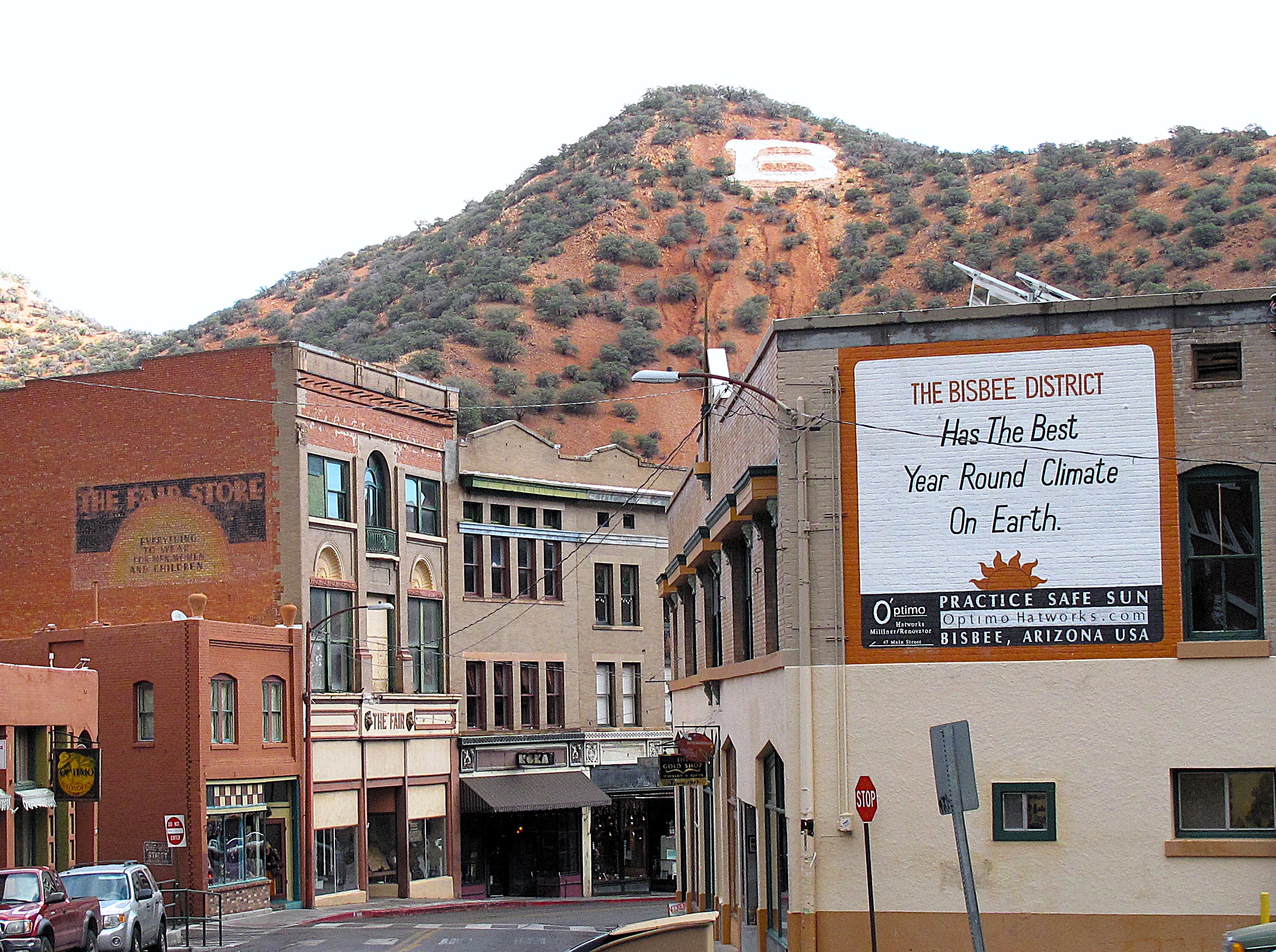
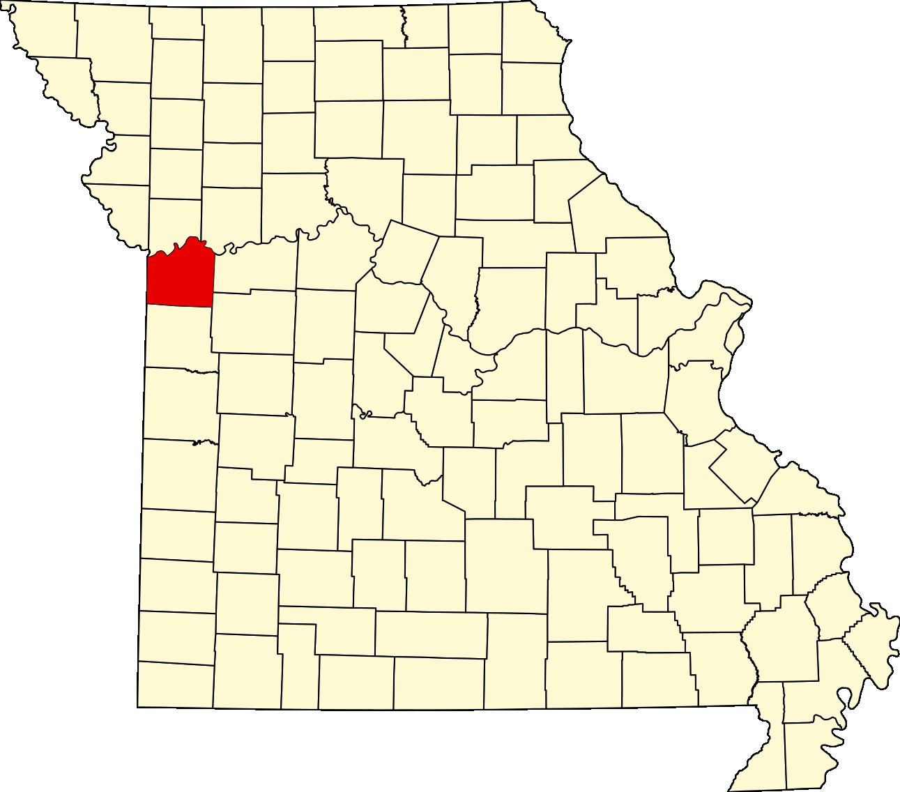
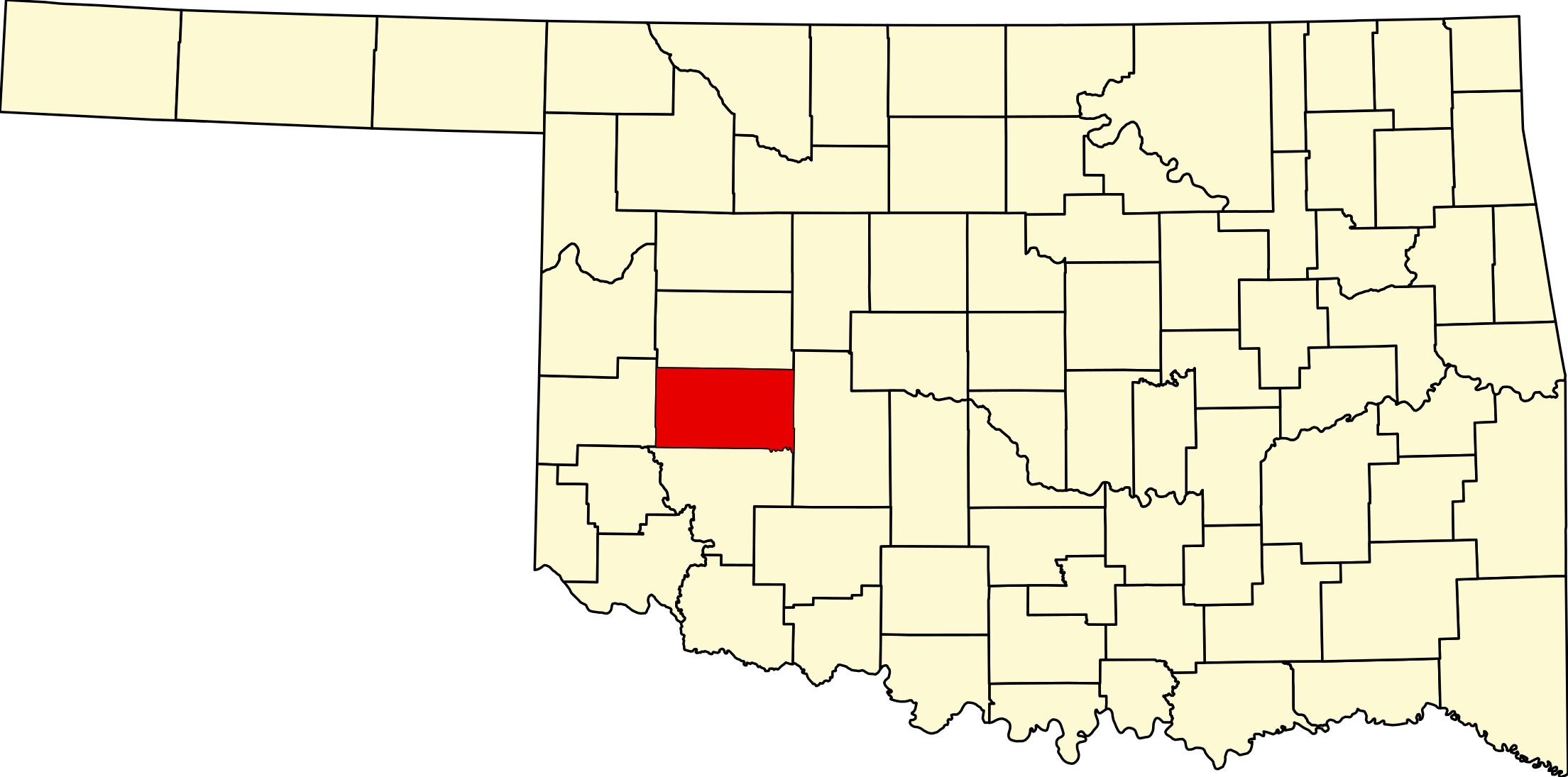
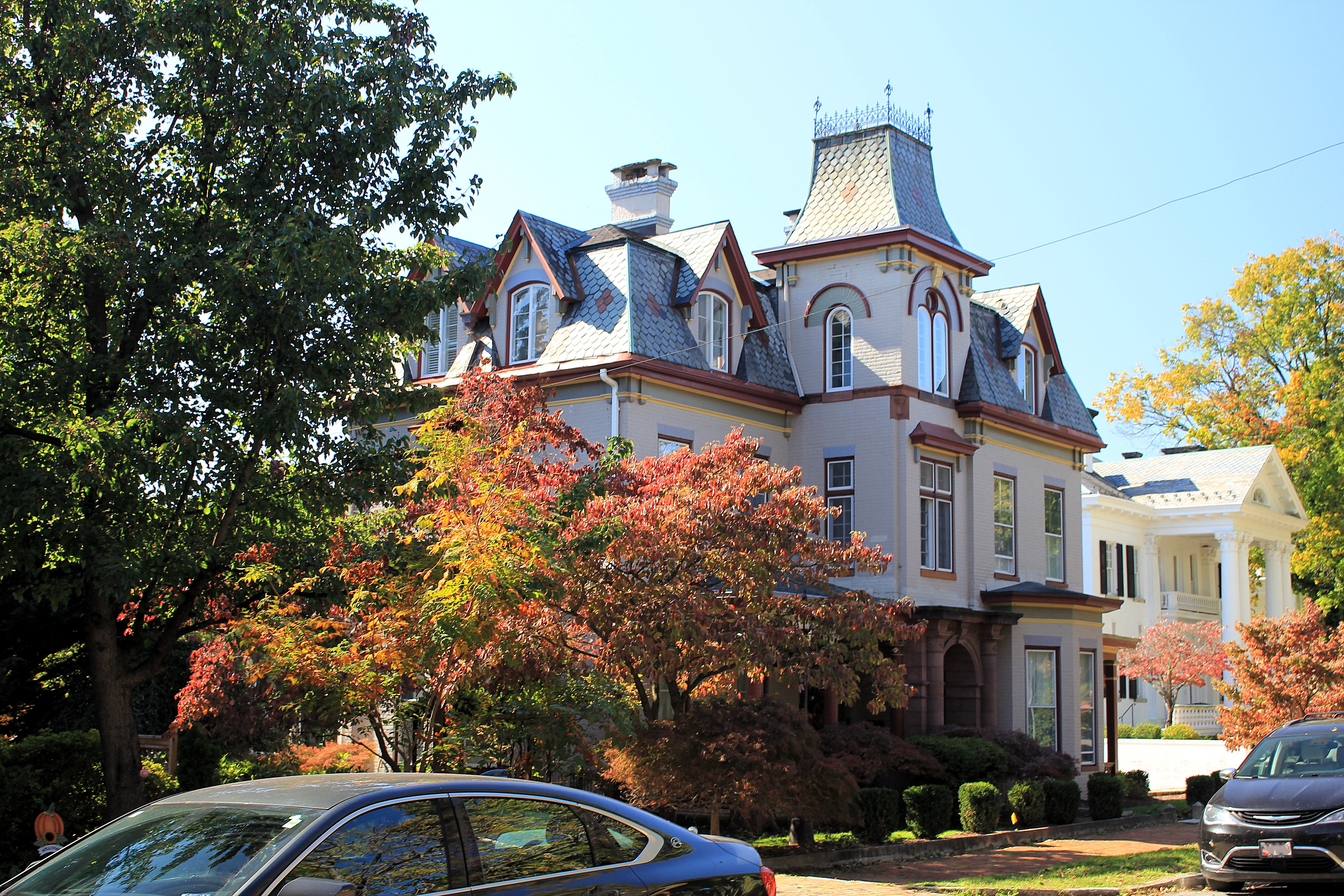
Georgetown, Colorado, county seat of Clear Creek County, is the Georgetown of the Rockies and lies at an elevation of 8,350 feet in the mountains, about 45 miles directly west of Denver along Interstate 70. Georgetown was founded as a silver mining camp along Clear Creek in 1859. At its height, Georgetown earned the nickname of “Silver Queen of Colorado” and had over 10,000 residents.
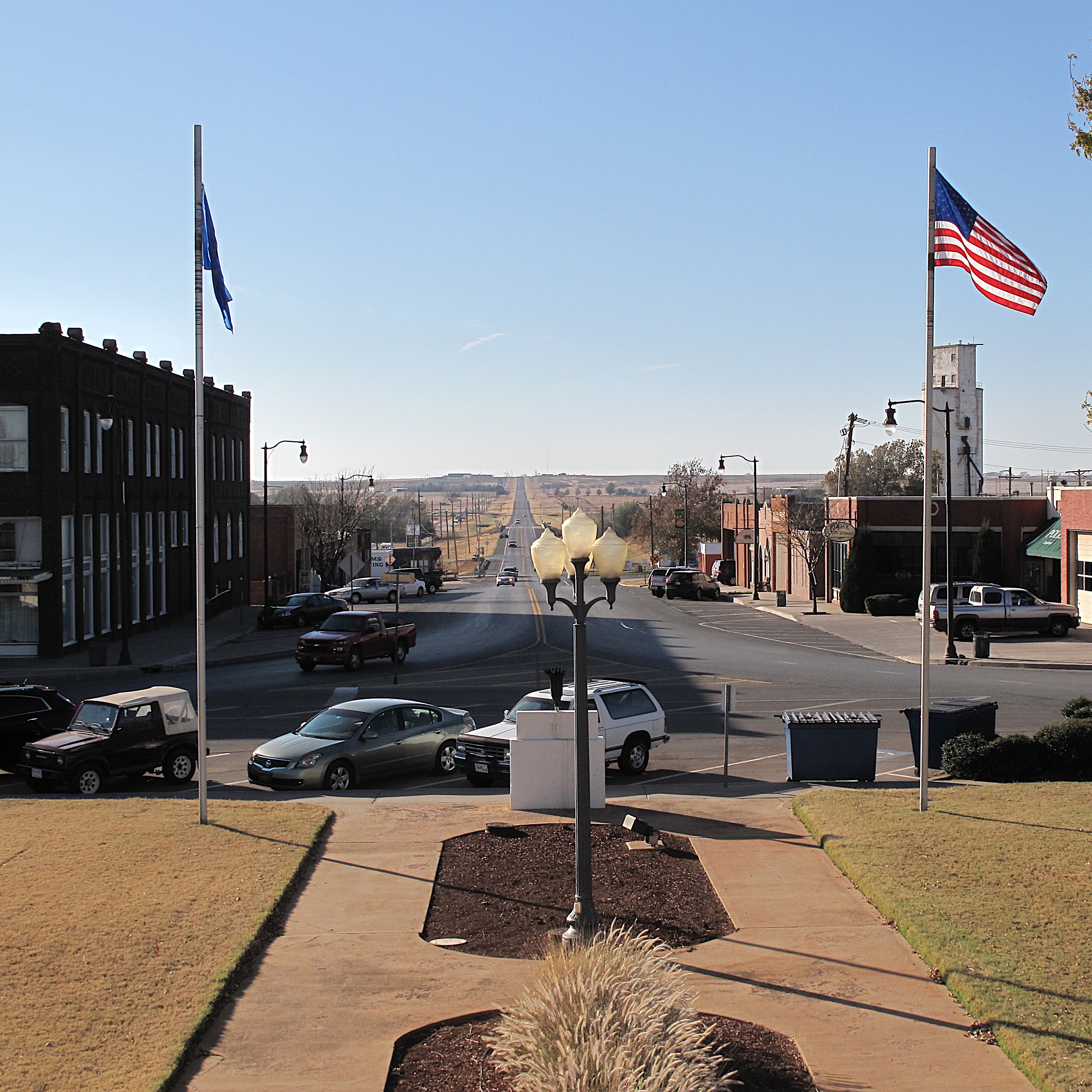
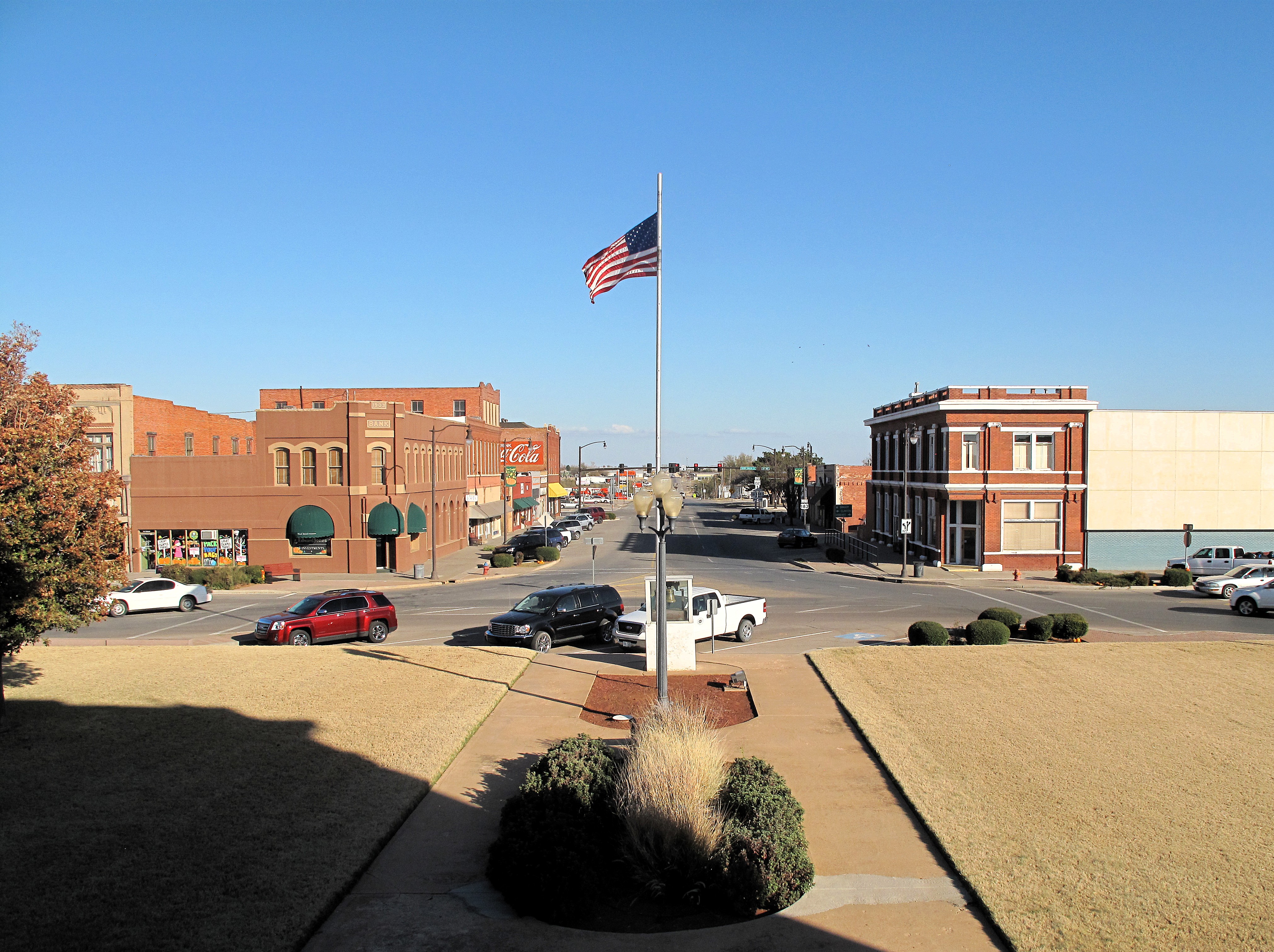
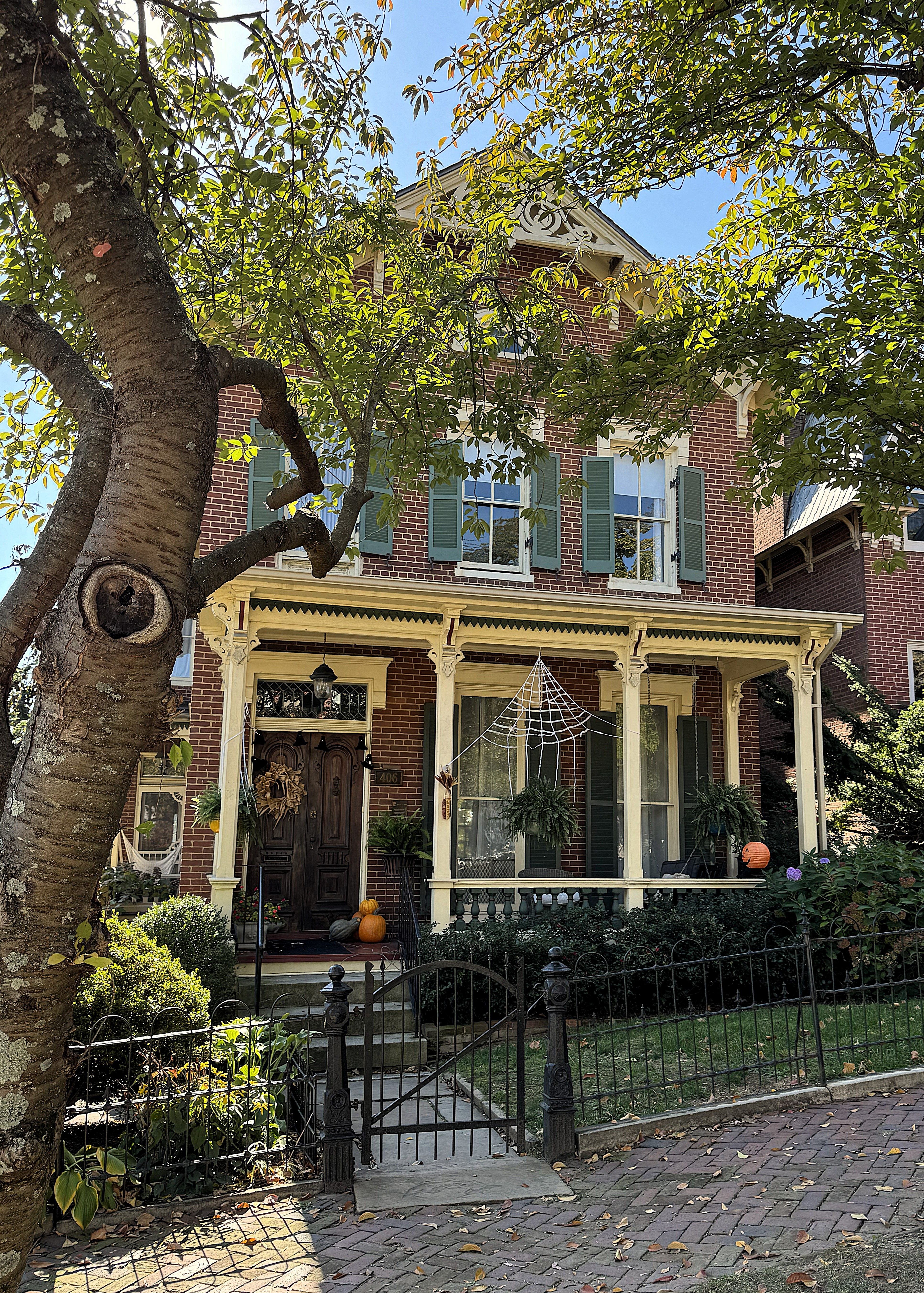
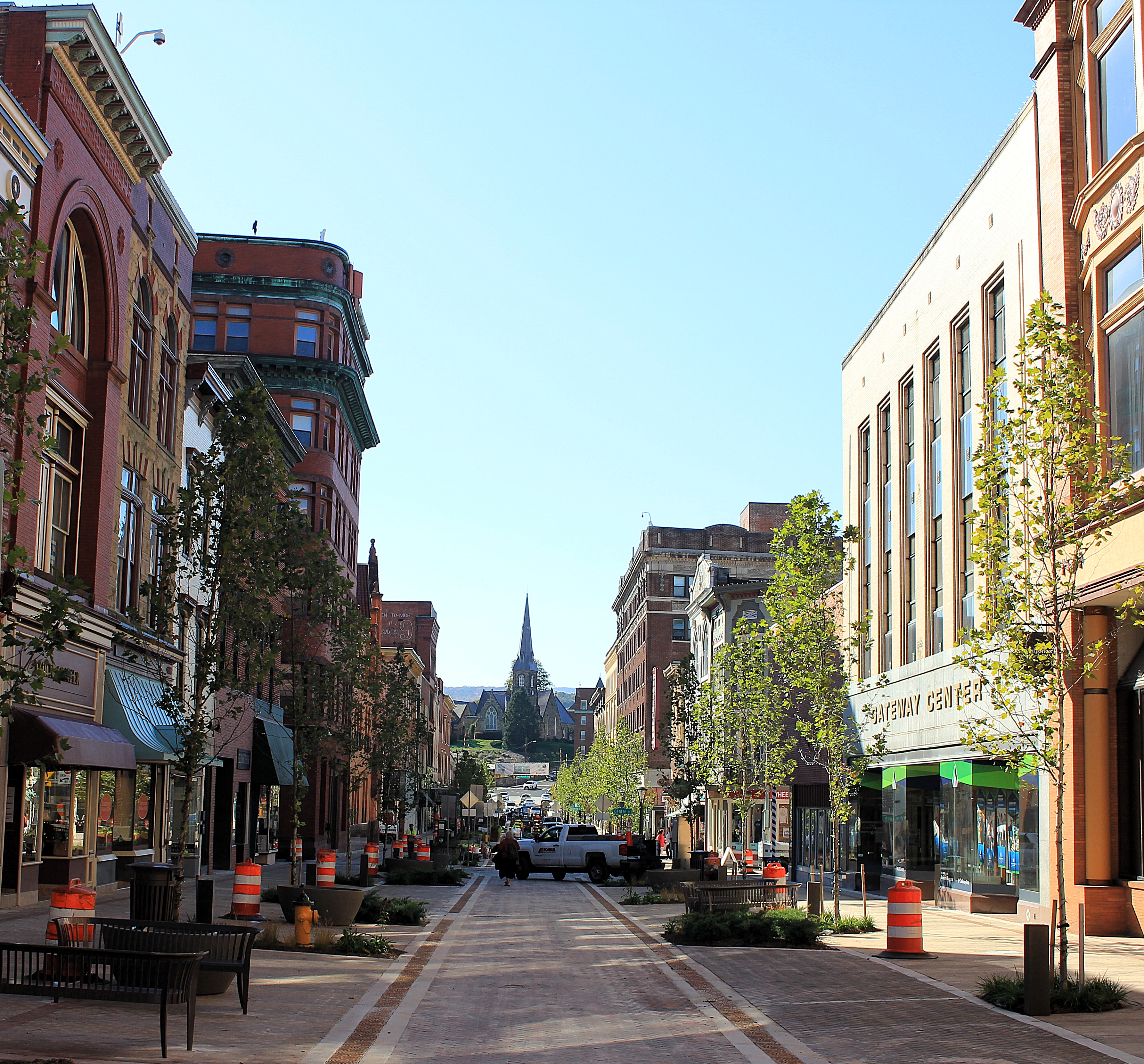
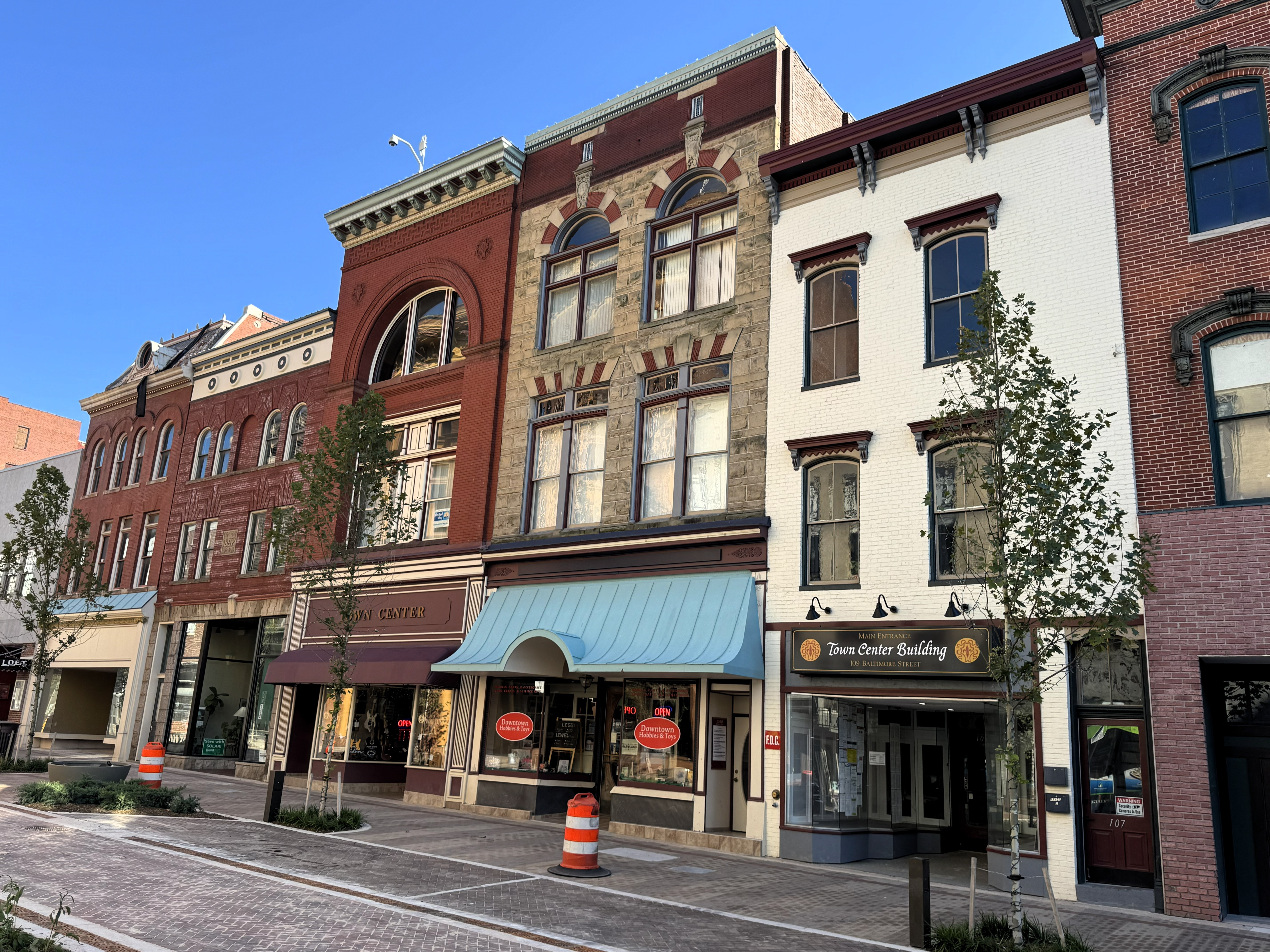
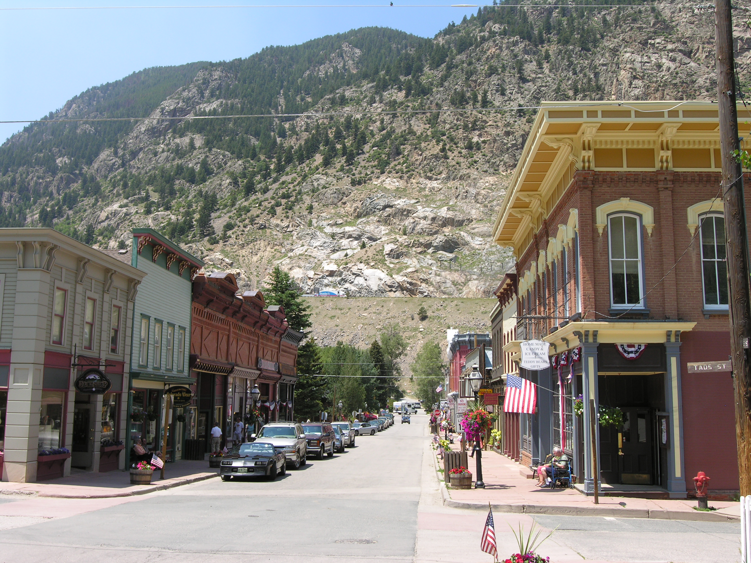
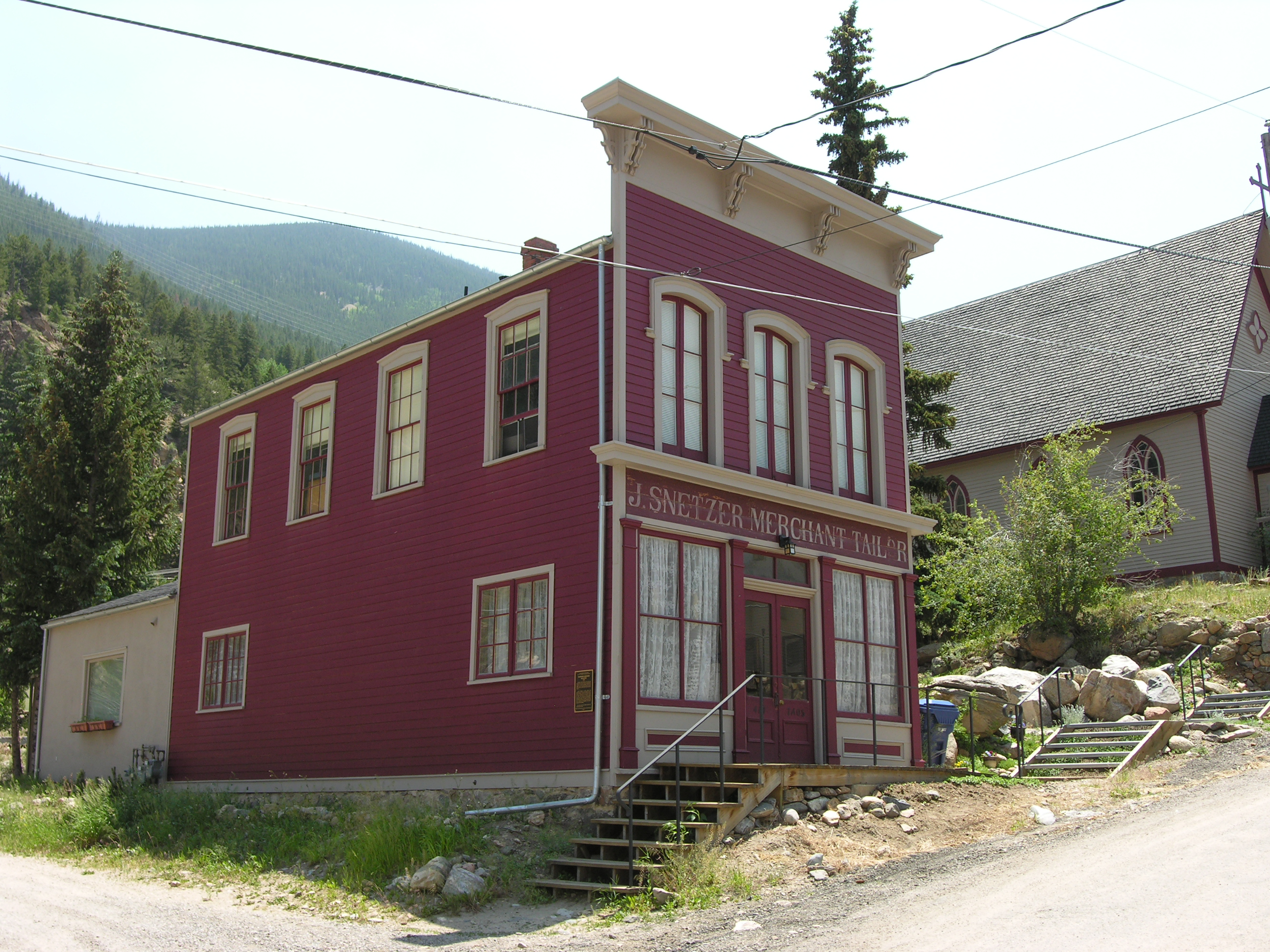
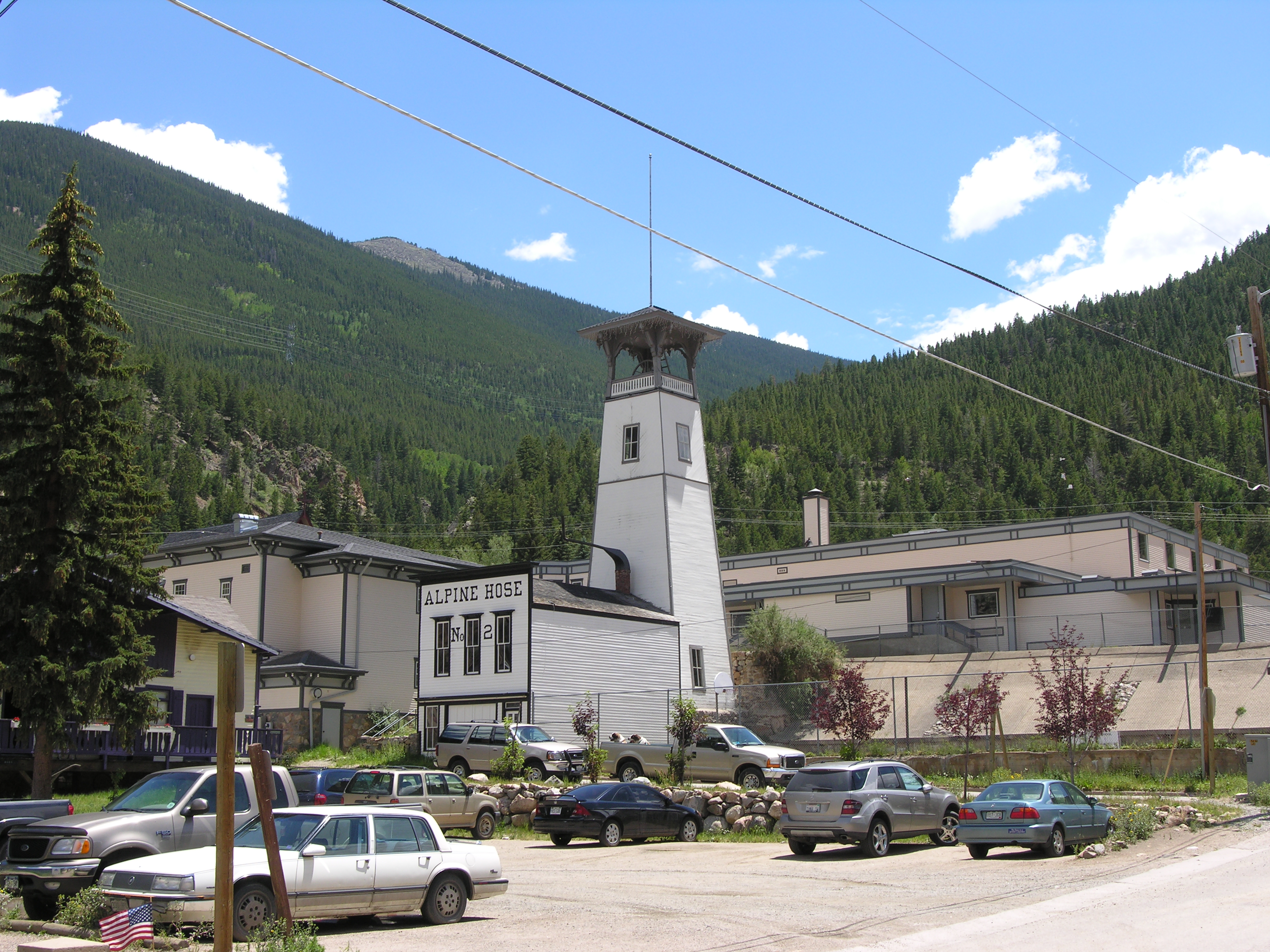
When the Colorado silver mining boom ended in 1893, the streets and buildings of Georgetown remained — like a museum. In 1966, the Federal government formally recognized this museum as the Georgetown-Silver Plume National Historic Landmark District. Today, Georgetown, Colorado, is a thriving tourist destination with enough permanent residents to keep Clear Creek County’s services running.
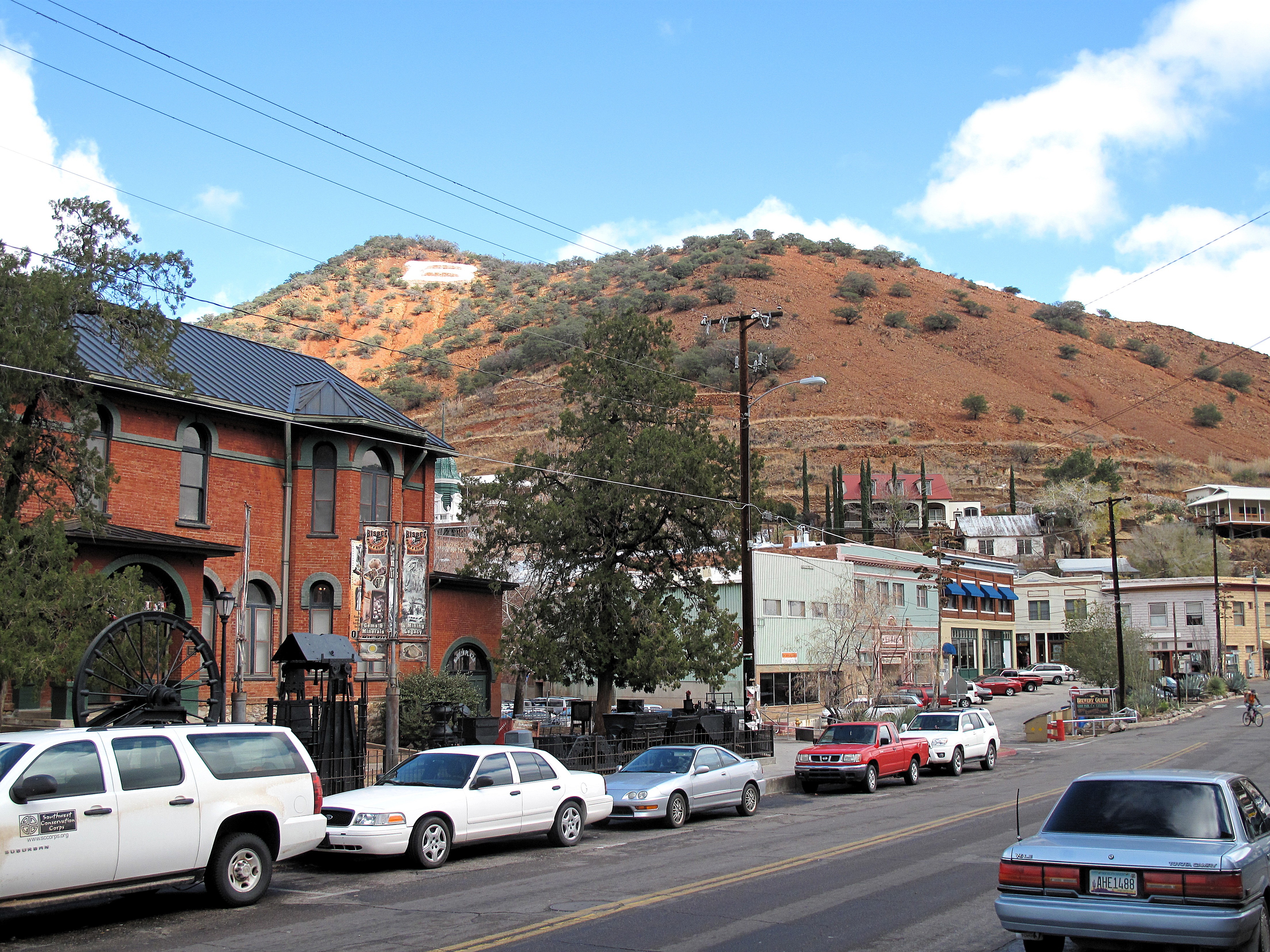
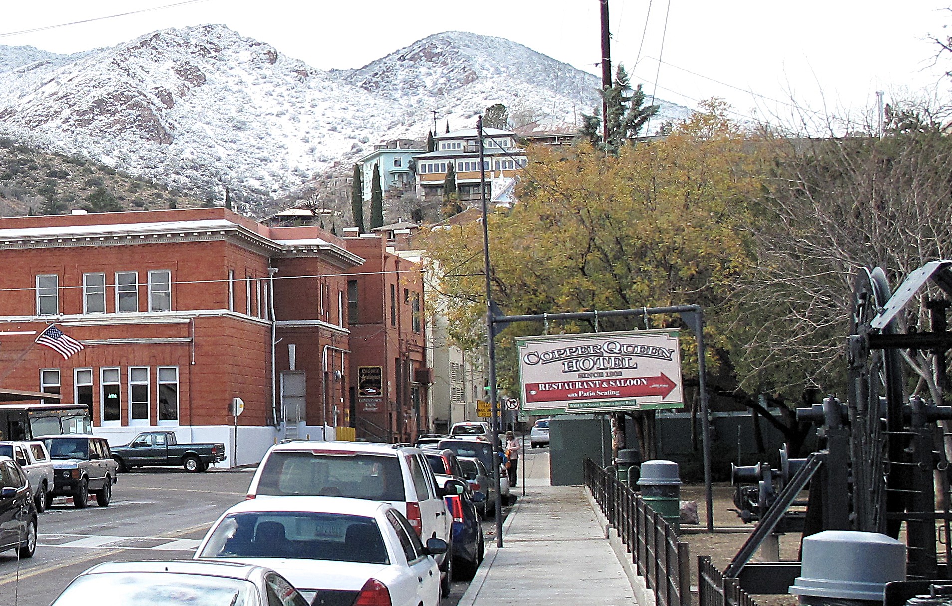
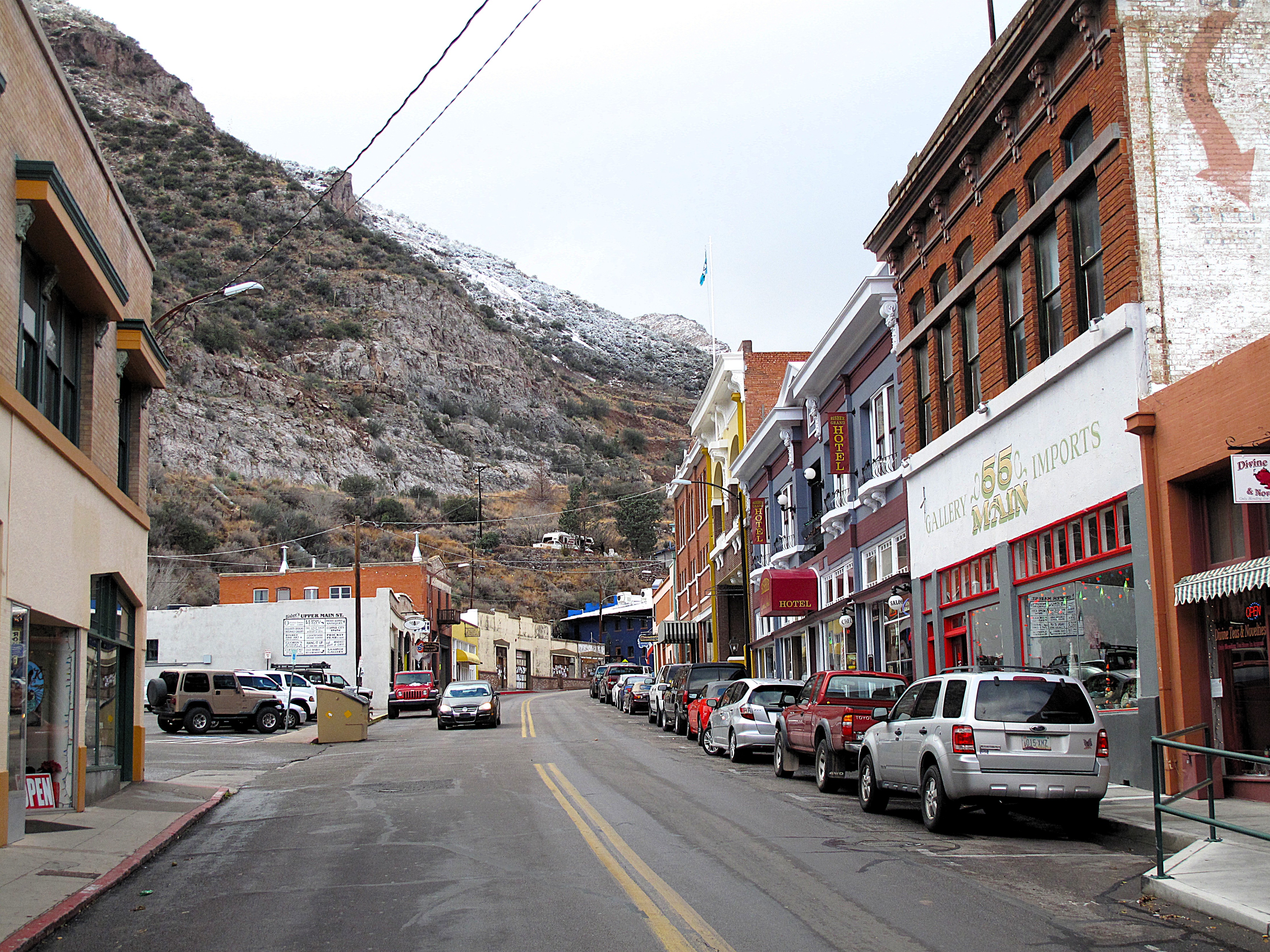
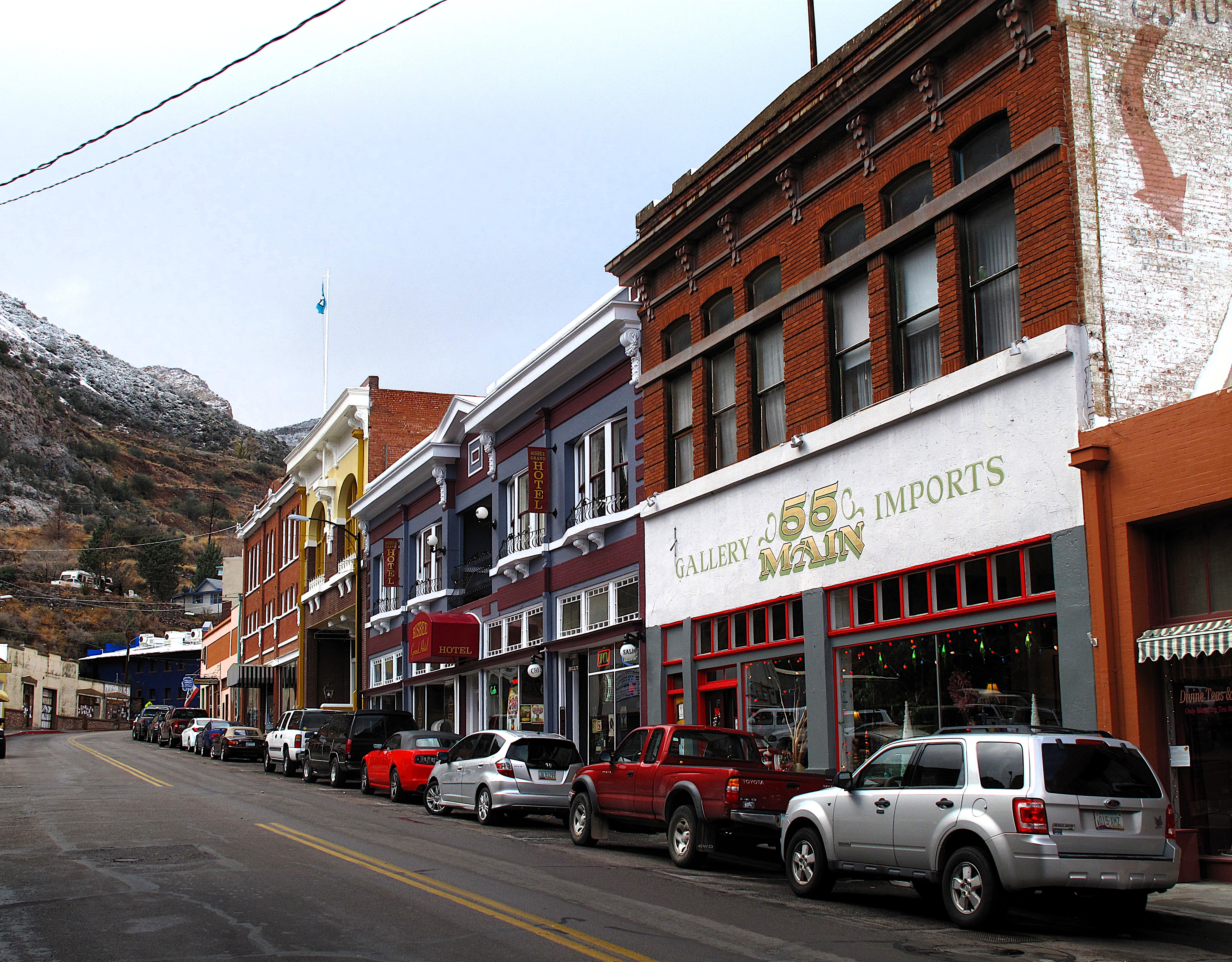
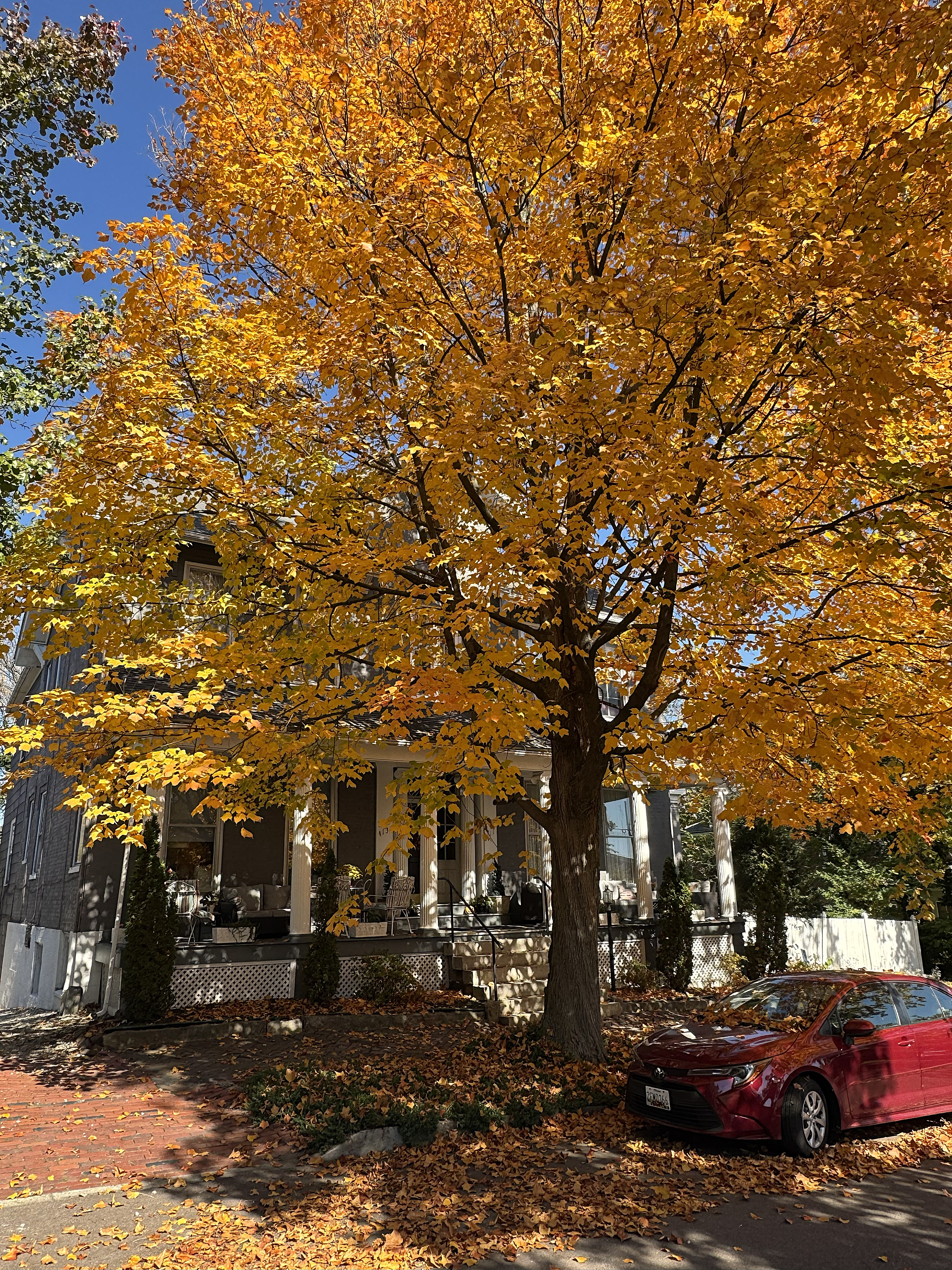
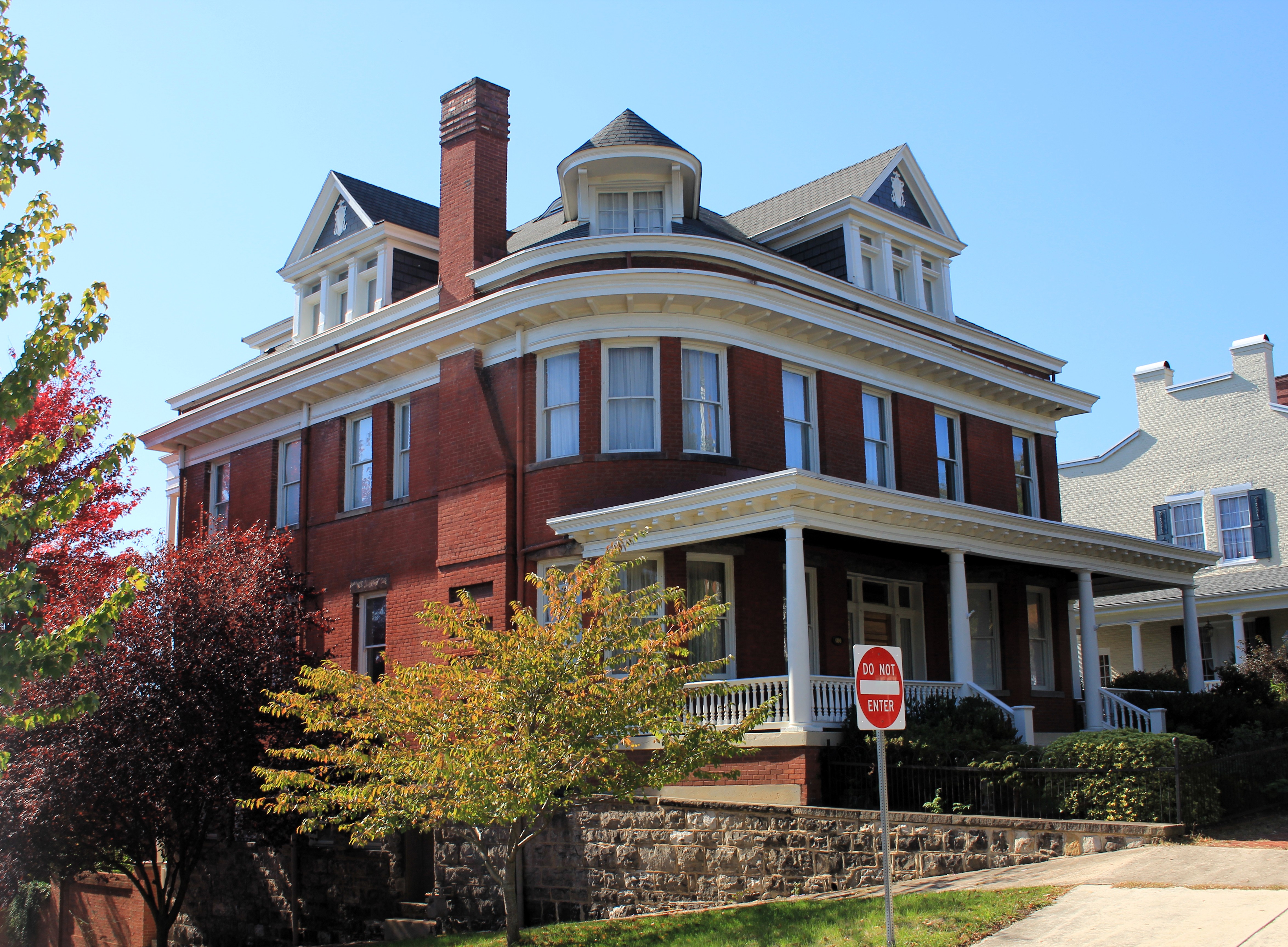
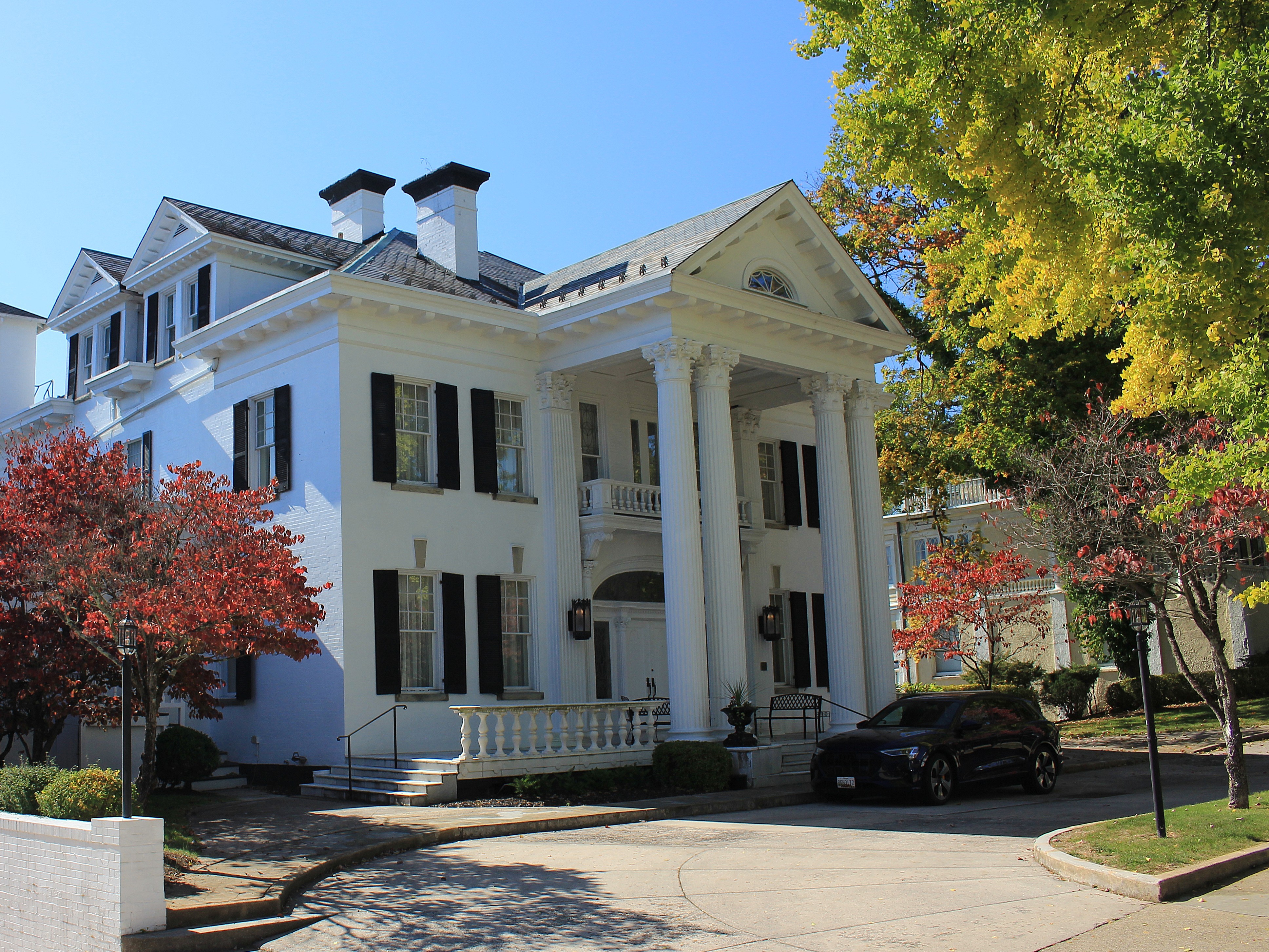
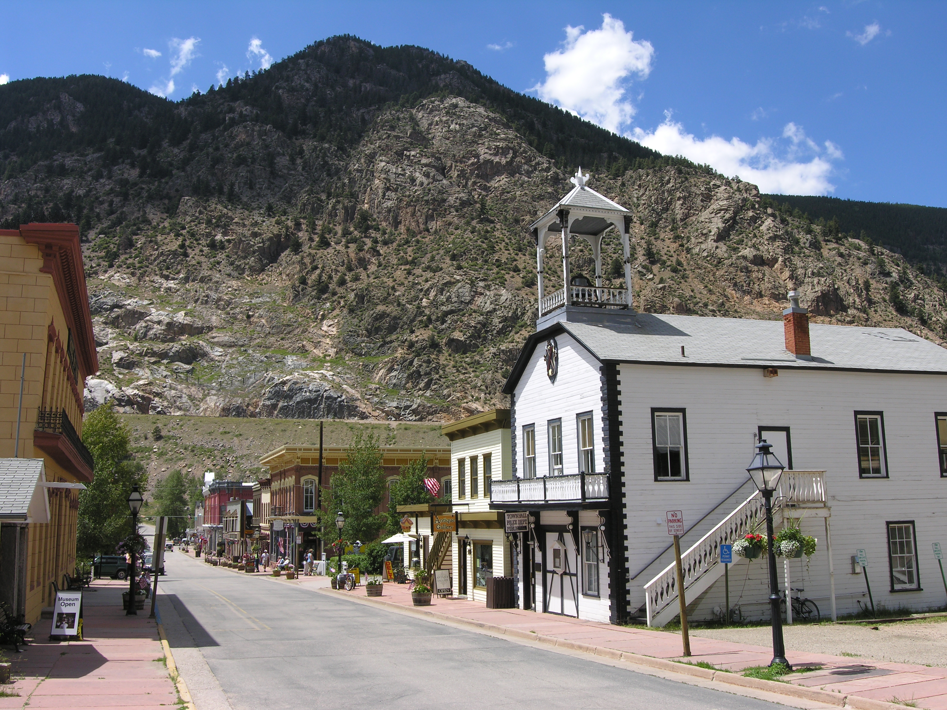
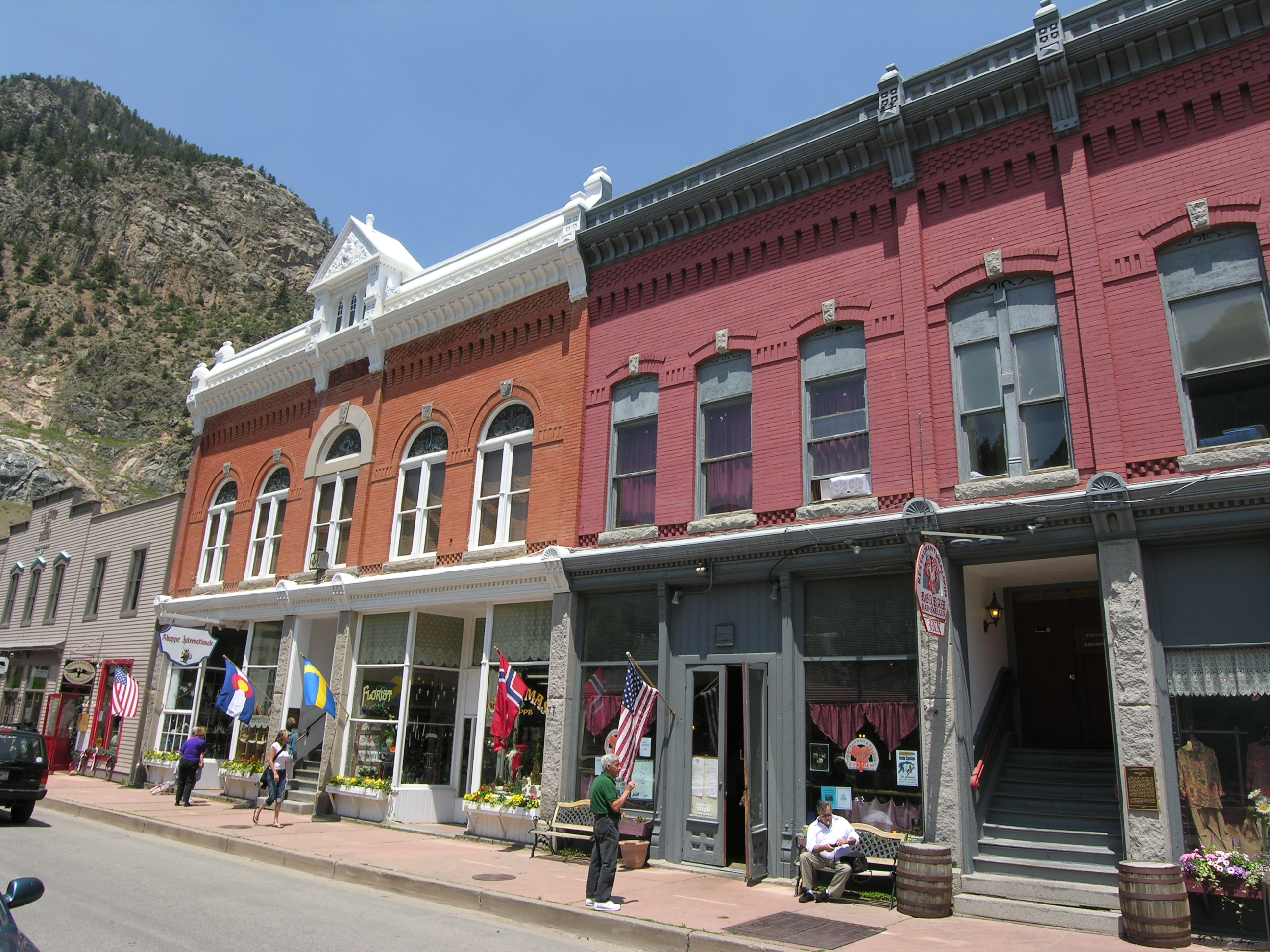
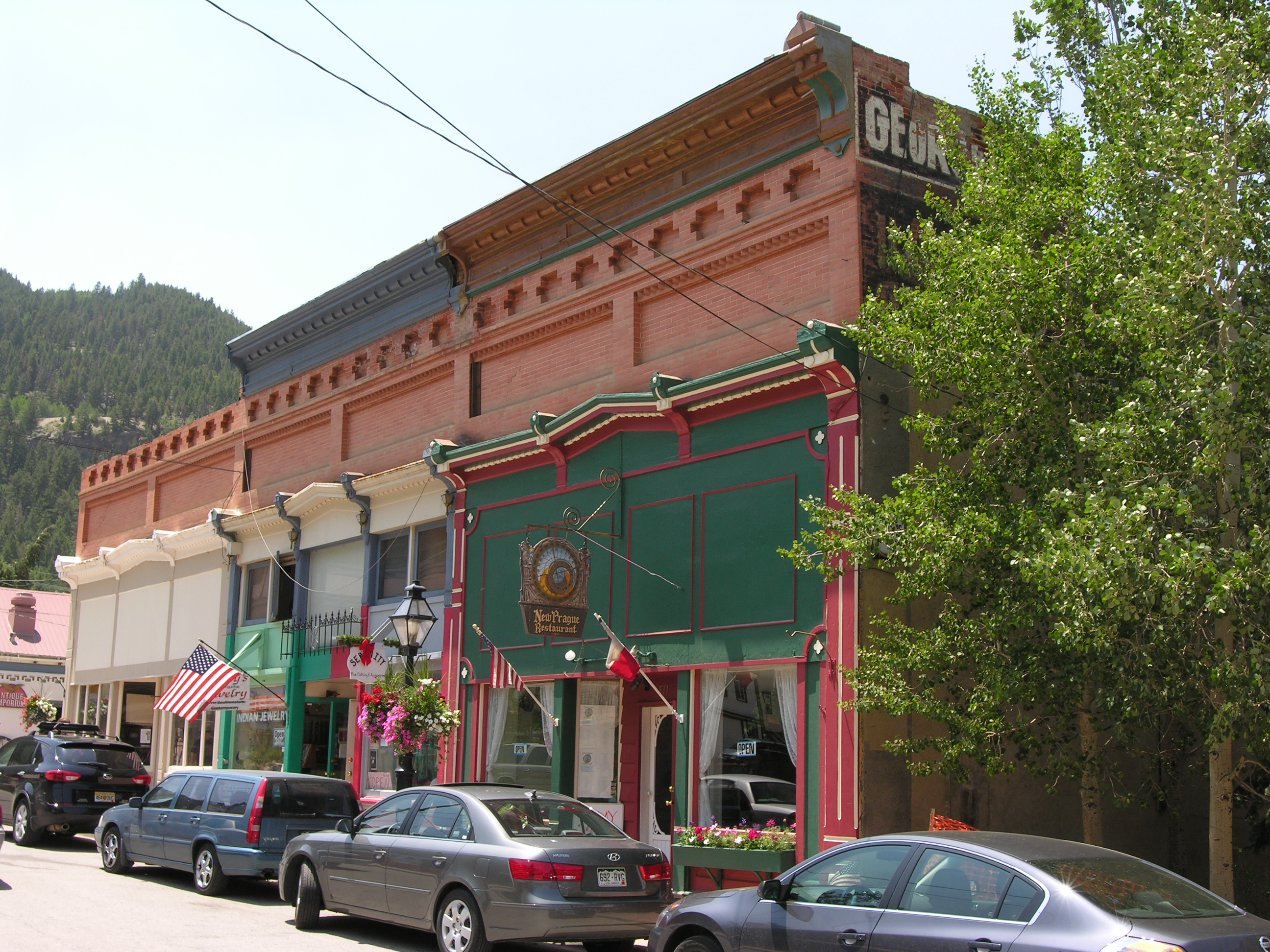
Here’s what the “museum” looks like today:

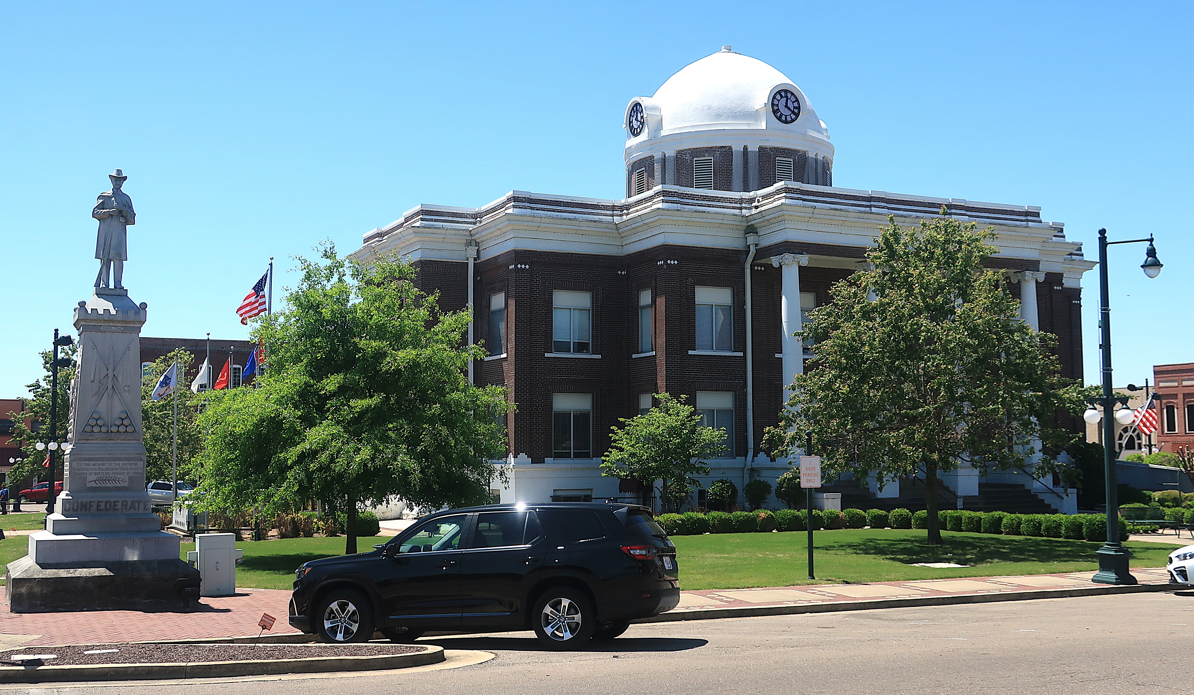
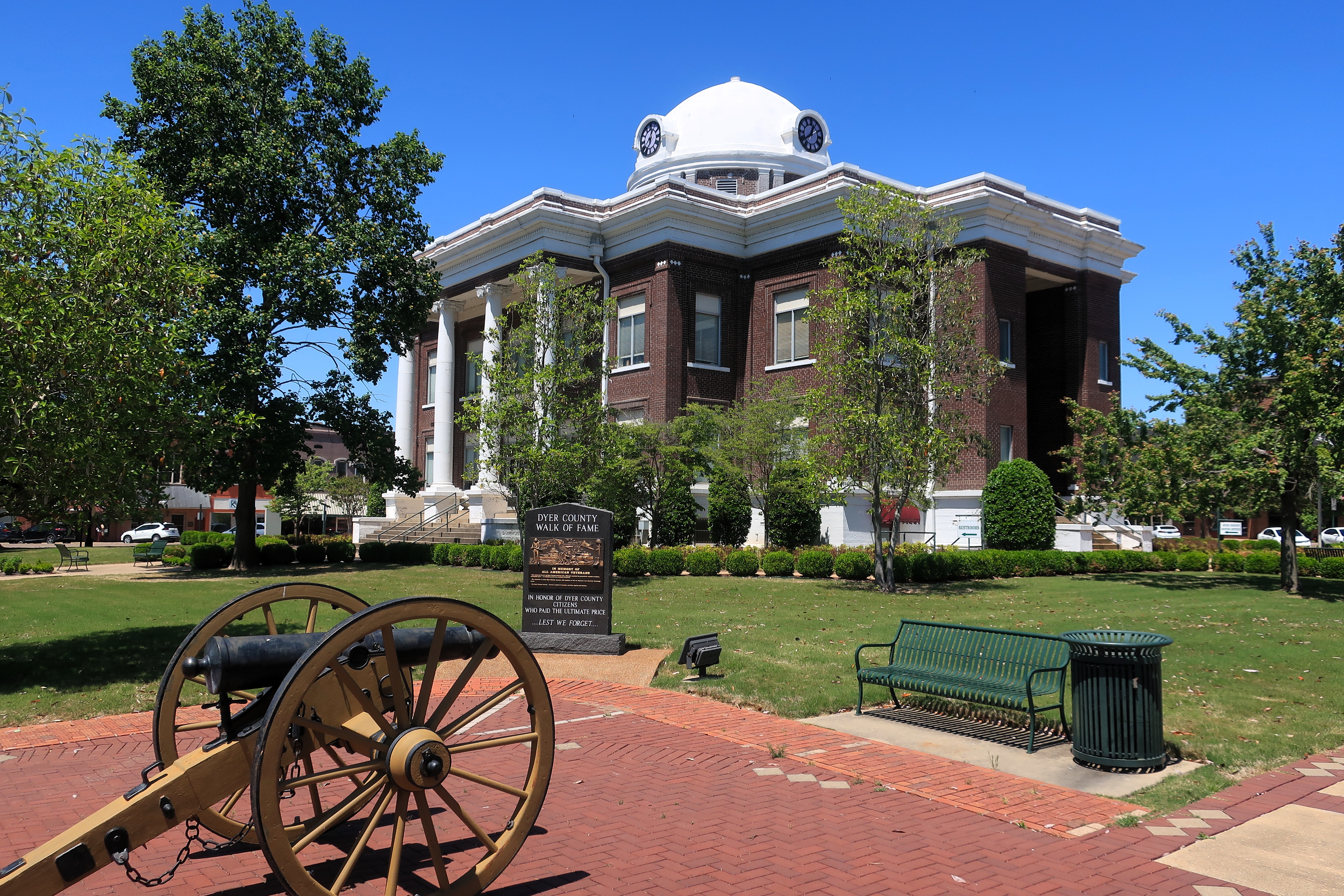
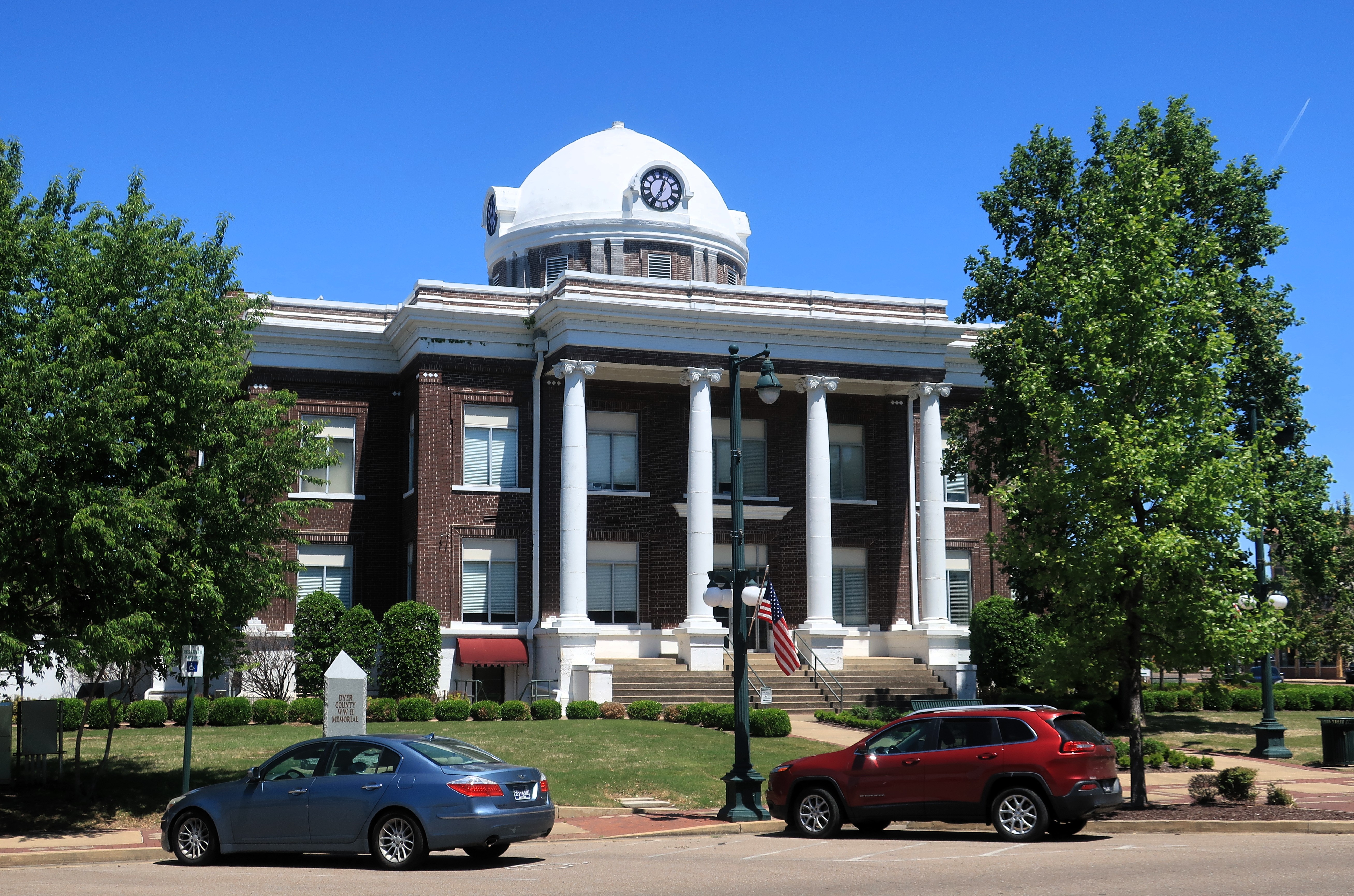
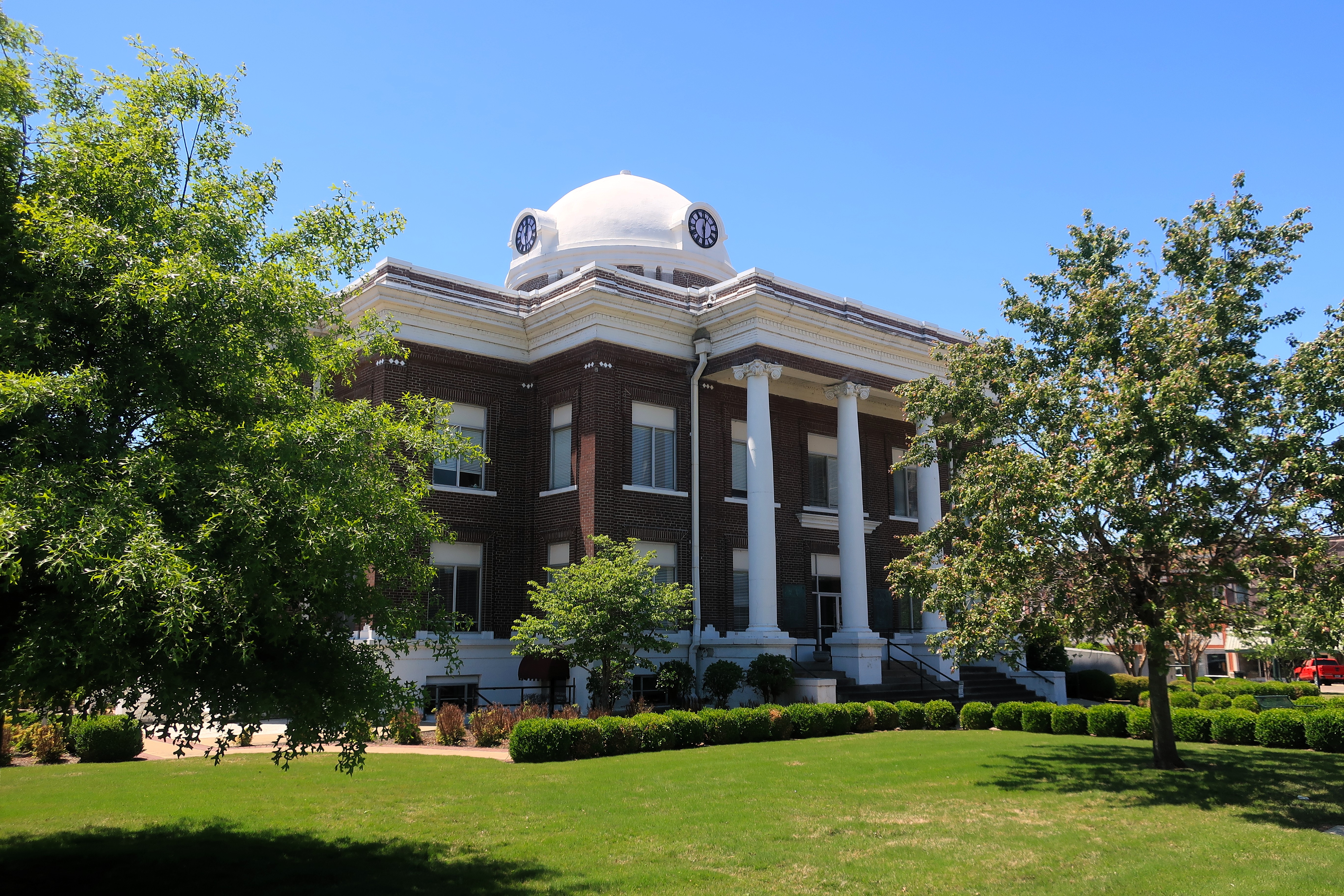
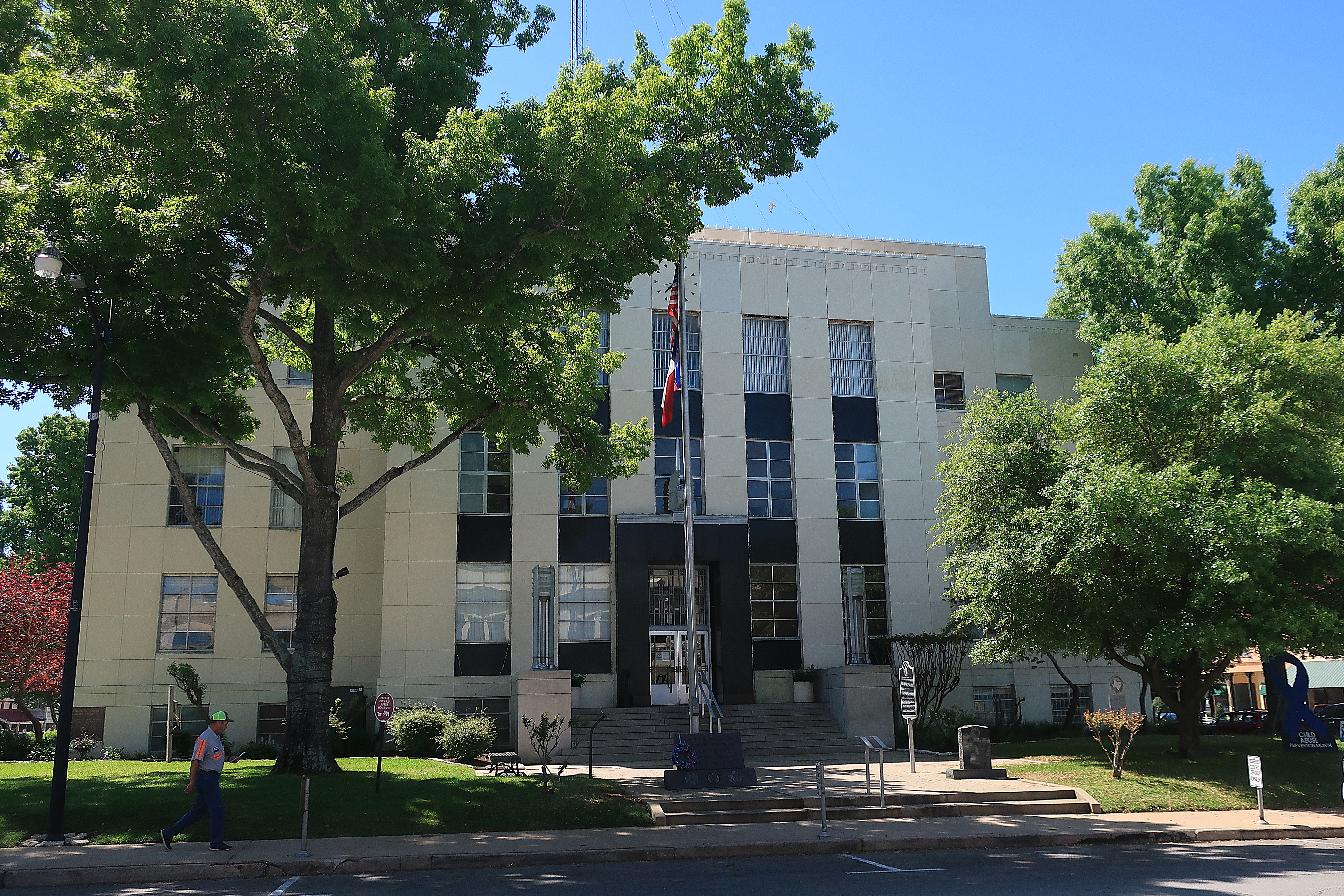
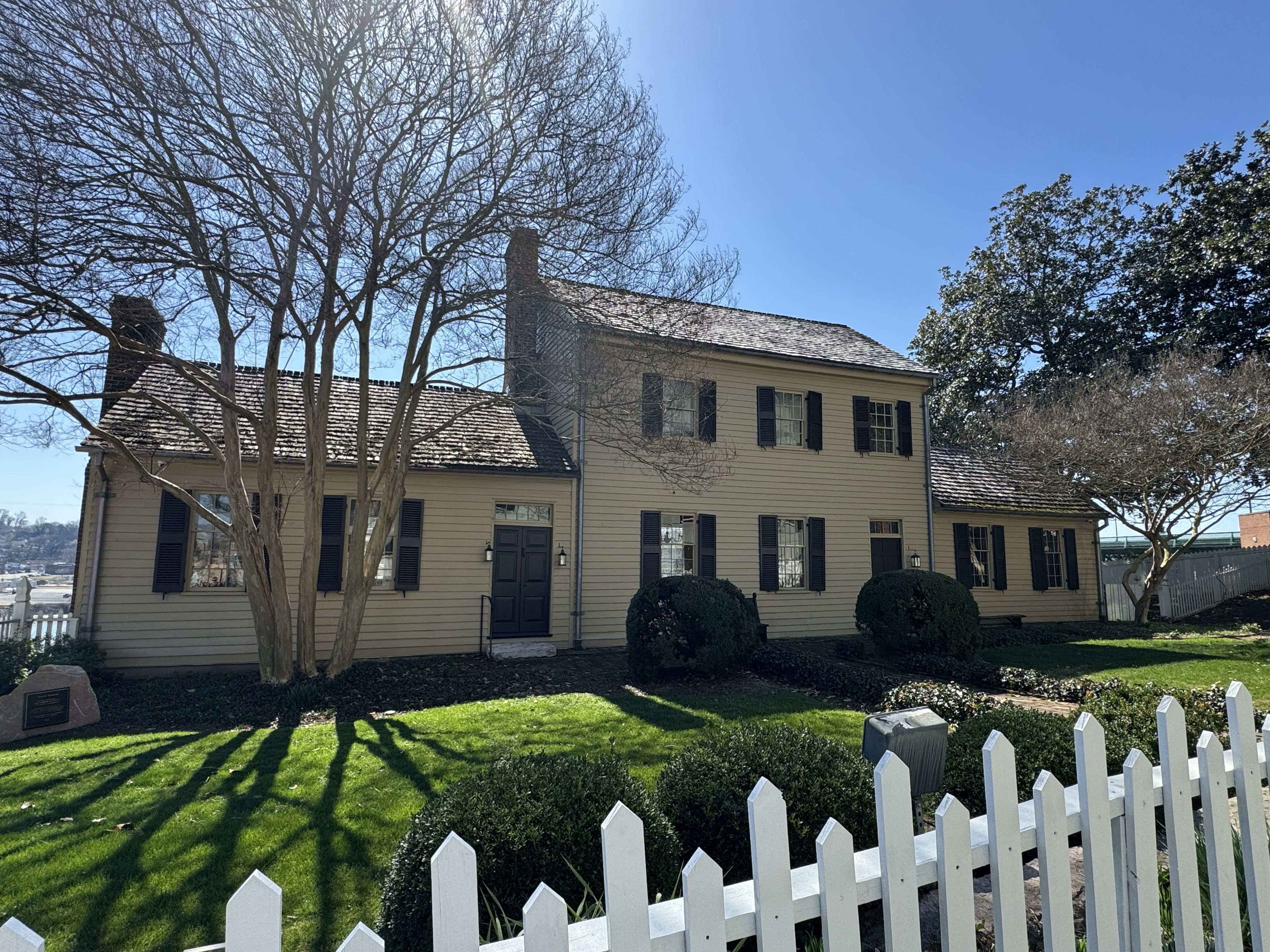
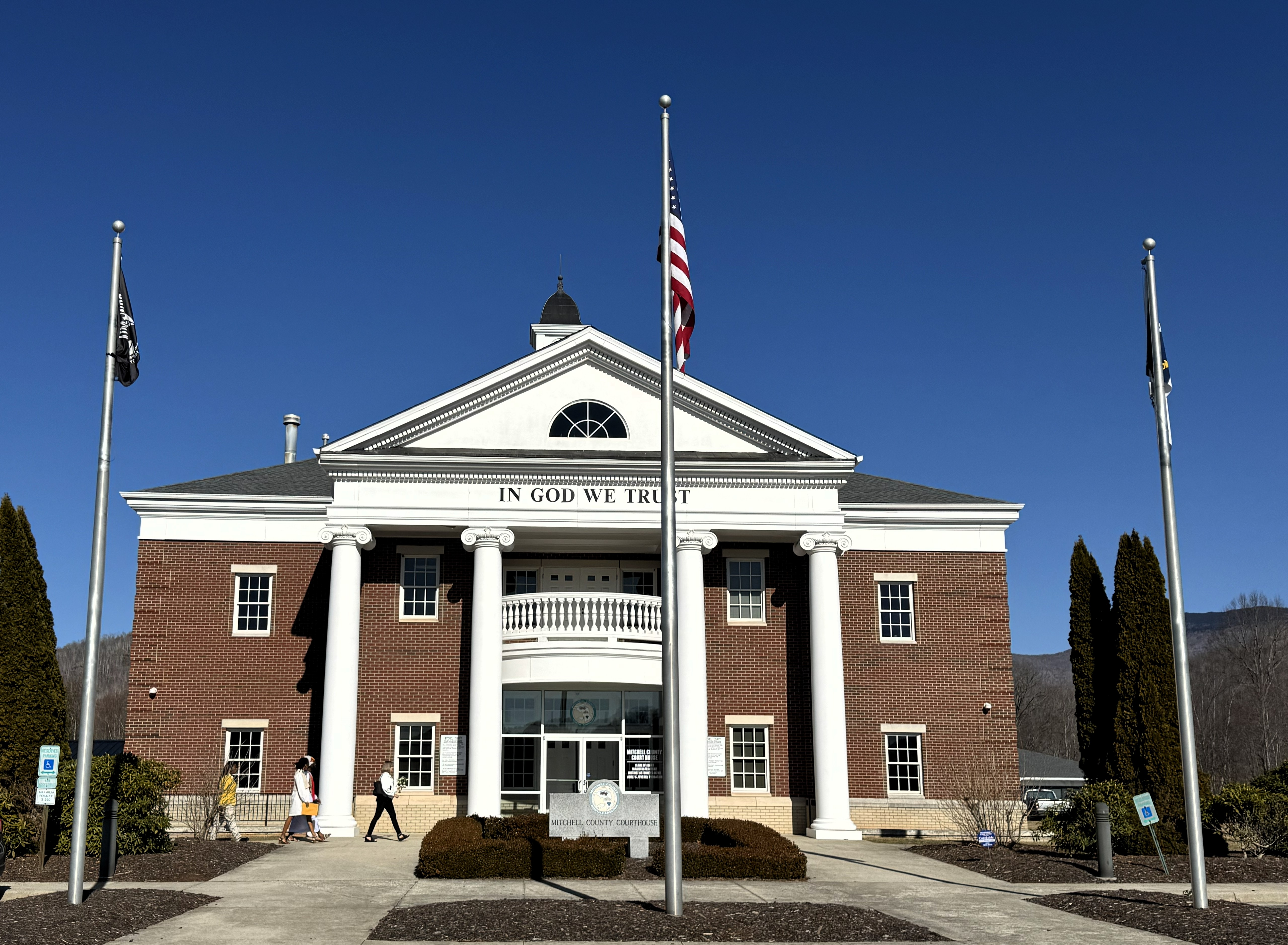
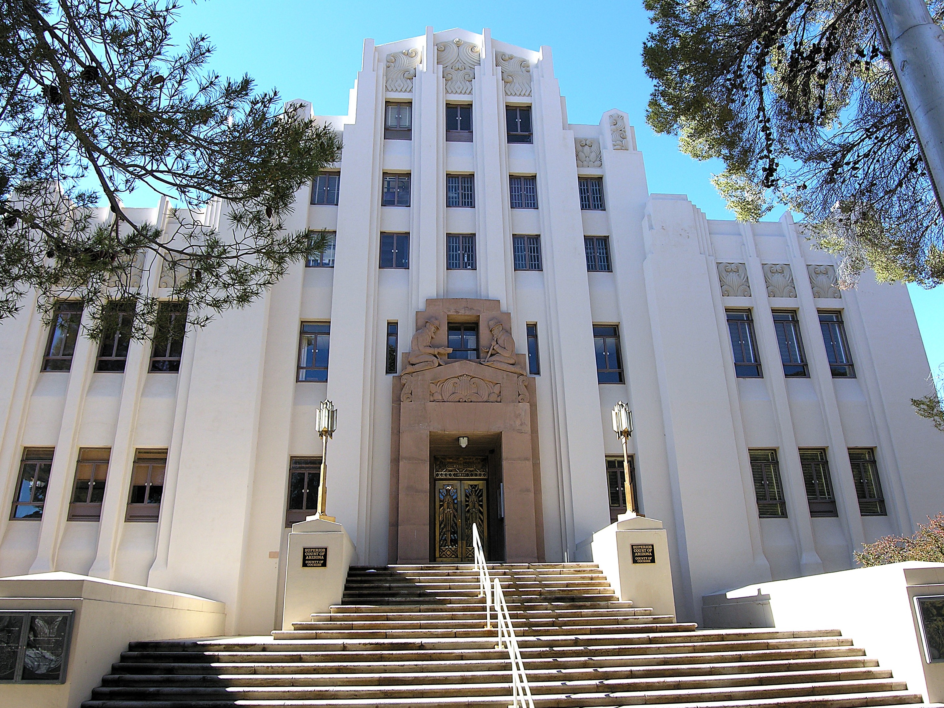
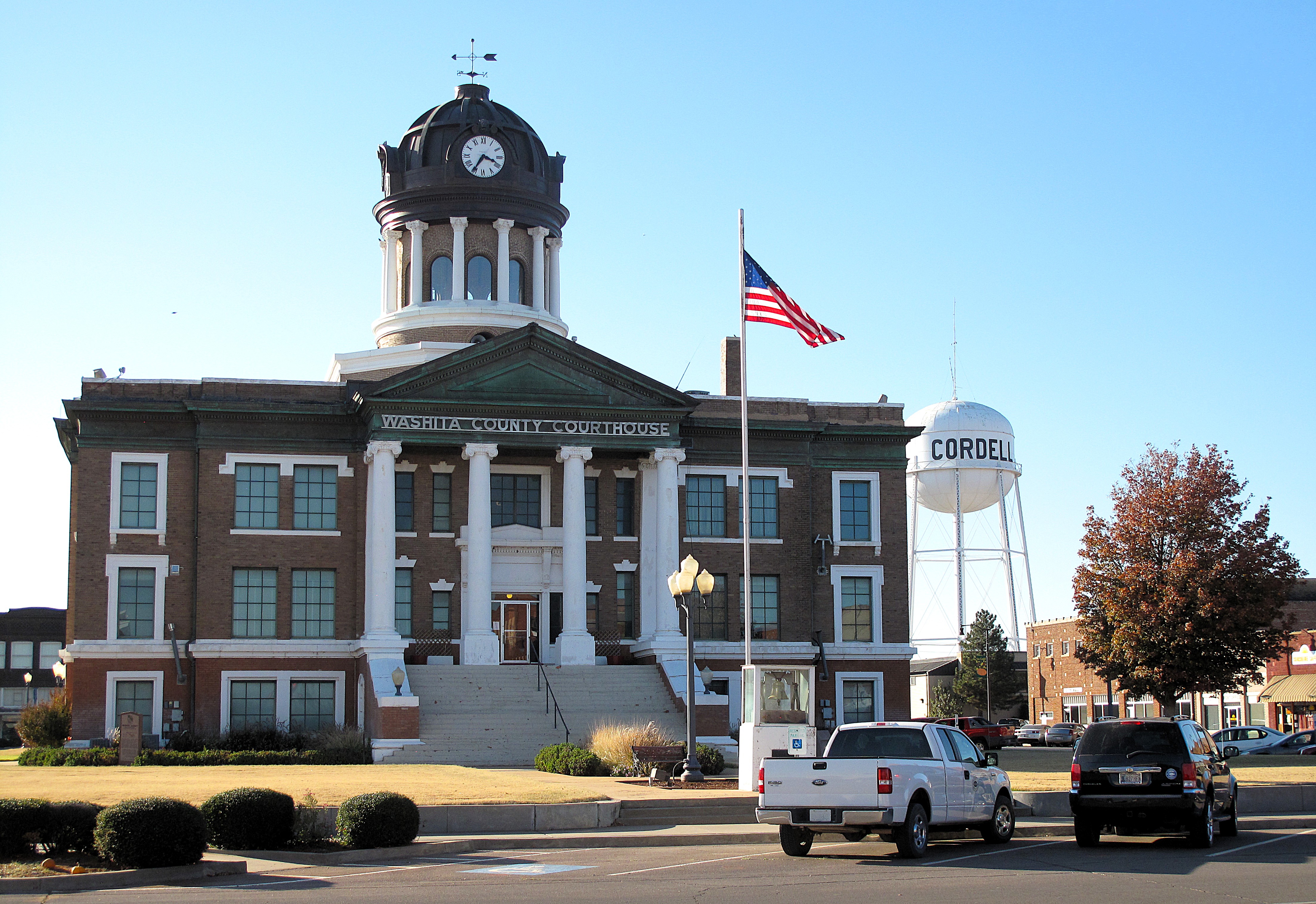
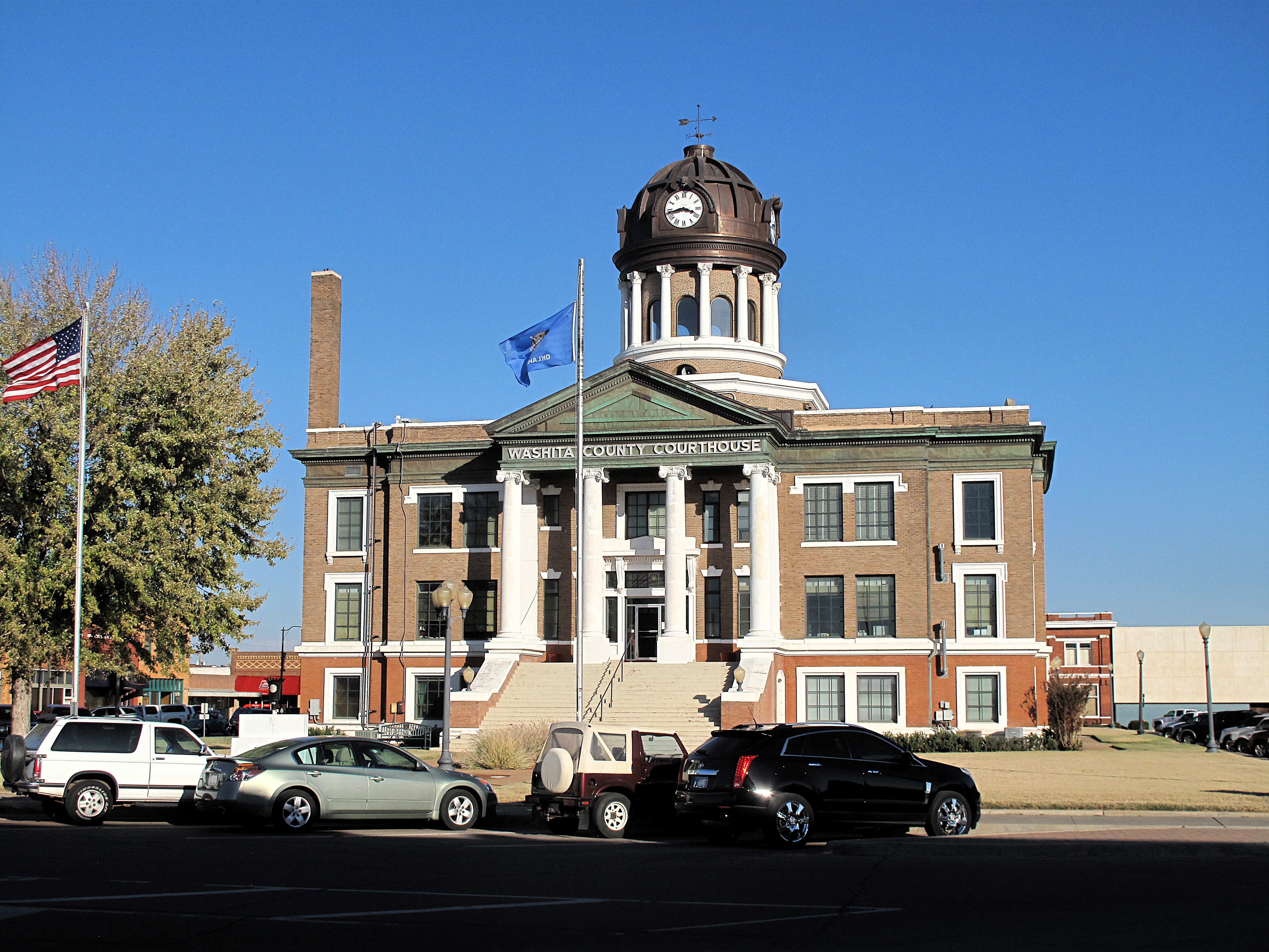
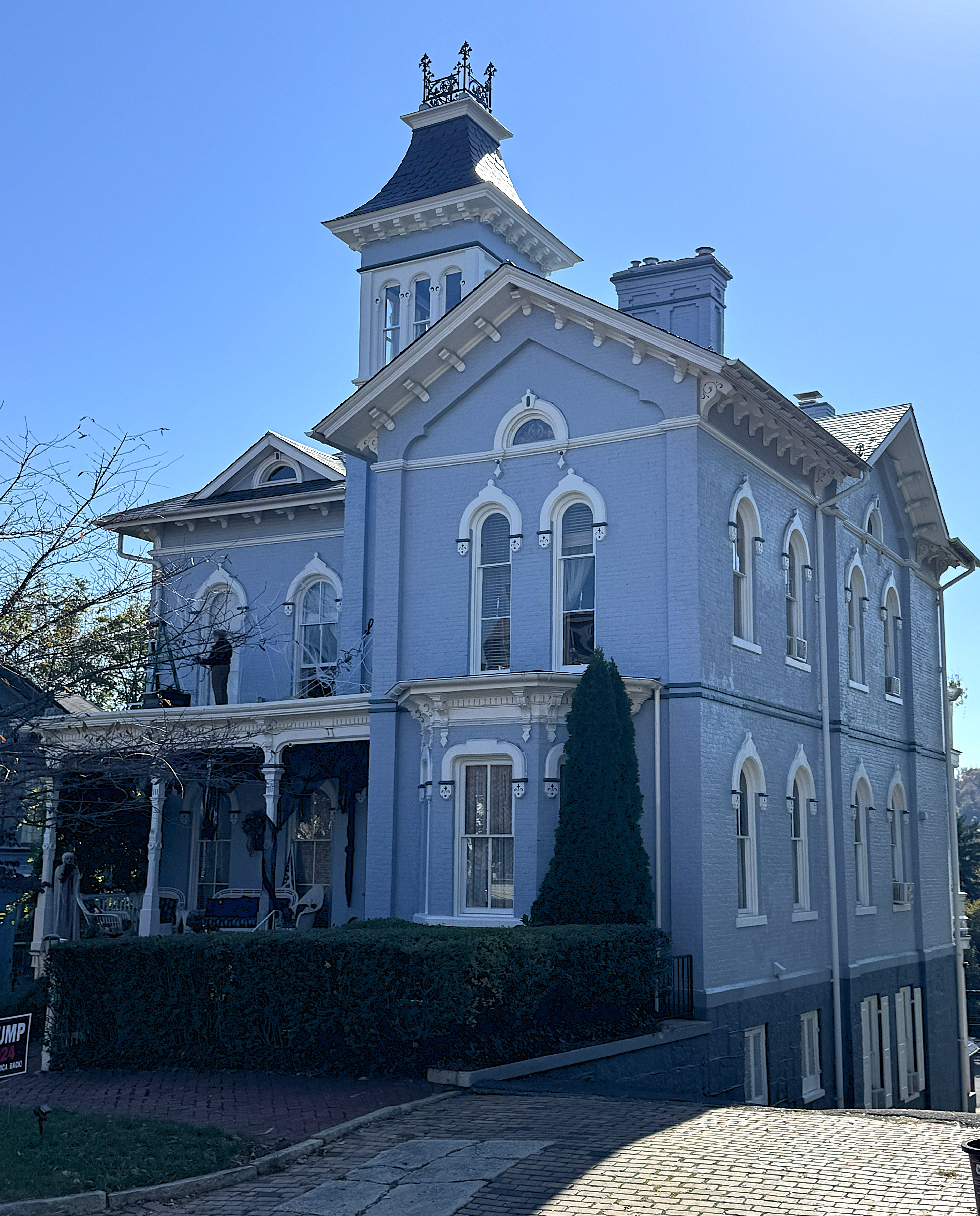
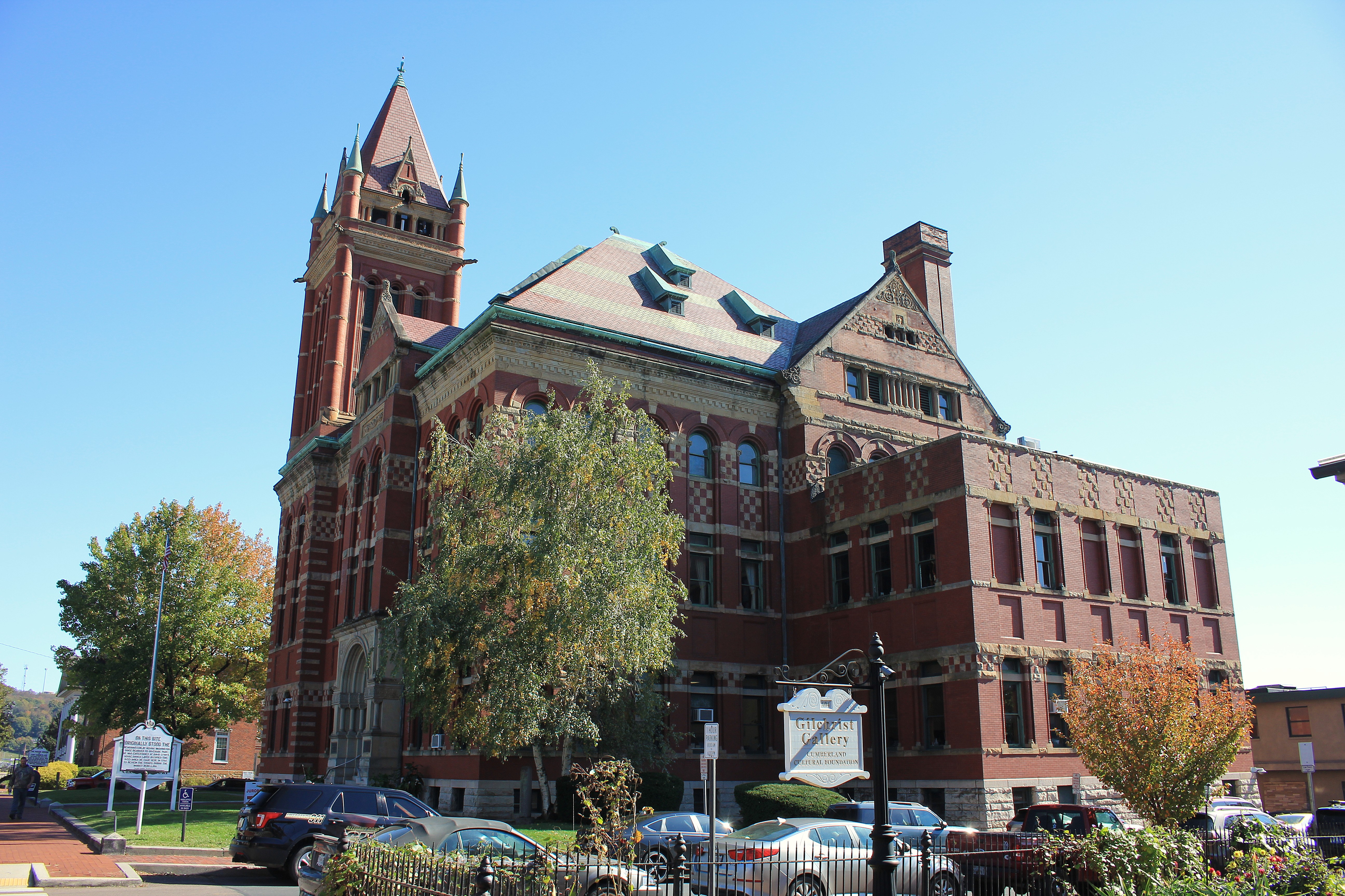
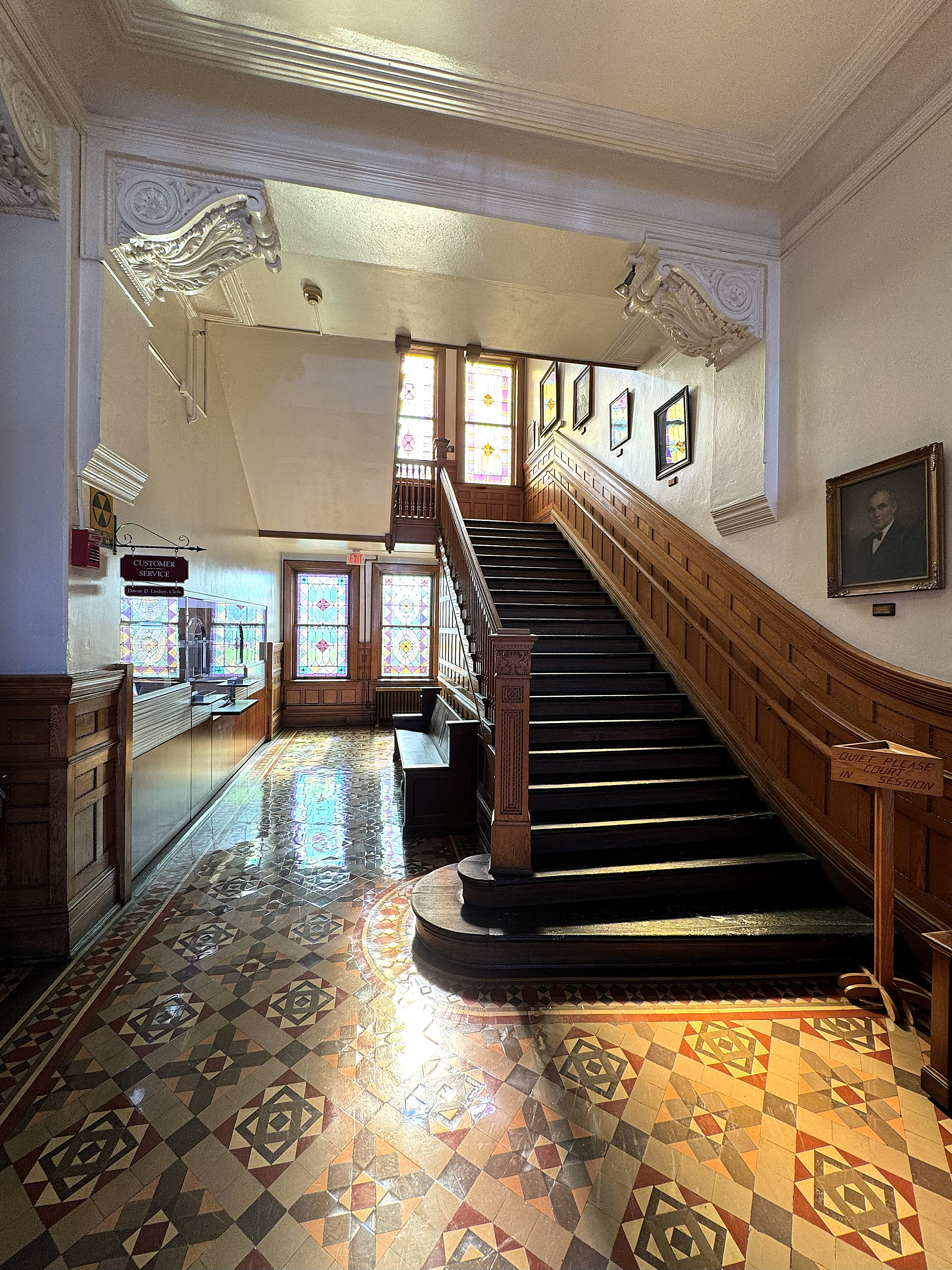
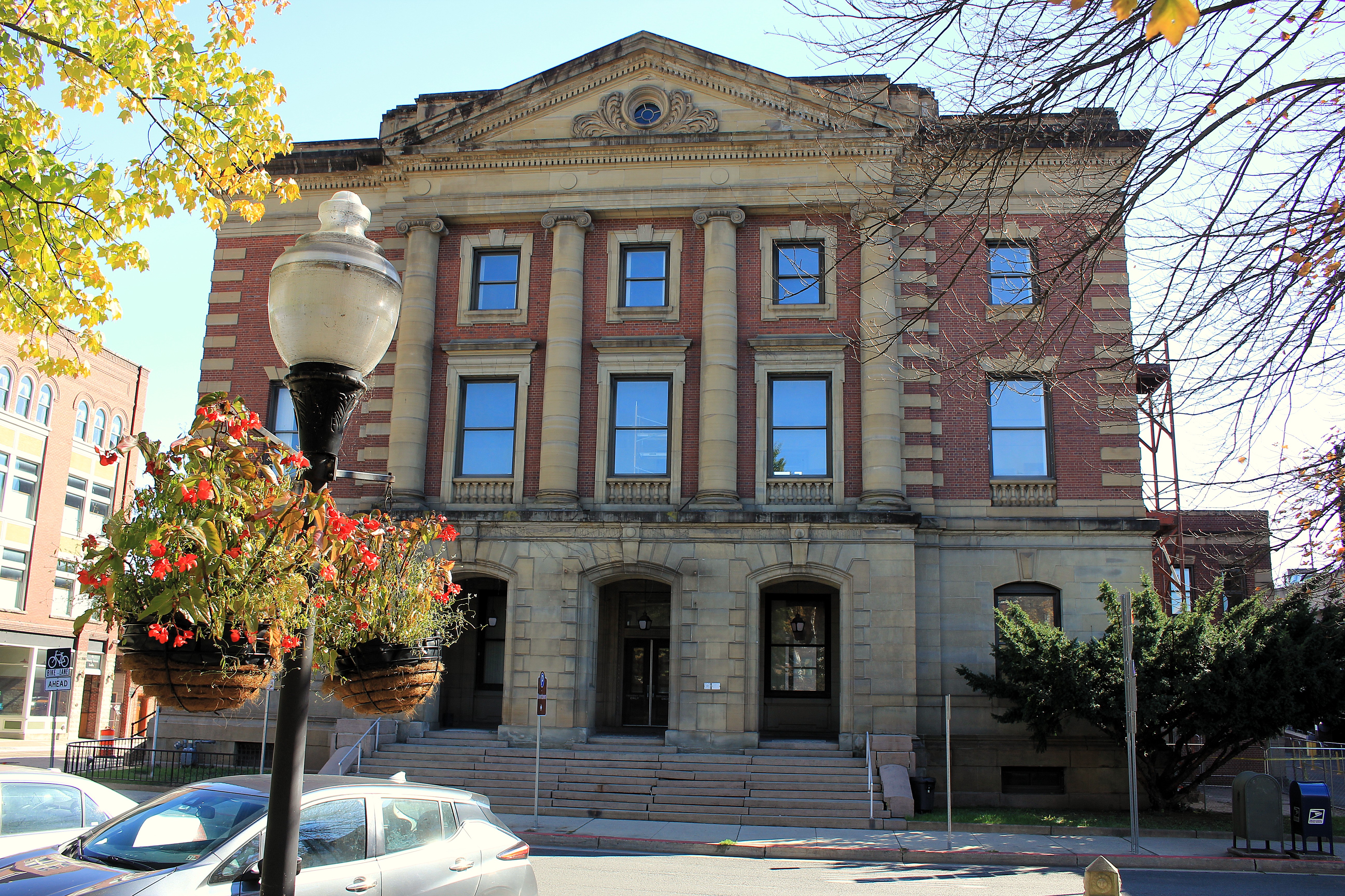
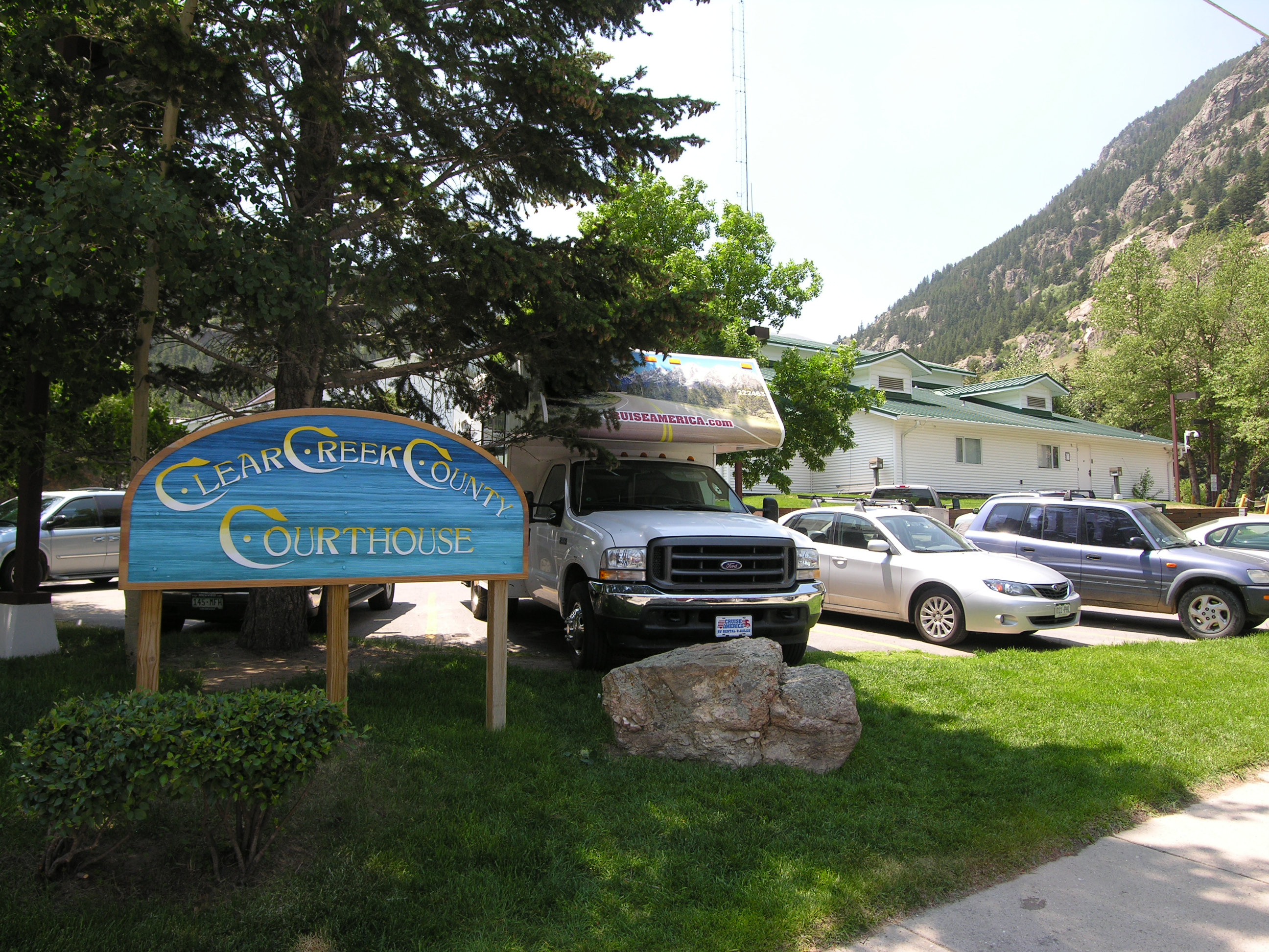
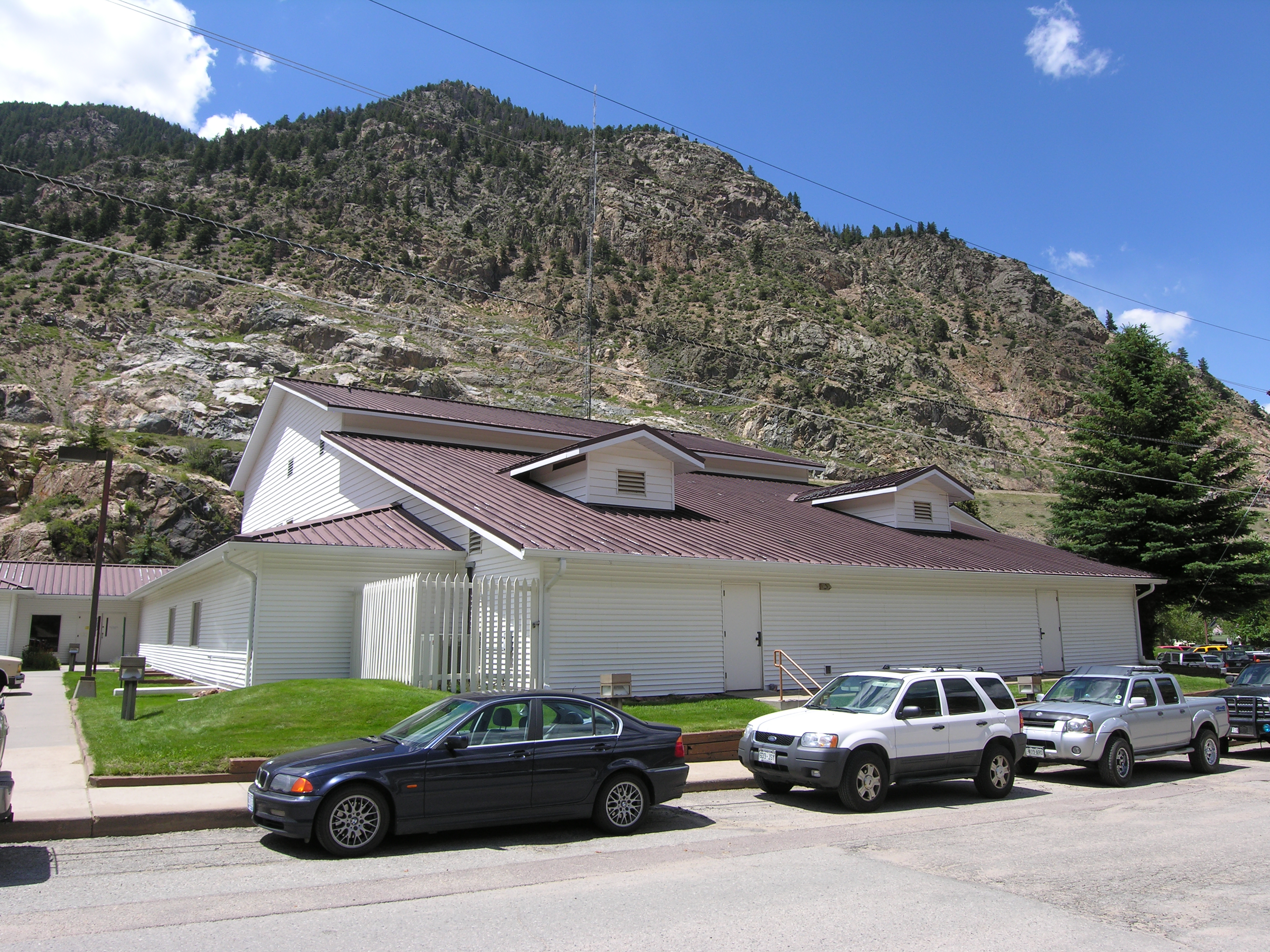
Below is the Clear Creek County Courthouse along the banks of Clear Creek.

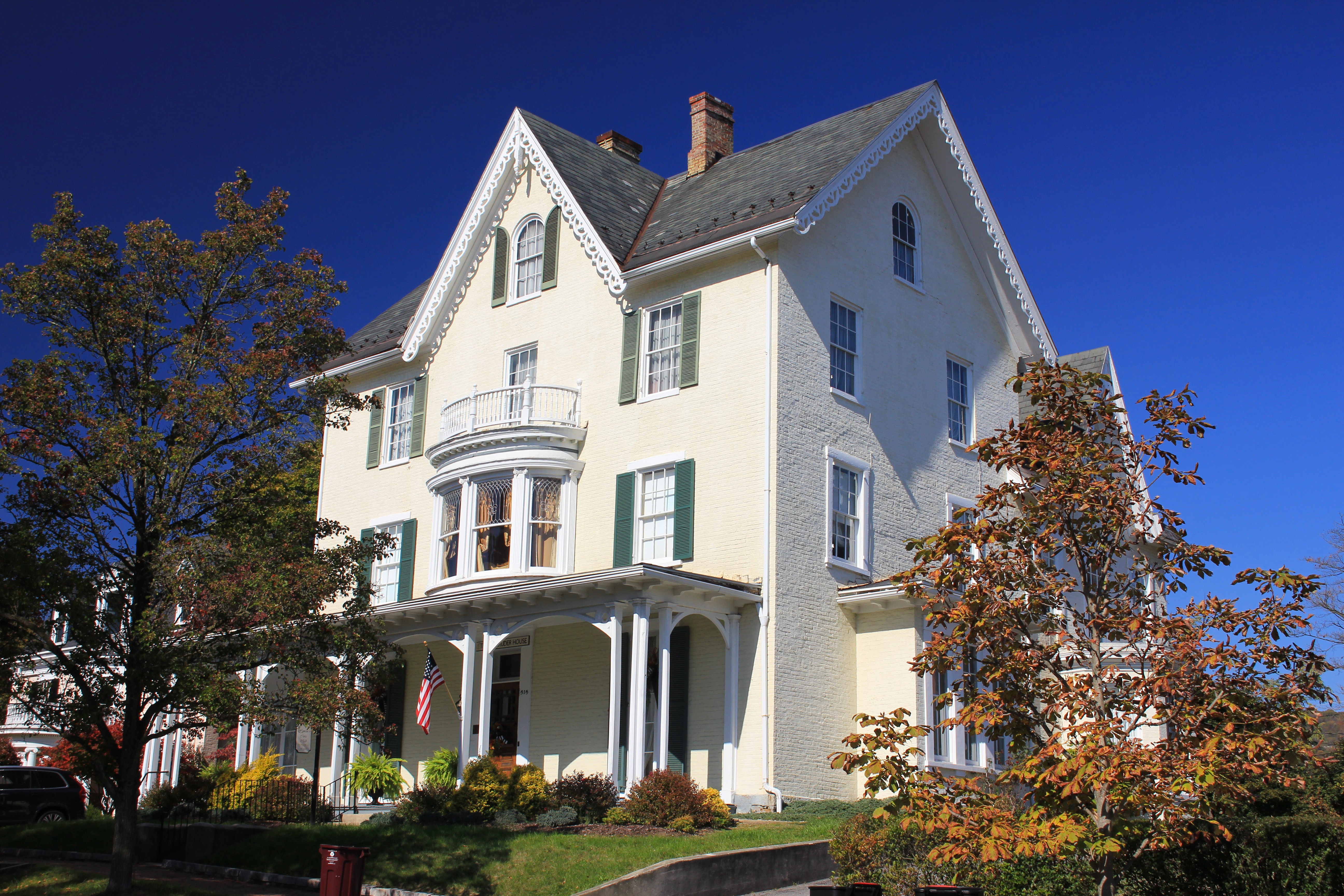
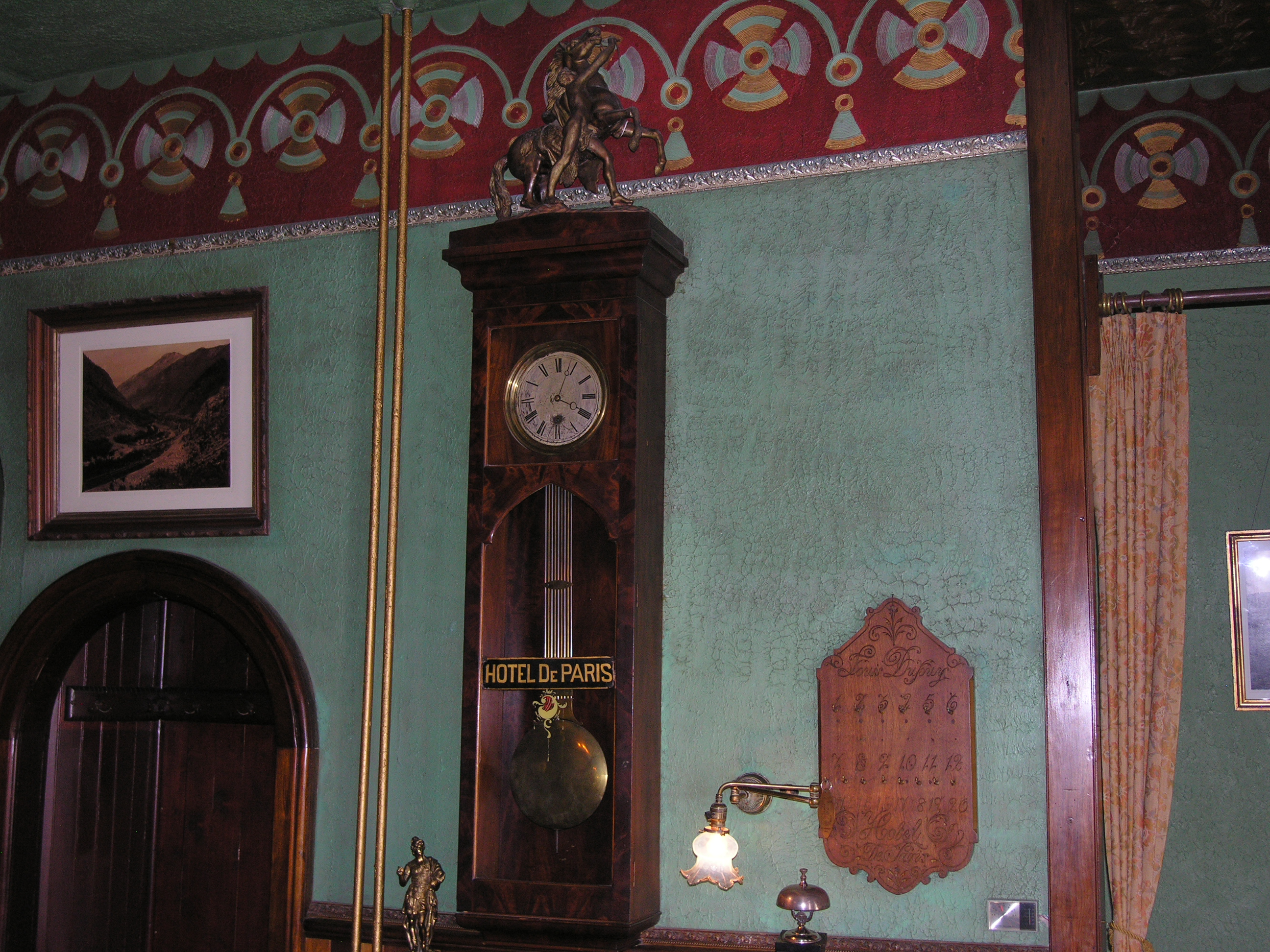
The fancy Hotel de Paris was established by one Louis Dupuy, a French immigrant and US Army deserter. Apparently, it was common for persons to enlist in the army and then desert after being transported and posted to the Western frontier. In fact, the name “Louis Dupuy” was just an adopted name of the hotel owner, meant to hide his identity.
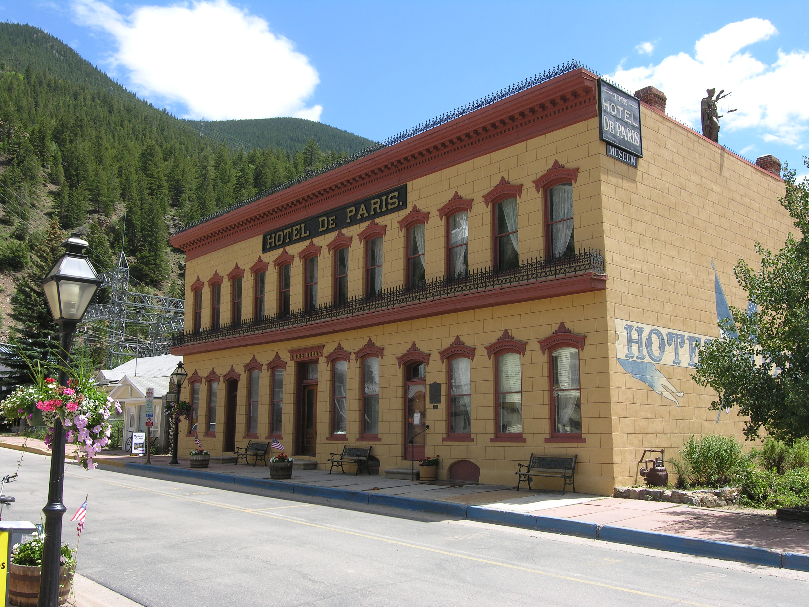

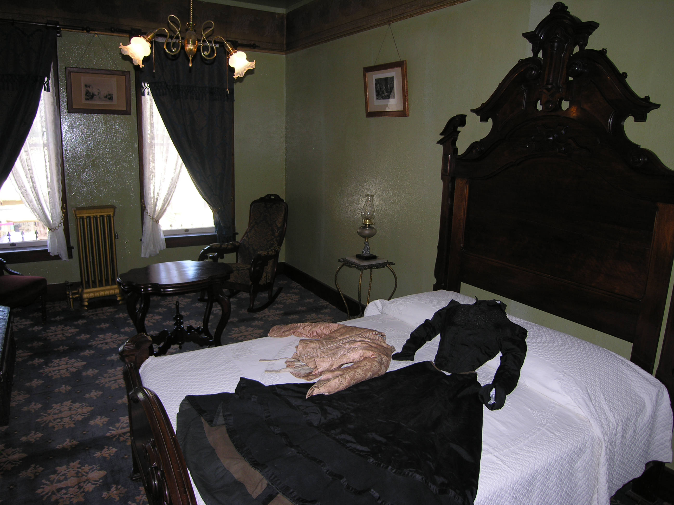
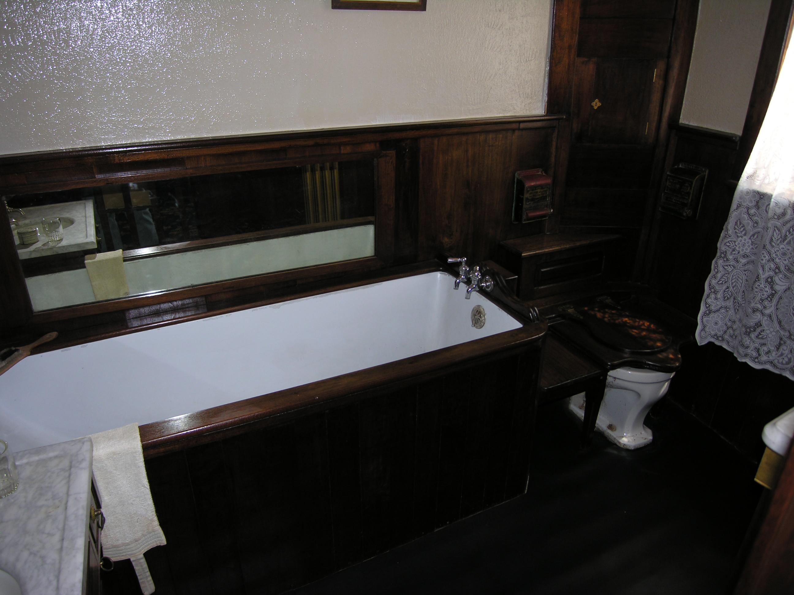
Back in the day, the Hotel de Paris offered rooms at the exorbitant rate of four dollars per night. High-end hotel rooms in Boulder or Denver at the time would cost perhaps two dollars per night. Each room had steam heat (still working today) and a small wash basin in one corner. The trim was extravagant, and the dining room offered oysters and other delicacies. Interestingly, a guest was not offered his own bed in return for his four dollars; rather, he was purchasing only a place to sleep, whether that was in a shared bed, on a cot, or on the floor.
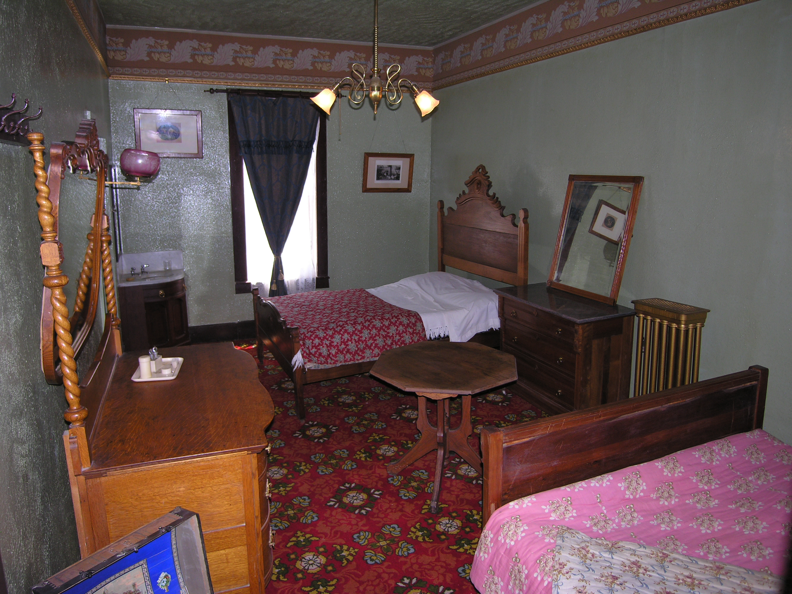
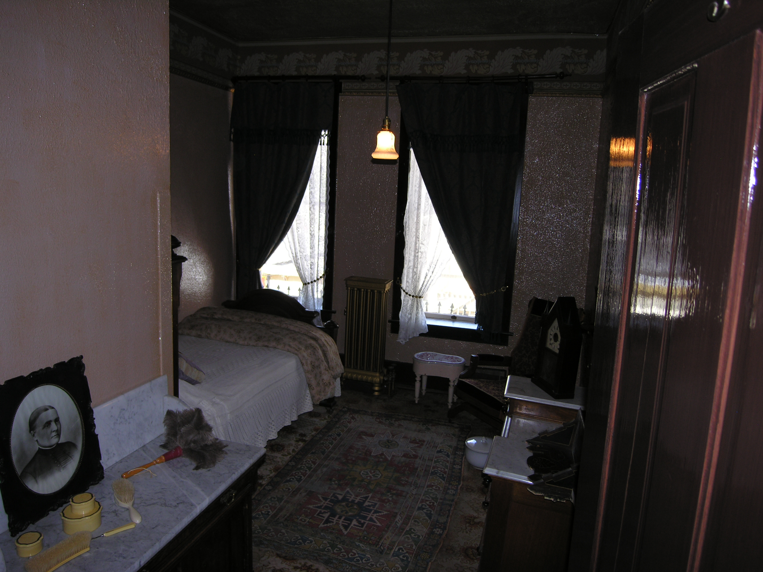

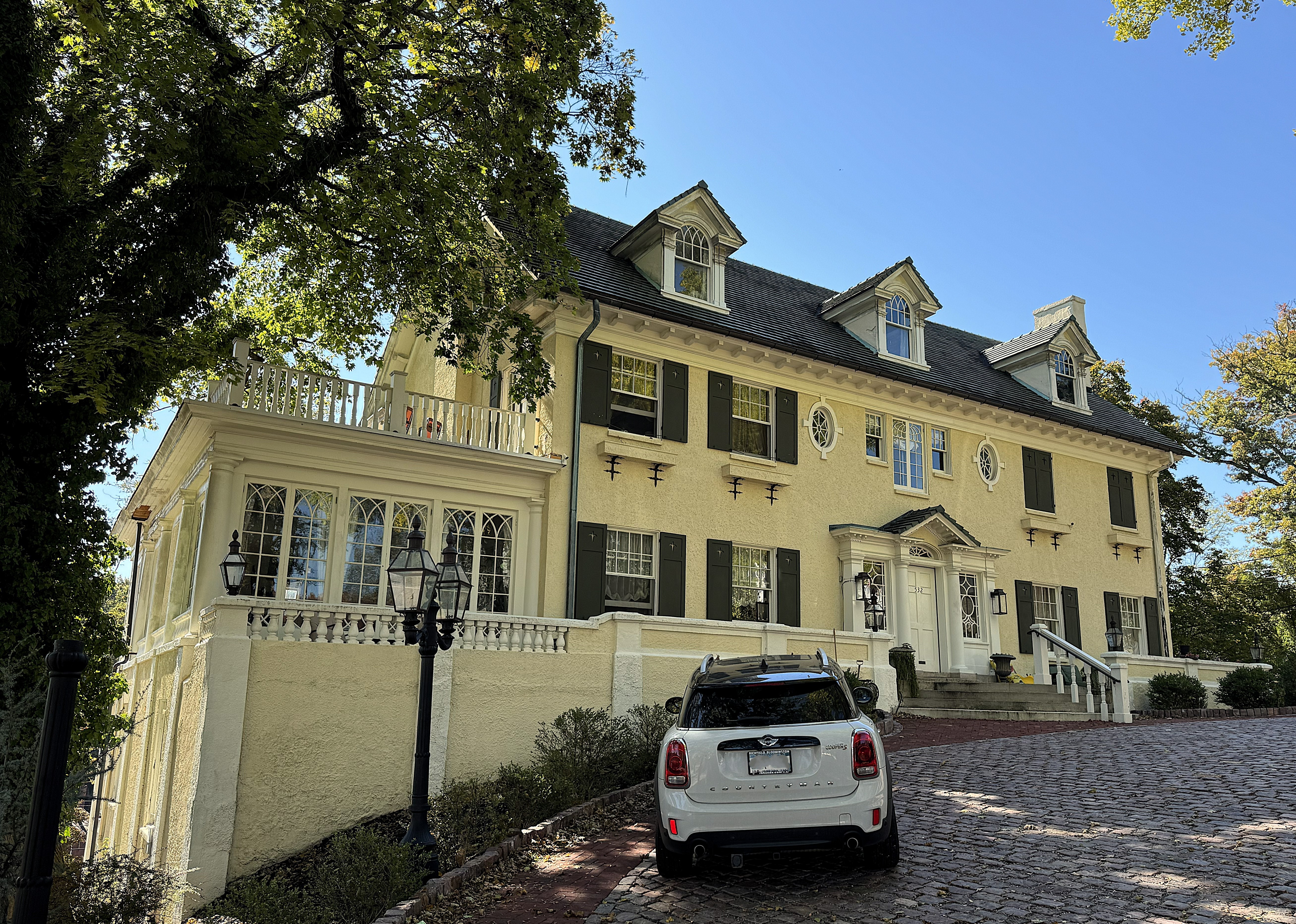
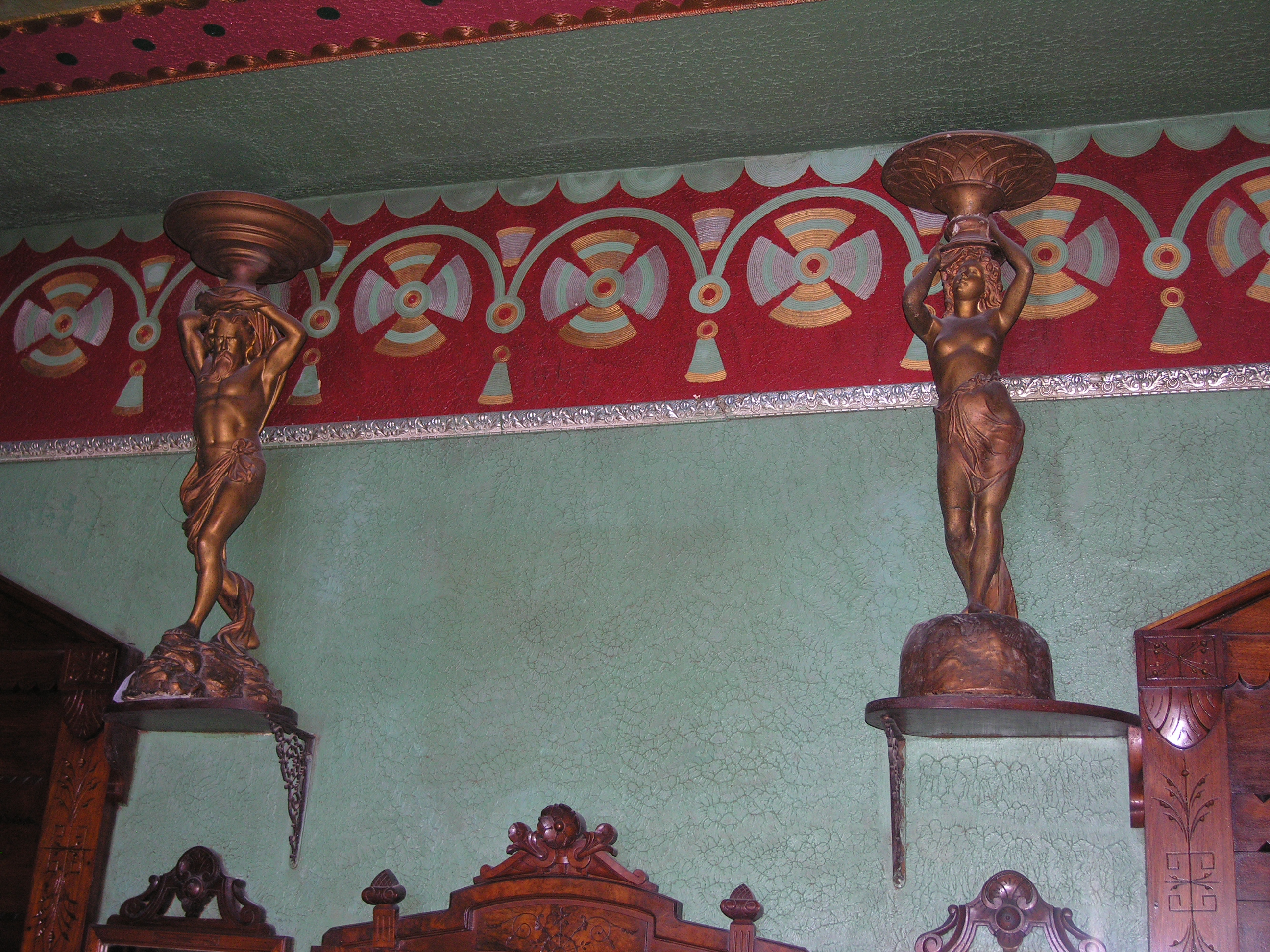
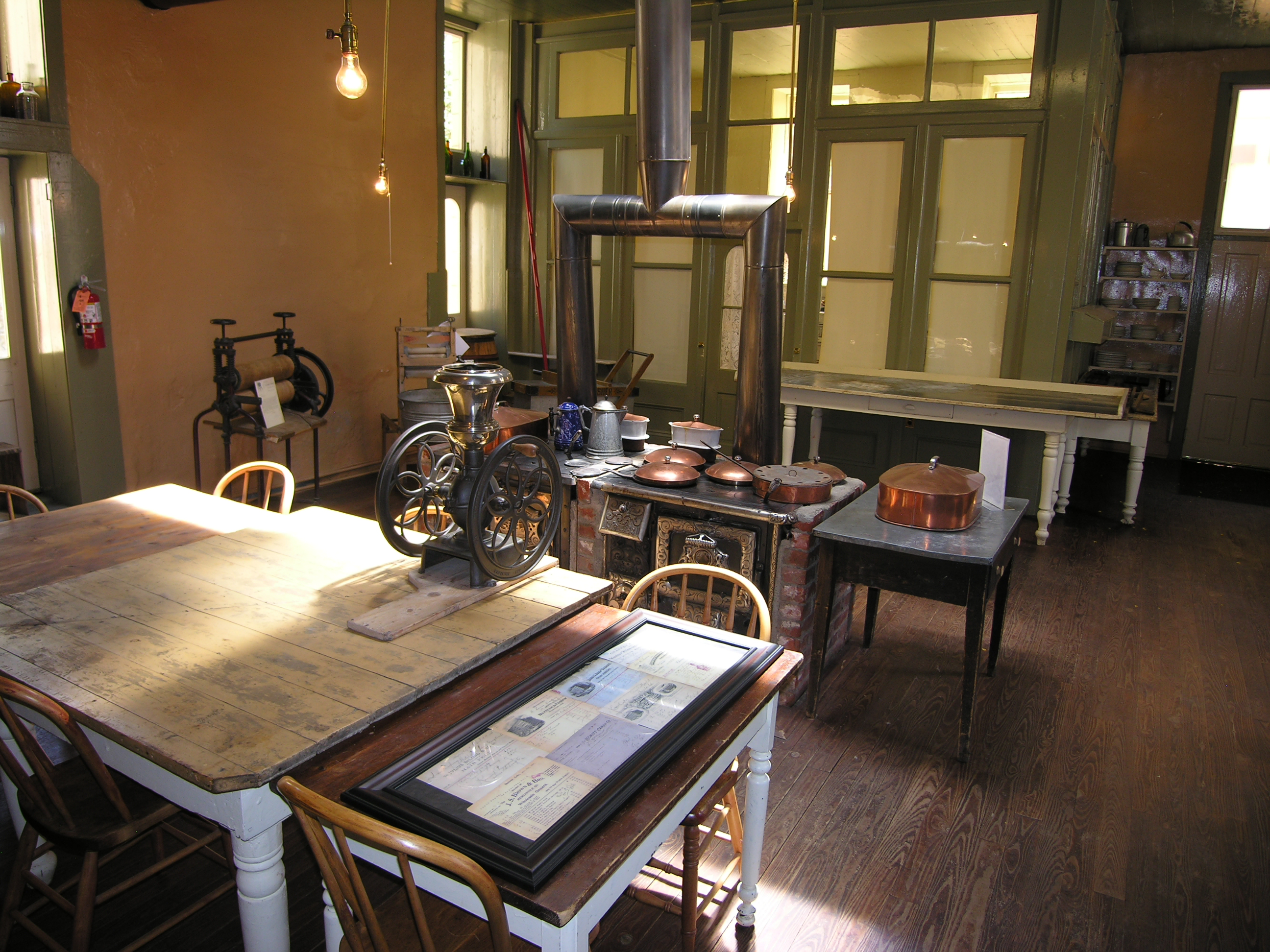
The common areas of the Hotel de Paris were quite extravagant:

Finally, here’s a view of Georgetown from the hillside above, where the mine shaft was:

Click here for a list of all TimManBlog American County Seats Series posts.
The photos in this post were taken on July 12, 2008, and are copyrighted by Tim Seibel.
Donations to TimManBlog
I post about a visit to one of America’s 3,150 county seats each month. Donations are greatly appreciated to help defray my travel costs.
$5.00
Check out the FREEDOM VOYAGES book series! These books document my road trips across the United States and include hundreds of stunning photographs. Each of the four books in the series is available on Amazon and Barnes & Noble. This includes my most recent release, FREEDOM VOYAGES Volume 4: Christmastime in Texas!

Earlier volumes in the FREEDOM VOYAGES series are also available:
Vol. 1: North-Central North Dakota
Vol. 2: Go West! From the Loneliest Road in America to California’s Gold Country
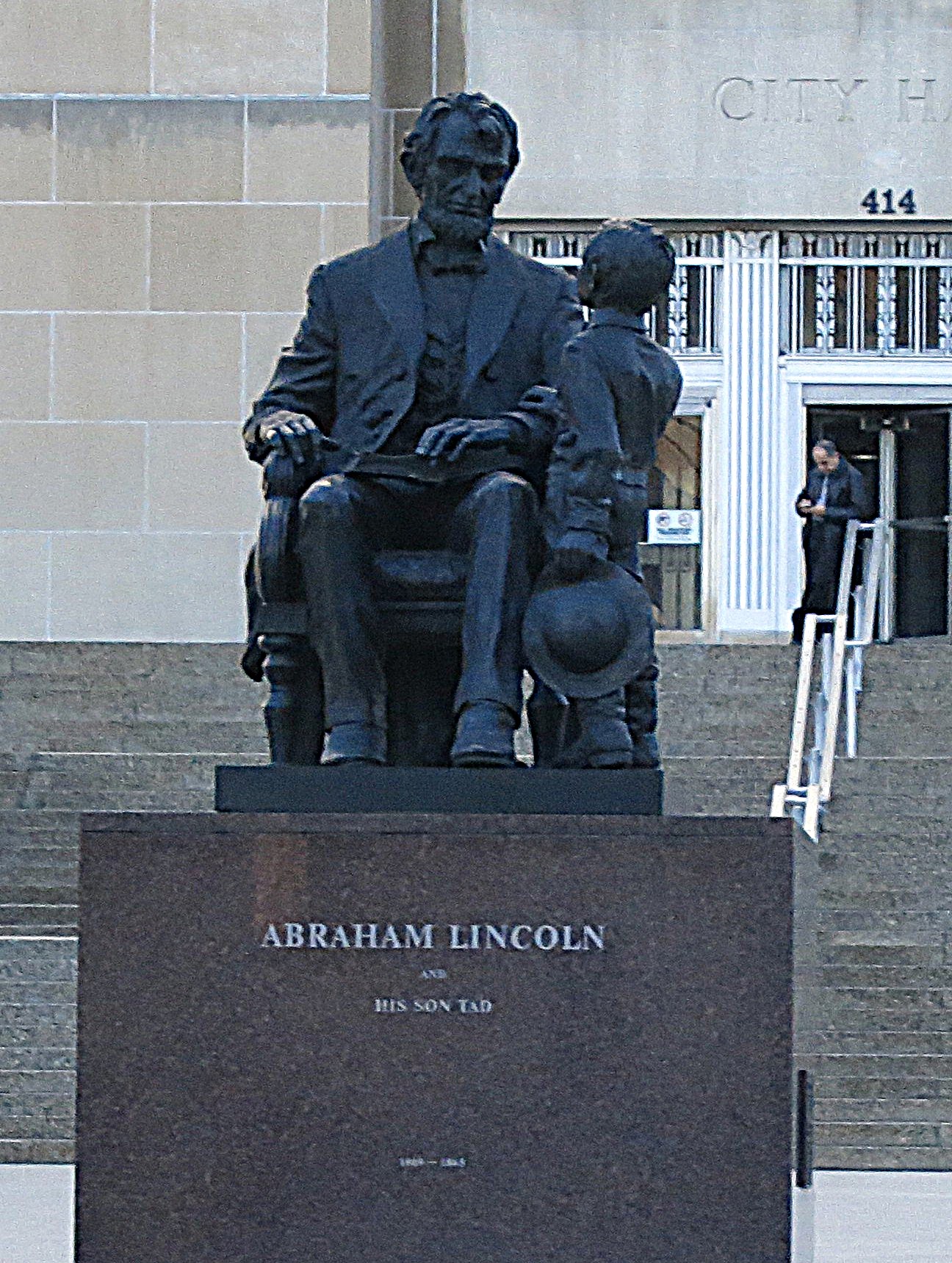
Vol. 3: A Proud, Dignified People in Lincoln’s Illinois


All FREEDOM VOYAGES books are on sale at Amazon.com and Barnes & Noble