Emmett, Idaho: Gem of Plenty
April 25, 2021
(photos and memories of April 28, 2014)
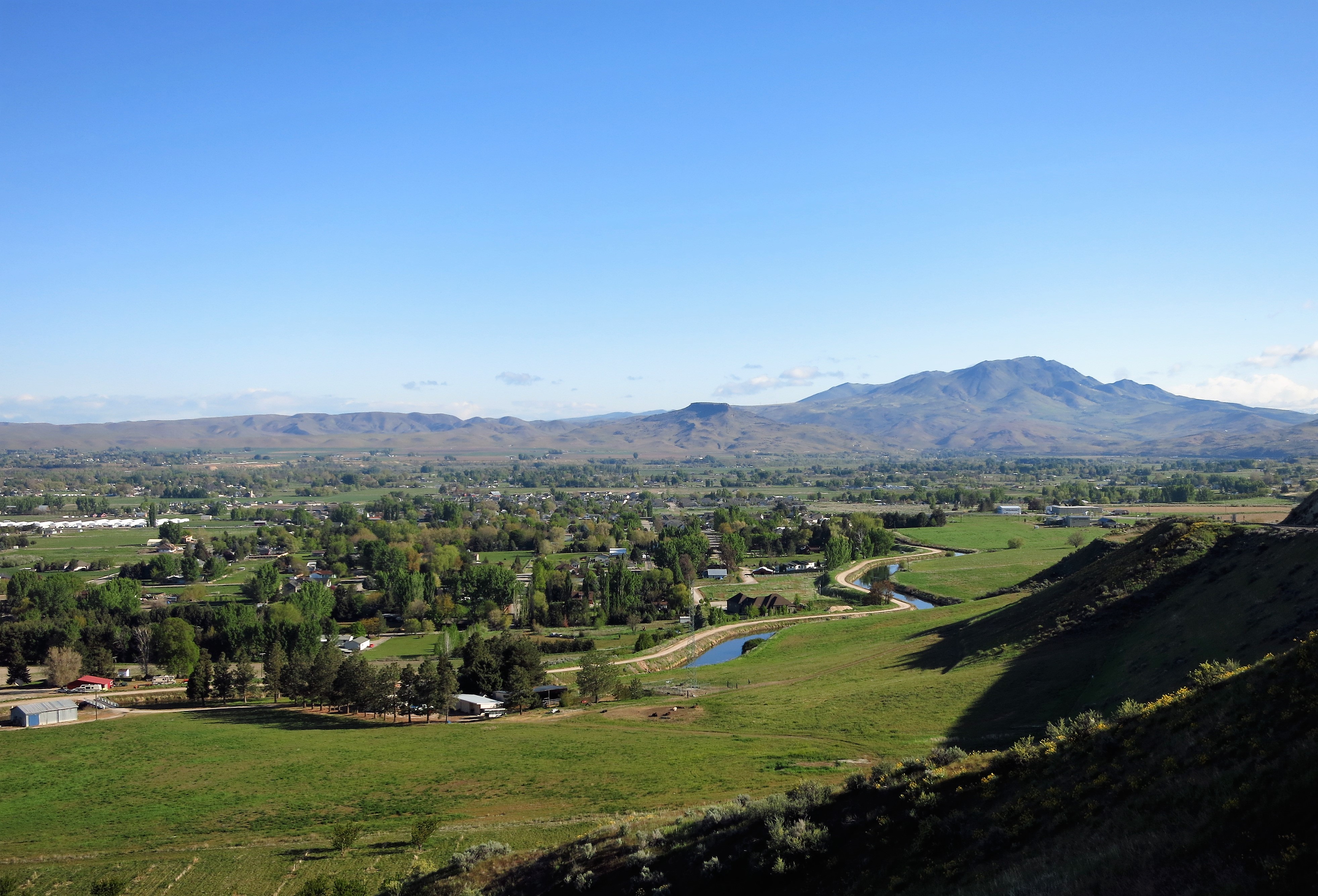
Some years ago, I journeyed from Boise into Gem County, Idaho, on a clear, cool Monday morning in April. Many more years before, some of the Oregon Trail pioneers came this way, crossing from the Boise River valley to the Payette River valley over Freezeout Hill.
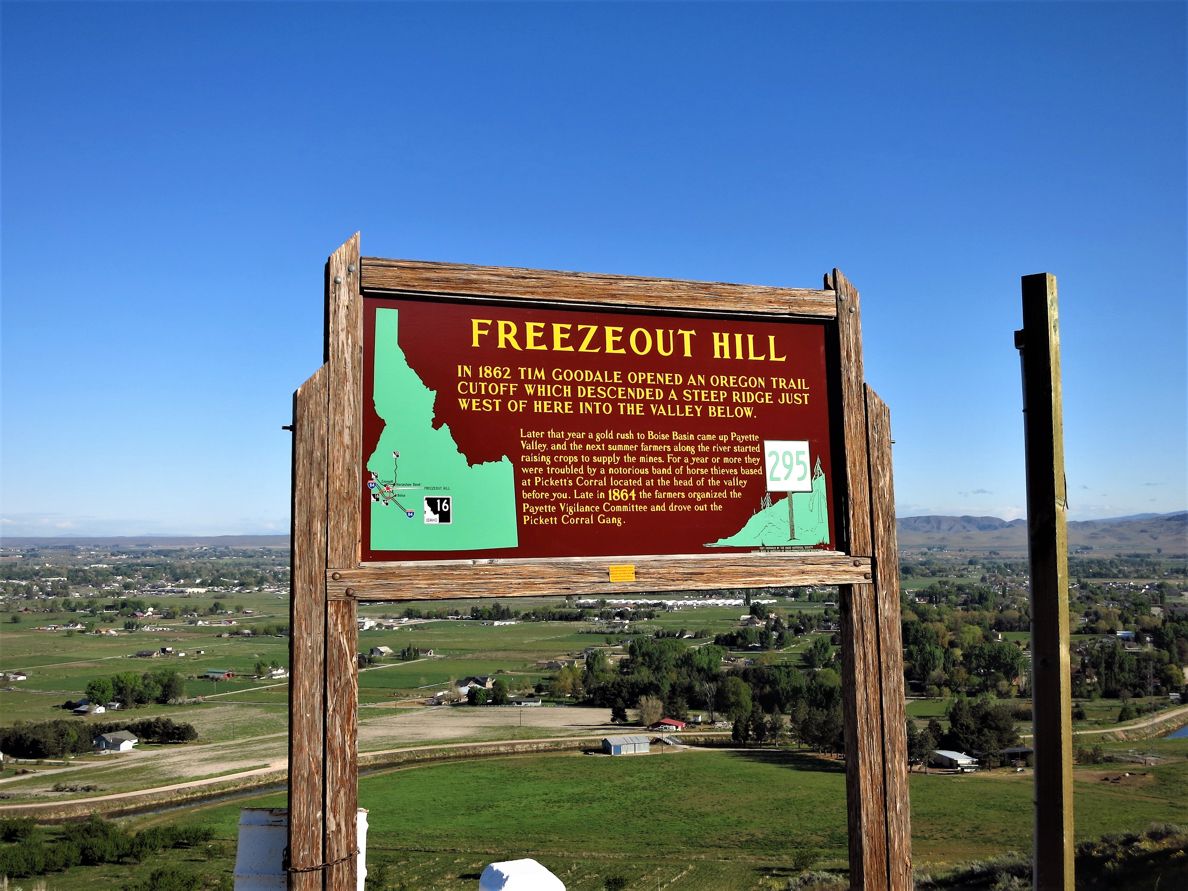
When the travelers saw the well-watered valley of the Payette River below, many decided to forego the long road to Oregon and stay here. Permanent settlement began in the 1860s.
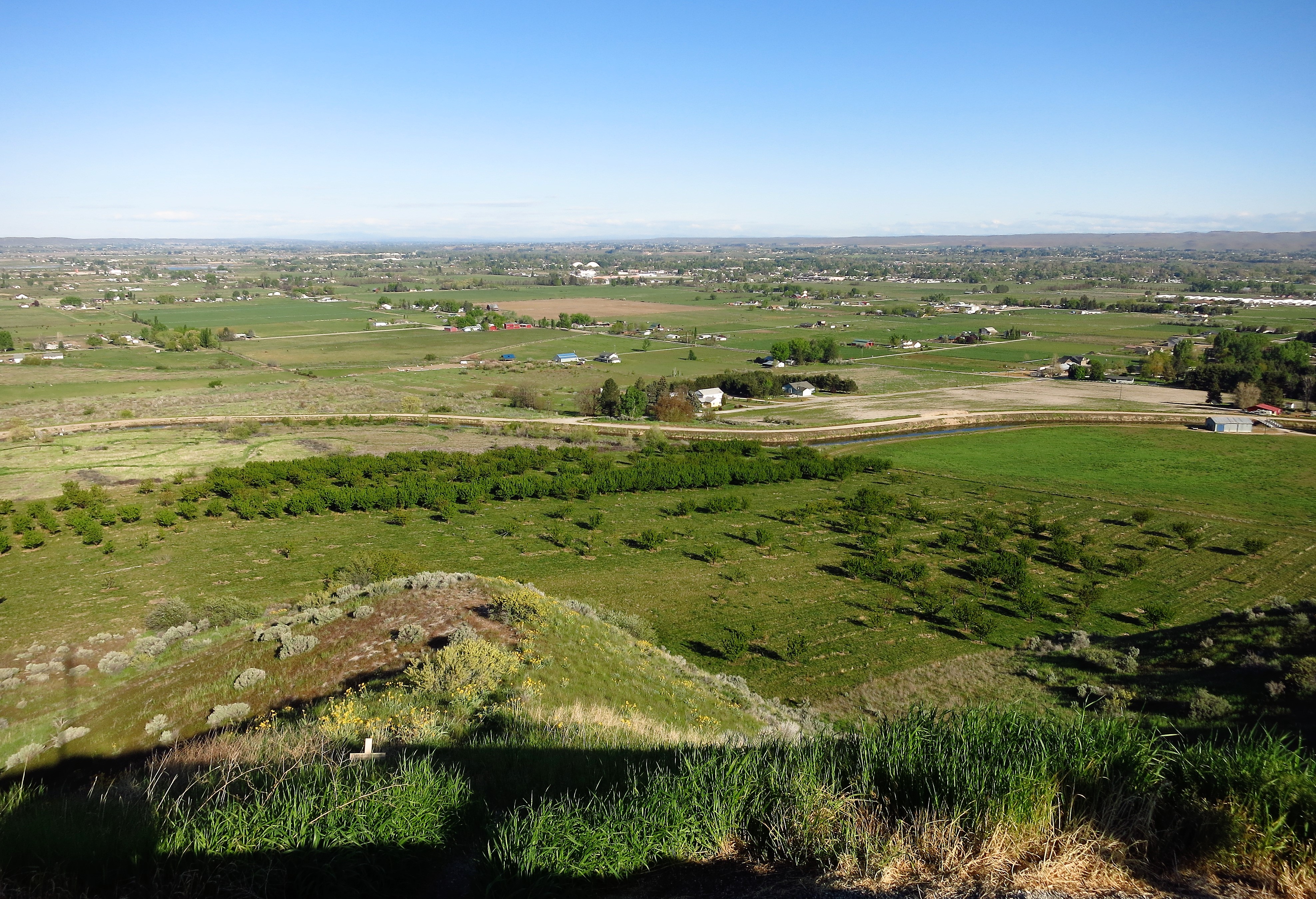
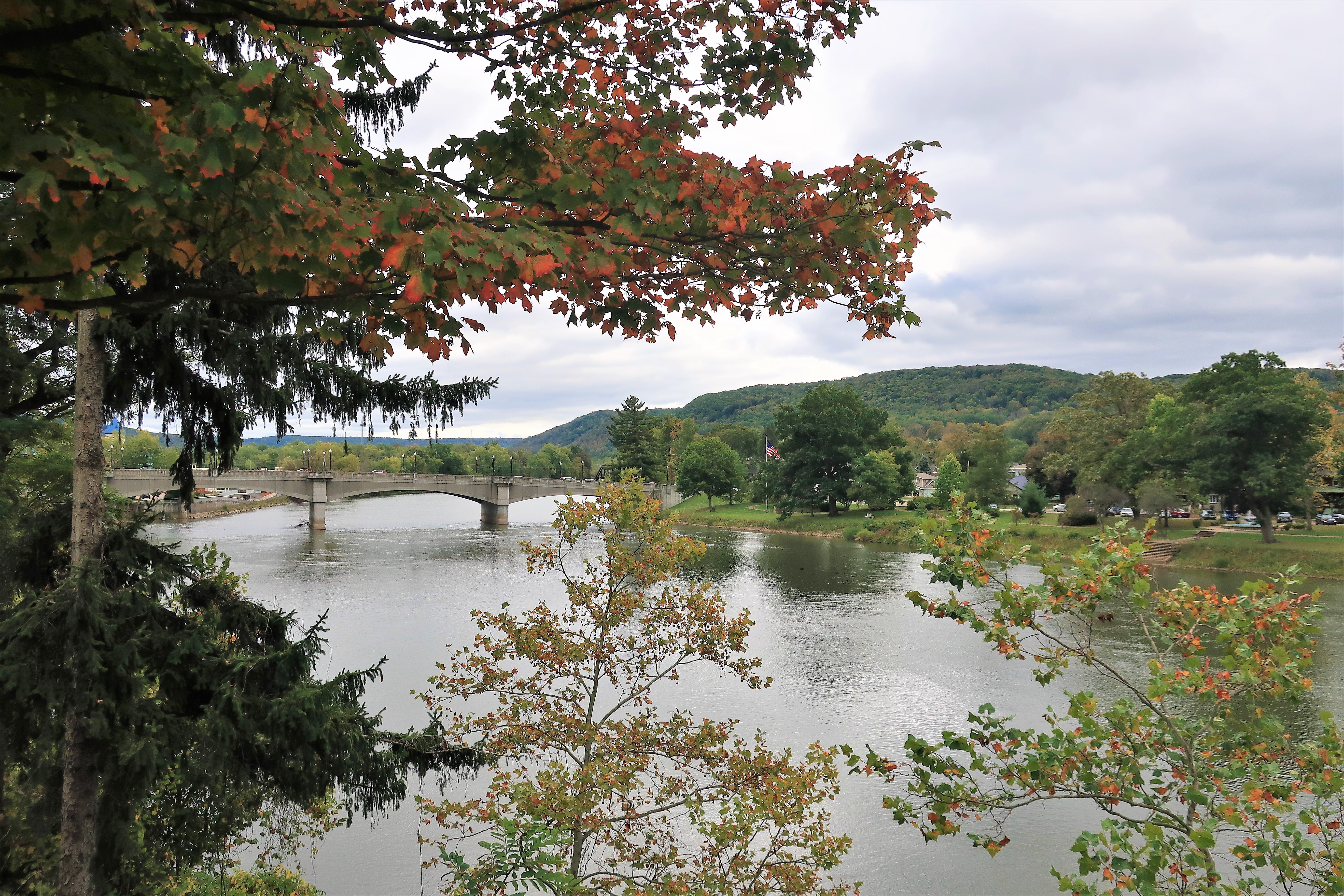
The valley below the Freezeout summit glows green like an emerald gem on this sunny April morning. A little river winds through the valley between the distinct hillsides which enclose it. Hills are green with speckles of yellow wildflowers, but down below farmers’ orchards bloom with anticipation of a new growing season.
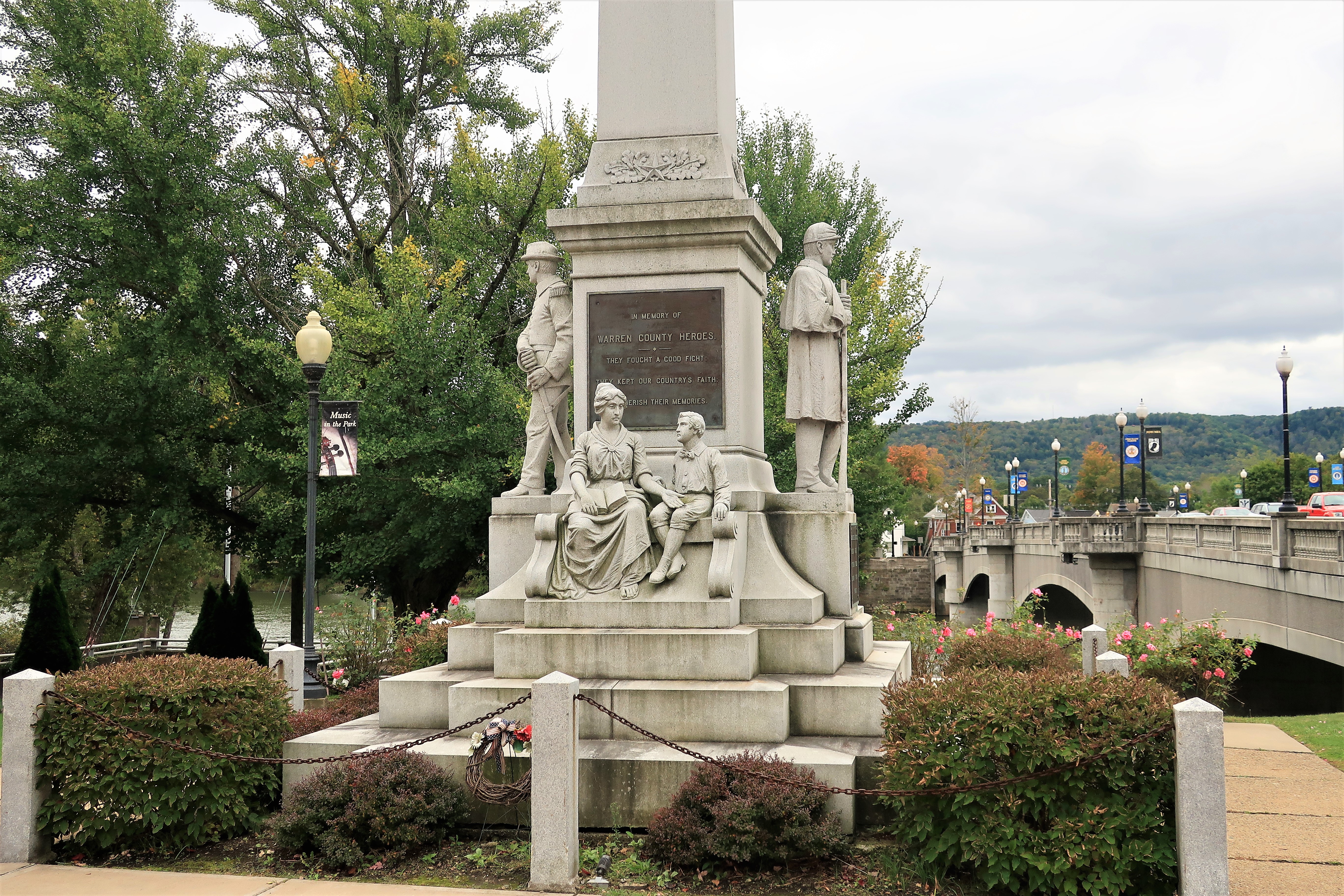
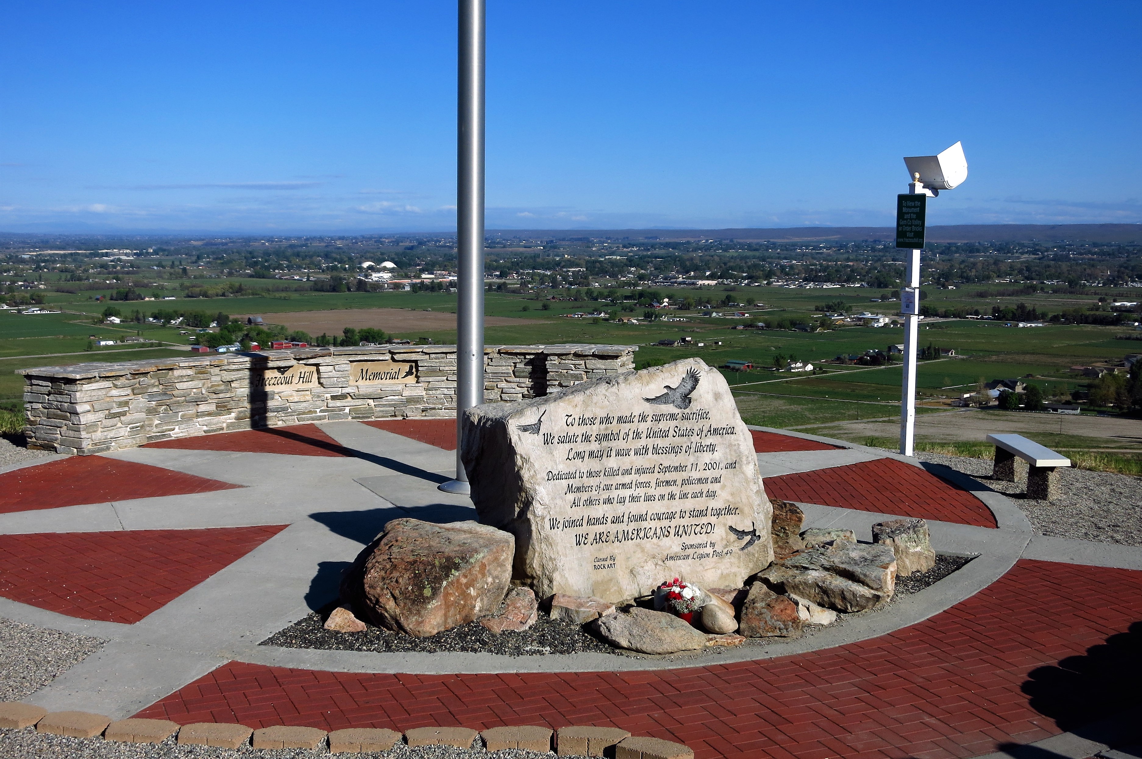
A minor gold rush followed from 1894 to 1910 until the ore ran out. In the 21st Century, local citizens used the panoramic perch provided by Freezeout Hill for a memorial to the lives lost on September 11, 2001.
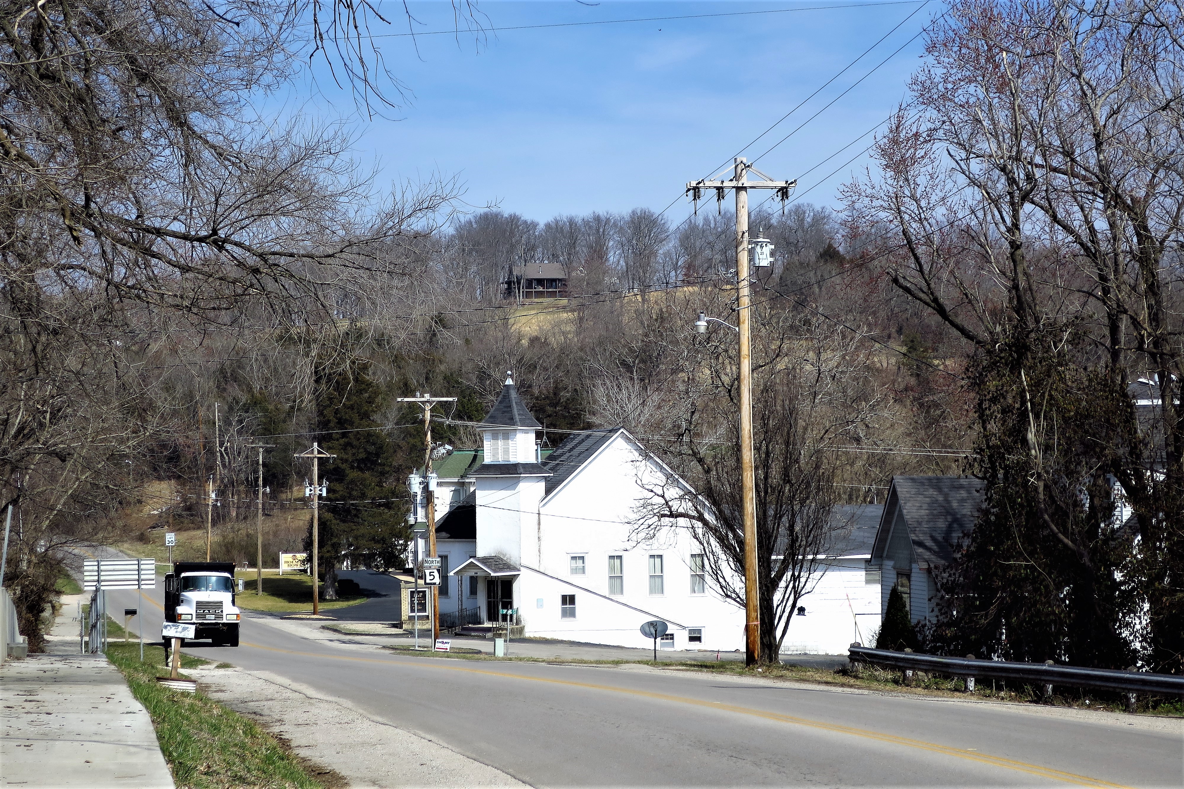
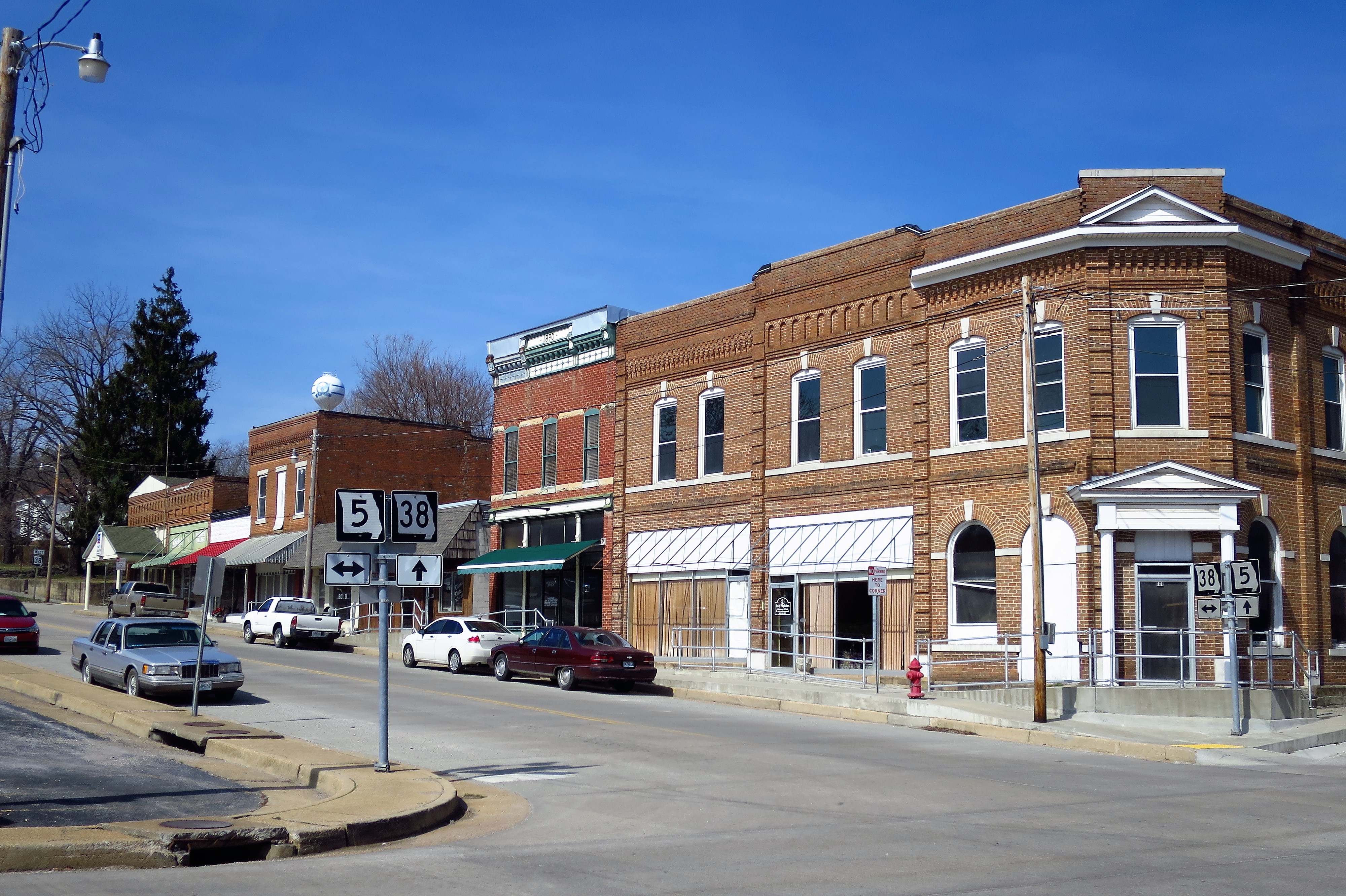
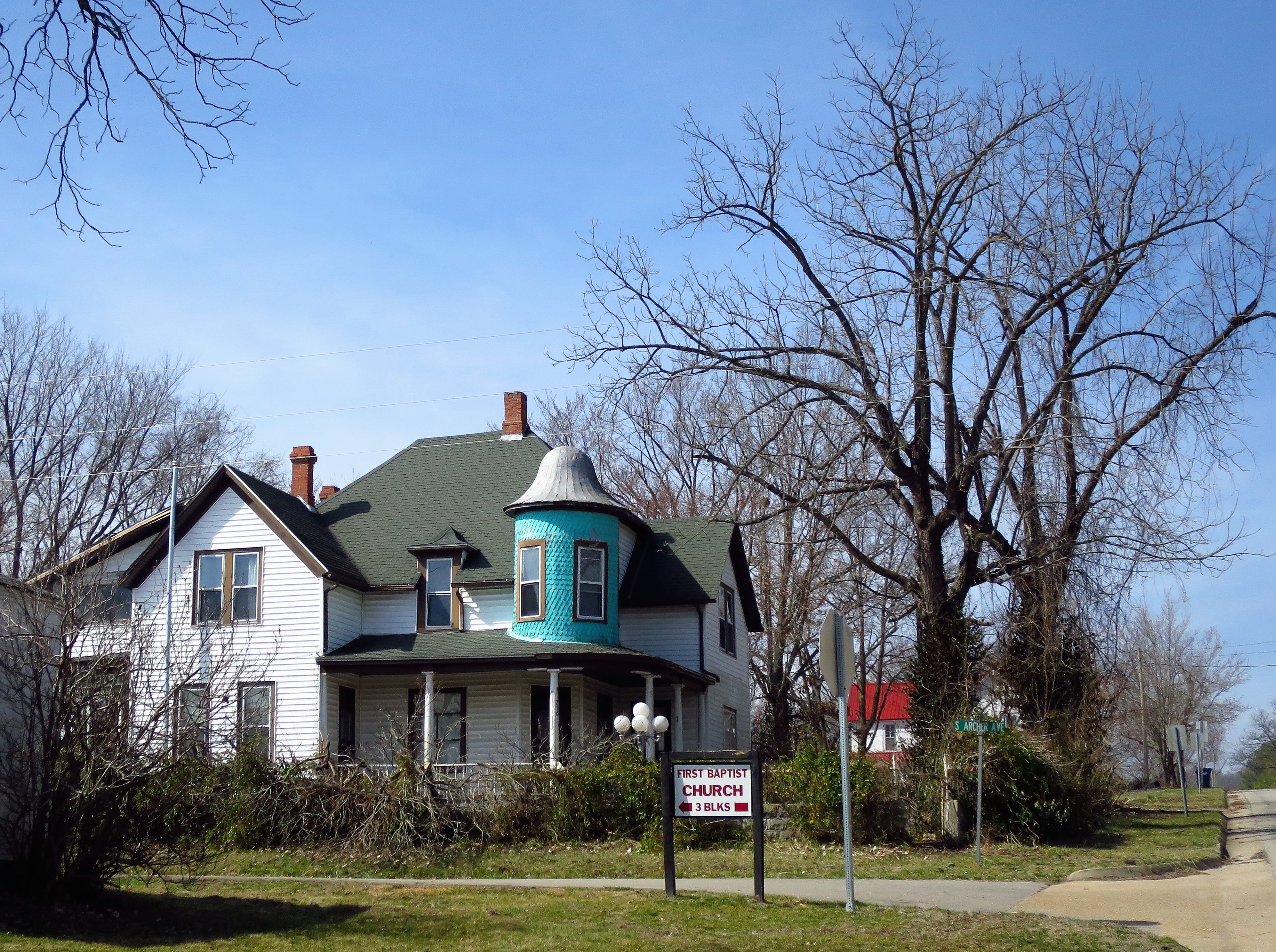
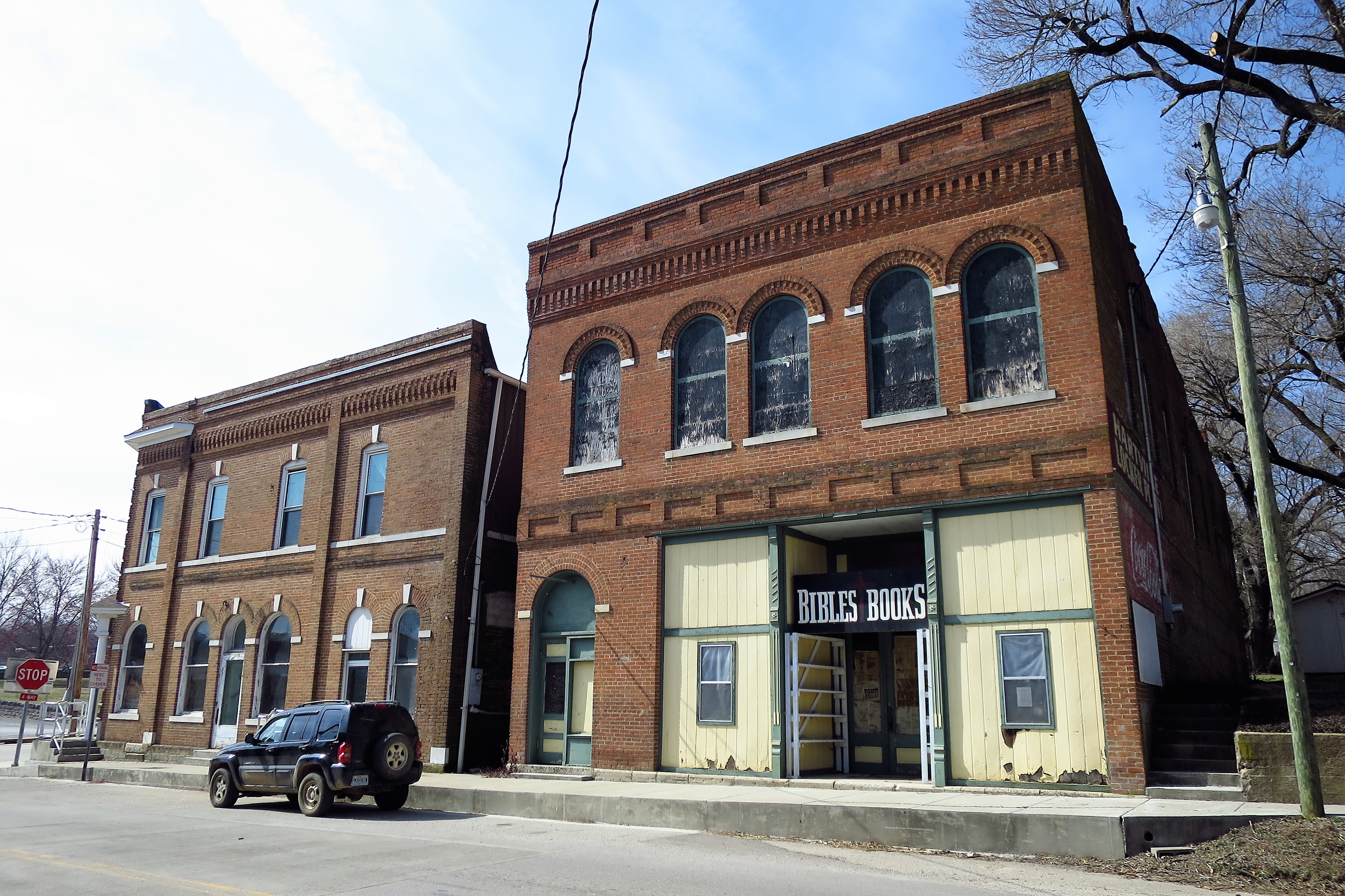
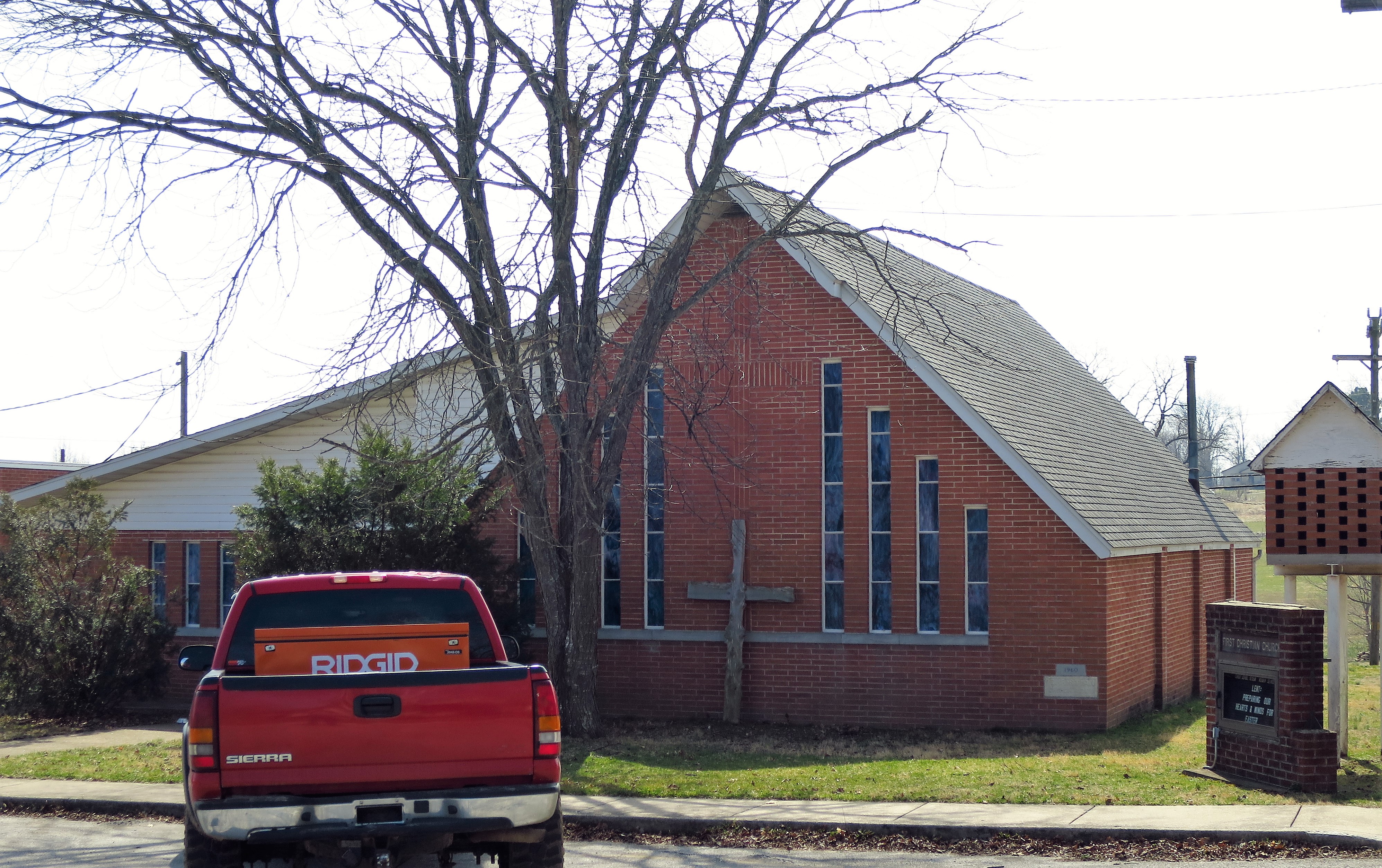
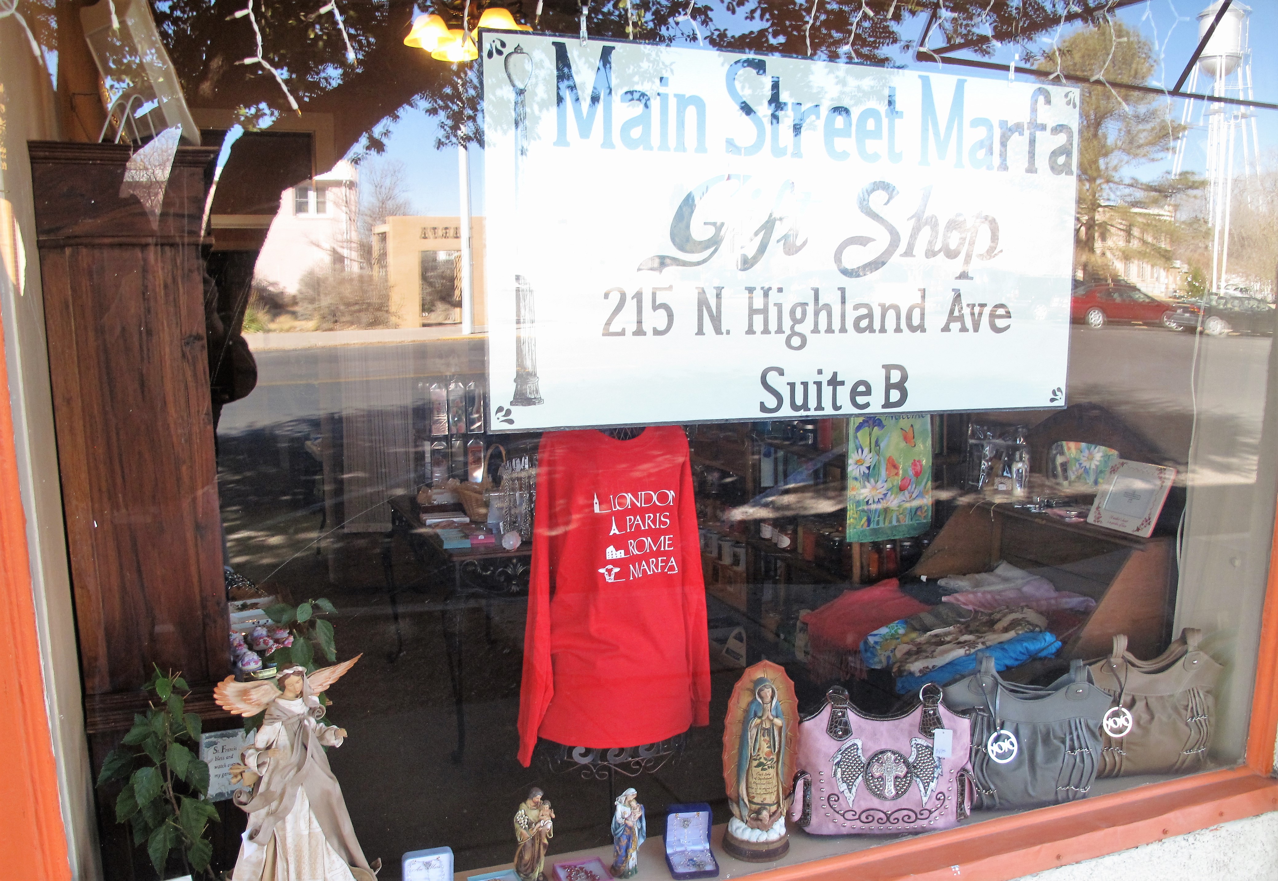
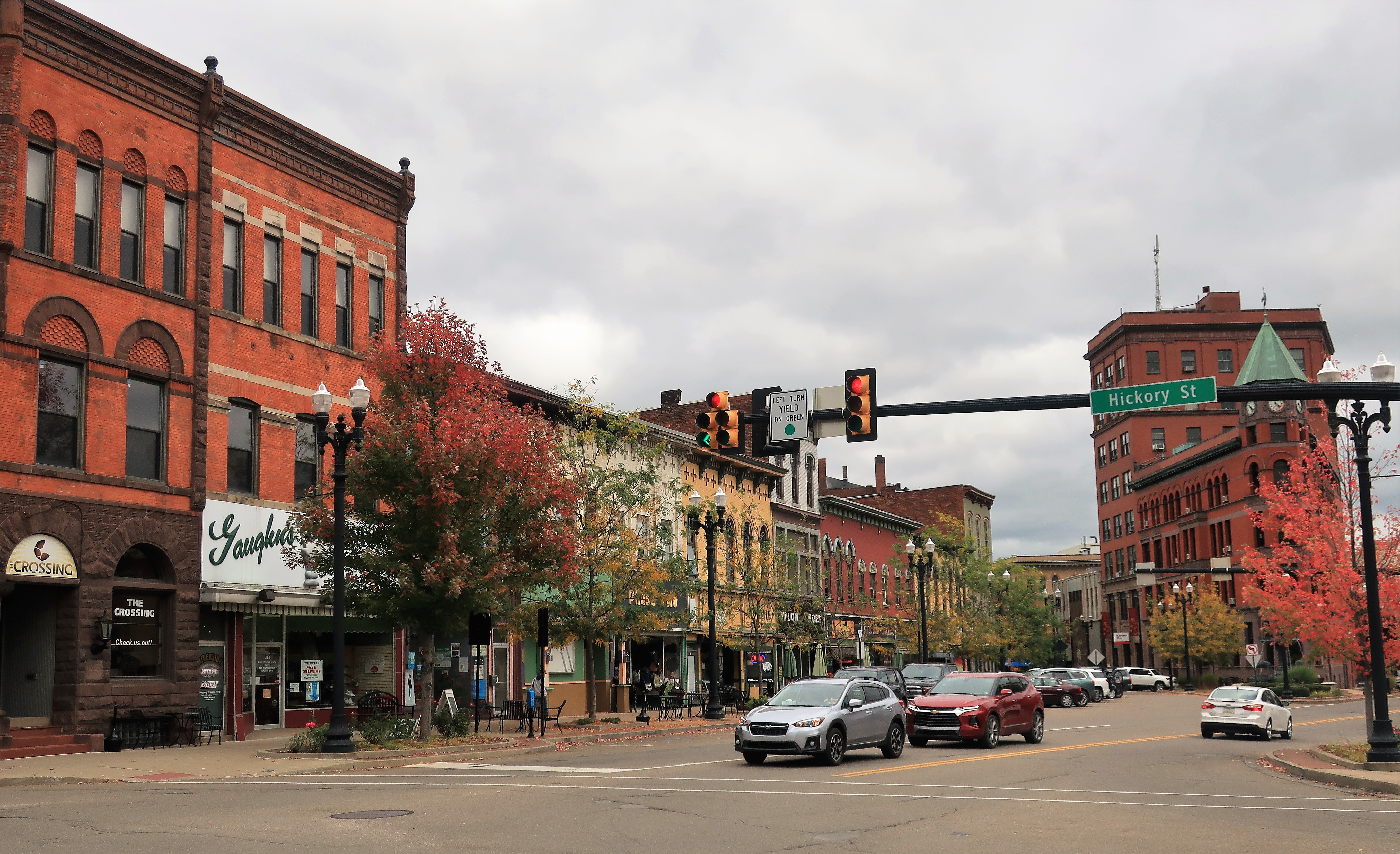
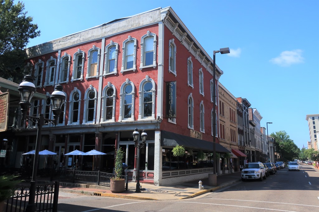
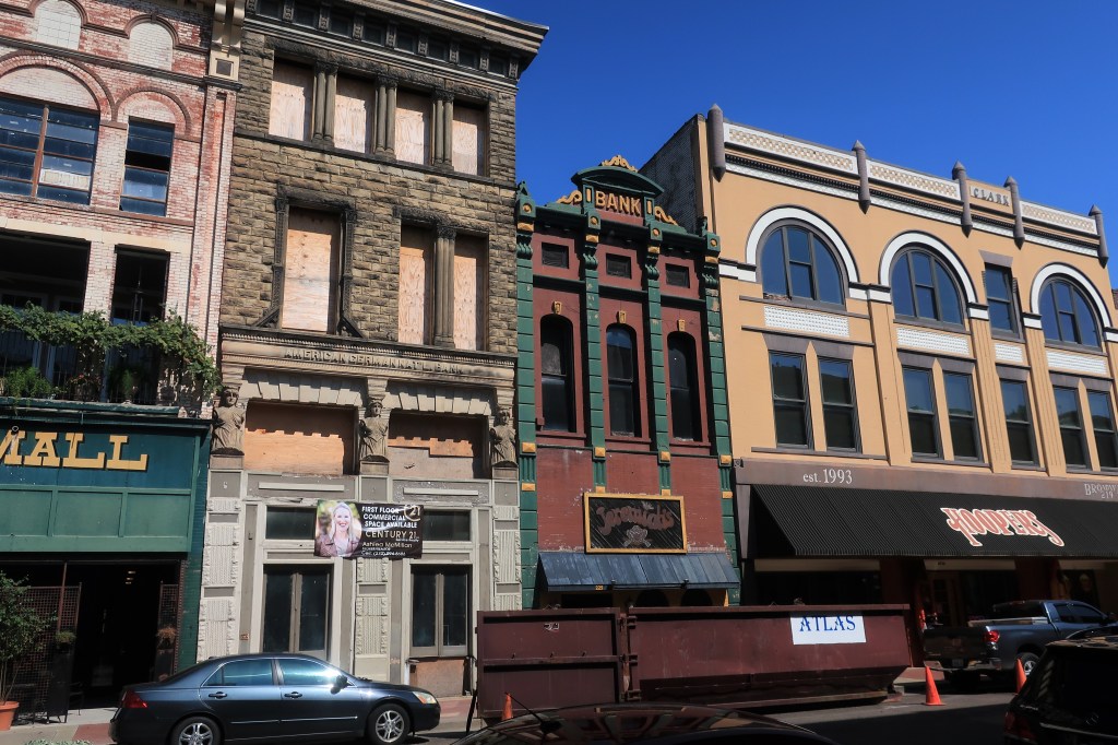
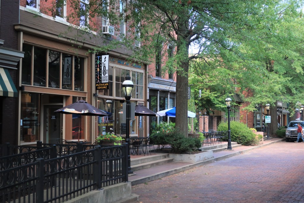
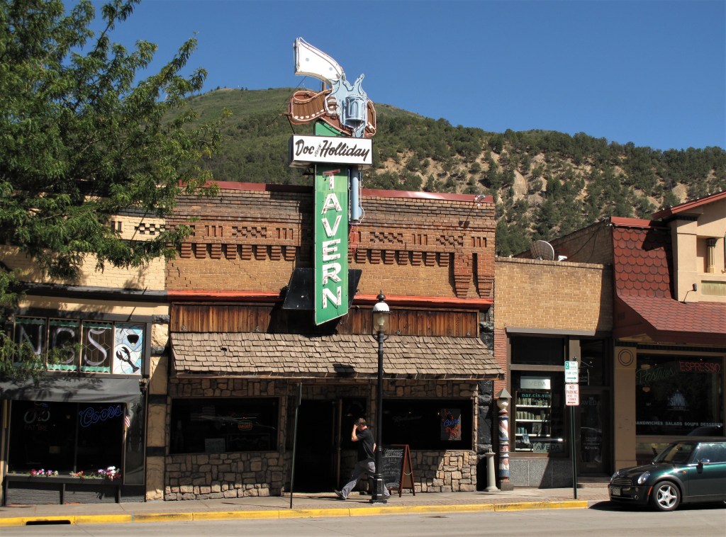
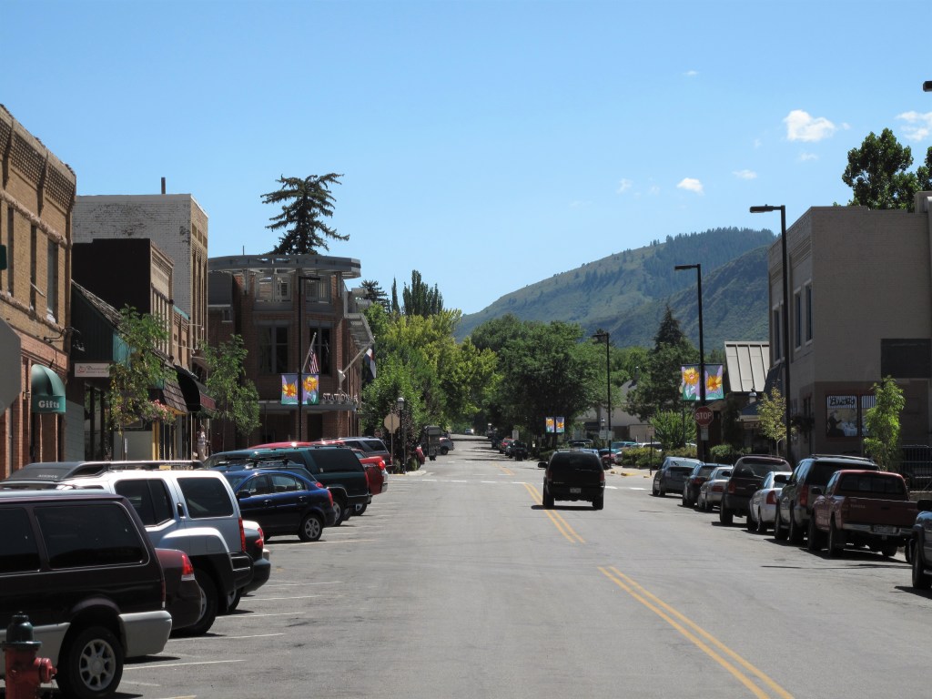
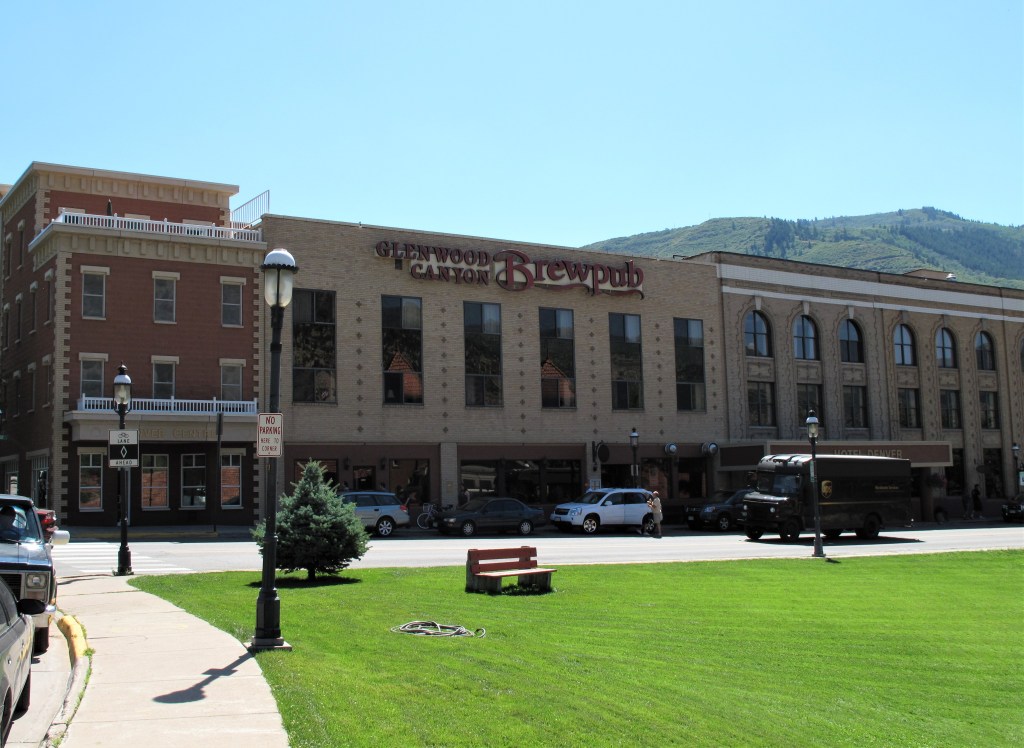
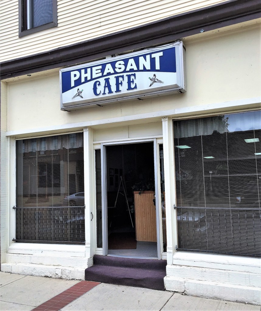
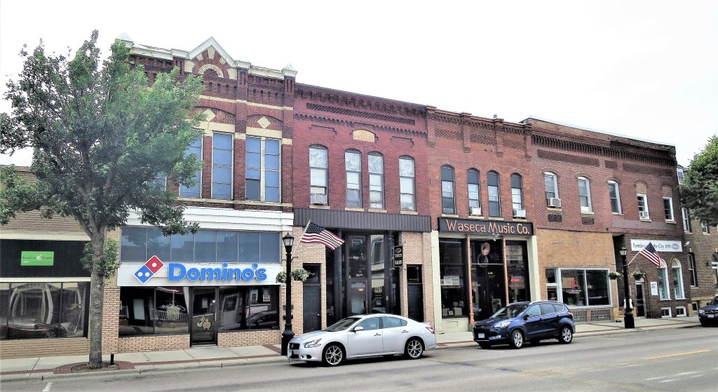
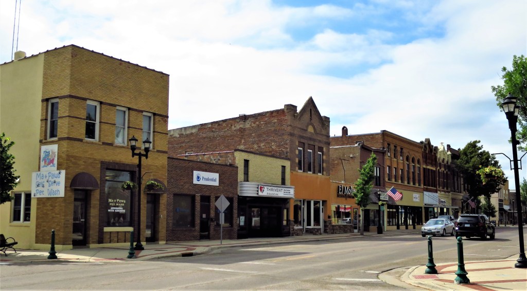
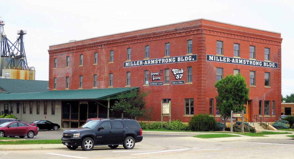
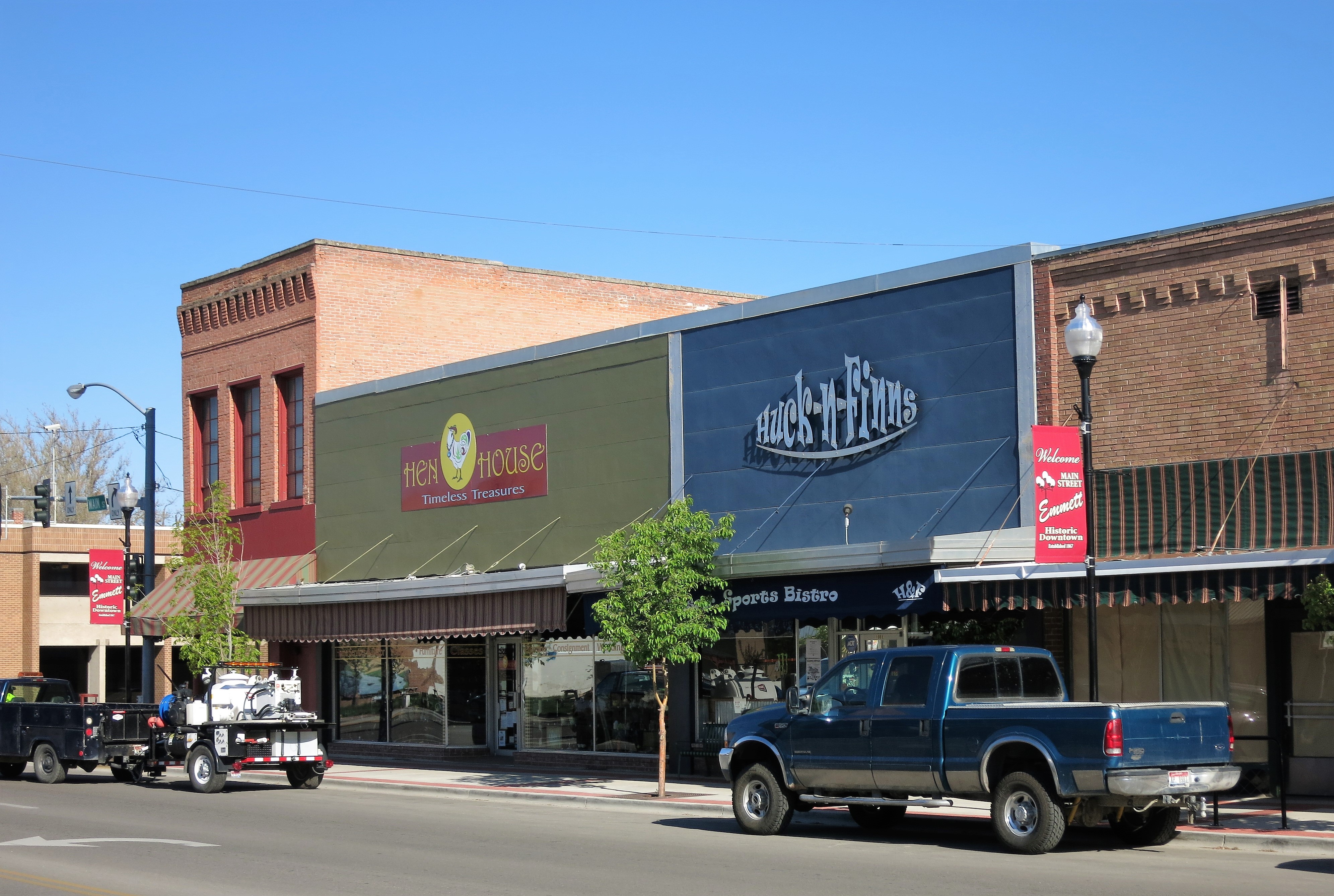
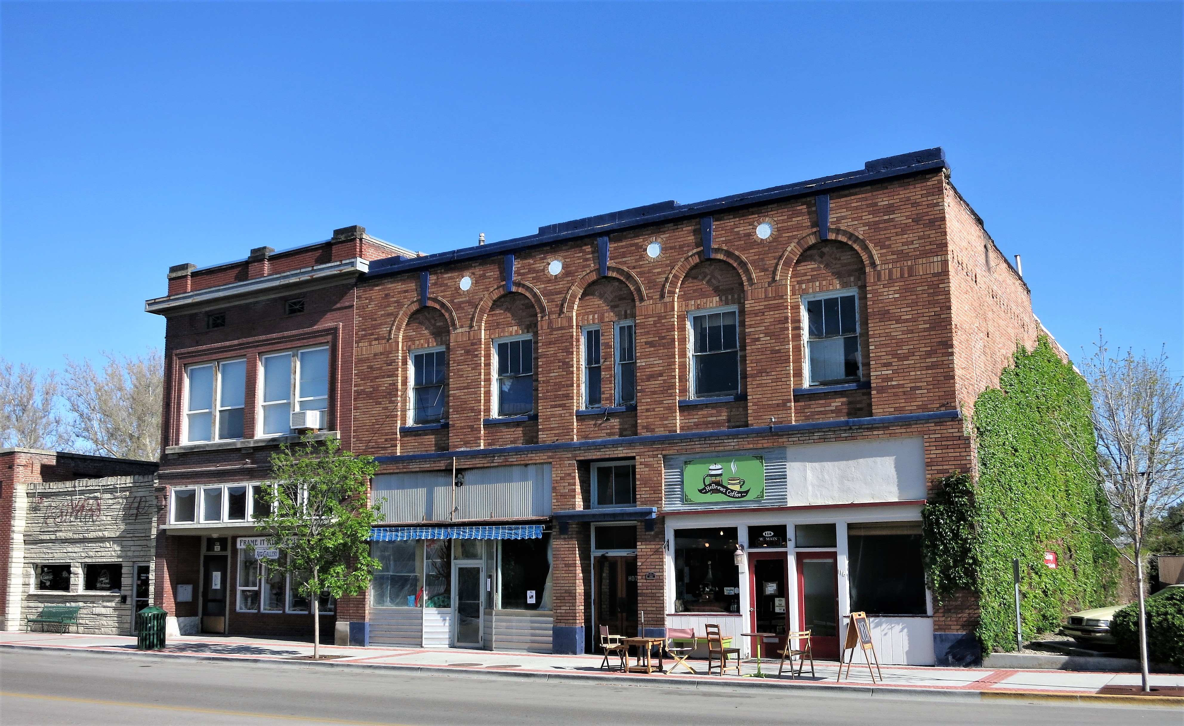
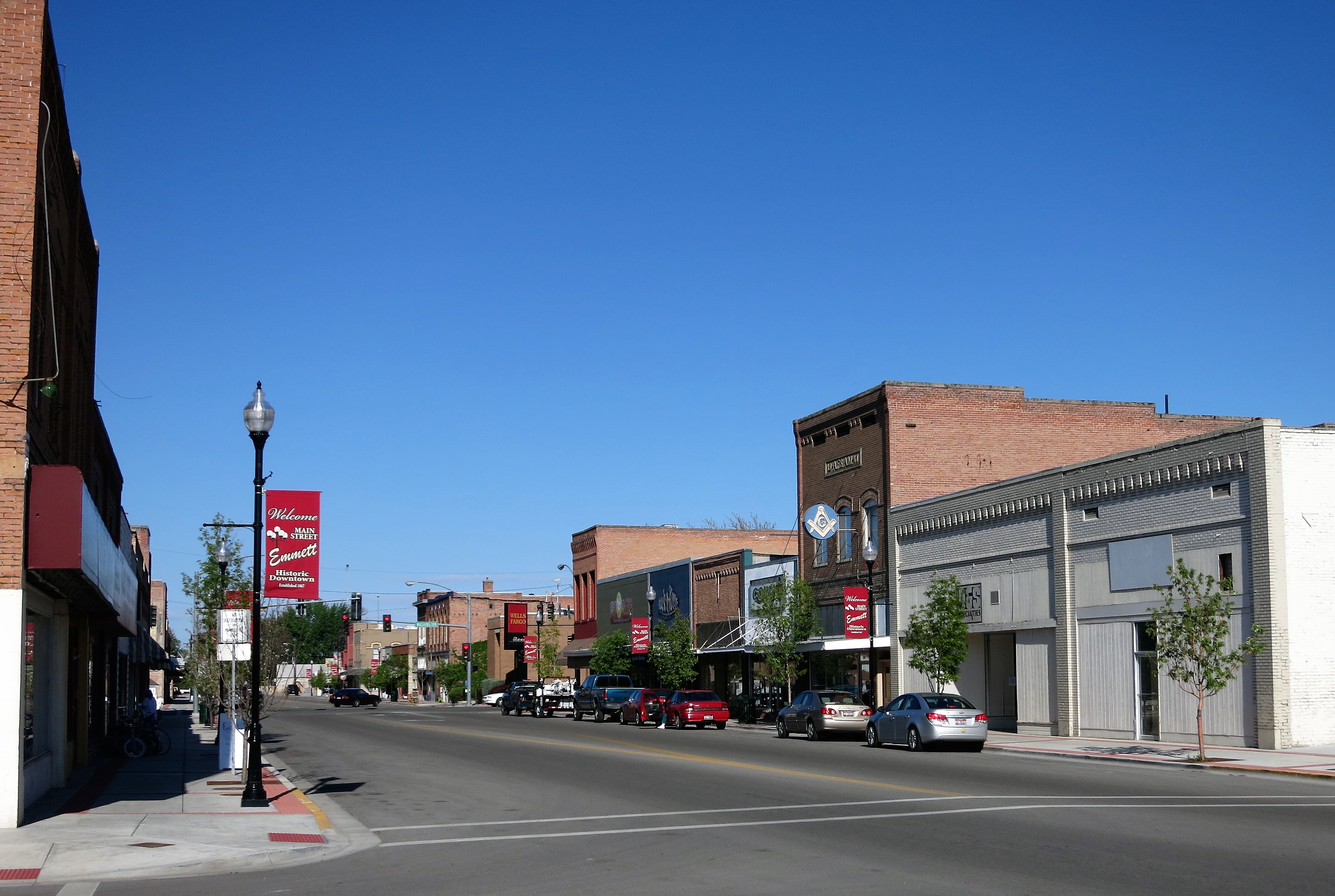
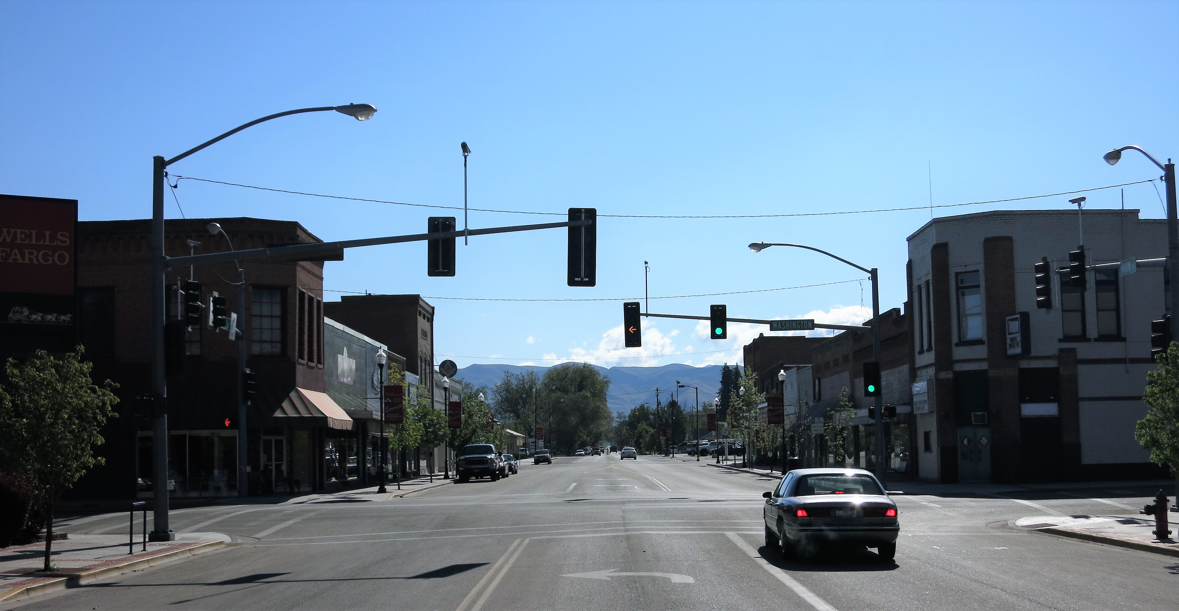
Down in the valley below, the little town of Emmett (population 6,500; Wikipedia entry here) provides both basic services and a small-town home. The Hen House Home & Gift can be found on Yelp here.
HeBrews Coffee — “The Hub of Emmett.” Link here.
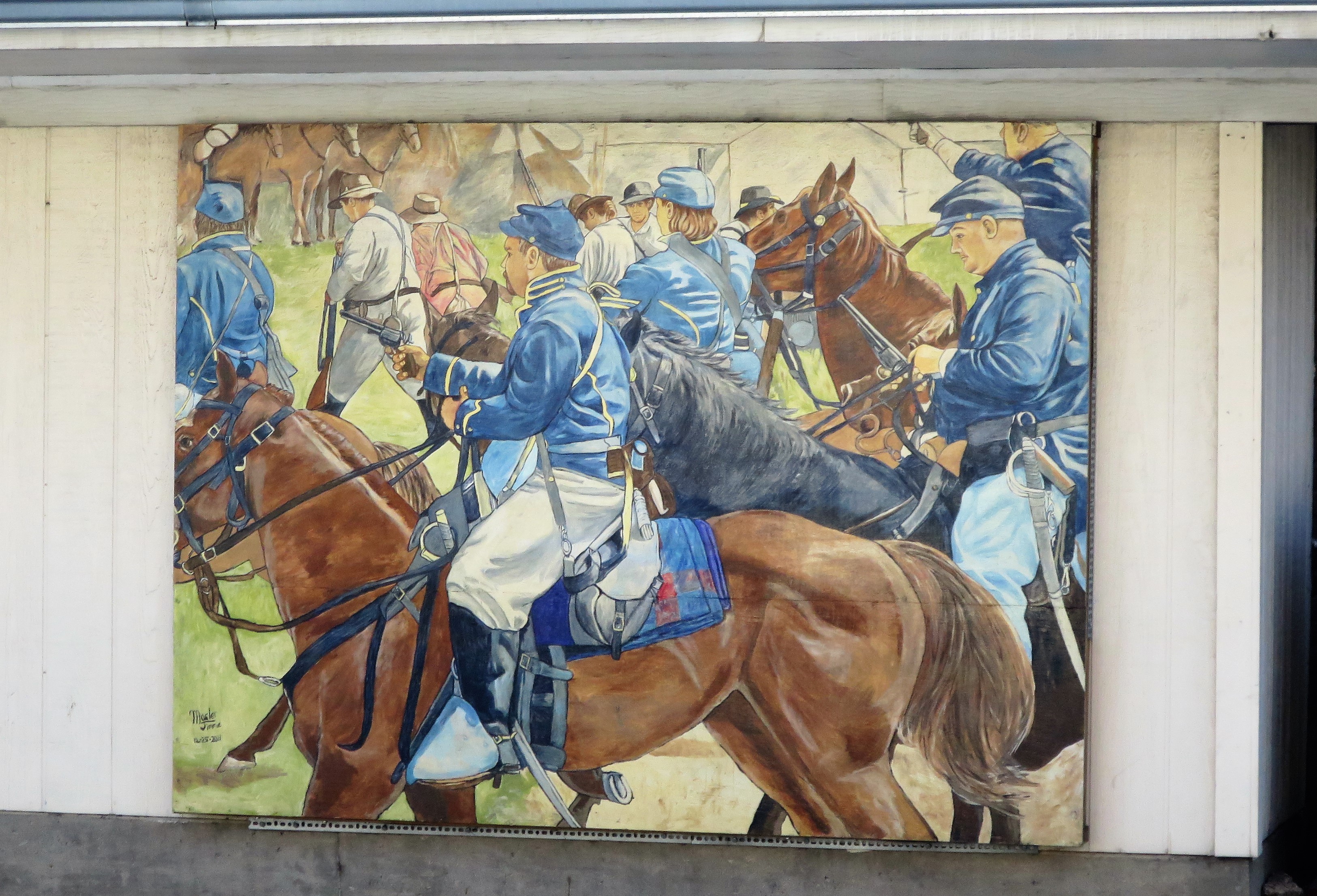
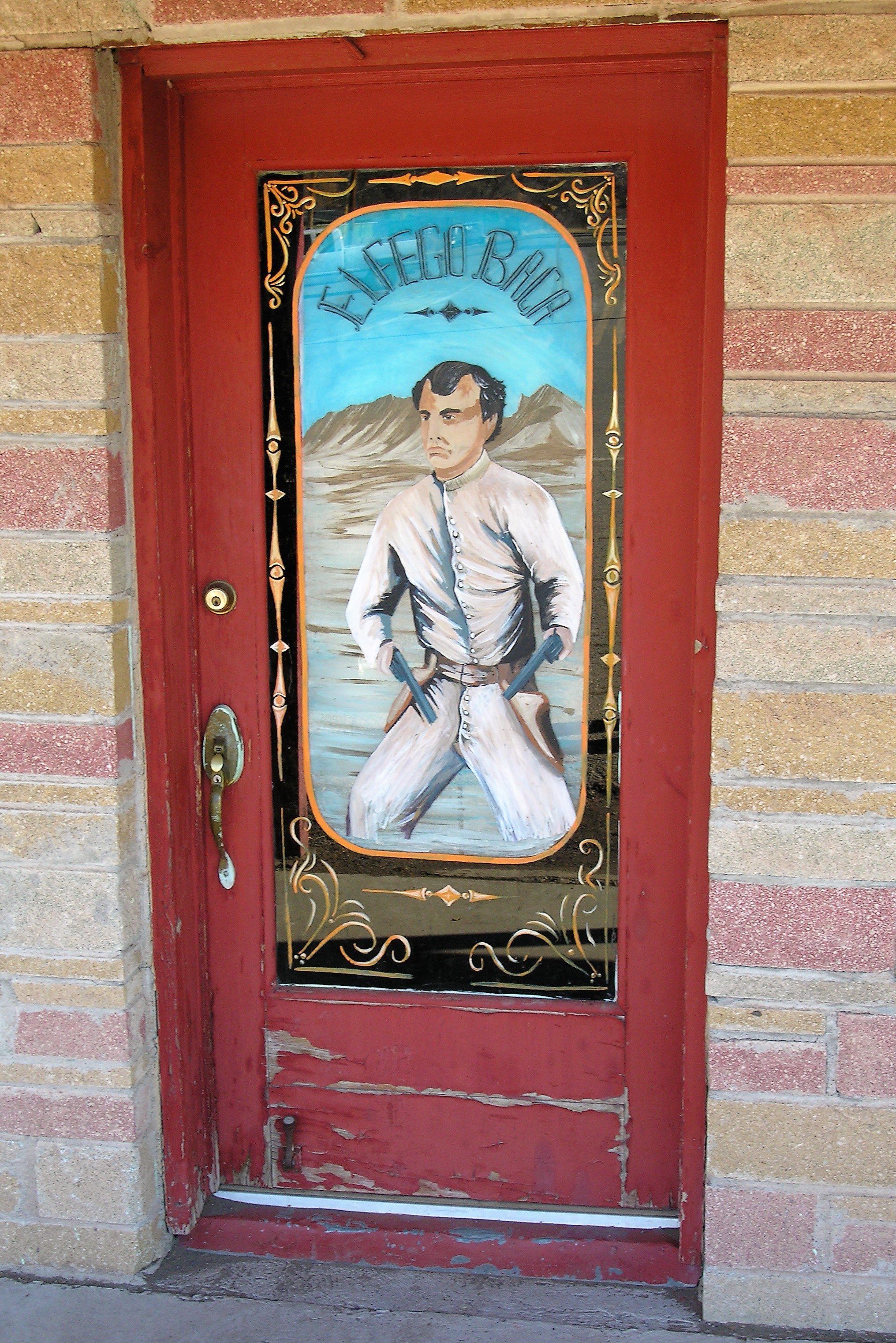
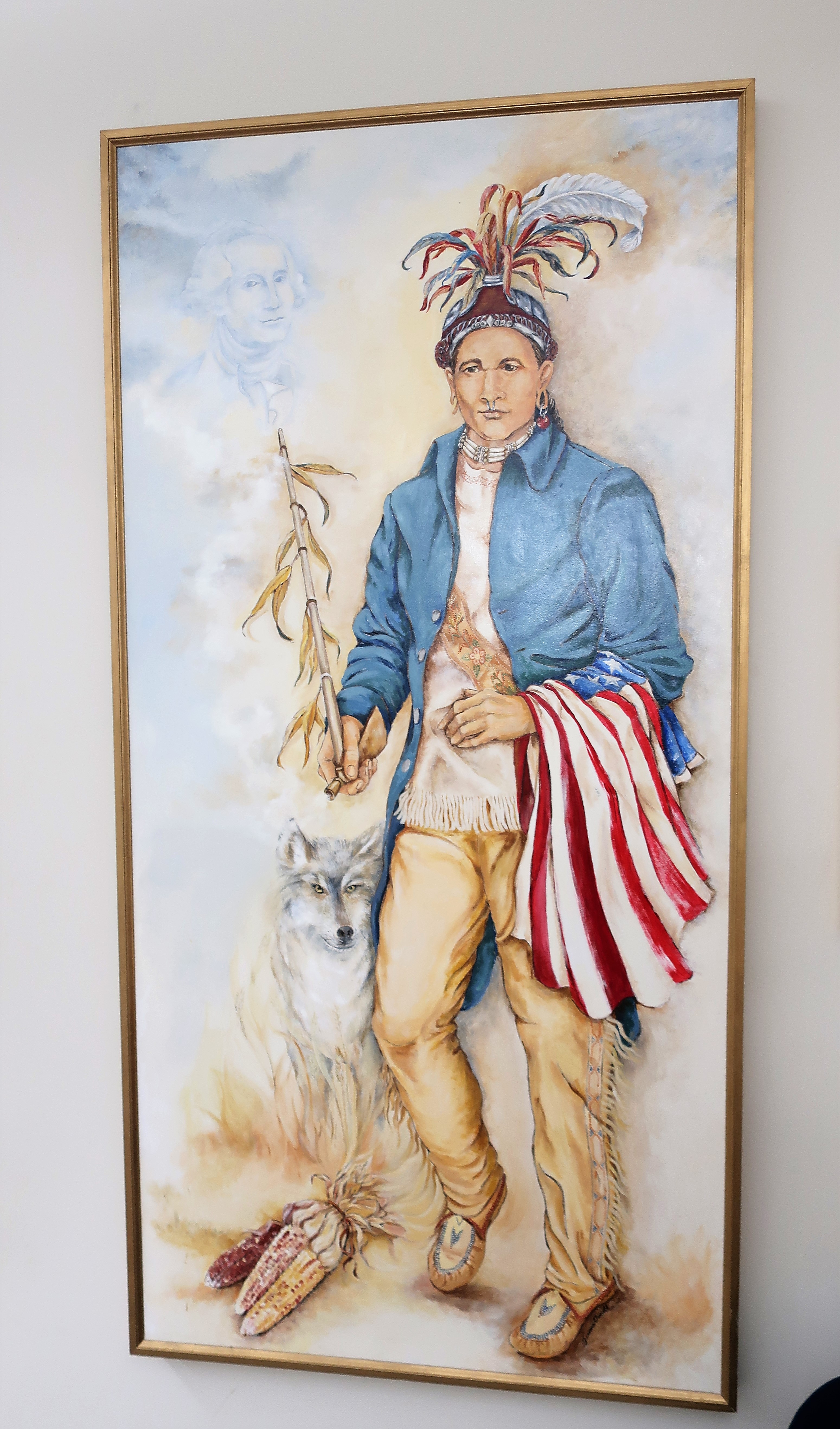
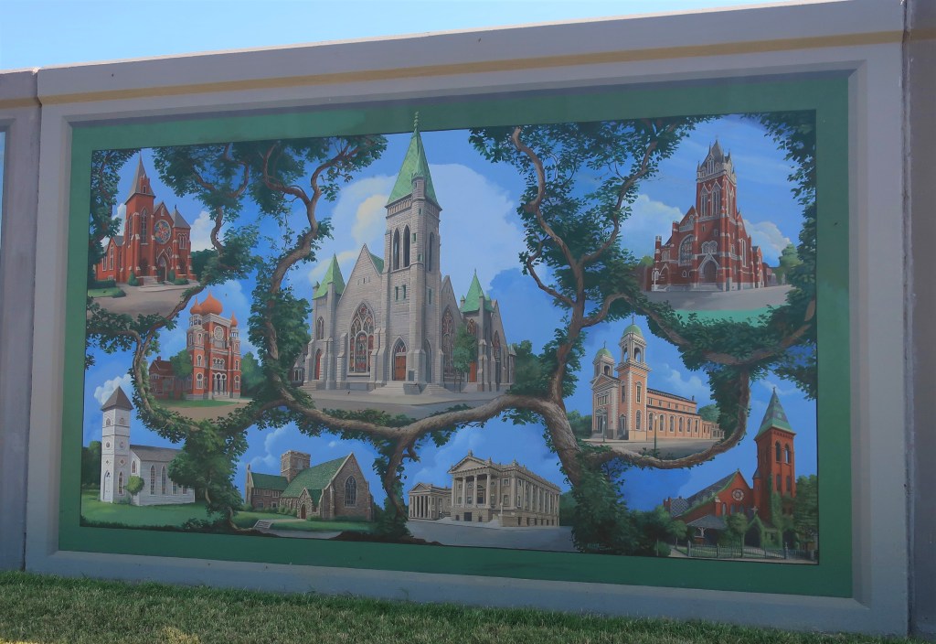
I found this painting outside the old town telephone building. I checked, and Lily Tomlin didn’t come from Emmett, but the image still seems appropriate.

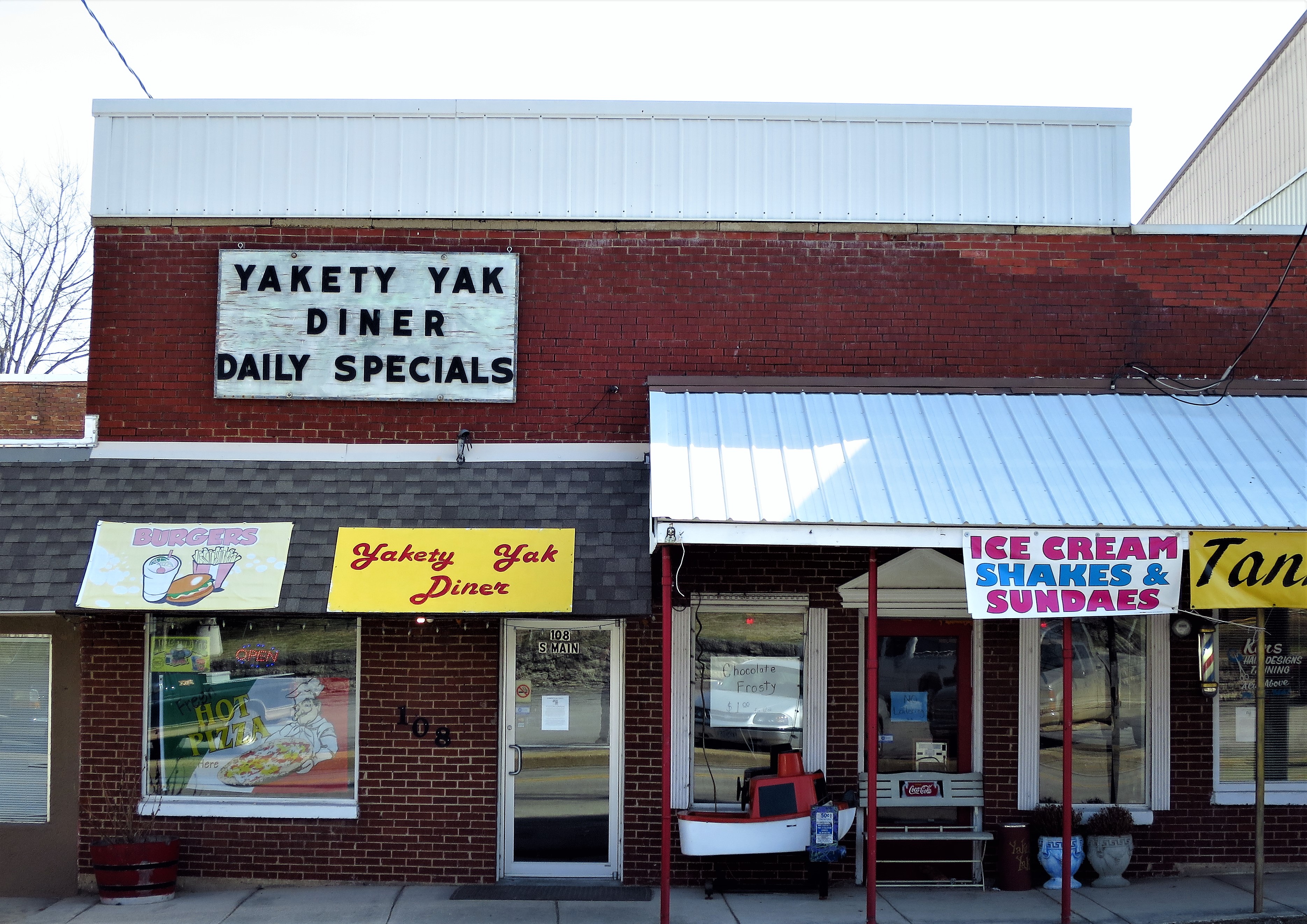
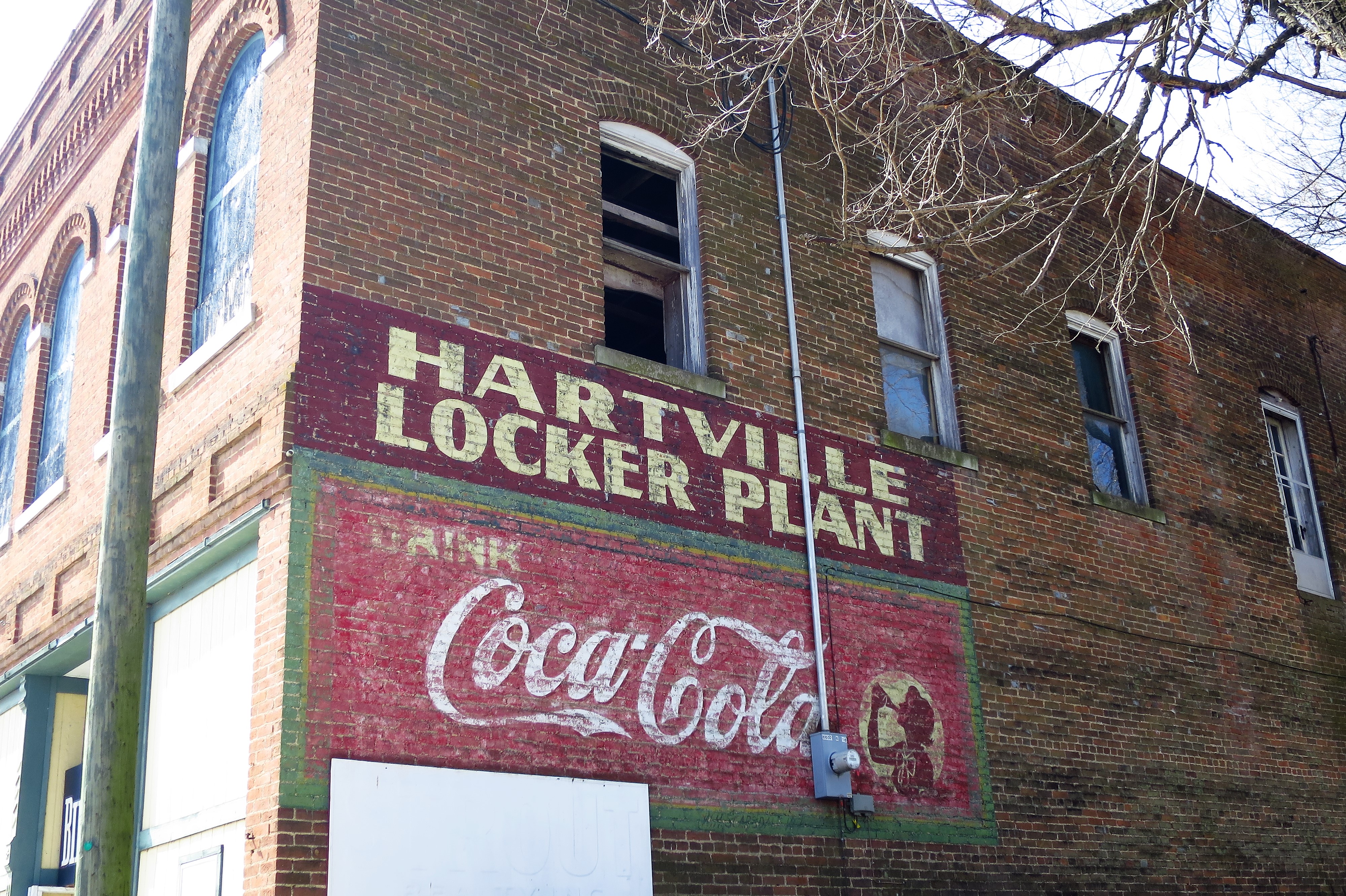
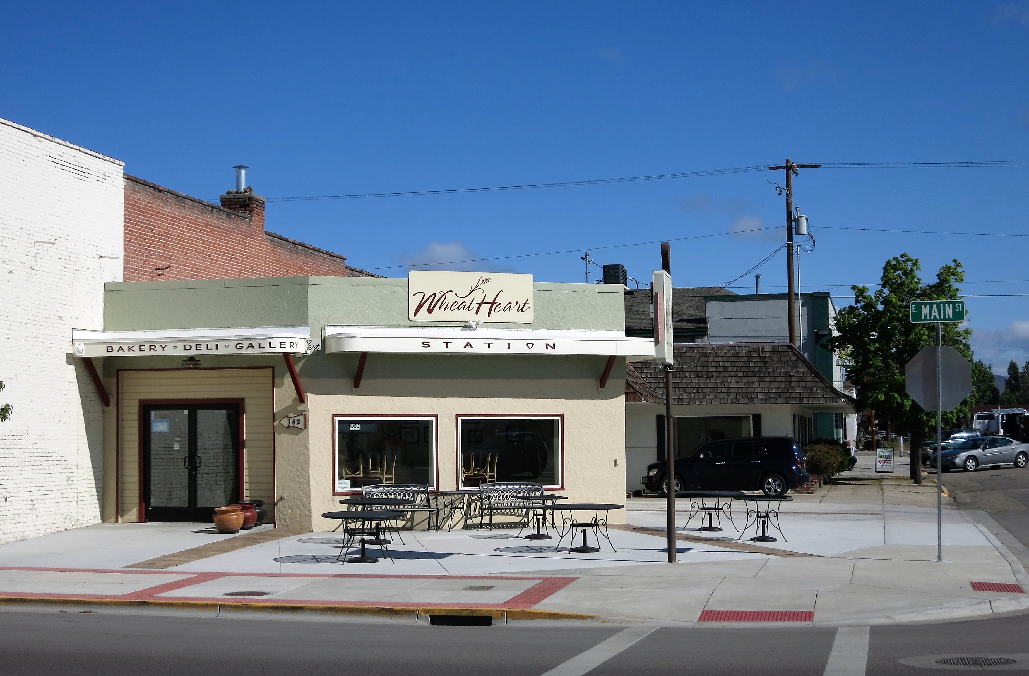
Here, an old corner service station has been converted to a combination Bakery-Deli-Gallery. The photo below was taken in 2014; the space is now the Newstead Farm & Market (link here).
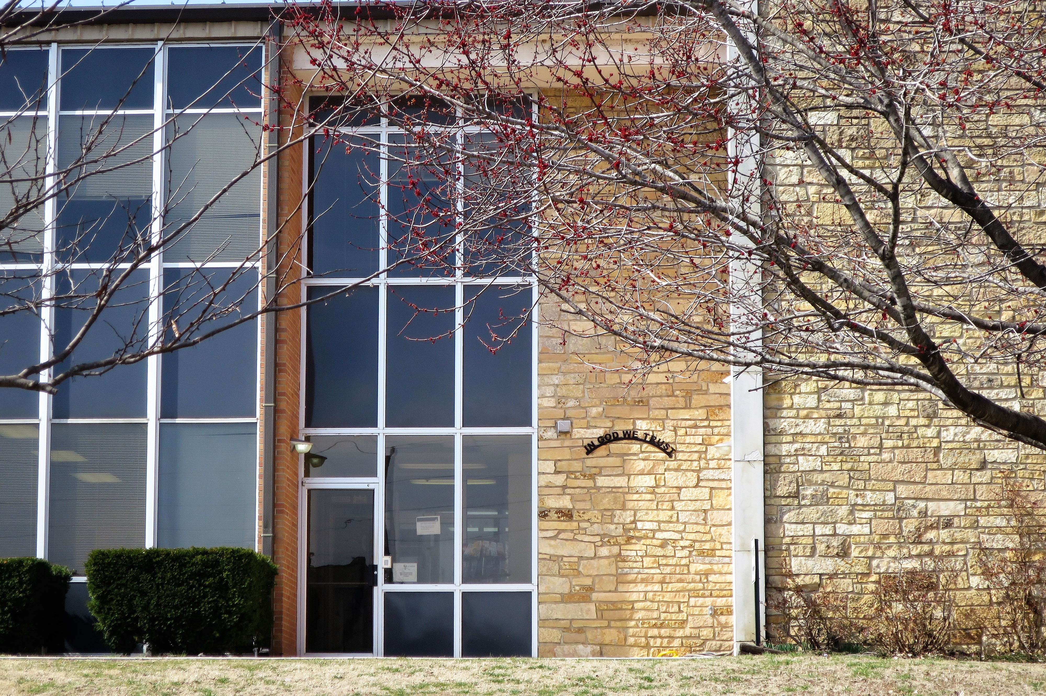
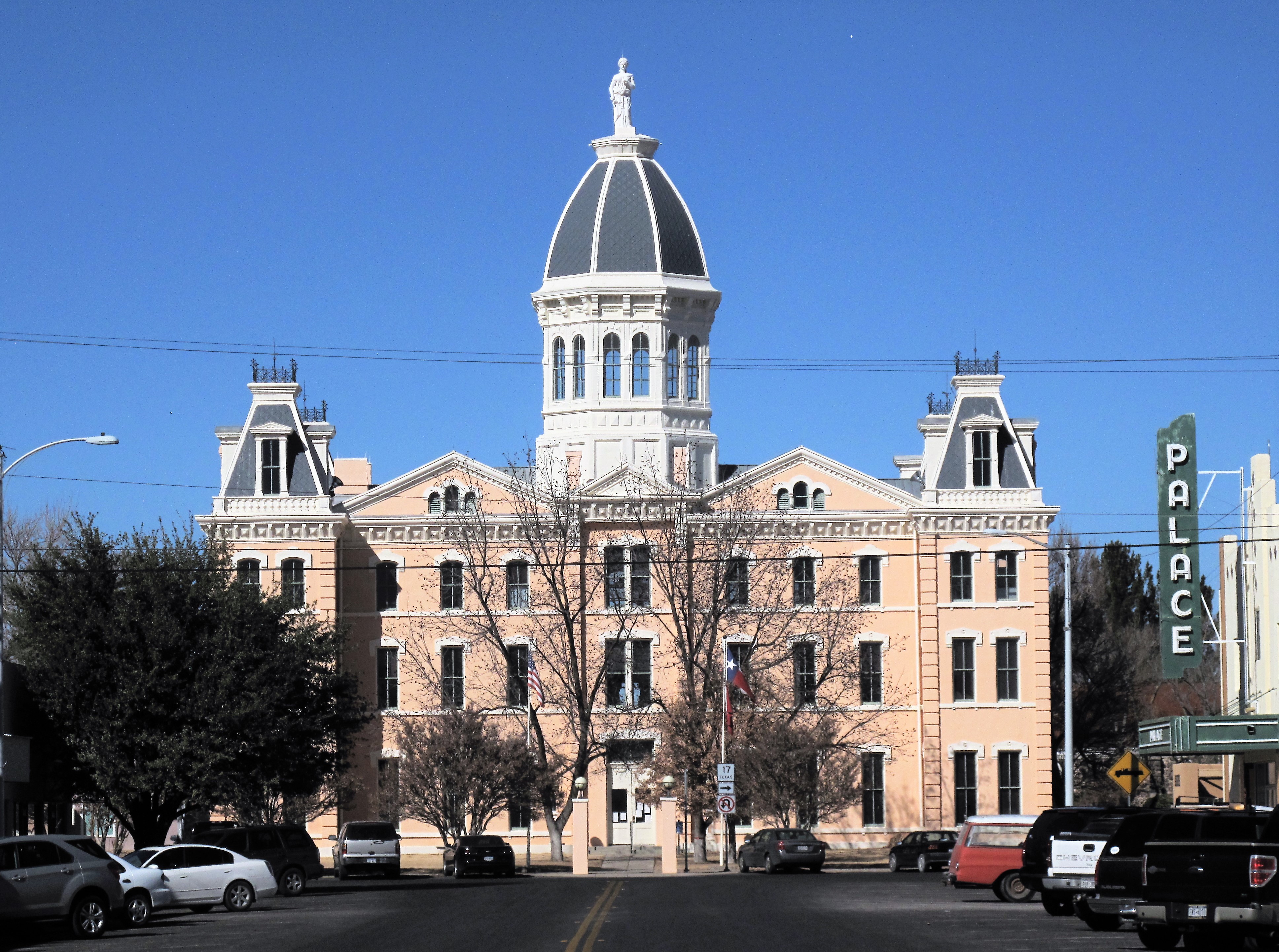
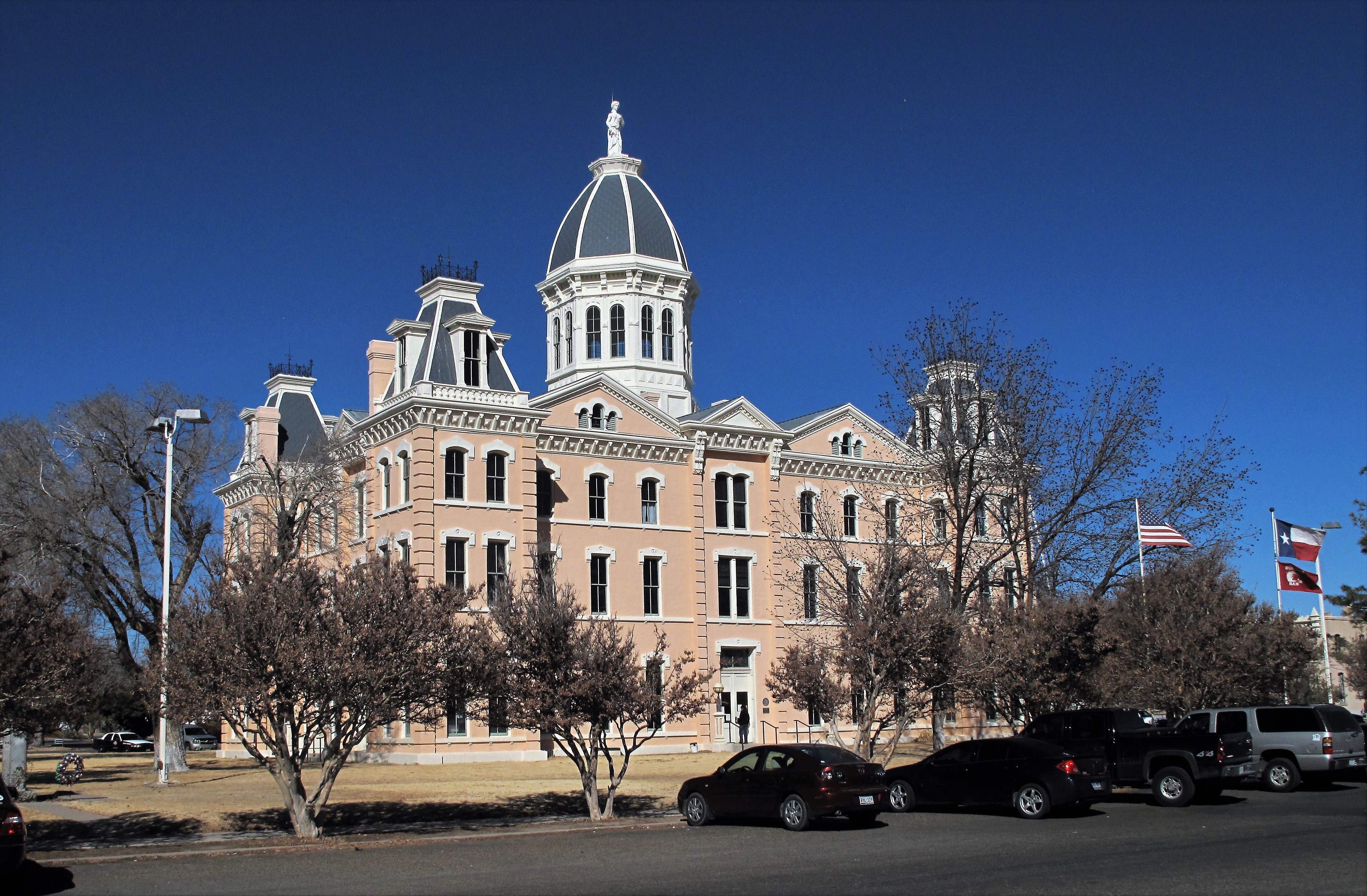
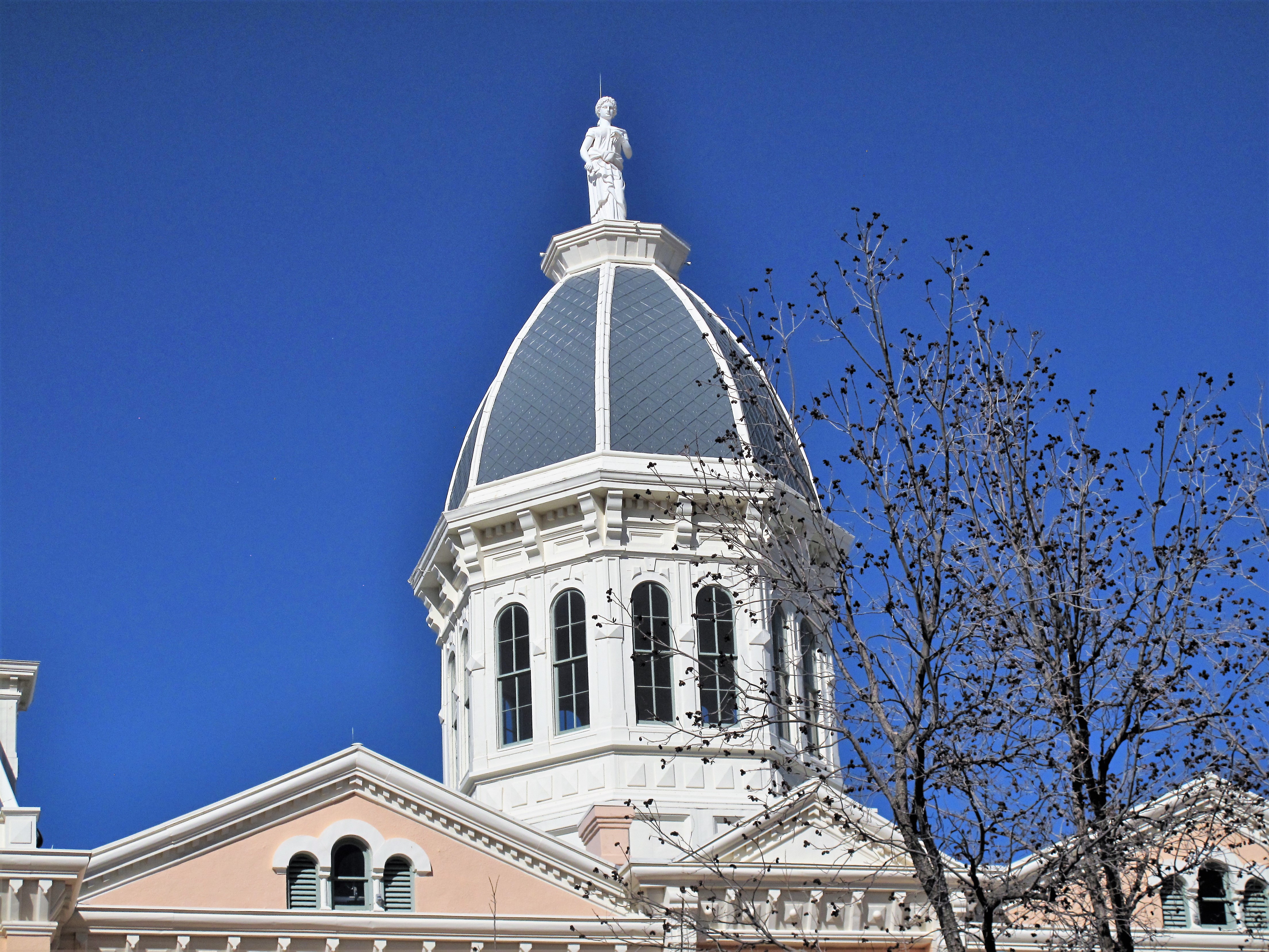
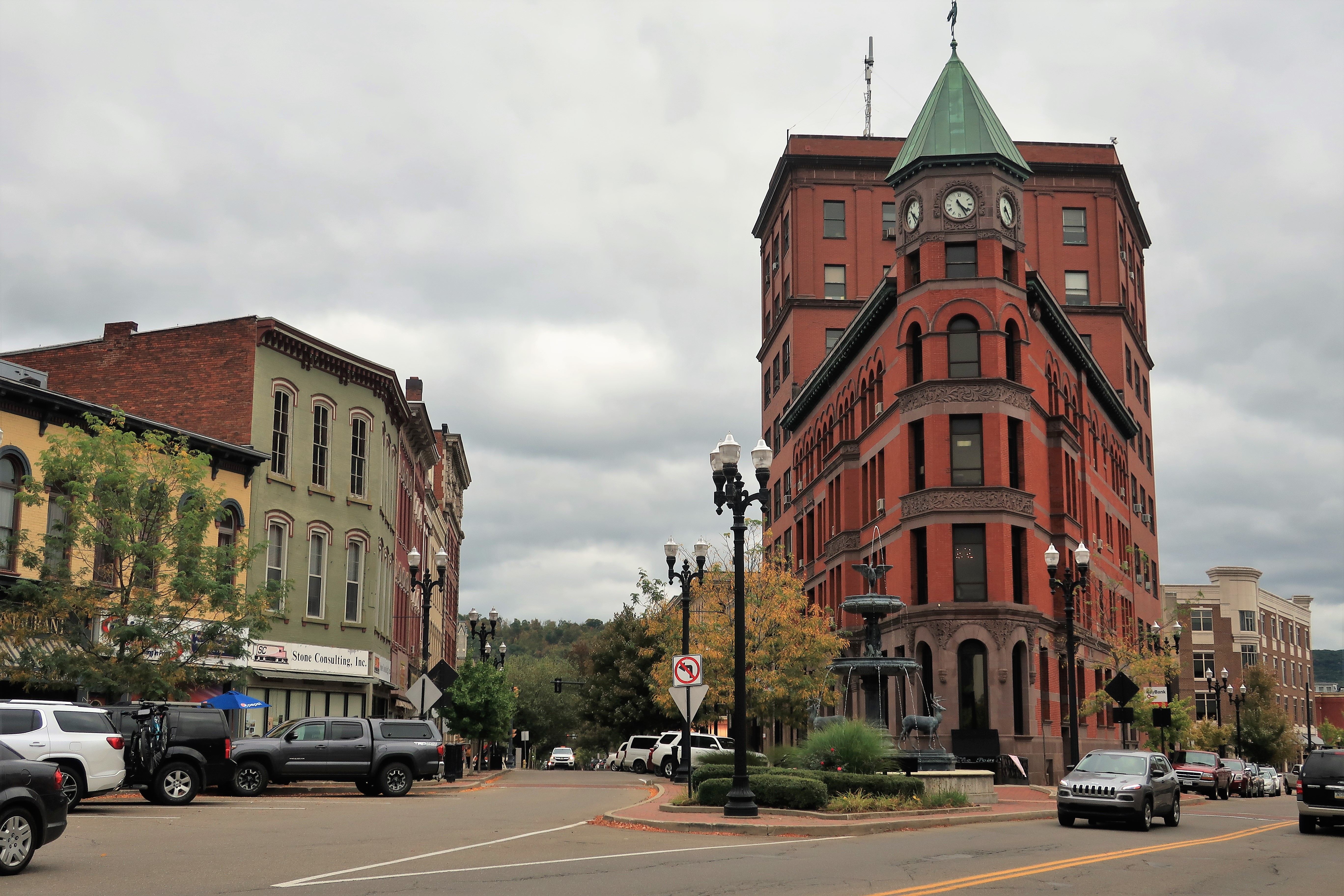
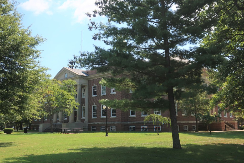
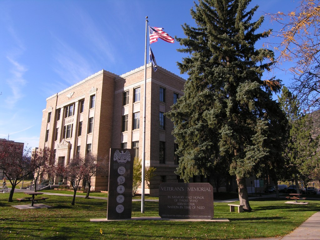
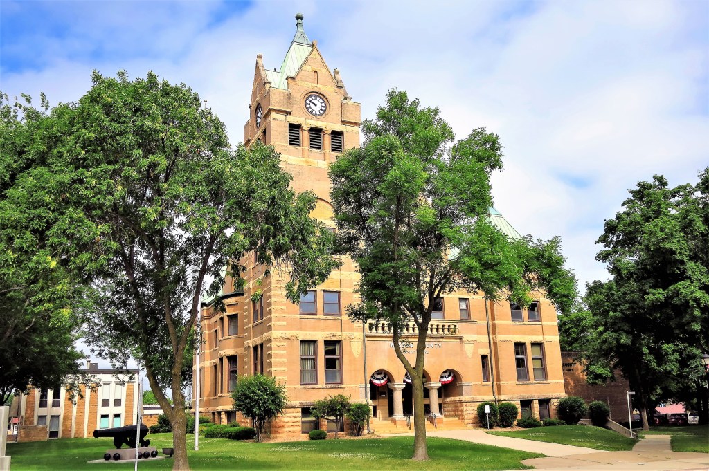
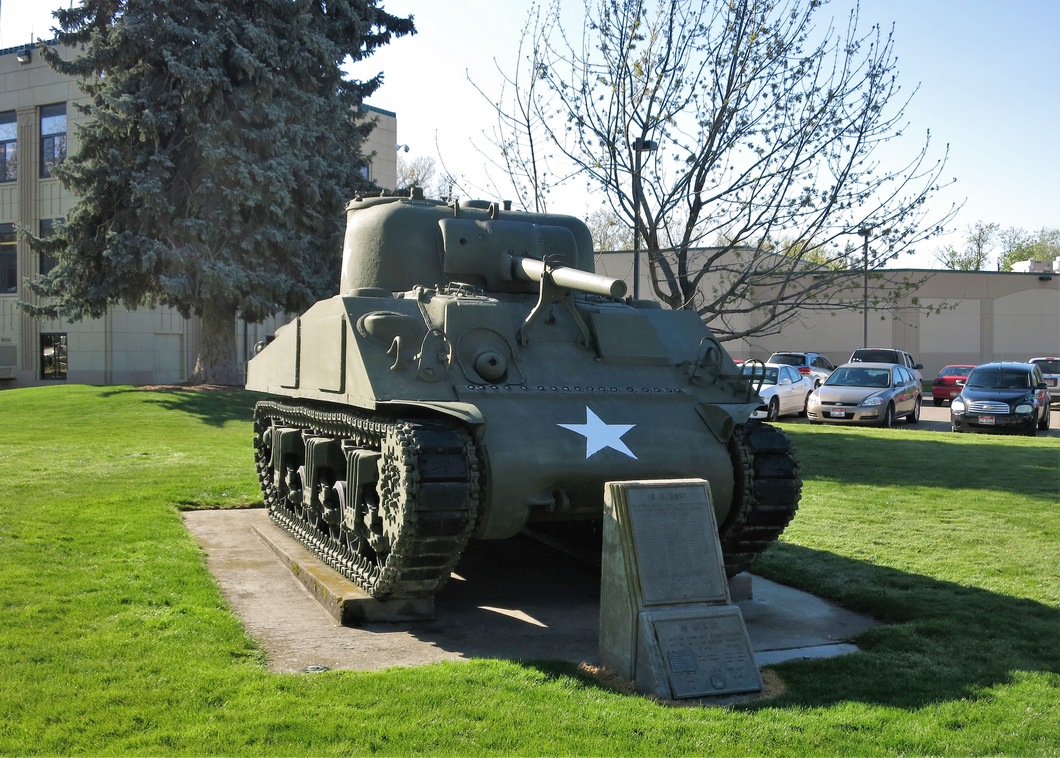
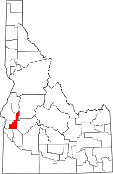
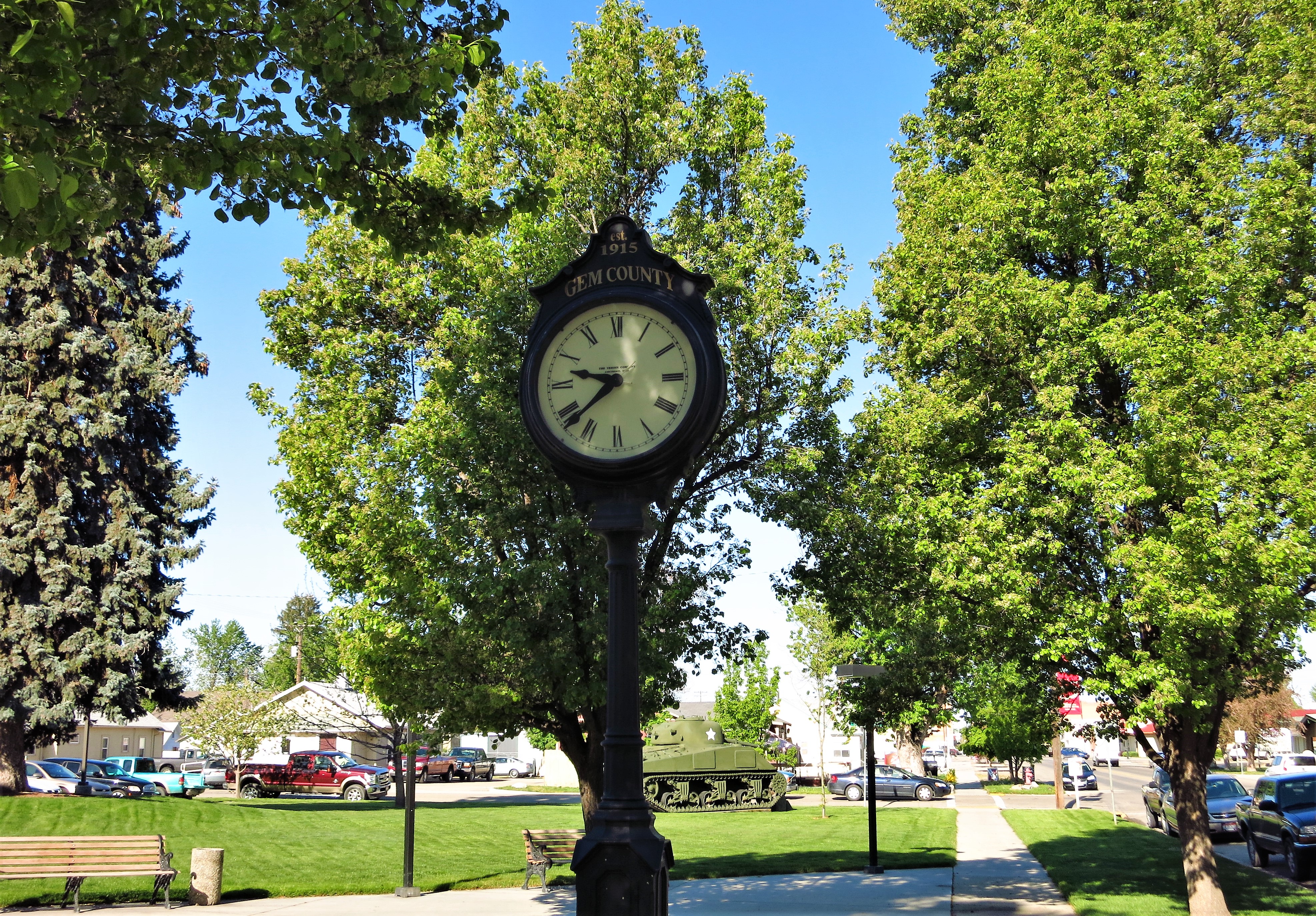
The Gem County Courthouse is here in Emmett. This structure was a WPA project, built in 1939. The county was named for Idaho’s state nickname, “the Gem State,” and was formed in 1915. A new jail and sheriff’s office has recently been added behind the building.

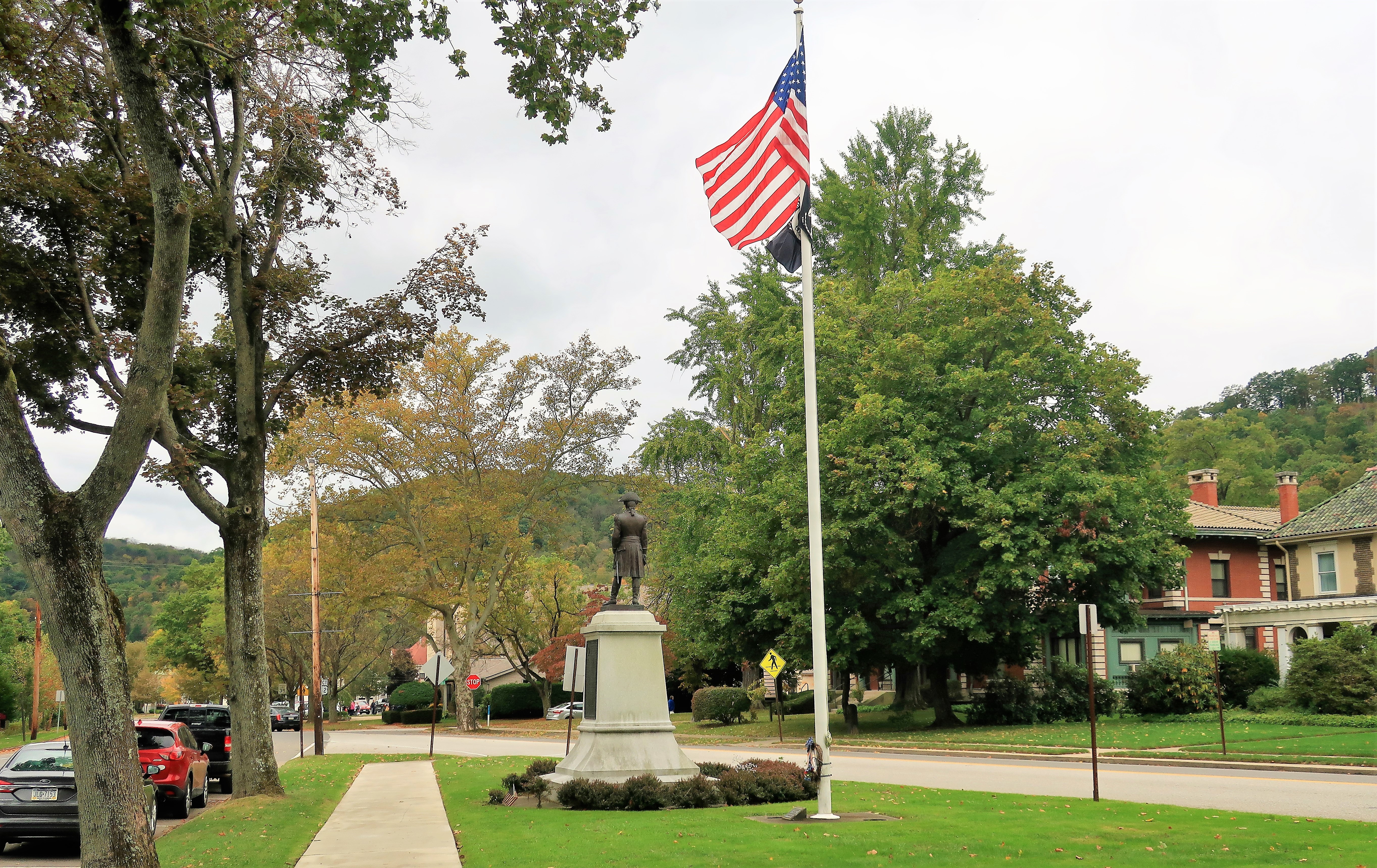
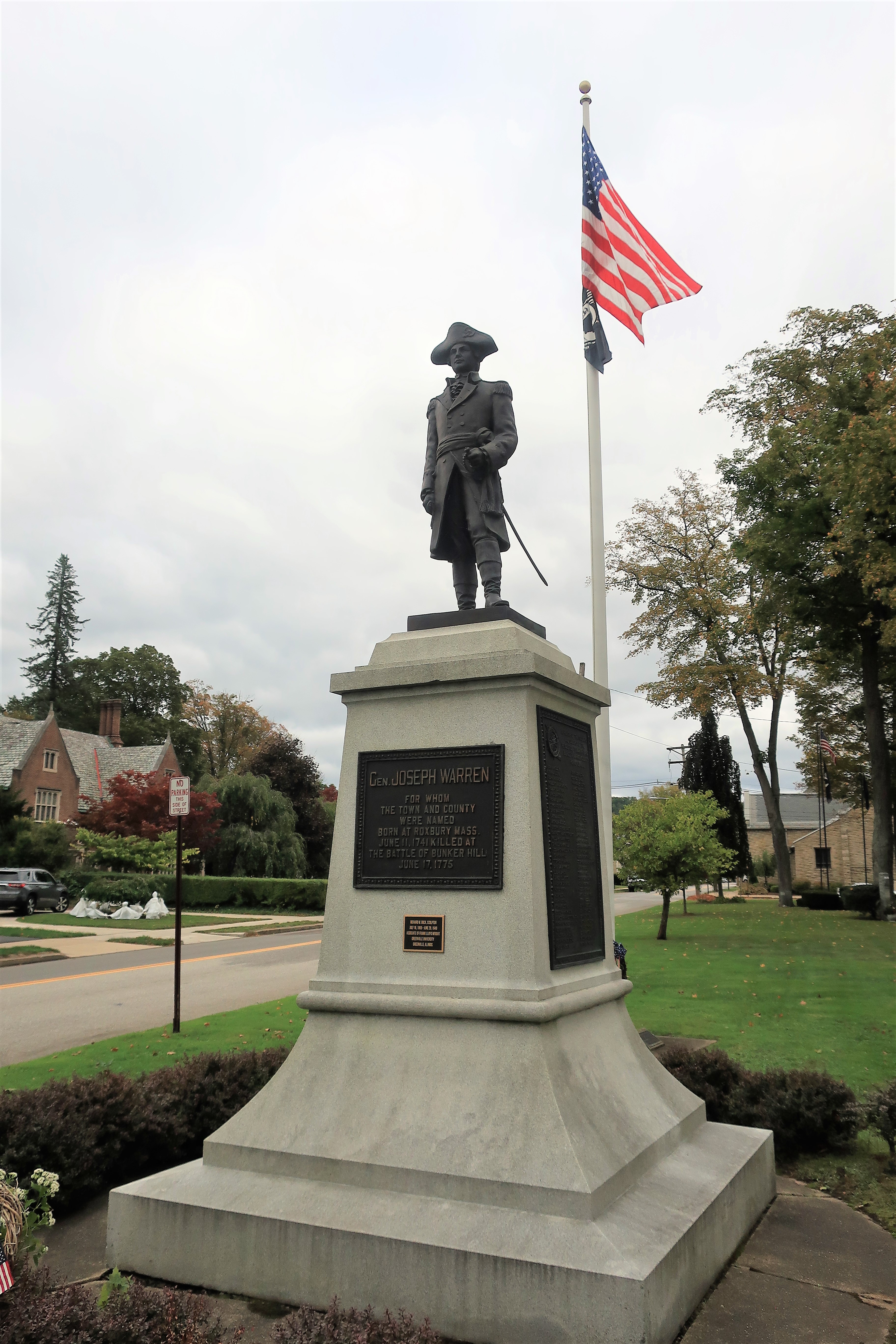
I think every green courthouse lawn needs a Sherman tank. Every. Single. One.
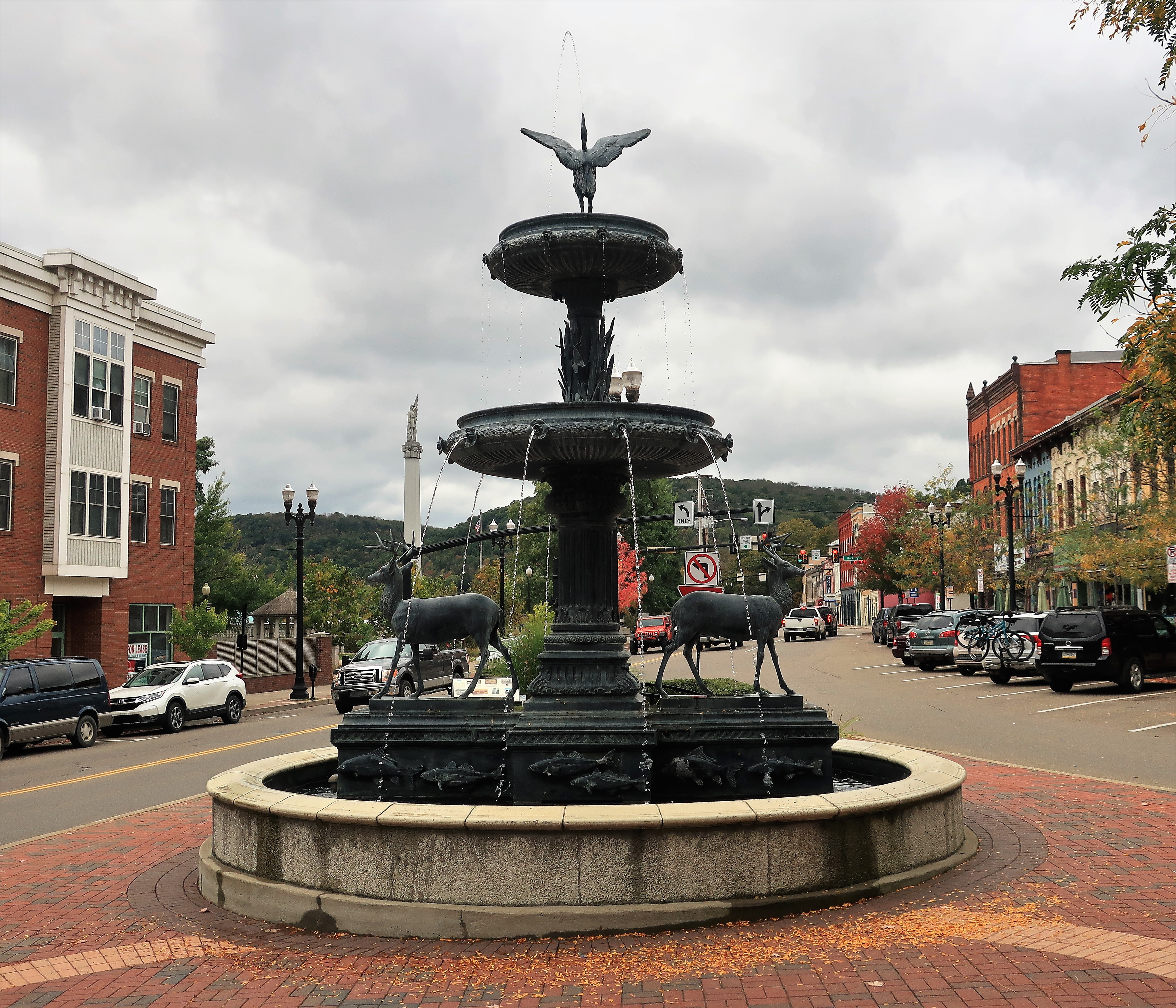
Similarly, a fine county clock always improves the town square.
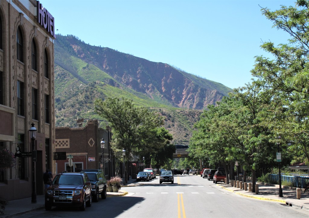
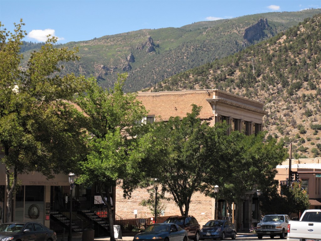
Mountains in the distance on a bright April morning:
Finally, some town blooms. It’s no wonder Californians are leaving their state in droves for places like this in Idaho.

All photos were taken by the author on April 28, 2014
A list of all photo posts from the American County Seats series in TimManBlog can be found here.
I travel as a hobby and not for a living (yet) — but donations are happily accepted if you’d like to help defer my costs.
Thanks,
The TimMan
Make a one-time donation
Make a monthly donation
Make a yearly donation
Choose an amount
Or enter a custom amount
Your contribution is appreciated.
Your contribution is appreciated.
Your contribution is appreciated.
DonateDonate monthlyDonate yearly