Salem, Arkansas: Clean Livin’ and the Spitball
April 29, 2020
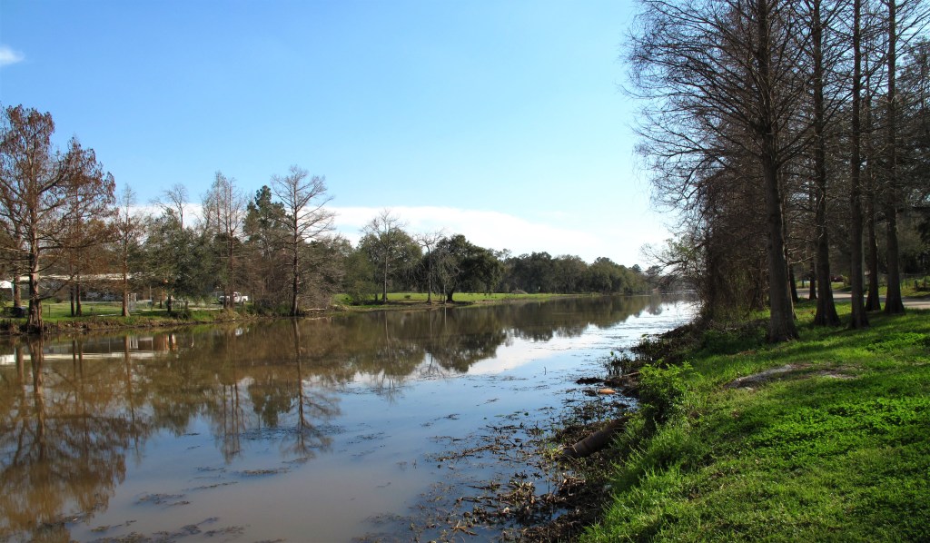
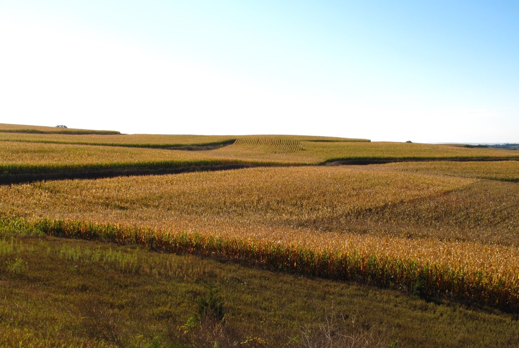
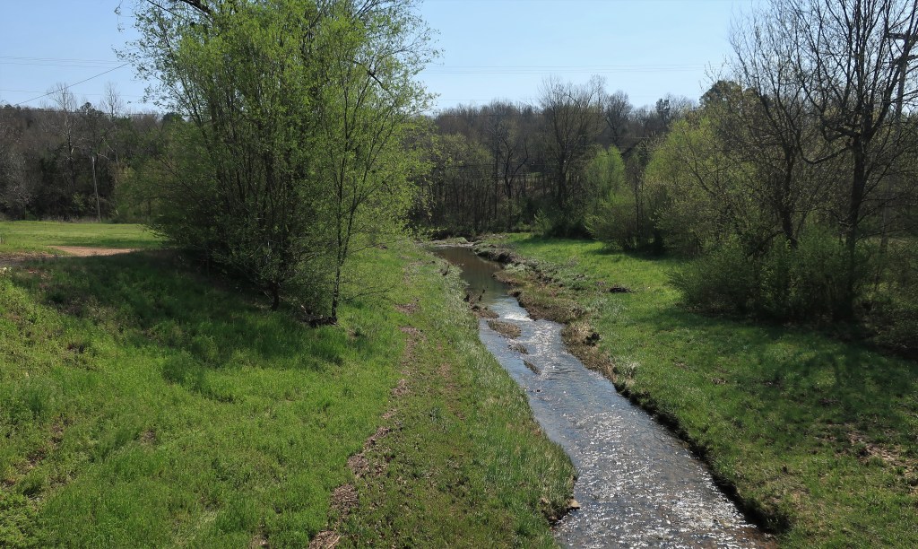
Salem, with a population of less than 2,000, is the largest town in northern Arkansas’ Fulton County. The landscape here consists of rolling farmland, yet mostly used for cattle raising from what I can see. It’s hard to say if the county is considered part of the Ozarks or not – there are some tall hills around but I wouldn’t call them mountains.

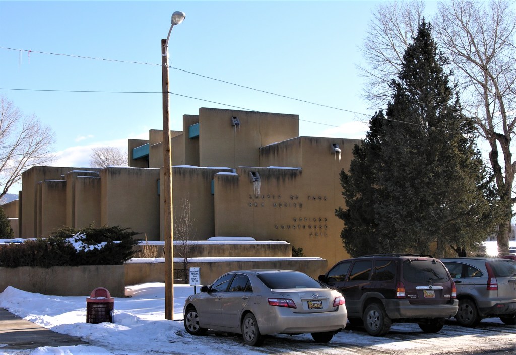
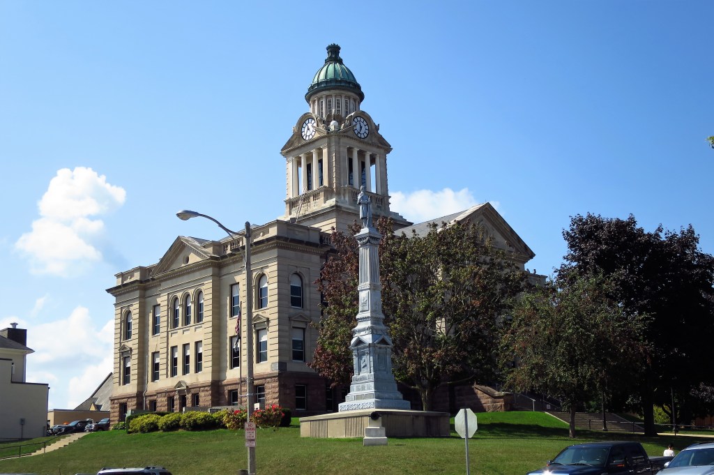
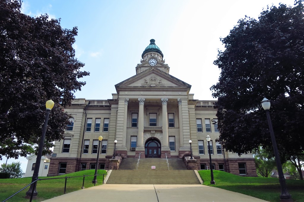
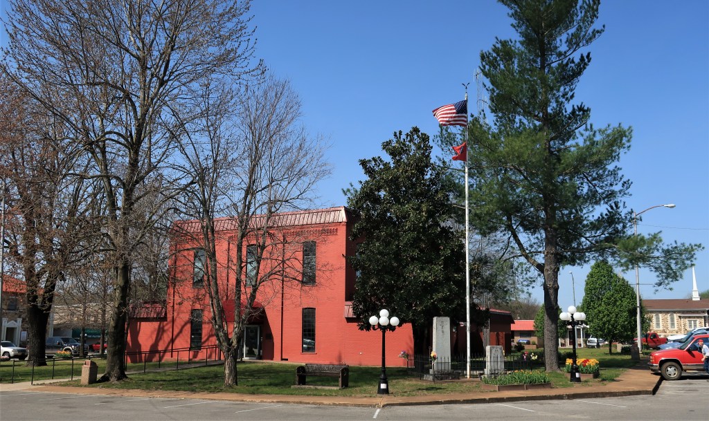
The Salem has the standard town layout – the courthouse is at the center of the town square with roads and businesses on all four sides.
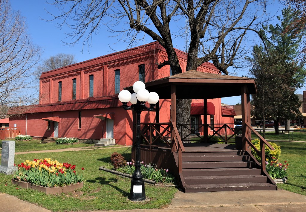
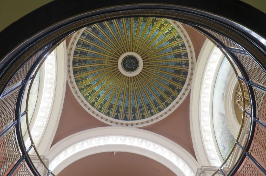
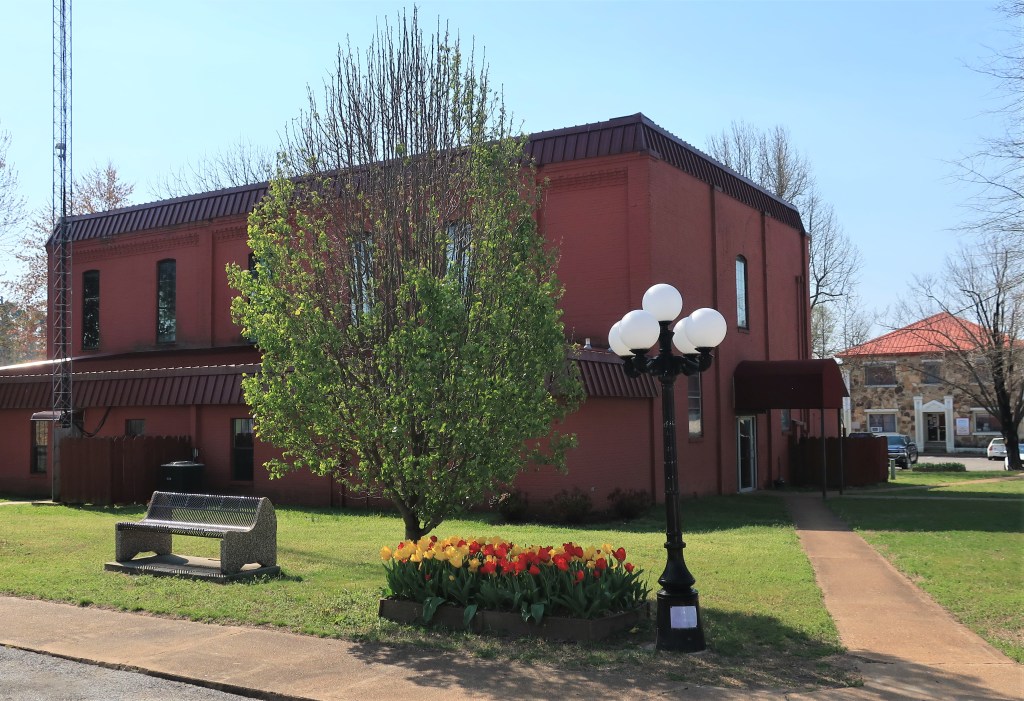
A sign on the courthouse lawn explains that the land for the Fulton County Courthouse was donated in 1842. The current building was constructed in 1891 and renovated in 1974. It’s a two-story brick structure with the bricks painted red. The architecture I would characterize as sturdy – there are no adornments whatsoever. It’s purely functional.
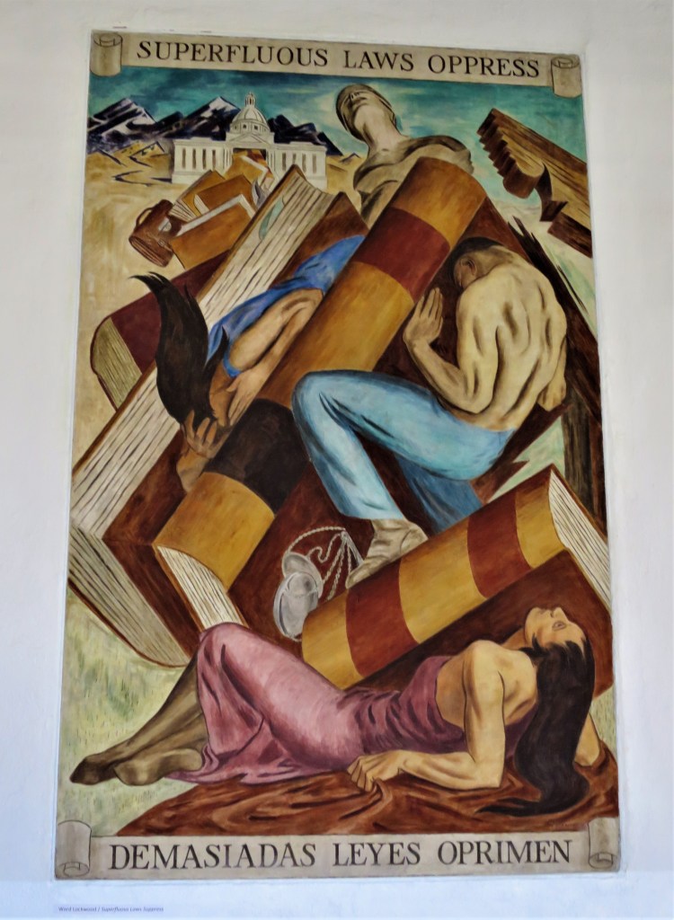
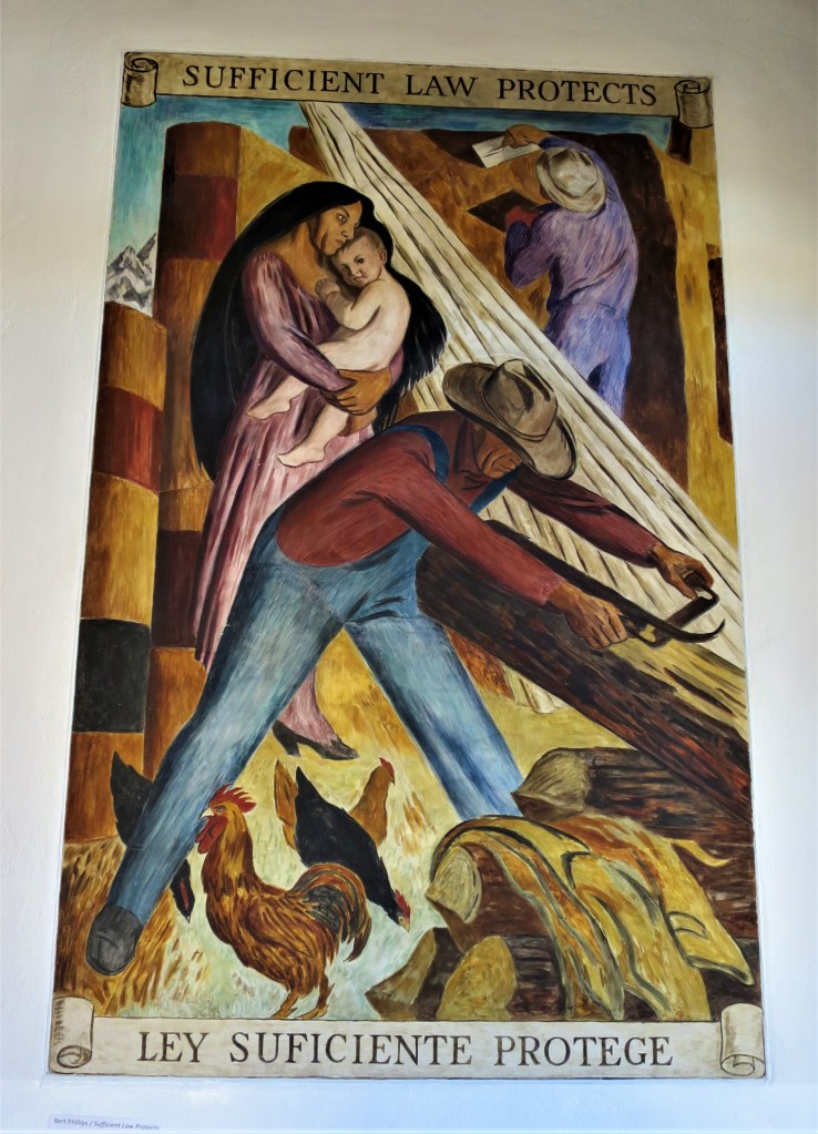
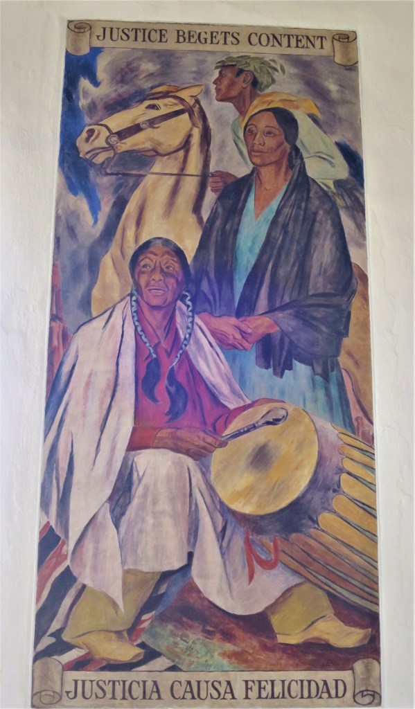
Inside the courthouse, some professional photographs of rustic county scenes line the single first-floor hallway. These are professionally done and very striking photographs. I’m surprised that they aren’t for sale, I imagine each one could sell for hundreds of dollars.
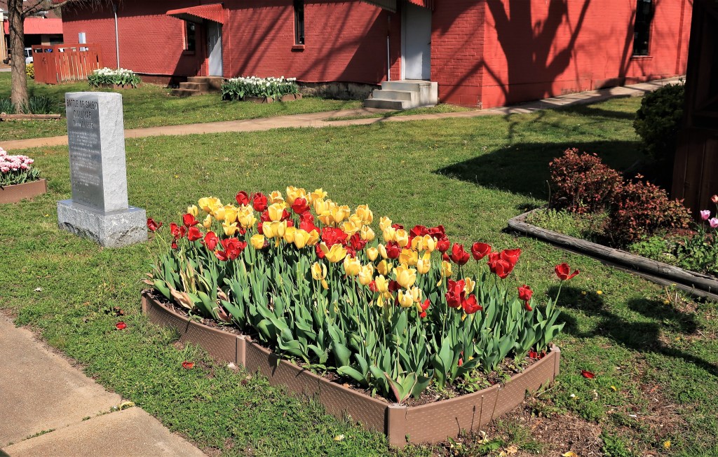
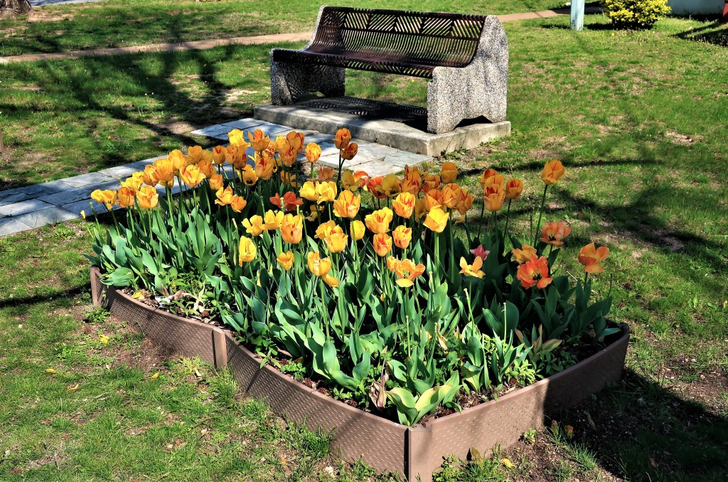
A local group called the “Fulton County Master Gardeners” provides landscaping for the courthouse lawn and they did an excellent job. The group maintains over a dozen flowerpots on the lawn currently filled with blooming tulips. Here are some examples of their fine work:

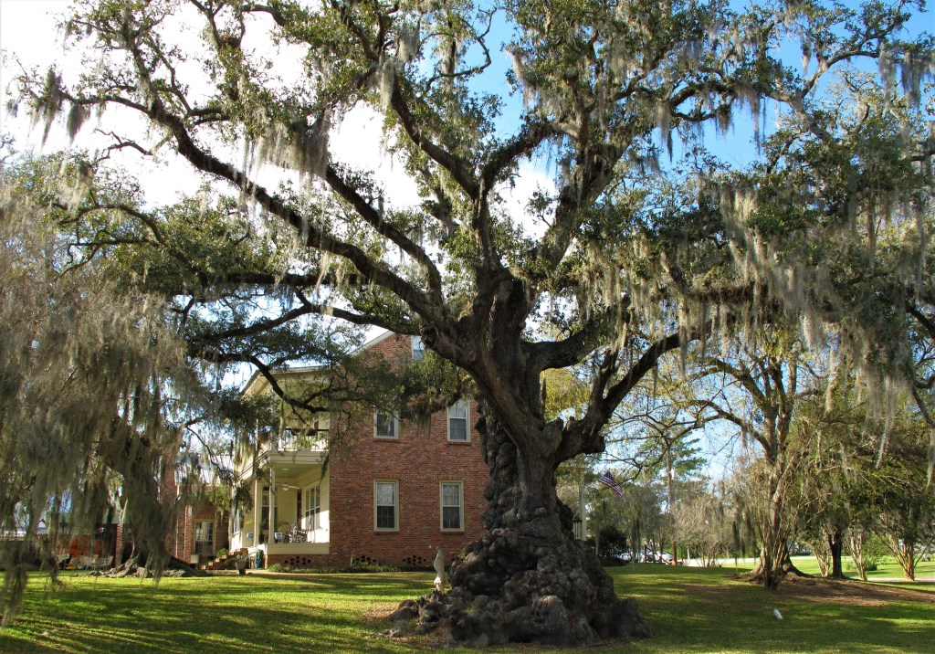
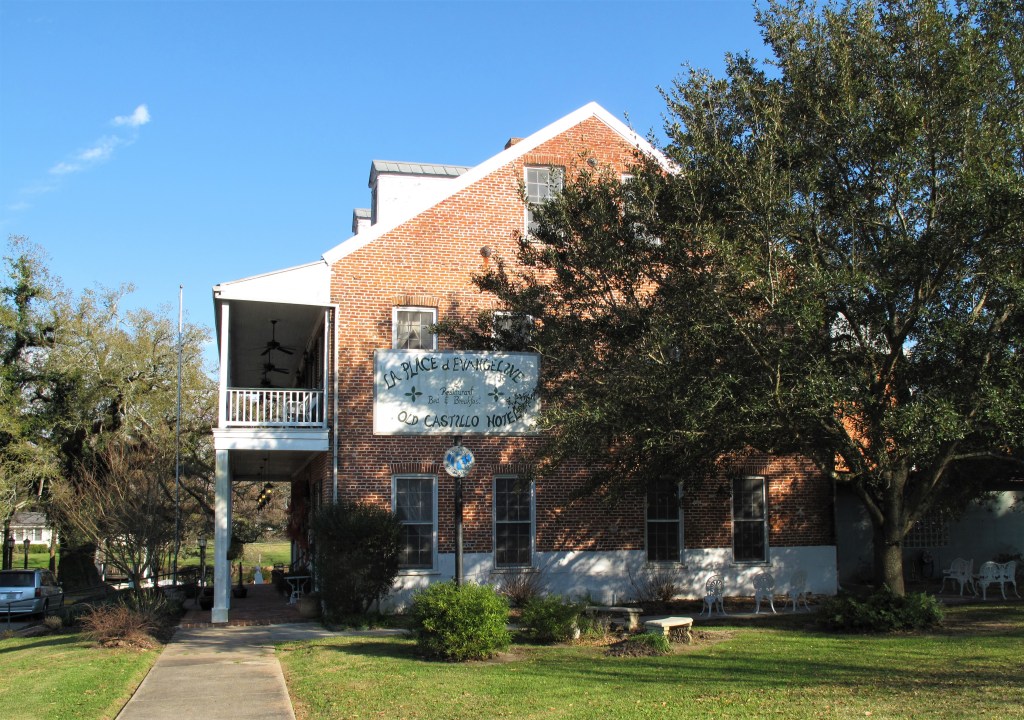
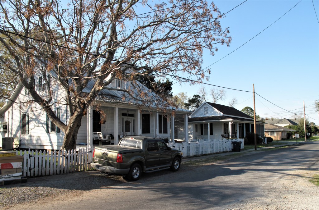
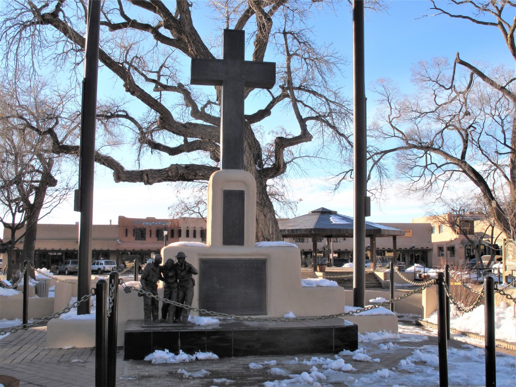
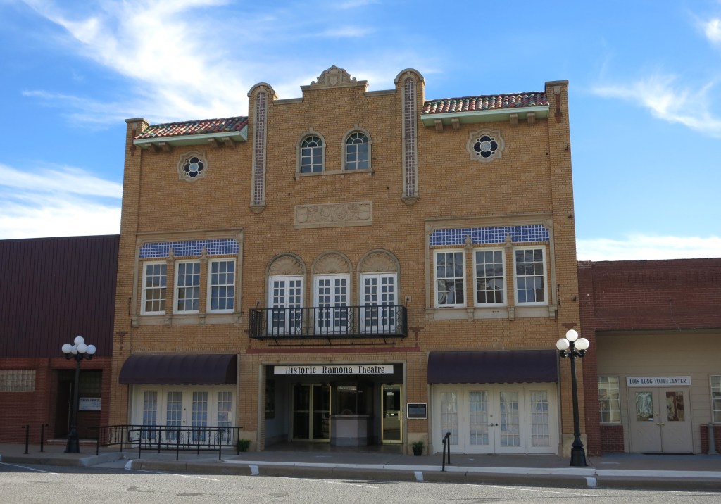
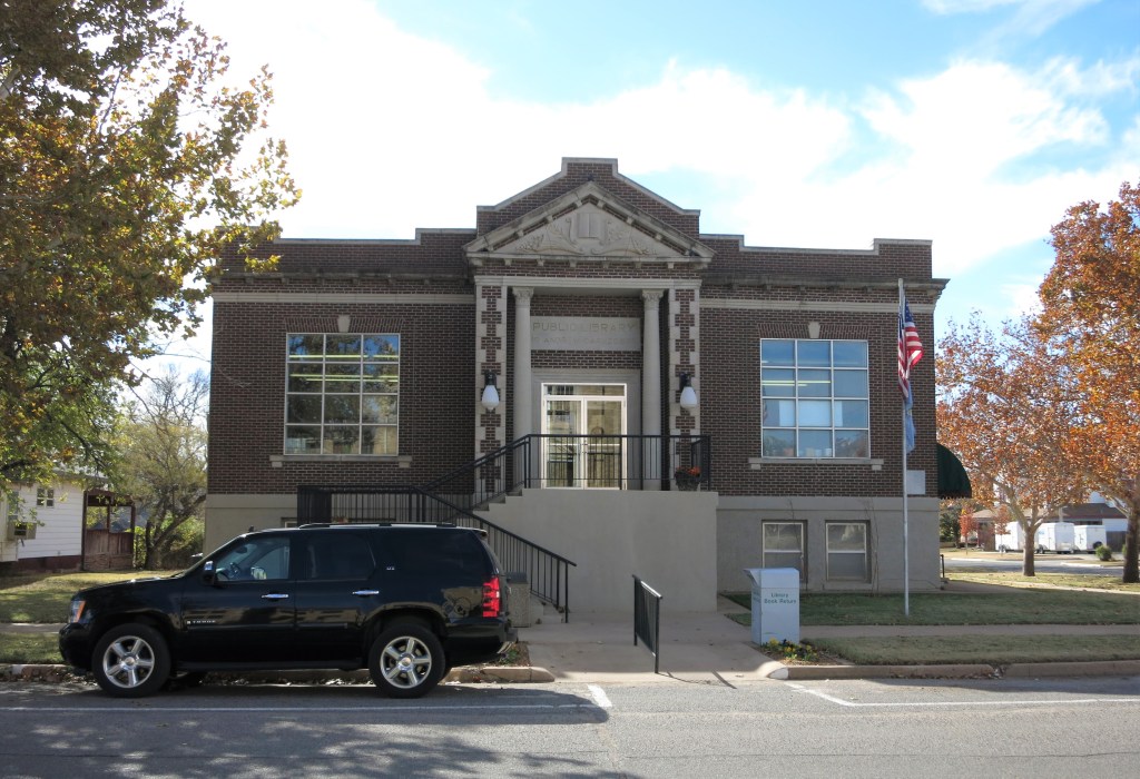
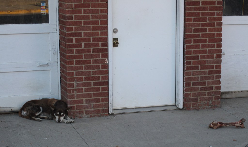
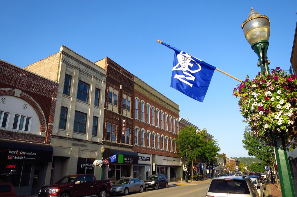
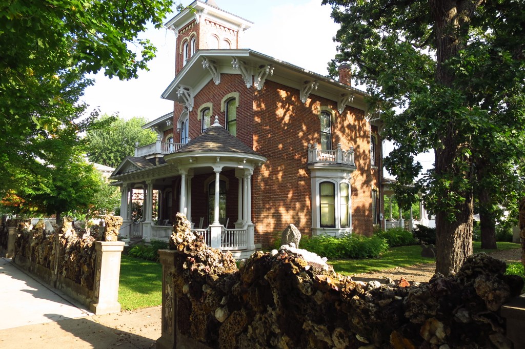
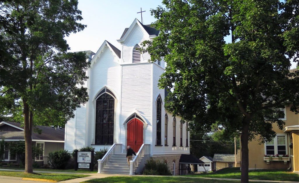
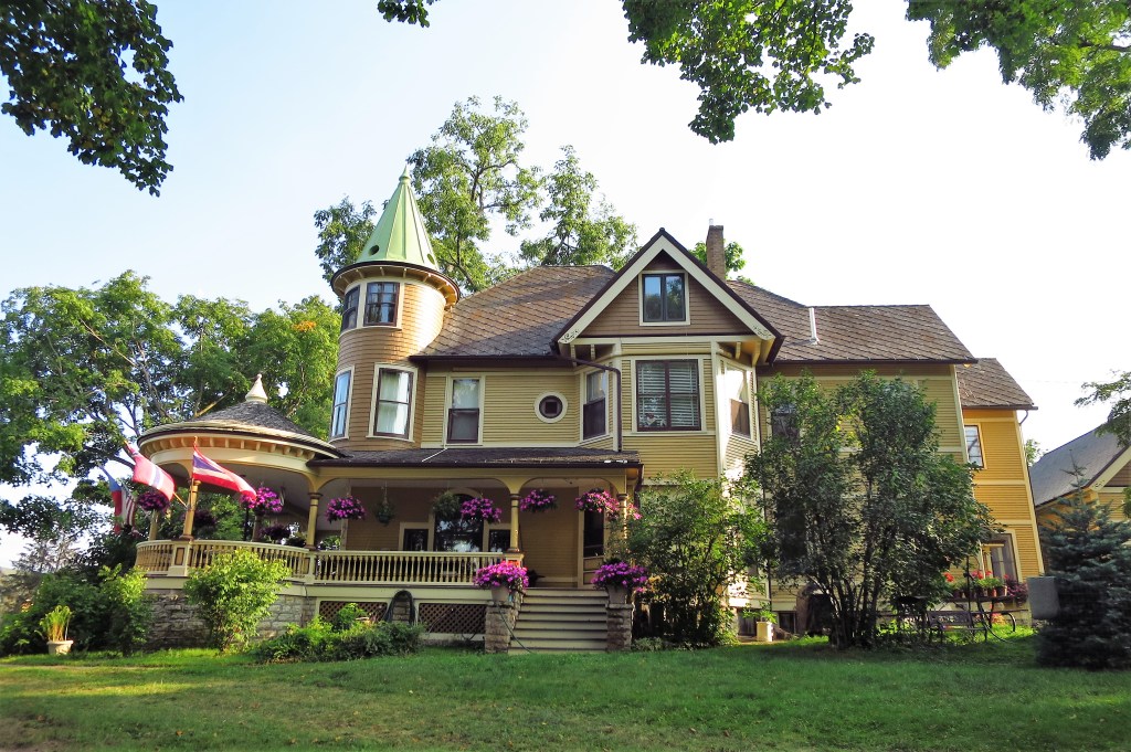
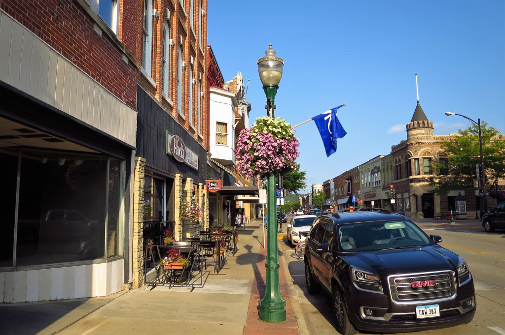
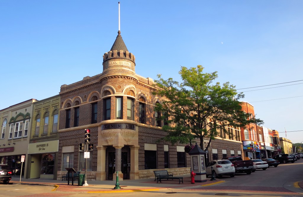
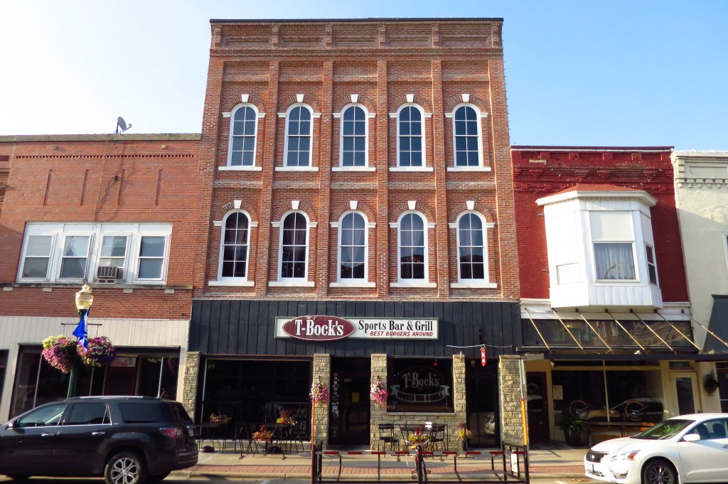
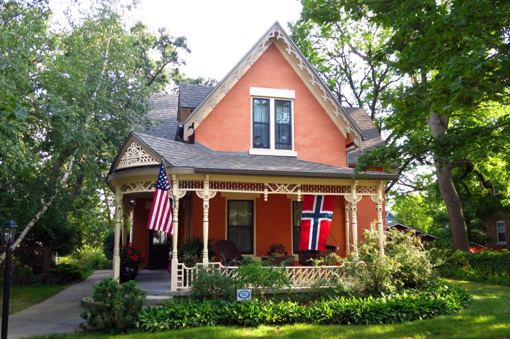
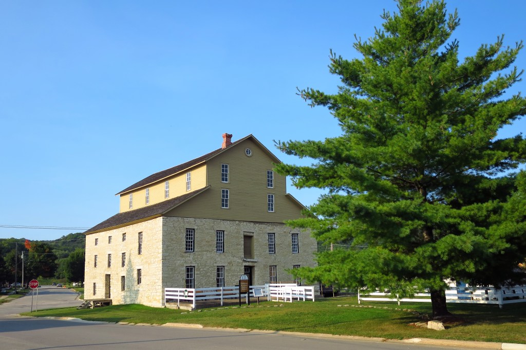
I took some photos around town. Salem is a small place.
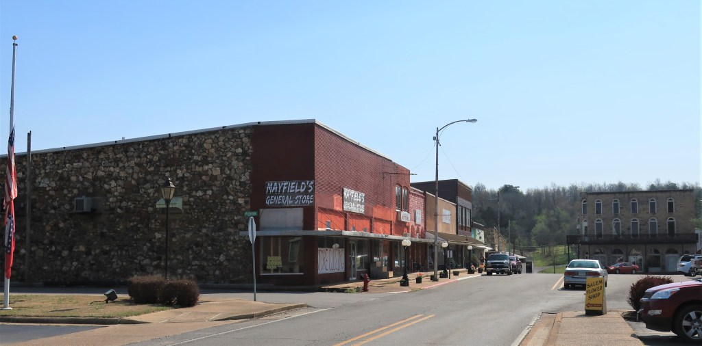
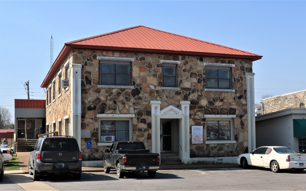
On one corner, Swingles Family Diner looks inviting although I’ve had breakfast already. Nearby, an old two-story stone building is marked “Federal Building“. It’s nice to see the Federal Government occupying such humble offices for once. The sign on the door lists 3 offices: Election Office, Revenue Office, and the Veterans Office.
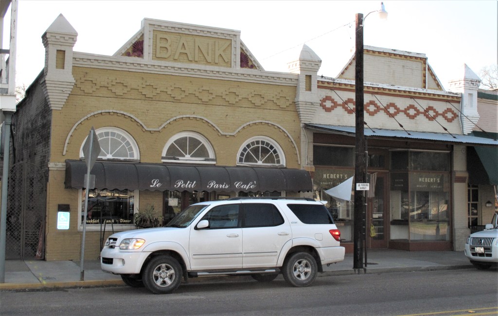
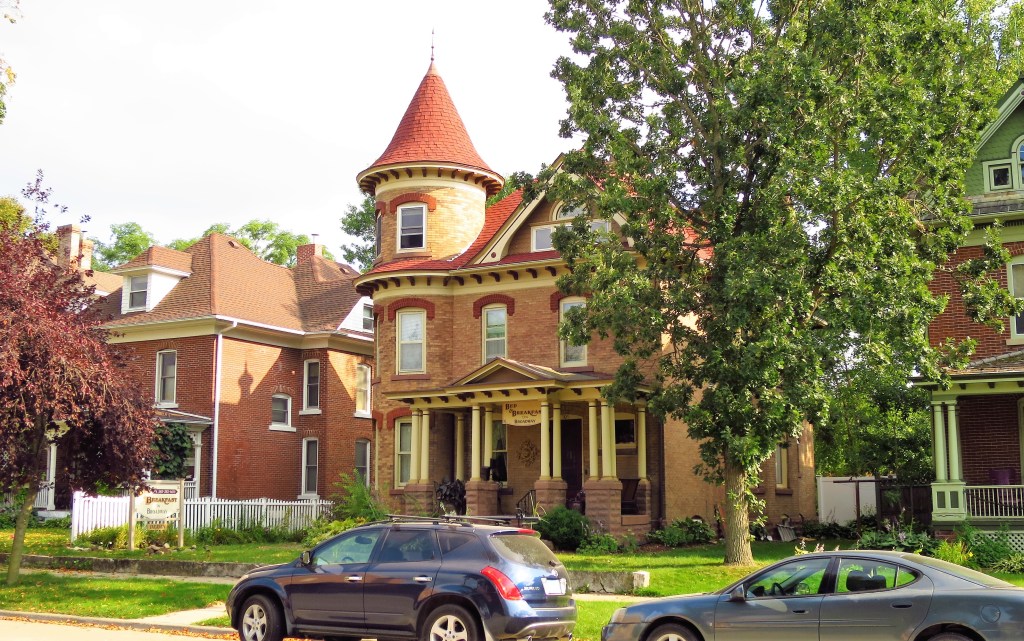
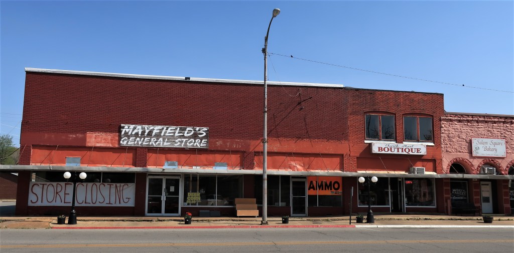
The newest building around the town square is the Bank of Salem, a catercorner to the courthouse. Across the street from the bank, Mayfield’s General Store is sadly going out of business, leaving others to services the town’s feed corn and ammo needs.
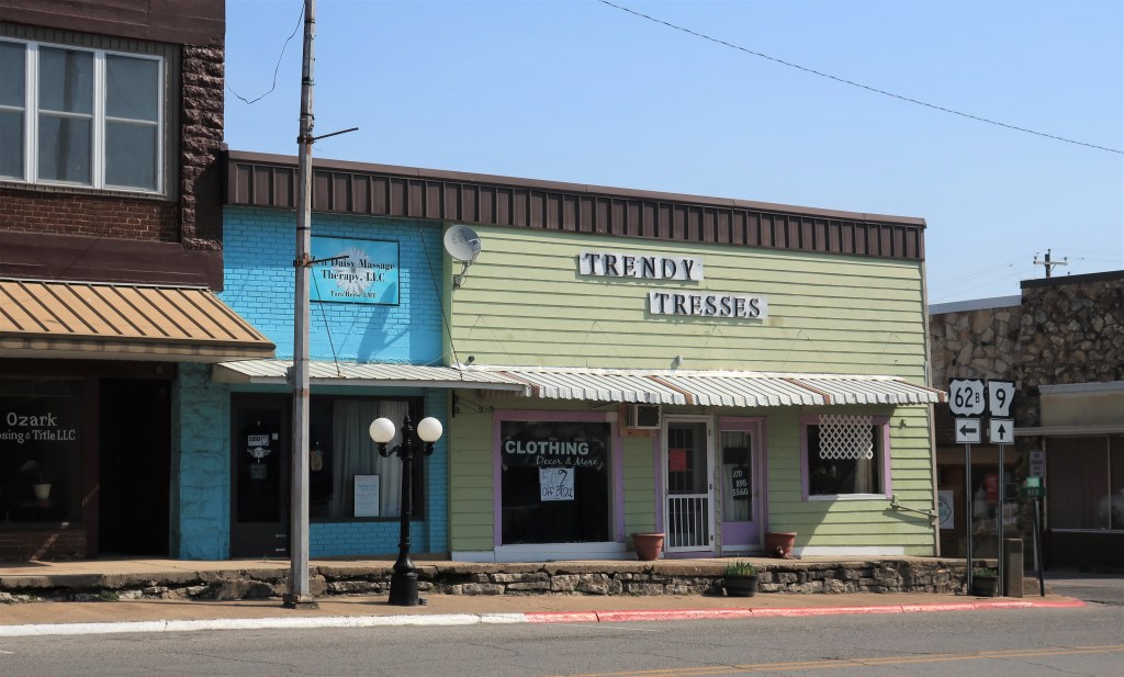
However, the true center of town is the hair salon down the street, “Trendy Tresses.” They’re doing a booming business.
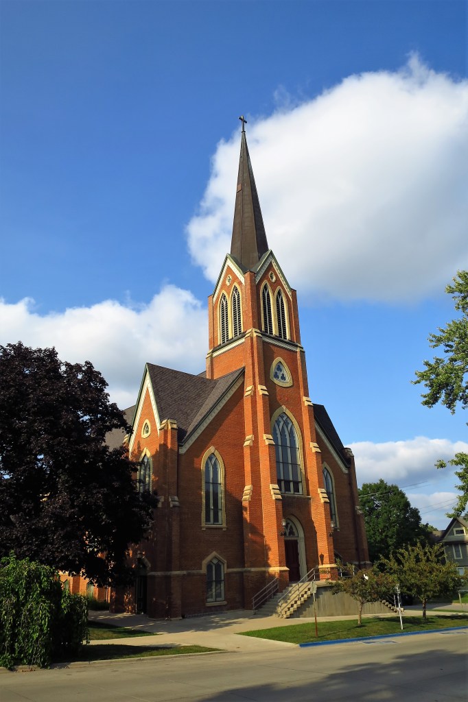
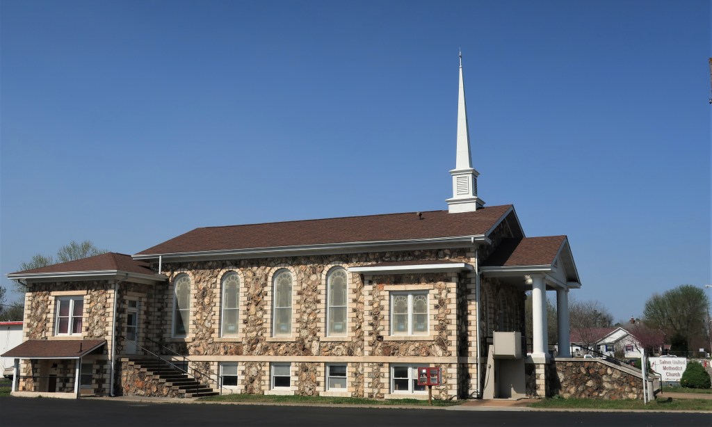
Across town square stands the picturesque Salem United Methodist Church. I love old stone buildings.
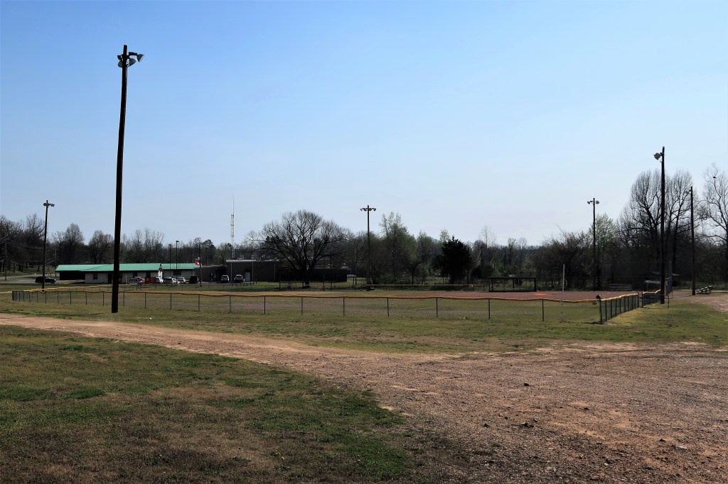
A half-mile from the Salem town square, Preacher Roe Park is the town baseball field, probably used for Little League and pony league games only these days.
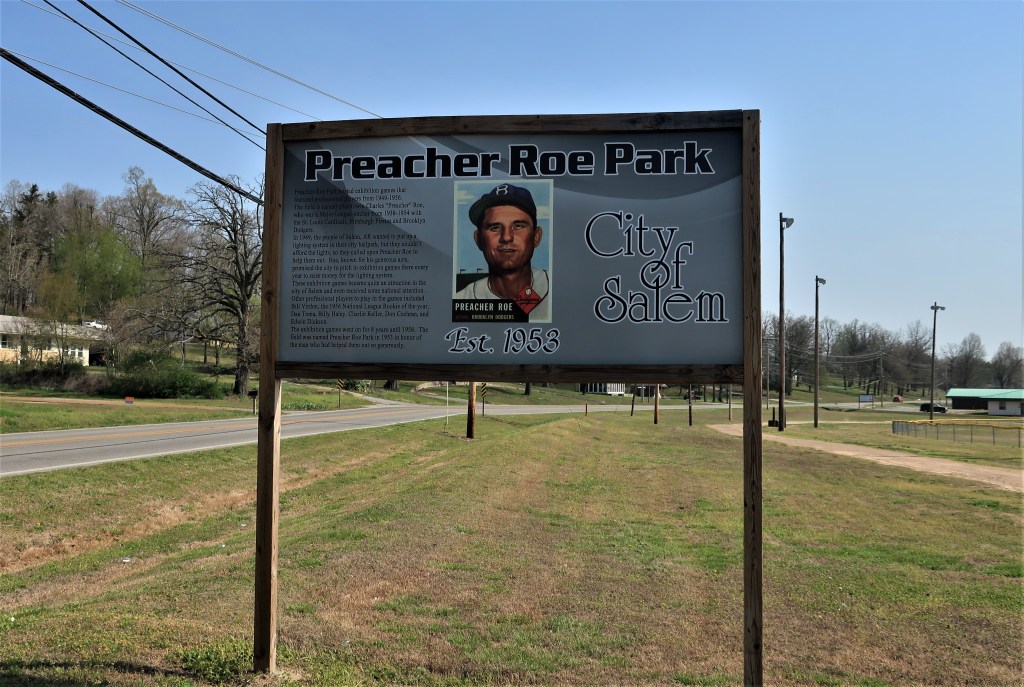
There is a historical sign by the park explaining how Preacher Roe, a famous major-league pitcher for the Brooklyn Dodgers in the 1950s, offered his time to help raise funds for lighting the park. He brought himself and some major league friends, including Pittsburgh Pirate Bill Virdon, to play exhibition games here in Salem. The funds were raised in a few years of games.
Here’s a little bit more about the old ballplayer, from Wikipedia:
“Roe was still pitching in the majors at age 39, unusual at the time, and was the third-oldest player in the National League in the 1954 season, his last in the majors. When asked to explain his longevity, he replied “Clean livin’ and the spitball.” He described his methodology in a 1955 article in Sports Illustrated, “The Outlawed Spitball Was My Money Pitch”, published a year after he retired.”
Clean living and the spitball. Life is a knot of paradoxes.
Hope you enjoyed this walk around Salem. Here’s a link to Salem’s Chamber of Commerce site. Quite a bit different than Salem, Massachusetts, don’t you think?
All photos were taken by the author on April 18, 2018.
A list of all photo posts from the American County Seats series in TimManBlog can be found here.
I travel as a hobby — donations are happily accepted if you’d like to help defer my costs.
Thanks,
Tim
Make a one-time donation
Make a monthly donation
Make a yearly donation
Choose an amount
Or enter a custom amount
Your contribution is appreciated.
Your contribution is appreciated.
Your contribution is appreciated.
DonateDonate monthlyDonate yearly