Exploring Knoxville: A Vibrant Spring Adventure
Please consider donating to support my travels using the form at the bottom of the post. PayPal, Visa, American Express, Mastercard, Discover, and Maestro are accepted. Thank you.
March 30, 2026
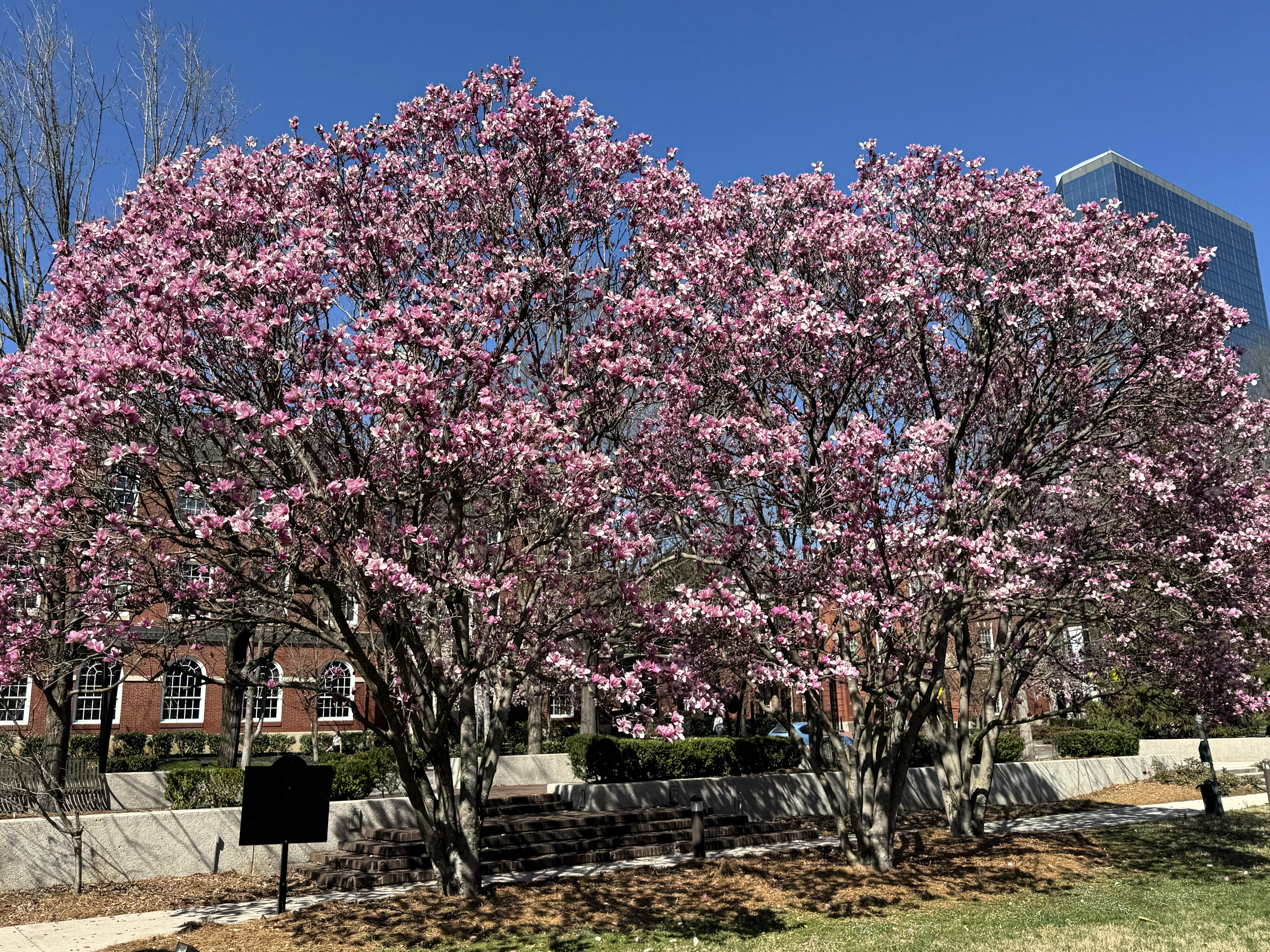
Welcome to Knoxville! The month of March in eastern Tennessee, especially in the valleys west of the Great Smoky Mountains, offers visitors a very colorful early spring, with red, white, and pink flowers on early-blossoming trees. I was here on March 12th of 2025 and spent a few hours walking around town.
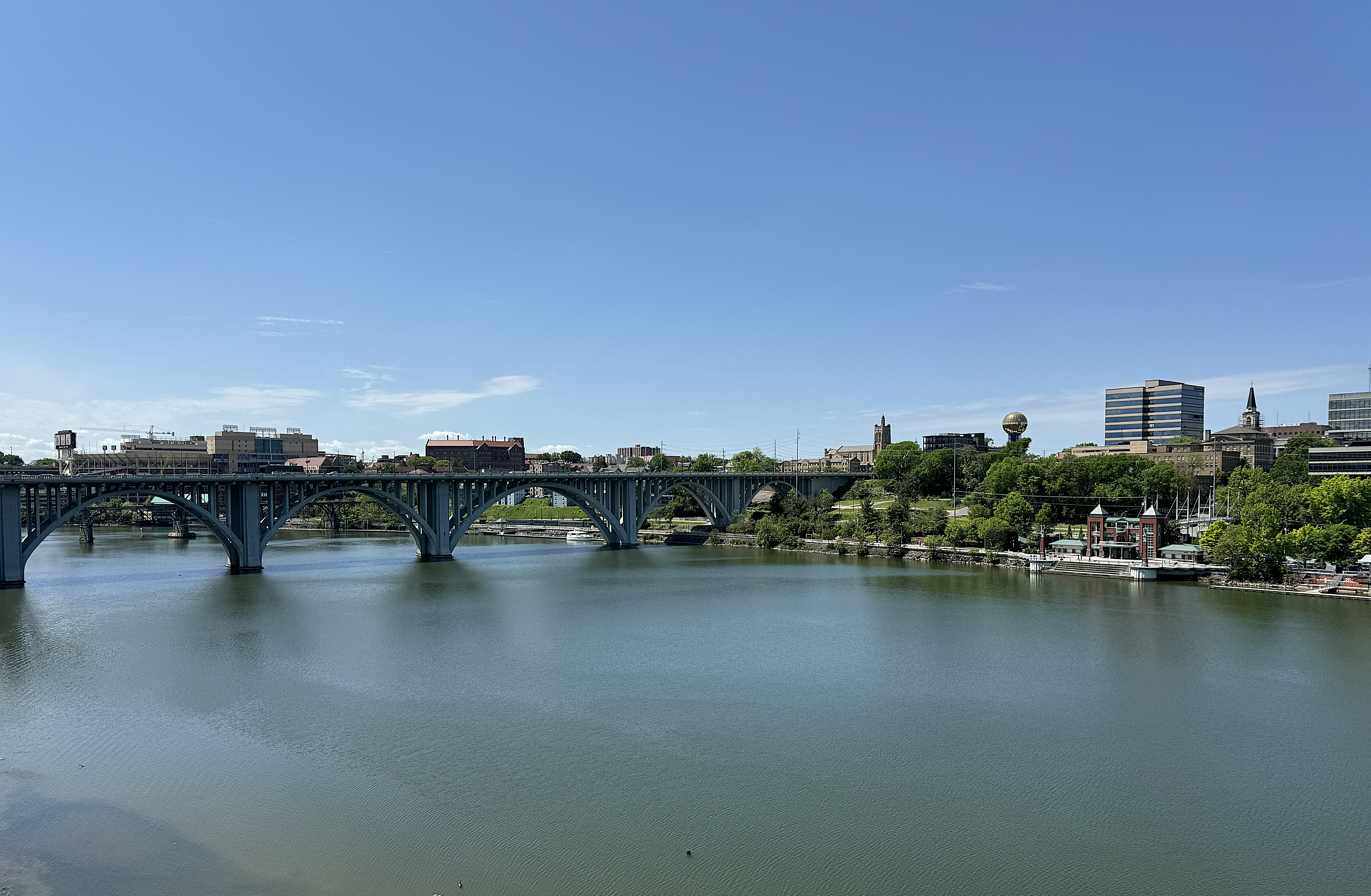
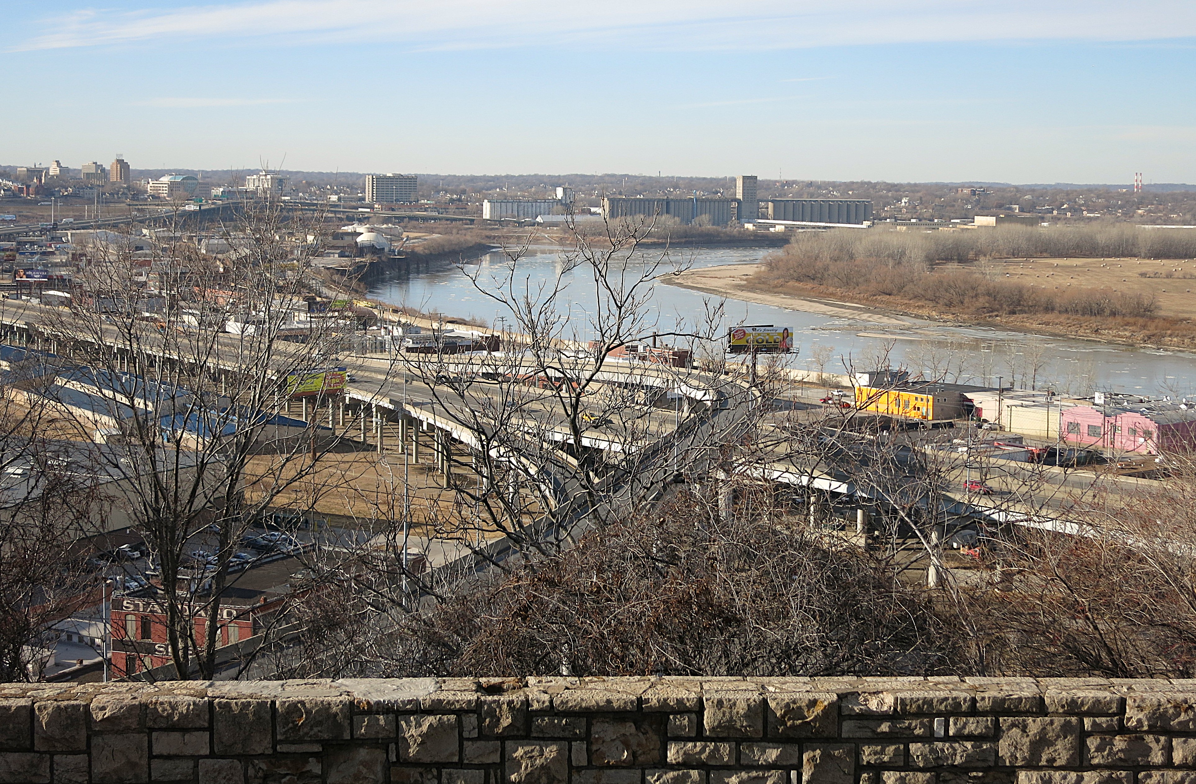
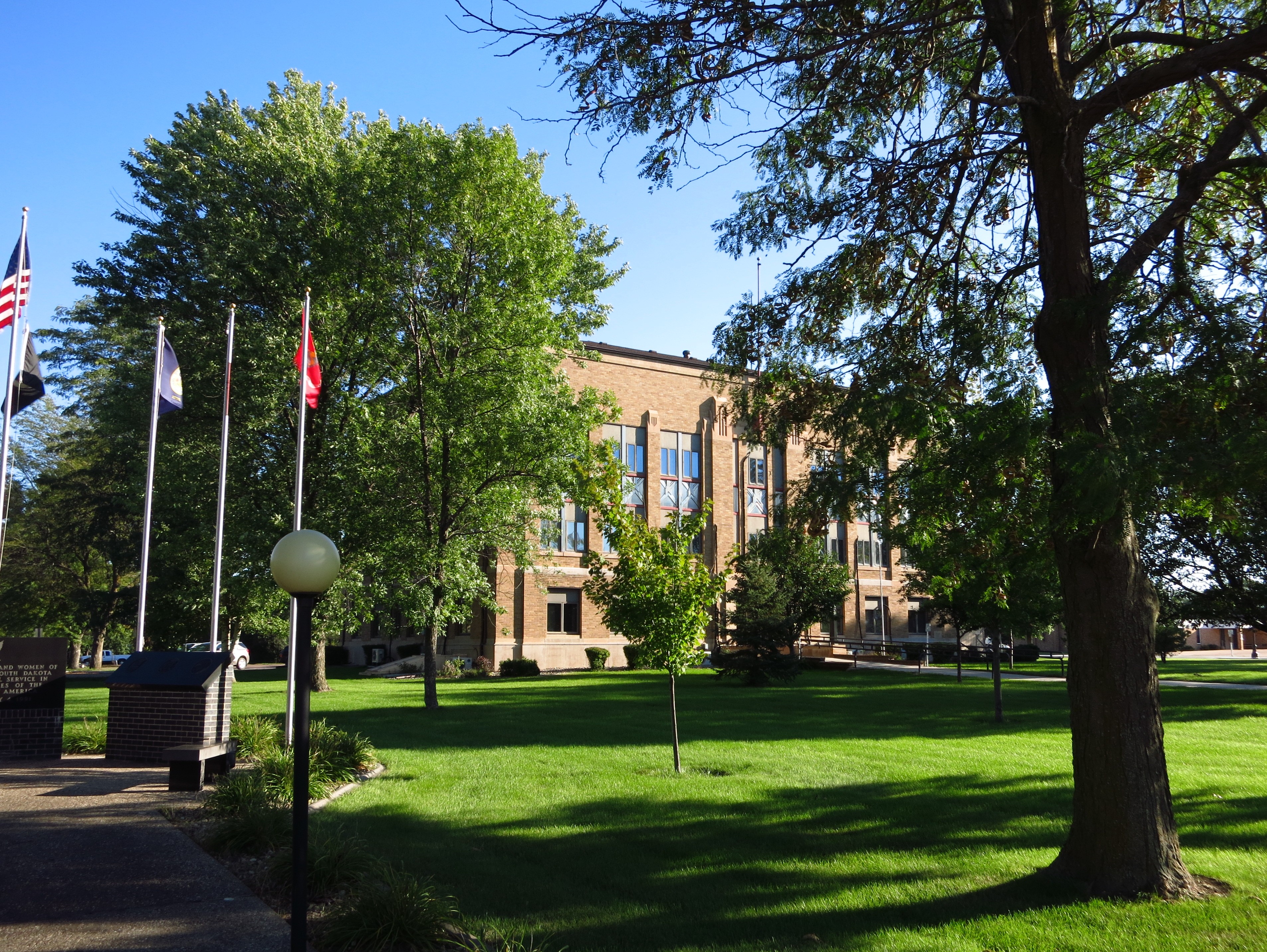
The courthouse area of Knoxville is situated atop a cliff overlooking the Tennessee River. Across the river, on the bluff overlooking the south side, are several new apartments and student housing buildings. Many of these are six stories high. Not only is Knoxville home to the University of Tennessee, but it is also a fast-growing city and a destination for recent emigrants from other states, including retirees and “blue-state refugees.”
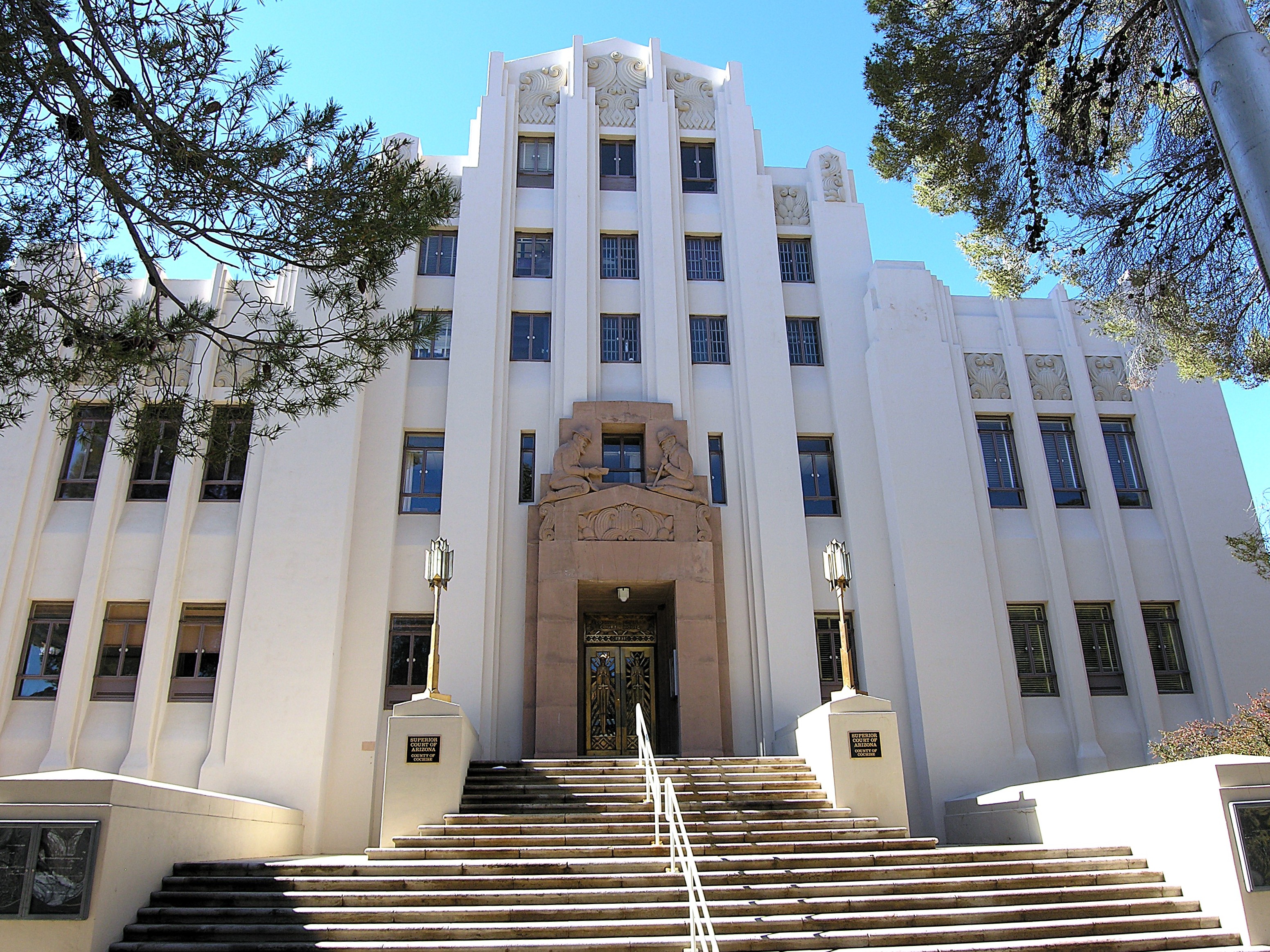
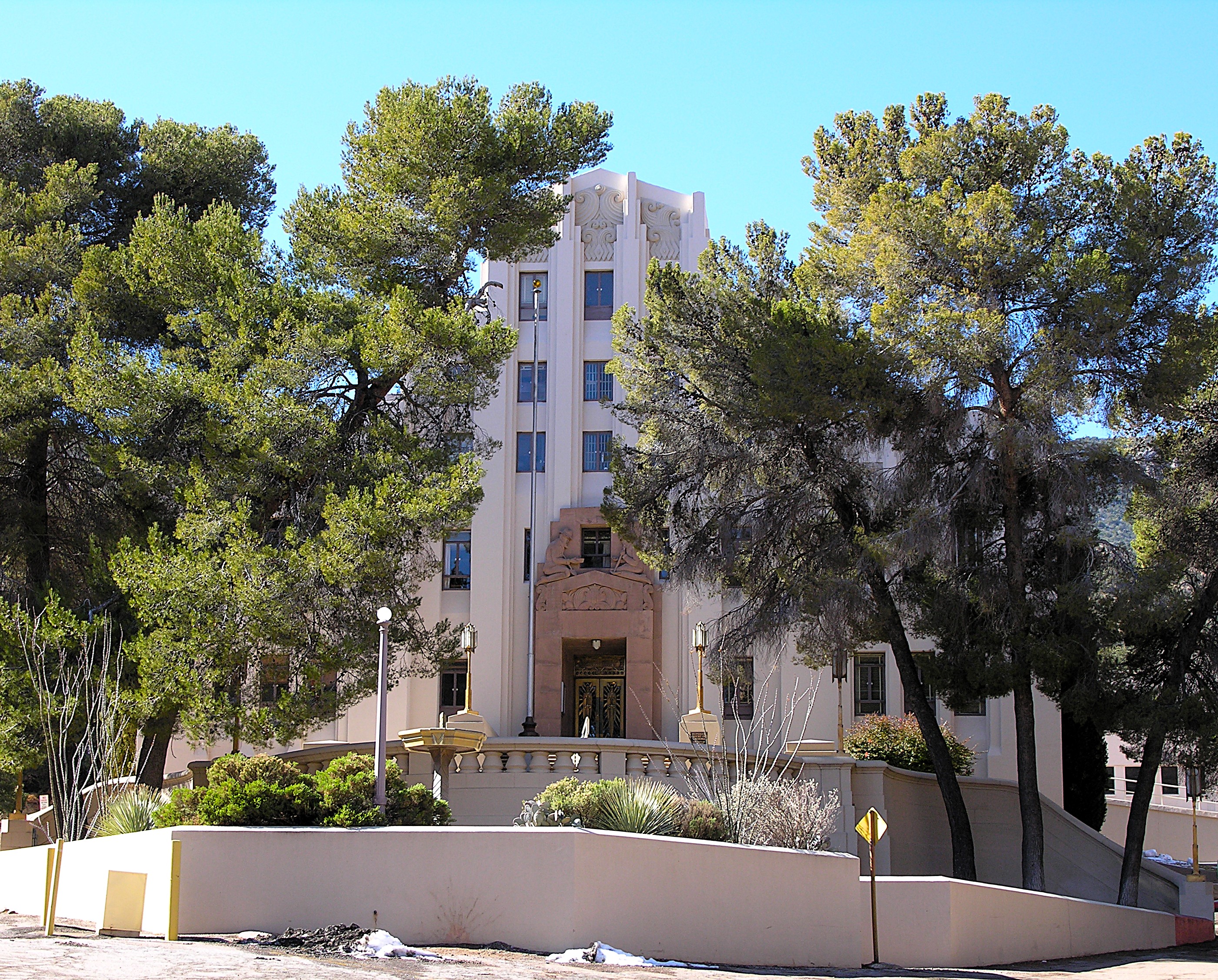
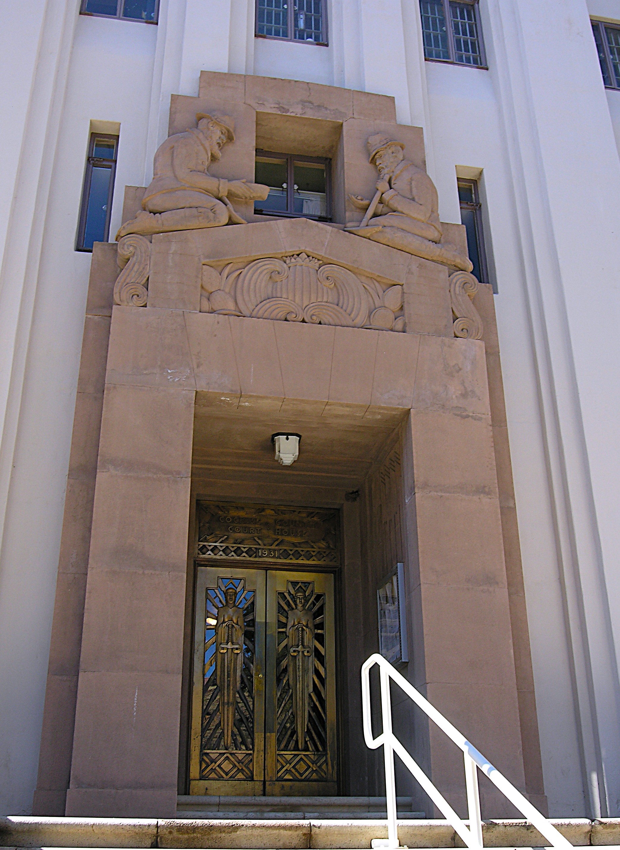
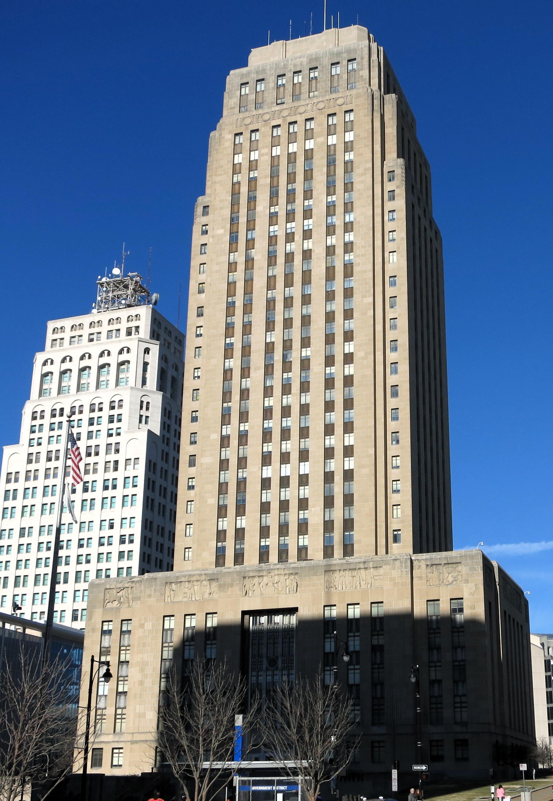
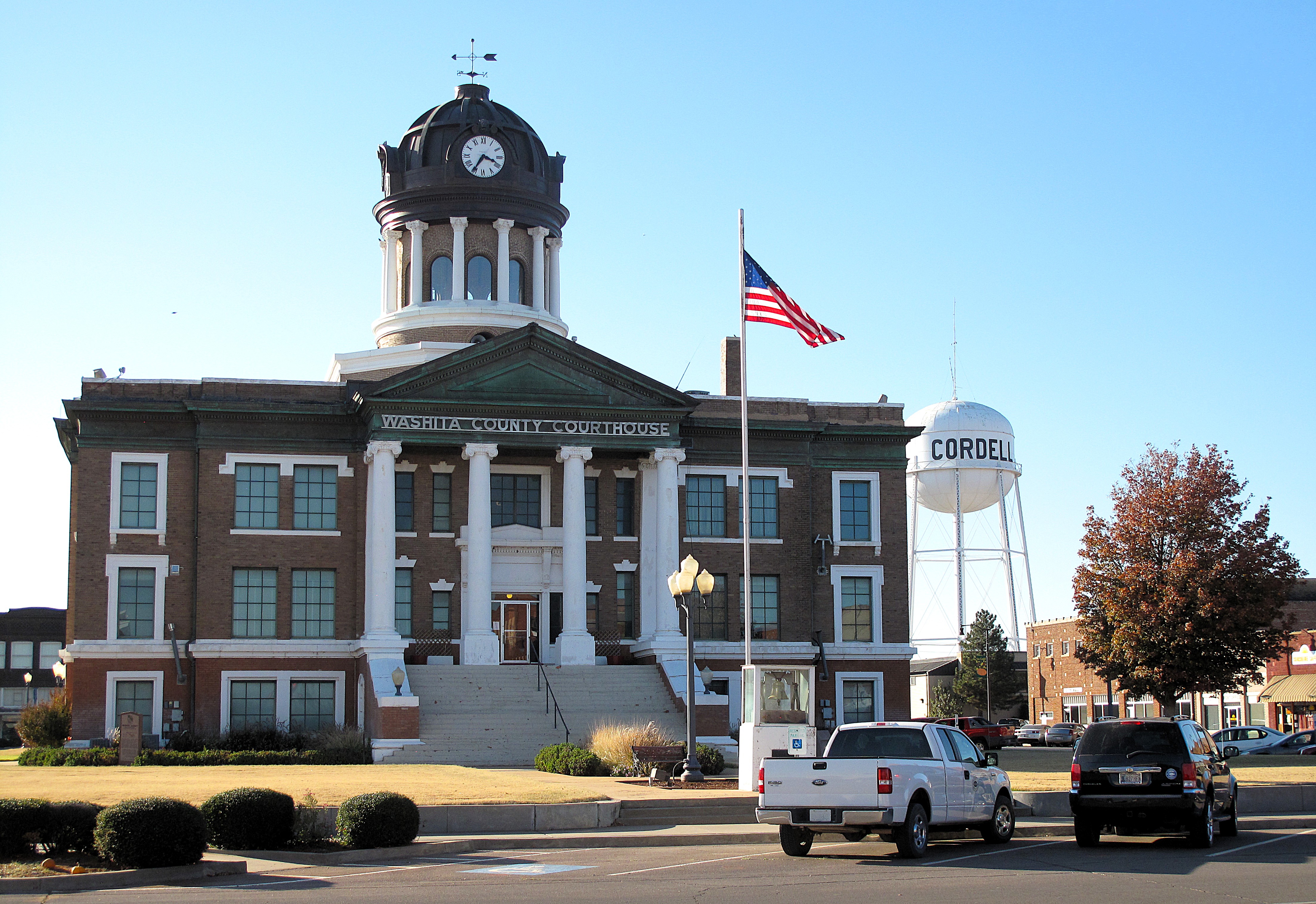
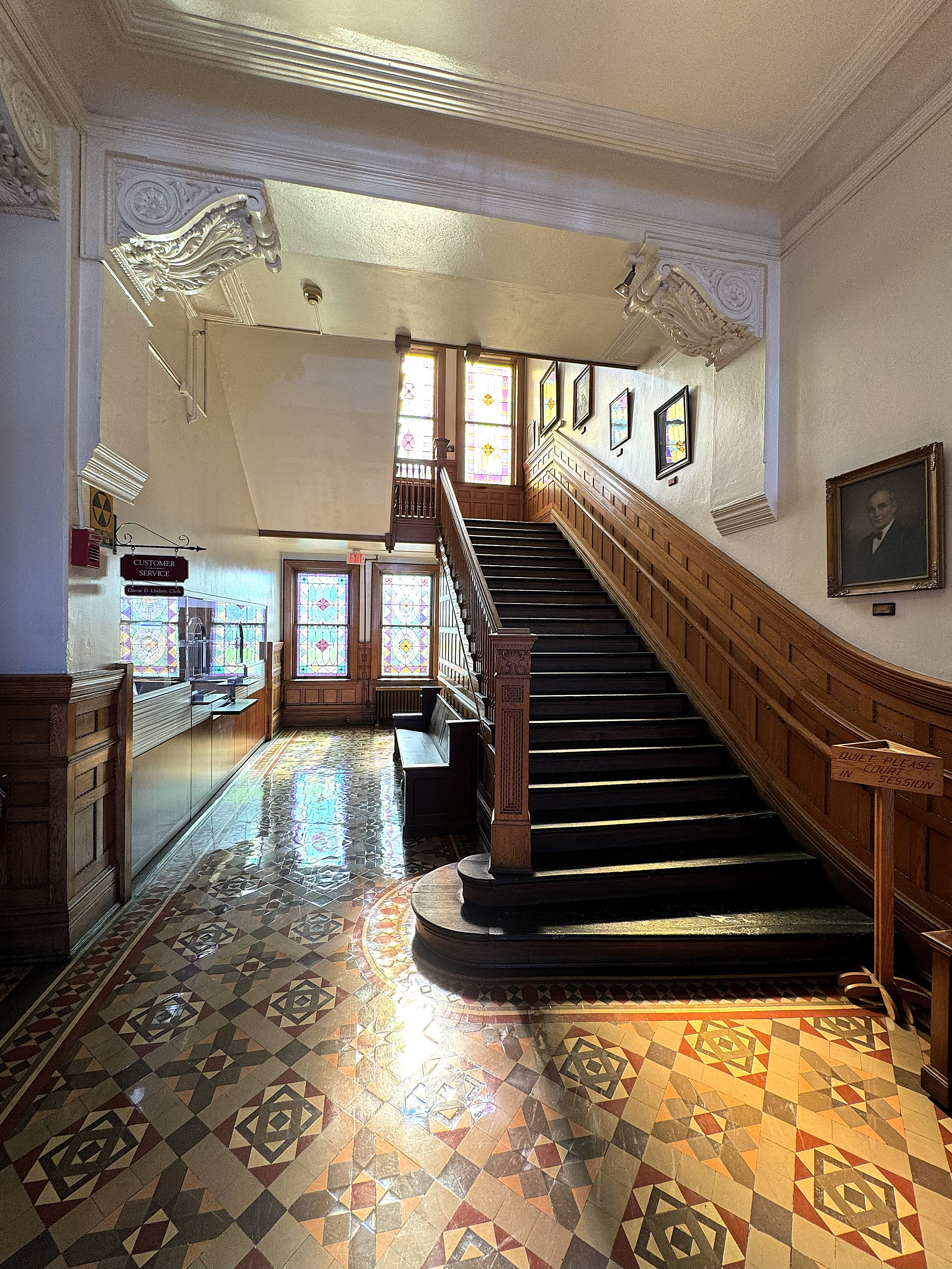
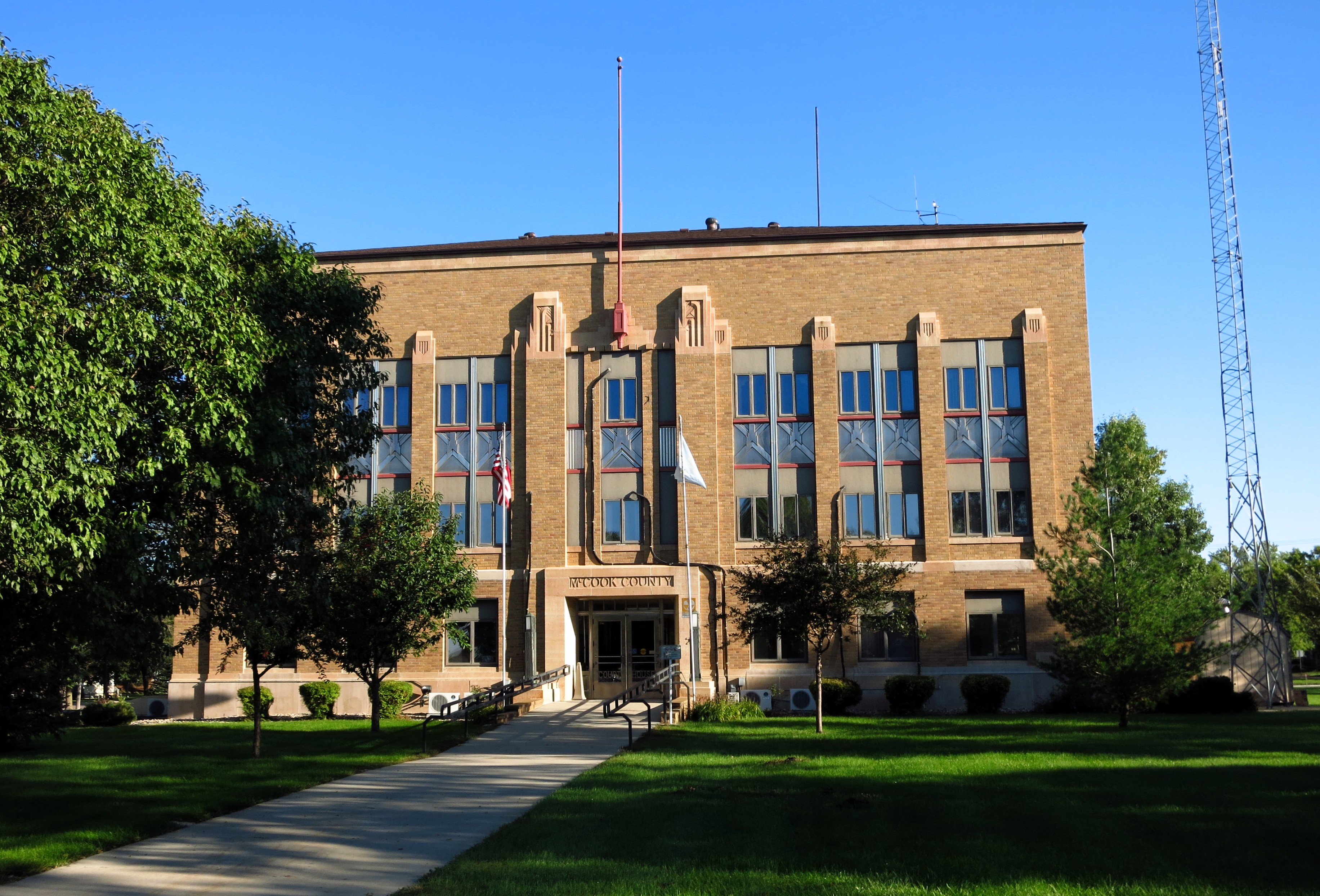
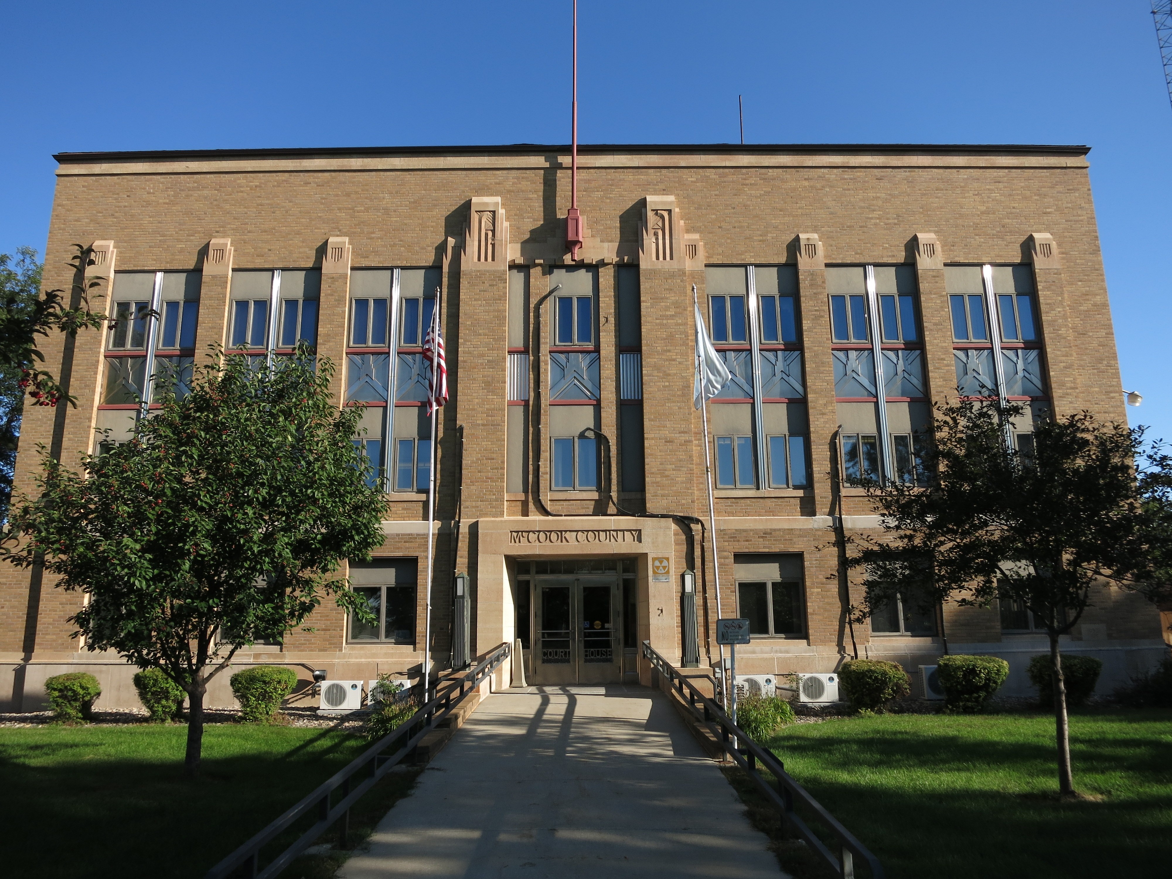
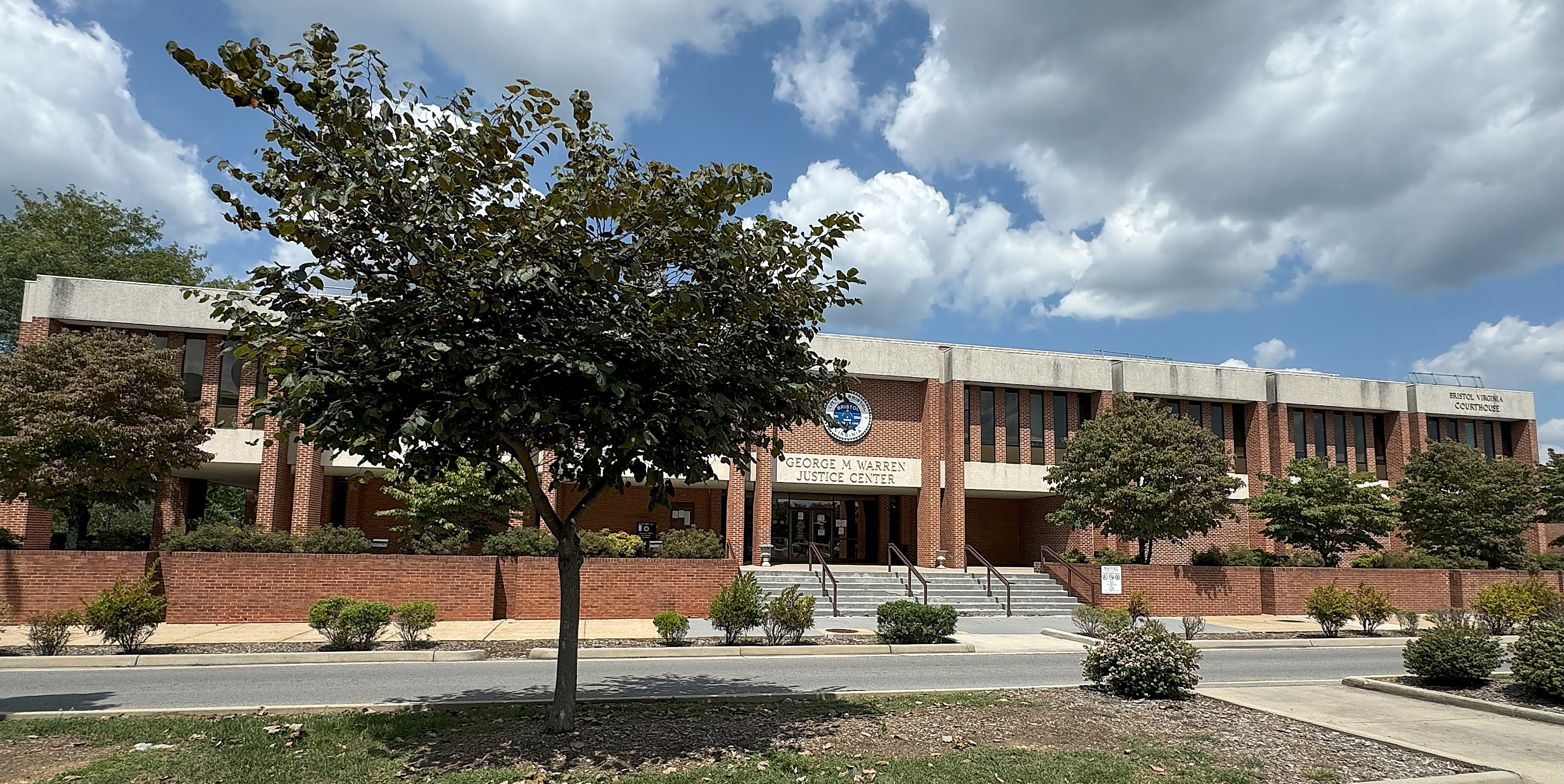
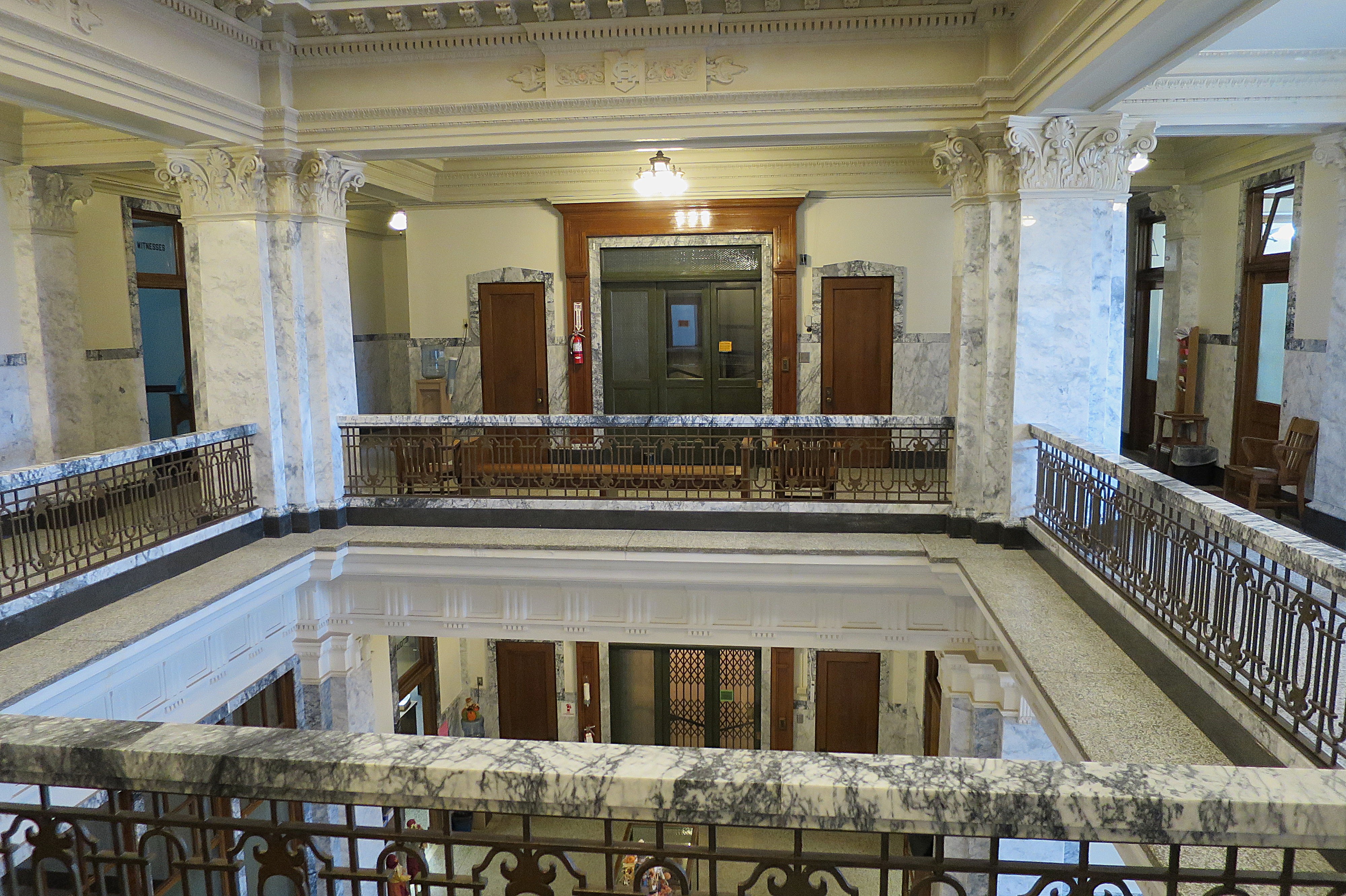
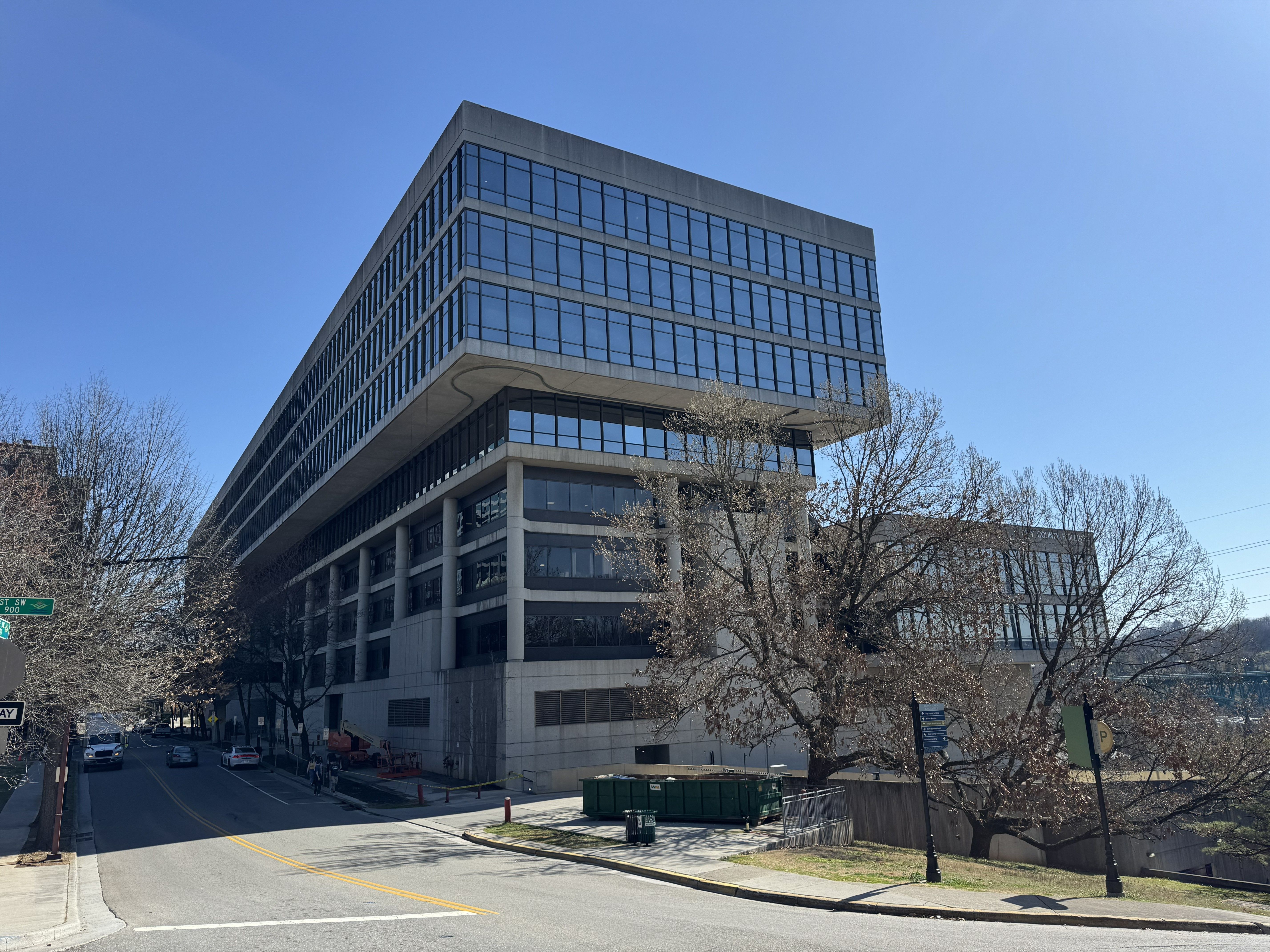
Knoxville and the surrounding Knox County have a population of just over half a million persons. Their county courthouse (technically the city-county building) is a massive structure with three floors of offices at the top levels and several parking floors below the office floors. I’ll admit I’m more of a fan of classical than modern architecture, so I wasn’t immediately thrilled with this building’s odd shape and liberal use of concrete. However, the design may be the best available layout for a large building forced to reside on a small footprint perched next to a 100-foot cliff.
I started my tour at the Knox County Courthouse, which stands at the edge of a bluff overlooking the Tennessee River far below.
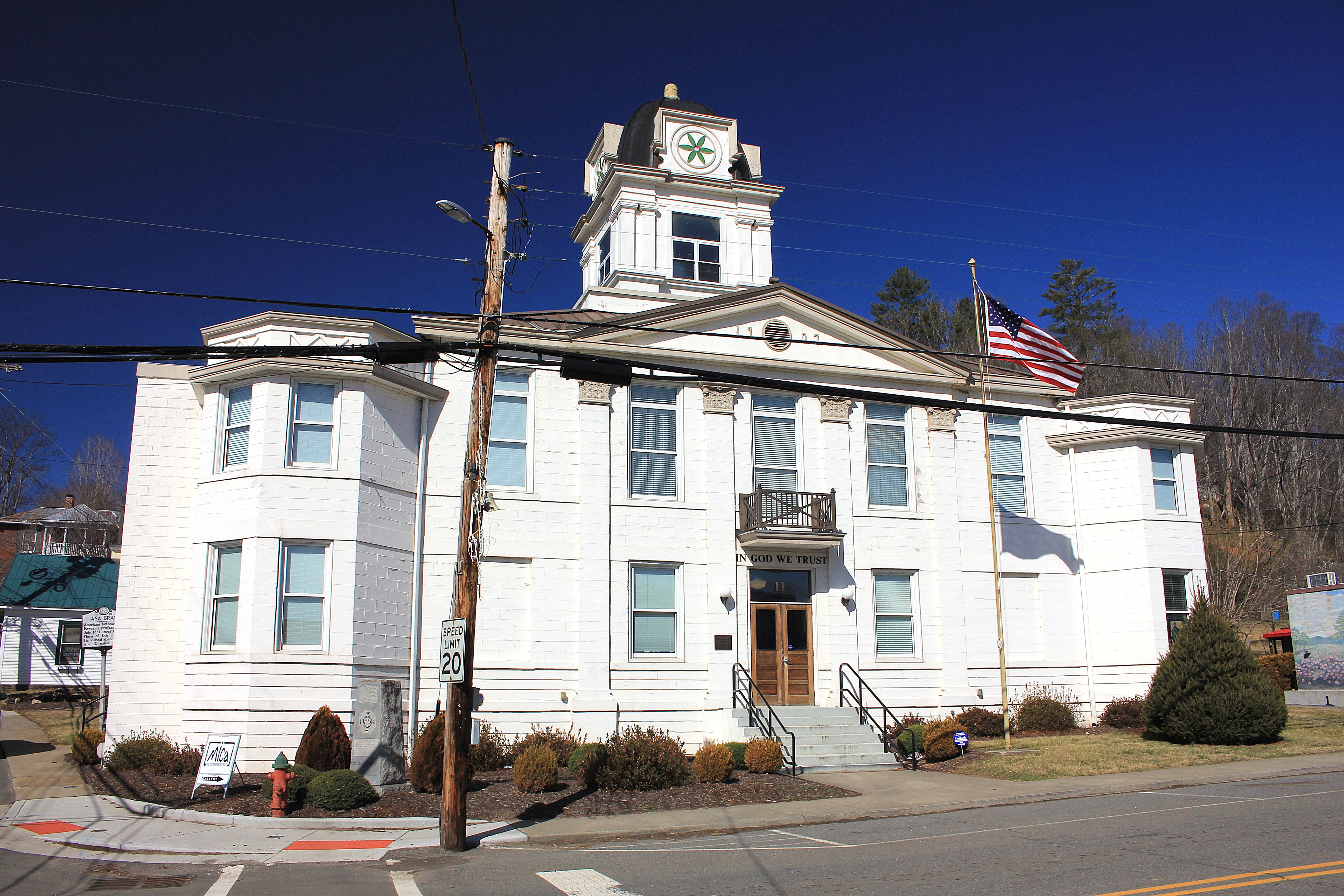
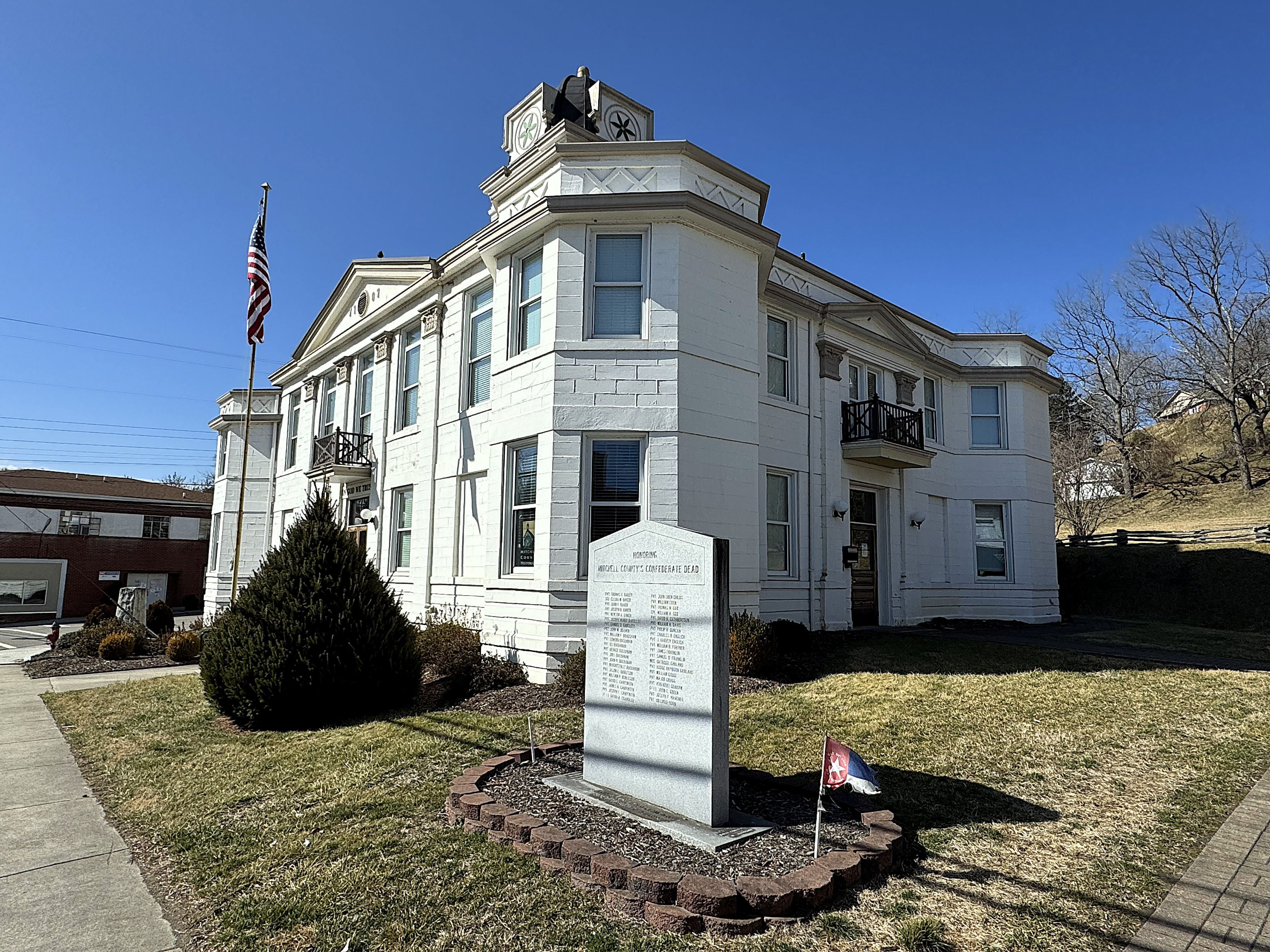
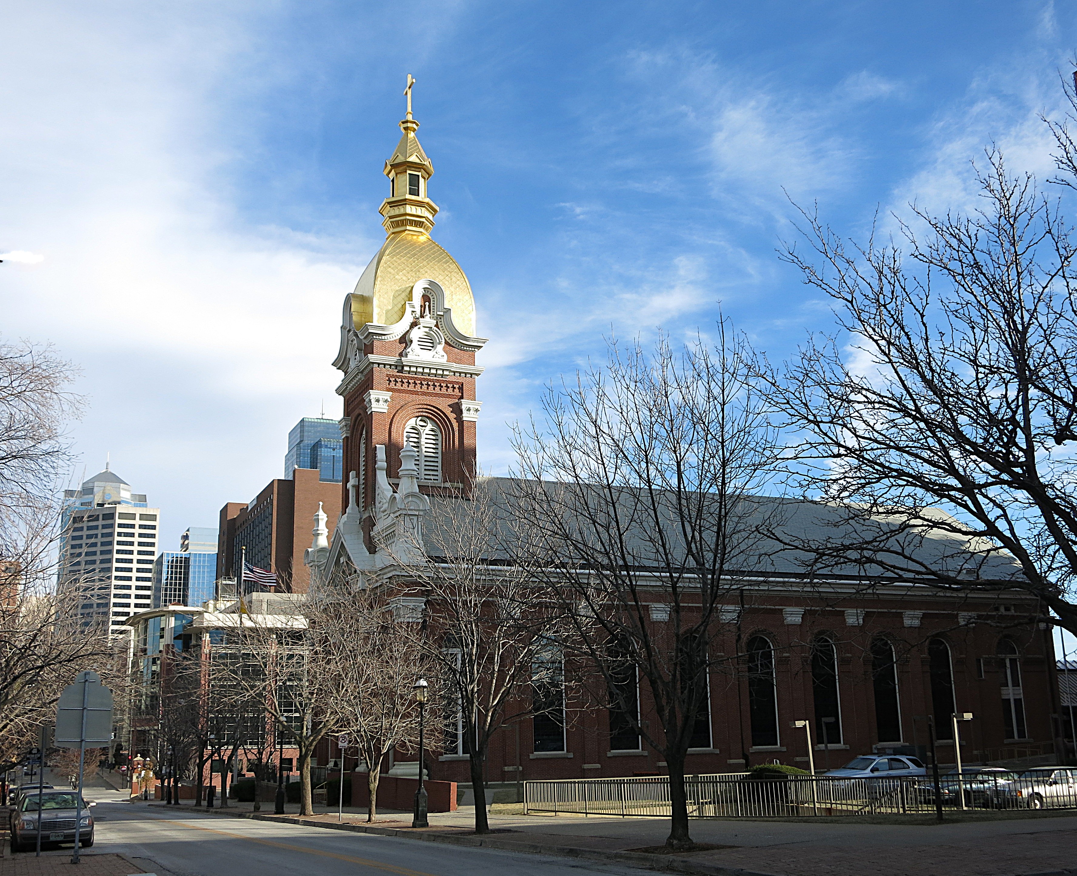
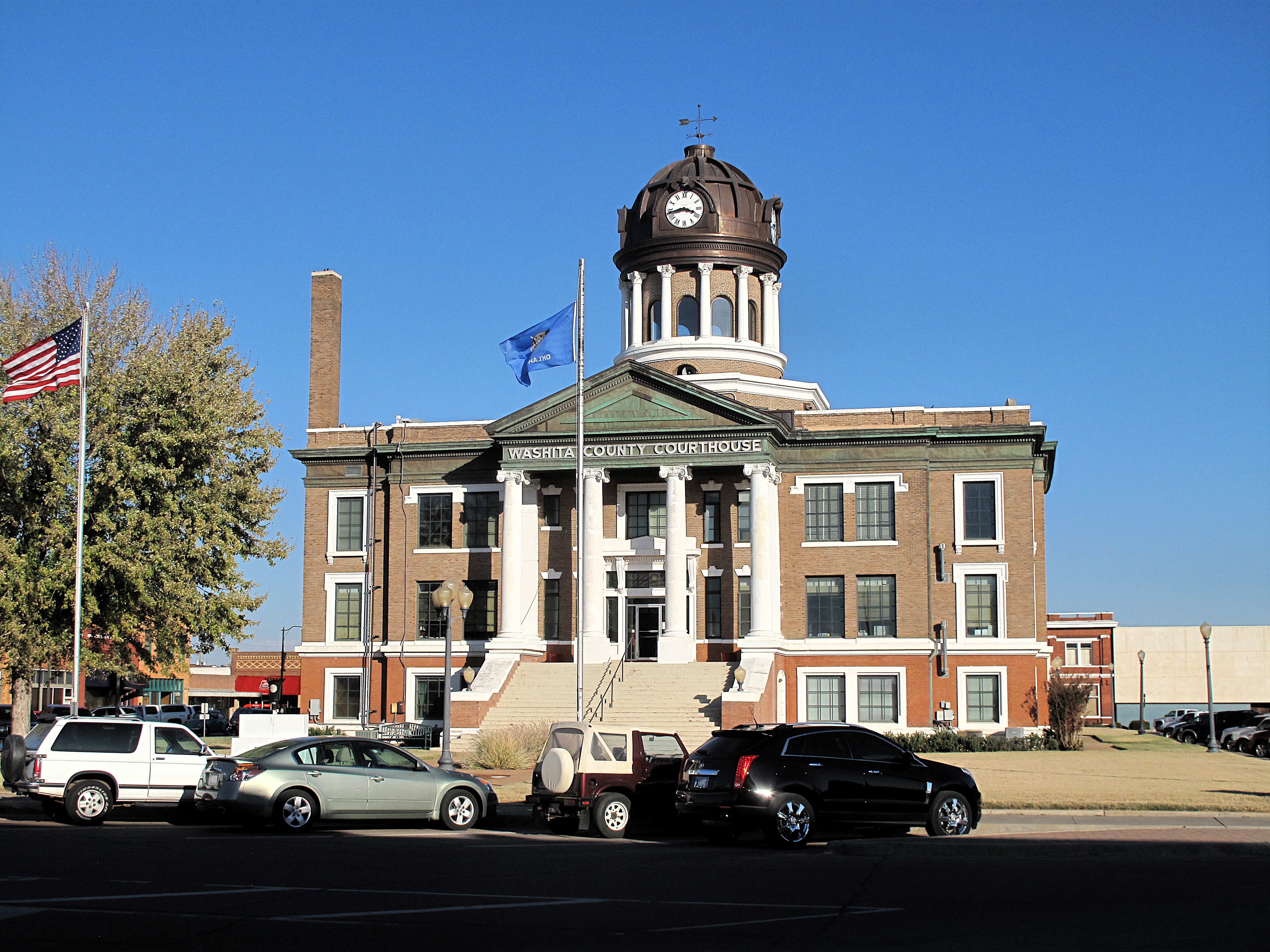
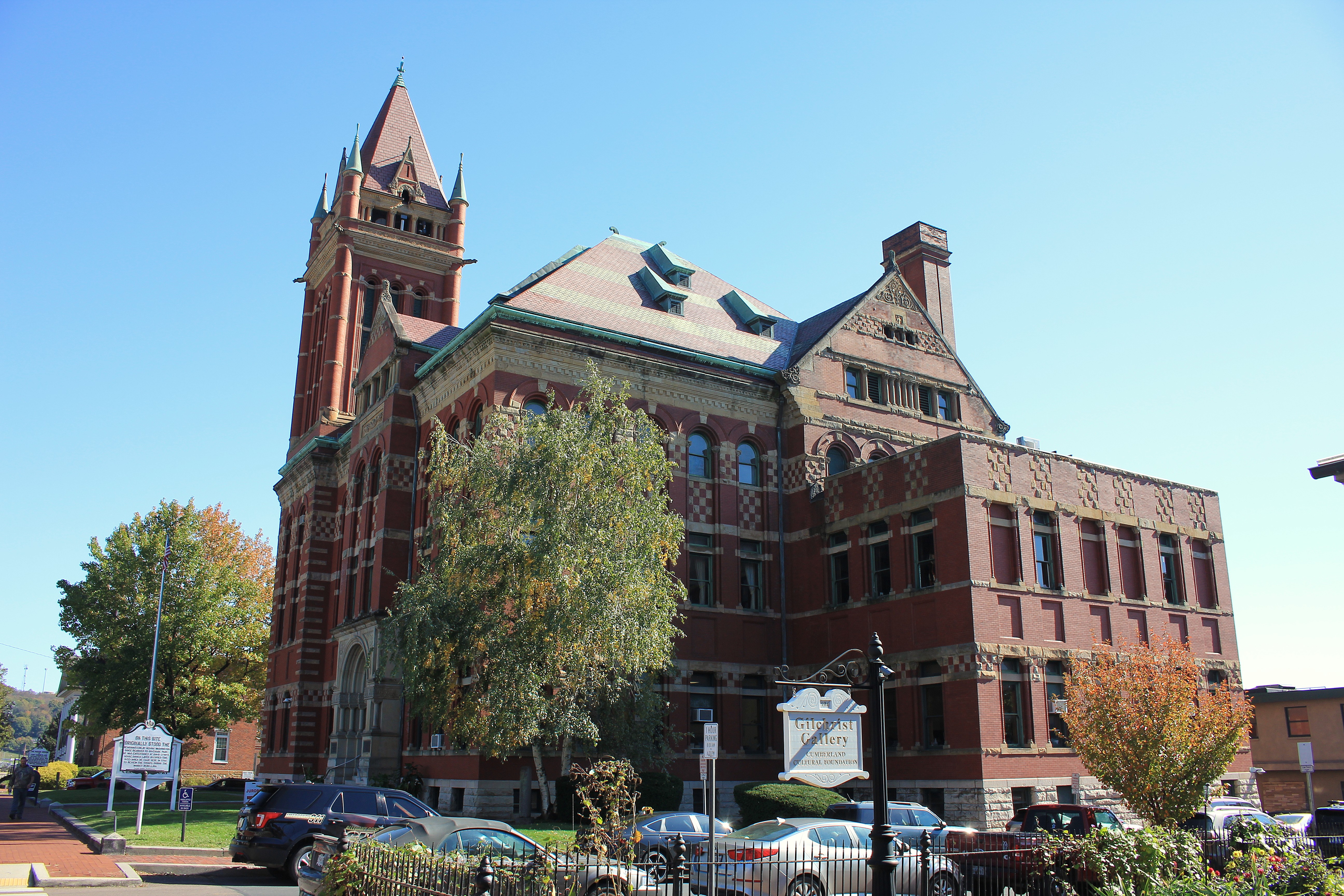
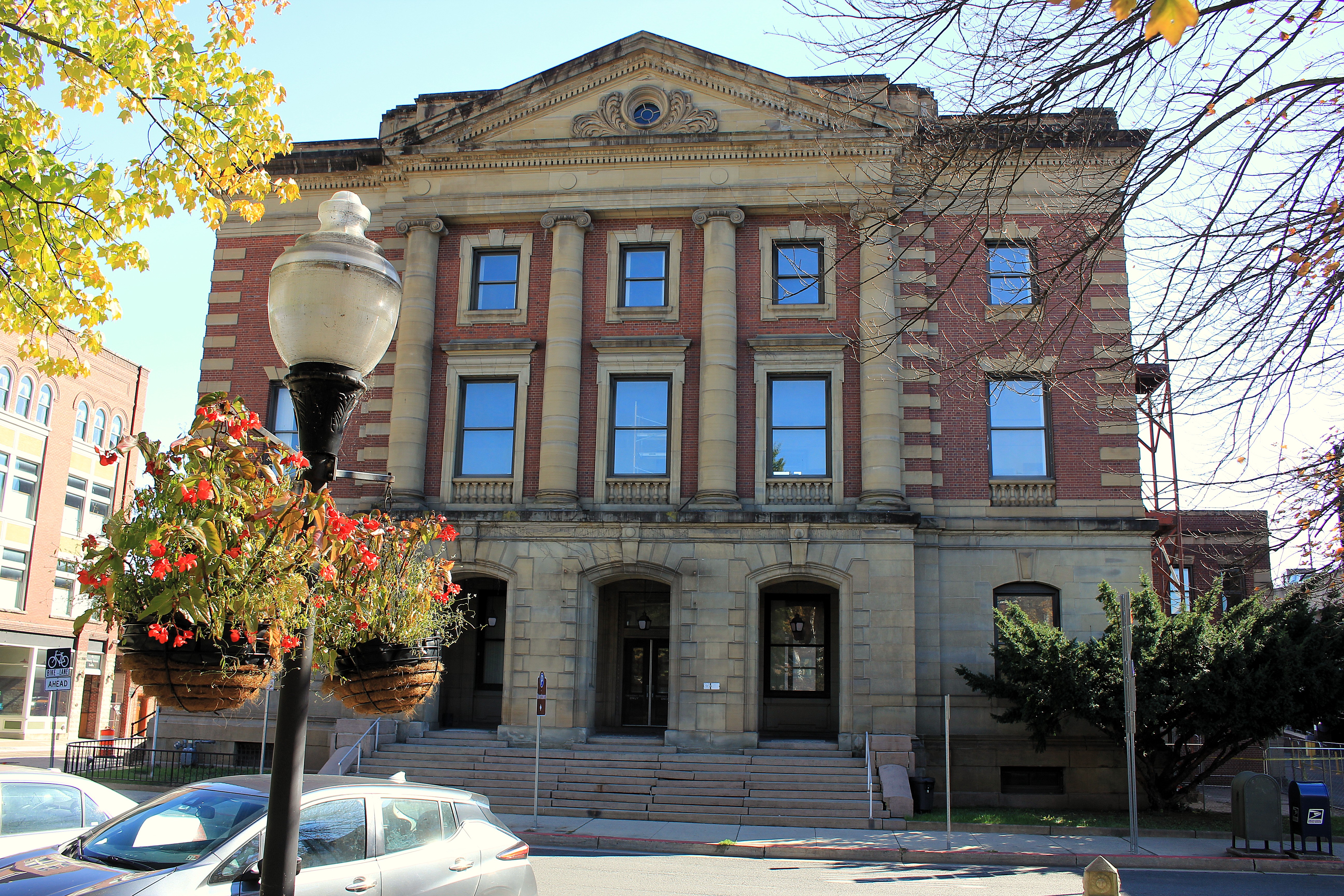
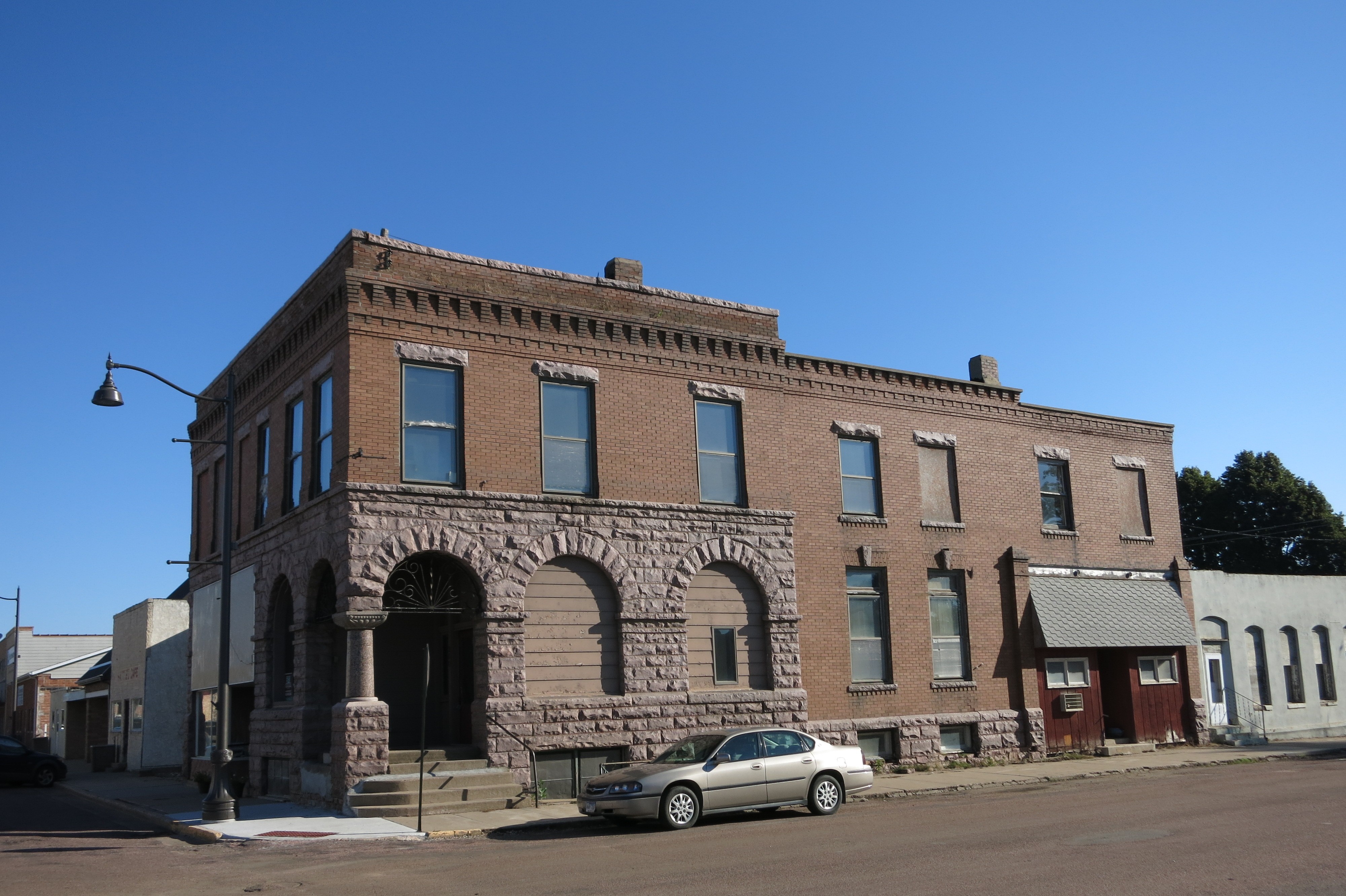
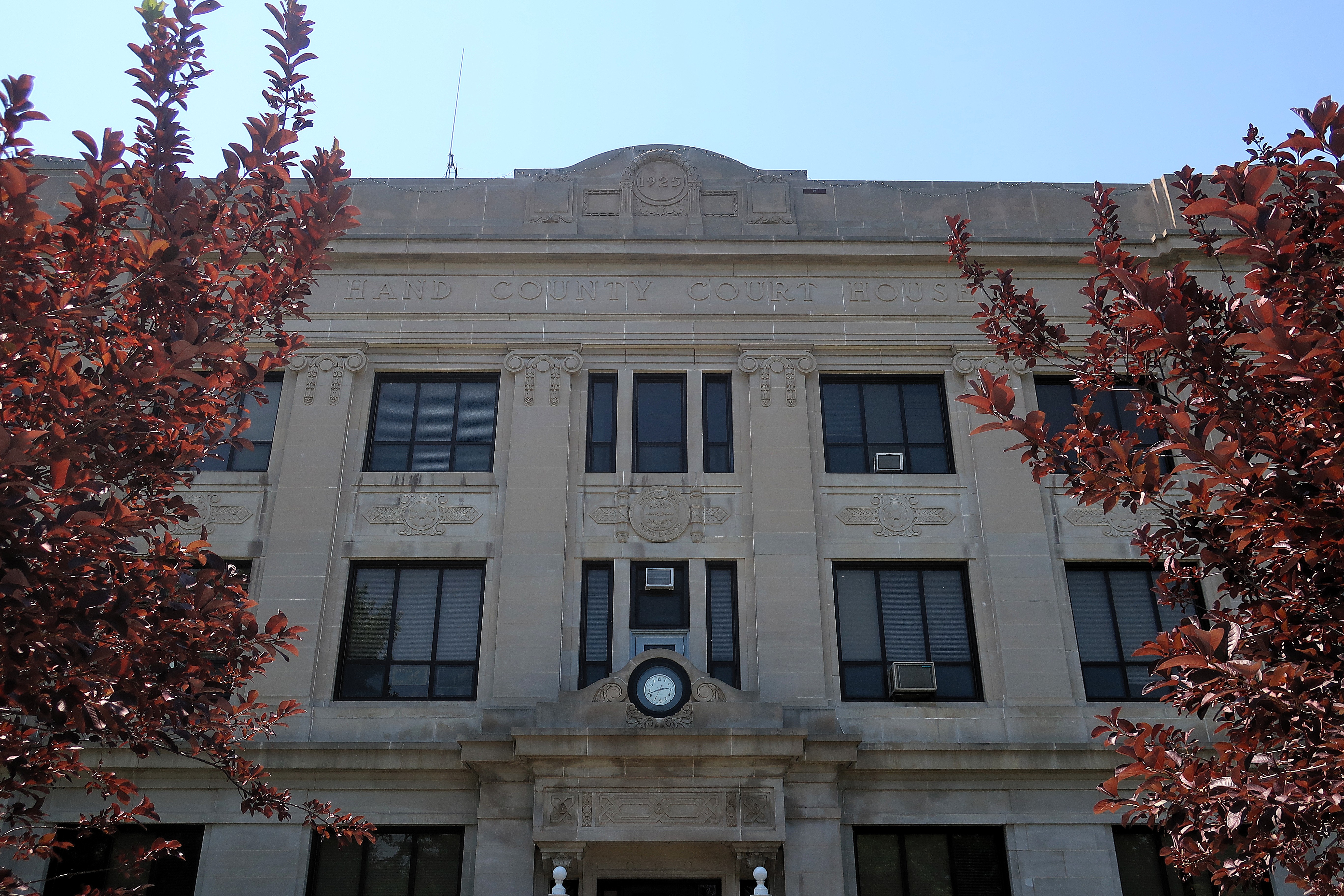
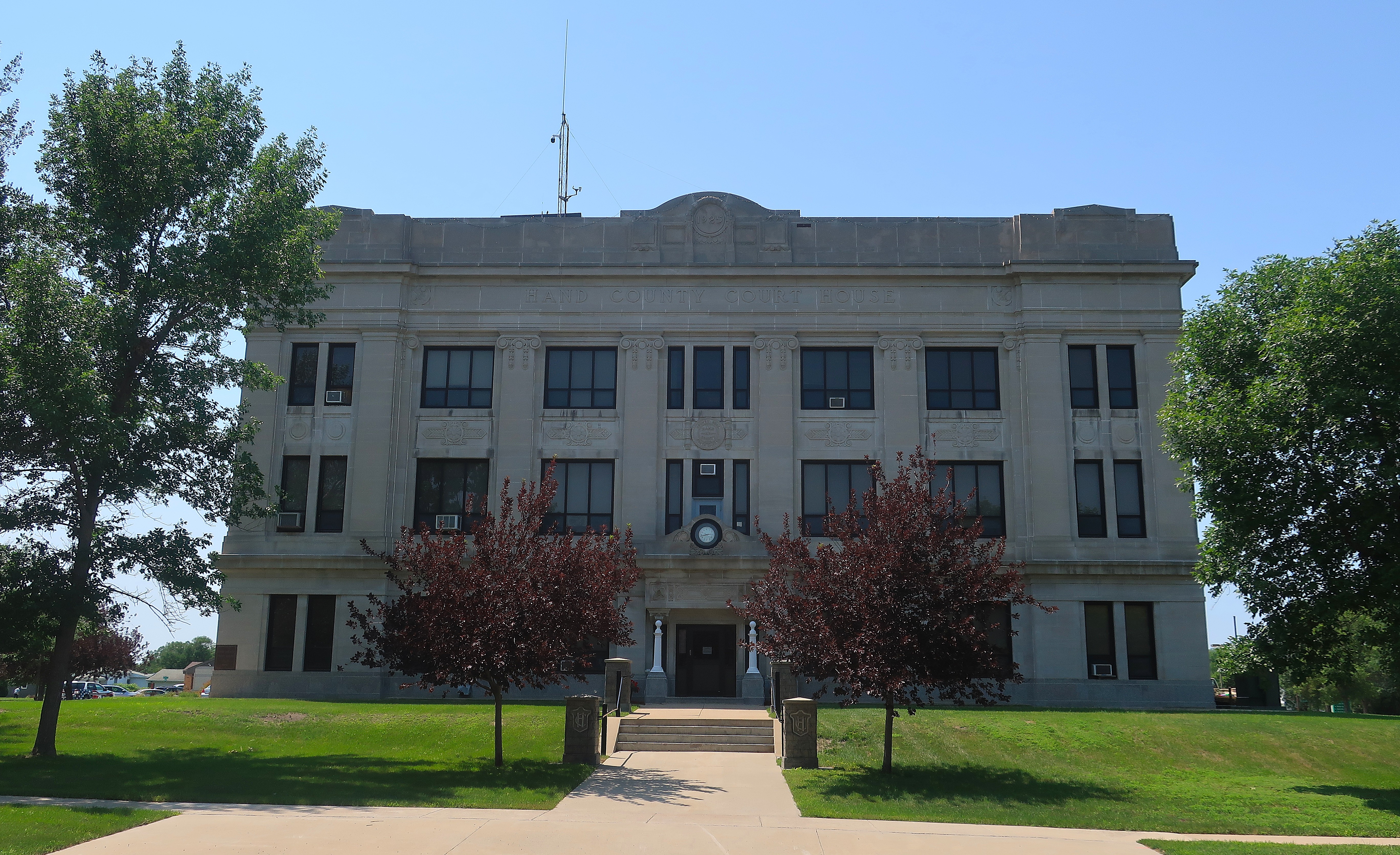
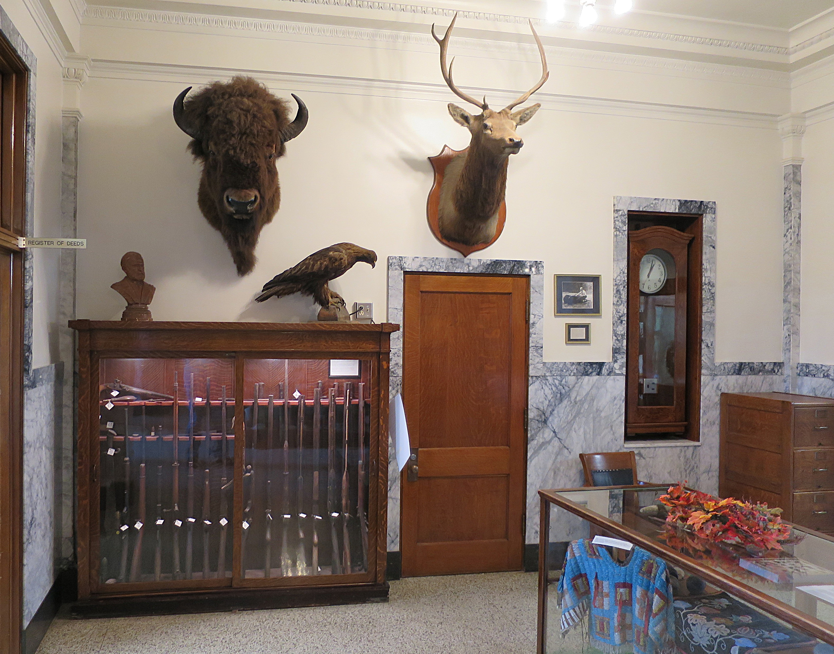
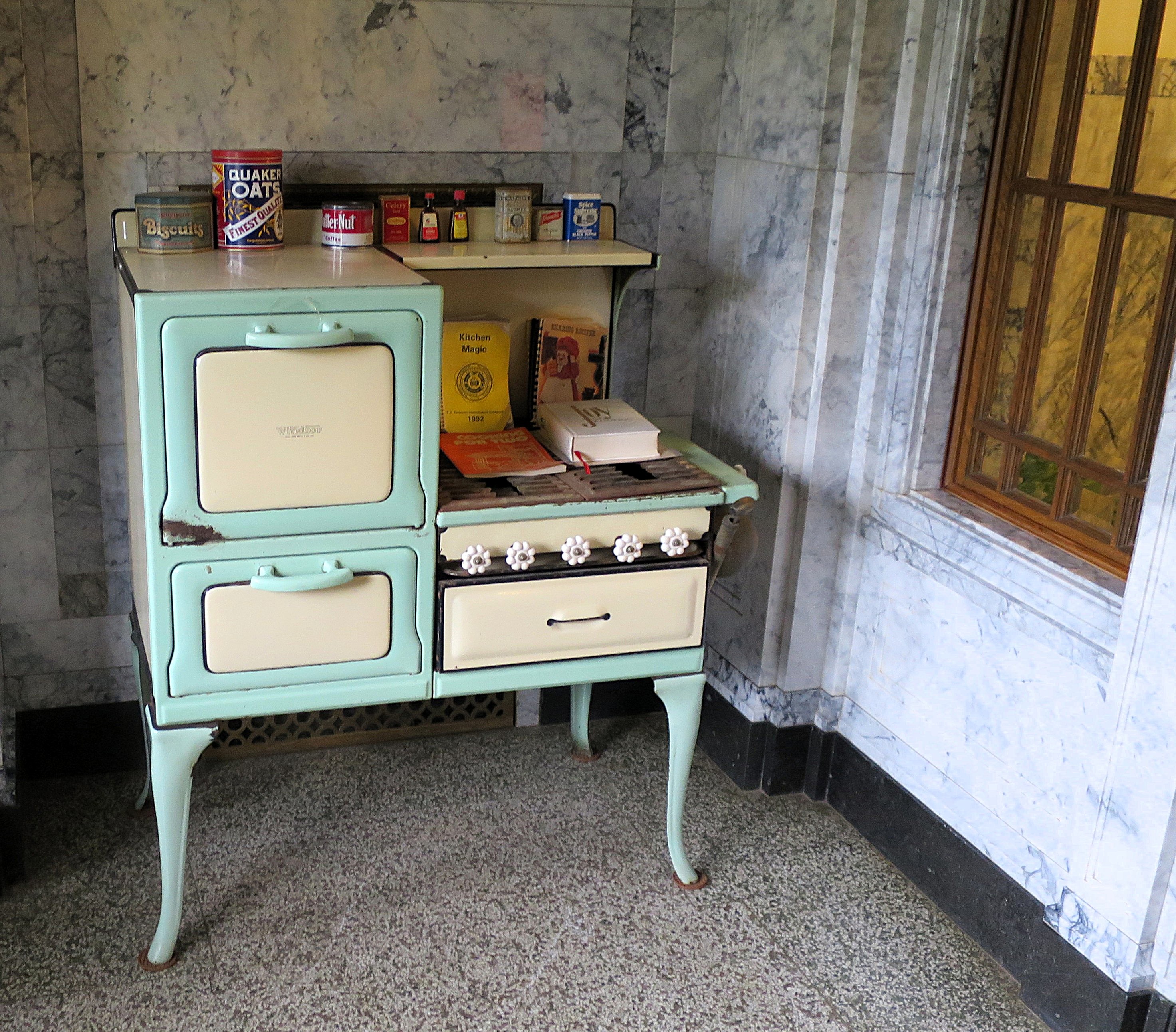
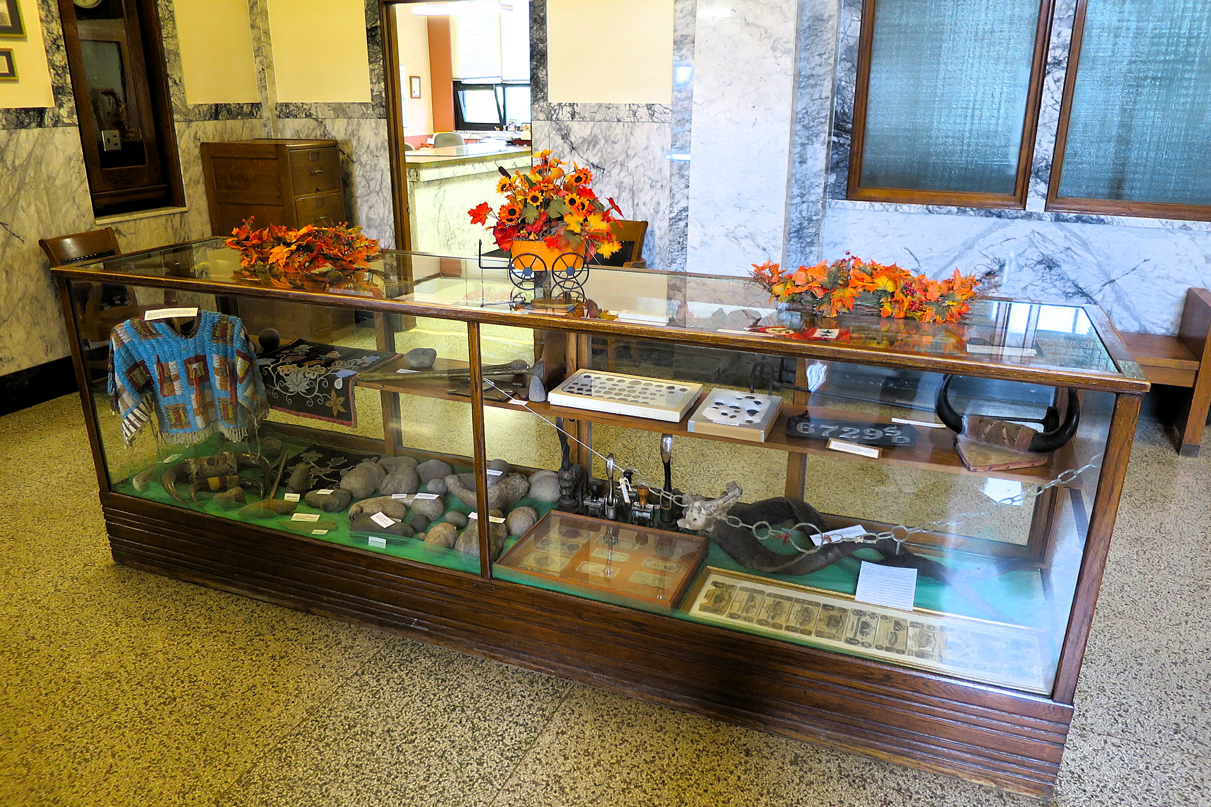
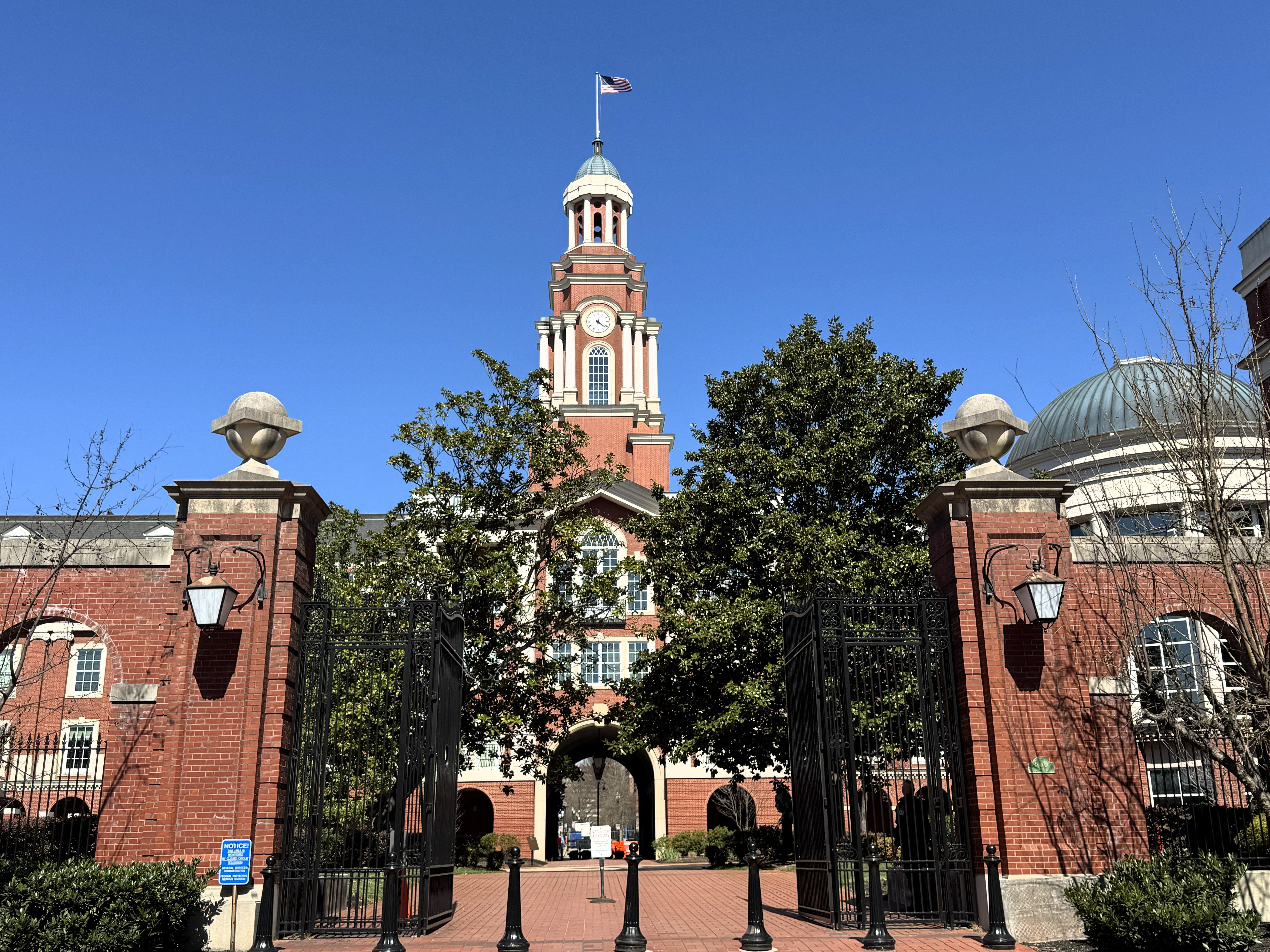
The former courthouse is next door. It was built in 1895, features a central bell tower and a weathervane that make it look like a building from America’s colonial era.
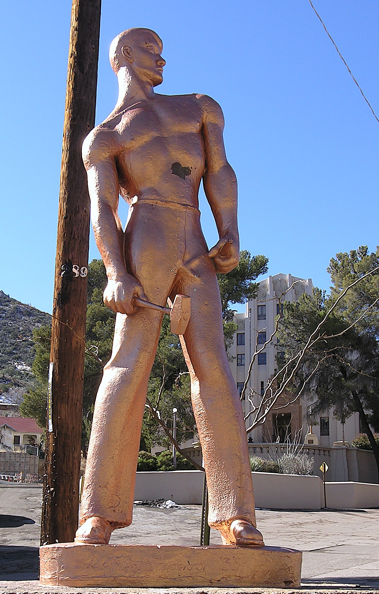
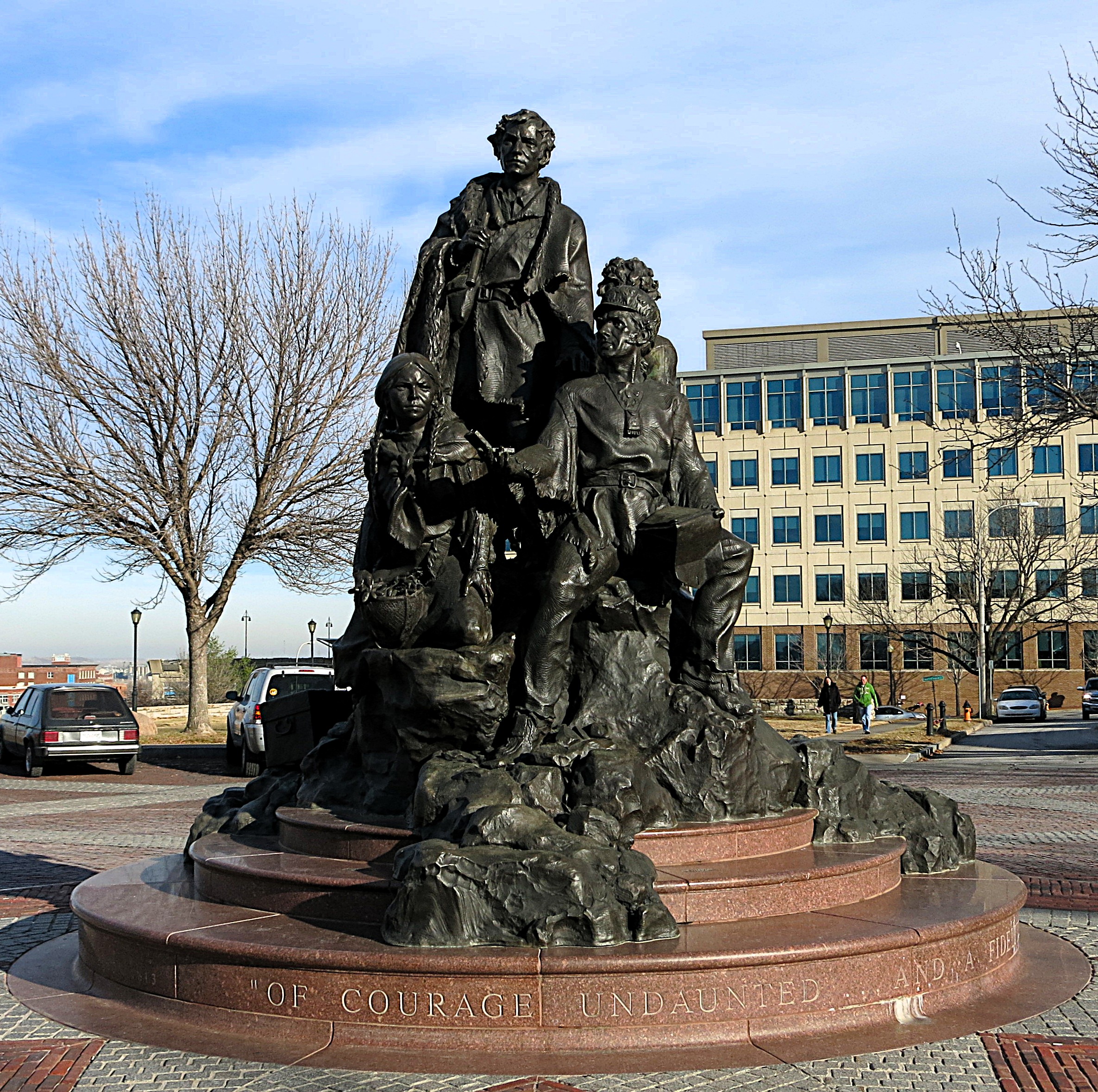
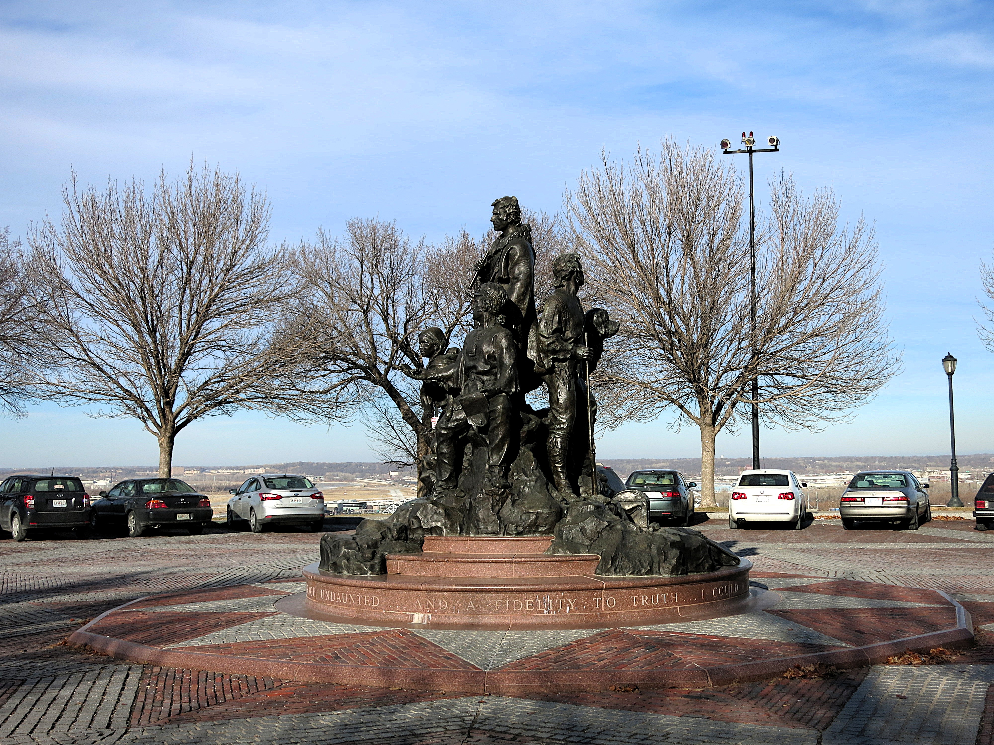
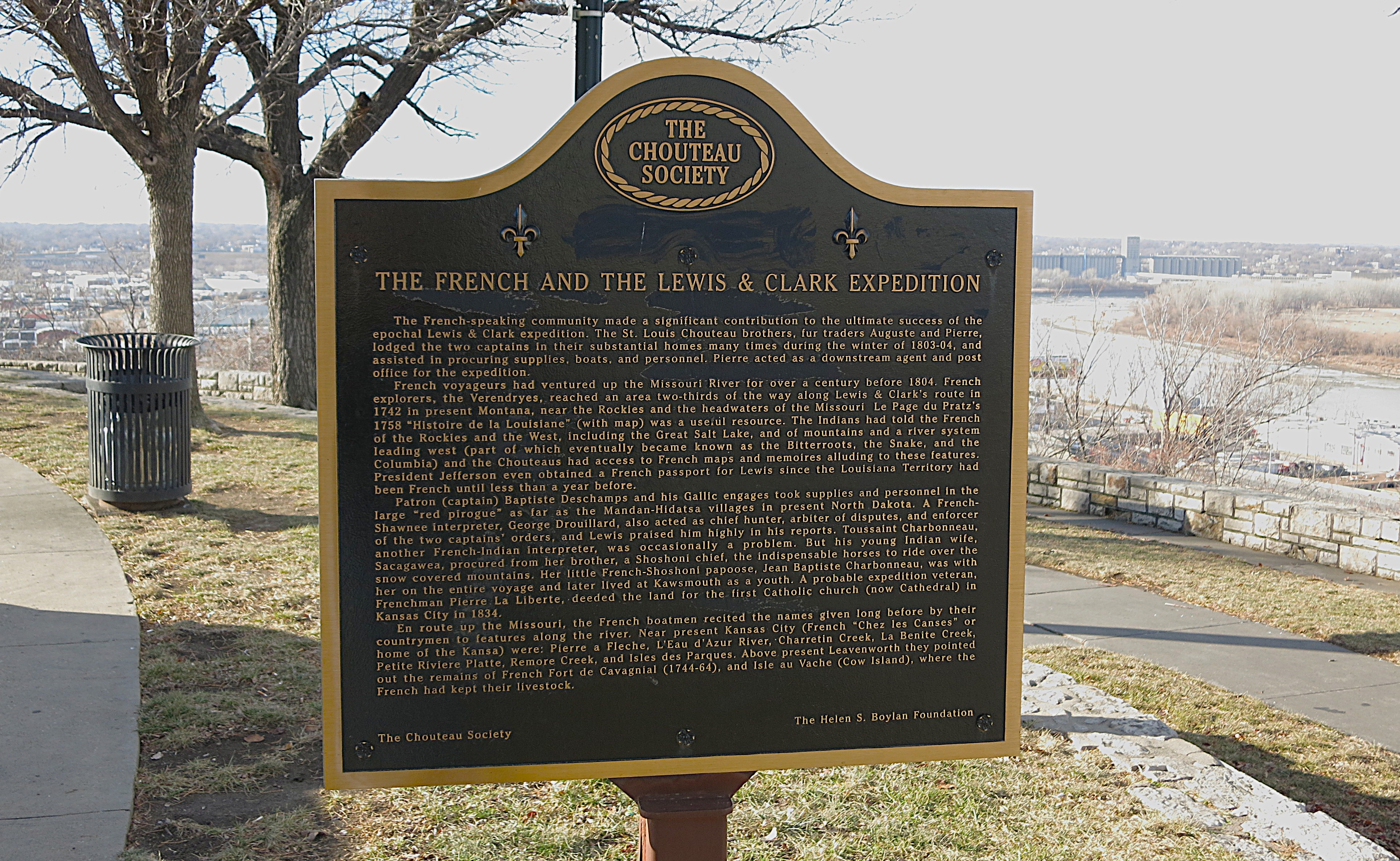
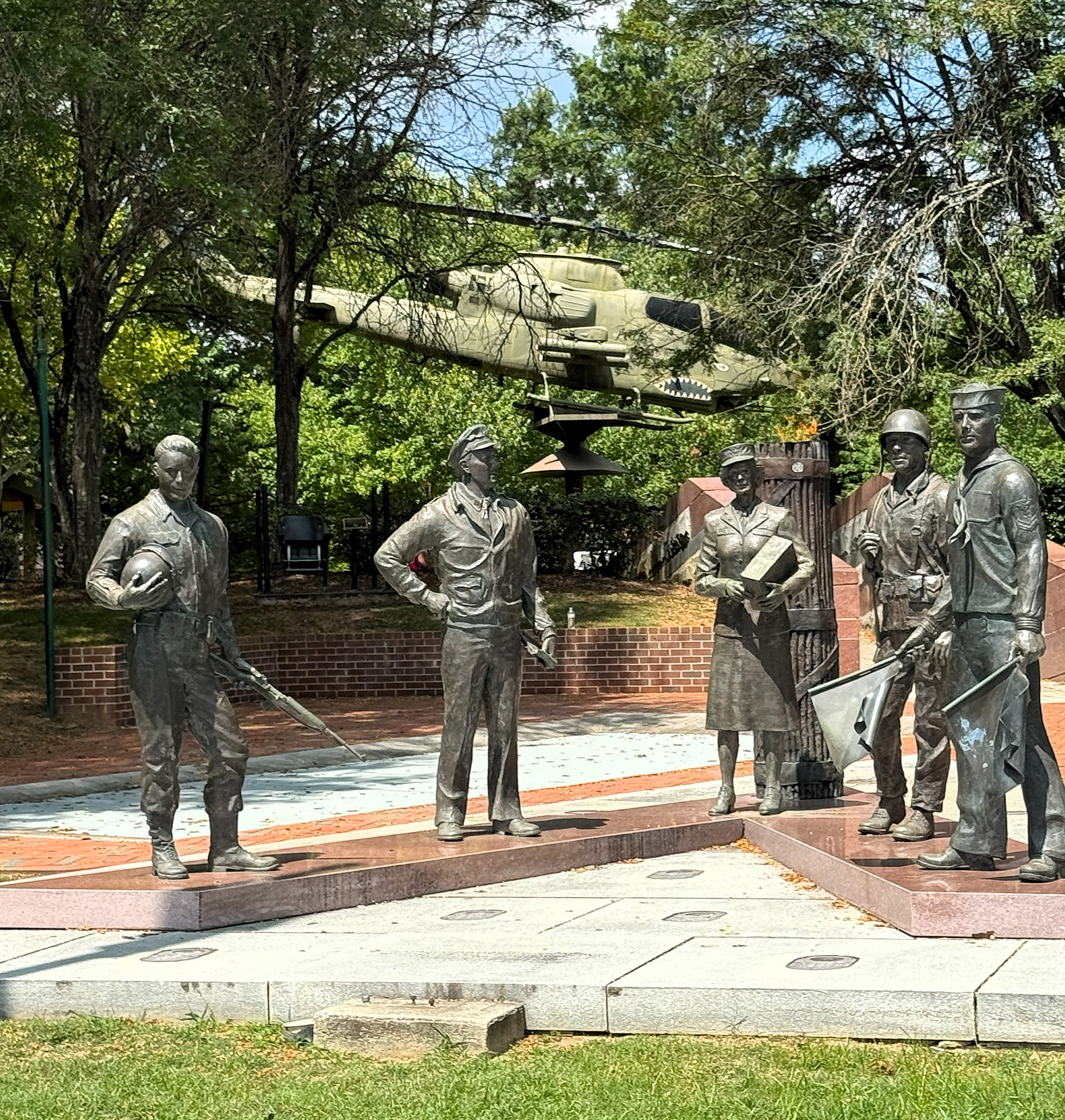
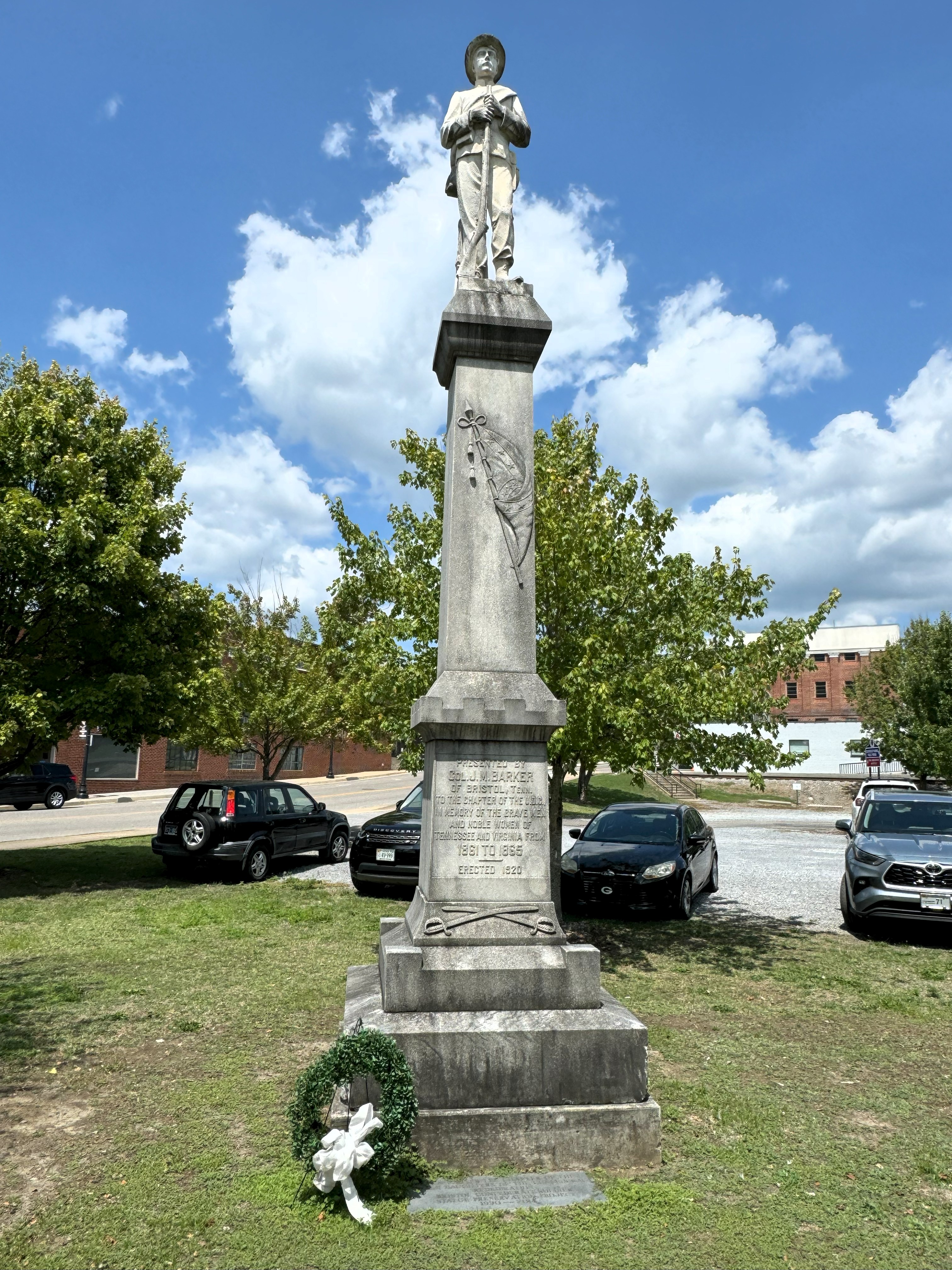
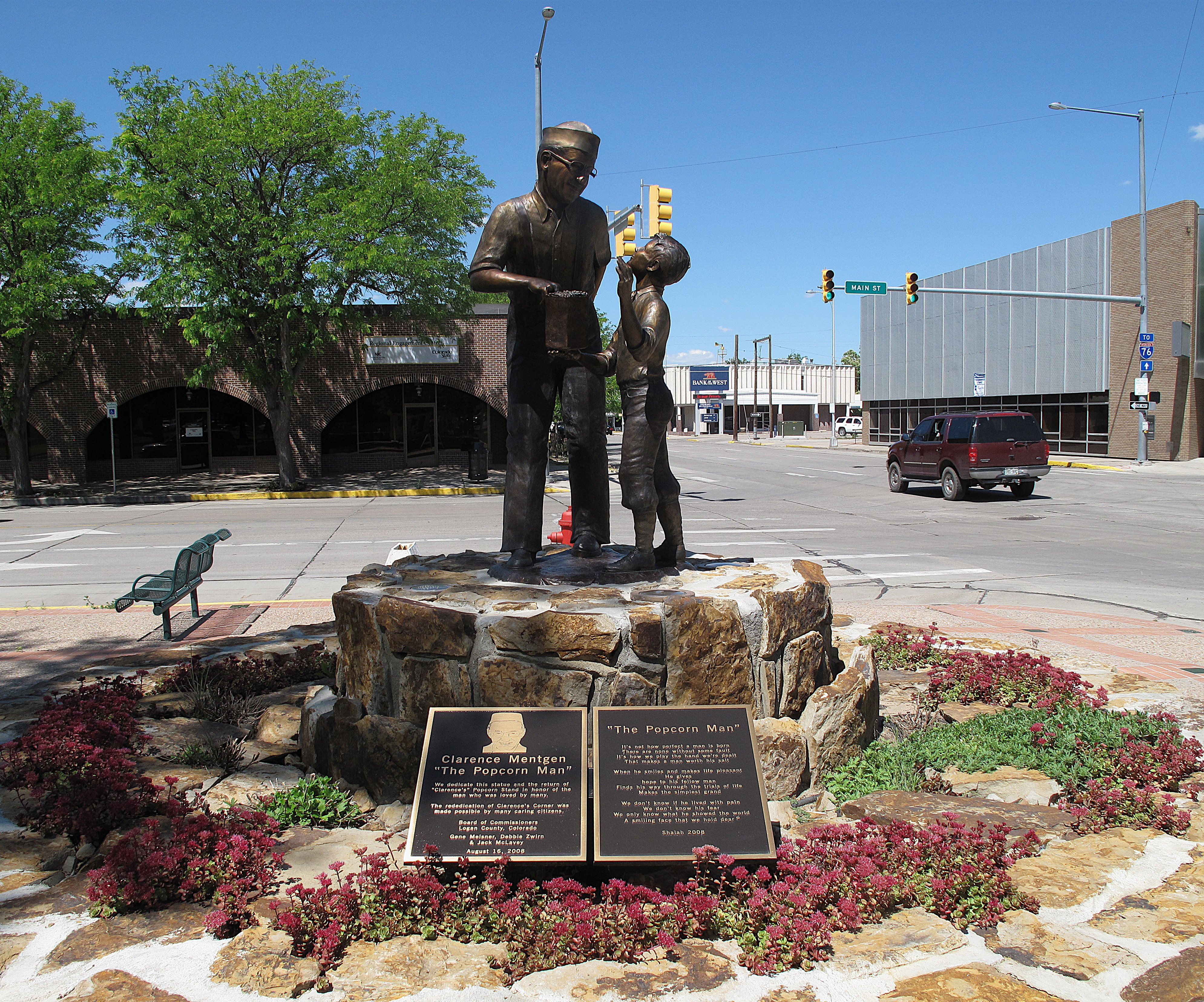
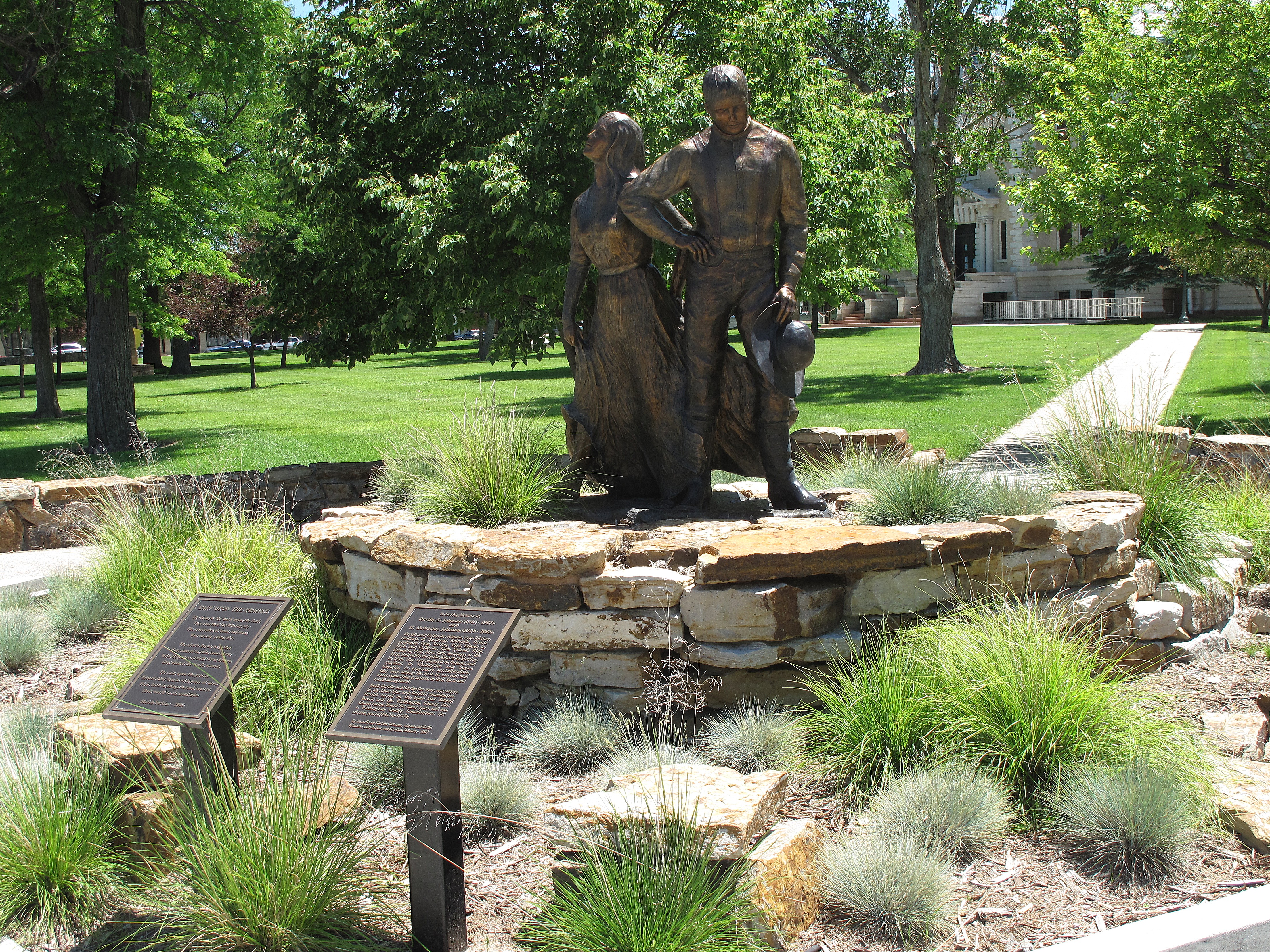
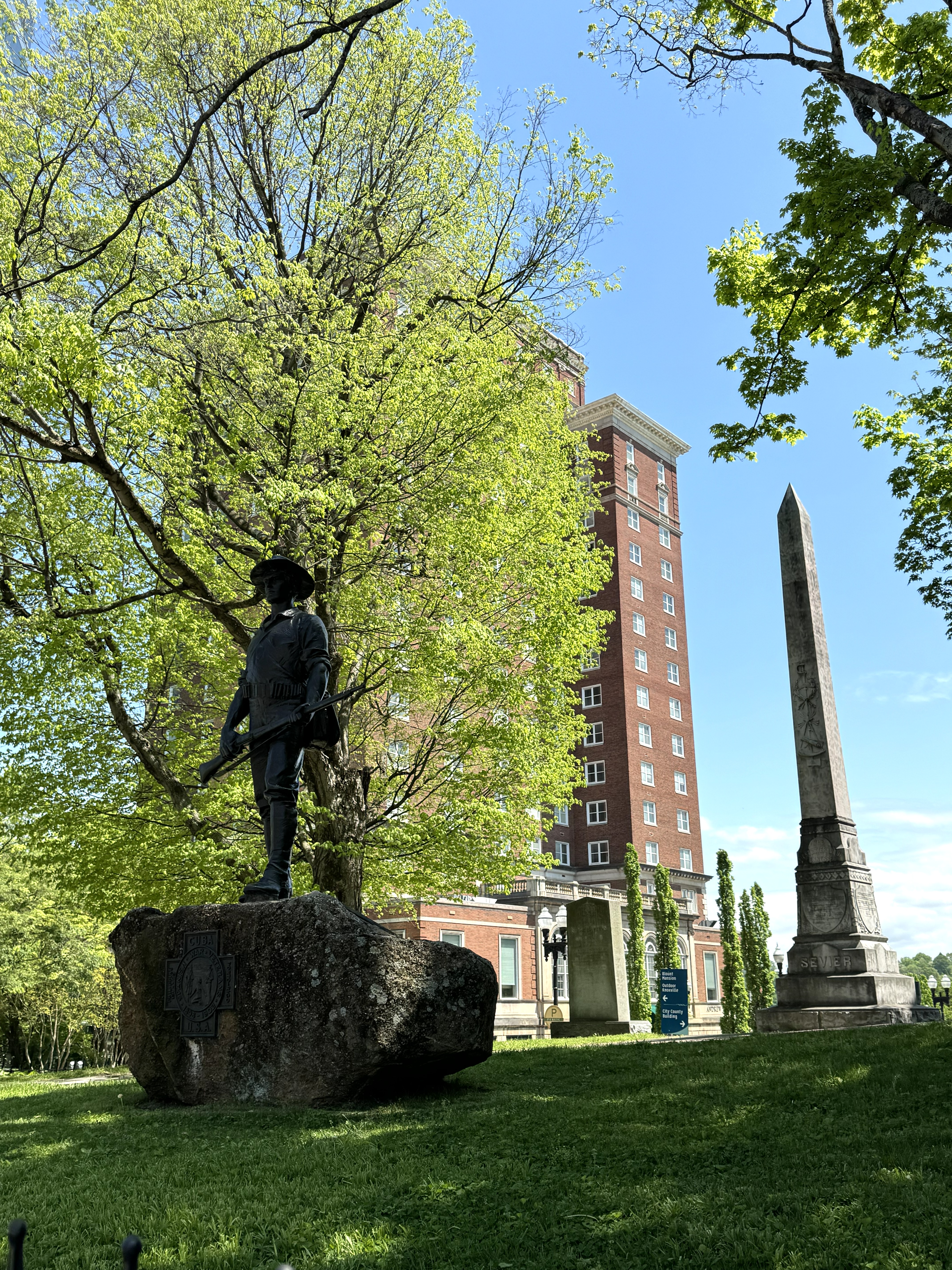
The monuments on the grounds of the old courthouse include a statue of a Spanish-American War fighter and an obelisk dedicated to John Sevier, the first governor of Tennessee. Knoxville was settled way back in 1786 and was the first state capital of Tennessee.
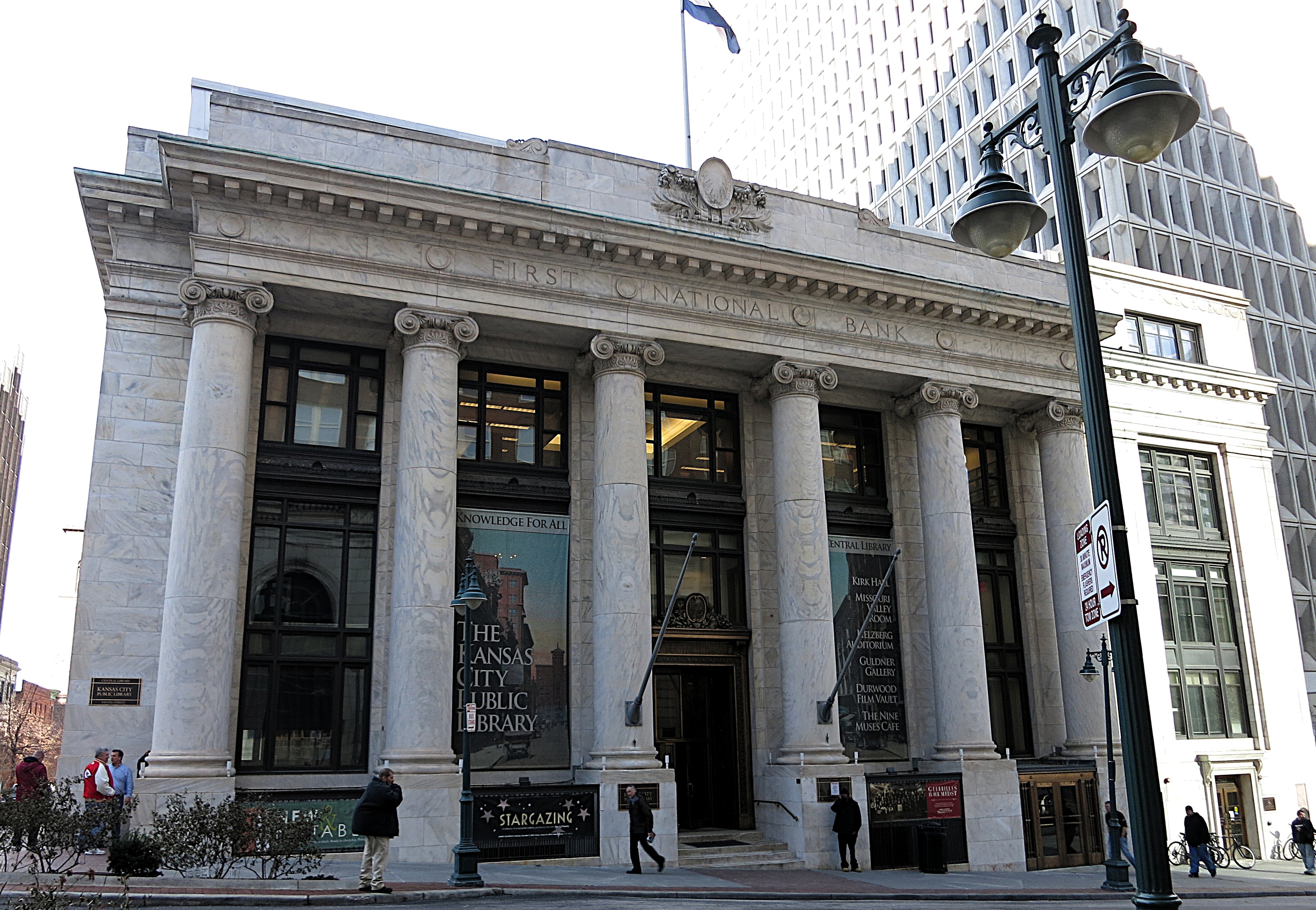
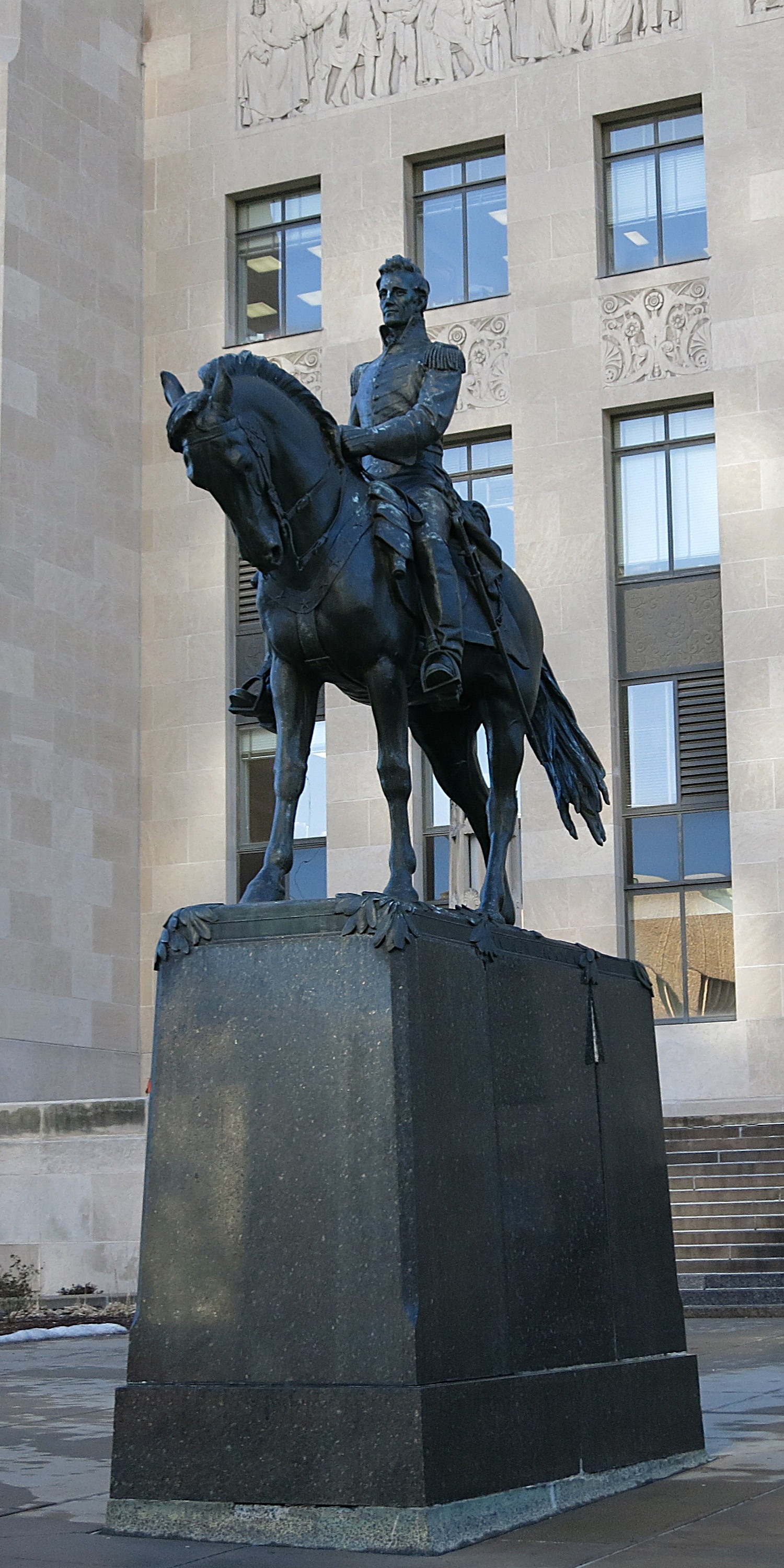
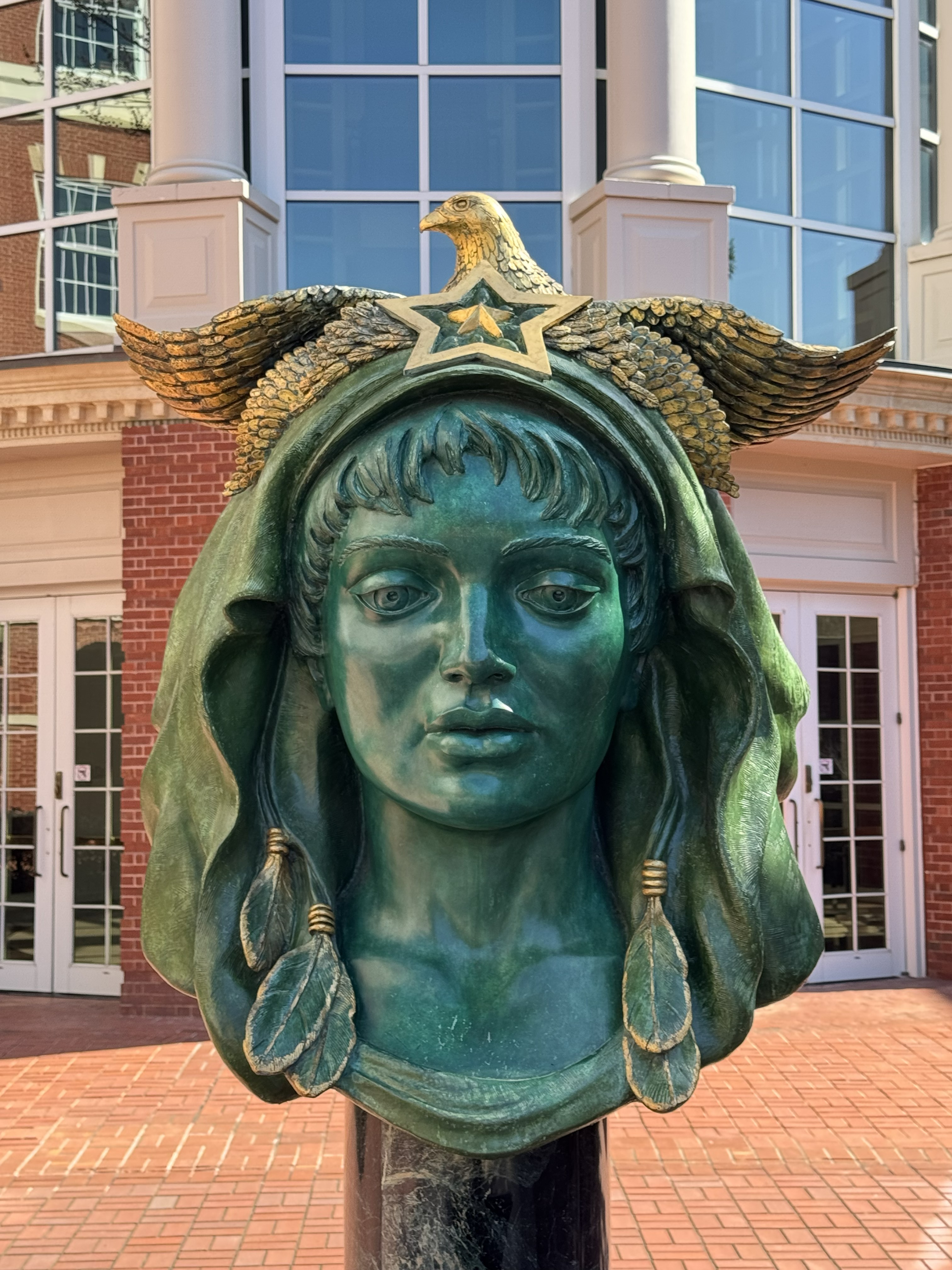
Also near the county courthouse is the Howard H. Baker United States Courthouse (left below). Baker was a prominent U.S. Senator representing Tennessee during the Watergate era. The statue on the right (below) is displayed on the grounds.
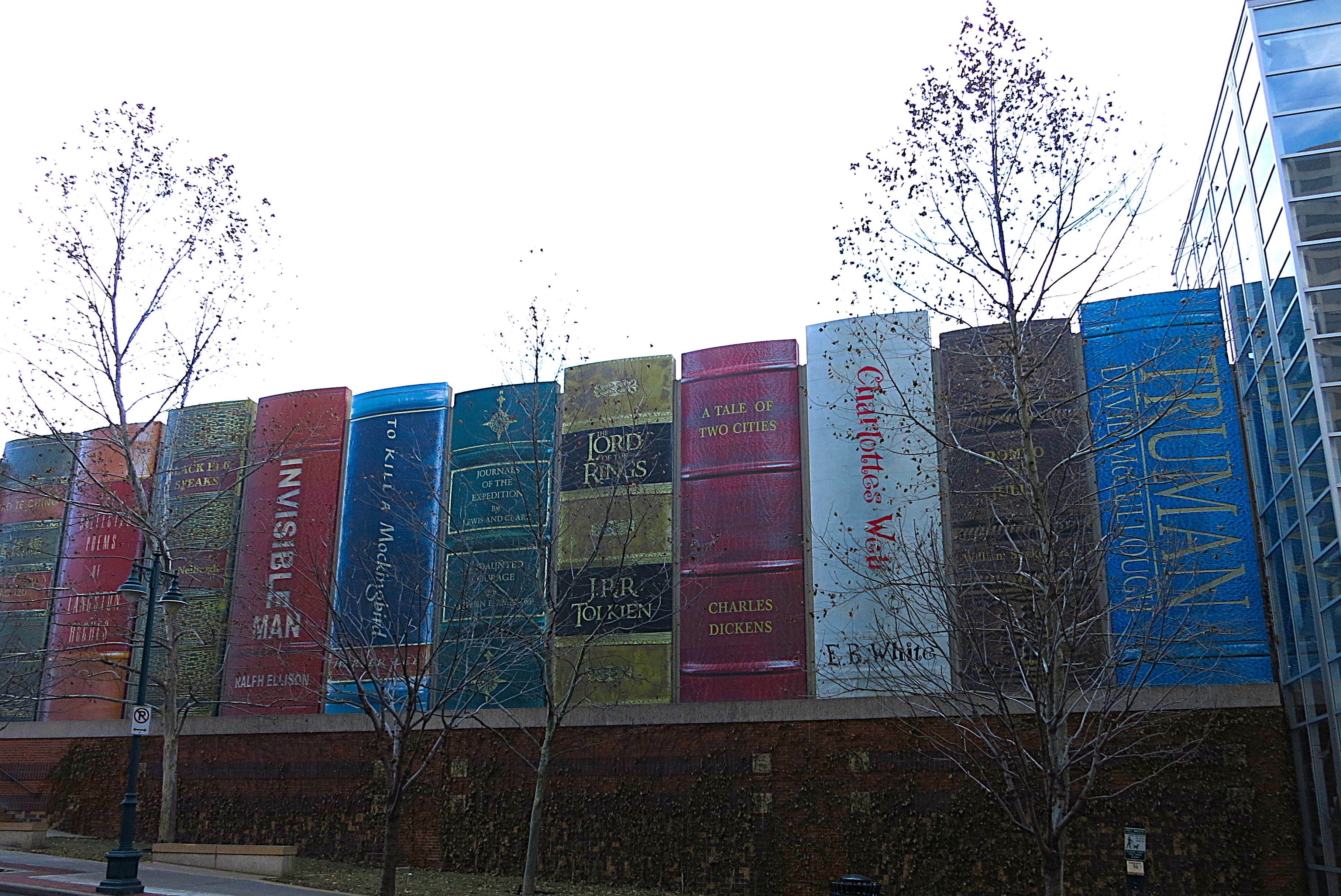
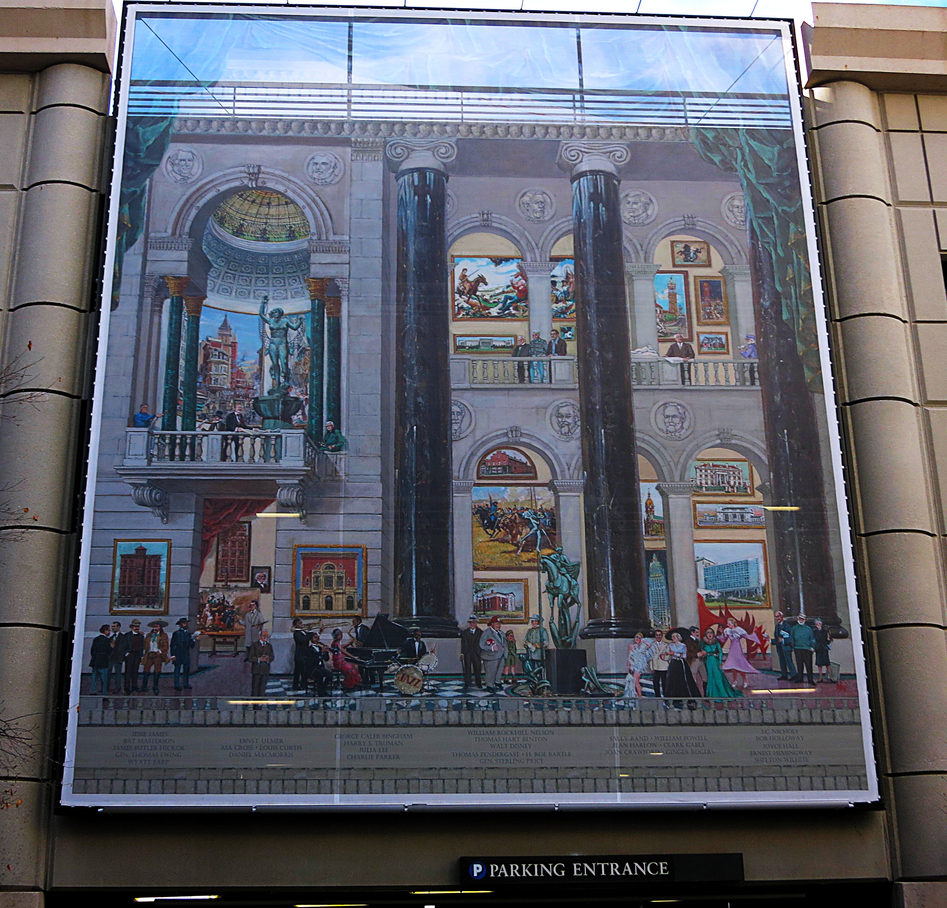
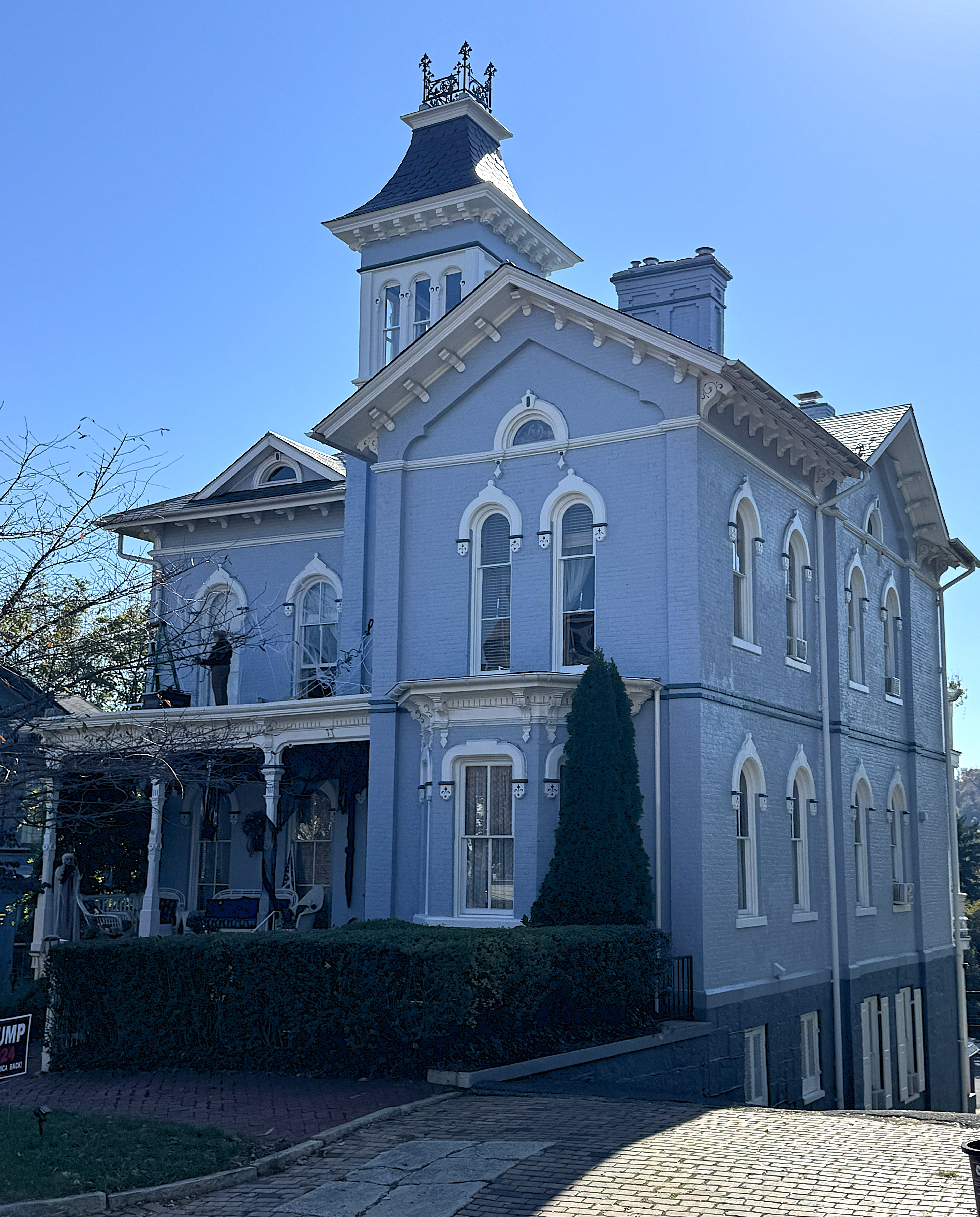
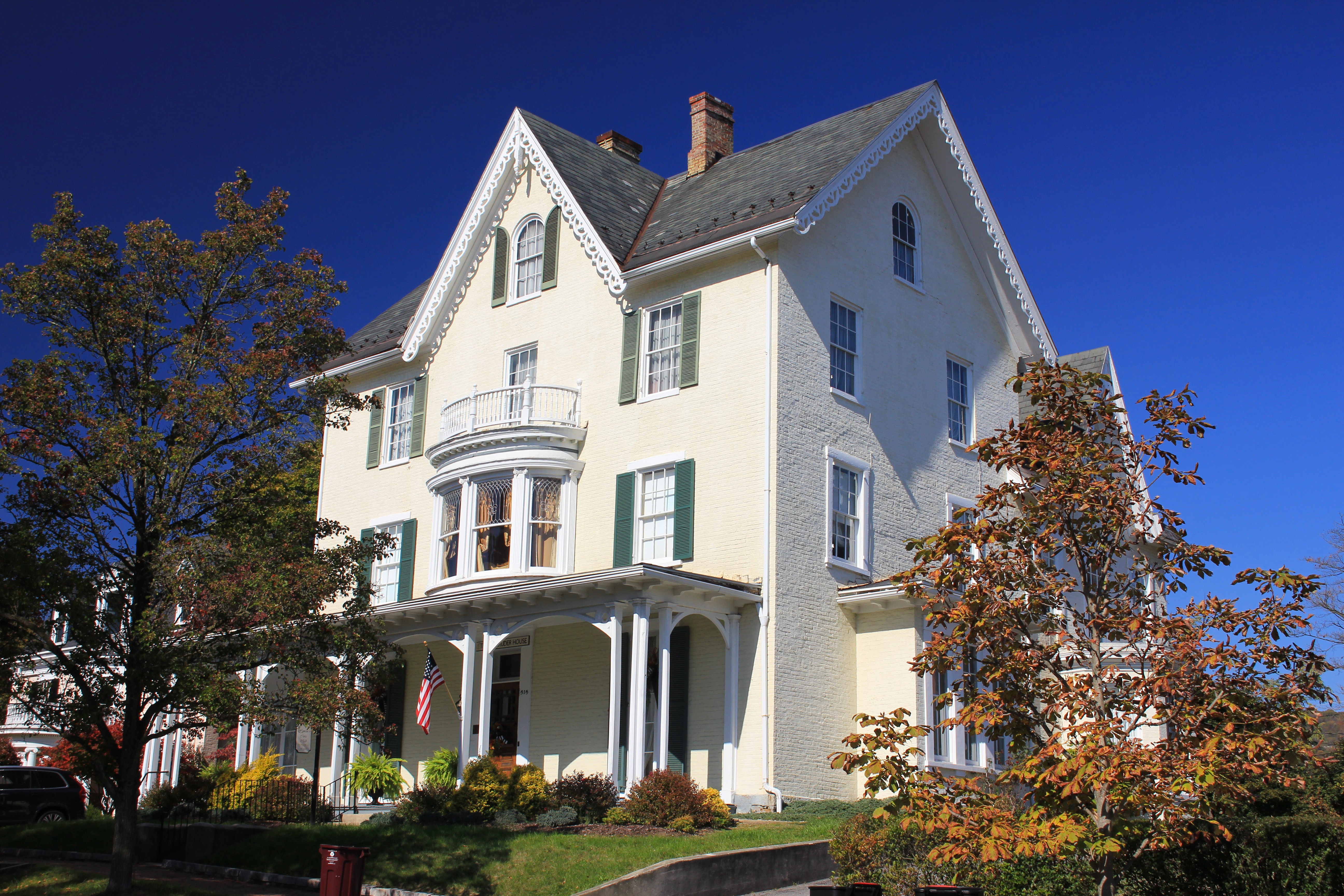
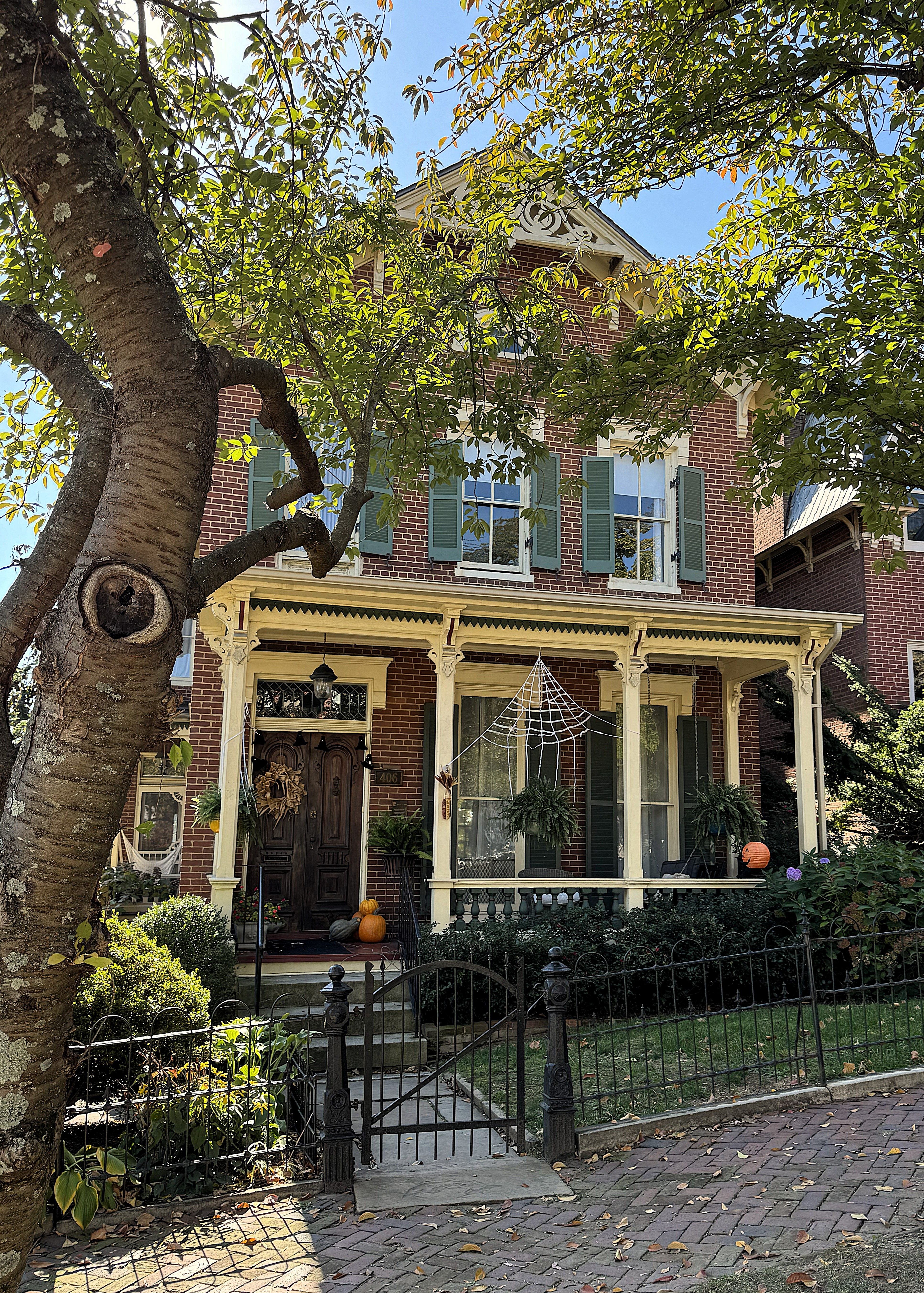
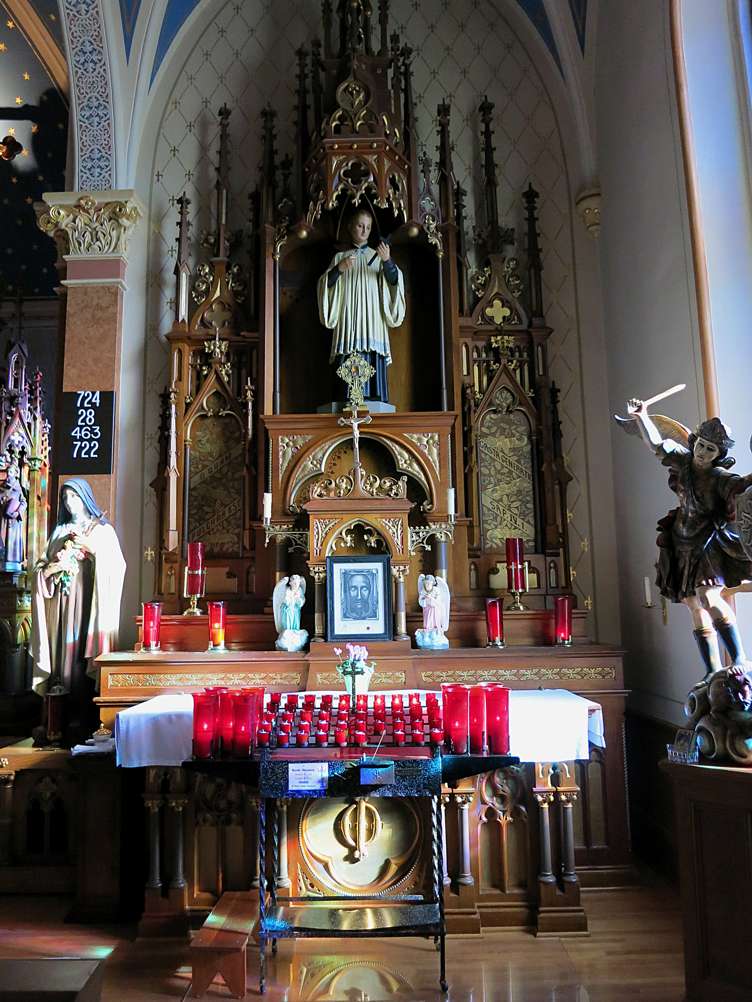
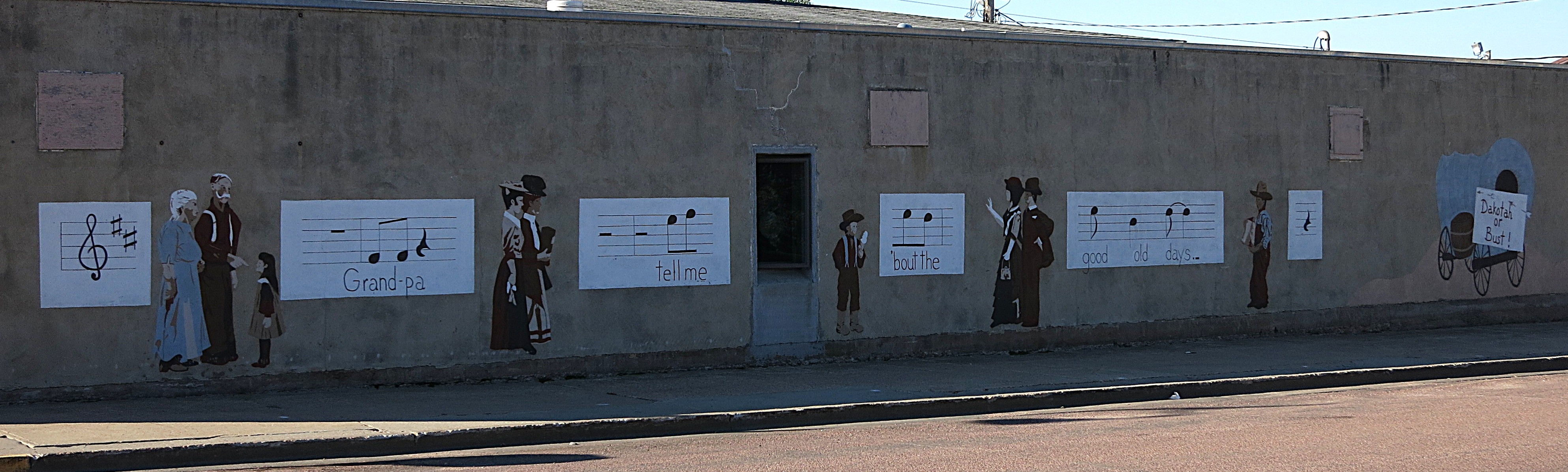
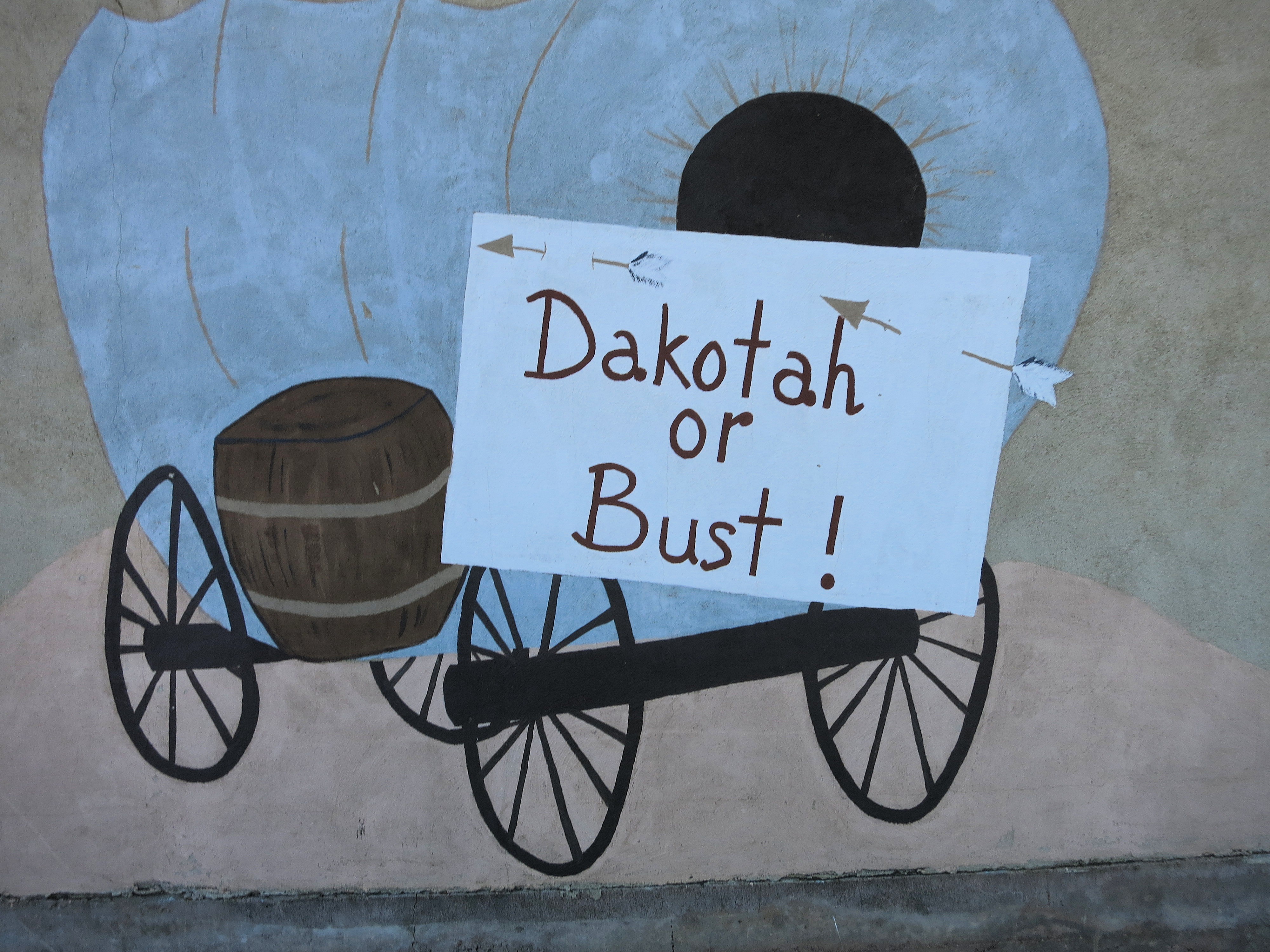
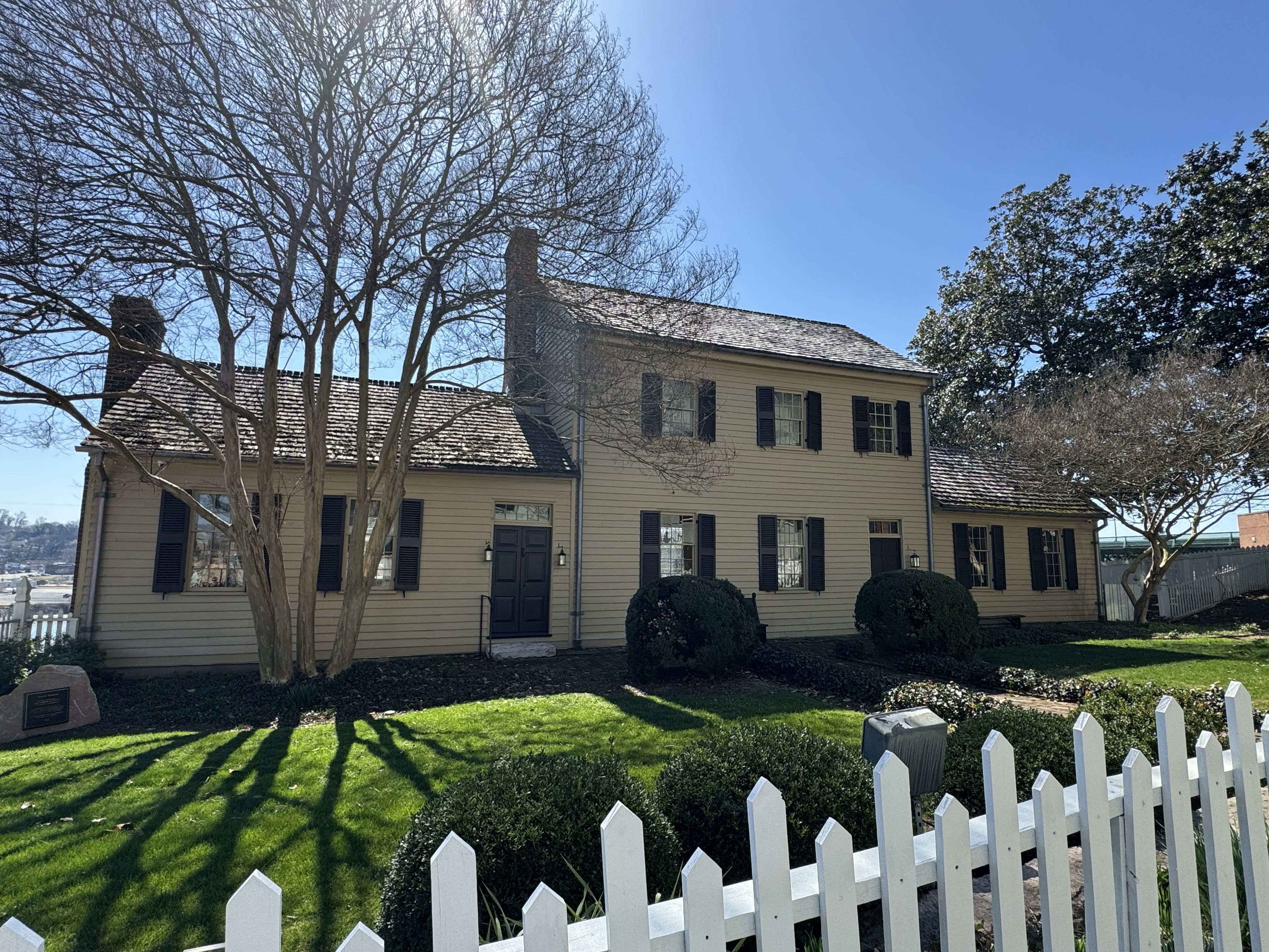
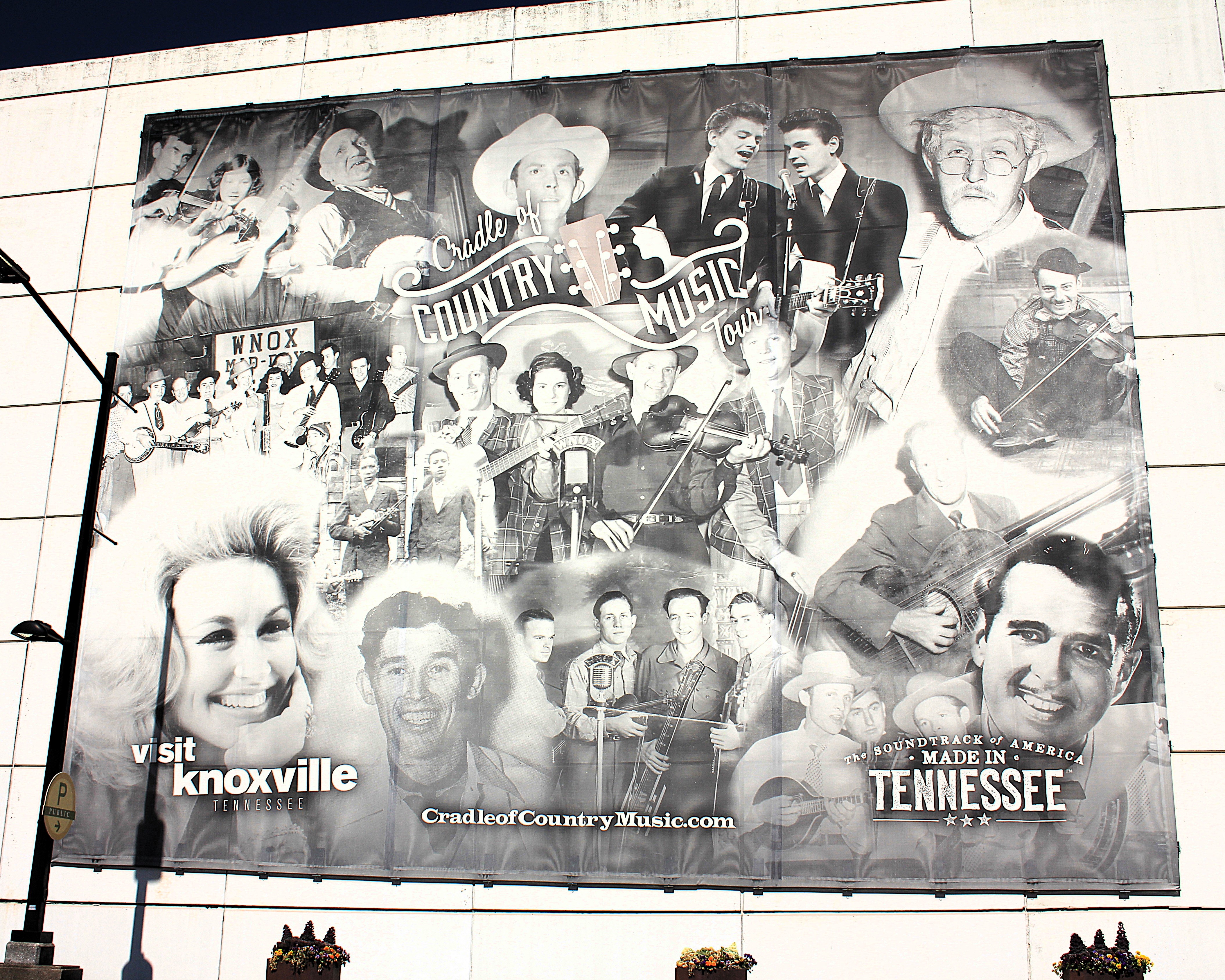
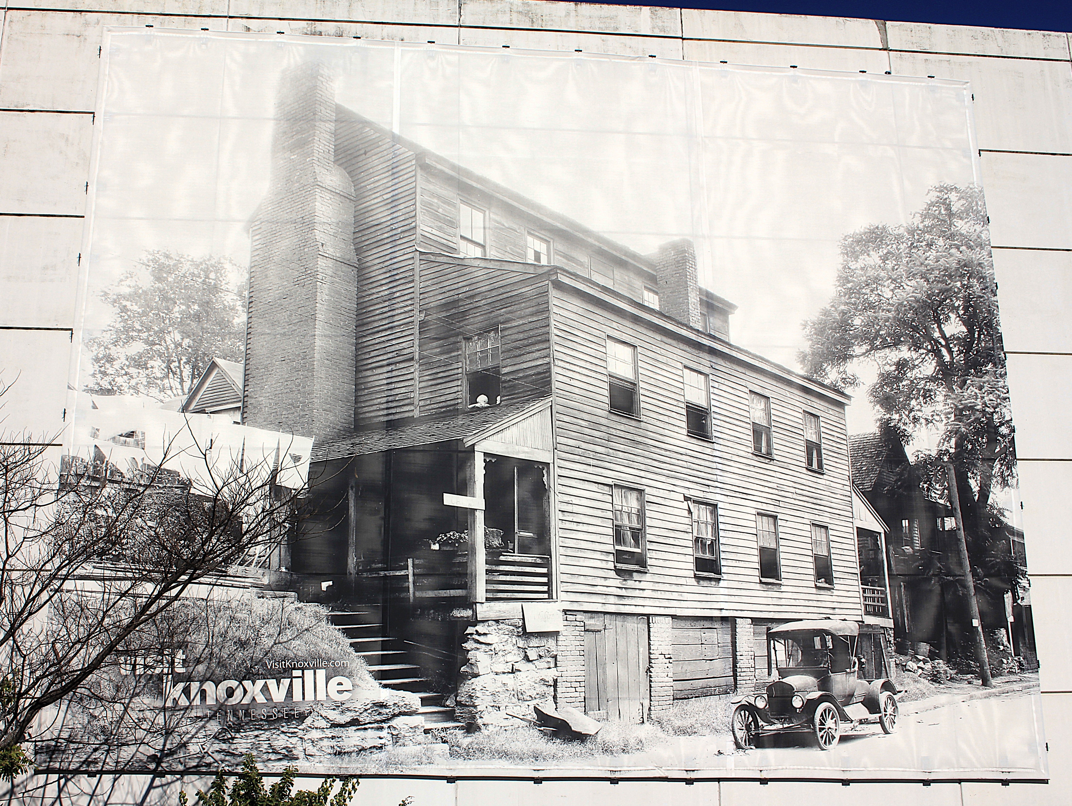
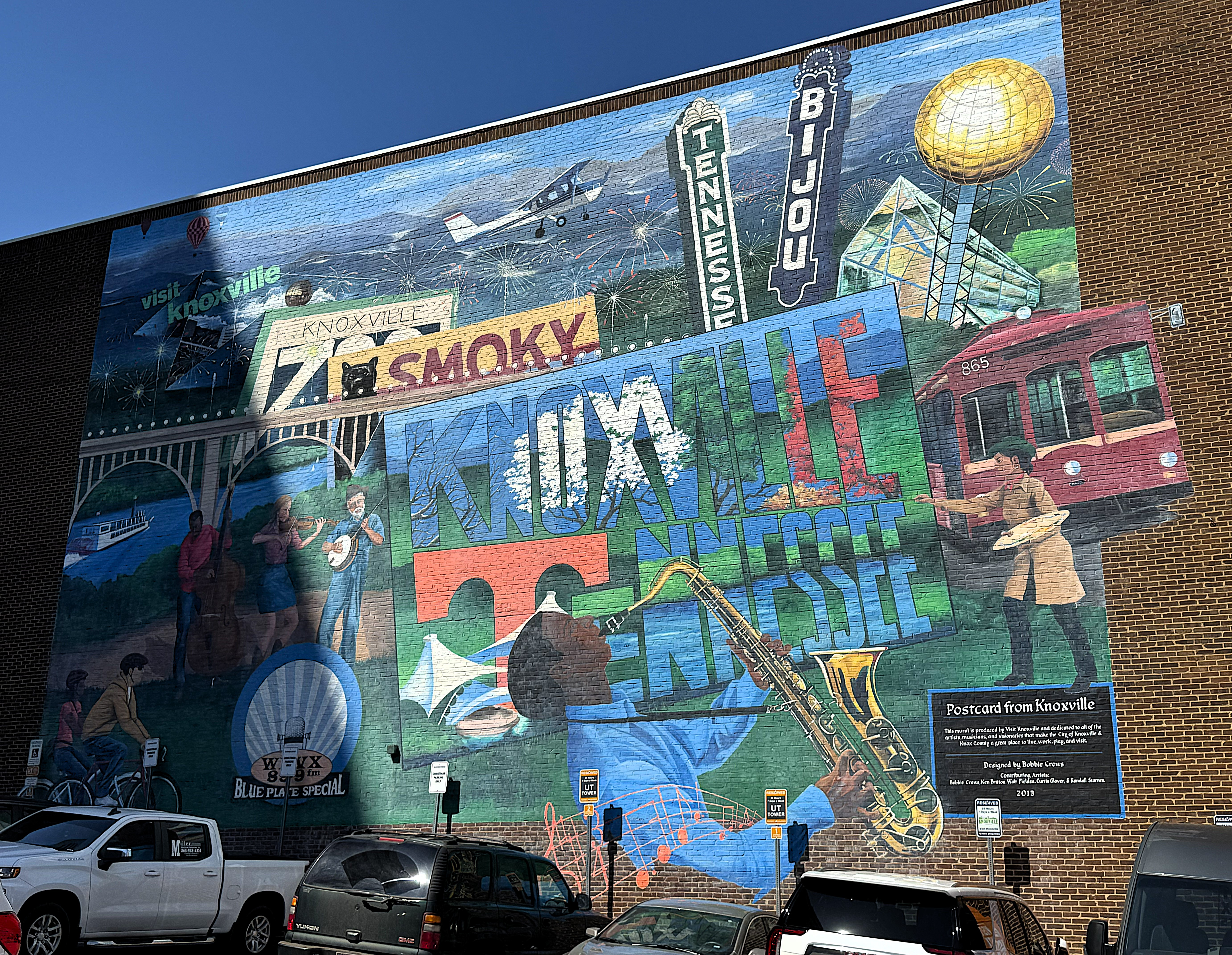
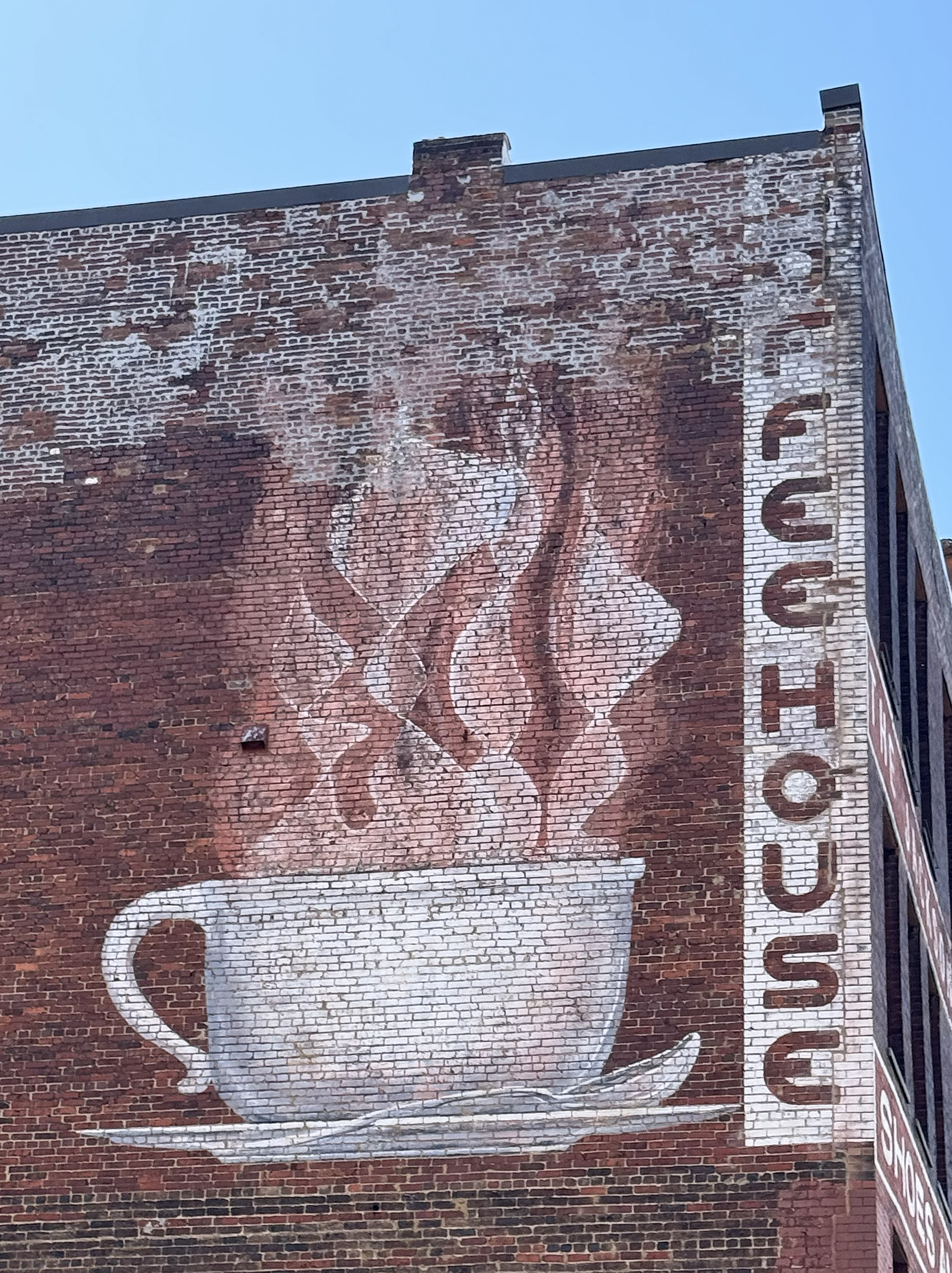
After finishing photos of the courthouses, I photographed the Blount Mansion next door and the street murals nearby that highlight Tennessee’s music legacy. The Blount Mansion was begun in 1820 for William Blount, a signer of the United States Constitution, who represented North Carolina and was an early pioneer of Tennessee.
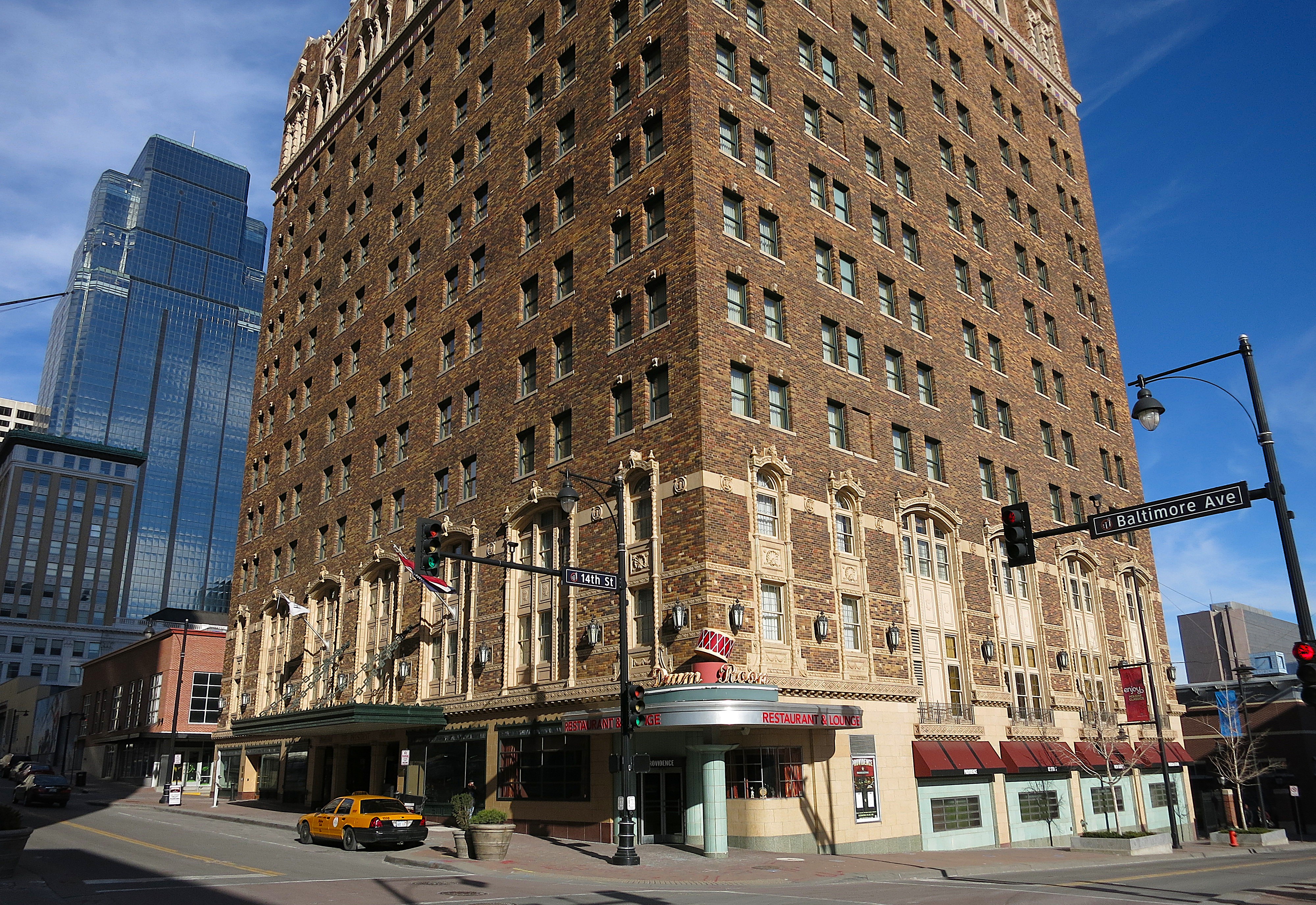
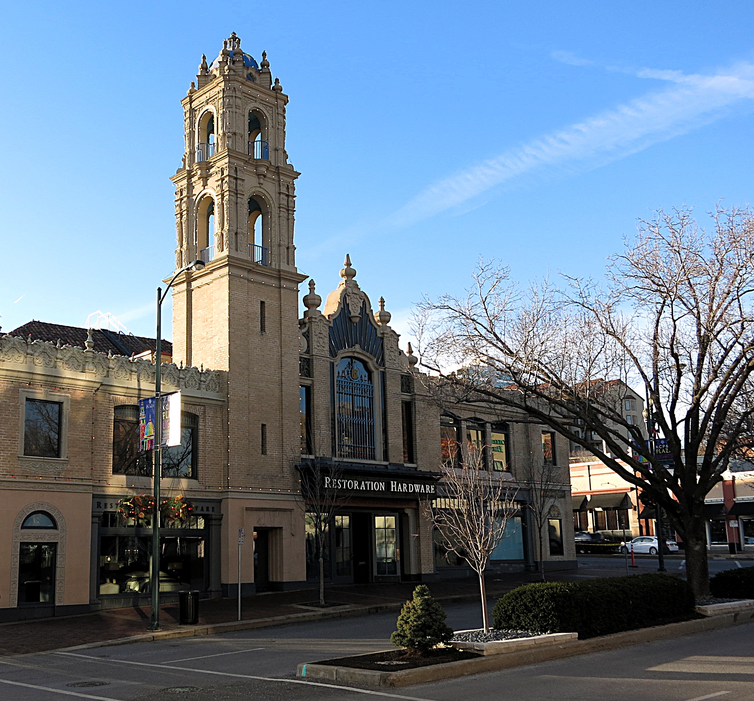
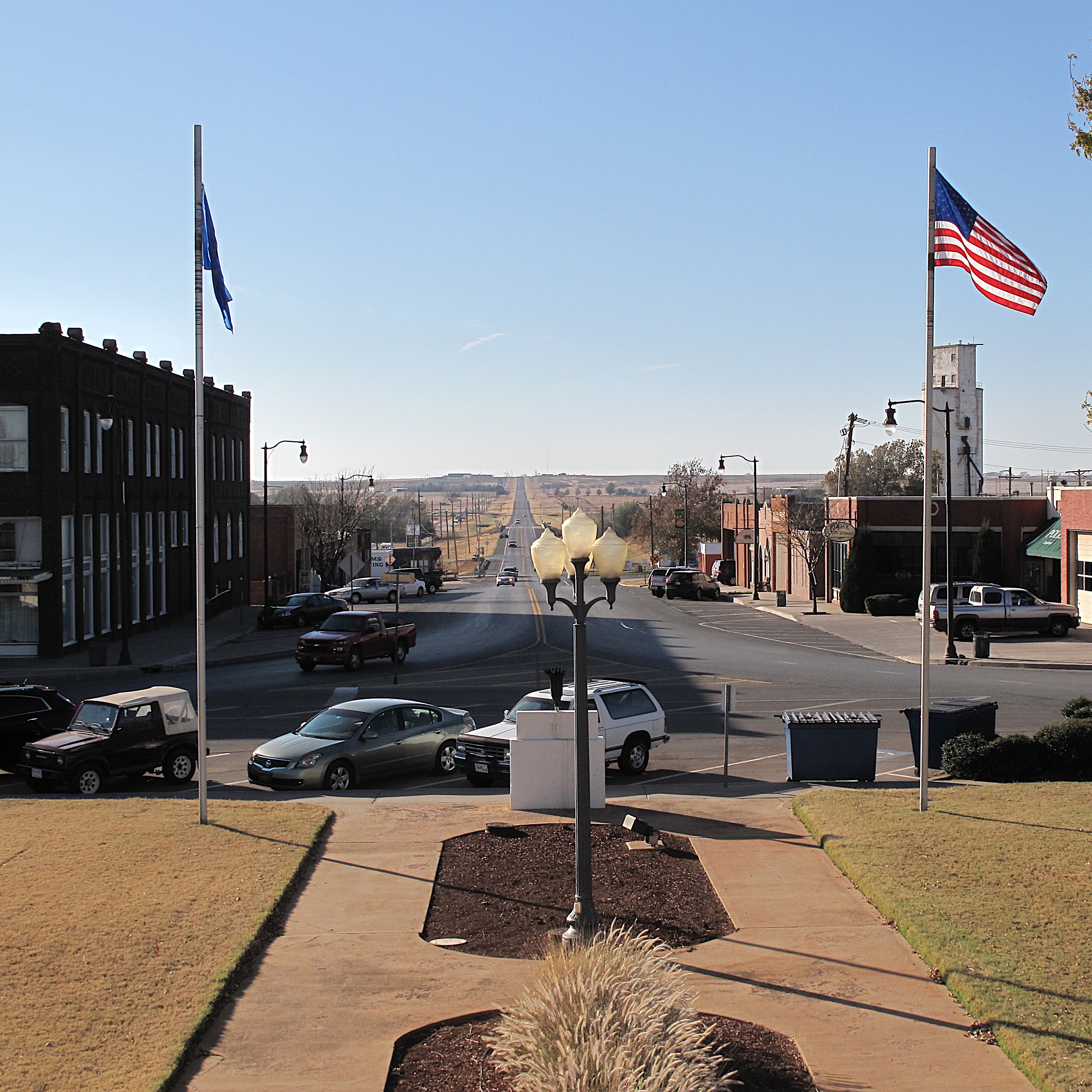
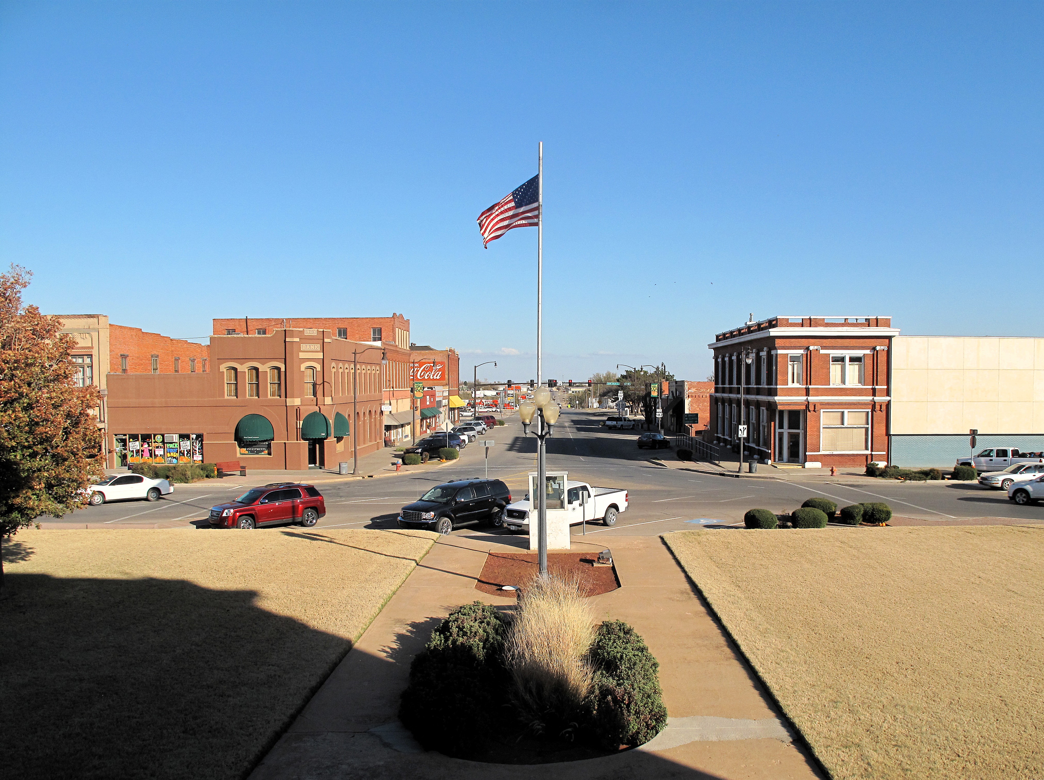
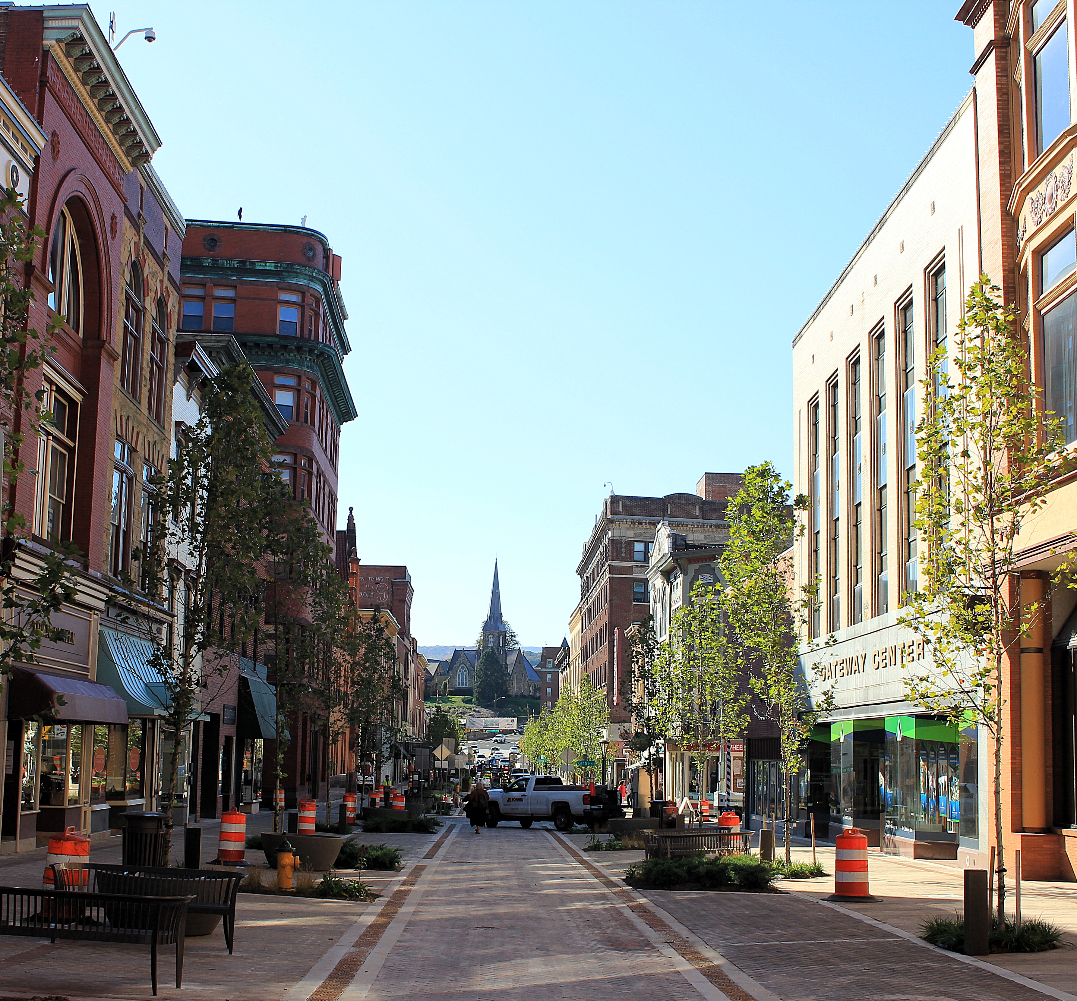
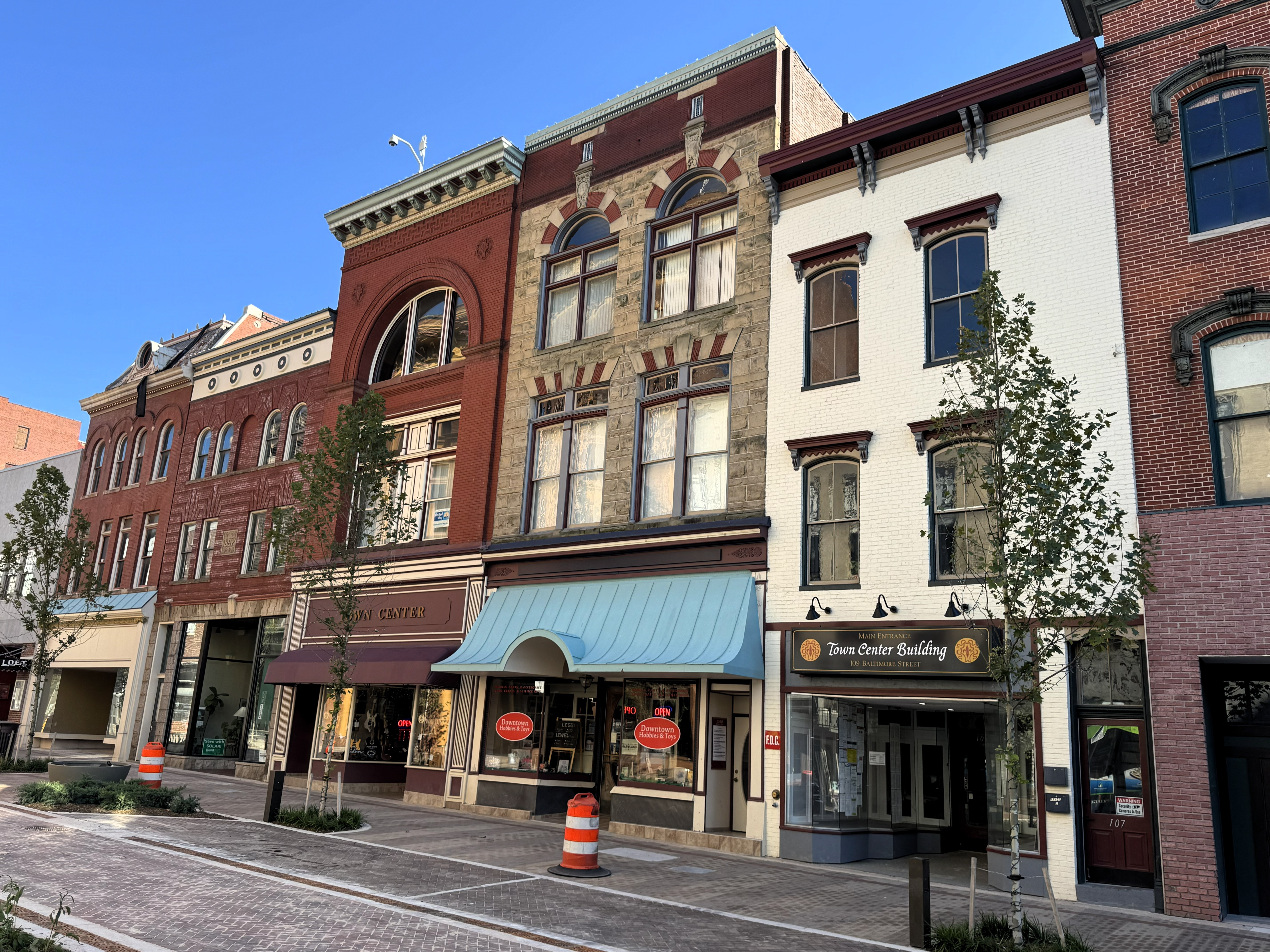
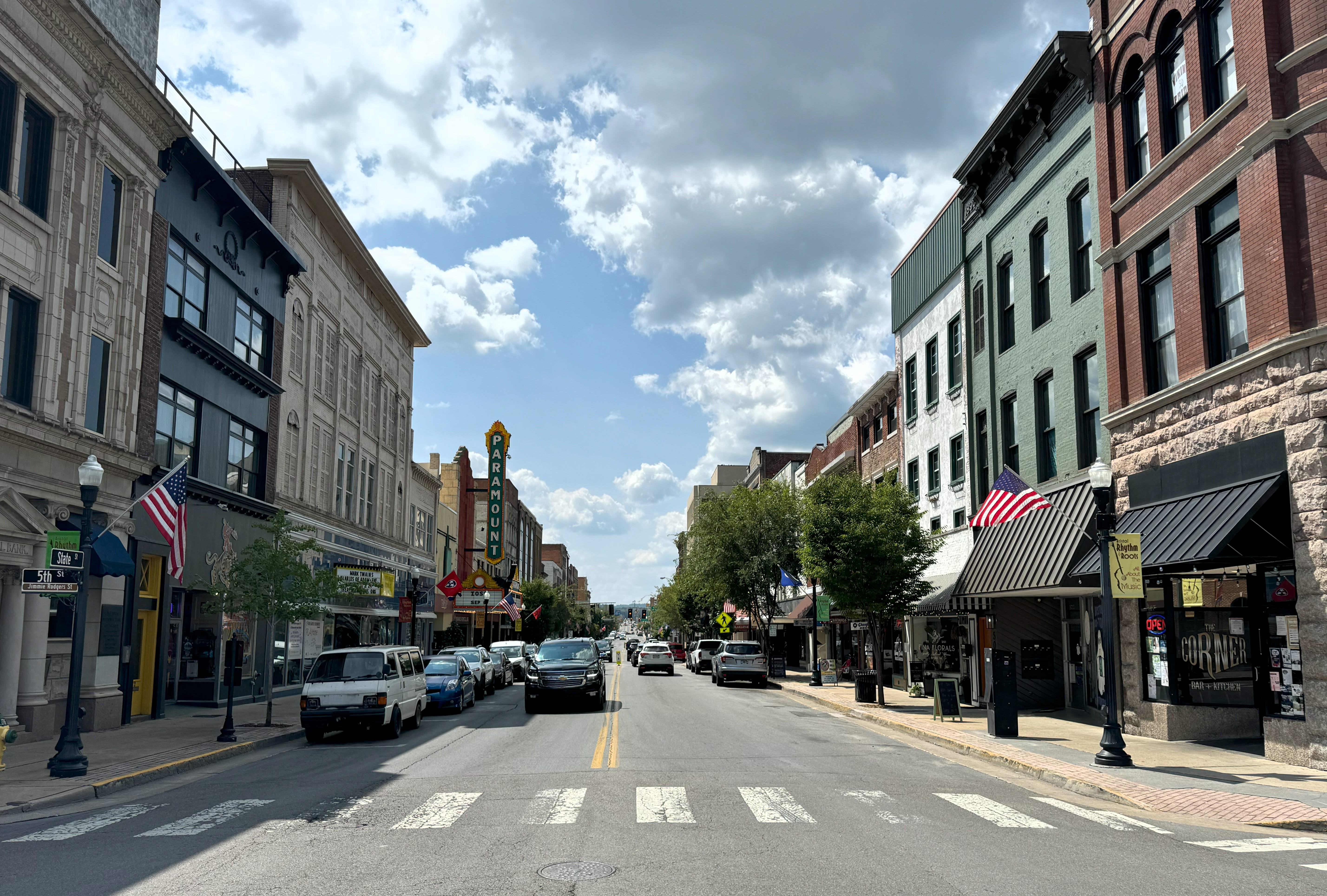
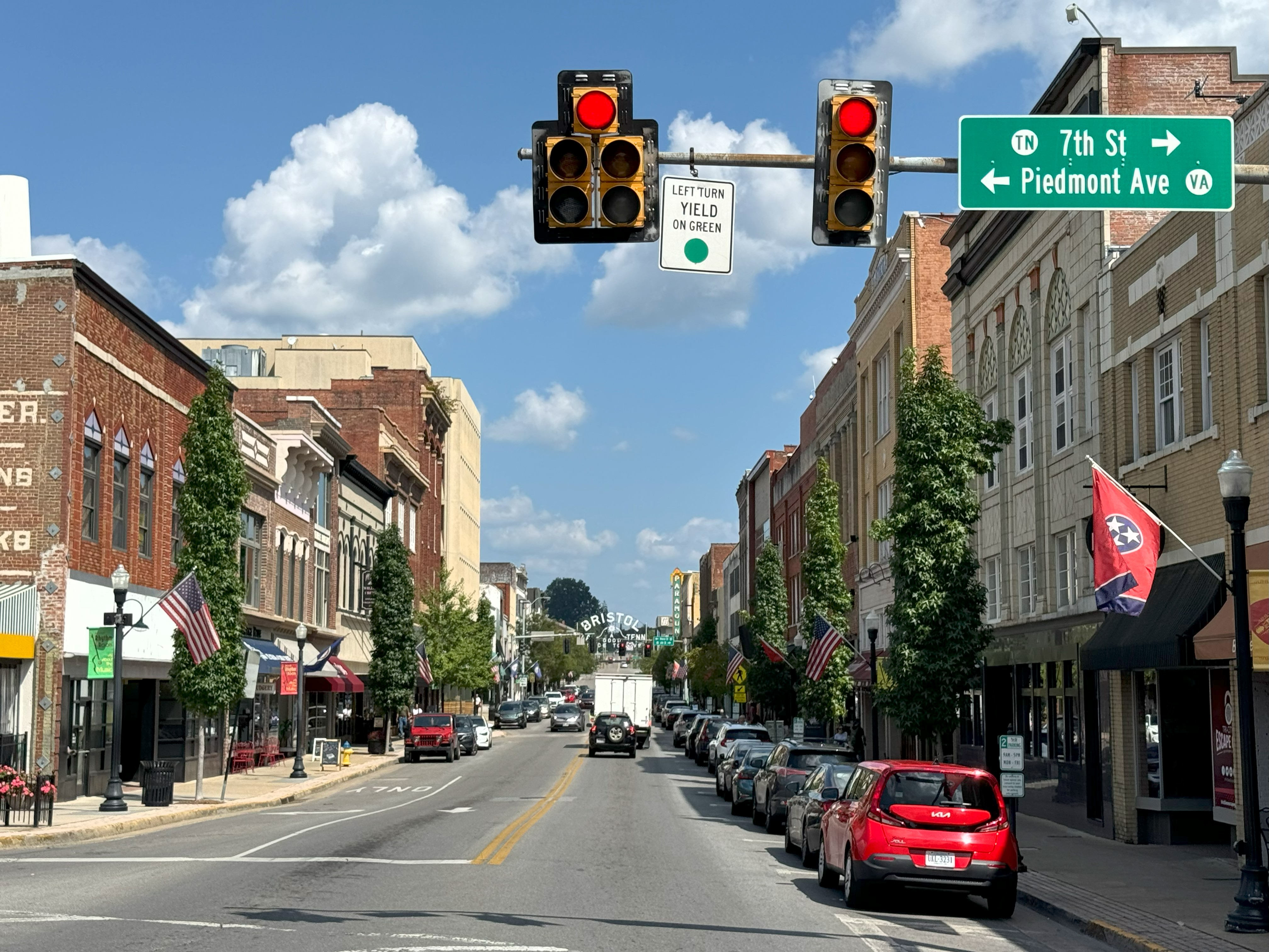
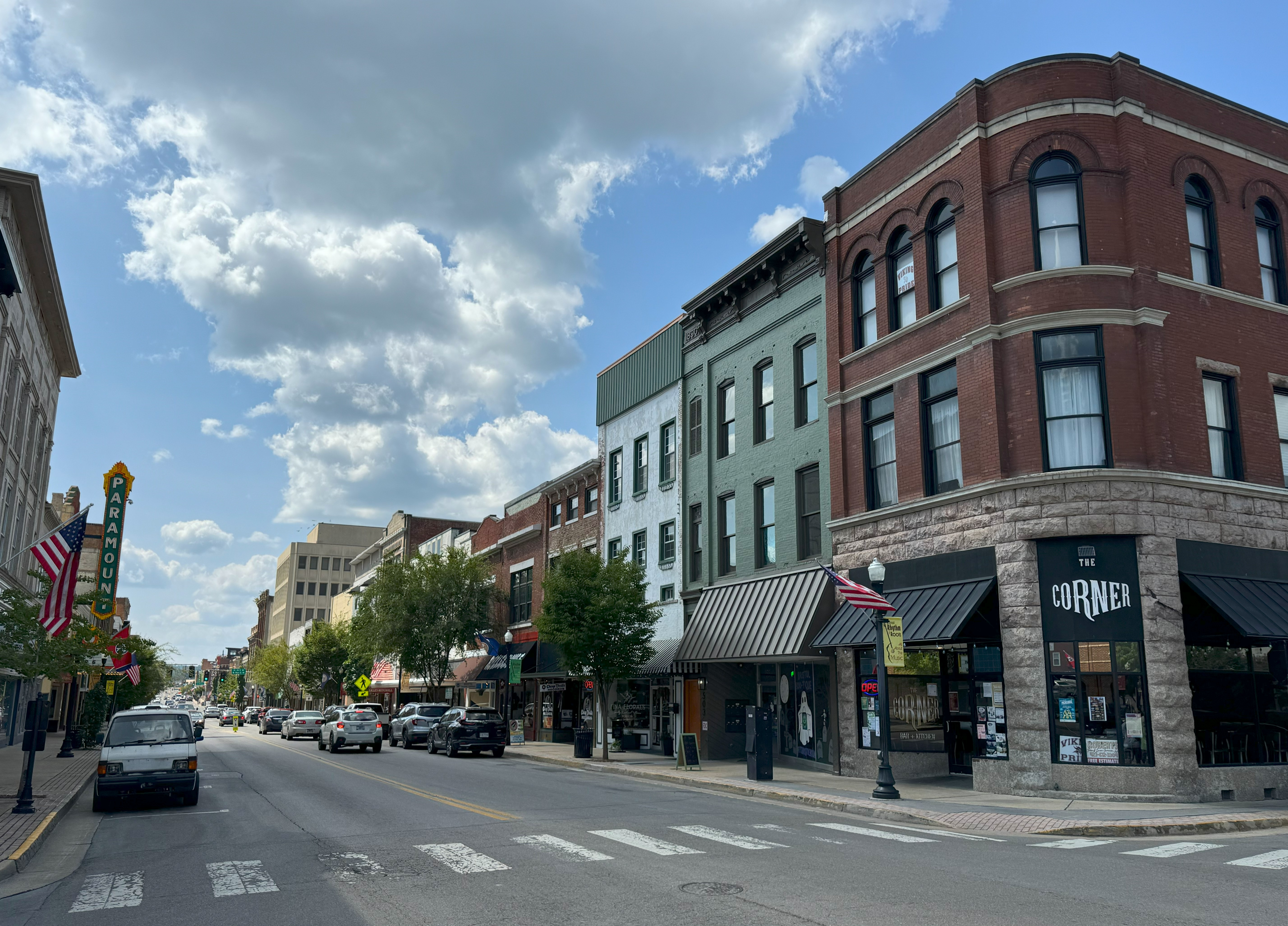
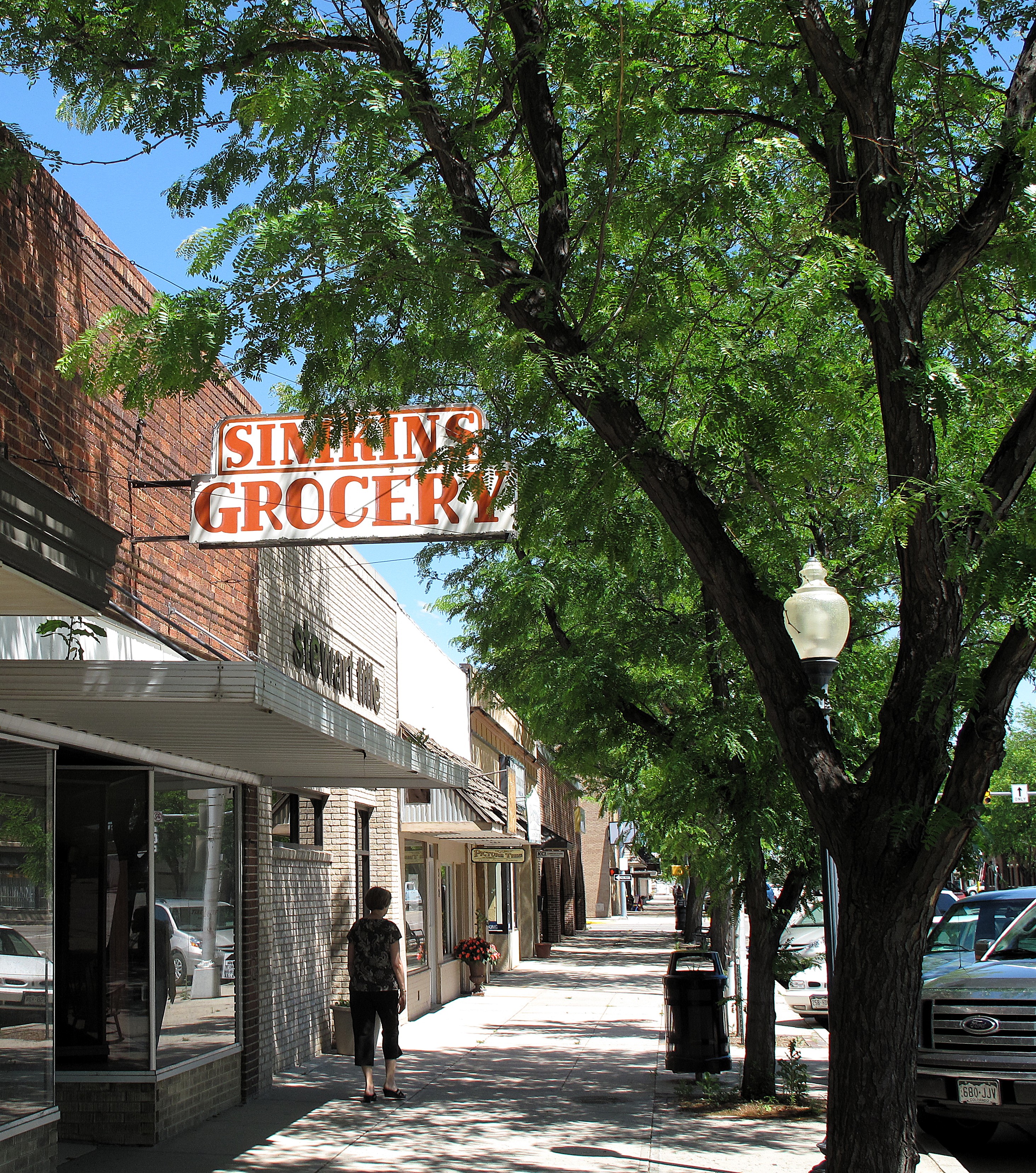
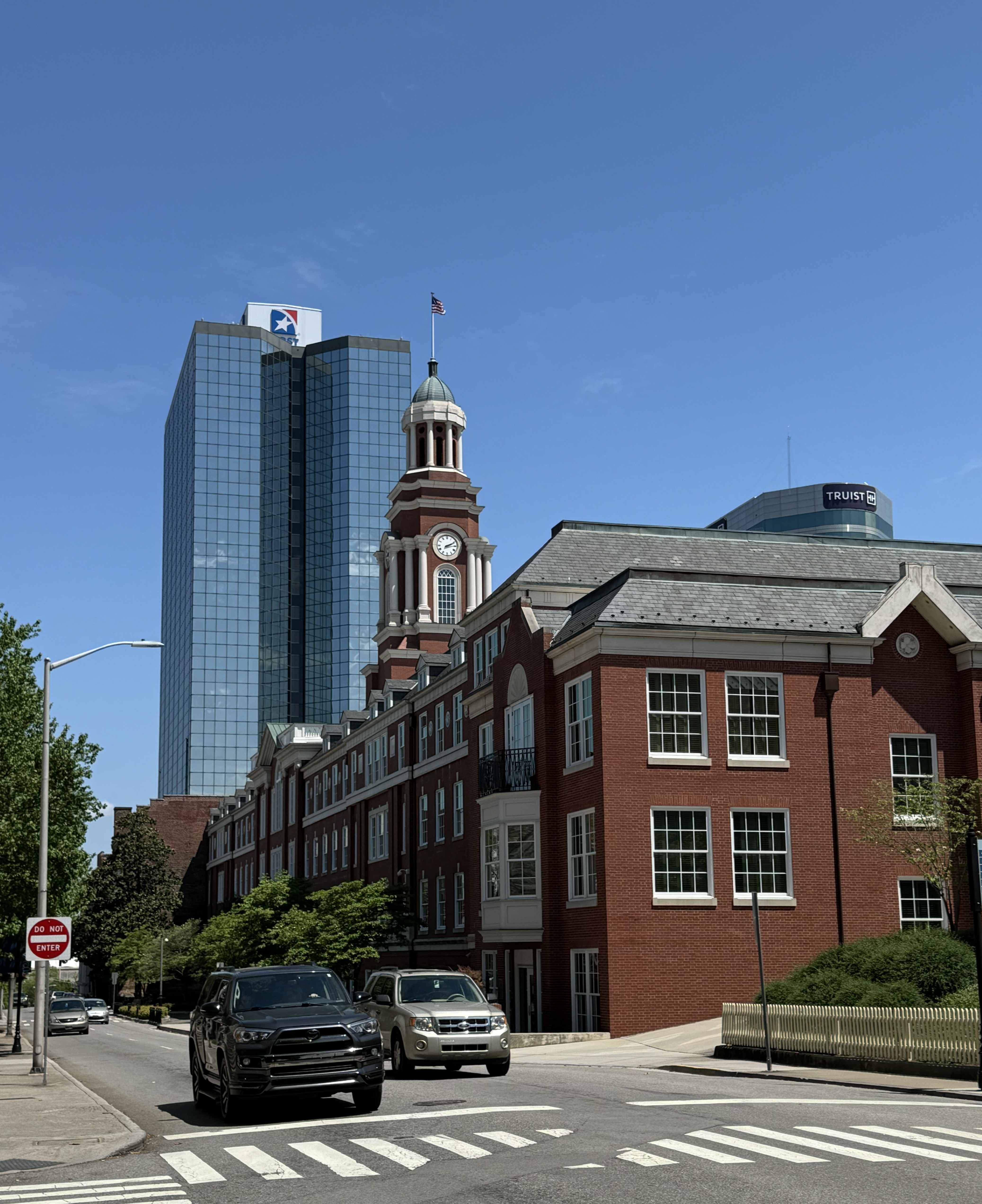
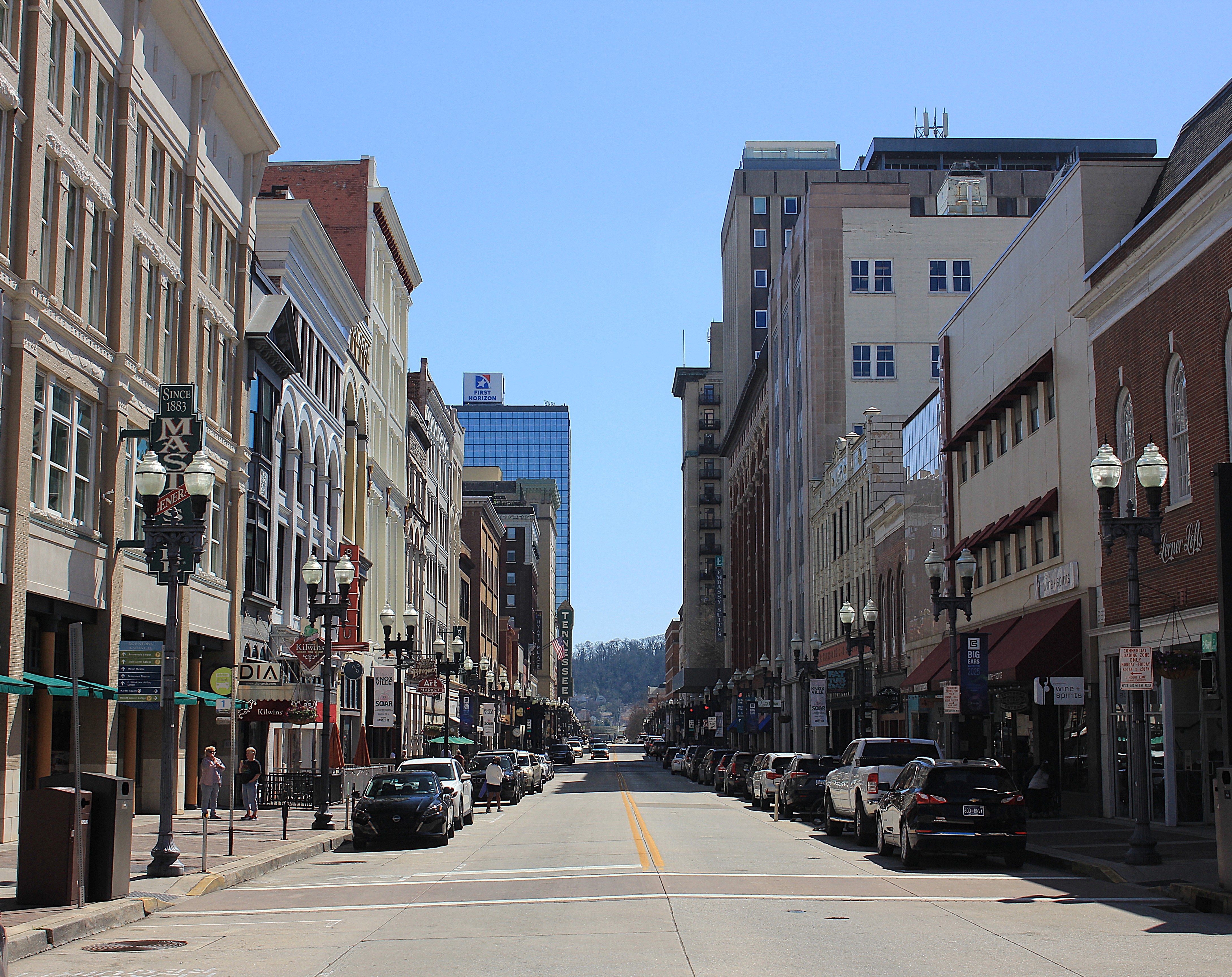
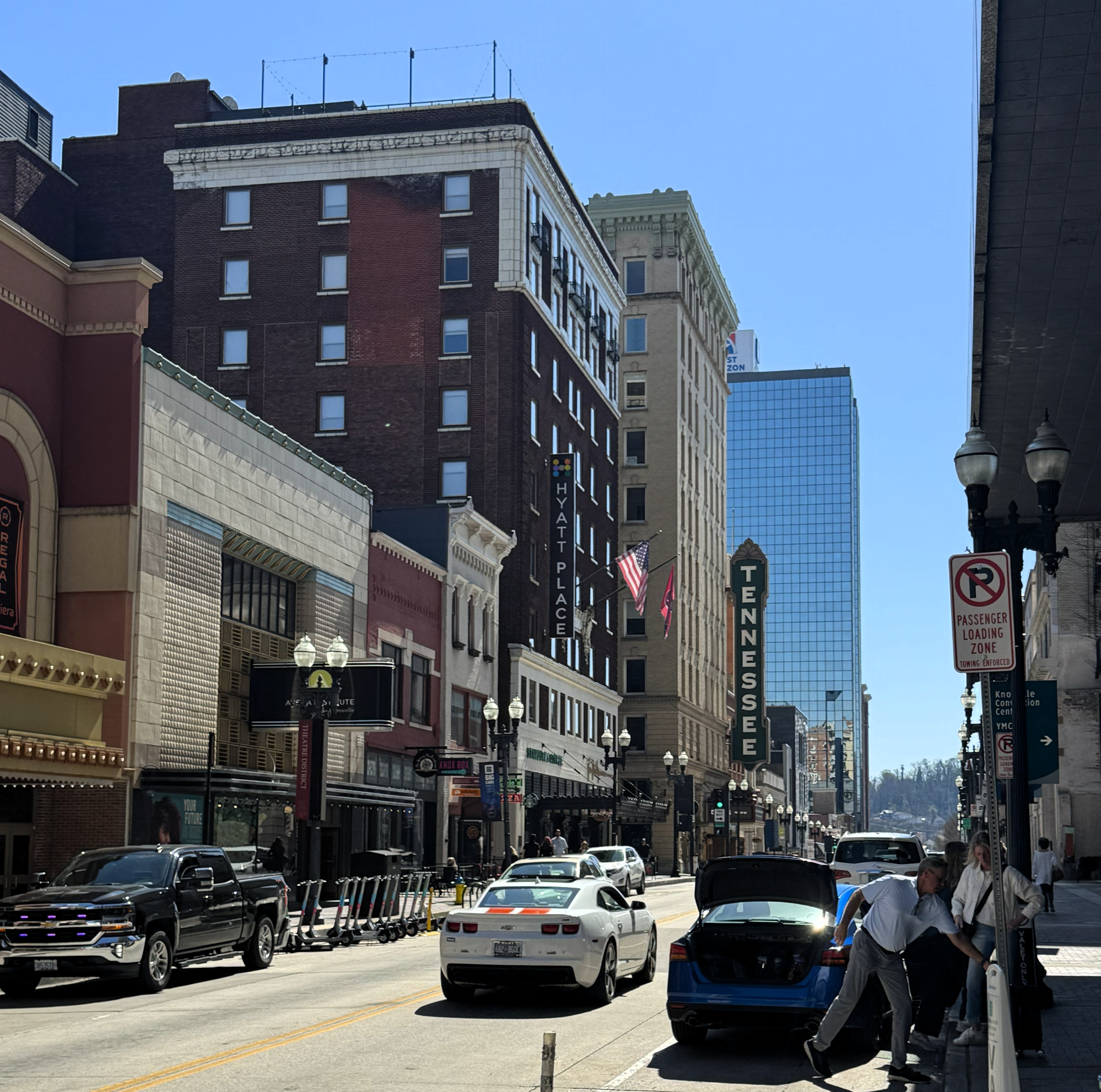
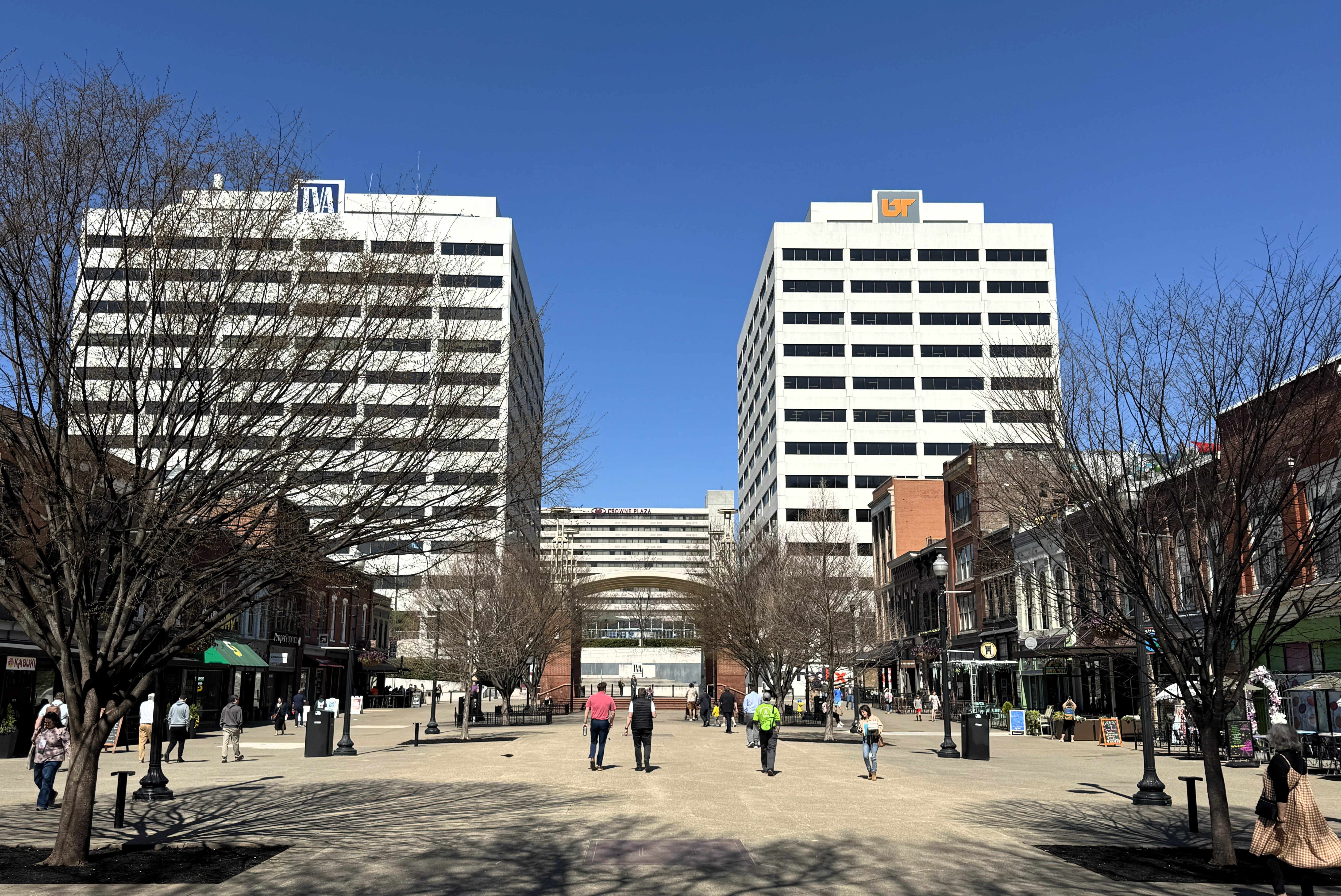
Gay Street is one of the main streets in Knoxville, running south from the business district to the courthouse and then over a bridge across the river.
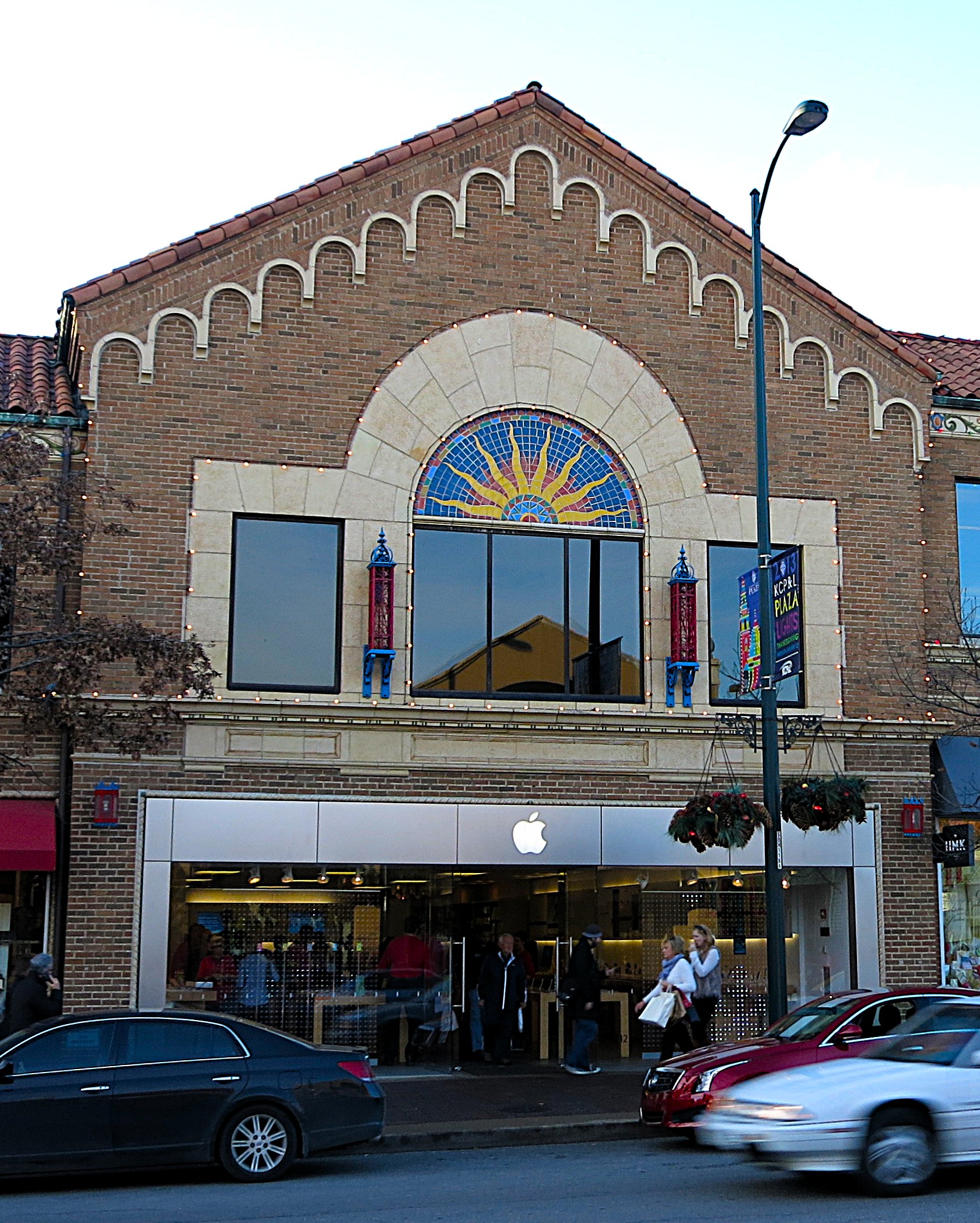
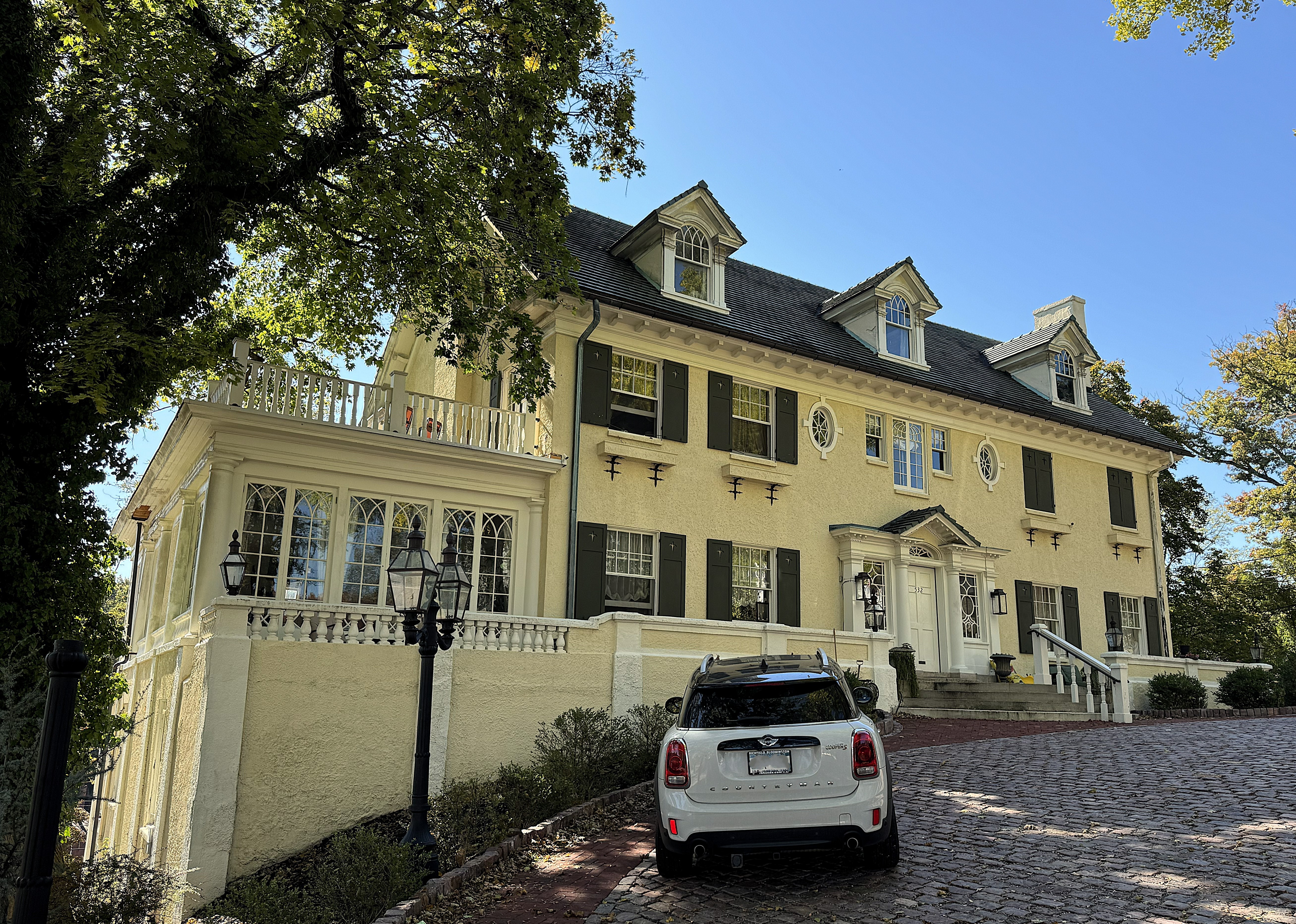
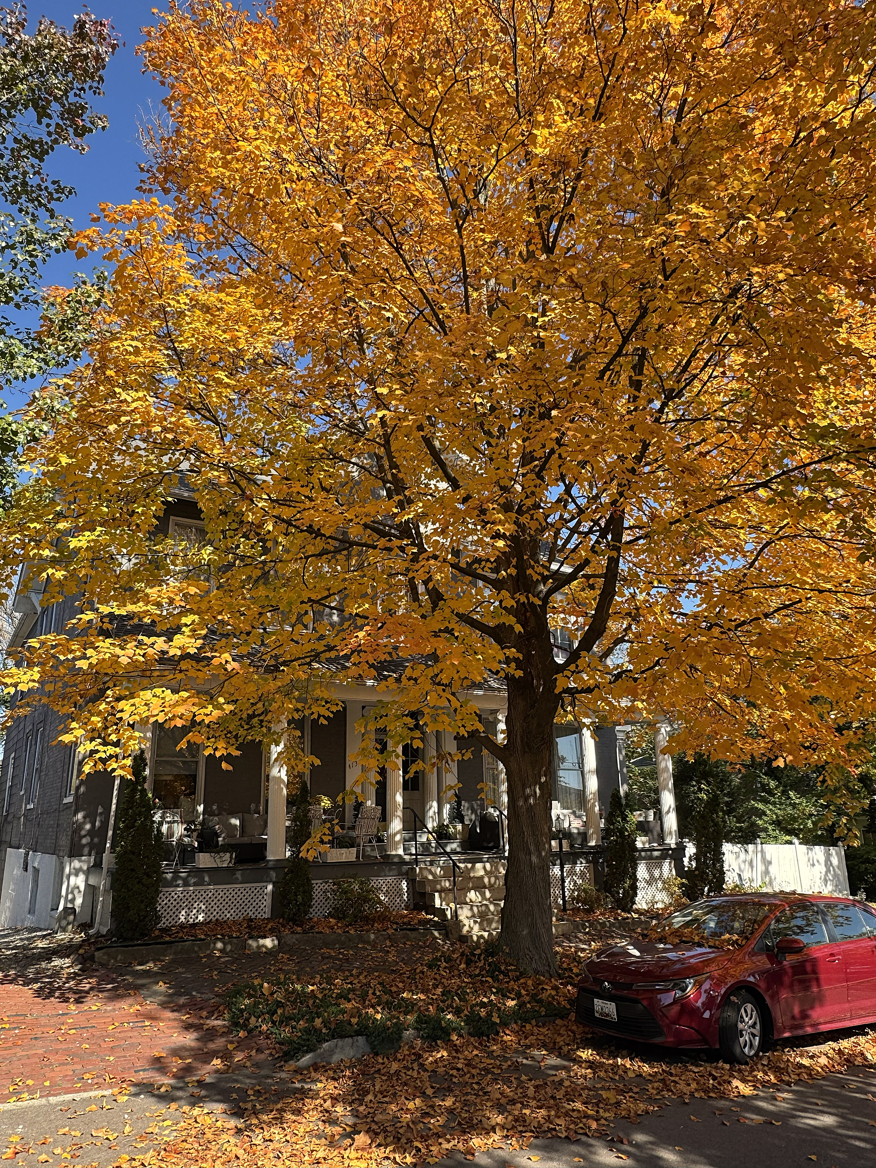
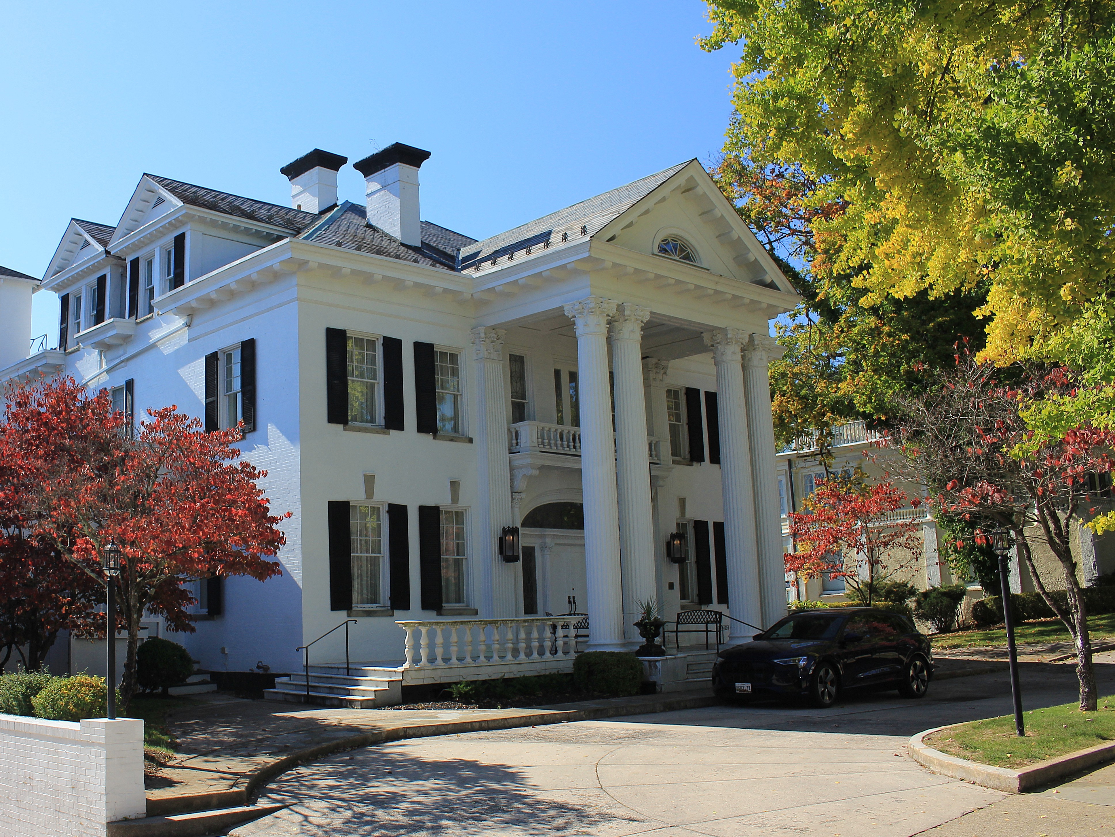
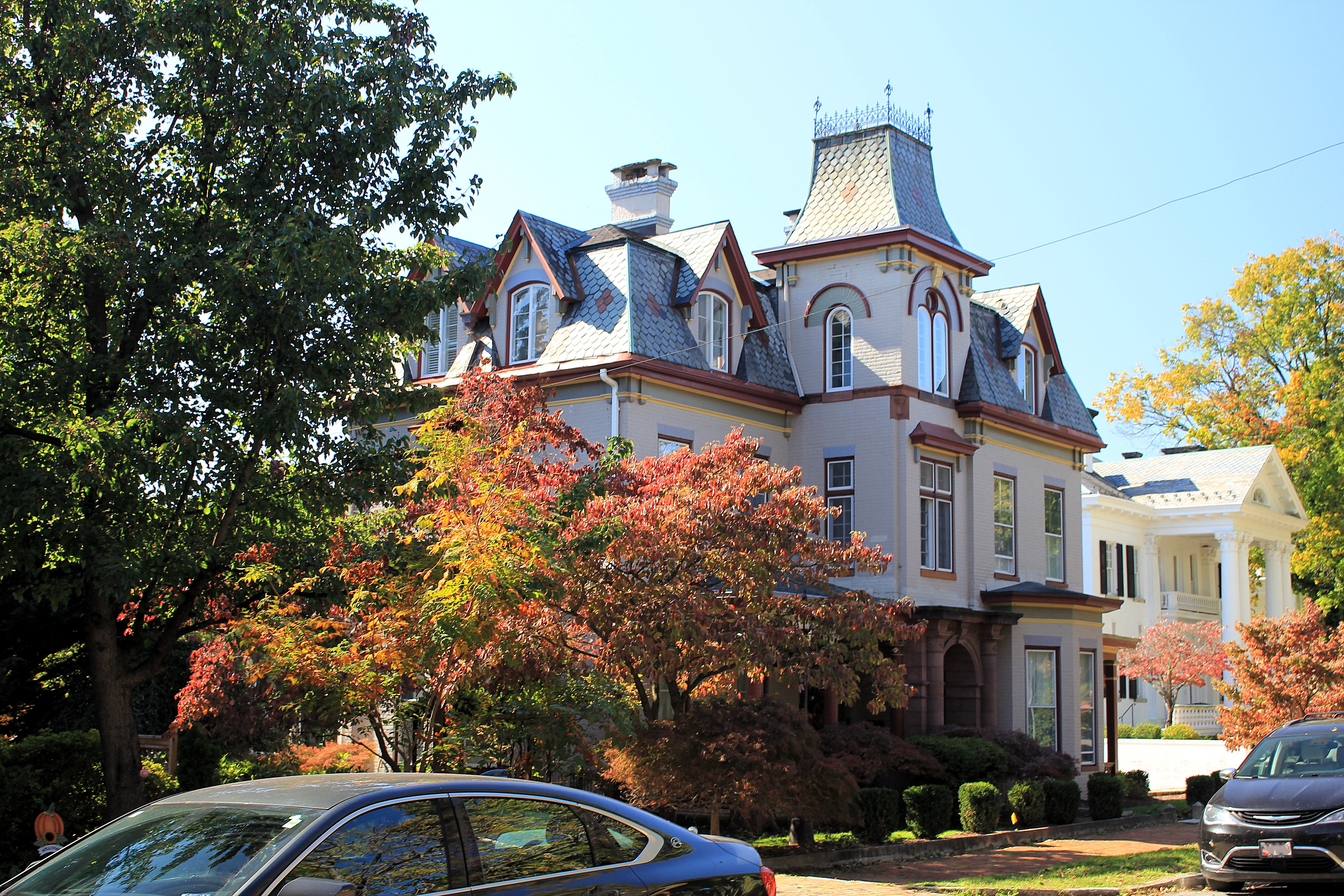
I walked up and down Gay Street, taking photos of many hundred-year-old buildings, most of which are still in great shape. The photo below is from the middle of Gay Street, looking south toward the river. Along Gay Street are the famous Tennessee Theatre (top right photo) and the historic Bijou Theatre (bottom right photo).

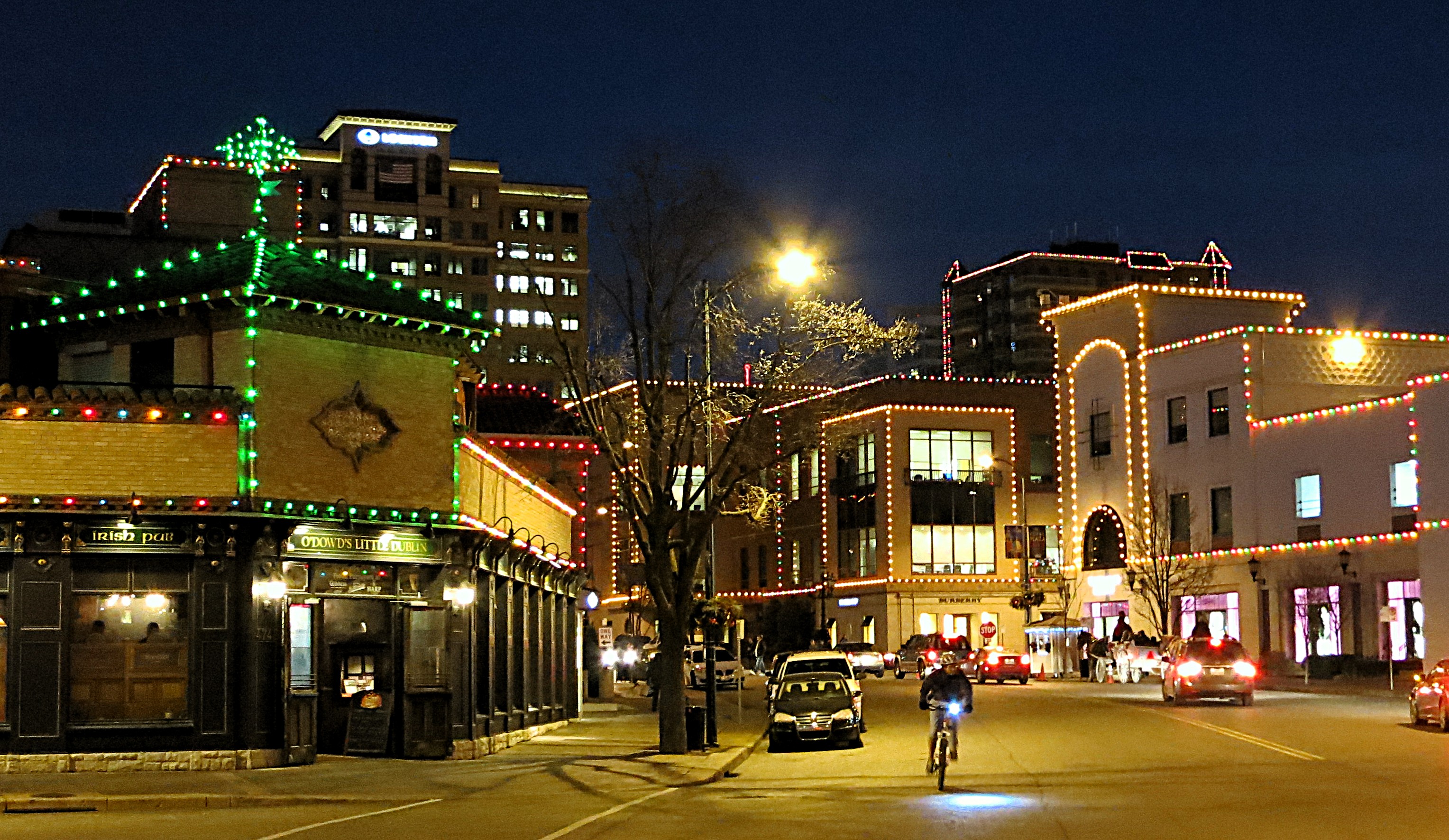
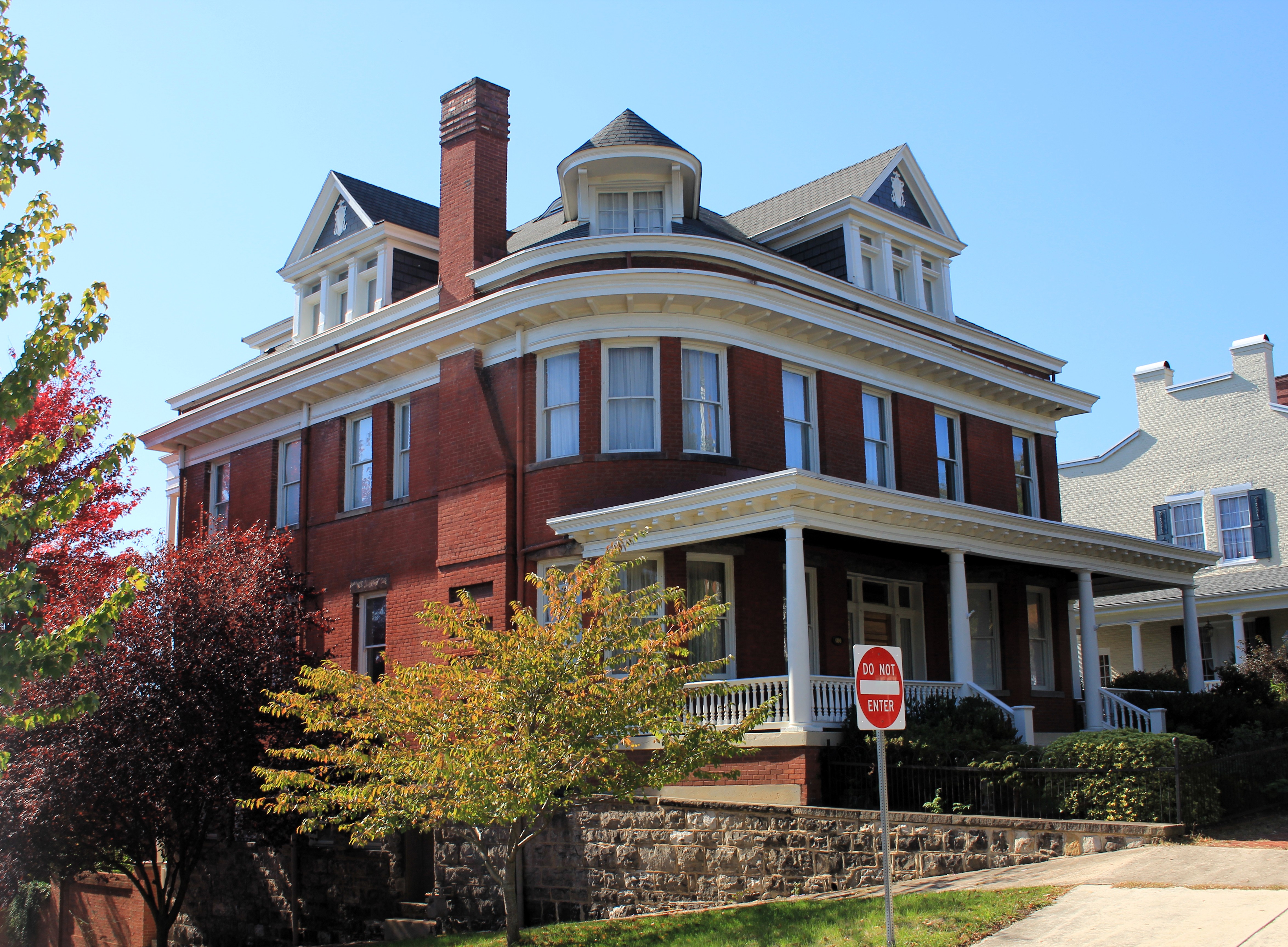
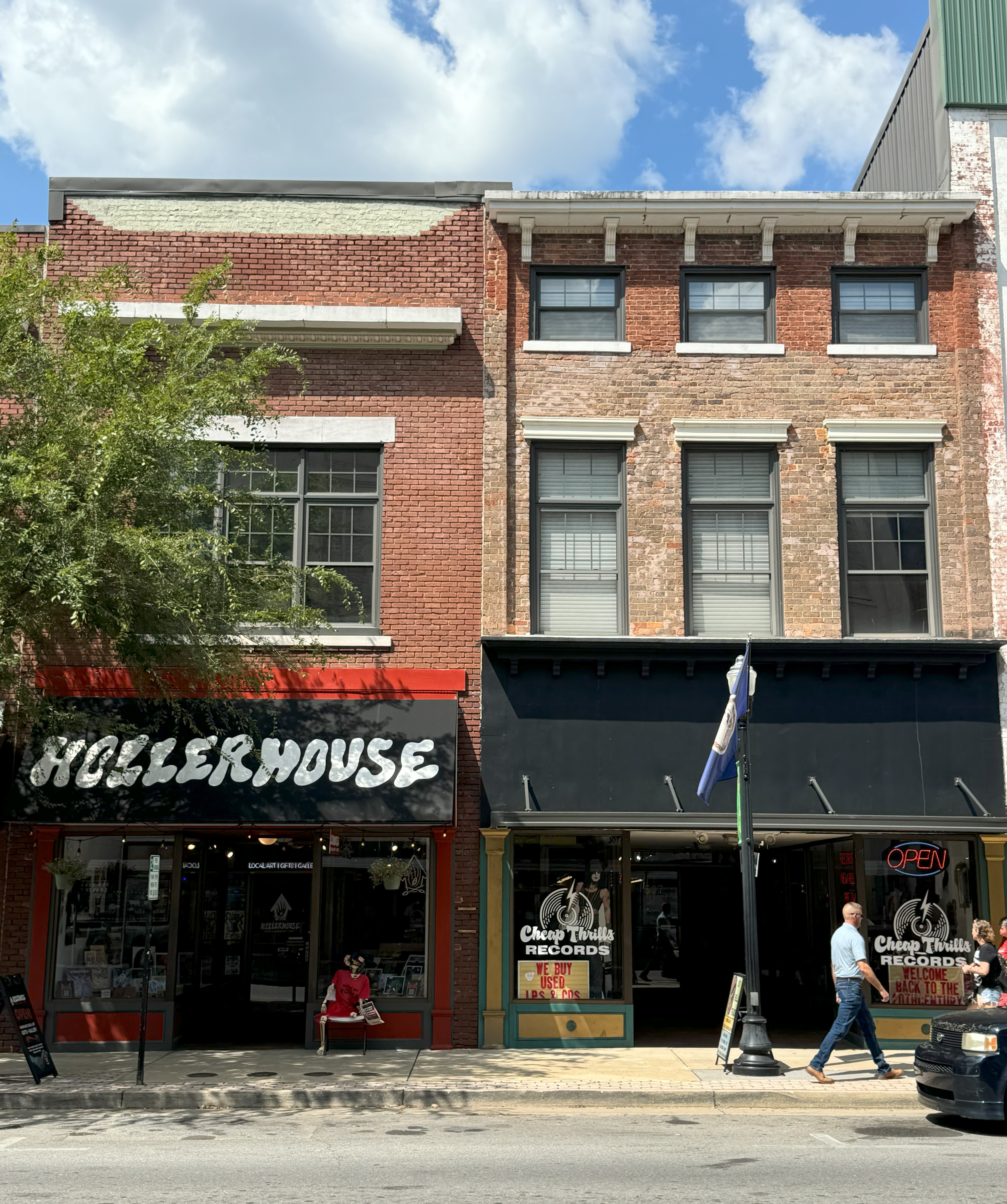
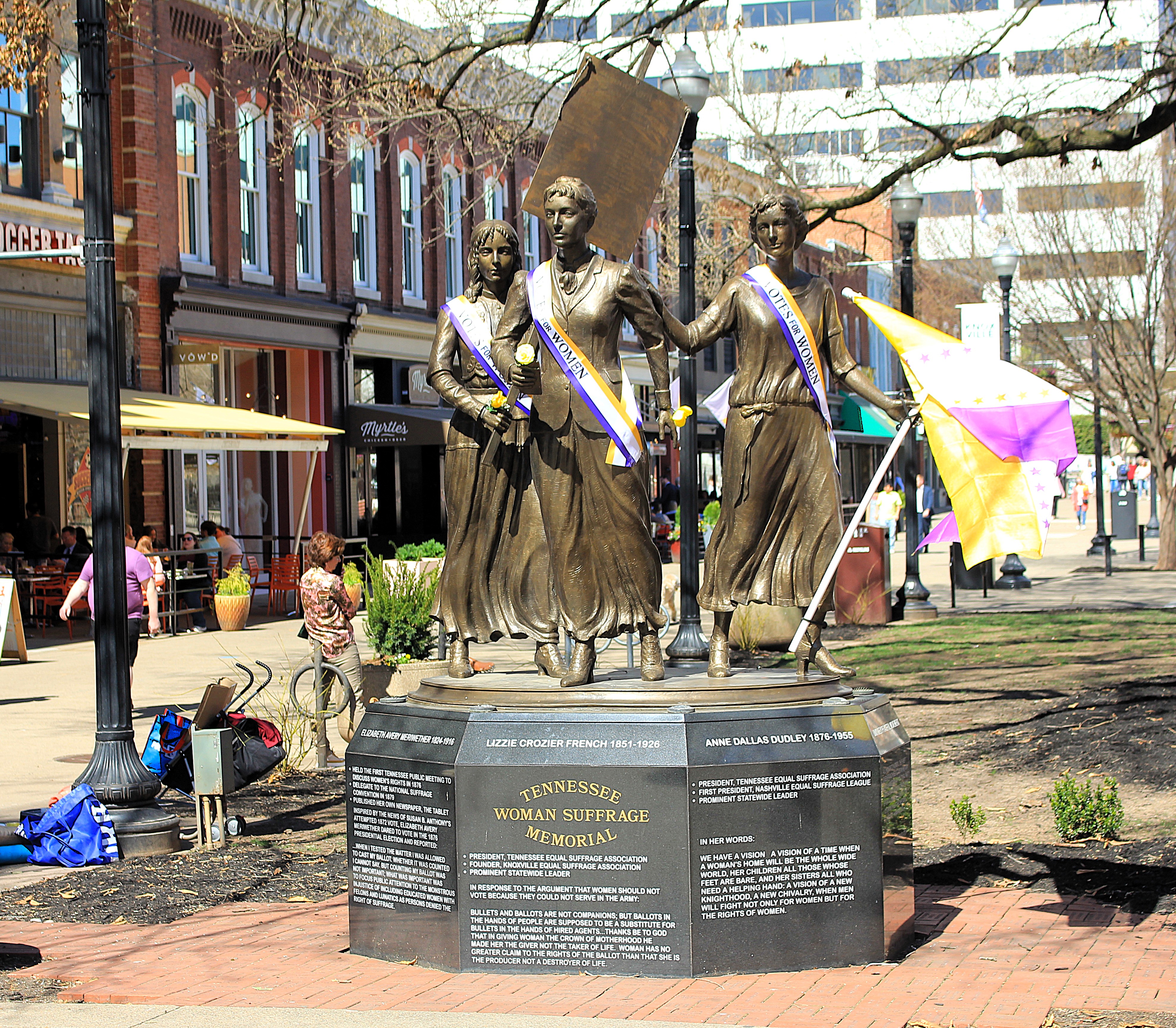
A block away from Gay Street, Market Square is an open space lined with older two—and three-story brick buildings. These are now primarily bars and restaurants. It is a very vibrant area and probably fun for Mardi Gras, St. Patrick’s Day, Cinco de Mayo, the Fourth of July, or any party following a big game at the University of Tennessee.
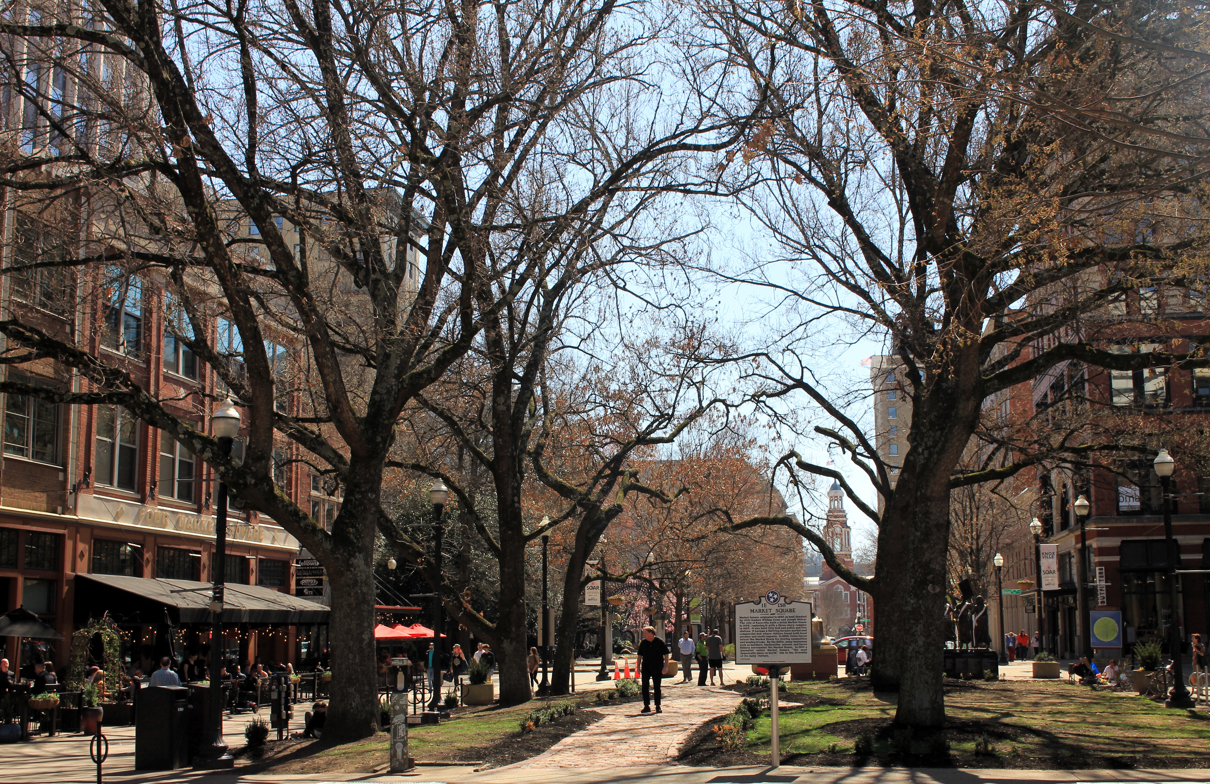
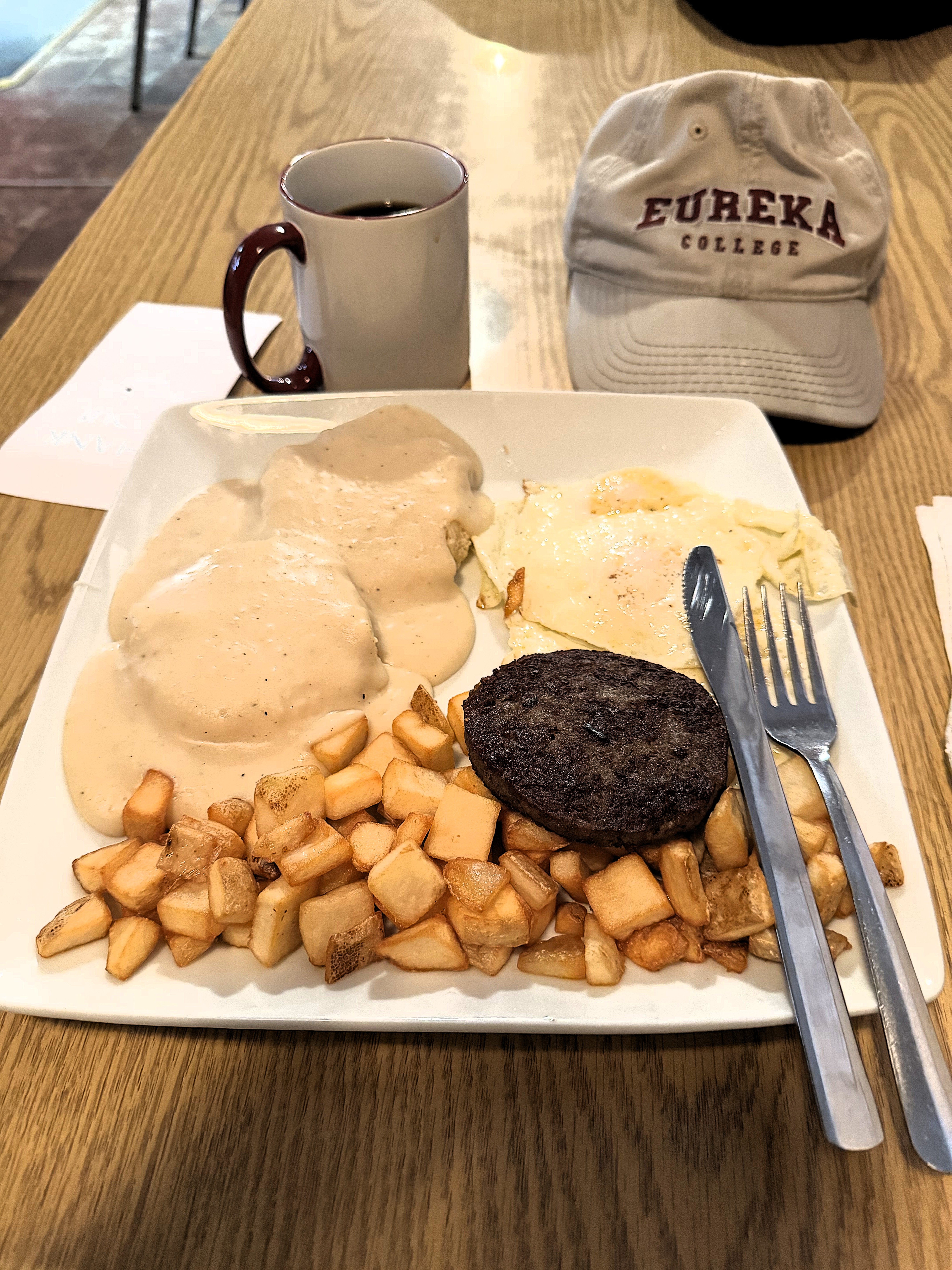
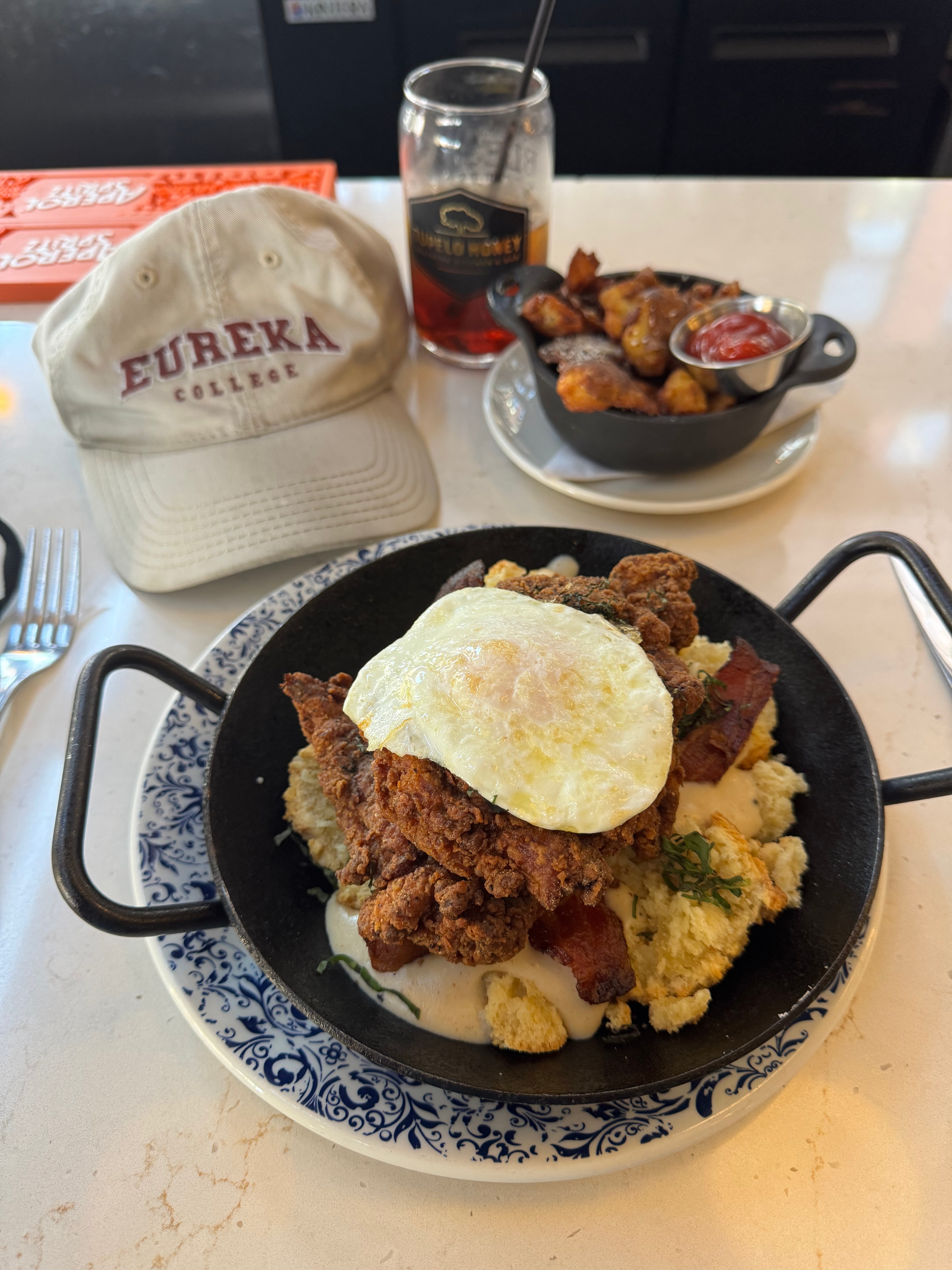
Three more photos of Market Square are below. I ate lunch at Tupelo Honey inside the Oliver Hotel and enjoyed some chicken tenders over biscuits and gravy.

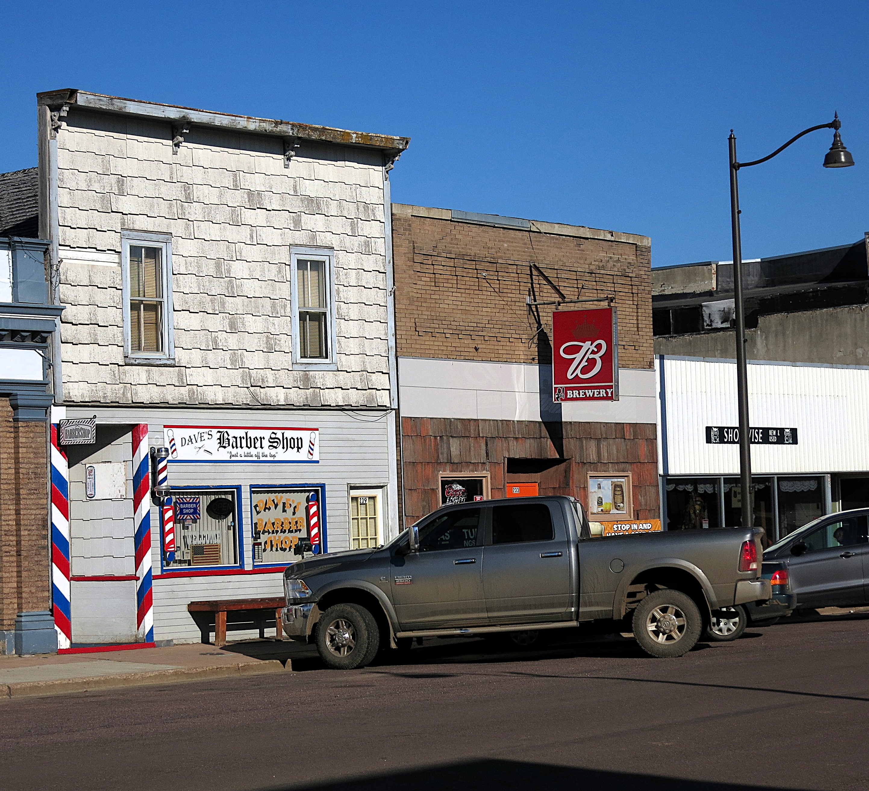
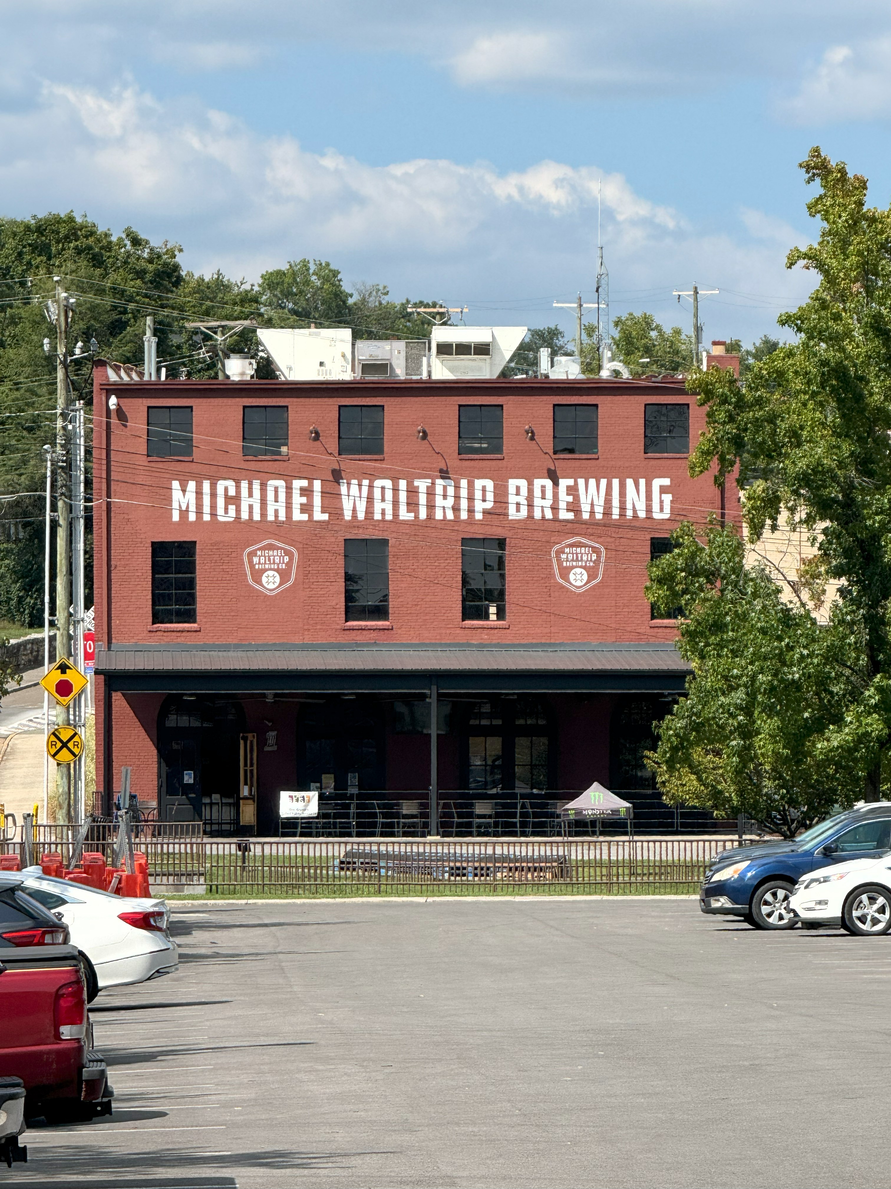
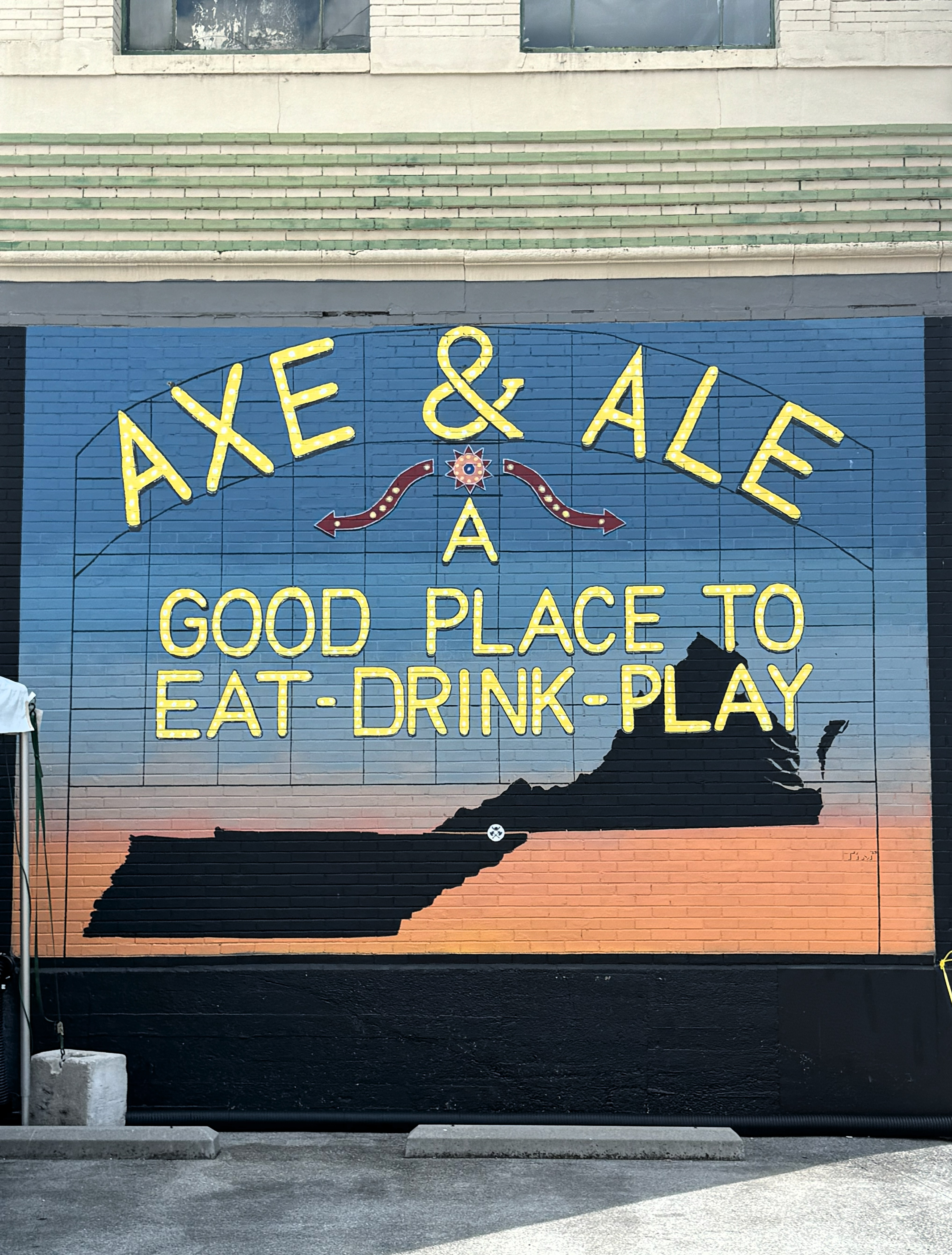
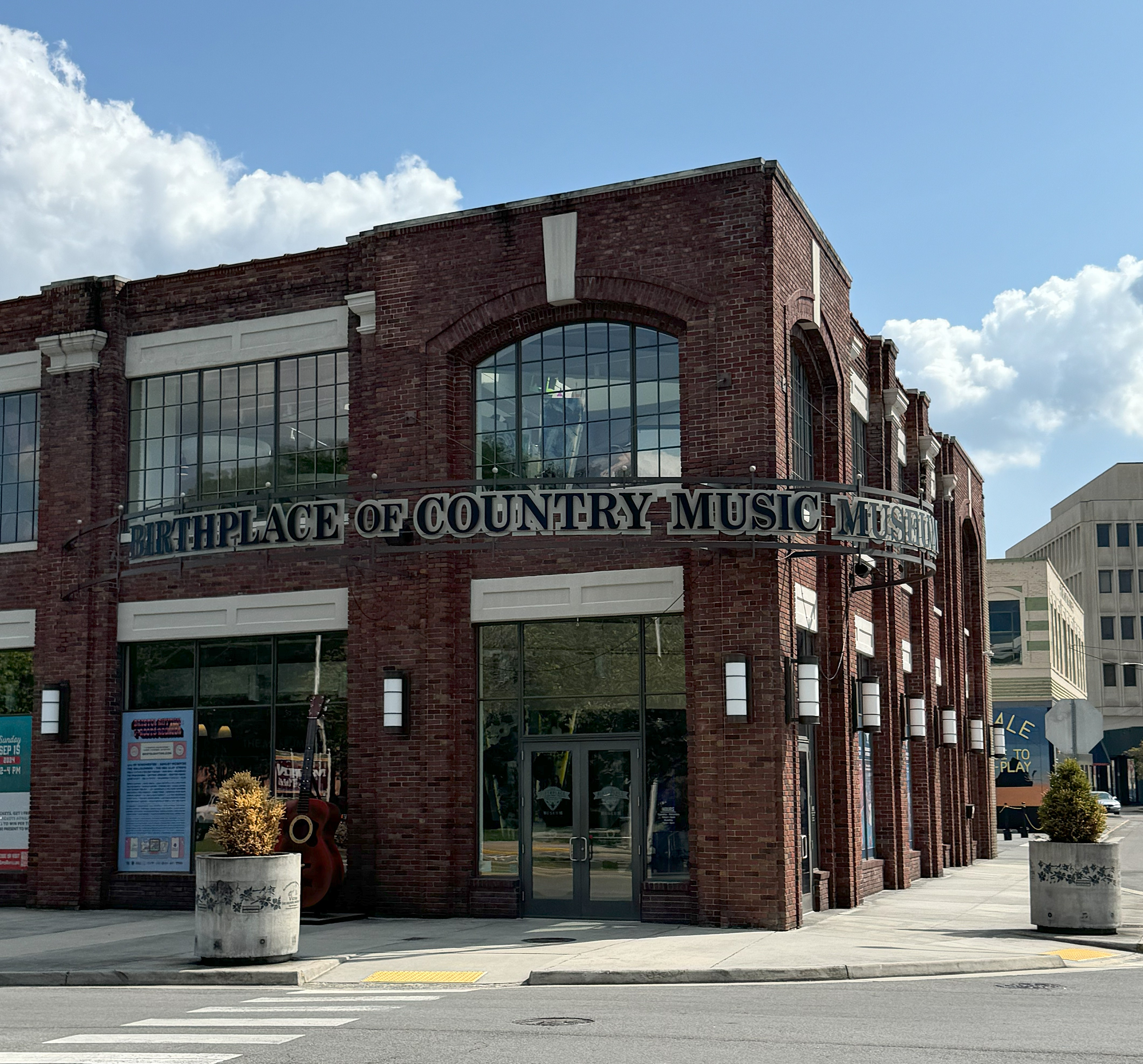
After finishing lunch and Market Square, I did a loop through the Arts District and the Old City. These sections are filled with old buildings, bars, and coffee places where students open their laptops to work while sitting at outdoor tables.

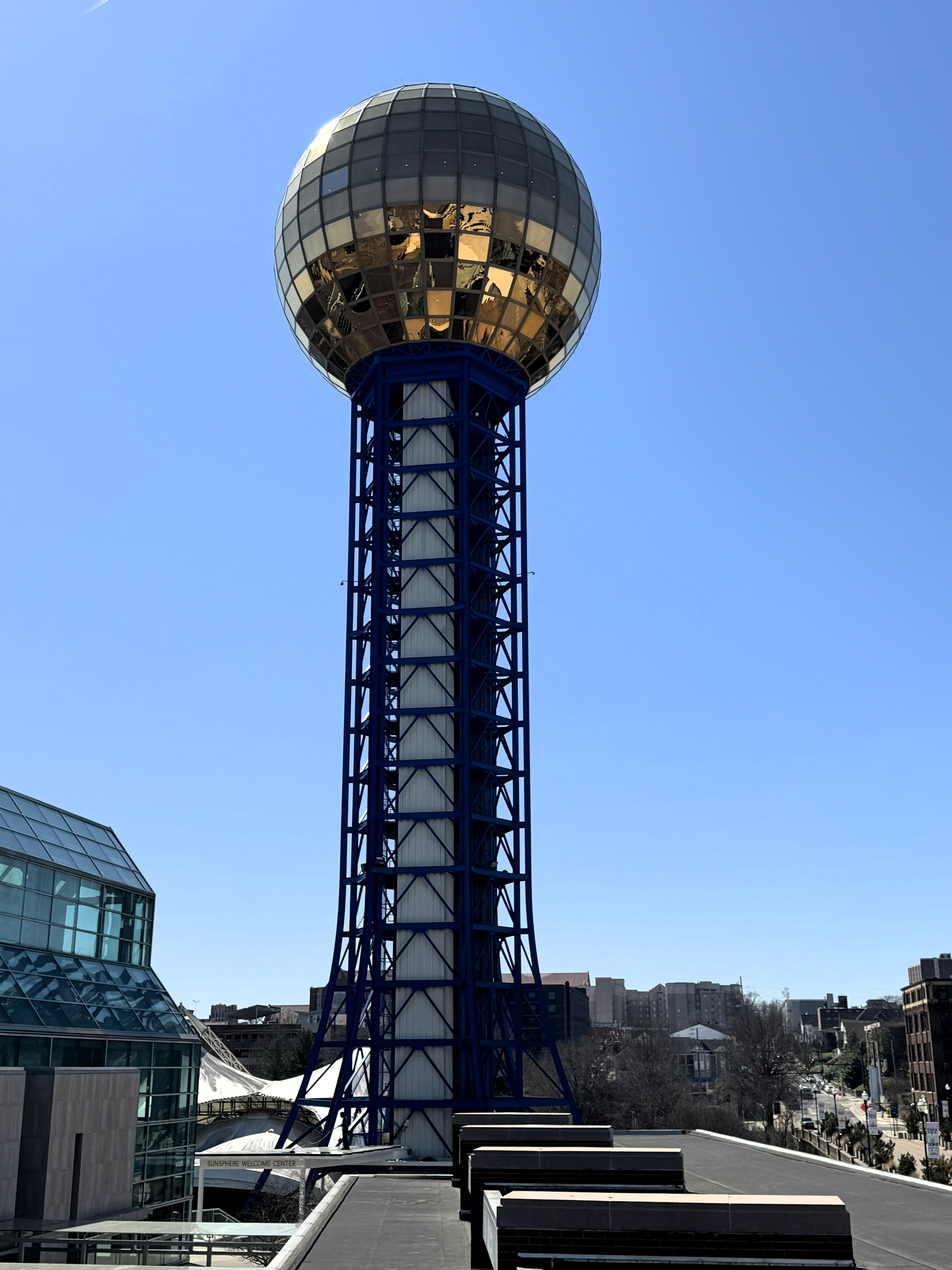
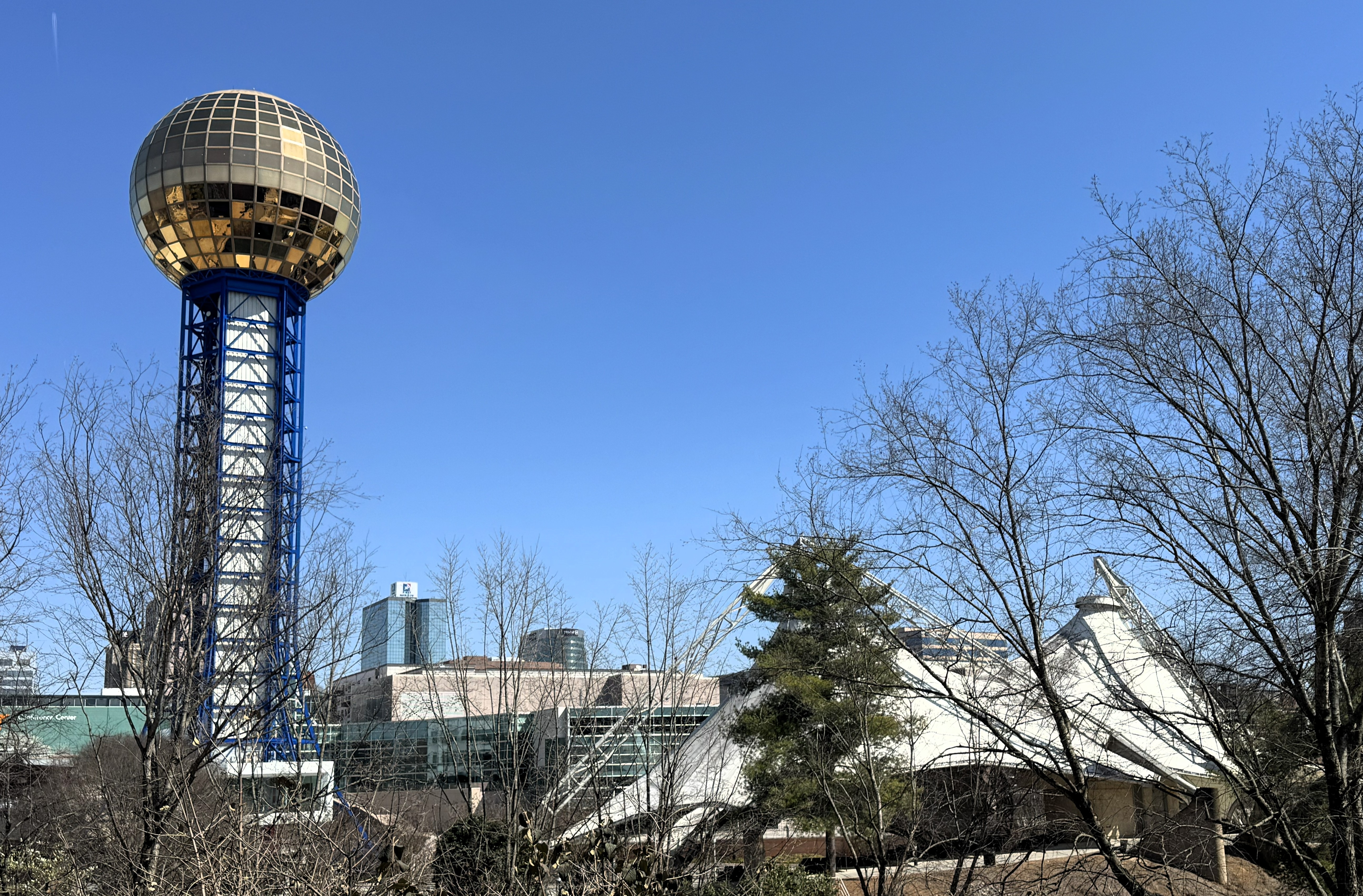
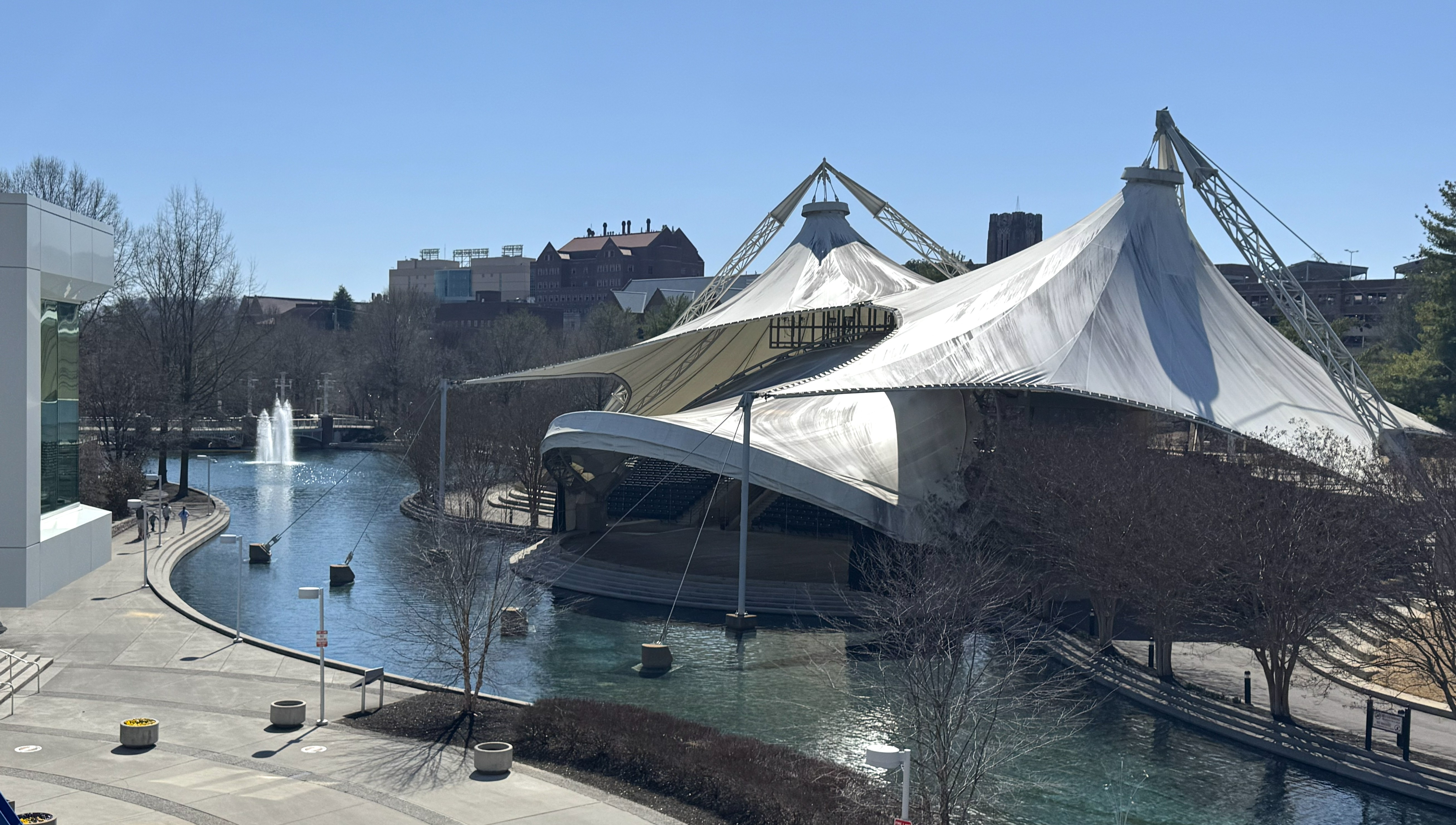
Heading west toward the University of Tennessee campus, I passed by World’s Fair Park and took photos of the World’s Fair Sphere and pavilions built for the event. Knoxville hosted the World’s Fair — officially known as the “Knoxville International Energy Exposition” — in 1982.
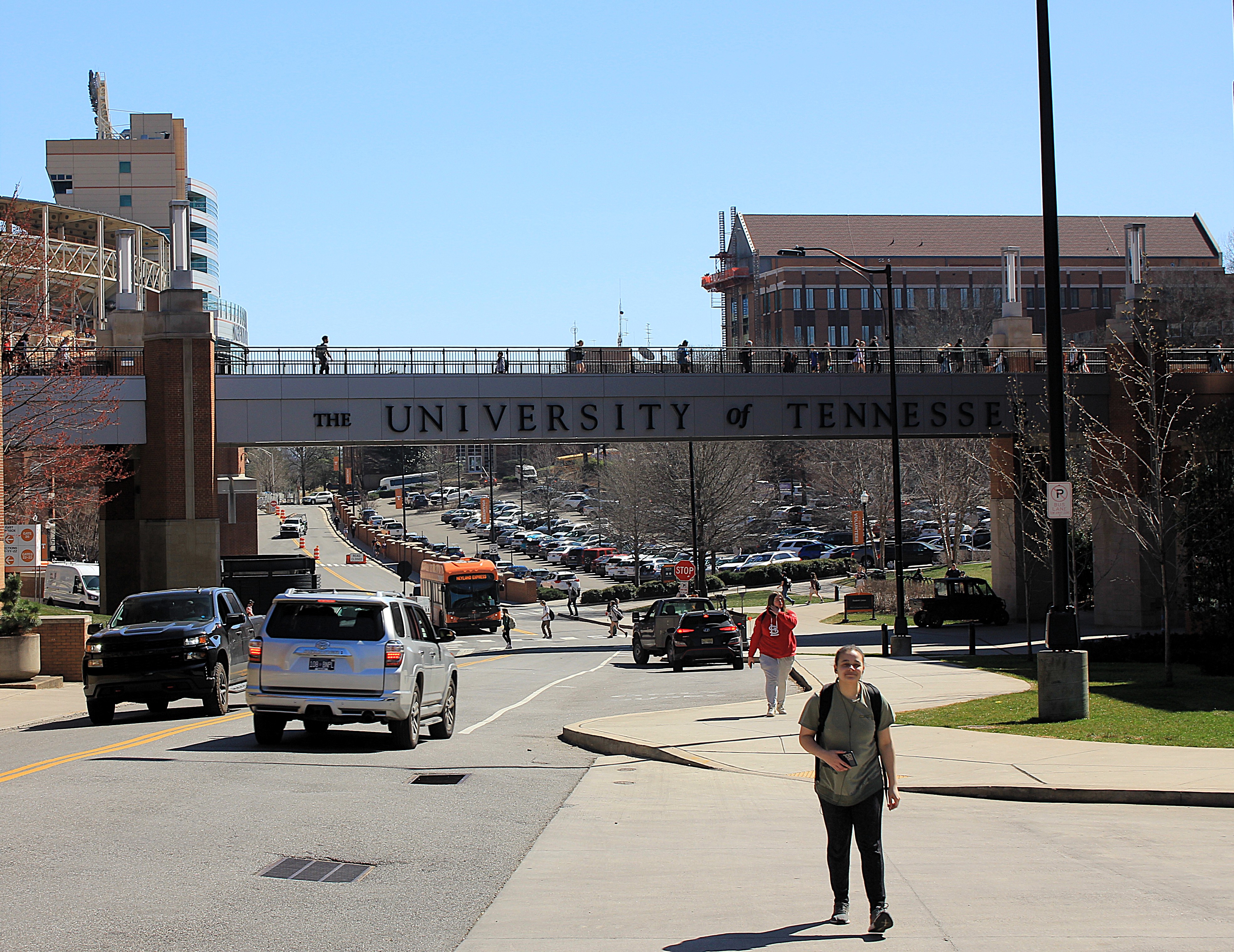
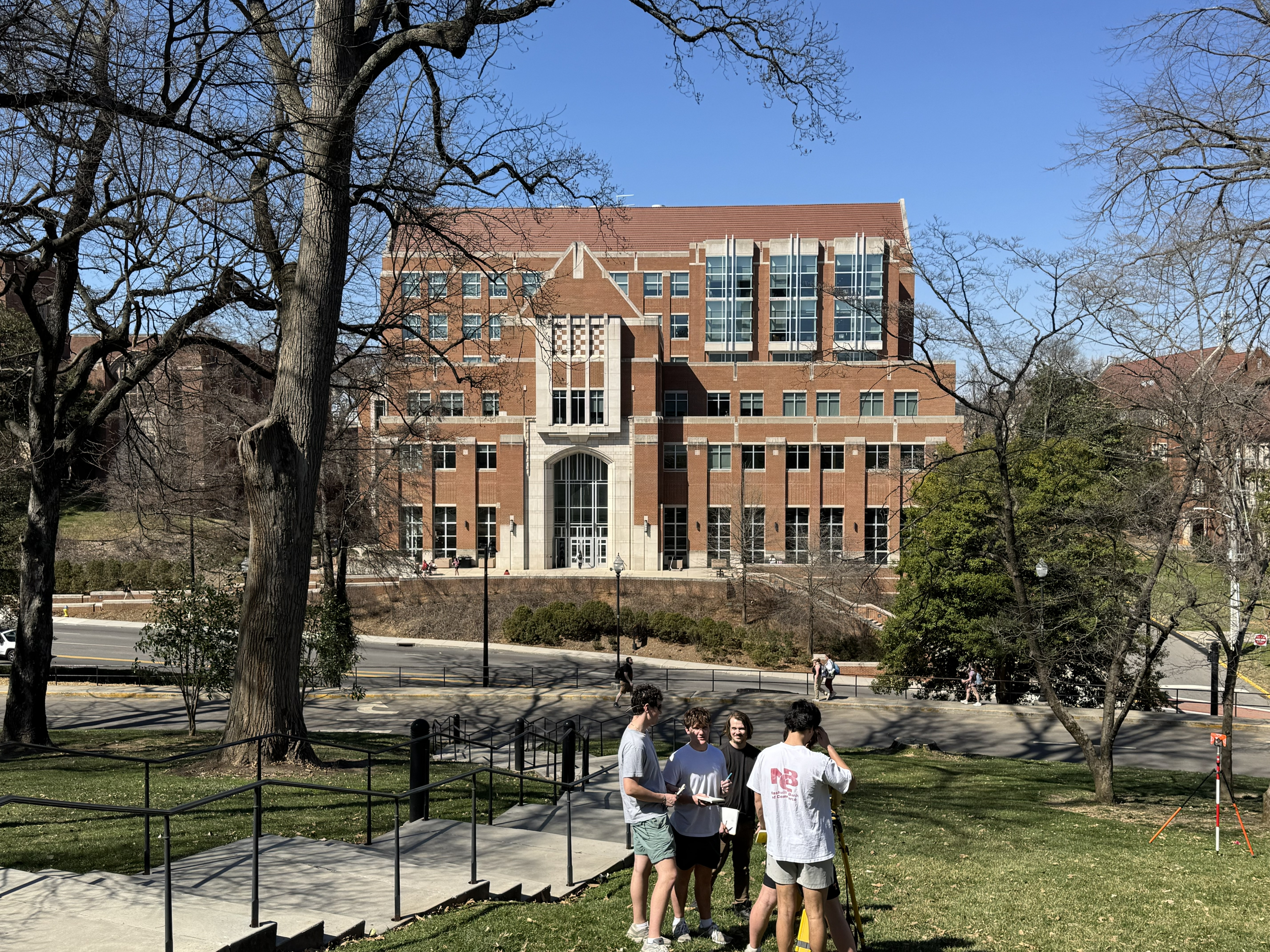
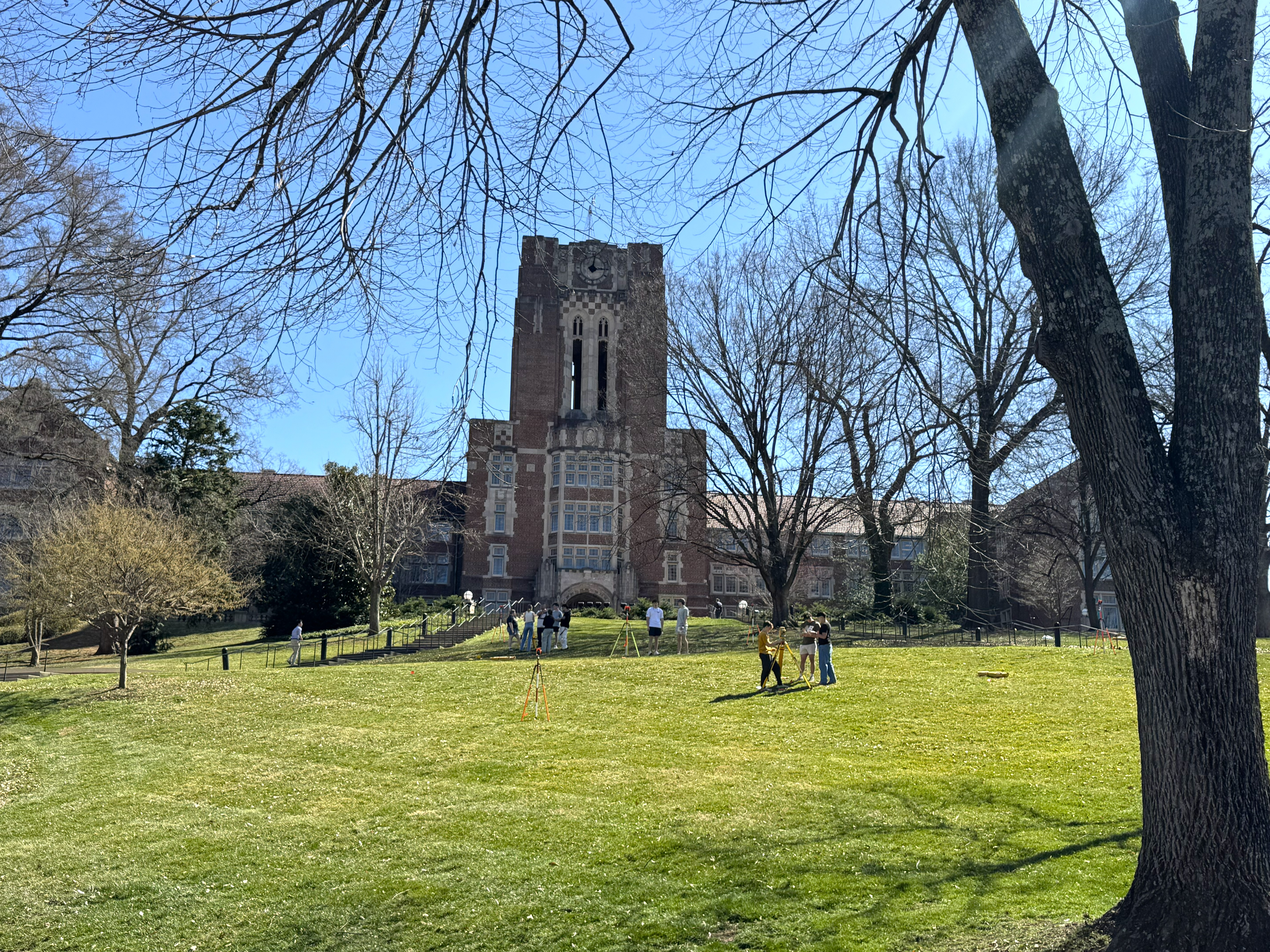
I continued walking for about half a mile to the University of Tennessee campus, using Google Maps to guide me. The streets were full of college students going to and from classes, and I felt a little out of place — although they didn’t seem to mind a man with a camera walking among them.
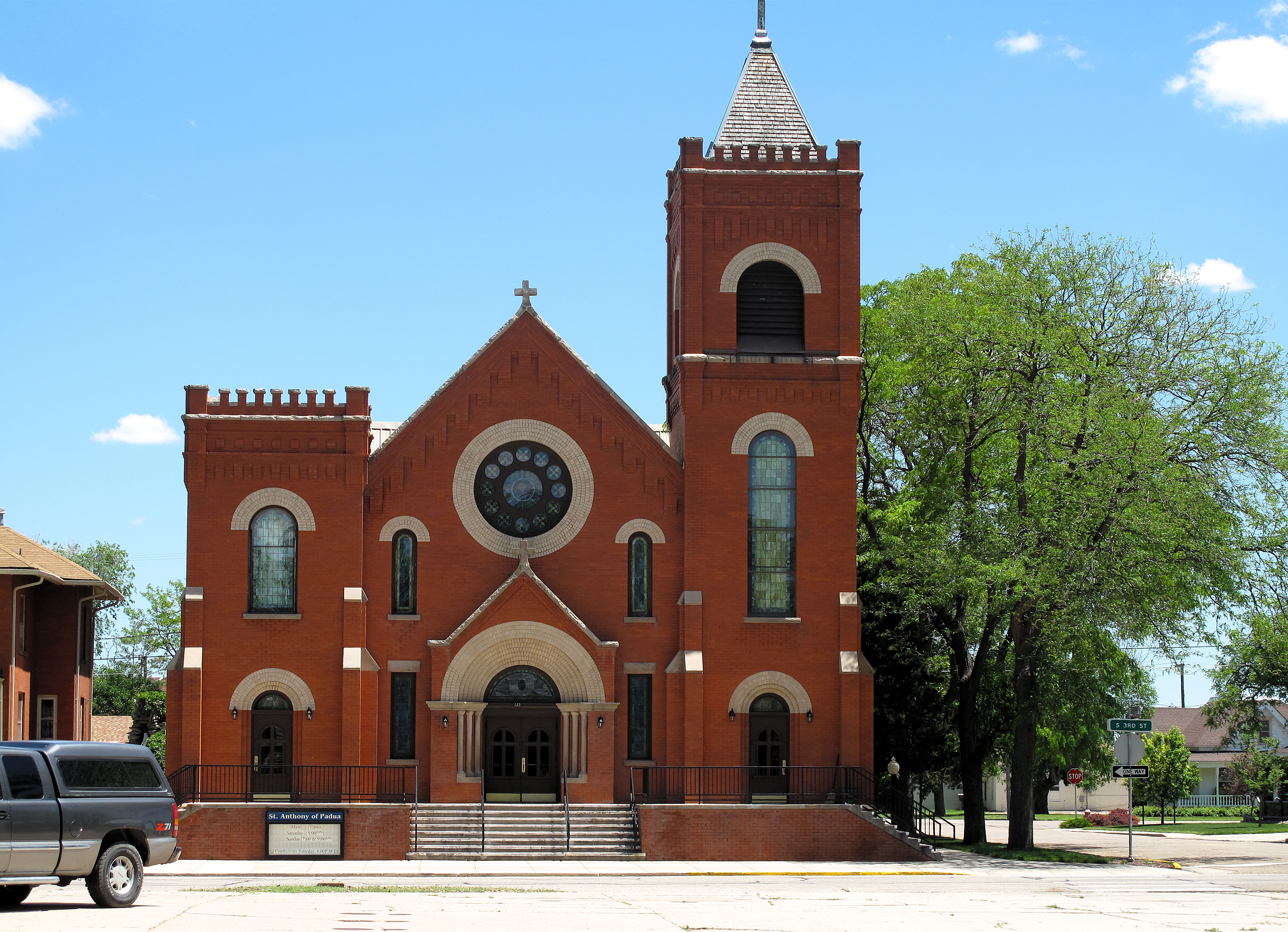
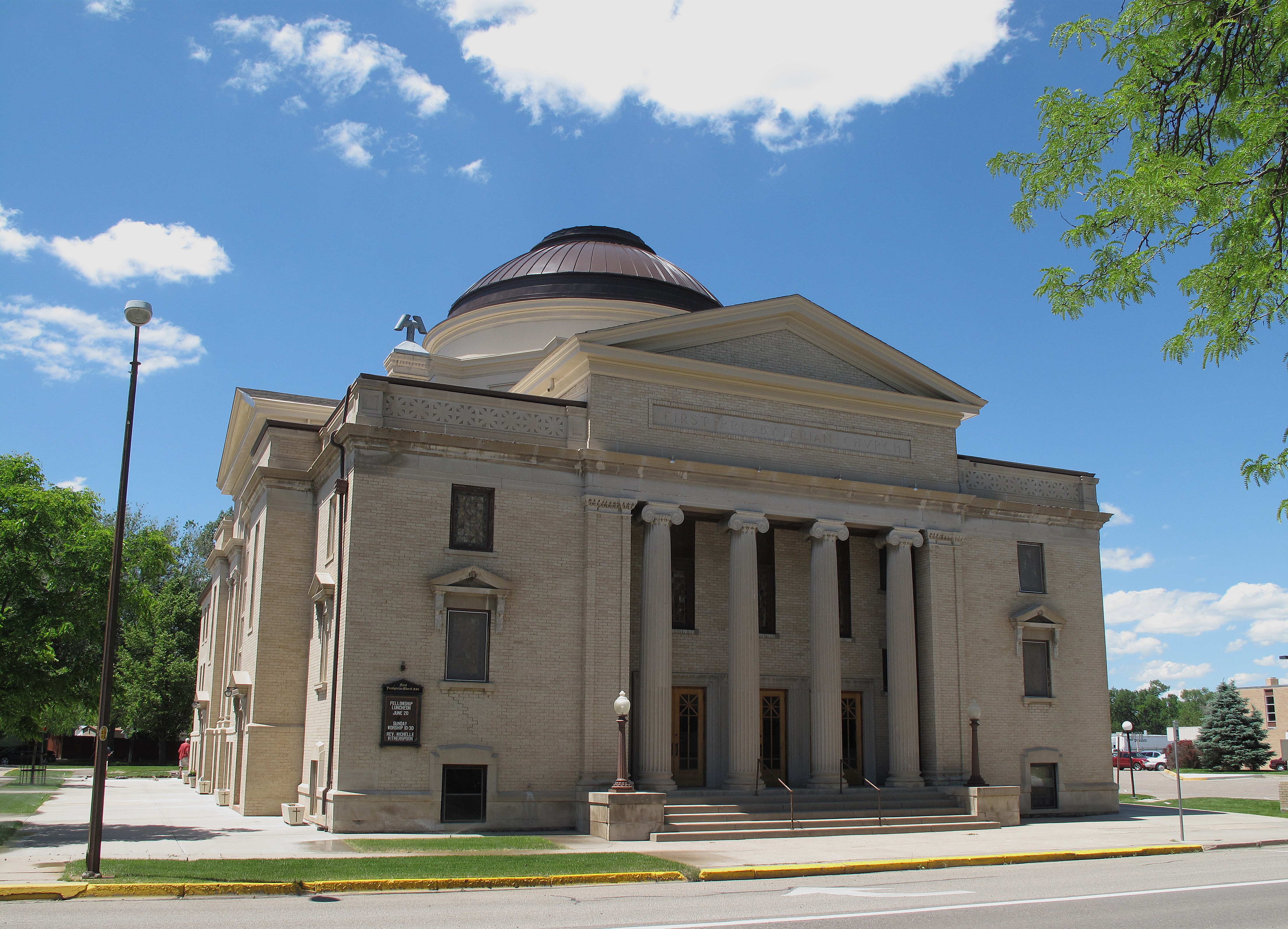
I passed Knoxville’s First Baptist Church building on my way back to the car. I couldn’t help snapping a photo of its classic style.


Click here for a list of all TimManBlog American County Seats Series posts.
The photos in this post were taken on March 12, 2025, and are copyrighted by Tim Seibel.
Donations to TimManBlog
I post about a visit to one of America’s 3,150 county seats each month. Donations are greatly appreciated to help defray my travel costs.
$5.00
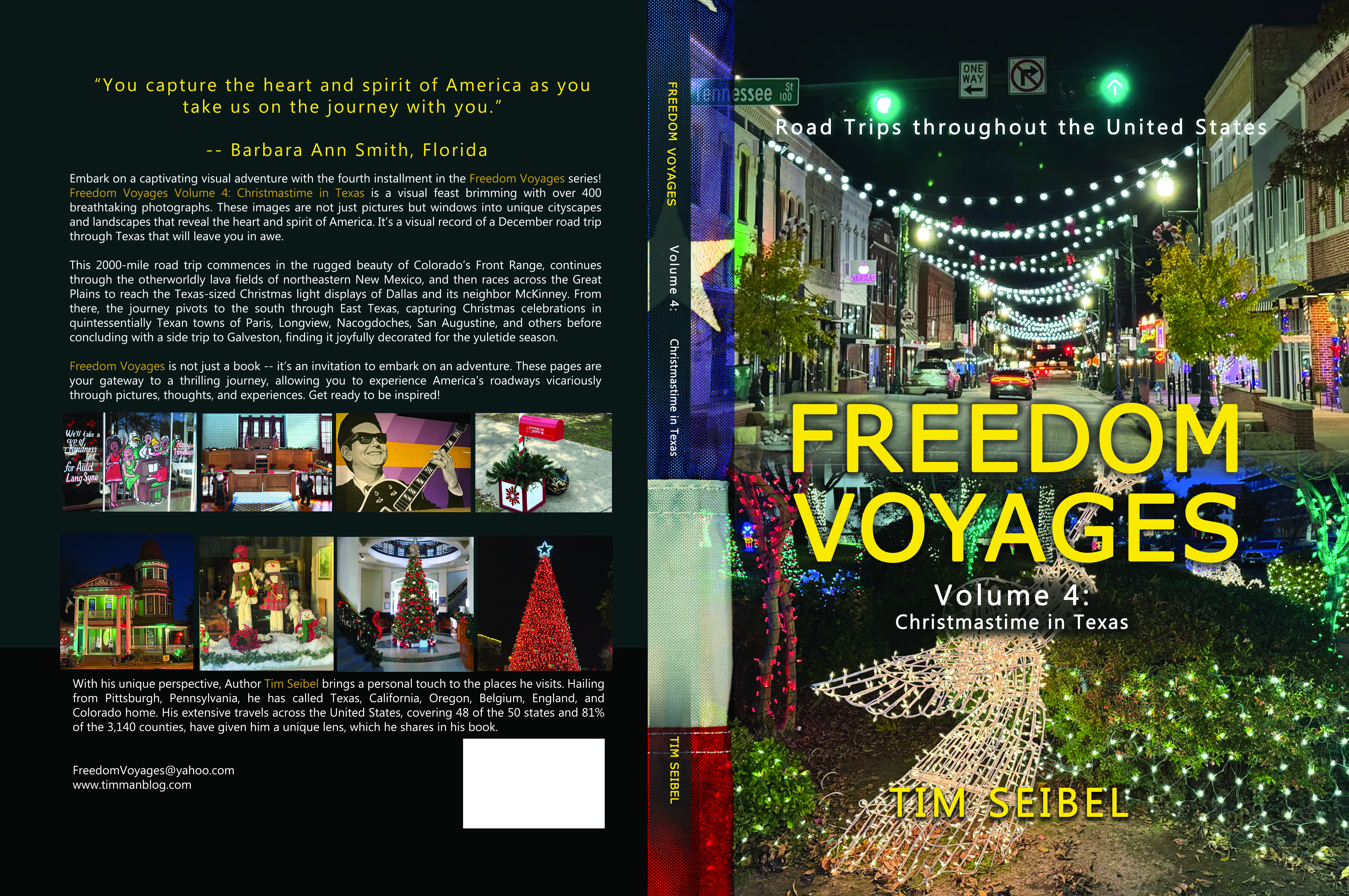
Check out the FREEDOM VOYAGES book series! These books document my road trips across the United States and include hundreds of stunning photographs. Each of the four books in the series is available on Amazon and Barnes & Noble. This includes my most recent release, FREEDOM VOYAGES Volume 4: Christmastime in Texas!
Earlier volumes in the FREEDOM VOYAGES series are also available:
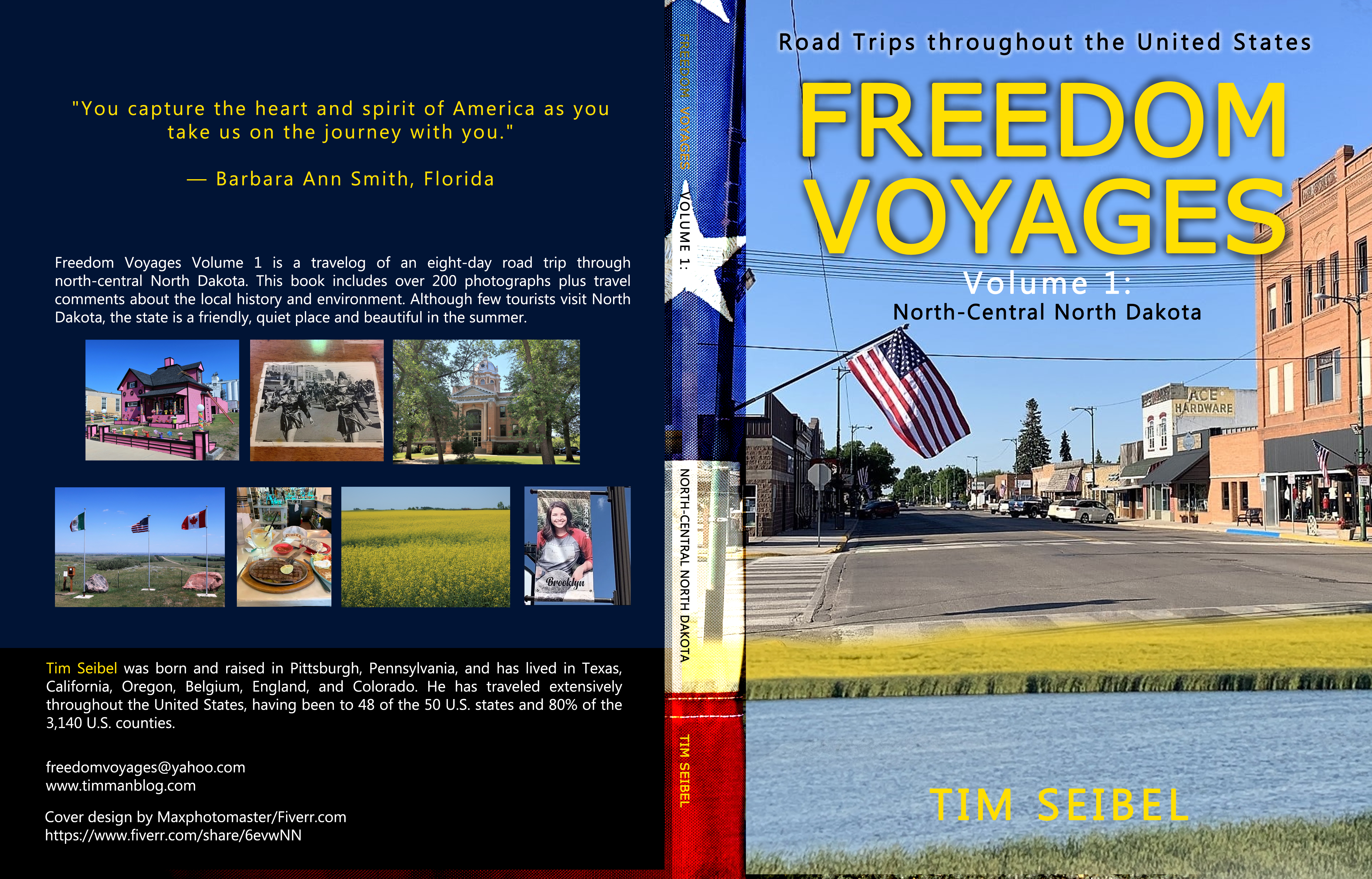
Vol. 1: North-Central North Dakota
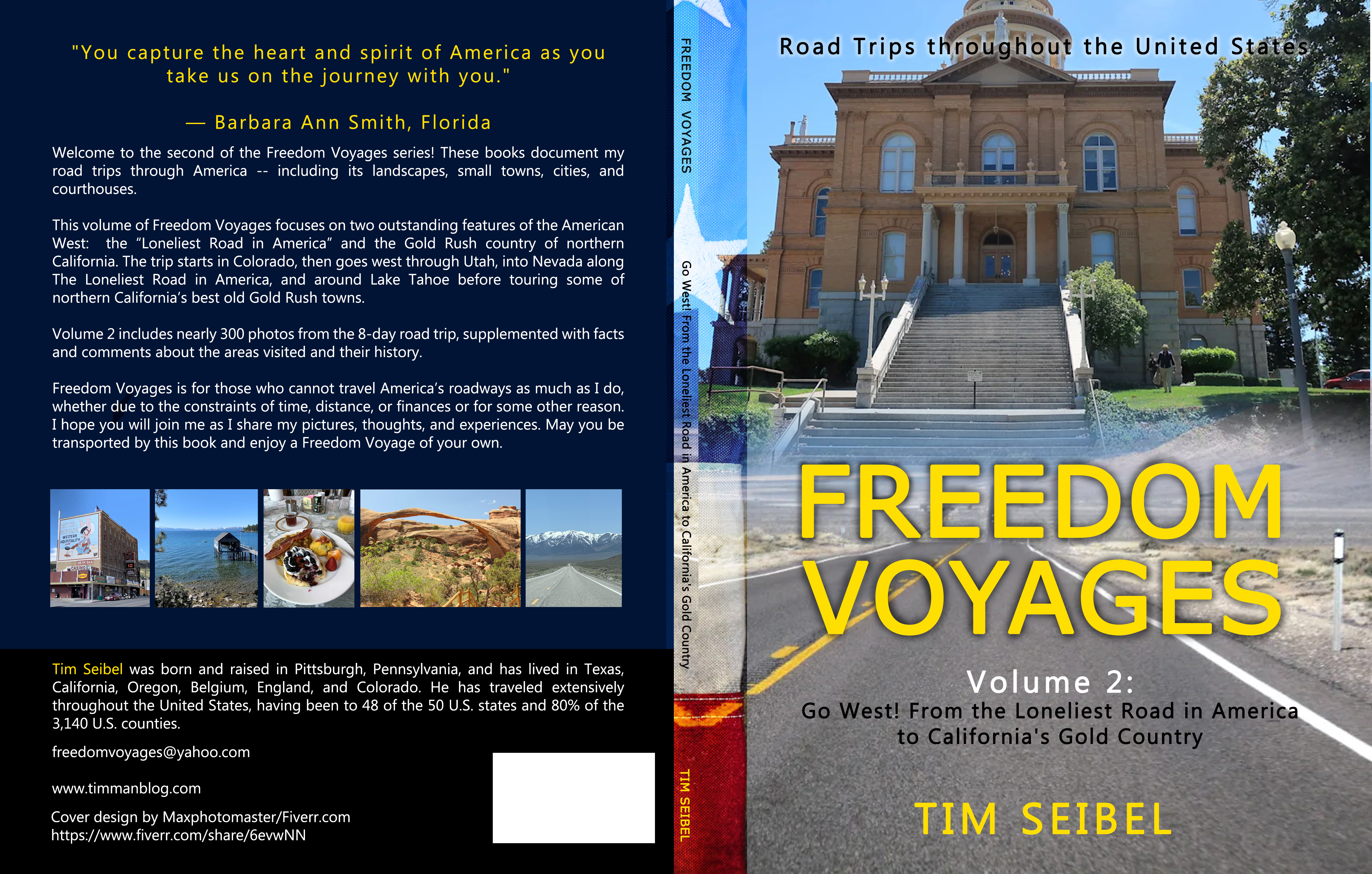
Vol. 2: Go West! From the Loneliest Road in America to California’s Gold Country
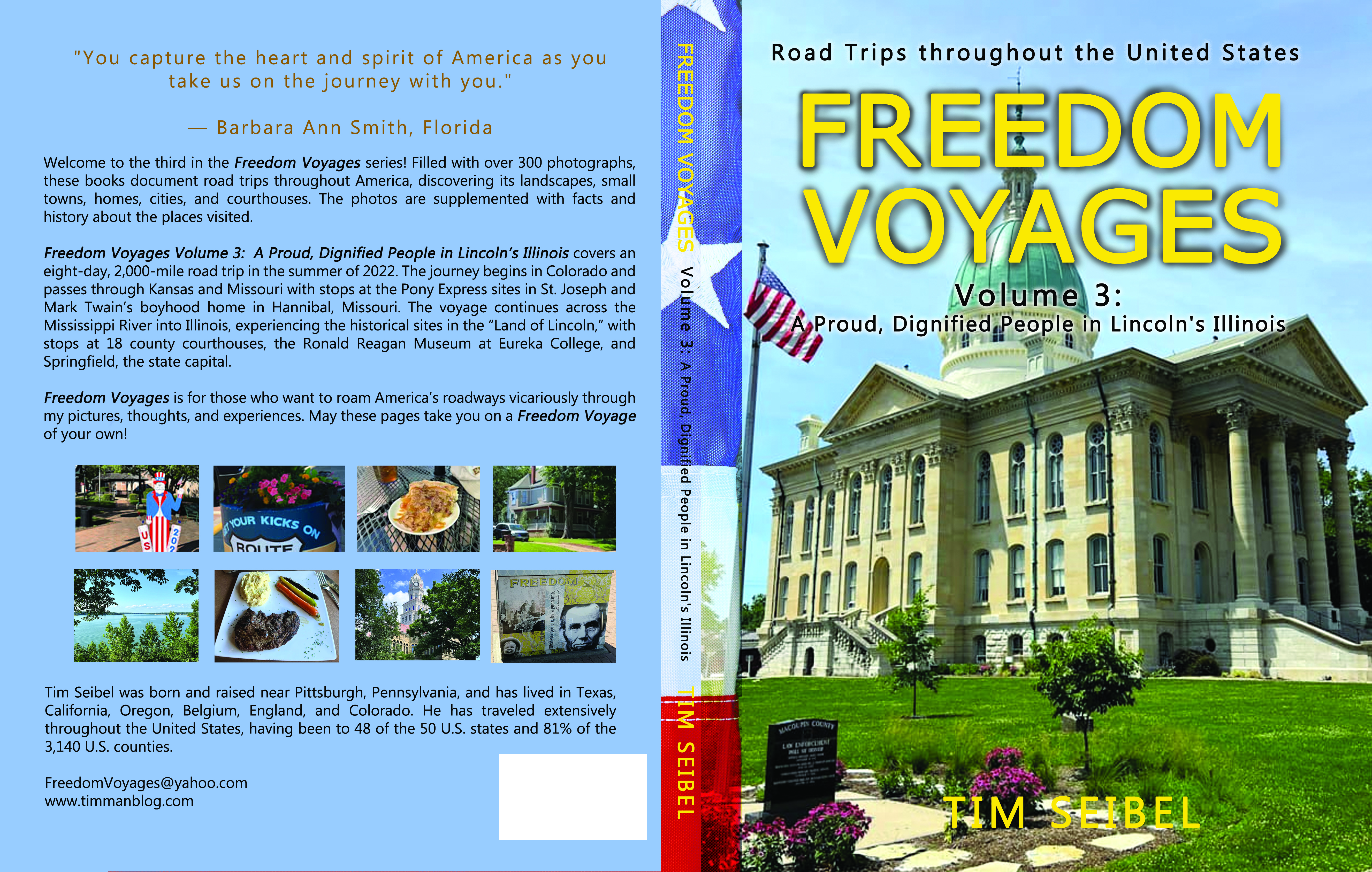
Vol. 3: A Proud, Dignified People in Lincoln’s Illinois
All FREEDOM VOYAGES books are on sale at Amazon.com and Barnes & Noble.