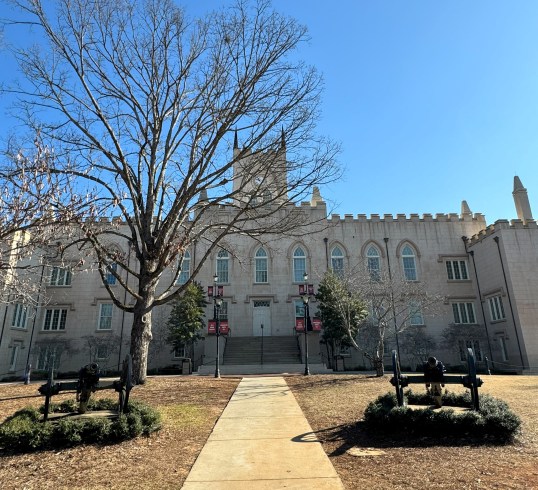
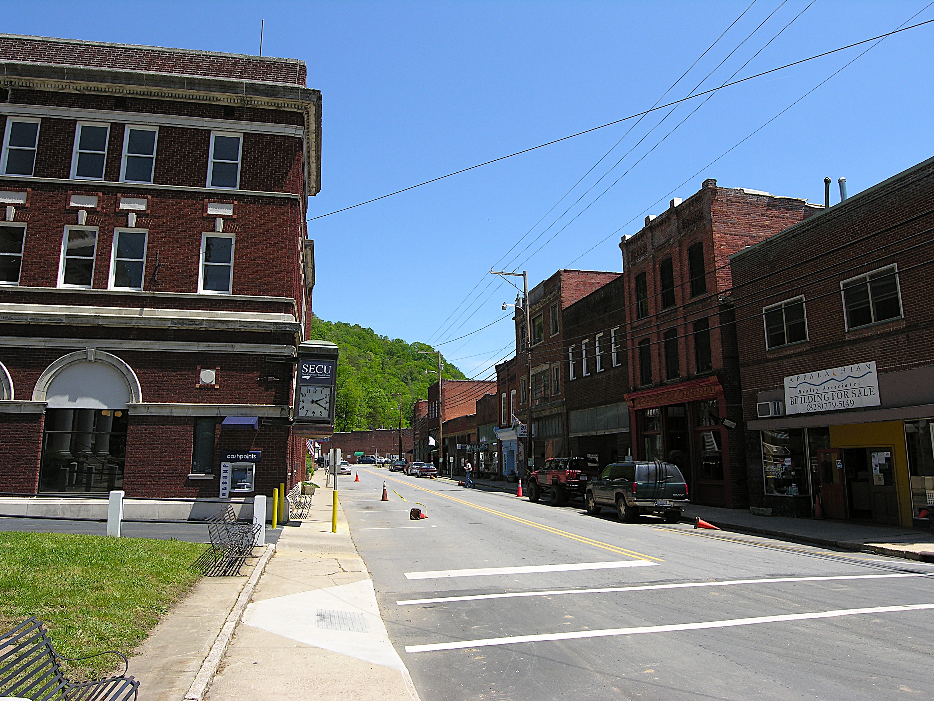
Marshall, North Carolina, before Hurricane Helene
Please consider donating to support my travels using the form at the bottom of the post. PayPal, Visa, American Express, Mastercard, Discover, and Maestro are accepted. Thank you.
May 26, 2025
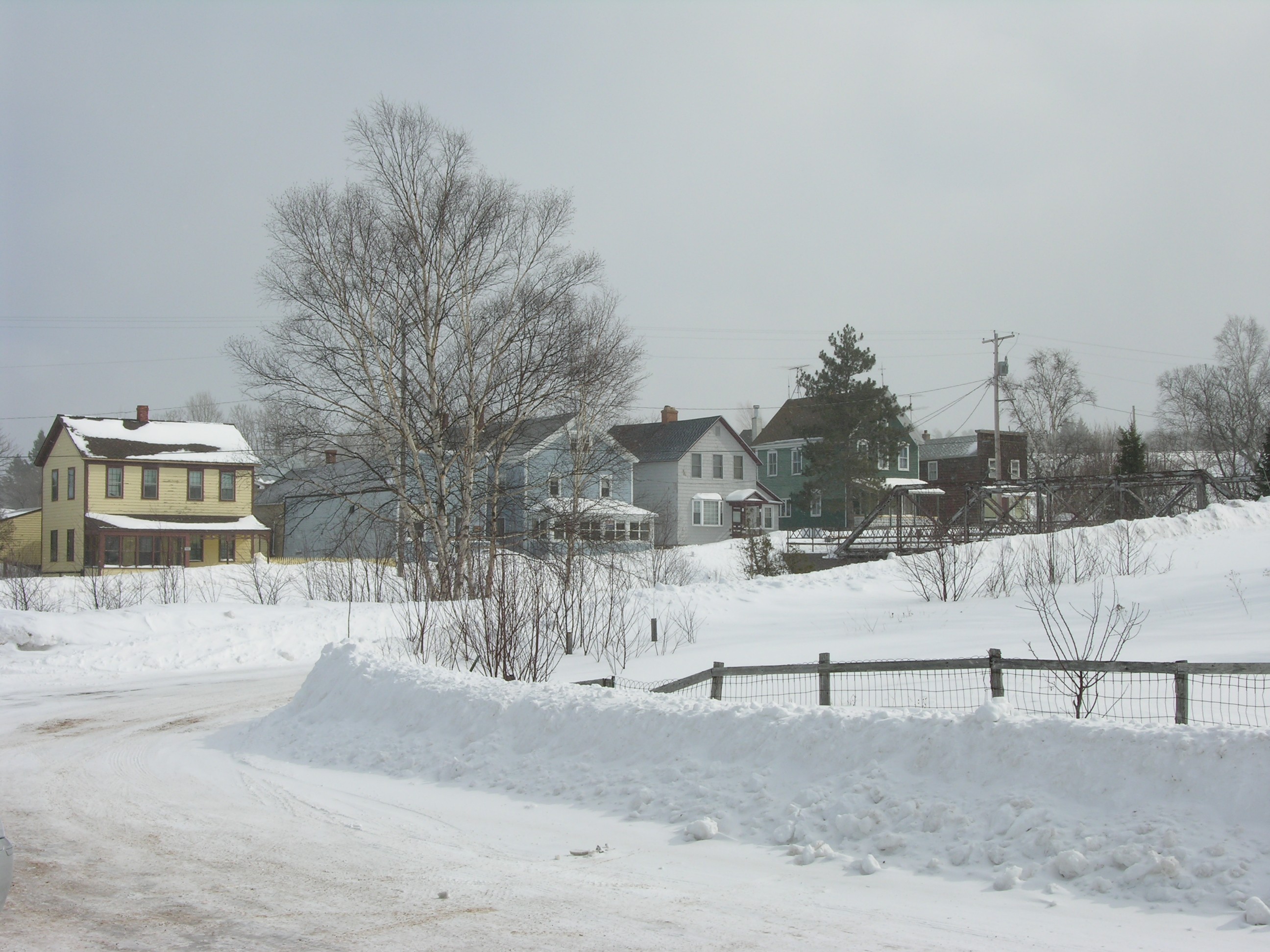
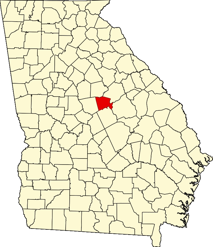
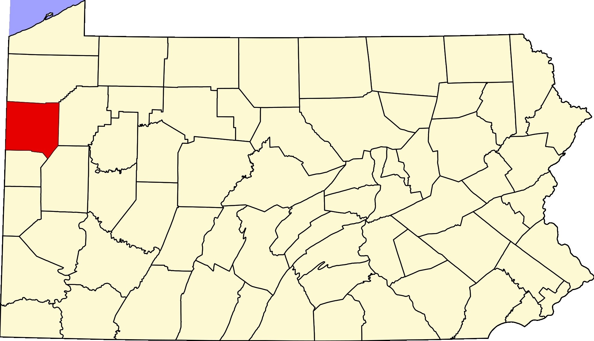
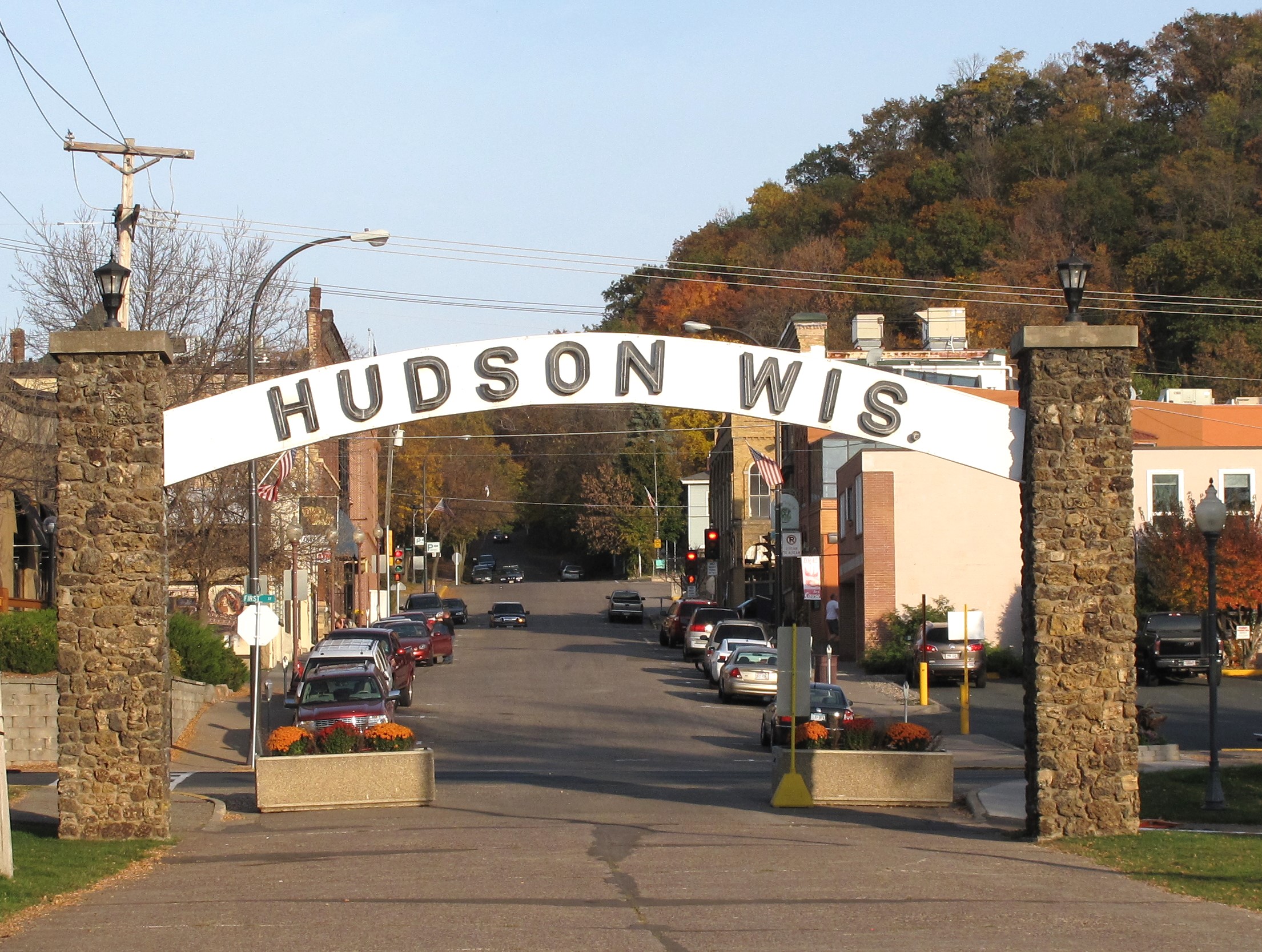
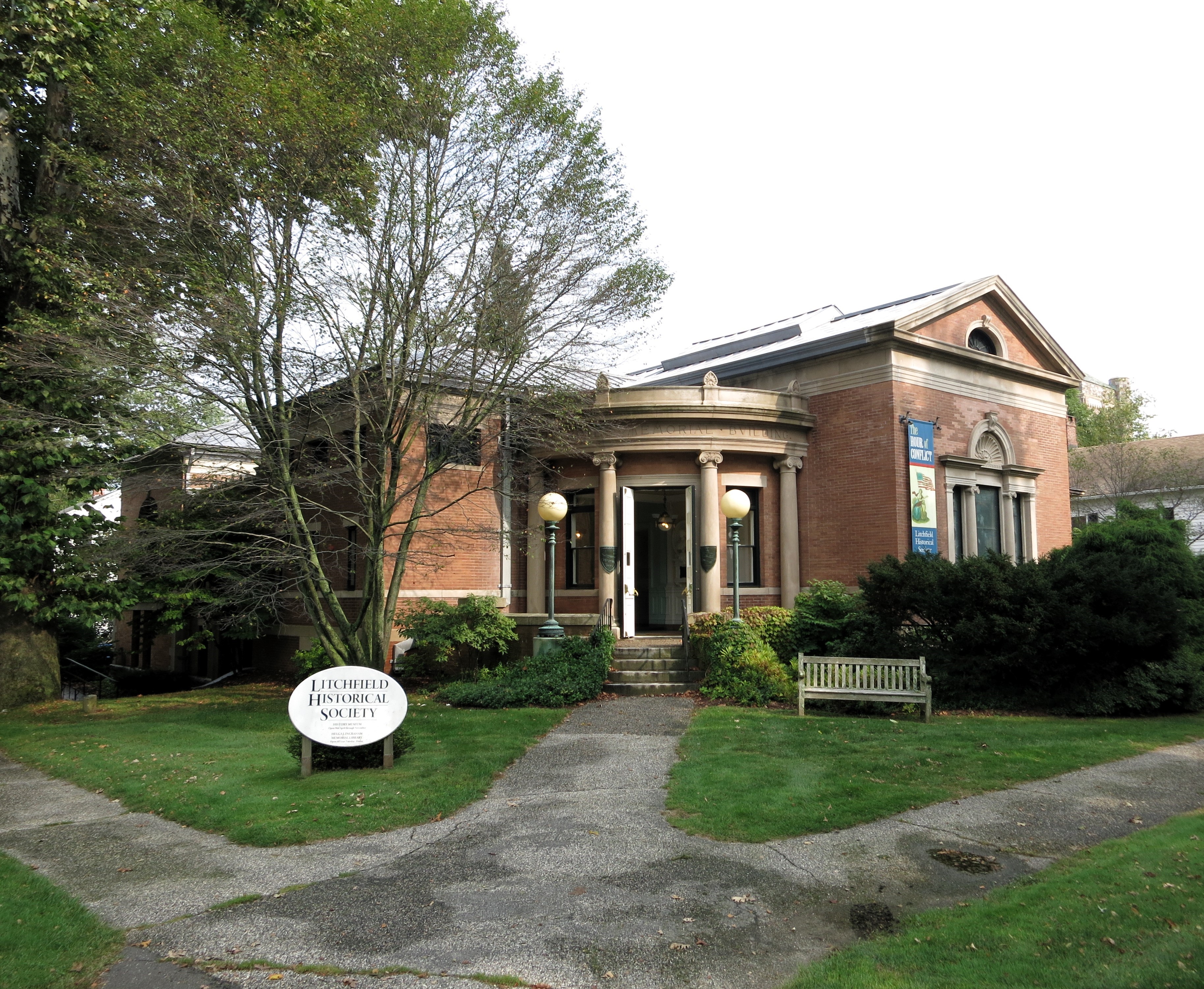
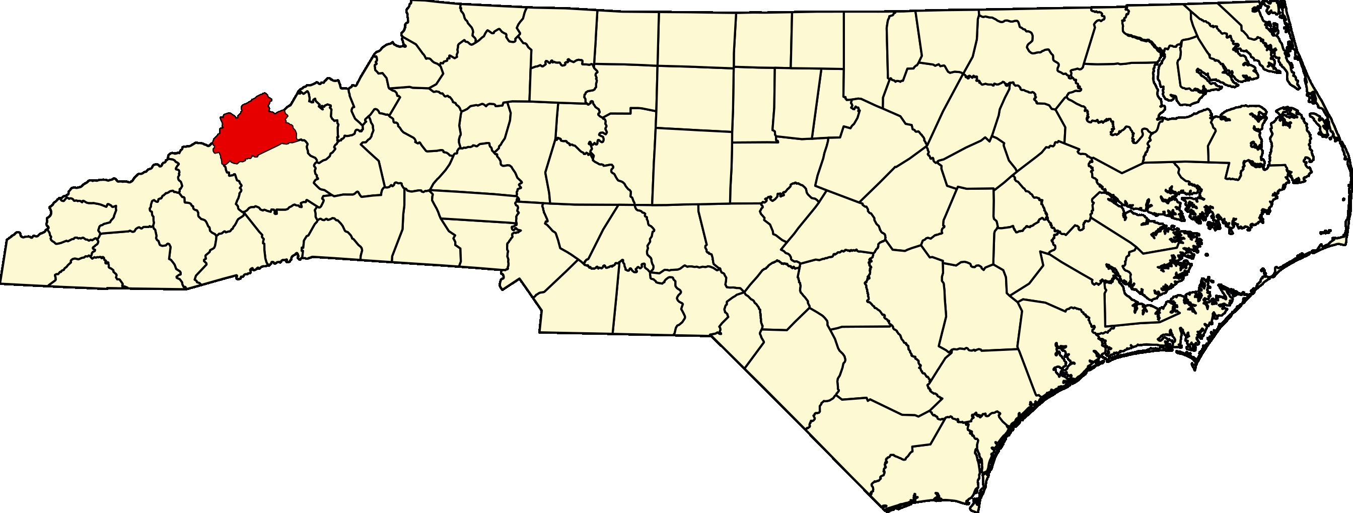
I road-tripped through the mountains of western North Carolina during May 2009, stopping at over a dozen of the region’s county seats. One of my most memorable stops was in the small town of Marshall (population 777), the seat of Madison County, North Carolina.
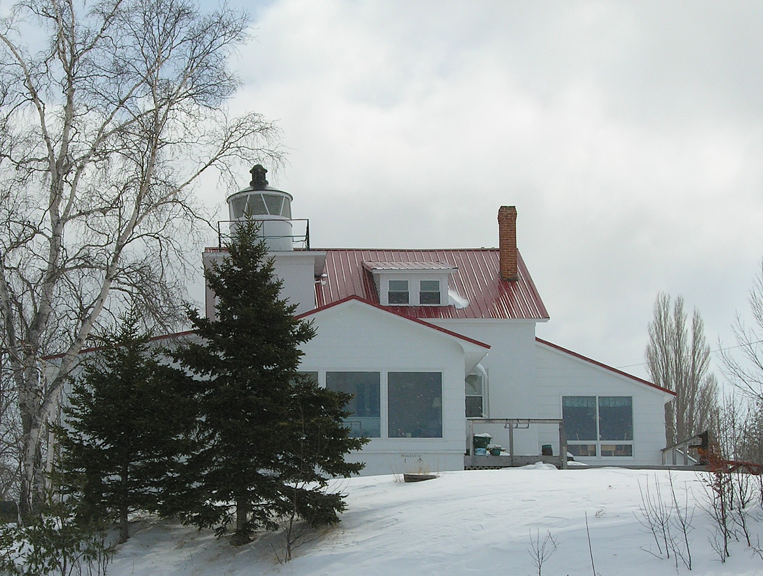
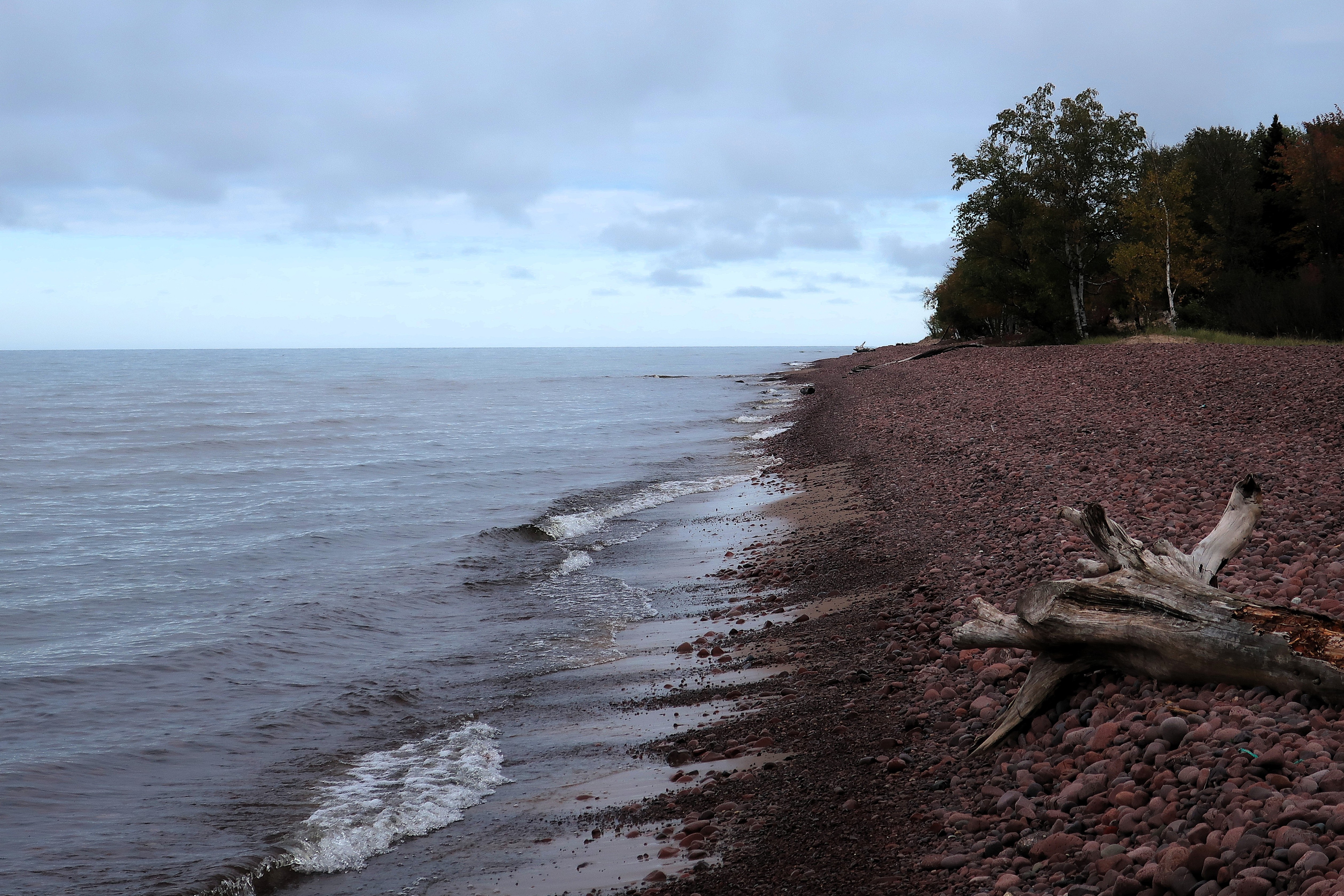
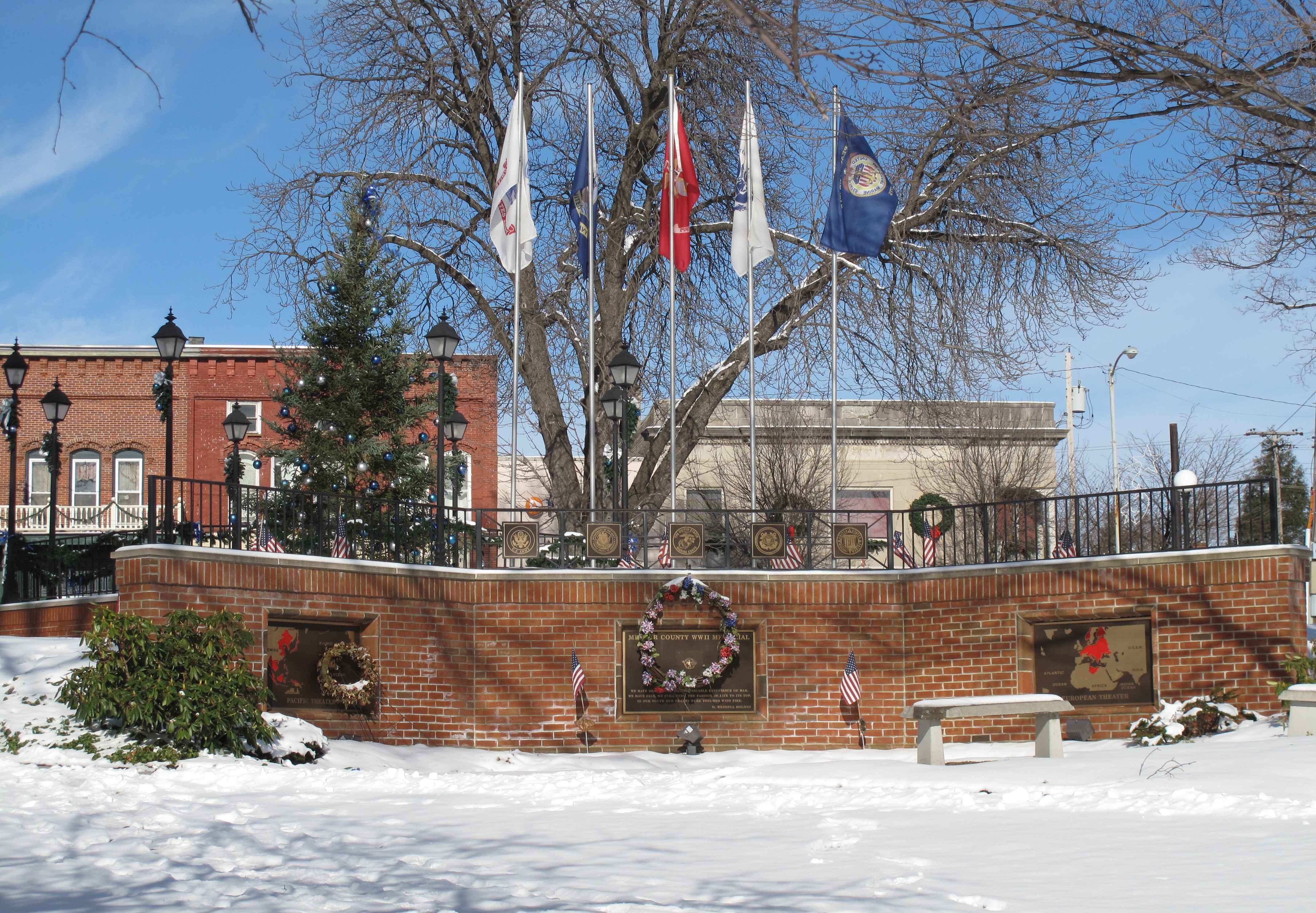
Hurricane Helene hit western North Carolina in September 2024, bringing devastating floodwaters to dozens of towns along the region’s small rivers and creeks. The town of Marshall, lying on the banks of the French Broad River, was nearly destroyed.
As Marshall rebuilds, I publish these photos as a reminder of what this picturesque mountain retreat once looked like, hoping it will one day look like this again.
Here’s what I wrote back on May 19, 2009, during my visit to Marshall:
It’s just a beautiful, fabulous, breezy day today. There are no clouds or heat; luckily, there seem to be no bugs. This might be the best day of the week. We’ll see.
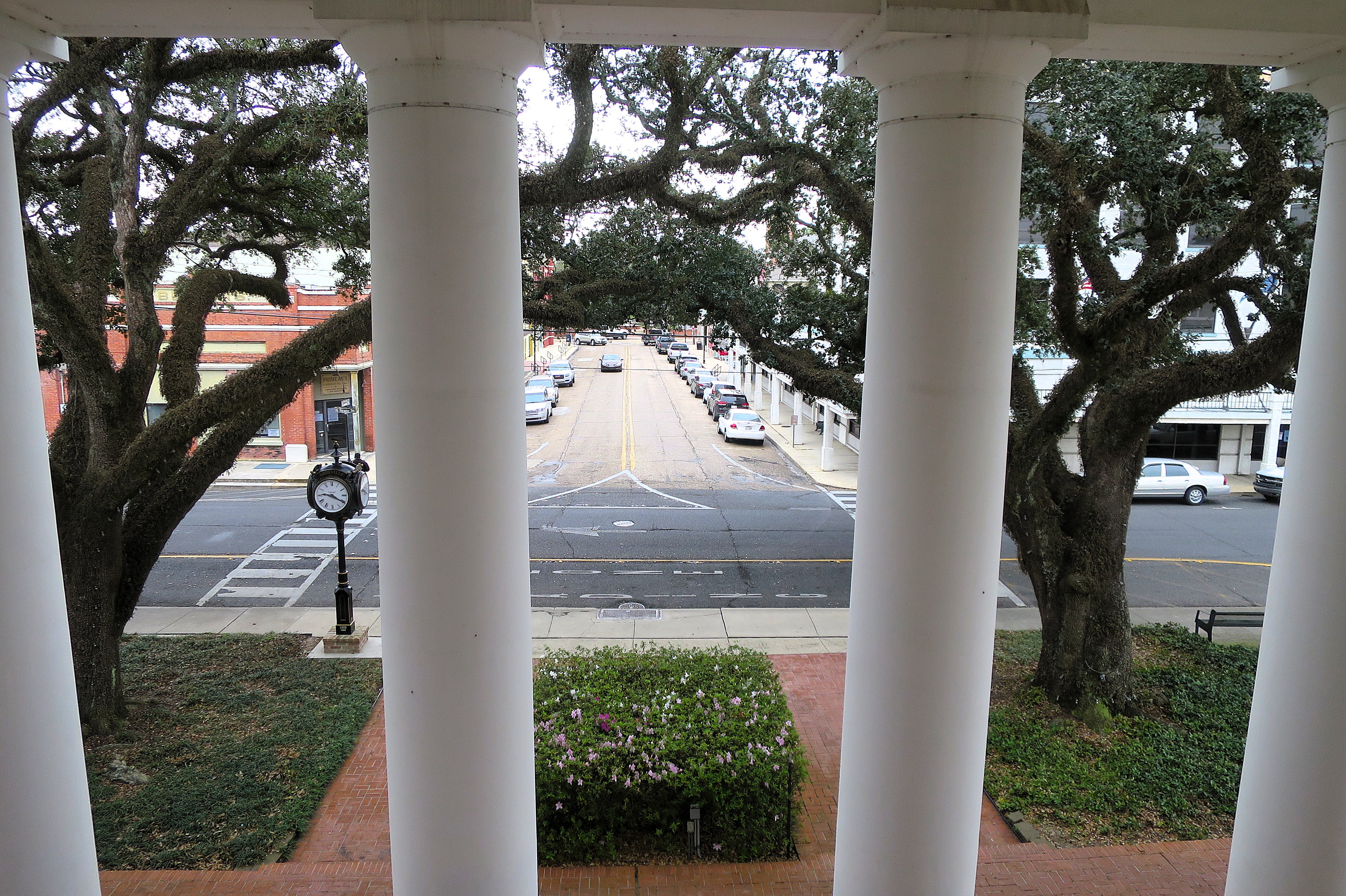
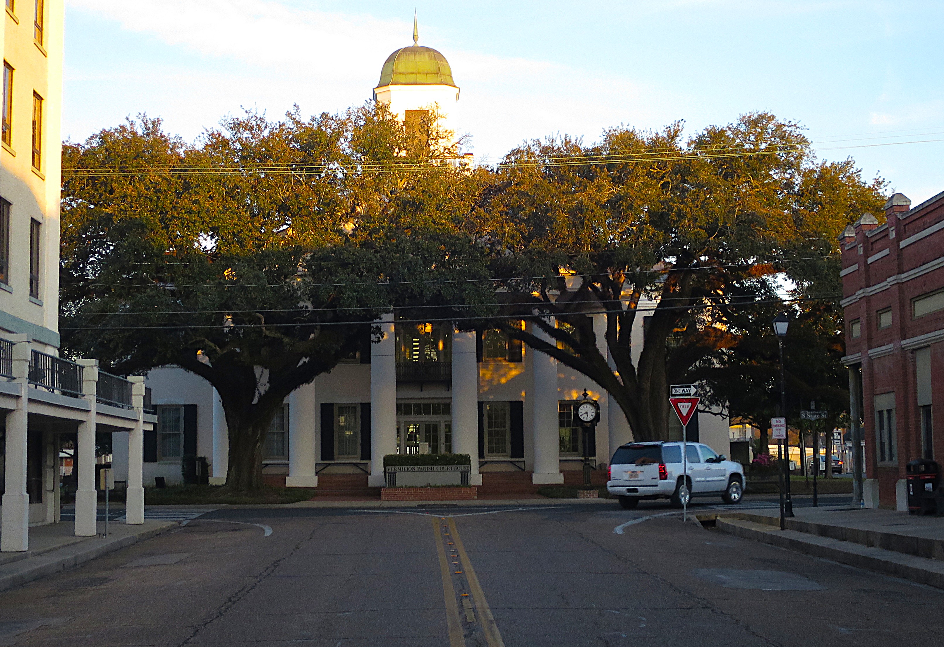
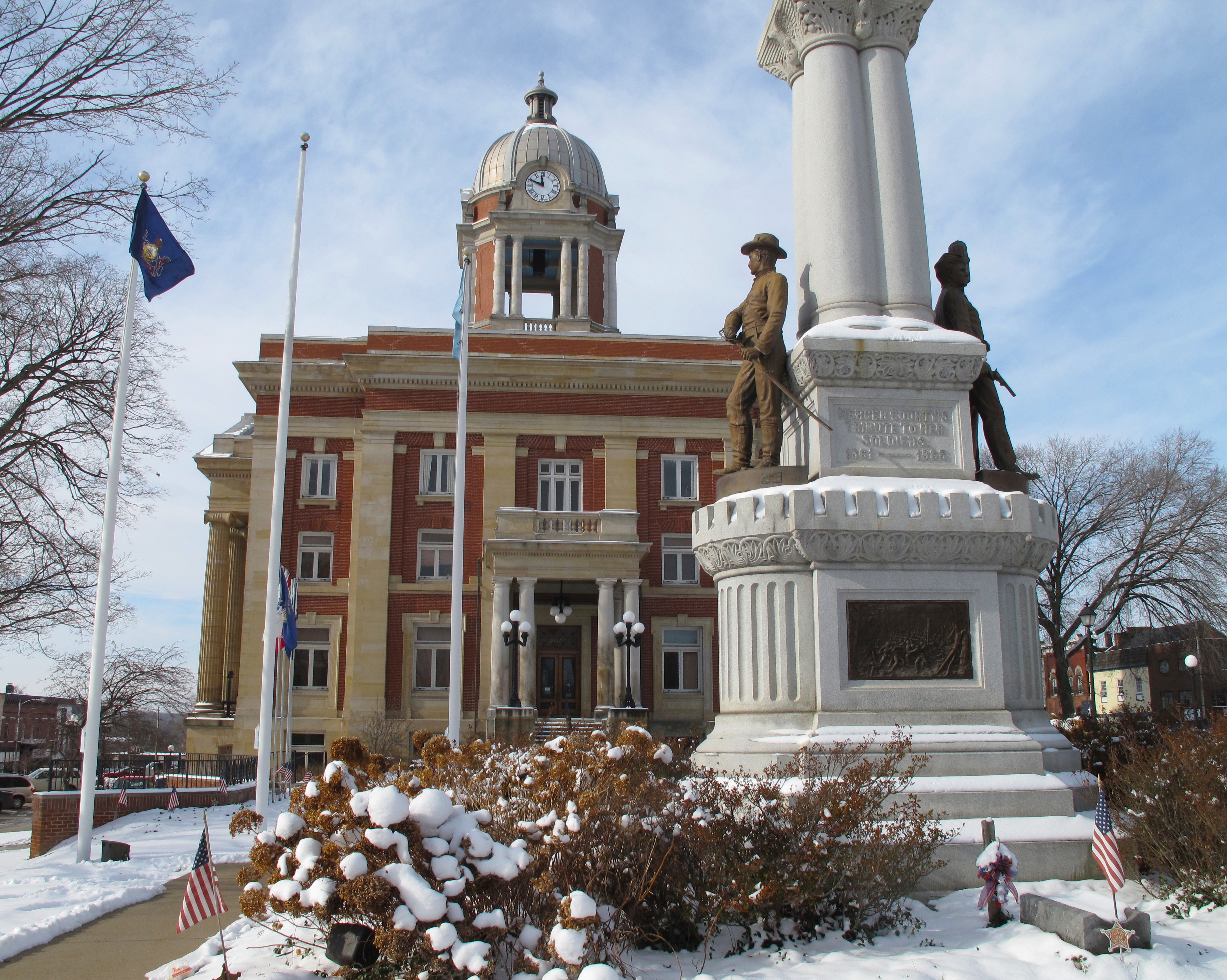
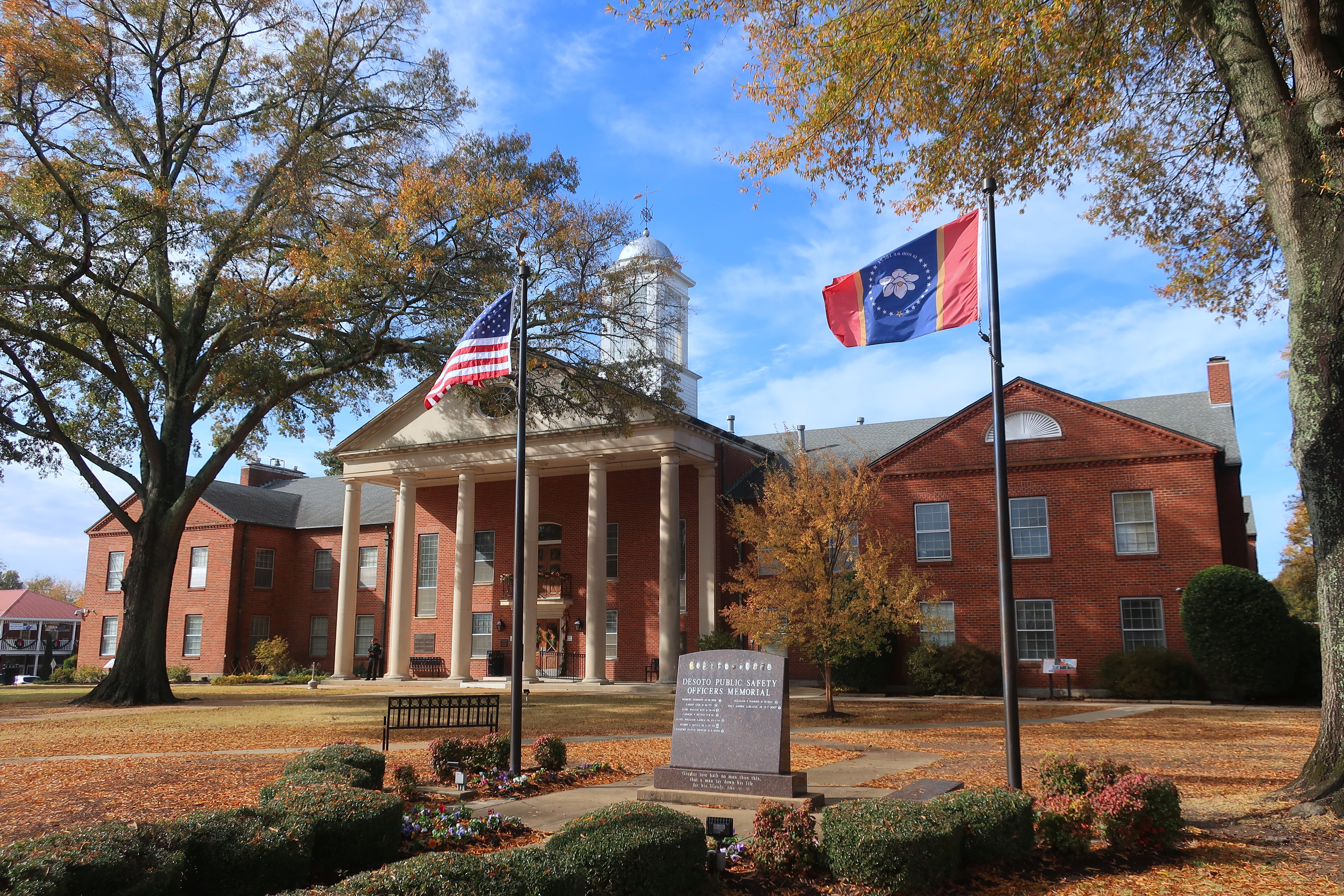
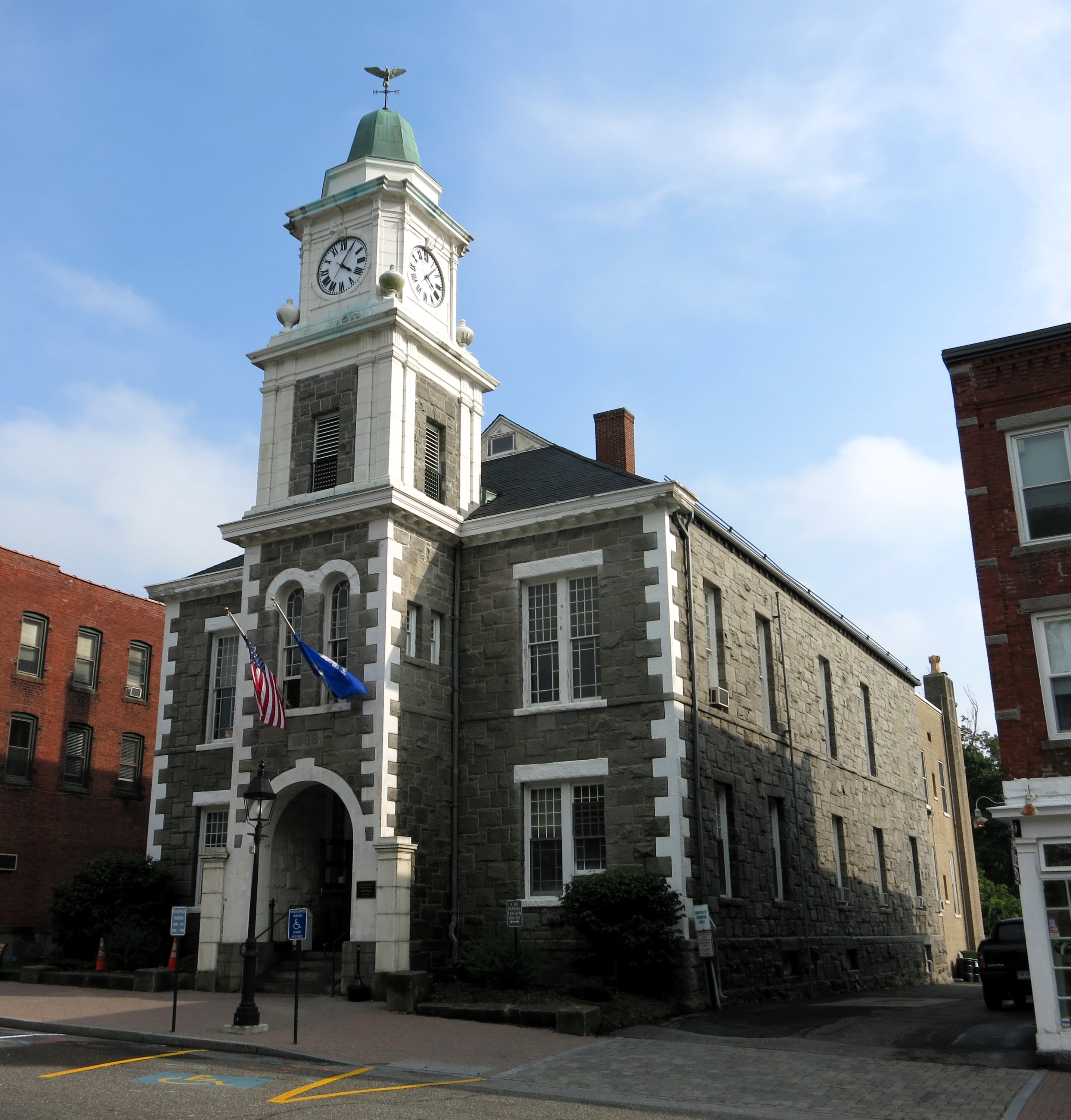
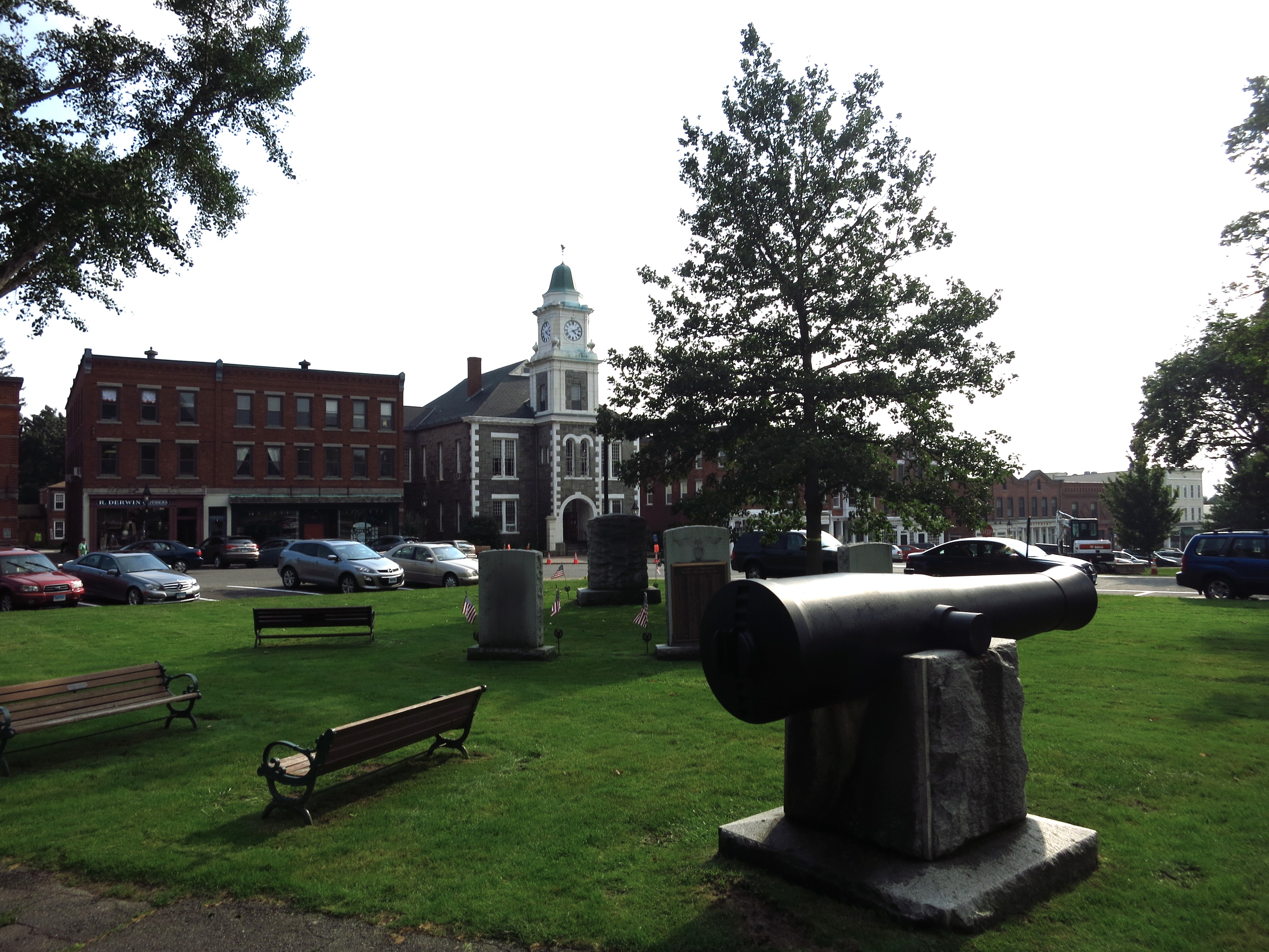
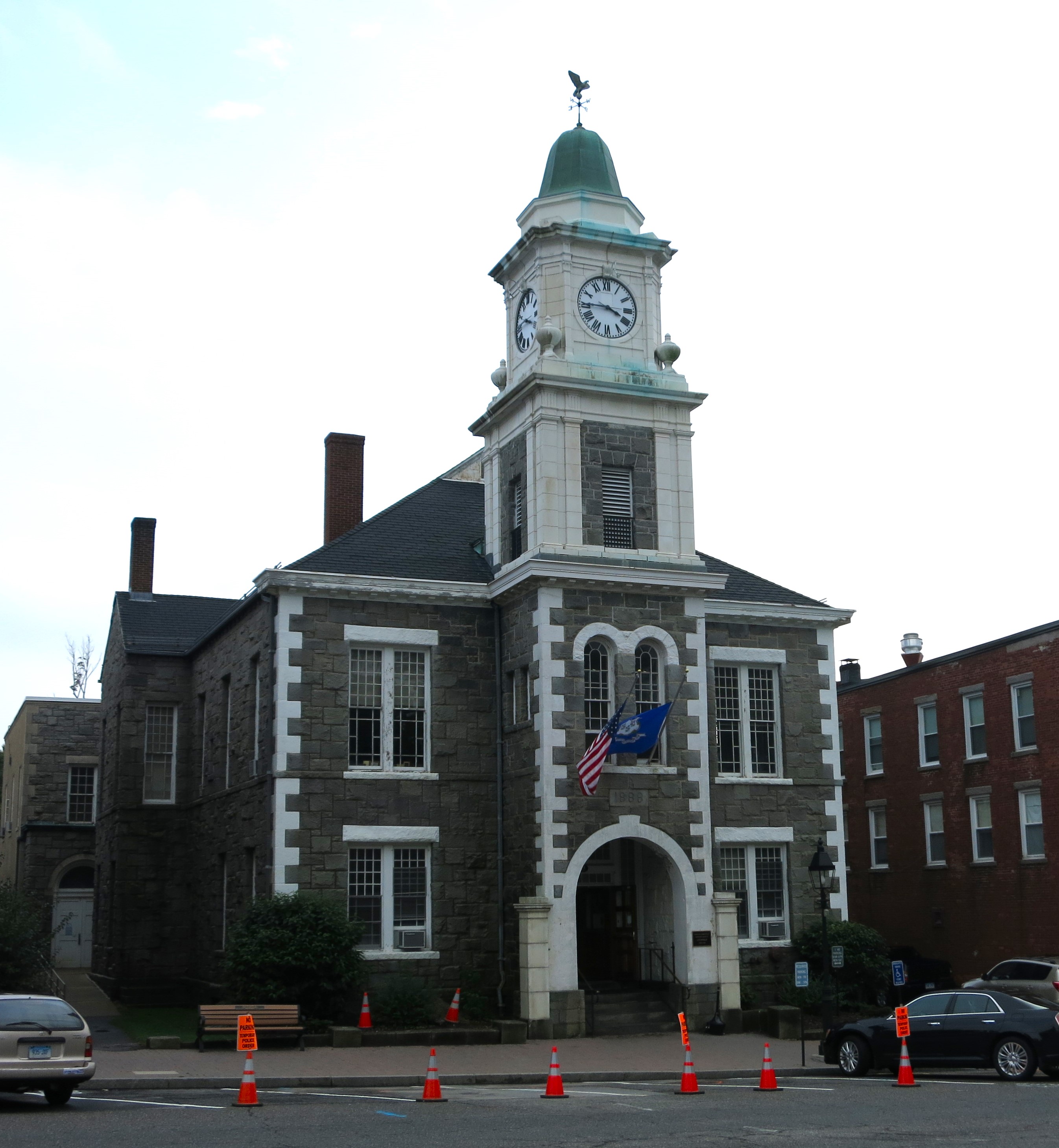
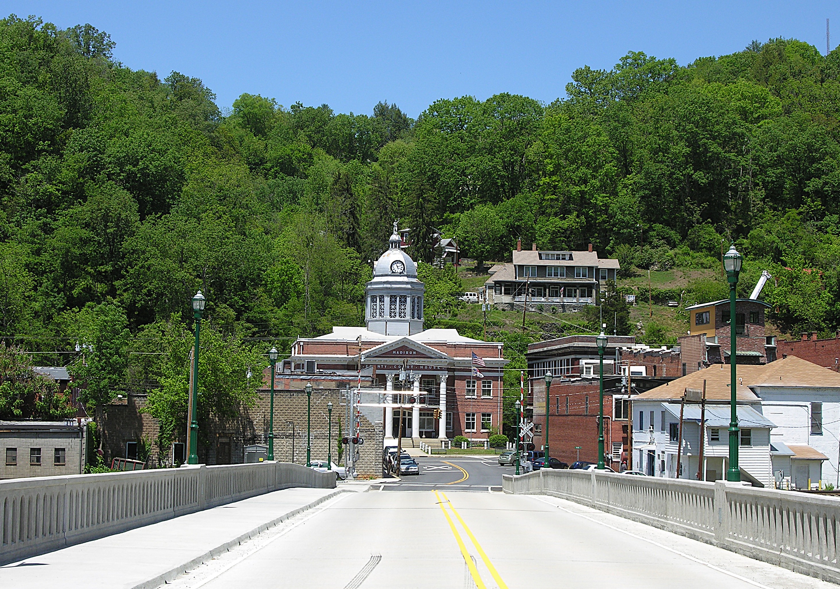
The map was wrong, so I could only guess which of the several small towns in Madison County might be the county seat. My first guess was Marshall, especially since getting here was only another three miles backtrack. Here, along the banks of the French Broad River, I saw the cupola of the county courthouse standing above the town.
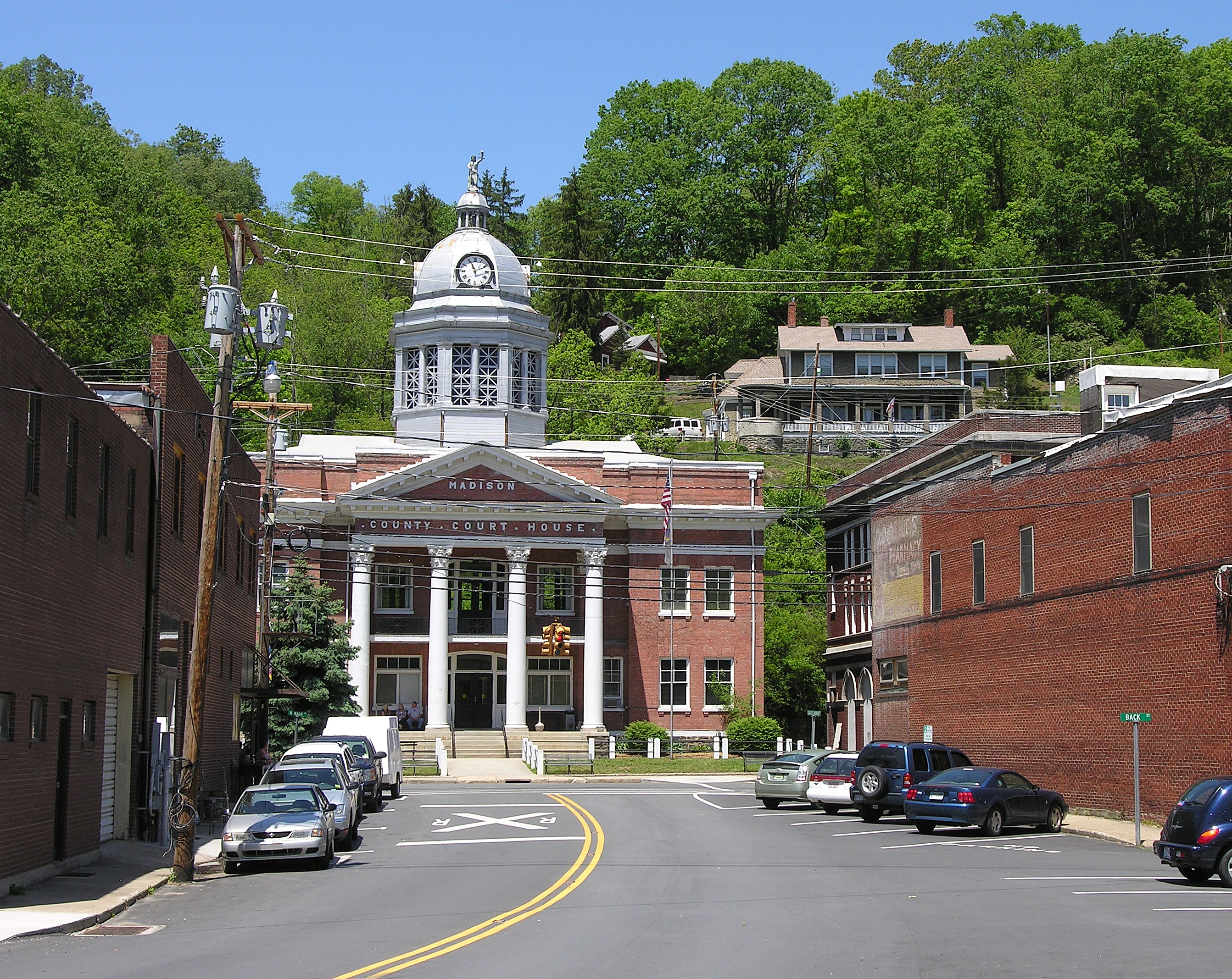
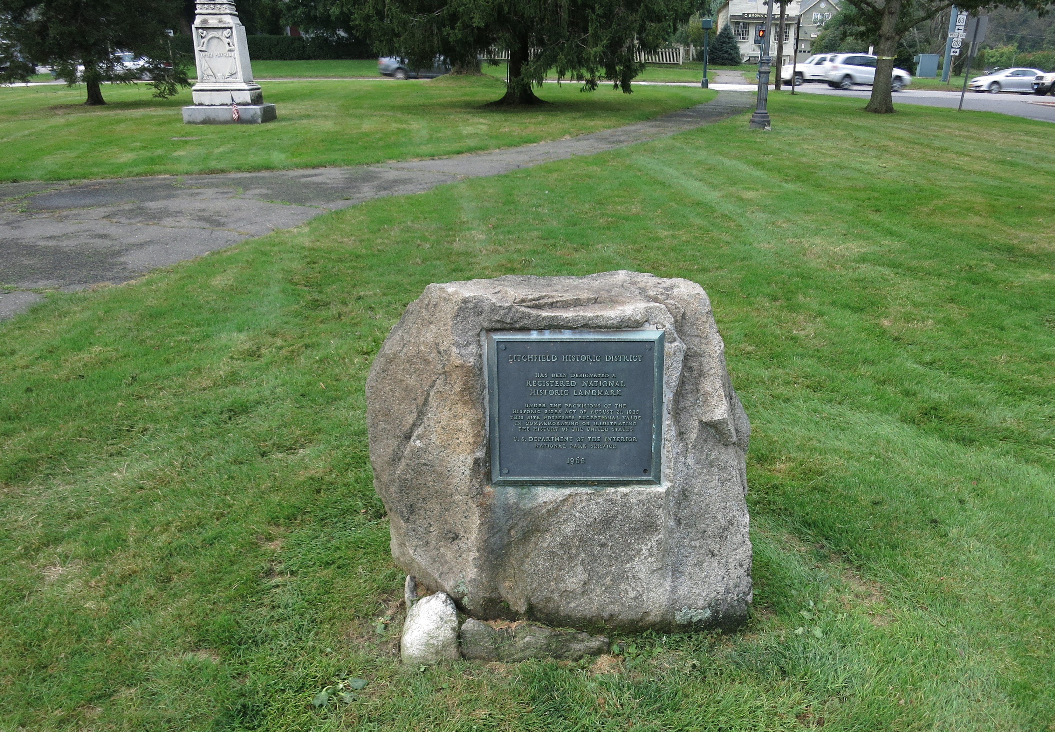
I later discovered that Marshall has been the county seat as long as Madison County, North Carolina, has existed. A historical sign says that Zebulon Vance donated the land for the courthouse.
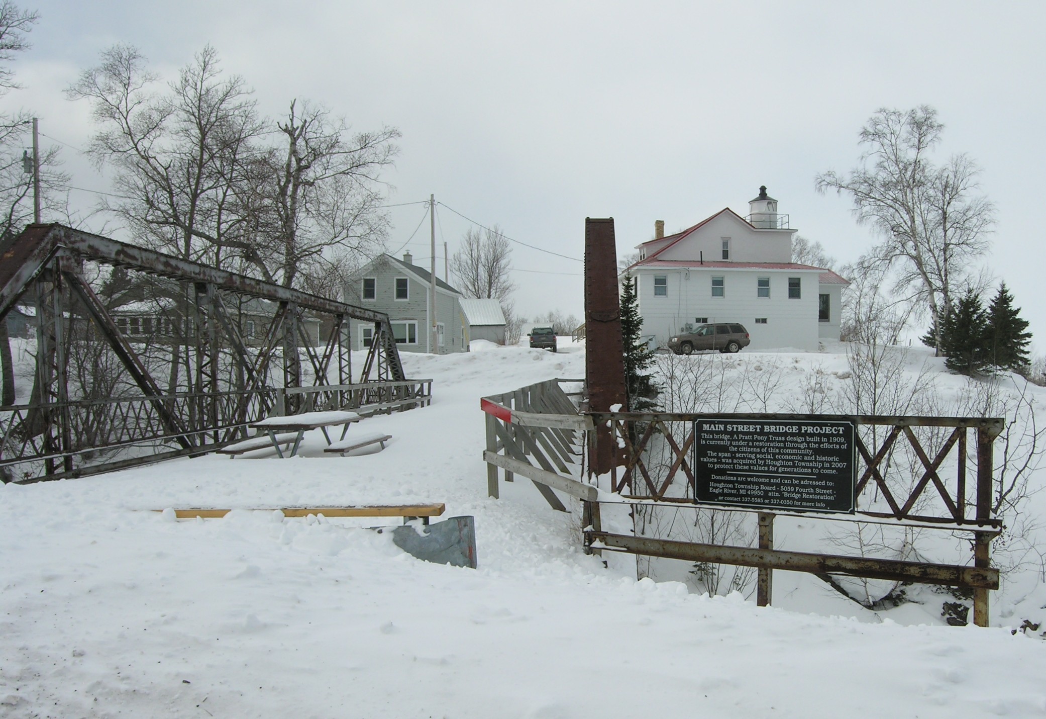
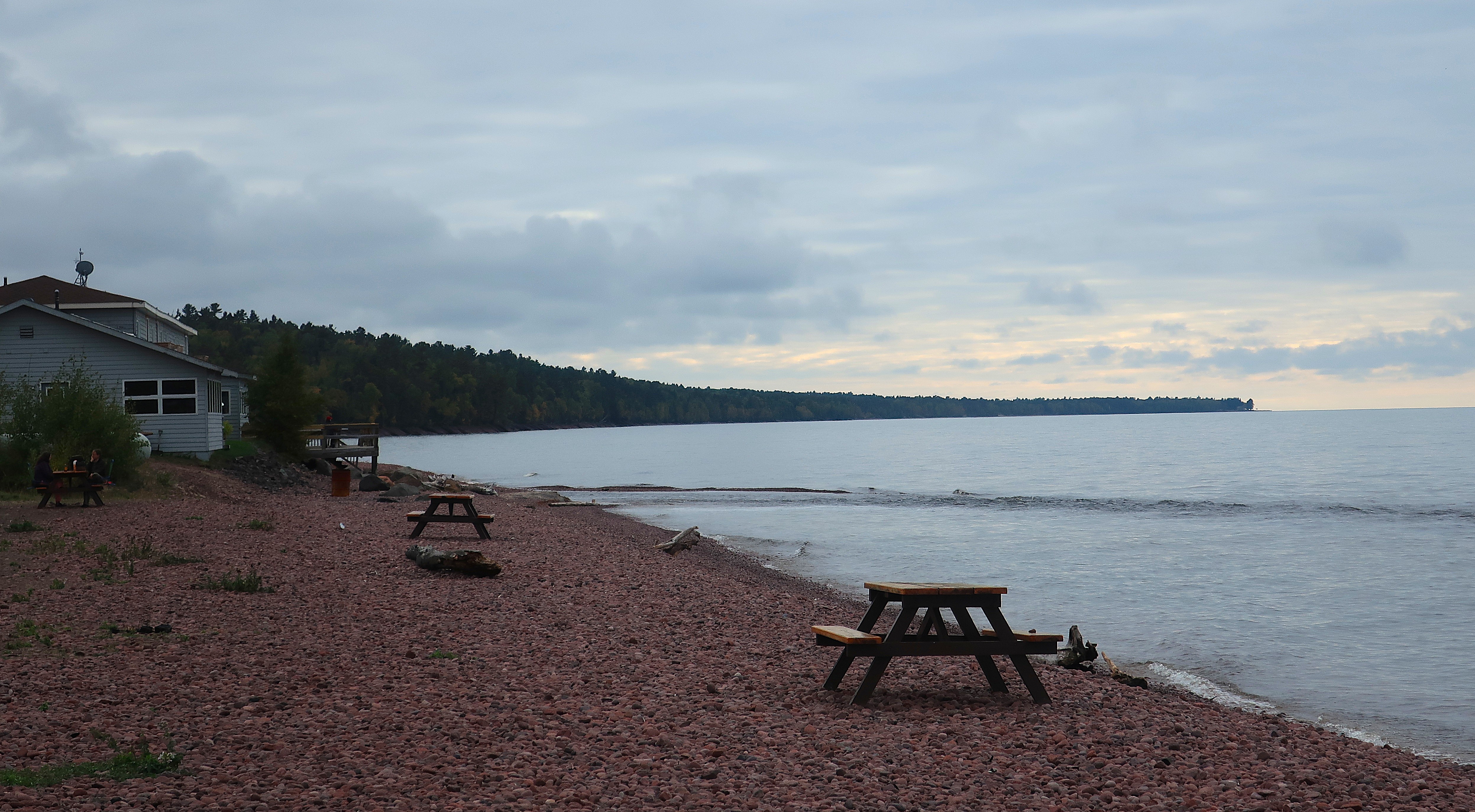
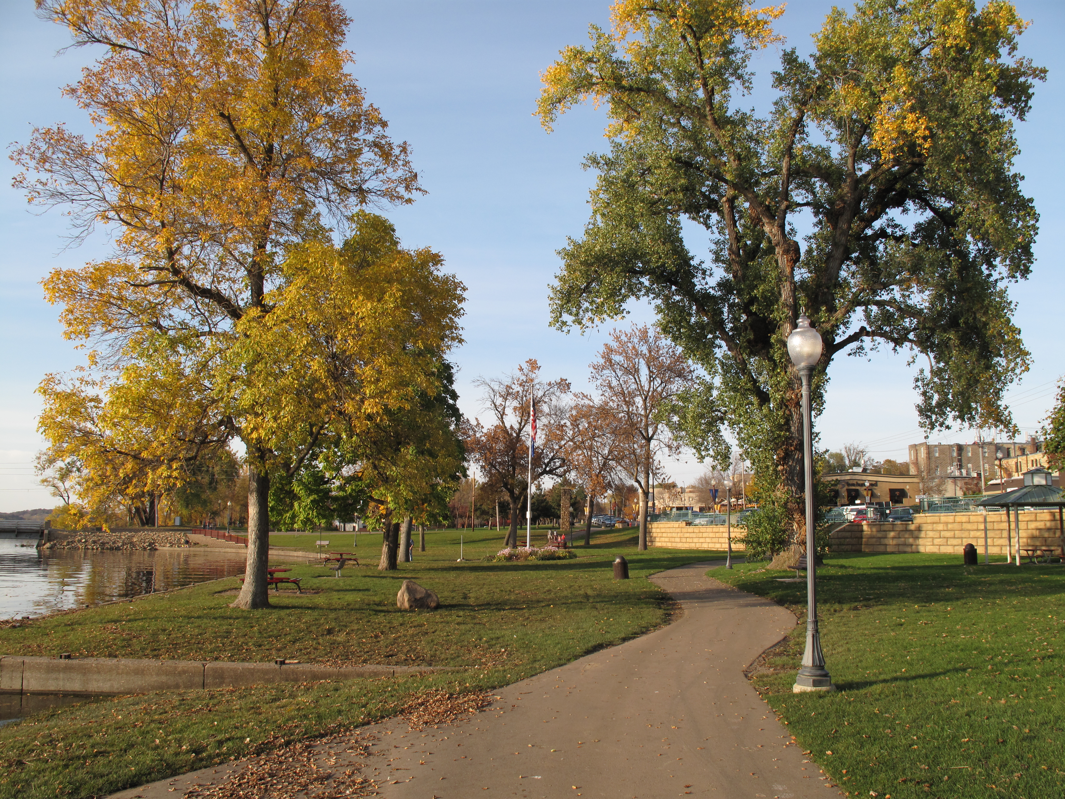
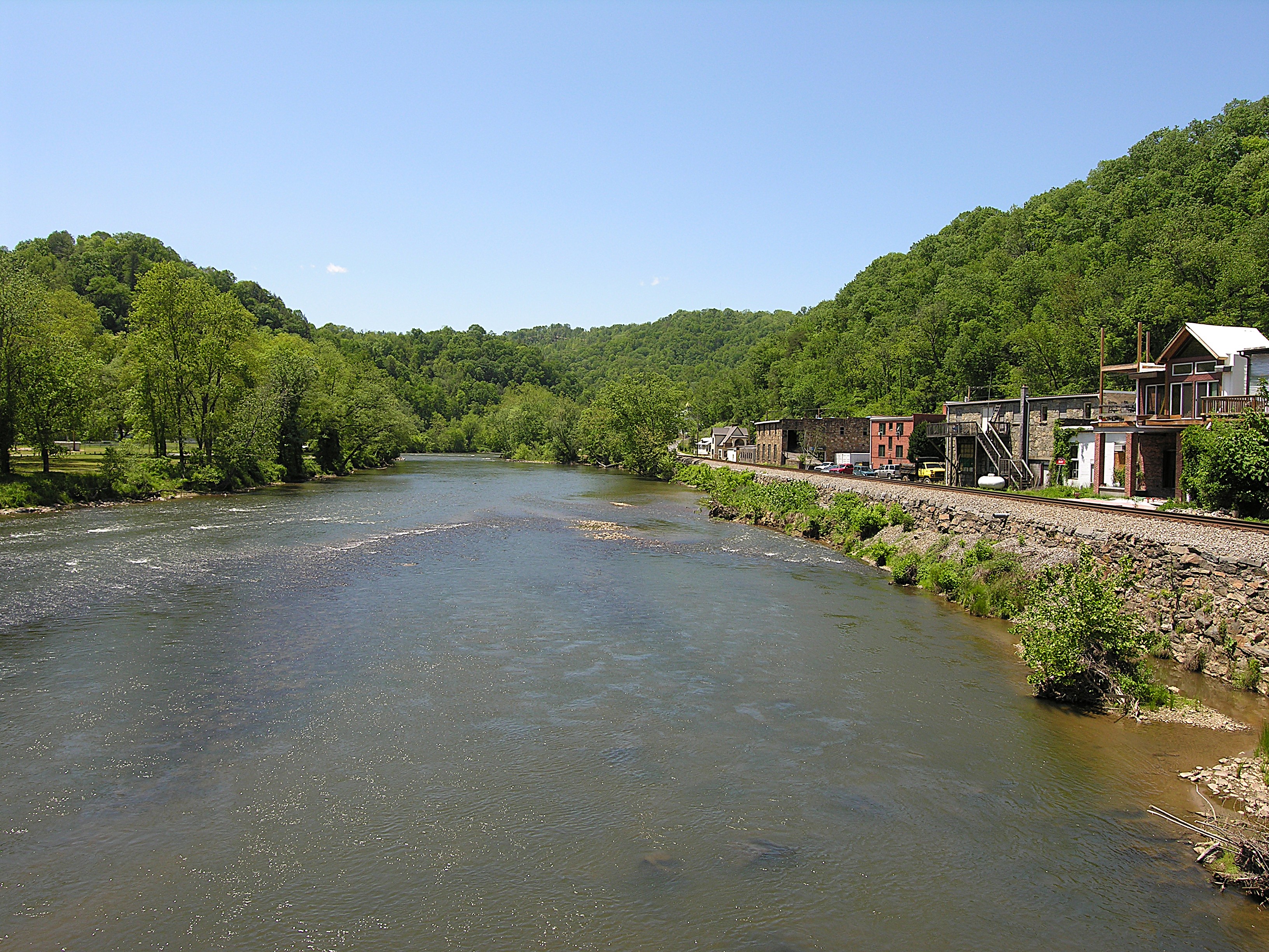
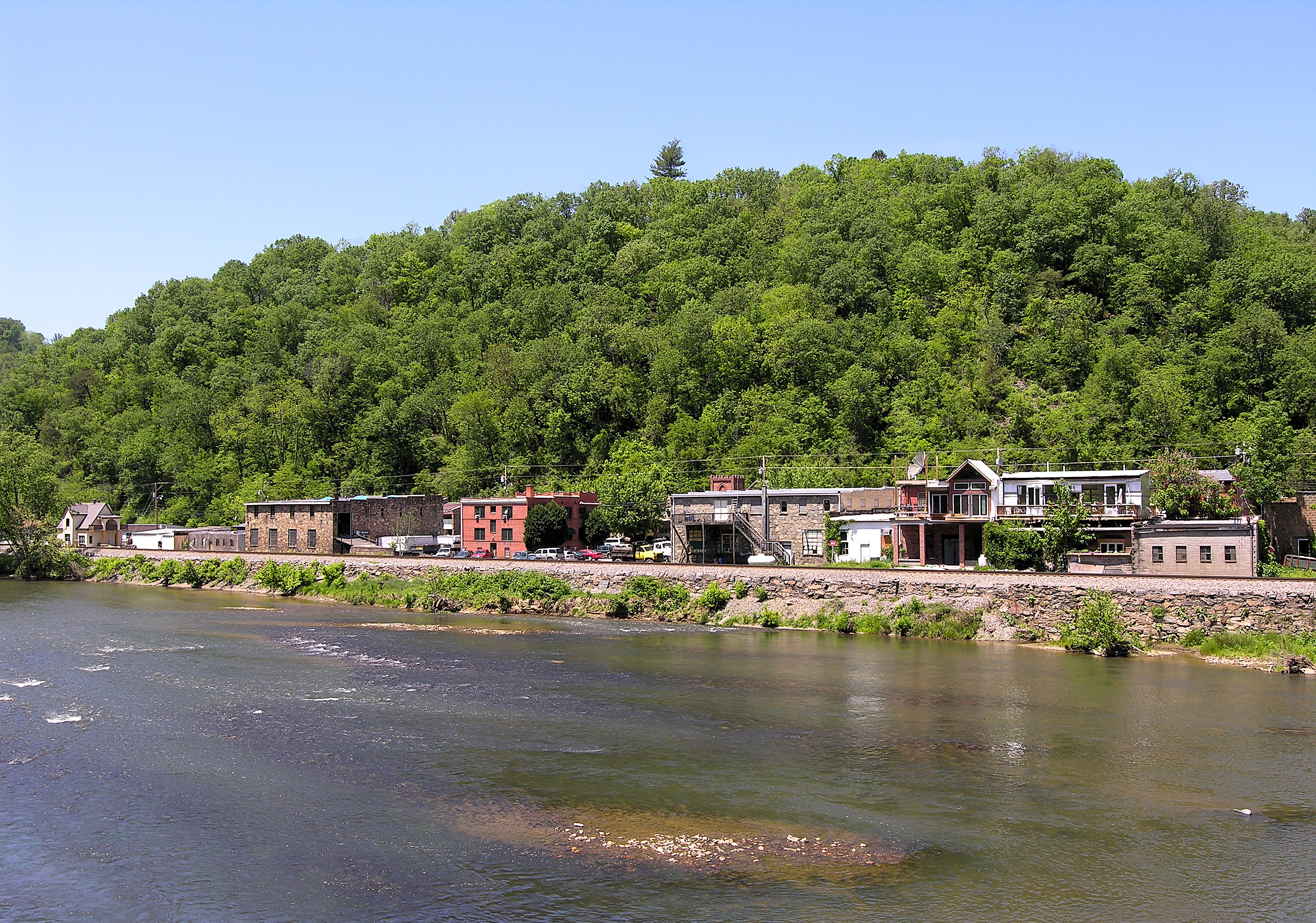
The courthouse faces the only bridge in town that crosses the French Broad River in this mountainous area. The French Broad is an odd river; it rises along the North Carolina ridges that mark the Eastern Continental Divide and flows west, past Asheville, North Carolina, through Marshall, and then on to Knoxville, Tennessee, where it meets the Holston to become the Tennessee River.
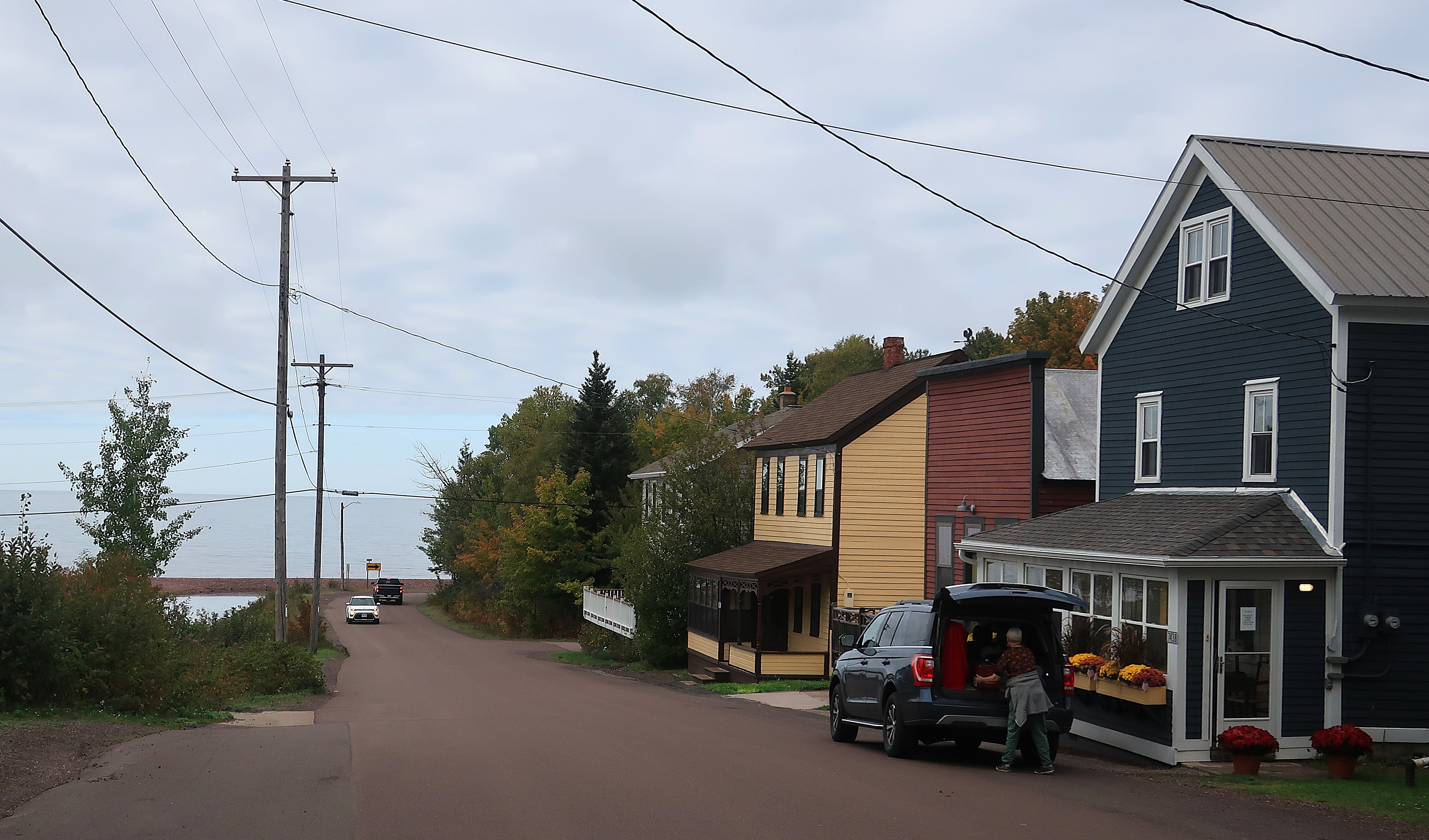
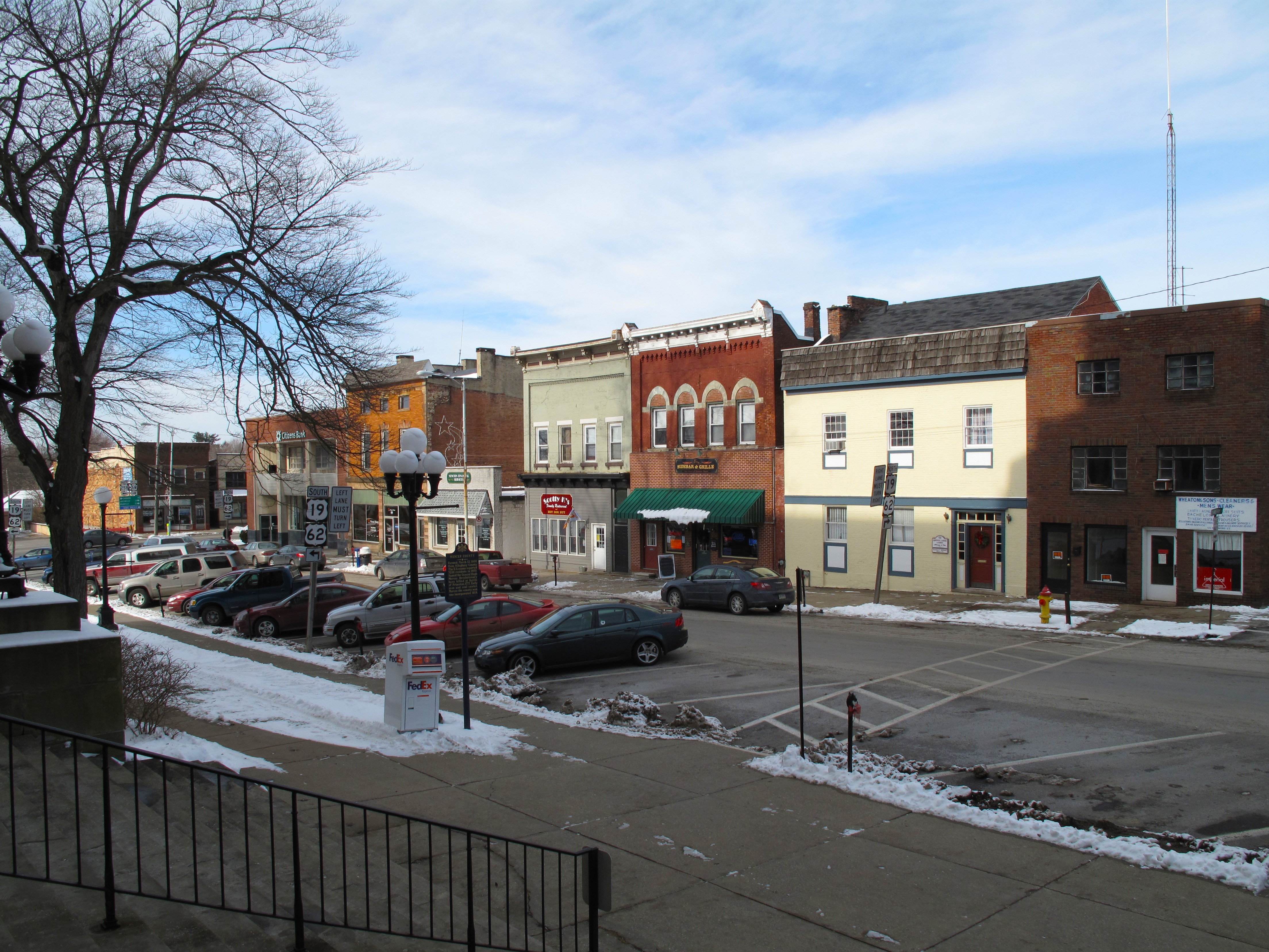
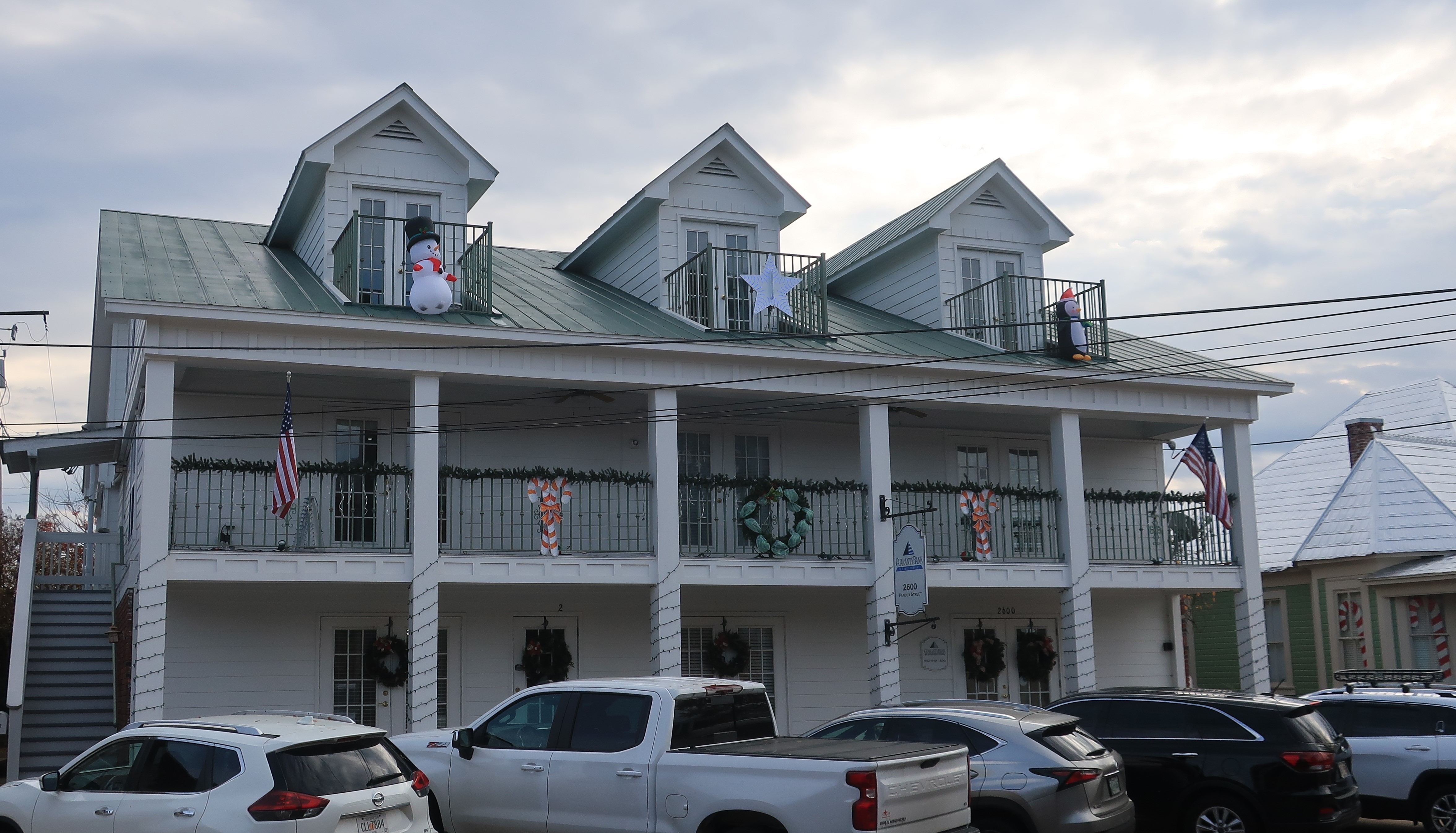
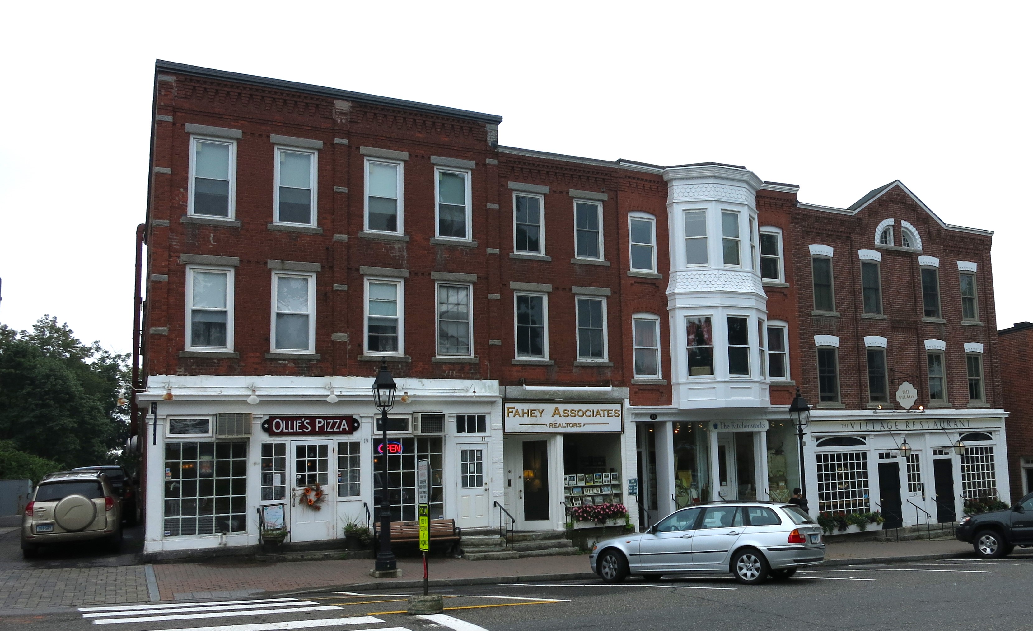
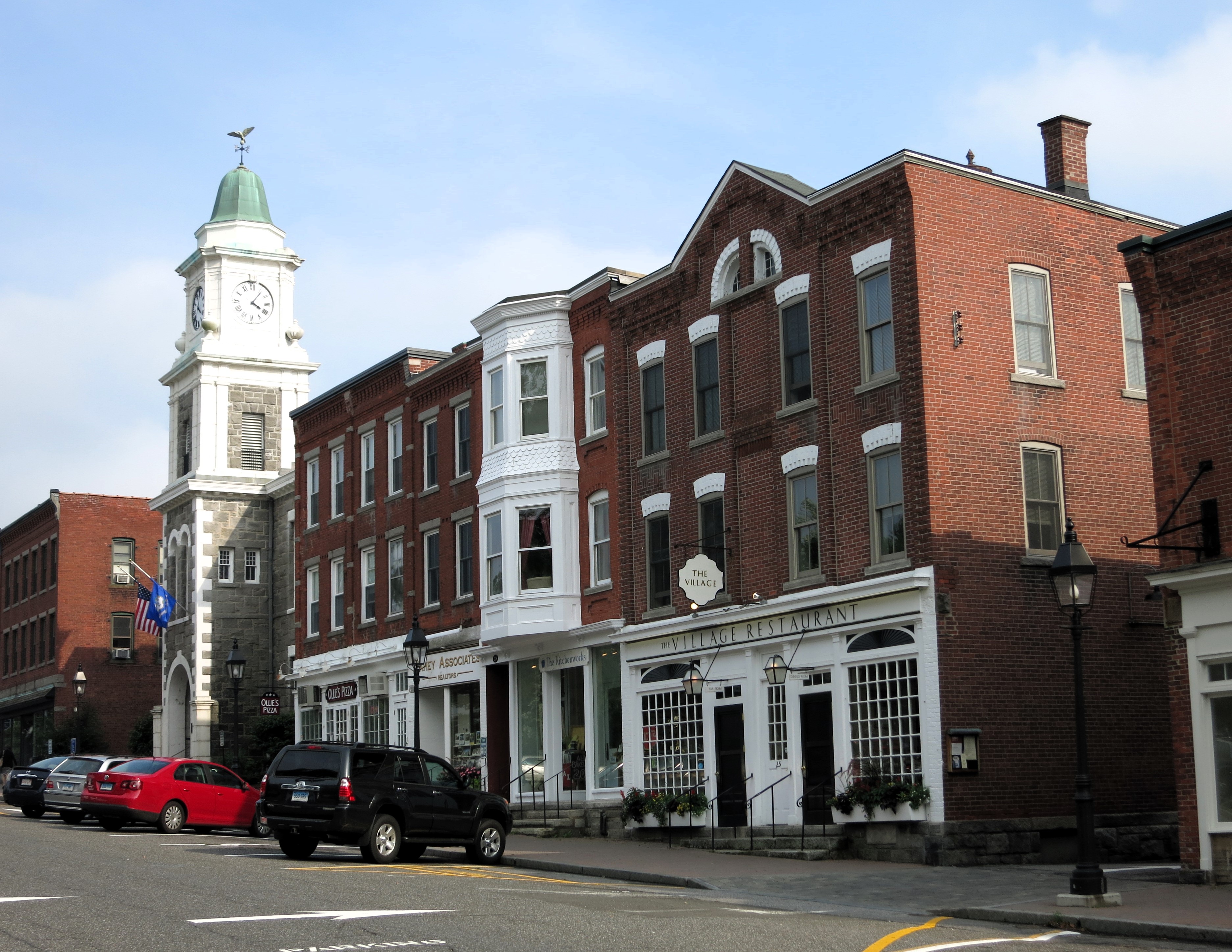
Below: the bridge over the French Broad River leading into Marshall, and (right) two views of town buildings alongside the river.
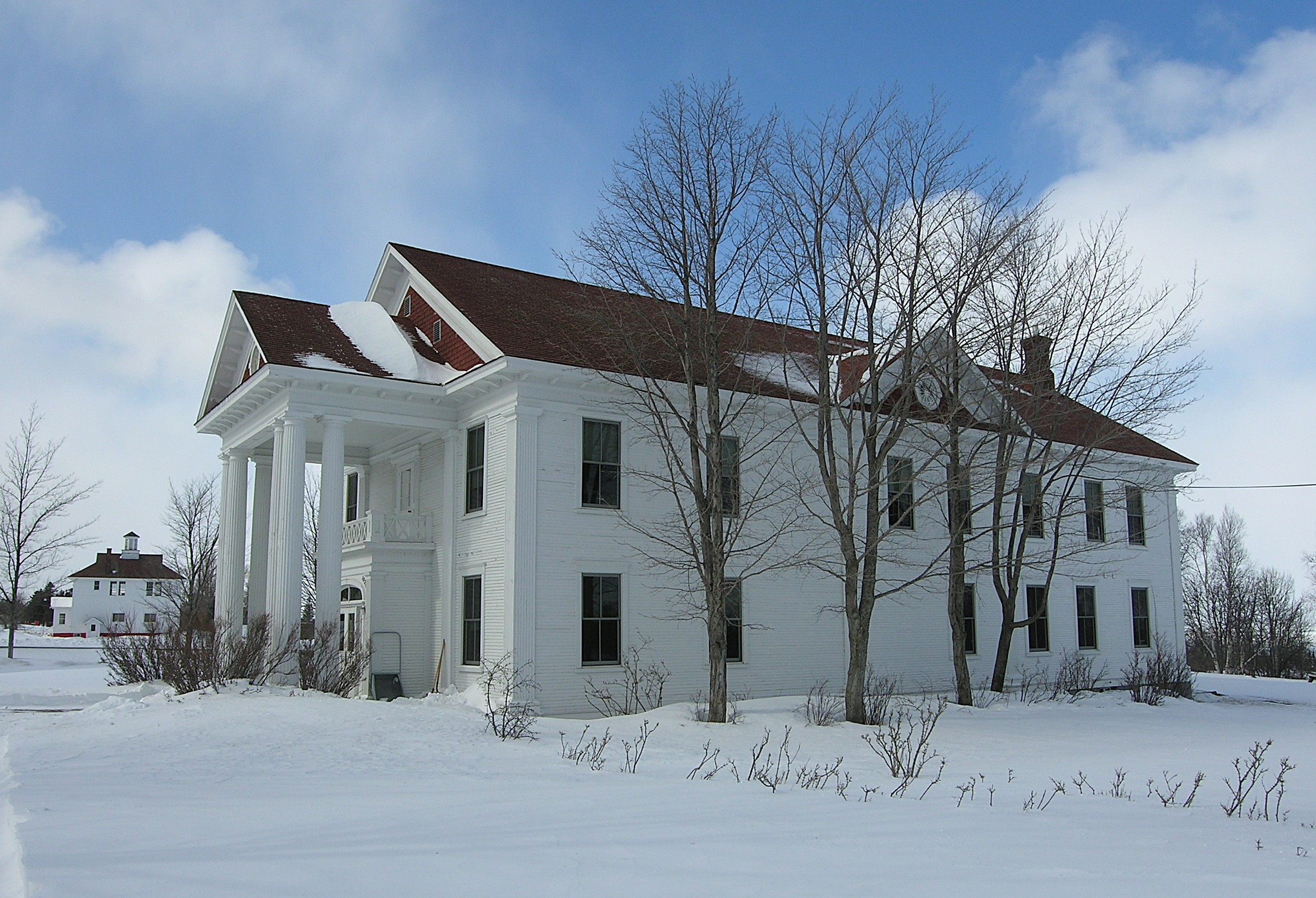
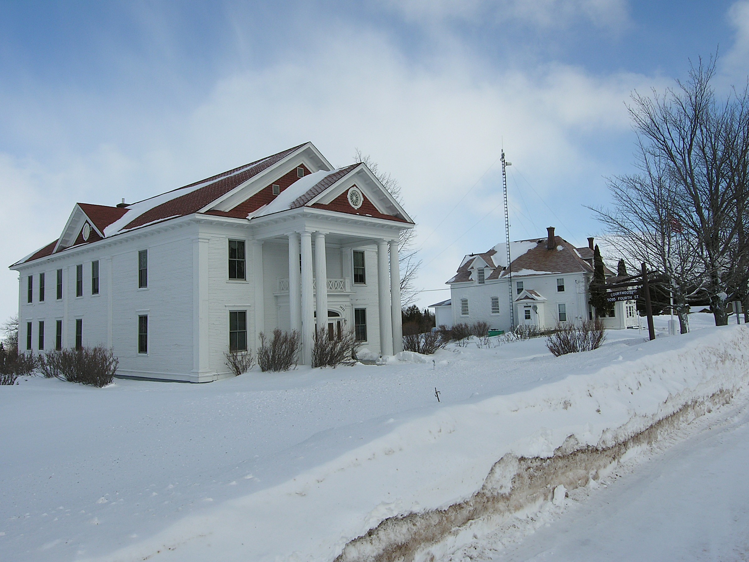
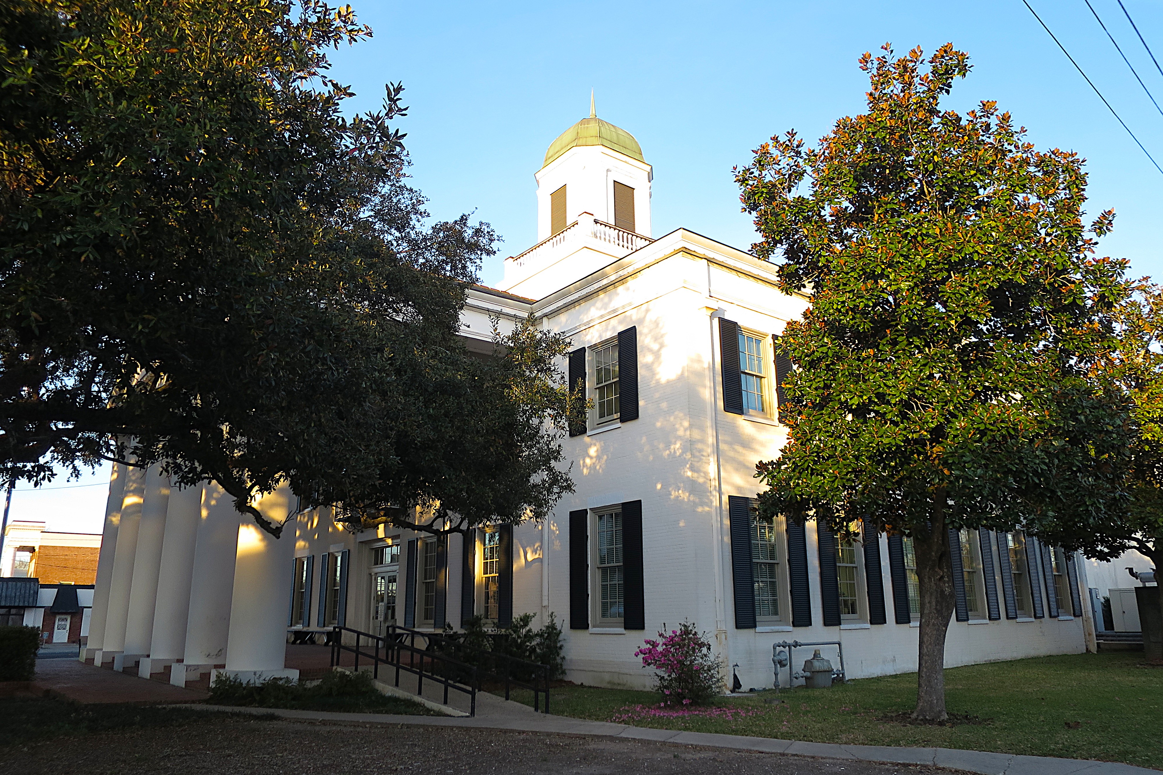
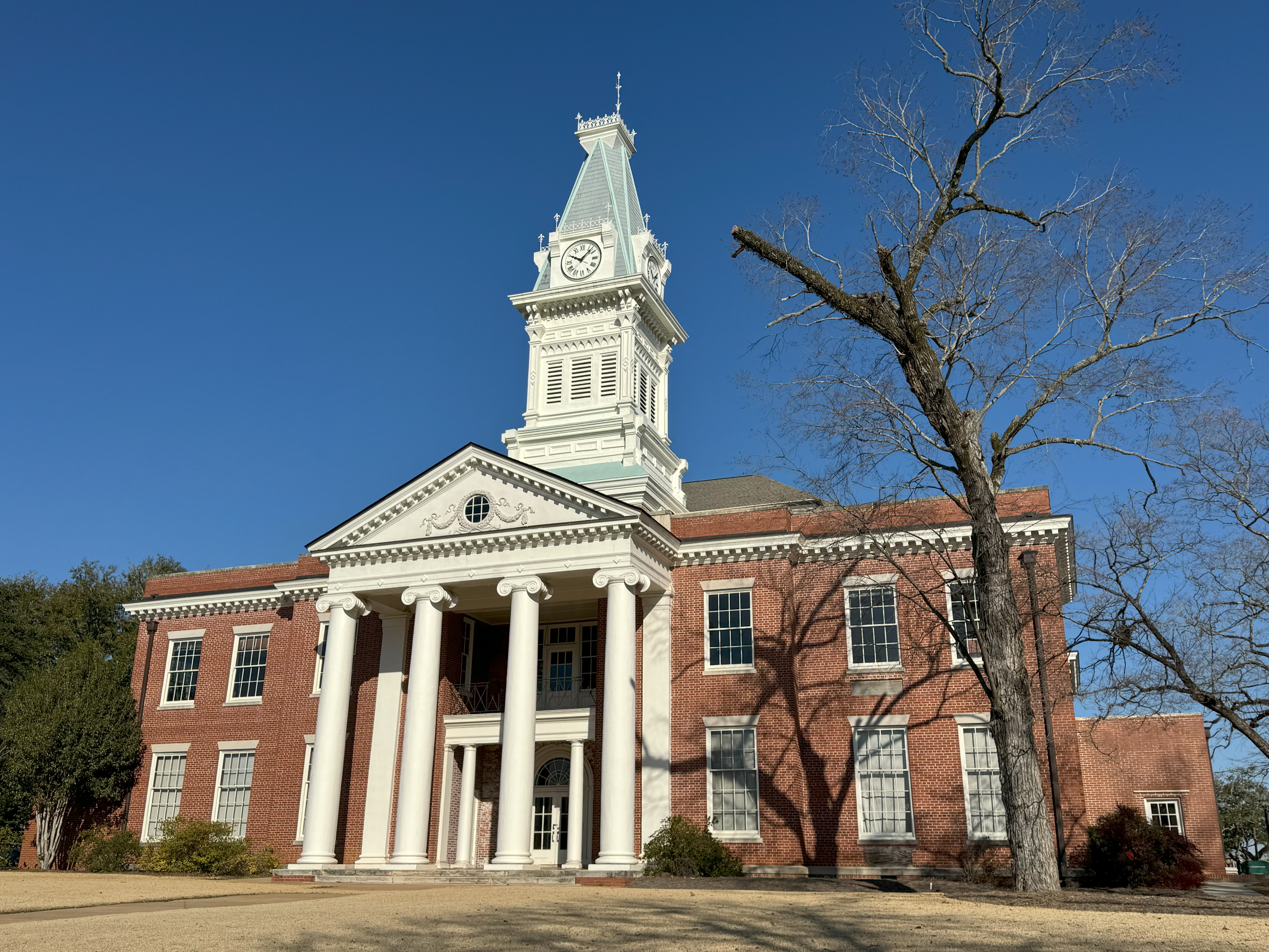
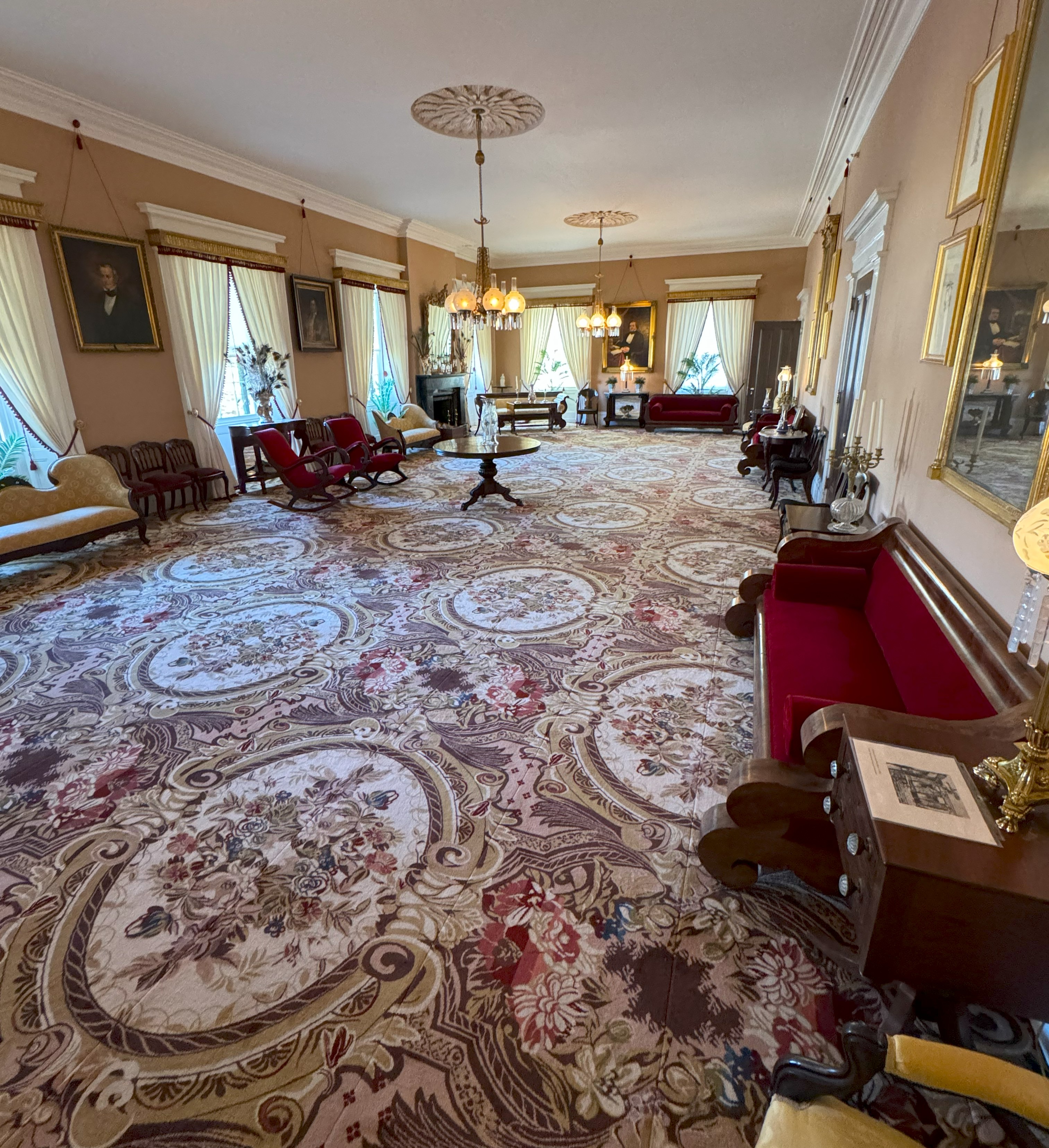
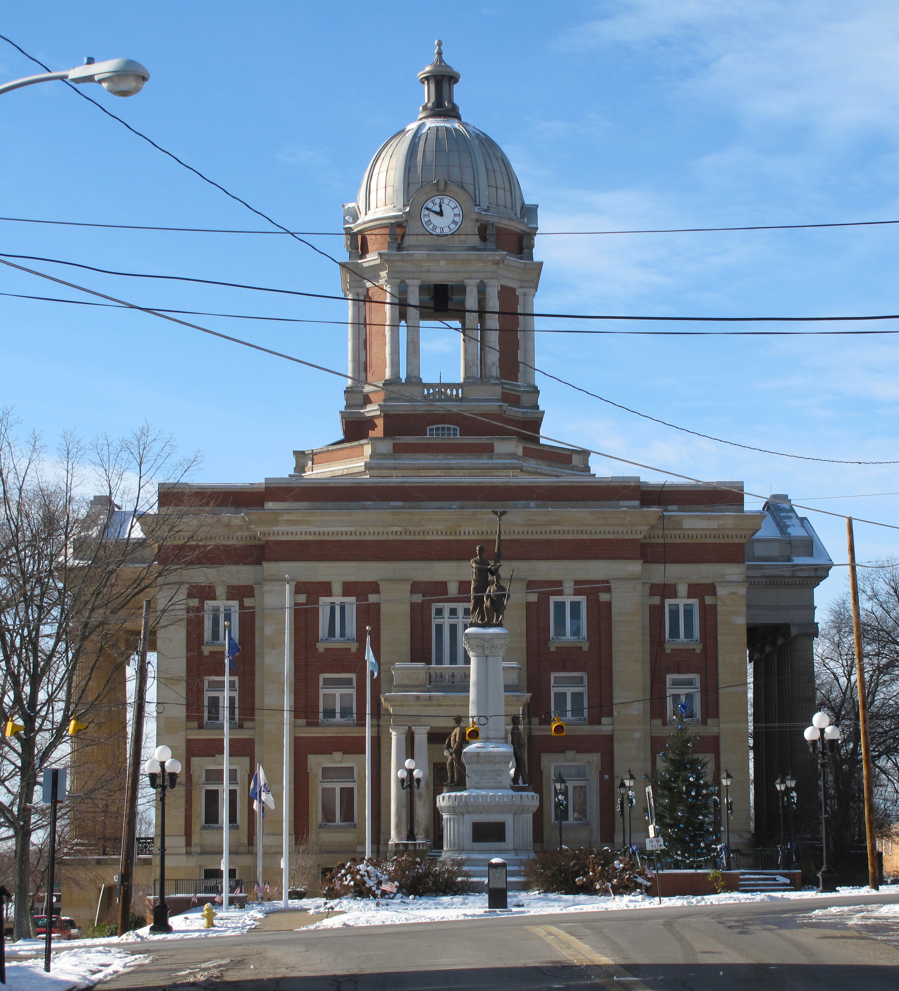
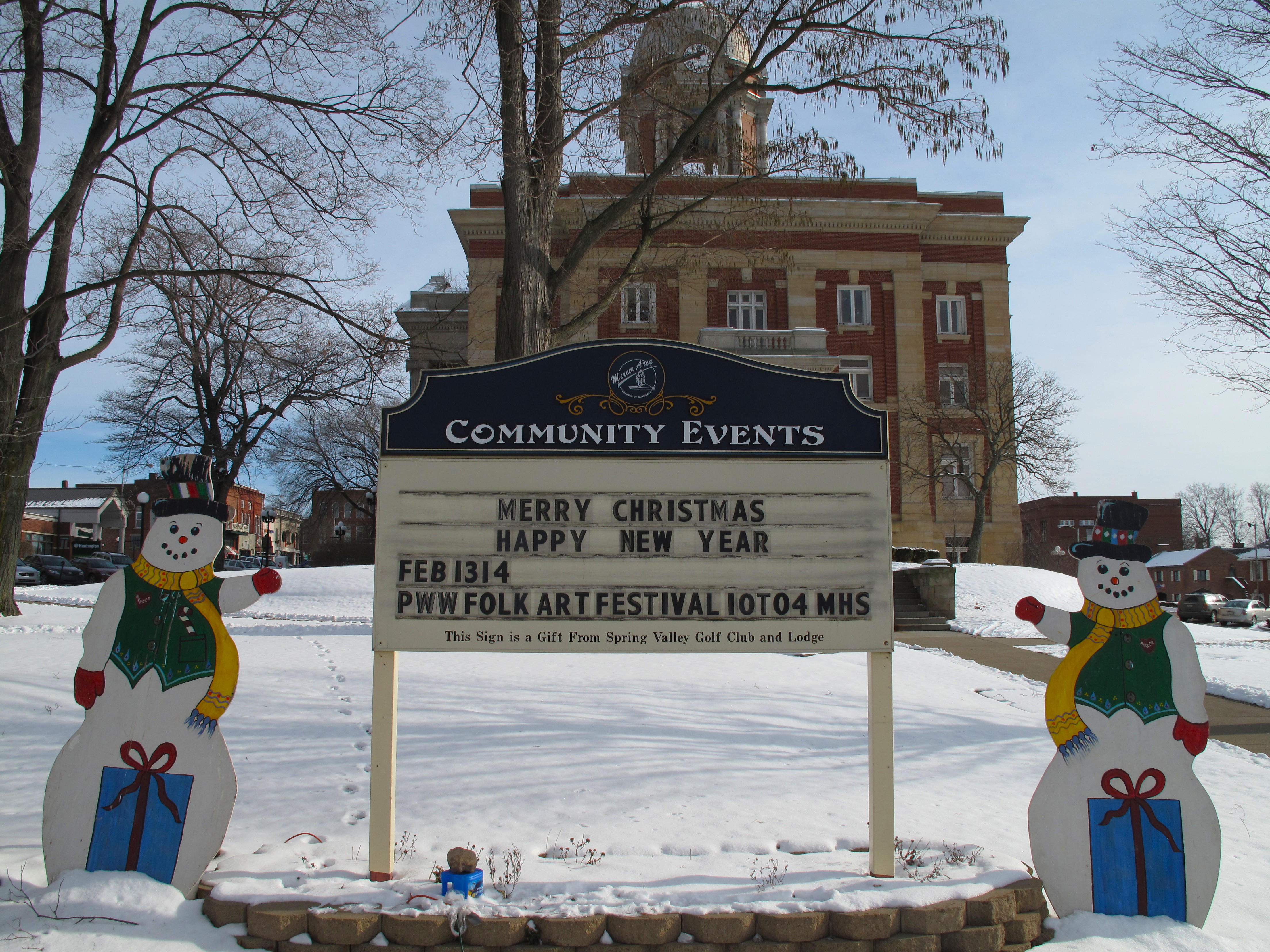
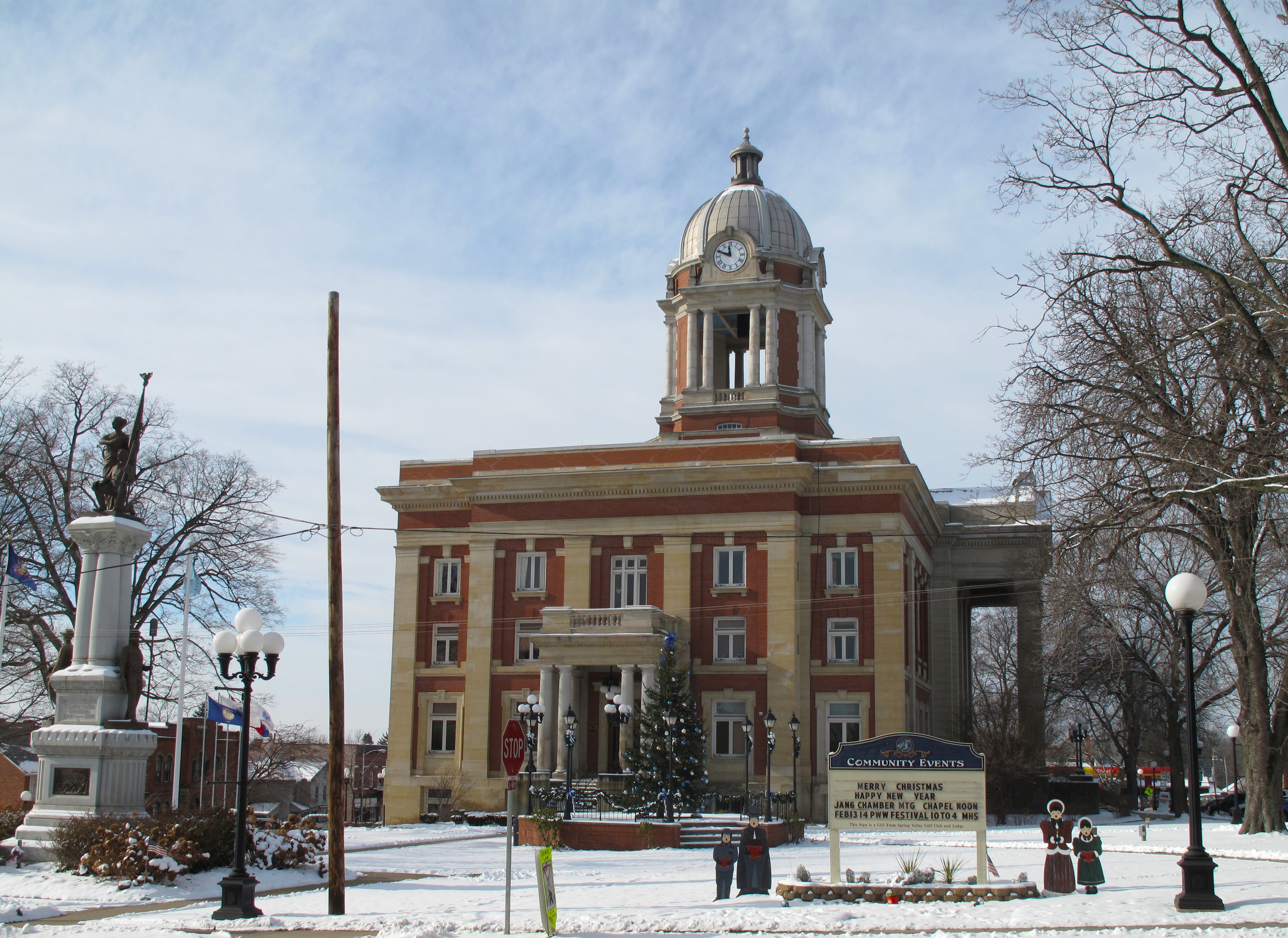
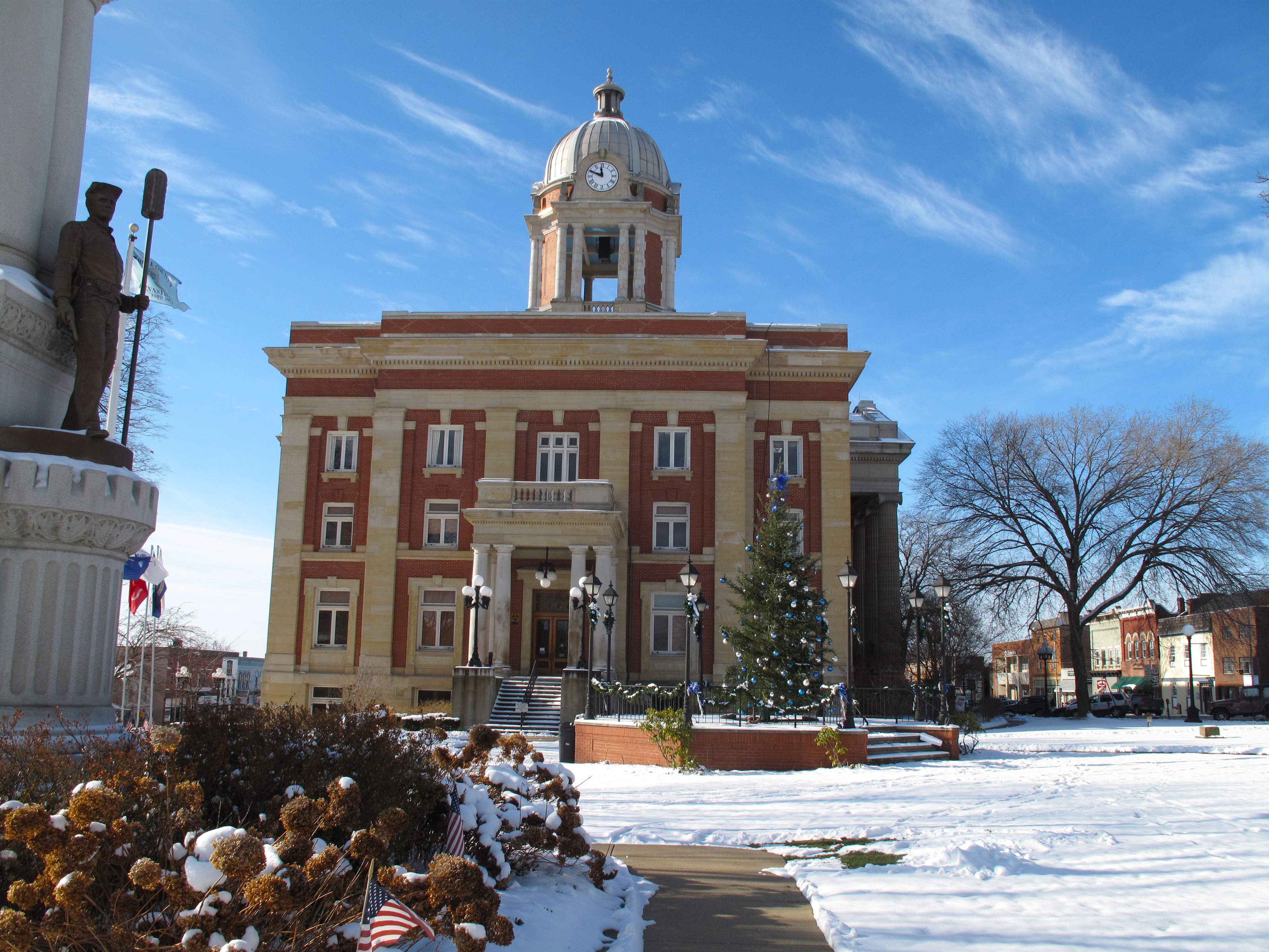
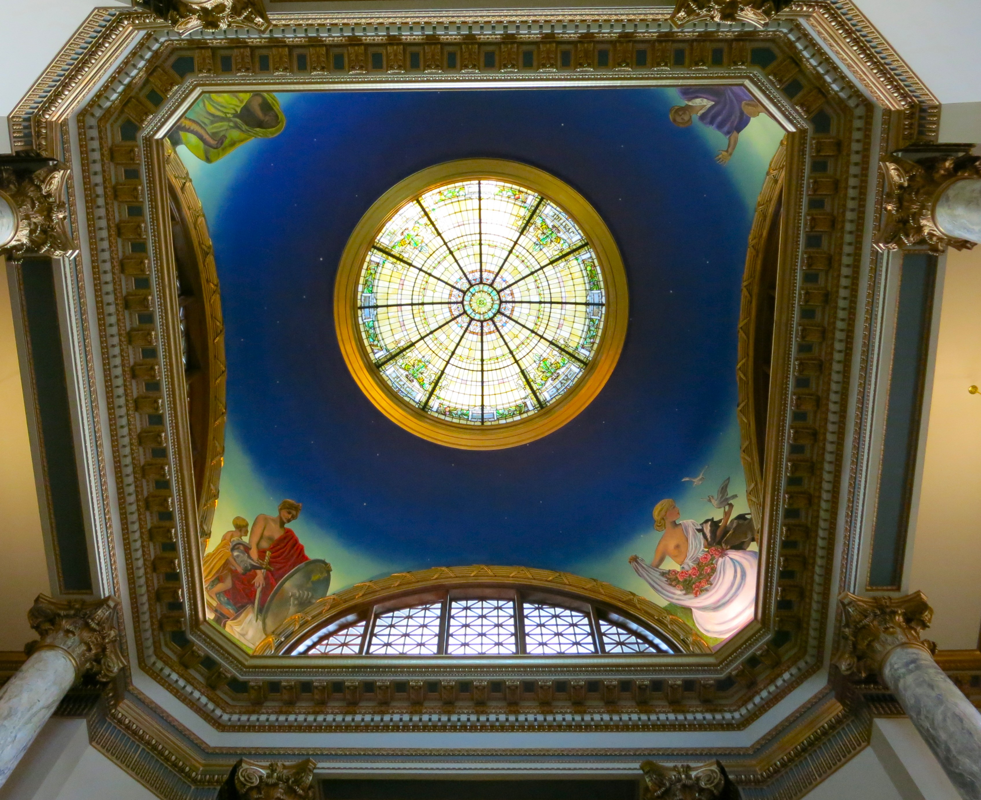
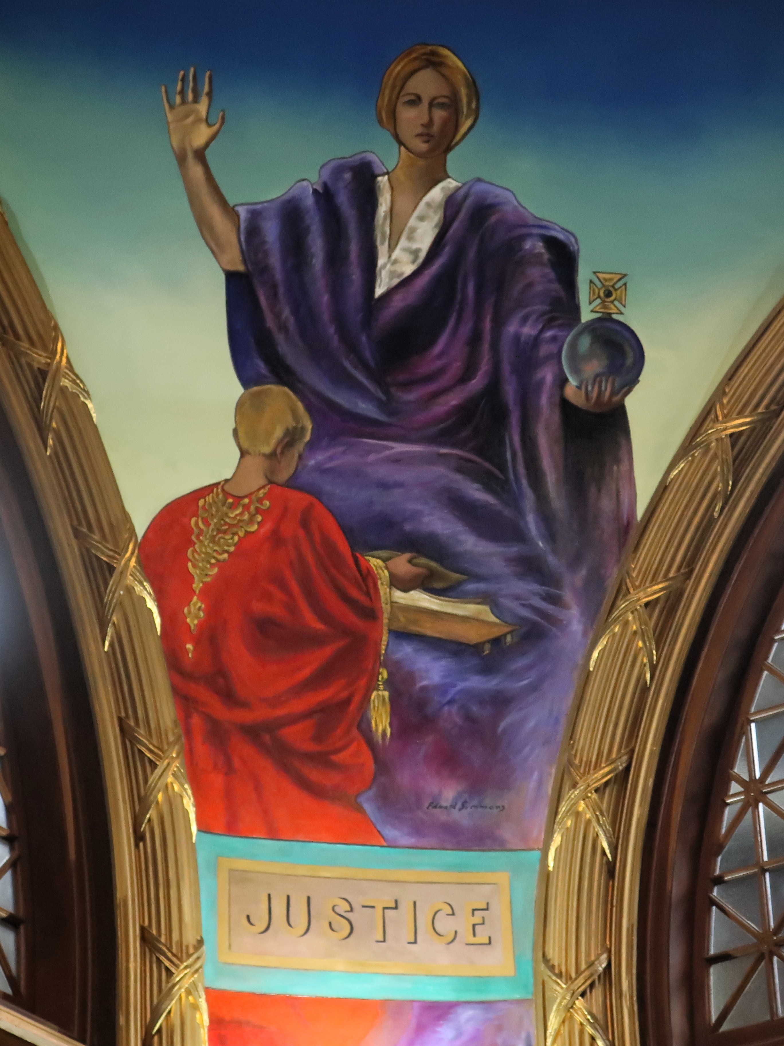
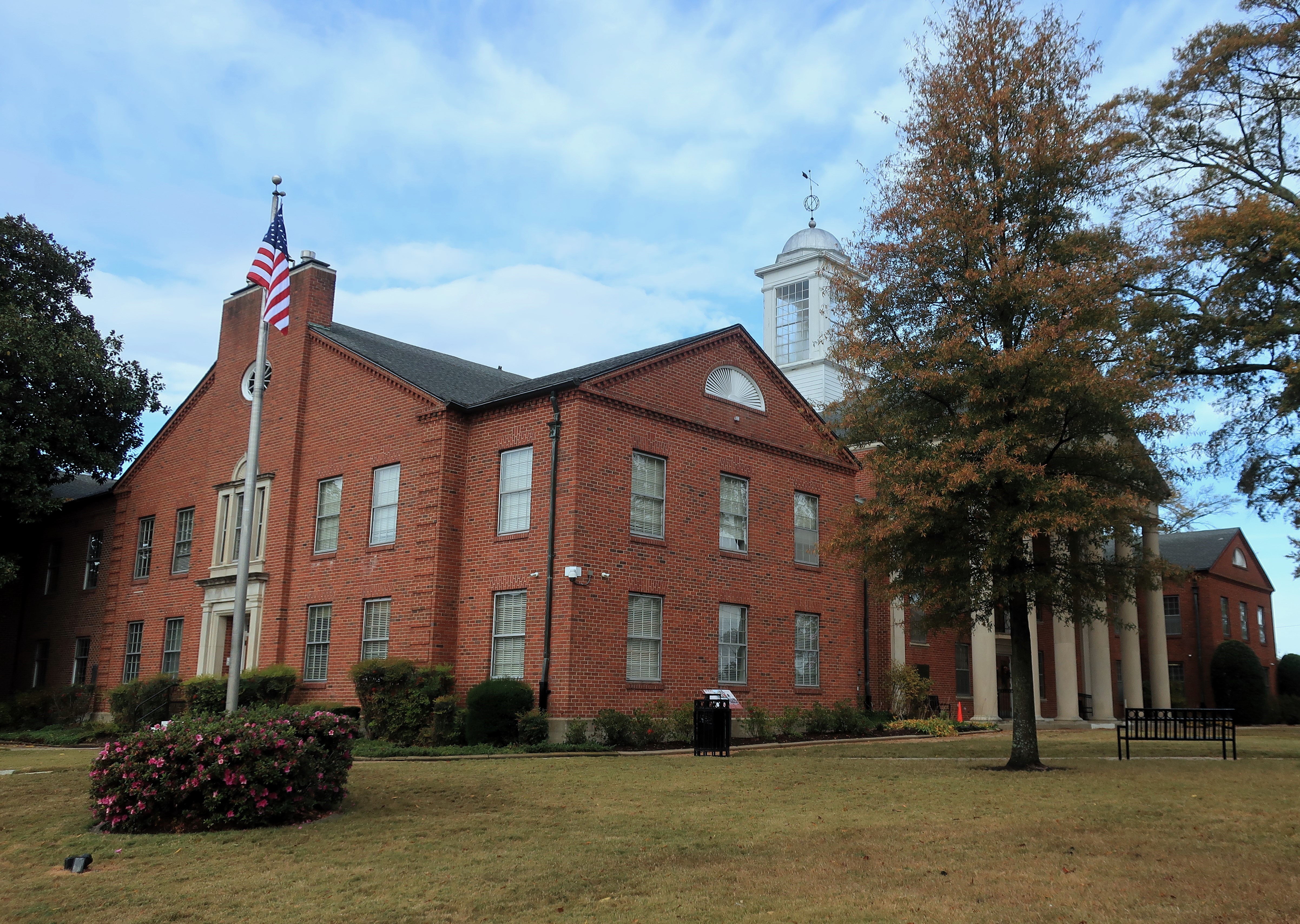
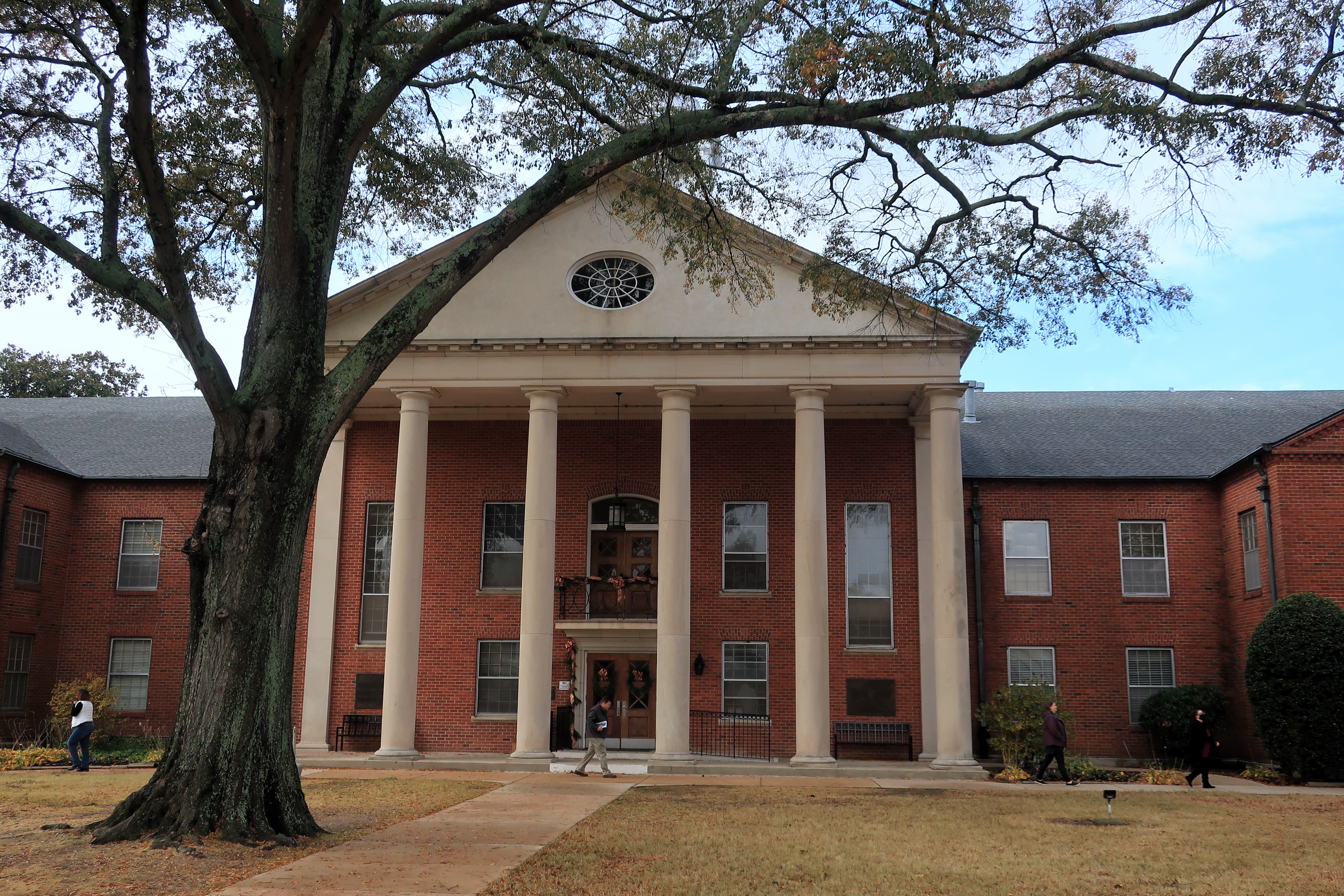
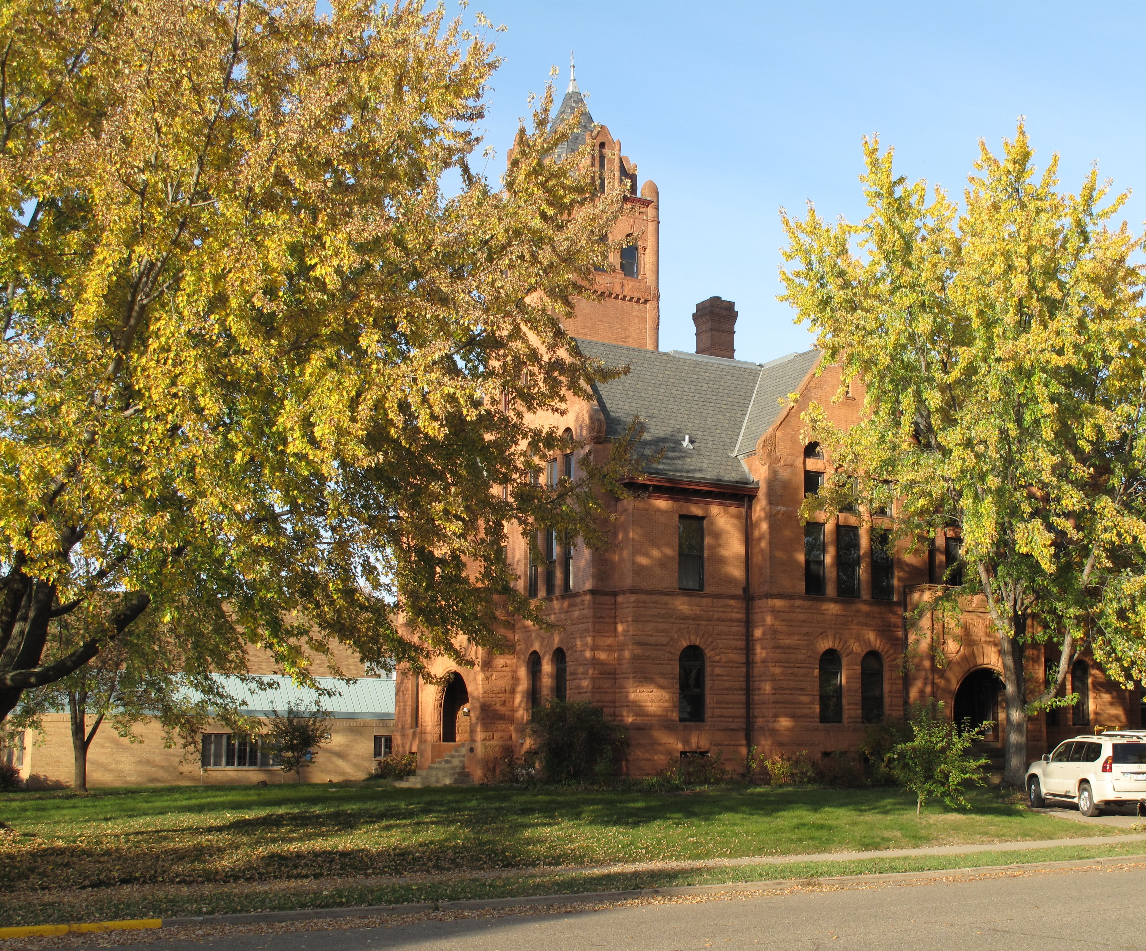
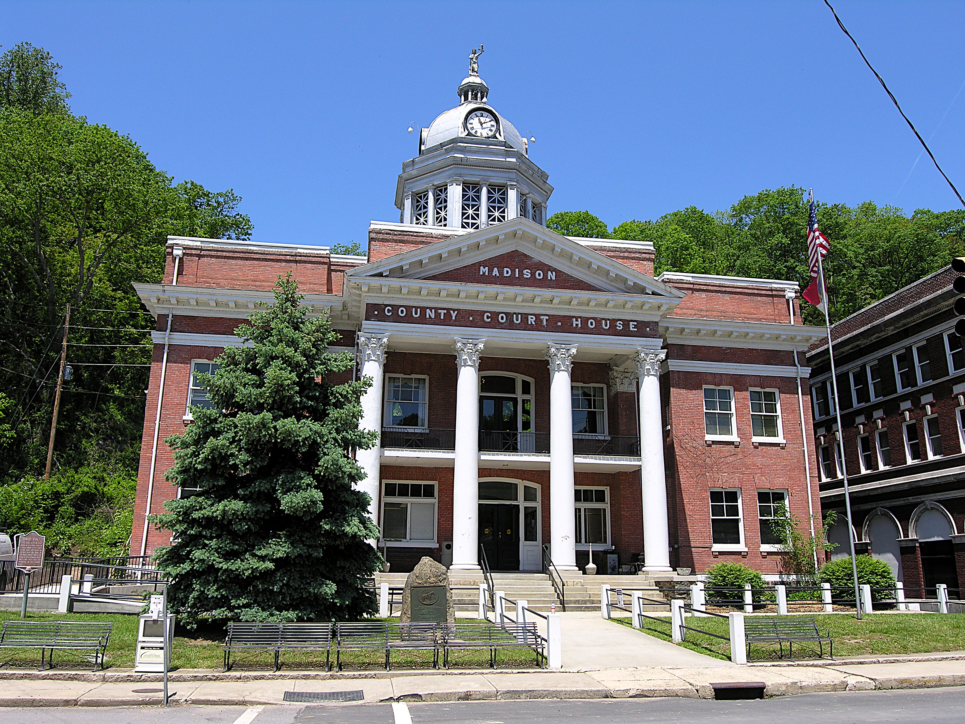
The Madison County Courthouse was constructed in 1907. It’s an old brick building of only two stories with a silver cupola. A statue of Lady Justice tops the cupola while classical pillars guard the front entrance. Like many buildings in the mountains, the courthouse is built into the side of a hill, and there is no back entrance.
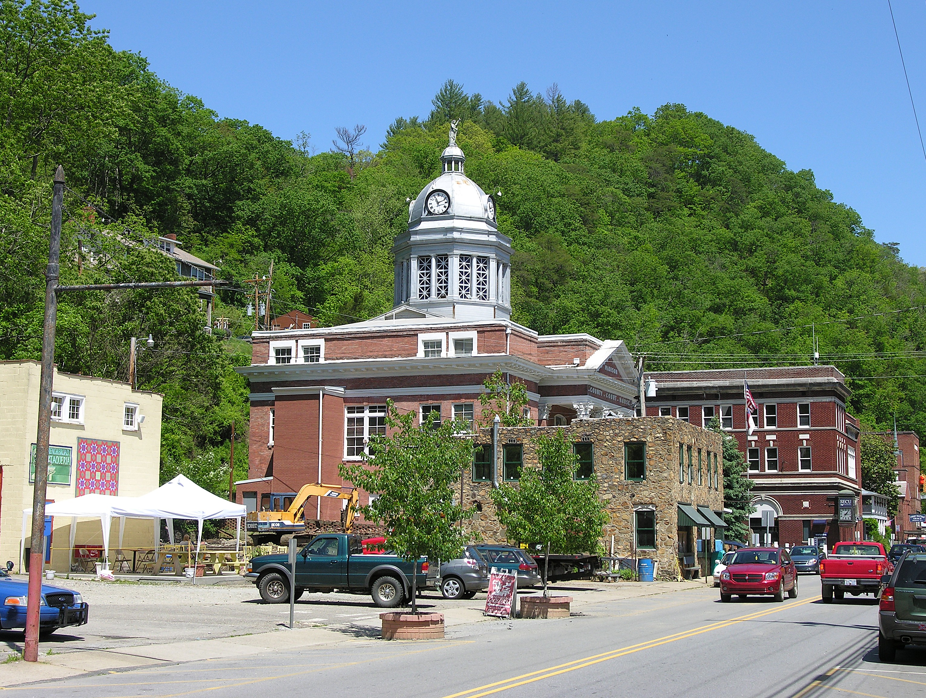
A stone marker near the courthouse steps memorializes Robert E. Lee; it also marks Main Street as part of the old Dixie Highway route.

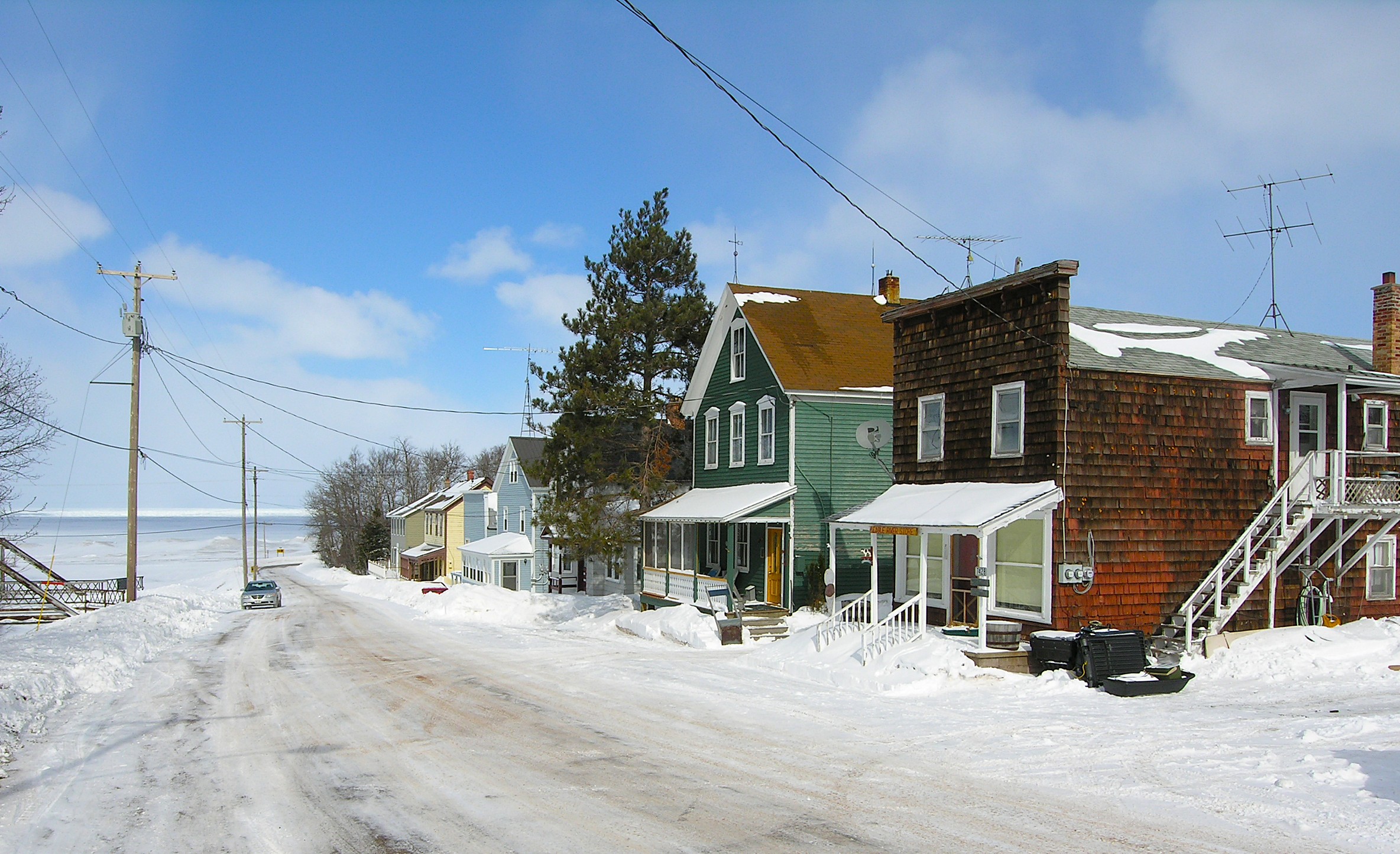
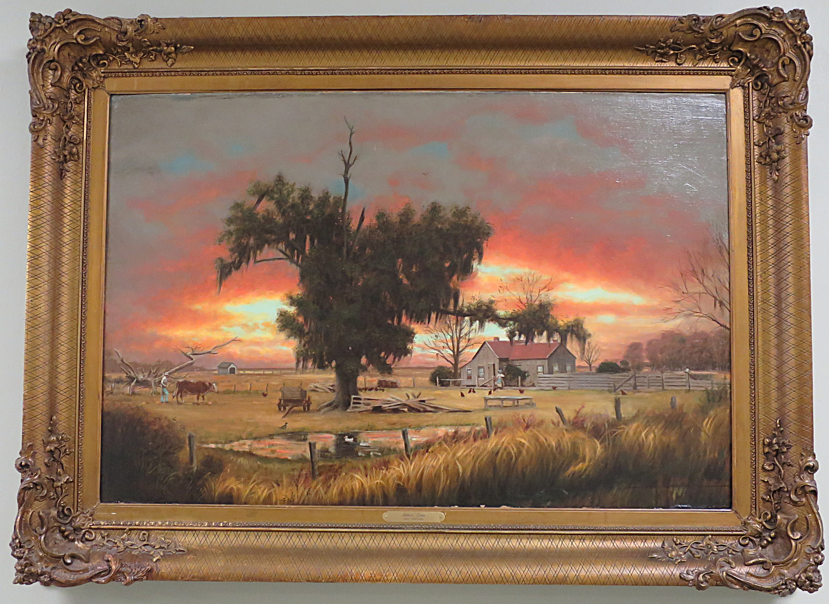
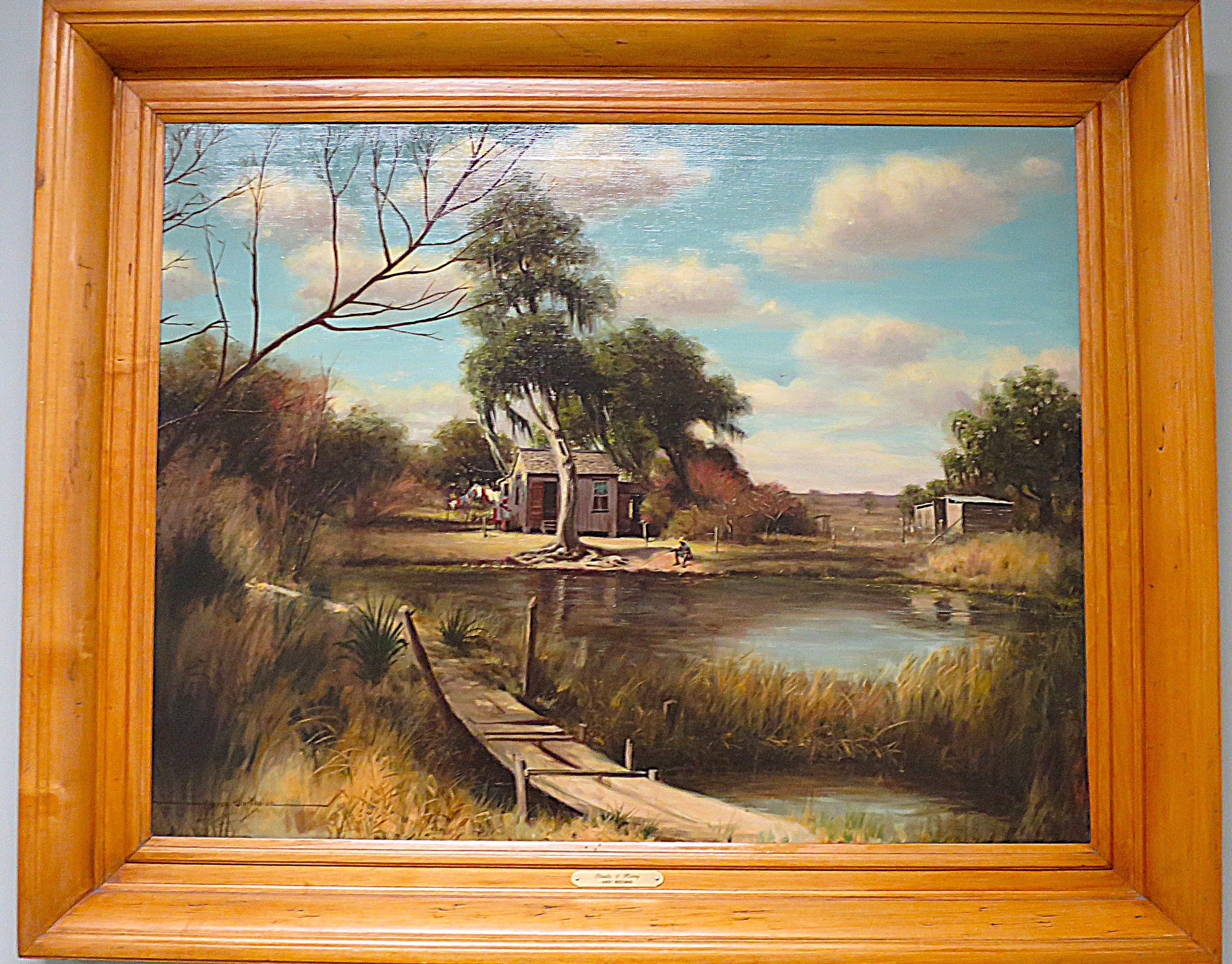
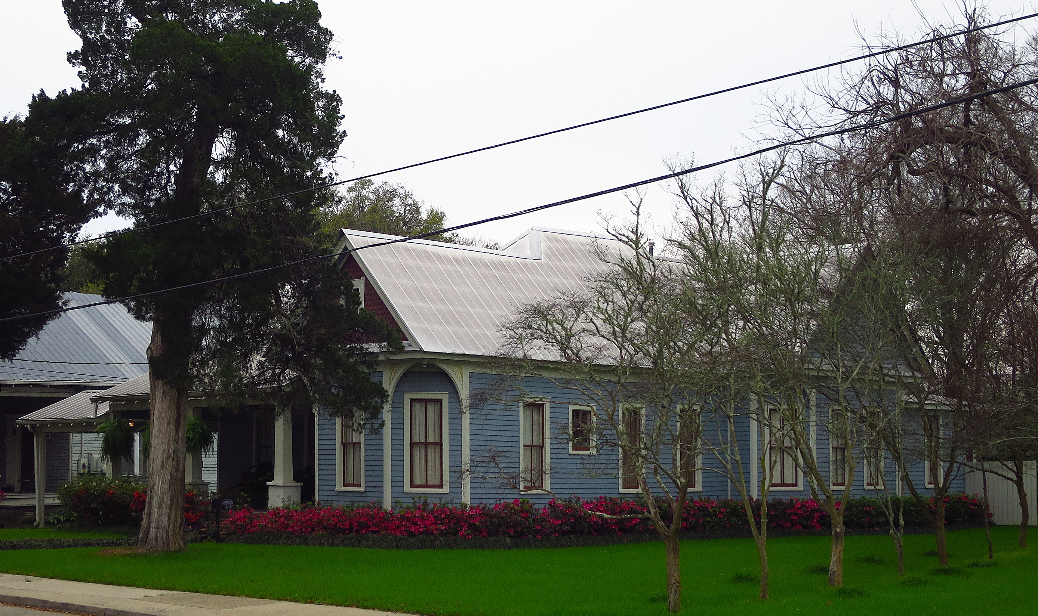
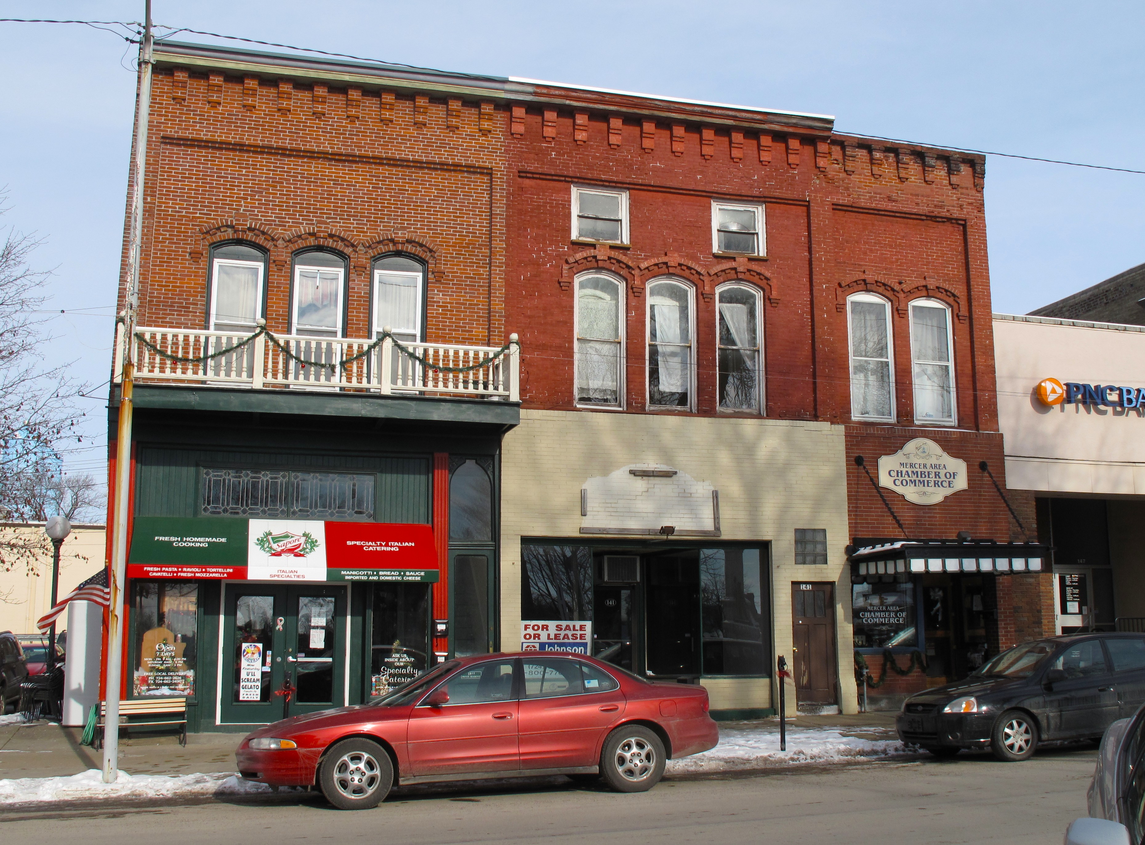
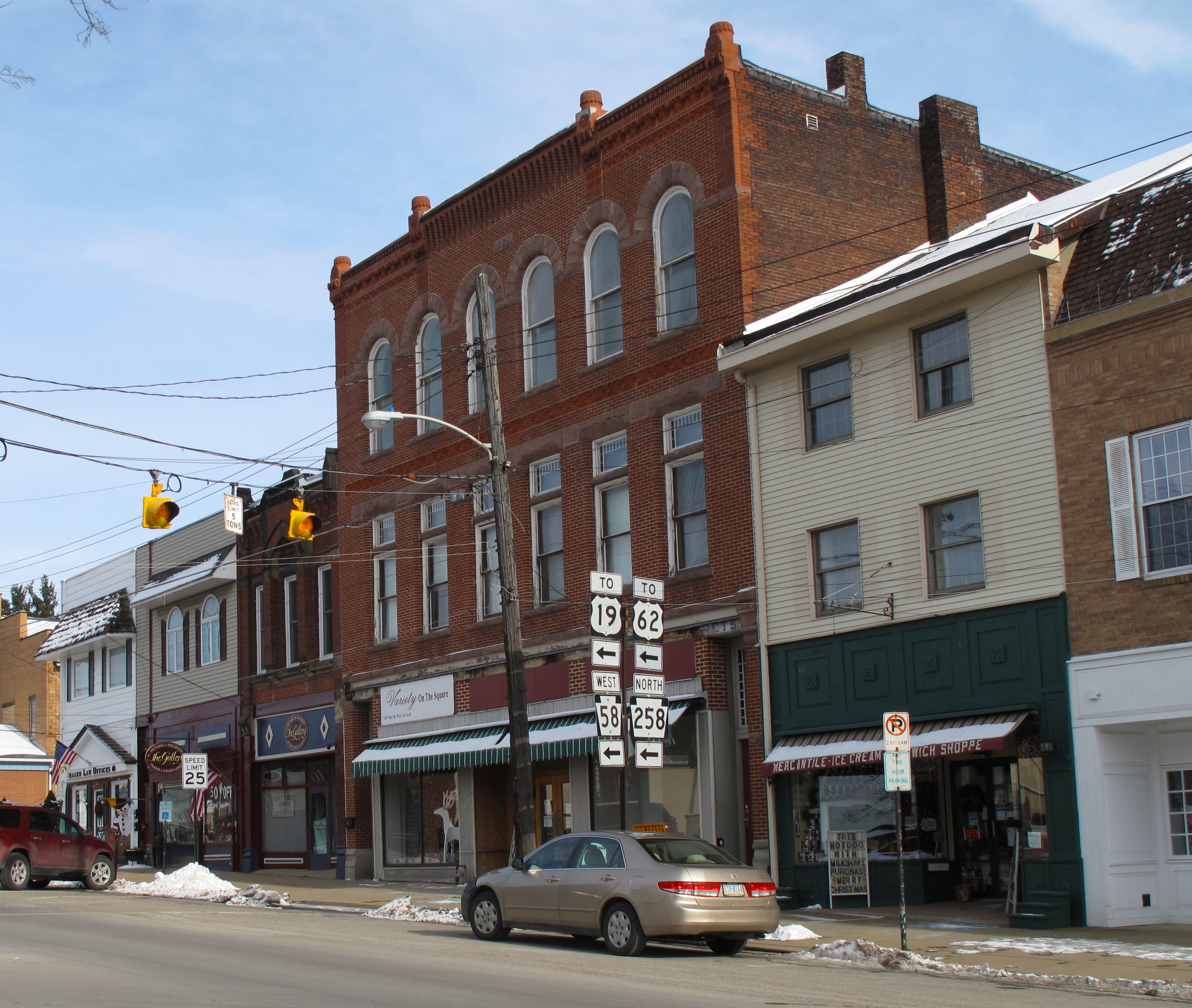
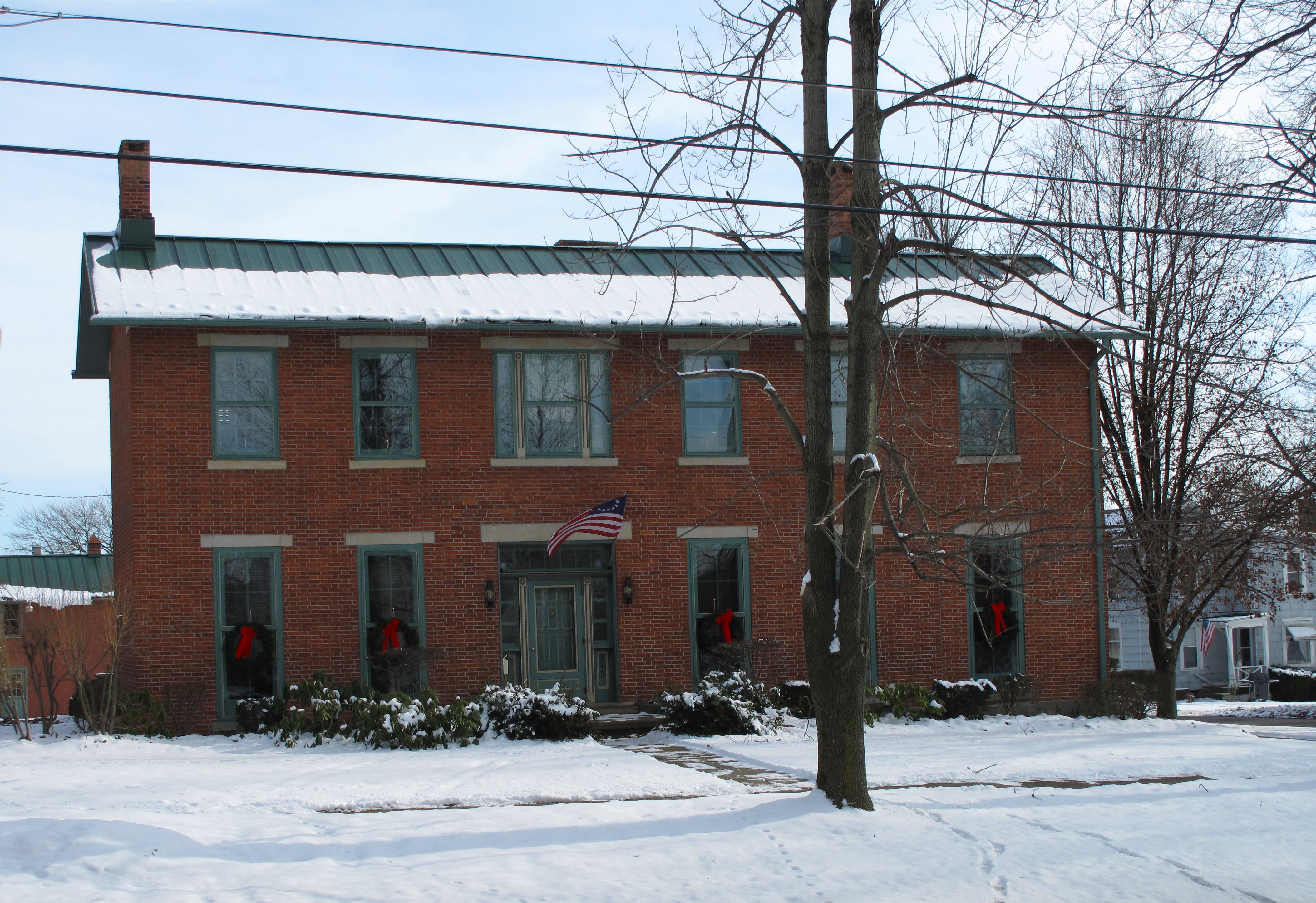
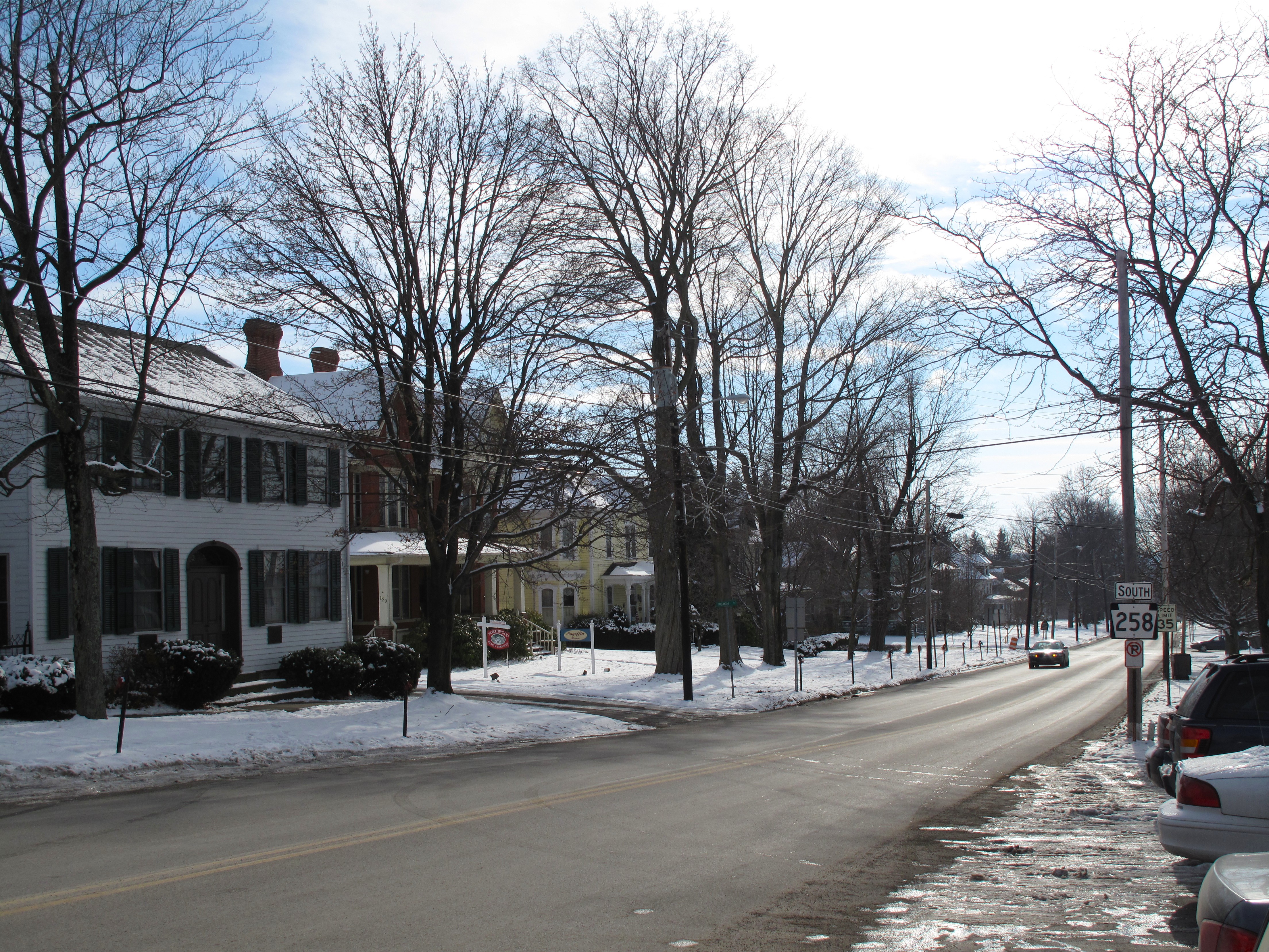
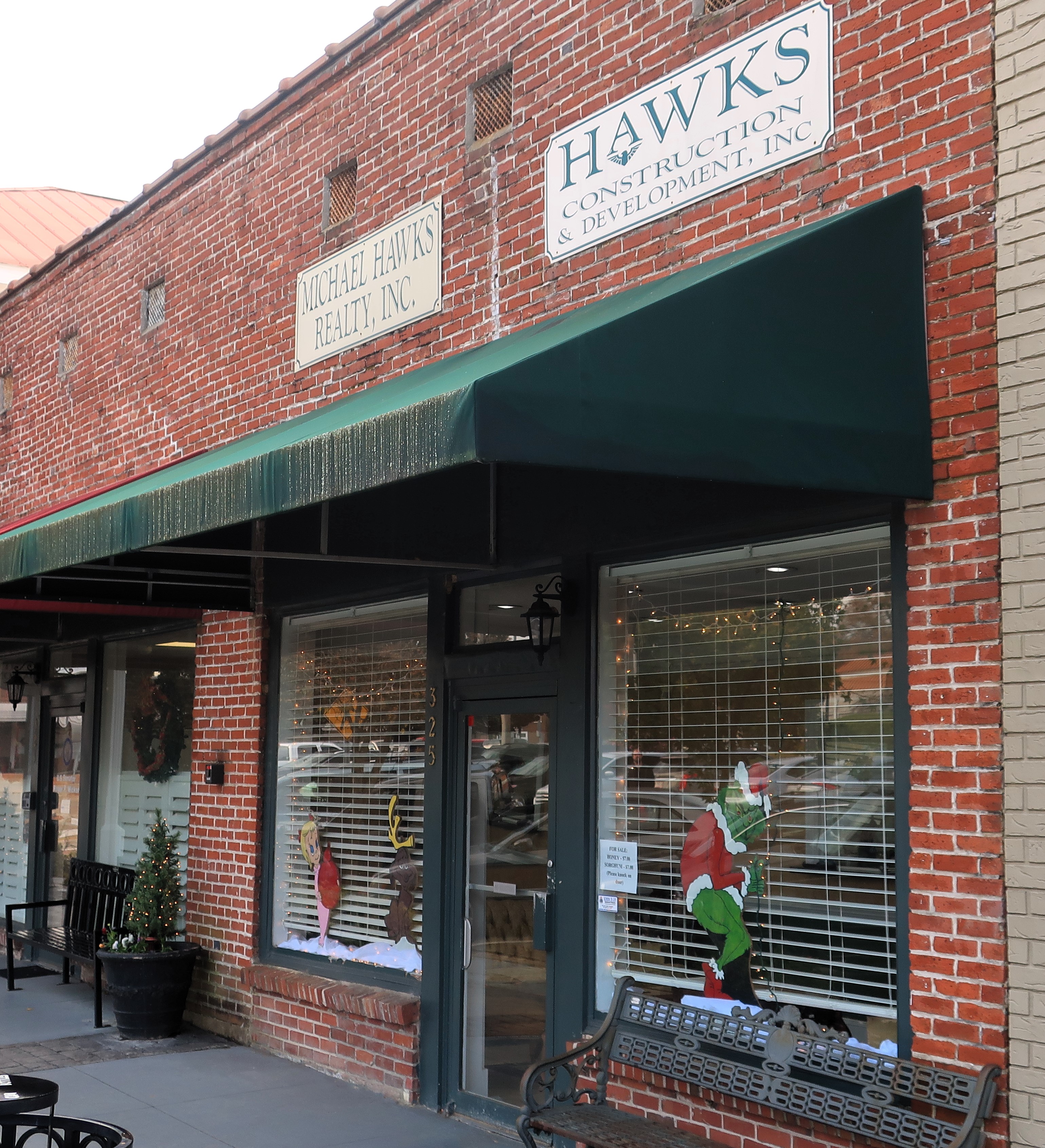
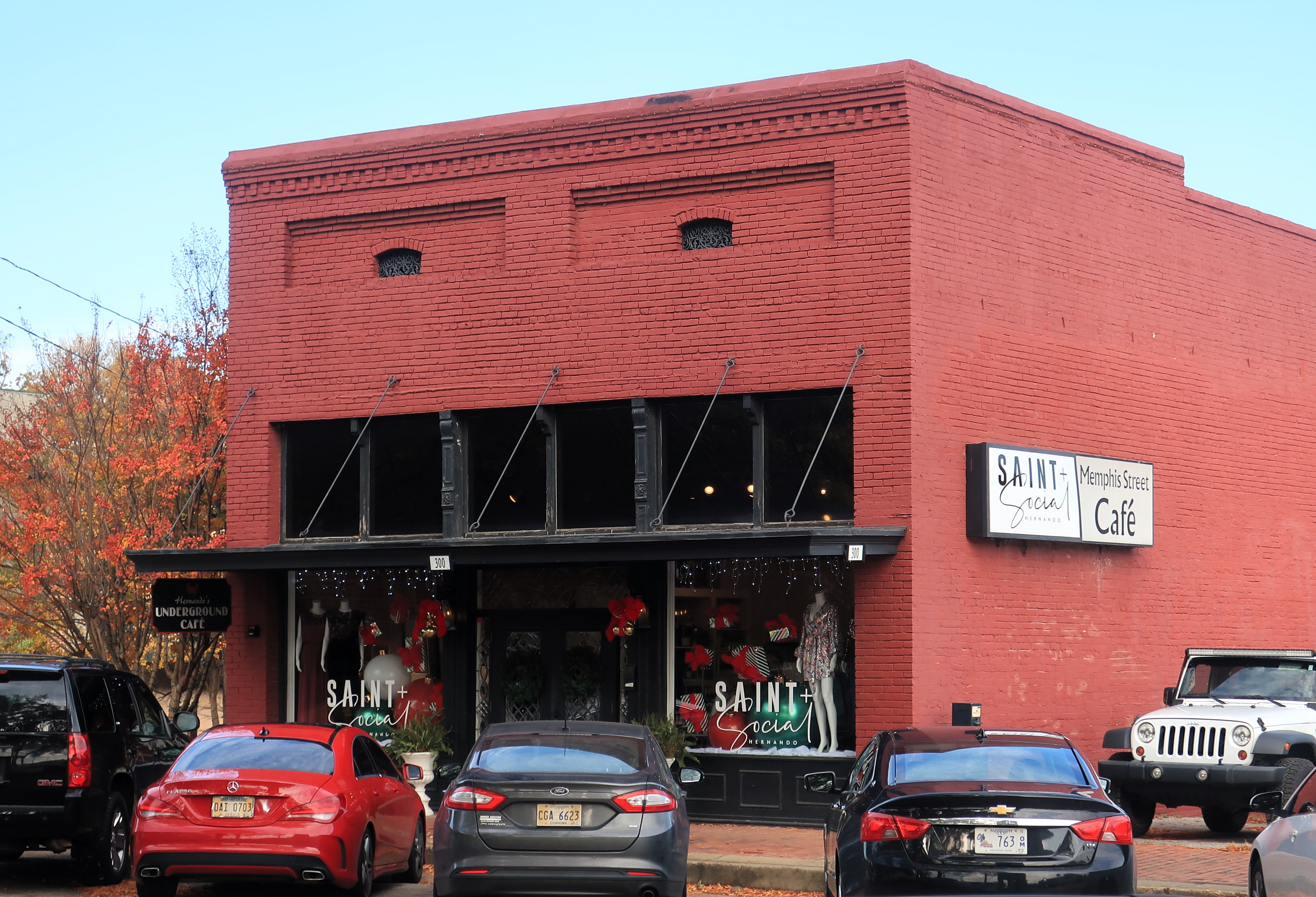
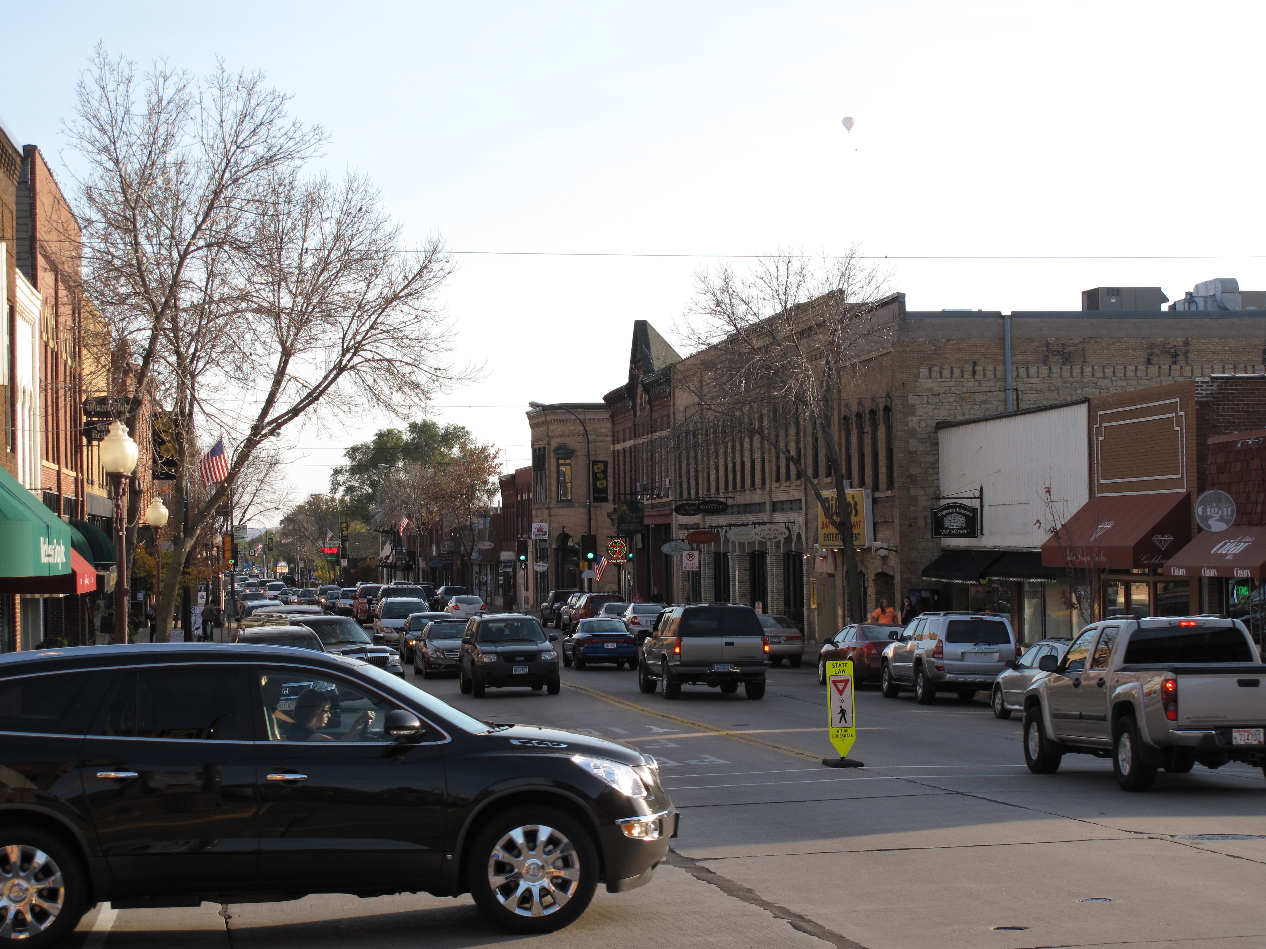
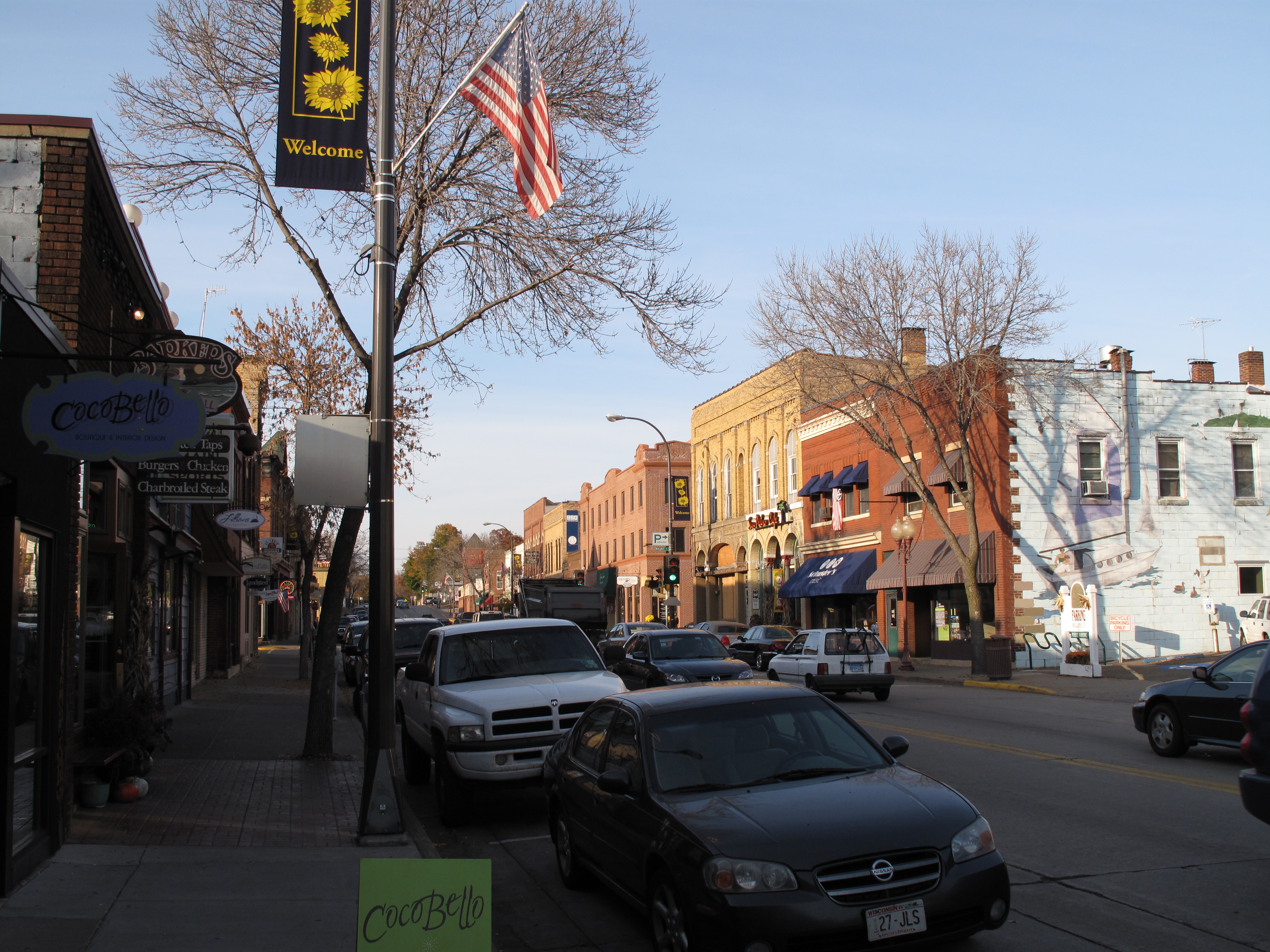
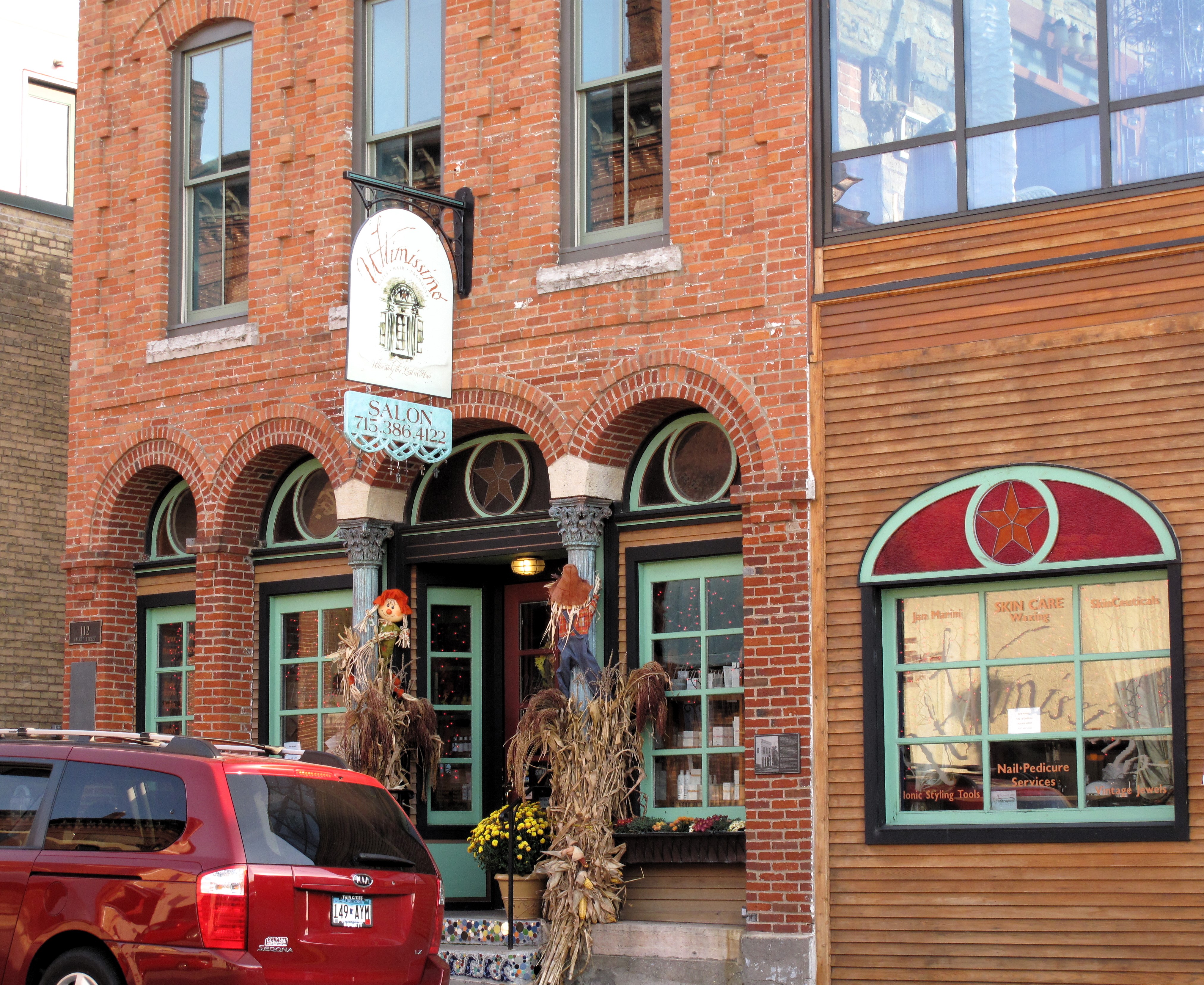
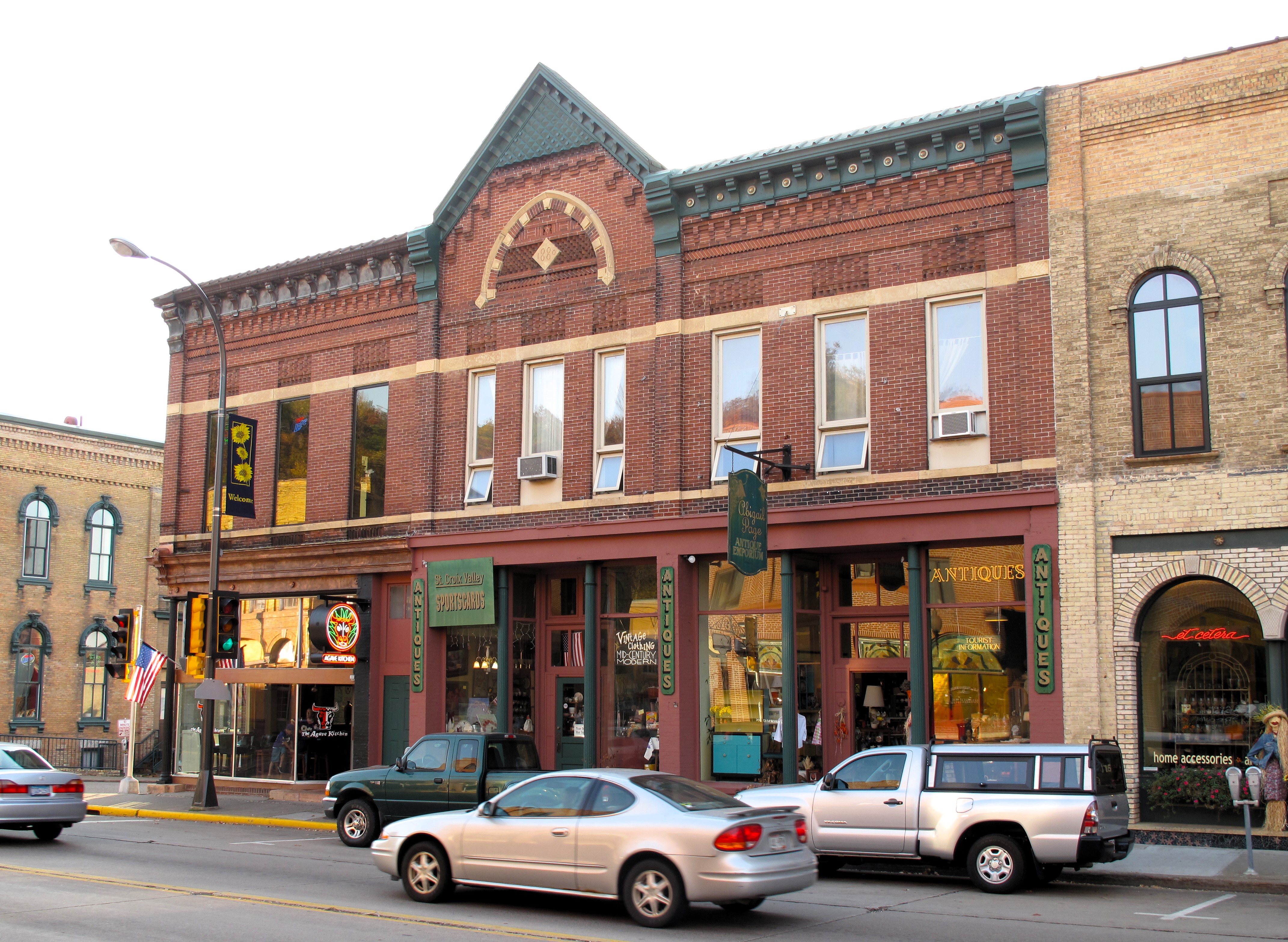
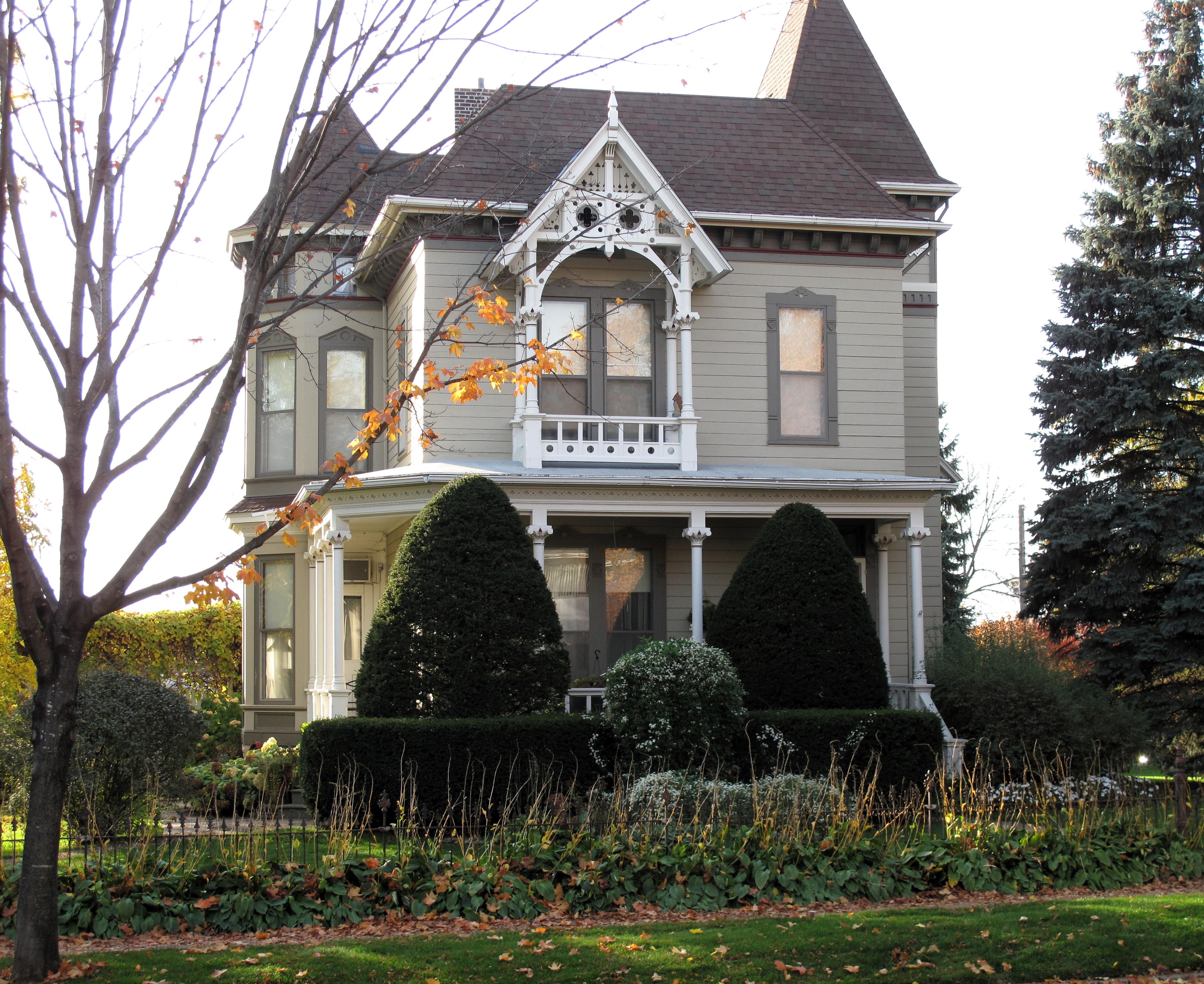
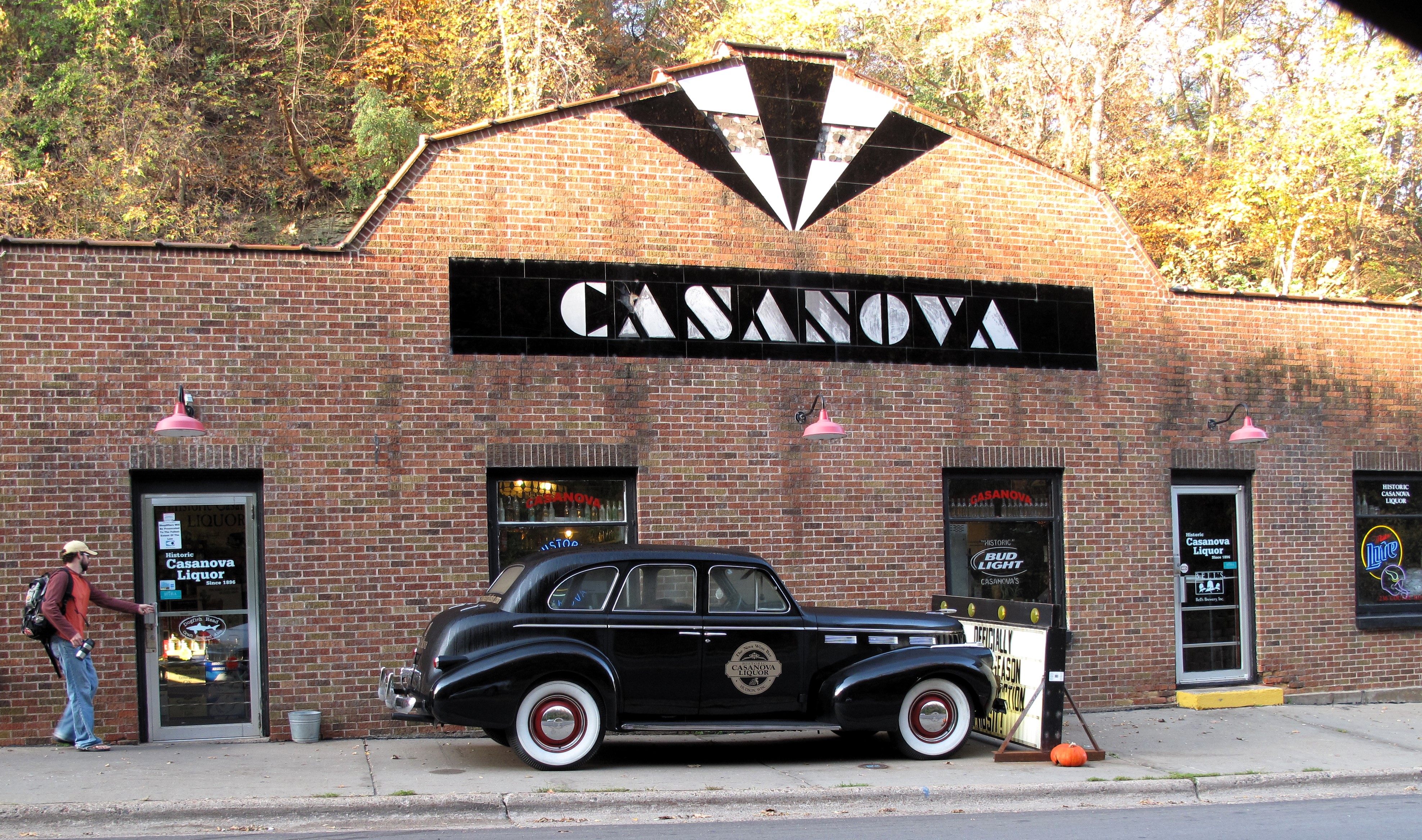
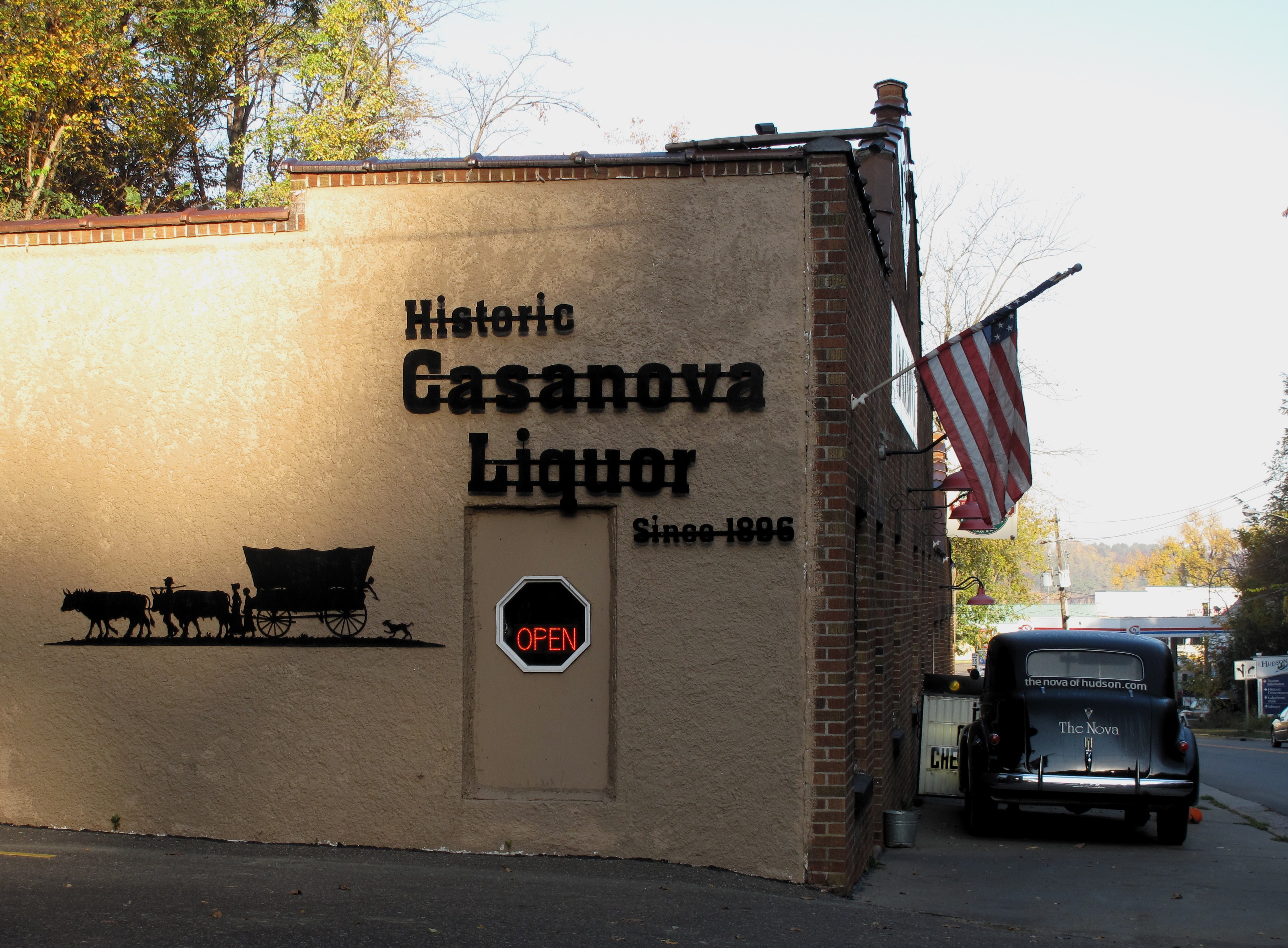
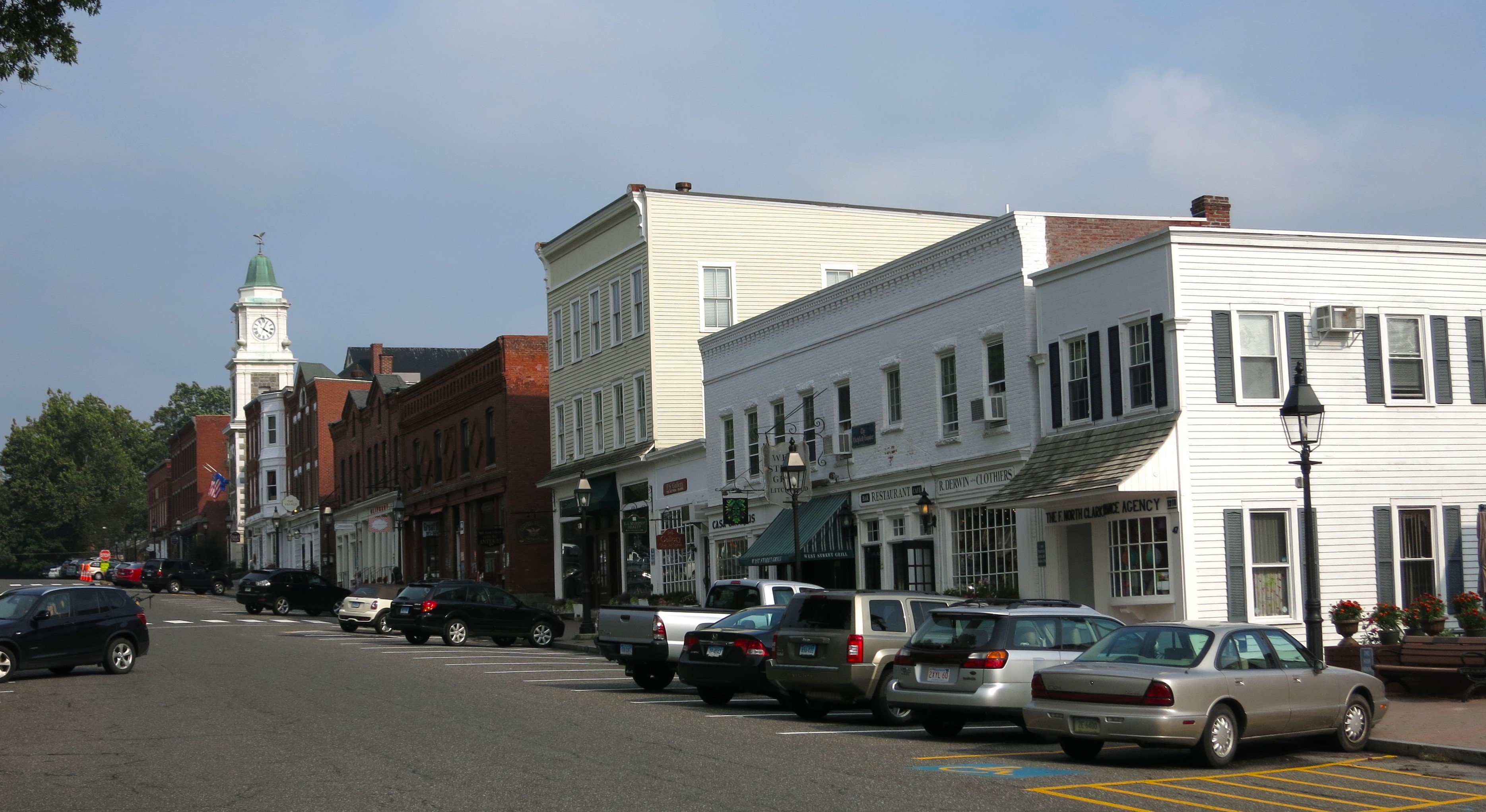
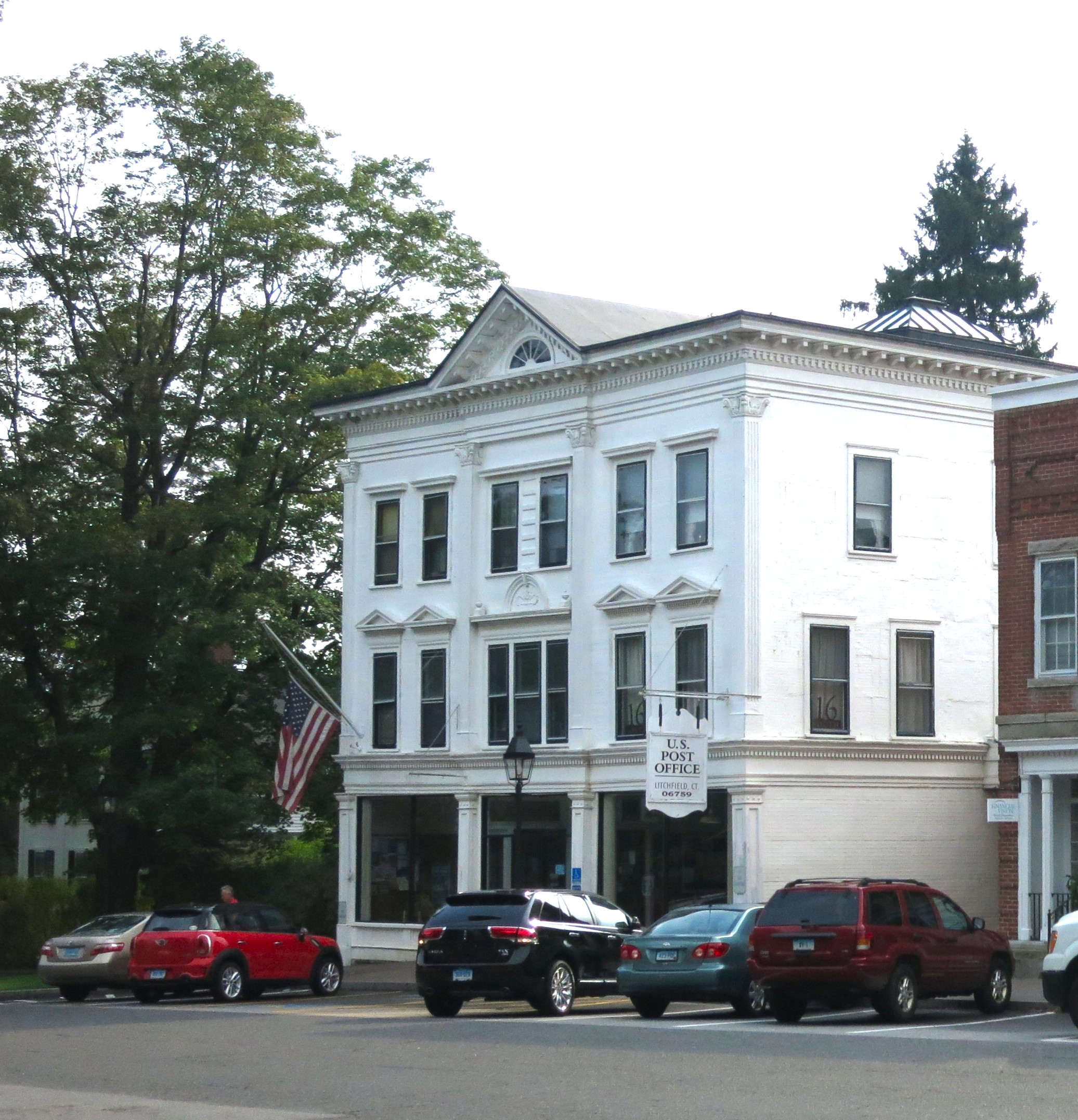
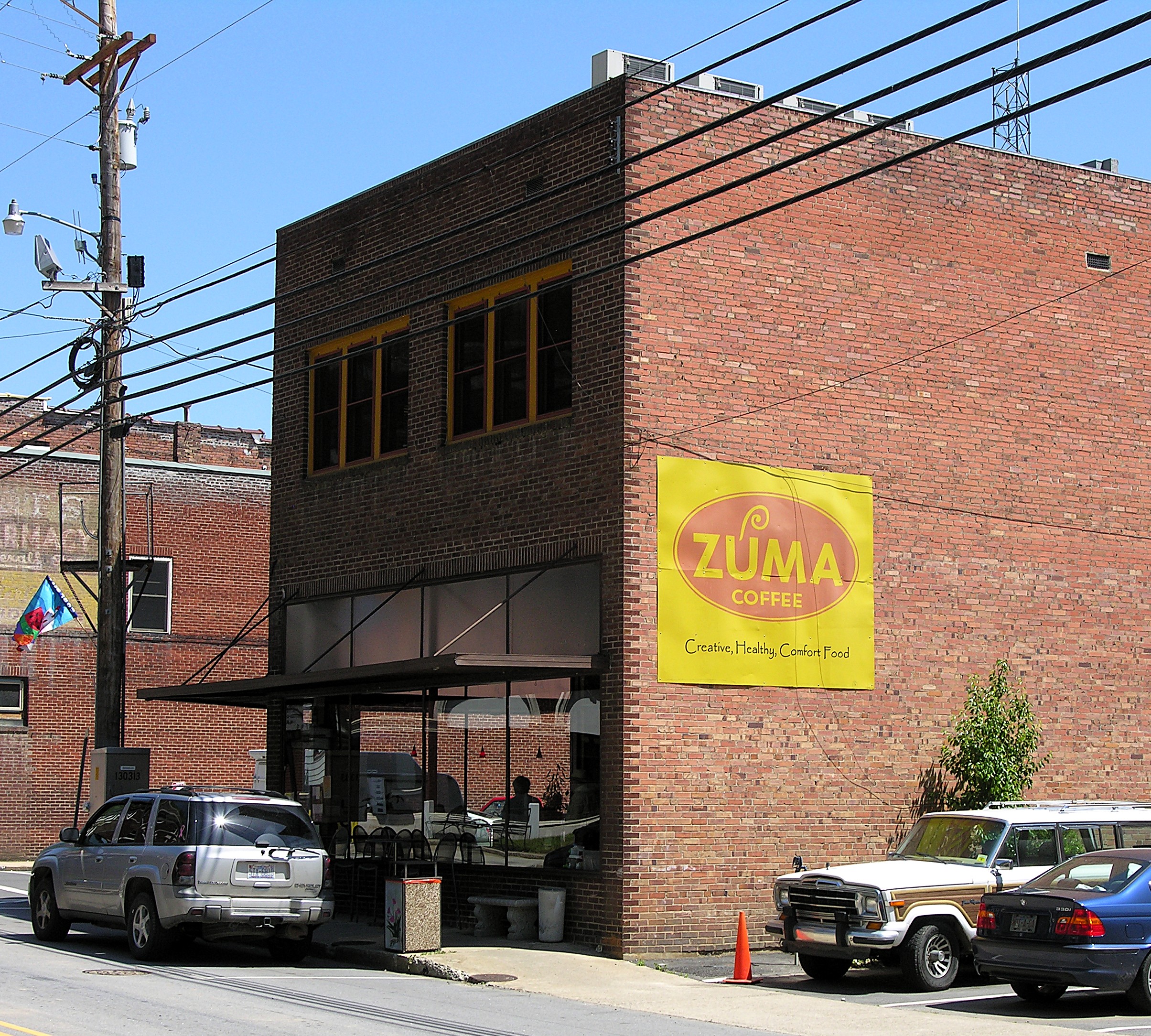
Art and tourism have permeated the mountains of western North Carolina, as several art galleries line Main Street. Main Street is Marshall’s only “through” street, with the river on one side and steep, brilliant green hills pressing against the small buildings lining the other side. The town’s single coffee shop, “Zuma Coffee,” would fit perfectly in Portland, Oregon, except for the available sweet tea for $1. Turkey chipotle wraps are offered for five bucks. Photography for sale, mainly featuring shots of waterfalls, adorns the brick walls of Zuma.
Most of Main Street’s buildings are brick. Brick is relatively cheap locally.
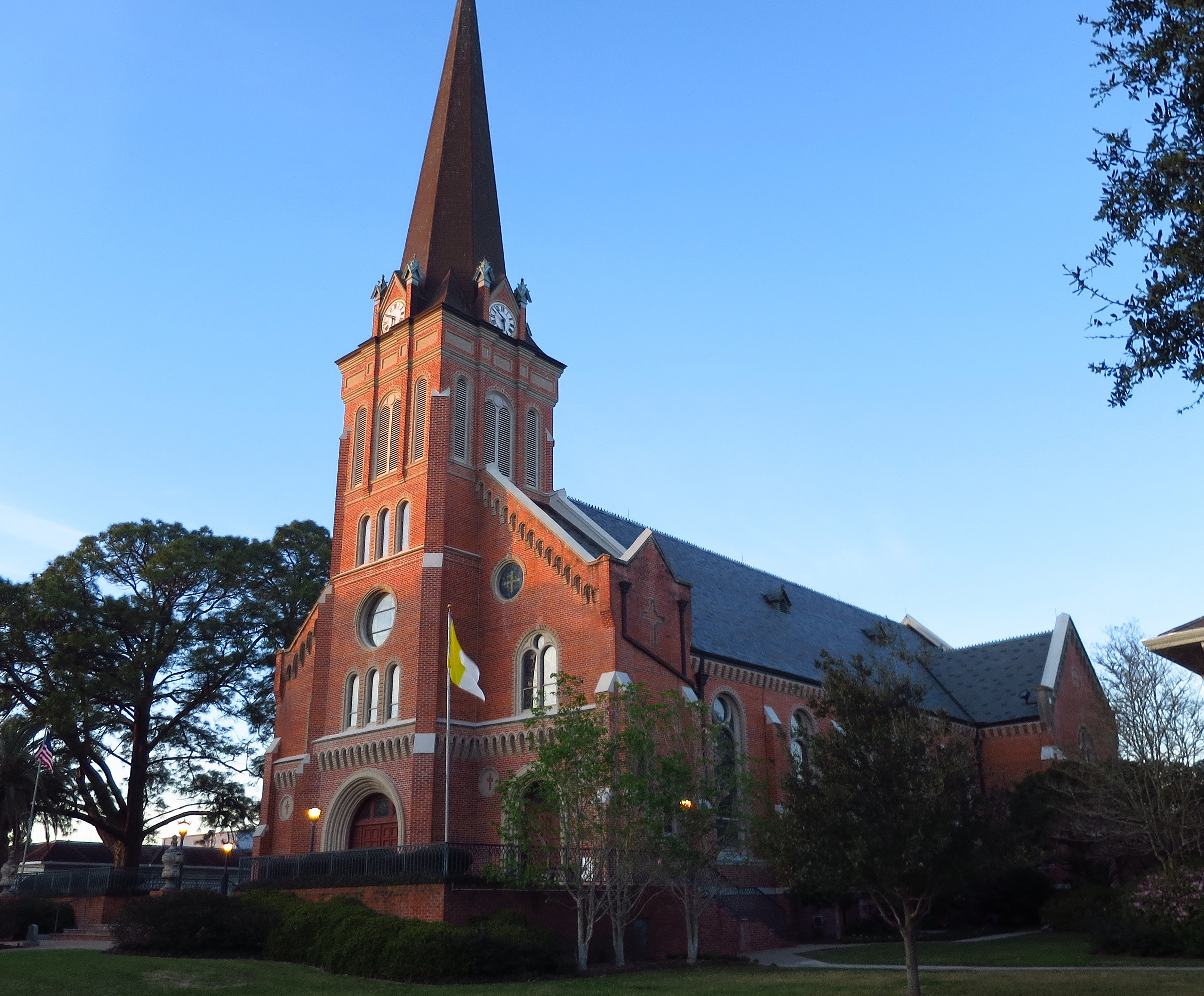
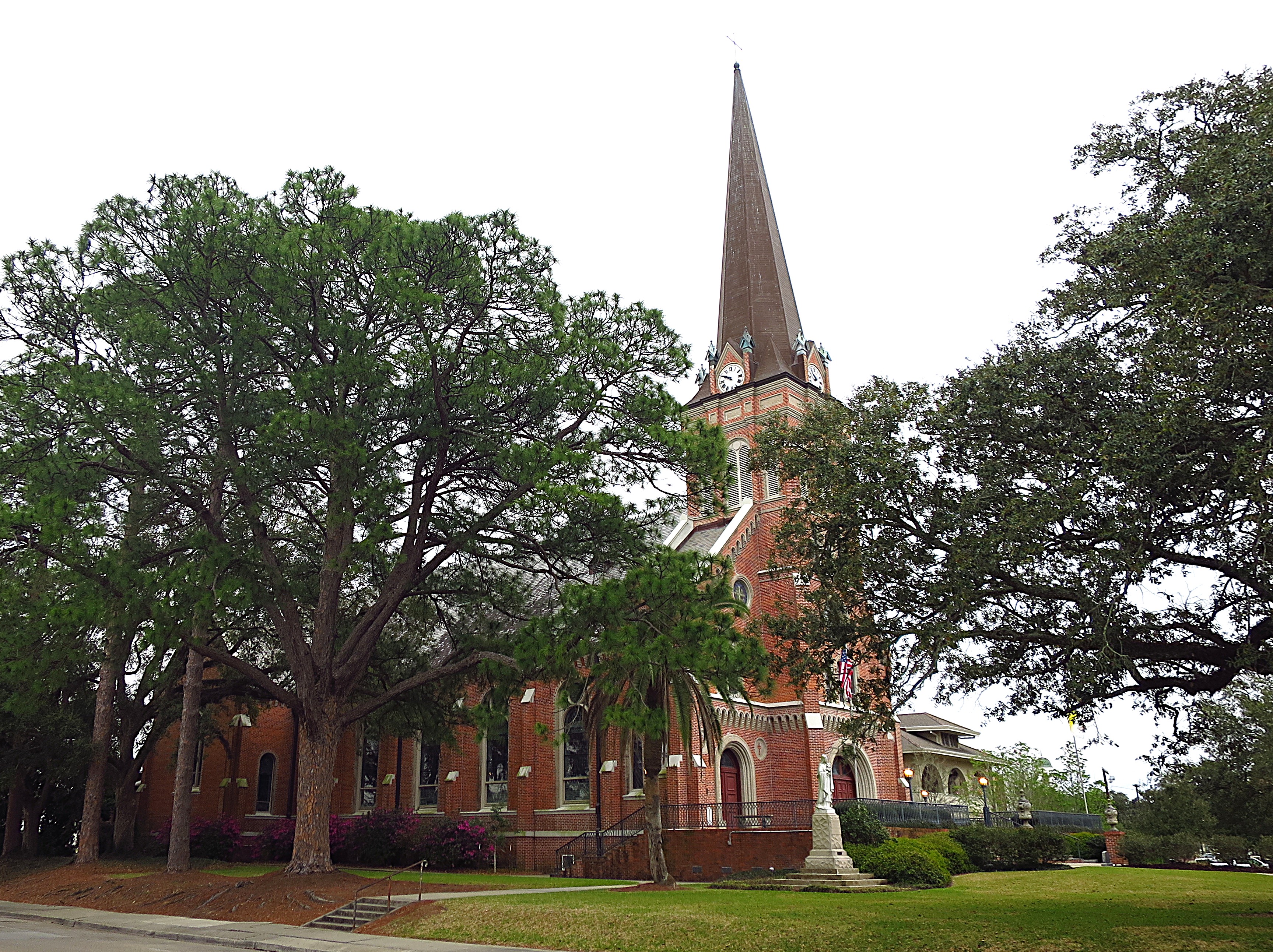
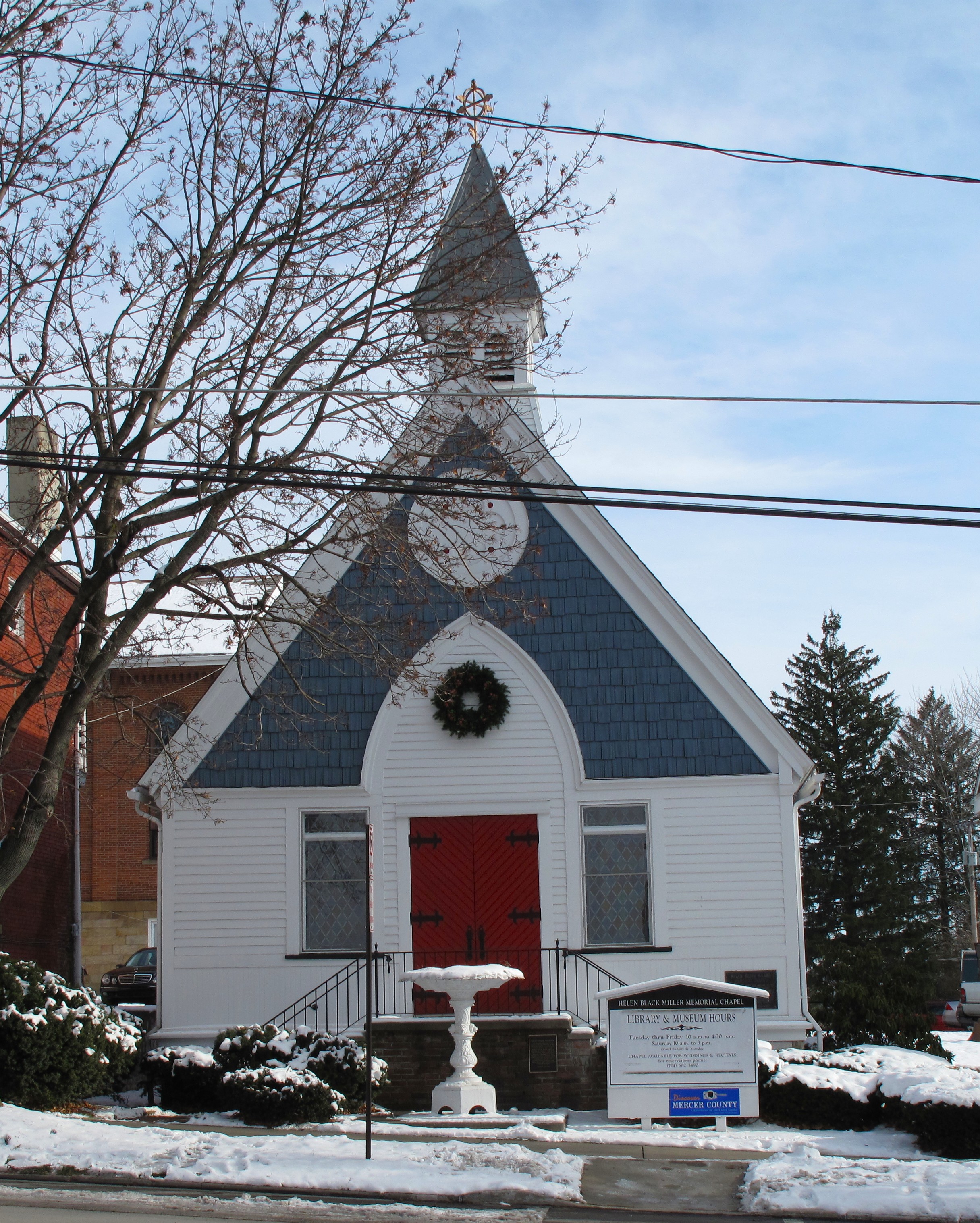
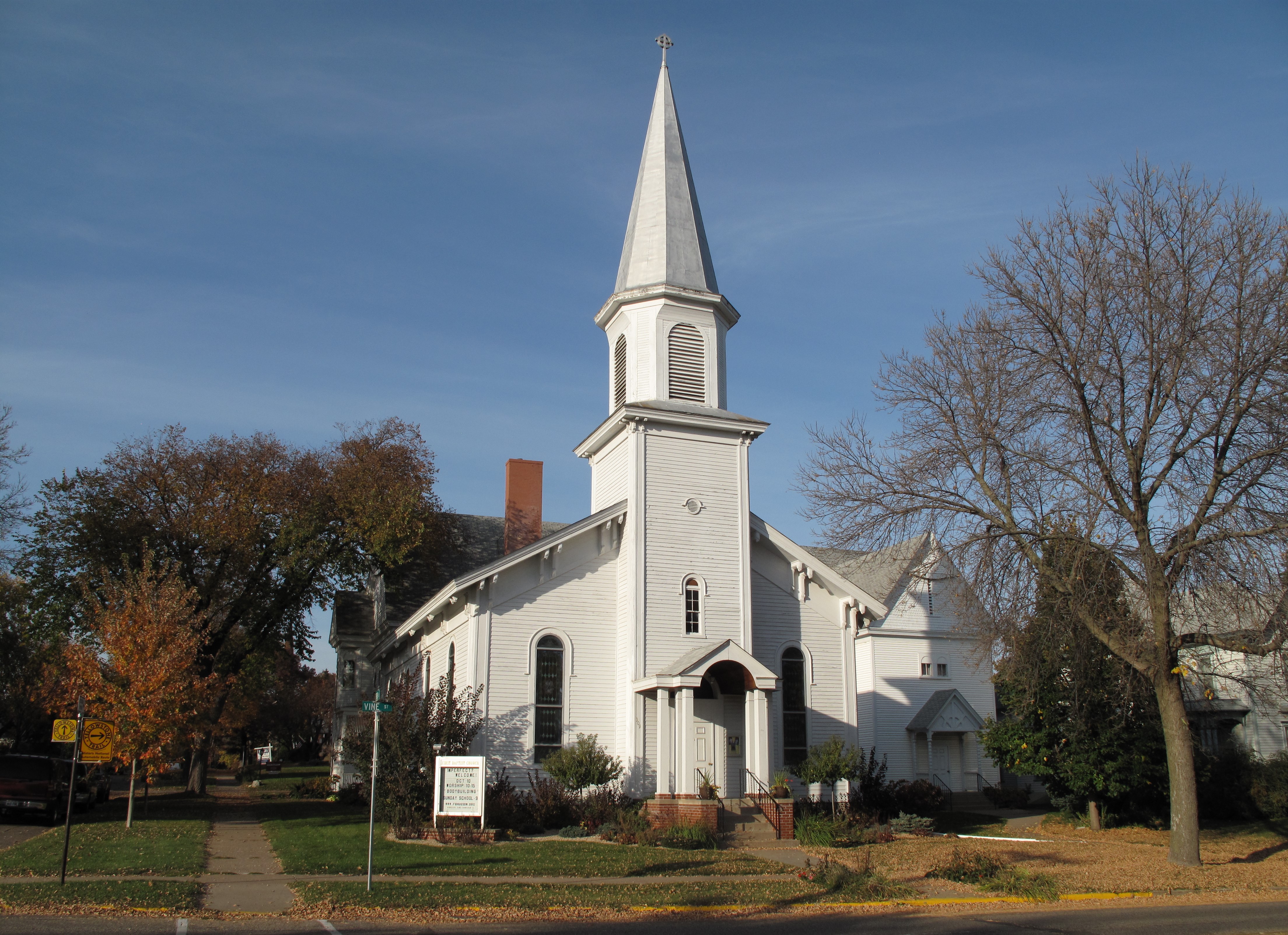
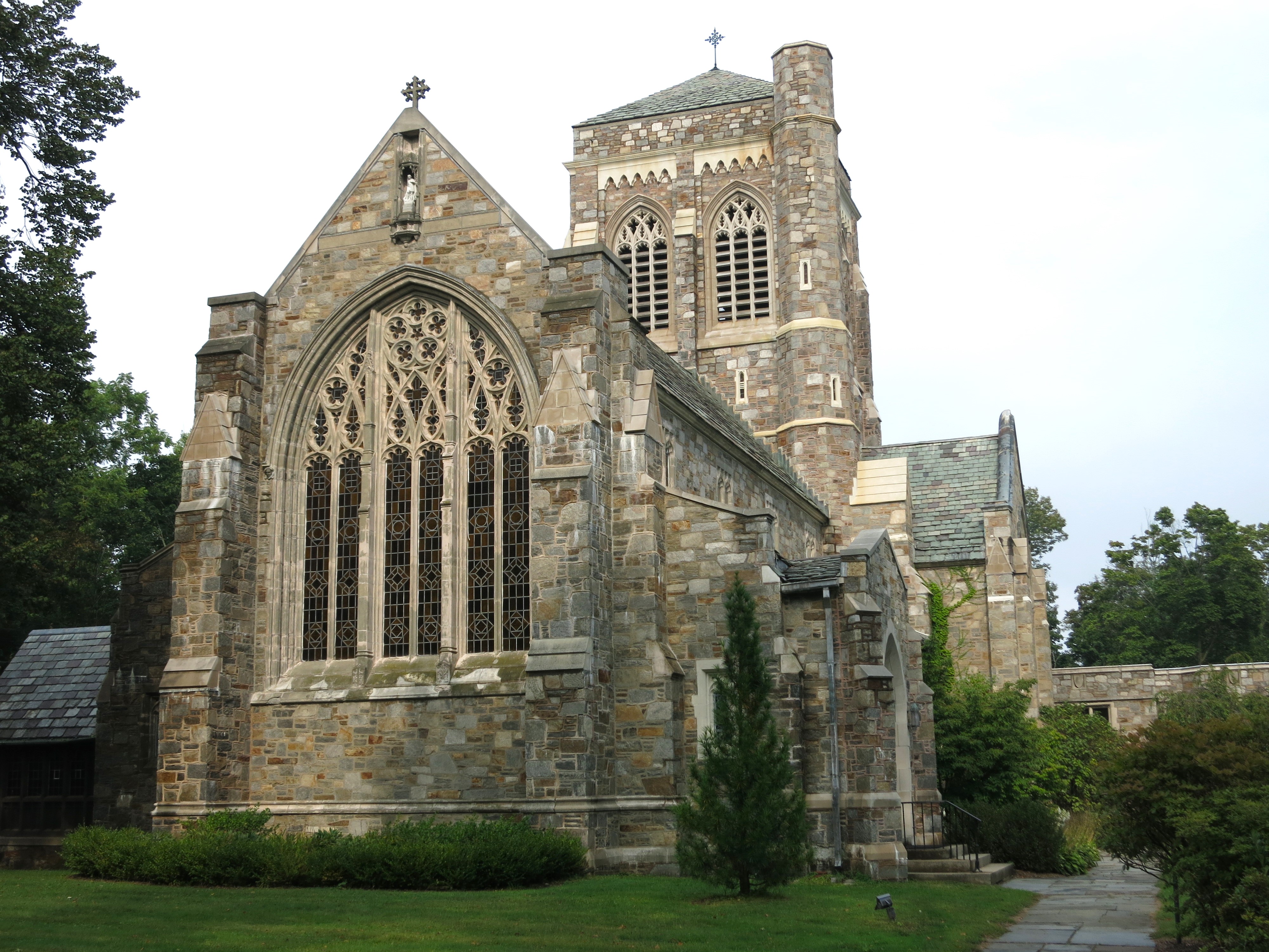
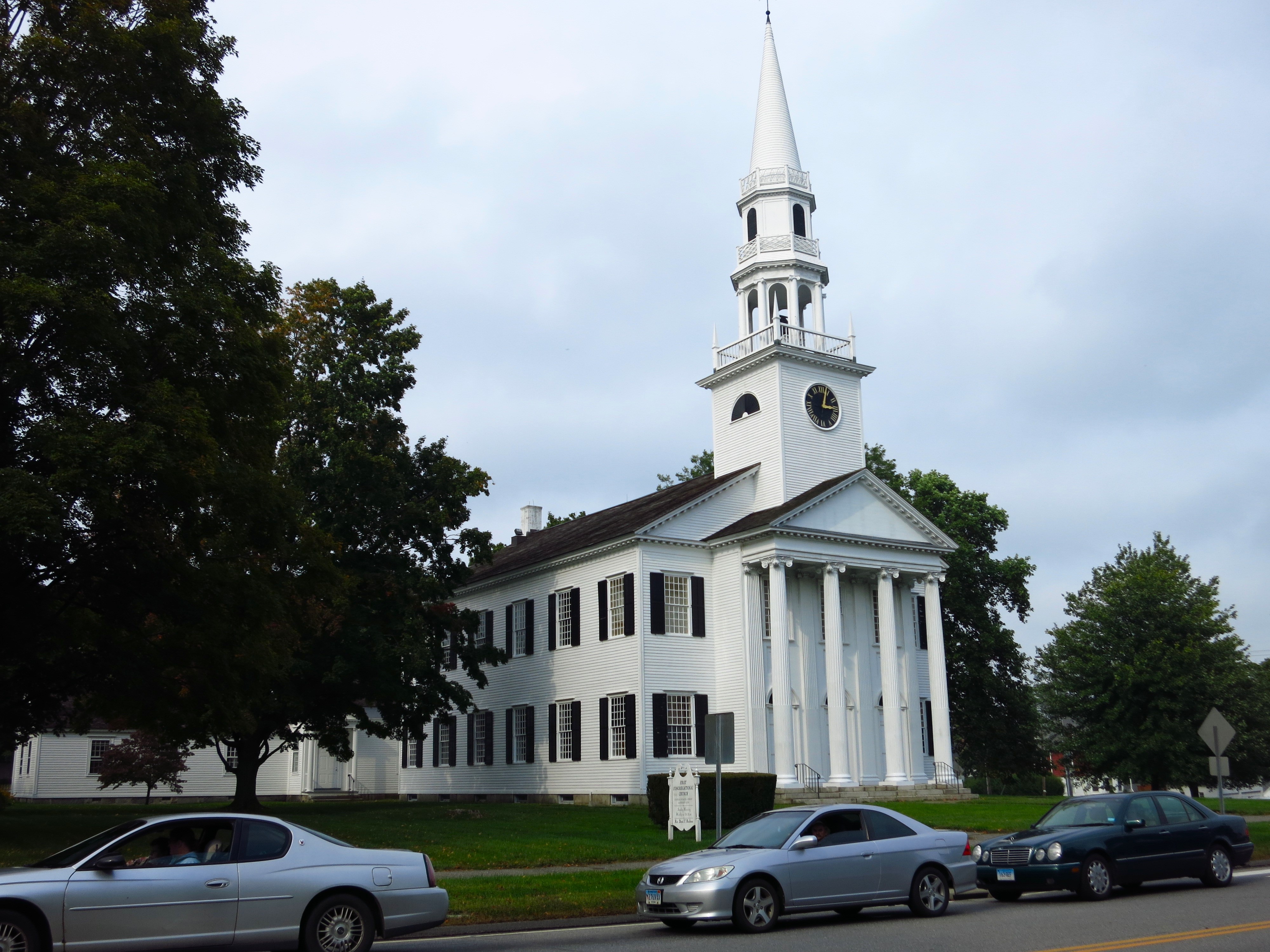
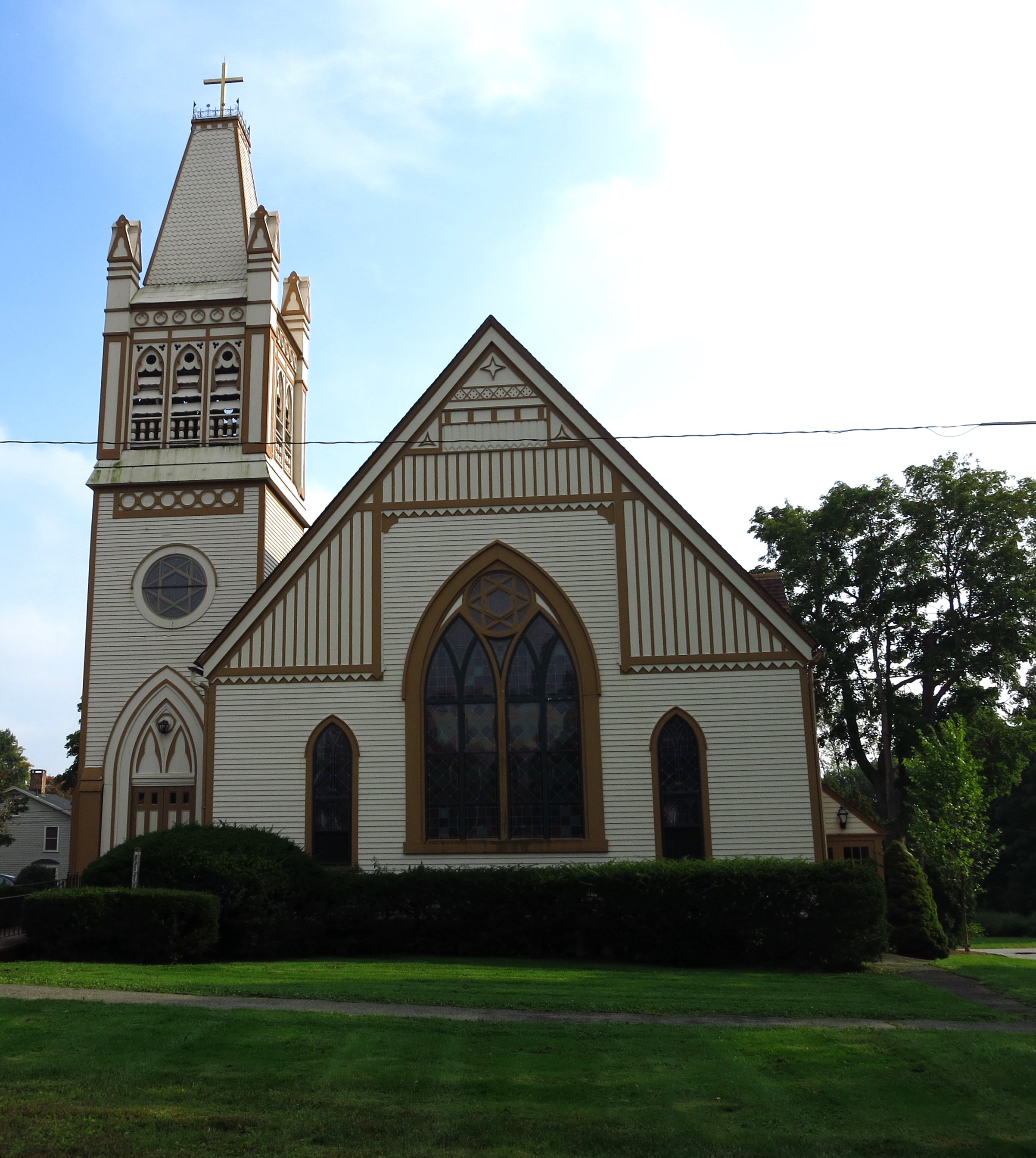
Below are scenes along Main Street and the First Baptist Church of Marshall.


After walking by the courthouse again, I noticed that the clock on the cupola doesn’t keep time. I also noticed that the courthouse has a balcony off the second floor, appropriate for speeches to an assembled town crowd.

A fallen sign marks the old Buncombe Turnpike, which once connected Charleston, South Carolina, to western North Carolina, Tennessee, Kentucky, and the lower Mississippi River Valley. Also called the Old Buncombe Road, the pathway was begun in the 1820s as a wagon road. Traffic on the route was replaced by railroads in the 1880s.

Click here for a list of all TimManBlog American County Seats Series posts.
The photos in this post were taken on May 19, 2008, and are copyrighted by Tim Seibel.
Donations to TimManBlog
I post about a visit to one of America’s 3150 county seats each month. Donations are greatly appreciated to help defray my travel costs.
$1.00
Check out the FREEDOM VOYAGES book series! These books document my road trips across the United States and include hundreds of stunning photographs. Each of the four books in the series is available on Amazon and Barnes & Noble. This includes my most recent release, FREEDOM VOYAGES Volume 4: Christmastime in Texas!
Earlier volumes in the FREEDOM VOYAGES series are also available:
Vol. 1: North-Central North Dakota
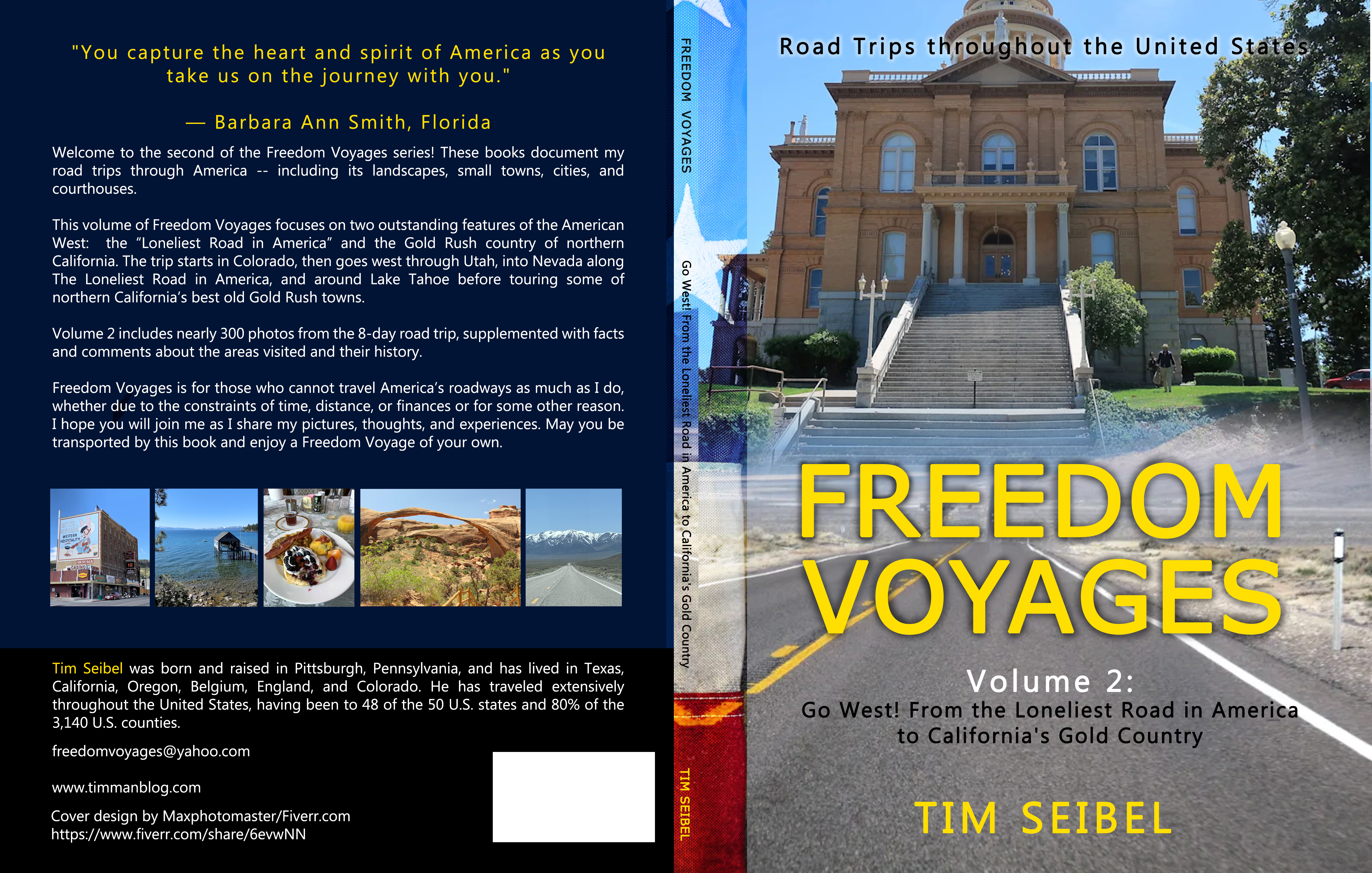
Vol. 2: Go West! From the Loneliest Road in America to California’s Gold Country
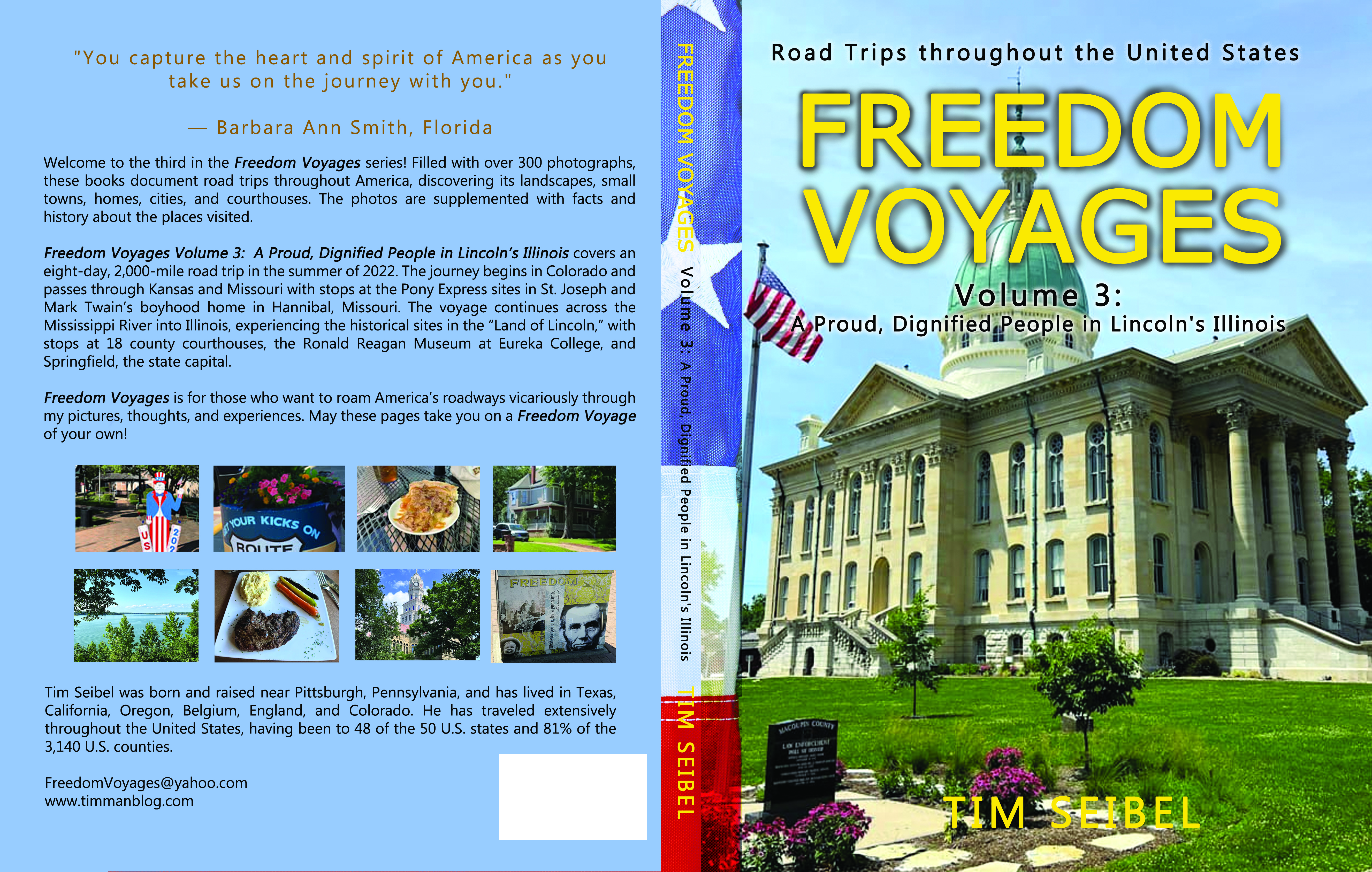
Vol. 3: A Proud, Dignified People in Lincoln’s Illinois
All FREEDOM VOYAGES books are on sale at Amazon.com and Barnes & Noble.