Exploring Baudette: The Coldest Town in Minnesota
July 31, 2024
(photos and memories from July 2023)
(If you like my posts, you can support this site with a donation via Paypal, Visa, Amex, Mastercard, or Discover by using the form at the bottom of this post. Thank you.)
It’s a natural tendency among people to want to be the best at something. It usually doesn’t matter very much what that “something” is, whether it is virtuous or not, significant or not, astounding or not. People just want to have something to be proud of.
In the case of Baudette, Minnesota (population 966), that something is the notoriety of being the coldest town among the lower 48 states of the U.S.
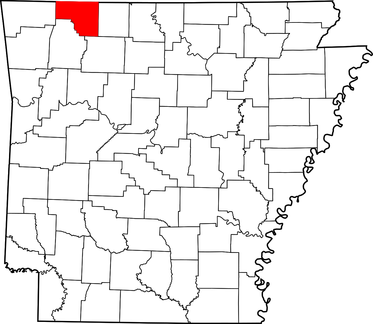
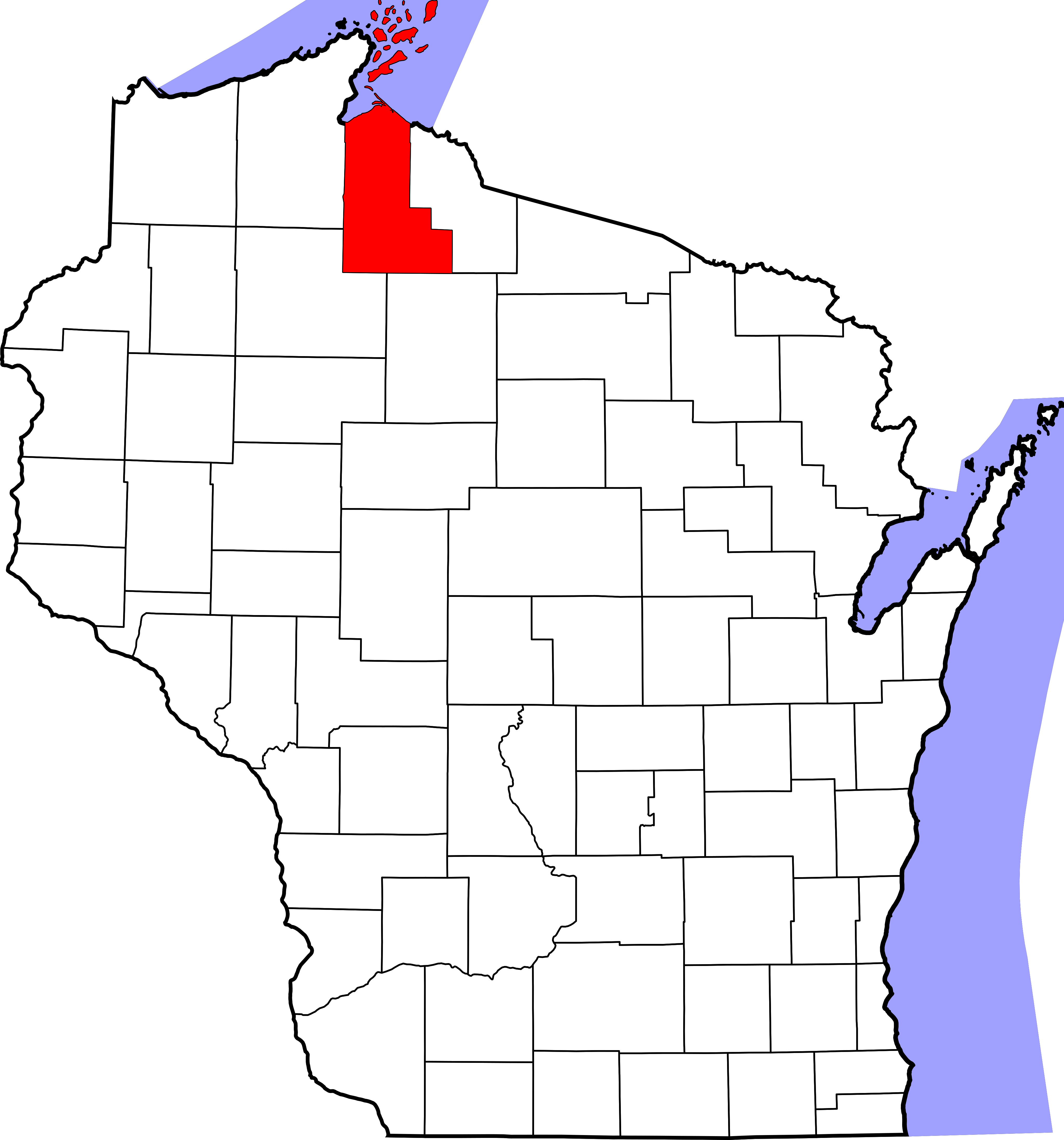
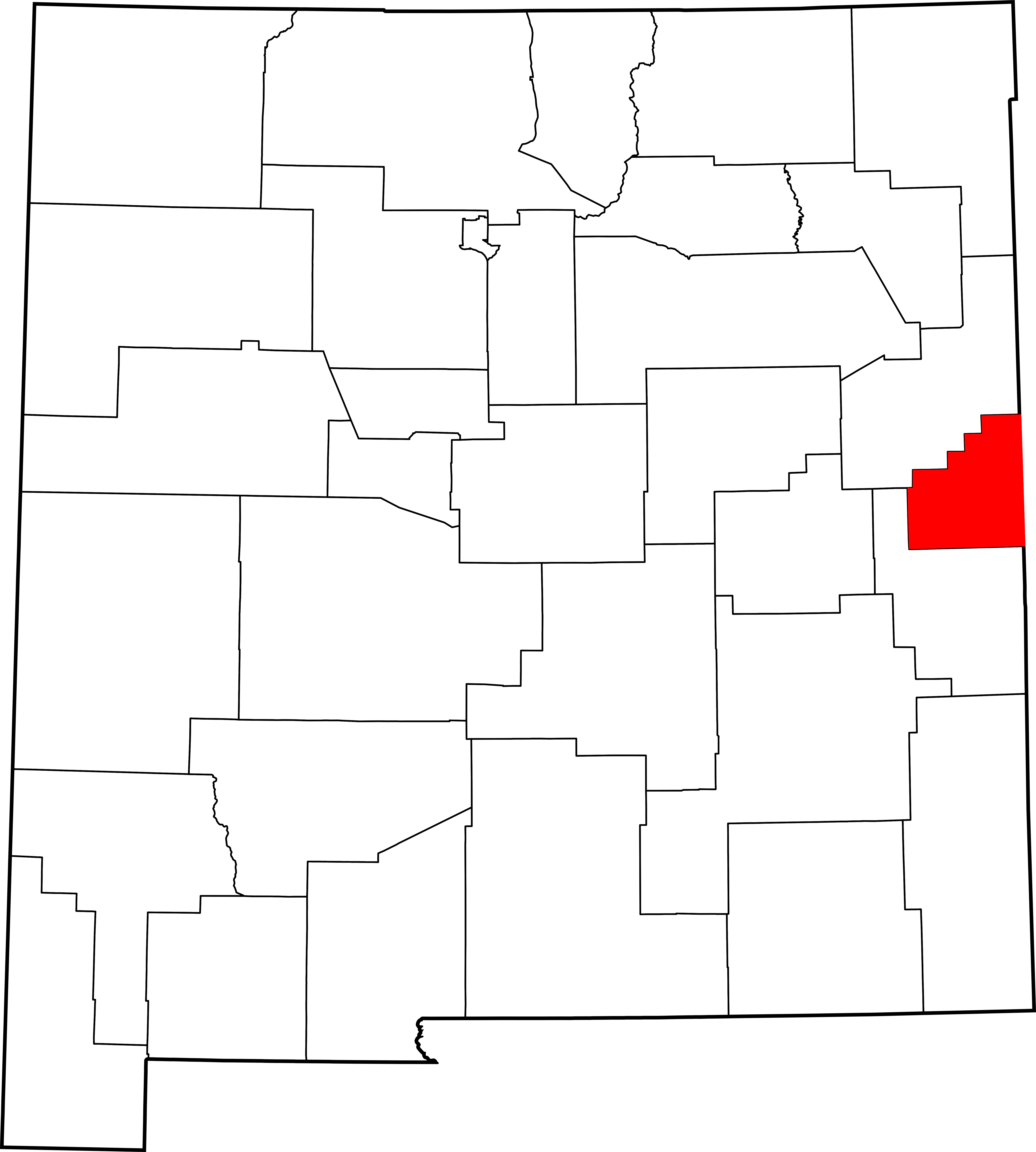
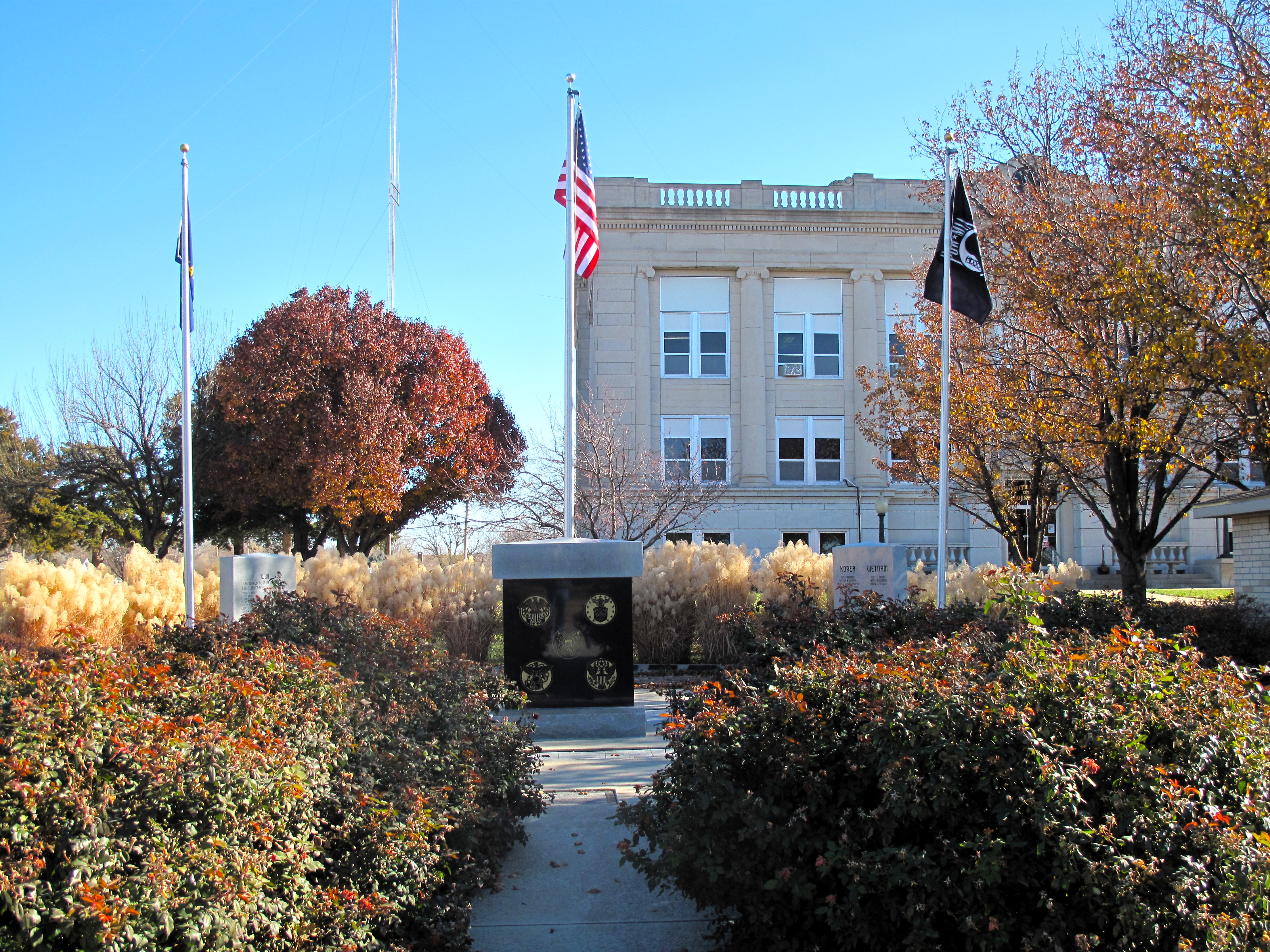
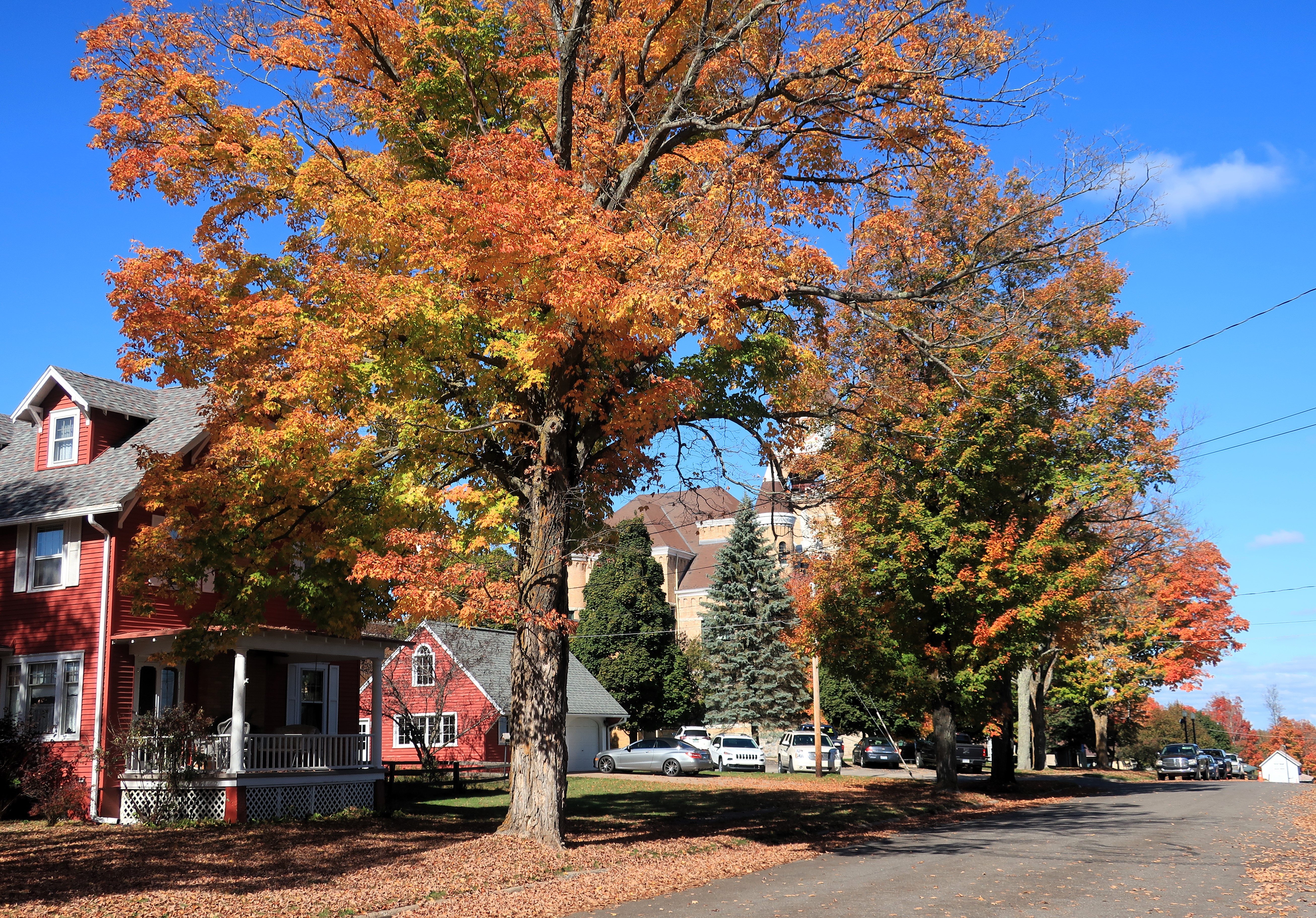
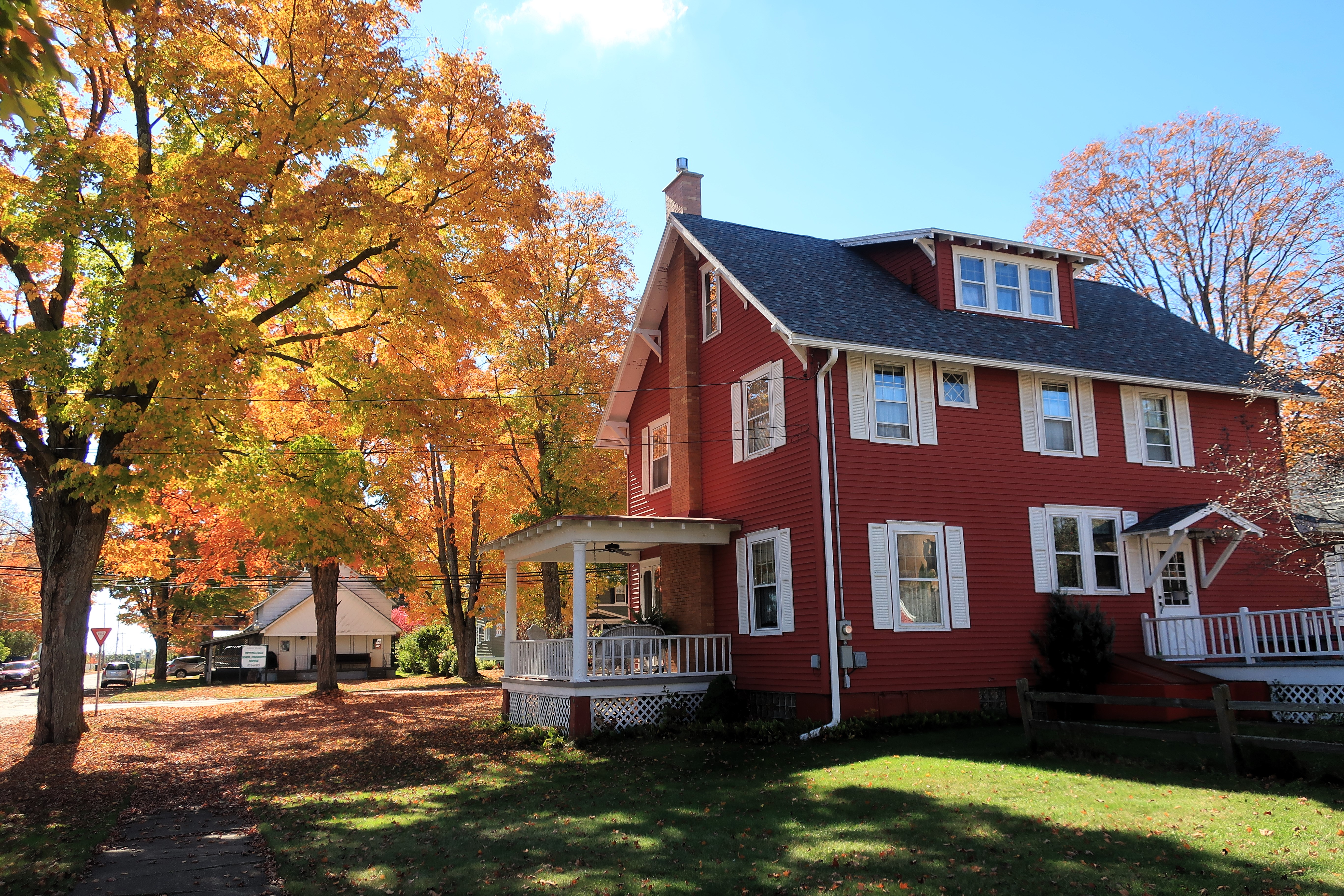
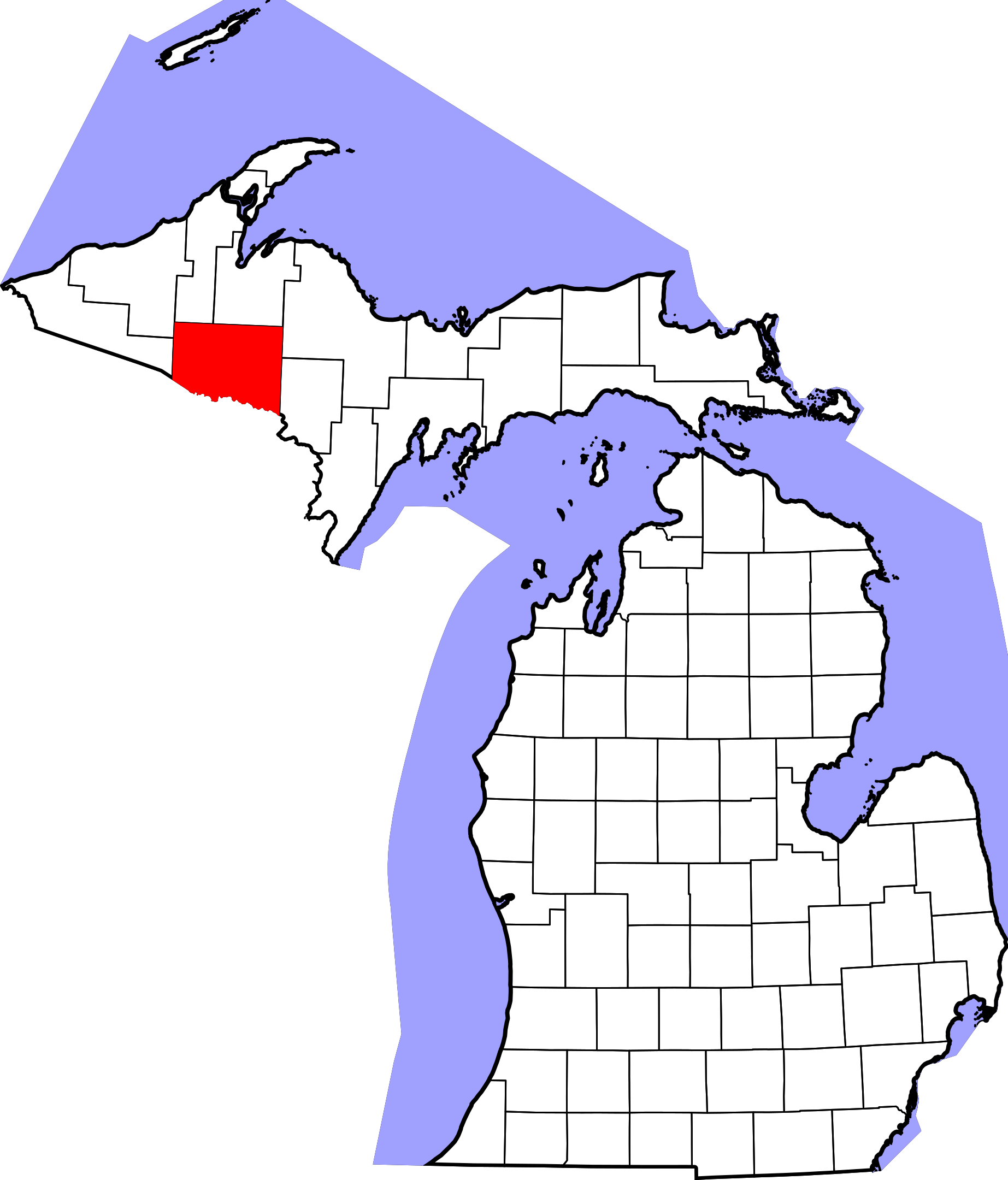
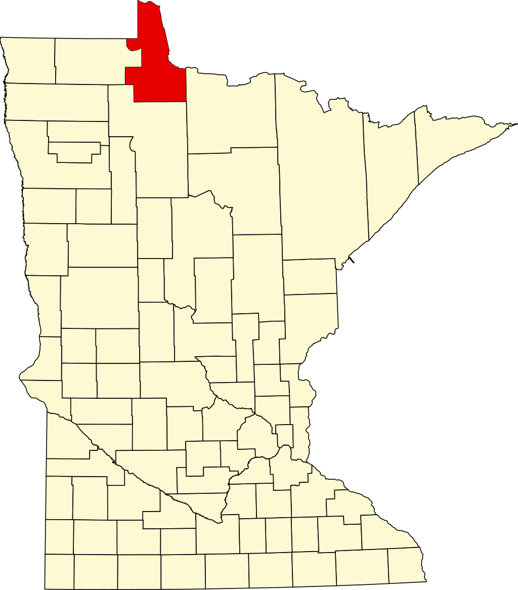
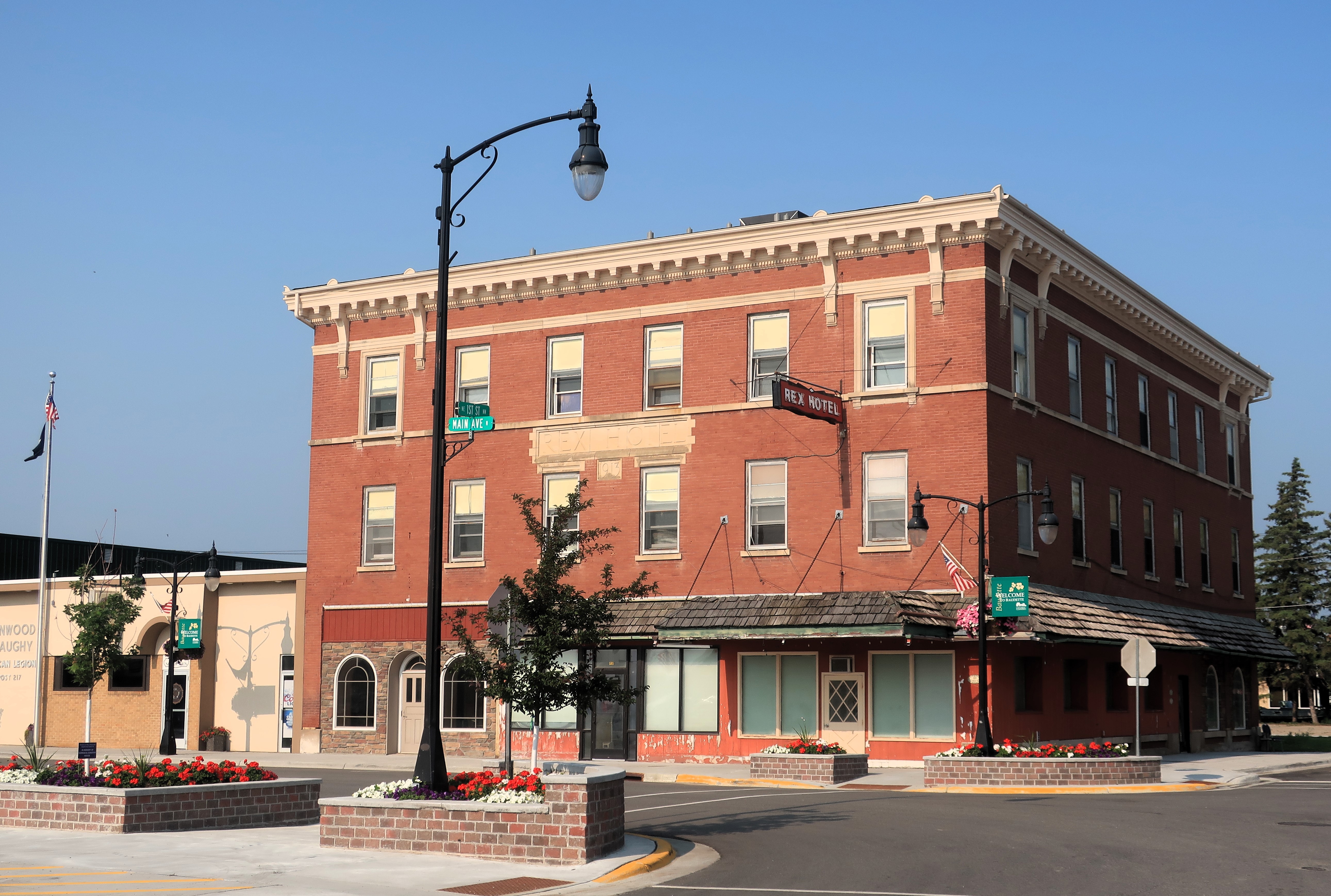
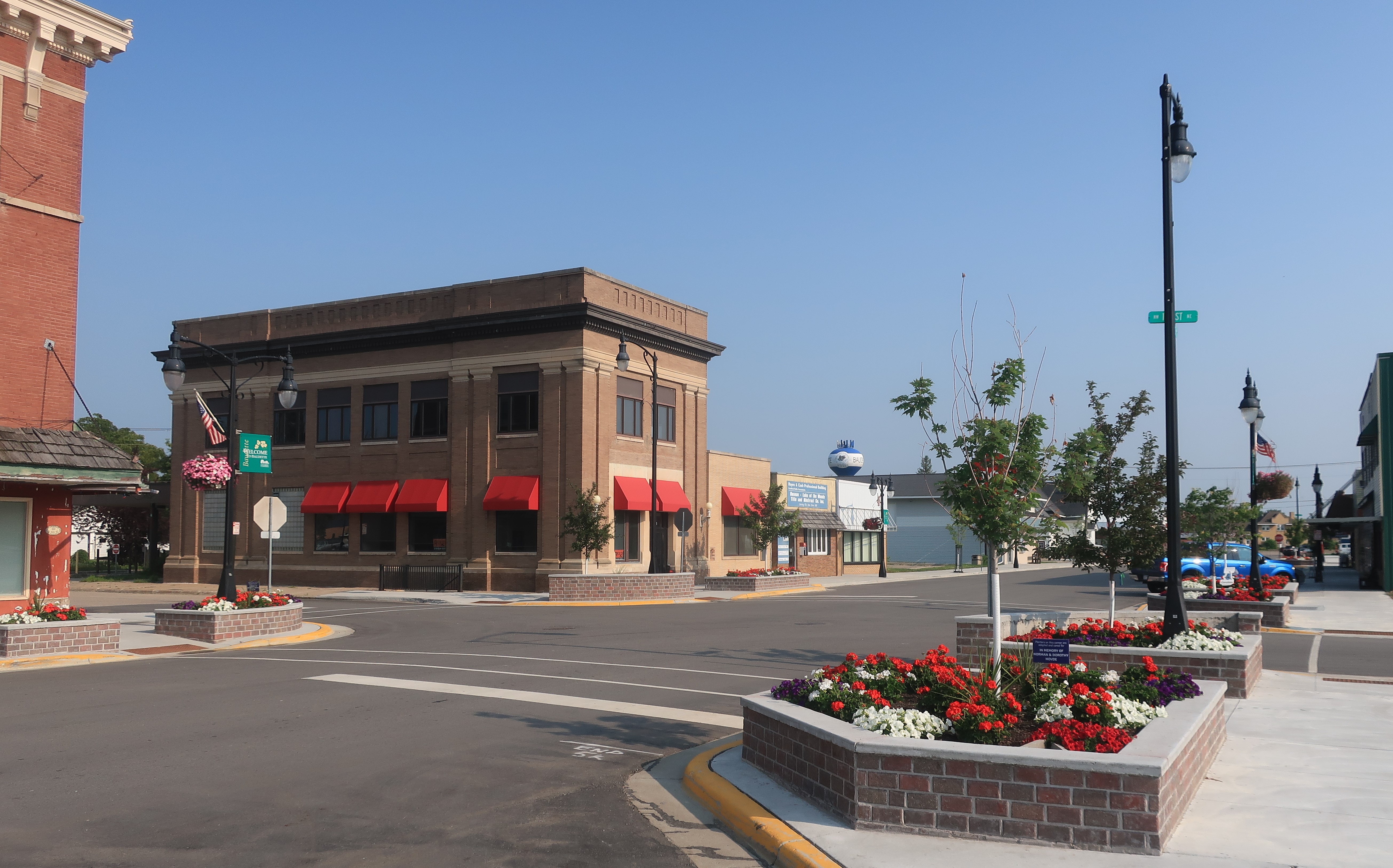
Baudette is the county seat of Lake of the Woods County in north central Minnesota. Its northern border (including the “Northwest Angle,” the notch of land that sticks up above the 49th parallel) is contiguous with the southern border of Canada. To the east of Baudette is the larger and more famous town of International Falls, Minnesota. Baudette and International Falls are rivals for the distinction of being the coldest town in the lower 48. According to popular reputation alone, International Falls is the victor in the contest, but Baudette has arguments in its favor.
In the contest as to which town is the coldest, Baudette can boast that it is home to Automotive Enviro Testing, a cold-weather testing facility used by prominent automakers including Honda, Tesla, and others. Thus, Baudette’s claim is more than just reputation, it is backed up industrial choice.
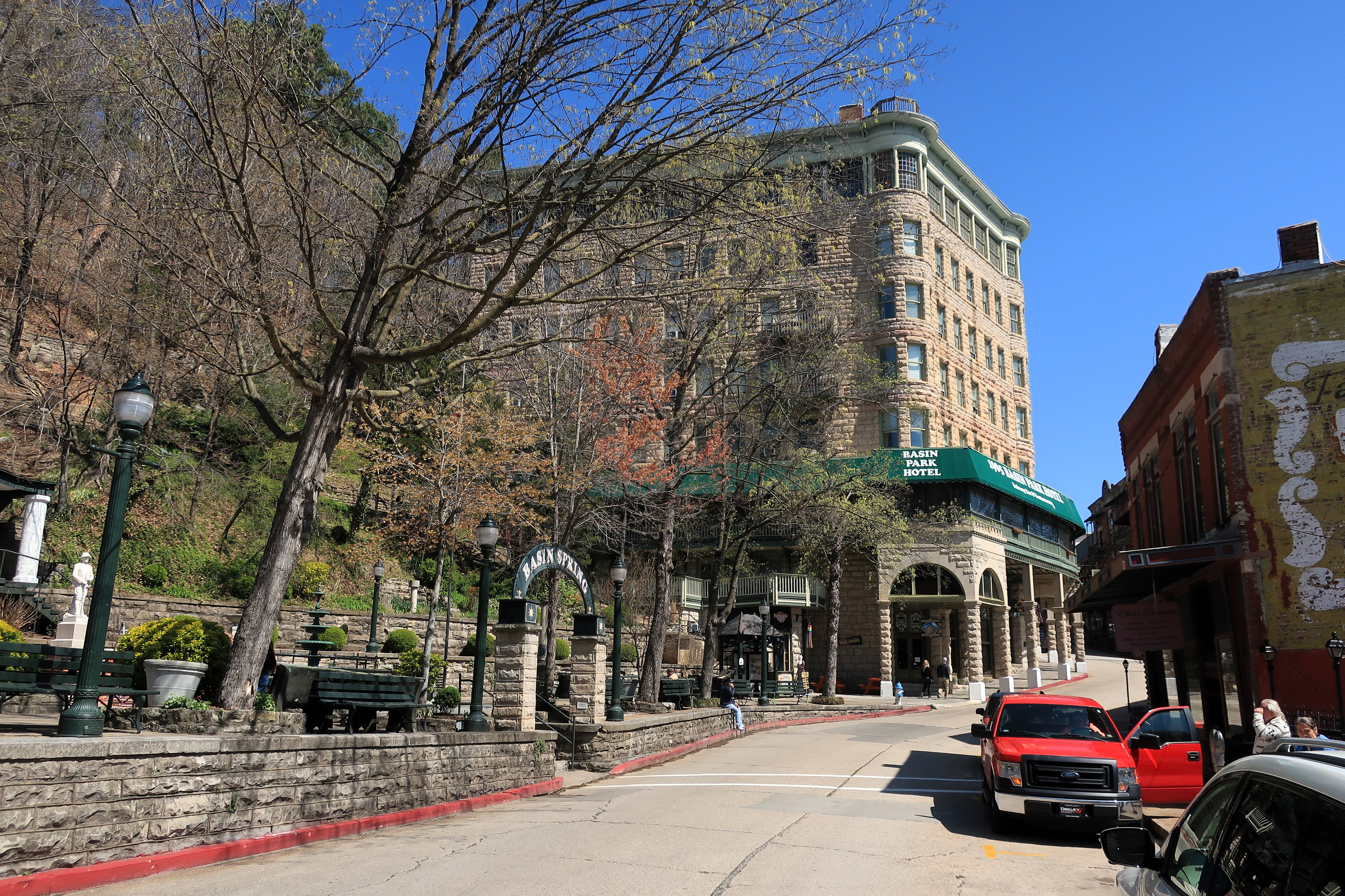
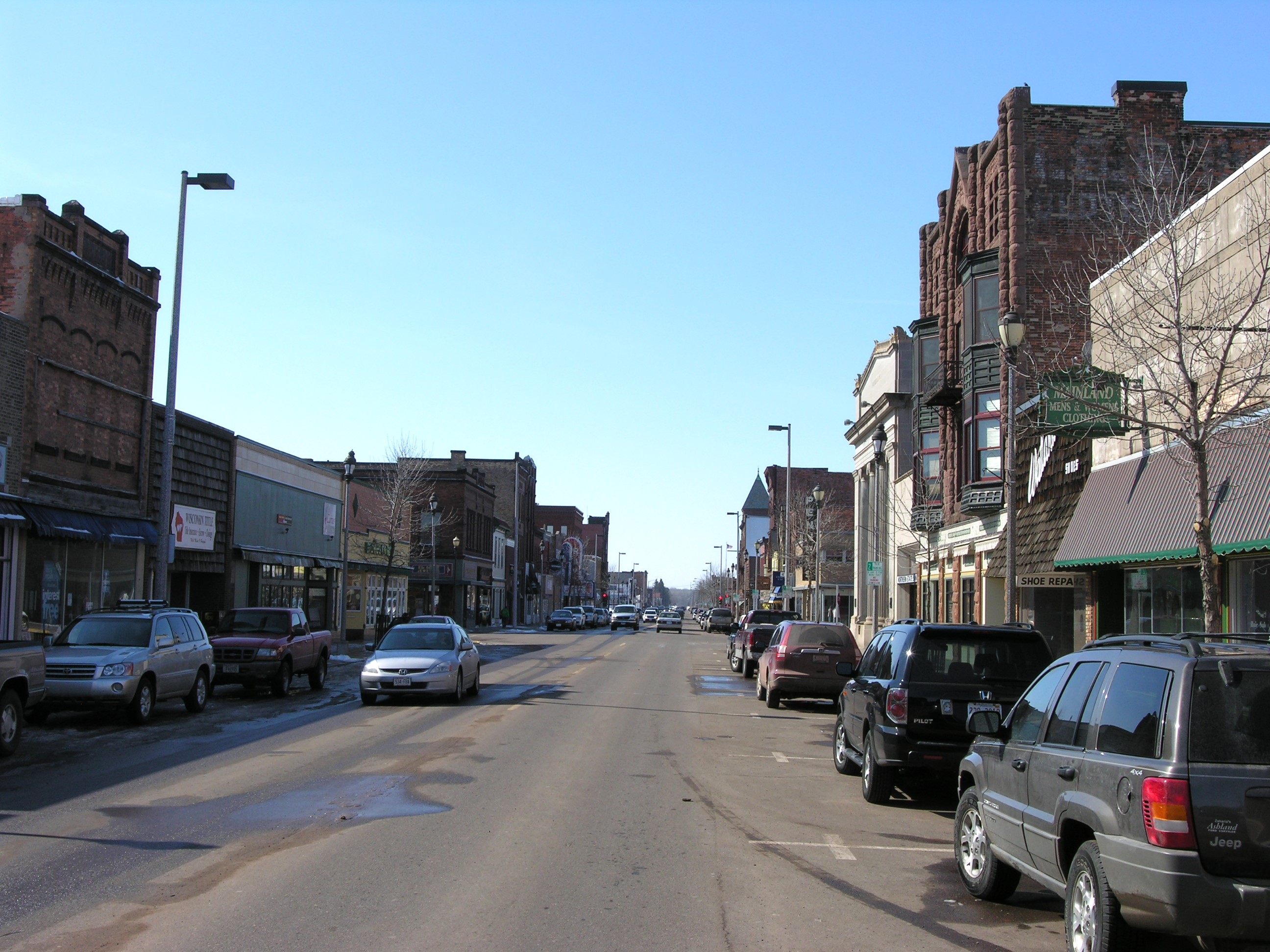
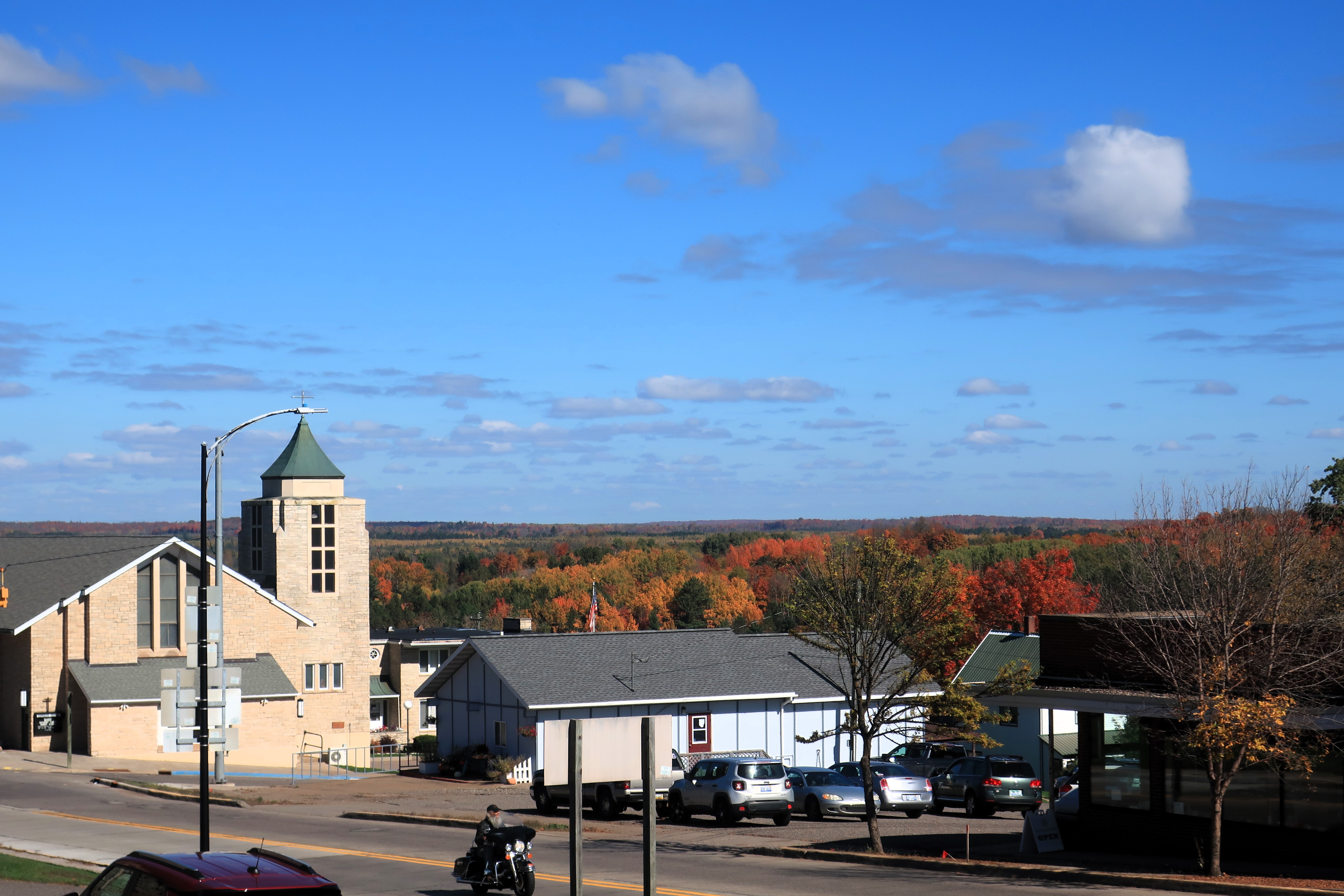
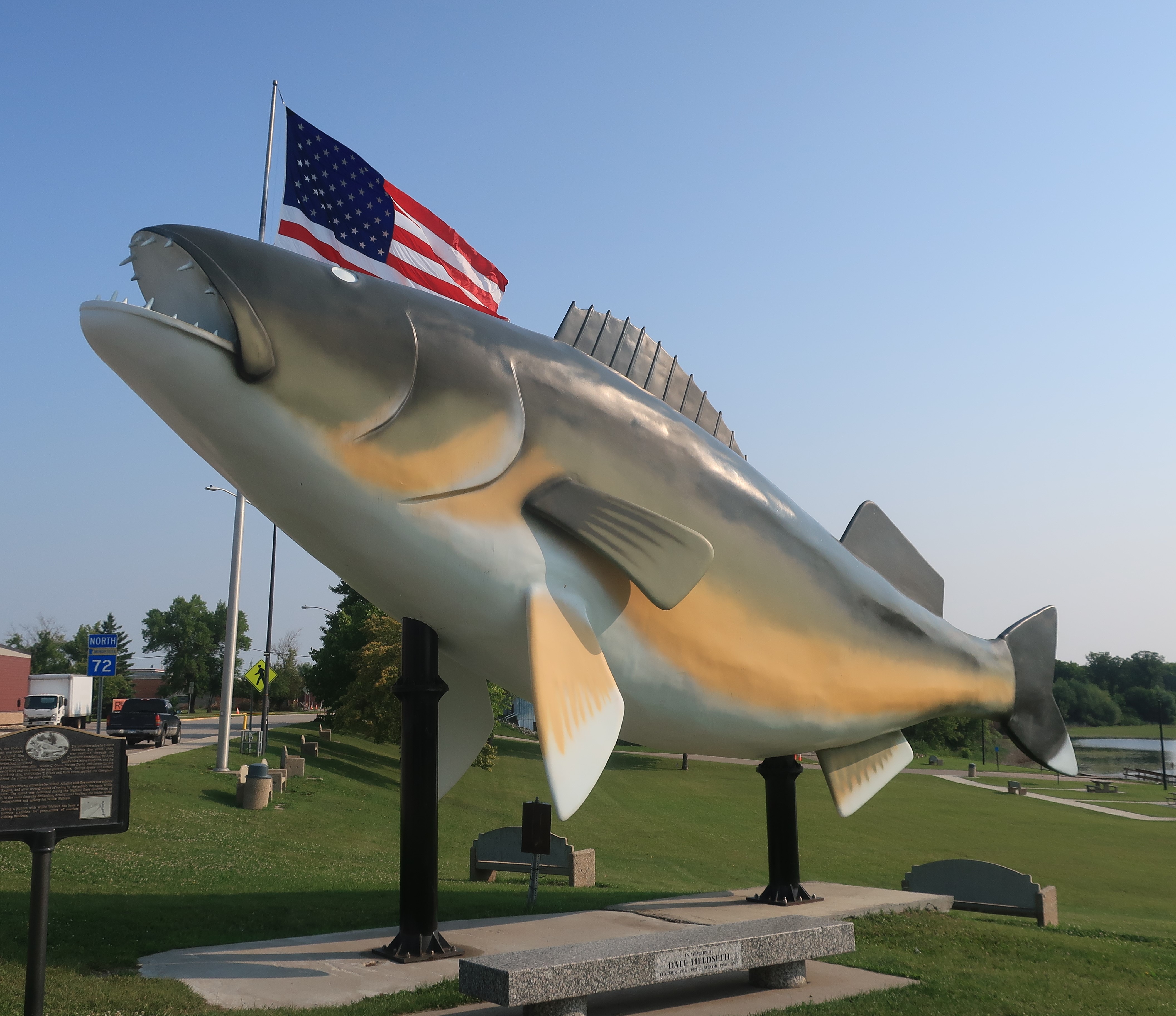
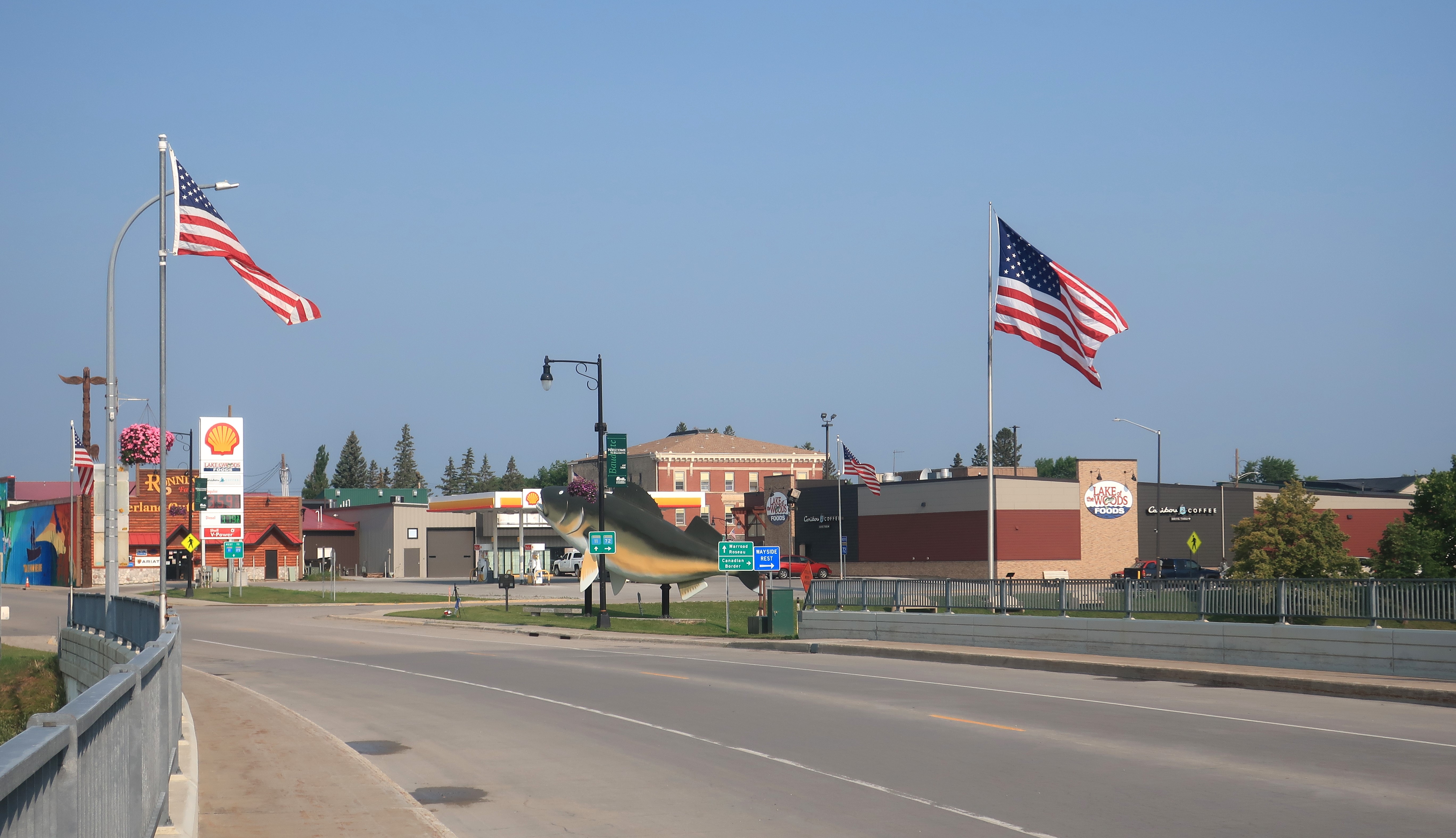
I am not a cold-weather person, so I came to Baudette in the month of “high summer” — July. Baudette was warm and welcoming with many visitors plying the waters for walleye since Baudette claims to be the Walleye Capital of the World.
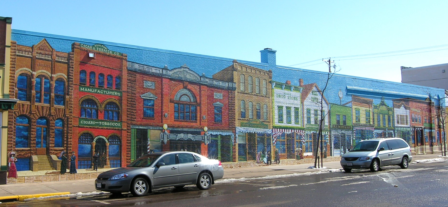
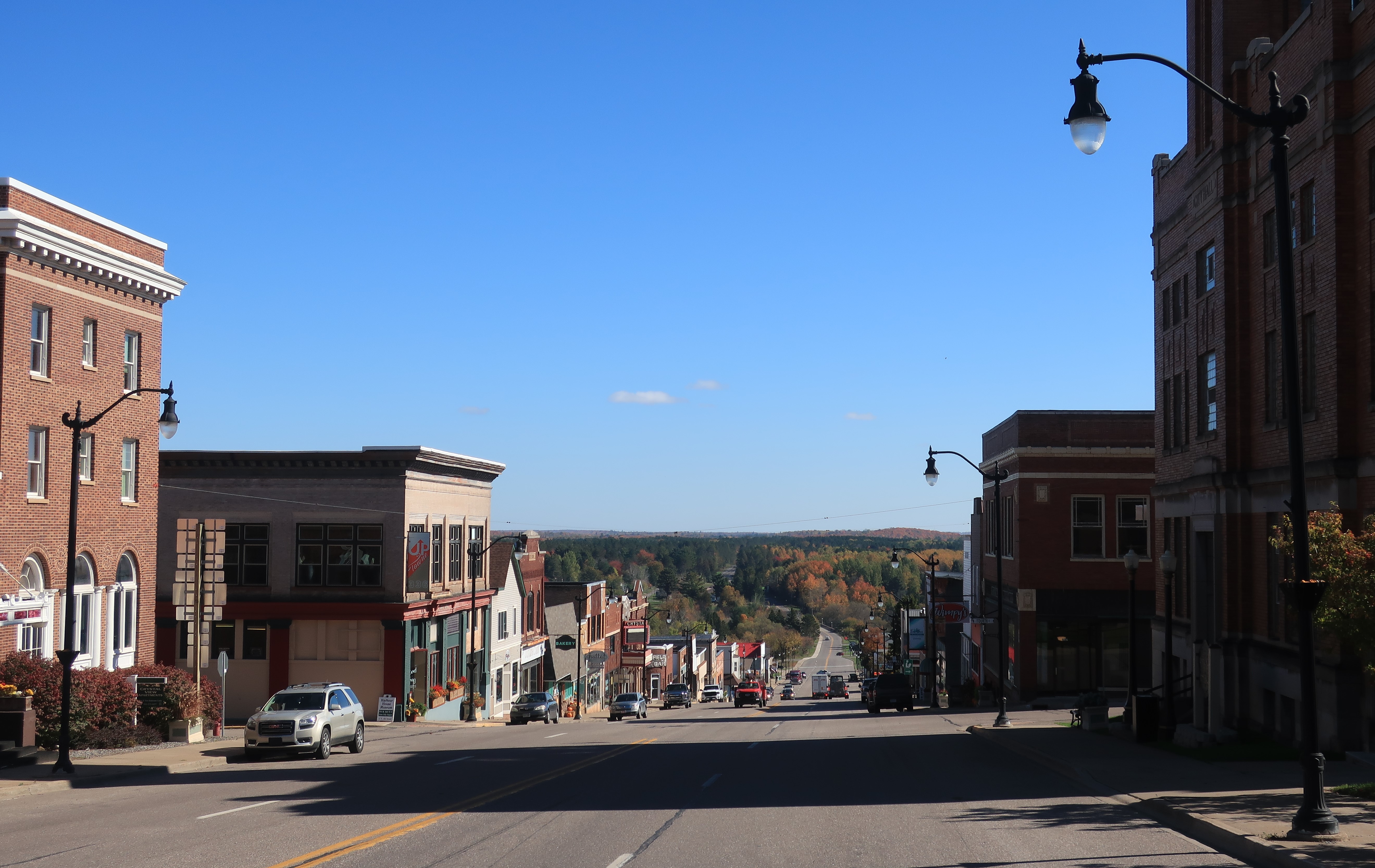
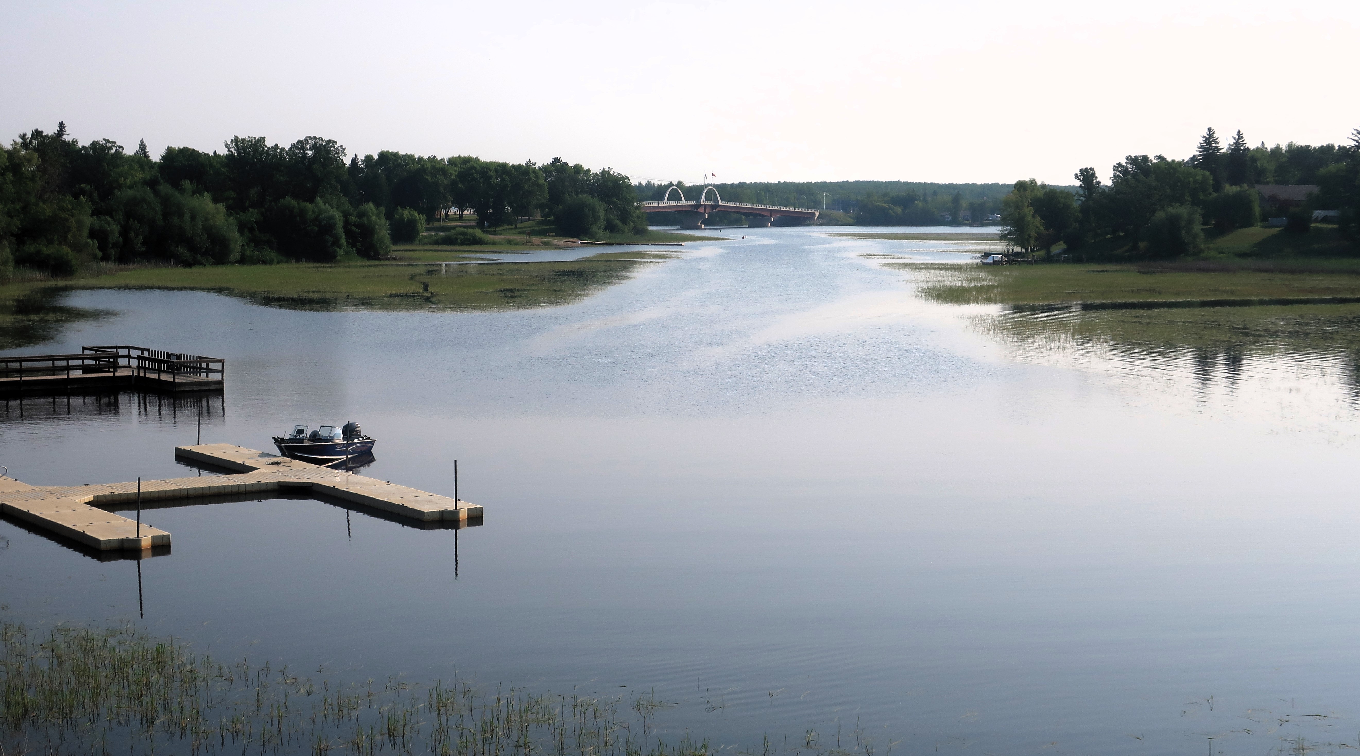
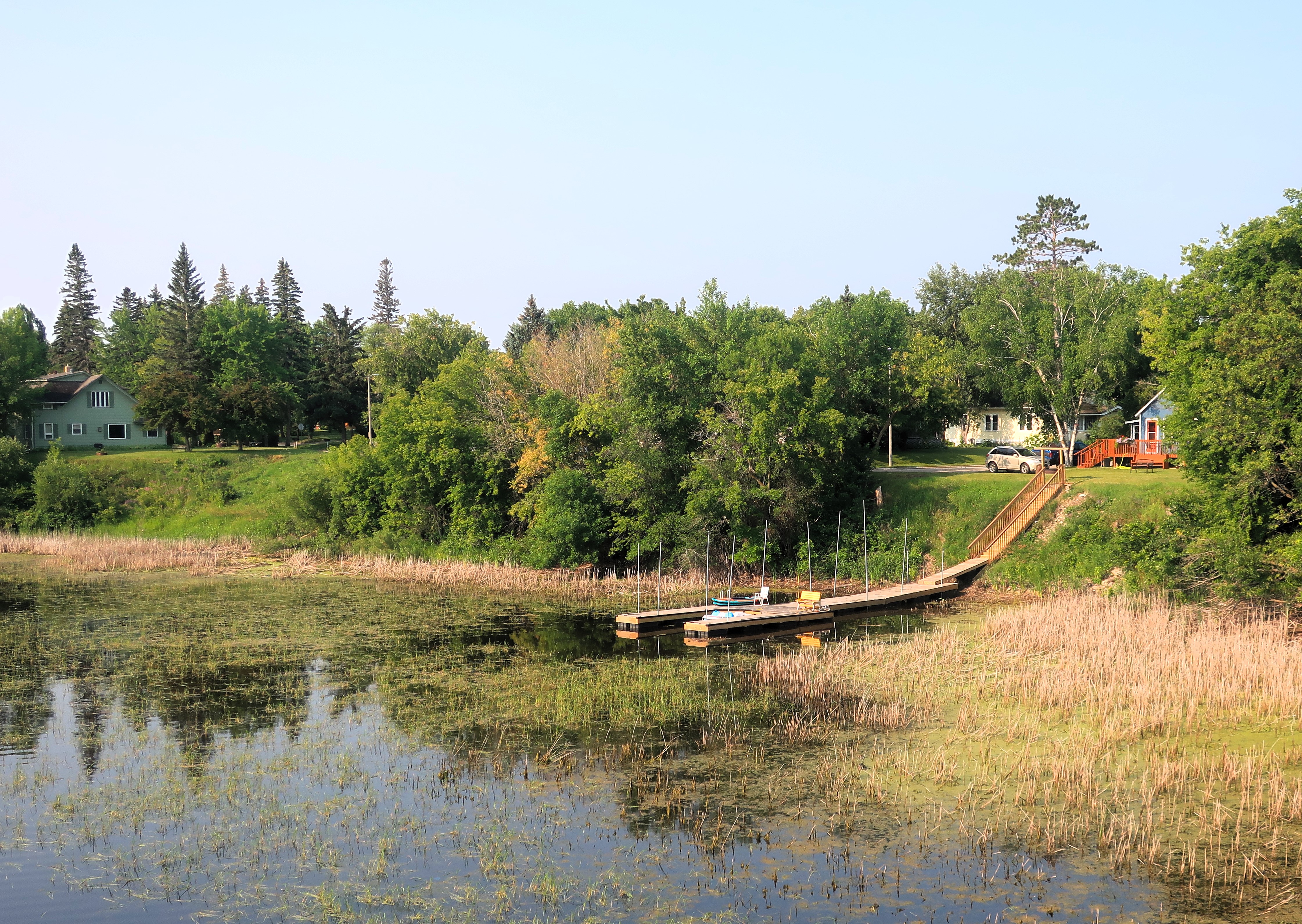
Baudette is a fairly young town. It was founded in 1907 at the point where the Baudette River flows into the Rainy River. The Rainy River captures the outflow from the Lake of the Woods and serves as the boundary between Minnesota and Ontario, Canada. The town of Rainy River, Ontario, lies across the international bridge from Baudette. The bridge can be seen in the background of the photos below.
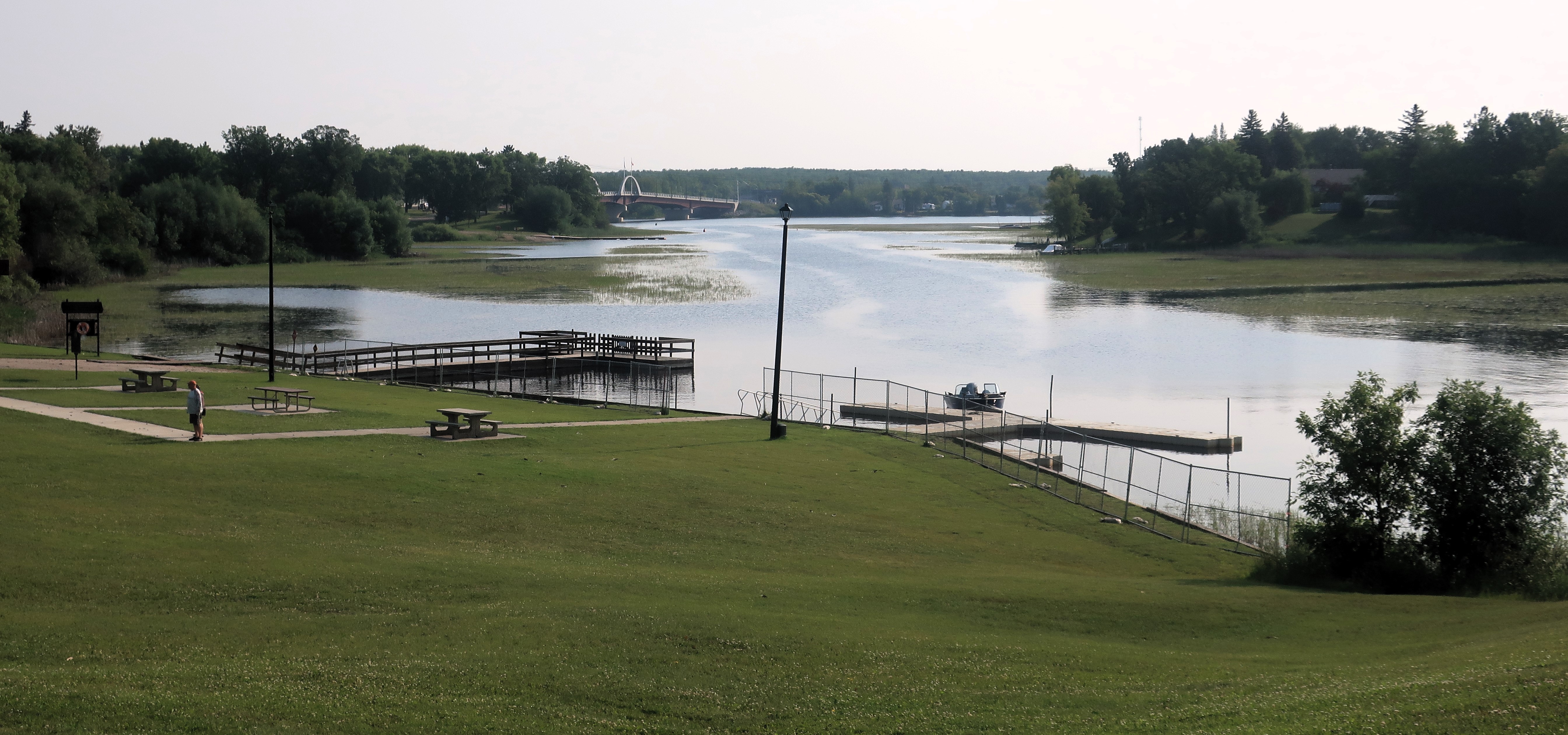
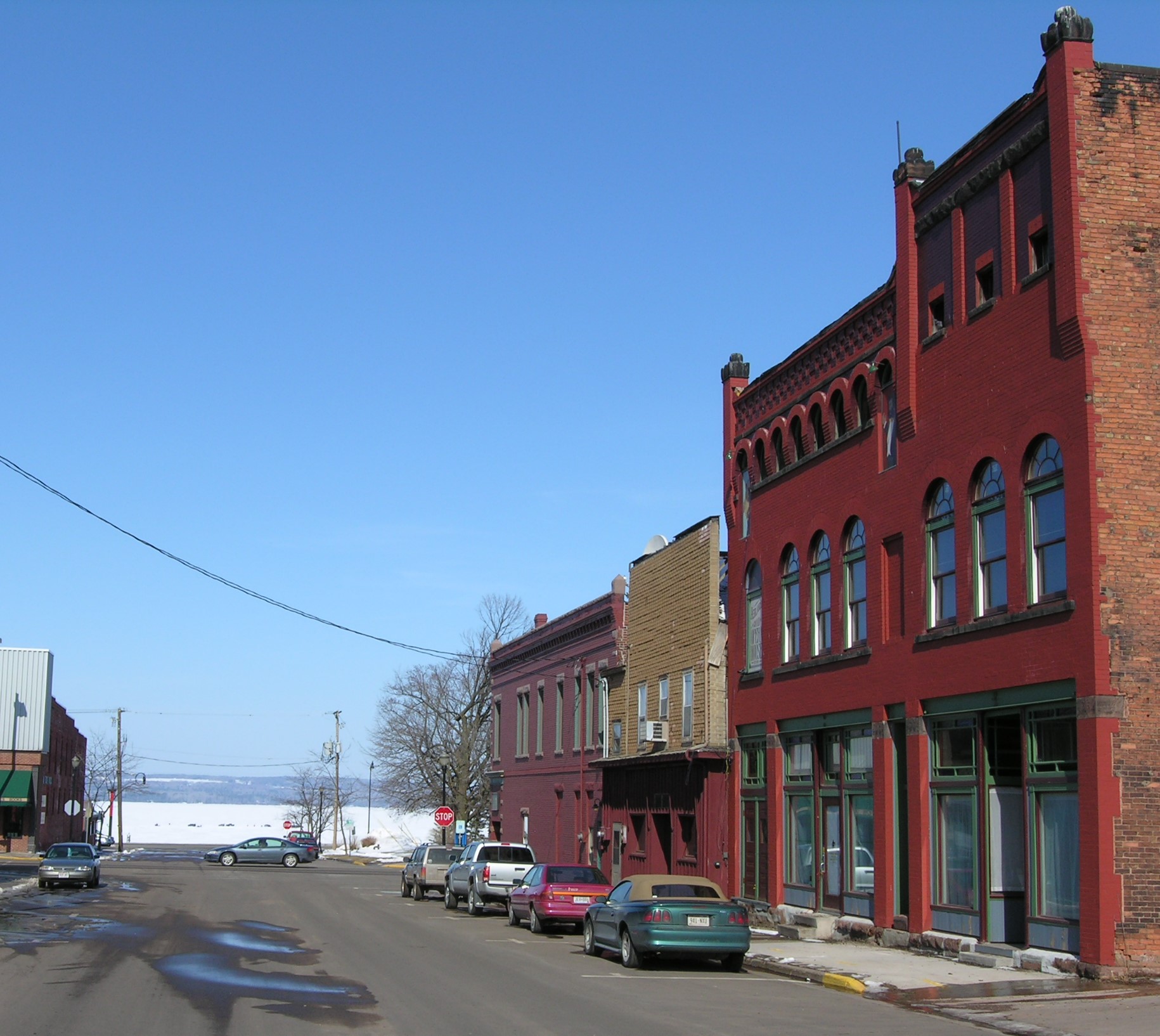
Below: private docks along the Baudette River with the International bridge in the background.


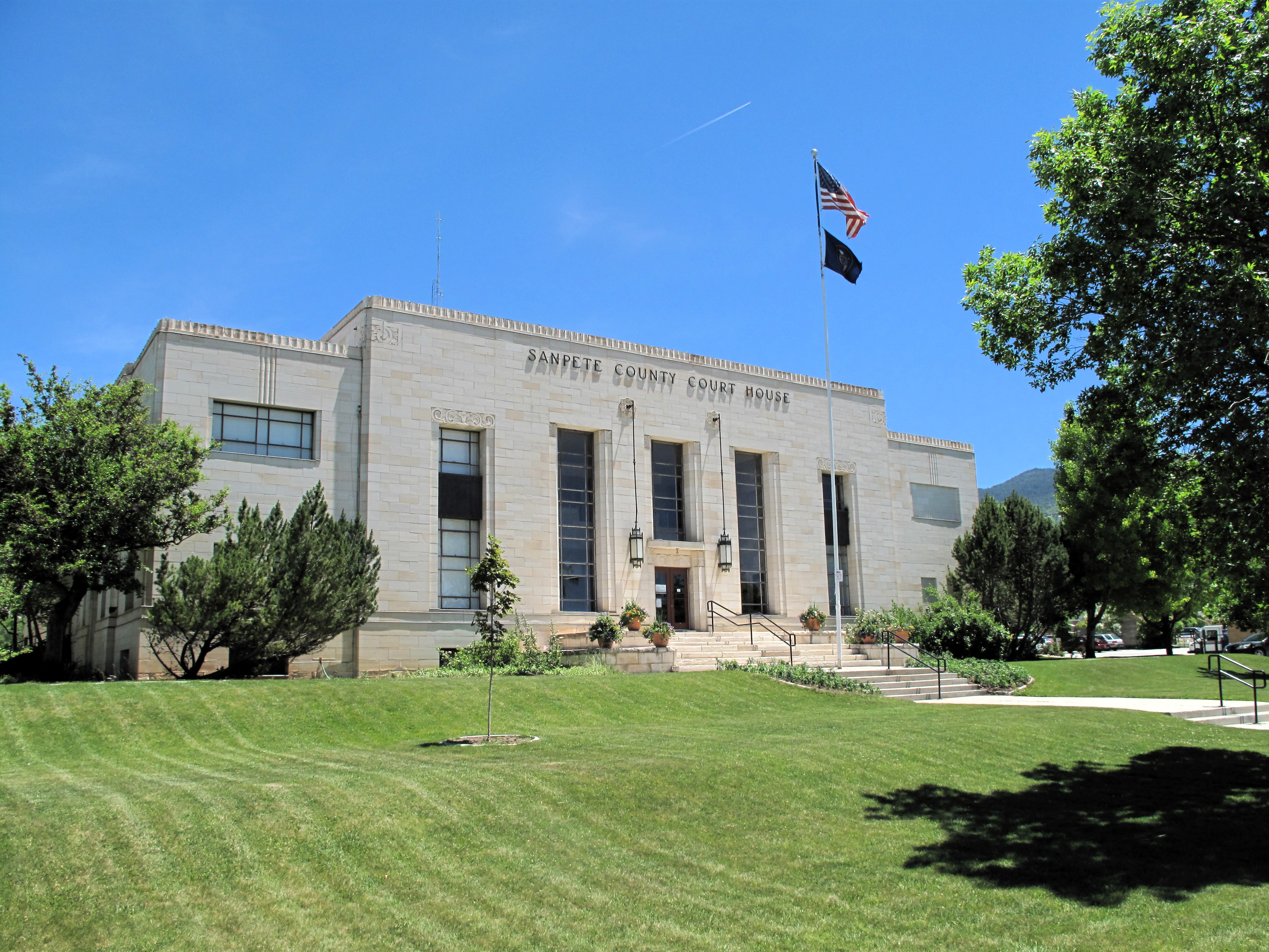
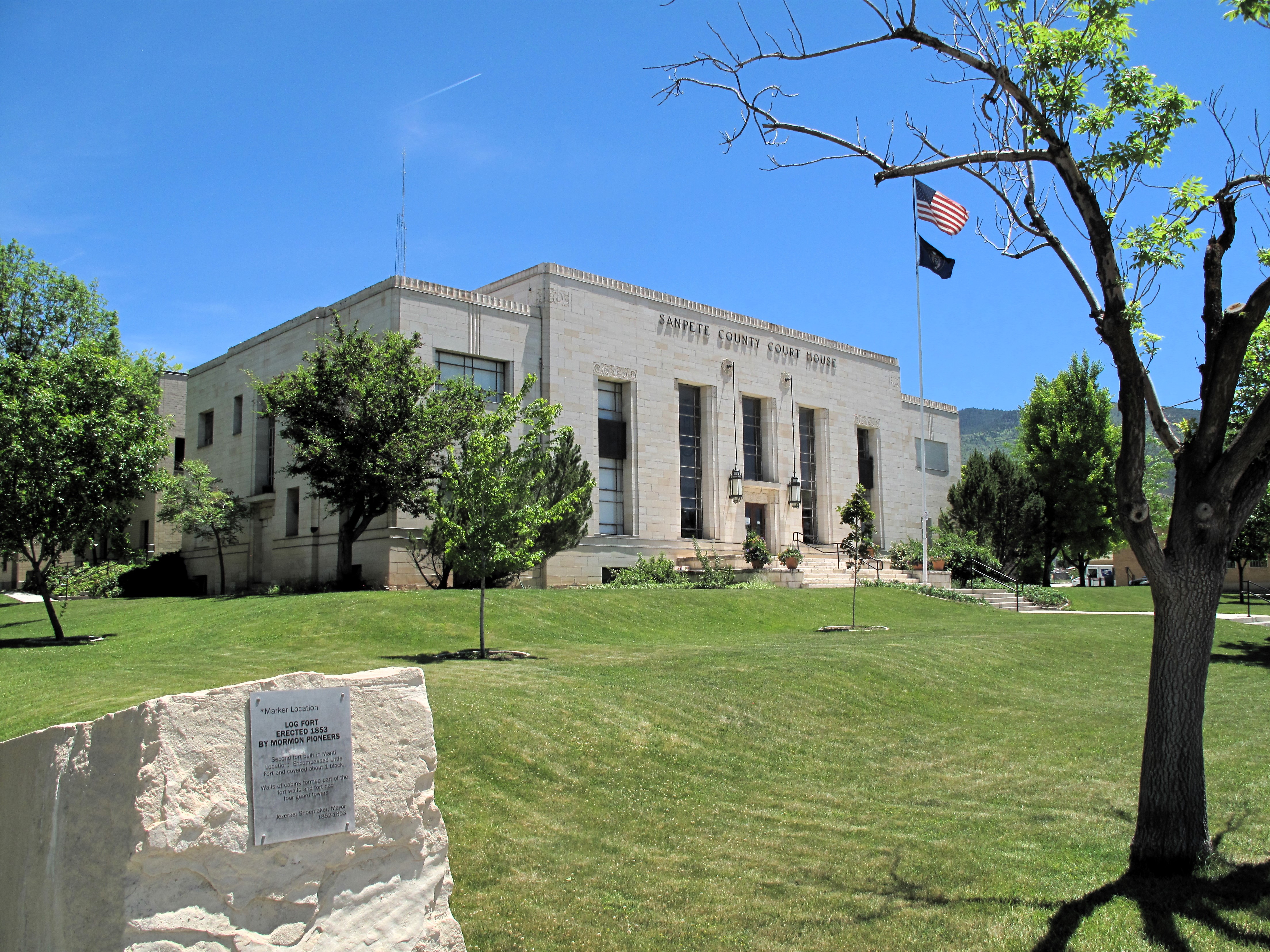
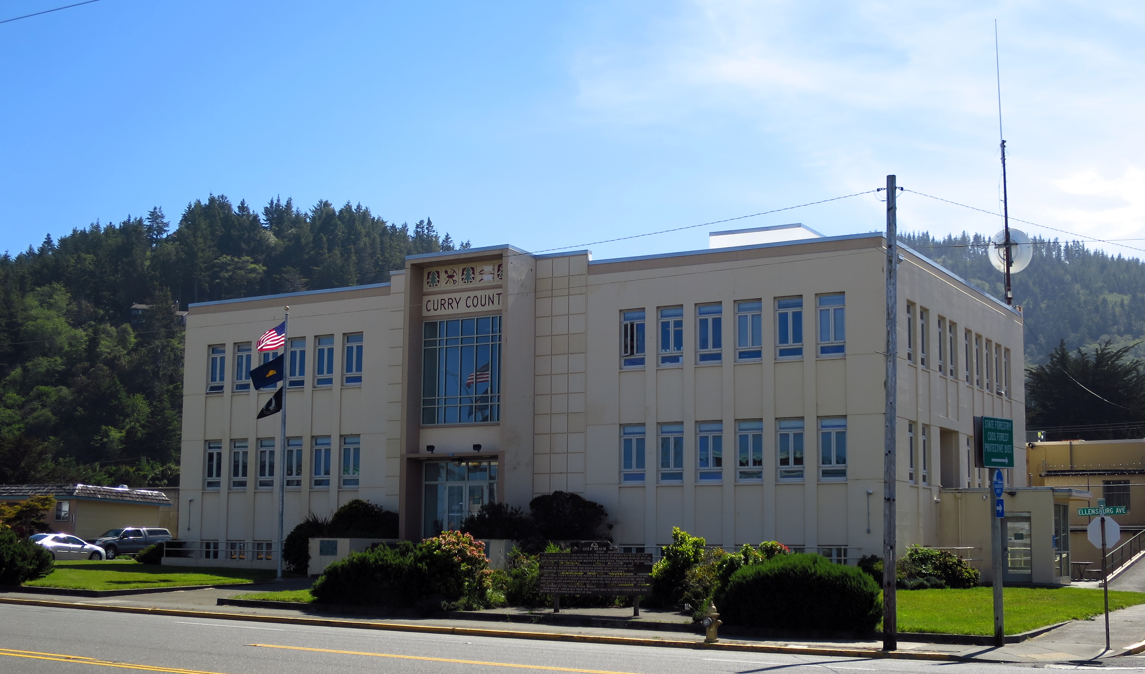
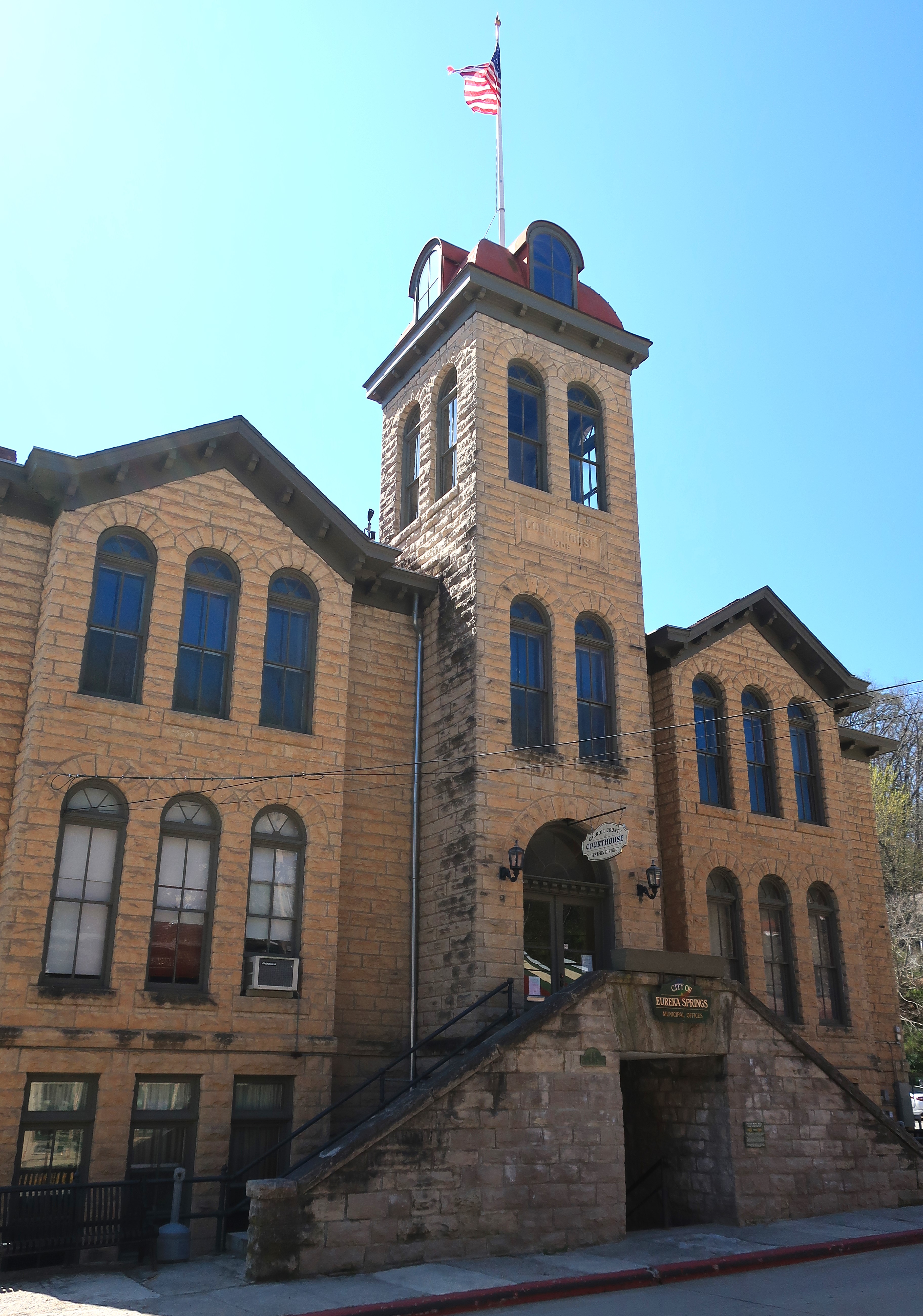
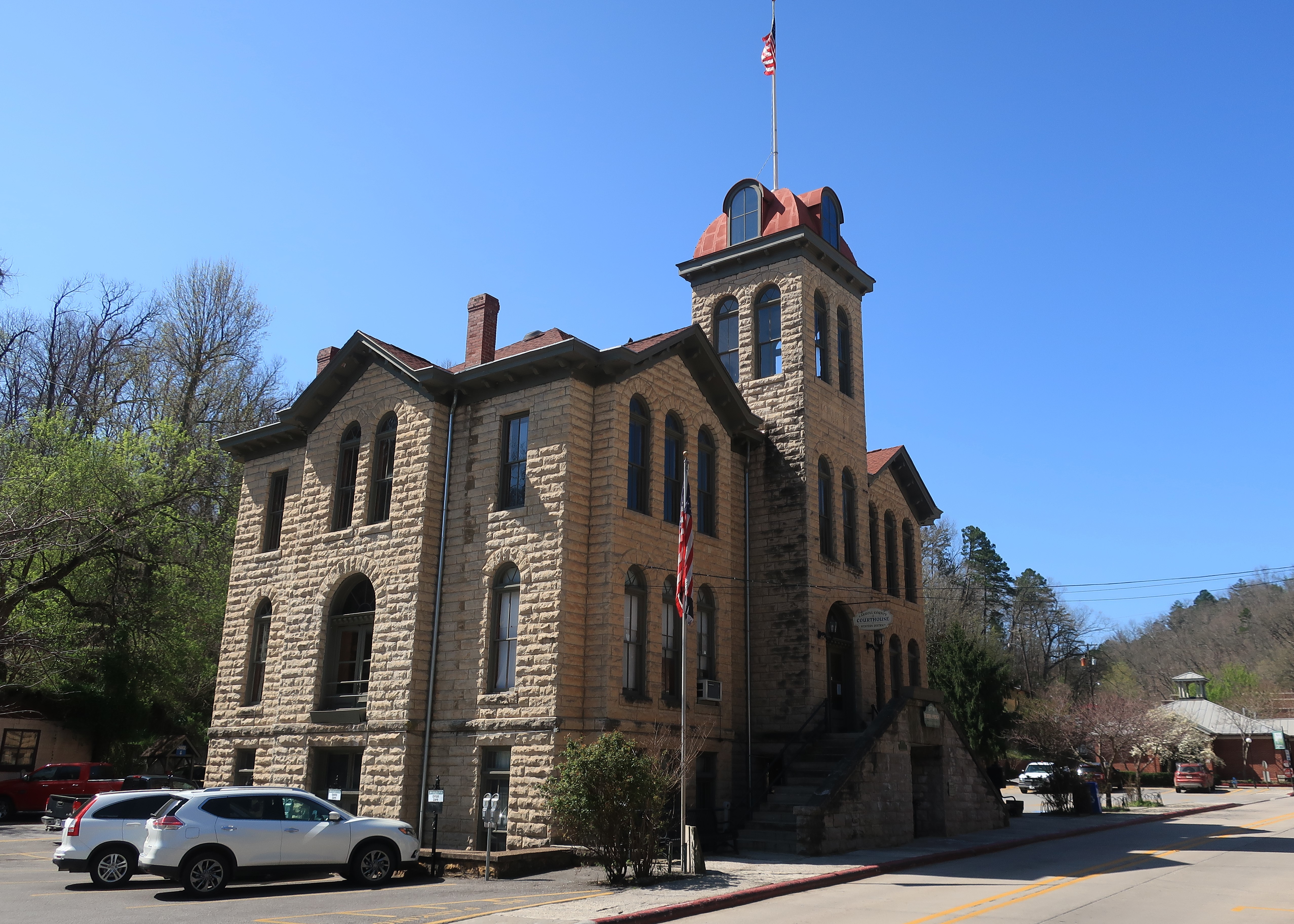
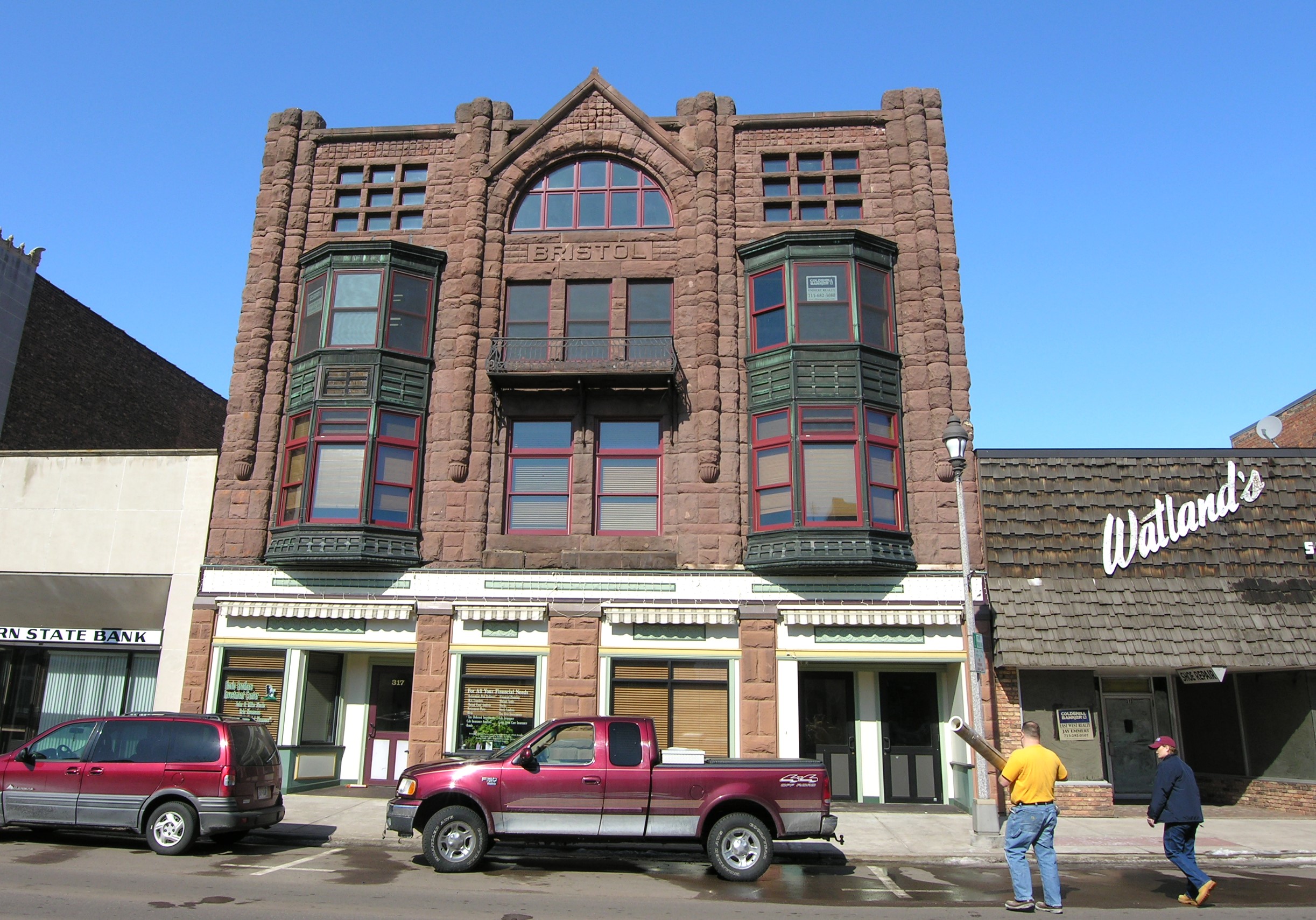
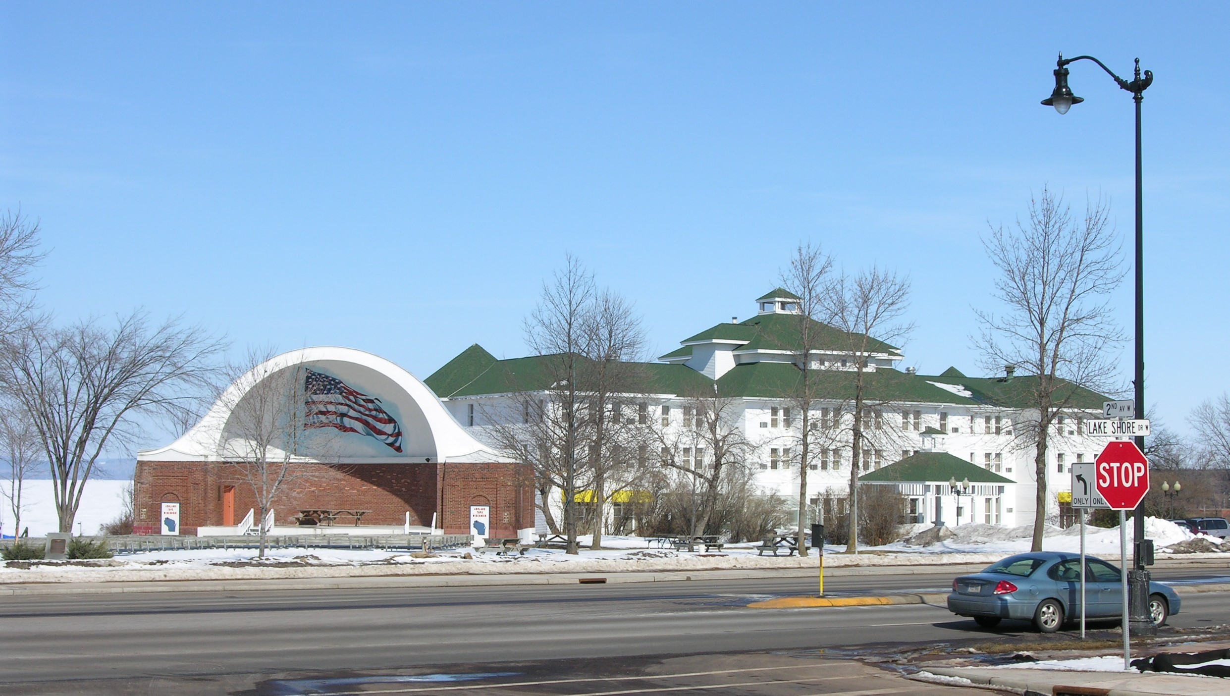
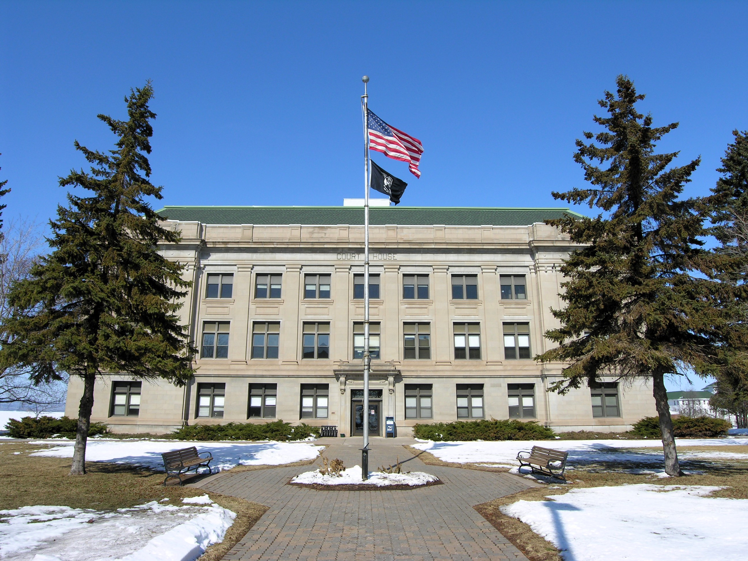
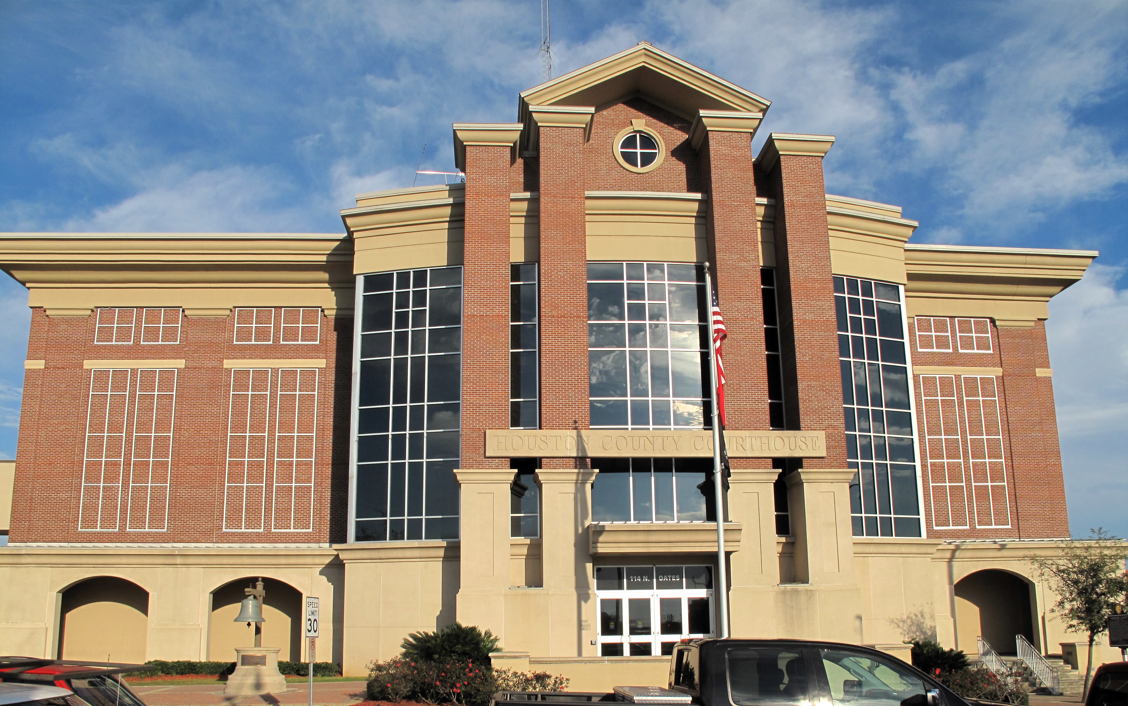
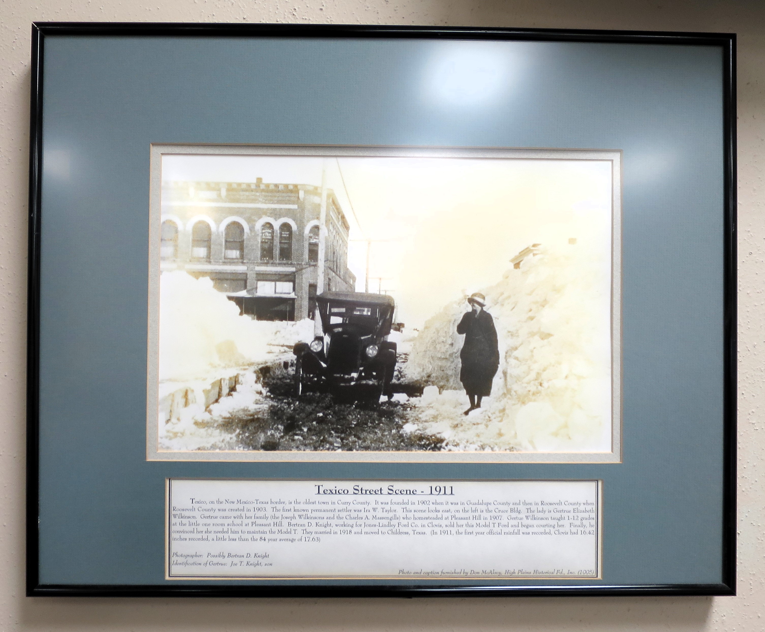
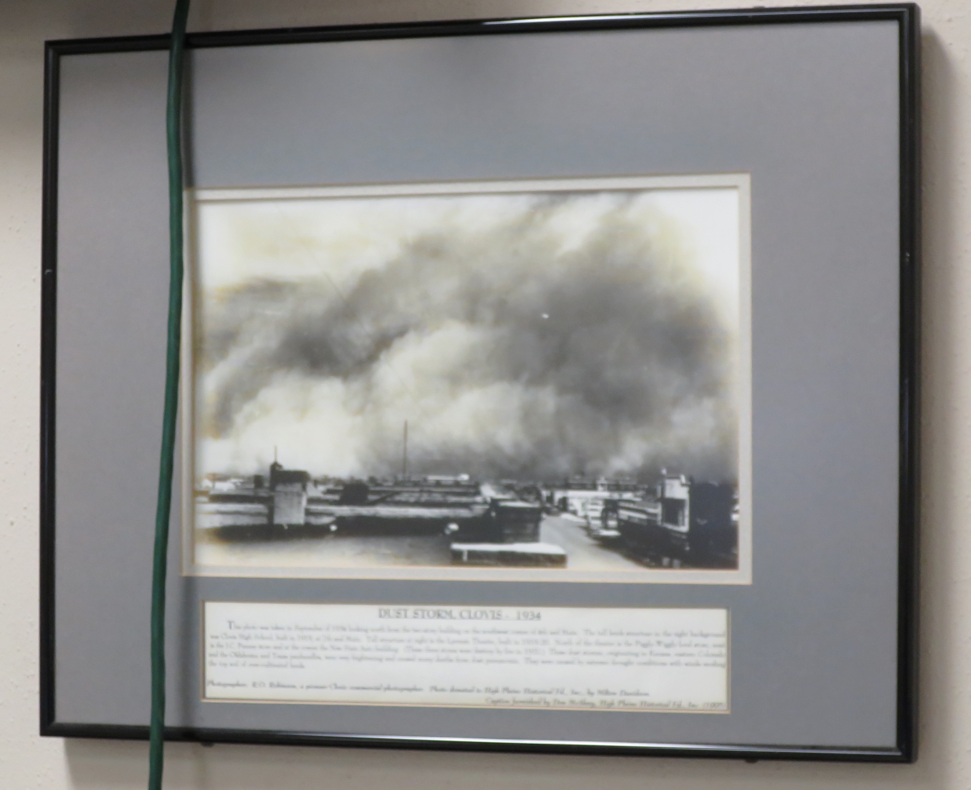
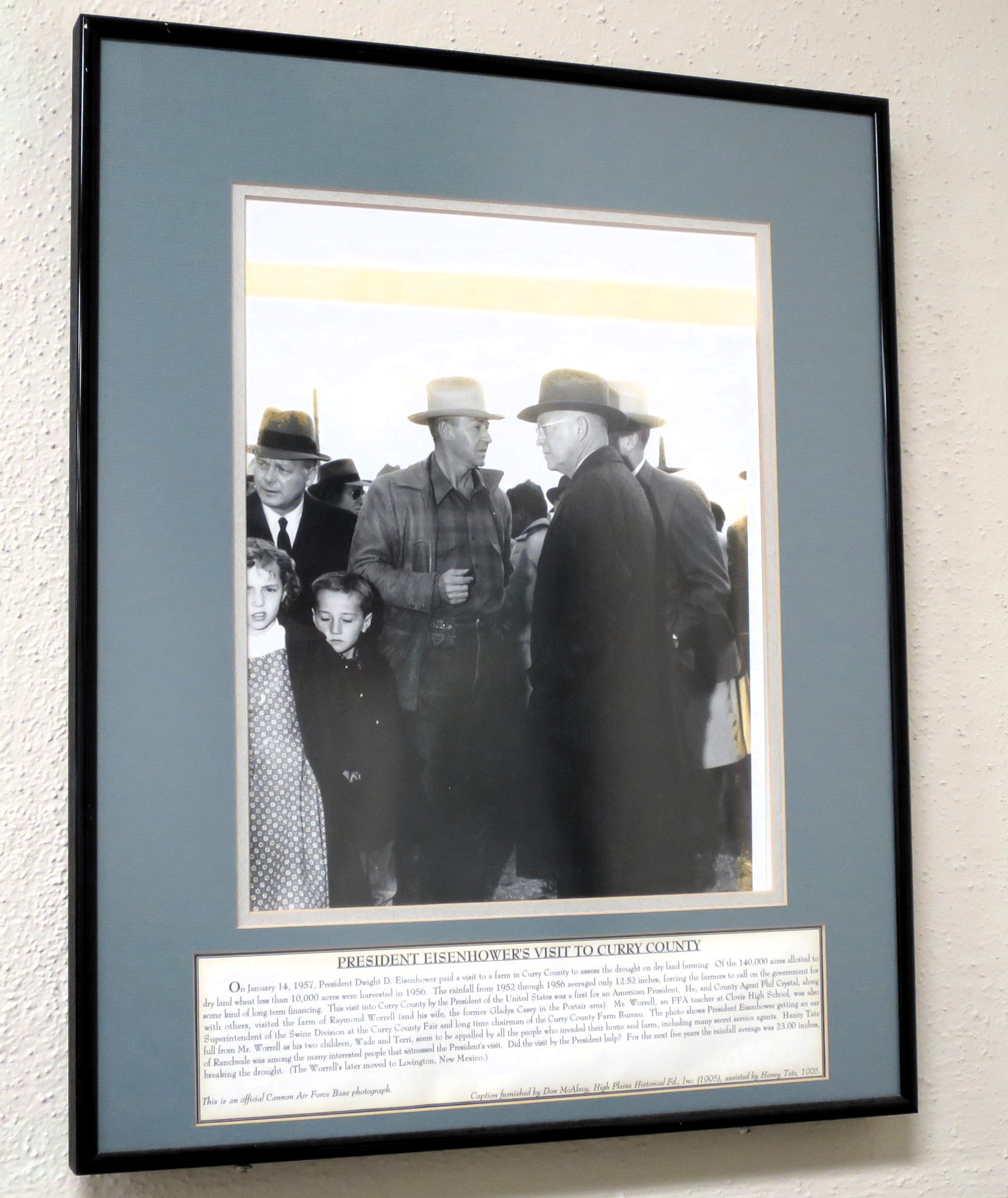
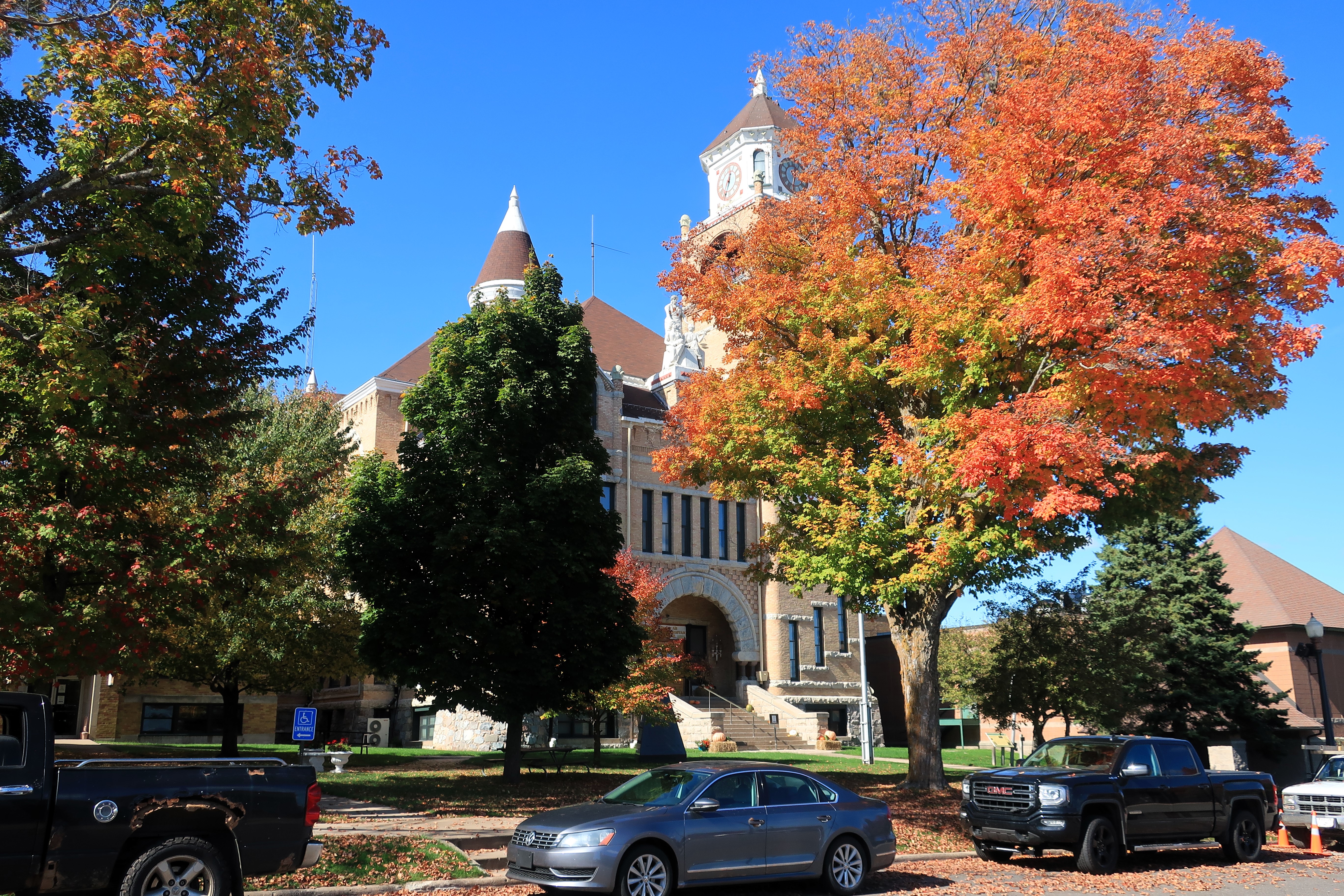
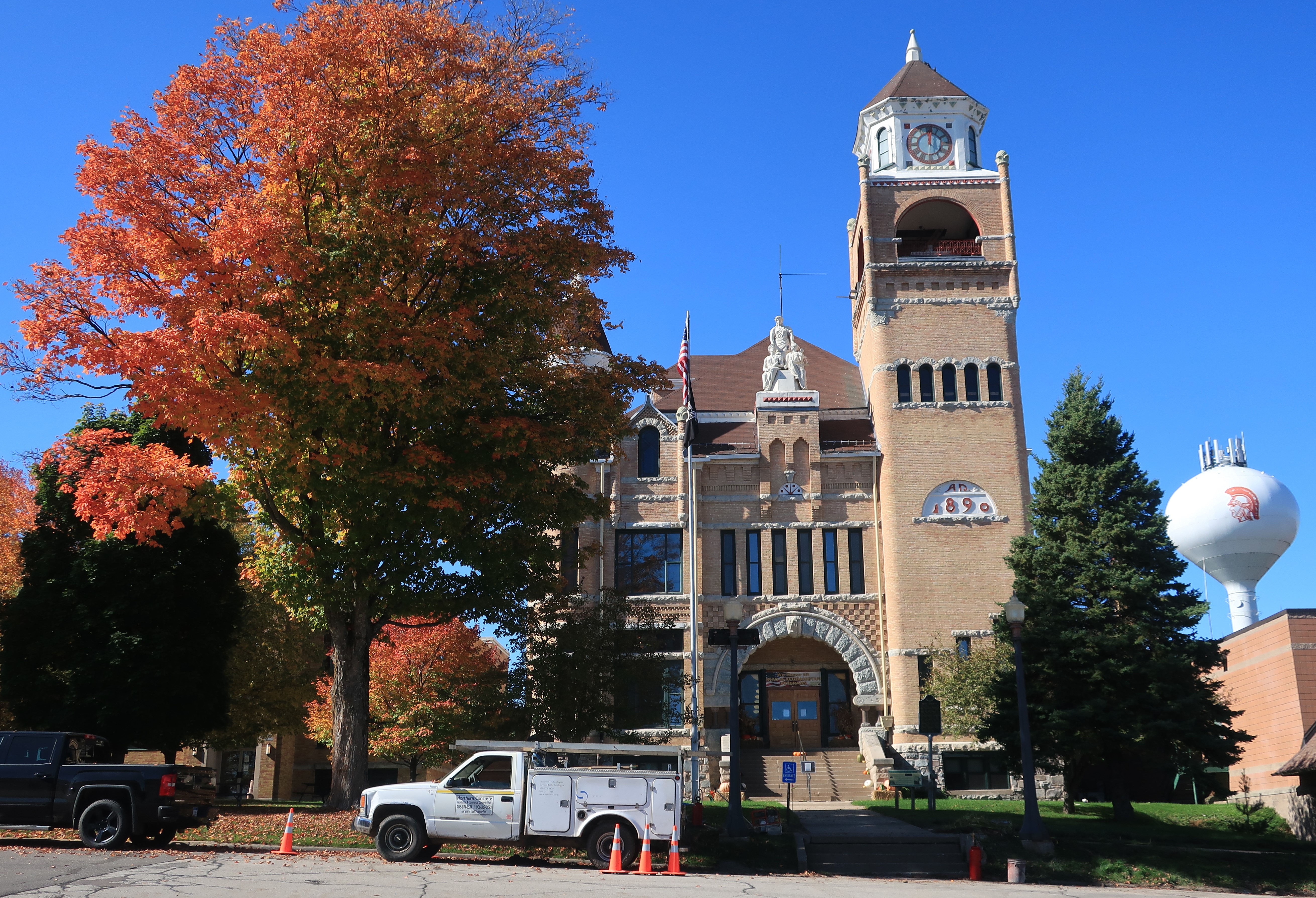
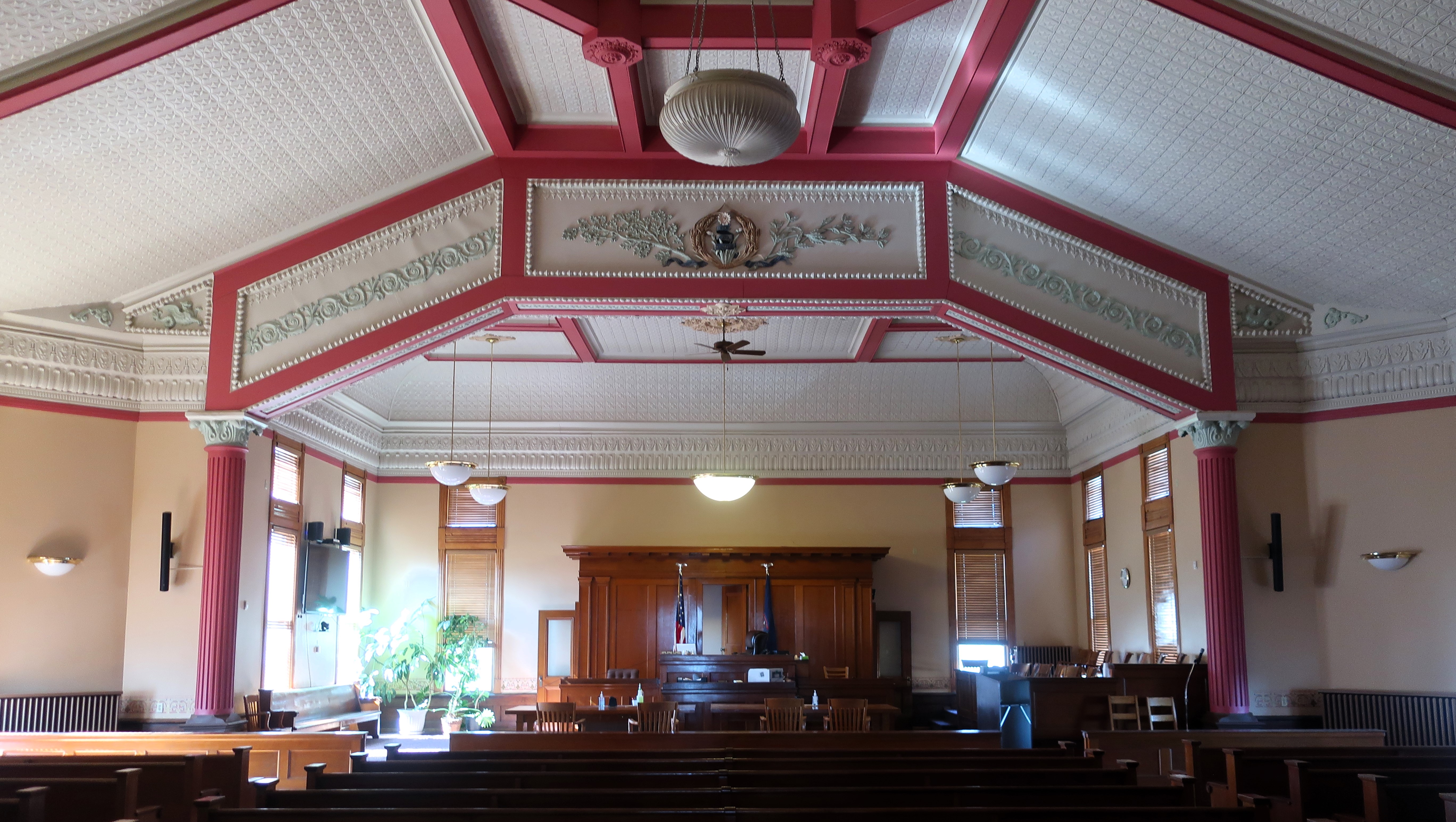
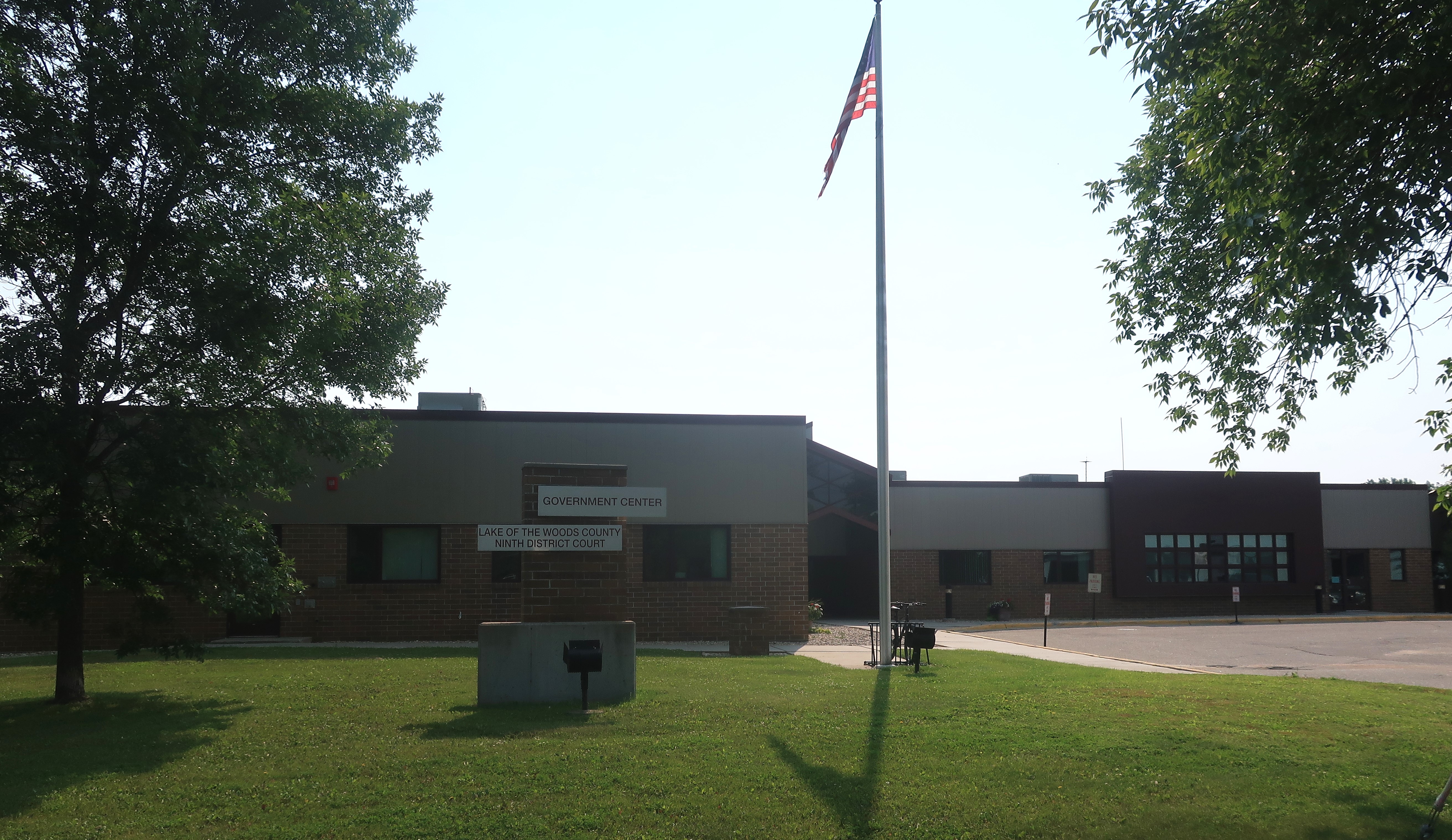
The single-courtroom Lake of the Woods County Courthouse is part of the new government center built at the edge of town. I walked into the atrium and noticed that the courtroom was closed. The walls of the atrium were lined with old black and white hunting photos and family photos of old settlers.
A list of all photo posts from the American County Seats series in TimManBlog can be found here.
All photos were taken by the author on July 14, 2023.
My lifetime hobby is traveling to all of America’s county courthouses, and each month, I post about a visit to a scenic or exciting county seat. It’s a hobby, and donations are greatly appreciated to help cover my costs.
Donations to TimManBlog
Use this form to make donations to support this site. Paypal, Visa, Mastercard, Amex, and Discover cards are accepted. Donations can be made in increments of $5.00; increase the number of units to increase the donation amount.
$5.00