A Visit to Bakersville, North Carolina, after the Storm.
Please consider donating to support my travels using the form at the bottom of the post. PayPal, Visa, American Express, Mastercard, Discover, and Maestro are accepted. Thank you.
February 28, 2026
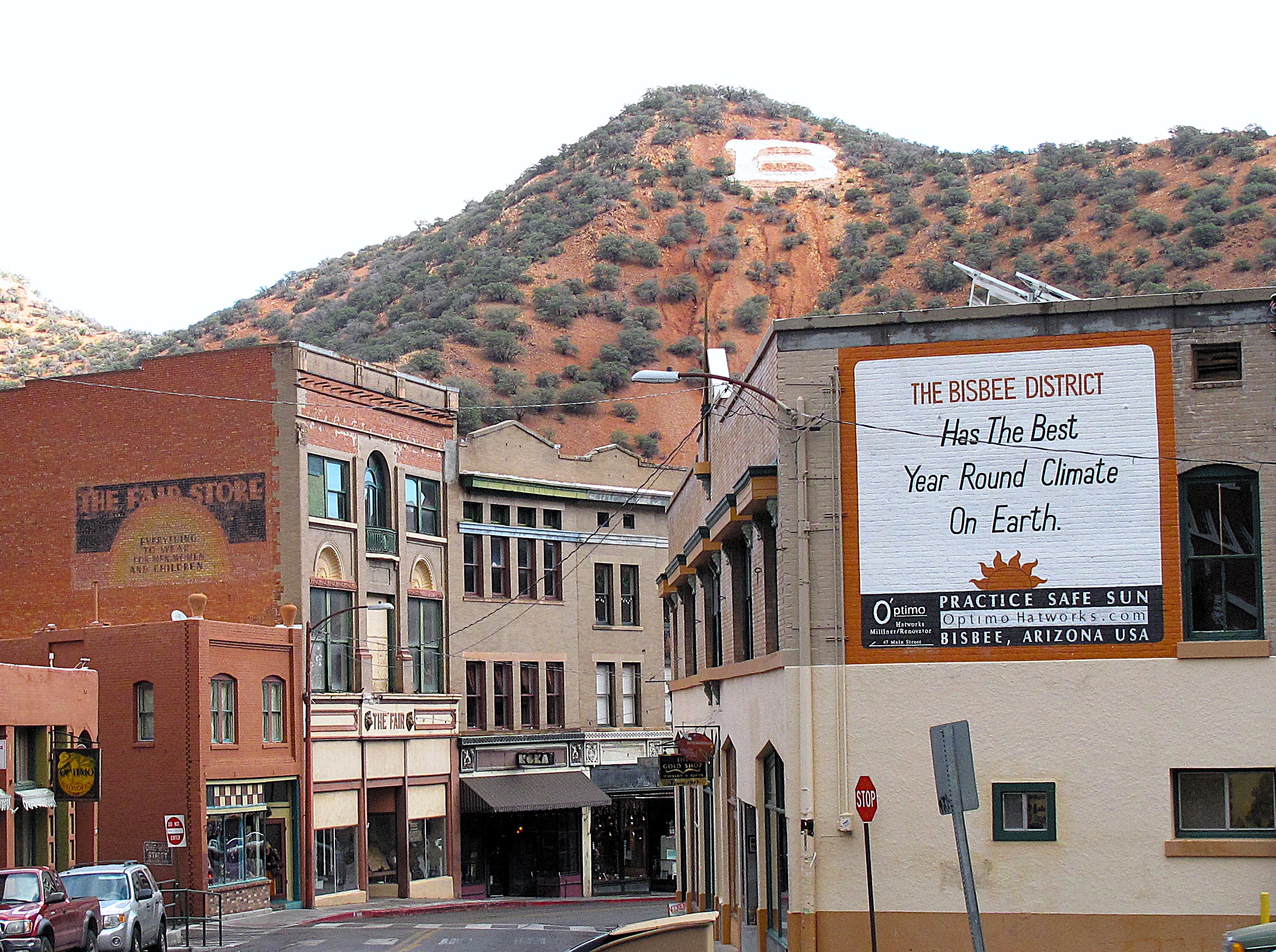
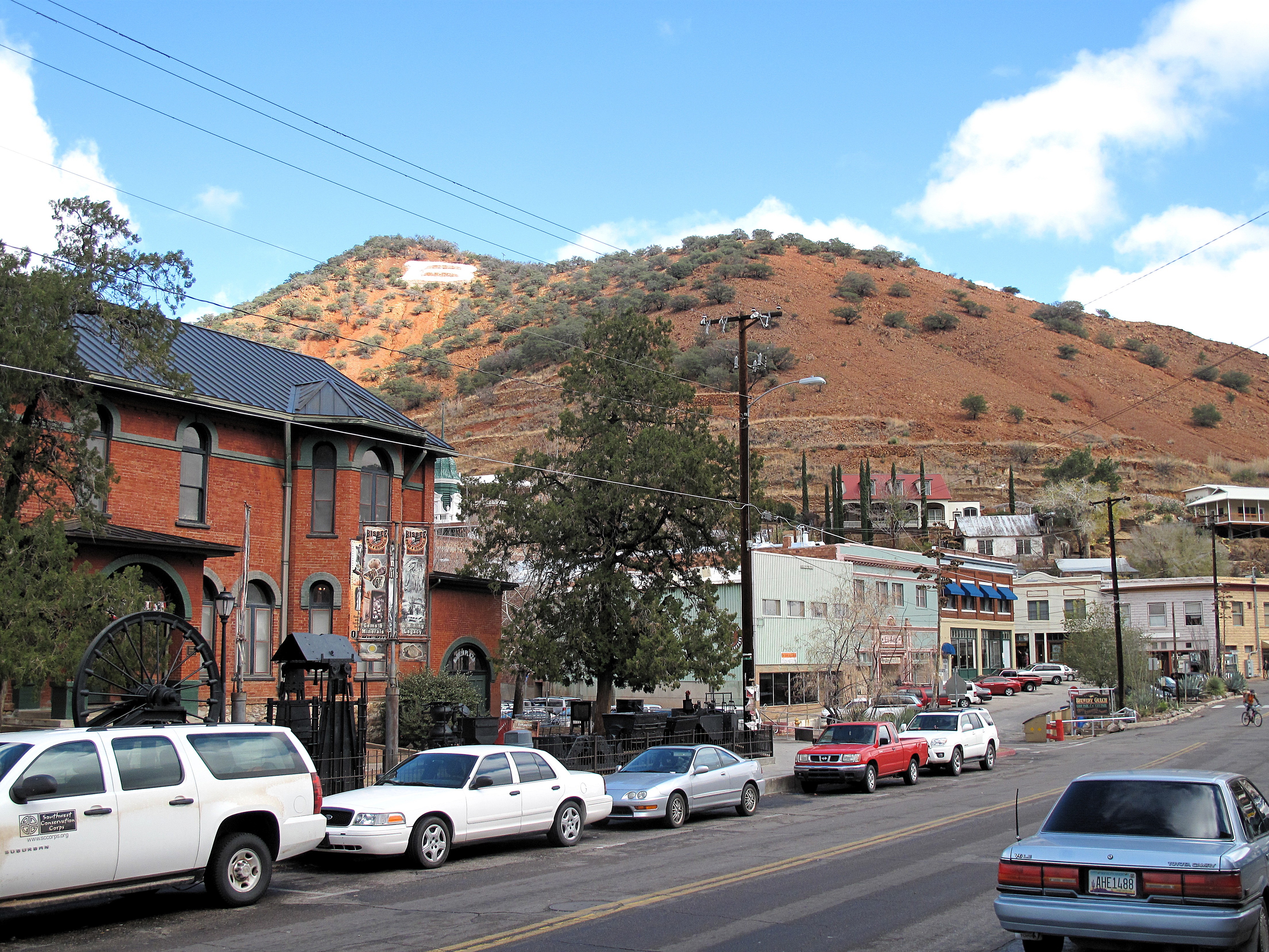
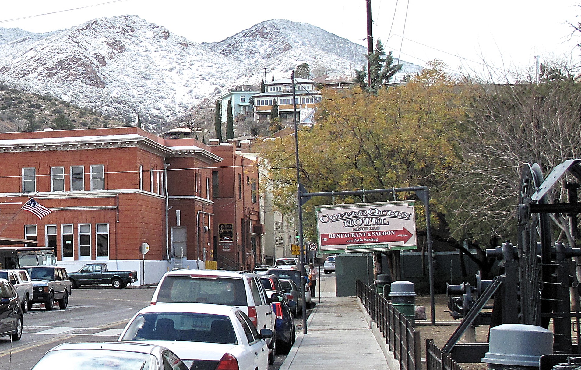
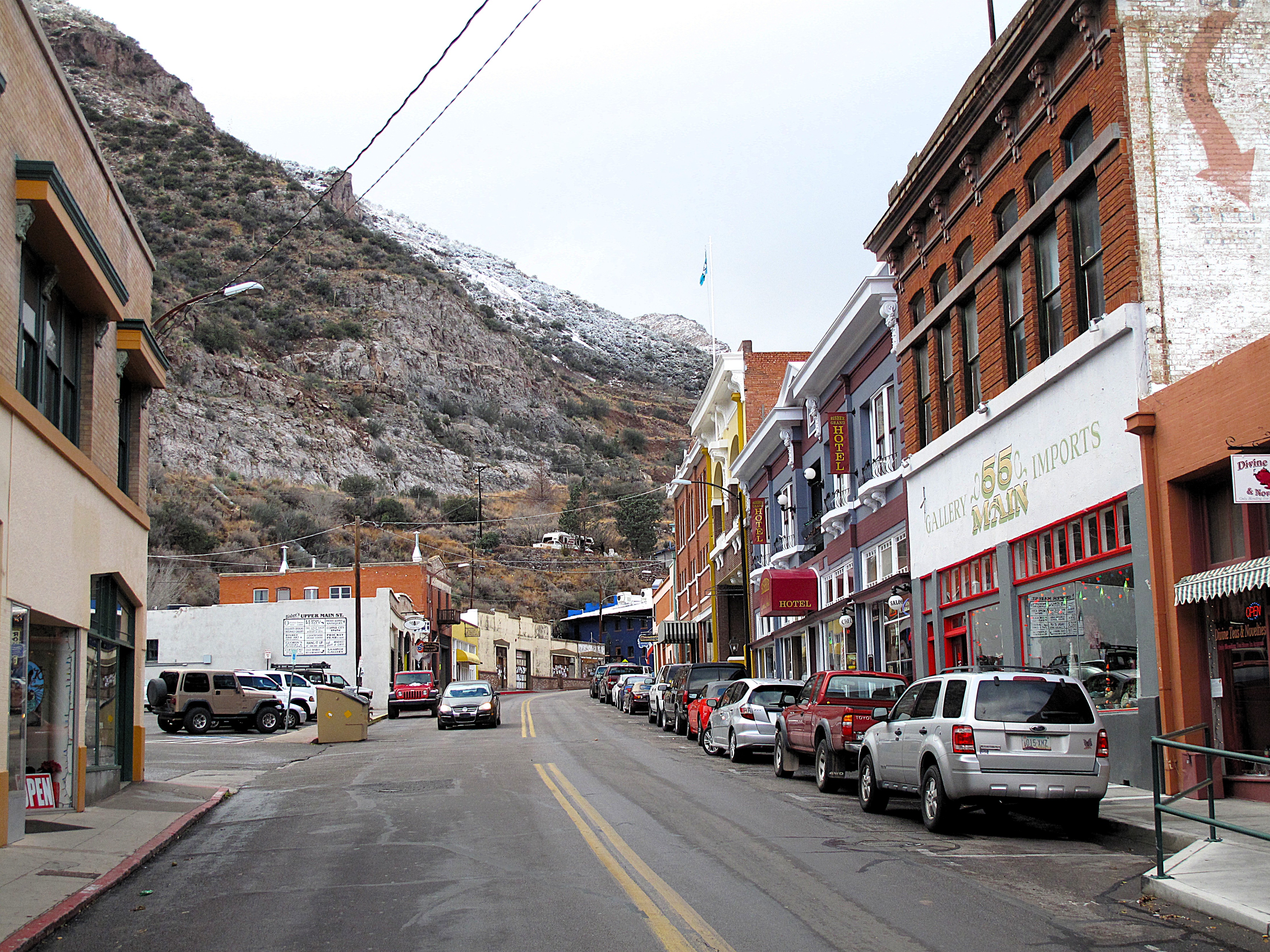
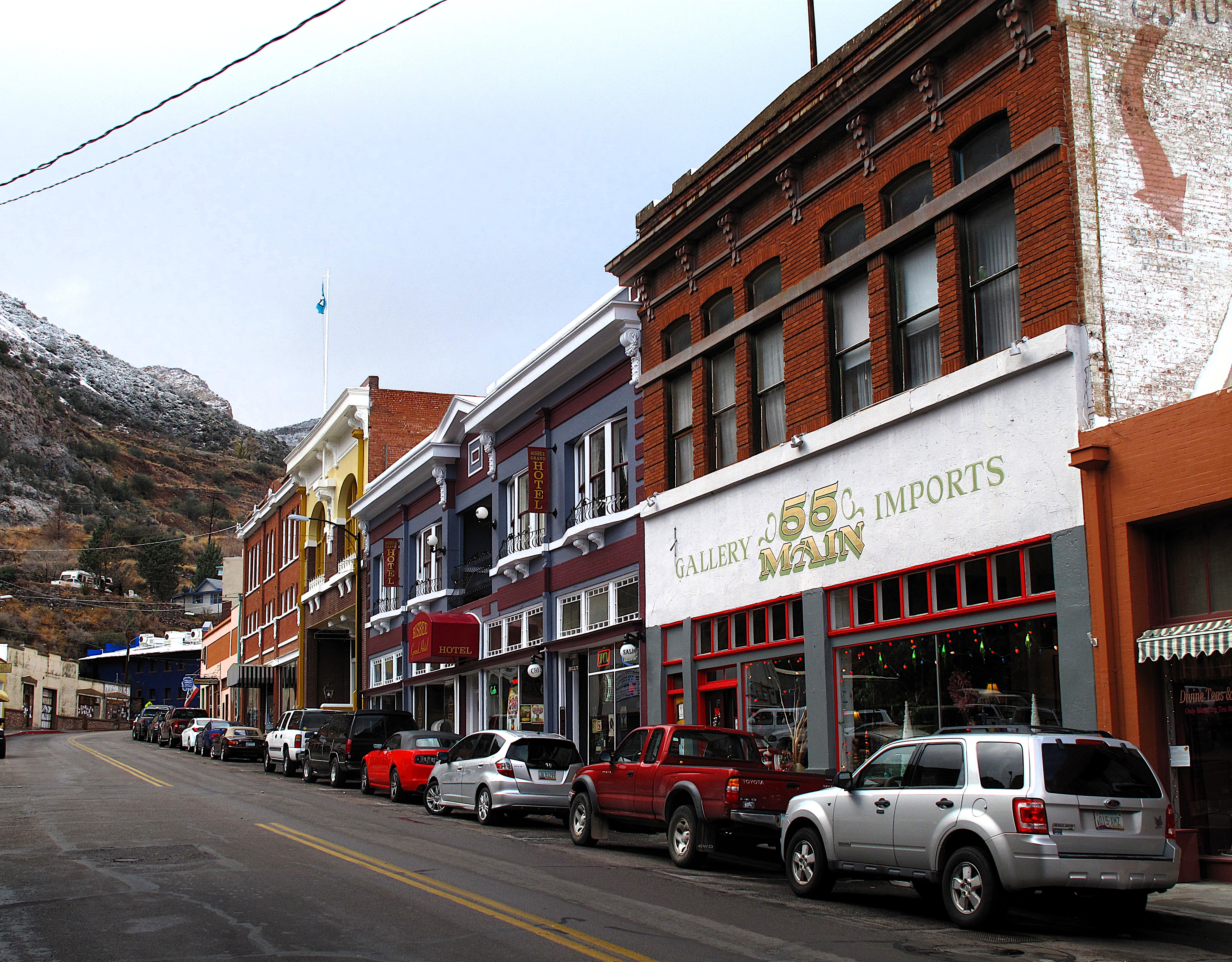
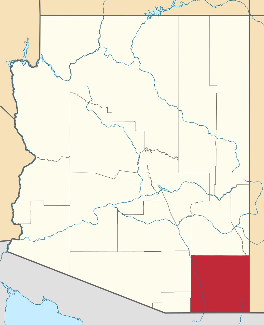
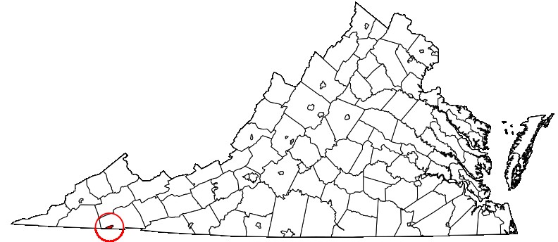
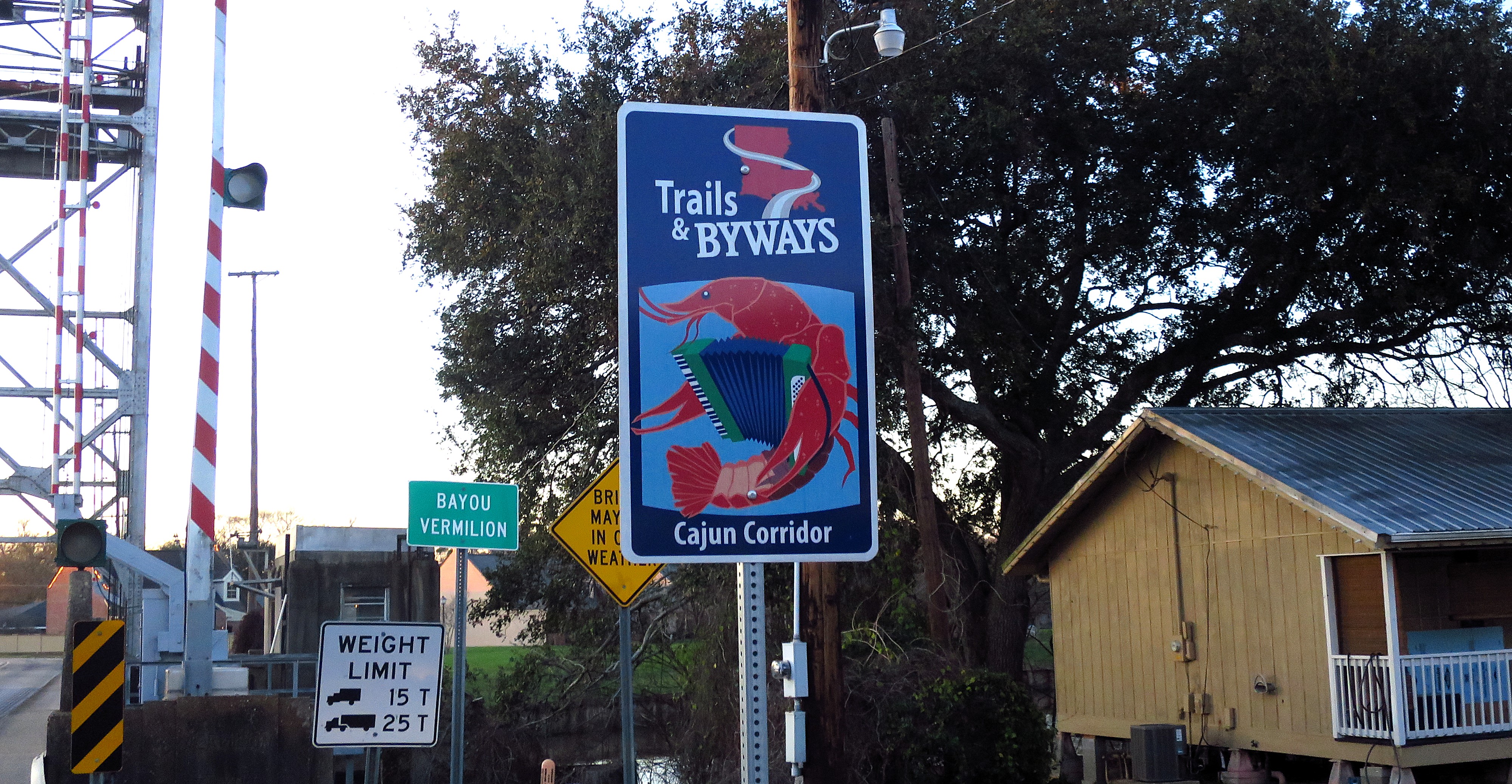
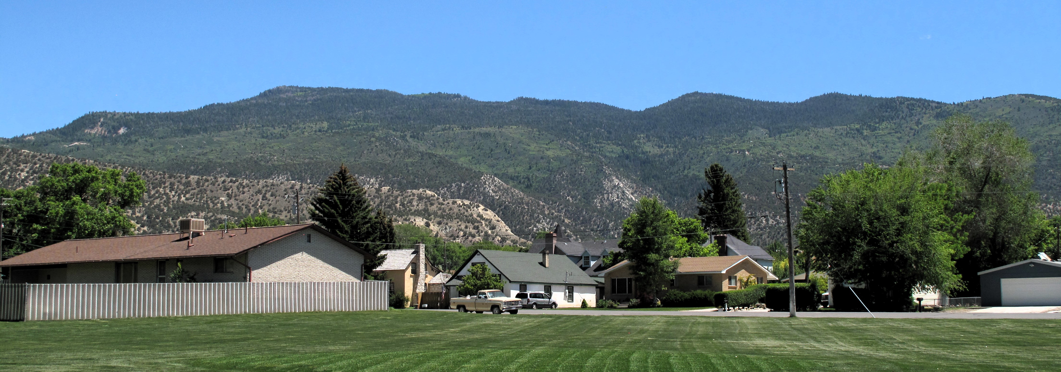
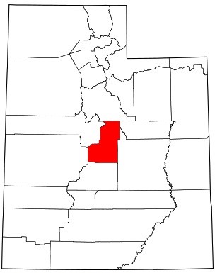
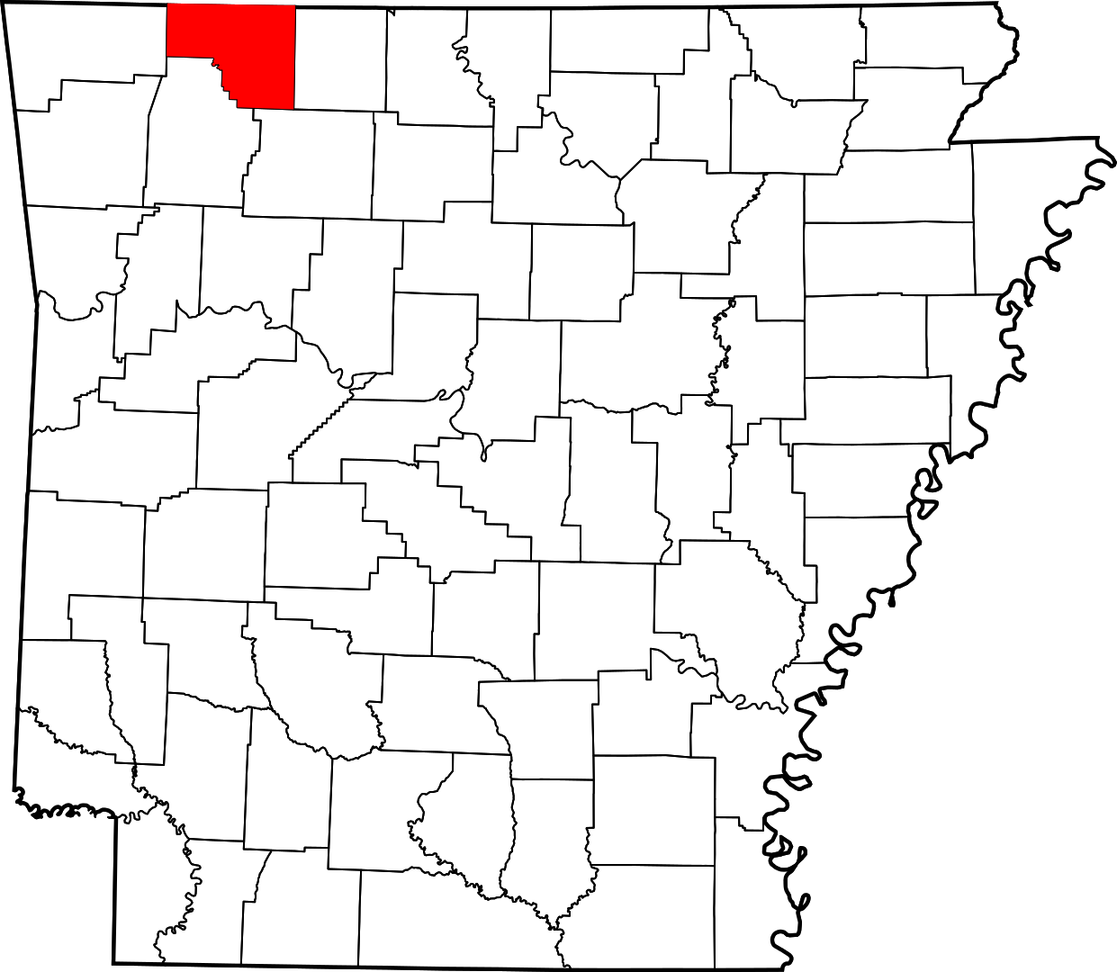
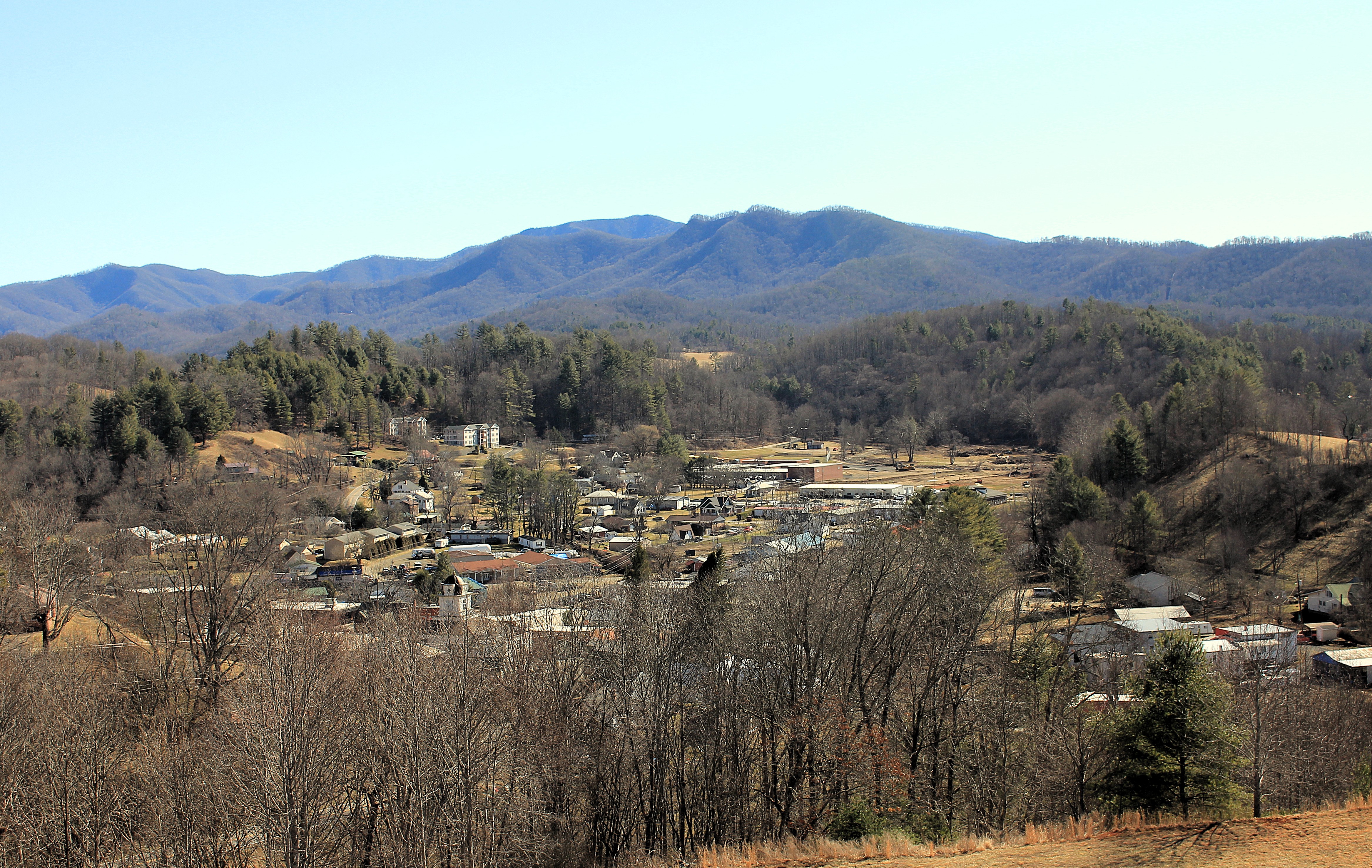
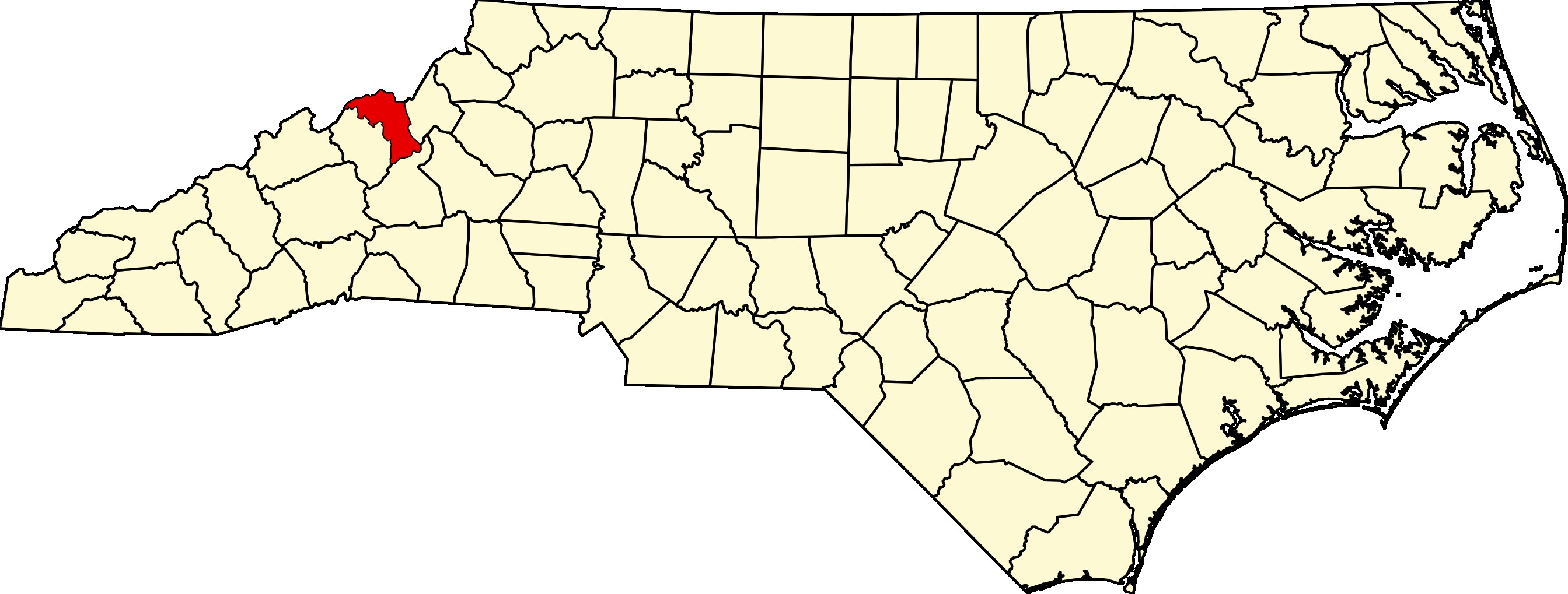
Bakersfield is a mountain town in western North Carolina and the seat of Mitchell County. The town has a population of about 450. The surrounding land is very rugged, and the city lies in a valley surrounded by Appalachian Mountain peaks.
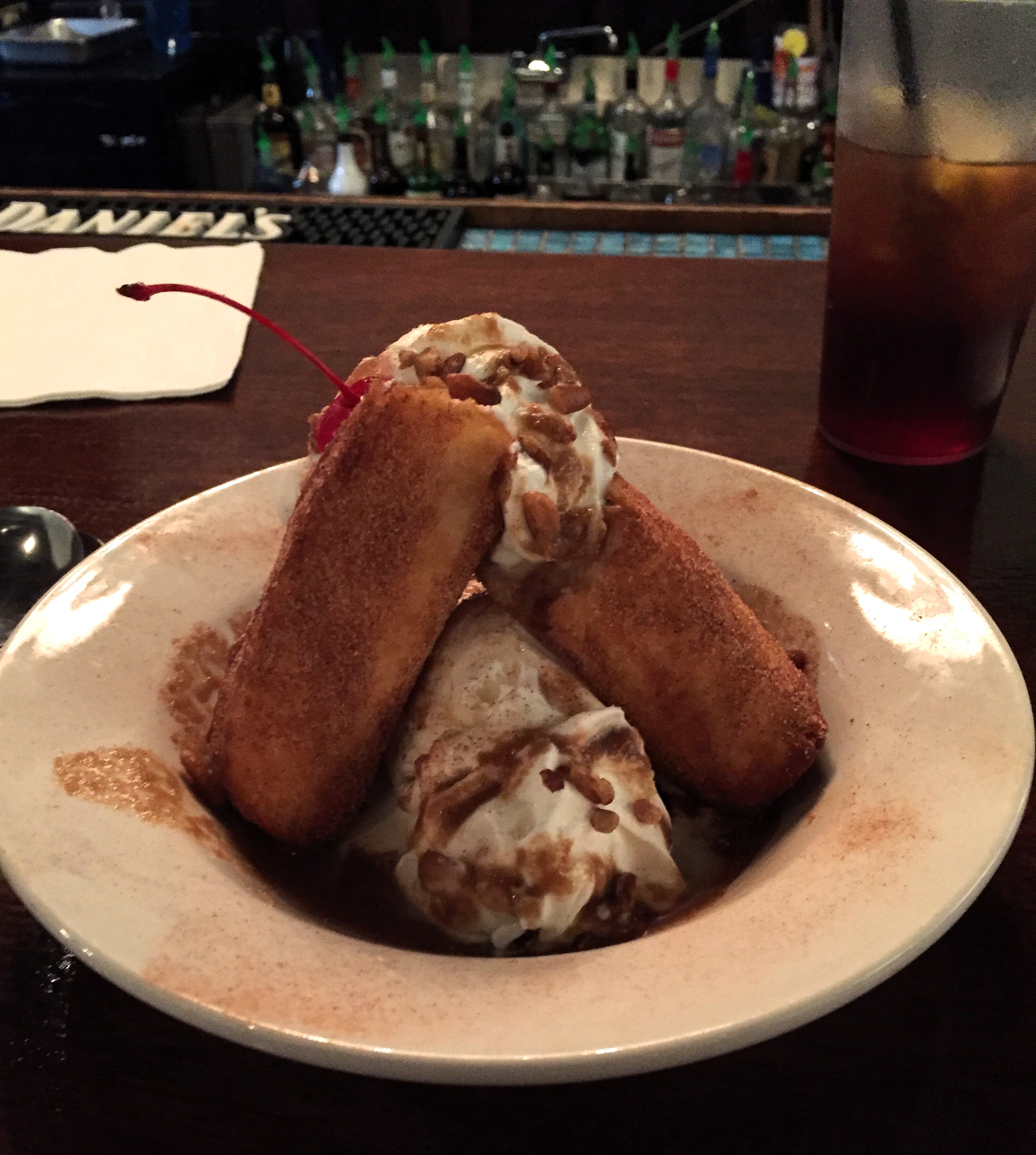
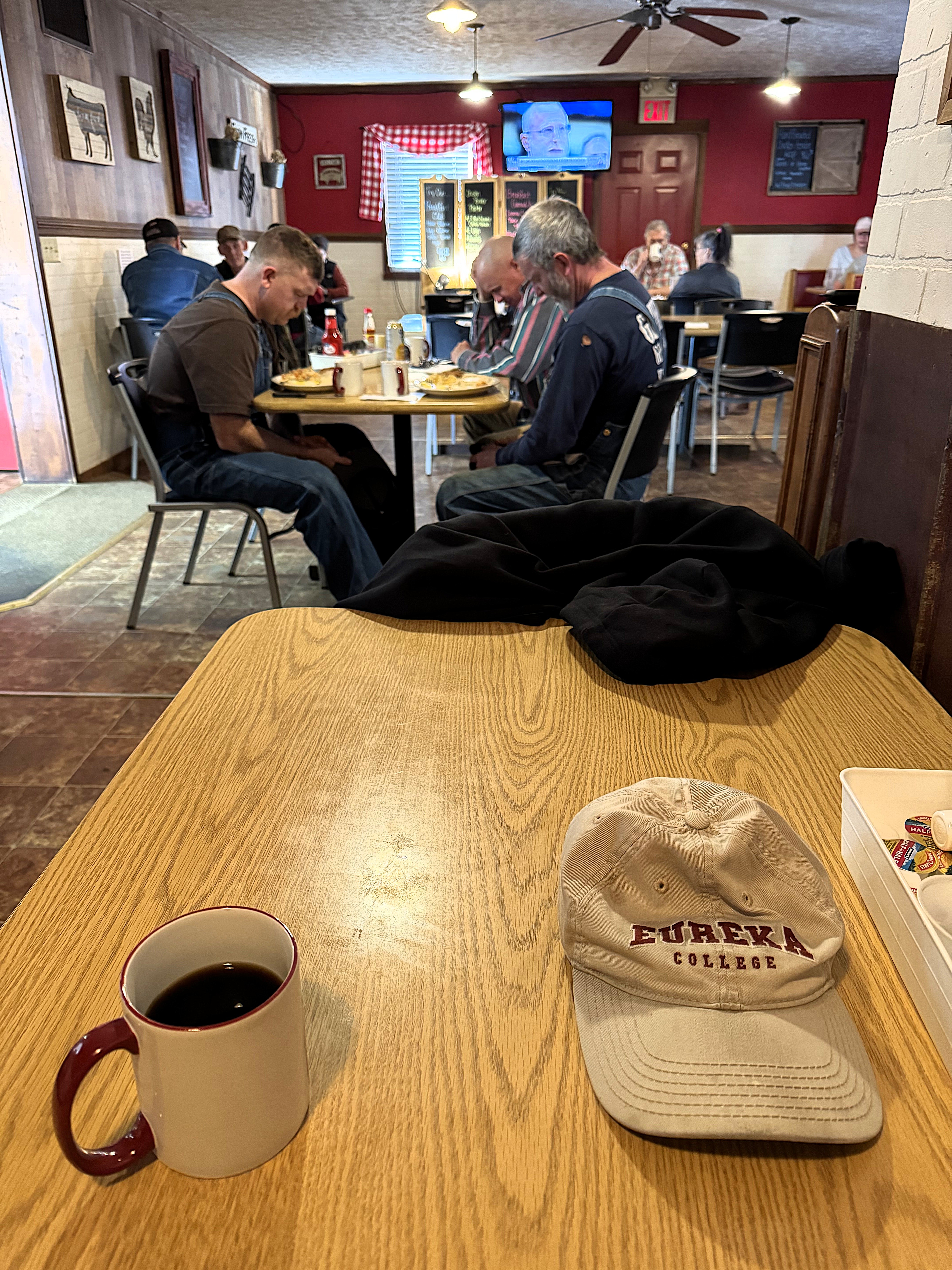
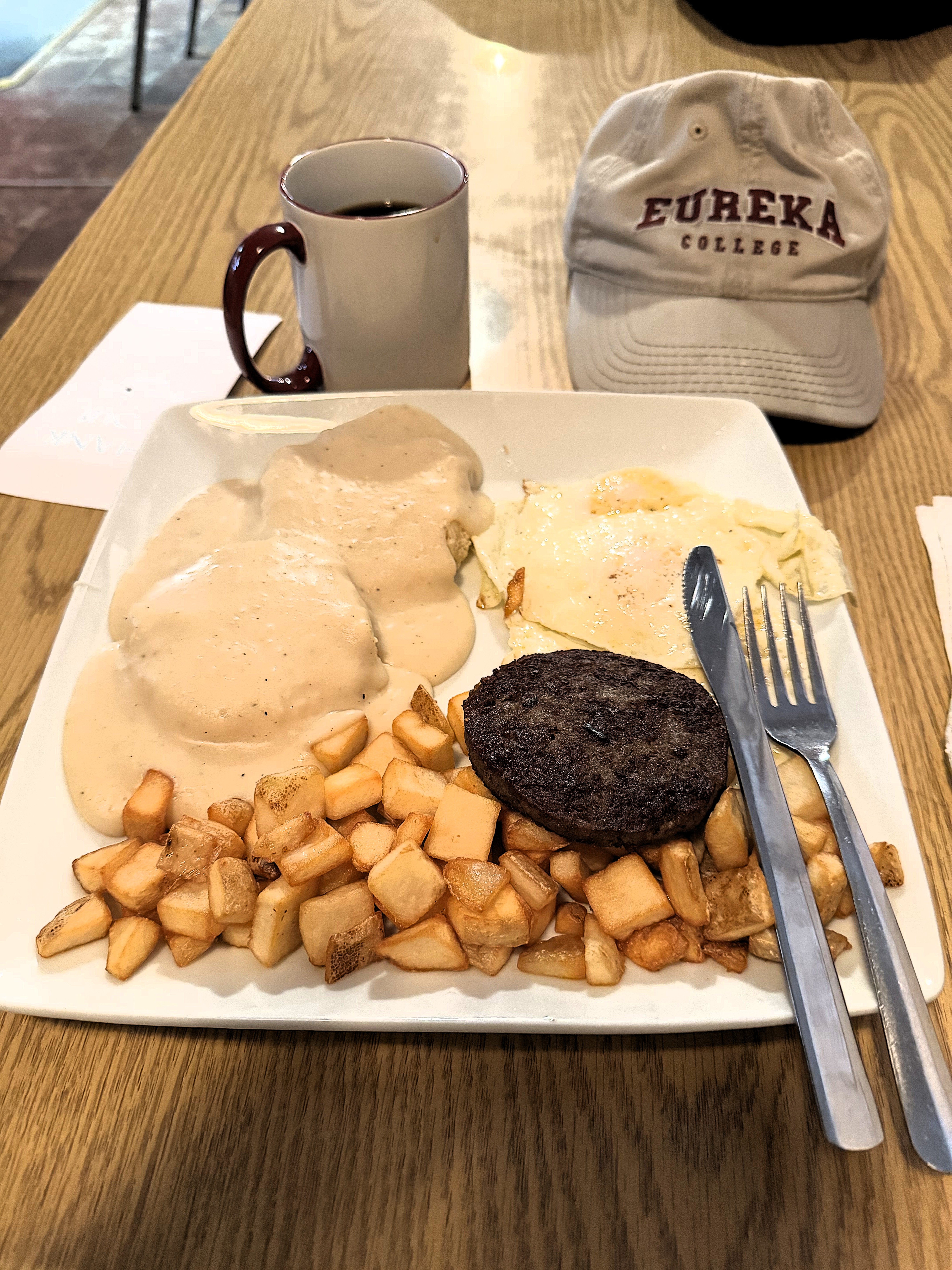
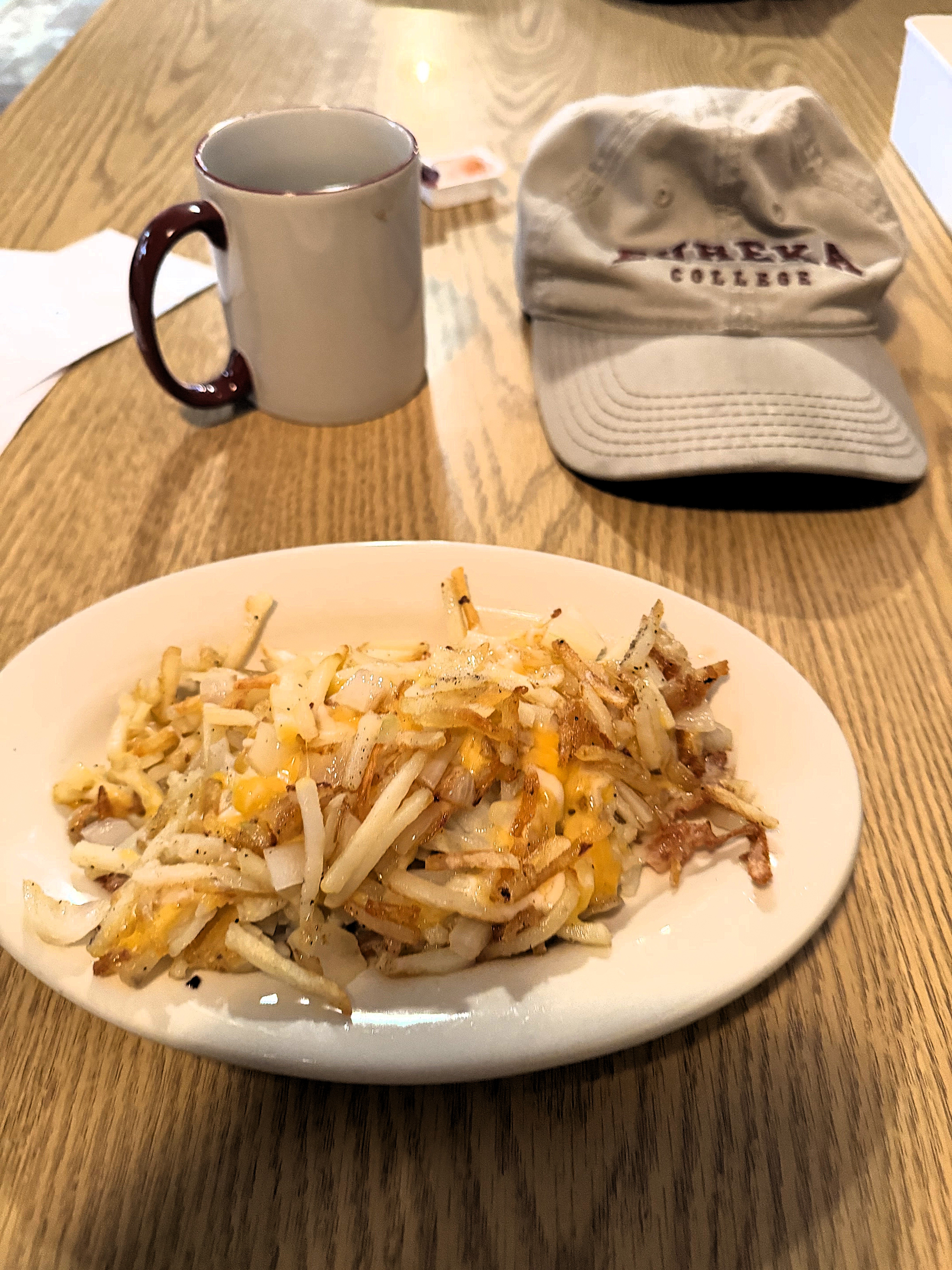
I visited Bakersville on an unseasonably warm February day in 2025. Of course, the best way to start the day is with a delicious country breakfast. Mammie’s Breakfast Barn is the place where locals eat in Bakersville.
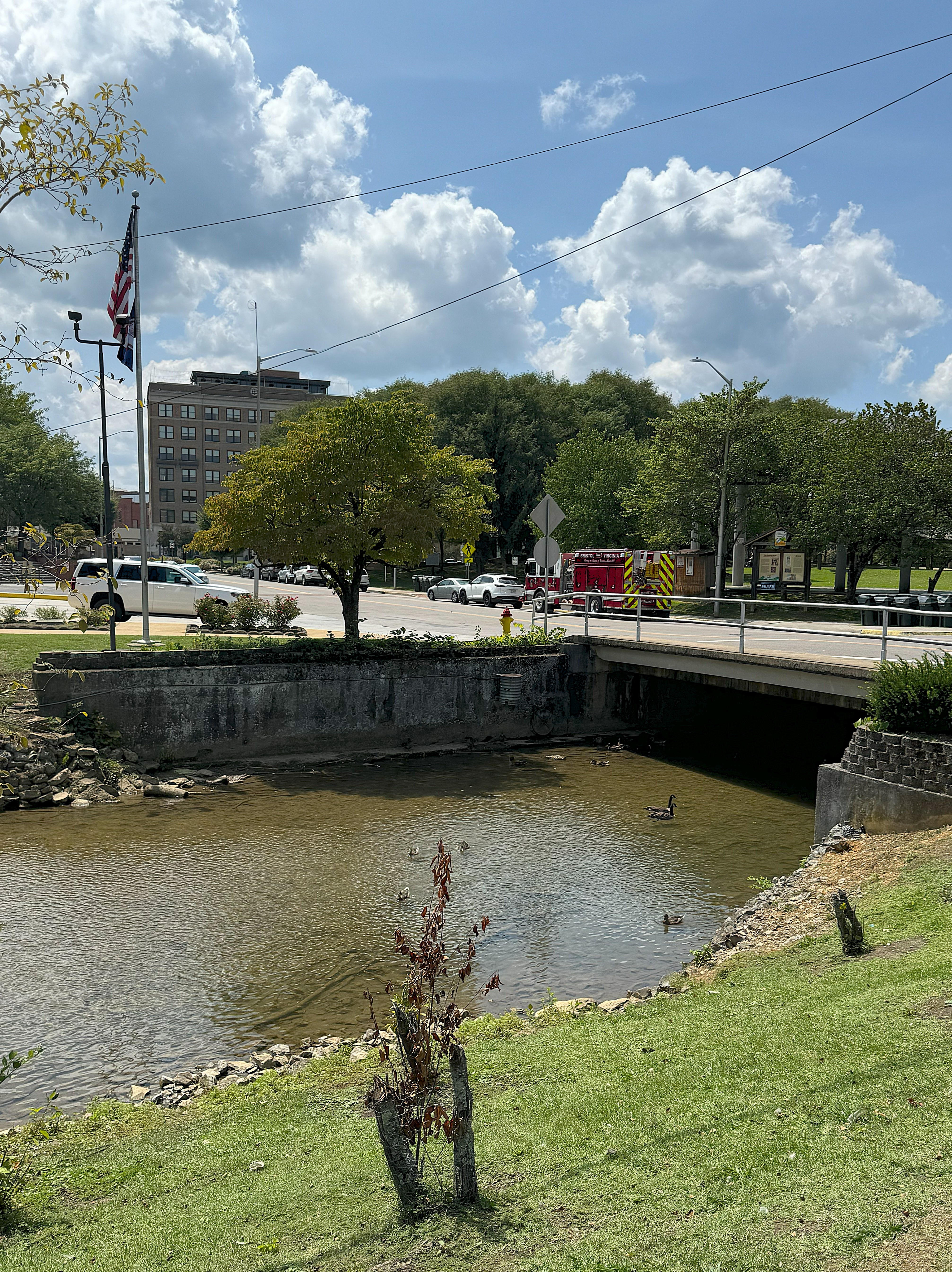
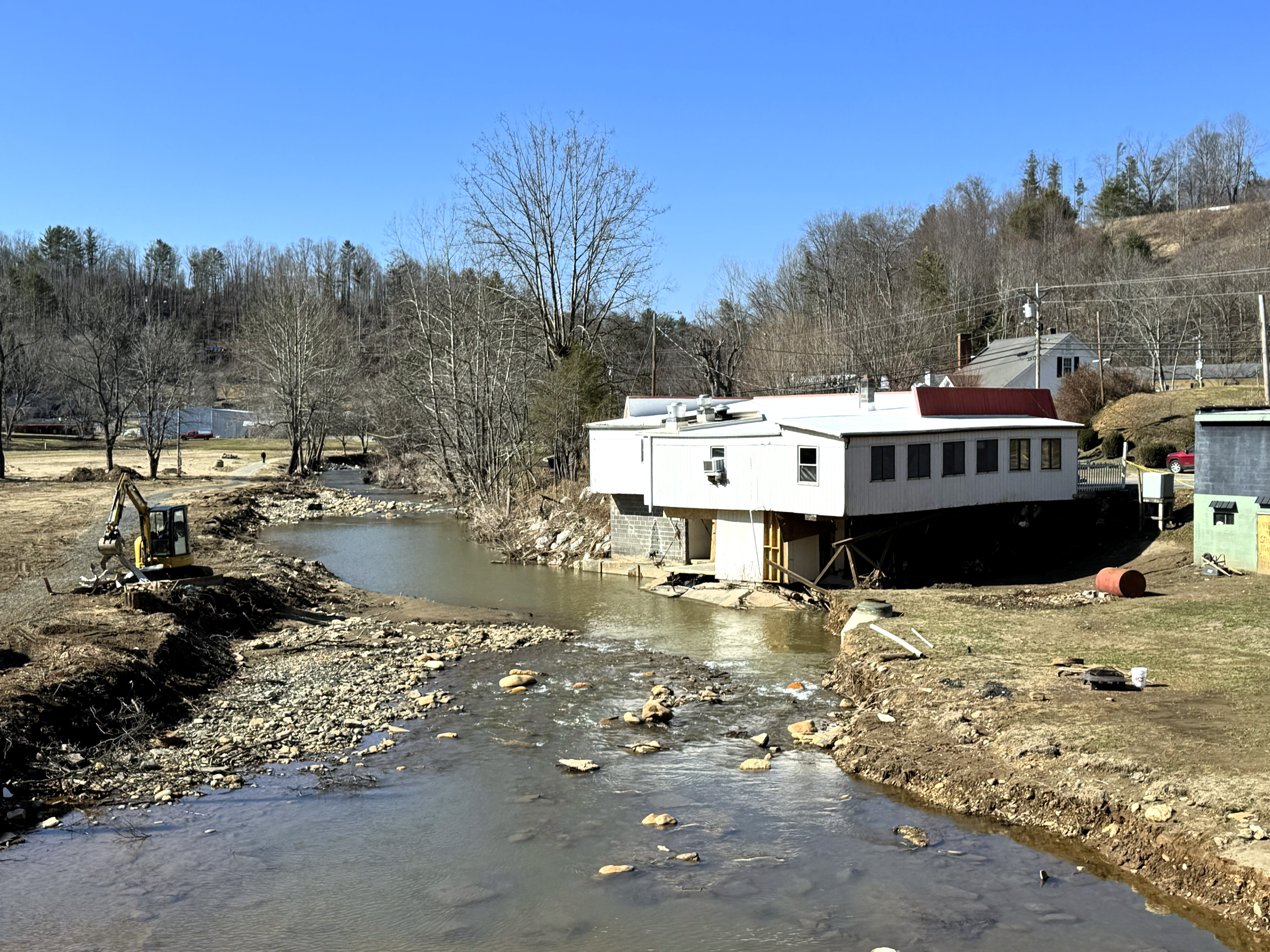
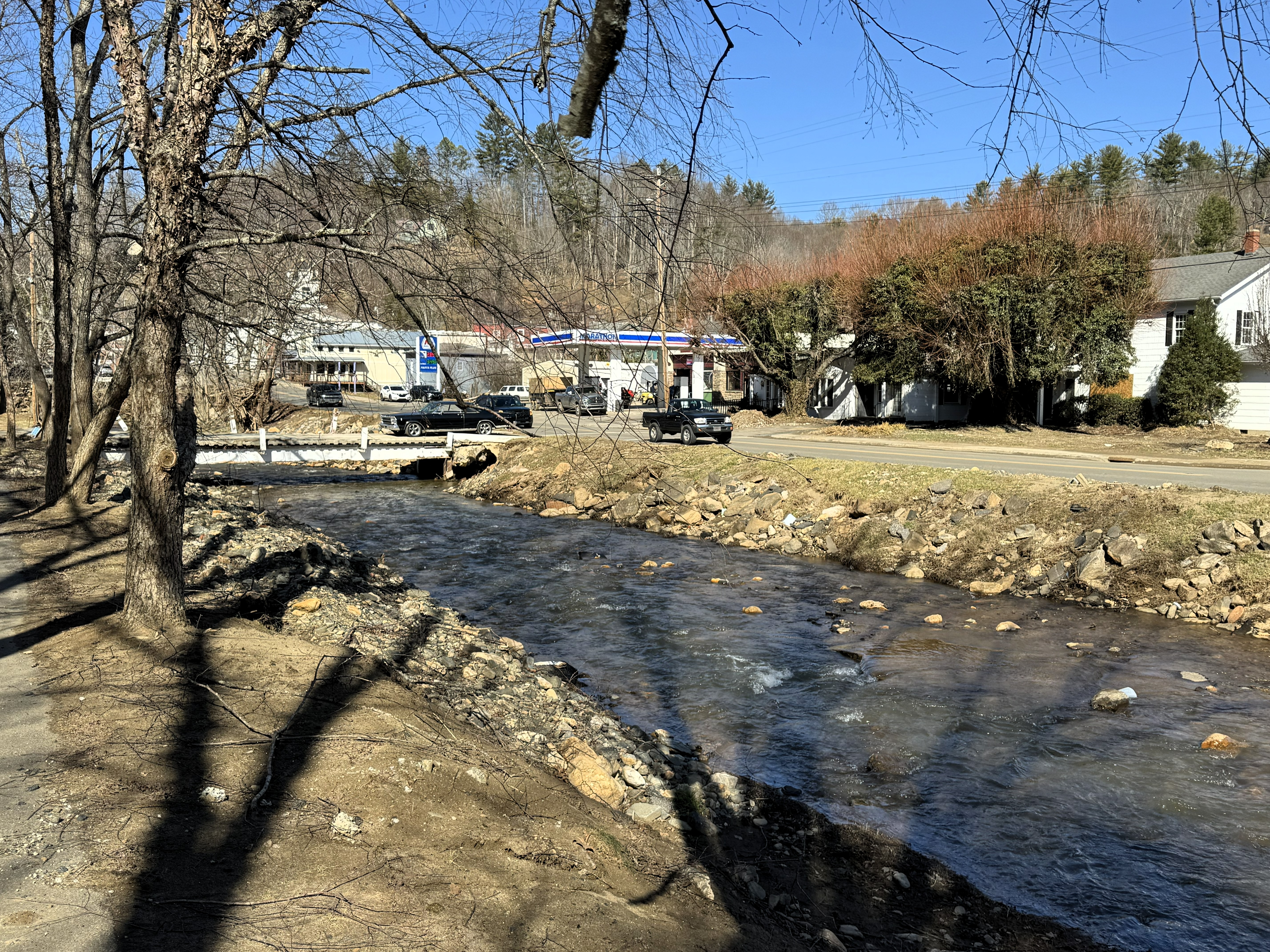
Hurricane Helene hit this area very hard in September 2024, and the town is still recovering. The creek that runs through the city’s center (Cane Creek) overflowed its banks during the hurricane, destroying some structures and bridges and leaving a muddy mess. Dump trucks and earth-moving equipment have moved much of the debris into piles. The photos below were taken five months after the storm.
From my observation, heavy equipment outnumbers passenger vehicles on nearby roads by a ratio of 3 to 1.
On hillsides facing the heaviest winds during the storm, scores of slender pine trees were knocked down to the ground. These look like pieces of lumber lying on the hillsides.
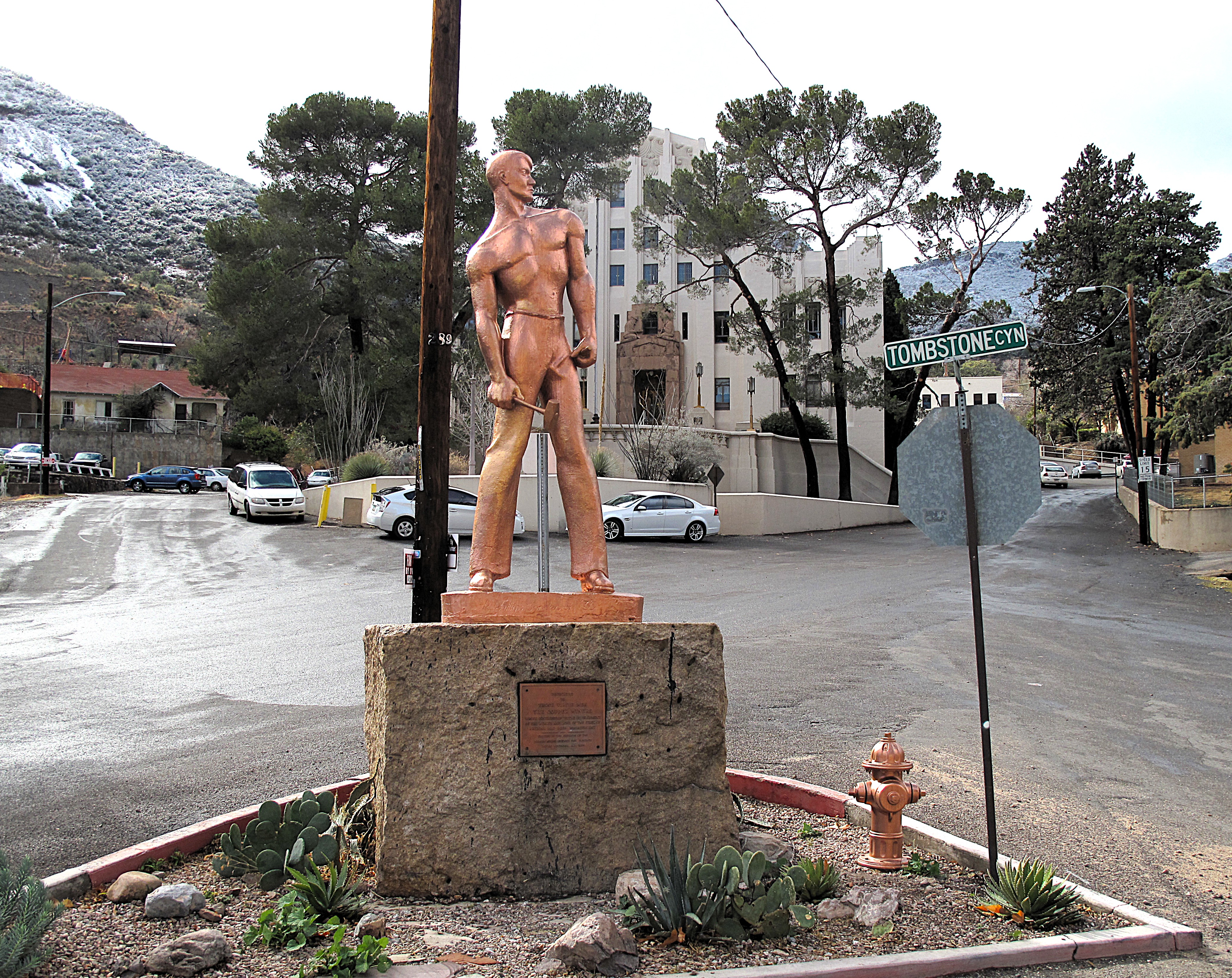
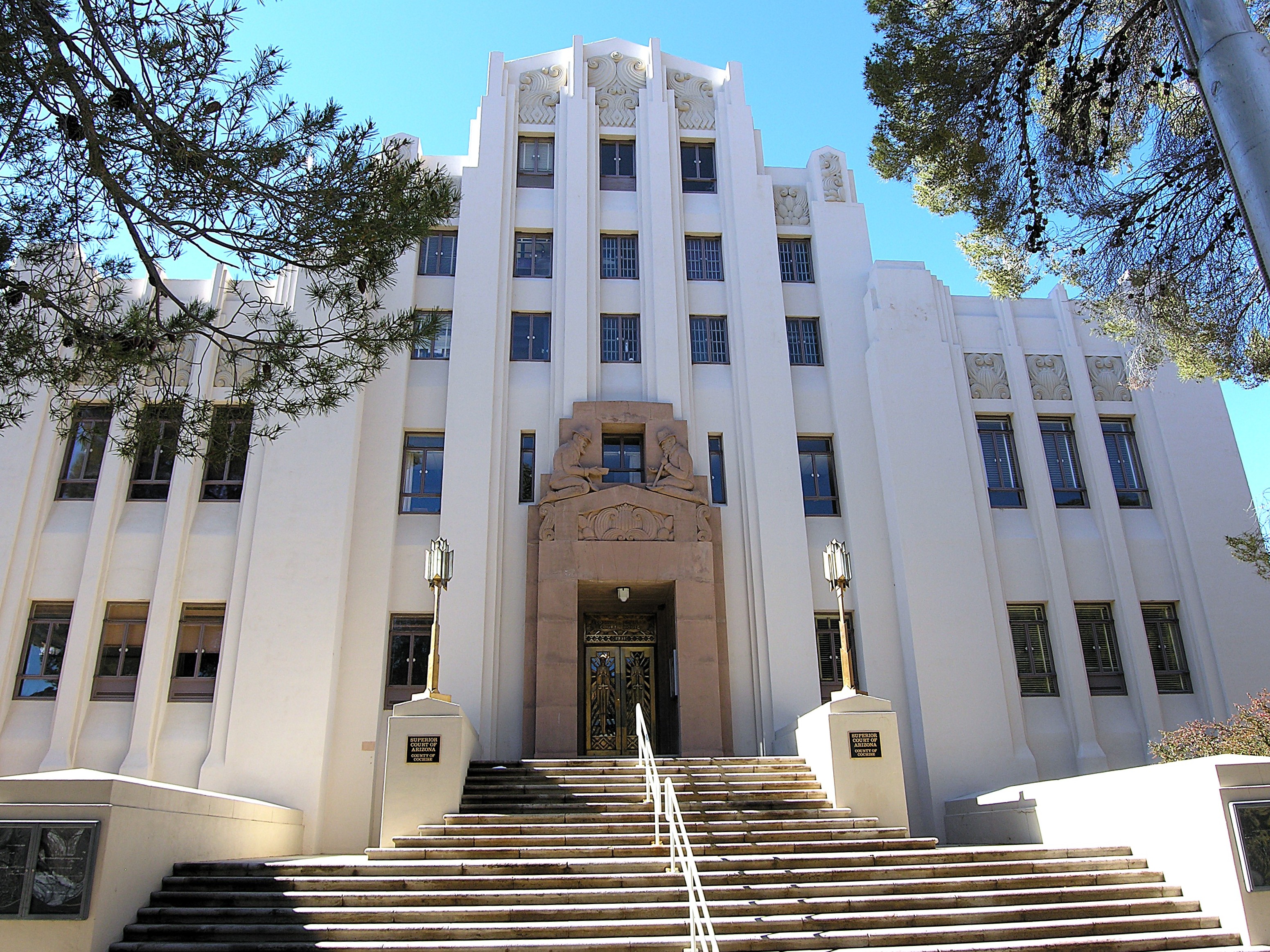
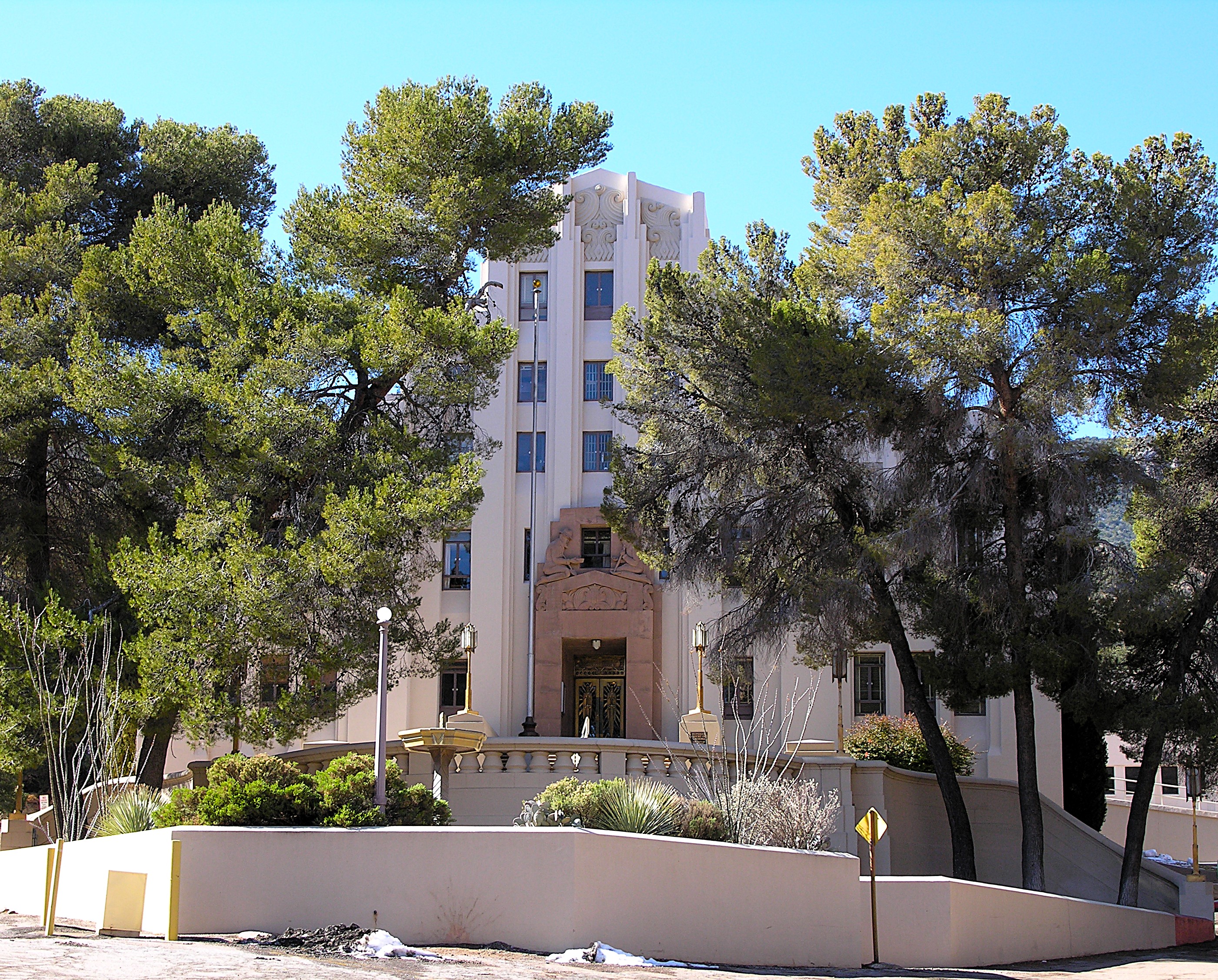
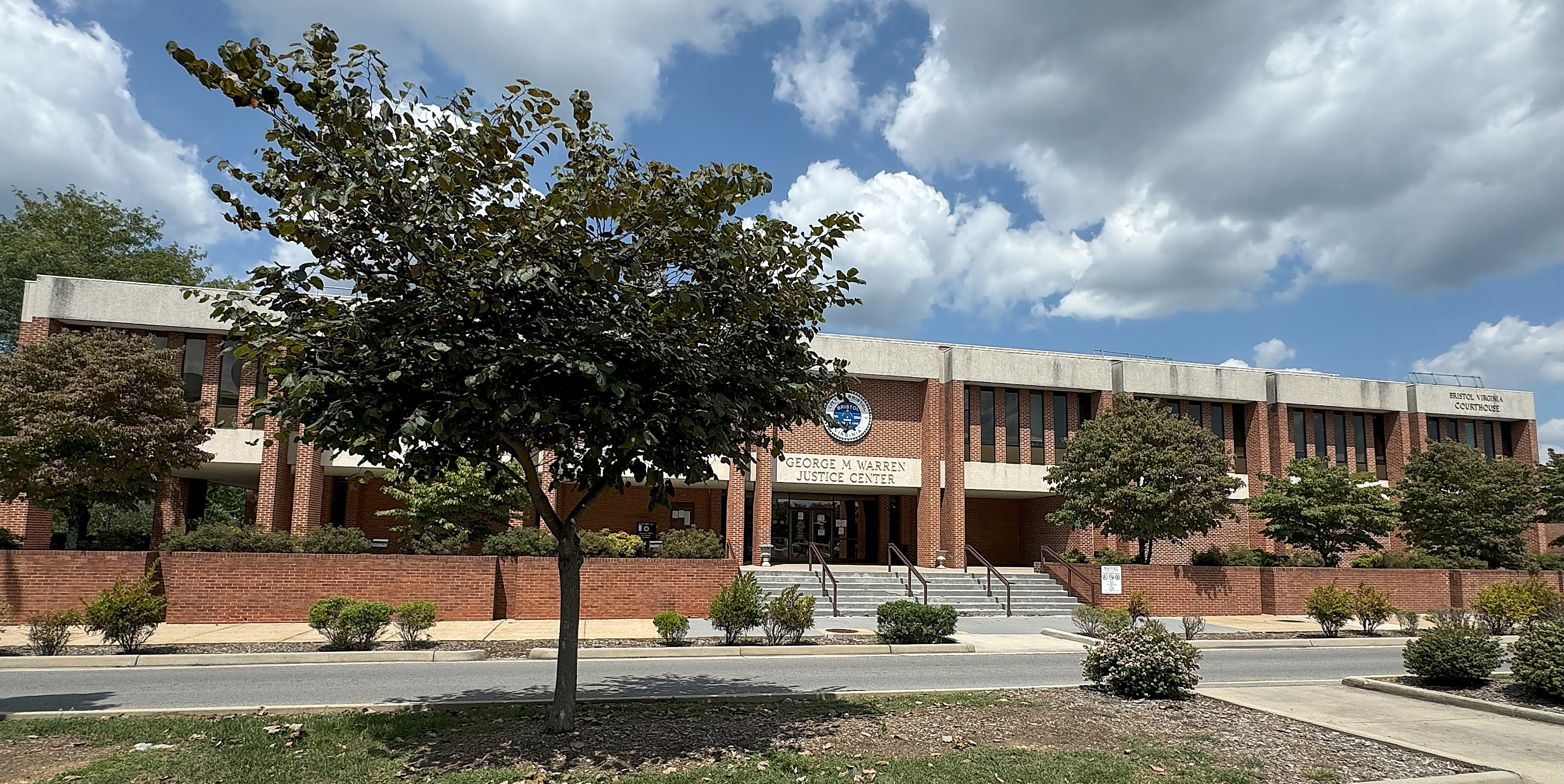
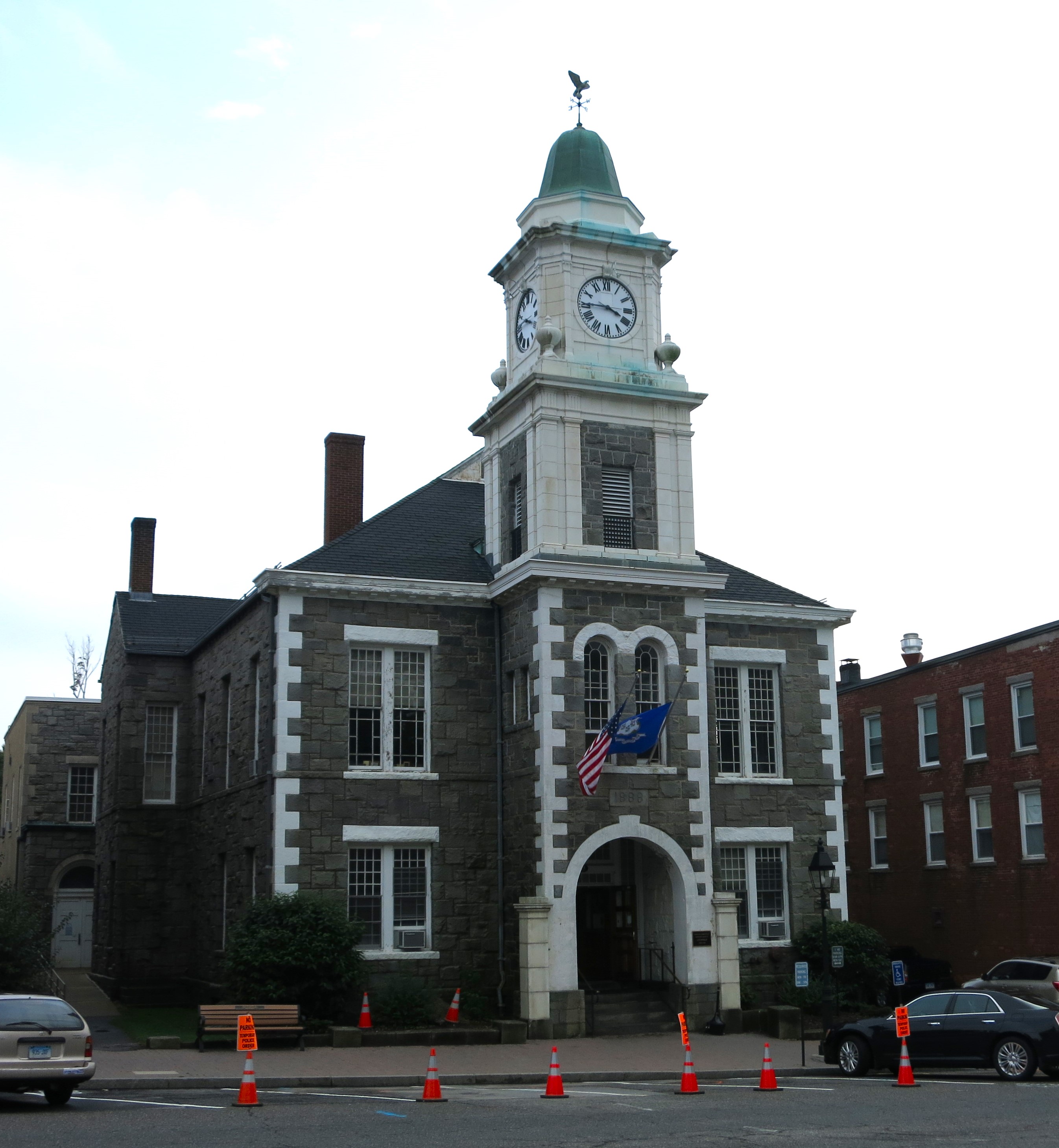
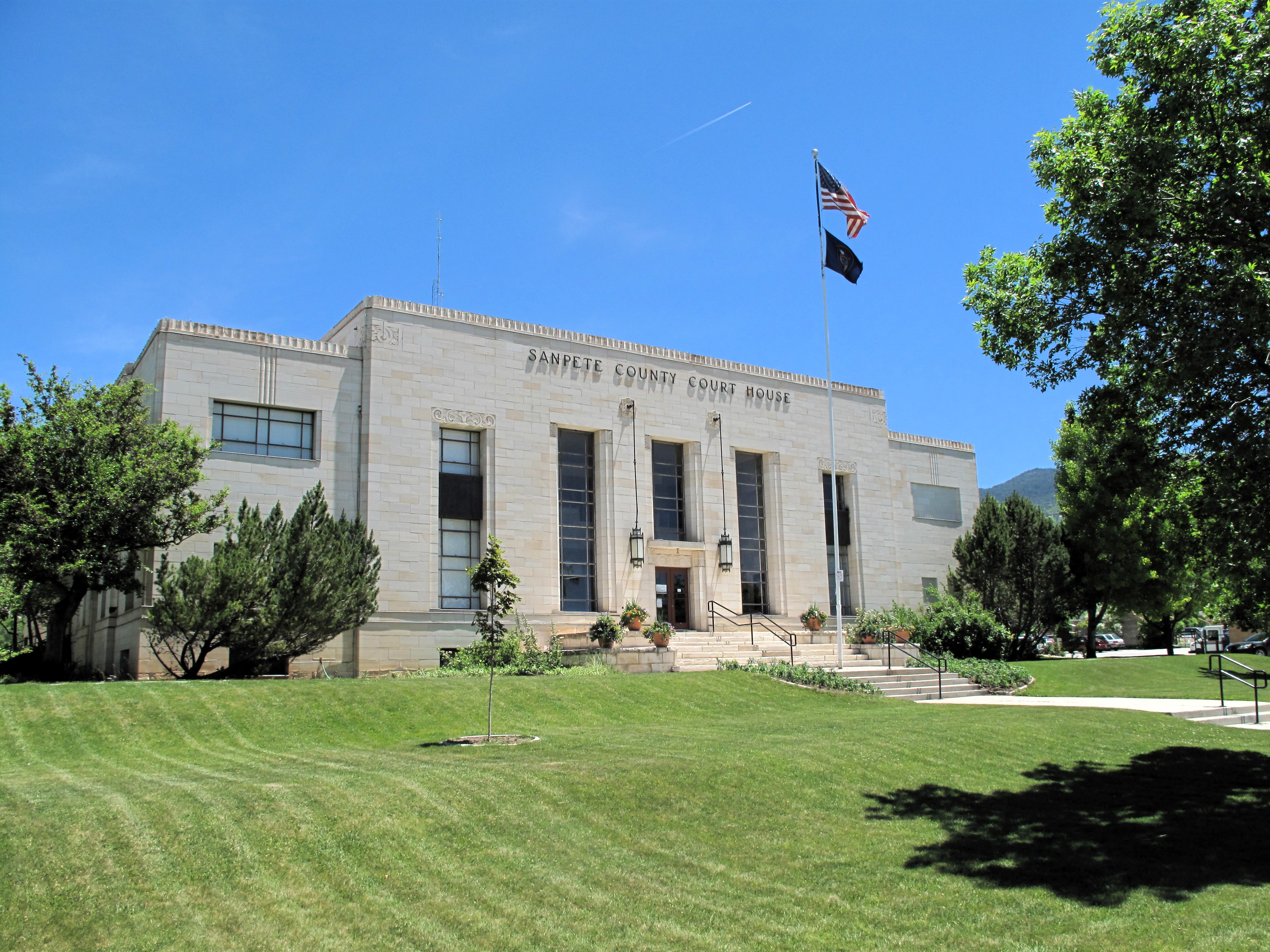
The Mitchell County Courthouse is new to the area. It was built in 2002, replacing an older structure in the center of town. The new building stands on a hilltop overlooking the city, but it wasn’t affected by the storm. The courthouse is a simple two-story red-brick structure with four faux columns at the front entrance. The words “In God We Trust” are more prominent on the building than the name “Mitchell County Courthouse.”
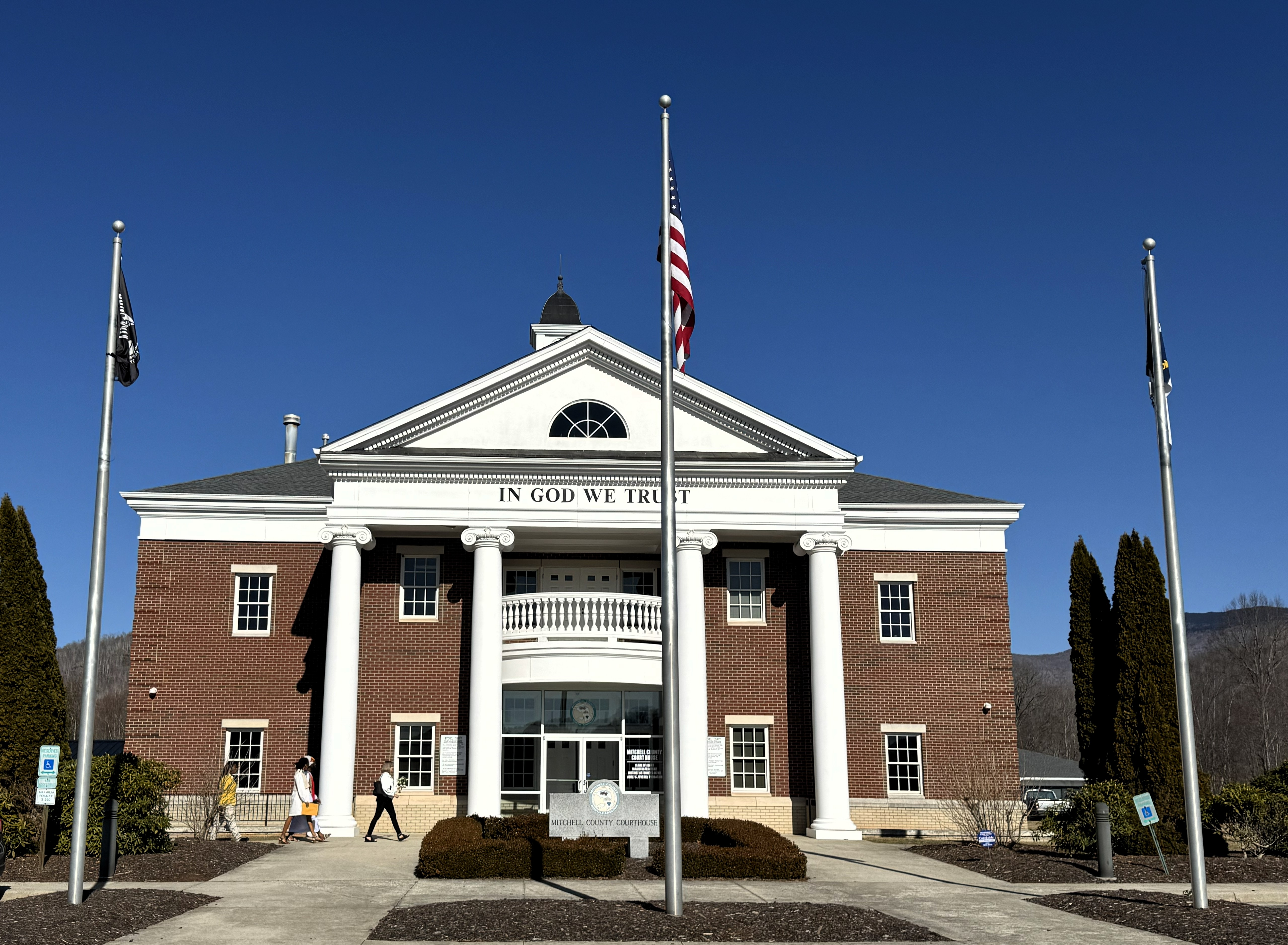
The security guard at the front door gave me a tour of the courthouse. He took me upstairs to the single courtroom that takes up most of the second floor. Everything is pretty new and clean. I noticed they had laid out more than a dozen Bibles in a row near the front of the room so that when a grand jury was empaneled, each of the 20 jurors would have a separate Bible upon which to swear their oath.
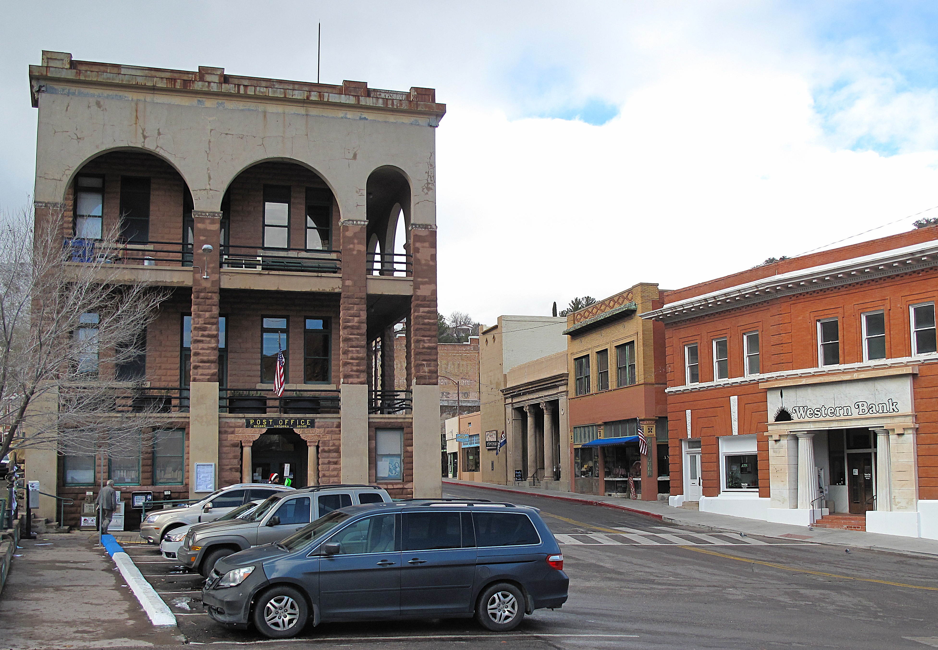
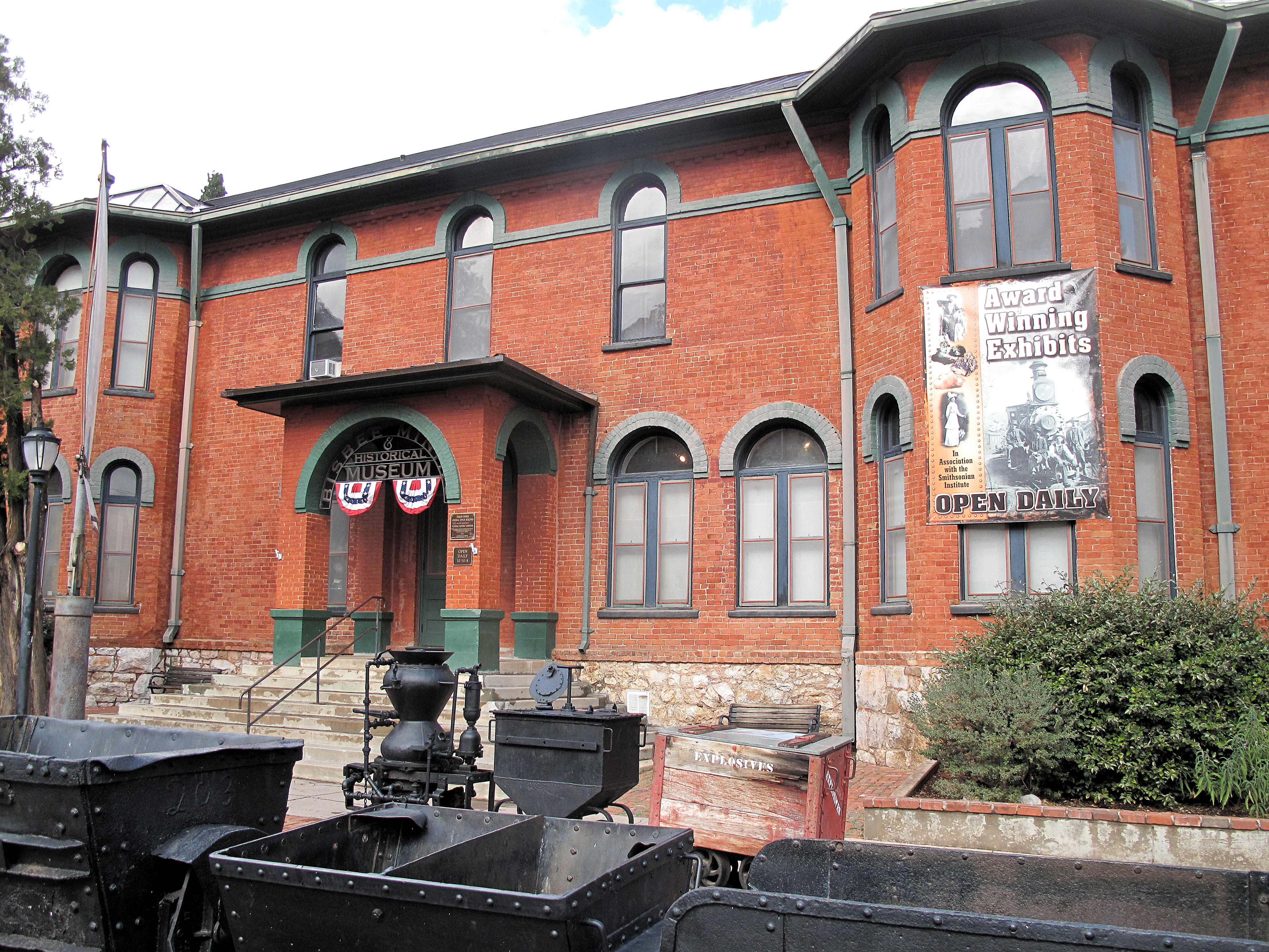
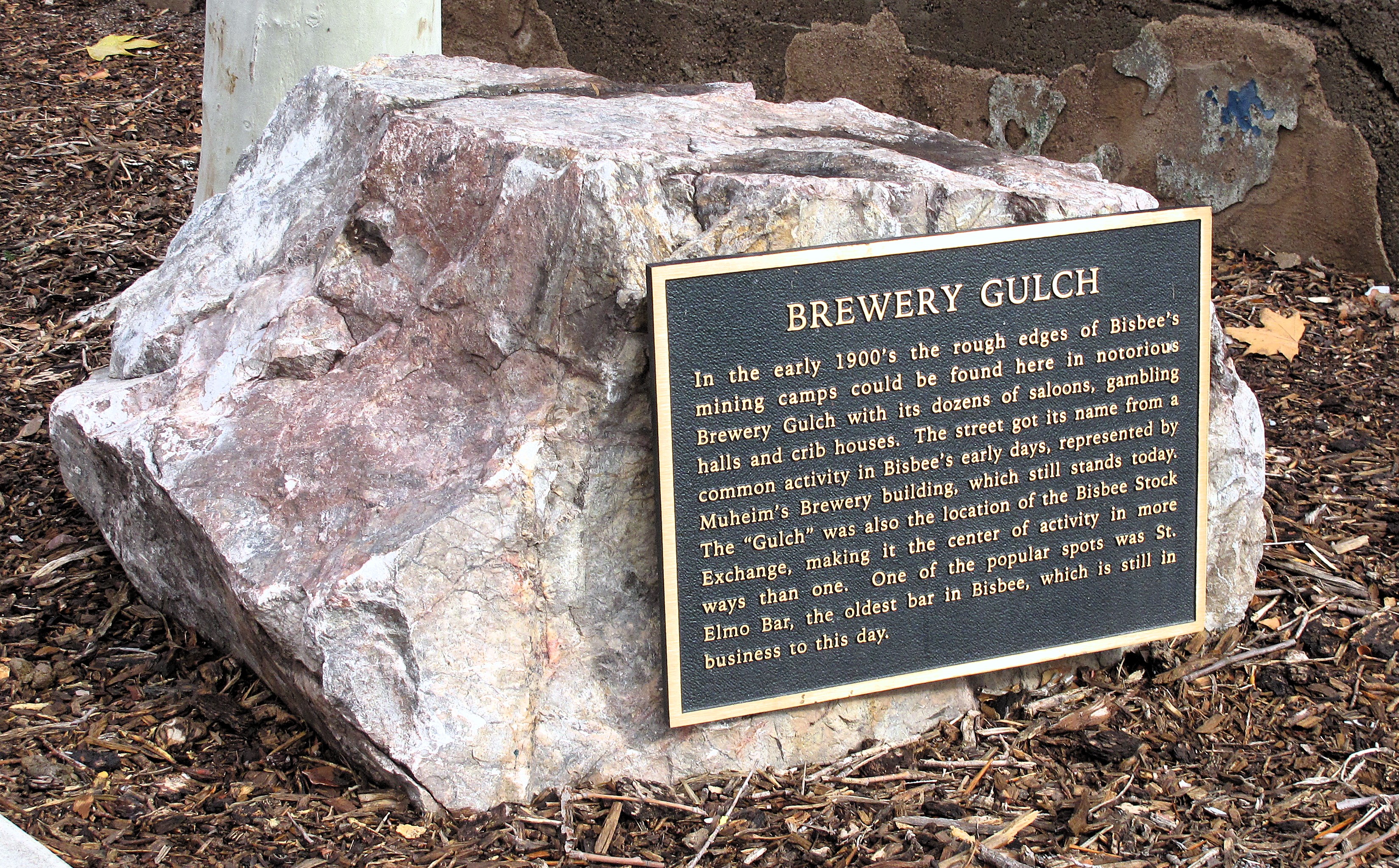
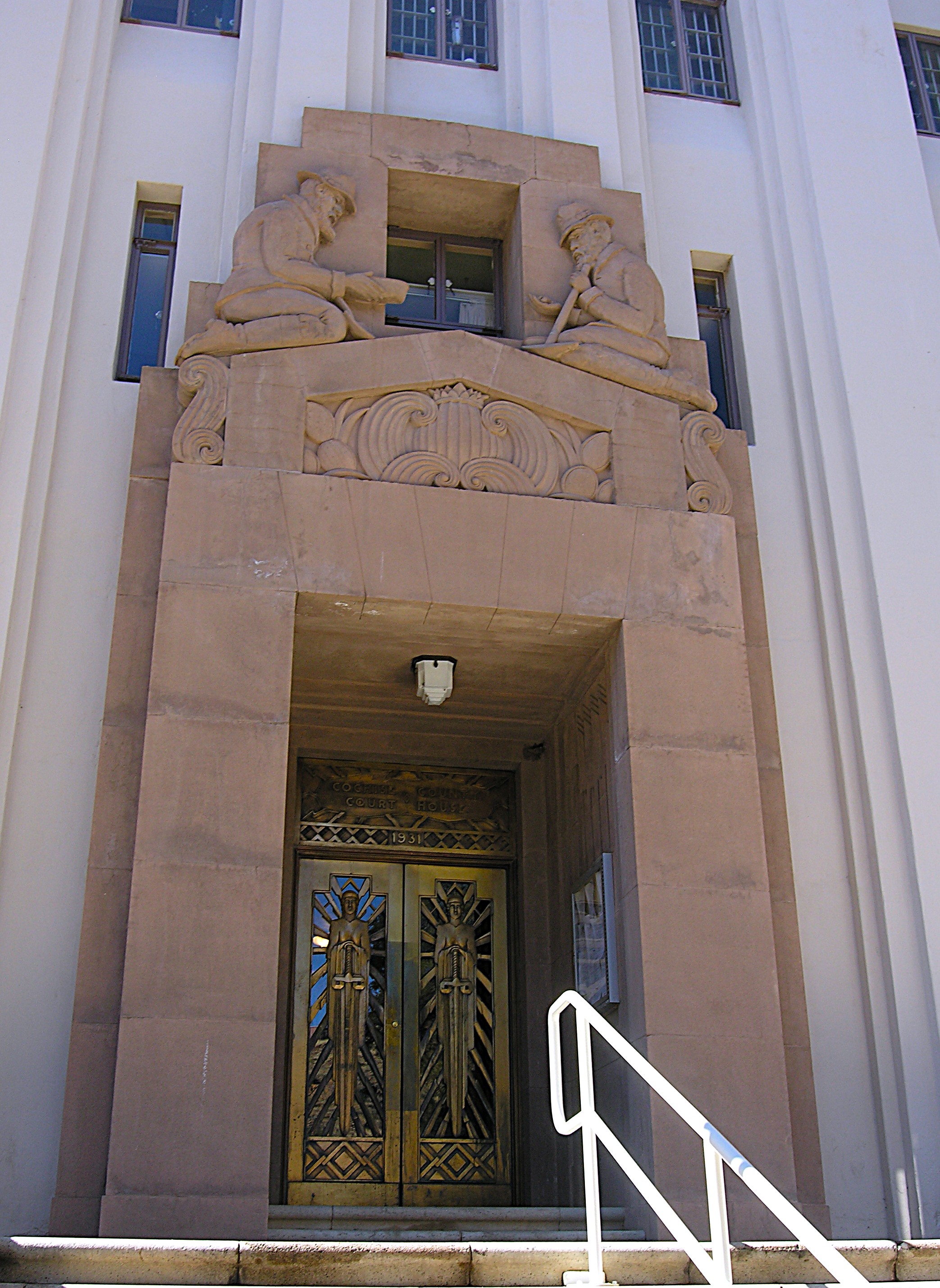
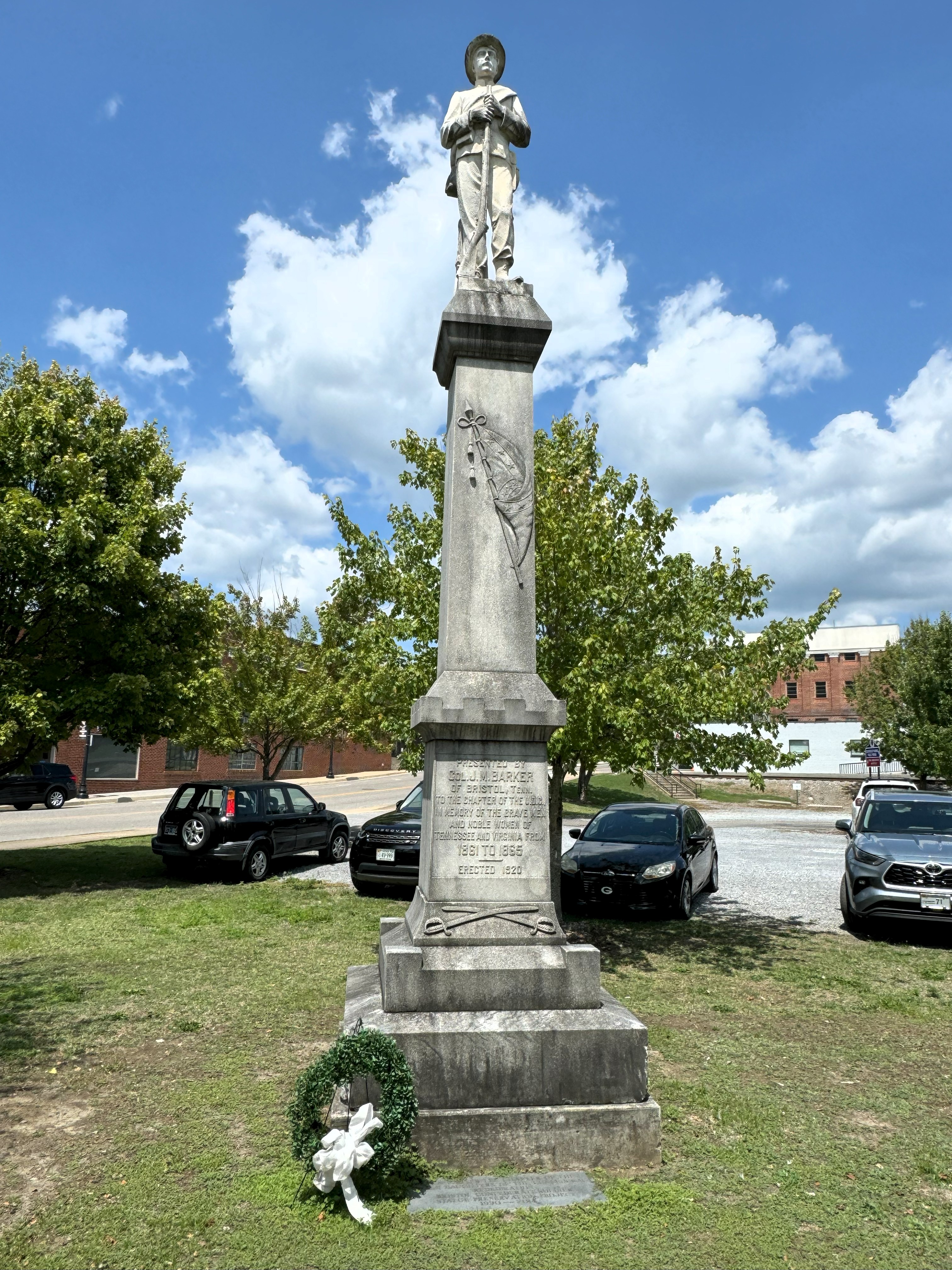
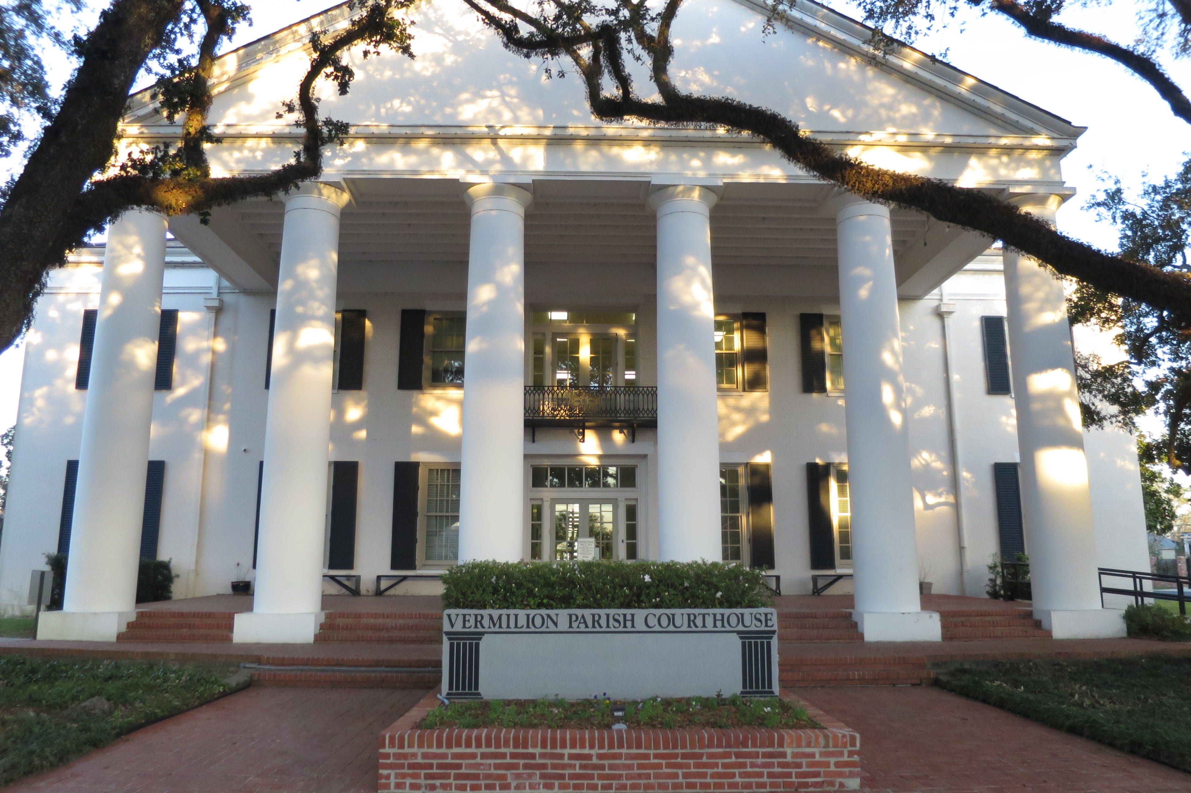
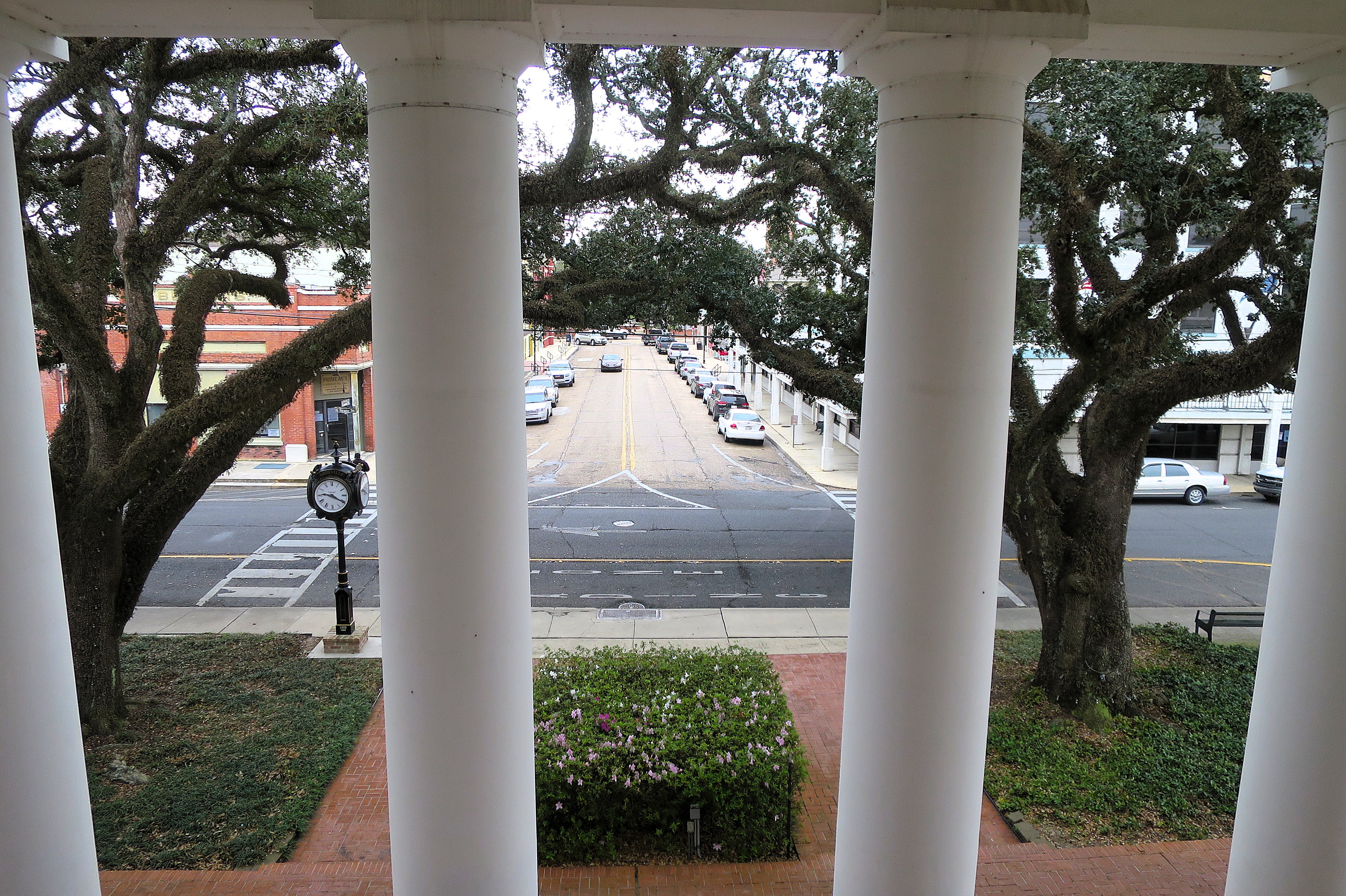
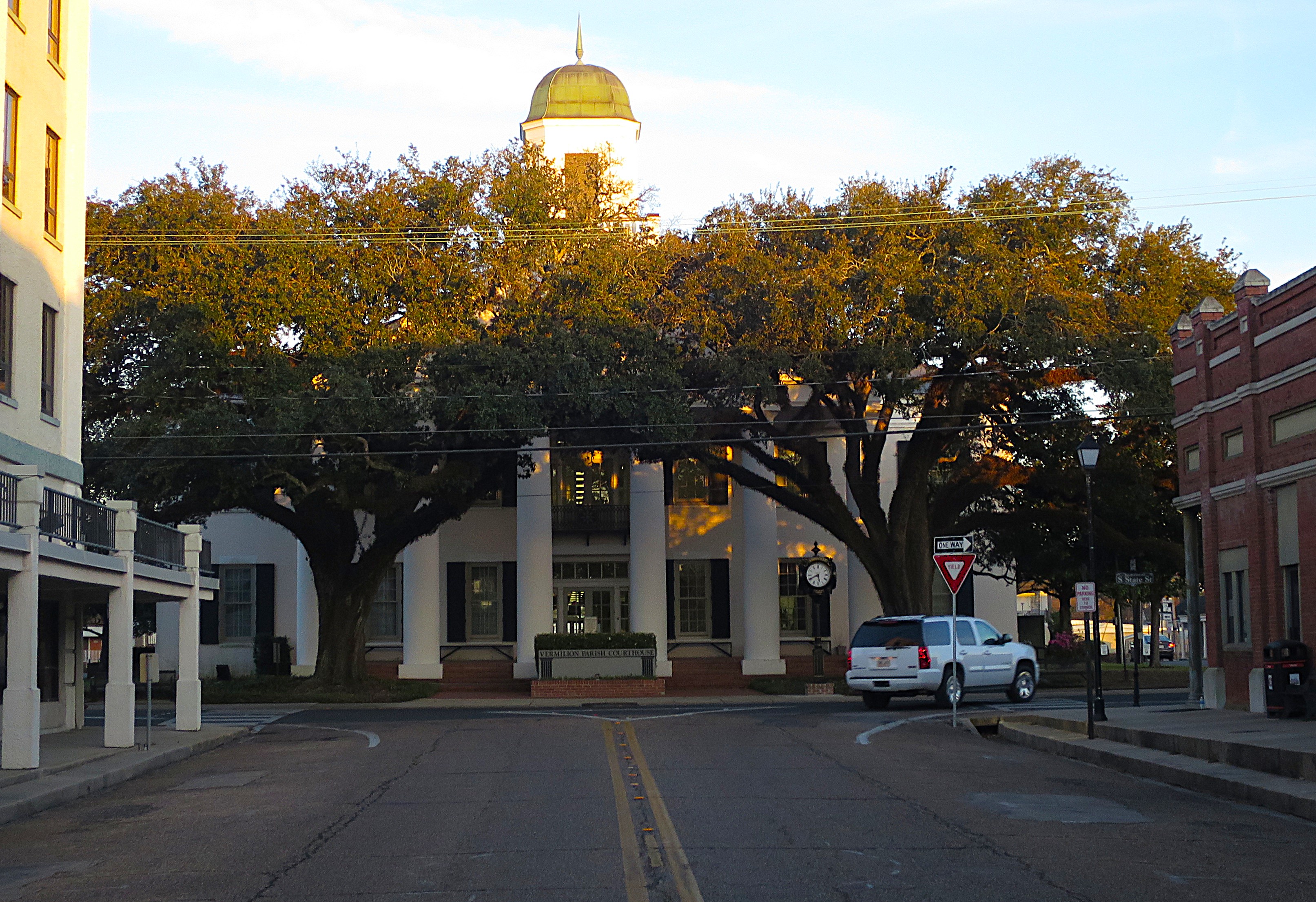
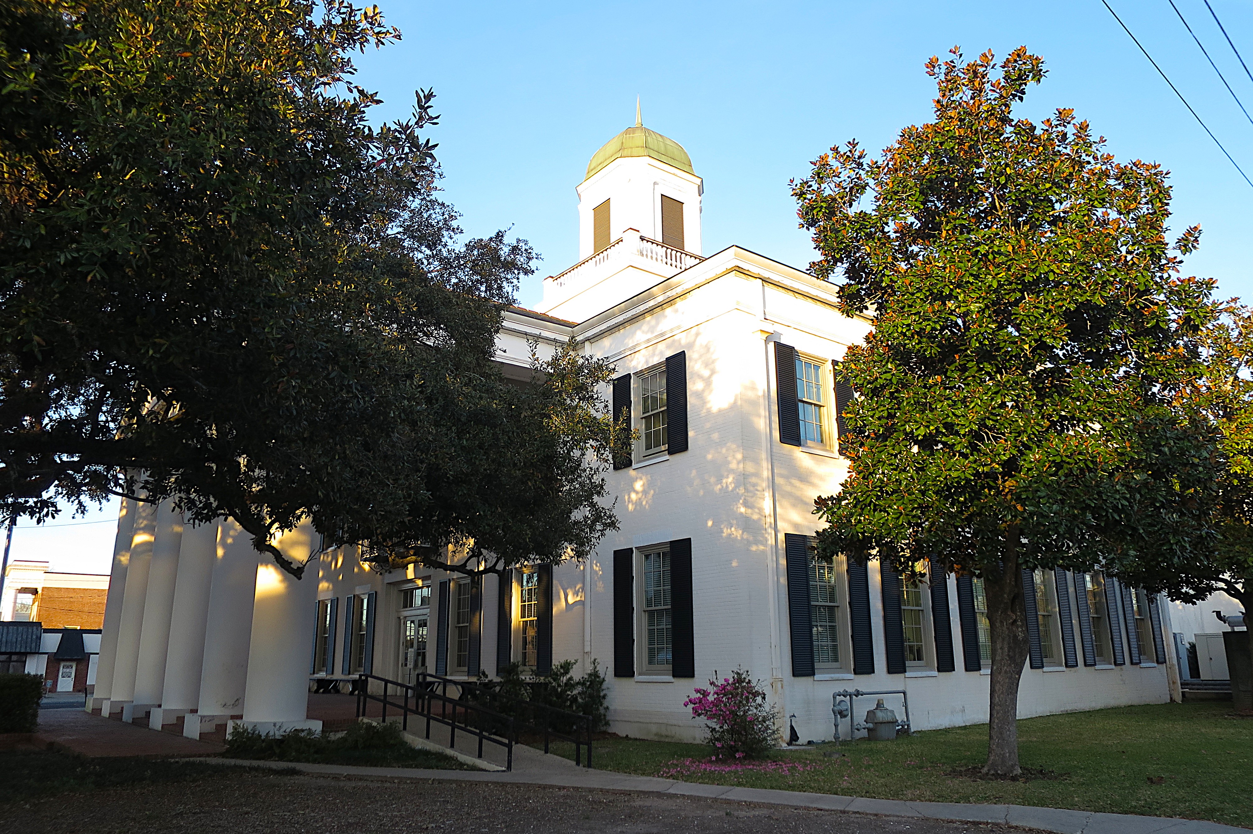
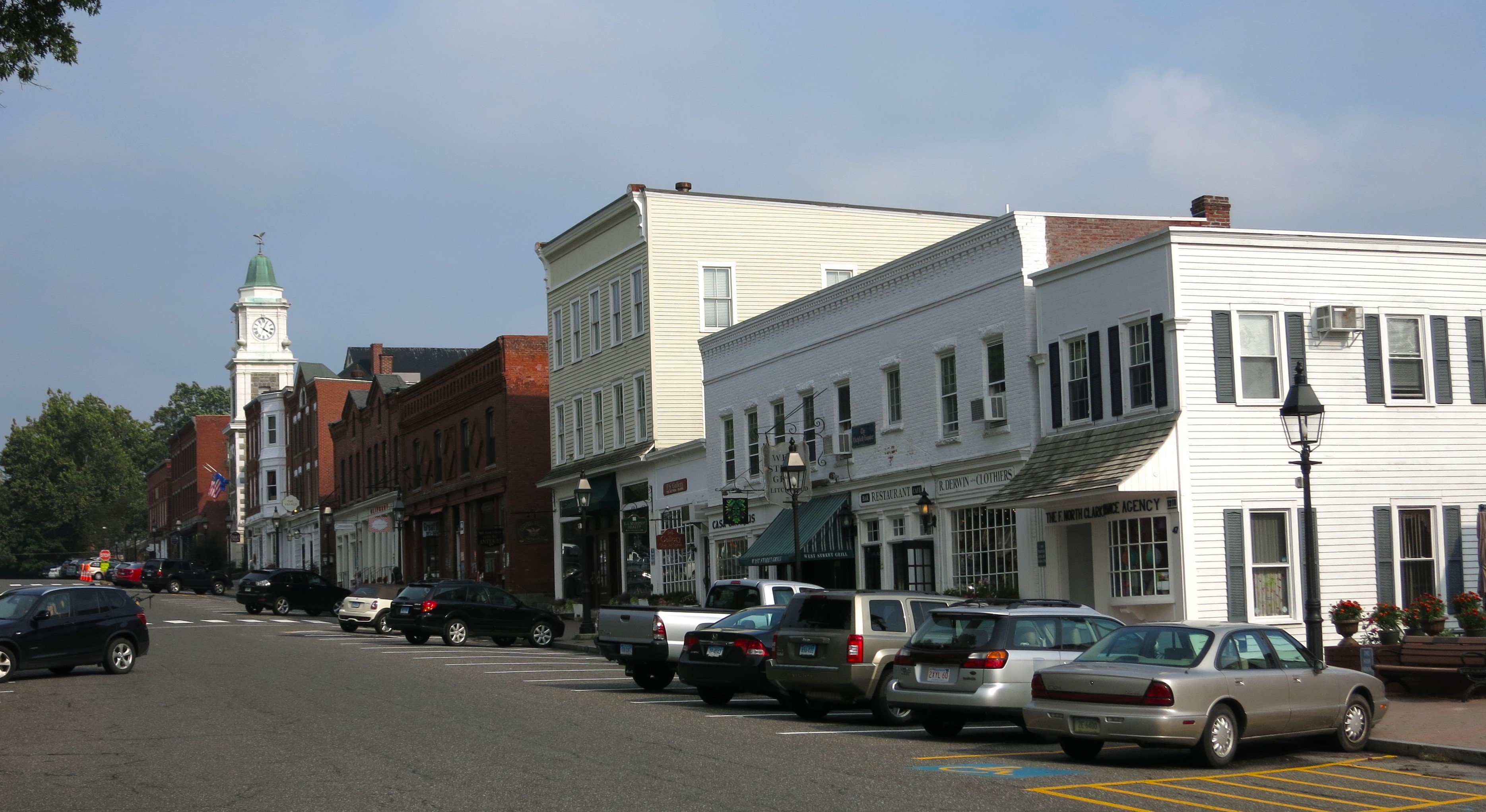
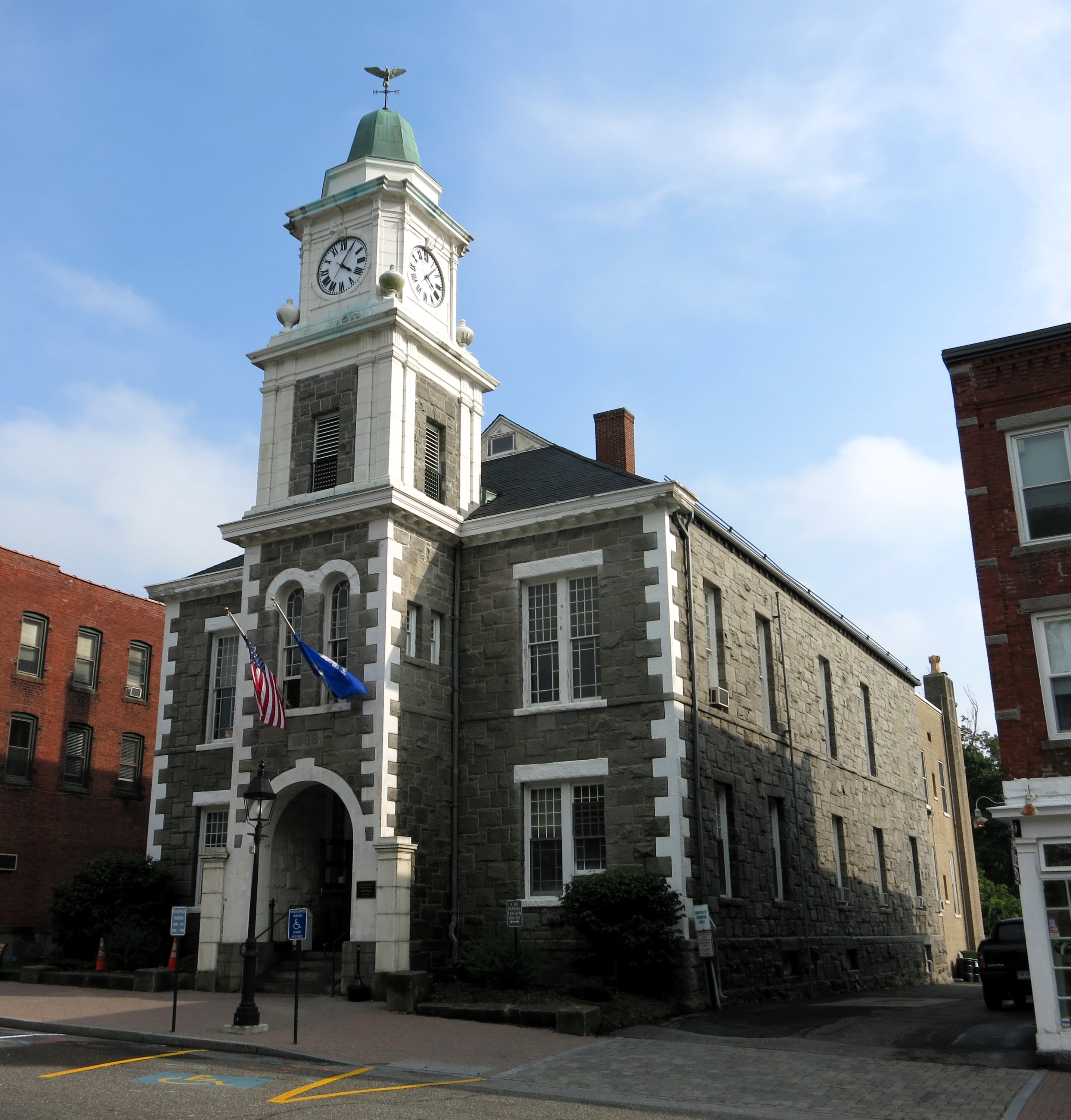
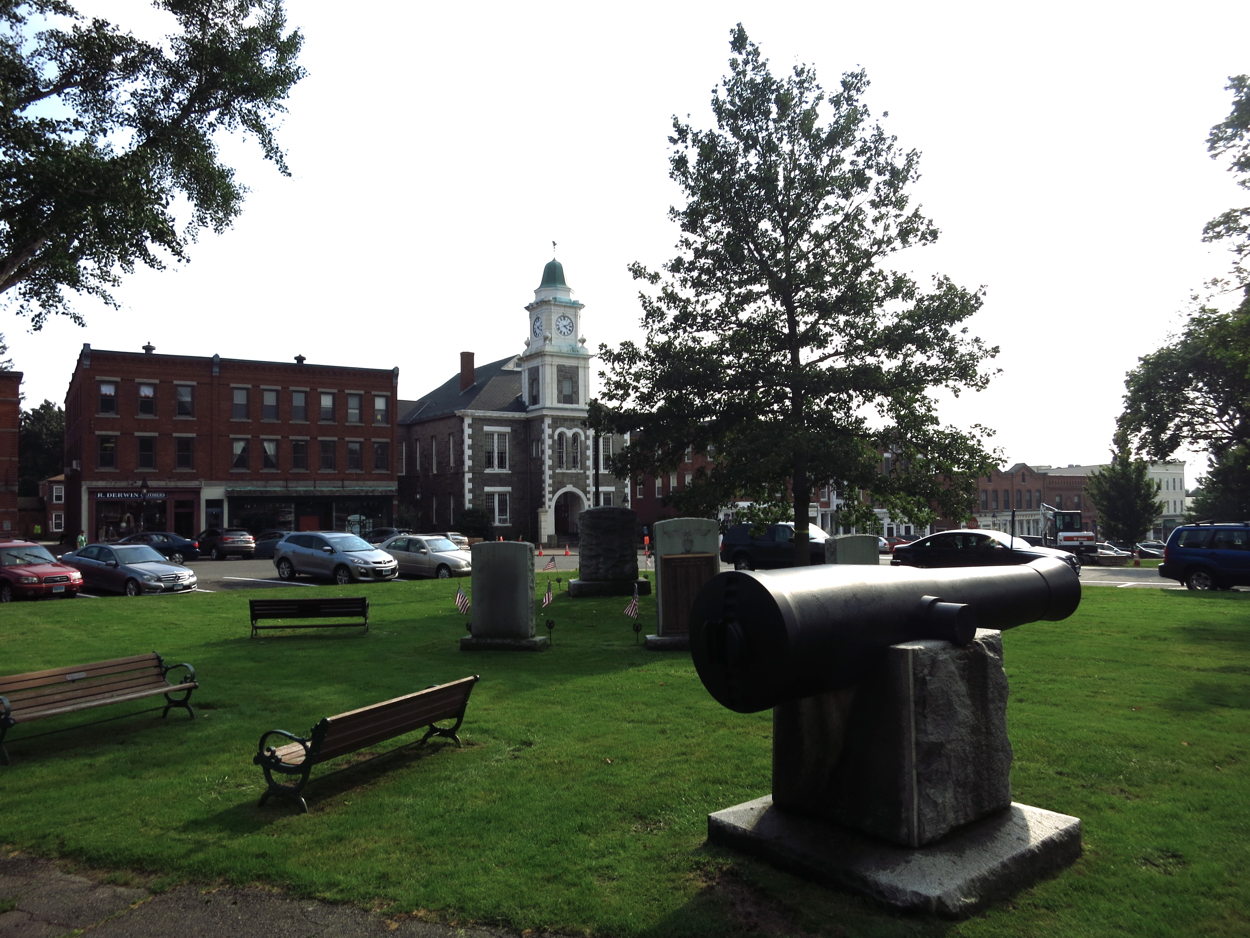
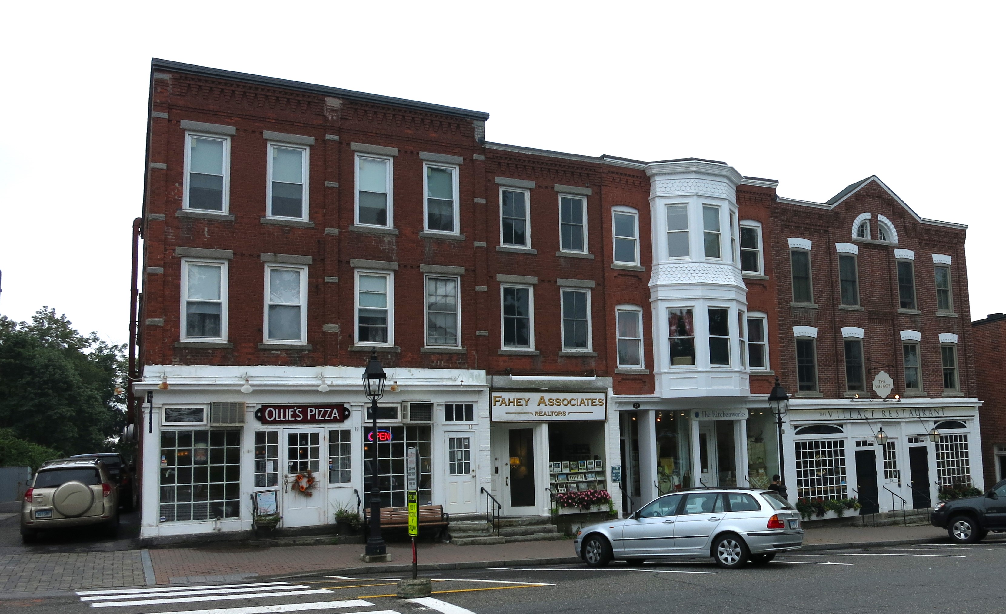
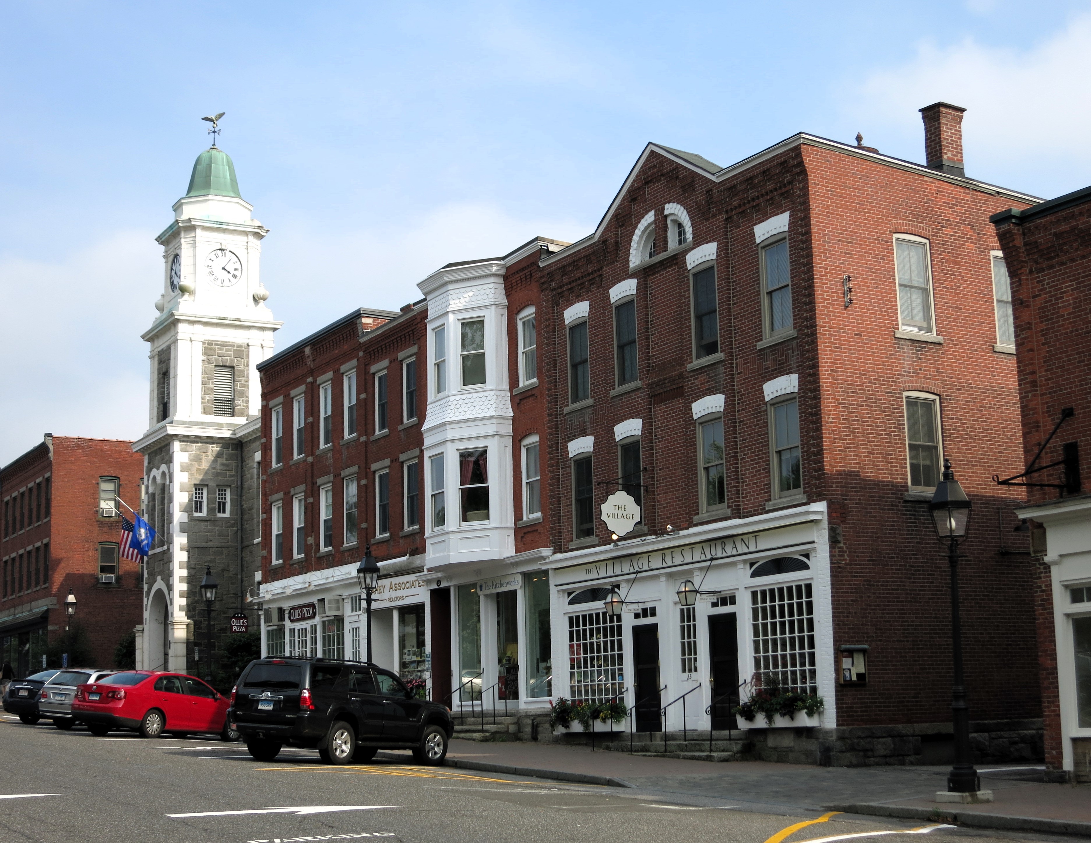
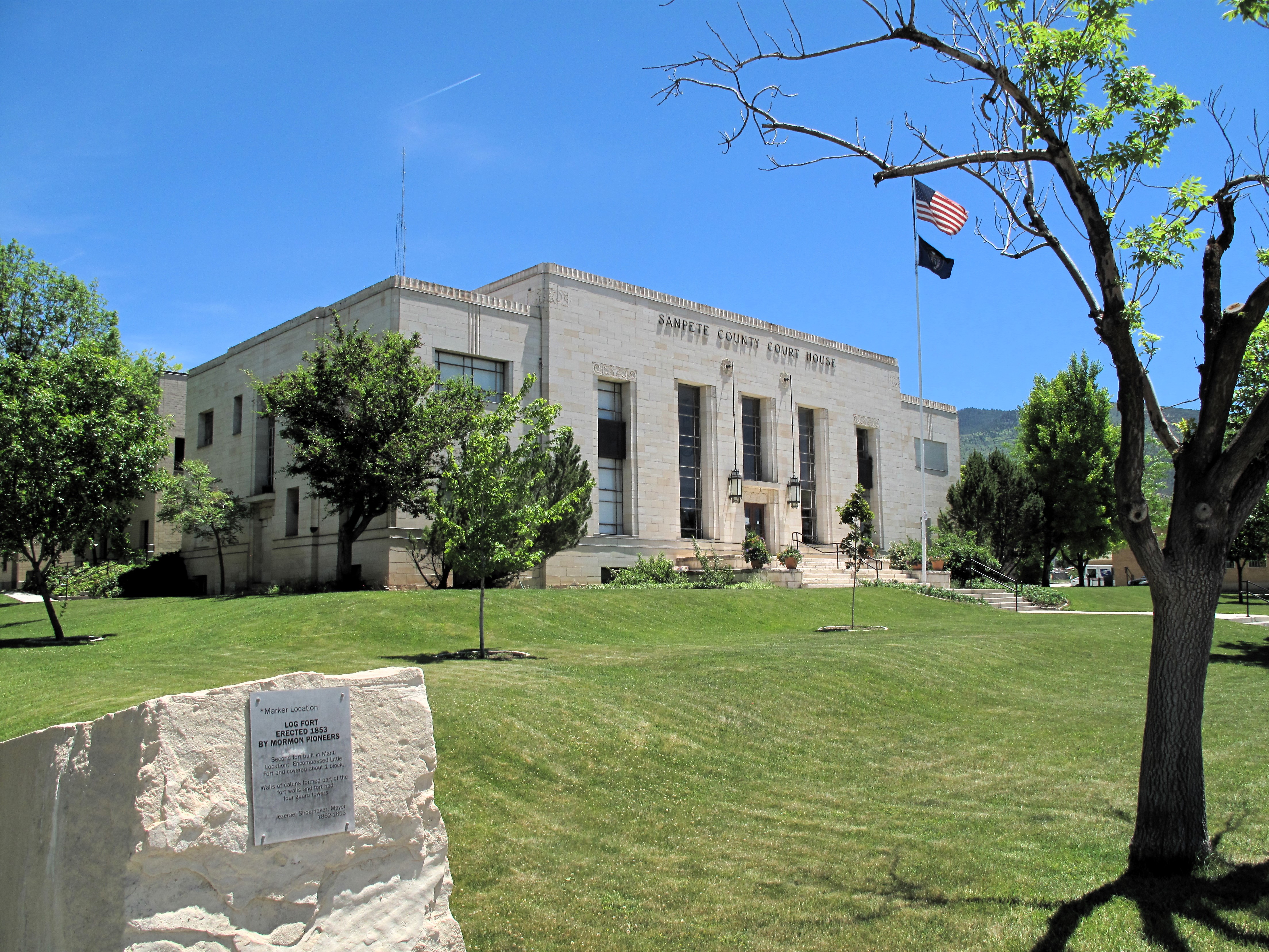
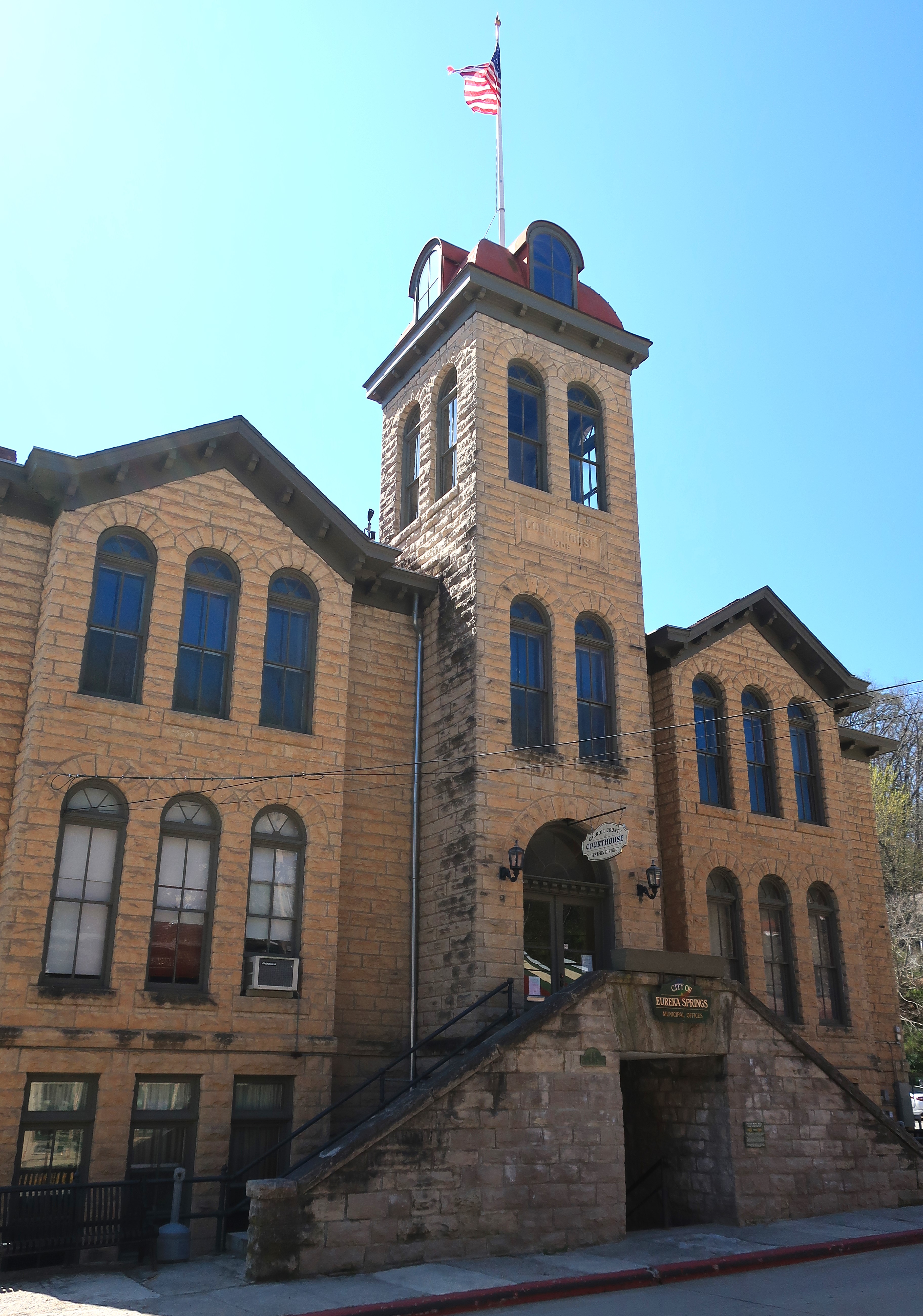
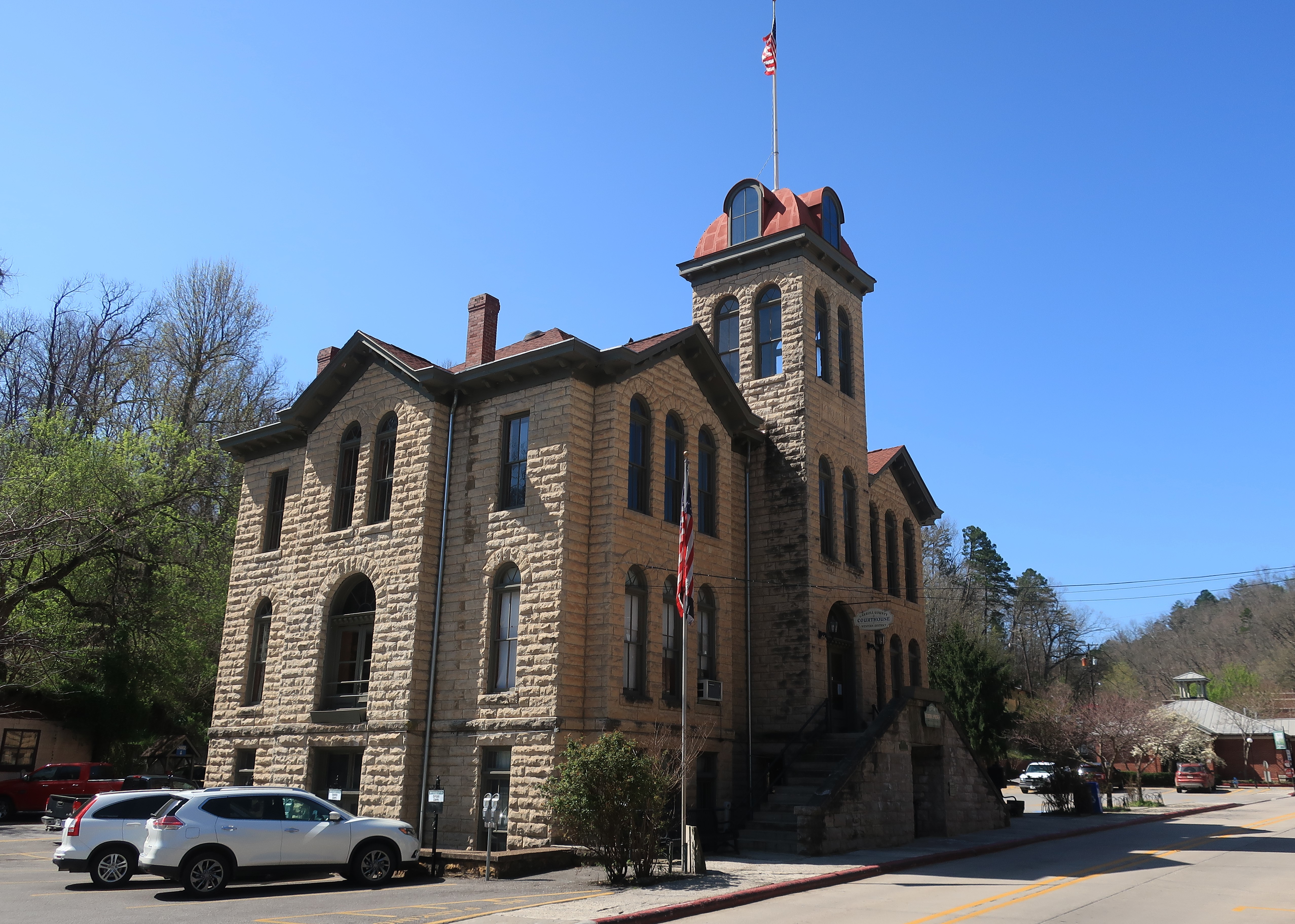
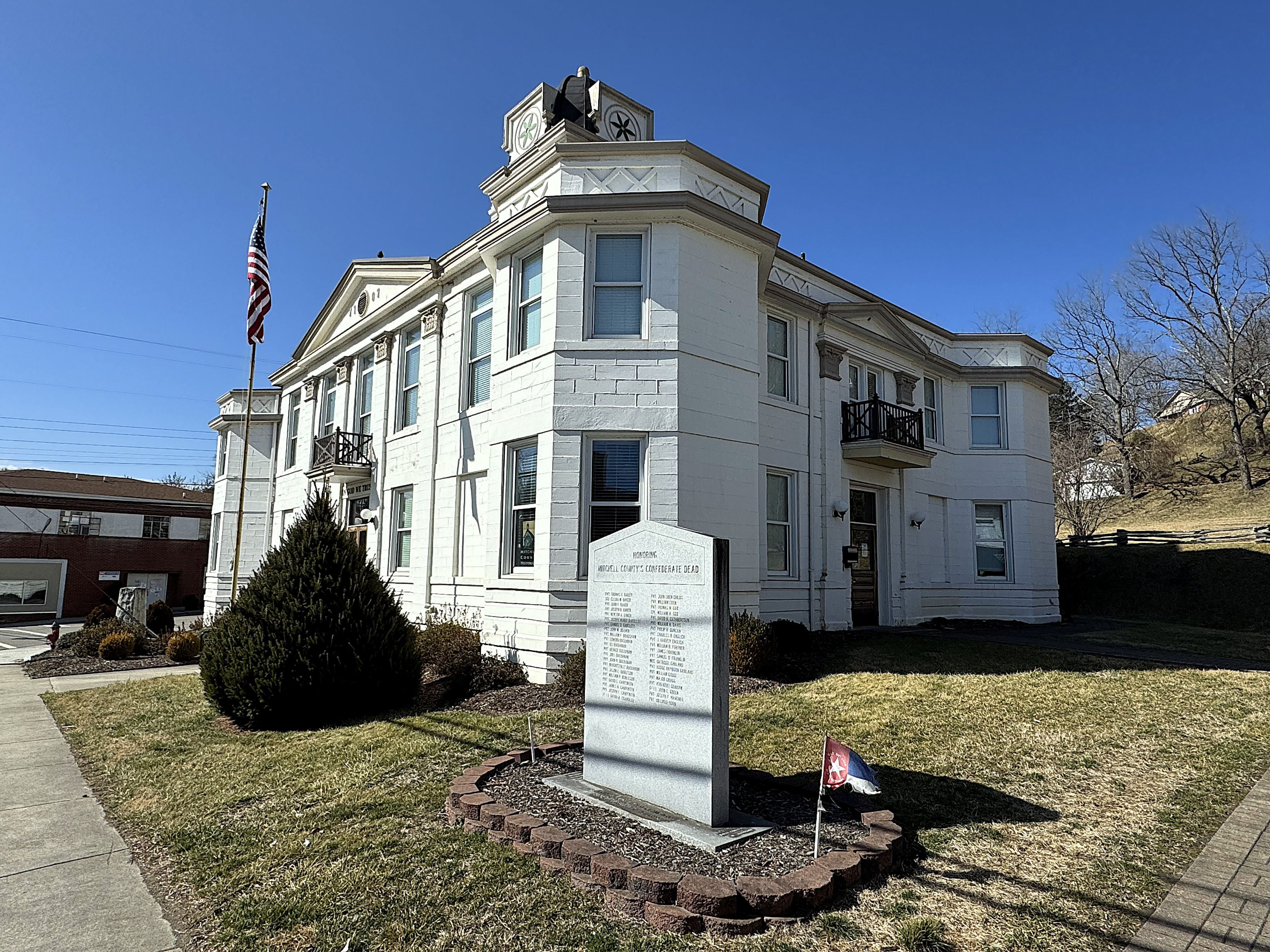
Next, I went down the hill to the center of Bakersville. This is such a small place. A few roads cross each other down here. On one corner is the 1907 Mitchell County Courthouse, which now houses a few county offices. The building is listed on the National Register of Historic Places.
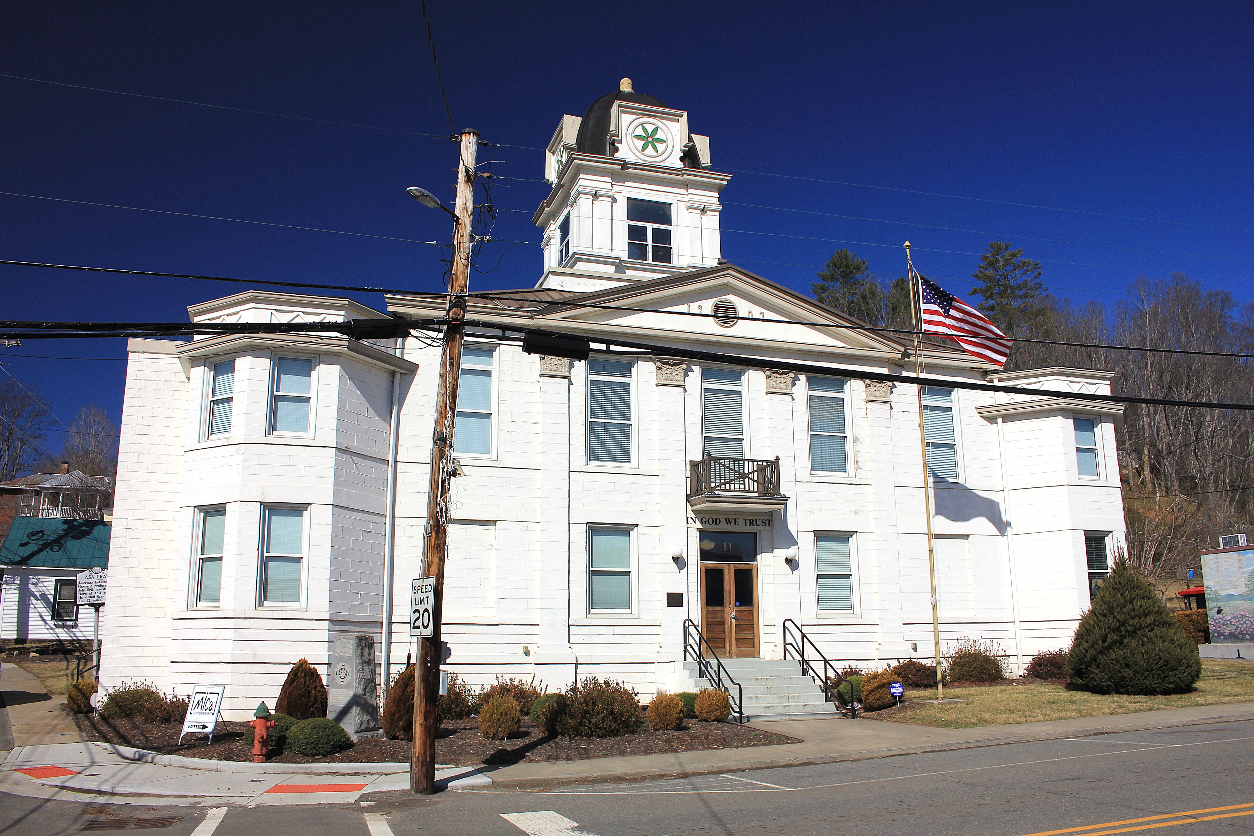
Although some North Carolina (and Tennessee) mountain counties resisted the Confederacy, I found a large gray tablet on the grounds of the old courthouse listing the county’s Confederate dead. Let people honor their ancestors, I say.
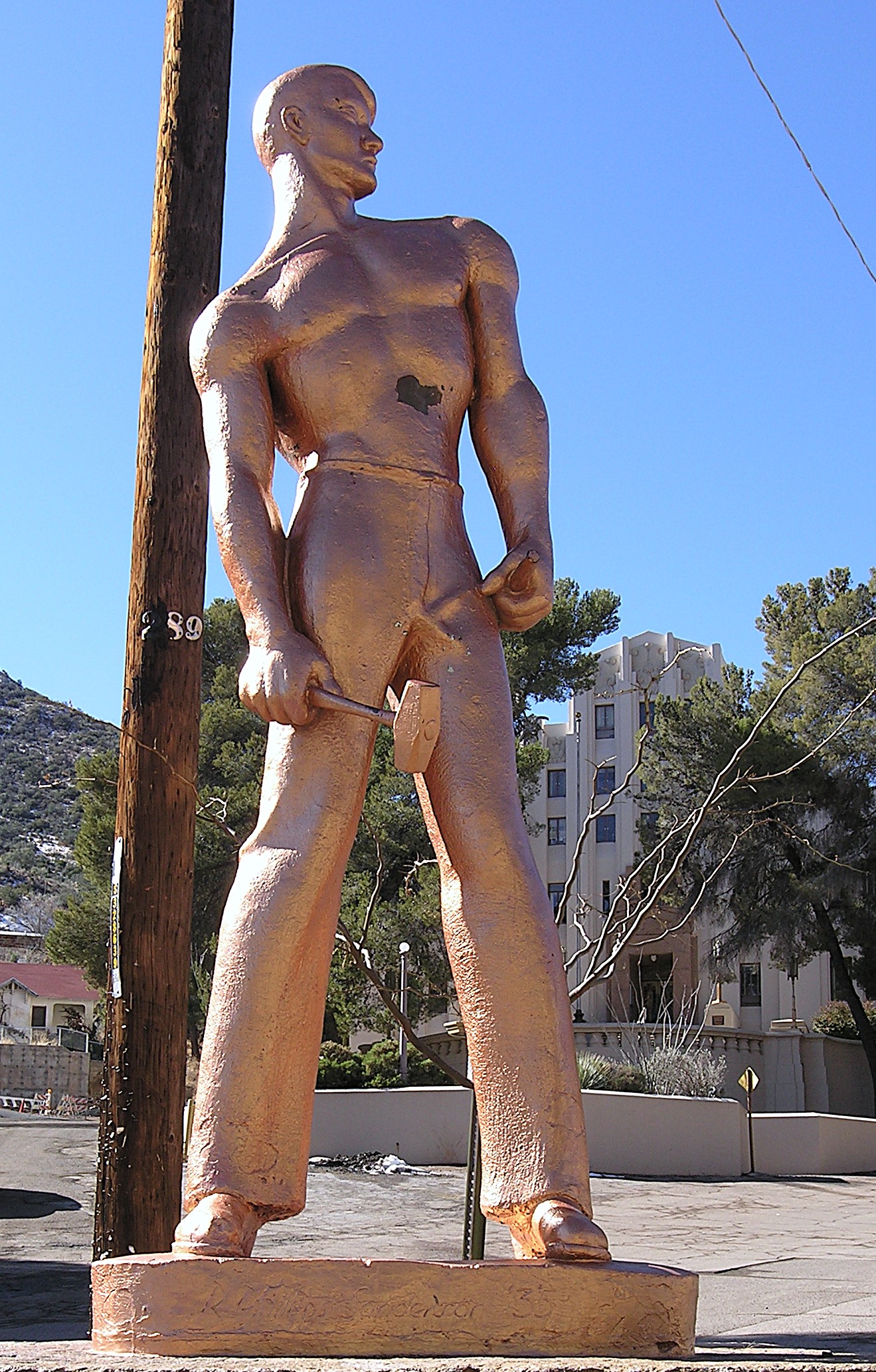
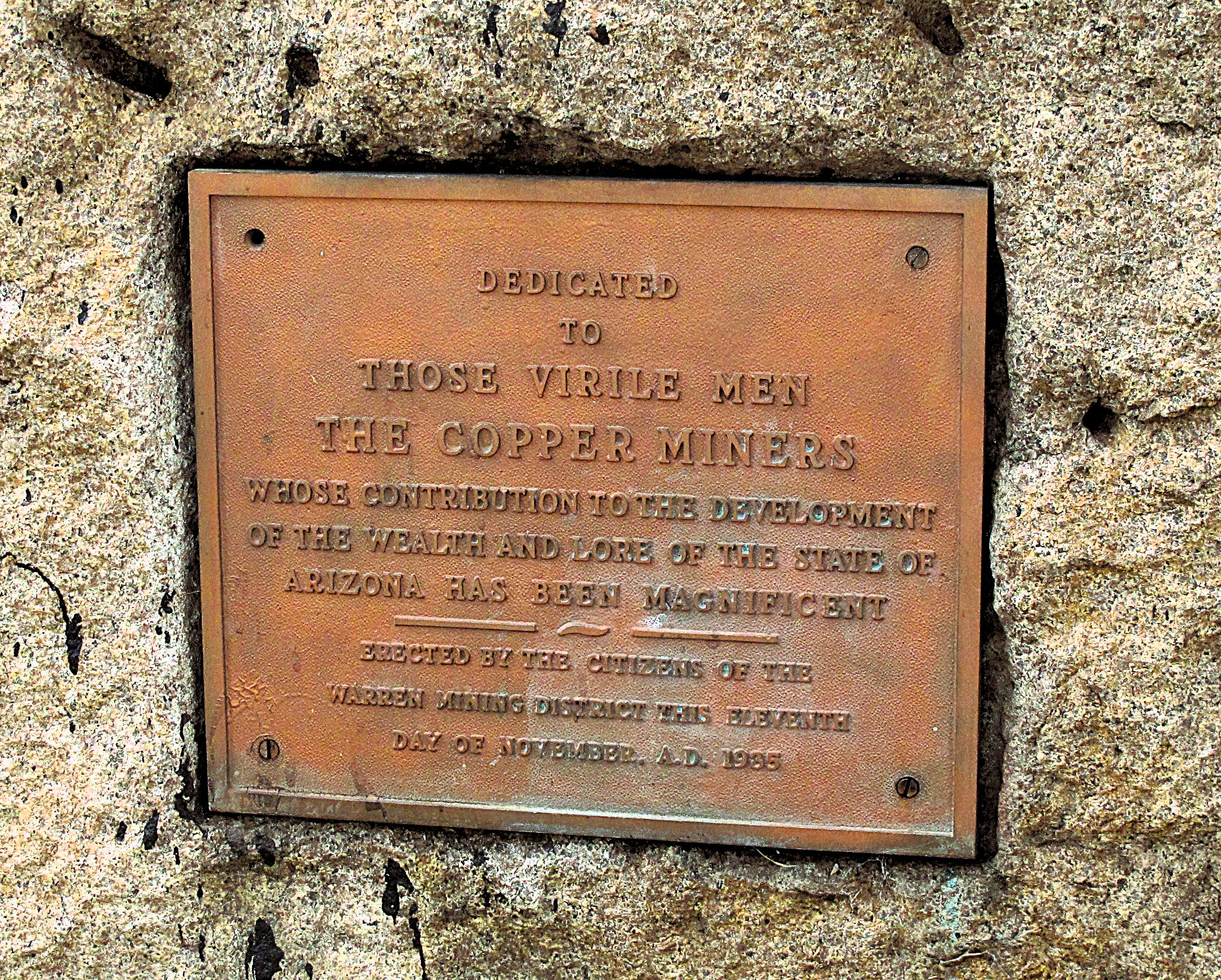
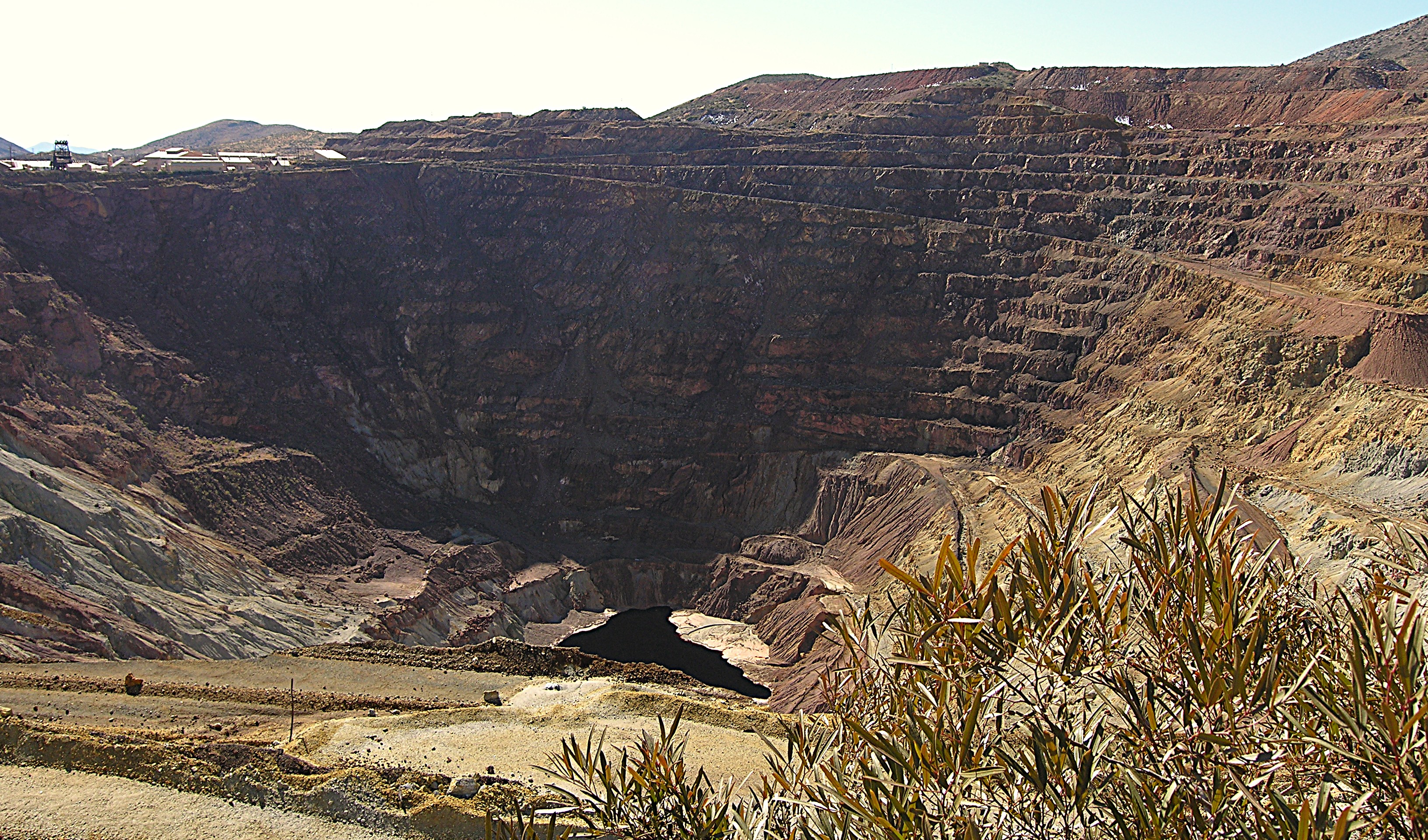
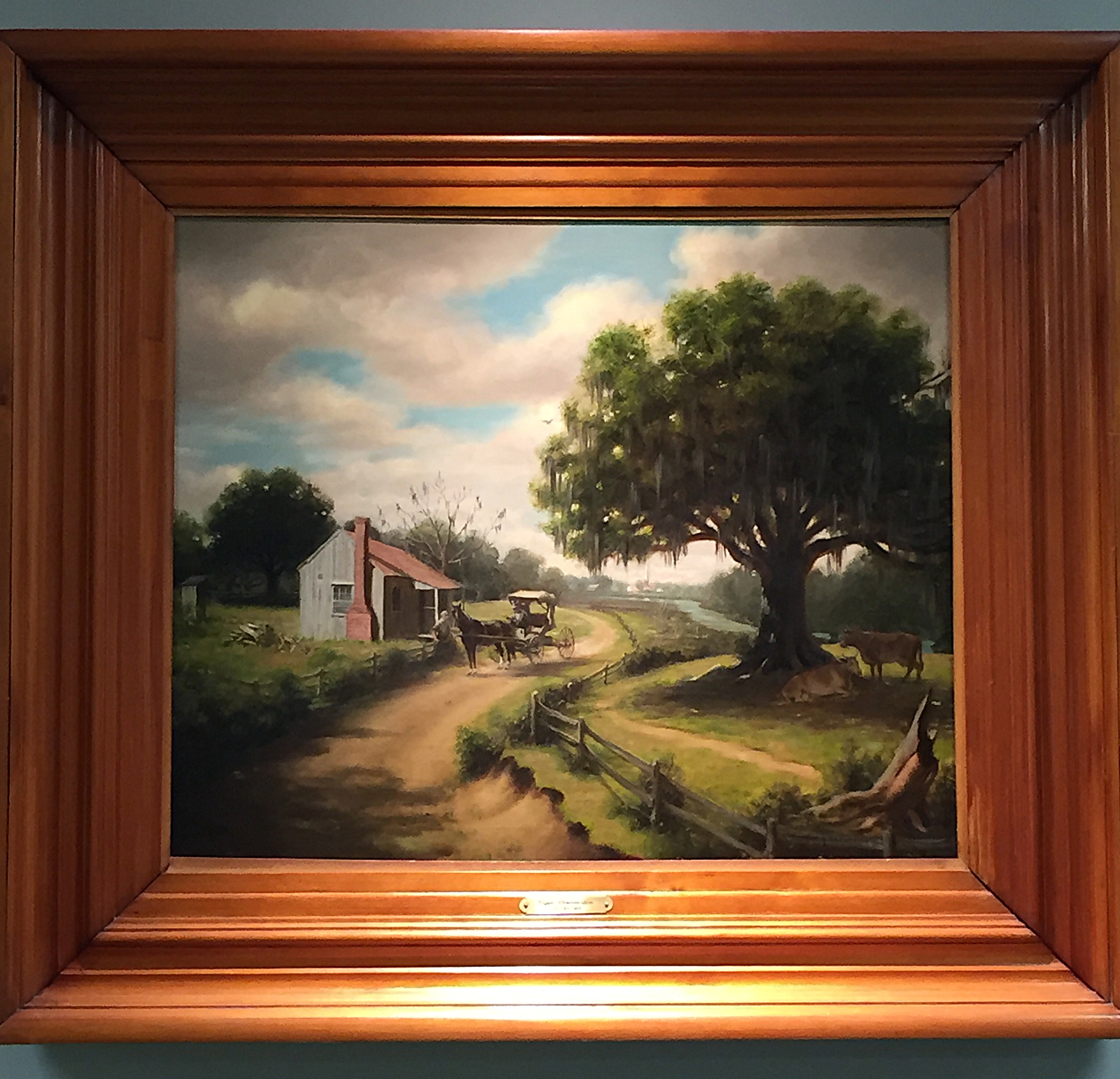
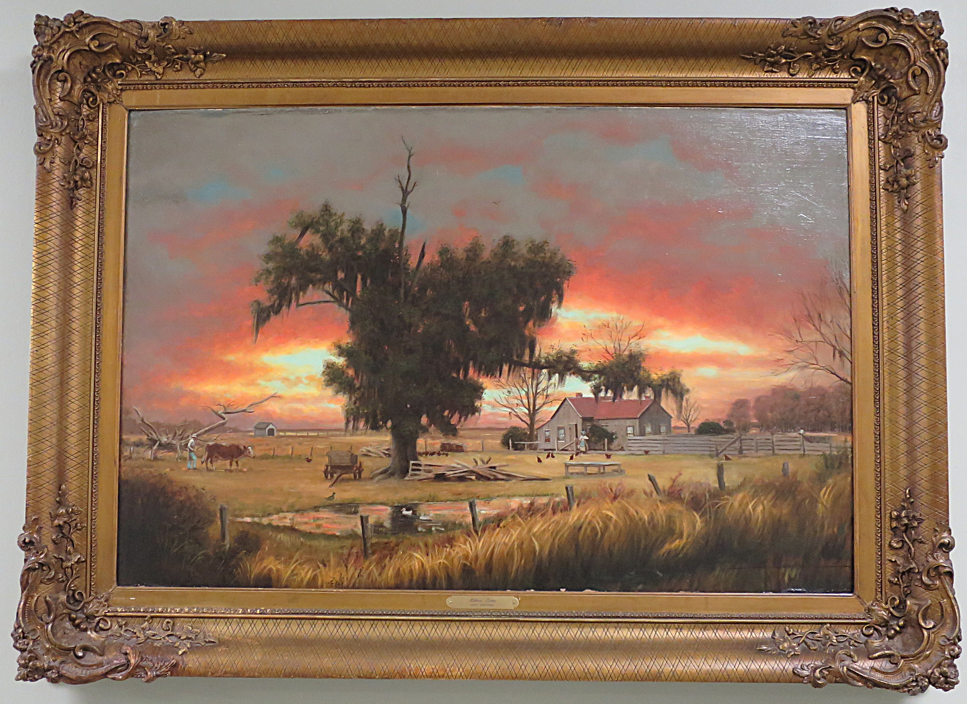
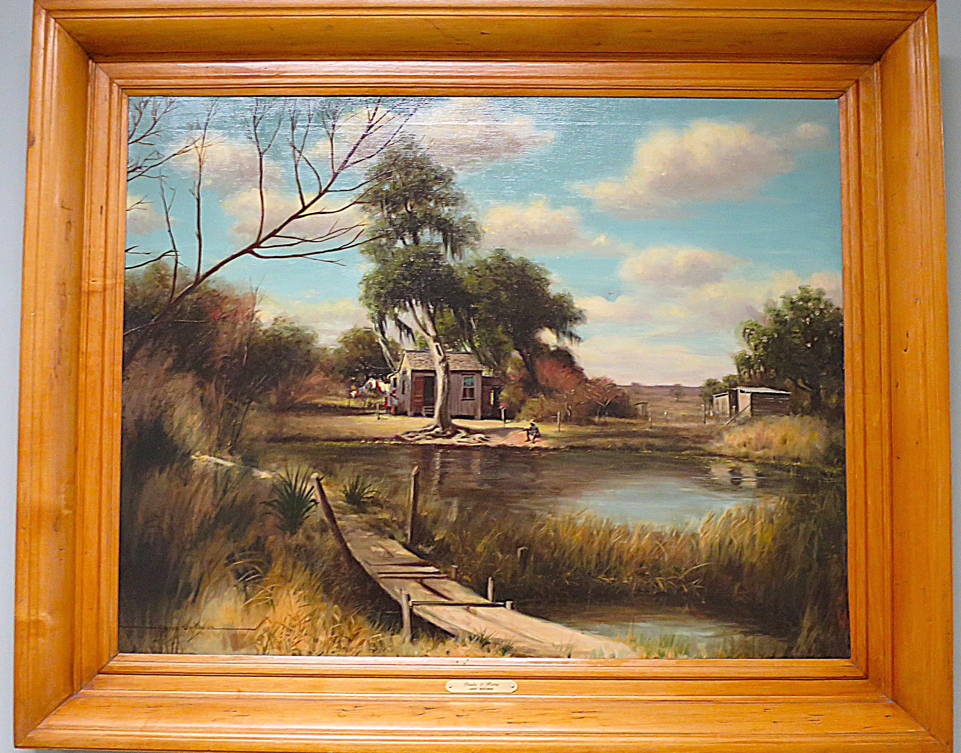
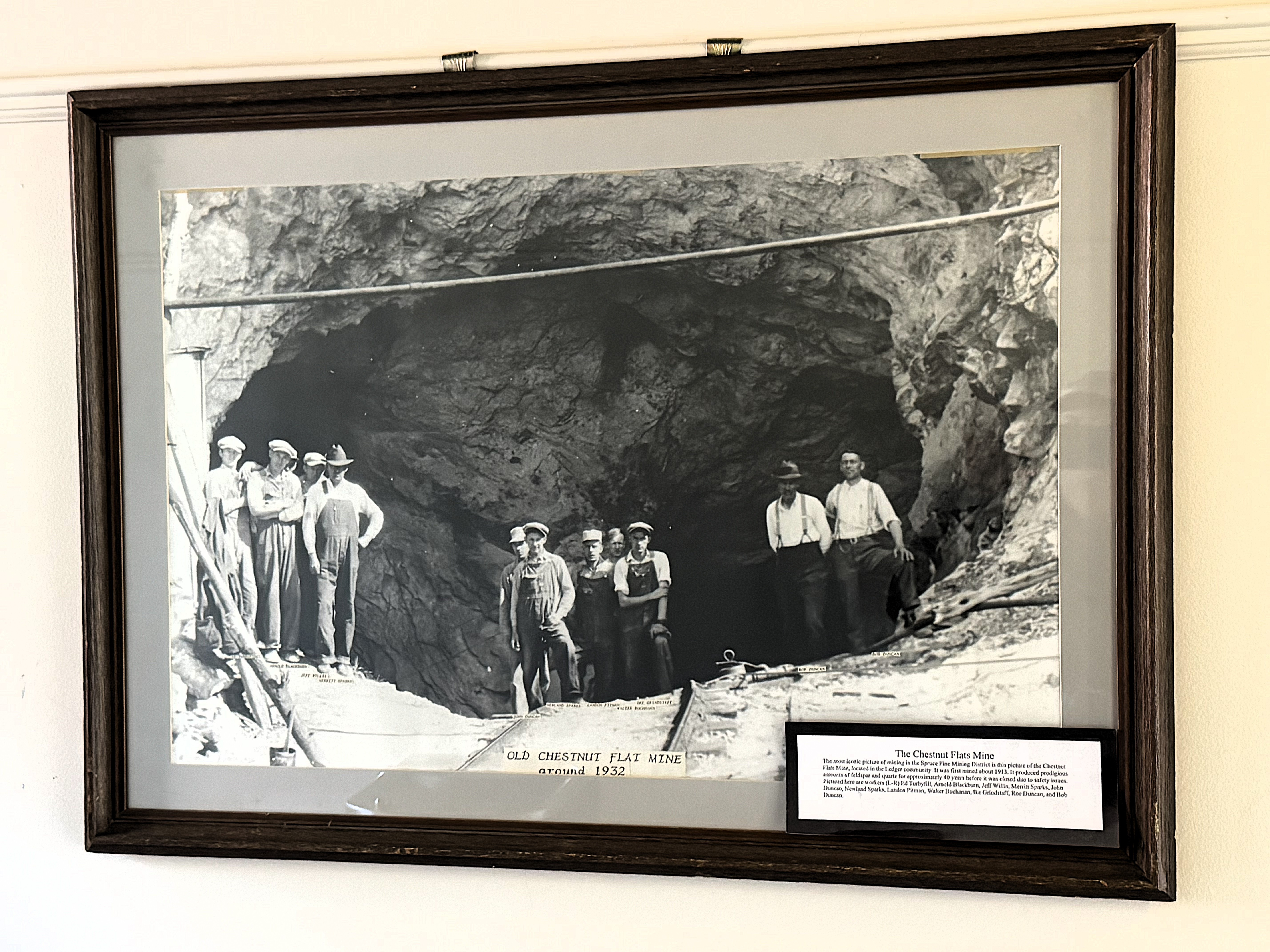
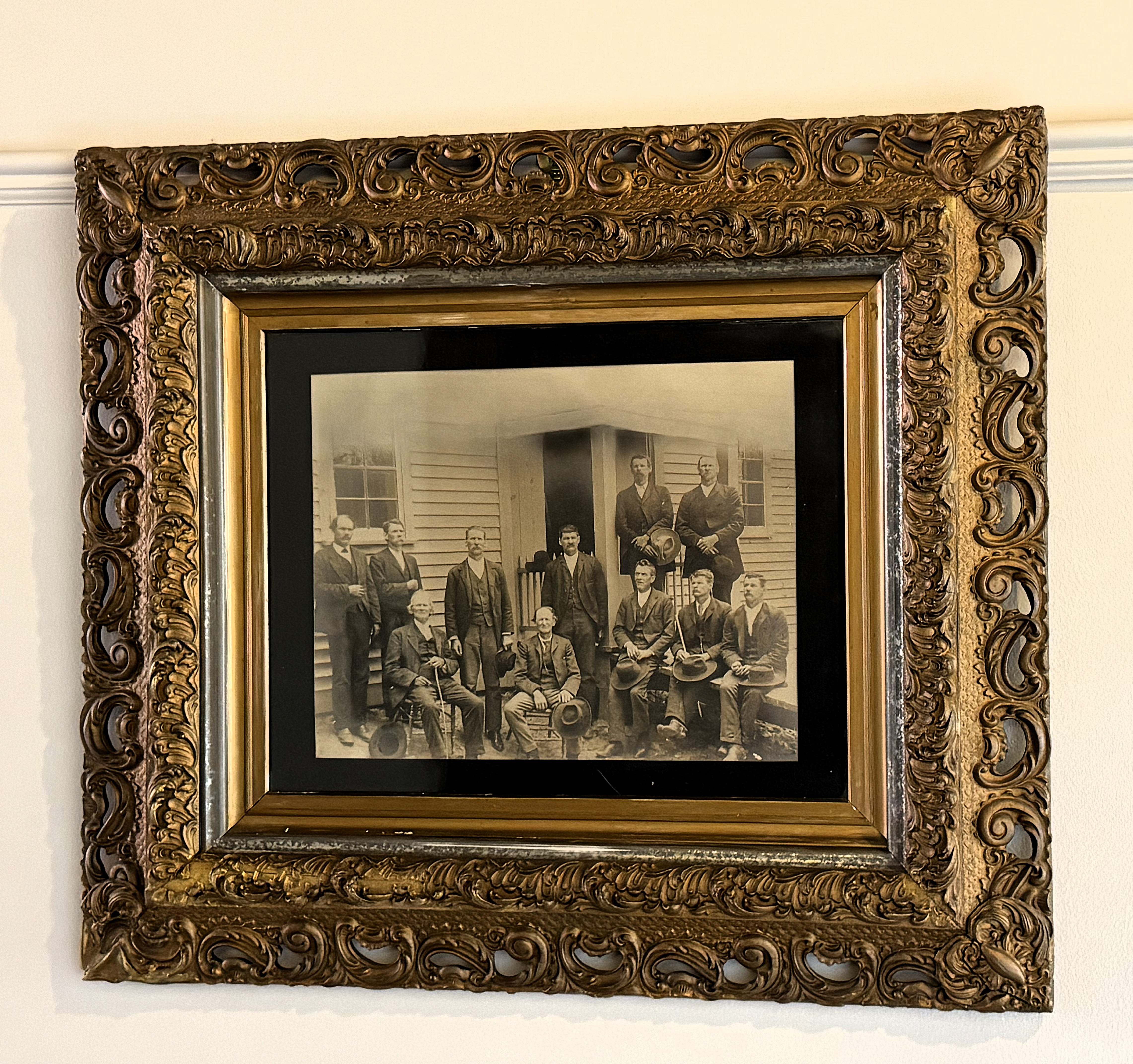
Inside the old courthouse, I marveled at pictures of old mines in the county, dating back to the 1930s and earlier. Mitchell County has long been a center for mining quartz, feldspar, and other rare minerals. The nearby Spruce Pine Mining District (within Mitchell County) is one of the largest sources of high-quality quartz, used for the manufacture of integrated circuits which are essential to the high-tech industry.
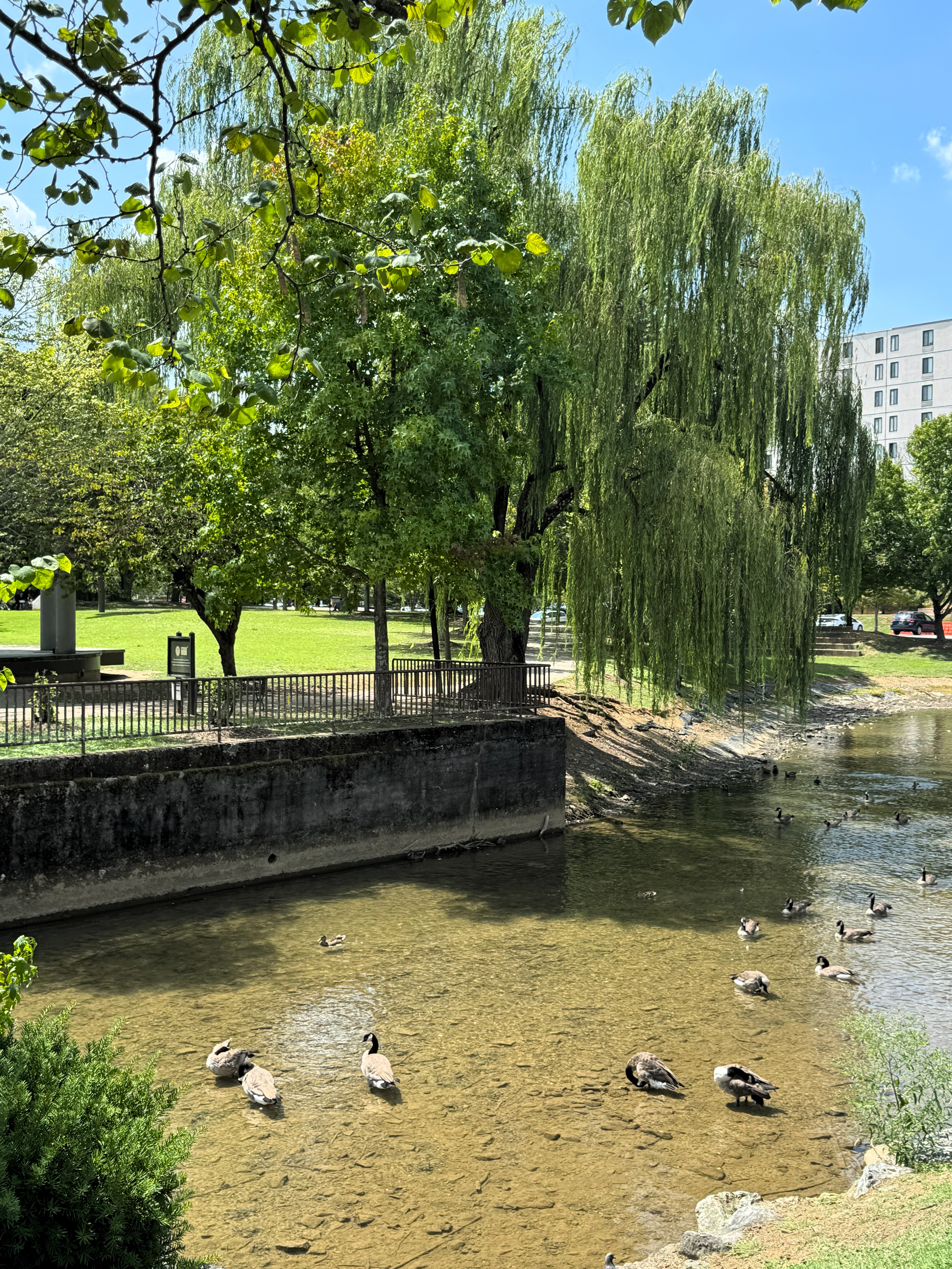
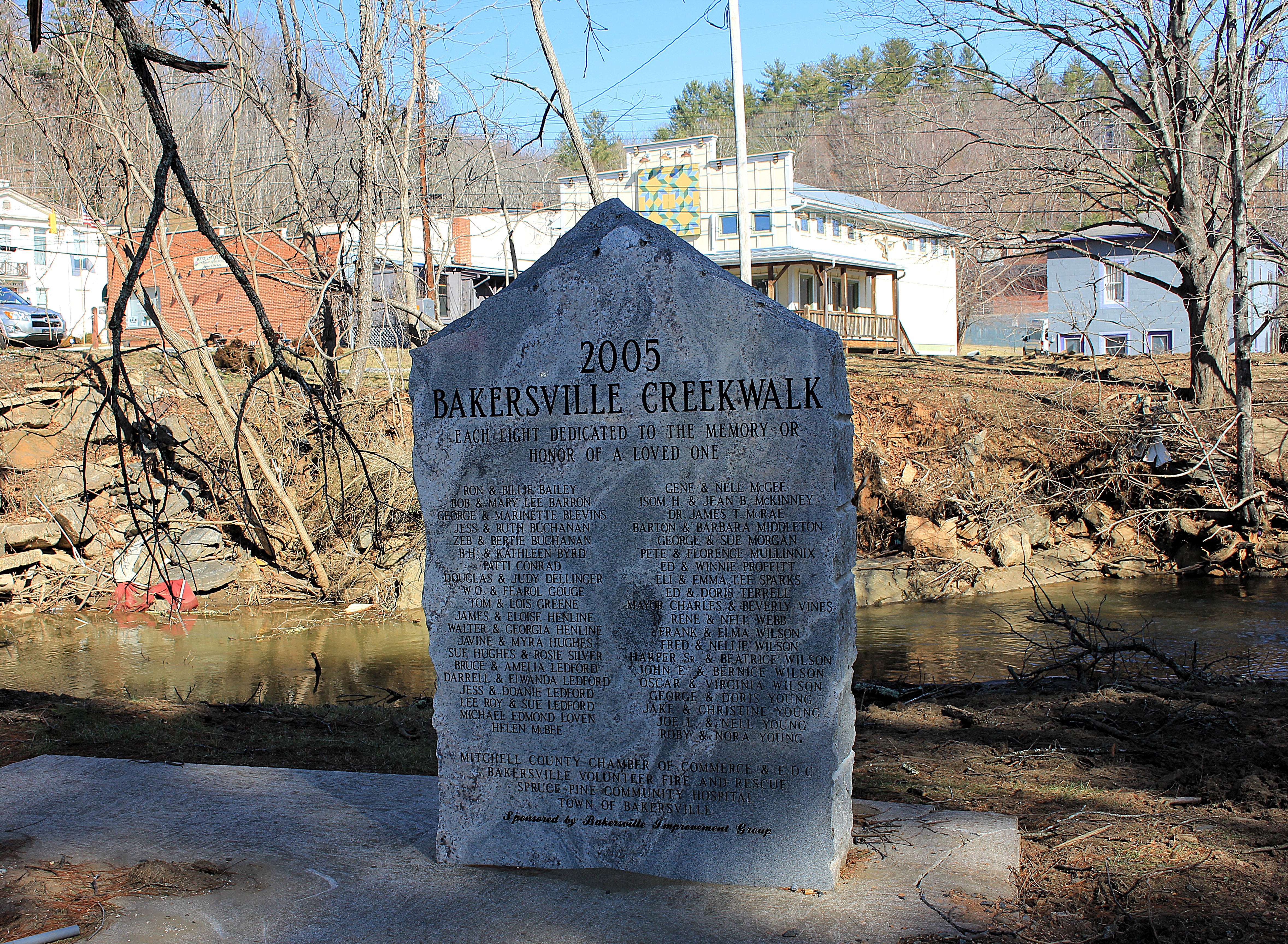
Cane Creek runs through the middle of this little town. Both banks of the creek had recently been cleared of brush and flood-damaged materials. Bakersville has a creek walk along the creek. Much of this asphalt had been washed away. Work crews had removed the debris, so the walk remained open to pedestrians despite muddy spots.
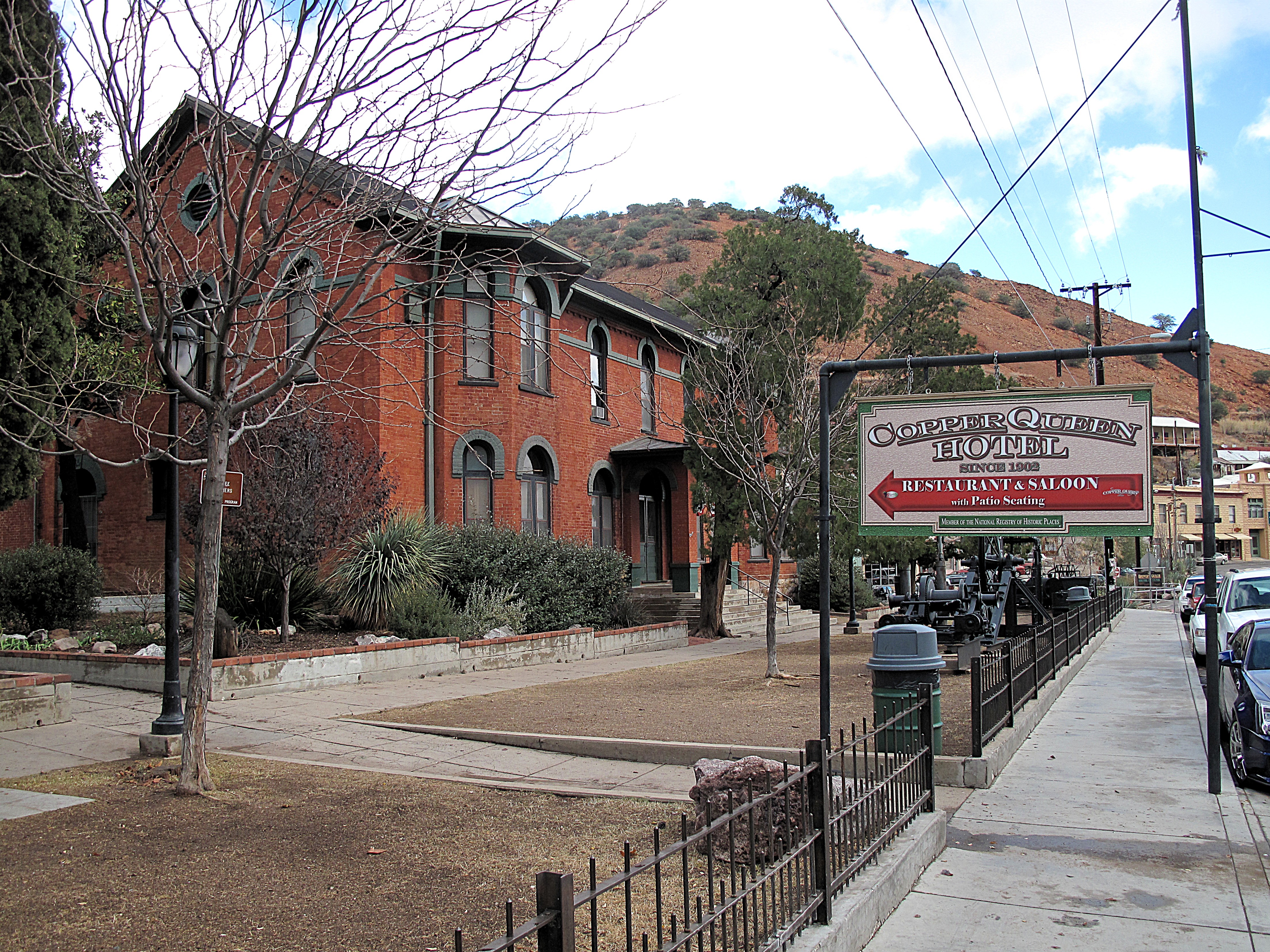
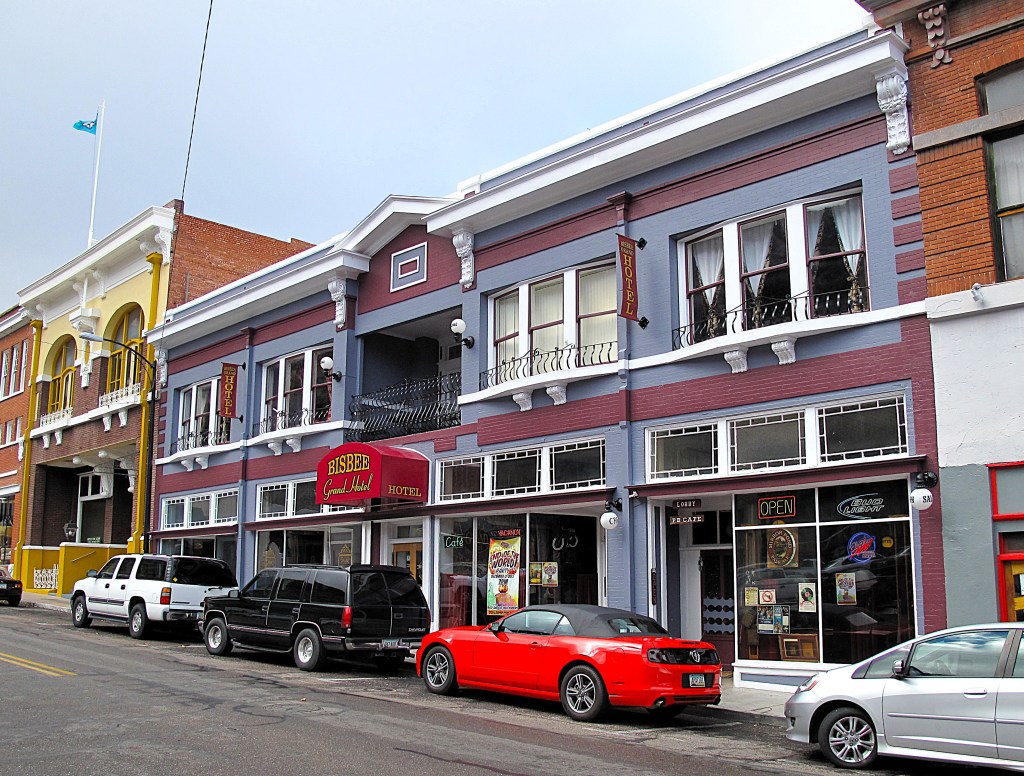
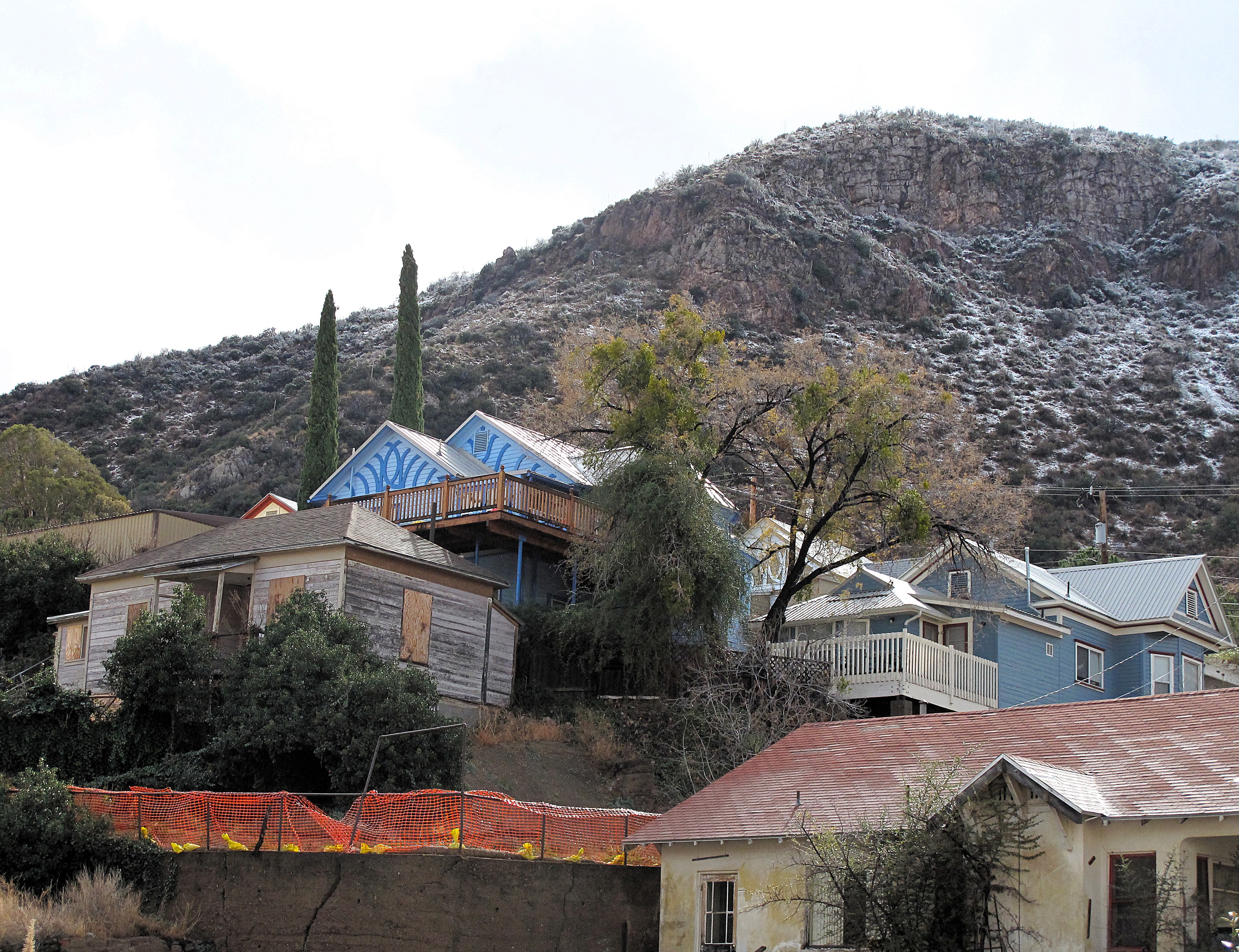
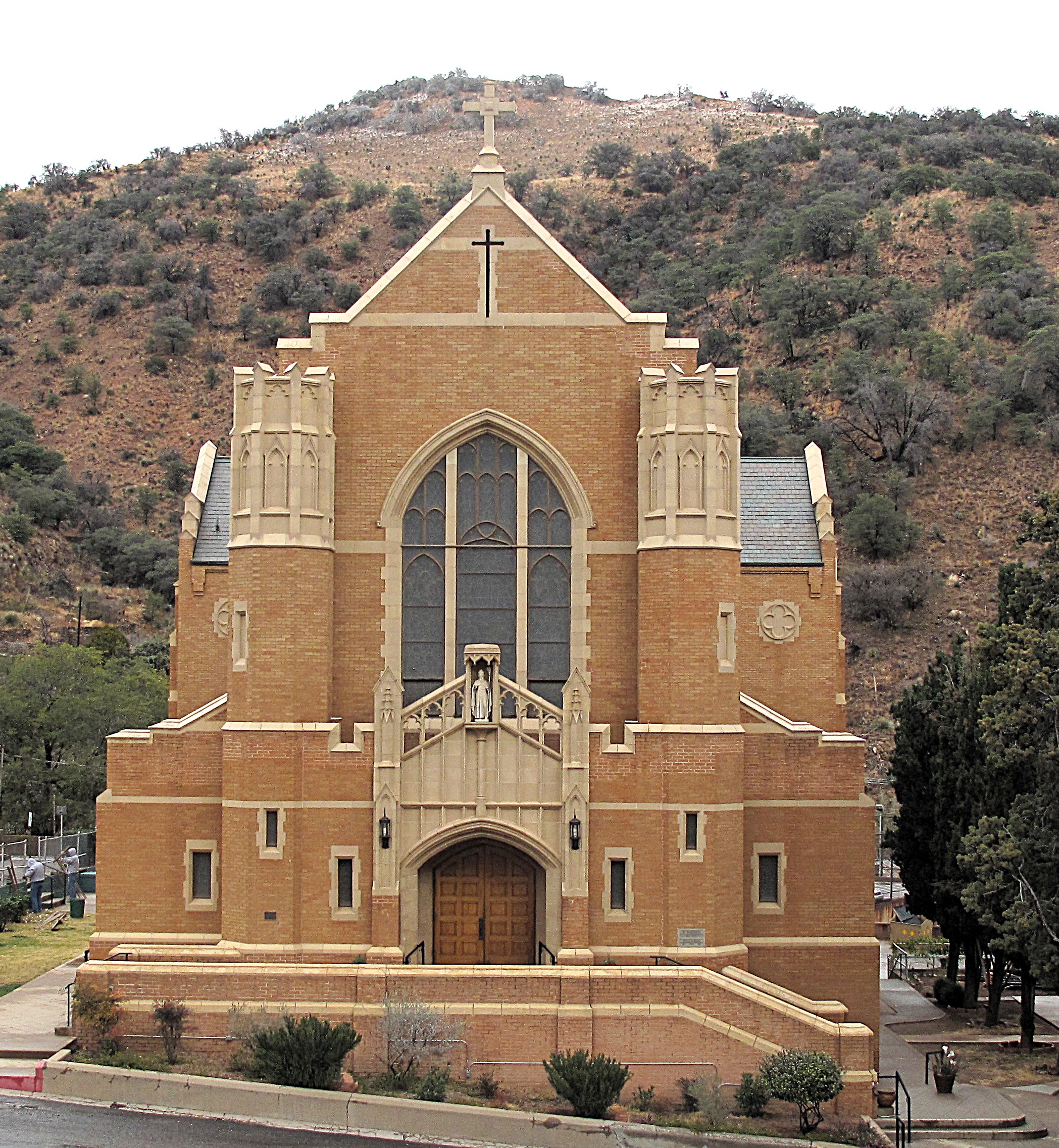
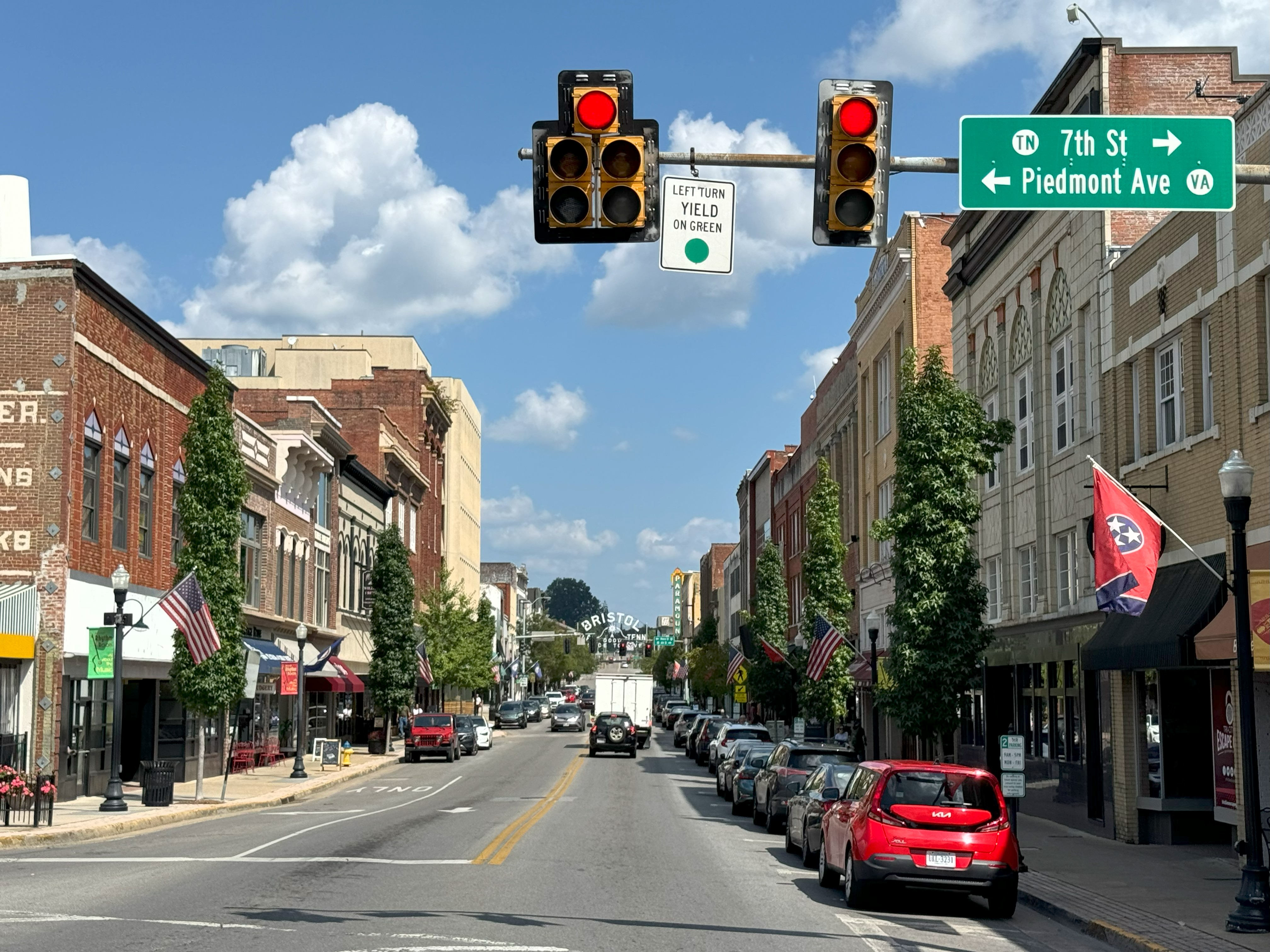
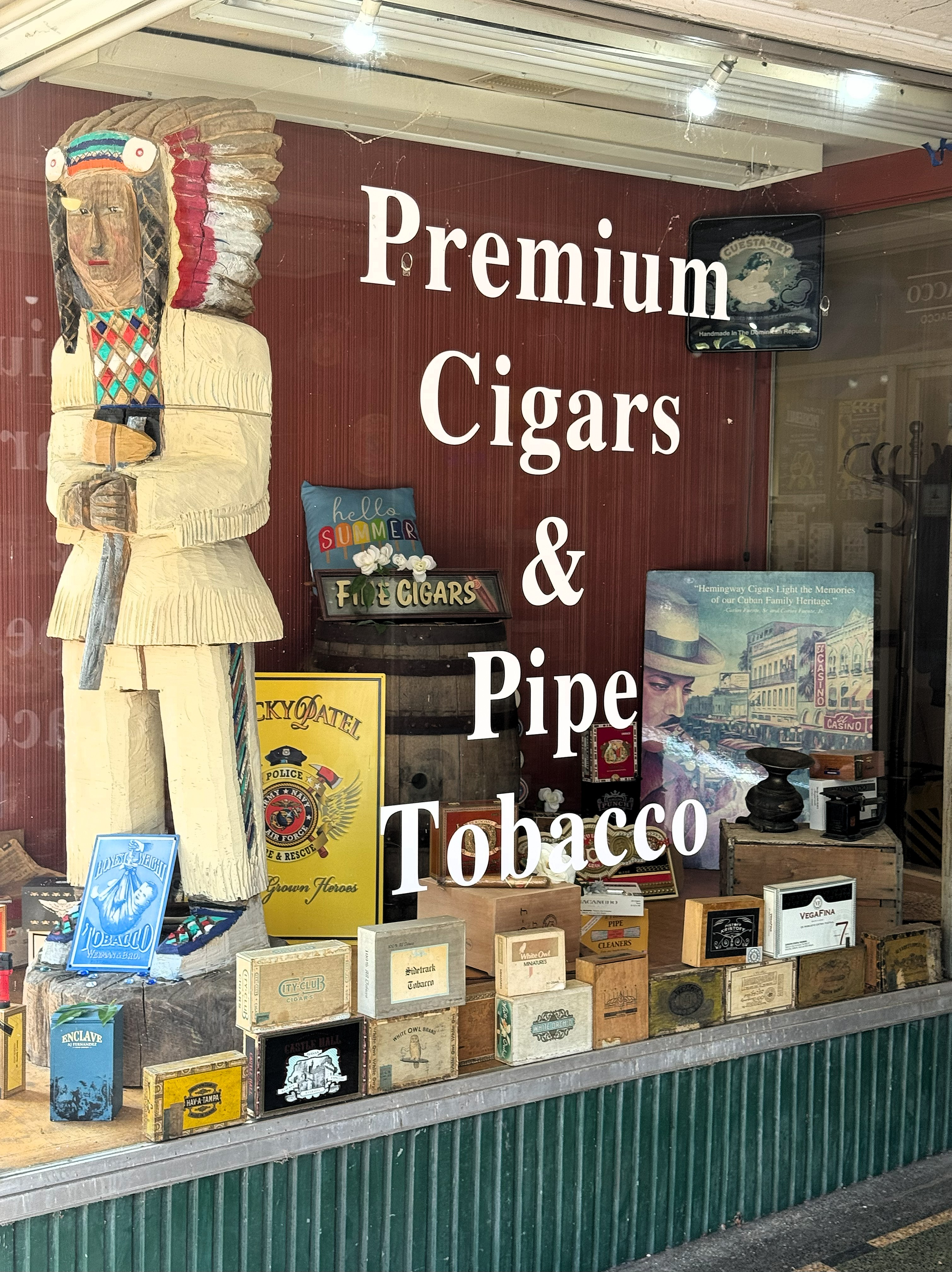
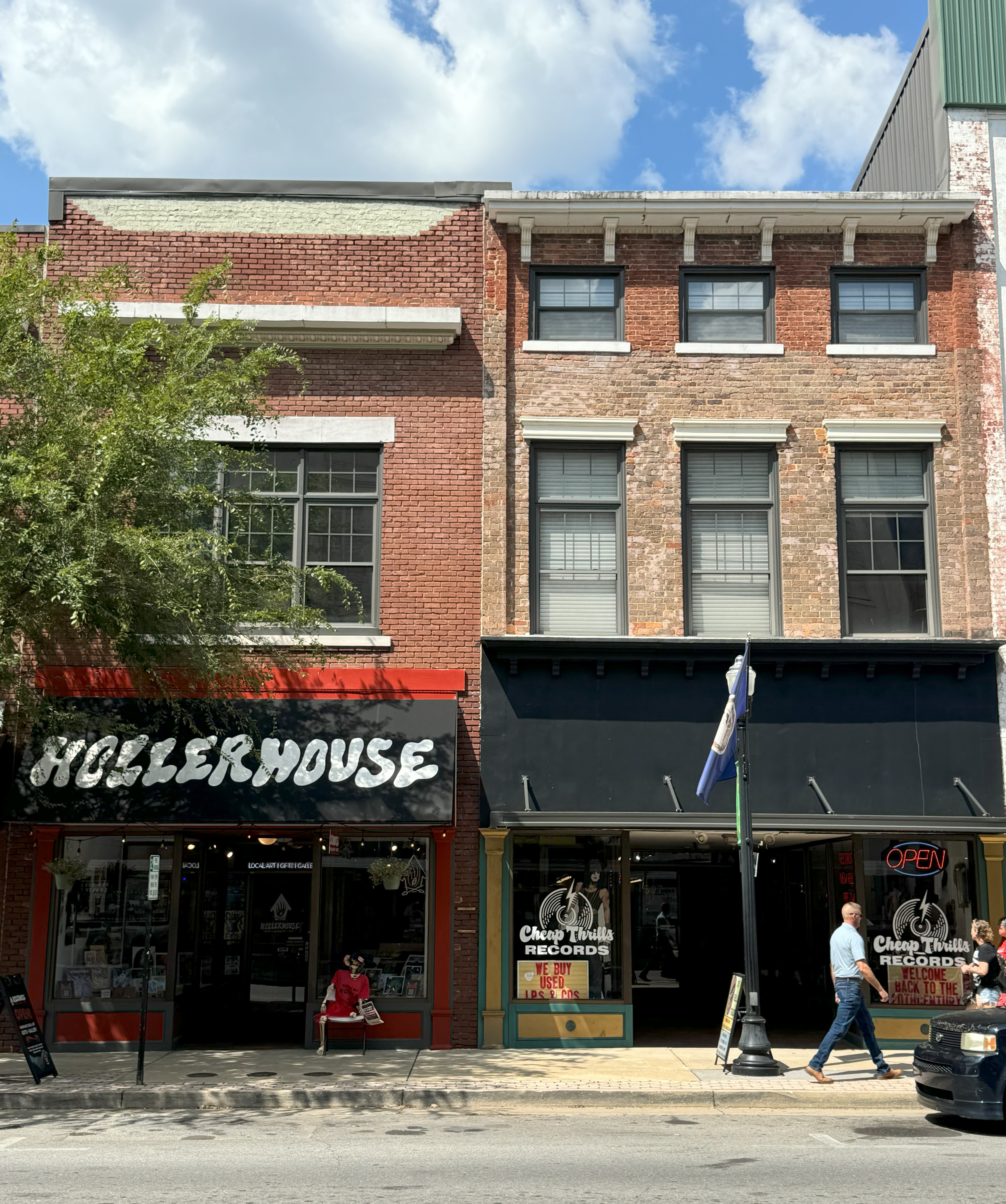
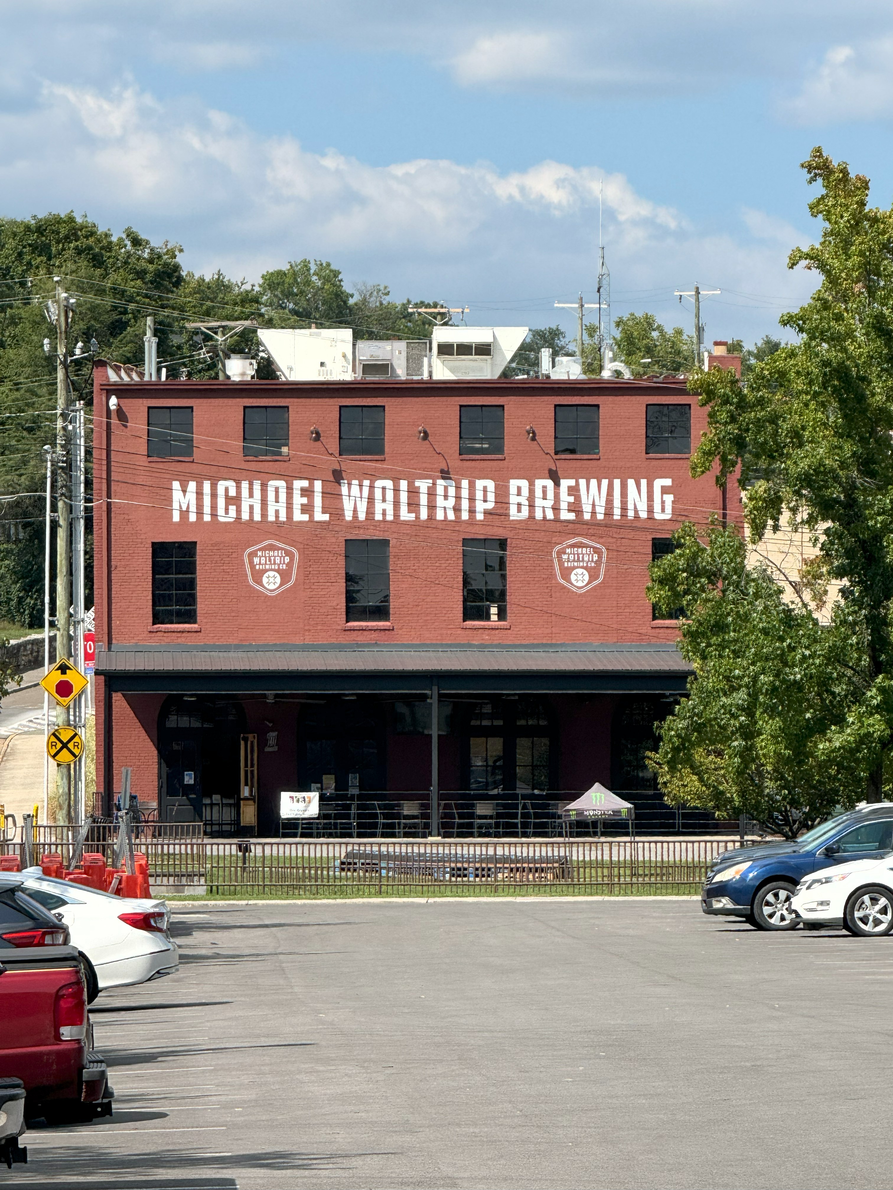
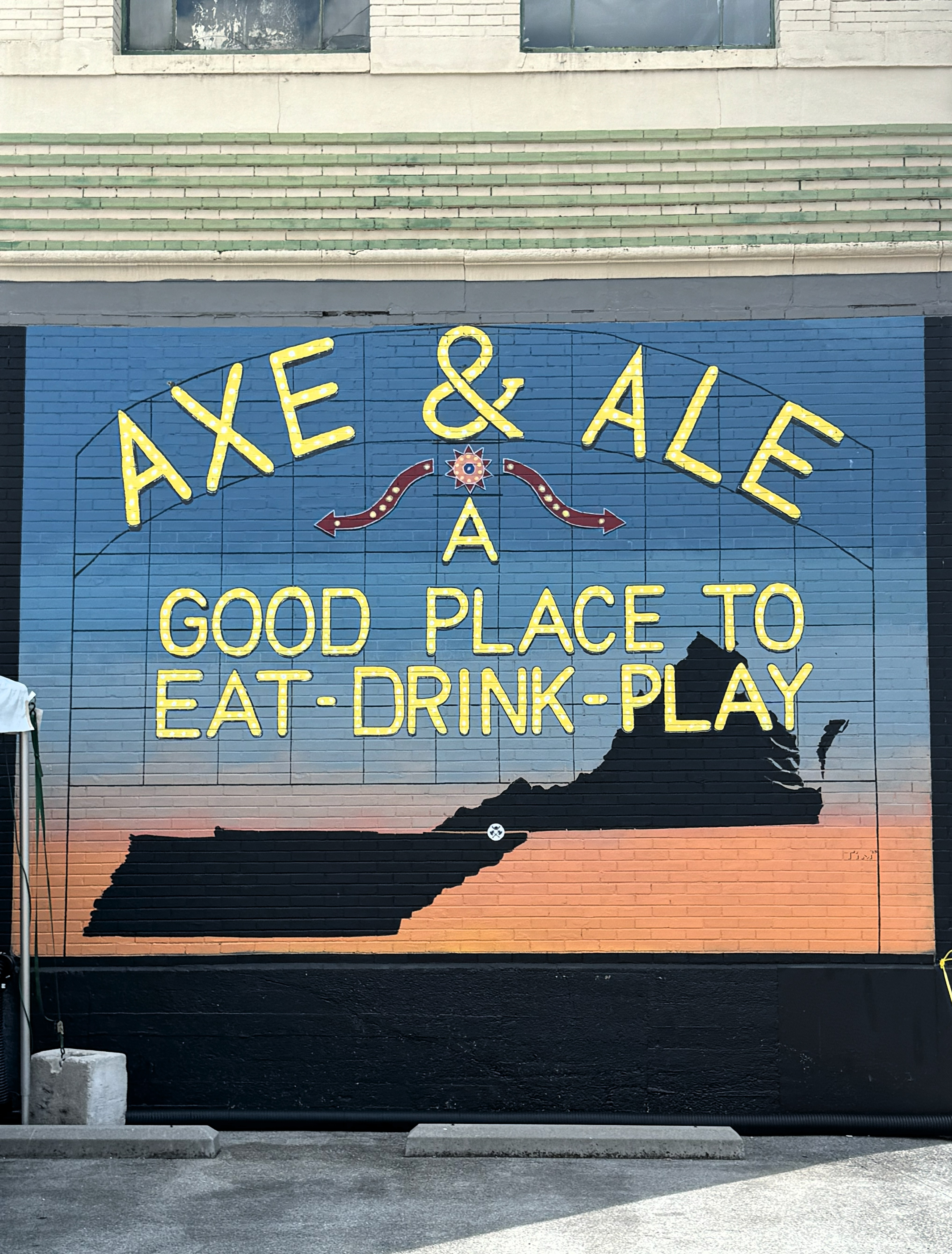
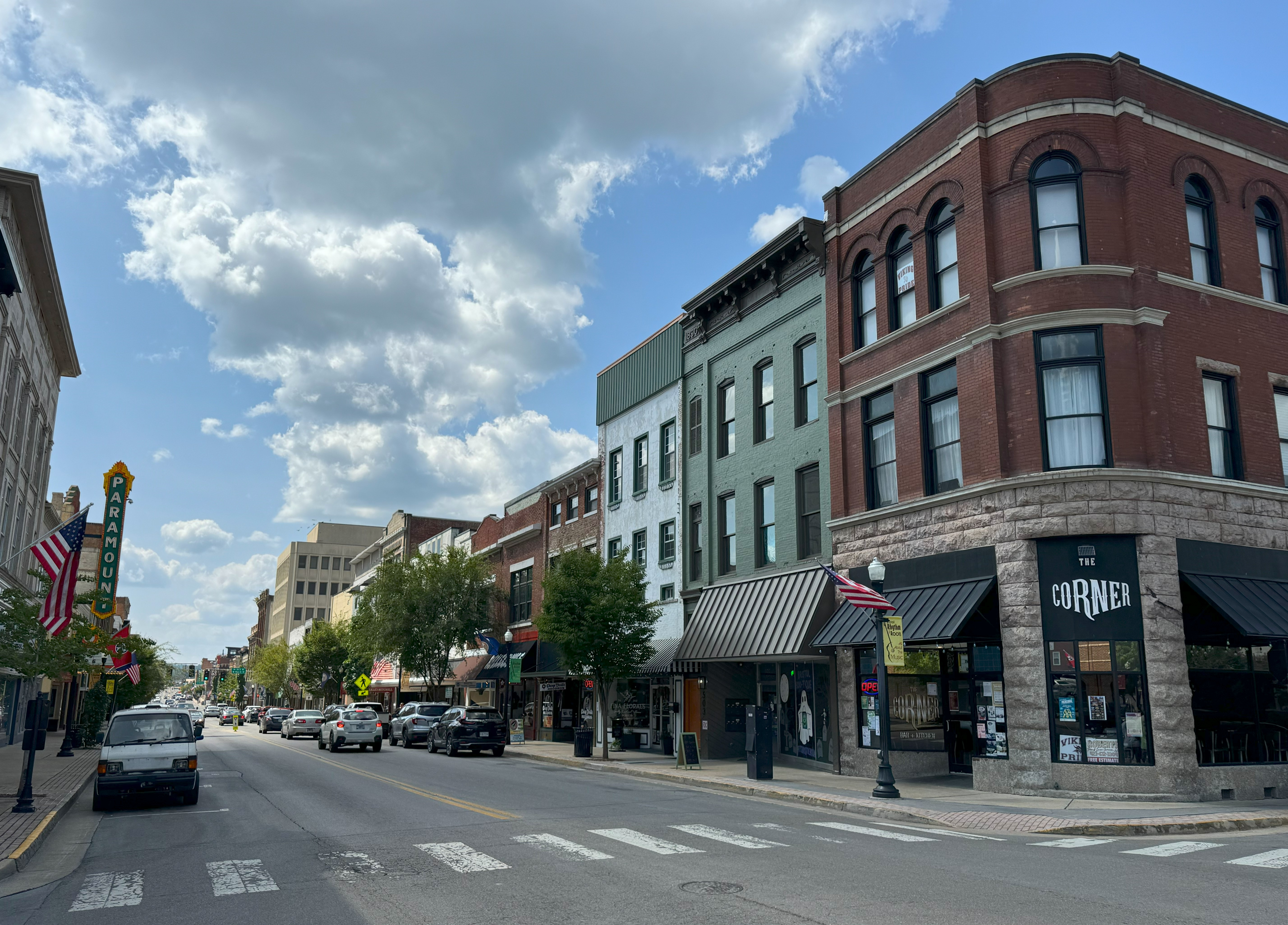
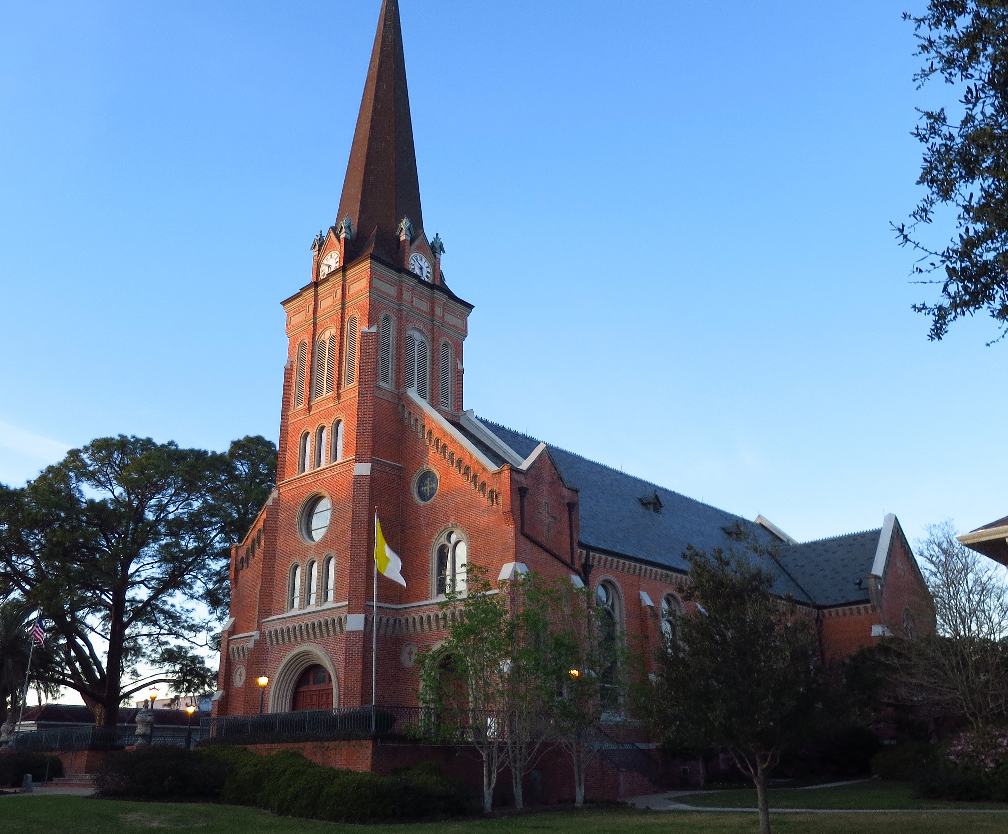
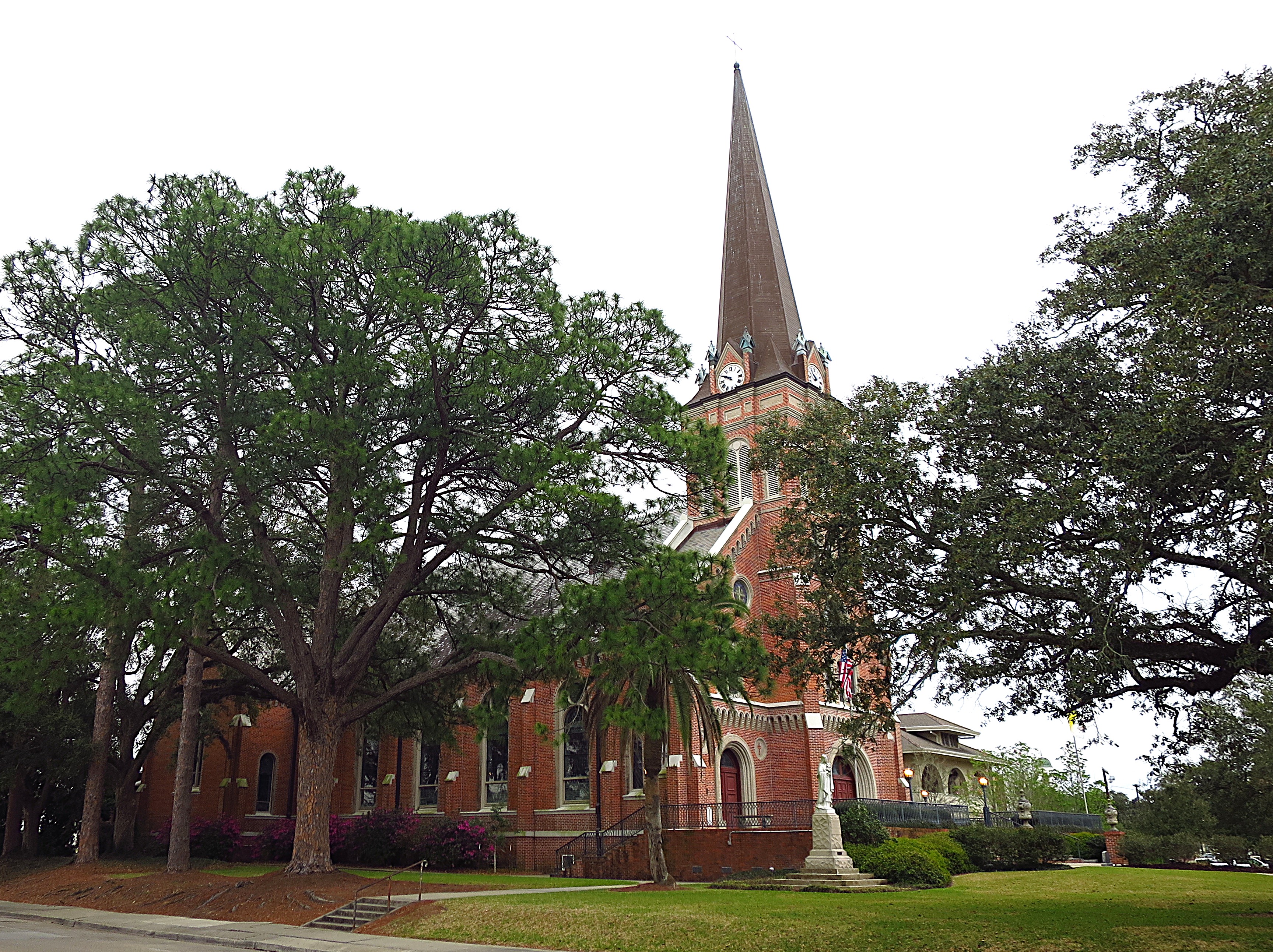
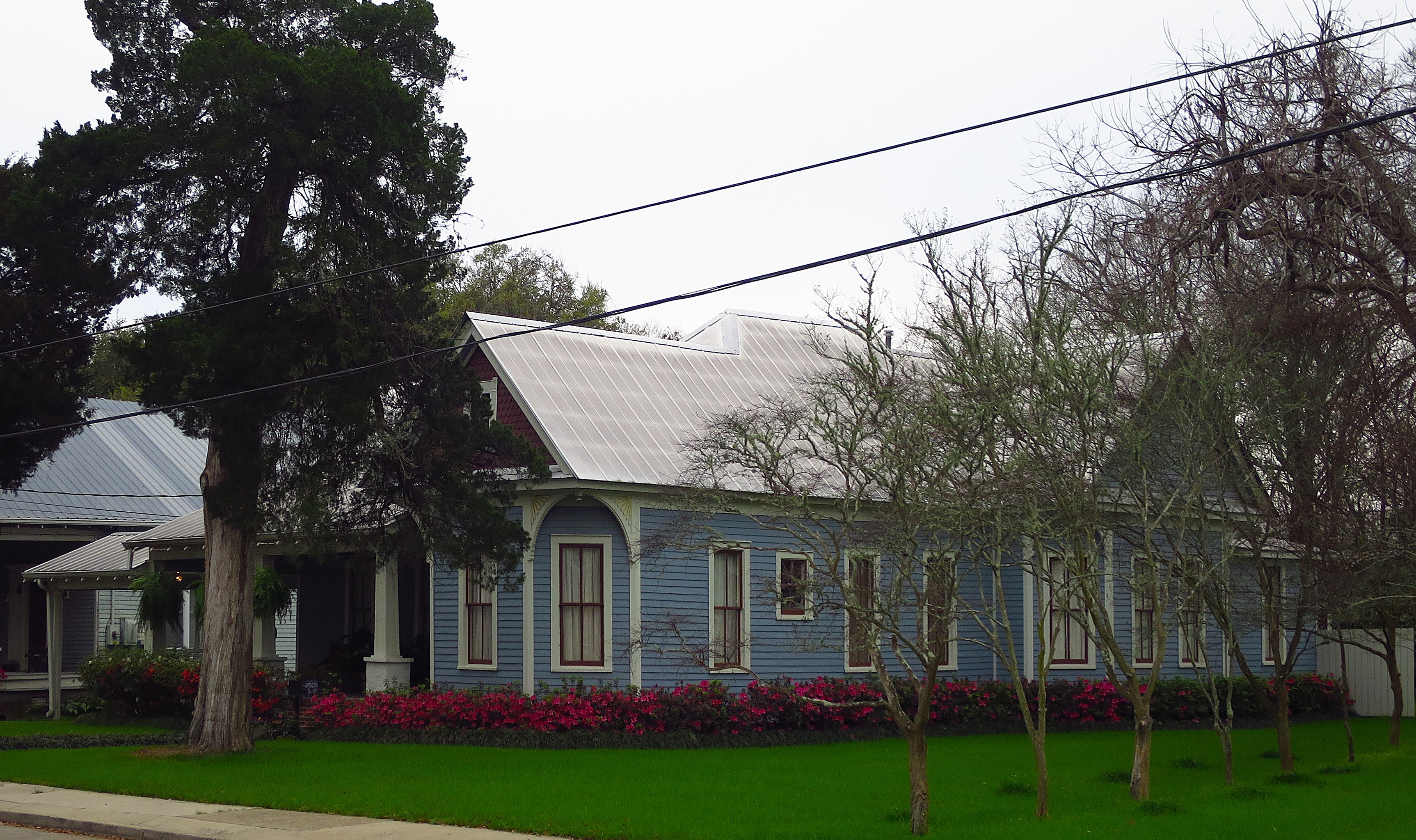
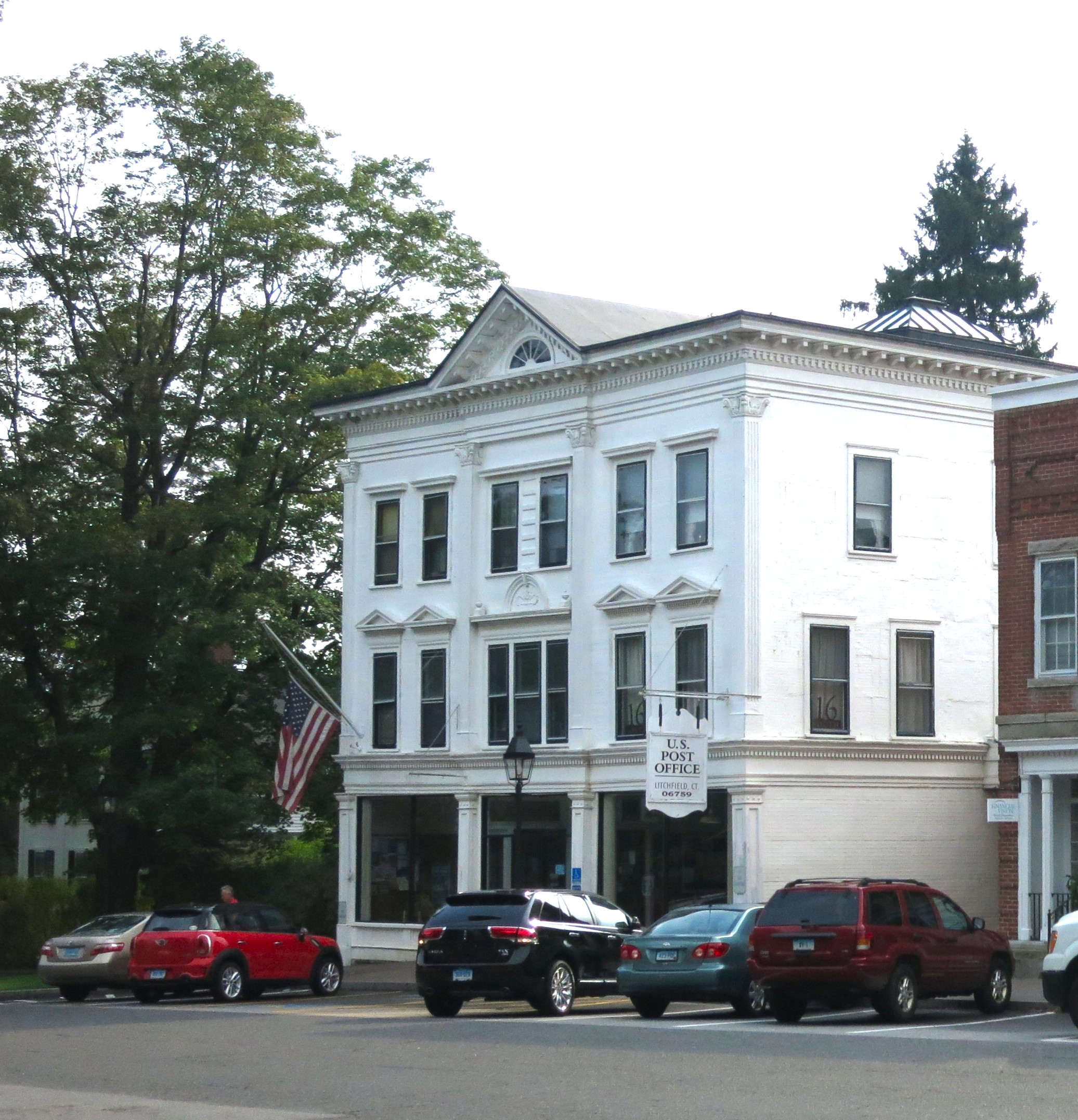
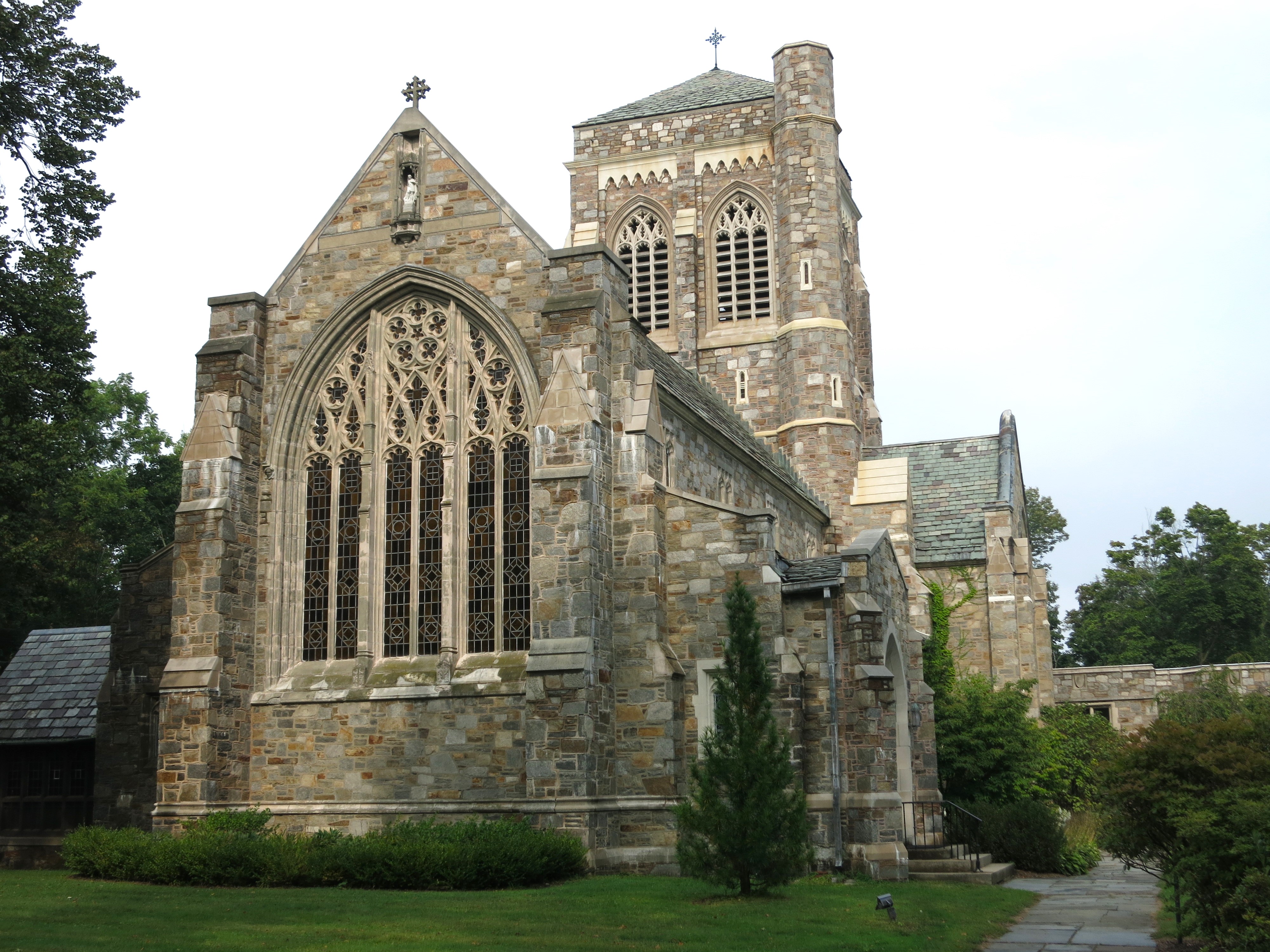
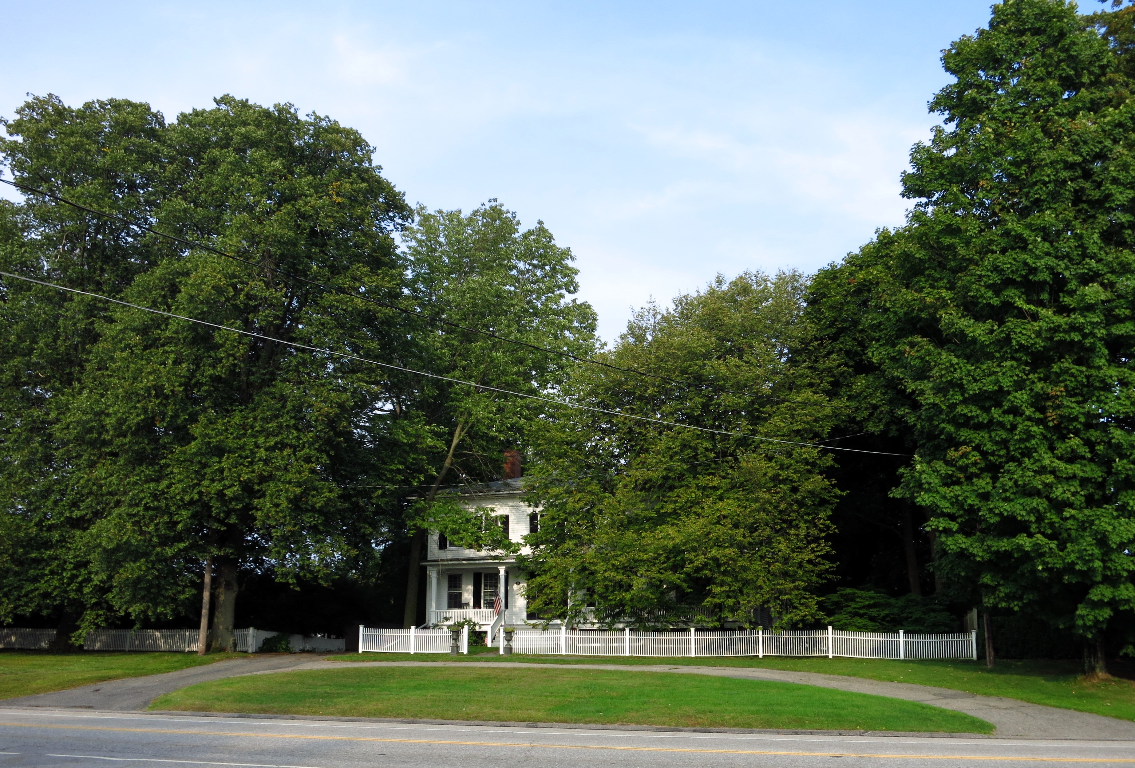
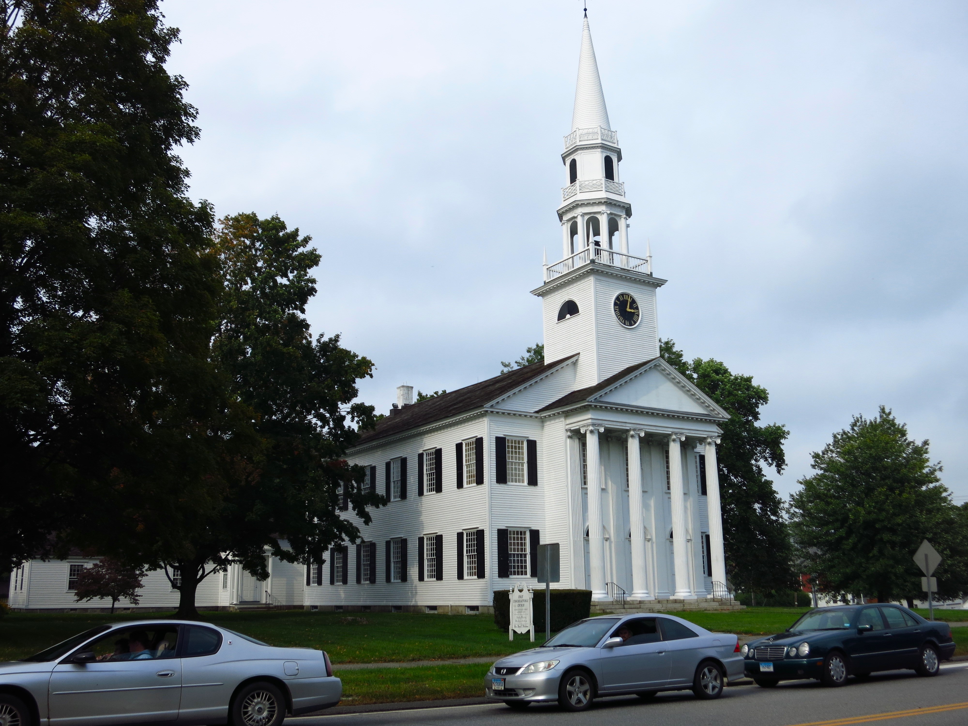
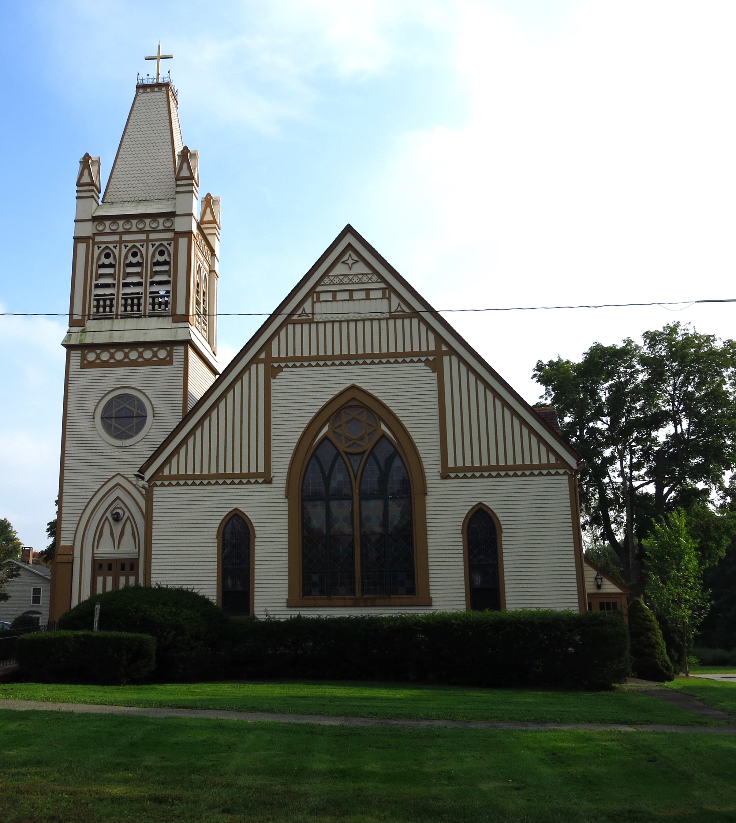
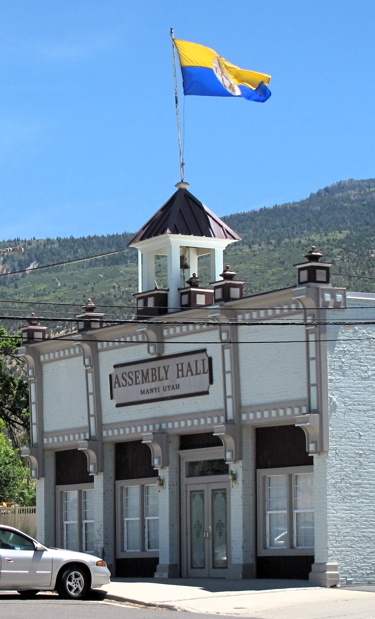
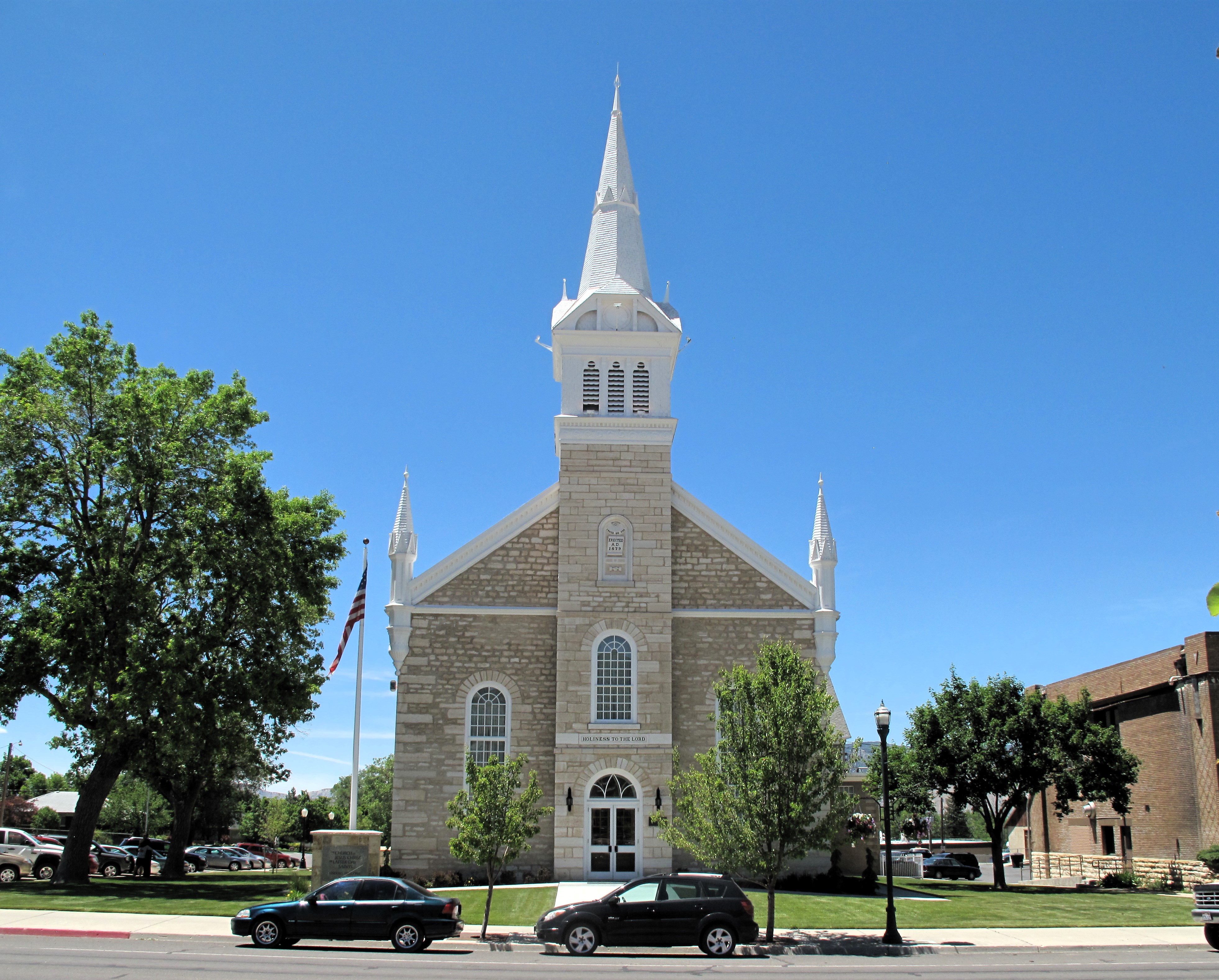
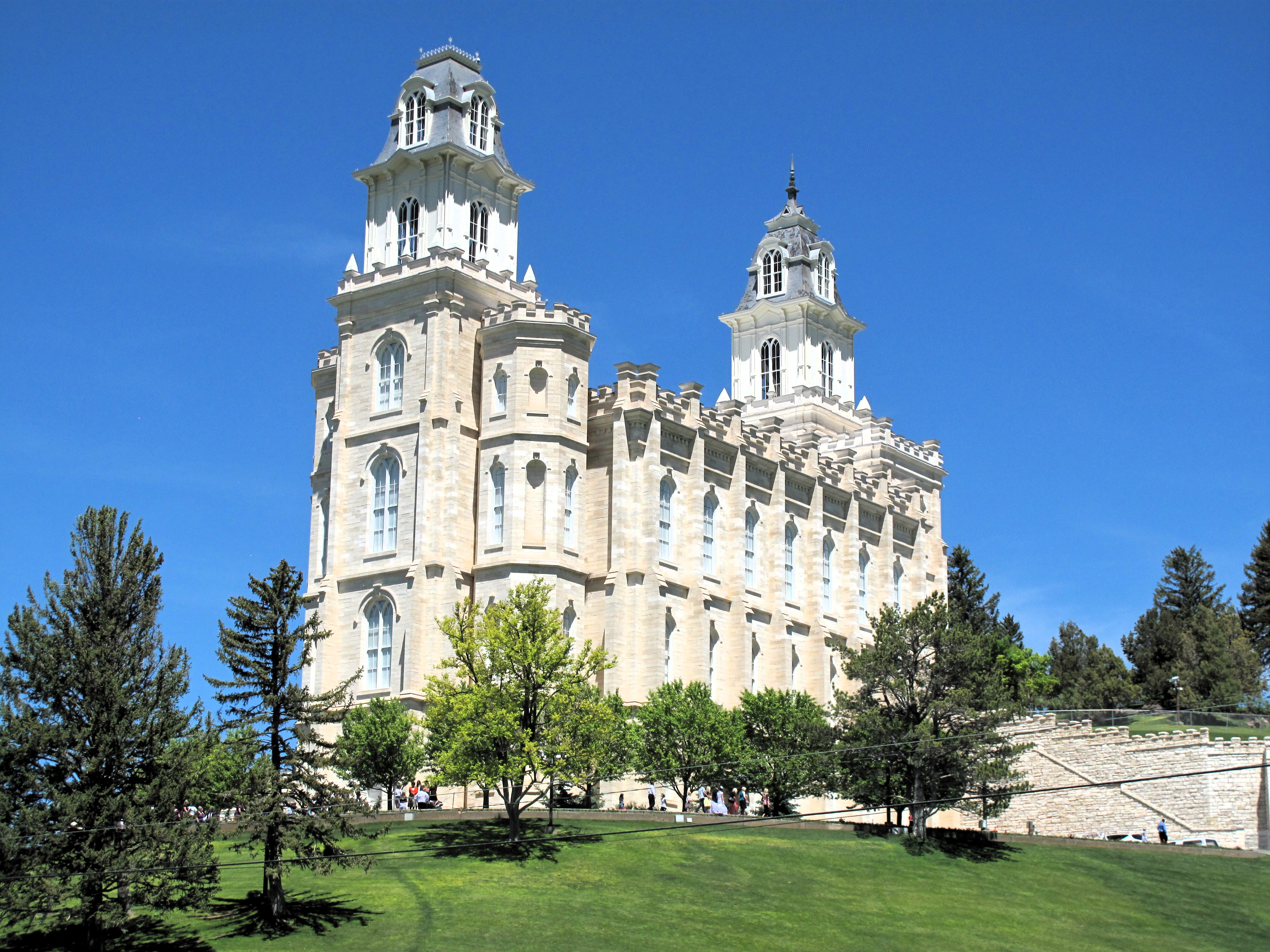
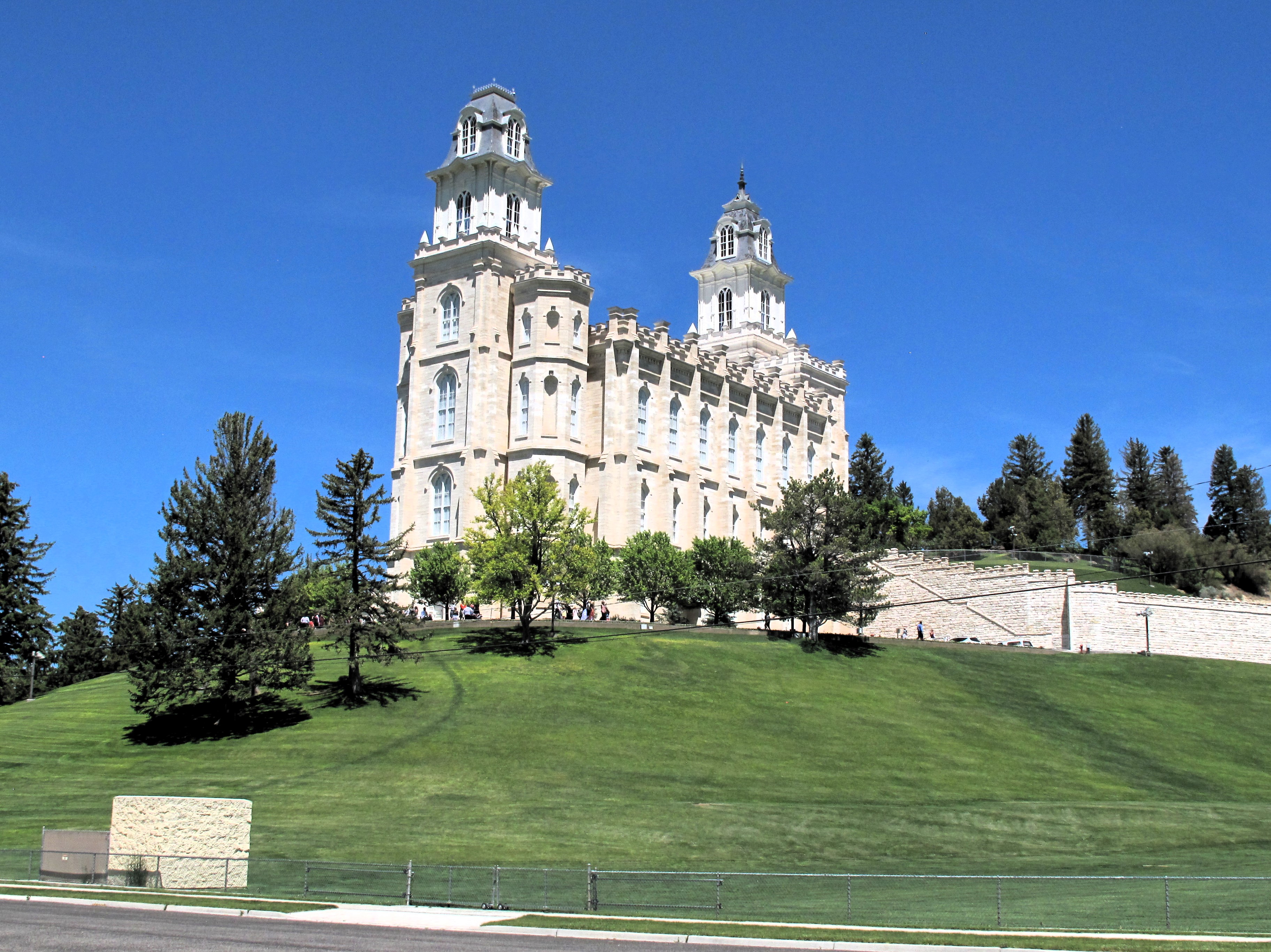
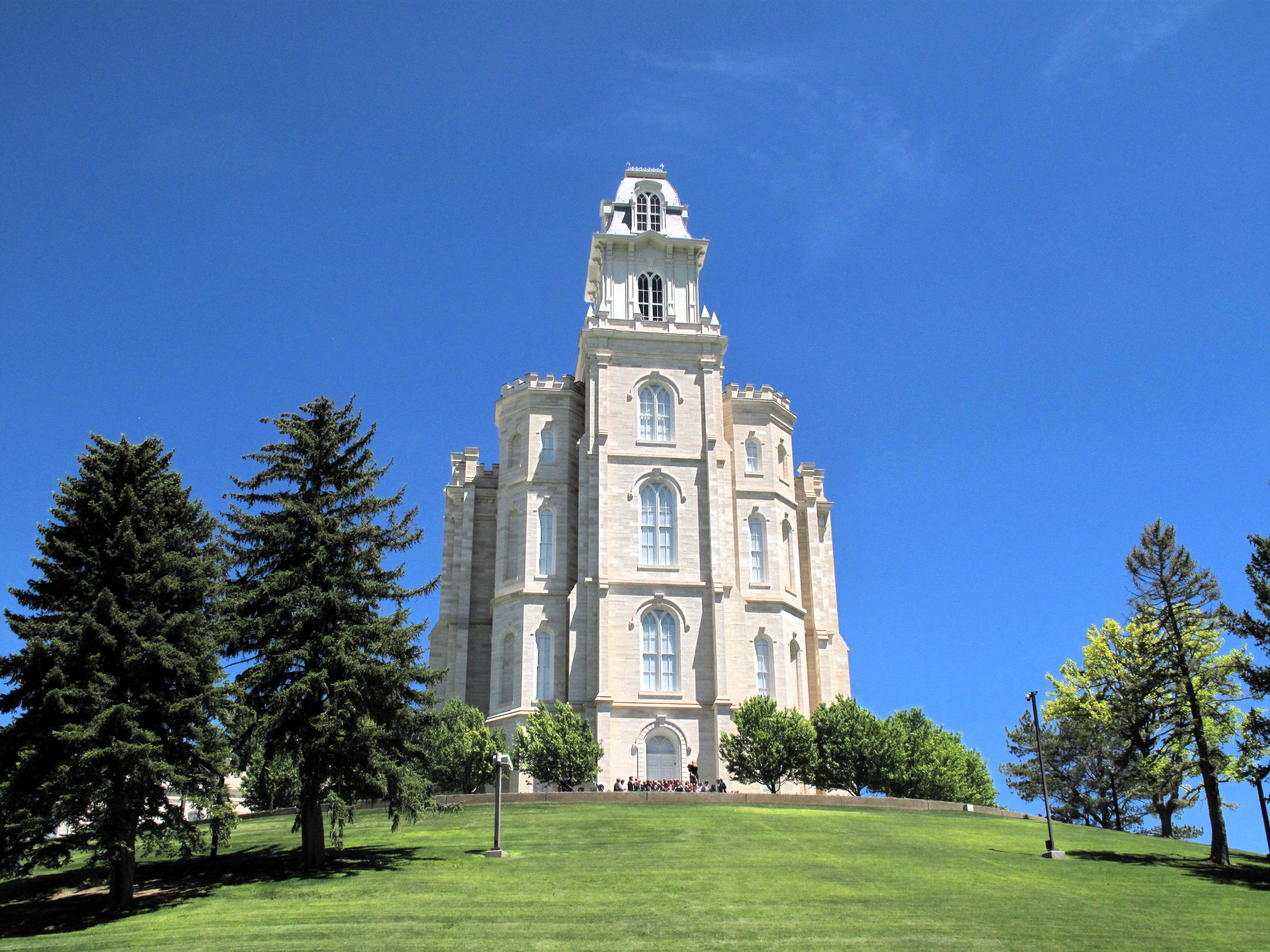
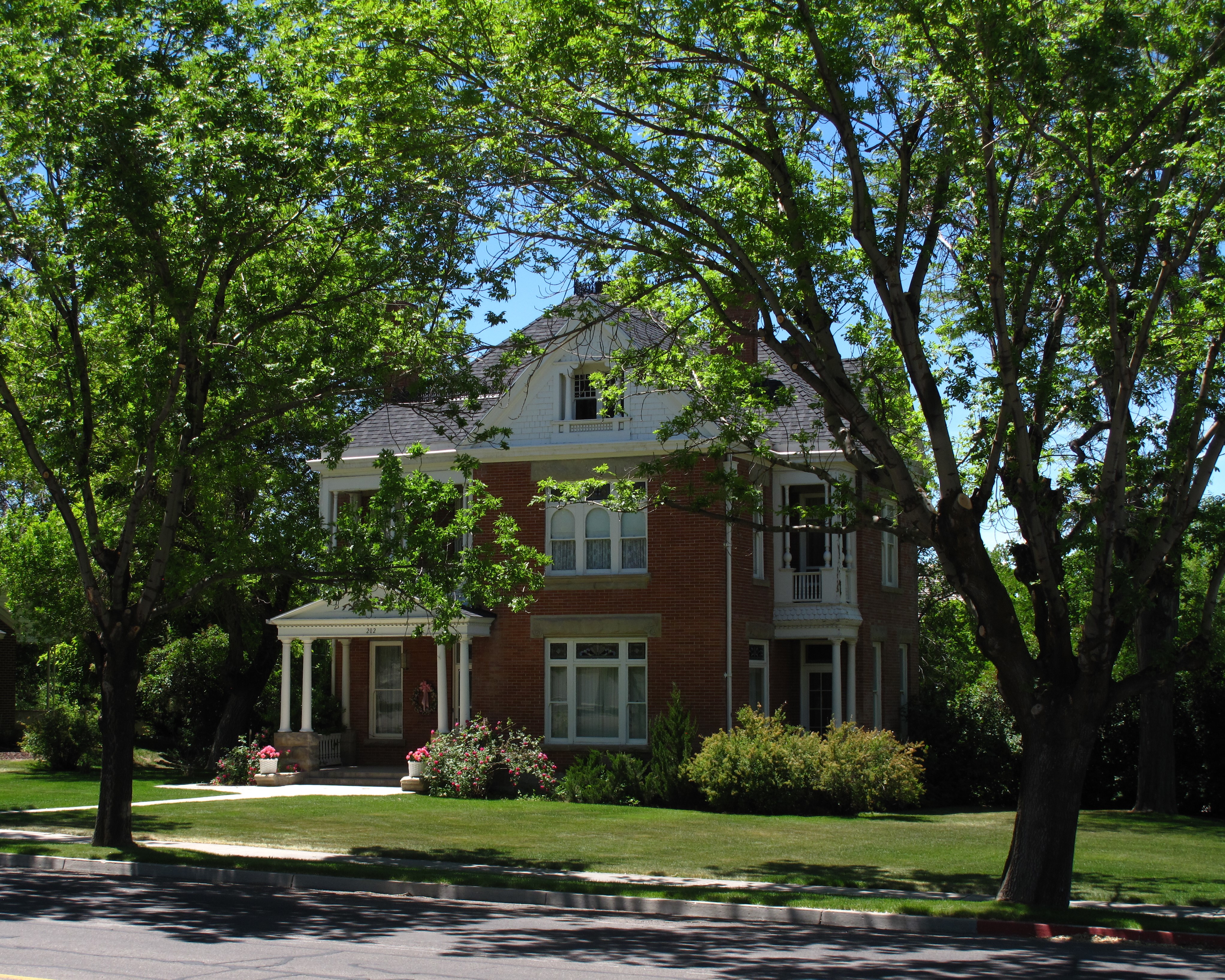
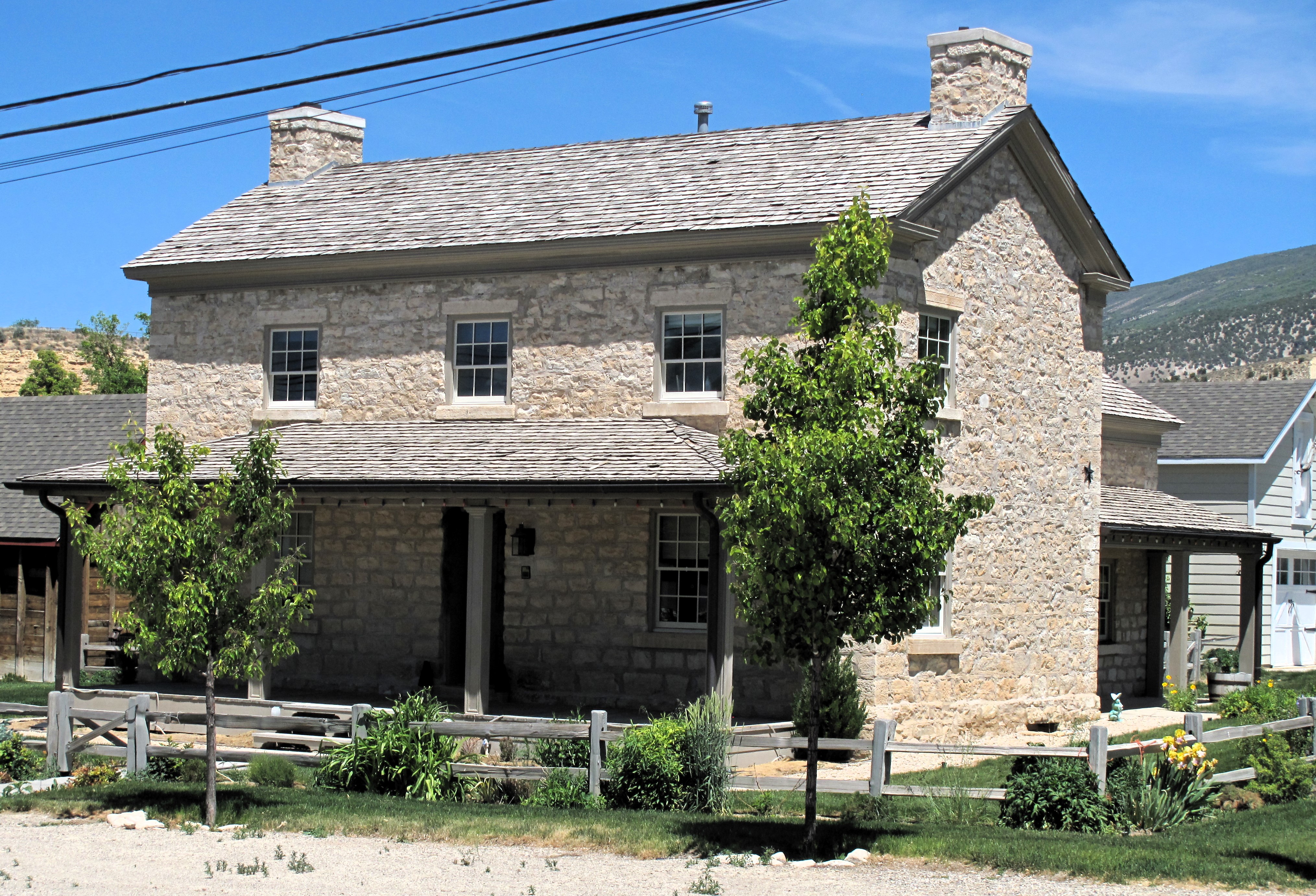
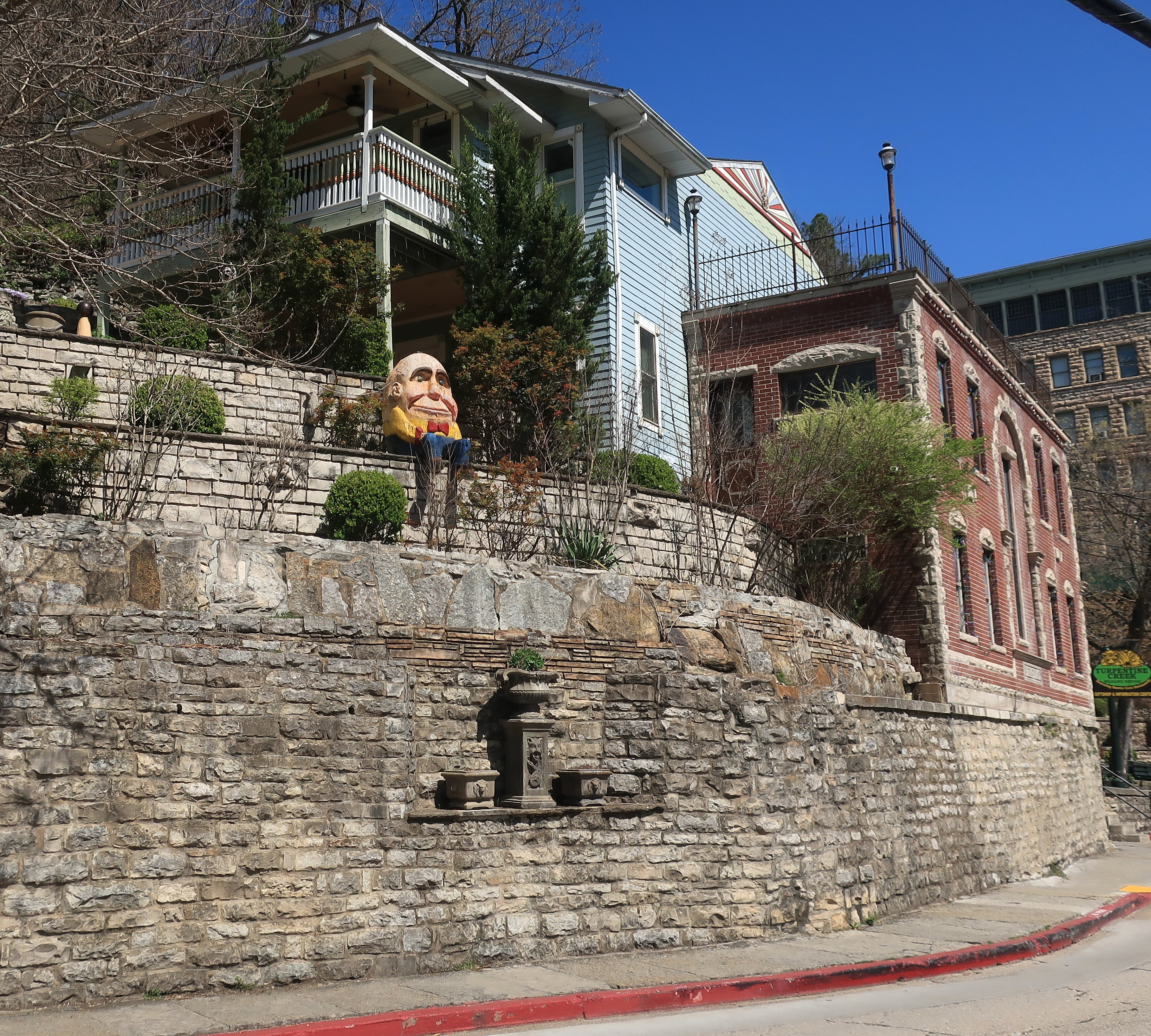
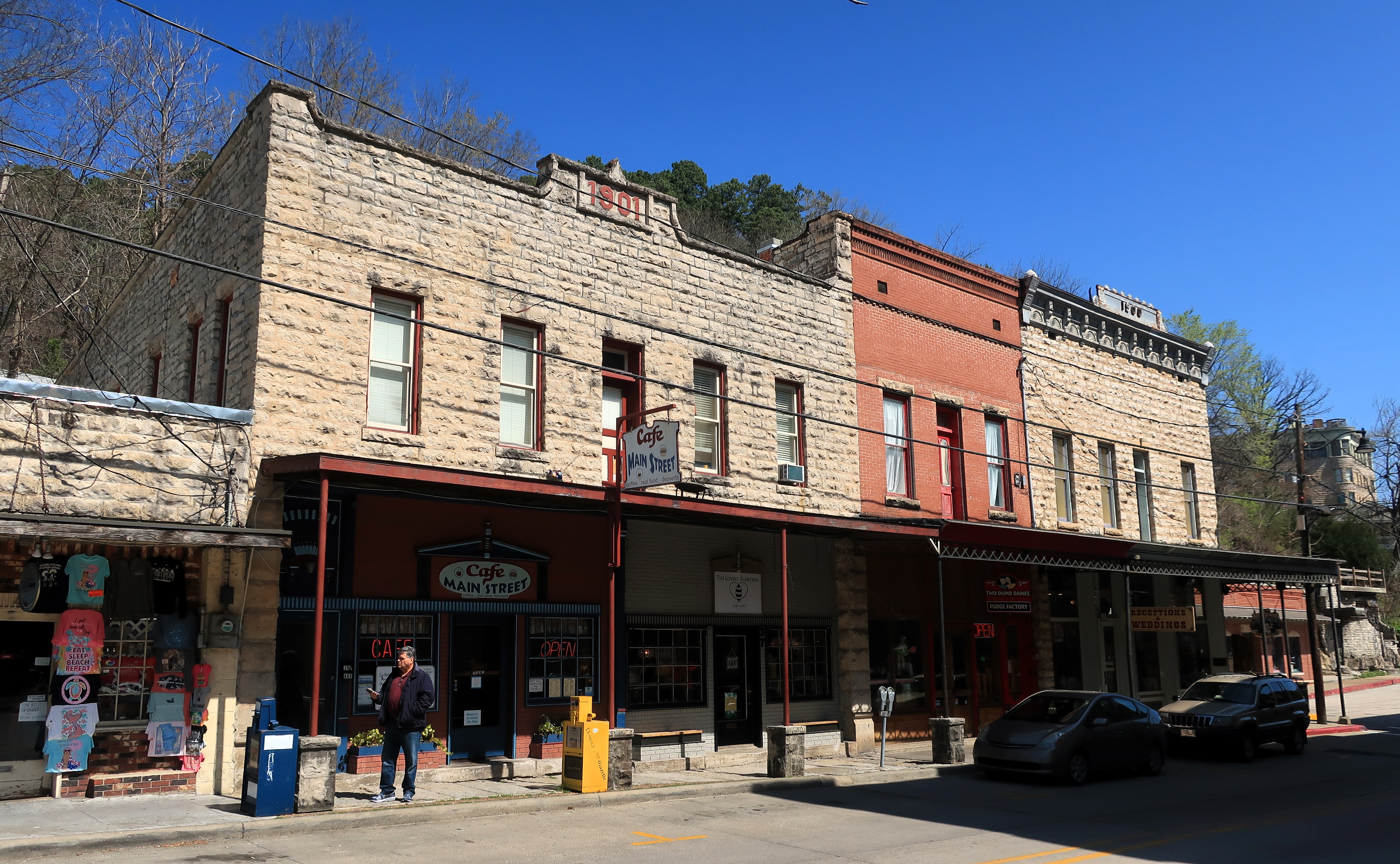
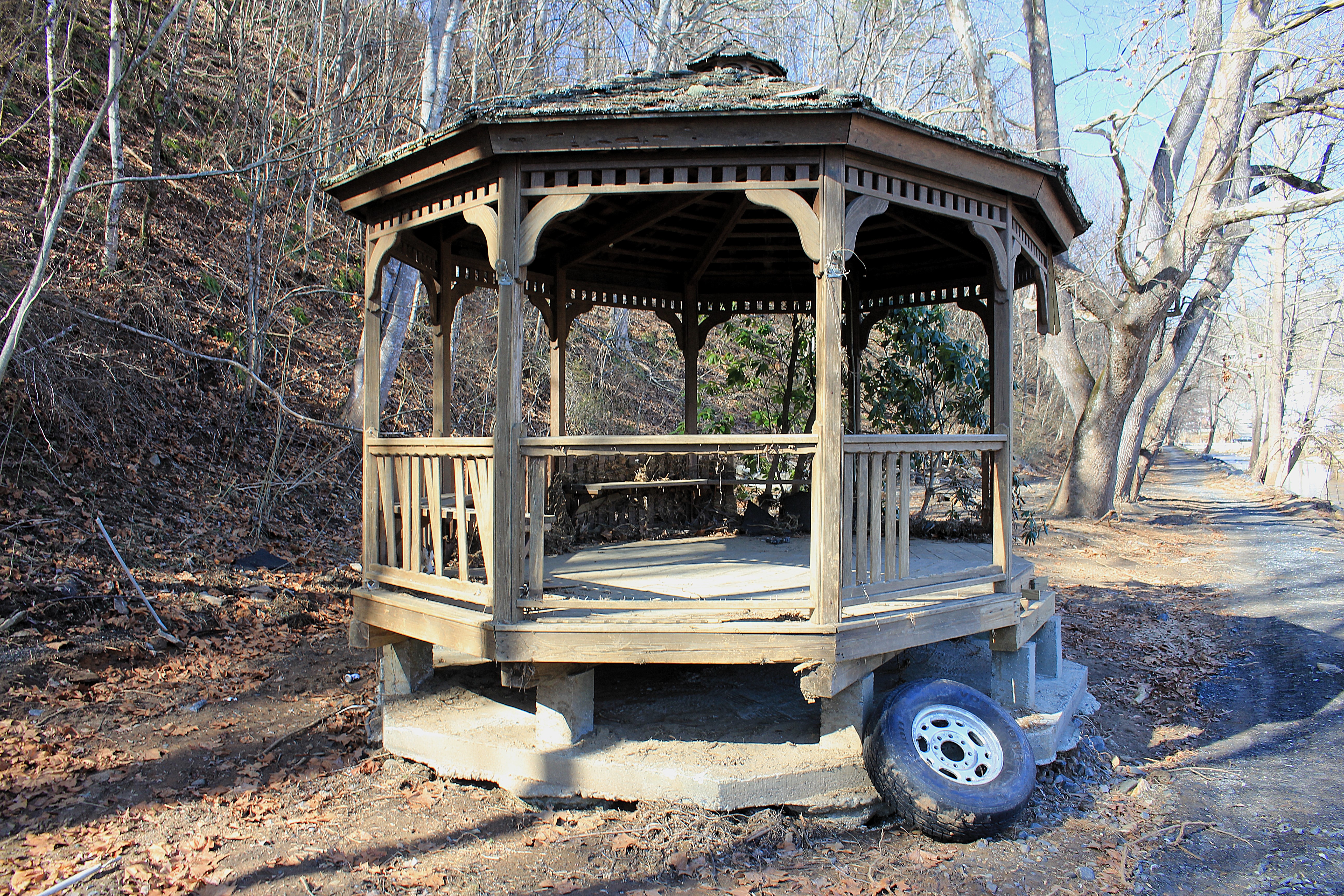
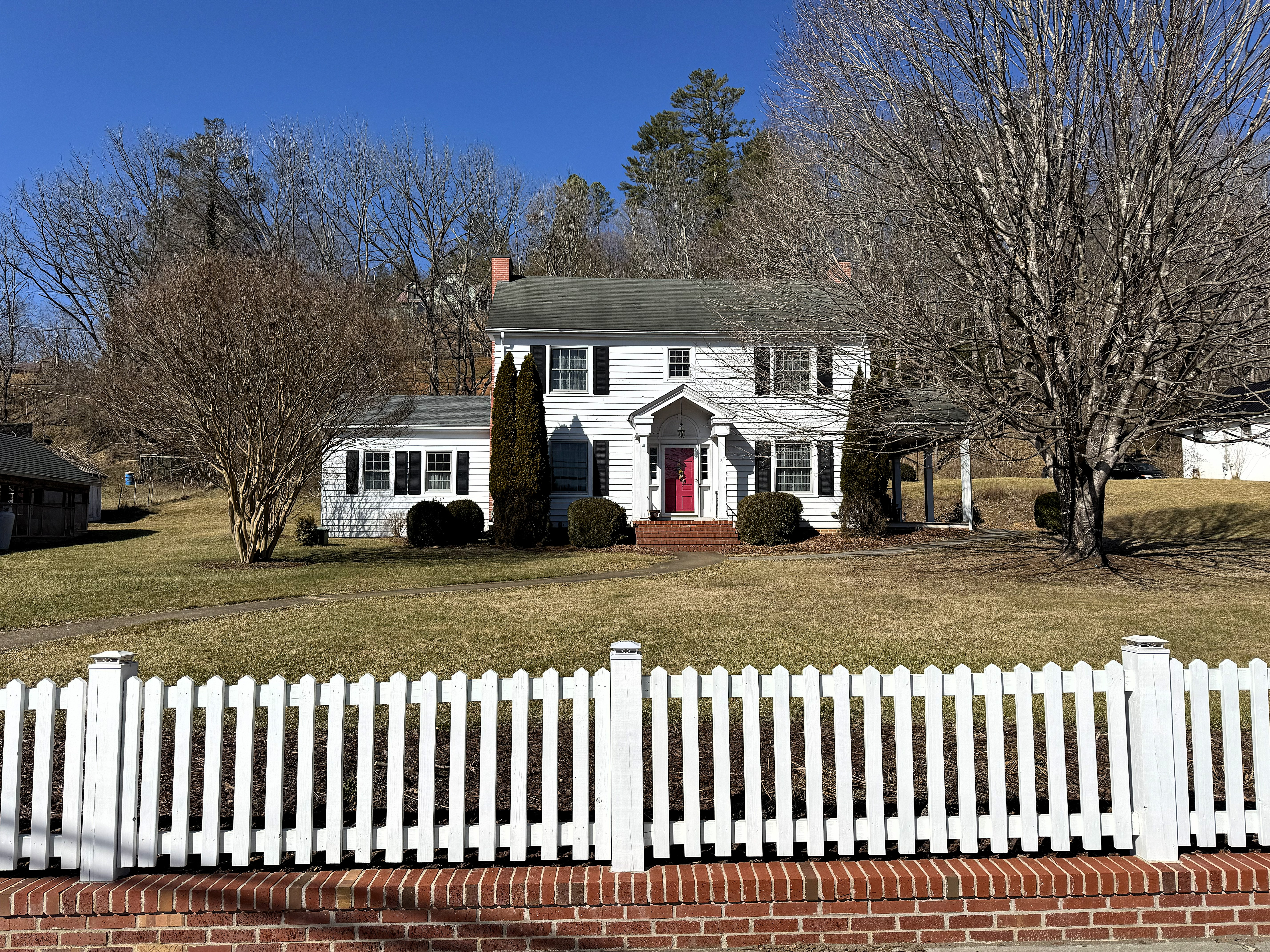
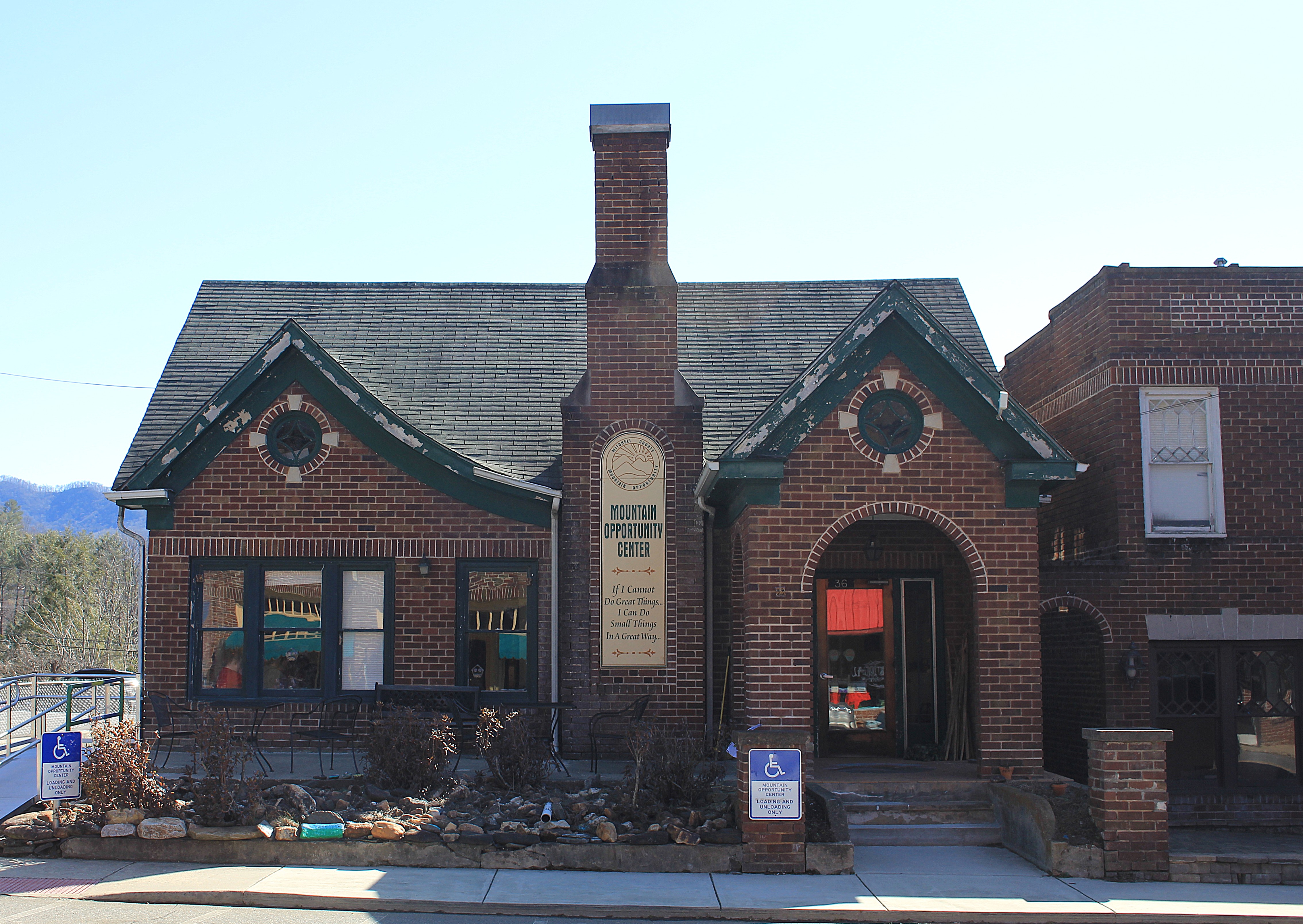
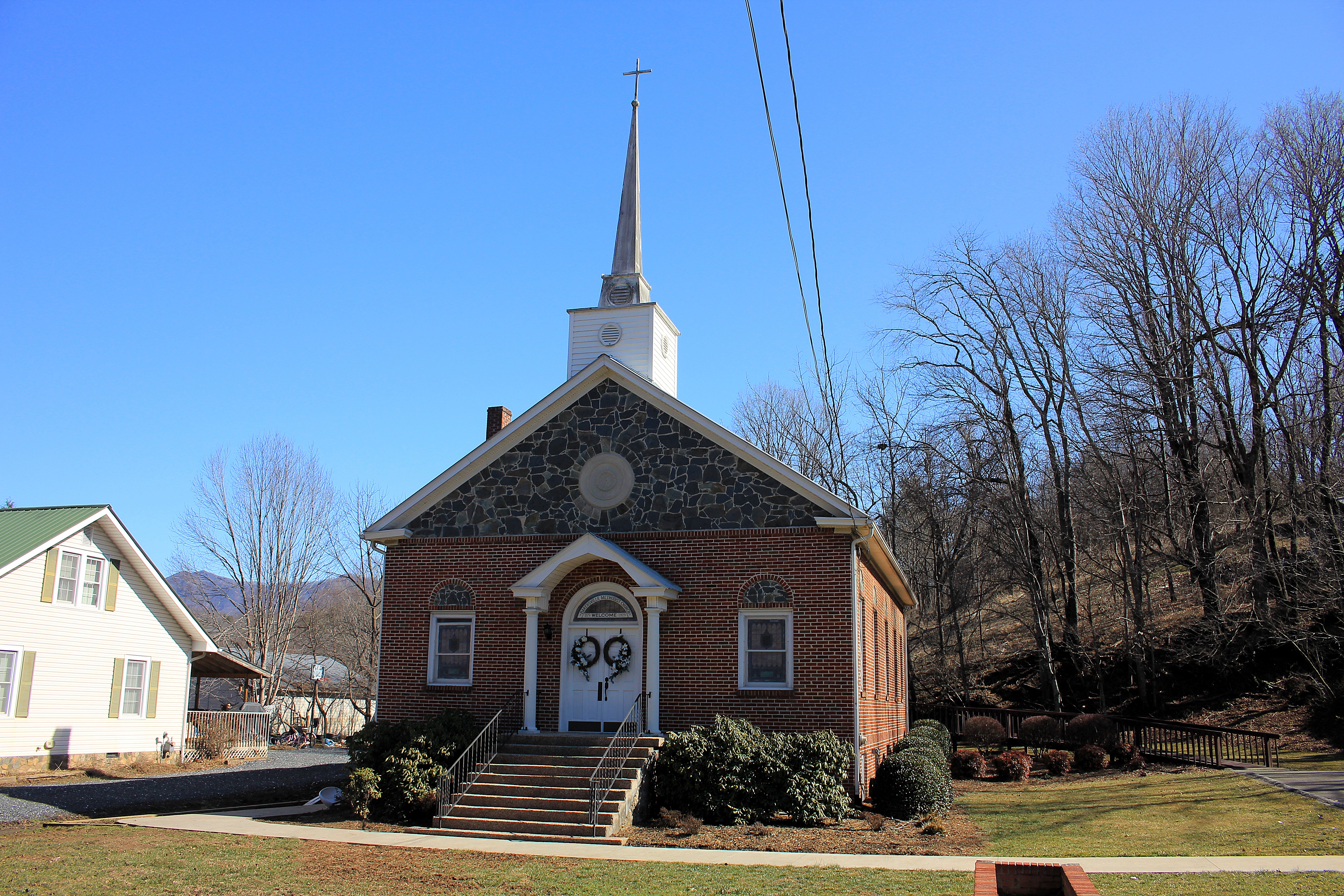
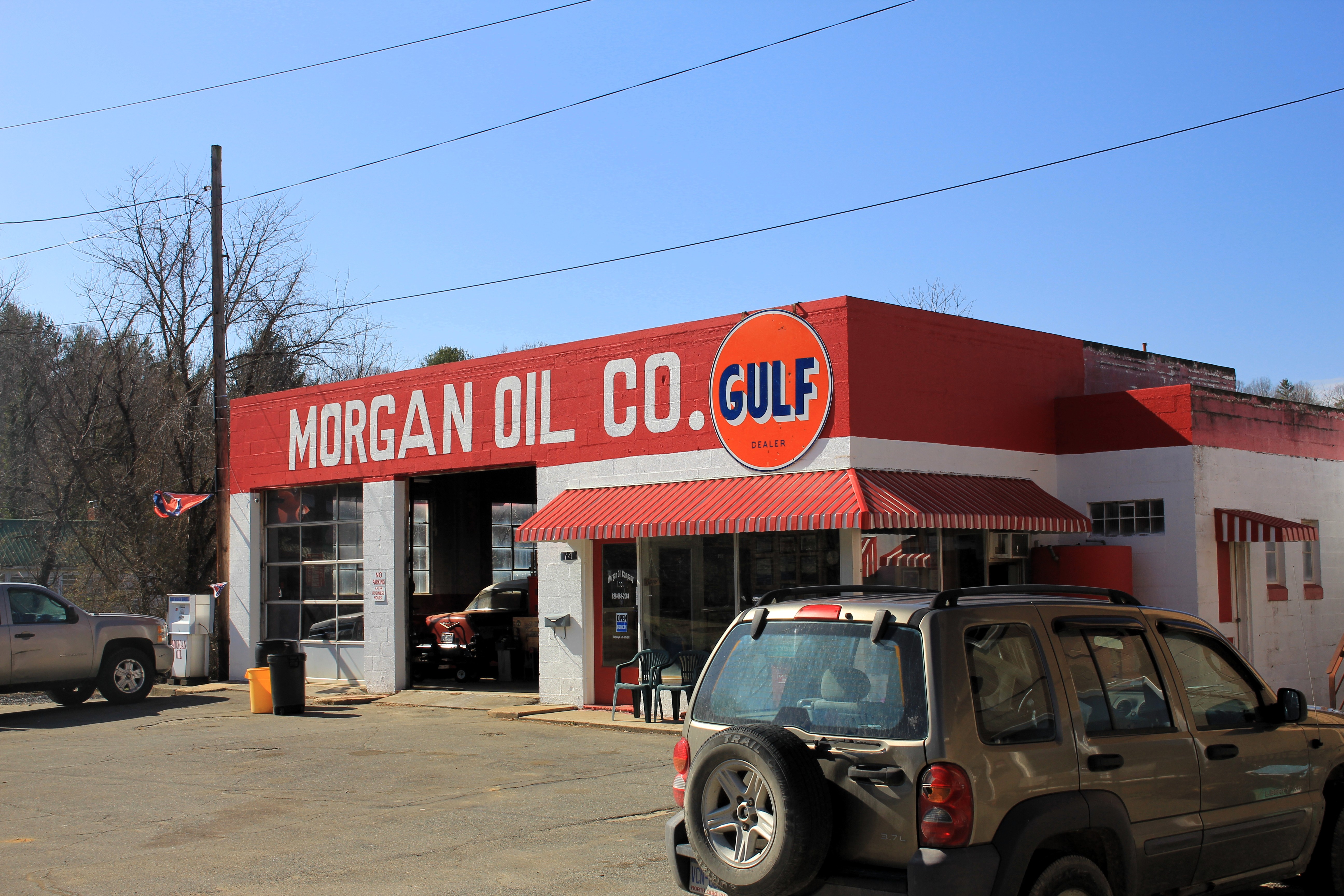
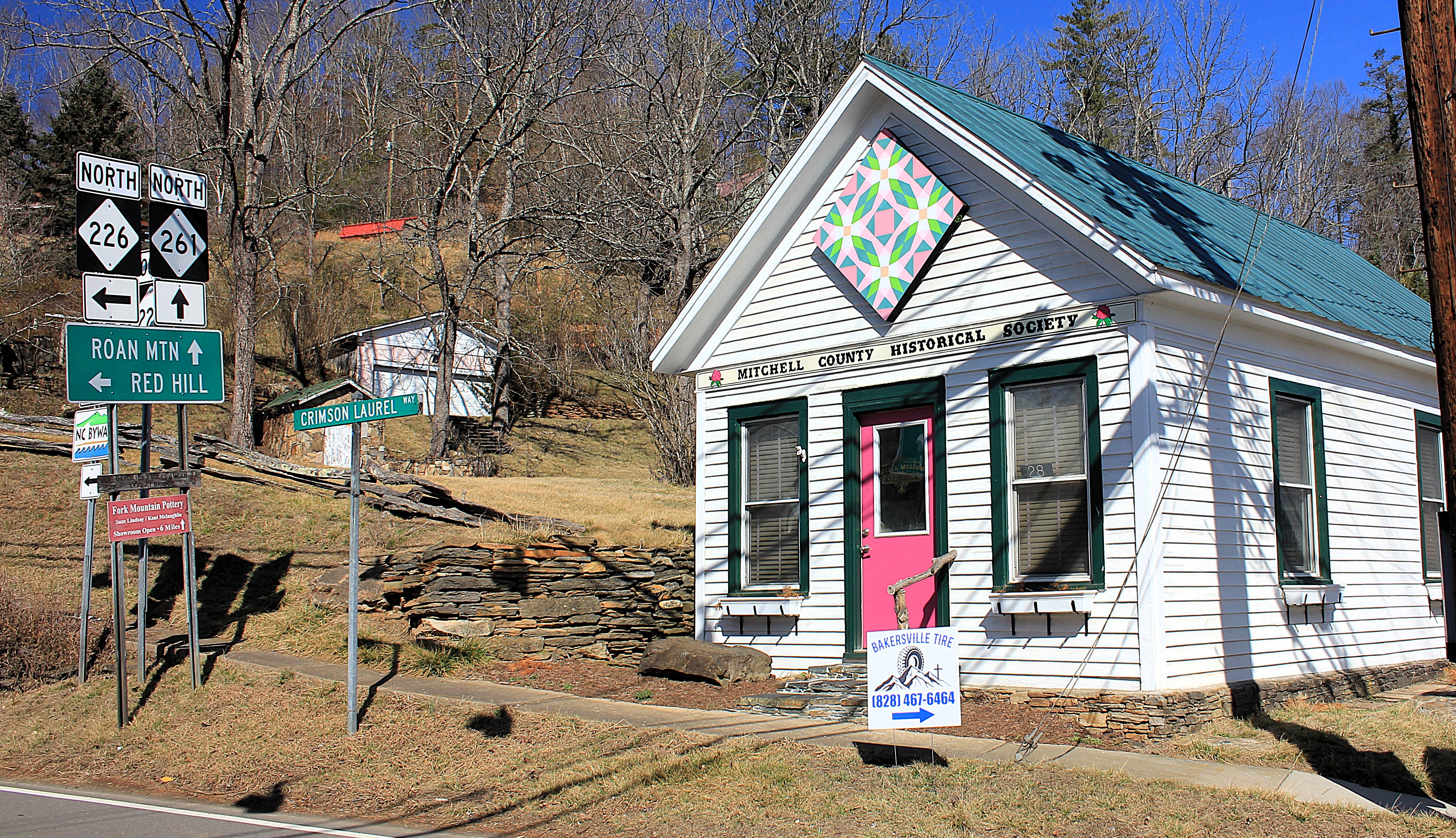
I finished up my visit to Bakersville with some random photographs of prominent structures around town. I like these photos a lot. I believe they depict the pleasant homes and hometown scenes that one is (happily) not surprised to find in small-town North Carolina.
Click here for a list of all TimManBlog American County Seats Series posts.
The photos in this post were taken on February 8, 2025, and are copyrighted by Tim Seibel.
Donations to TimManBlog
I post about a visit to one of America’s 3,150 county seats each month. Donations are greatly appreciated to help defray my travel costs.
$5.00
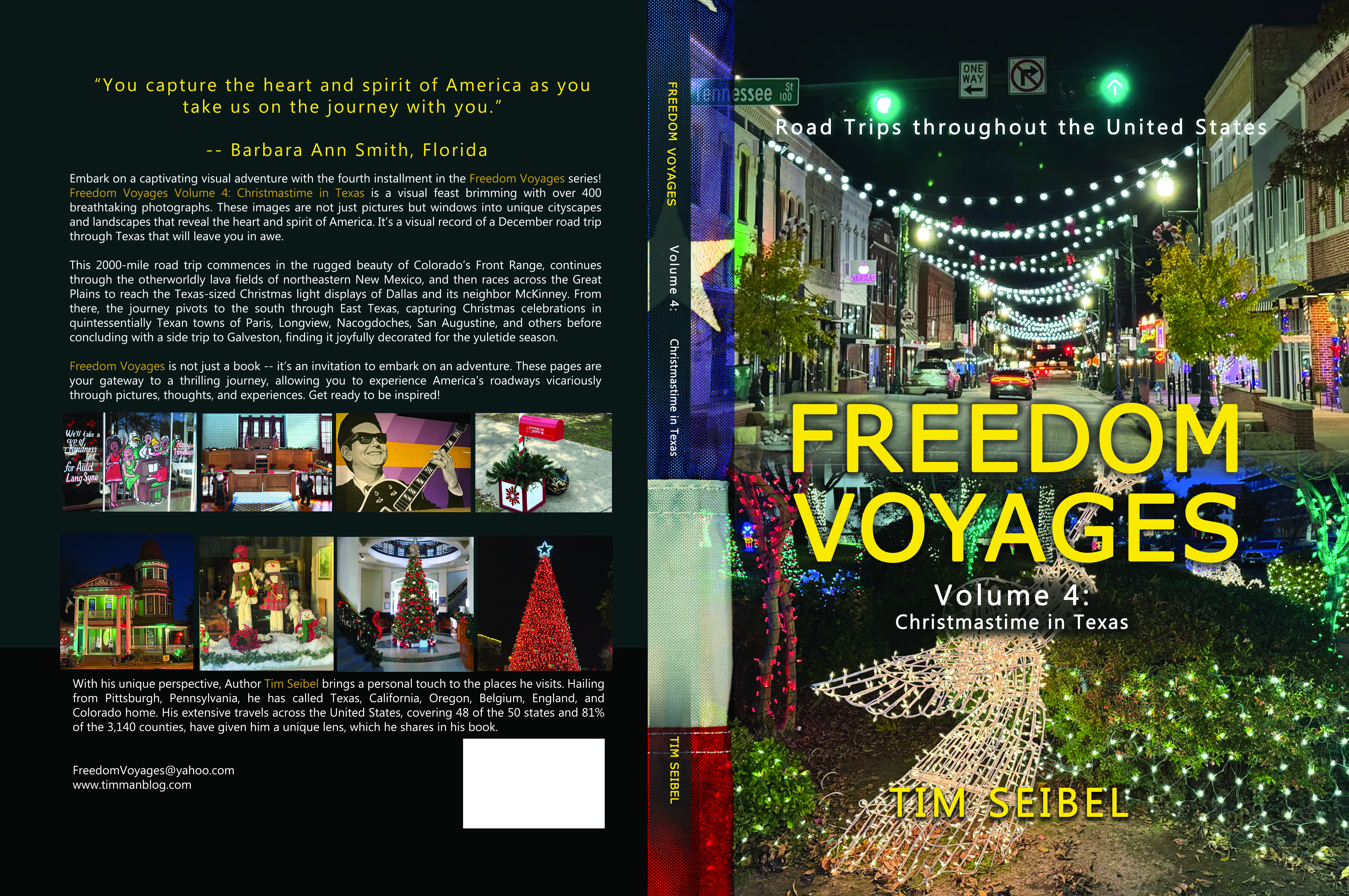
Check out the FREEDOM VOYAGES book series! These books document my road trips across the United States and include hundreds of stunning photographs. Each of the four books in the series is available on Amazon and Barnes & Noble. This includes my most recent release, FREEDOM VOYAGES Volume 4: Christmastime in Texas!
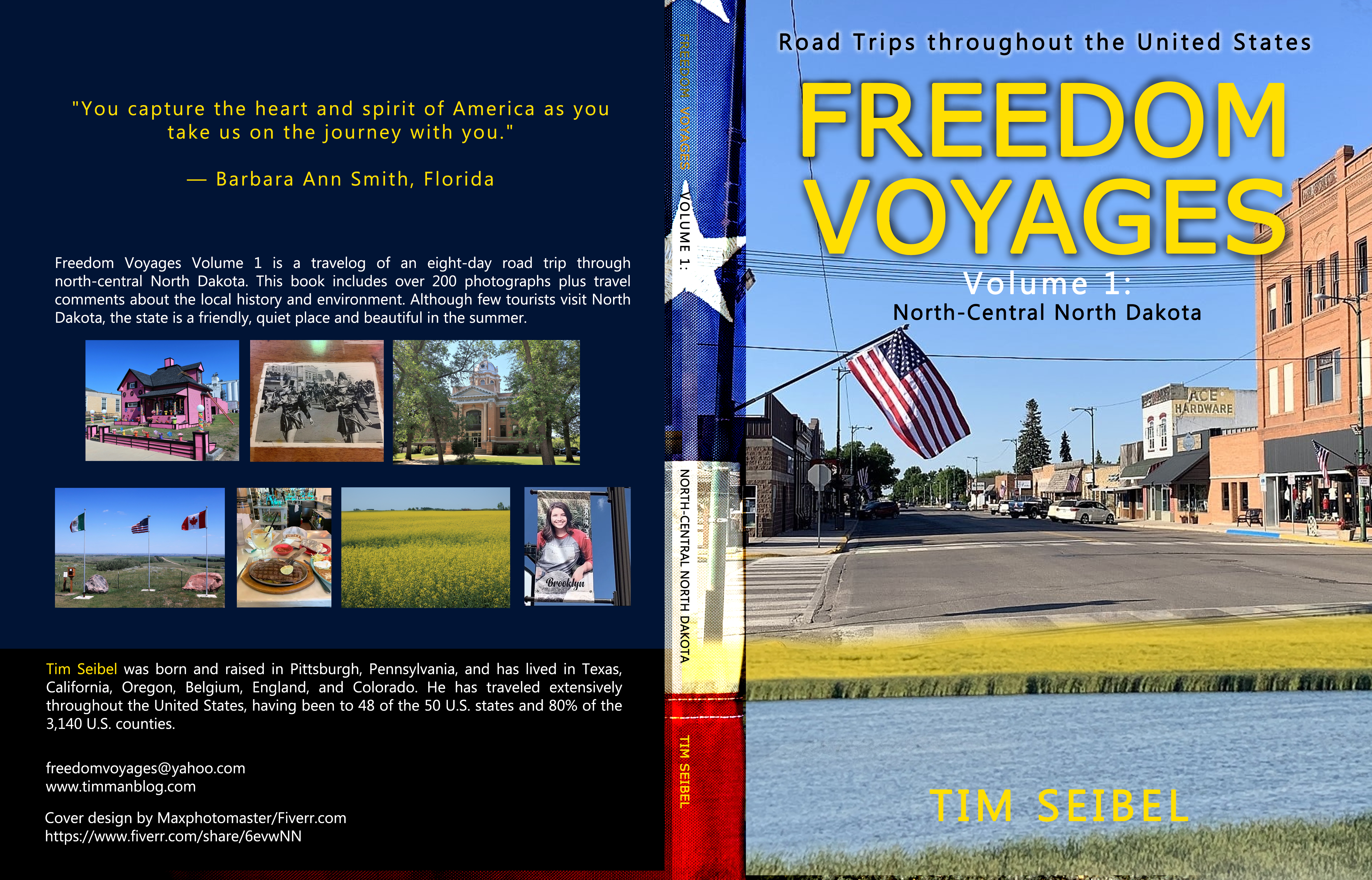
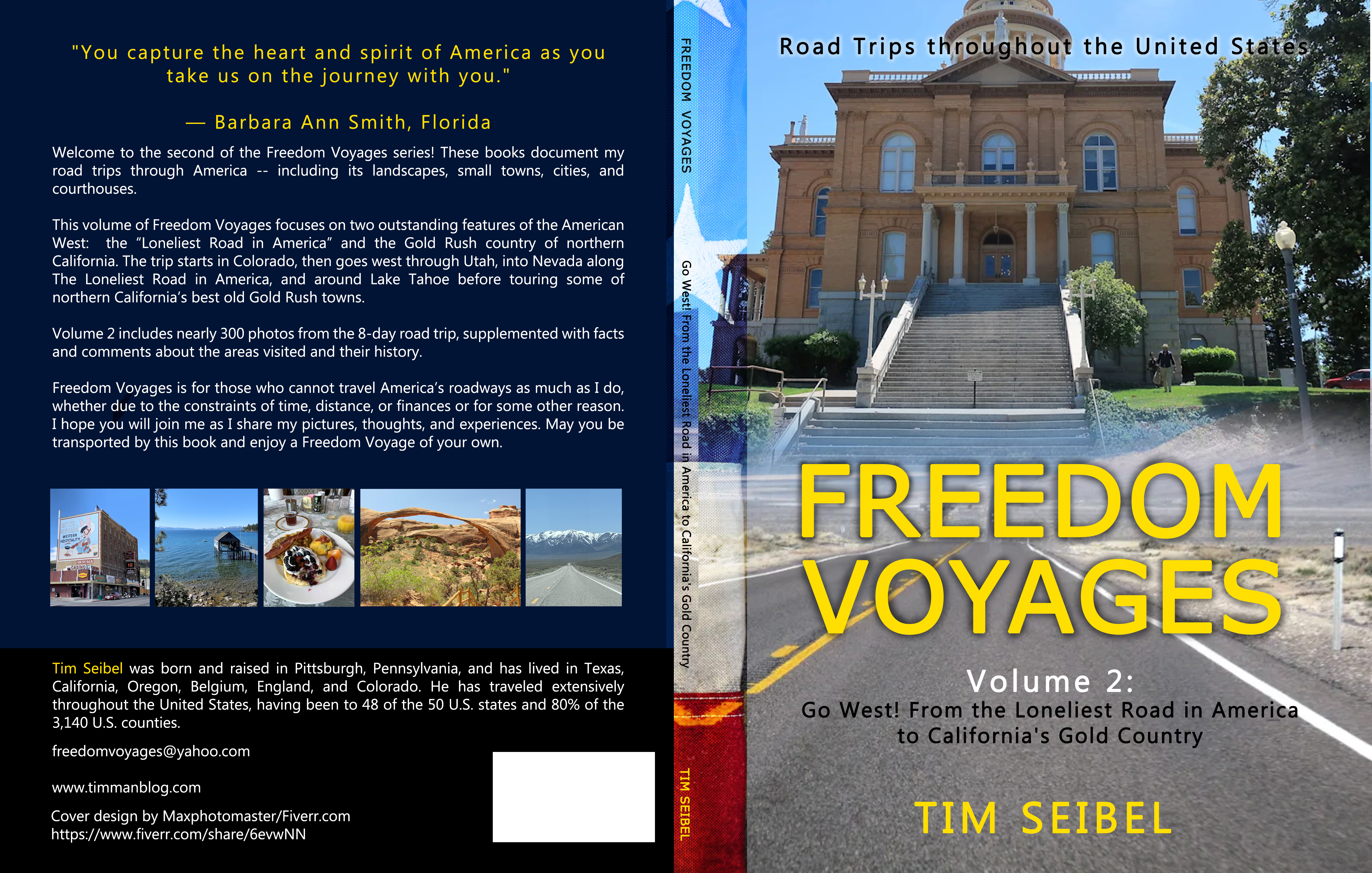
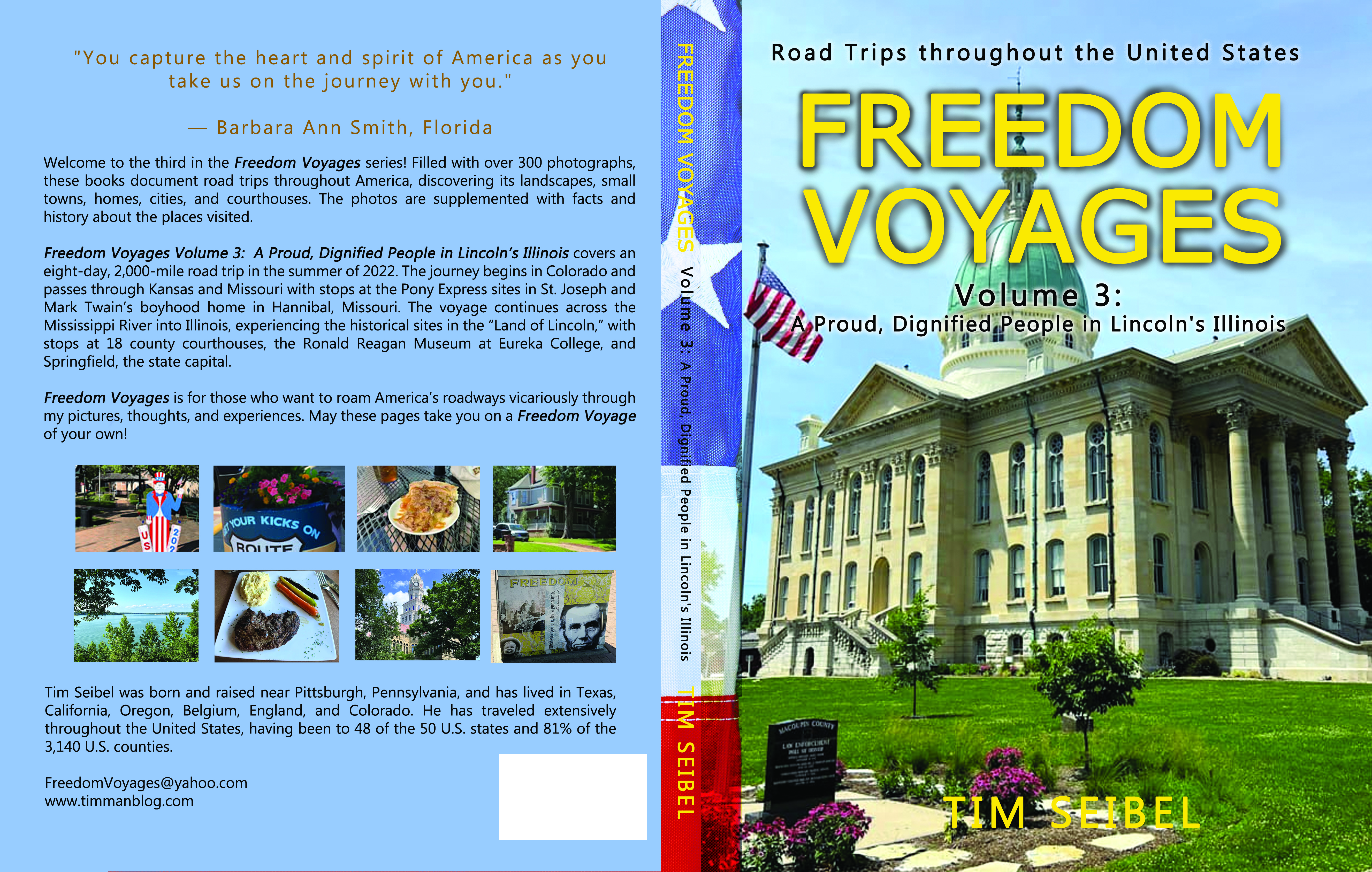
Earlier volumes in the FREEDOM VOYAGES series are also available:
Vol. 1: North-Central North Dakota
Vol. 2: Go West! From the Loneliest Road in America to California’s Gold Country
Vol. 3: A Proud, Dignified People in Lincoln’s Illinois
All FREEDOM VOYAGES books are on sale at Amazon.com and Barnes & Noble.