Calm and Community
July 31, 2020
Radio personality Todd Herman described the upcoming 2020 elections as a choice: “Chaos and Communism or Calm and Community.”
With a hat tip to Mr. Herman, I’ll borrow his phrase to describe what I saw on a little vacation road trip through Wyoming, Idaho, Montana, North Dakota, and South Dakota. Nothing but Calm and Community up there. Here’s my road trip chronicle — including breakfast photos! To drum up business for the deserving, I’ll throw in some links to some local businesses I patronized.
Nine Days Total. Enjoy!
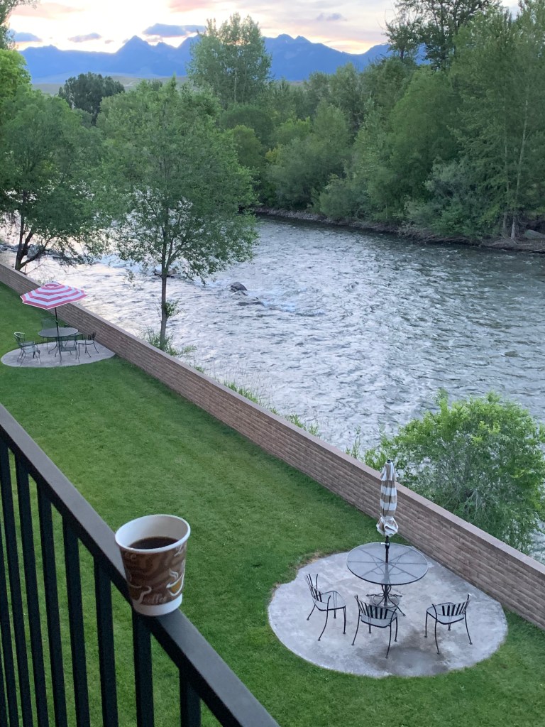
Friday, July 10, 2020, Day 1
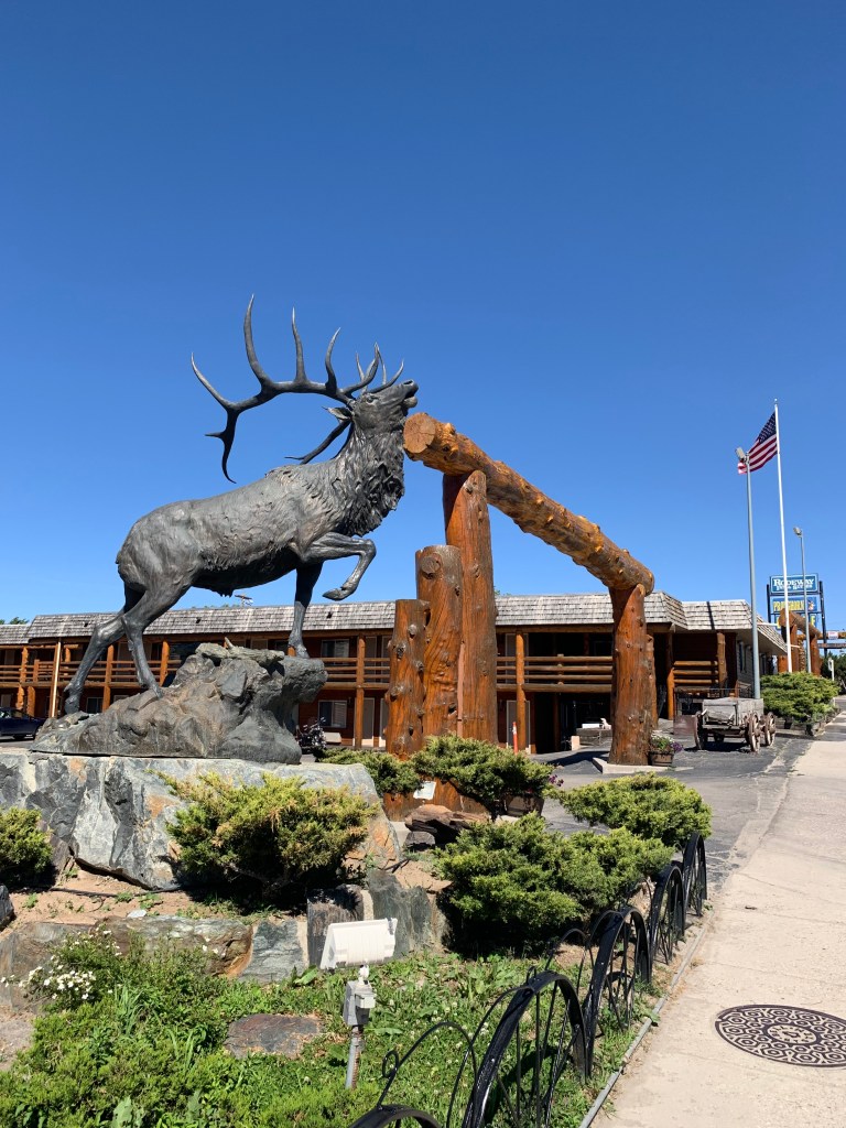
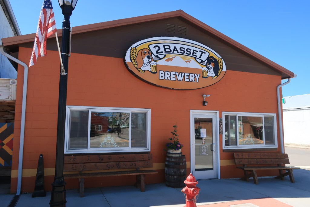
6-hour drive from Colorado up to Lander in central Wyoming, just northwest of historic South Pass. Lander is a smallish town (population 7,487) oriented towards tourists seeking outdoor recreation. Main Street boasts a brewery with live music on summer weekends and two ice cream stands.

A few links:
Pronghorn Lodge
Holiday Lodge Lander
To quench your thirst try the Lander Bar. Outdoor live music on Friday night.
Saturday, July 11, 2020, Day 2
Up with the dawn (5 am) and out the door by 5:30 in time to catch McDonald’s opening hours for an Egg McMuffin breakfast to go.
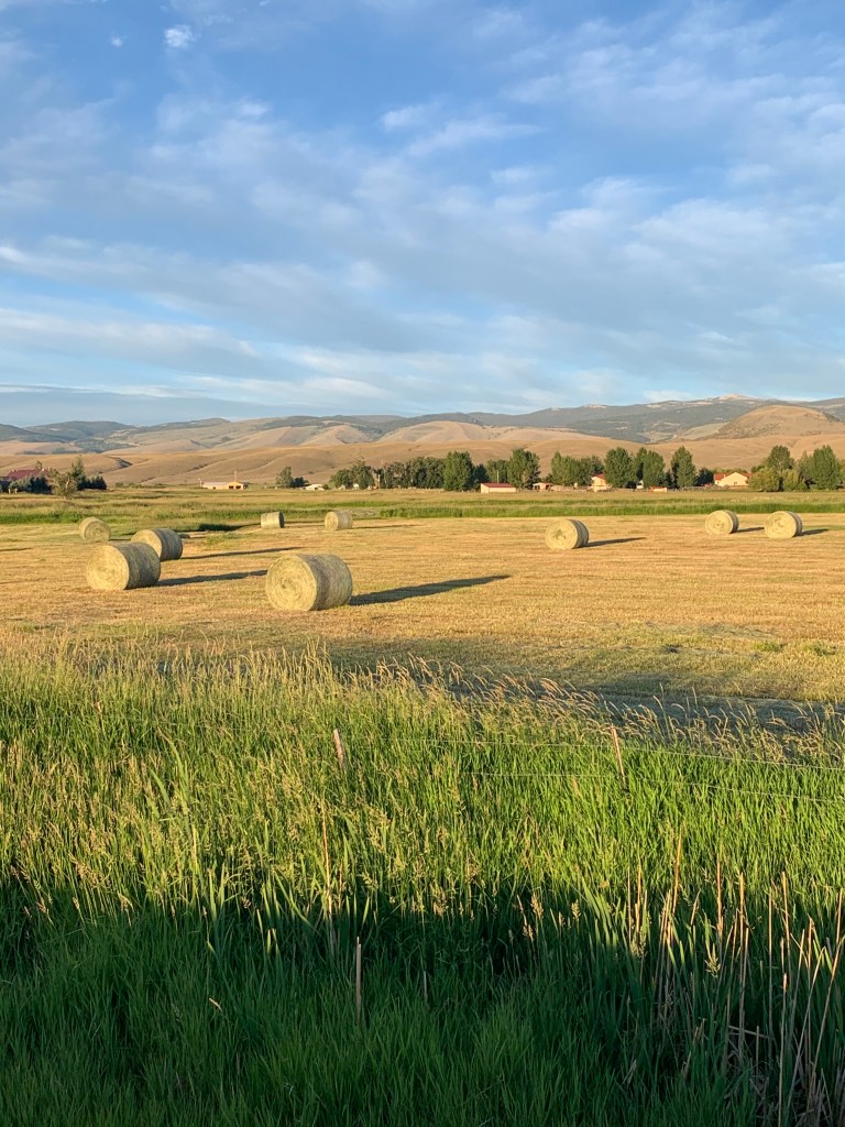
Just outside Lander along US 287, I caught some mid-summer hay fields in the early morning light. Those are the Wind River Mountains in the background.

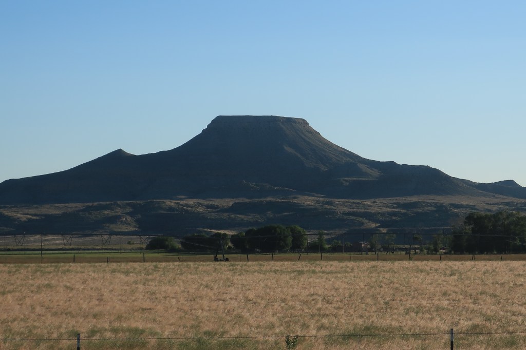
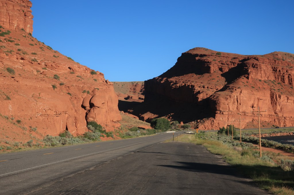
As the combined routes US 287 and US 26 head northwest towards the continental divide at Togwatee Pass, the human stories of this land become as dramatic and colorful as the scenery surrounding it. I pass Crowheart Butte — named for the grisly outcome of a long-ago battle over hunting grounds between the Shoshone and Crow tribes.

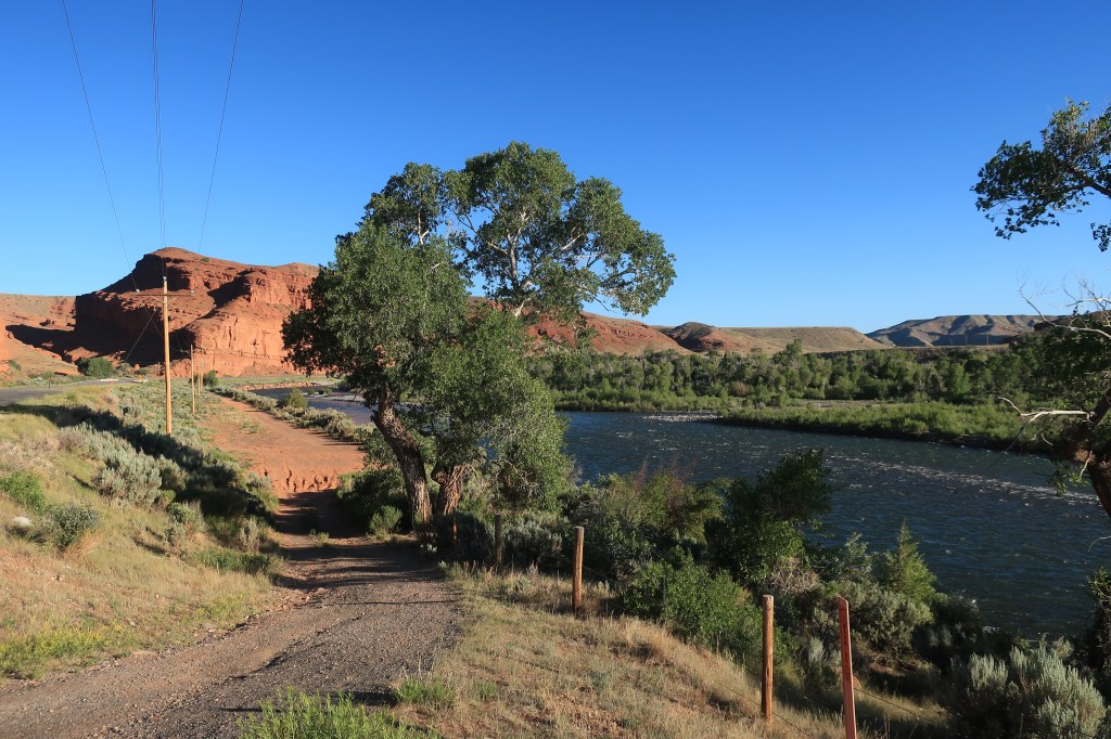
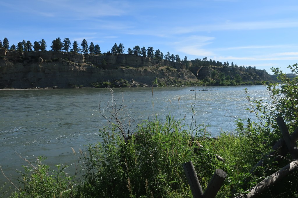
At a turnout a few miles up the road, the scenery gets even more colorful where Wind River breaks through a red rock canyon.


Highways 26/287 continue past the mountain town of Dubois, Wyoming, and on toward the Continental Divide. The road reaches the divide at Togwatee Pass.

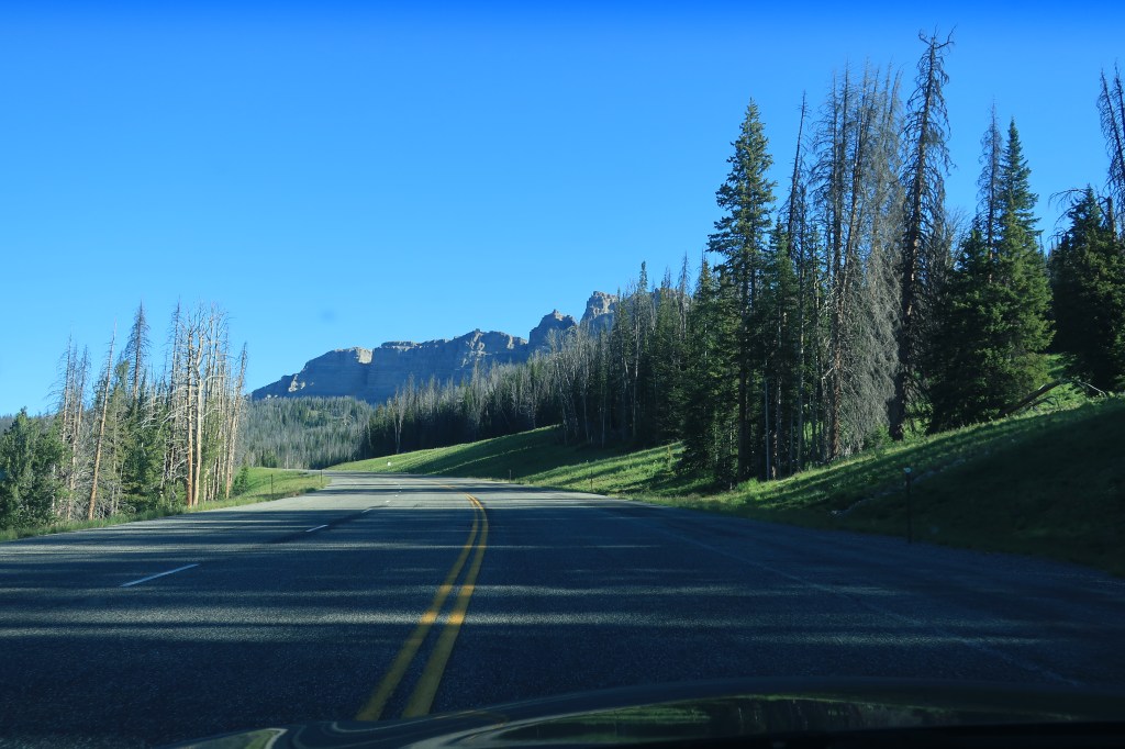
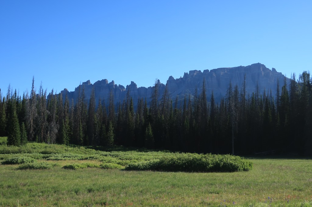
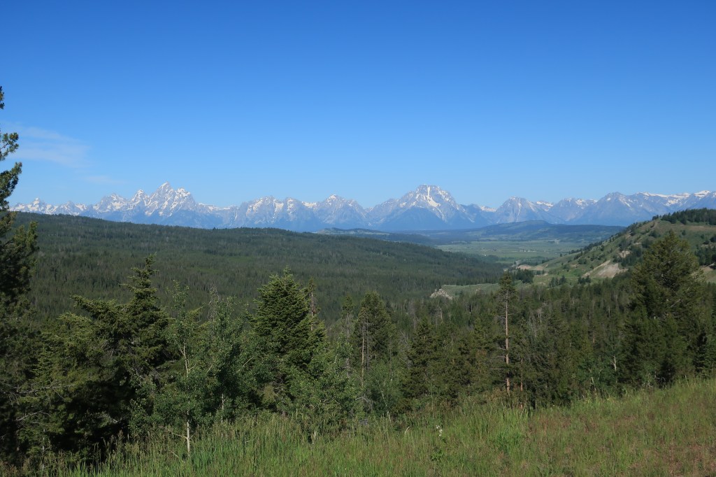
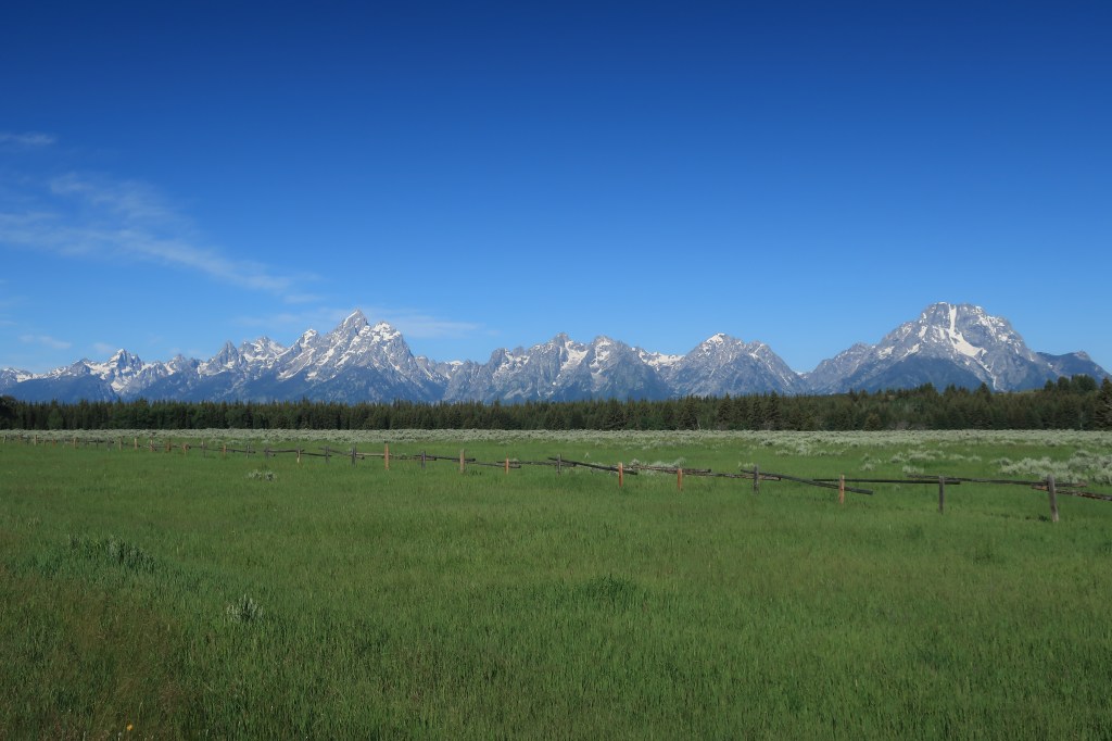
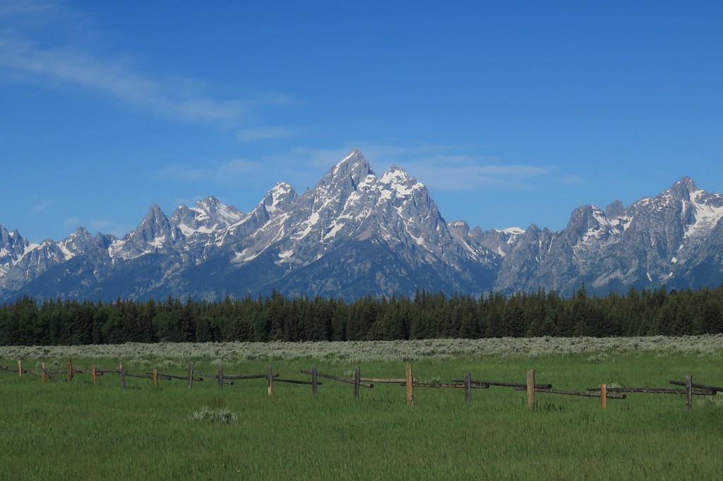
On the western side of the pass, the peaks of the Grand Tetons come into view, getting larger in the windshield as the miles went by.
For the next 4 hours I drive west through Idaho farming country, stopping only for a Jack-in-the-Box burger in the industrious town of Rexburg, Idaho and at a gas station in Dell, Montana along Interstate 15.
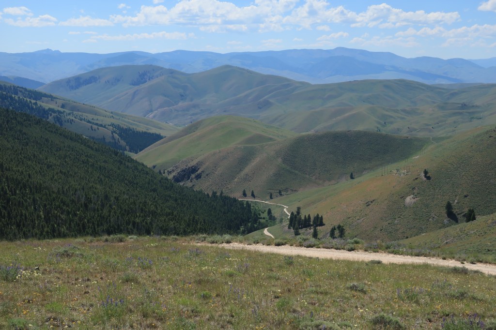
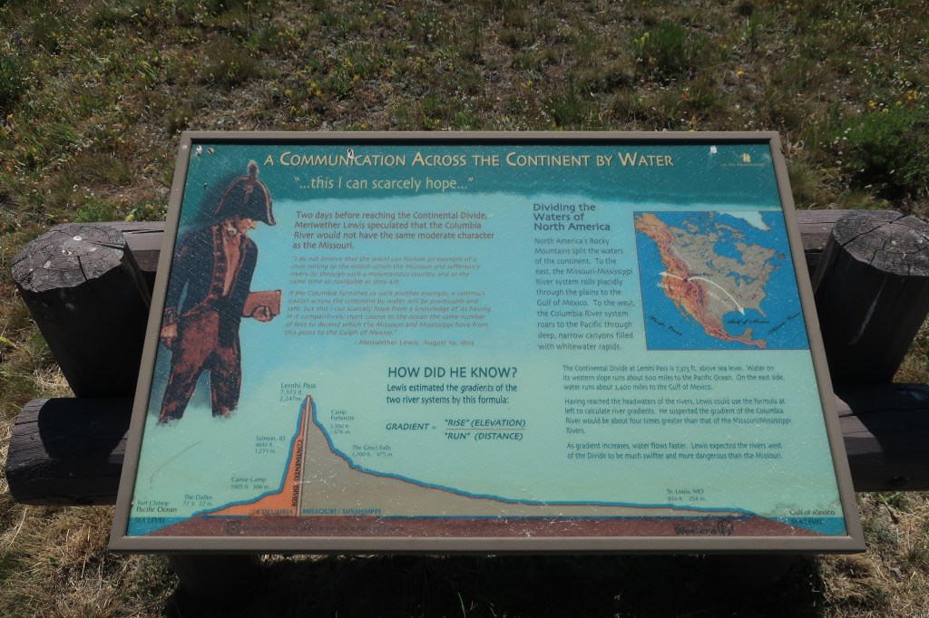
Lemhi Pass, where Lewis & Clark crossed the Continental Divide on their way across the continent to the Pacific.


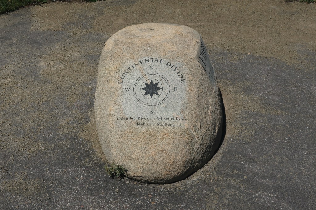
Looking west from the summit of Lemhi Pass. On August 12, 1805, Captain Meriwether Lewis finally reached the Continental Divide at this place. Lewis viewed the same aspect as in the attached photo — mountain ranges as far as the eye can see — and realized that there was no Northwest water passage along this route. Today, July 11, 2020, from the very spot where Meriwether Lewis stood in 1805, I dictate my words into an i-phone, take a photo with that same phone, and post both the words and the picture for the entire world to see — instantly.
Sunday, July 12, 2020, Day 3
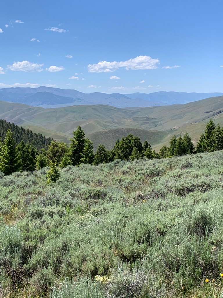
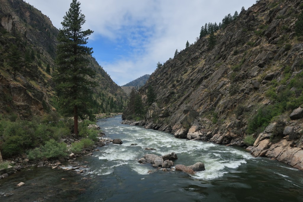
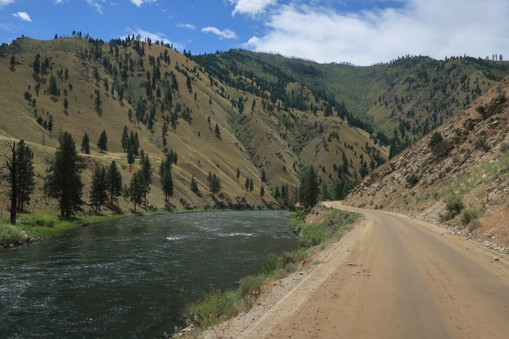
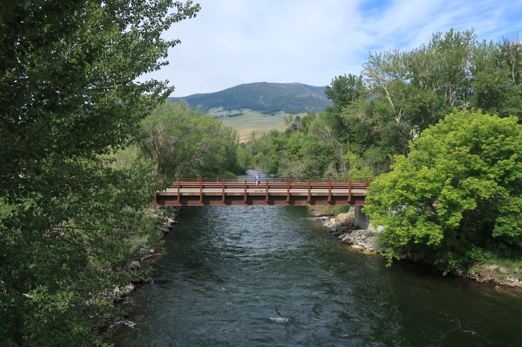
Sunday was a day of rest, mostly, except for a drive along the rapids of the Salmon River.
After crossing the Continental Divide at Lemhi Pass, Lewis and Clark figured they would make dugout canoes from the local timber and just float their way downstream until they reached the Columbia River and the Pacific Ocean. Captain William Clark, a master boatsman, reconnoitered the Salmon River on horseback for some 20 miles below current day North Fork, Idaho. Seeing the river’s extreme rapids and rocky banks, it was near this exact point that Lewis and Clark gave up on the water route down the Salmon.
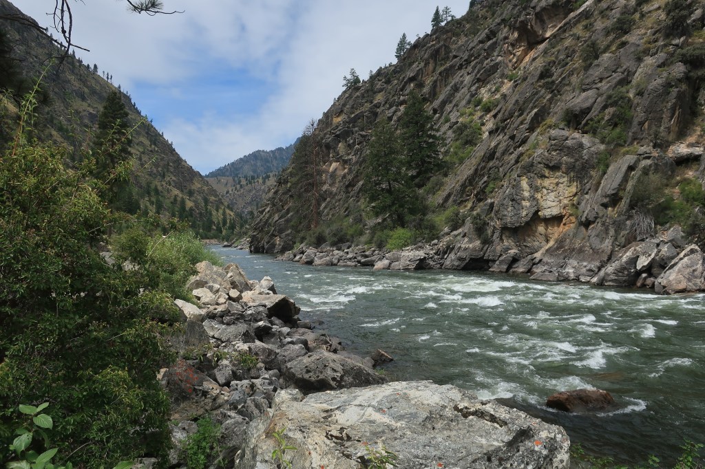
The Salmon River rollicks through these mountains for hundreds of miles and is, in fact, far too dangerous for travel by dugout canoes. These days, however, scientifically designed inflatable rafts take whitewater rafters downriver all the time — young and old, human and sometimes canine, with oars and usually beers in hand.
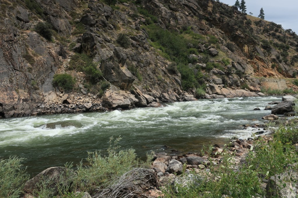
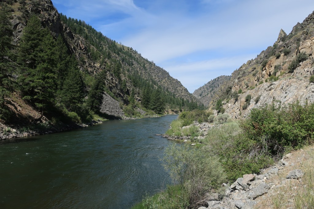
The dirt road along the banks of the Salmon ends just below the point where the Middle Fork of the Salmon joins the main branch. Beyond this lies the River of No Return Wilderness, perhaps the most remote area in the continental United States.

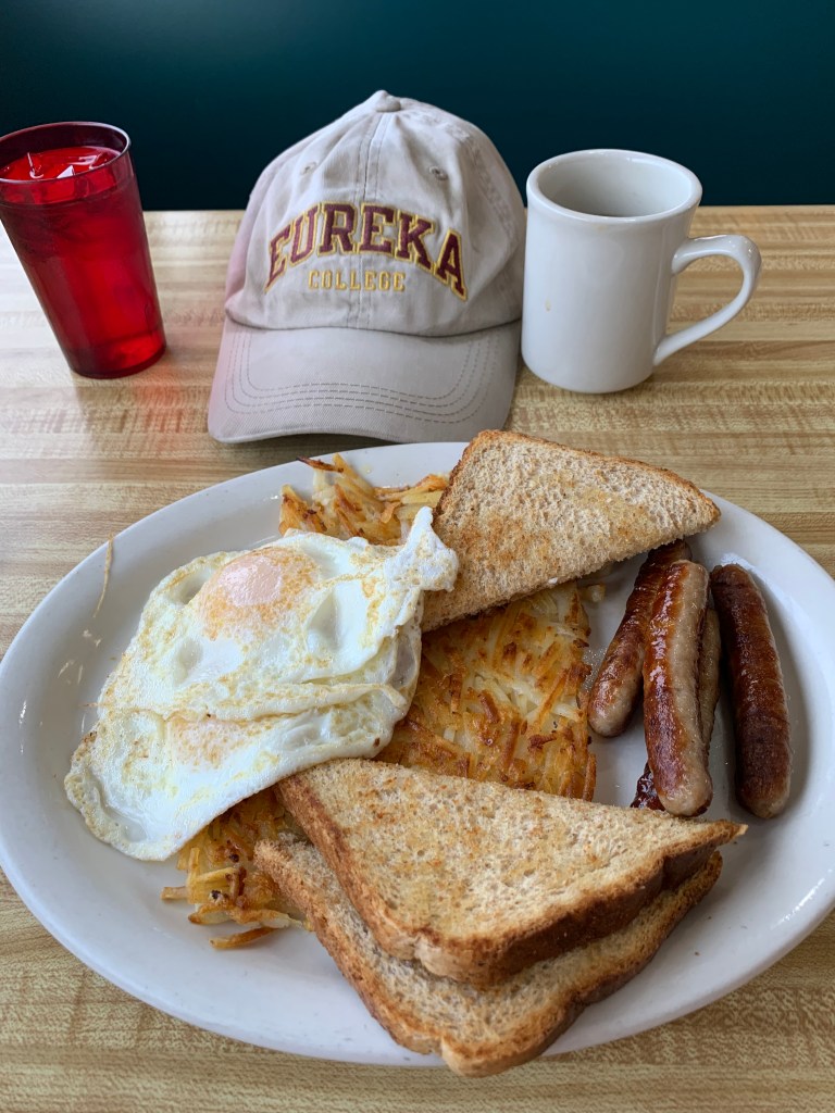
Monday, July 13, 2020, Day 4
Salmon, Idaho has beautiful mornings:
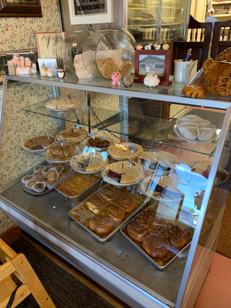
Breakfast at the Red Dog Diner on Main Street, which is actually part of a gas station. Aren’t all the best bbq places located in gas stations, like Joe’s in Kansas City? In this gas station, you get breakfast and can listen to the local old men talk politics.
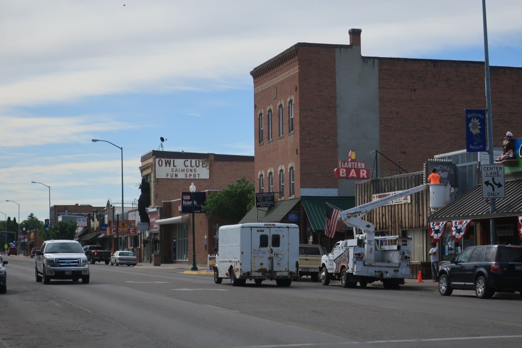
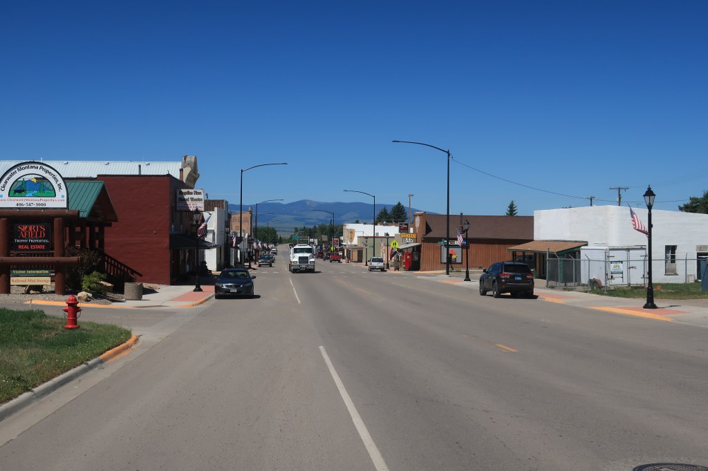
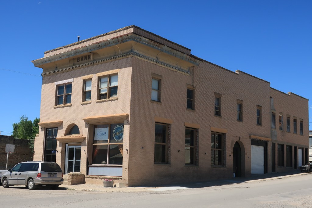
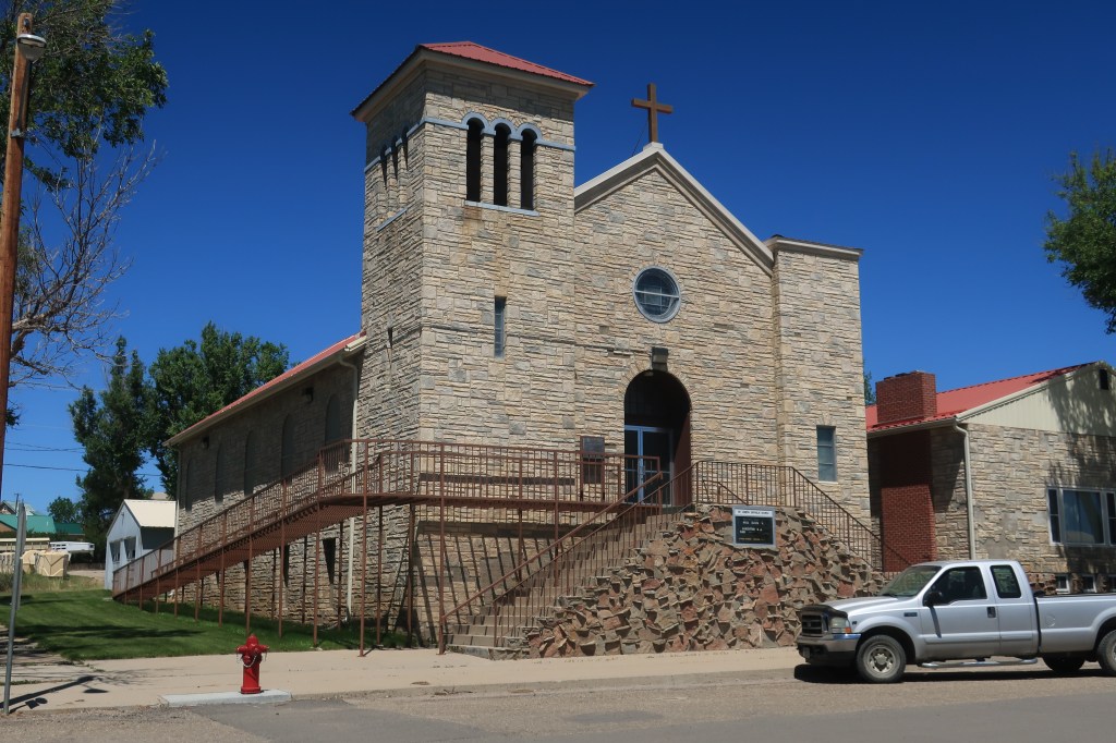
Here’s a look around the calm community of Salmon, Idaho, population 3,112 and county seat of Lemhi County:


Links:
Bear Country Inn
Stagecoach Inn Salmon
Red Dog Diner
Junk Yard Bistro
St. Charles Catholic Church, Salmon
Back in the car by mid-morning. I’m heading north to Missoula, Montana the east to Helena.

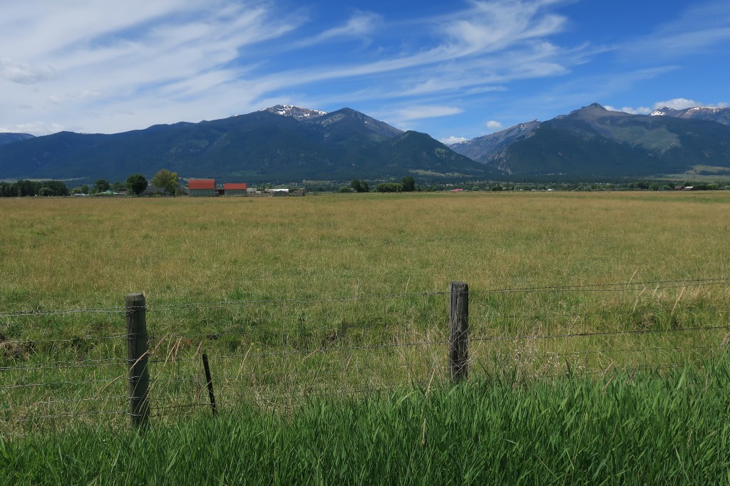
Following Lewis & Clark’s route (for a while) north into Montana’s secret Bitterroot Valley. Huckleberries grow here and I had to include them in my lunch in Hamilton, Montana (population 4,348 and growing fast).


Link:
Coffee Cup Cafe, Hamilton, Montana
On a whim, I decided to get off US 93 and take a backroad up to Missoula. I stopped for this:

Link: Holiday Inn Express, Helena, Montana (population 28,190)
Tuesday, July 14, 2020, Day 5
Breakfast at Steve’s Cafe in Helena!
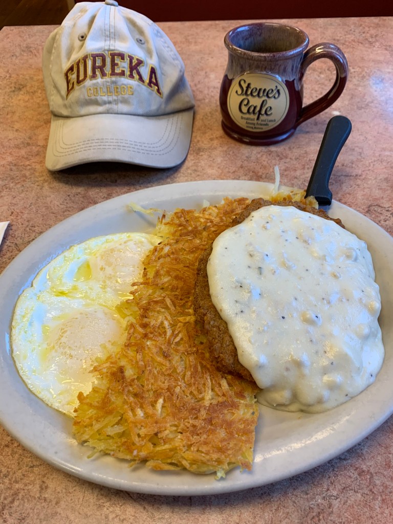
Link: Steve’s Cafe, open for breakfast and lunch among friends. Click the link — just looking at the photo will make you hungry.
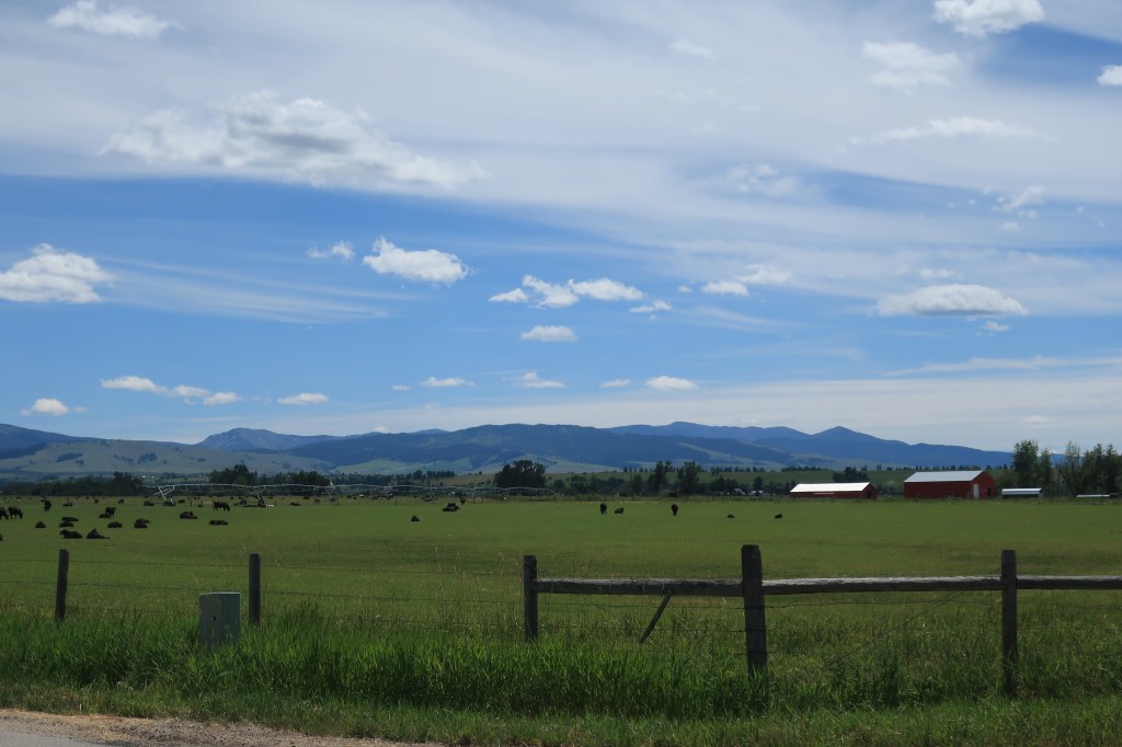
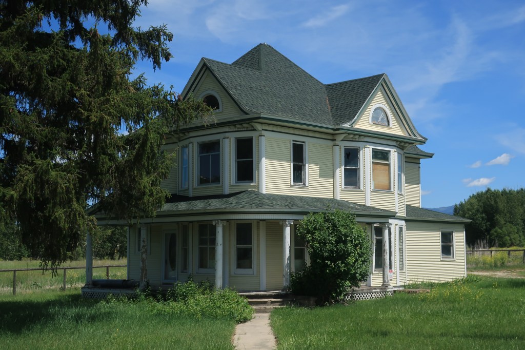
Today I’m off across the Montana plains to see some small towns and courthouses. First stop, Townsend (population 1,878).
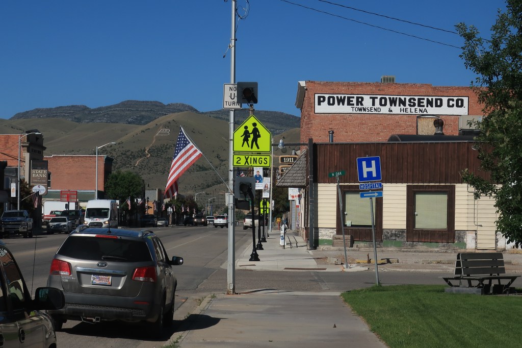
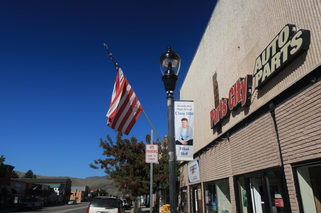
The practice of putting photos of graduating seniors on town light poles will become a theme among Montana towns I visit today.

On down the road, through some hills and ranches to White Sulphur Springs, Montana (population 939).

Next stop: Harlowton, Montana (population 997)

Late in the afternoon, I arrived in Billings, Montana (population 109,577). I took some photos from the ridge above the city.
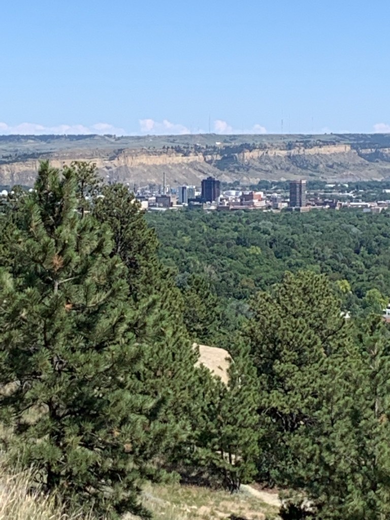
I’ve enjoyed each of my many visits to Billings. Billings has a surprisingly vibrant downtown with a good choice of hotels, restaurants, steakhouses, brewpubs, and Montana casinos. A few short blocks away, old-town Billings has its own group of bars and restaurants clustered around the old train station.
Links: most convenient yet affordable lodging in downtown Billings: The Clocktower
Fanciest restaurant in Billings ($30-50 per person): Walkers Grill. See and be seen at the bar, if you’re into that.
Wednesday, July 16, 2020, Day 5
Breakfast!

Link: Stella’s Kitchen and Bakery
Breakfast is free with a night’s stay at the Clocktower. Opens early at 5:30. Dare yourself to walk out of this place without one of their giant cinnamon rolls.
Pompey’s Pillar:
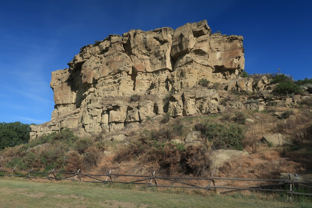
Pompey’s Pillar National Historic site lies about an hour east of Billings along I-94. The rock formation along the Yellowstone River has been used as a landmark and register for travelers for centuries. Its most famous signatory carved his name into the rock in 1806:

William Clark and half of the Lewis and Clark expedition came this way on their return trip from the Pacific in the summer of 1806. Clark inscribed his name and named the edifice “Pompey’s Pillar” after Sacajawea’s infant son, who was nicknamed “Pomp” by the crew. Captain Lewis and the other half of the company were exploring the Marias River in northern Montana at the time. The two groups would rendezvous at the junction of the Yellowstone and Missouri rivers shortly thereafter.
Visitors can climb up to see the preserved markings:

The area has a calm, park-like setting.

I stopped in Baker, Montana (population 1,741), near the North Dakota line, to find another town honoring its graduating seniors with lamppost fame. Perhaps the town does this every year, but it’s a very nice gesture for the class of 2020 who didn’t have a formal graduation ceremony. I’ll do my part to make them famous.
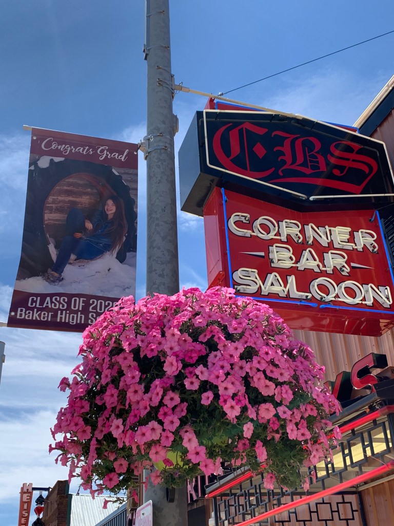
Link: Corner Bar Saloon, Baker. Sandwiches for lunch for me. Sat at the bar without drinking. Stuck a $20 in one of the Montana video poker games and quit with $22.50. Pool tables were not being used during the lunch hour.


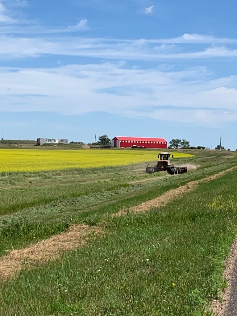
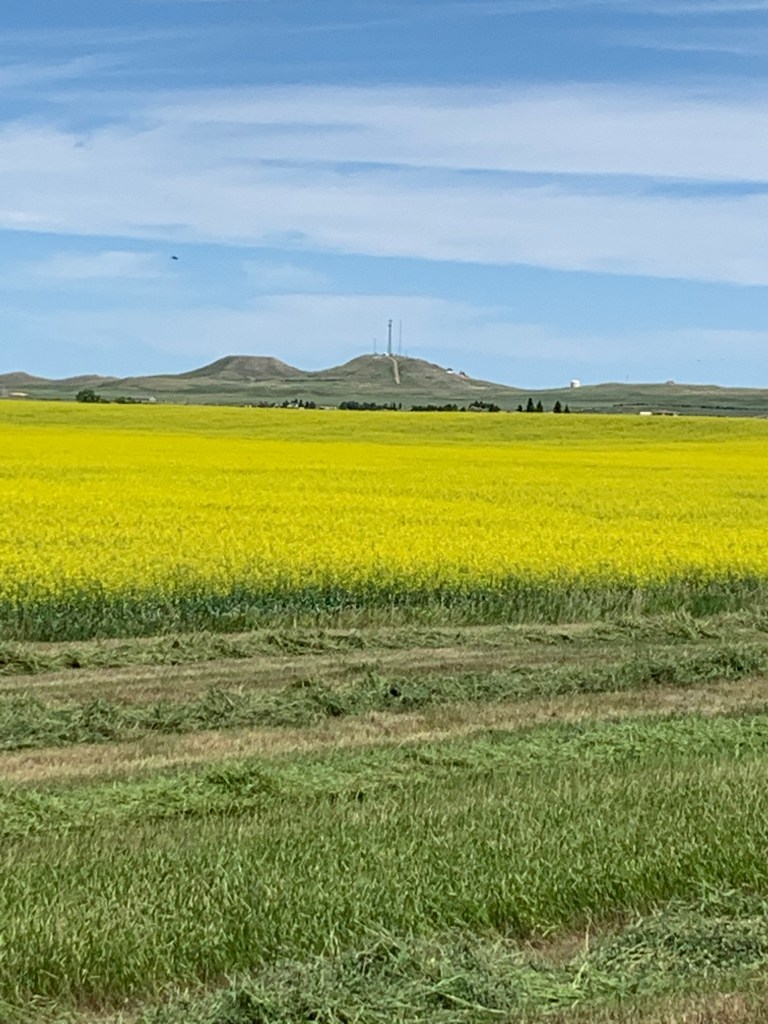
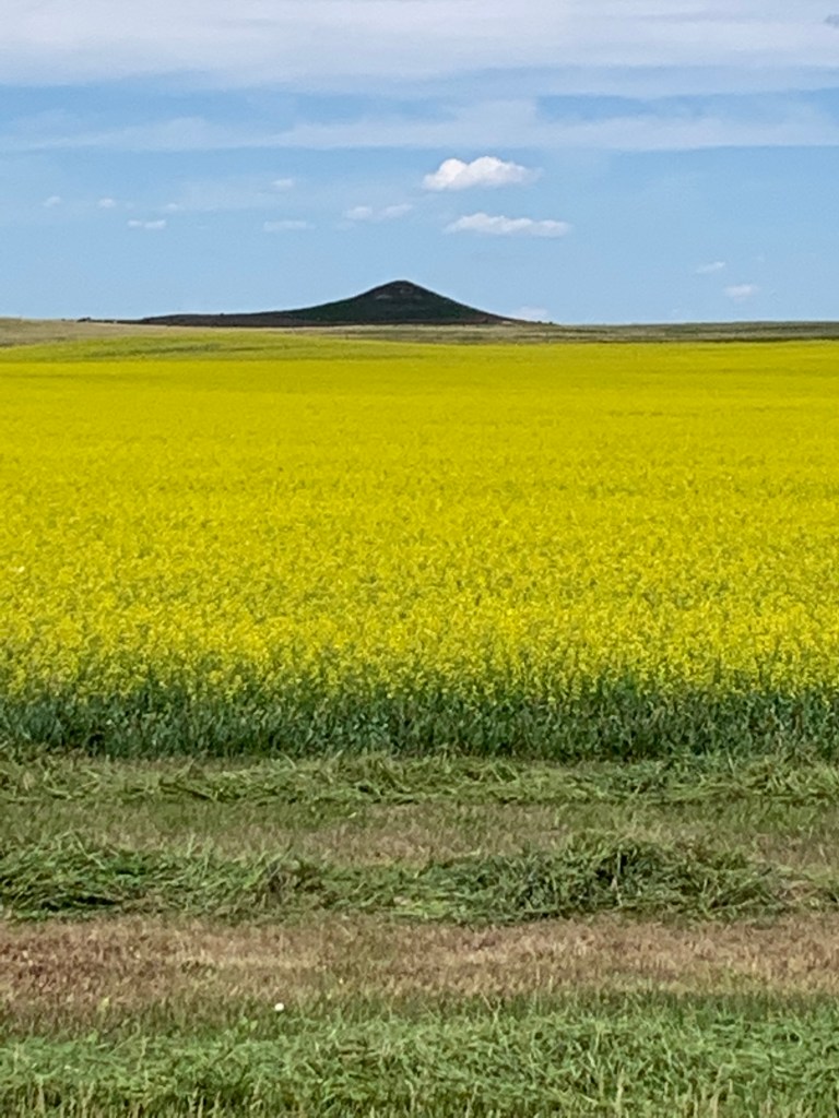
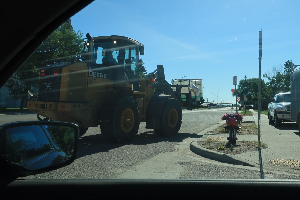
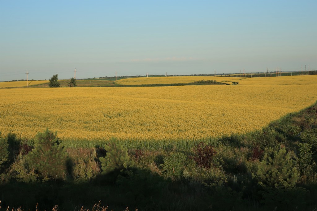
Into North Dakota. Wide fields of canola near the town of Bowman (population 1,650) in the extreme southwestern part of the state.
Amidon (population 20), Slope County, North Dakota once billed itself as America’s smallest county seat, but no longer. Wikipedia has the skinny (link):
Amidon was the smallest incorporated county seat in the 2000 census. When the 2010 census reported its population as 20, it became the second-smallest incorporated county seat after Brewster, Nebraska, with a population of 17. In 2000, Amidon had 26 people to Brewster’s 29.
In the whole of the U.S., only two other unincorporated county seats are smaller than Amidon: Mentone, Texas (population 19), the county seat of Loving County, and Gann Valley, South Dakota (population 14), the county seat of Buffalo County, South Dakota.


I end the day with a long drive to Minot (population 40,888), North Dakota, past oil wells, fracking towers, and wide bright canola fields sprinkled with glacial ponds called ‘sloughs’ (more on those later).
Link: Staybridge Suites Minot
Thursday, July 16, 2020, Day 7
Hotel breakfast. Mistake. Should have eaten at Denny’s down the road.
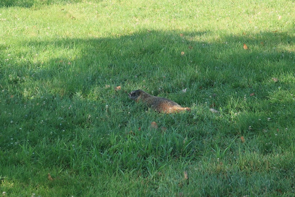
I was rewarded with an early morning view of the Upper Souris National Wildlife Refuge, northeast of Minot.


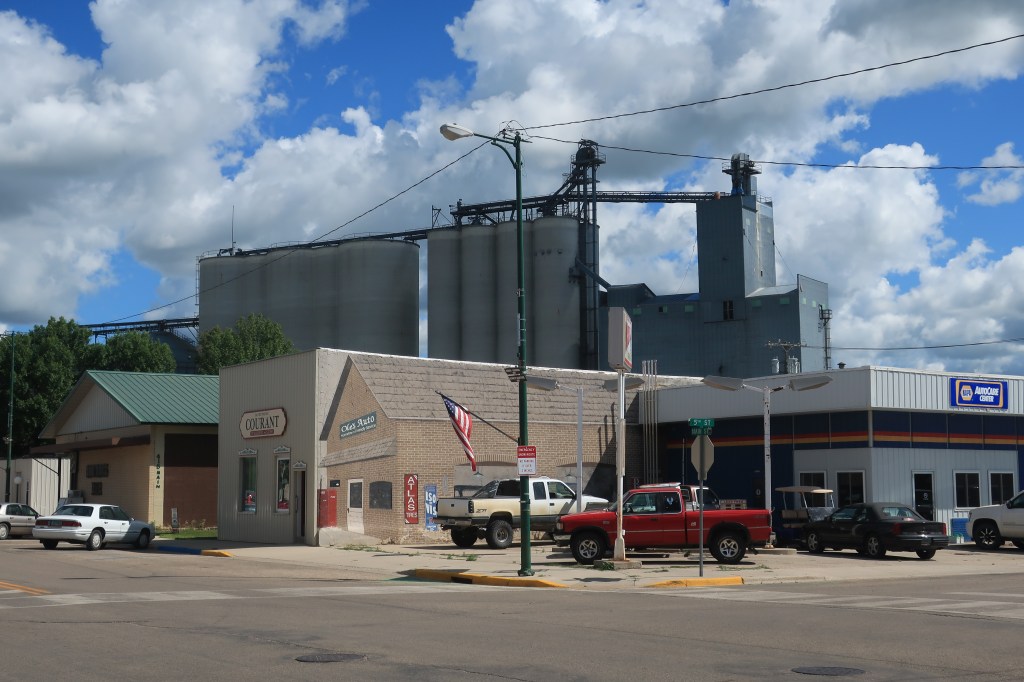
The town of Mohall (population 783), Renville County North Dakota. This is one of my favorite photos of the whole trip — a city worker using a heavy forklift to carry a crate of water and a sprinkler attachment to water all the town’s flower pots.
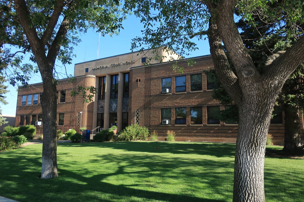
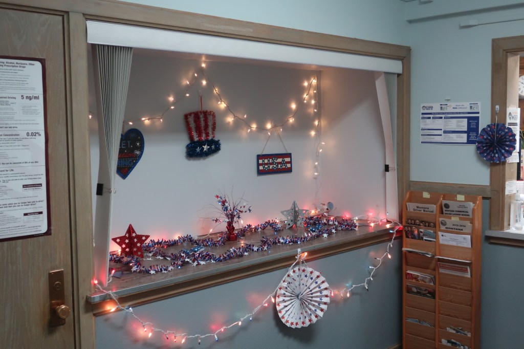
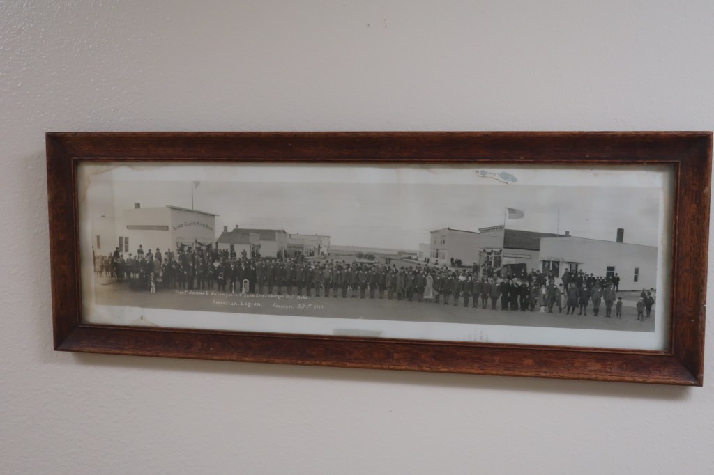
Finally, this. Found in a basement meeting room of the county courthouse.

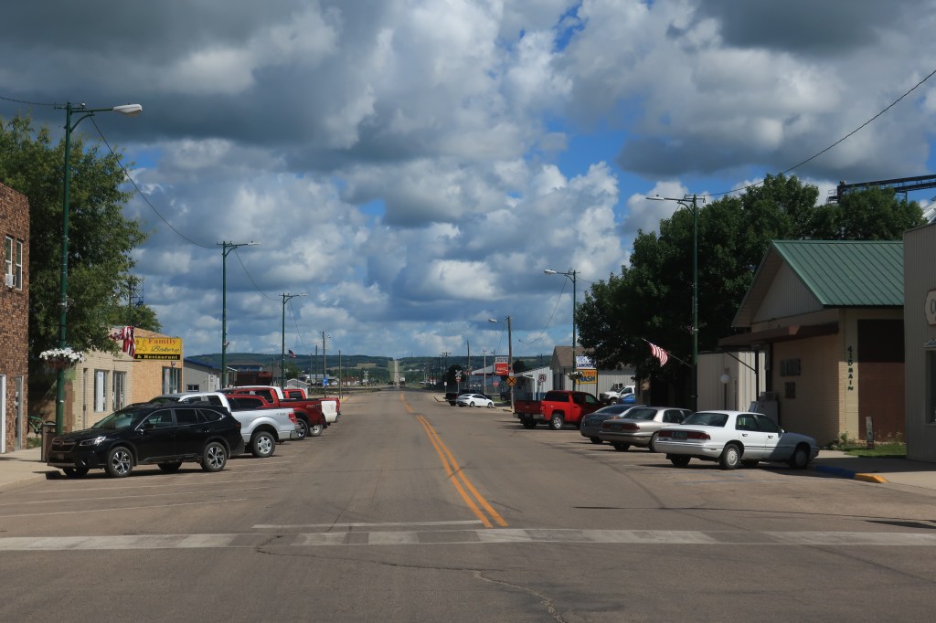
The town of Bottineau, North Dakota, with a population of 2,211.

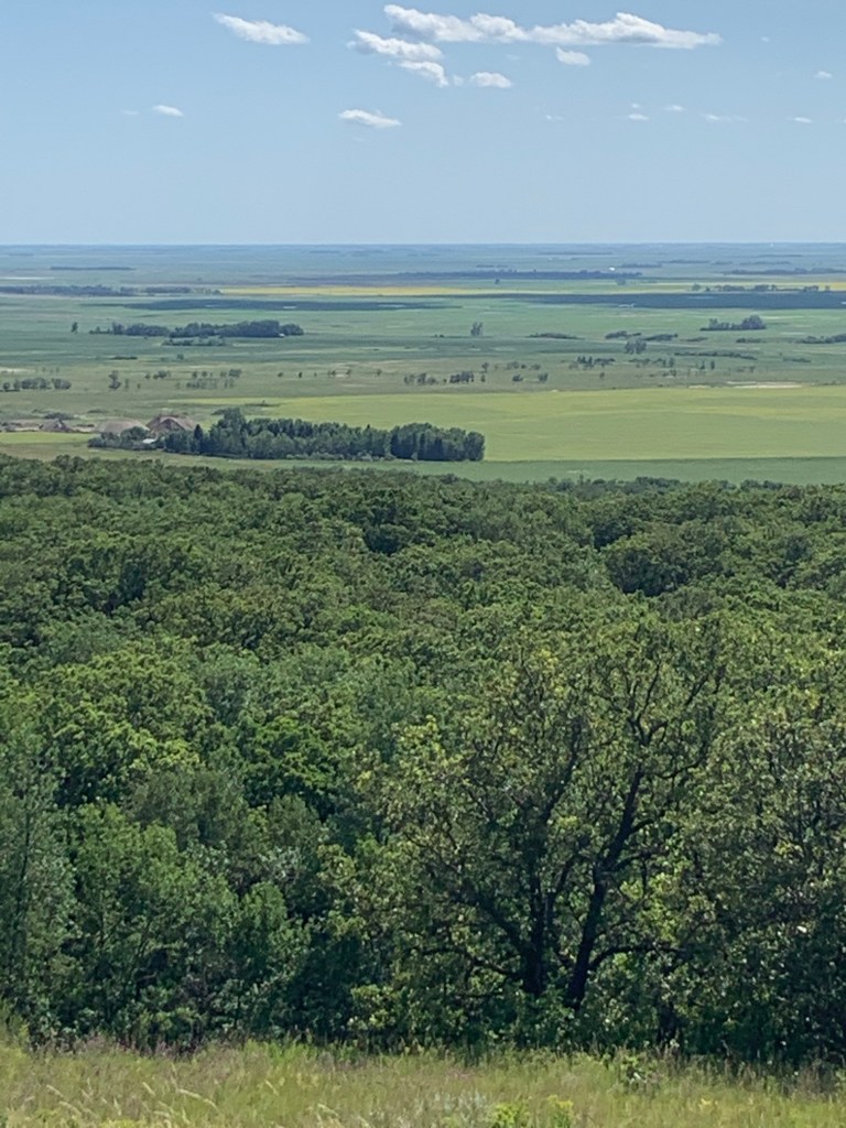
In the background of the next photo, Main Street can be seen ascending into the heights north of town. These heights are a plateau known as Turtle Mountain. More on Turtle Mountain later.

Somehow I missed the highlight of Bottineau, the Pride Dairy. They are the last small town creamery in North Dakota, yet they supply their ice cream, cheeses, and syrups to locations as far away as Mount Rushmore. Hint: try their ice cream bars, called ‘Cow Pies.’ Larger and more delicious than the average ice cream bar.
Link: The Pride Dairy
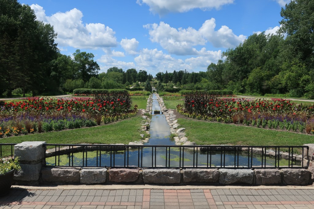
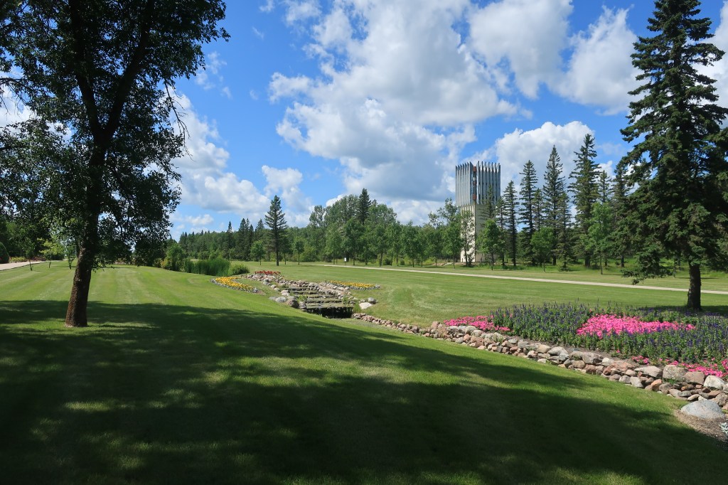
The International Peace Garden:

Link: The International Peace Garden. Situated literally on the boundary line between North Dakota and the Canadian province of Manitoba, this park was dedicated on July 14, 1932, to peace between the two large North American neighboring countries. This site in particular was chosen with a nod to its location near the geographical center of North America.


It was here in the Peace Garden gift shop that I first tried ice cream from the Pride Dairy in Bottineau — and was so sorry I hadn’t stopped at their ice cream parlor when I was in town. Their ice cream is fantastic!
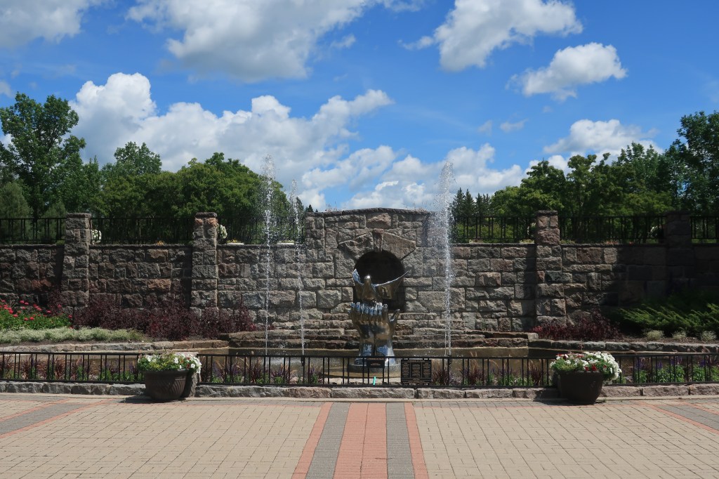
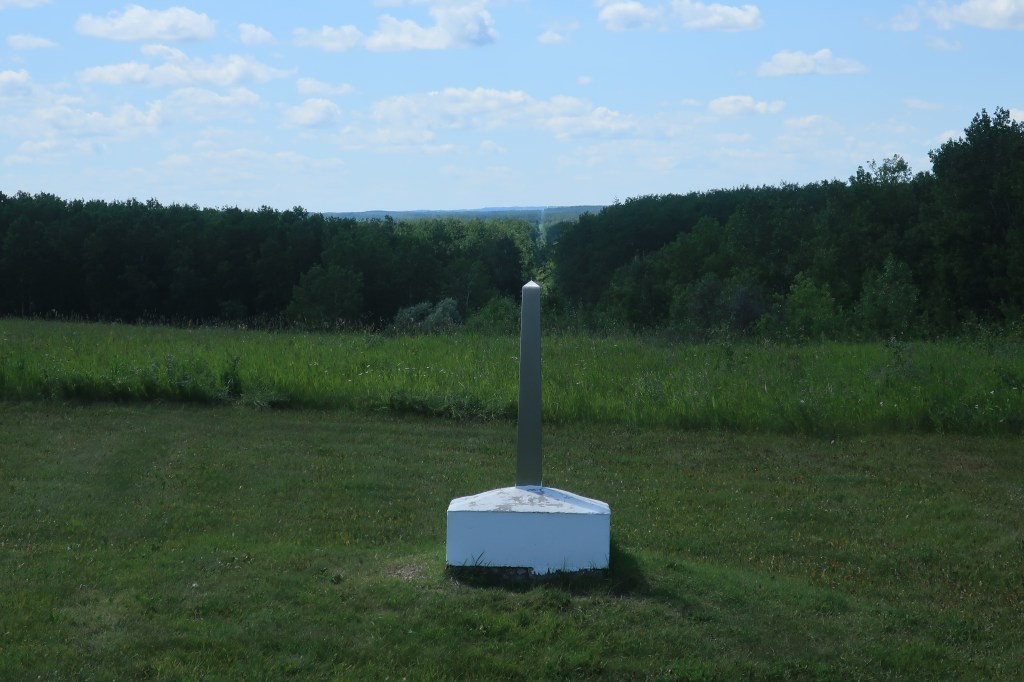
One last photo of the Peace Garden shows an international boundary marker and the clearing marking the boundary extending in the far distance.
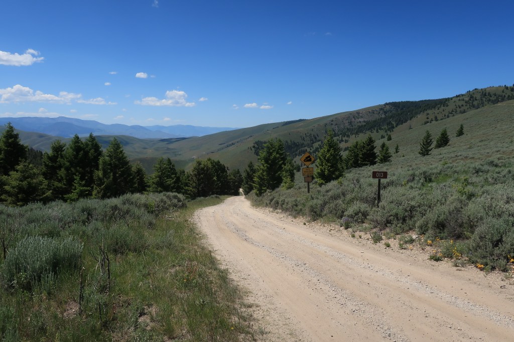
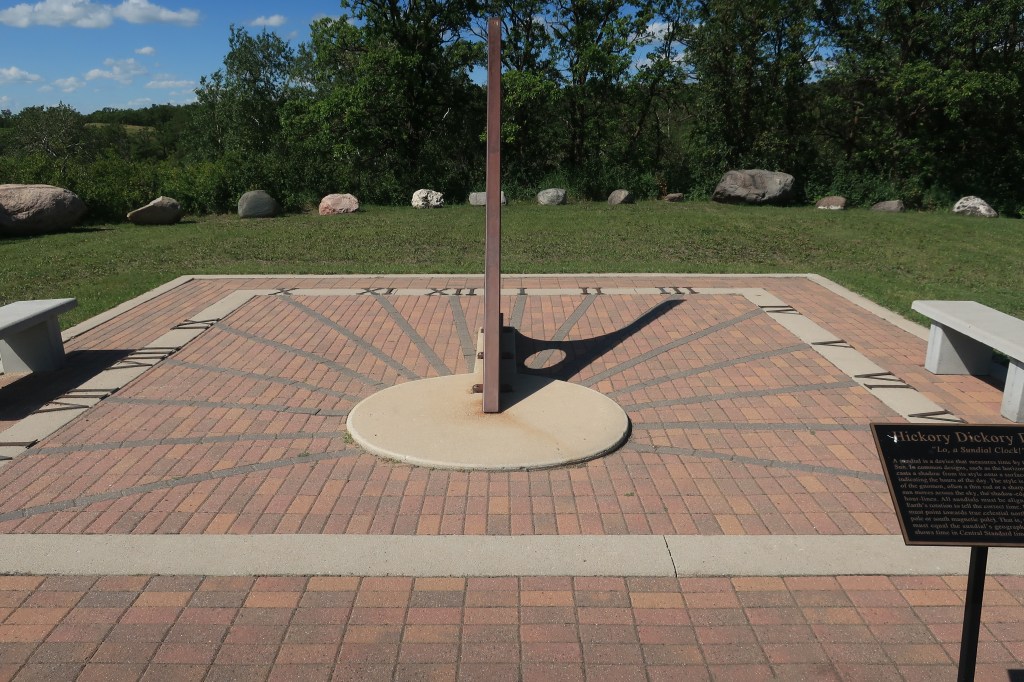
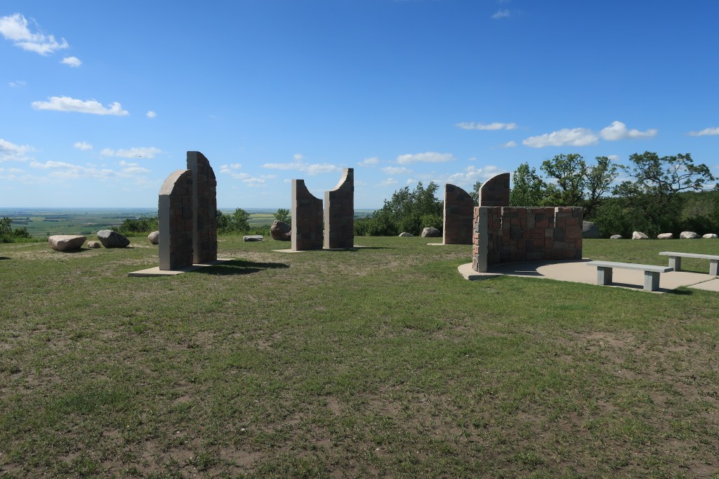
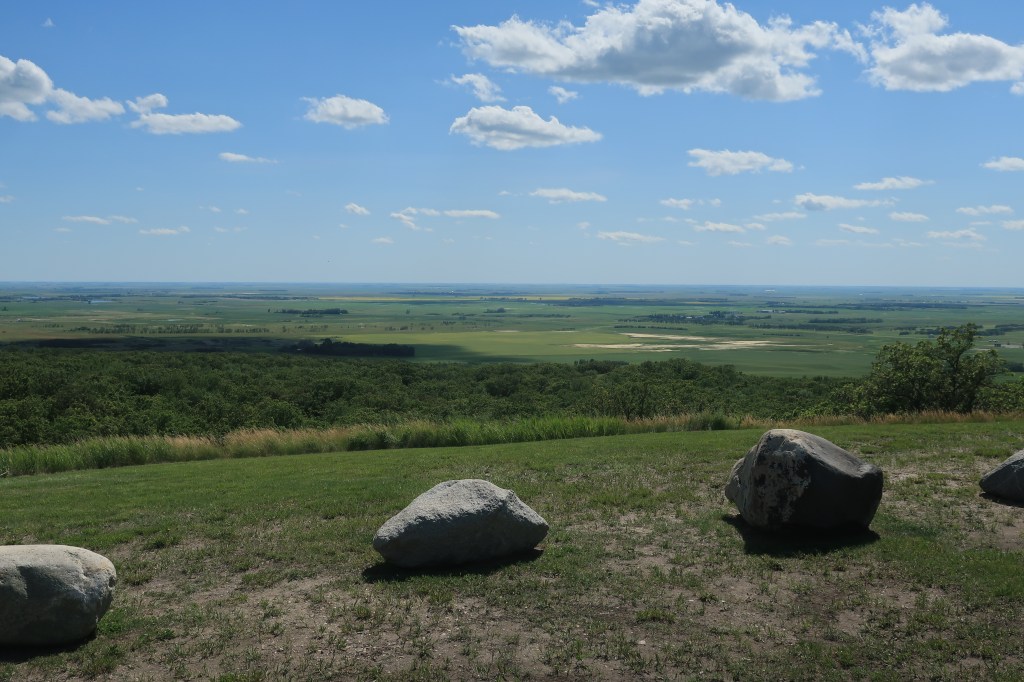
I took some back roads I had found on the map on my way back to Minot for the night. These little roads led along the crest of Turtle Mountain within five miles of the Canadian border. At one point I saw a highway road sign that simply said “Point of Interest” with an arrow pointing to a driveway off to right. No other explanation. Ok, I like mysteries, so I pulled up the driveway, around a bend, and found this:

It’s a small park called Mystical Horizons (link) and it’s not shown or advertised on any map — I don’t know why.
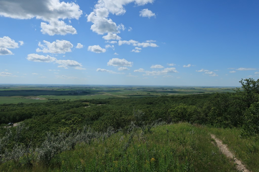
This one or two-acre park, unmanned, has a replica of Stonehenge-like astronomical clocks, a sundial, and a Polaris sighting tube (to be used in finding the North Star). The park sits atop Turtle Mountain with spectacular views of the North Dakota countryside below.
Back to Minot for dinner.
Links: Ebeneezer’s Eatery & Irish Pub
Staybridge Suites Minot
and once again,
Mystical Horizons
Friday, July 17, 2020, Day 8
Time to return to Colorado. It will be a 2-day drive. I left very early, before breakfast, heading south on US Highway 83.
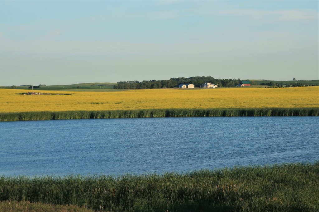
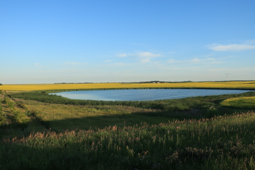
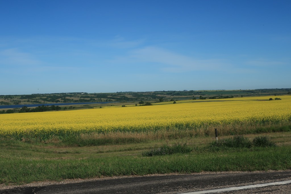
For miles and miles, the landscape was simply covered with canola fields interspersed with bright blue glacial ponds. I stopped on the side of the highway to take photos. After a bit state highway patrol car pulled up behind me to see if I was taking pictures or “just having a bad day.” This was near 7:00 in the morning. The trooper and I talked a bit, saw a deer running through one of the canola fields. I asked her if people around here referred to the water as ‘lakes’ or ‘ponds’ and she said they called them “sloughs” instead.
After another hour of driving, breakfast!
Link: Rolling Hills Restaurant at the Flying J Travel Center in Mandan, North Dakota. Mandan (population 22,752) is across the Missouri River from Bismarck. There’s nothing like a cooked breakfast at an Interstate truck stop!
It was a long, 100-degree hot drive down to Hot Springs (population 3,711), South Dakota. I was detoured around the Cheyenne River Sioux Reservation due to Covid-19 concerns. They’re having a hard time of it there and are restricting travel to locals and those with special permits.
Link: The Hills Inn, Hot Springs, South Dakota
Saturday, July 19, 2020, Day 9
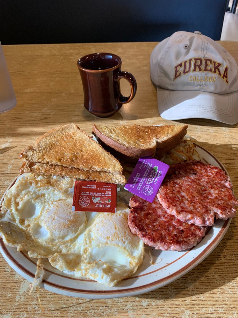
Breakfast!
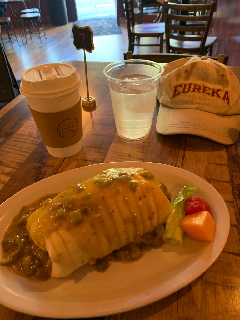
That was a bit of a curveball after all the eggs and hashbrowns I’d been having this trip. Thank you to the Mornin’ Sunshine Coffee House (linked) for the excellent breakfast.
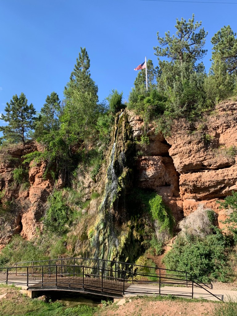
Hot Springs, South Dakota was once a very popular resort town back in the days when doctors prescribed “taking the waters” as a cure. Because it was built up at that early time the town’s buildings are mostly constructed of limestone blocks, giving the town an air of antiquity. It’s a great place and lies in a hilly country about 50 miles south of the Black Hills. I even saw a pair of newlyweds on their honeymoon.
The town’s claim to fame, of course, is its hot springs, shown here cascading down into the Fall River below.
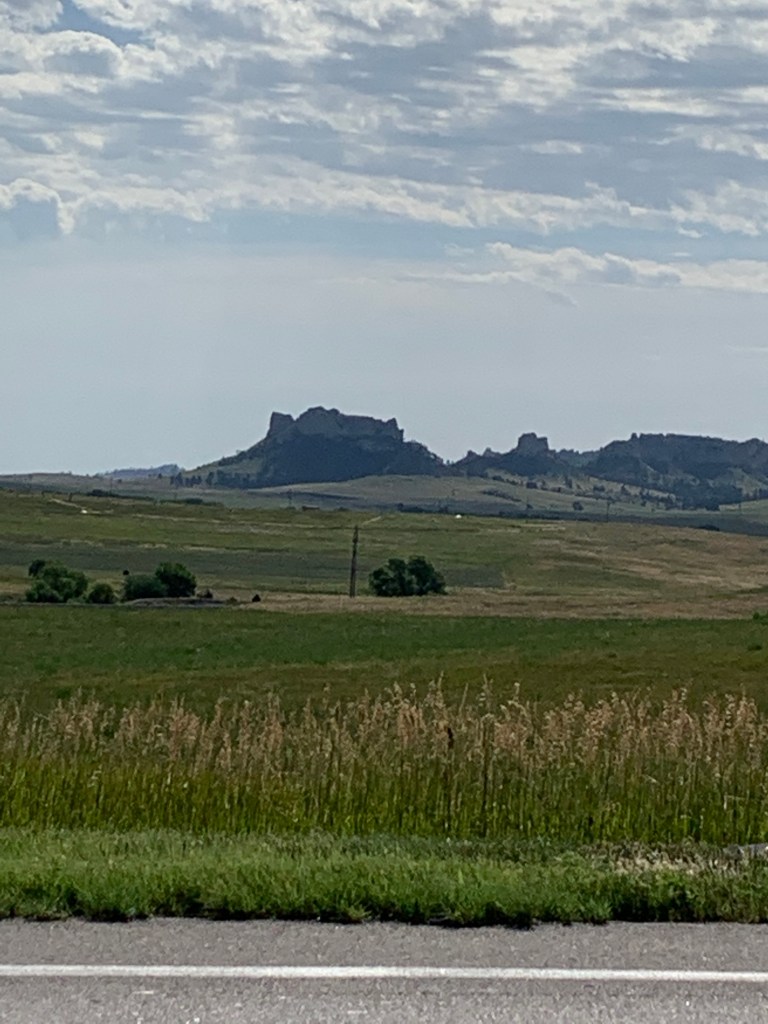
One last photo on the way home. I passed by Pine Ridge near Crawford, Nebraska (population 997). I’ve stopped in this town before, usually for gas, and always for some Dairy Sweet as well.
Home to Colorado Springs by late afternoon.
A most epic trip! Hope you enjoyed it with me.
All photos were taken by the author in July 2020
A list of all Freedom Voyage posts in TimManBlog can be found here.
I travel as a hobby and not for a living (yet) — but donations are happily accepted if you’d like to help defer my costs.
Thanks,
The TimMan
Make a one-time donation
Make a monthly donation
Make a yearly donation
Choose an amount
Or enter a custom amount
Your contribution is appreciated.
Your contribution is appreciated.
Your contribution is appreciated.

What great pictures, Tim. They brought back memories of our trip West last summer. Thanks.