Dixon, Illinois: Three Presidents
July 26, 2019
America has thousands of small towns, the vast majority of which are seemingly unknown to the general public. A few, however, are made famous by their association with some famous person such as a President. Plains, Georgia and Kennebunkport, Maine are two examples that come to mind.
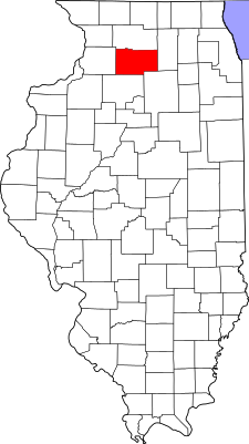
Dixon, Illinois can claim three such Presidential associations. So Dixon should be three times famous, right?
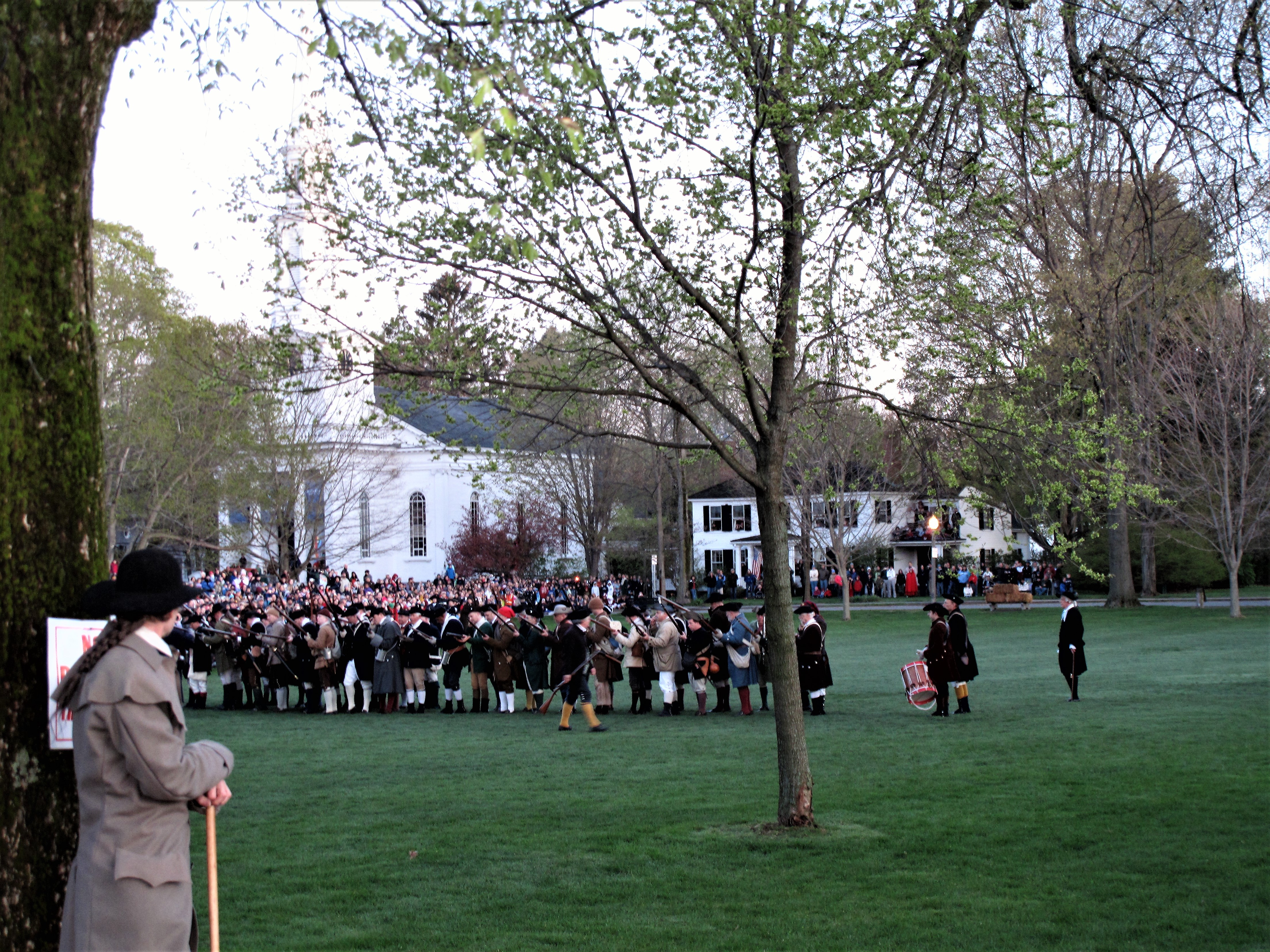
The first Presidential association is with Abraham Lincoln. In 1832, the 23-year-old future president arrived at a key ferrying point on the Rock River in northern Illinois as a volunteer for the Blackhawk War. The ferrying point was Dixon. As sculpted below, he wears combat boots and carries a sword. Lincoln is elected Captain of volunteers by his peers.

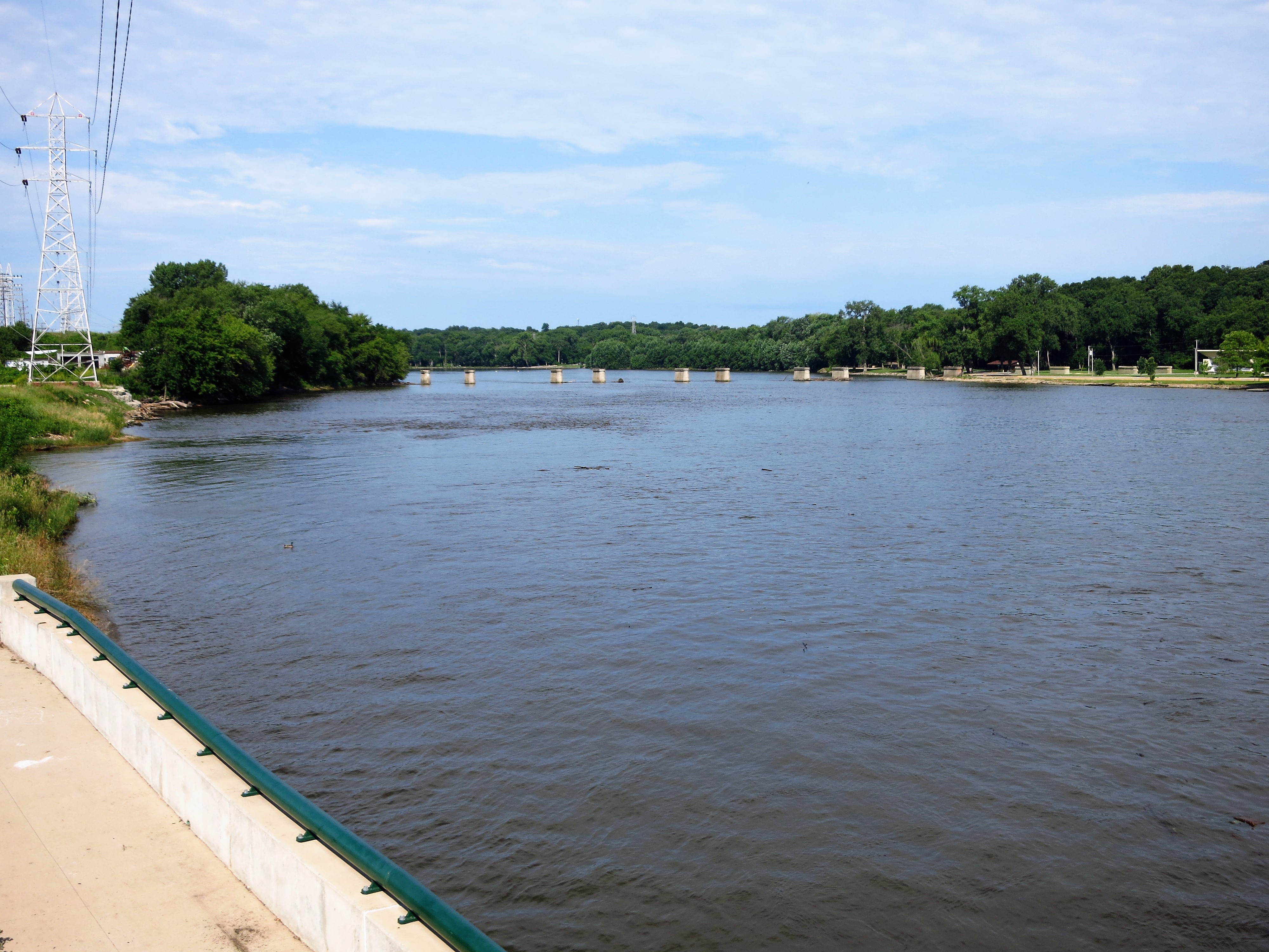
Today the river is dammed at the old ferrying point. Lincoln and his fellow volunteers camped on the far bank.
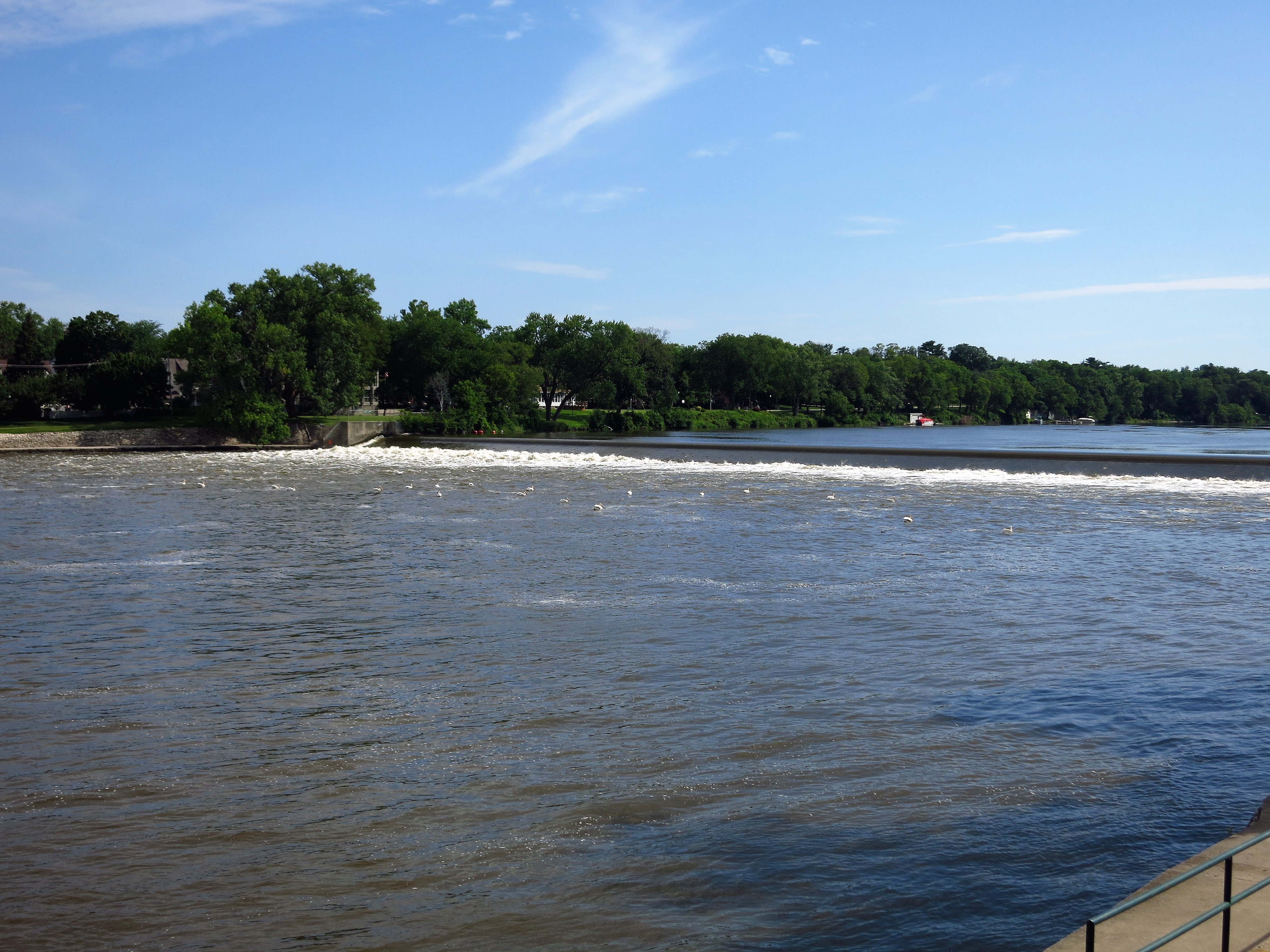
Knowledge of history gives us a gift, allowing us to put ourselves in someone else’s shoes at a pivotal place and time. At Dixon, the 23-year old Lincoln was a penniless laborer with no fame or family to recommend him. Yet his peers elected him Captain. This small event surely built the young man’s confidence. Is Dixon the place where a ragged frontier boy became a man?
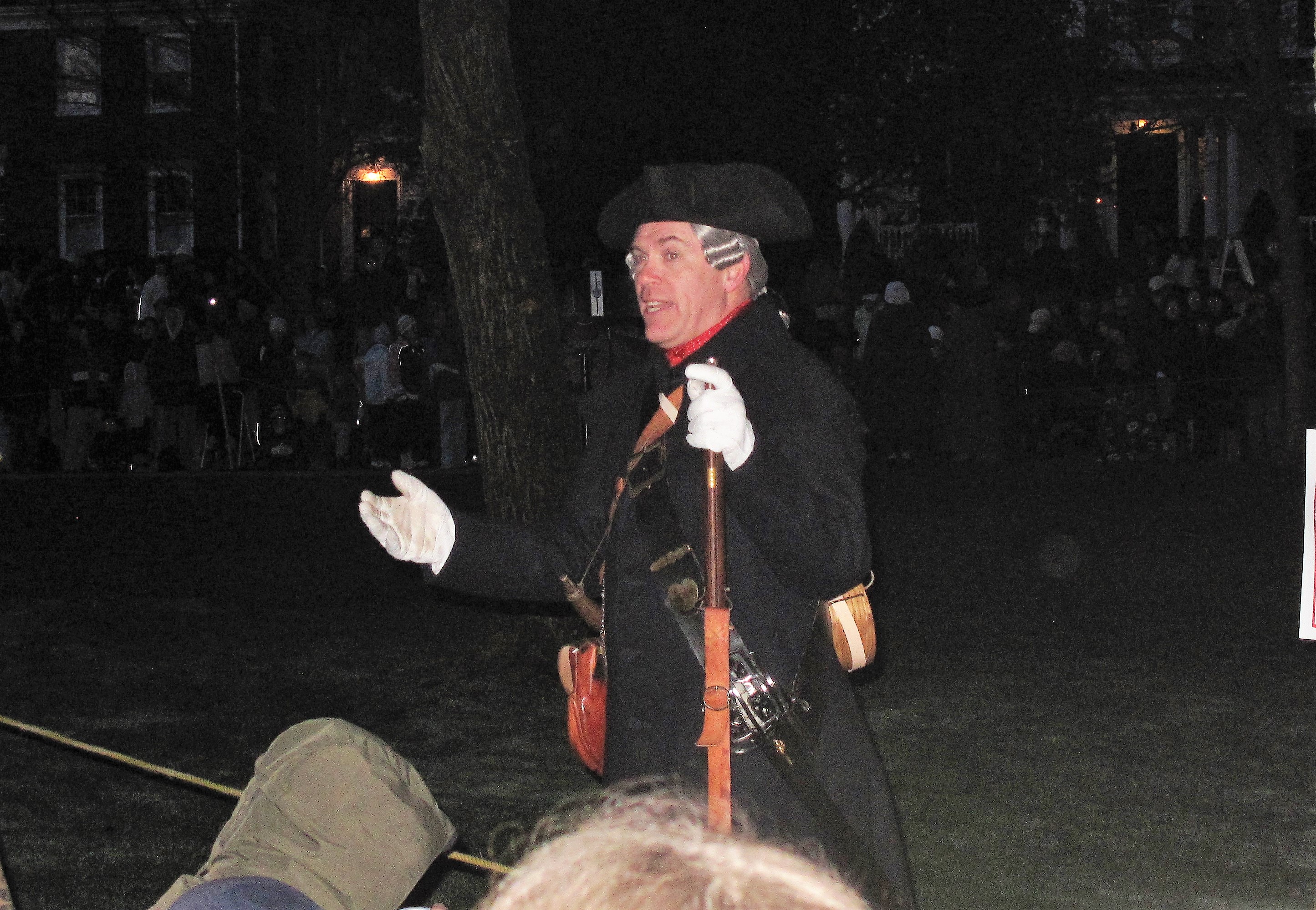
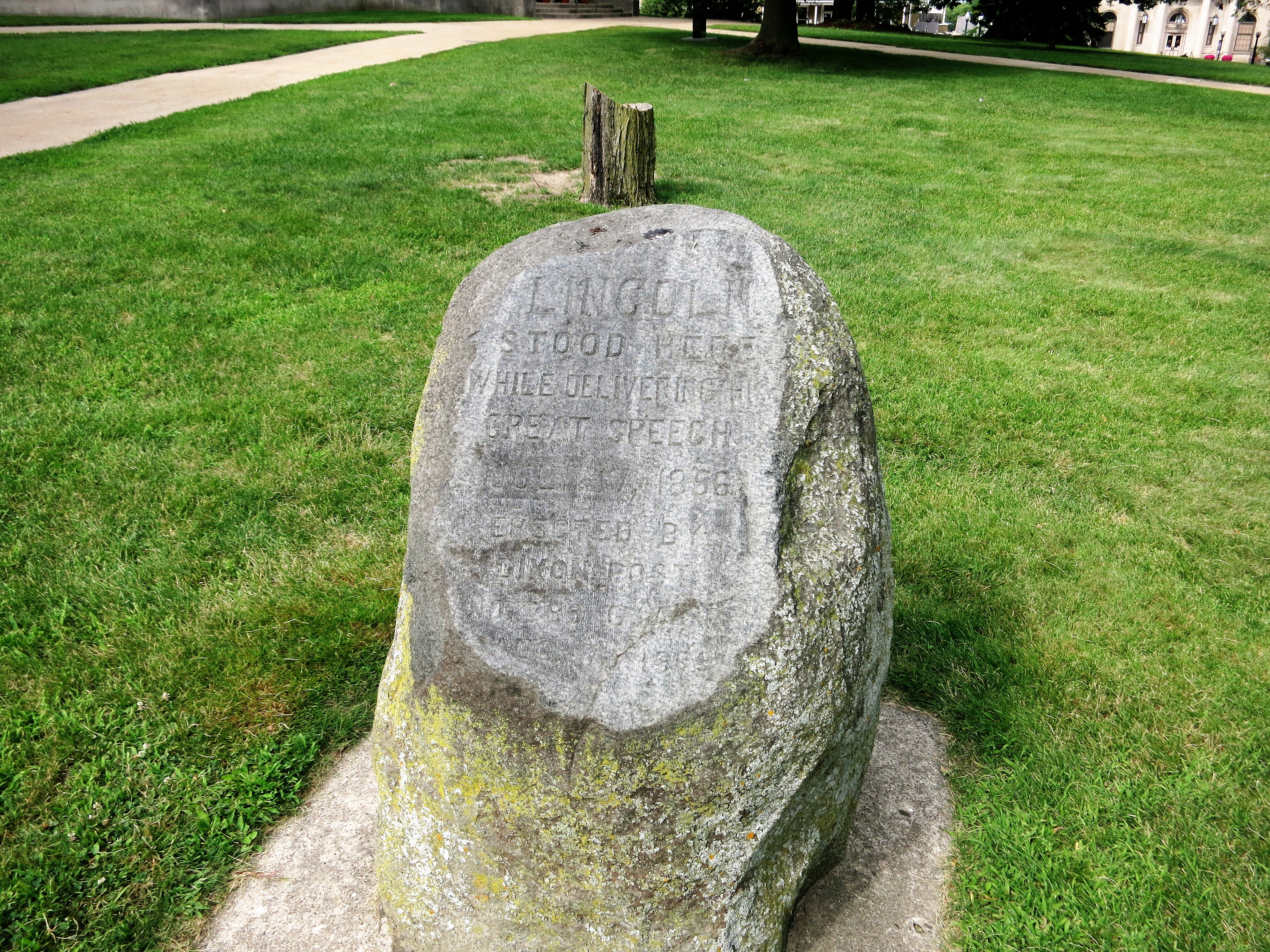
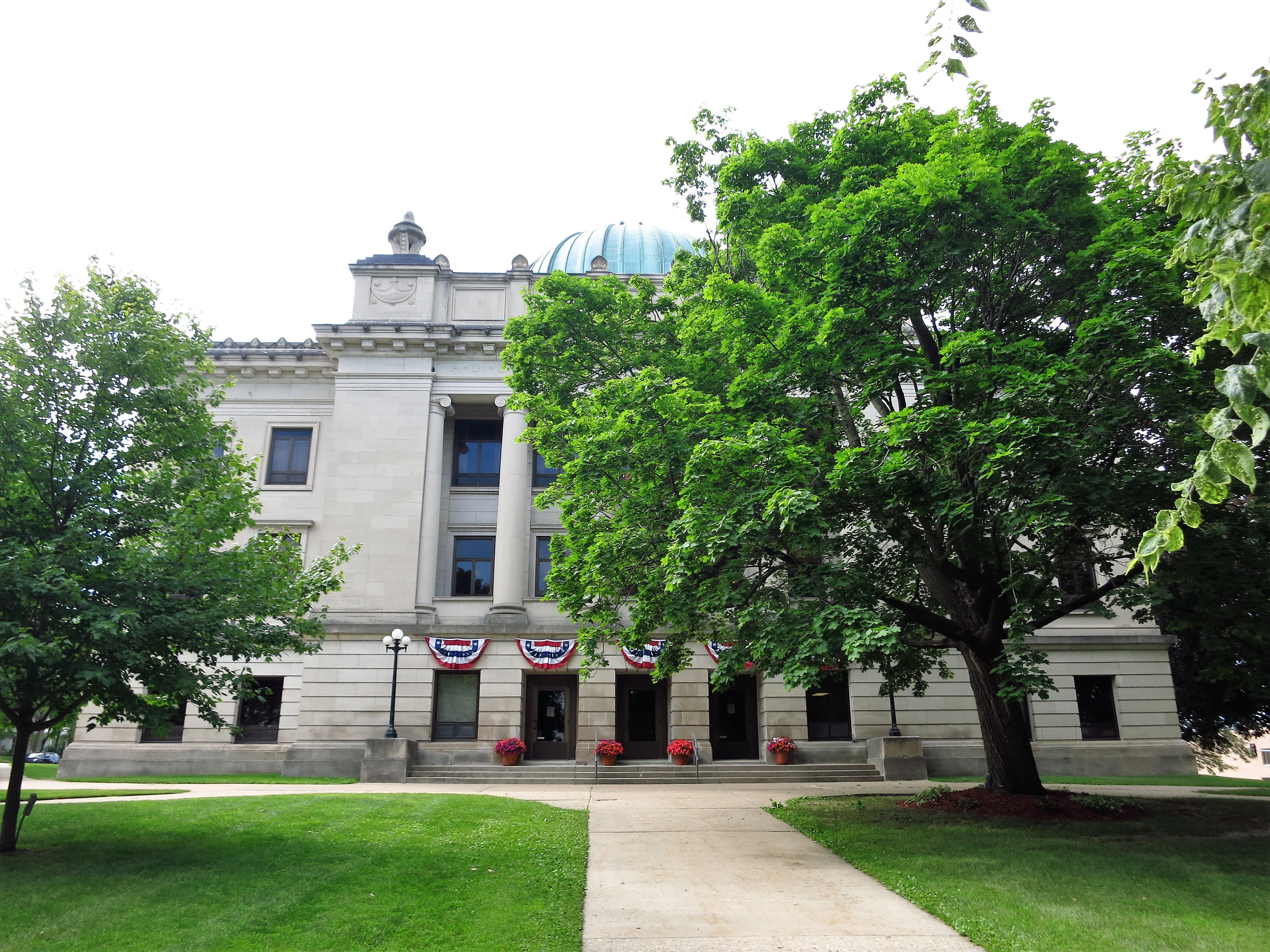
Abraham Lincoln appears again in Dixon in 1856, 24 years after his stint in the Blackhawk War. Now a prominent lawyer and former Congressman, Lincoln makes a proxy speech in favor of the first Republican Presidential candidate, the explorer John C. Fremont.
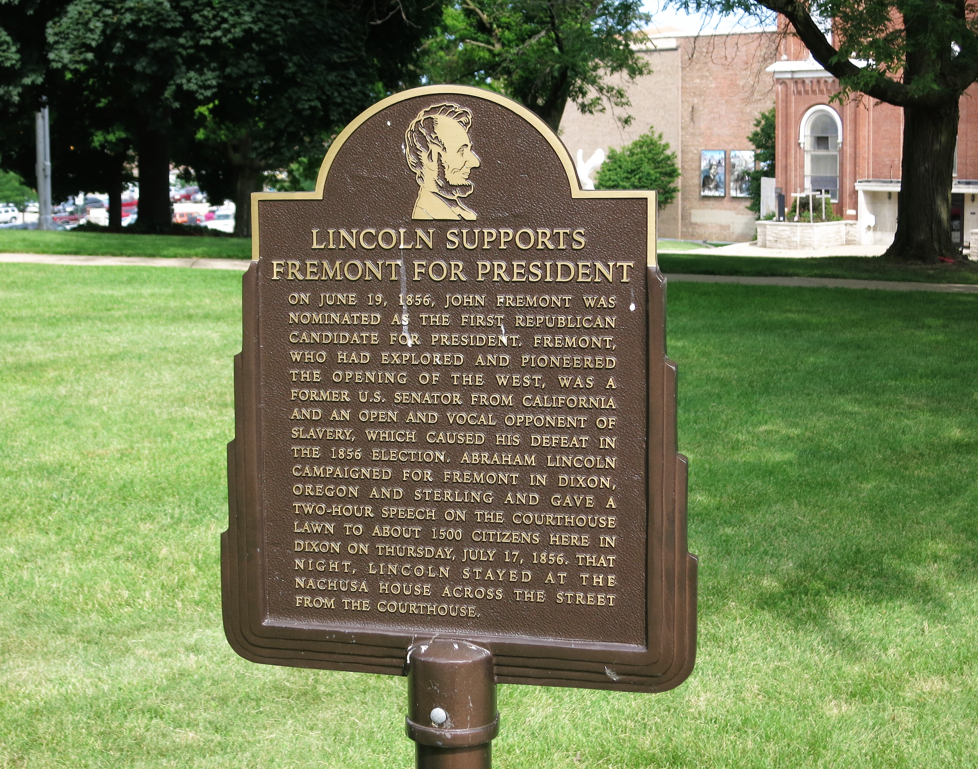
The speech was made on the old county courthouse lawn and is well-marked today.
Of course, Fremont didn’t become President in 1856. Four years later in 1860 Lincoln ran for the Presidency but didn’t give a campaign speech in Dixon — in that era Presidential candidates did not actively campaign as they do today, preferring to leave speech-making to their supporters and proxies.
Dixon’s next presidential association (the second of three) comes in 1919. Automobiles are gaining popularity and auto roads are rapidly being built across the country.
From the text of the mural below:
“July 22, 1919…an Army convoy is traveling the United States’ only transcontinental highway, the Lincoln Highway, to test the reliability of military vehicles. A last-minute volunteer for the trip is a young lieutenant colonel Dwight D. Eisenhower. Stopping in Dixon today, the convoy parked 65 vehicles around the courthouse square while 235 officers and men sat on the lawn and ate a lunch prepared by the citizens of Dixon.”
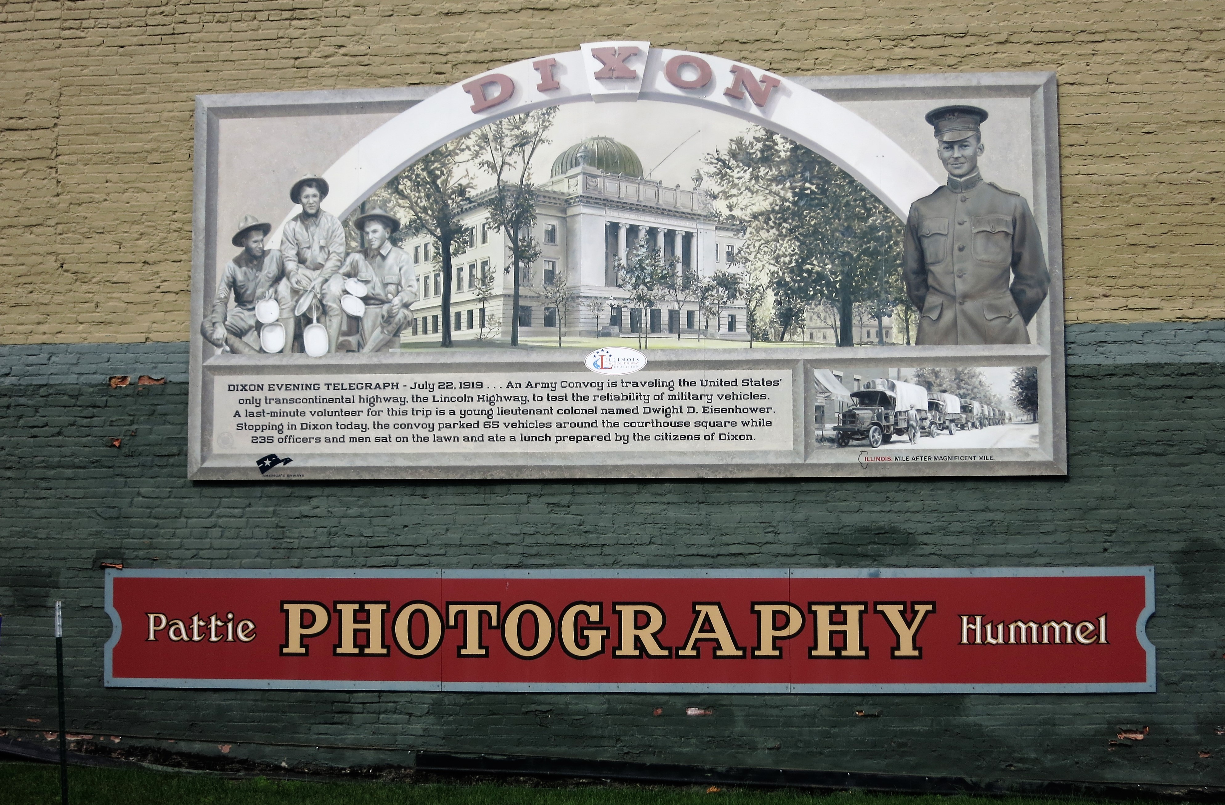
The army convoy soldiered through muddy or missing roadways and flimsy new bridges. The effort became something of a nightmare for the young Eisenhower. His experience in 1919 stayed with him, however, such that “Ike” proposed the Interstate Highway System after becoming President in 1953. A historical sign provides further details:

Eisenhower’s convoy passed under an archway built to celebrate triumphant troops returning home from World War I. The arch was meant to be temporary, but it was so well-received by the townspeople that it remains on Dixon’s main street (Galena Street — the old Lincoln Highway) to this day.
The third of Dixon’s presidential associations is its most famous. In 1911 future president Ronald Reagan was born in Tampico, Illinois. In 1919 (the same year as Eisenhower’s army convoy) the Reagan family moved to Dixon. His boyhood home is a state historic site:


Reagan worked as a lifeguard on the town beach in his boyhood. Reagan was credited with saving several lives.
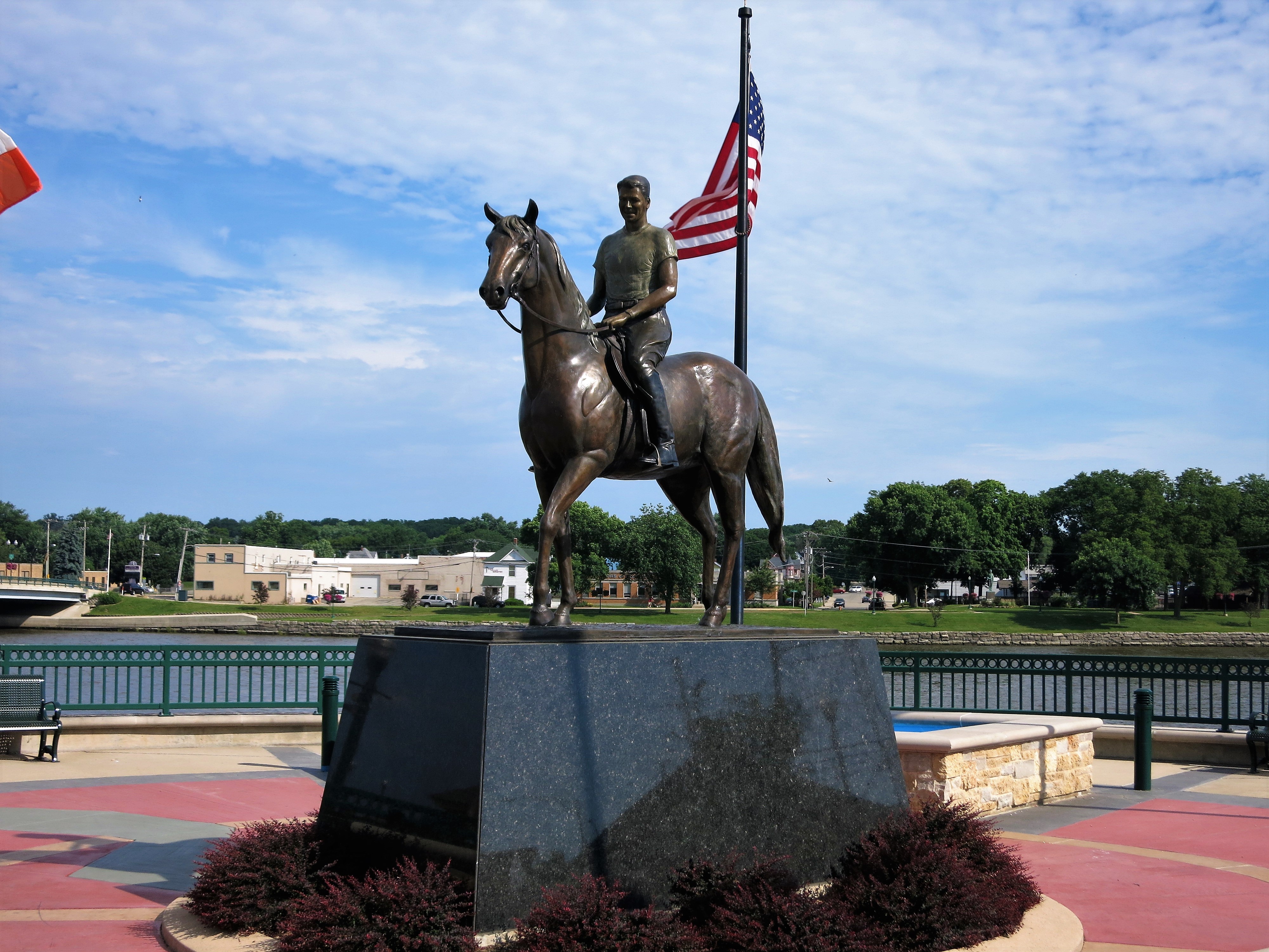
A statue of the 40th President stands at Heritage Crossing in Riverfront Park in downtown Dixon. While I was taking this photo a local man came up to me and provided a few interesting facts: On the statue, the boots, saddle, and reins Reagan is wearing are real. They were his during his life. The statue was made from a photo of Reagan riding a horse during a parade in Dixon in 1950 when he was still known as a movie star and not a political figure.
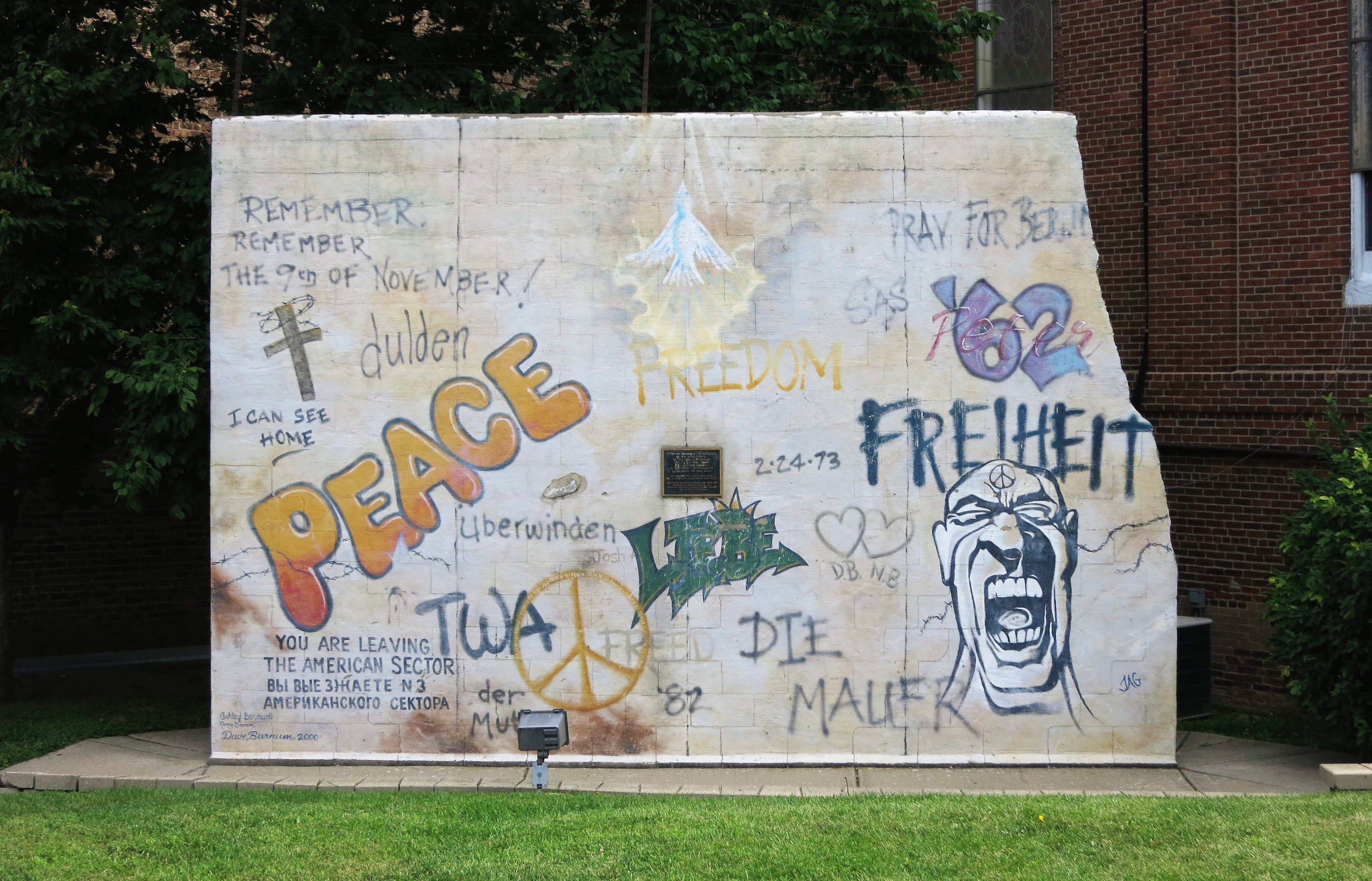
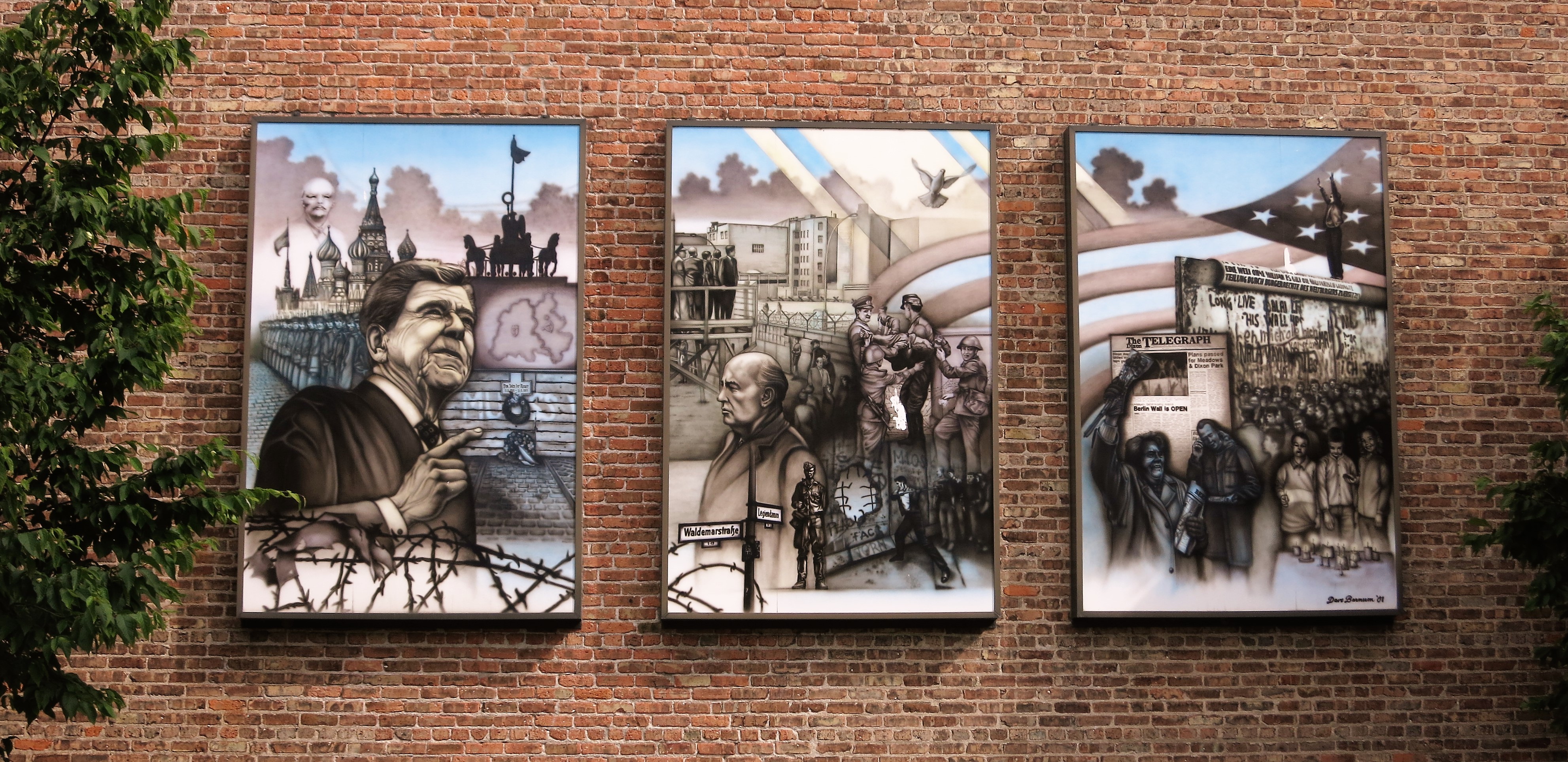
There are a few other memories of Reagan scattered throughout Dixon, including remembrances of his days as President:


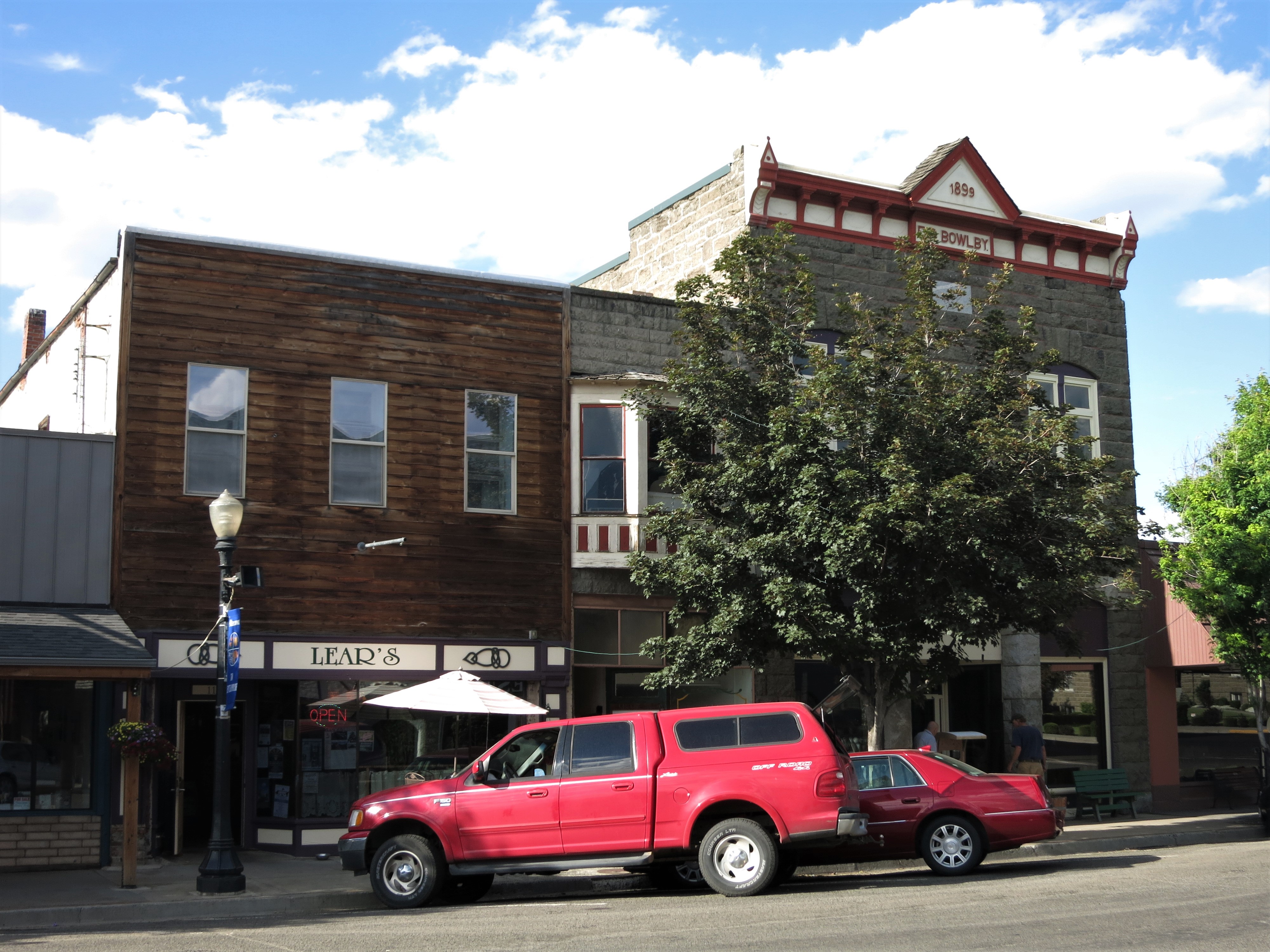
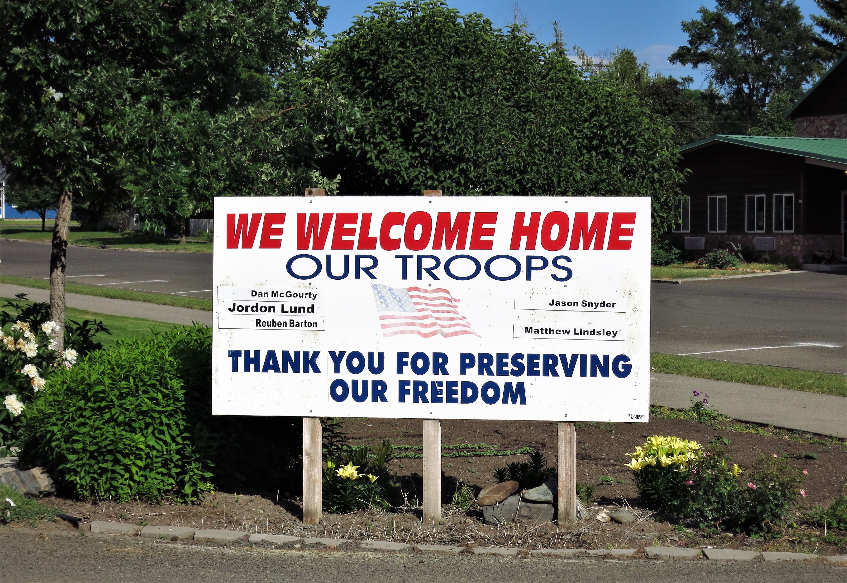
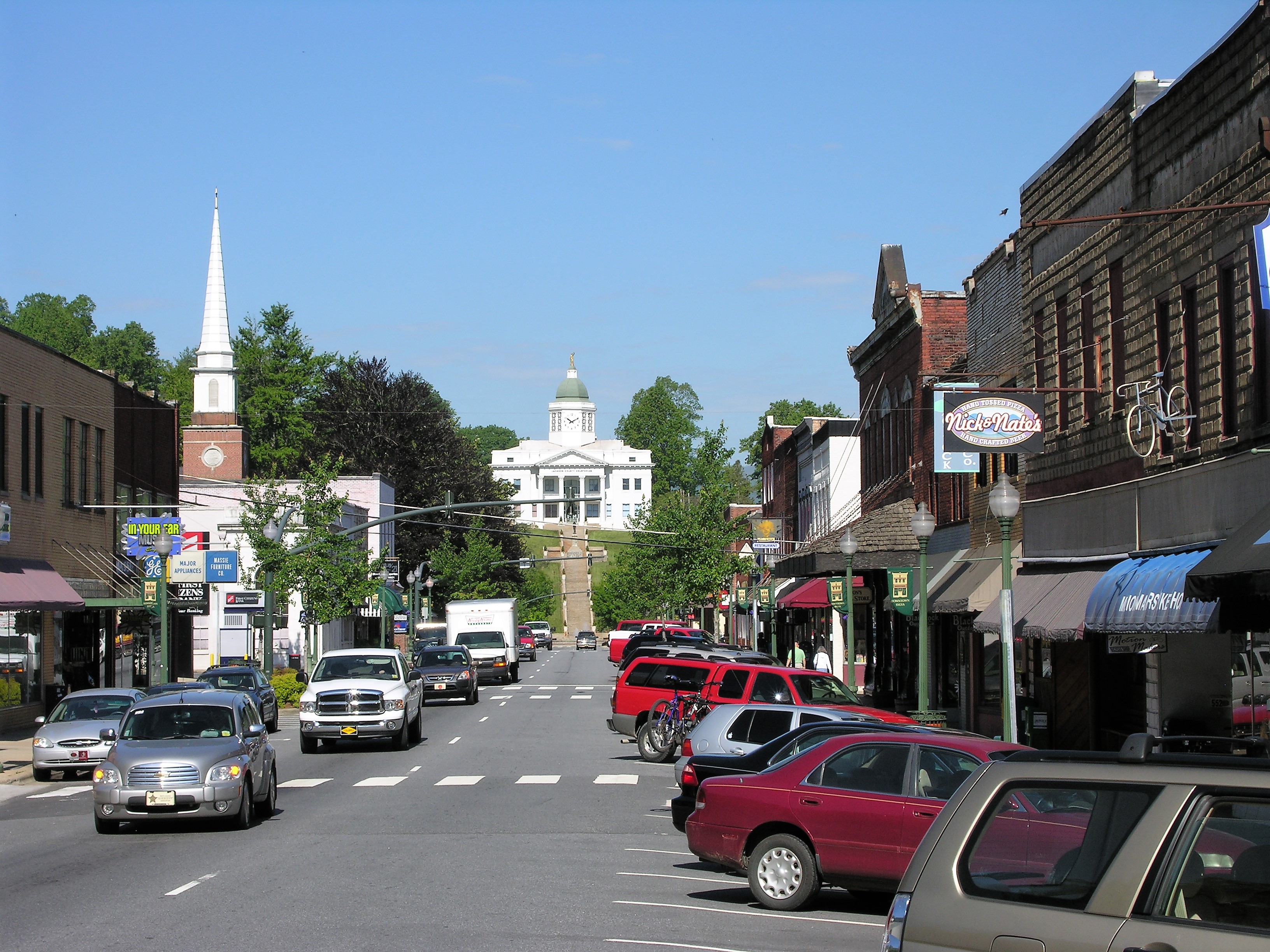
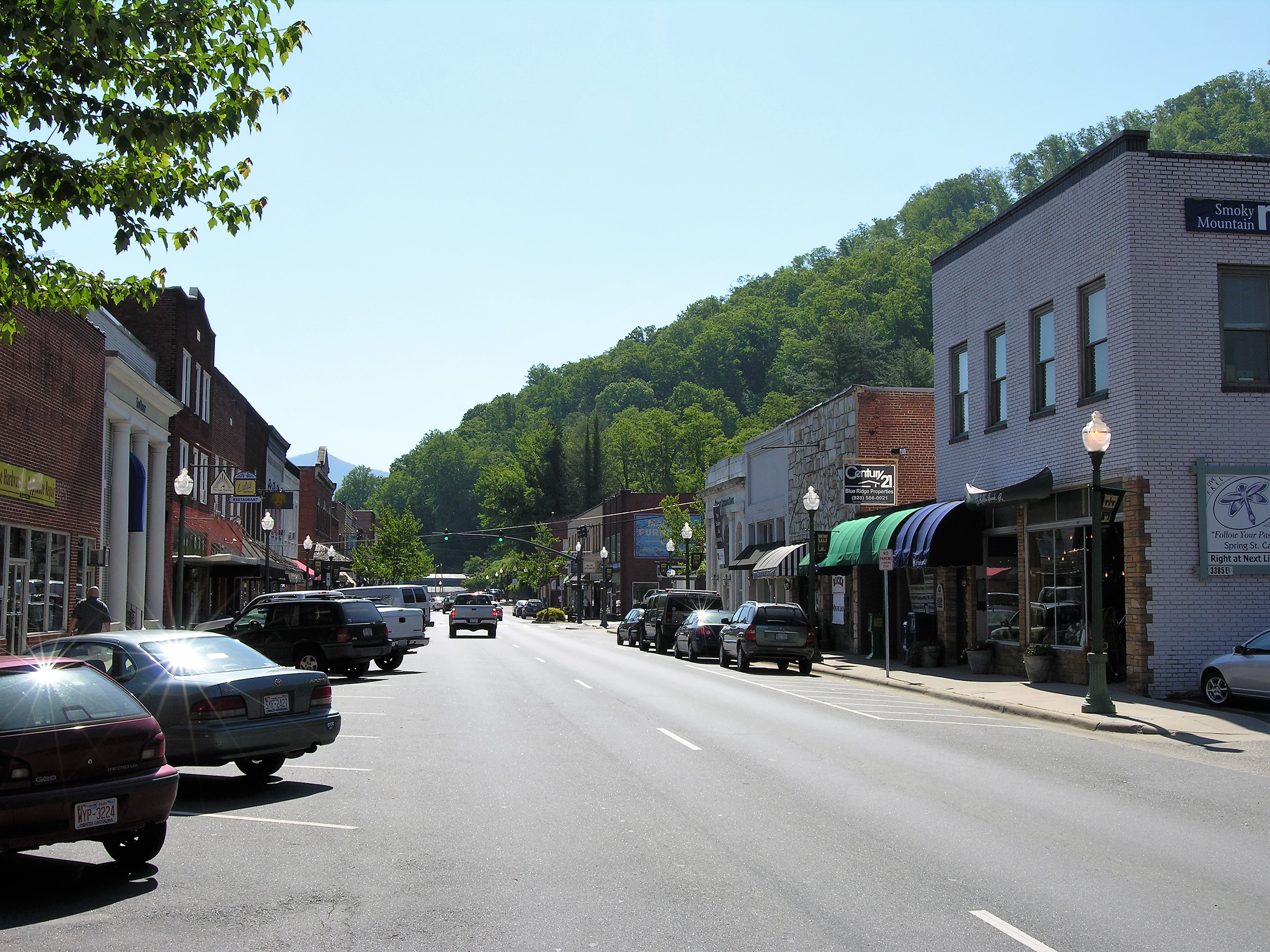
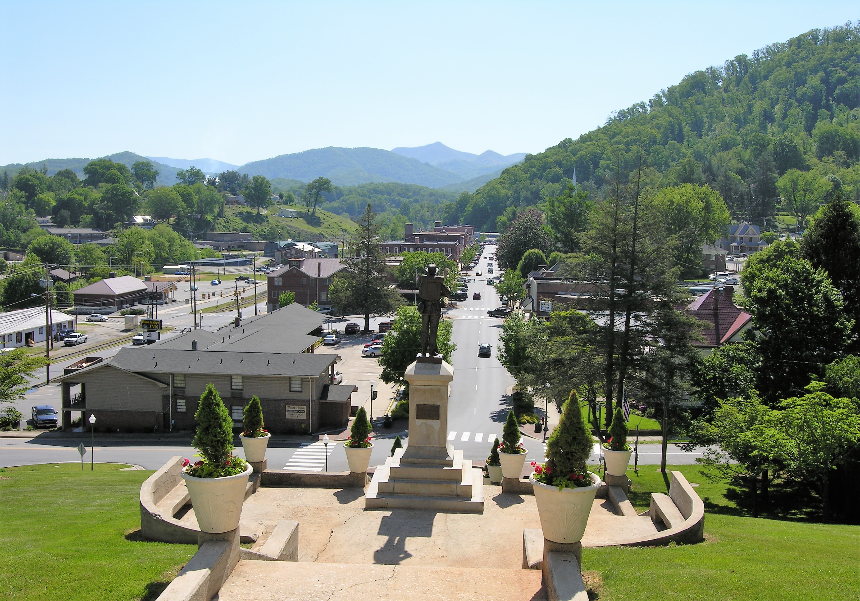
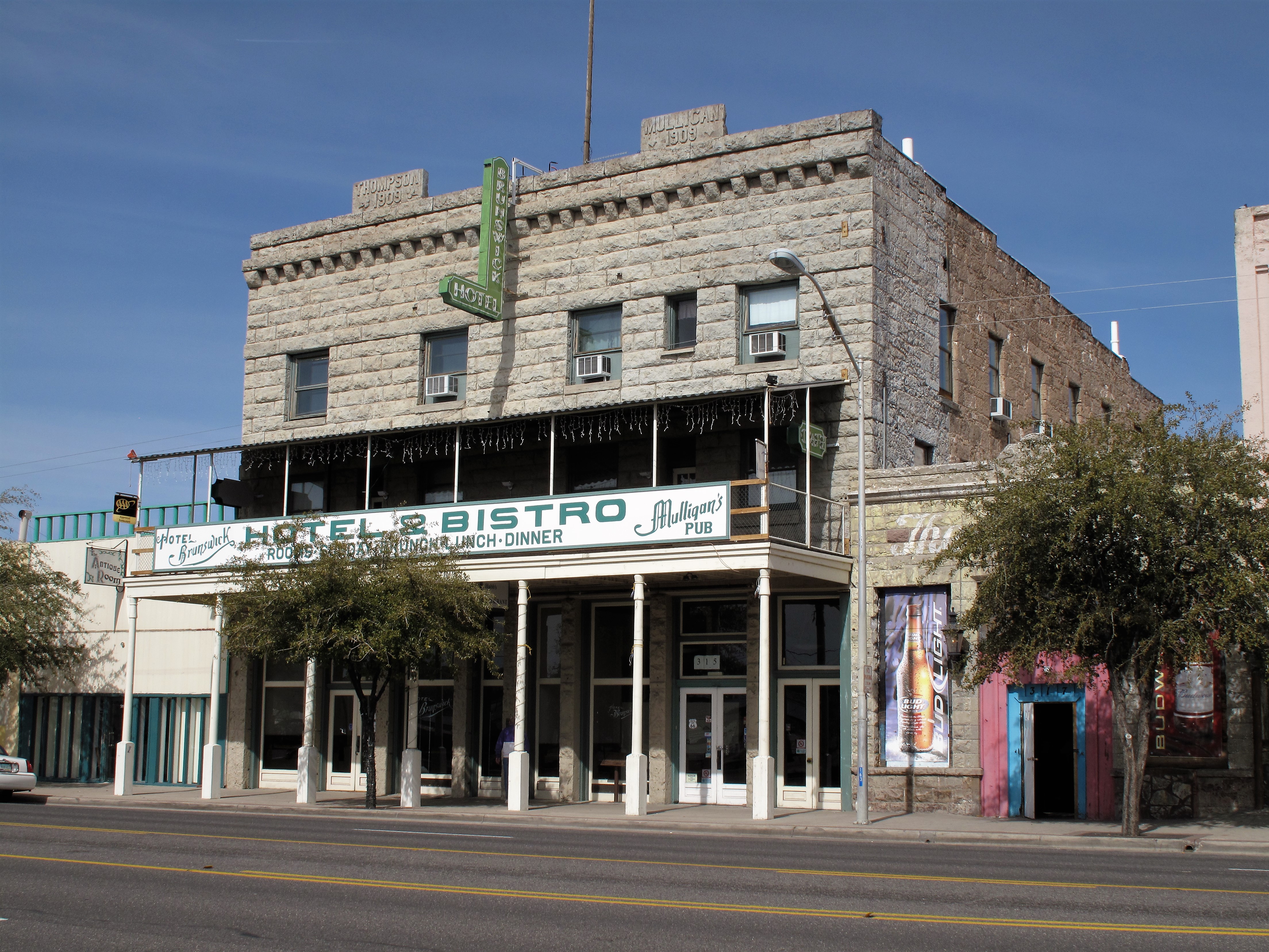
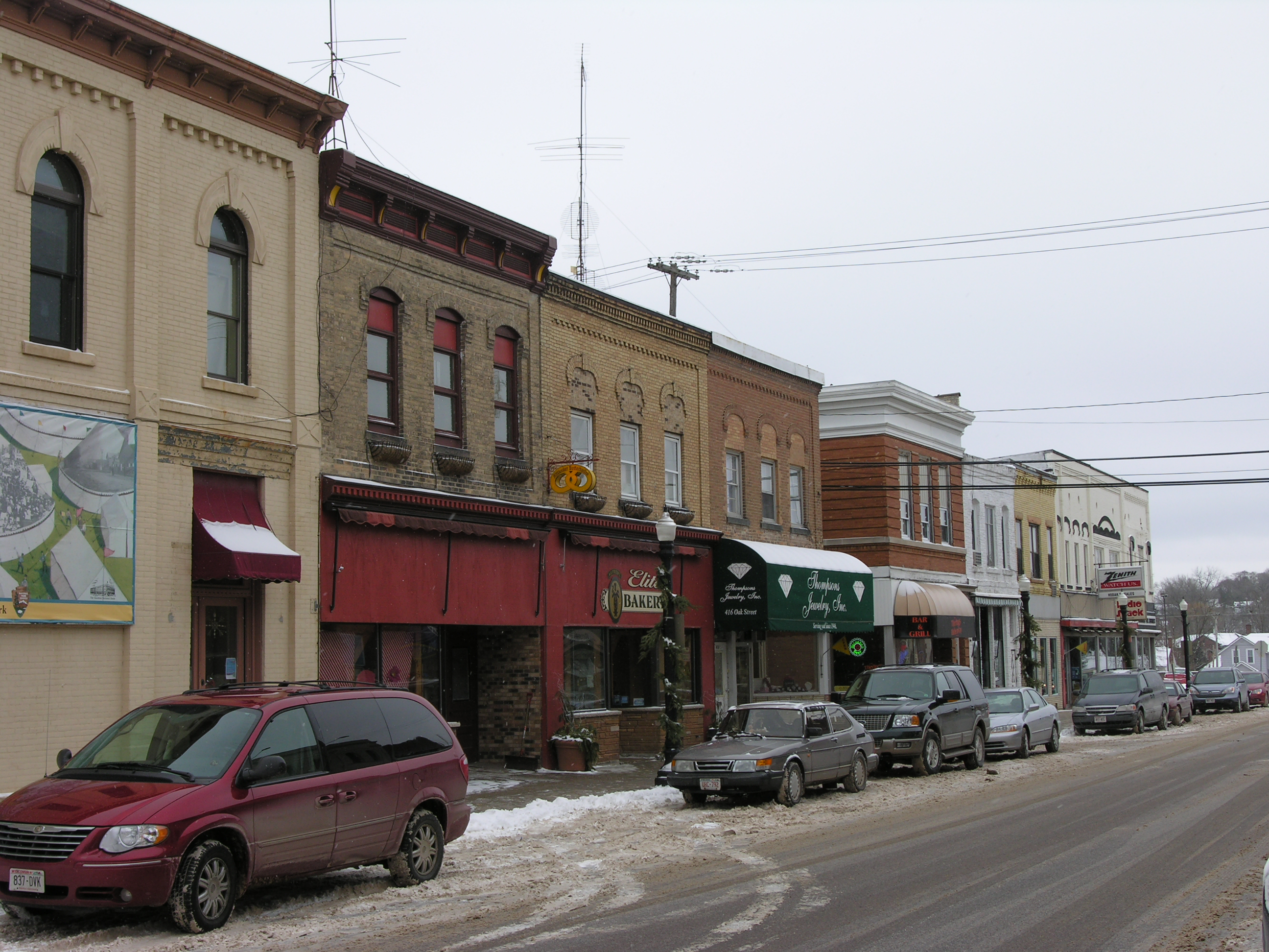
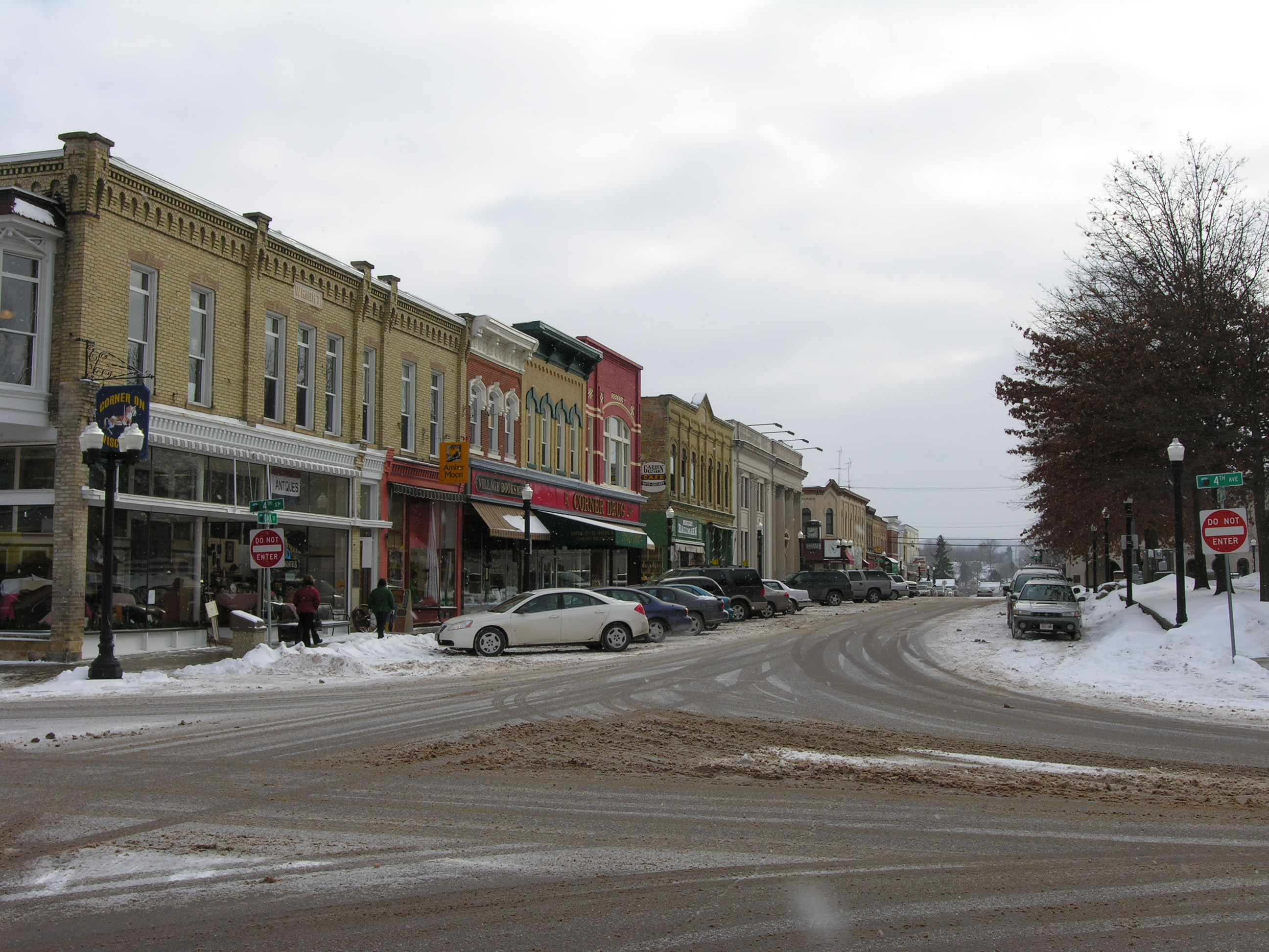
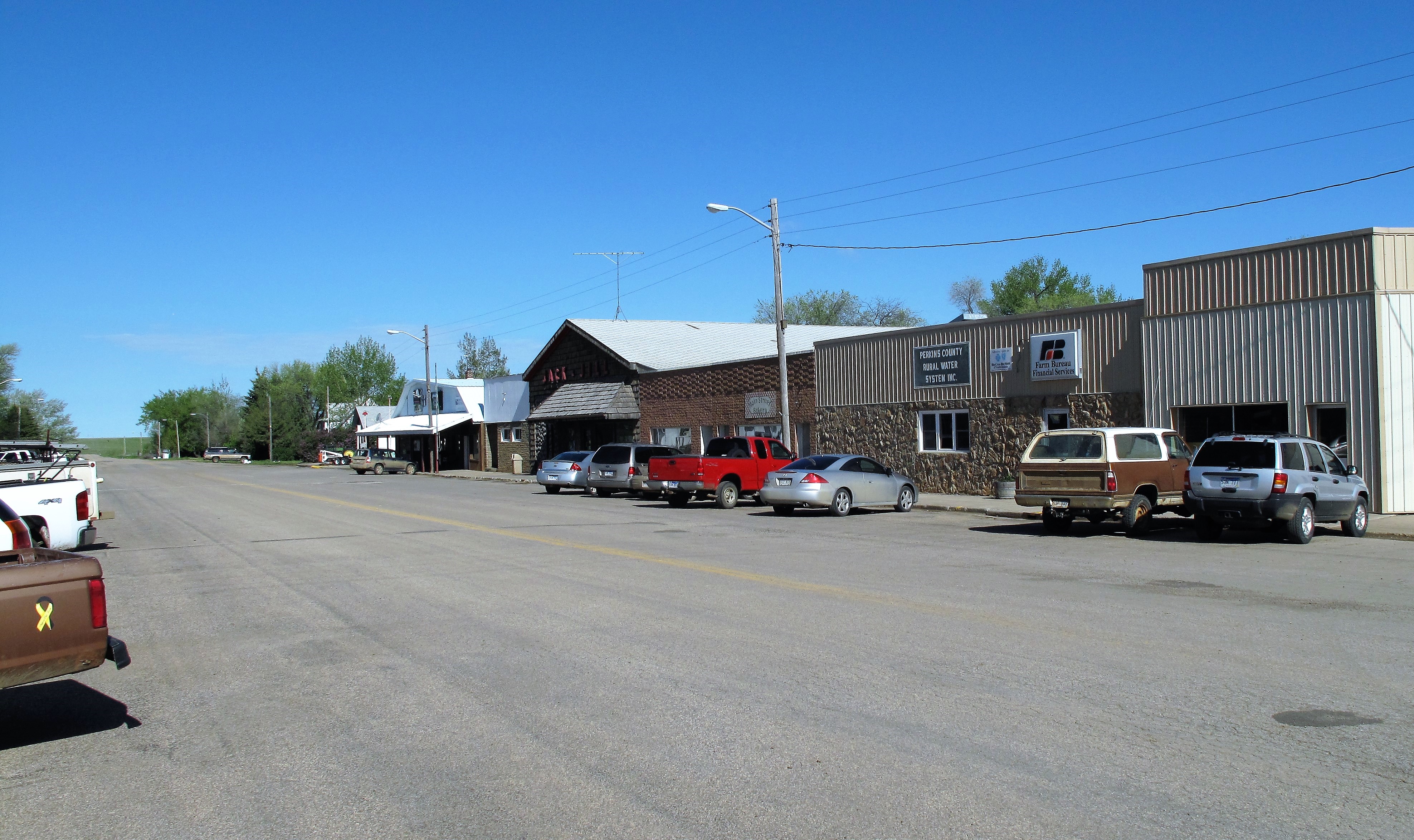
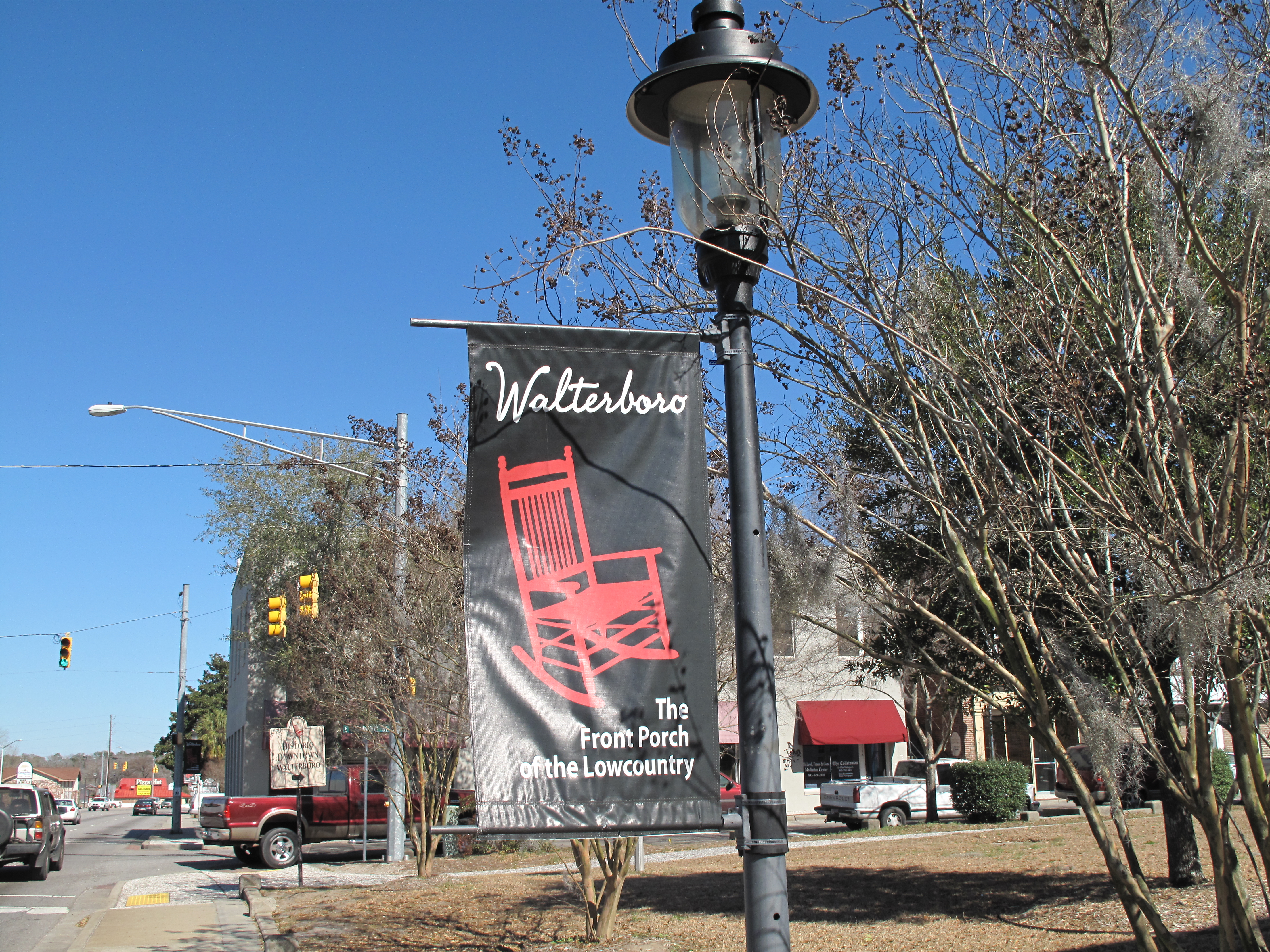
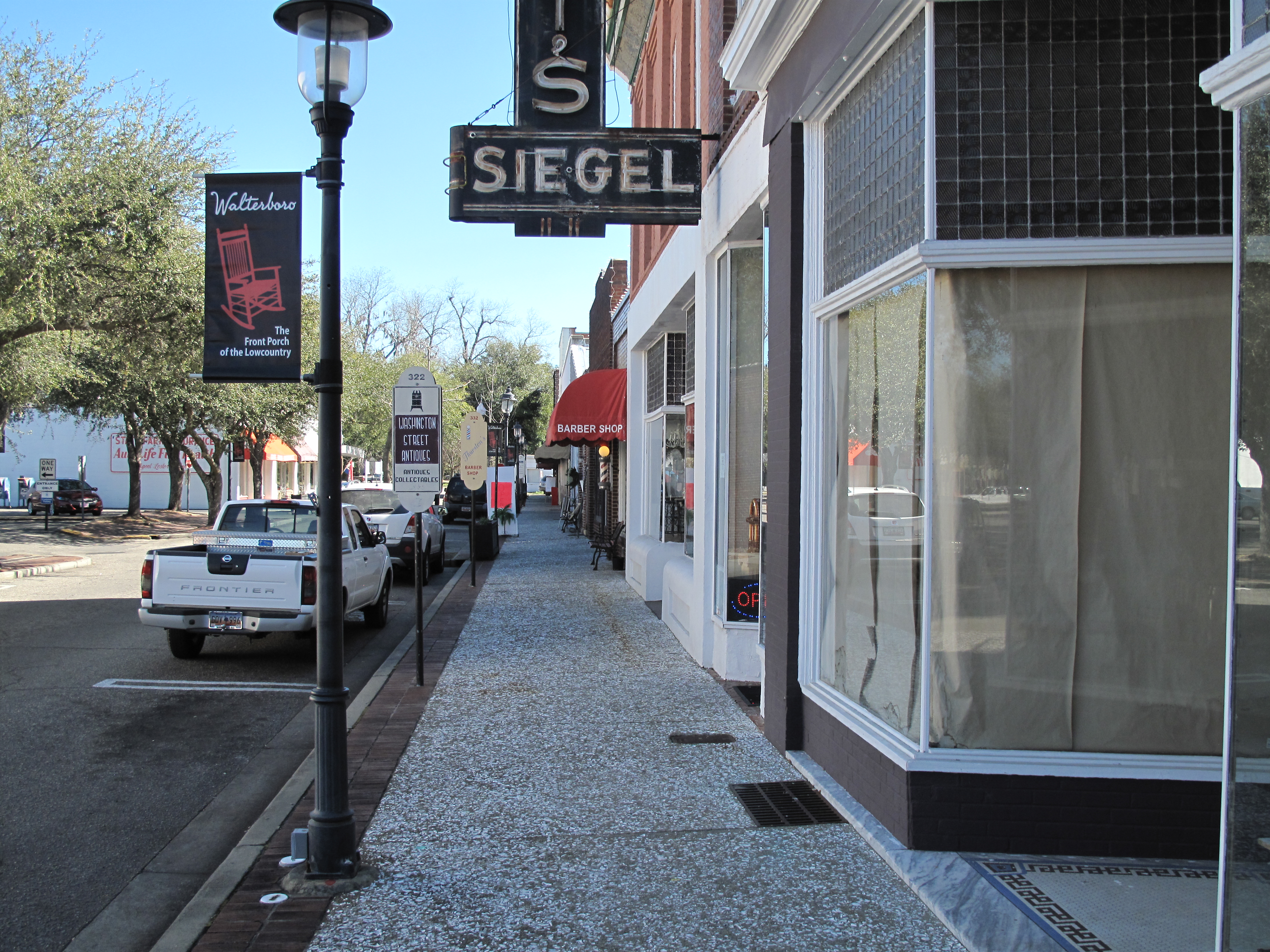
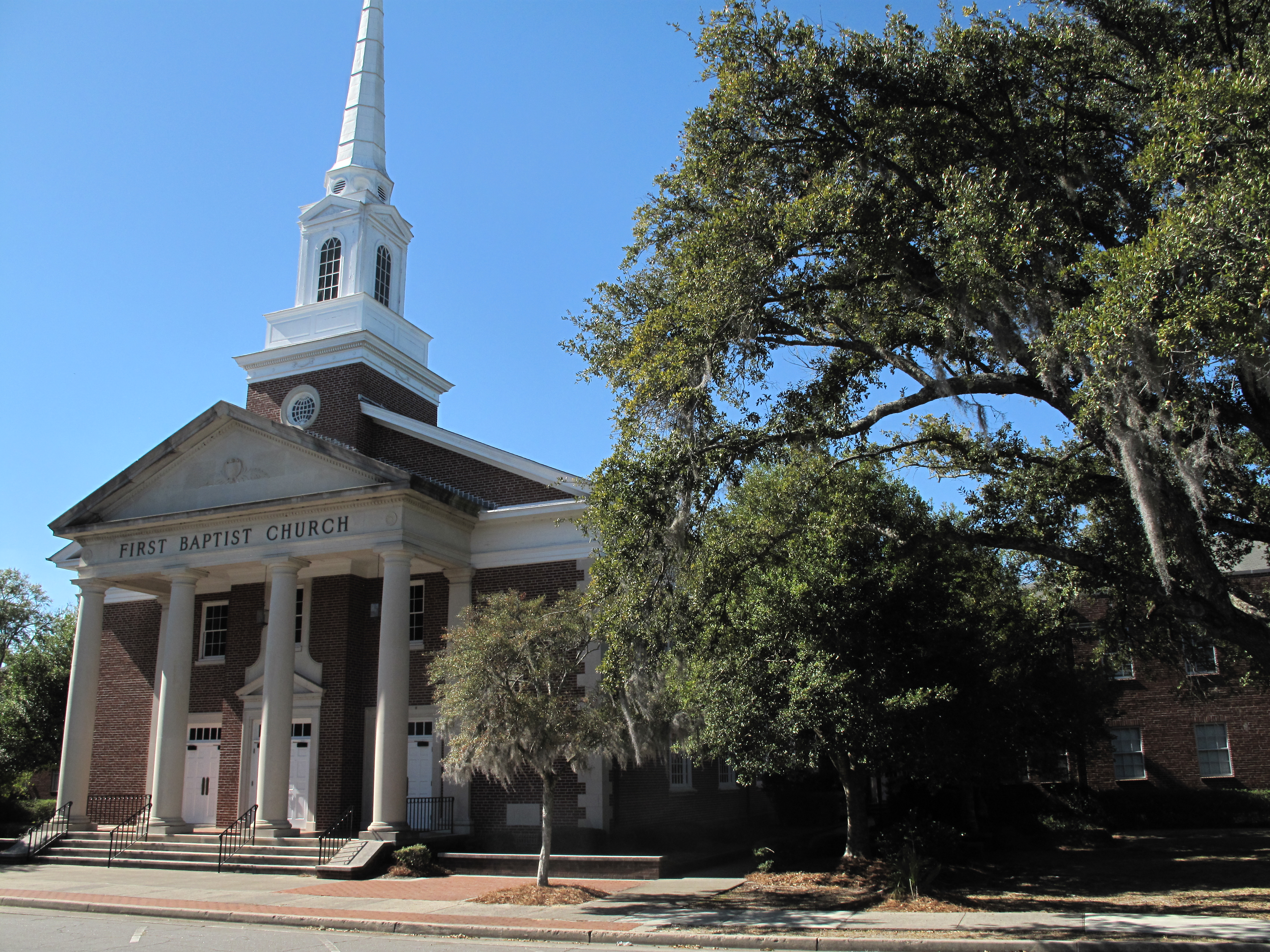
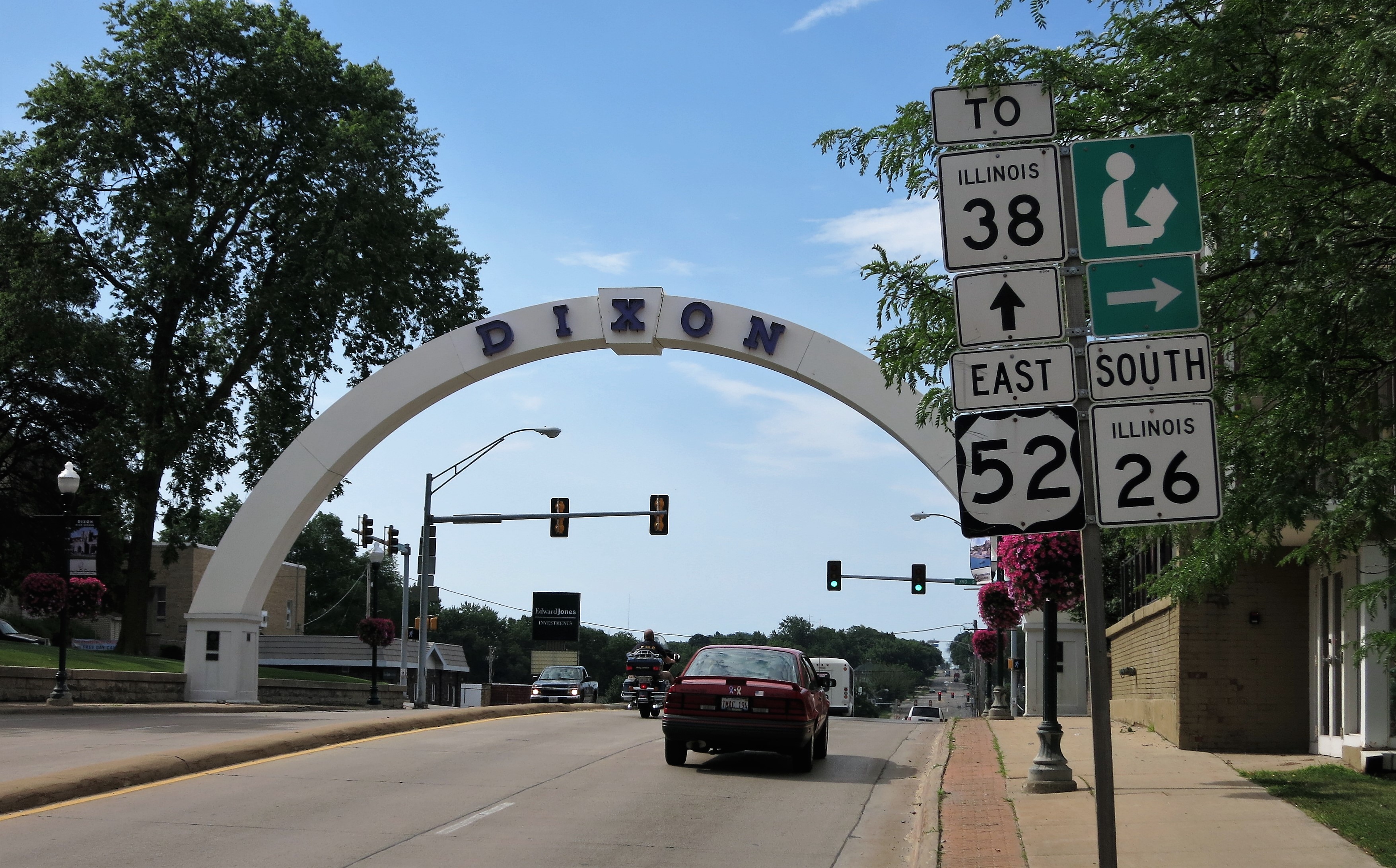
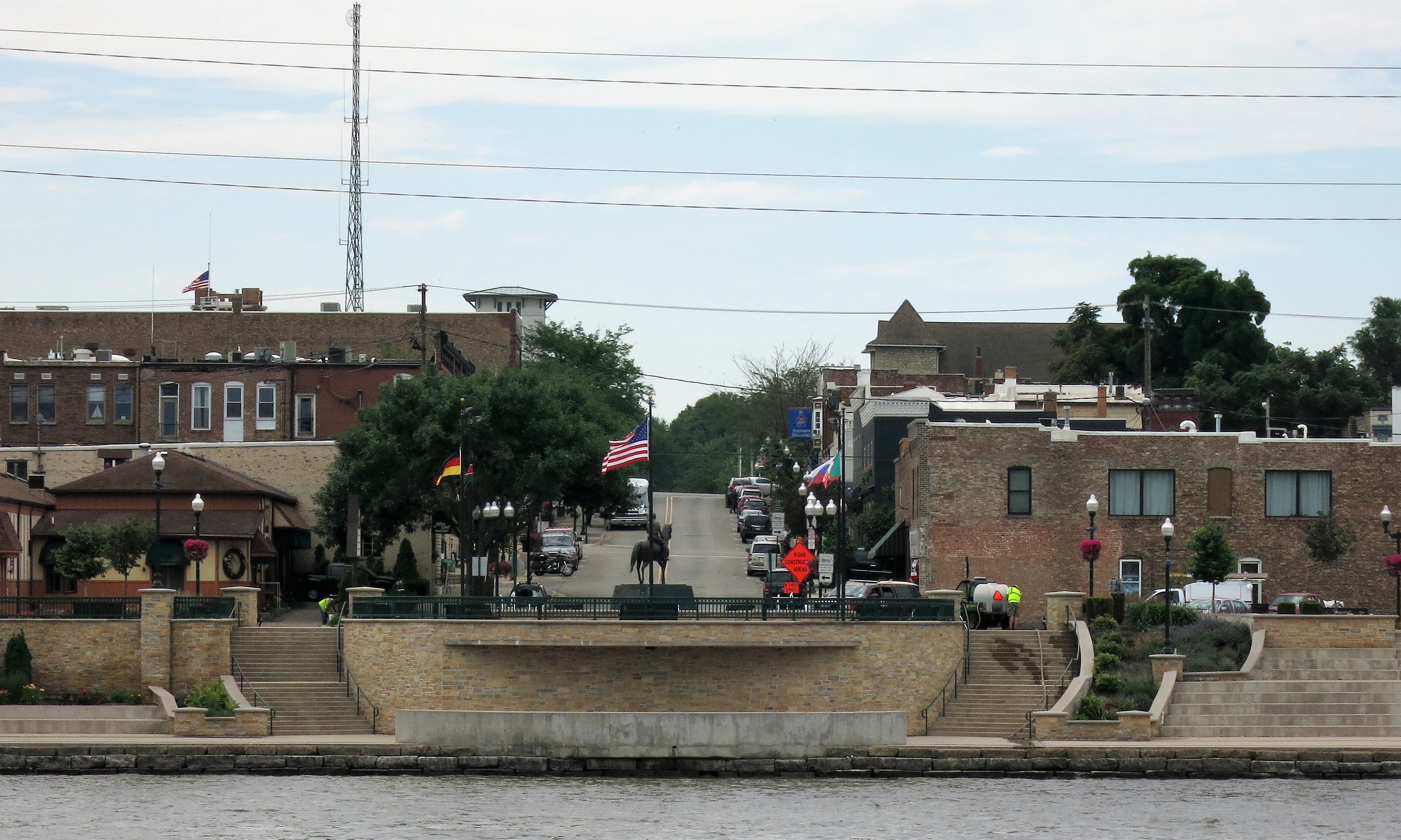
Here are few other photos from downtown Dixon, Illinois:

All photos were taken by the author except for the Ronald Reagan boyhood home. The author’s photos were taken on July 11, 2014.
A list of all photo posts from the American County Seats series in TimManBlog can be found here.
I’m trying to travel to all of America’s county courthouses, and each month a post about my visit to the most interesting county seats. It’s only a hobby — but donations are greatly appreciated to help defer my costs.
Thanks,
Tim
Make a one-time donation
Make a monthly donation
Make a yearly donation
Choose an amount
Or enter a custom amount
Your contribution is appreciated.
Your contribution is appreciated.
Your contribution is appreciated.
DonateDonate monthlyDonate yearly