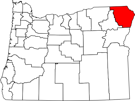
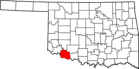
Adventure and Victory: Frederick, Oklahoma
November 30, 2019
It’s been six years now since I had the pleasure of finding Frederick, Oklahoma on a warm Monday afternoon. I had no travel agenda that day save to find the Tillman County Courthouse and the town of Frederick which is its seat. I didn’t realize that I was visiting the home of two extraordinary explorers known as “The Abernathy Boys.”

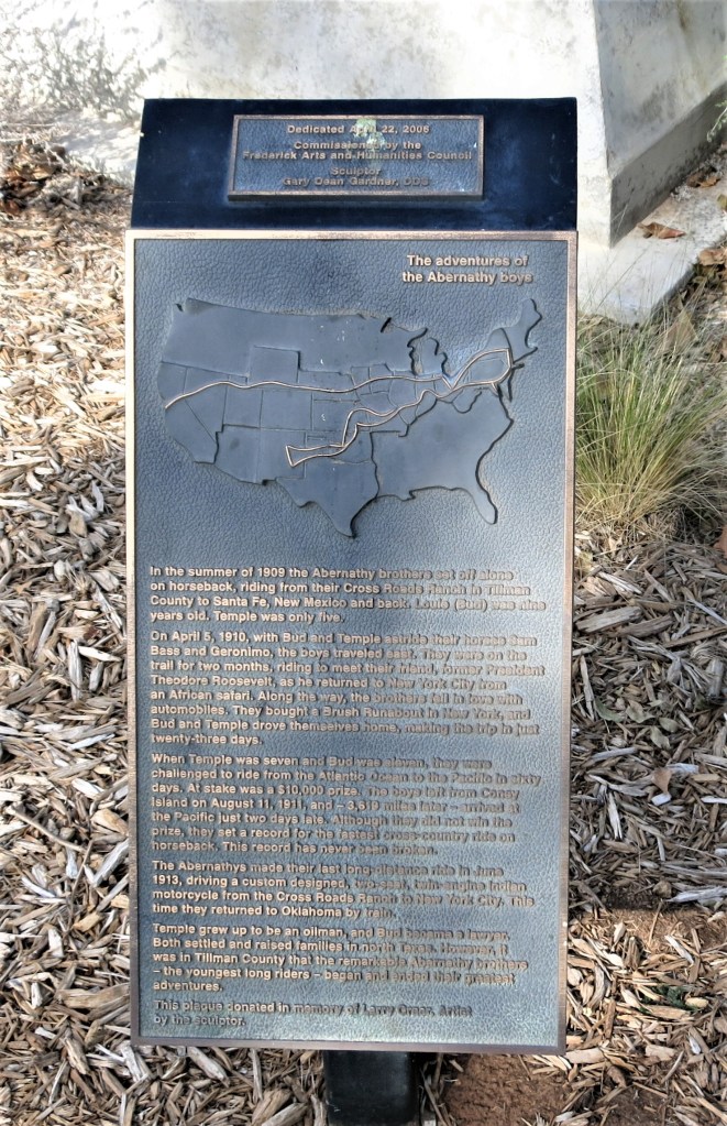
The photo above shows the Abernathy Boys at the height of their fame — ages 9 and 5. The statues sit on the Tillman County Courthouse lawn. A nearby plaque provides their story much better than I can paraphrase:
The Adventures of the Abernathy Boys
In the summer of 1909, the Abernathy boys set off on horseback, riding from their Cross Roads Ranch in Tillman County to Santa Fe, New Mexico, and back. Louis (Bud) was nine years old. Temple was only five.
On April 5, 1910, with Bud and Temple astride their horses Sam Bass and Geronimo, the boys traveled east. They were on the trail for two months, riding to meet their friend, former President Theodore Roosevelt, as he returned to New York City from an African safari. Along the way, the brothers fell in love with automobiles. They bought a Brush Runabout in New York, and Bud and Temple drove themselves home, making the trip in just twenty-three days.
When Temple was seven and Bud was eleven, they were challenged to ride from the Atlantic Ocean to the Pacific in sixty days. At stake was a $10,000 prize. The boys left from Coney Island on August 11, 1911, and – 3,619 miles later – arrived at the Pacific just two days late. Although they did not win the prize, they set a record for the fastest cross-country ride on horseback. This record has never been broken.
The Abernathys made their last long-distance ride in June 1913, driving a custom-designed, two-seat, twin-engine motorcycle from the Cross Roads Ranch to New York City. This time they returned to Oklahoma by train.
Temple grew up to be an oilman, and Bud became a lawyer. Both settled and raised families in north Texas. However, it was in Tillman County that the remarkable Abernathy Brothers – the youngest long riders – began and ended their greatest adventures.
Pretty good for a couple of kids, don’t you think? More details here from Wikipedia.
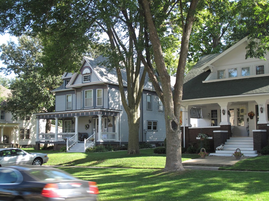
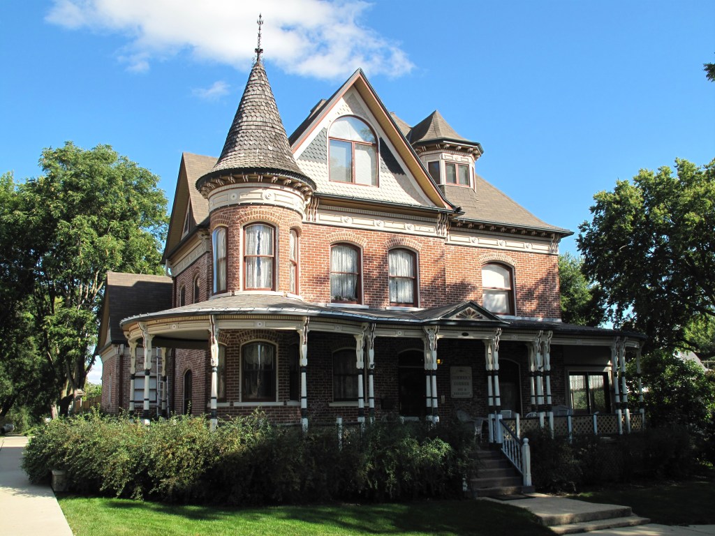
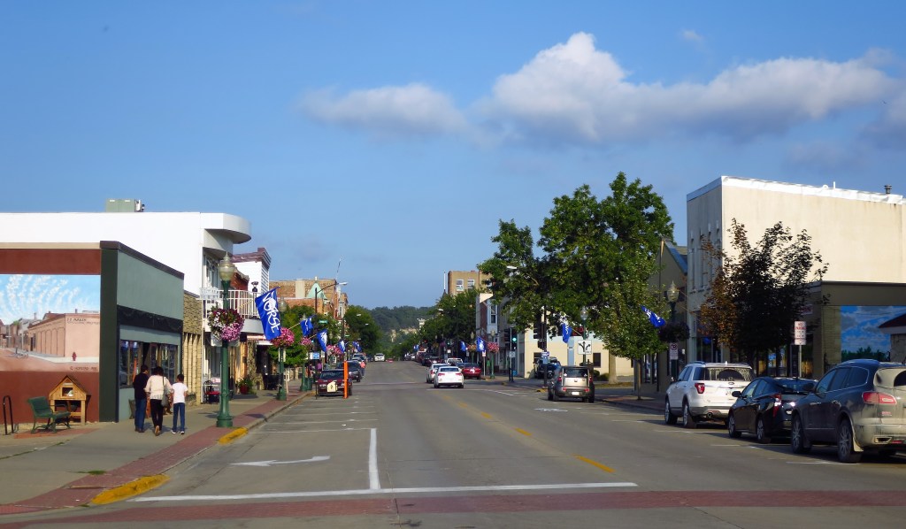
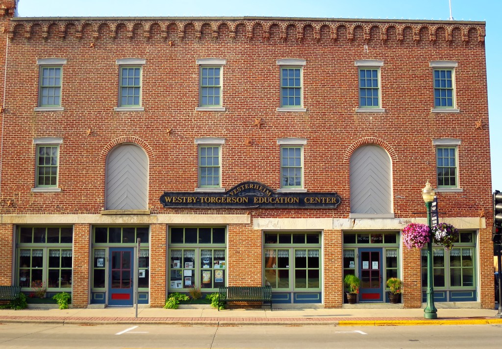
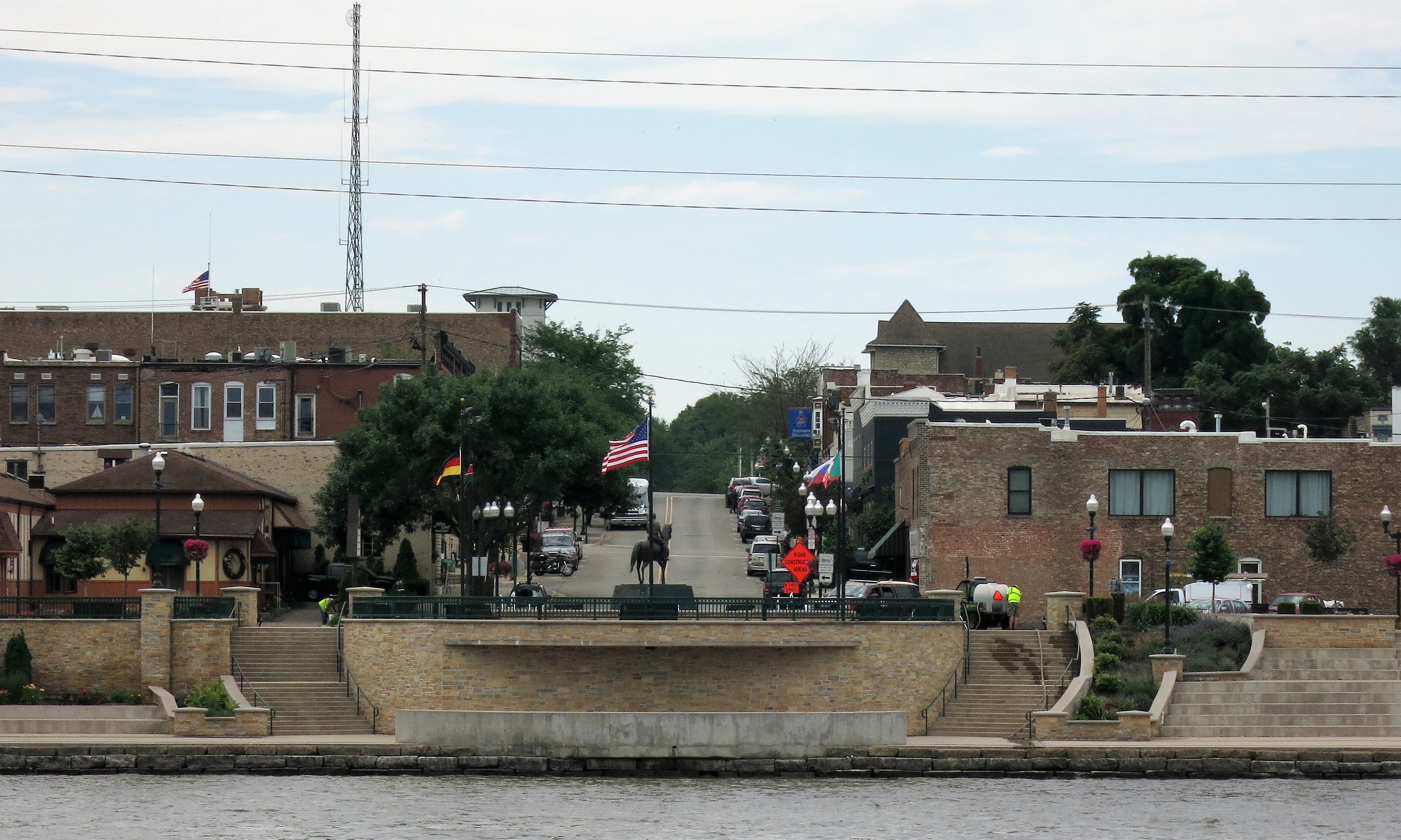
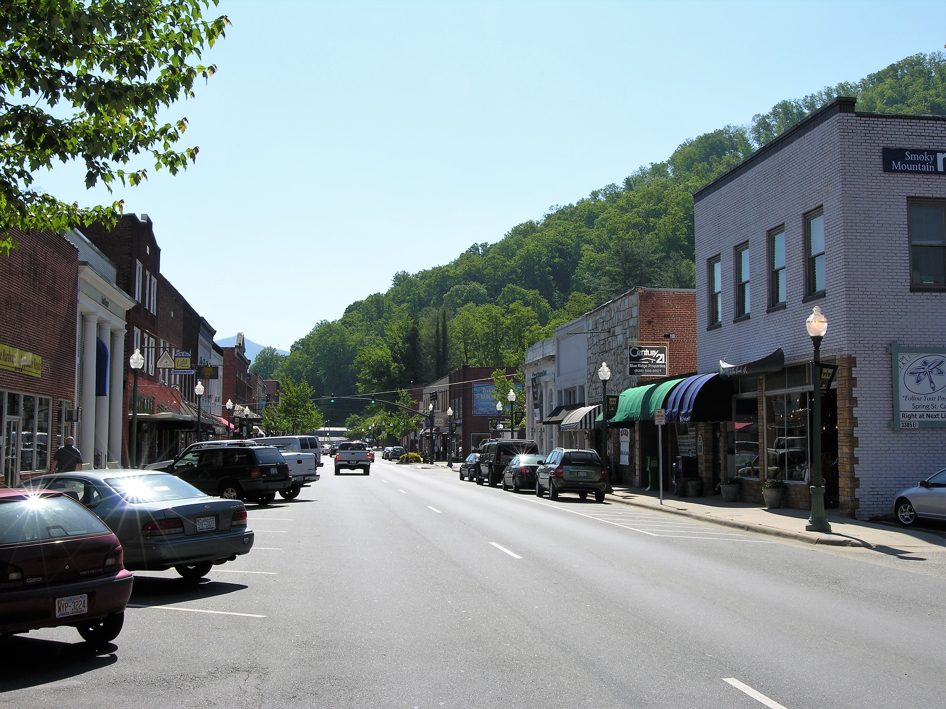
After reading about those two young adventurers I wandered over to the Taste of Grand coffee shop for some lunch so I could digest what I had just seen and read. The shop is located inside the old Grand Hotel, a remnant of a bygone era.
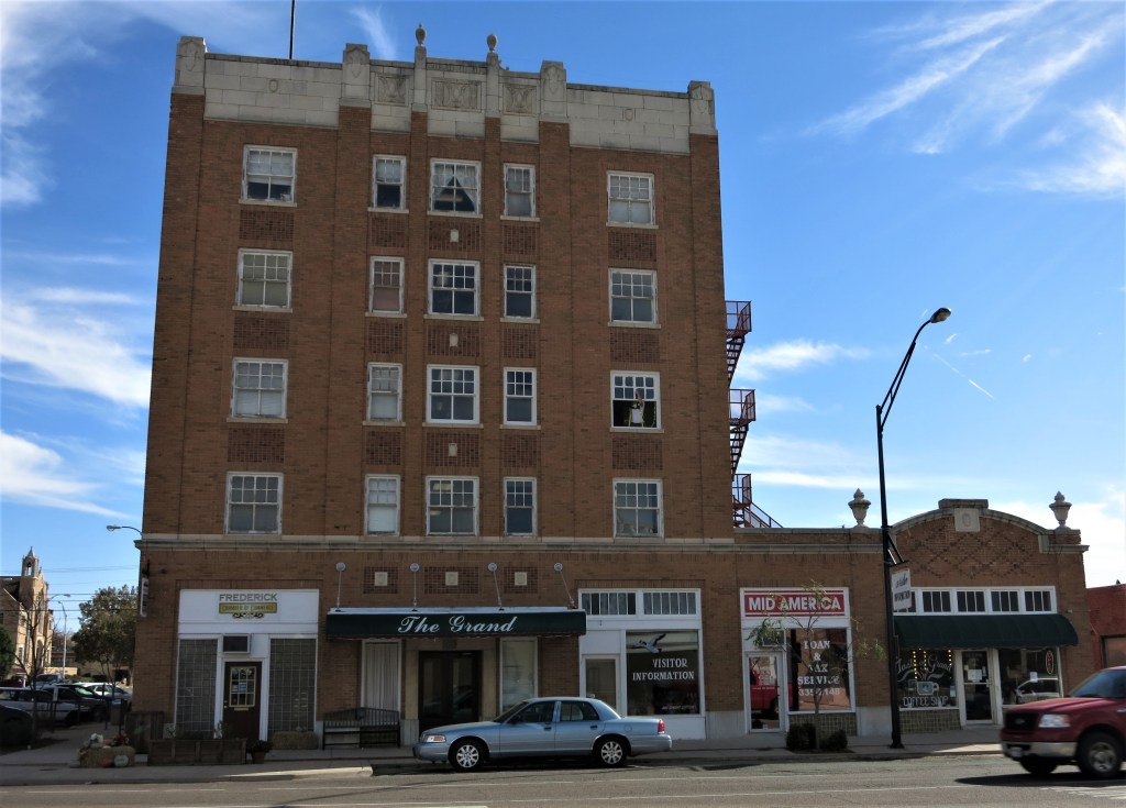
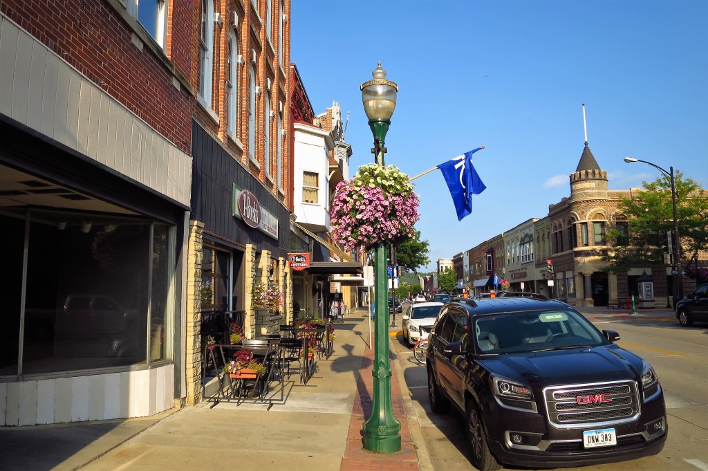
A Taste of Grand is actually a few doors off Grand Avenue but in the shadow of the old 5-story hotel. The old art deco building seems a bit out of place these days and in fact, no longer operates as a hotel; nevertheless, it remains the largest building in Frederick — the courthouse and the First Baptist Church following behind.

Taste of Grand was run by a sweet little old lady. She wore a pair of powder blue stretch pants and horned-rim glasses. I was her only customer at lunchtime. She served me some of her homemade chunky potato soup and a pepper-jack grilled cheese sandwich. Good potato soup is always flavored with onion and mushroom and my hostess was smart enough to know that. After serving my food she turned on a recording of Gospel music for my dining enjoyment. “Amazing Grace” and “O Happy Day!” complement a simple meal quite well on a sunny Monday. Just add in a homemade chocolate chip oatmeal cookie, topped with a pecan half, and you have one certifiably quaint small-town experience.

While enjoying my leisure and wondering how the Abernathy Boys had pulled off their explorations, my thoughts turned to the explorations made by Lewis and Clark. I remember a story of how, upon their return to Washington in 1807, they were toasted at the White House by poet Joel Barlow. The poet raised his glass and toasted: “To Victory over Wilderness which is more interesting than that over Man!”
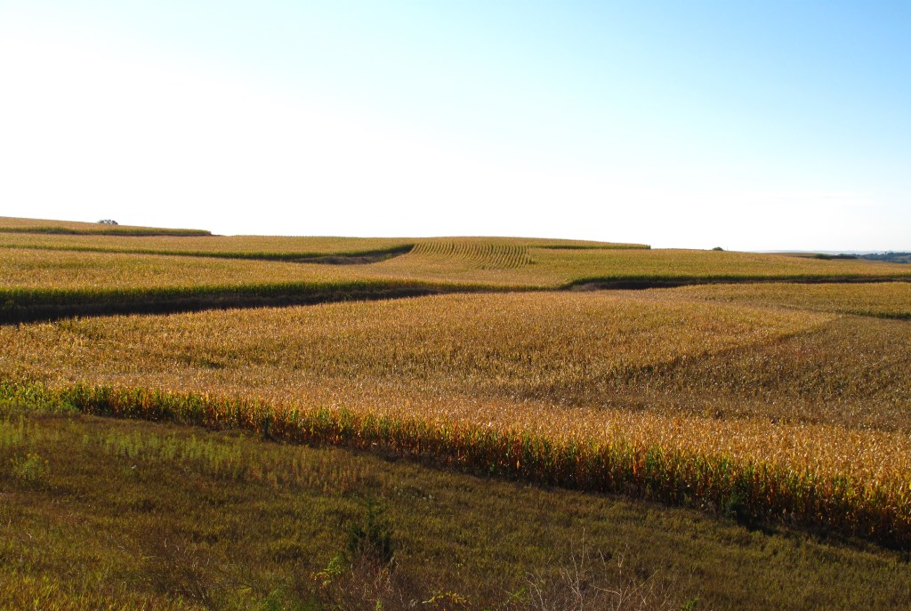
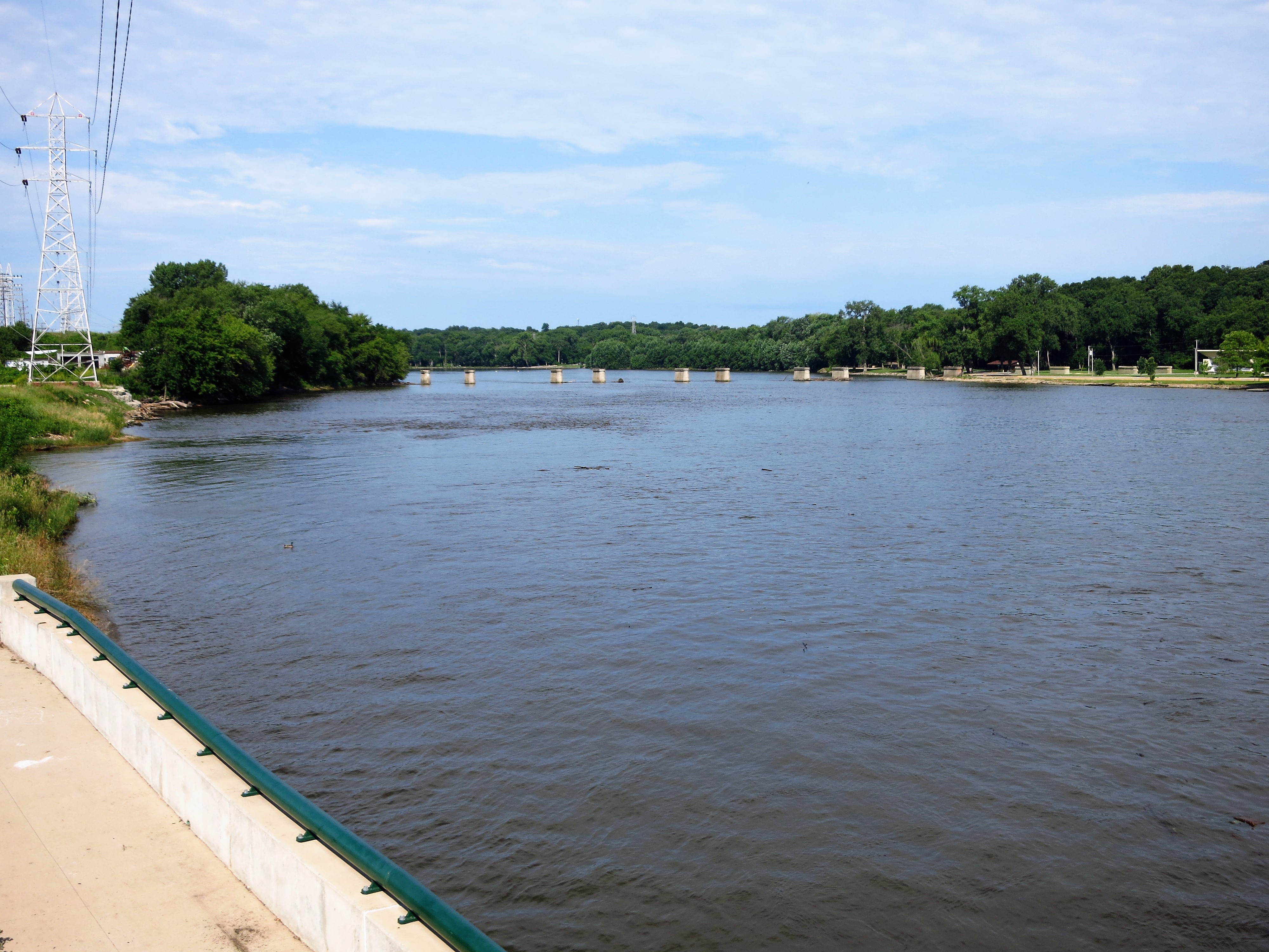
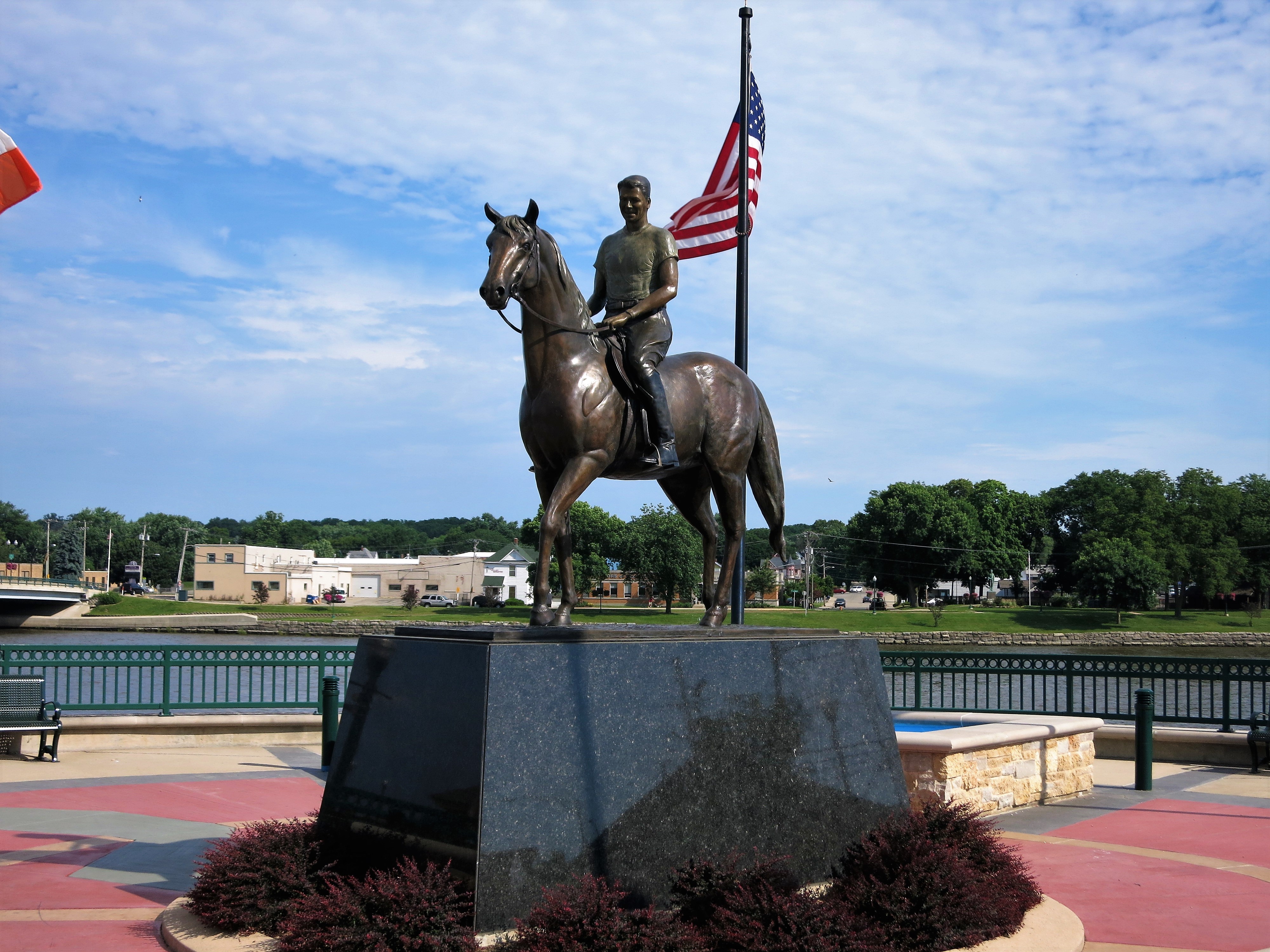
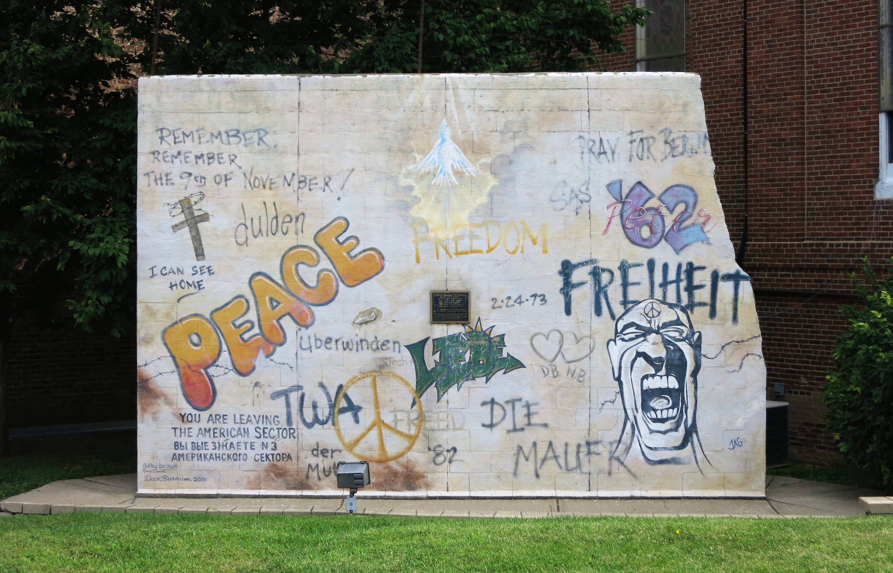
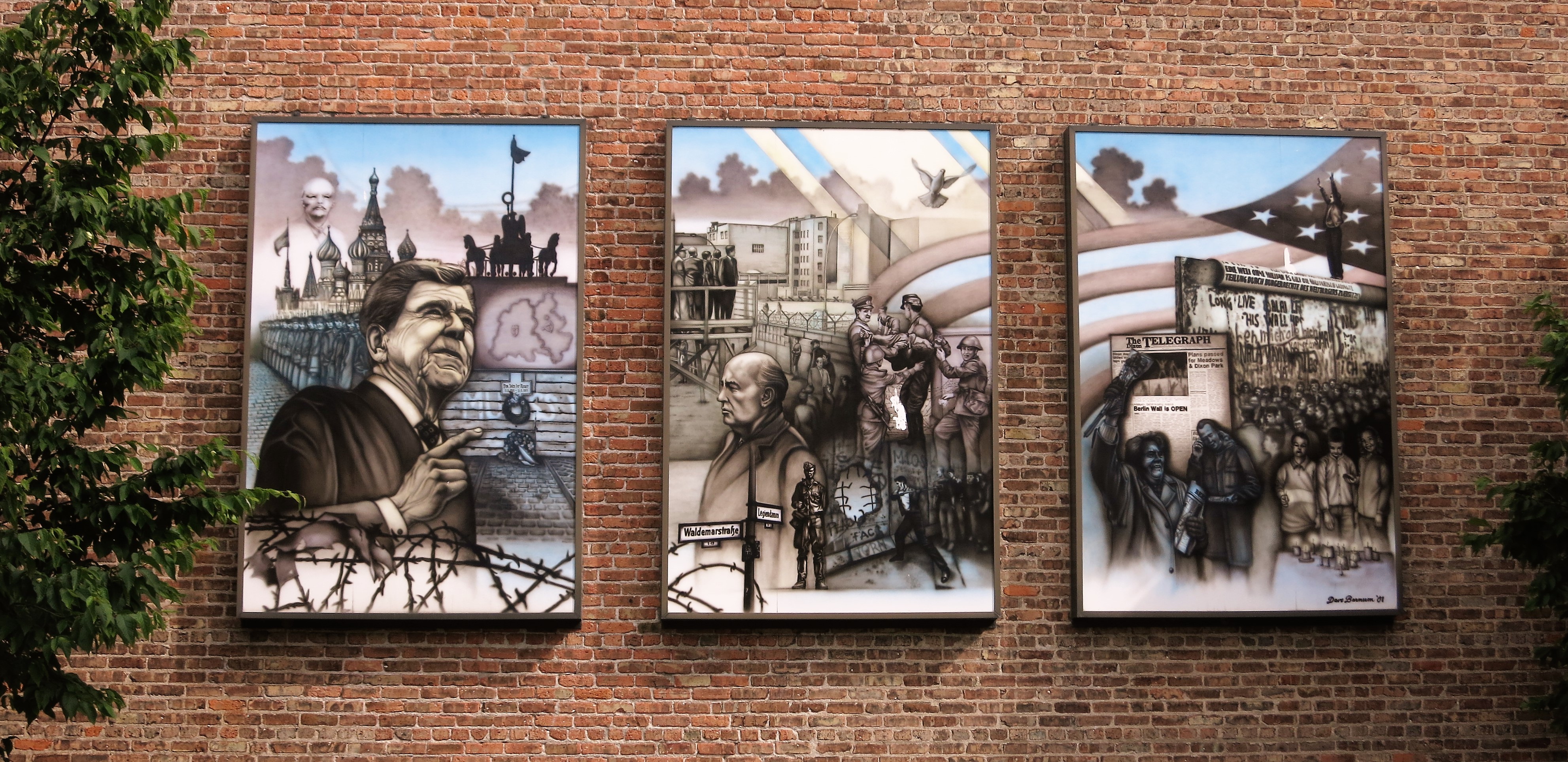
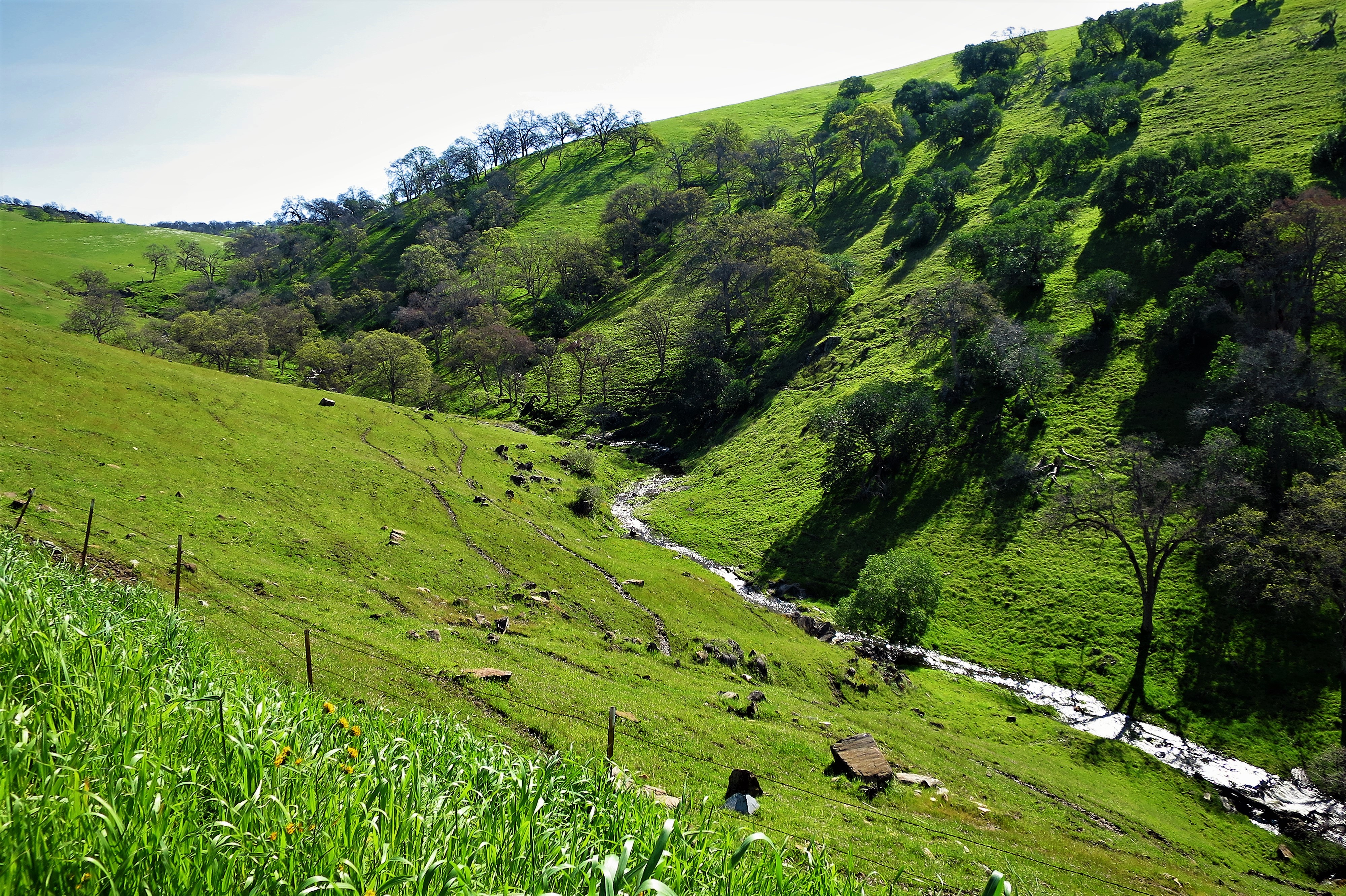
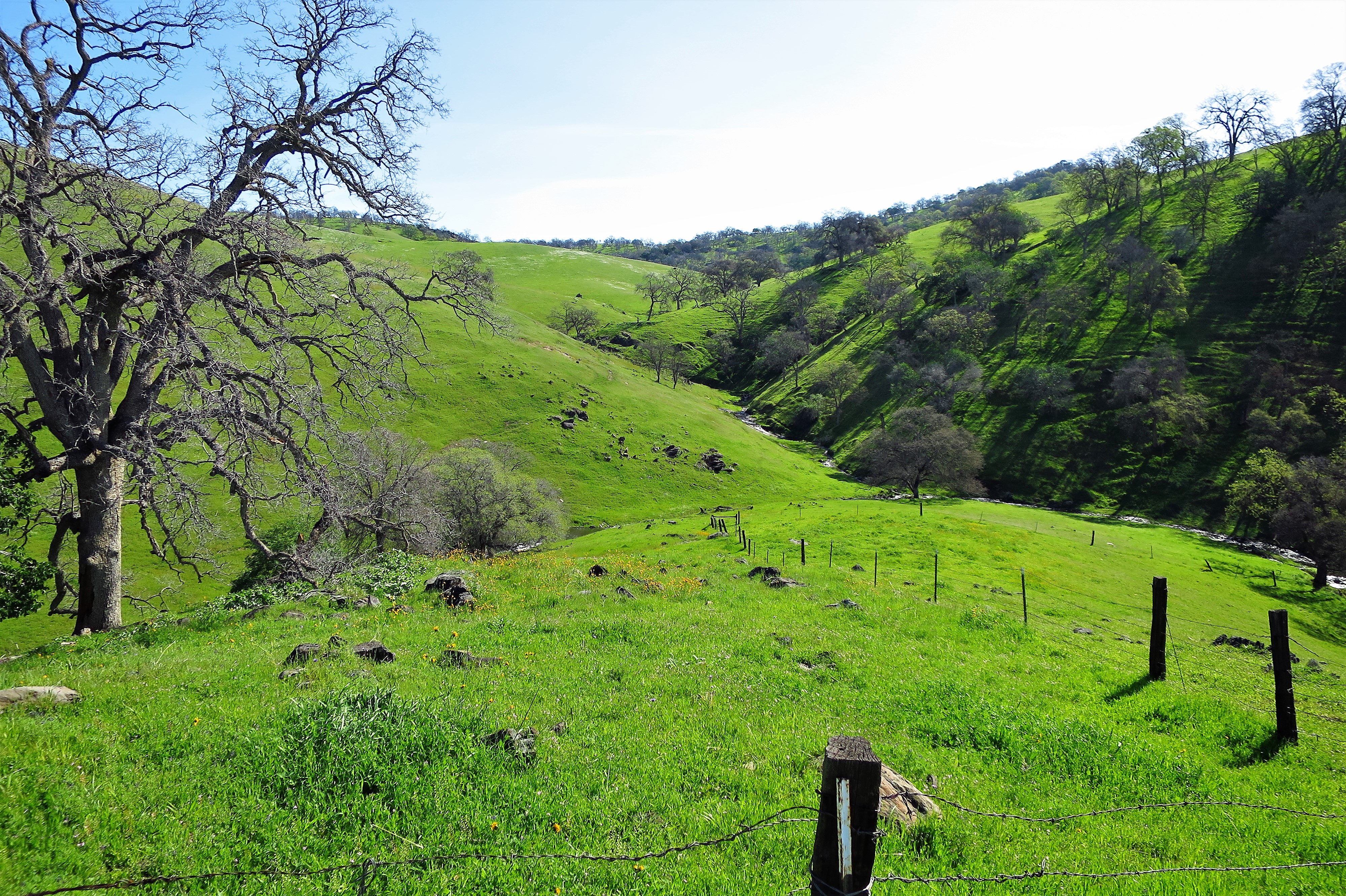
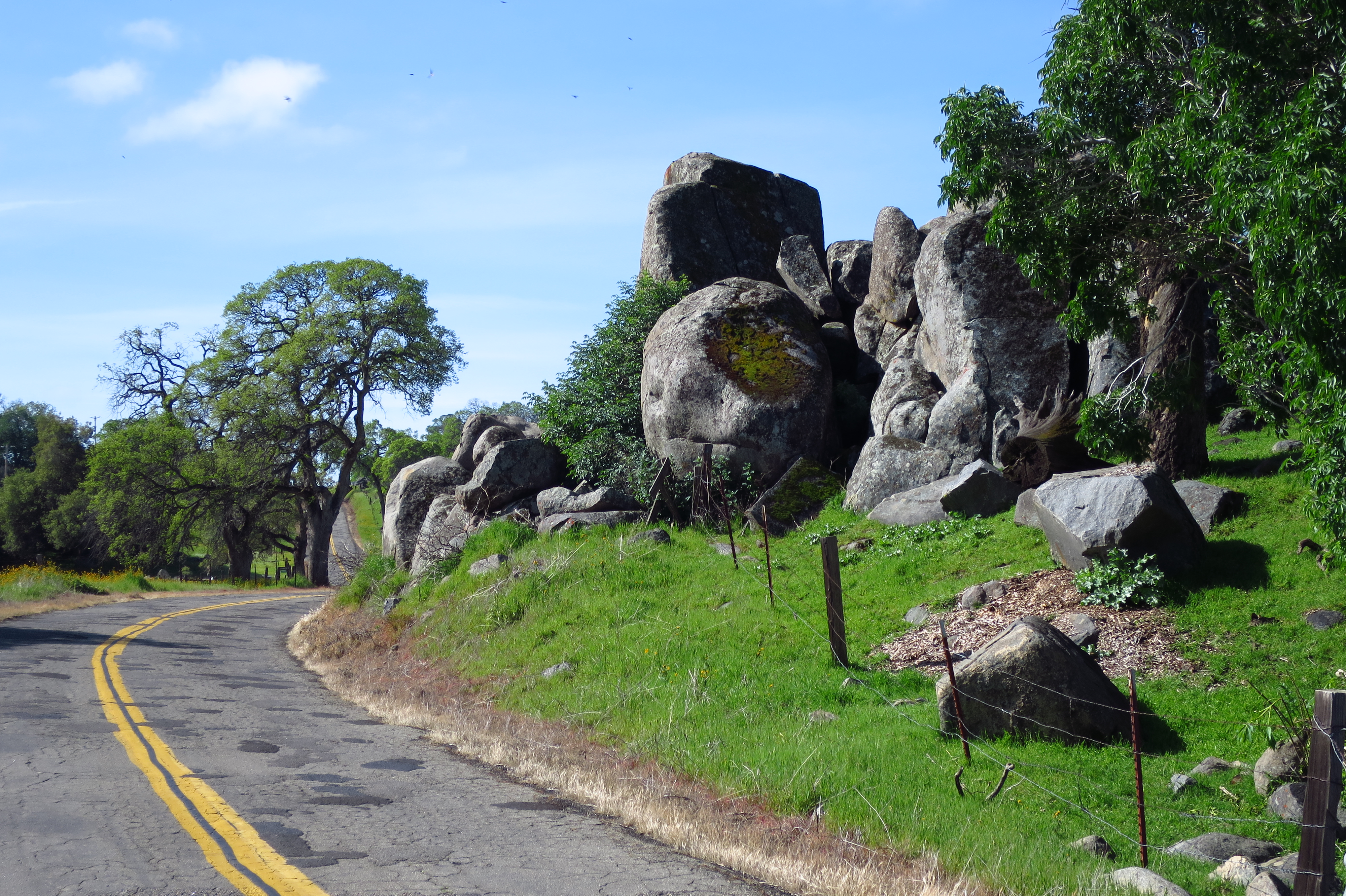
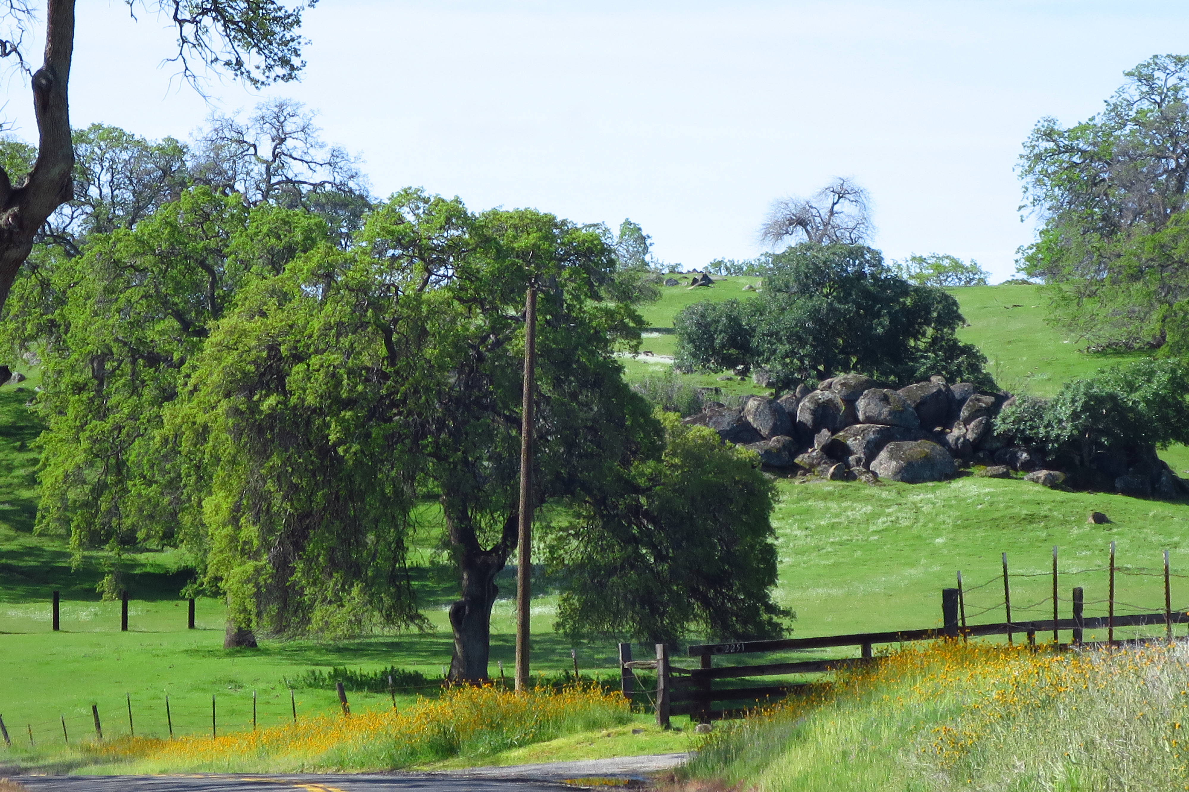
Great words. Even though Lewis & Clark never traversed the land of Oklahoma, their victory over Wilderness is repeated here in various forms.
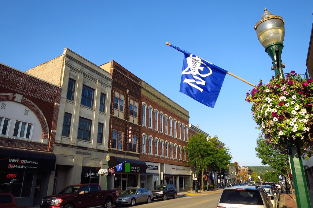
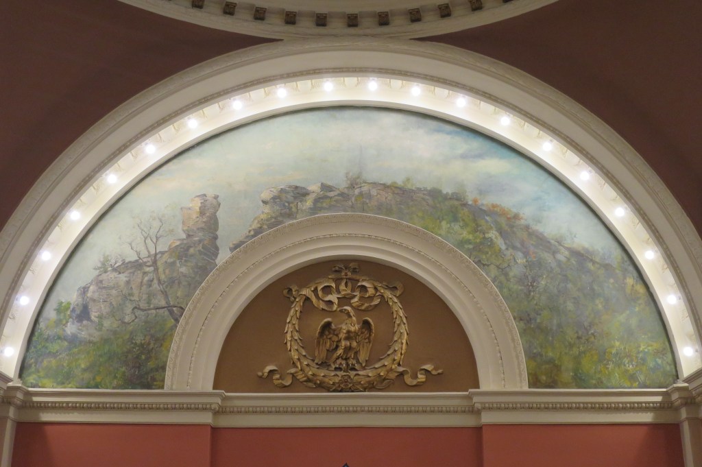
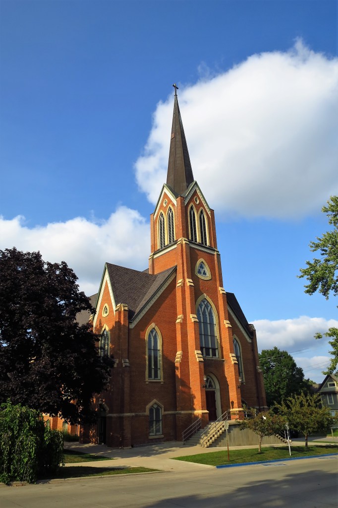
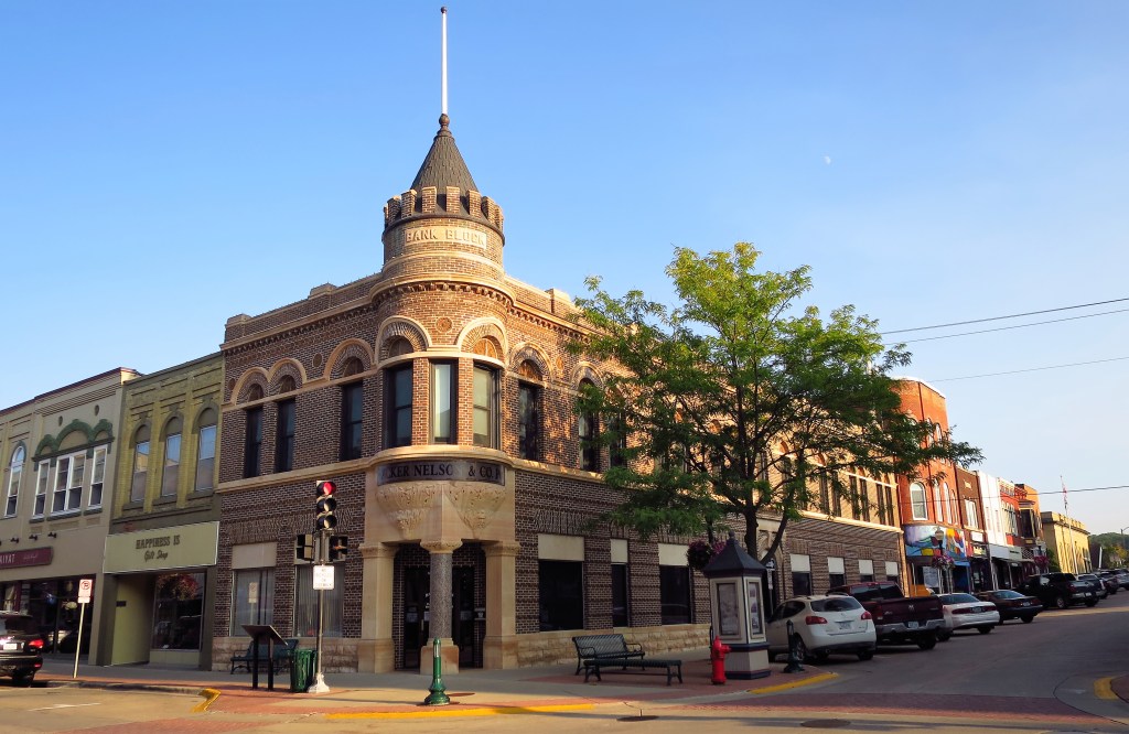
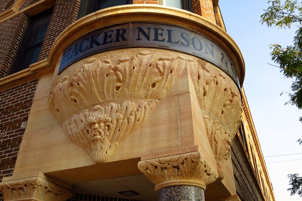
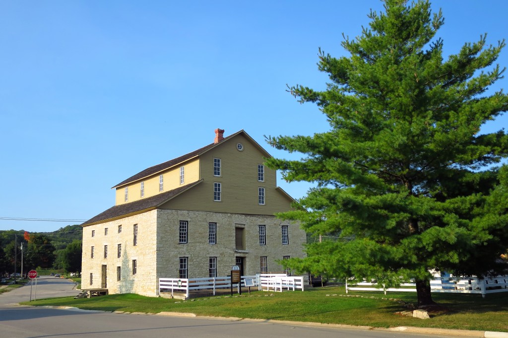
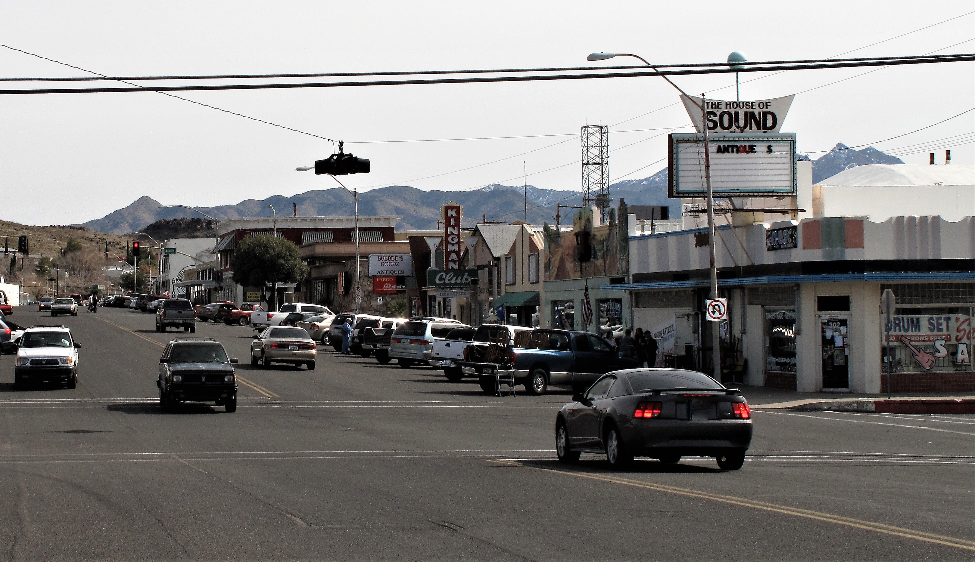
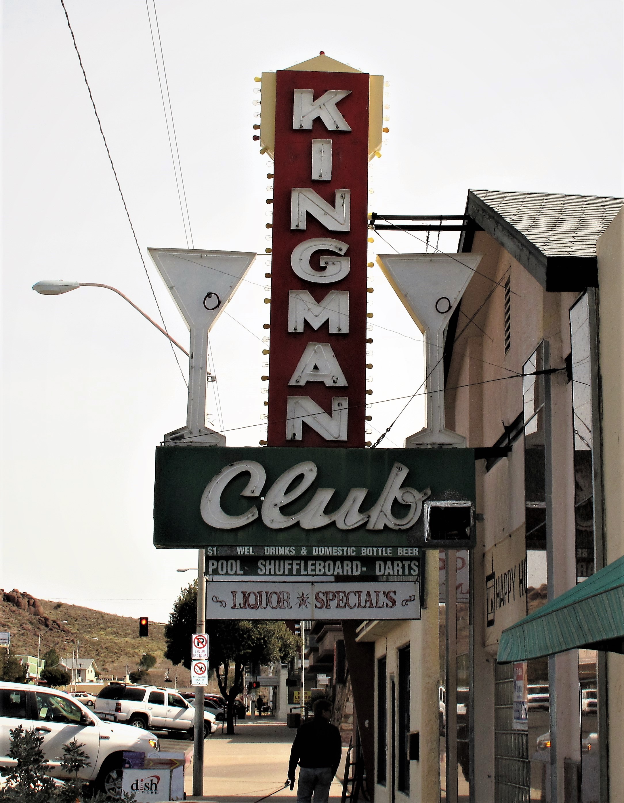
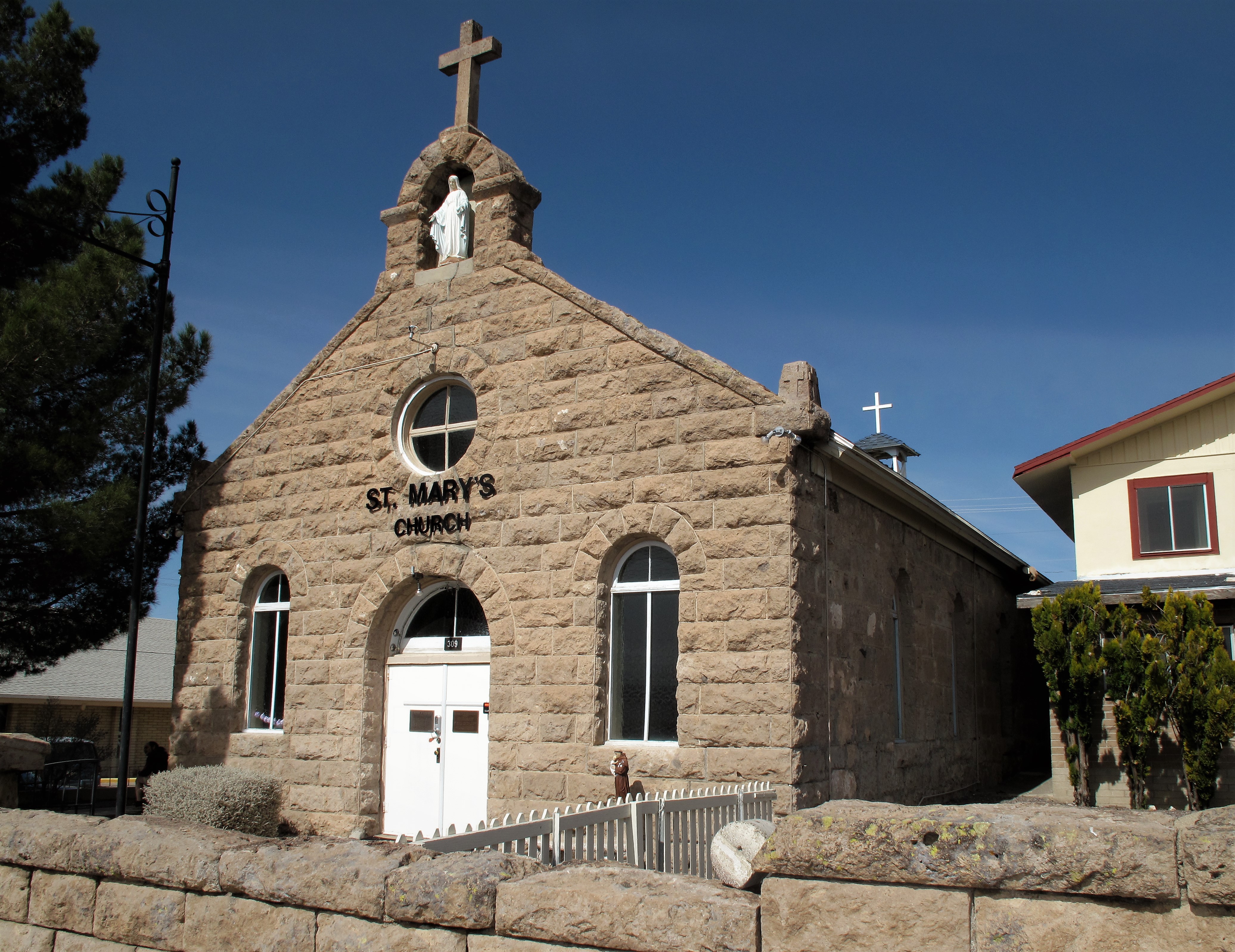
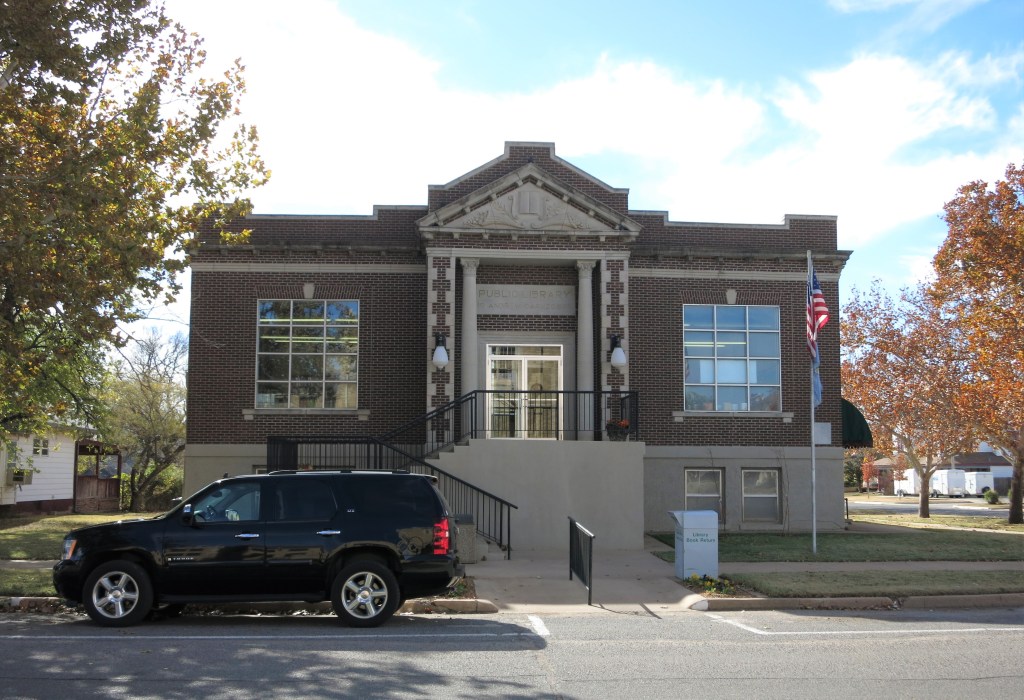
Here’s a good example. Victory over Wilderness requires knowledge. Call it Victory over Ignorance:
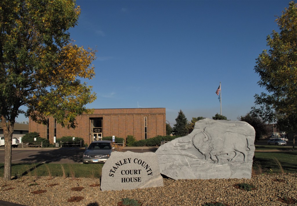
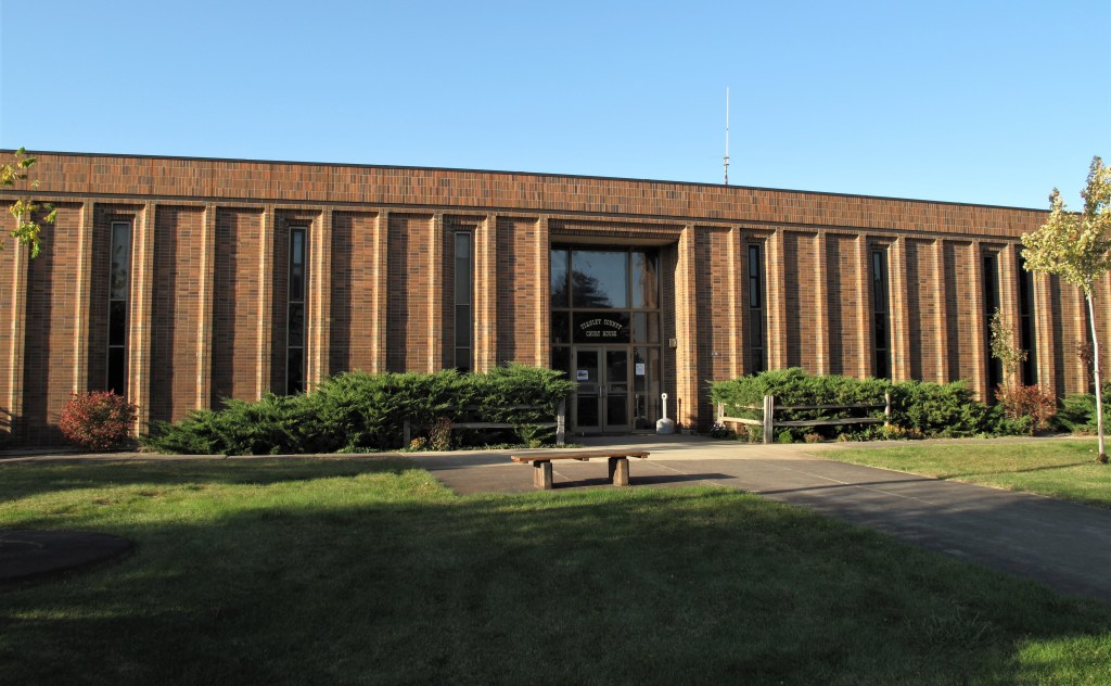
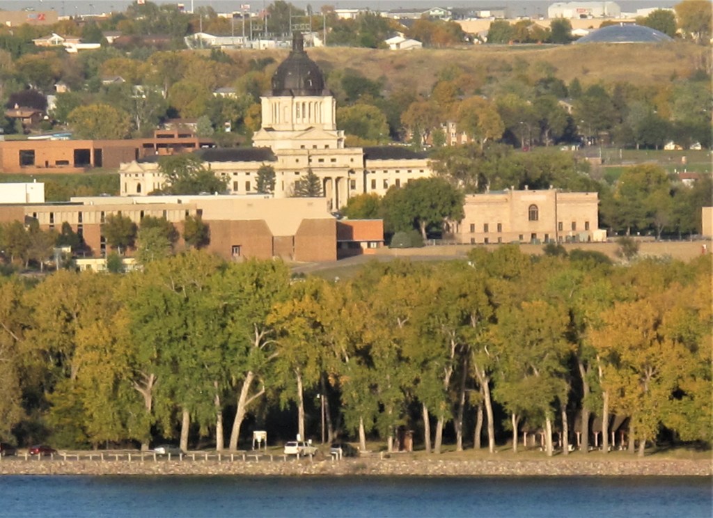
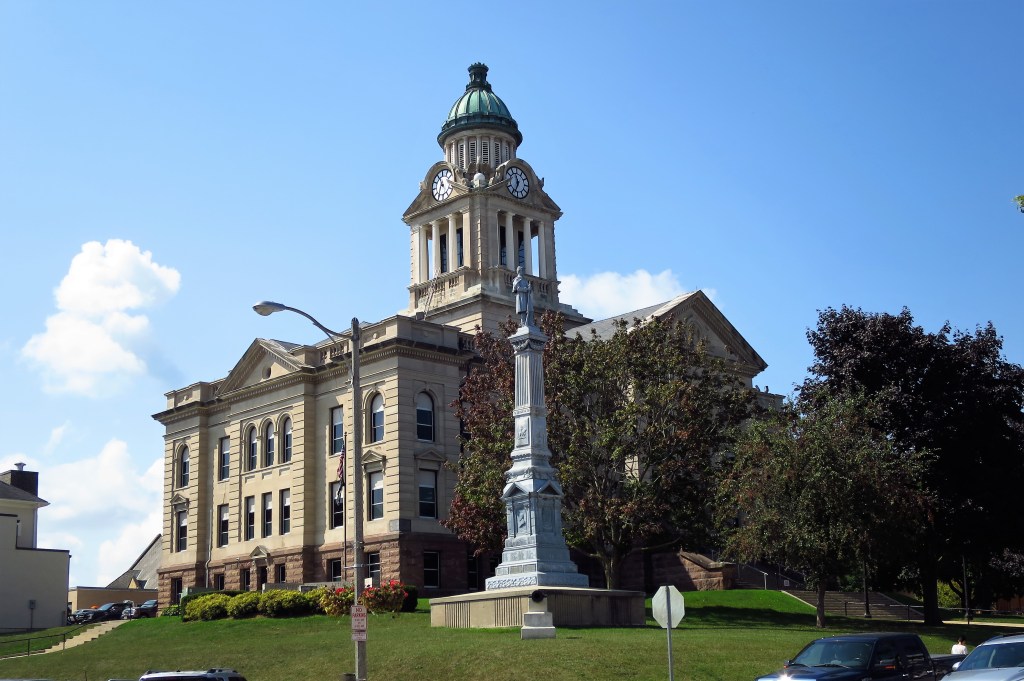
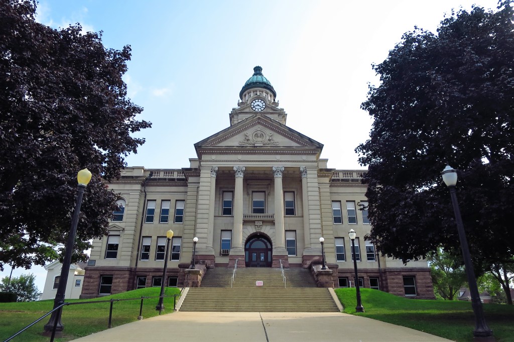
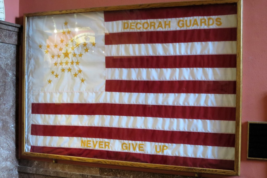
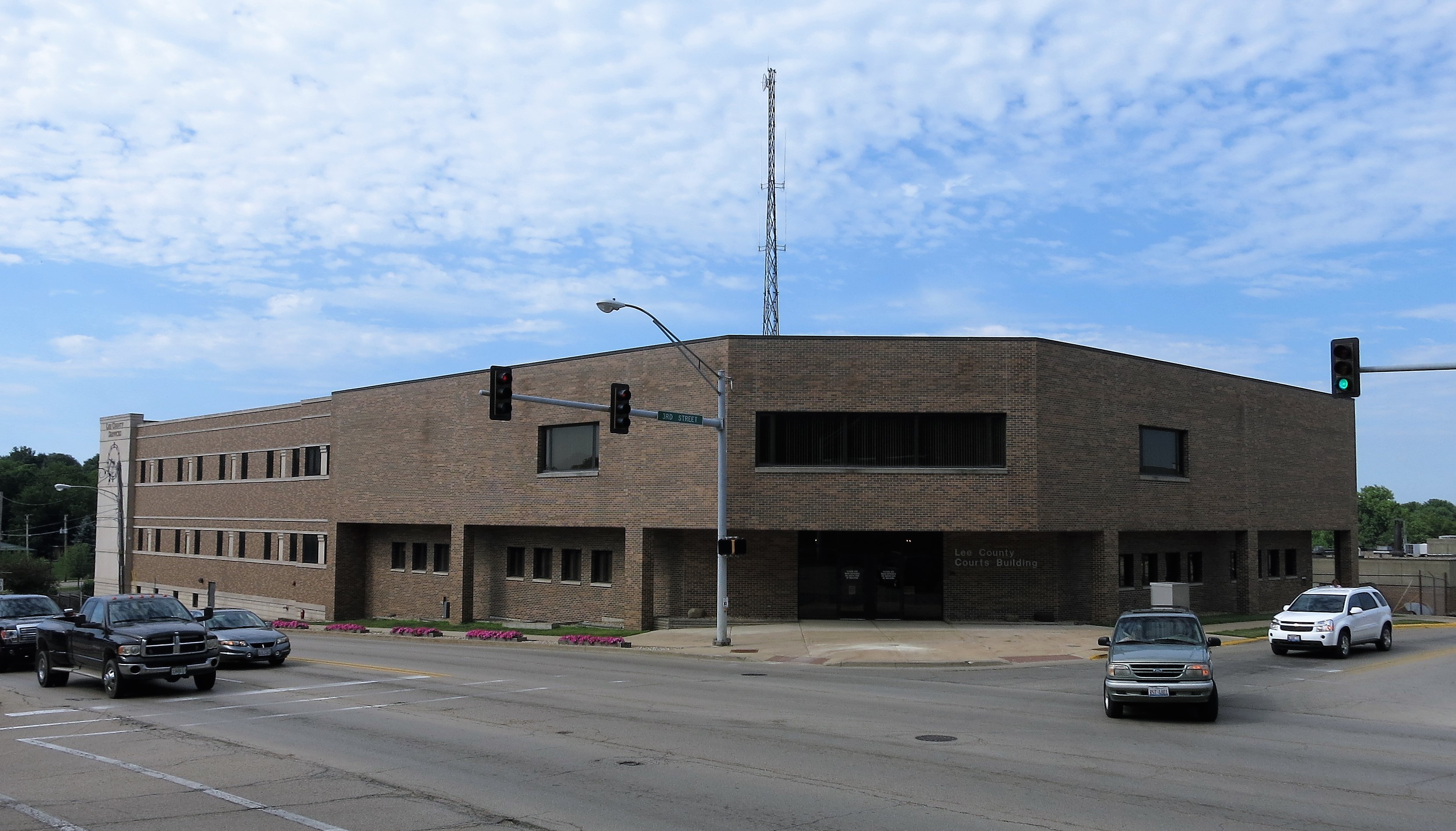
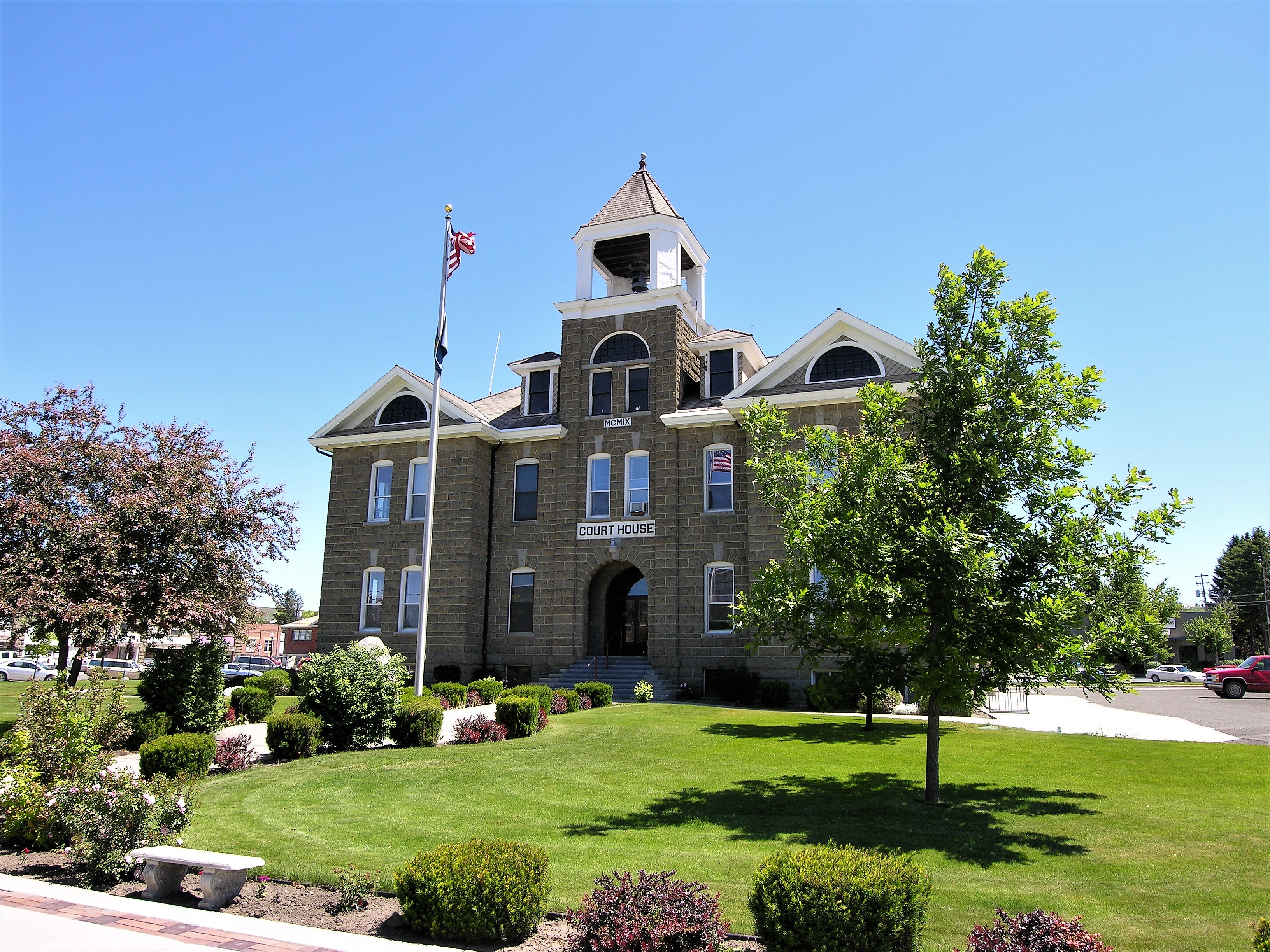
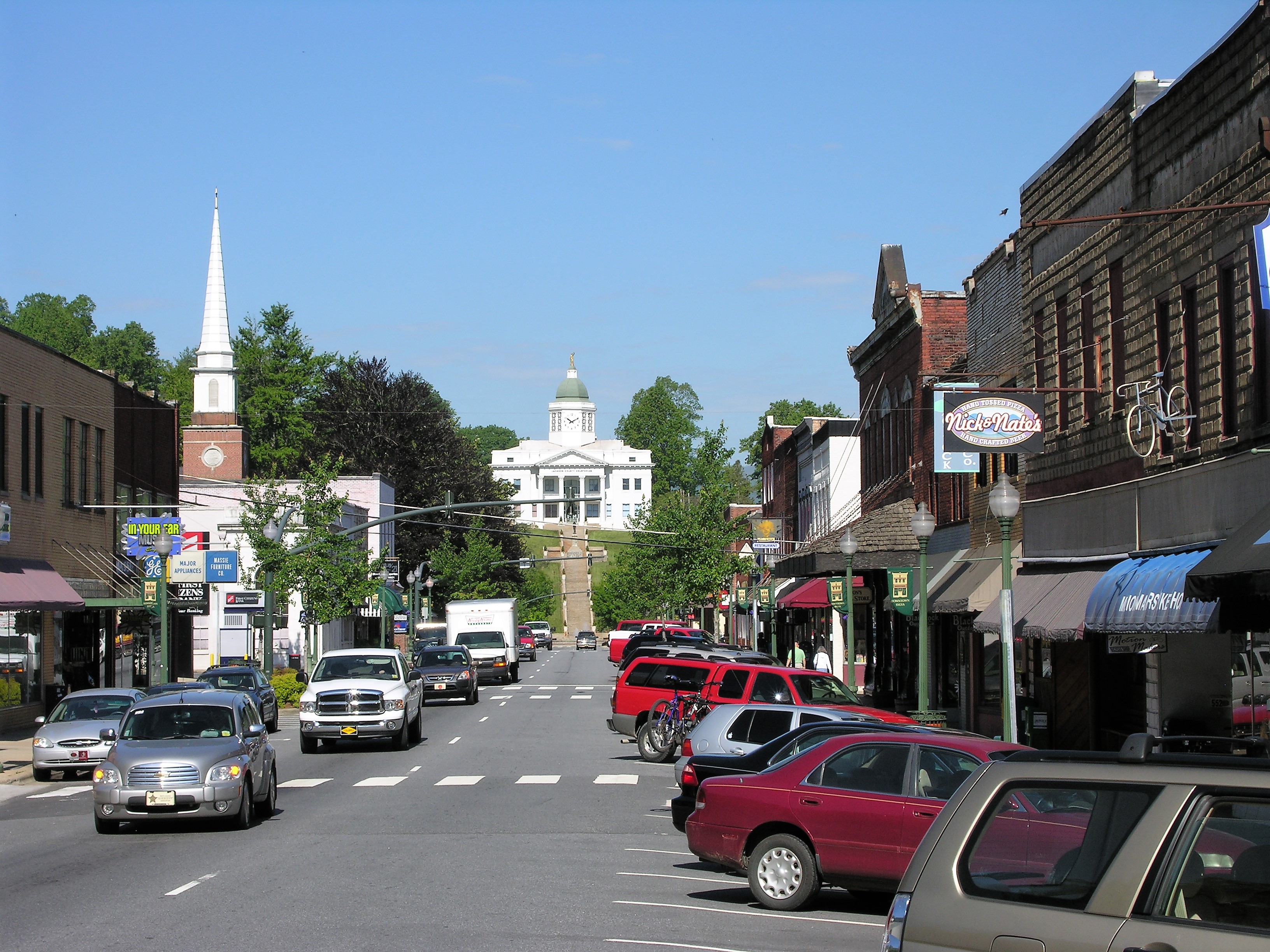
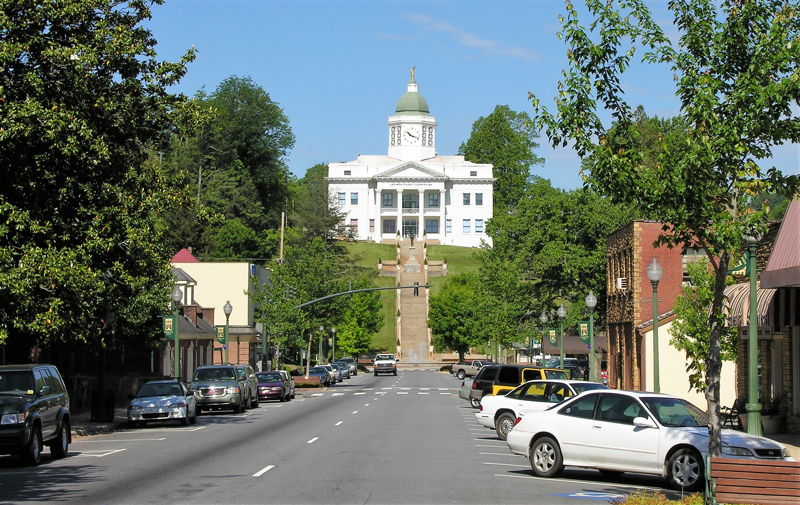
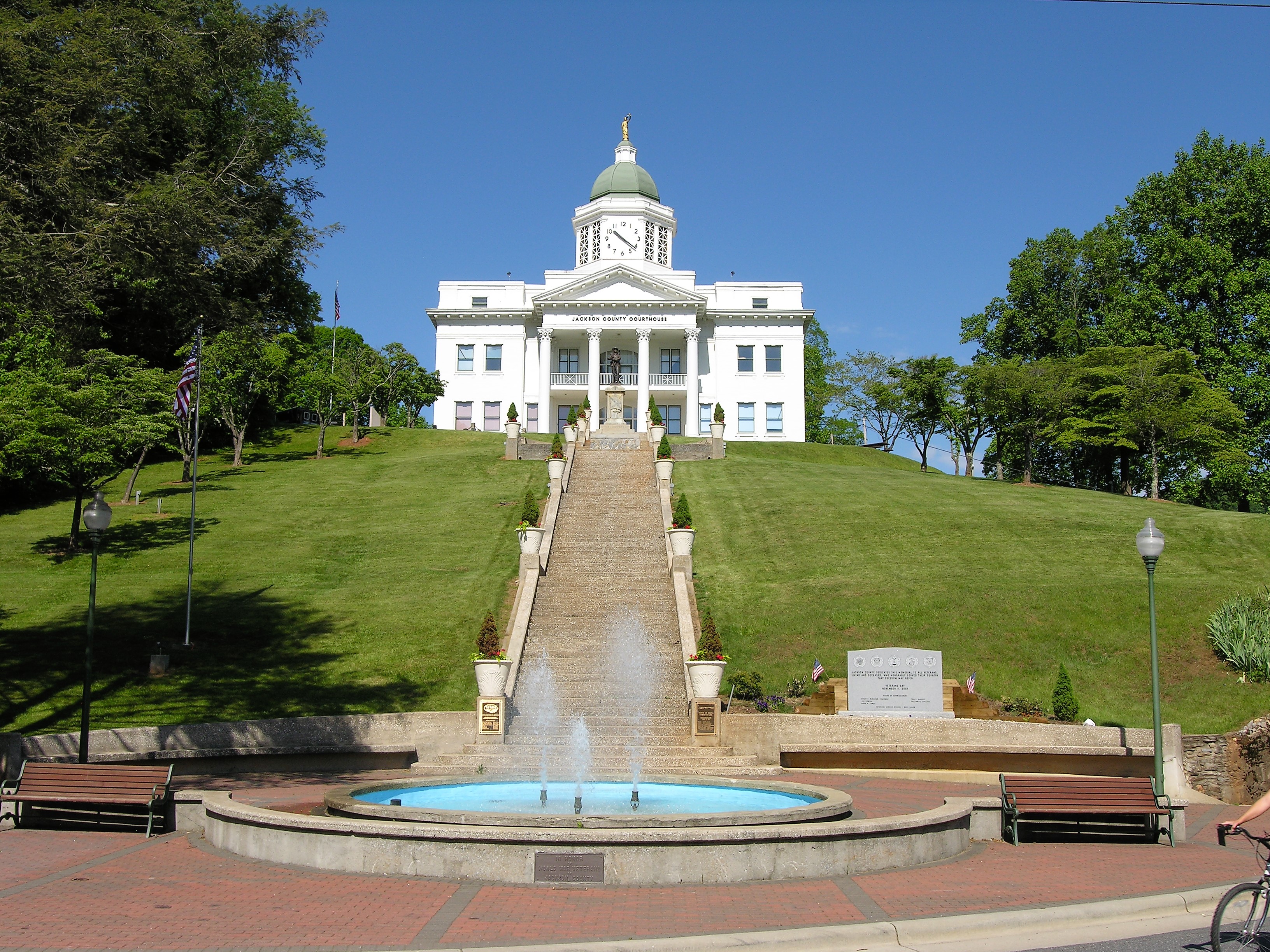
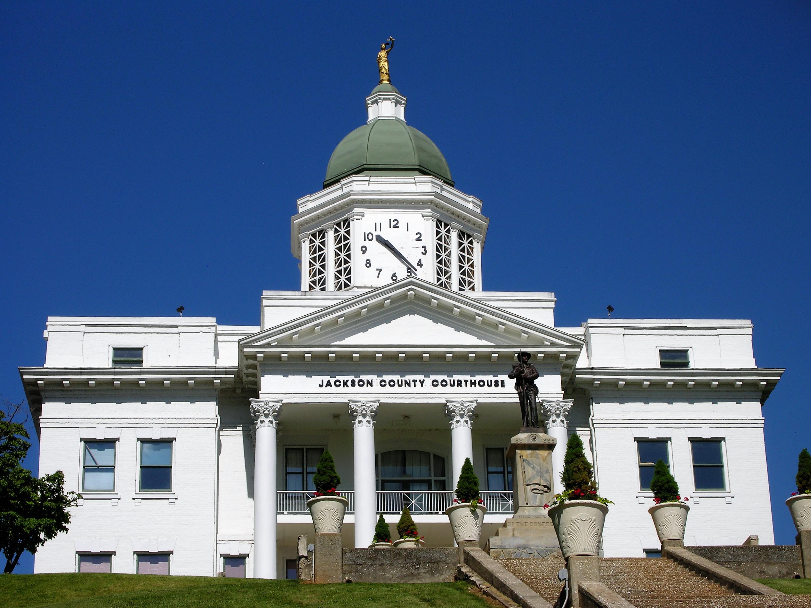
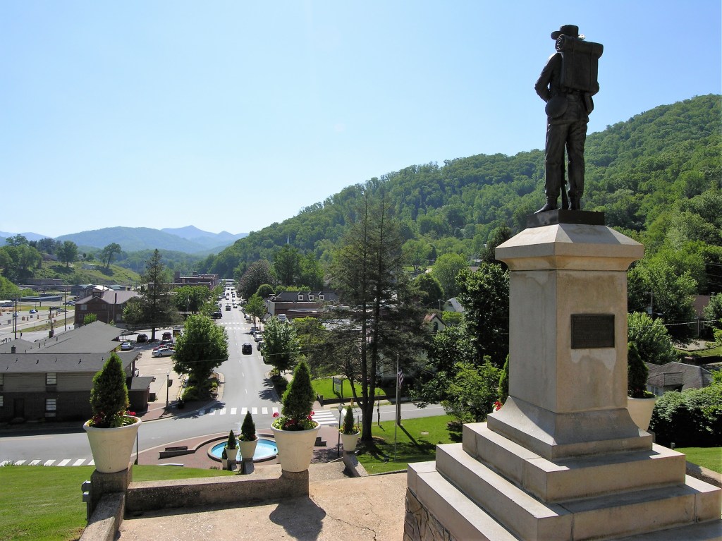
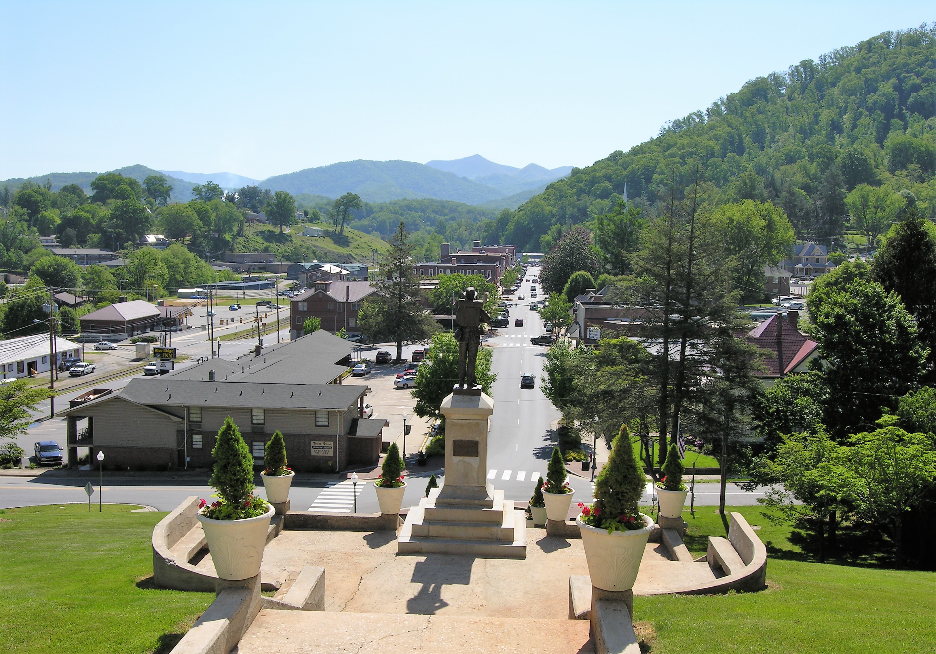
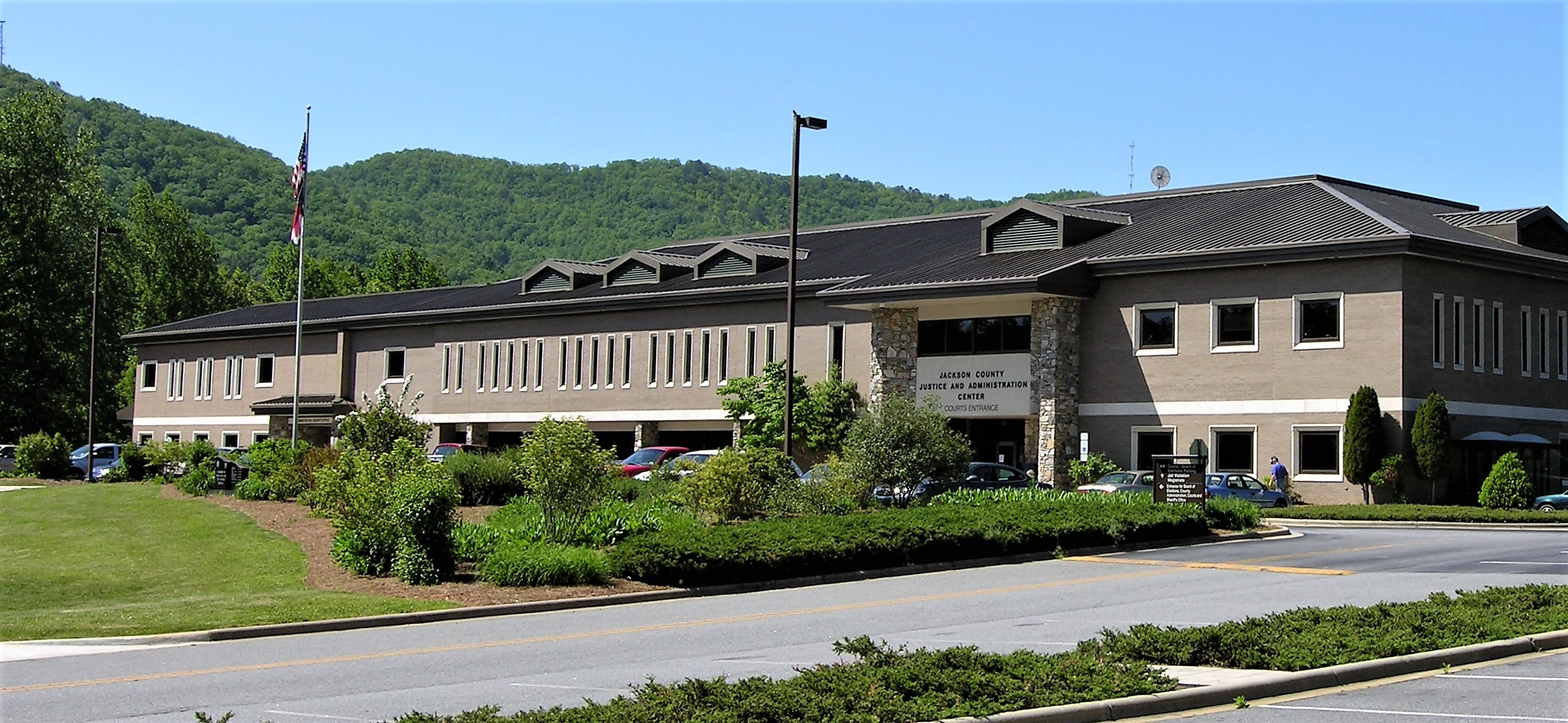
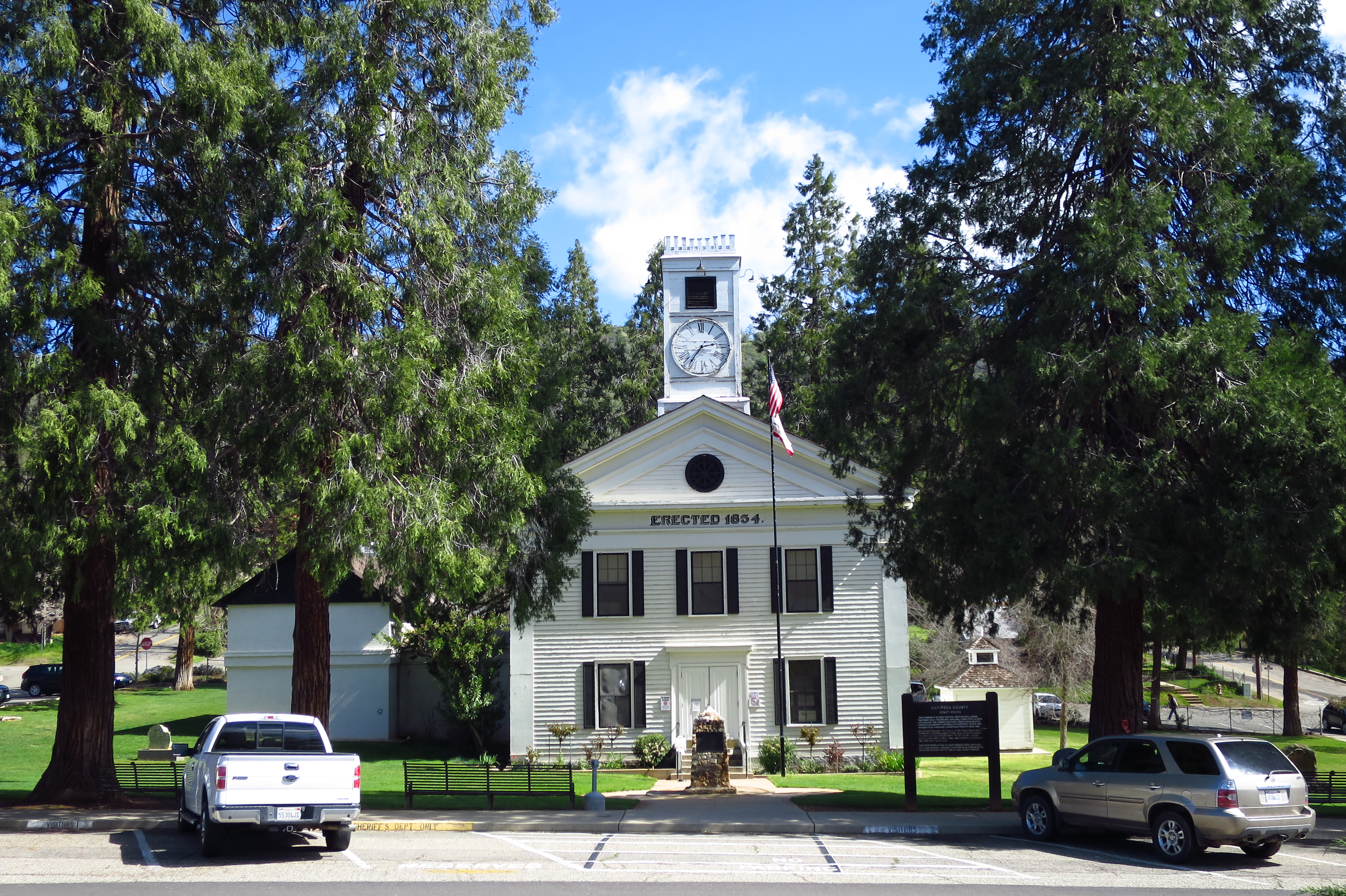
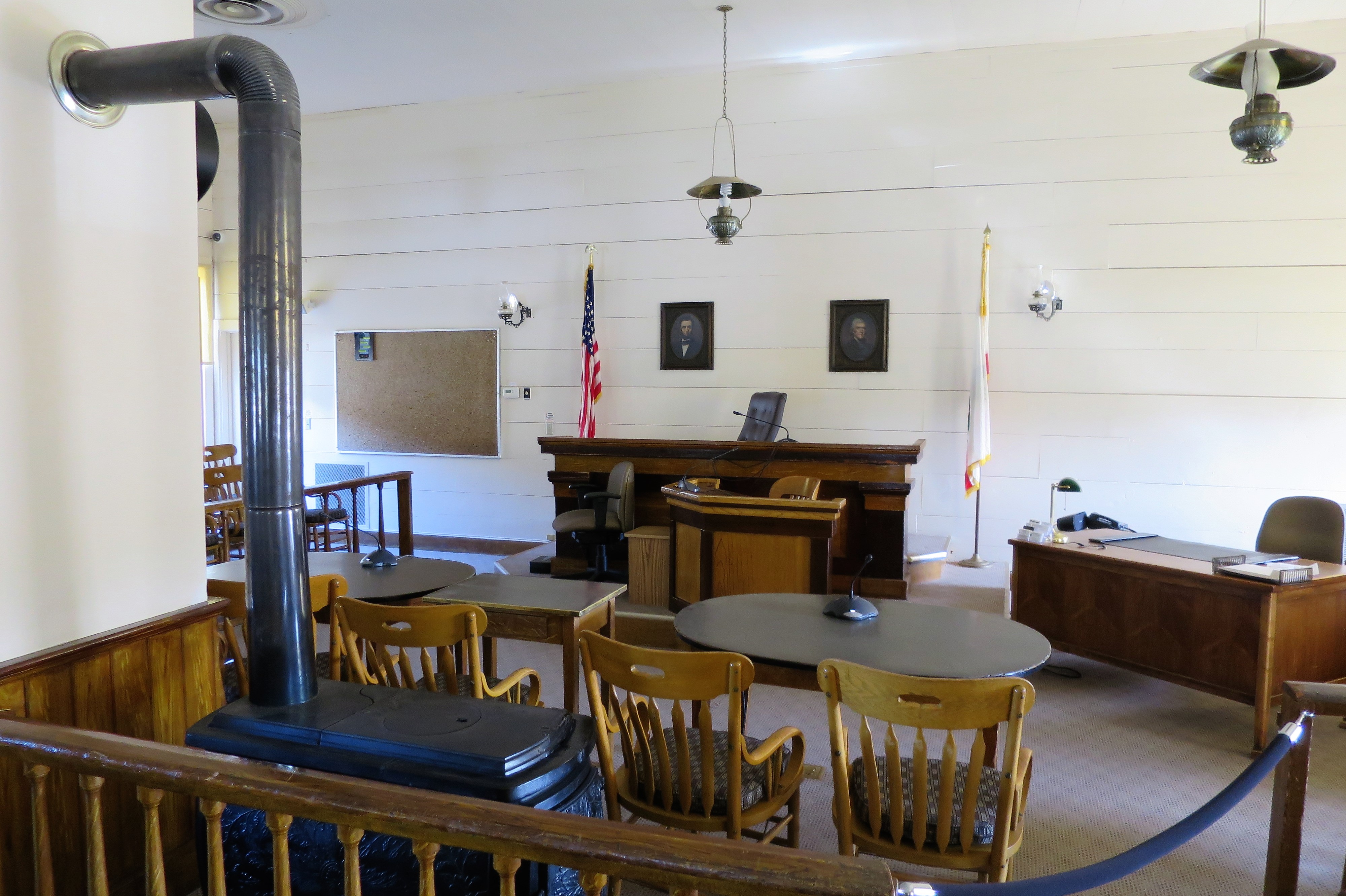
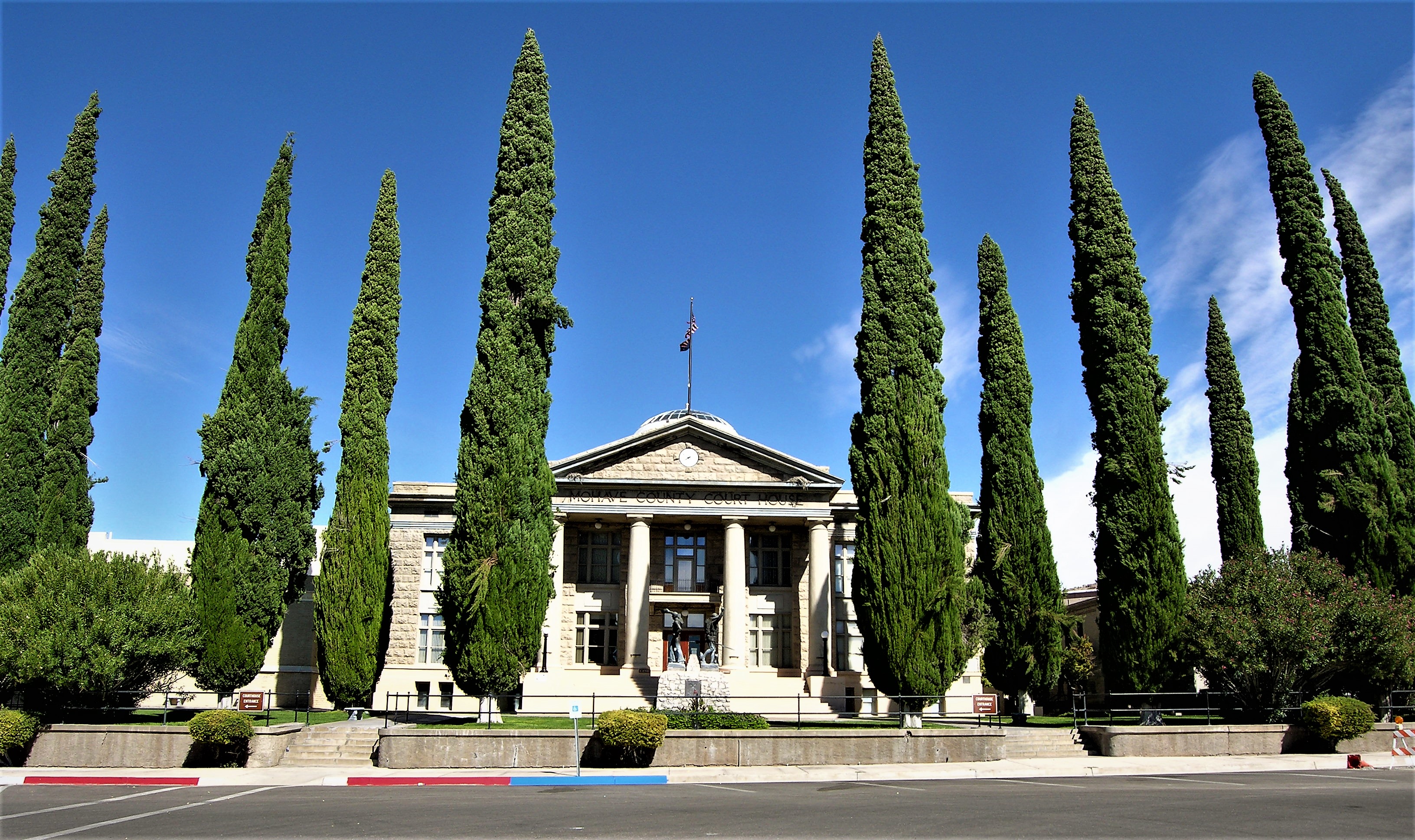
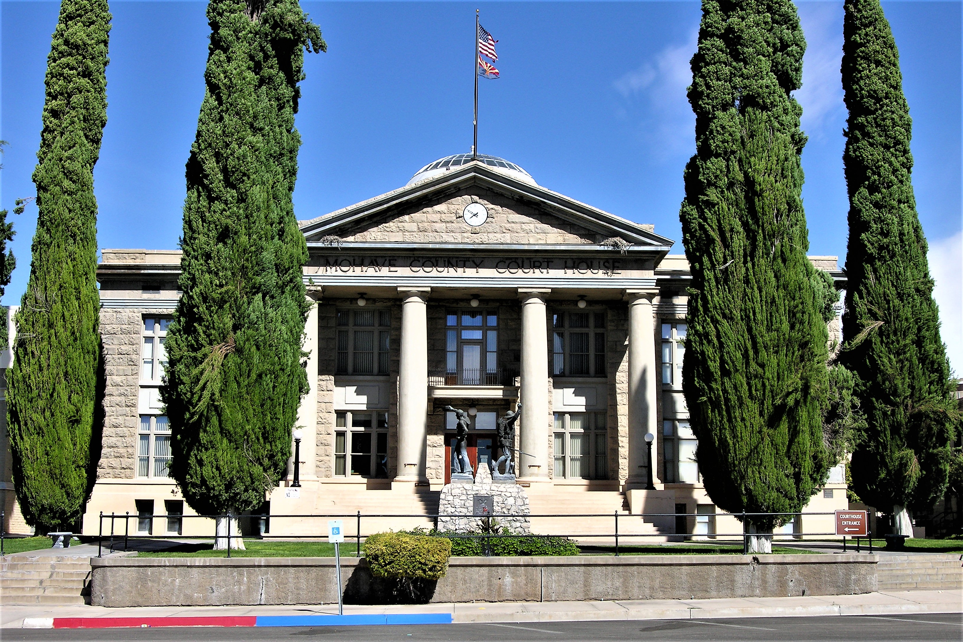
Justice must be served. Here is the Tillman County Courthouse — a Victory over Lawlessness:

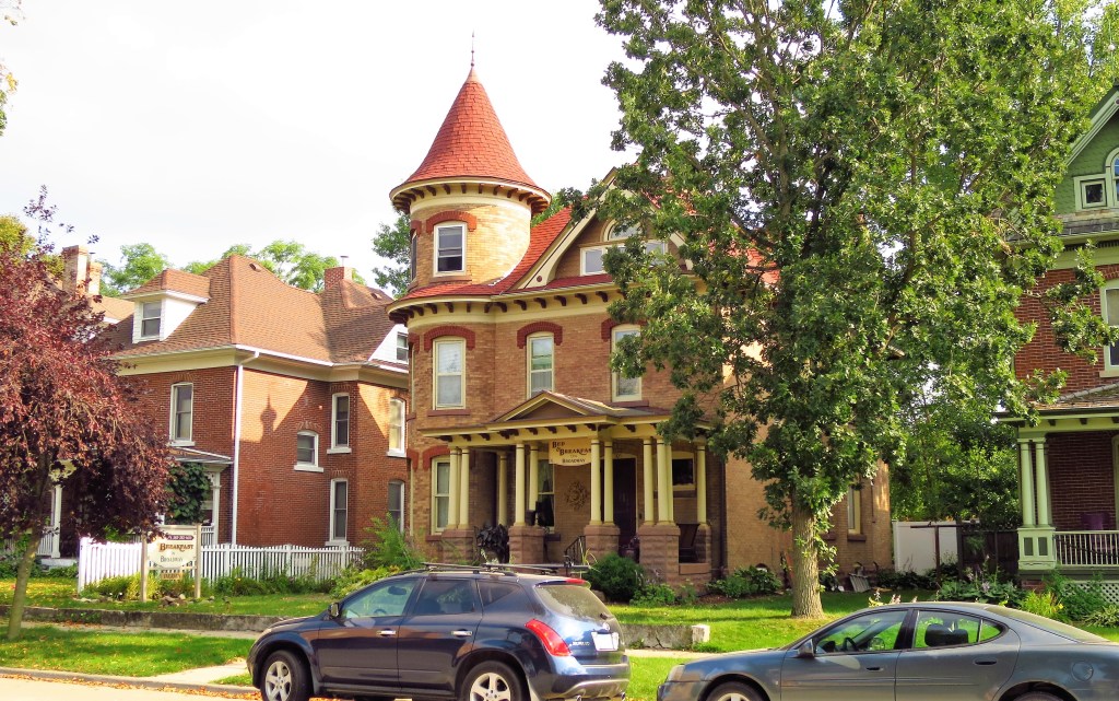
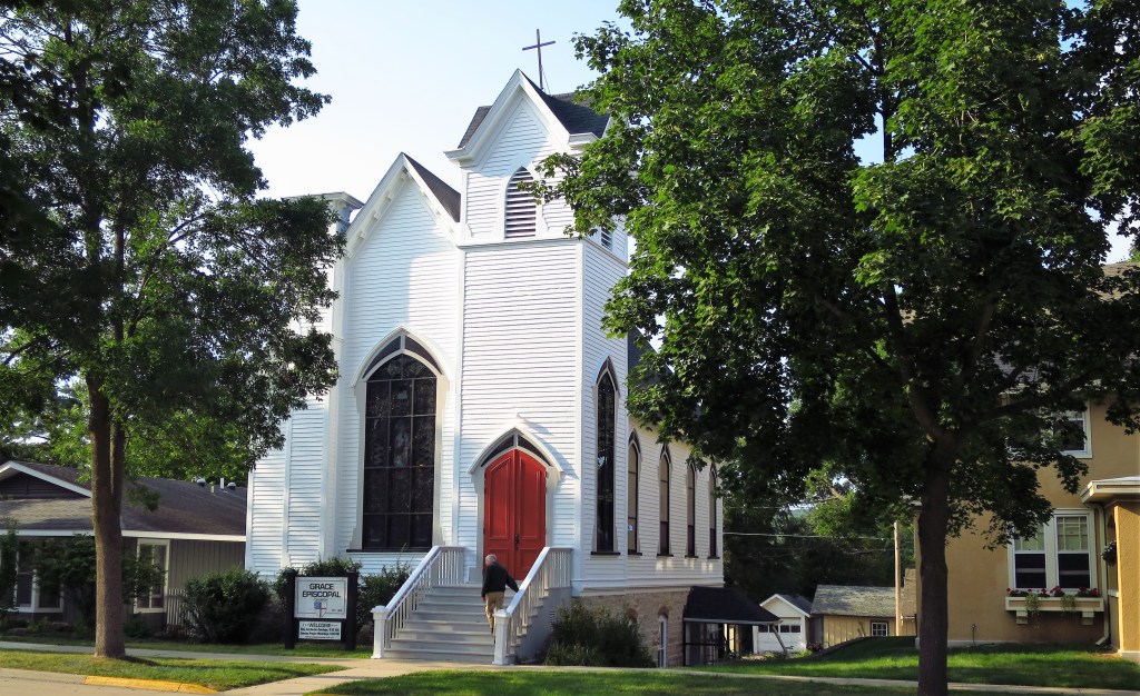
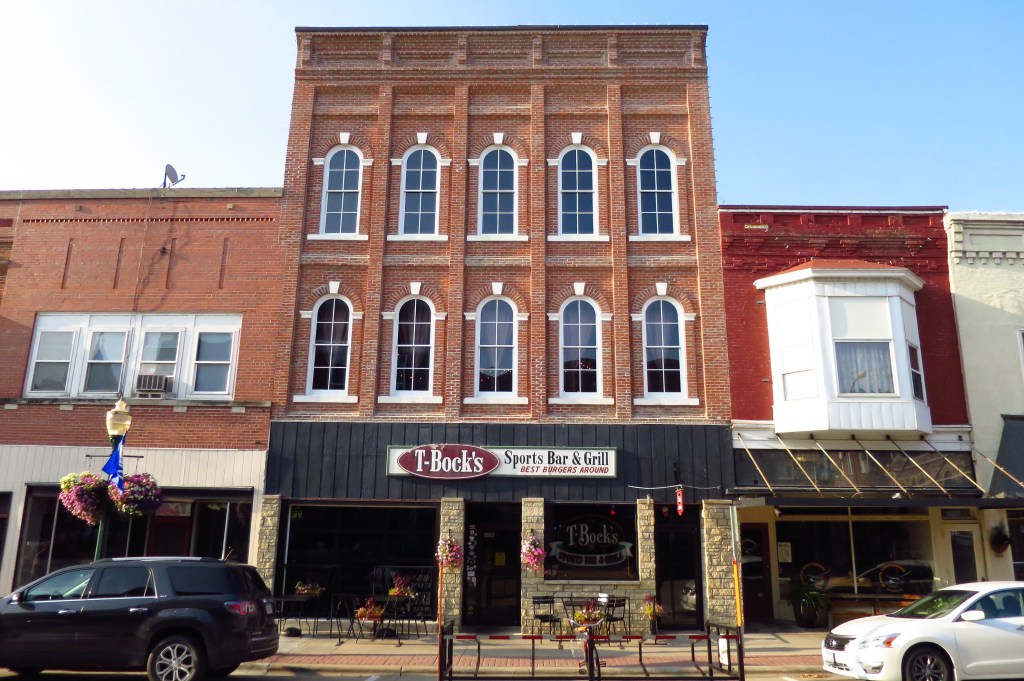
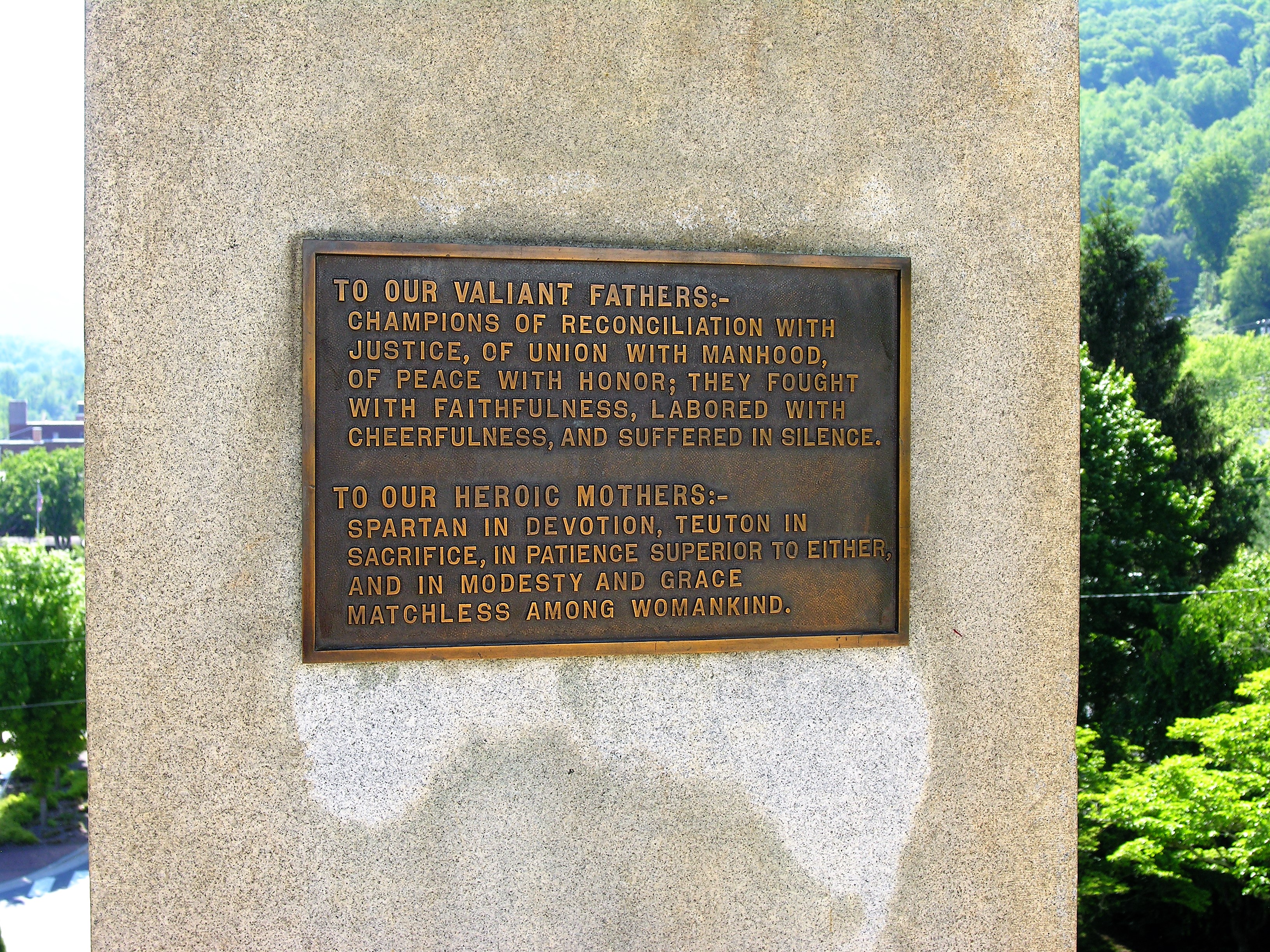
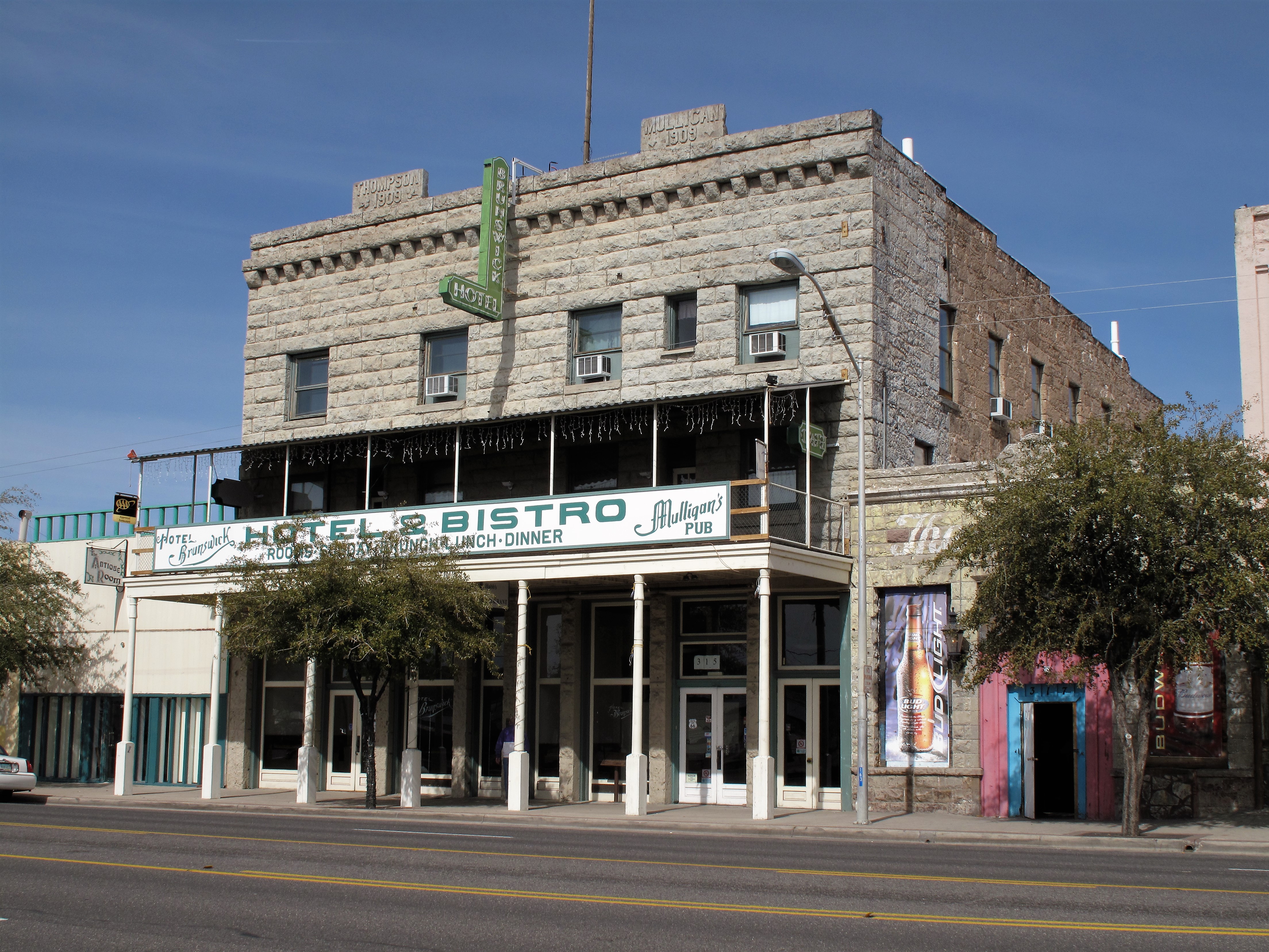
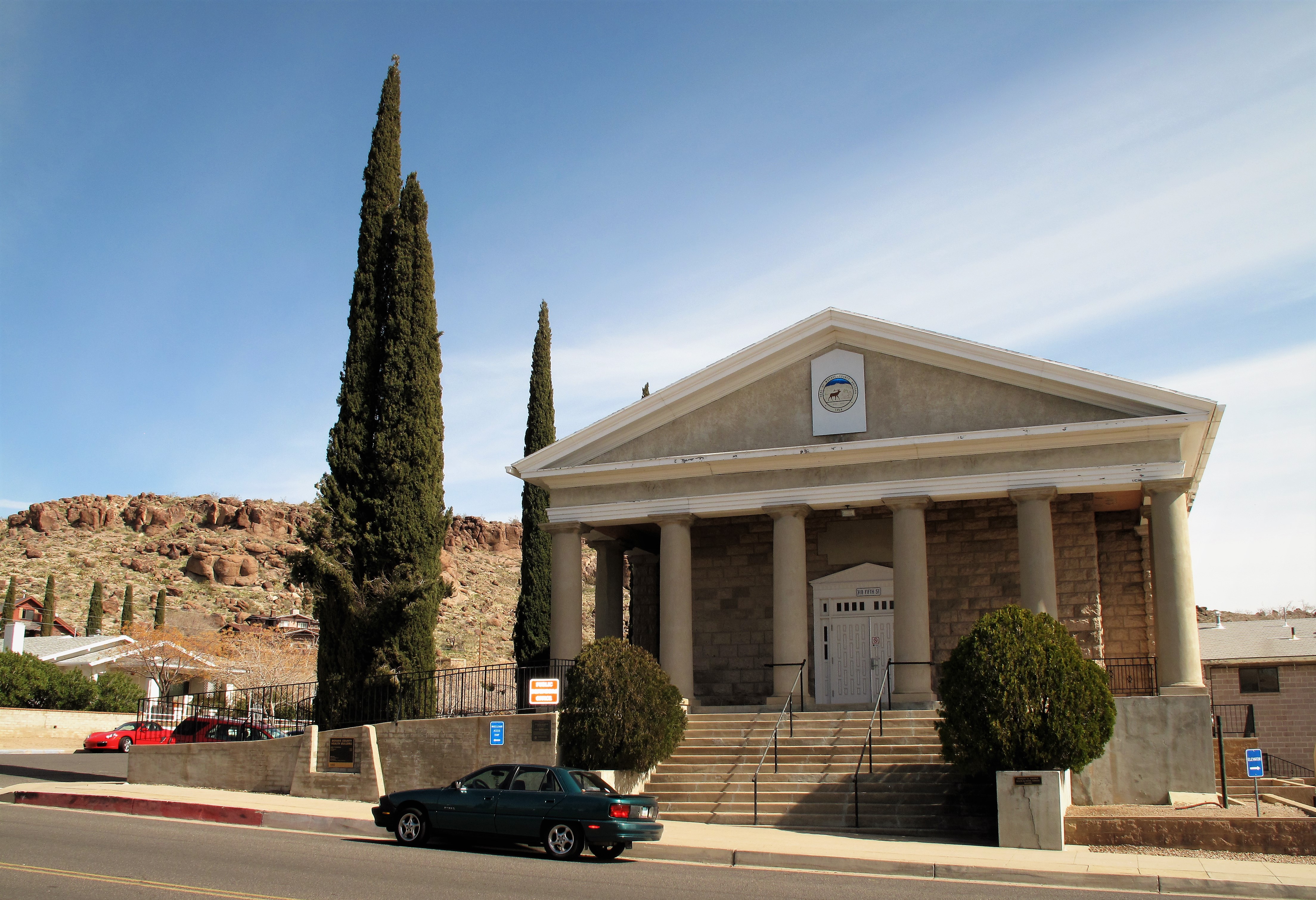
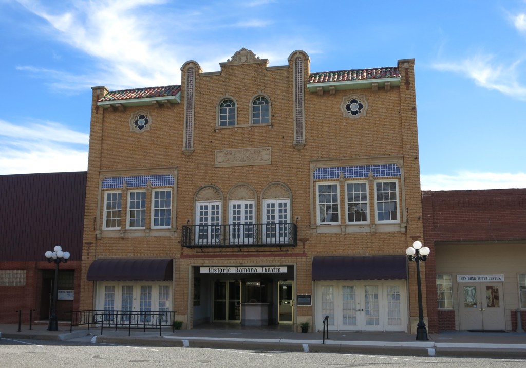
This (one may argue) represents a Victory over Licentiousness (although it may be more of a victory over Man than over the Wilderness):

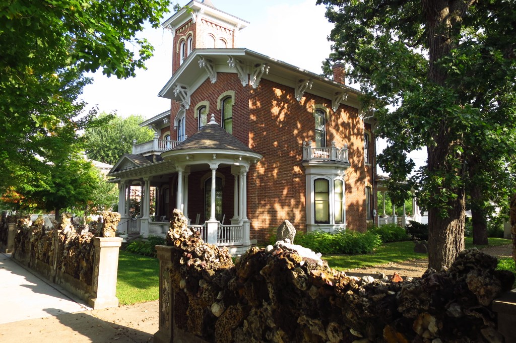
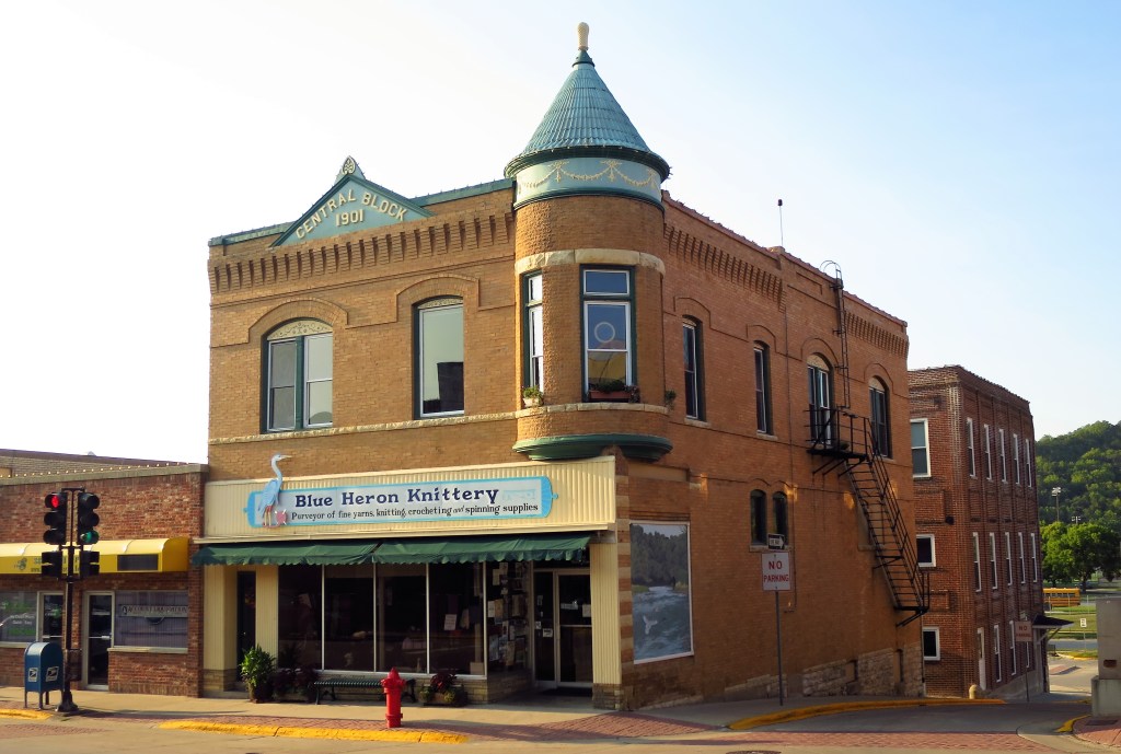
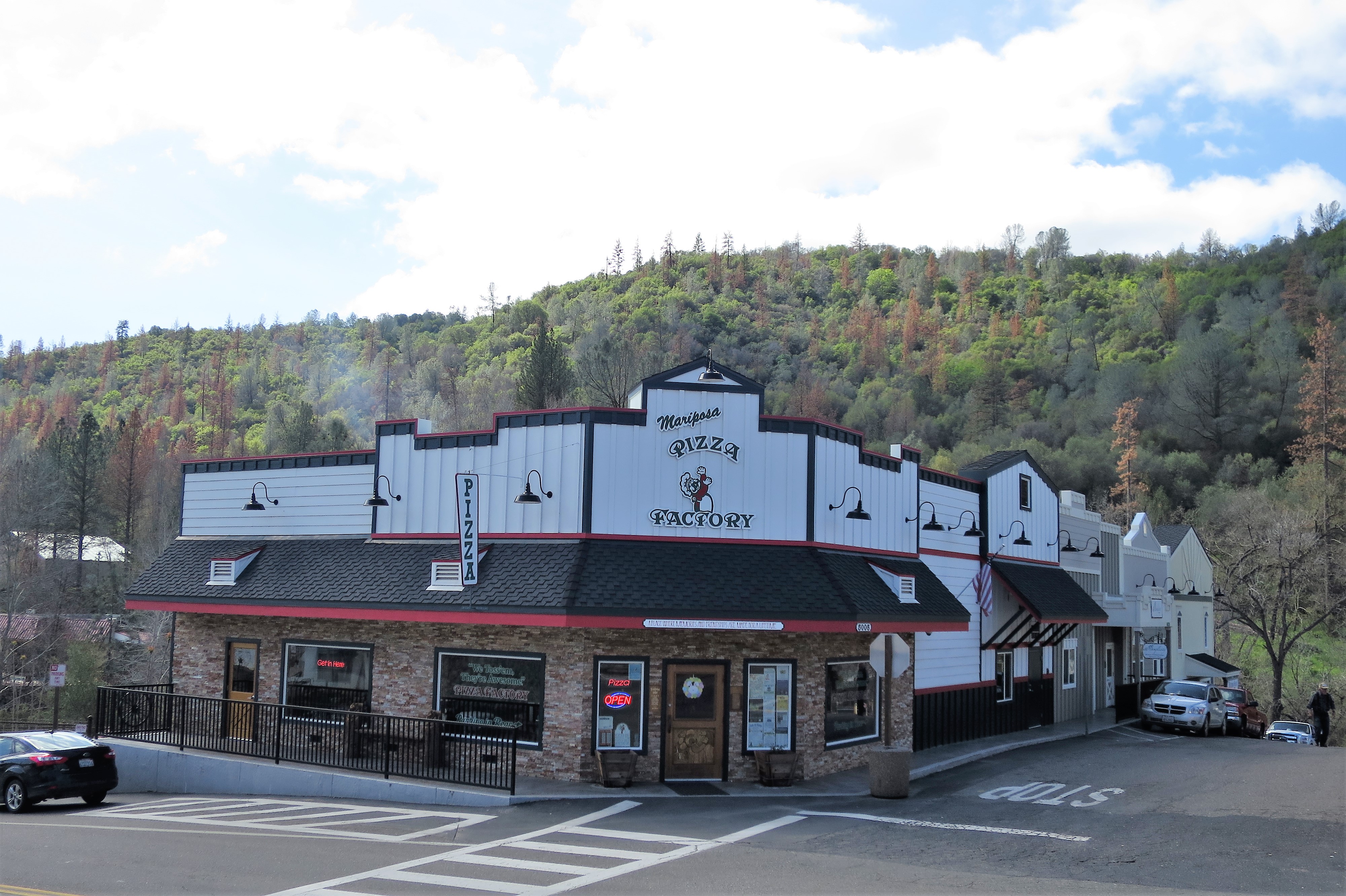
Although Man cannot live on bread alone, he must have bread in the first place. Here is Victory over Hunger:

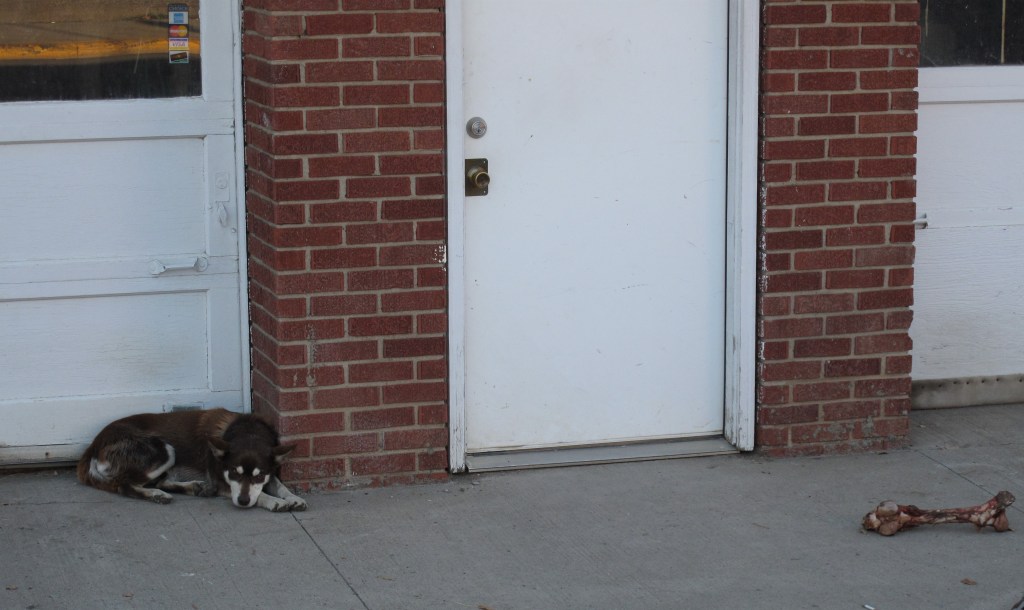
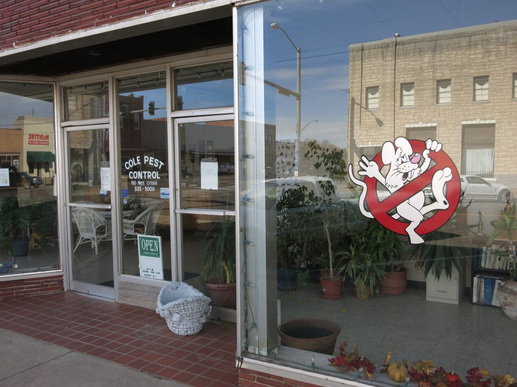
Finally, nothing establishes Victory over Wilderness more than this — VICTORY OVER PESTS!
That’s all from Frederick. Hoping you have a chance to celebrate your own victories over the Wilderness.
All photos by the author. Photos taken November 18, 2013.
A list of all photo posts from the American County Seats series in TimManBlog can be found here.
I’m trying to travel to all of America’s county courthouses, and each month a post about my visit to the most interesting county seats. It’s only a hobby — but donations are greatly appreciated to help defer my costs.
Thanks,
Tim
Make a one-time donation
Make a monthly donation
Make a yearly donation
Choose an amount
Or enter a custom amount
Your contribution is appreciated.
Your contribution is appreciated.
Your contribution is appreciated.
DonateDonate monthlyDonate yearly