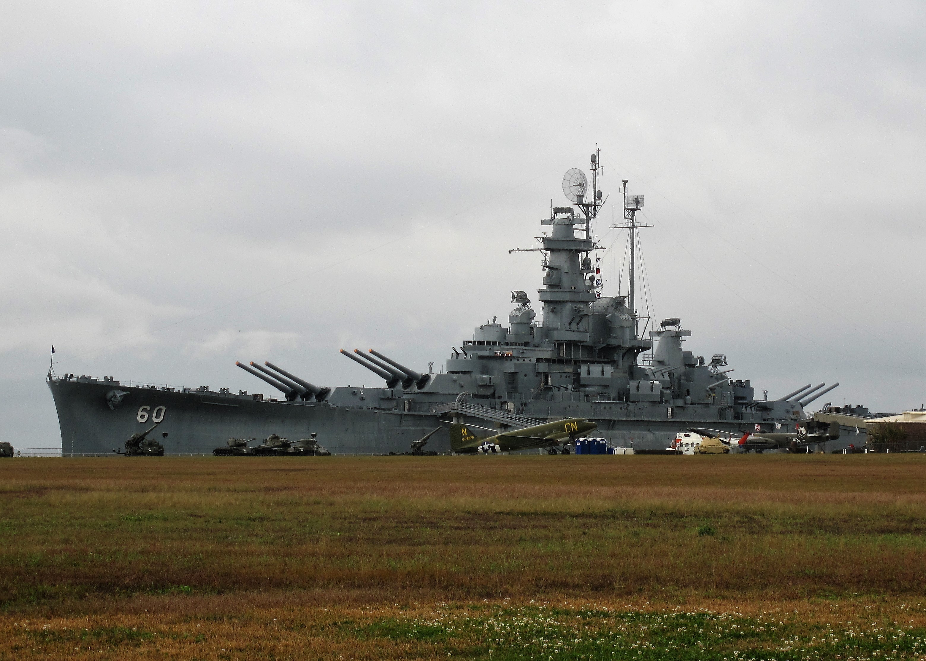
Go West! Along the Loneliest Road to the Gold Rush Country
Freedom Voyages — Life in the United States
June 6, 2021
After finishing an arduous 4-month contract with Microsoft (their Services Division) it was high time for another Freedom Voyage! These “Freedom Voyages” (h/t to Elizabeth Rosas Barber for the moniker) give me the chance to see the country — its landscapes, its small towns, its cities, and its courthouses. Along the way I take and share photos of what I see and what I eat — and whatever I’m thinking.
Back in 2017 — before the Trump economy kicked into gear and got me working again — I traveled US Route 50 from Pueblo, Colorado eastward as far as my free time would take me — Cincinnati, Ohio. For this trip, I’m taking US 50 westward all the way from Pueblo to the end of the route in Sacramento, California.
Want to live out a Freedom Voyage vicariously? Here’s a photo log of the eight days I spent on the road, starting in Colorado Springs, Colorado where I live, and traveling through Utah, Nevada, California, and back.
I enjoyed May sunshine on seven of those eight days. Nothing better than sunshine on a trip! Enjoy!
Saturday, May 8, 2021. Day 1: Colorado Springs to Grand Junction, Colorado
It’s Saturday. After doing the usual Saturday morning things I packed the car, connected the I-phone tunes, opened the moonroof, and drove south toward Pueblo where I picked up on Route 50 where I left off a few years ago. This time I’ll go West. Road Trip!
From Pueblo, Colorado, US 50 heads directly west through the town of Canon City and then into Bighorn Sheep Canyon.
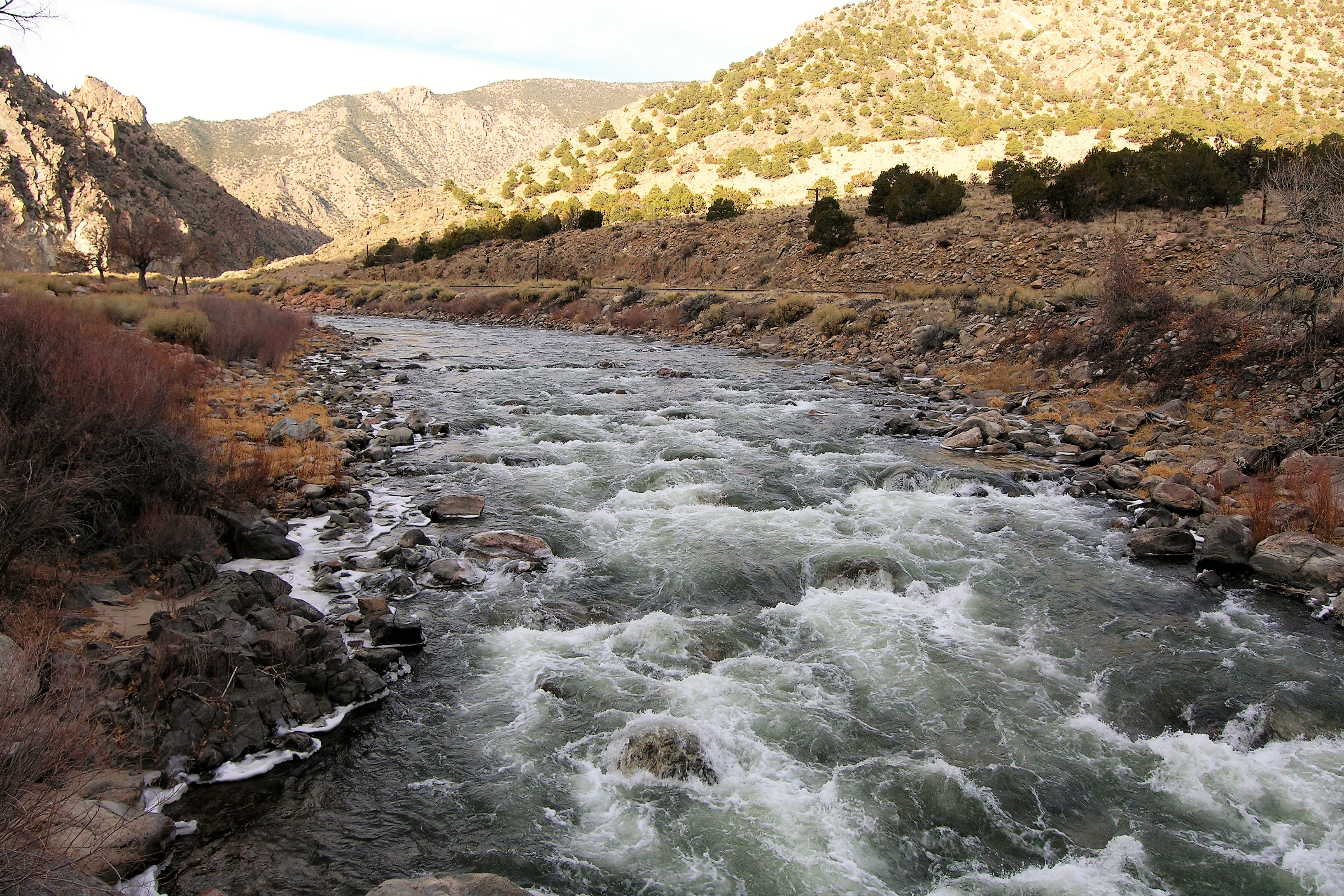
That’s the Arkansas River coming down from its source near Leadville, Colorado. Notice the train tracks on the opposite side. My father told me that he crossed the country twice on troop trains during World War II; he probably rode on those very tracks.
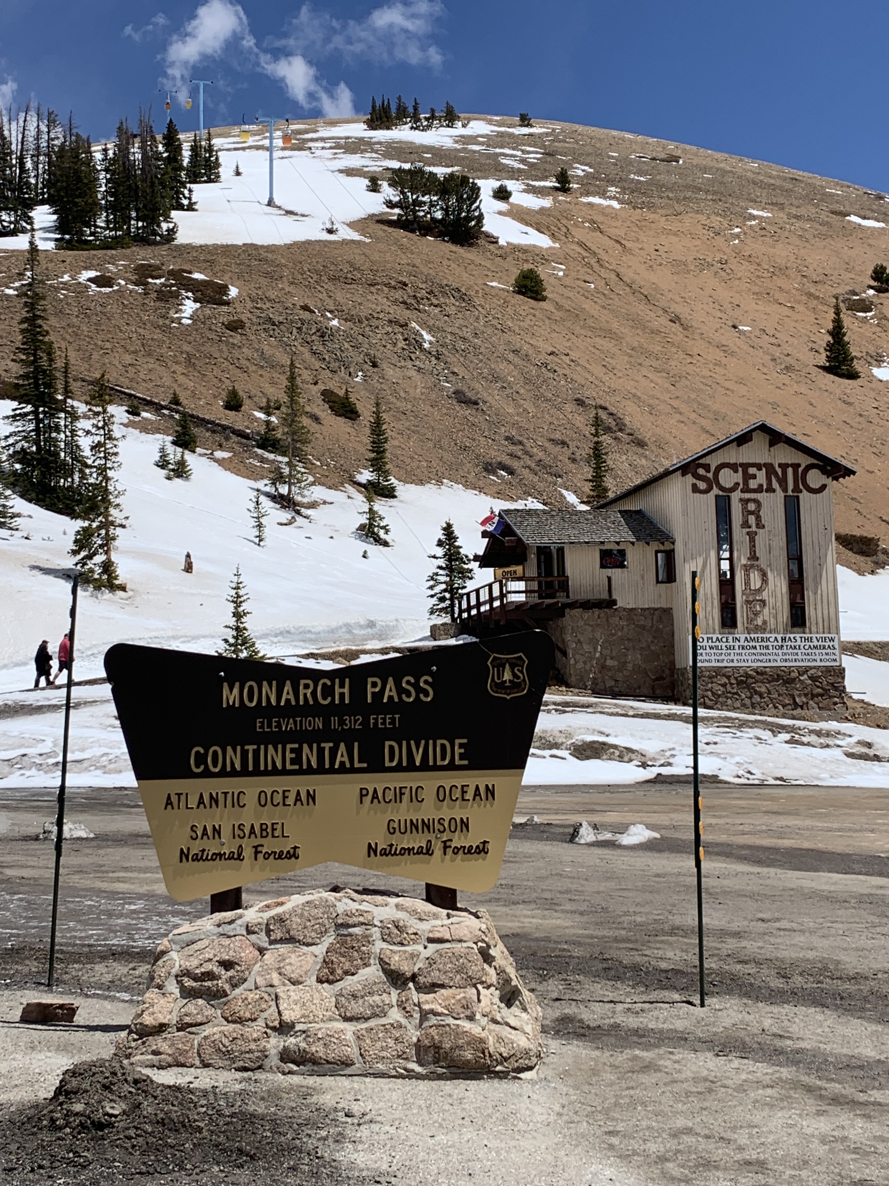
Past Salida, Colorado, US 50 climbs up toward the continental divide at Monarch Pass, elevation 11,312 feet.
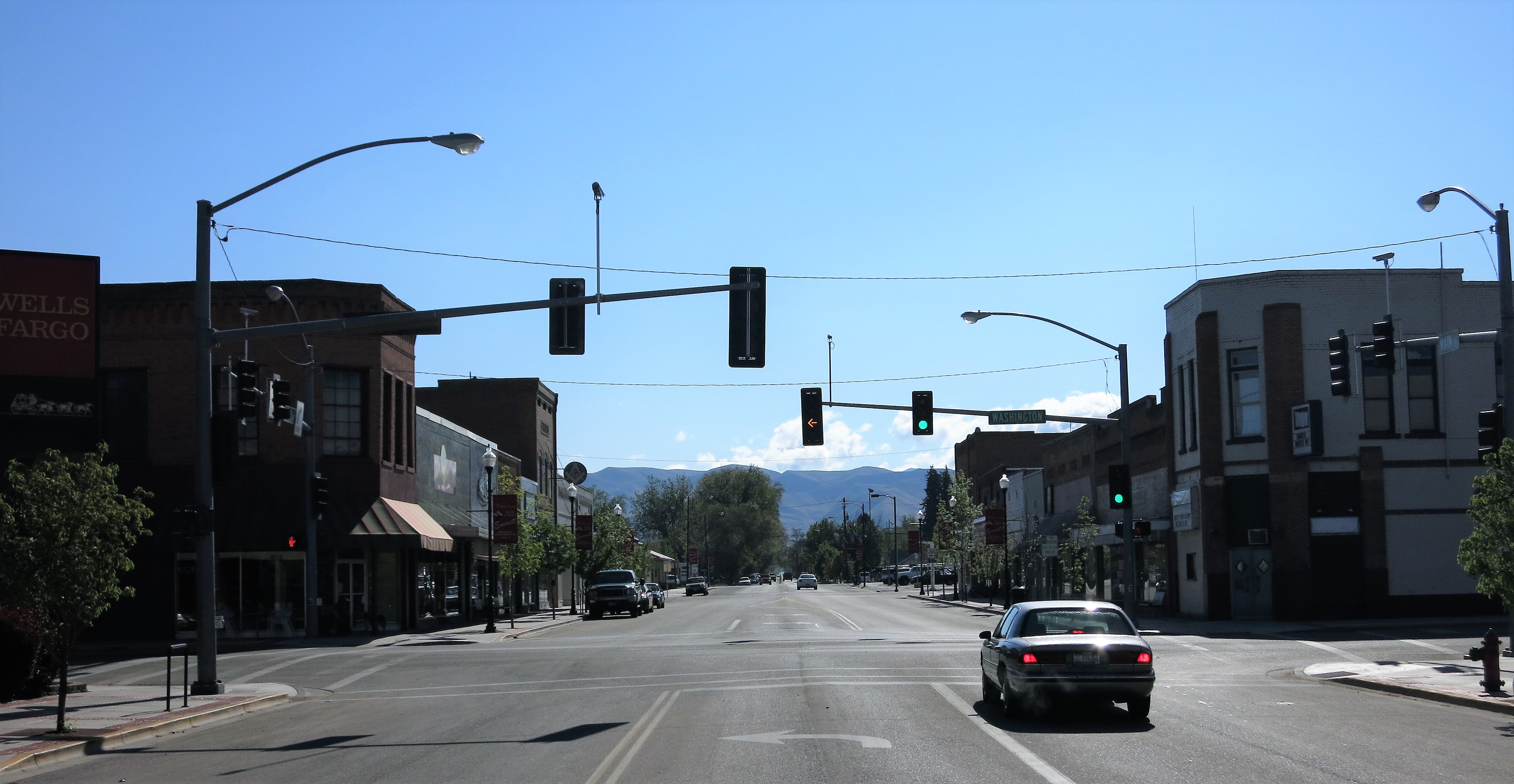
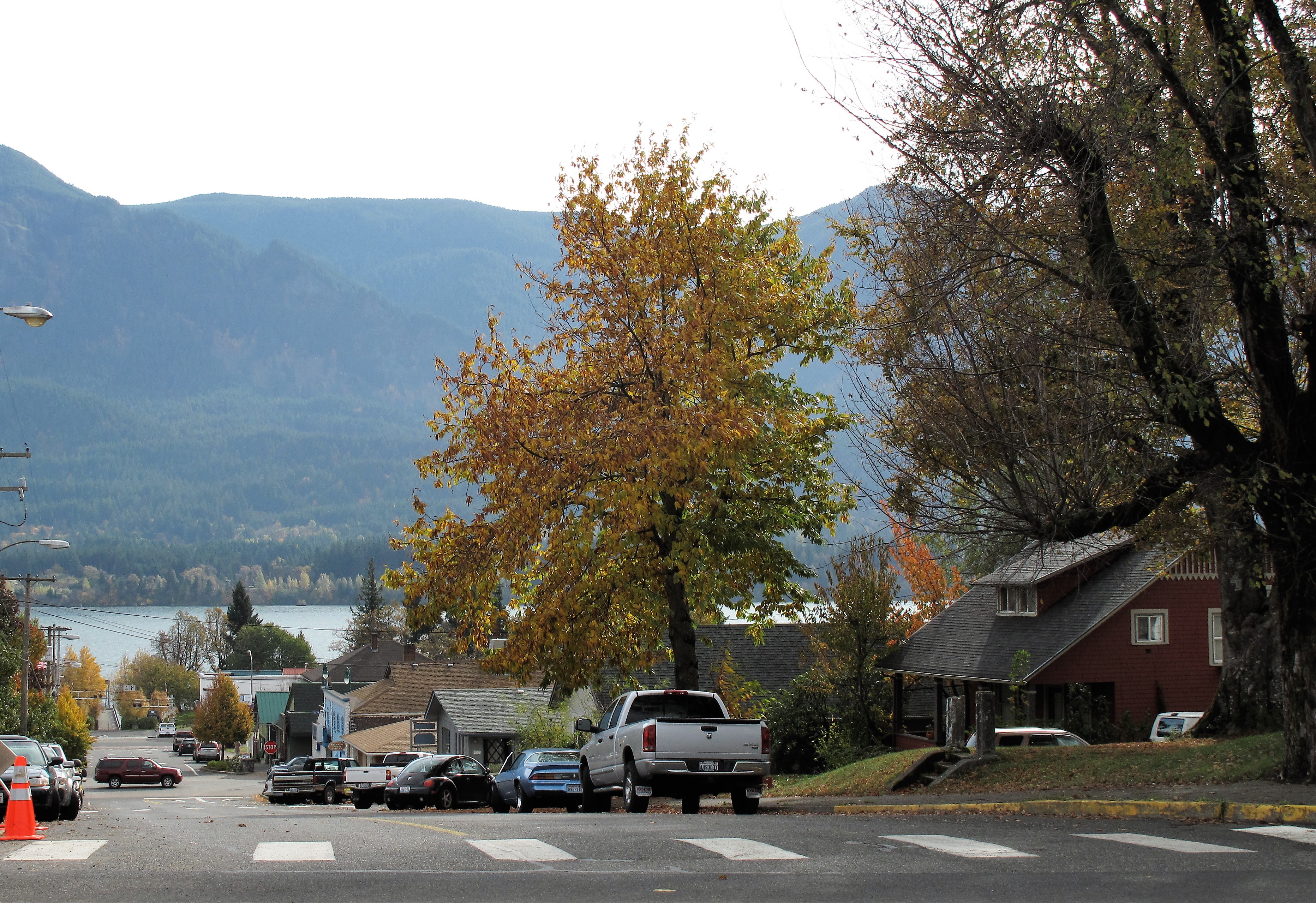
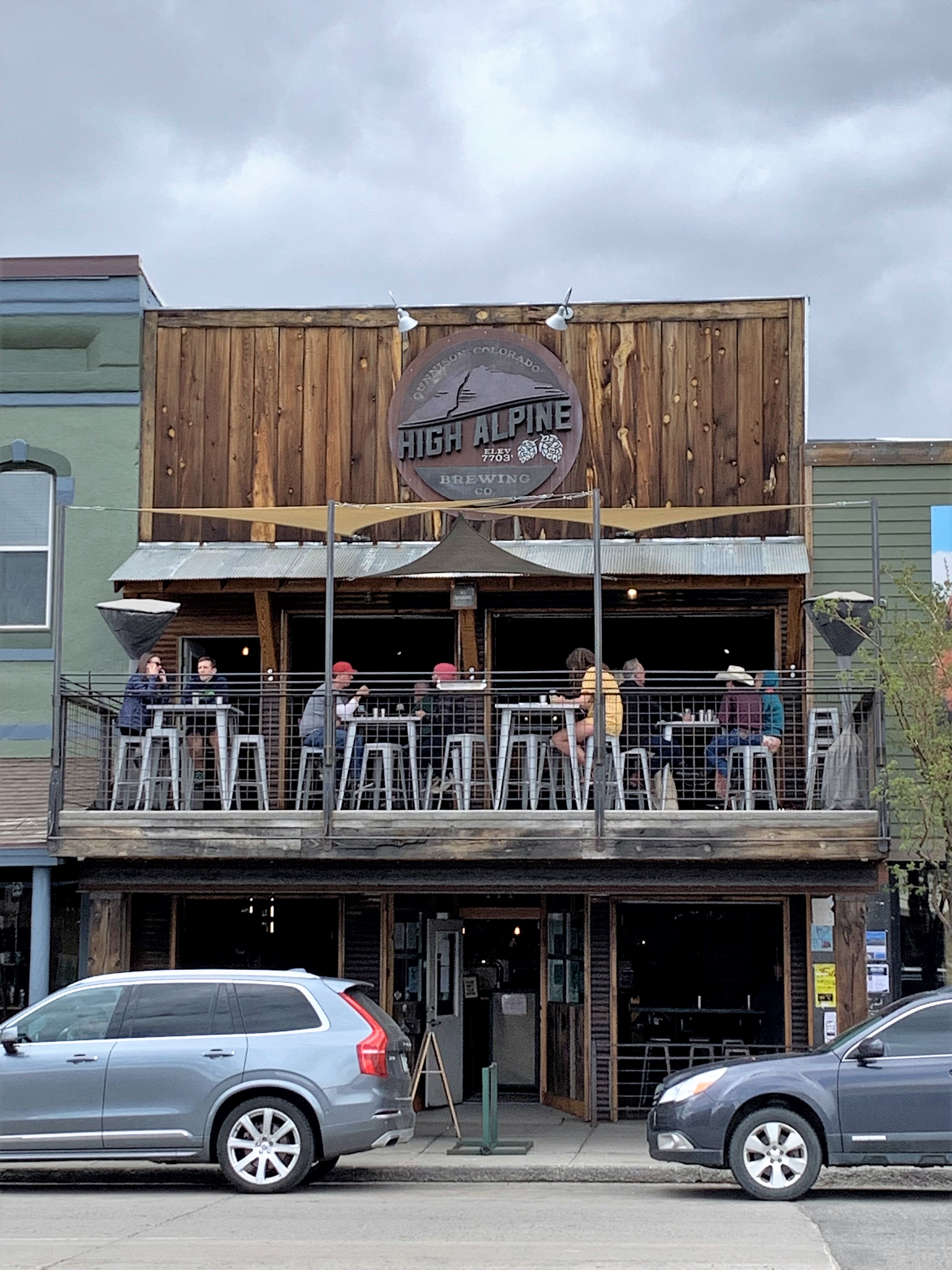
Now on the western slope of the Rockies, the first sizeable town you reach is Gunnison, Colorado. Main Street has a few popular drinking establishments to quench the thirst of skiers and hikers. Notice the clouds looming — a storm front passed by a few minutes afterward — a lot of wind but hardly any raindrops.
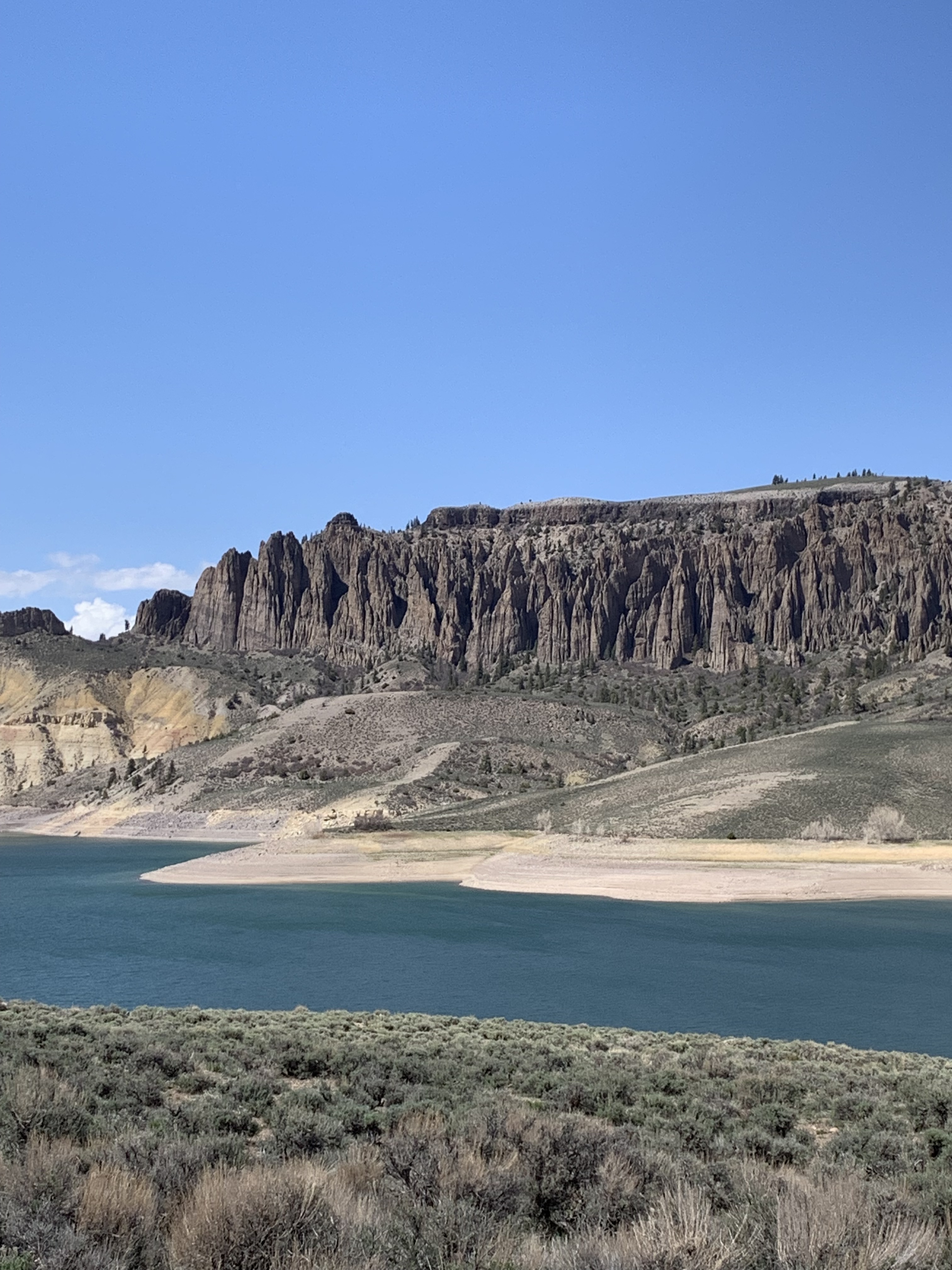
Beyond Gunnison, US 50 follows the course of the Gunnison River and its tributaries. Along the way I took this photo, part of the Curecanti National Recreation Area:
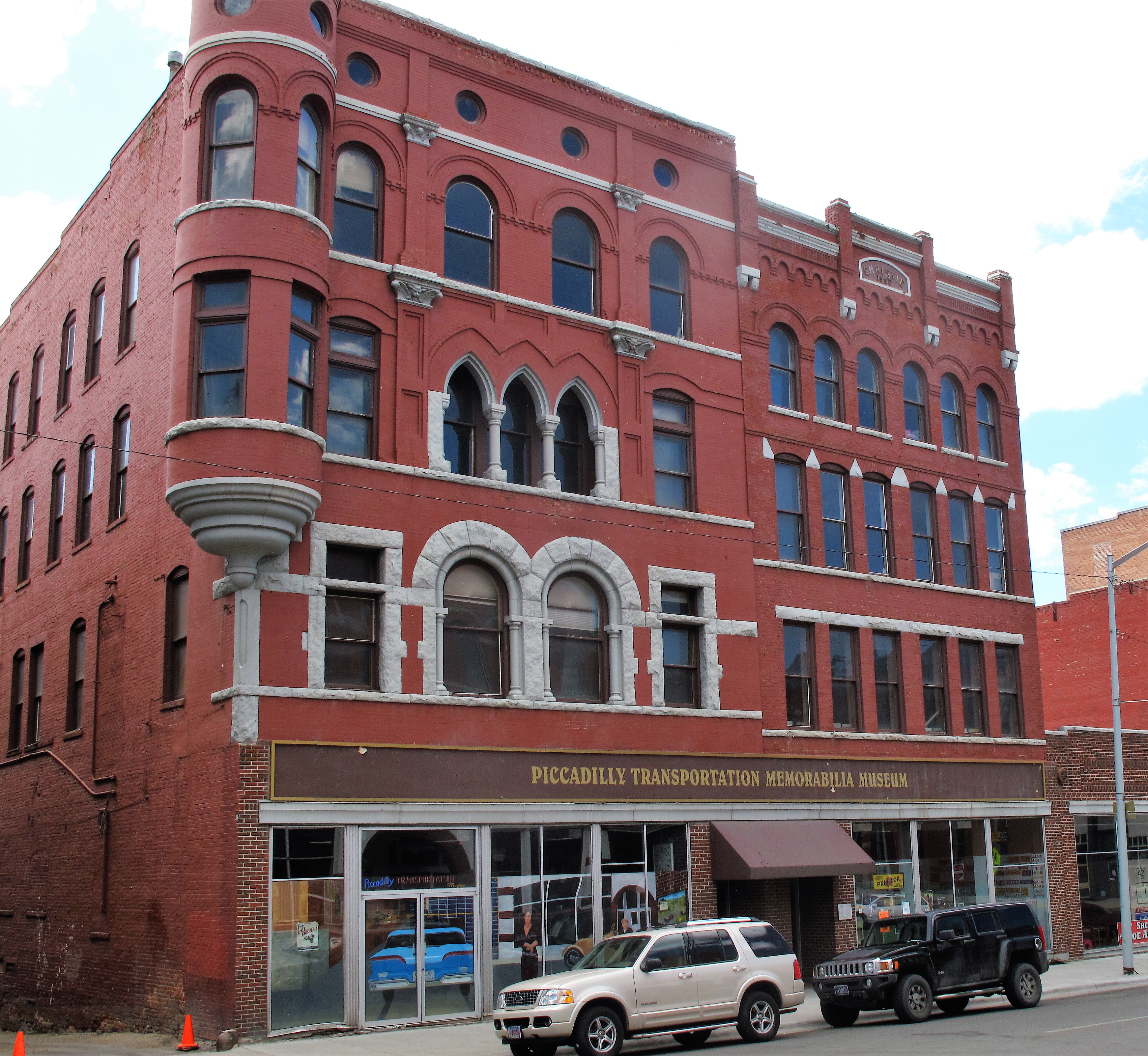
From there US 50 winds down the western slope along the Gunnison River, through the Colorado agricultural towns of Montrose and Delta until it reaches the Colorado River at Grand Junction, Colorado. Grand Junction was so named for the junction of the Grand River with the Gunnison River, but later the Grand River was renamed the Colorado River (as we know it today), yet they didn’t rename the town “Colorado Junction.”
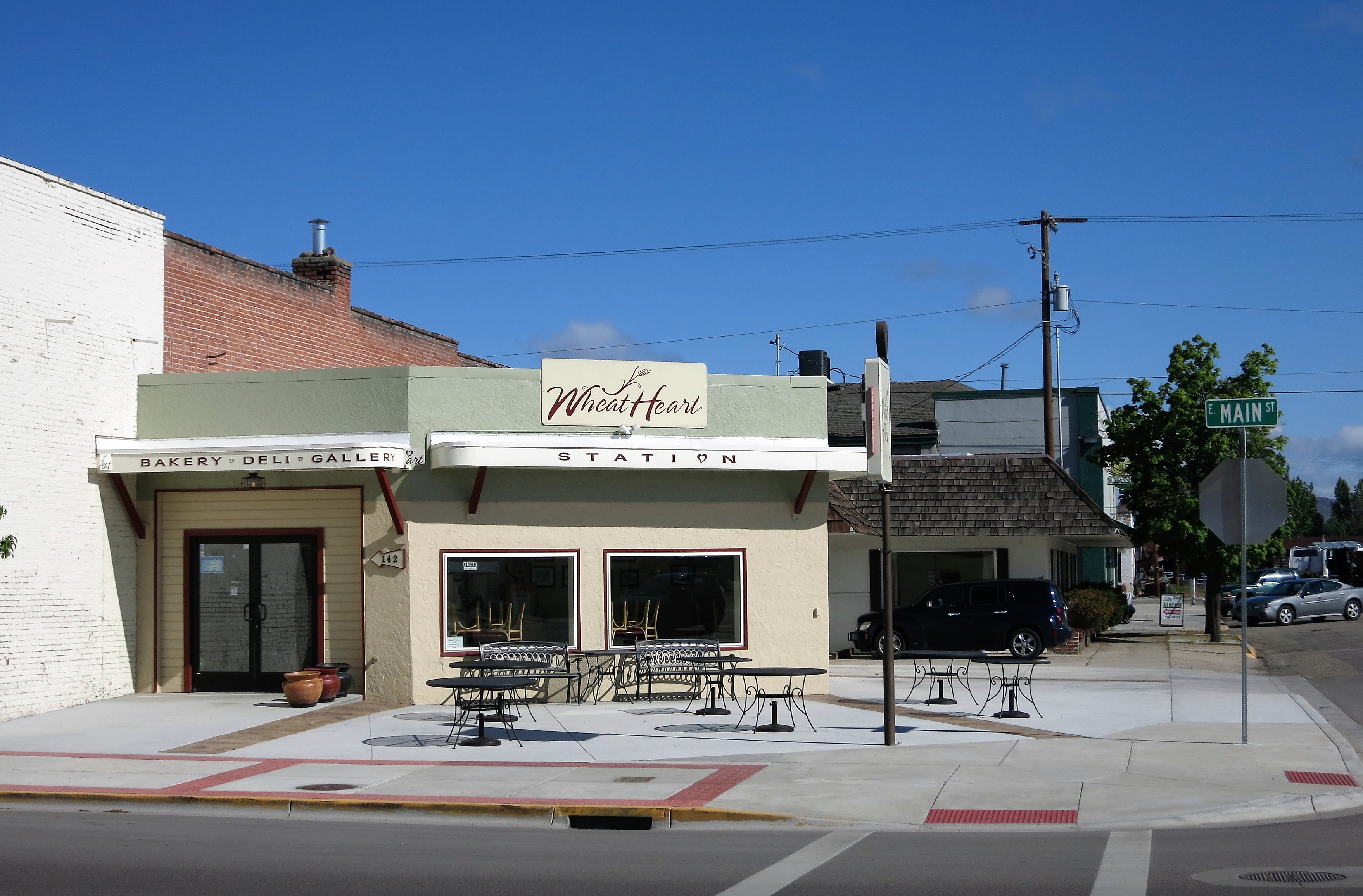
“GJ” as it’s sometimes called is a convenient place to eat and lodge for the night.
I had dinner at a British pub in Grand Junction, Colorado called The Goat and Clover Tavern. The tavern walls were decorated with a variety of British things including pictures of The Beatles, kilts under glass, and Guinness beer posters. Although this seems all very ‘British’ to us Yanks, the scene would make no sense to an actual resident of any part of the British Isles since English, Scottish, and Irish pubs are each distinct places over there; the ethnicities are not mixed when it comes to pub life.
That night I saved some money and stayed at a Red Roof Inn. The Red Roof chain has been buying up old roadside motels and refurbishing them with new beds and clean wood-tile floors. It’s a good choice for a budget stay.
Links:
The Goat and Clover Tavern. Grand Junction, Colorado
Sunday, May 9, 2021. Day 2: Grand Junction to Ely, Nevada
Sunday morning means church first, then travel, and so I patronized St. Joseph’s Catholic Church in Grand Junction. Masks are somewhat optional. Coffee afterward.
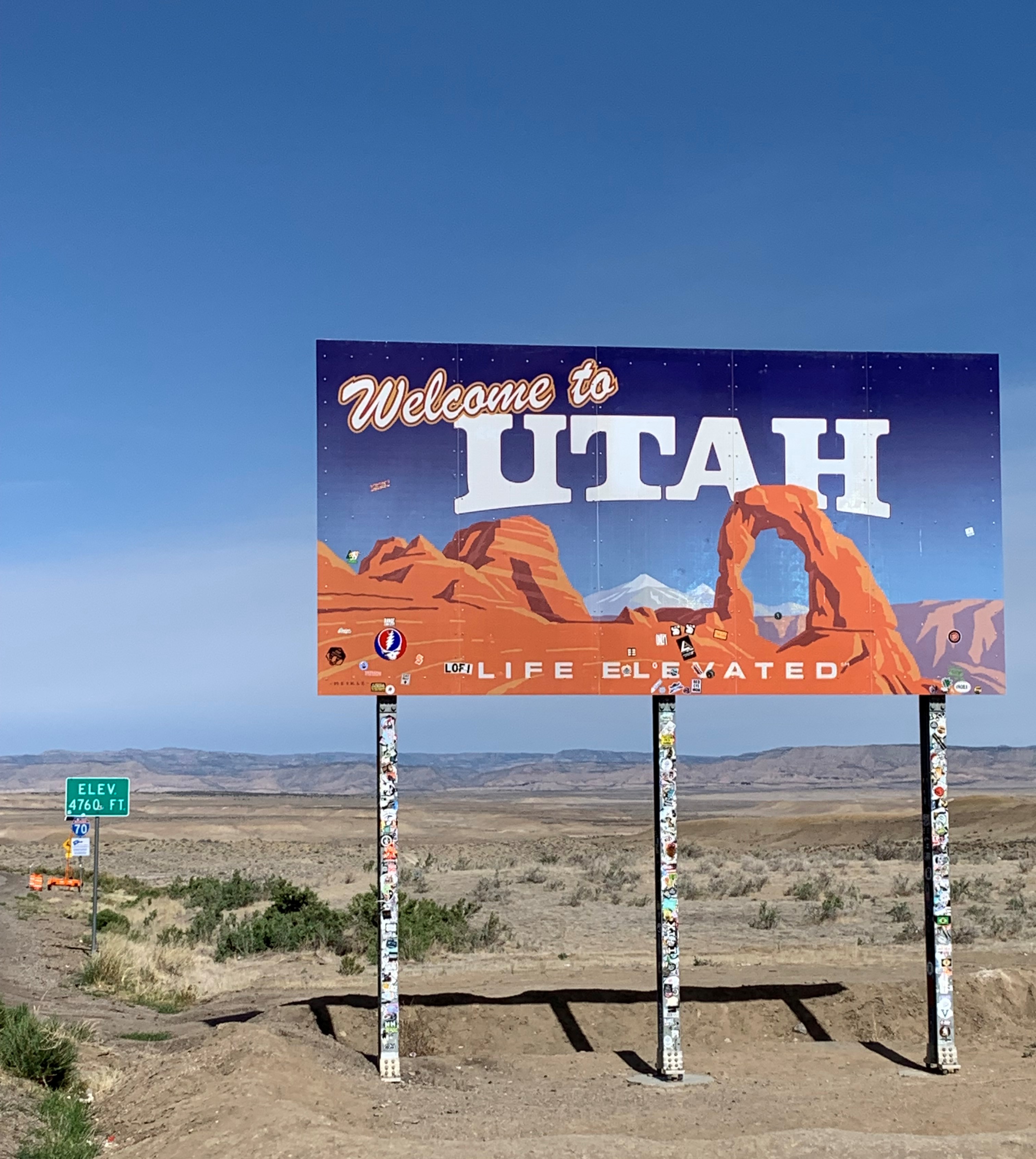
Next stop along US 50: Utah!
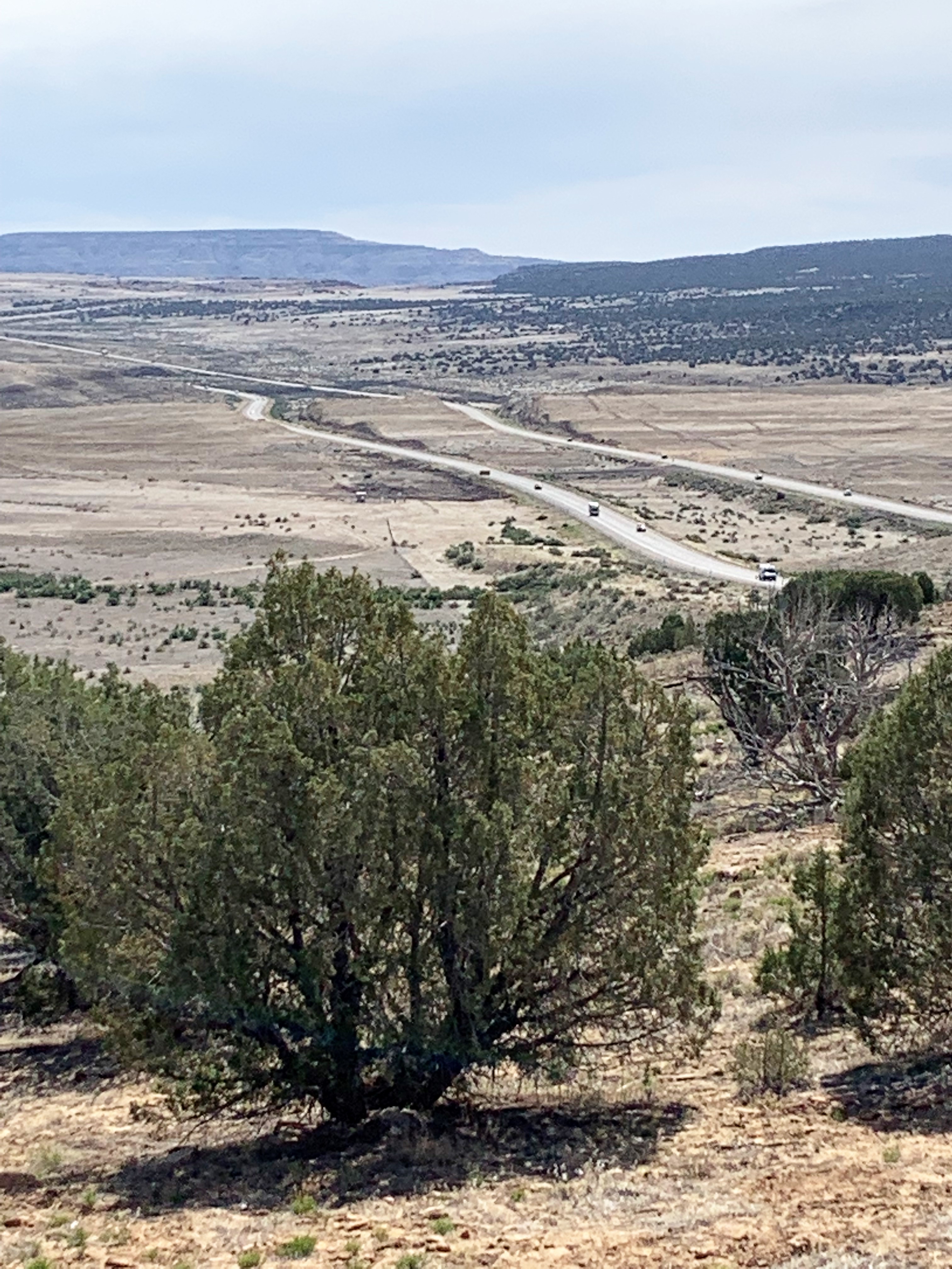
Interstate 70 in eastern Utah is a lonely stretch from the Colorado line to the town of Green River (where the road crosses the Green River). Beyond Green River, the highway cuts through the San Rafael Swell, a 70 by 40-mile geologic upheaval which has been cut, shaped, and formed over thousands of years into a crazy assembly of sandstone buttresses, canyons, and plateaus.
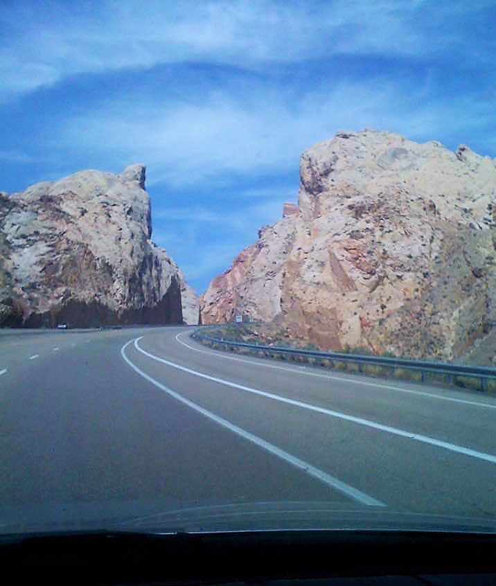
(Apologies for the old photo from my archives. It’s an i-phone photo taken from behind the wheel some many, many i-phones ago.)
There are no services along this desert stretch of Interstate 70 for 50 to 100 miles or so. Finally, upon reaching the welcoming town of Salina, Utah, I was able to find Mom’s Cafe at the corner of Main Street for some lunch and refreshment. I’m pretty sure that Mom’s is family-owned and family-operated since I saw what looked like a mom, a dad, and teenage sons and daughters taking orders and serving food.
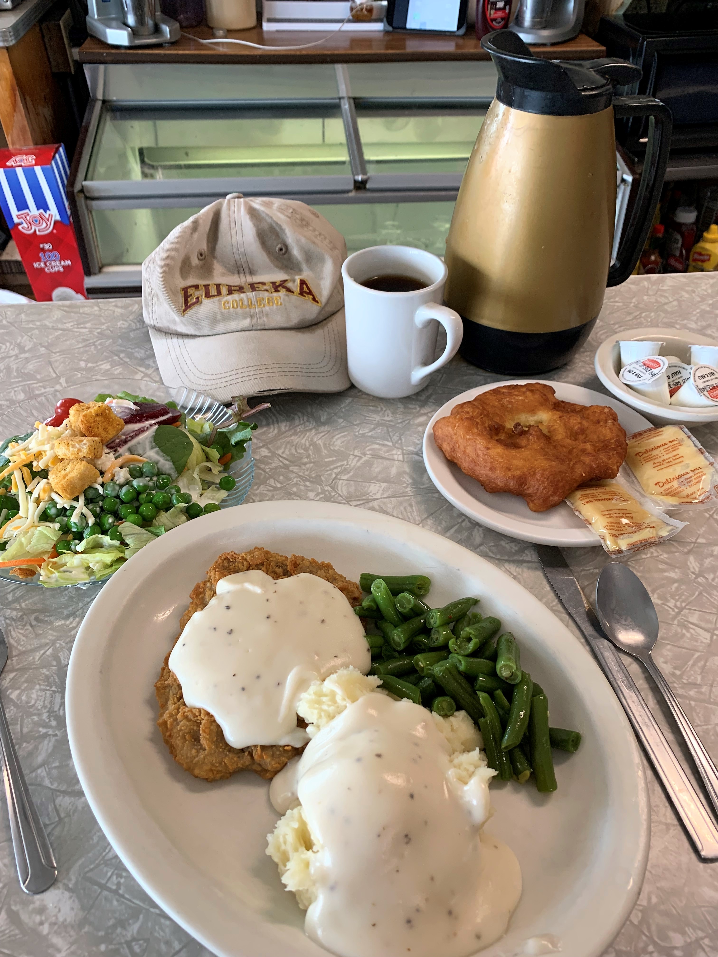
The pastry-like thing on the right — it comes as part of the $12.99 lunch but I don’t know what it’s called — is some sort of fried bread, and when covered with honey butter (the 2 brown packets next to it) is simply delicious!
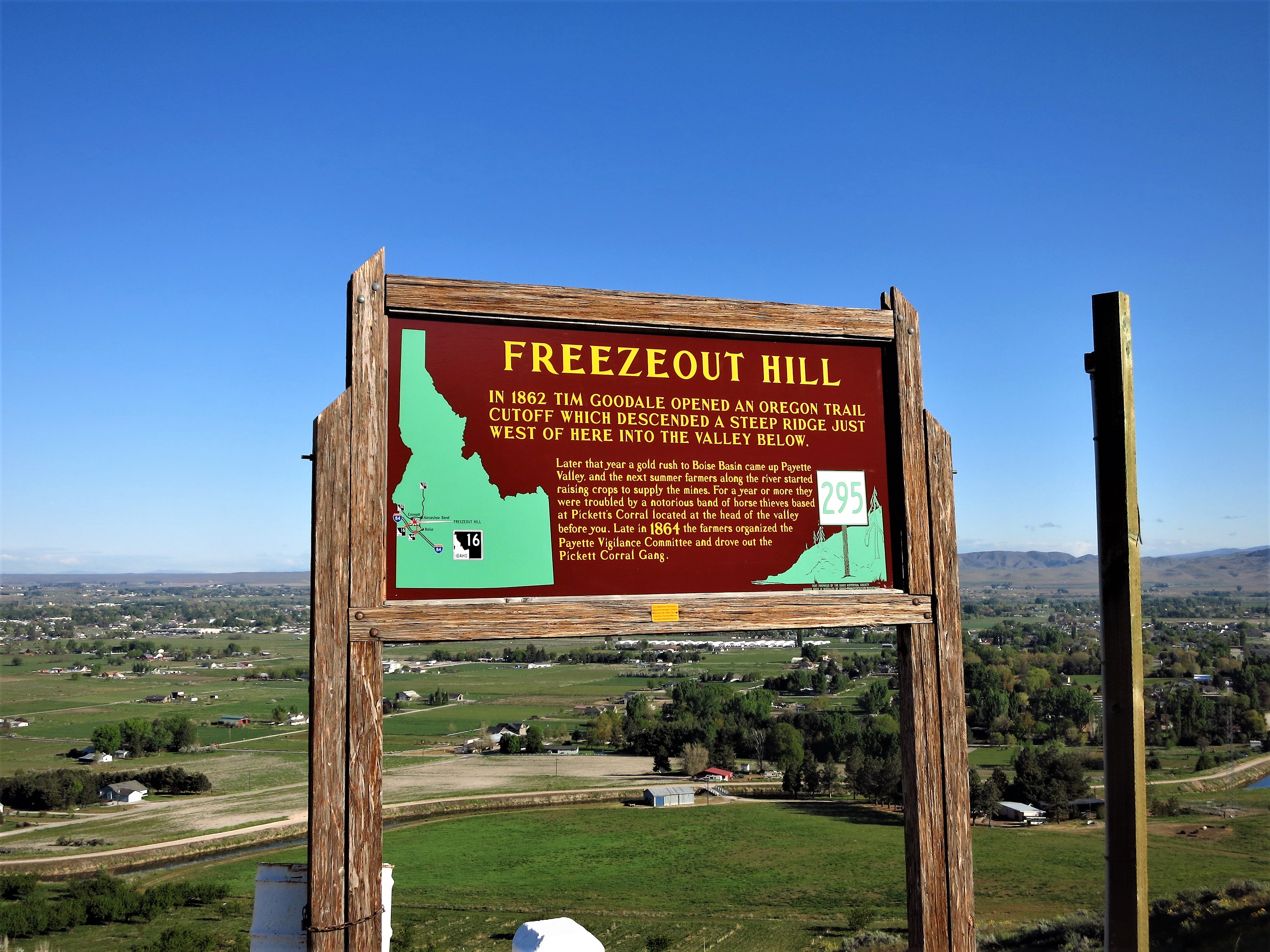
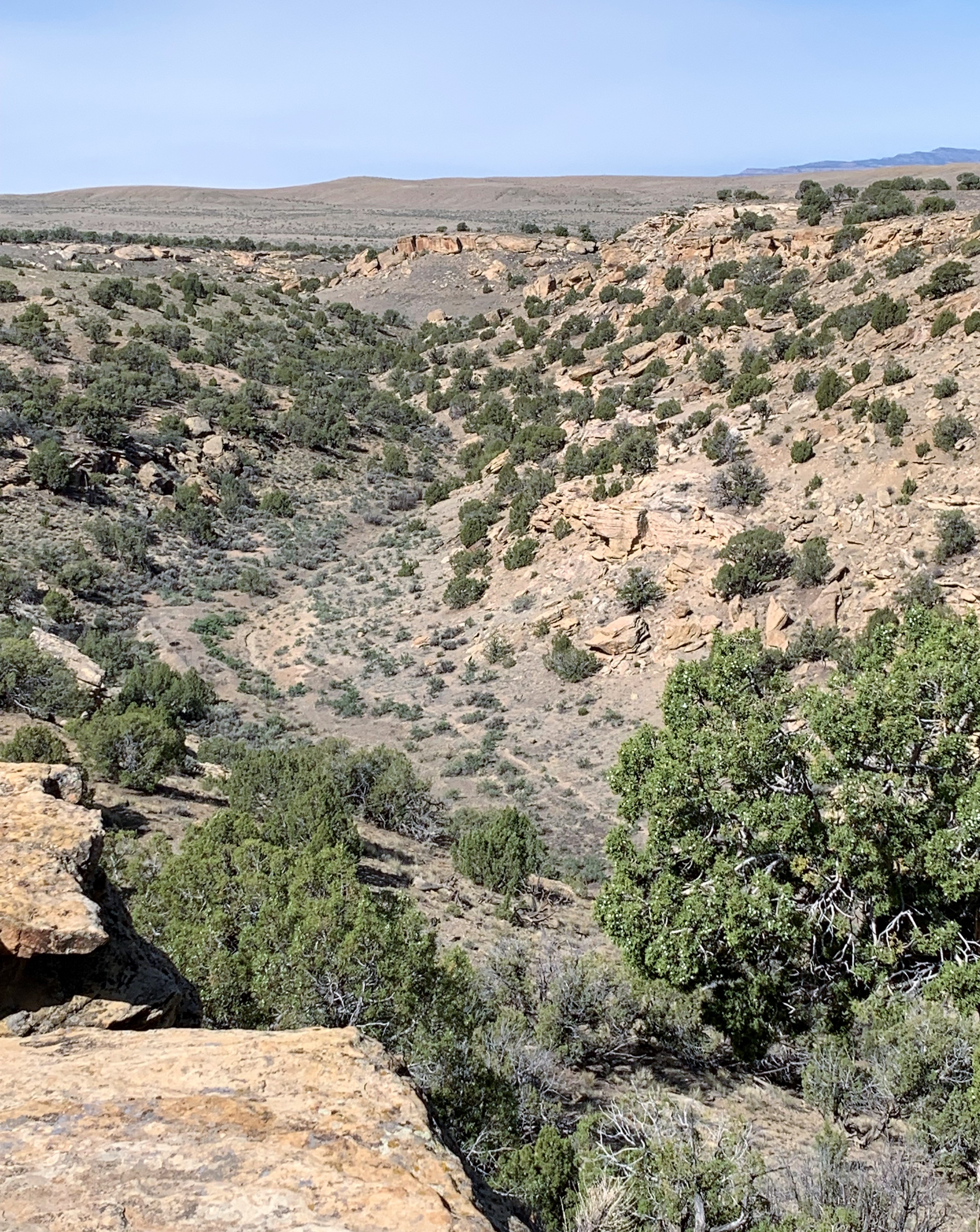
US 50 breaks off from Interstate 70 in Salina, and weaves its way through some mountainous terrain, eventually crossing the north-south Interstate 15. West of I-15, US 50 crosses miles and miles of stark sagebrush desert with the only neighbors being various US military installations off in the distance.

My Rand McNally road map said that there was some military experimental firing range out there in the distance. I stopped on the highway (no cars for miles either way) and snapped the photo. Then I posted it to Facebook — why do I have cell phone connectivity way out here in the desert? That’s strange. Richard Thiele conjectured in a comment: “That oval-shaped, big, high cloud is hiding ‘the mother ship’ and you will soon see smaller flying disks streak out of that cloud.” I never saw any spaceships; they were probably there, just invisible.
50 miles later…
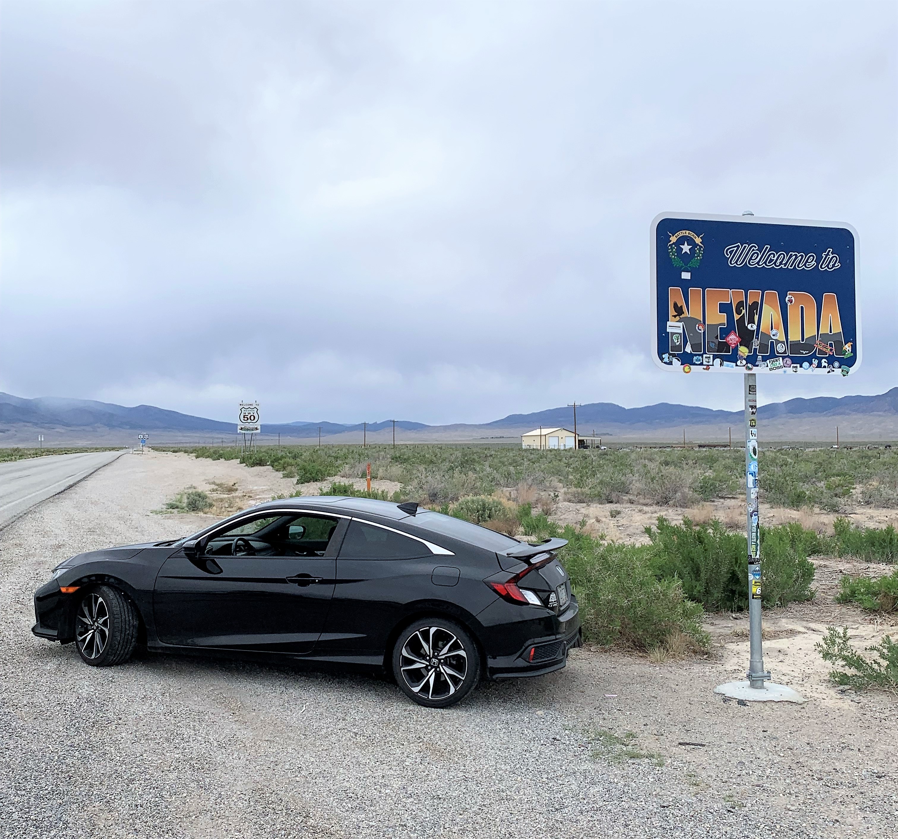
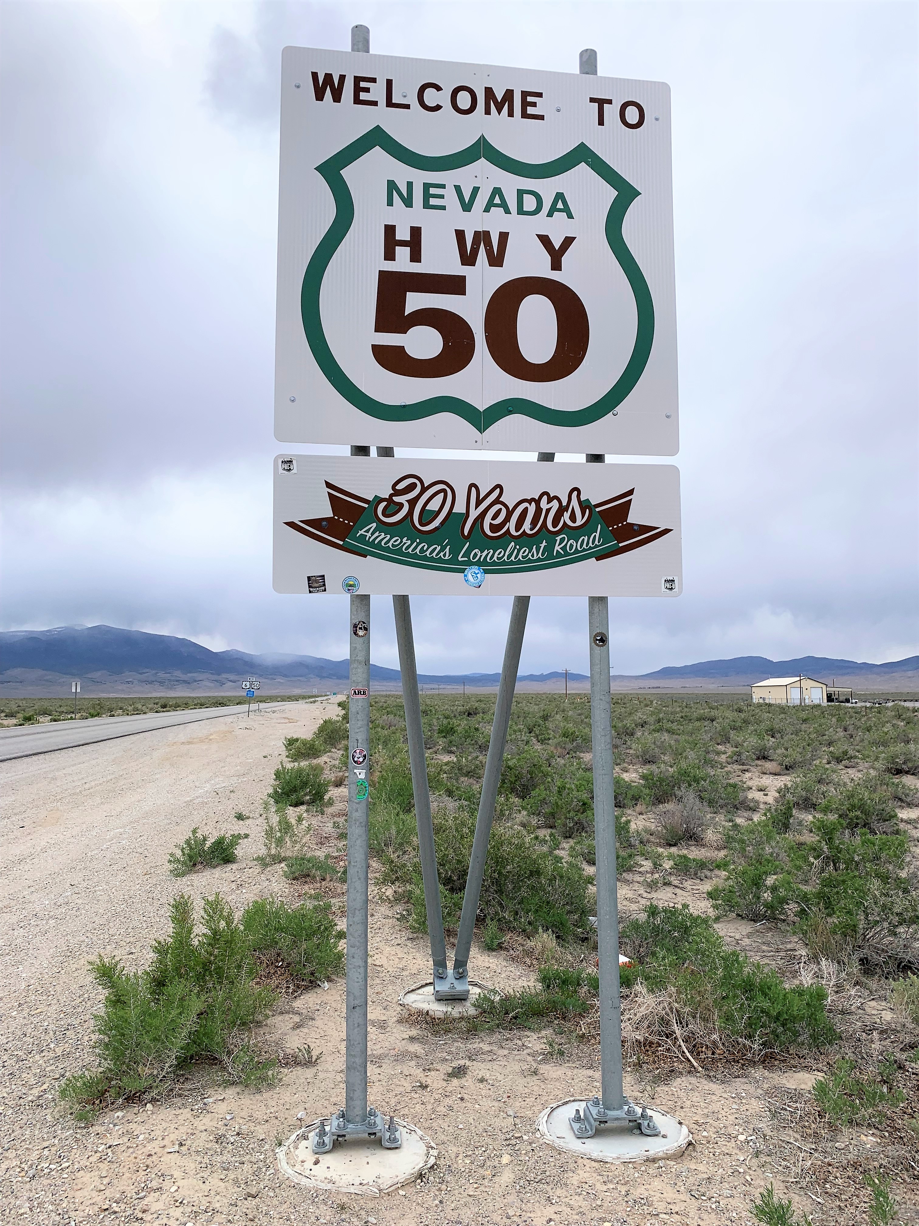
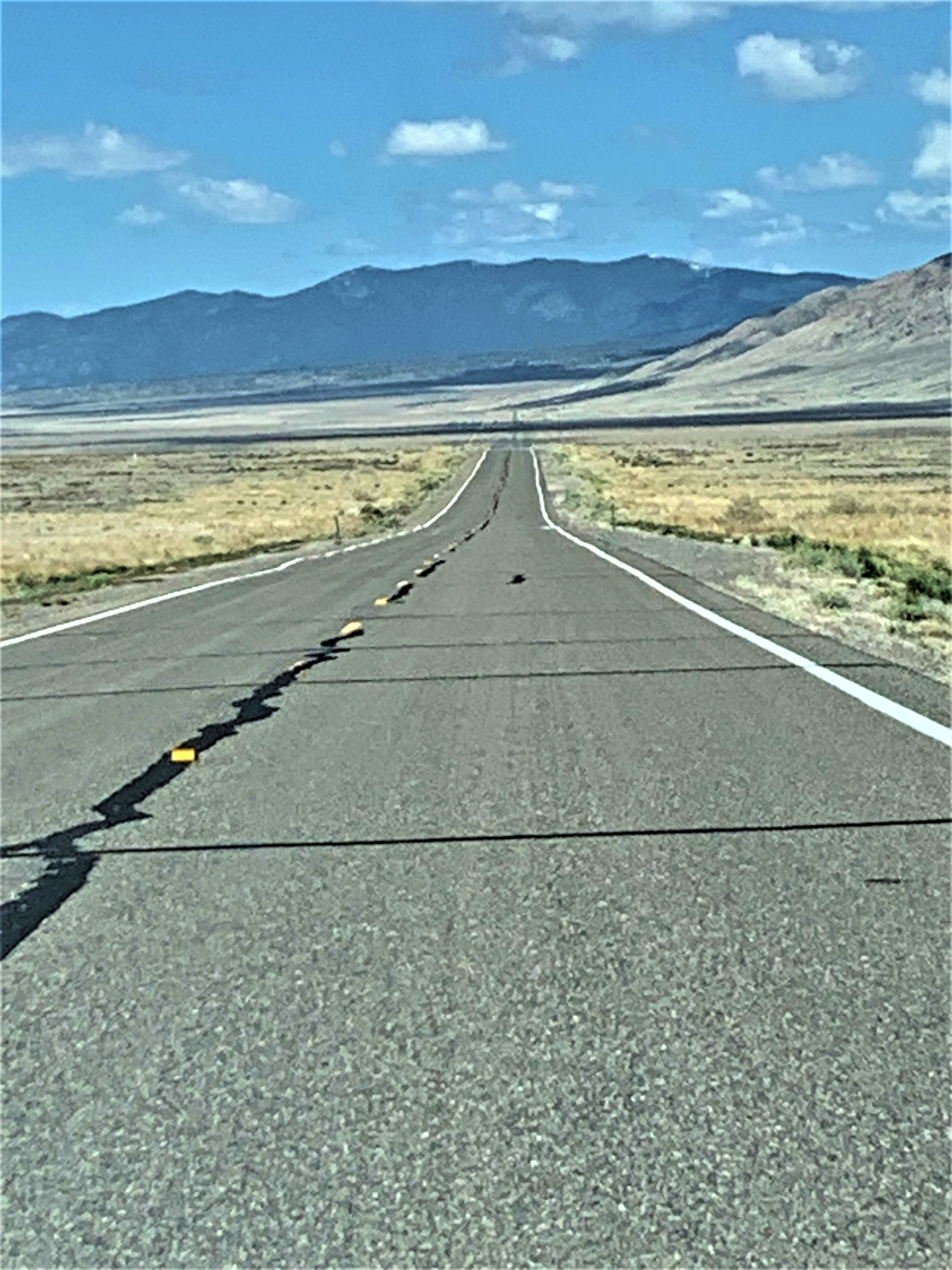
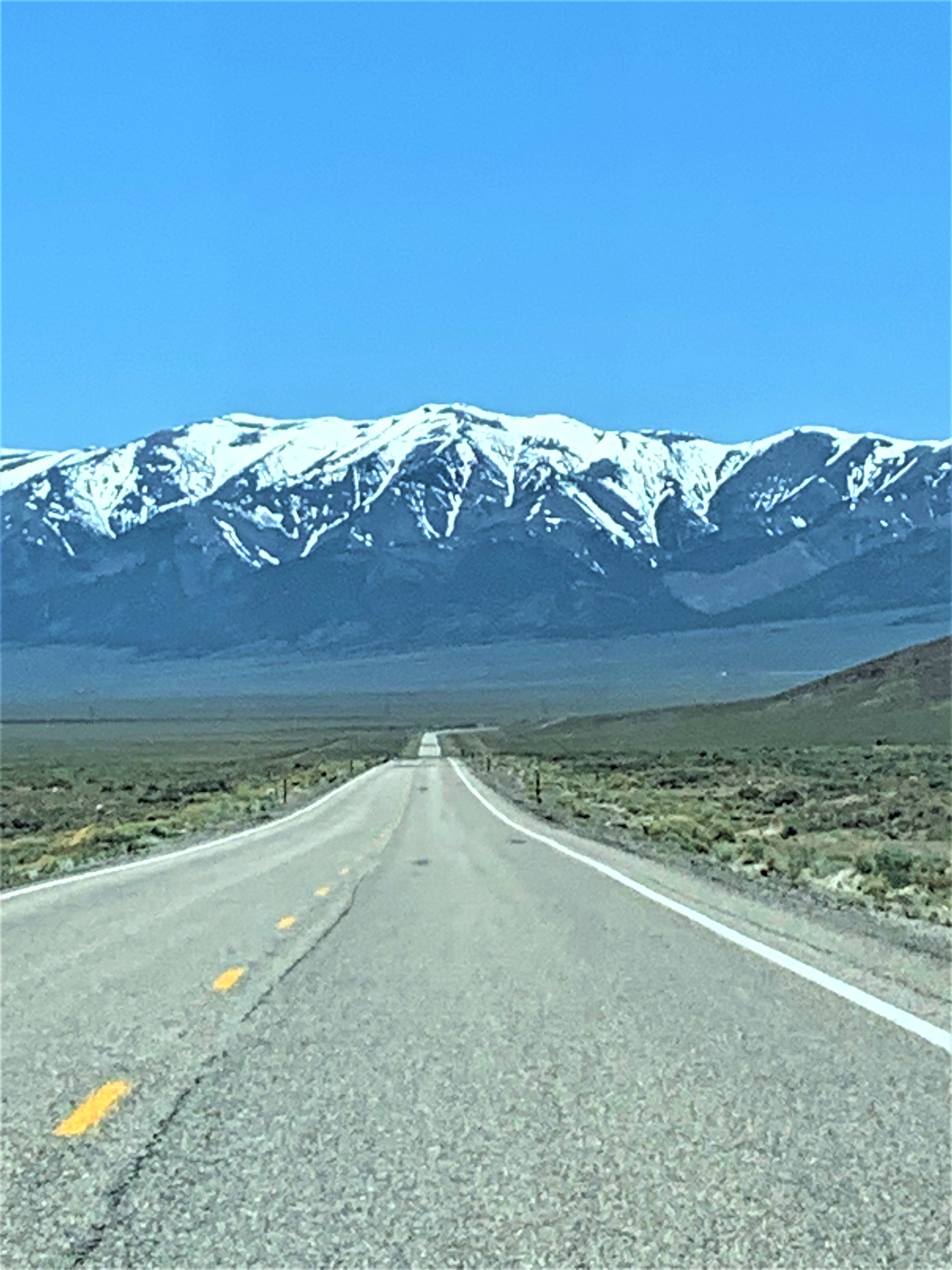
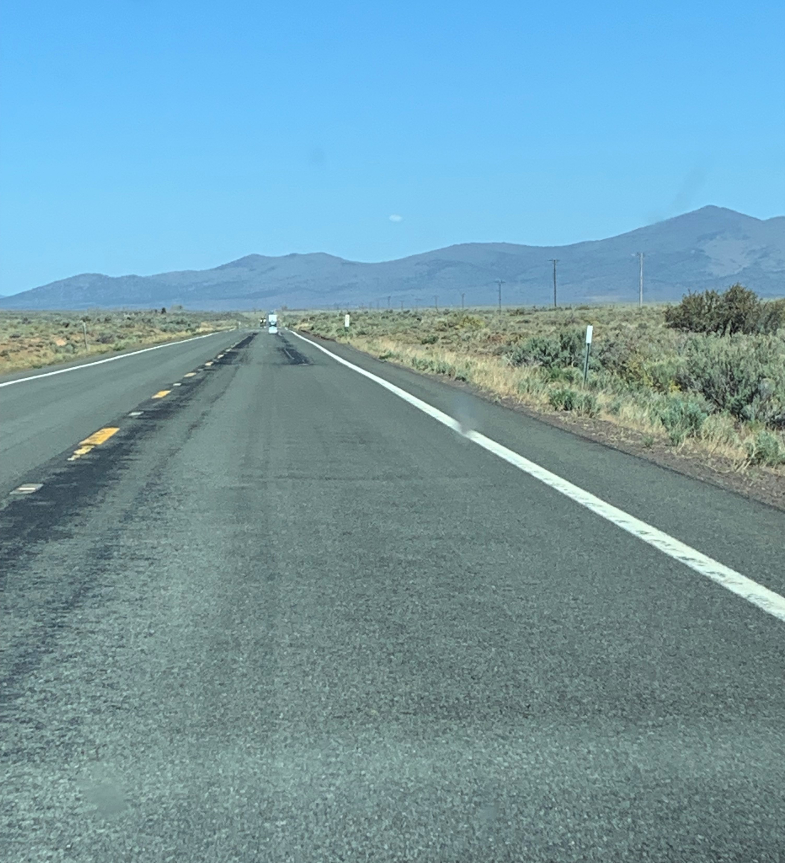
This is Nevada’s portion of US 50, America’s Loneliest Road: a long, lonely two-lane highway with little traffic, sagebrush desert on either side interspersed with a few abandoned mining camps, weaving through tree-less hills and rocky mountainsides for a few hundred miles. I traveled during daylight hours — I imagine the UFOs all come out at night.
The Loneliest Road in America has become a notable tourist draw. They have a good website here, and a time-appropriate motto: “Social Distancing Since 1862.”
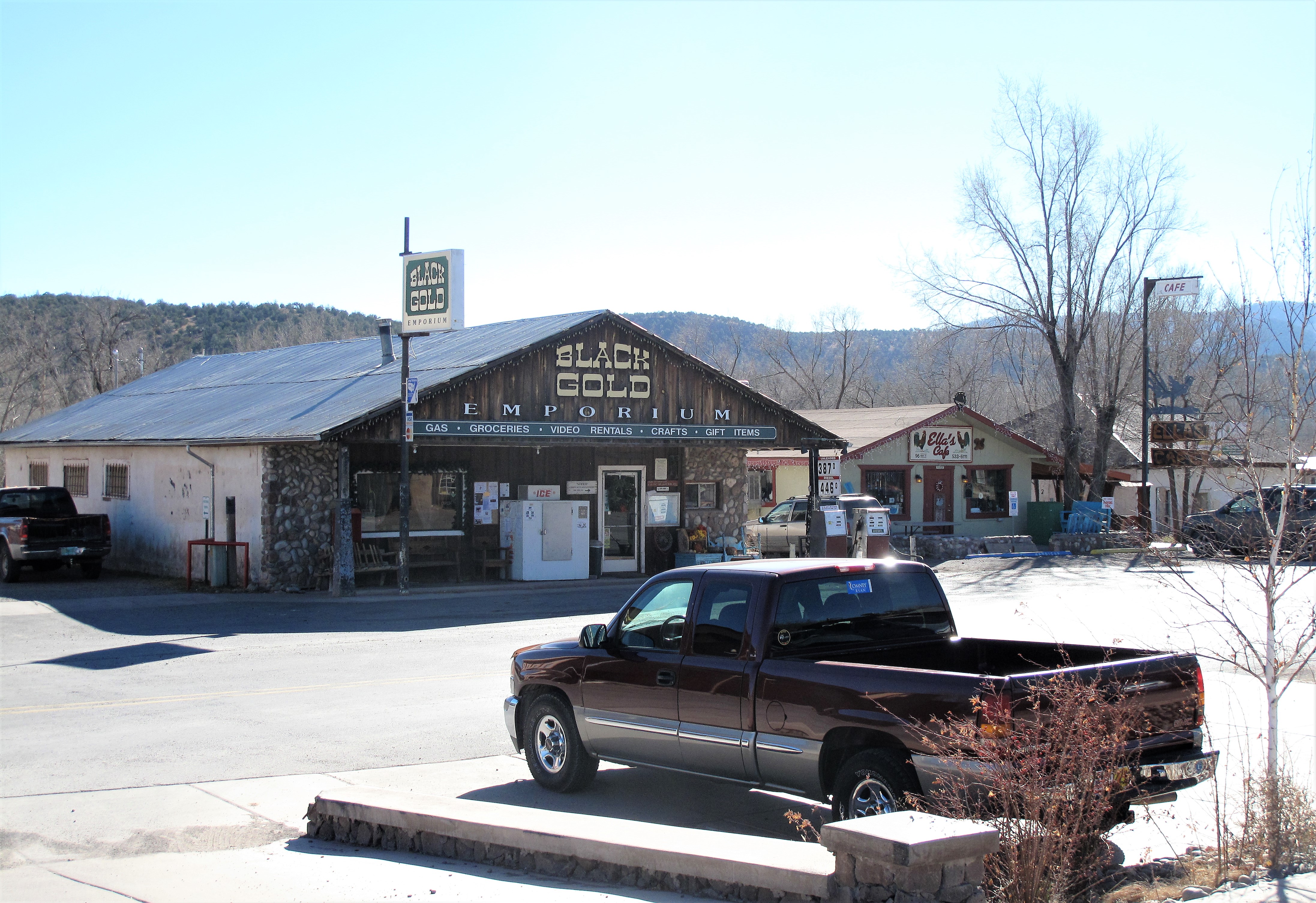
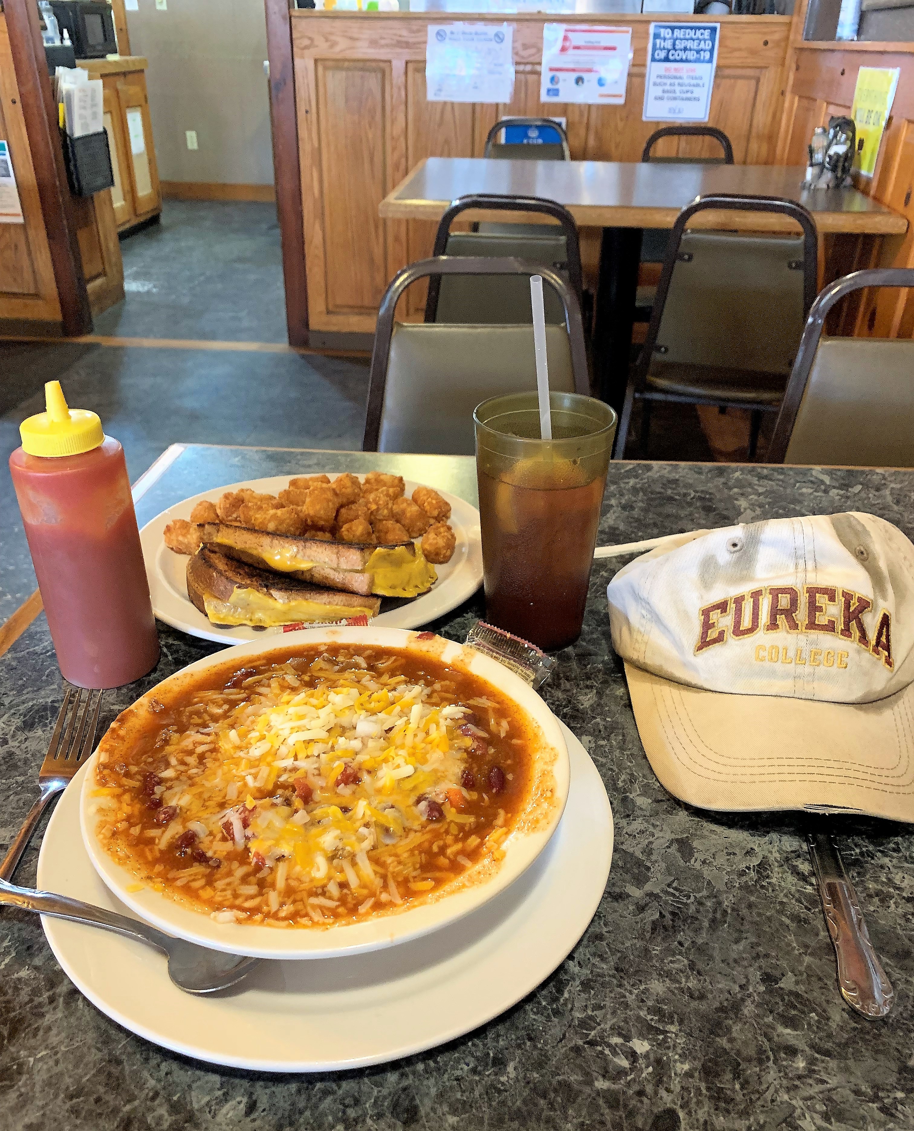
Along US 50 in Nevada, there are only 3 significant towns between the eastern border with Utah and the Naval Air Station in Fallon, Nevada, near the western end of the road. I stopped for the night at the first town, Ely. I lodged and ate the Prospector Hotel and Gambling Hall. The in-house restaurant is called “Margaritas” and features Mexican fare. When doing Mexican food carne asada is one of the best choices, and my steak dinner was at least twice as excellent as this excellent photo shows:
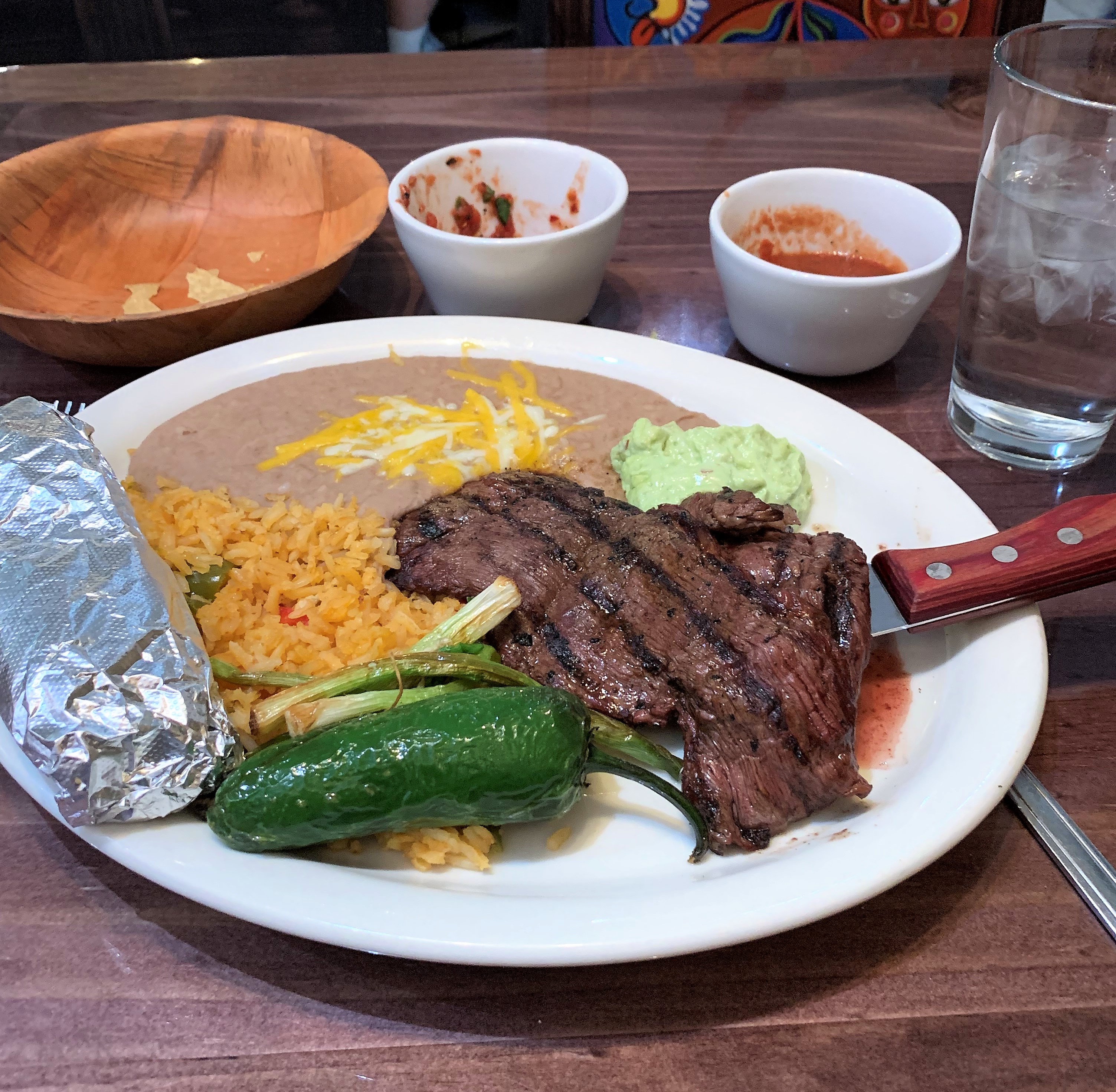
Grilled steak, grilled onions, warm tortillas, rice, beans, guacamole, and chips with two kinds of salsa (already consumed). One of the best meals I had during the entire trip!
Links:
Mom’s Cafe. Salina, Utah
Prospector Hotel and Gambling Hall. Ely, Nevada
Monday, May 10, 2021. Day 3: Ely to Stateline, Nevada
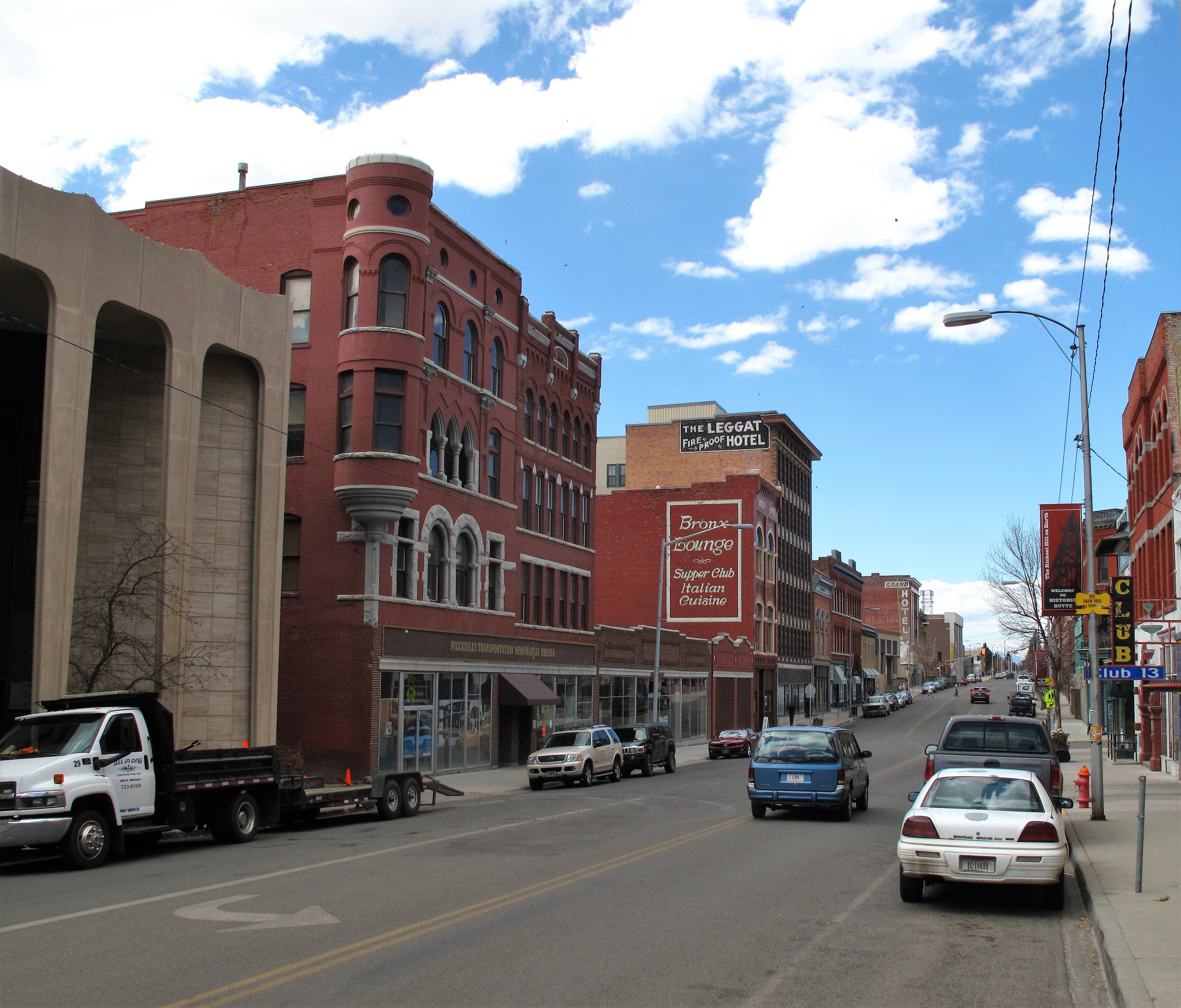
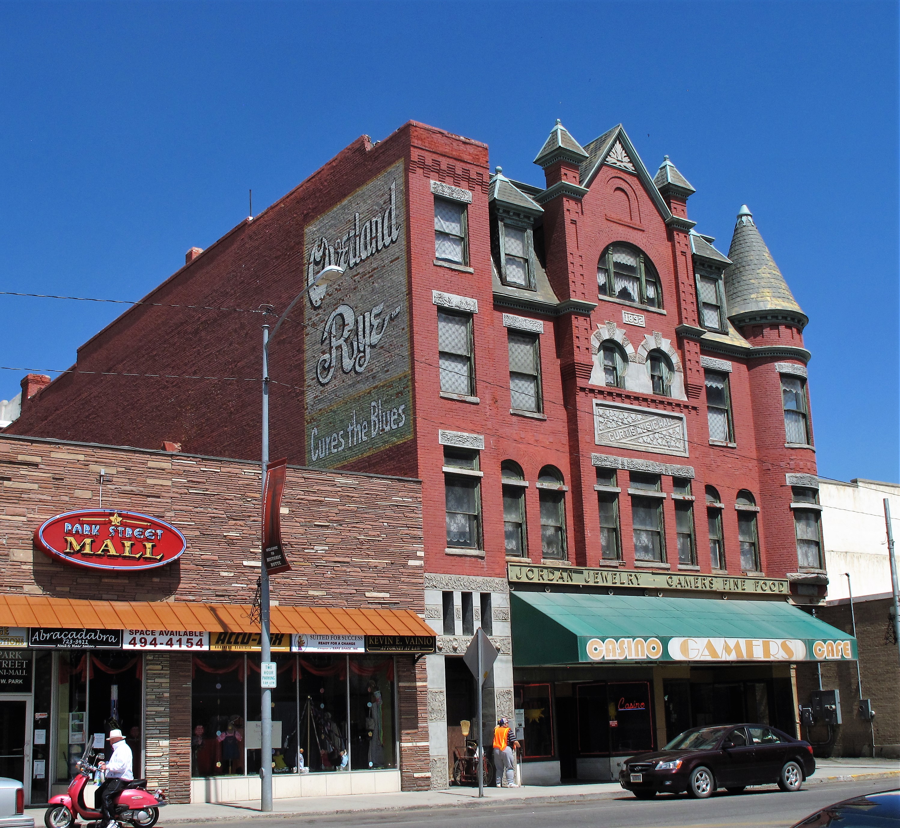
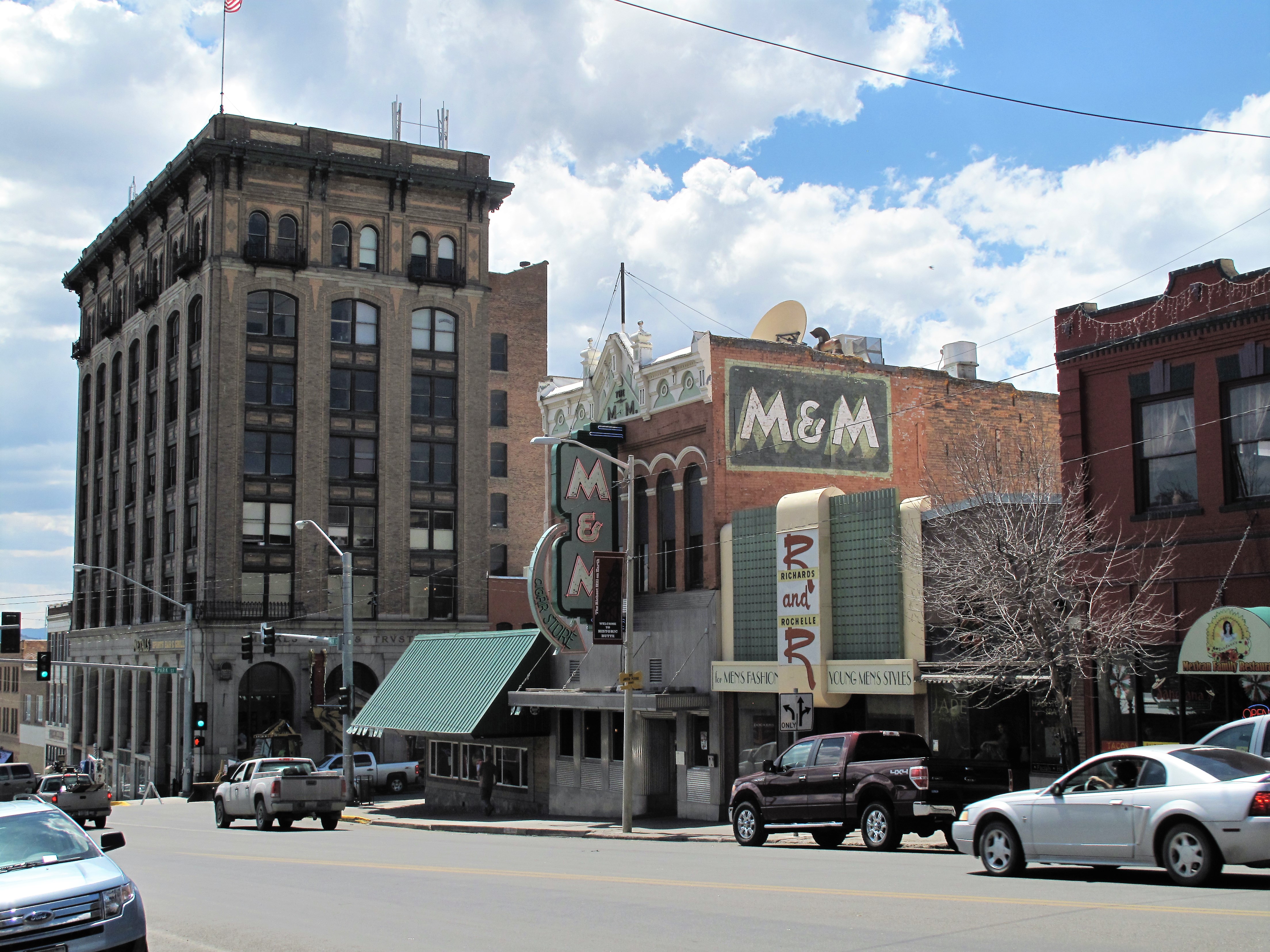
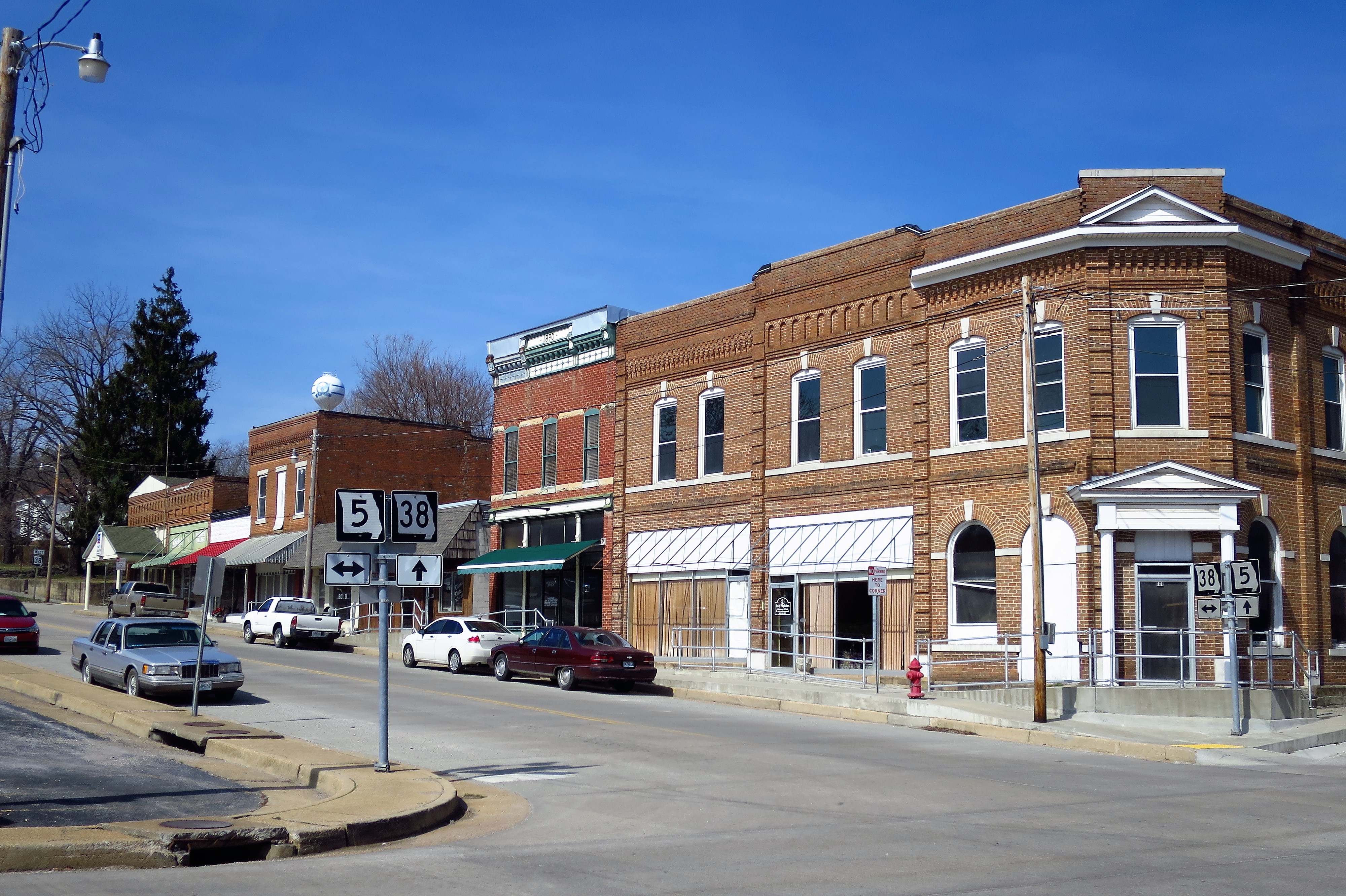
Ely (pronounced “EE-lee” by the locals) has a population of about 4,200. That’s big enough for a casino hotel and several smaller casinos along the town’s main drag.

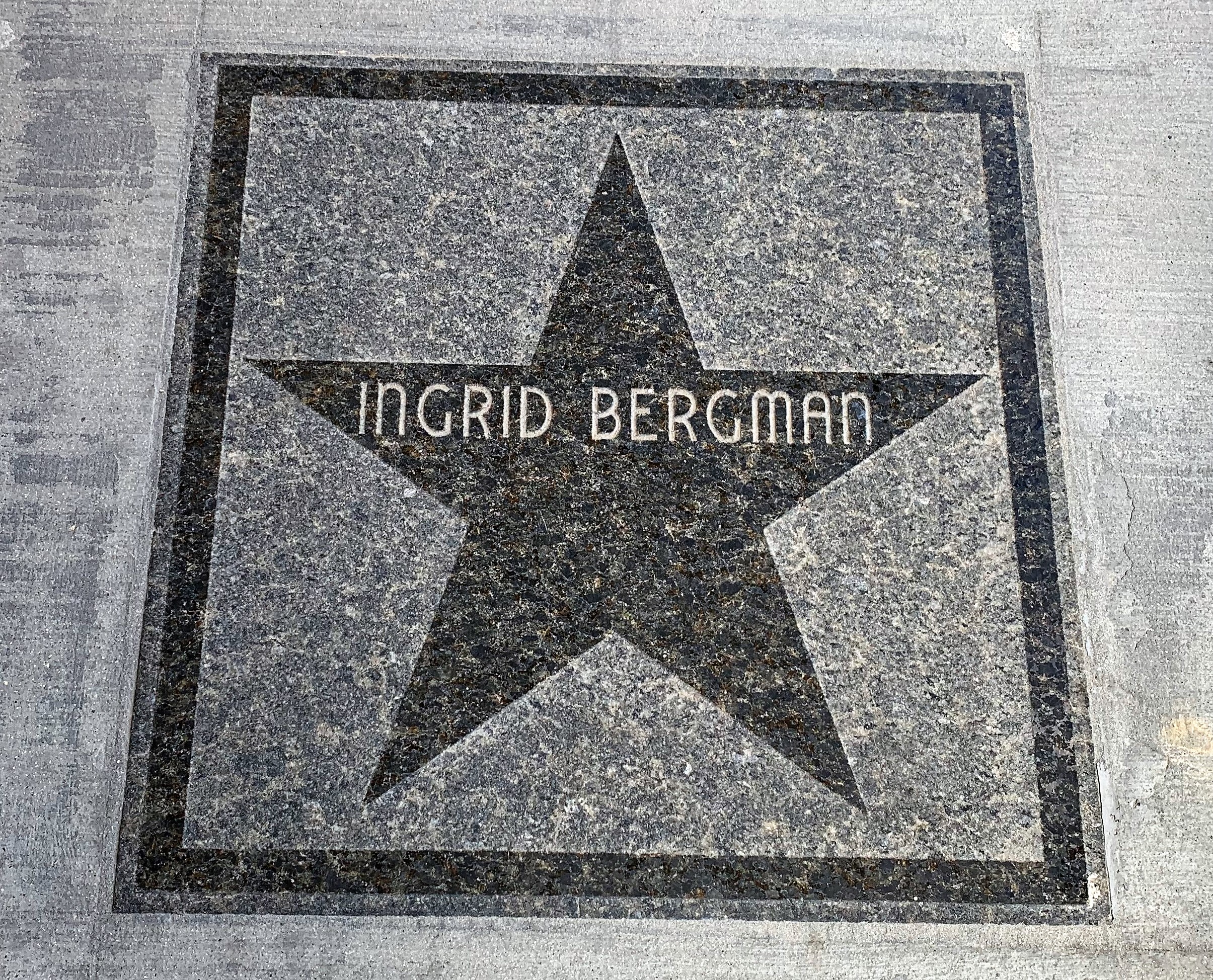
Back in Hollywood’s heyday the stars used to use Ely as a stopping point on their way from Hollywood to points north. Hotel Nevada keeps a “Walk of Fame” on their front sidewalk to remember all their most famous visitors:


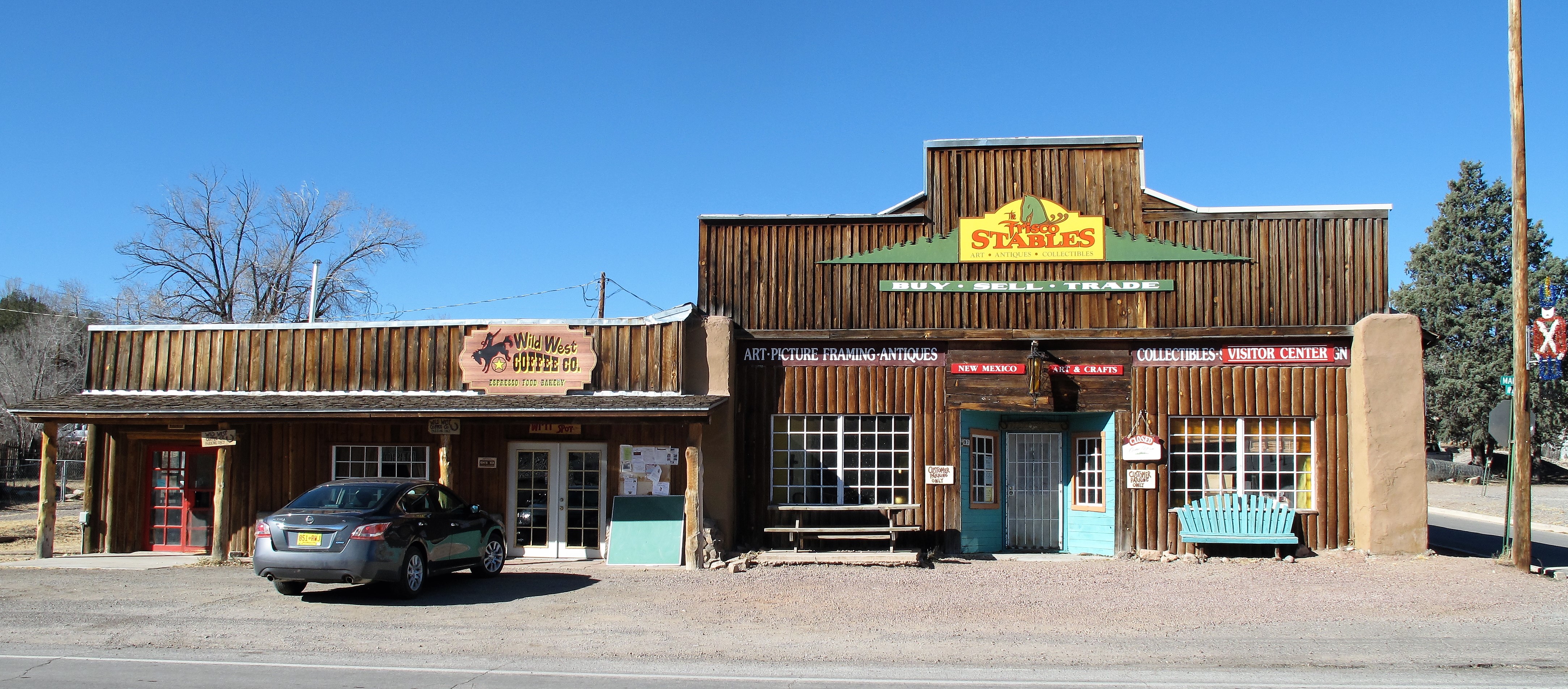
Traveling US 50 in Nevada is something like a roller coaster. Between Ely and Fallon, Nevada’s landscape consists of a series of north-to-south mountain ranges separated by deep desert valleys. So driving the Loneliest Road involves climbing a mountain range to its summit (mountain passes reach about 7,000 feet) and then descending down to a flat sagebrush valley. Then repeat. Sometimes the valleys have dry alkali lakebeds, sometimes they don’t. If you’re lucky you’ll see a herd of mustangs grazing the sagebrush (not this time though). The mountains always have a few spruce trees and sometimes they have snow-capped peaks.
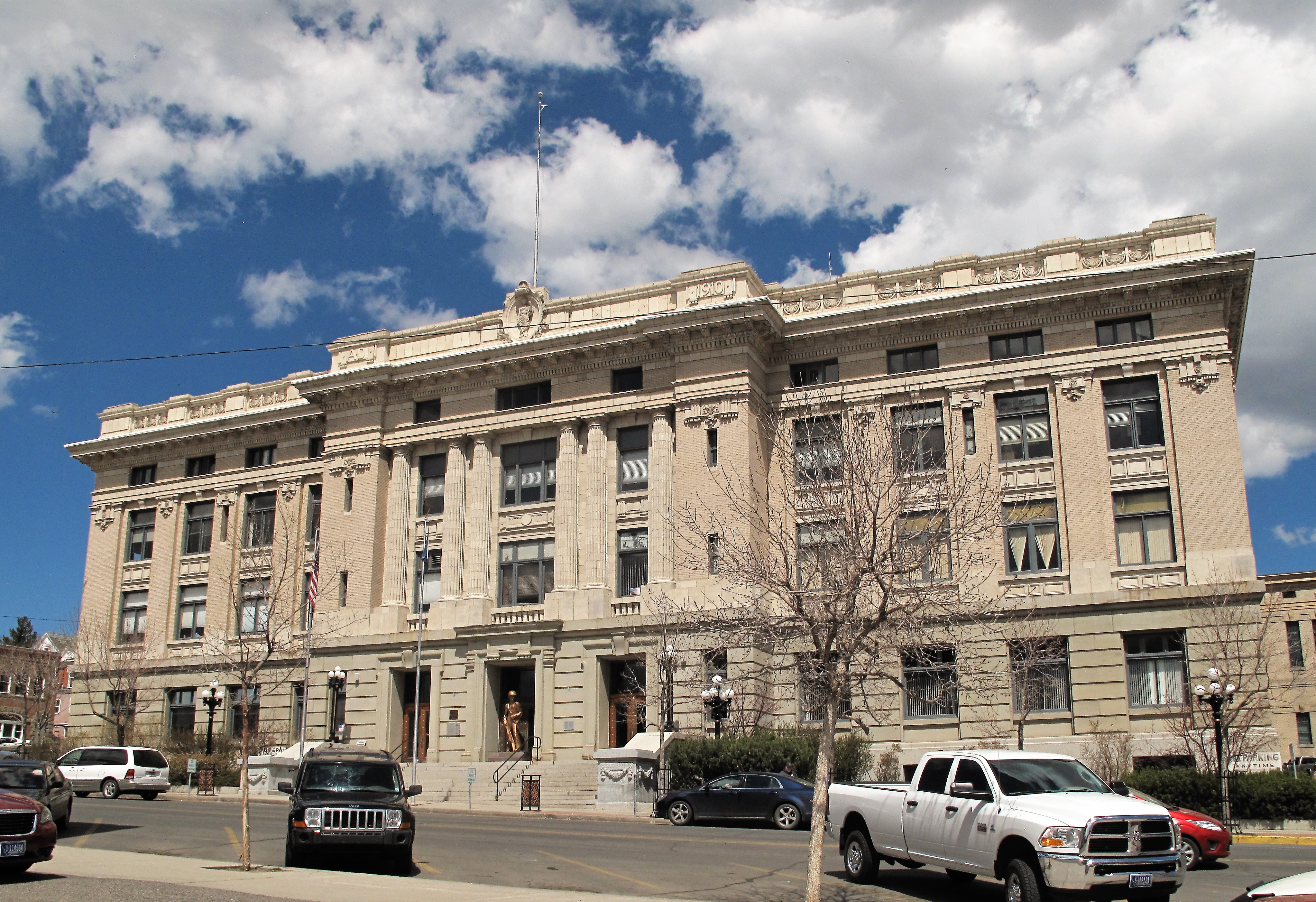
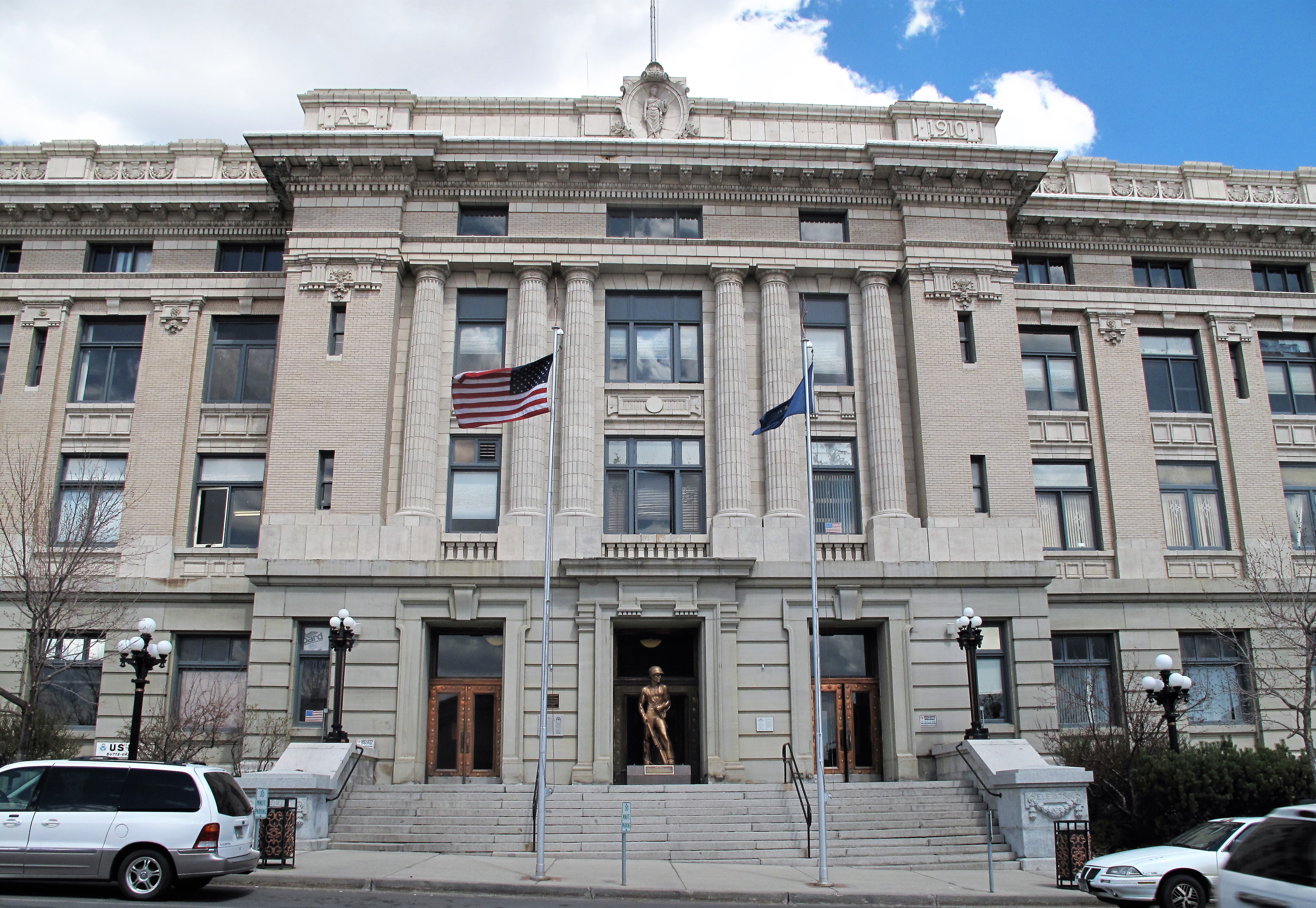
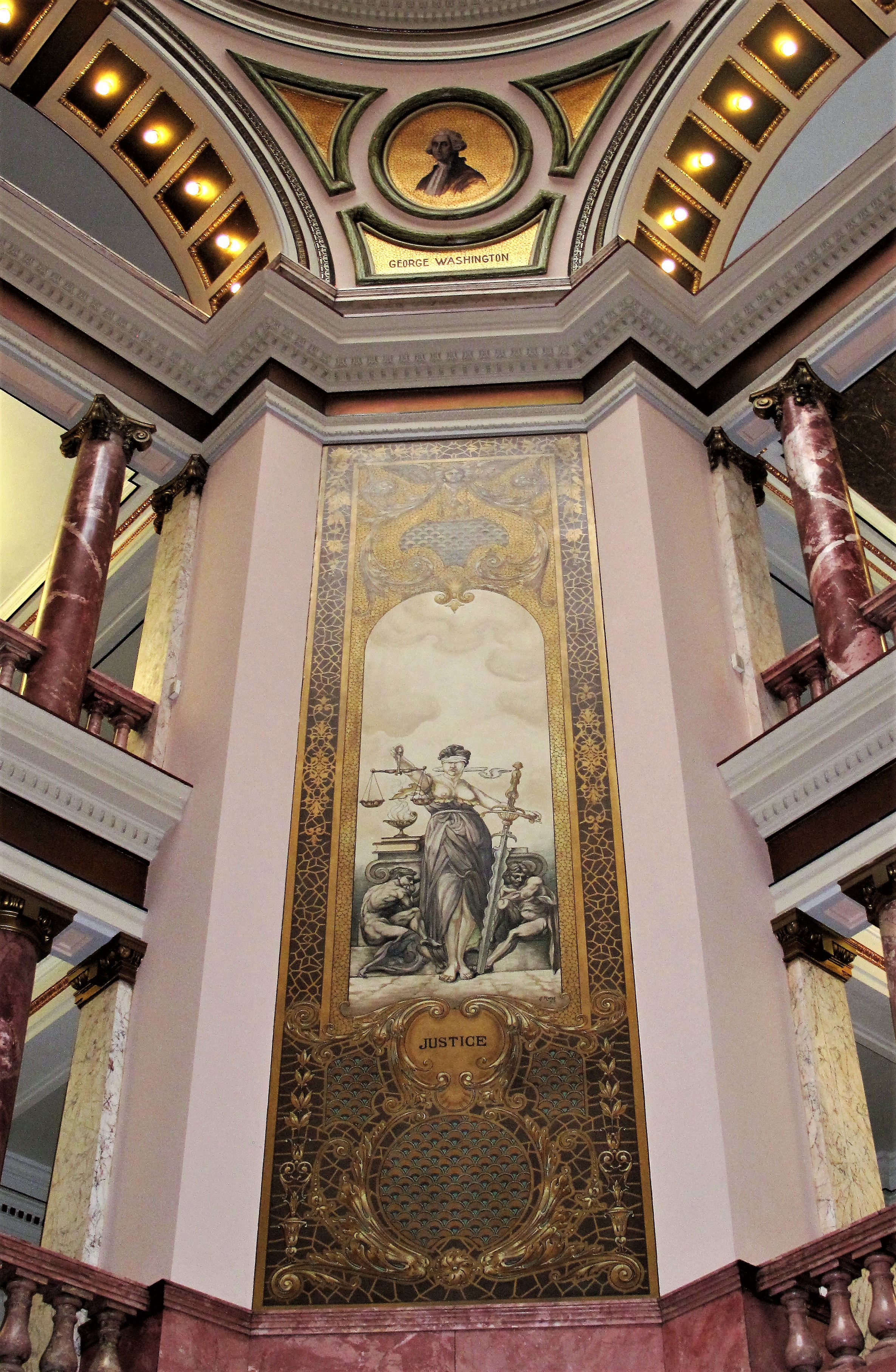
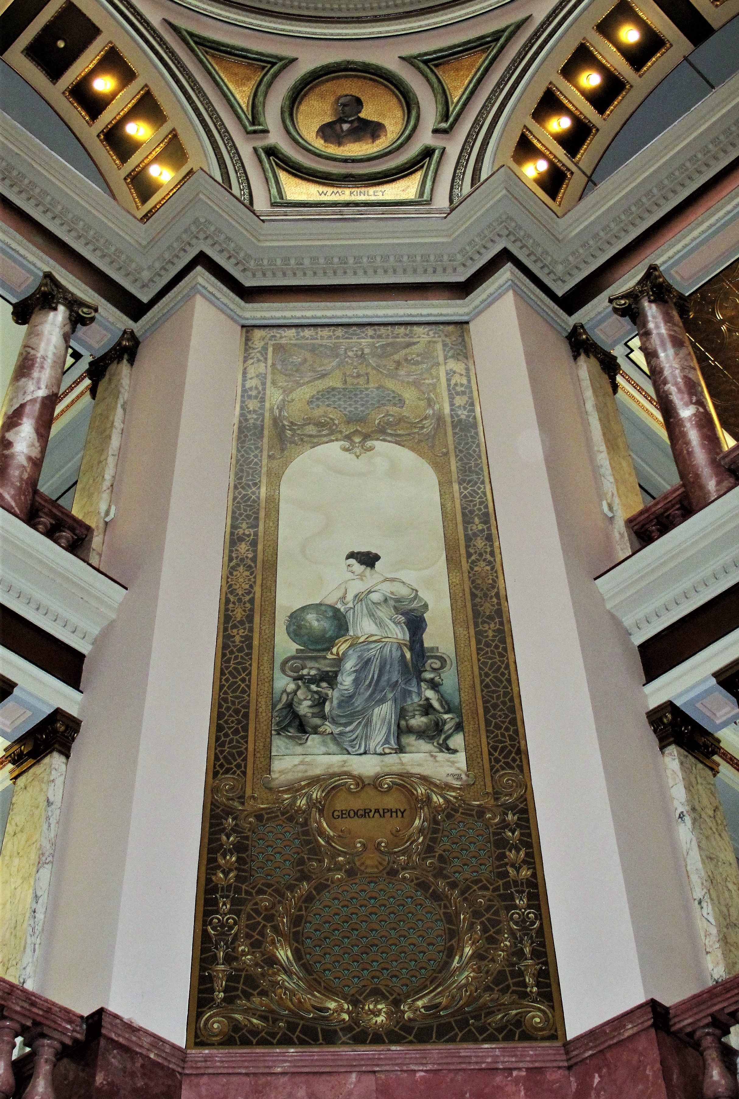
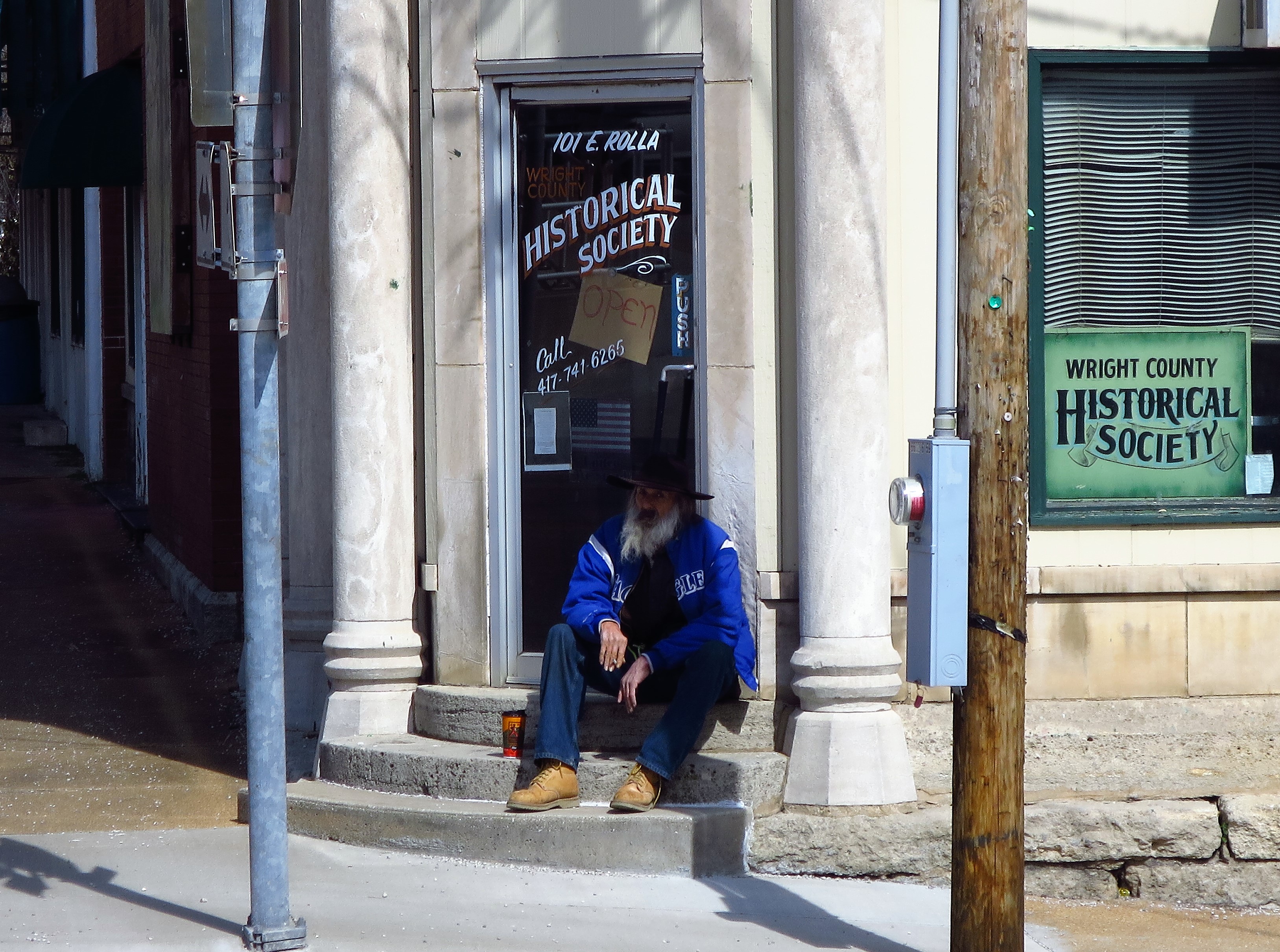
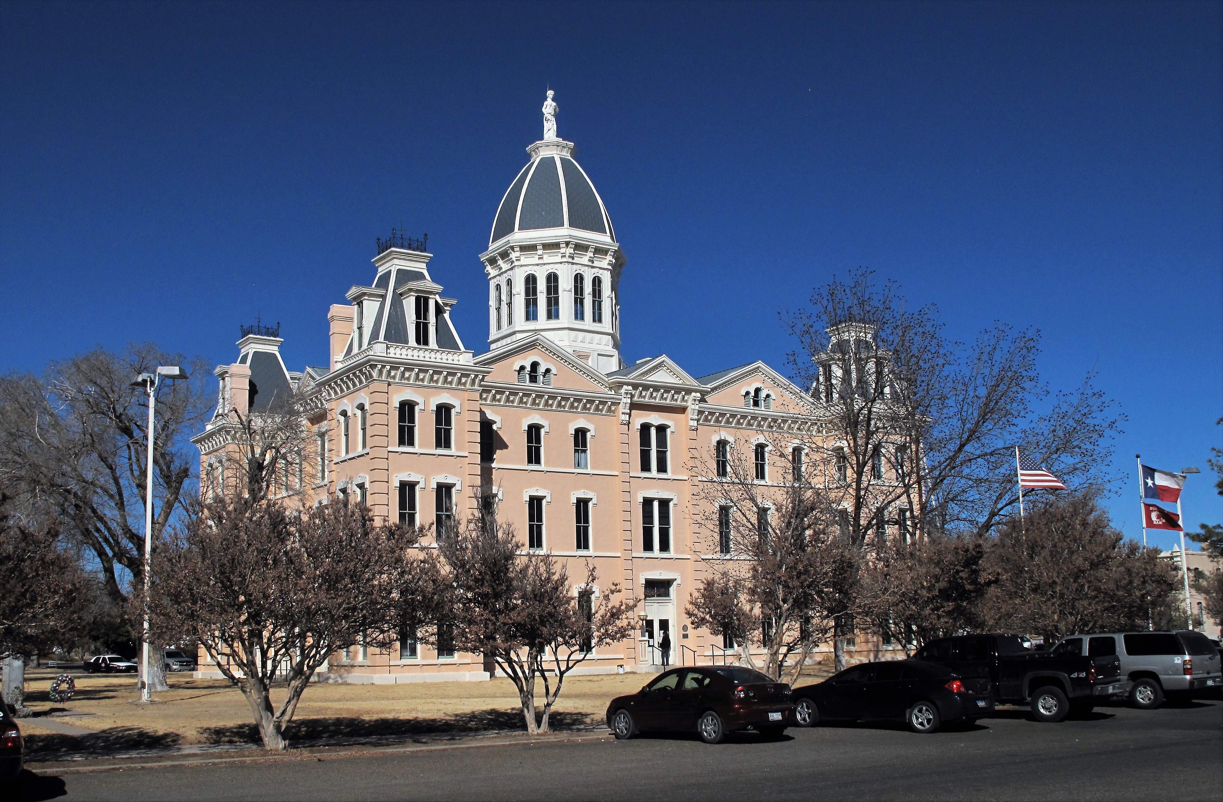
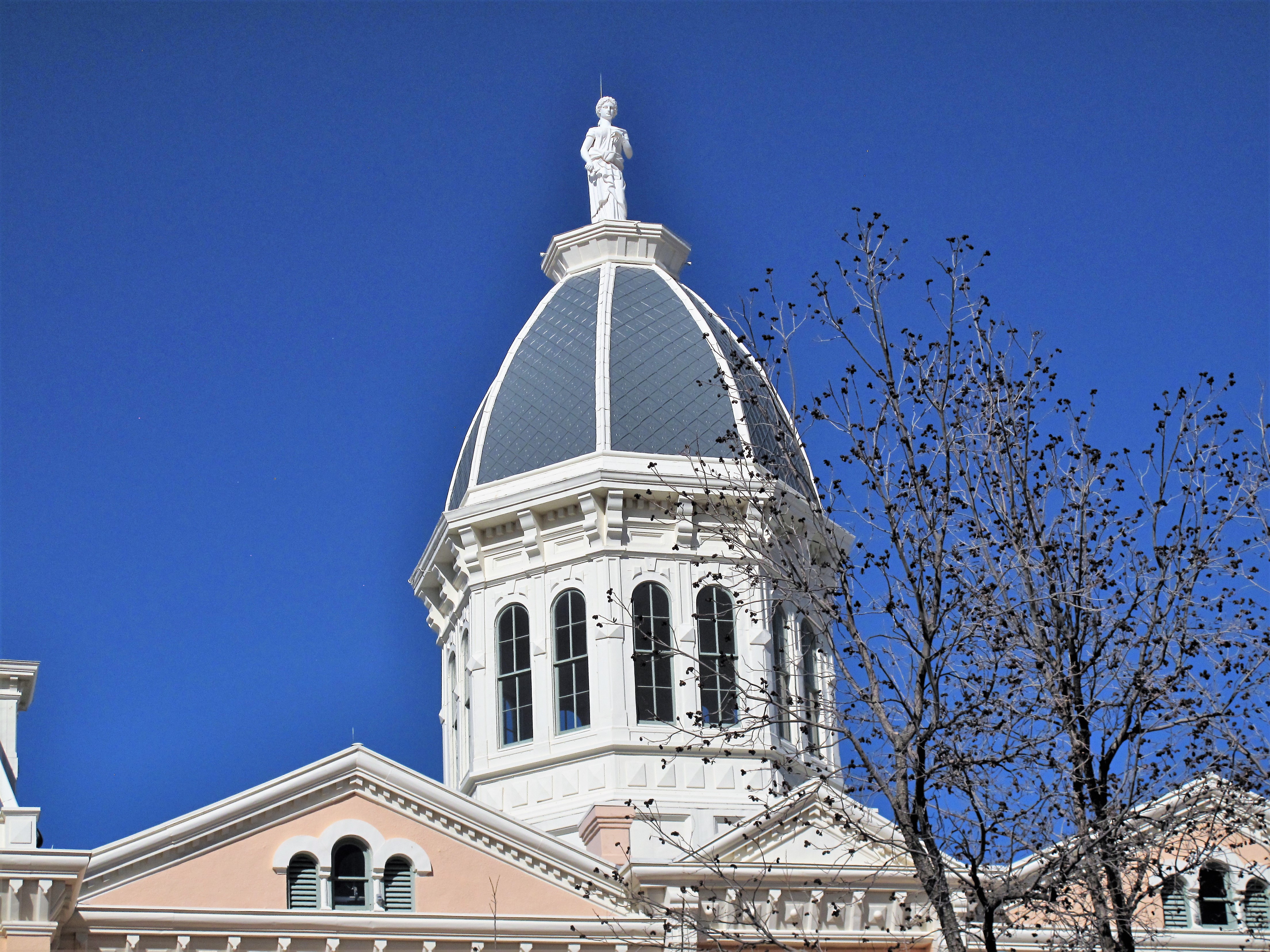
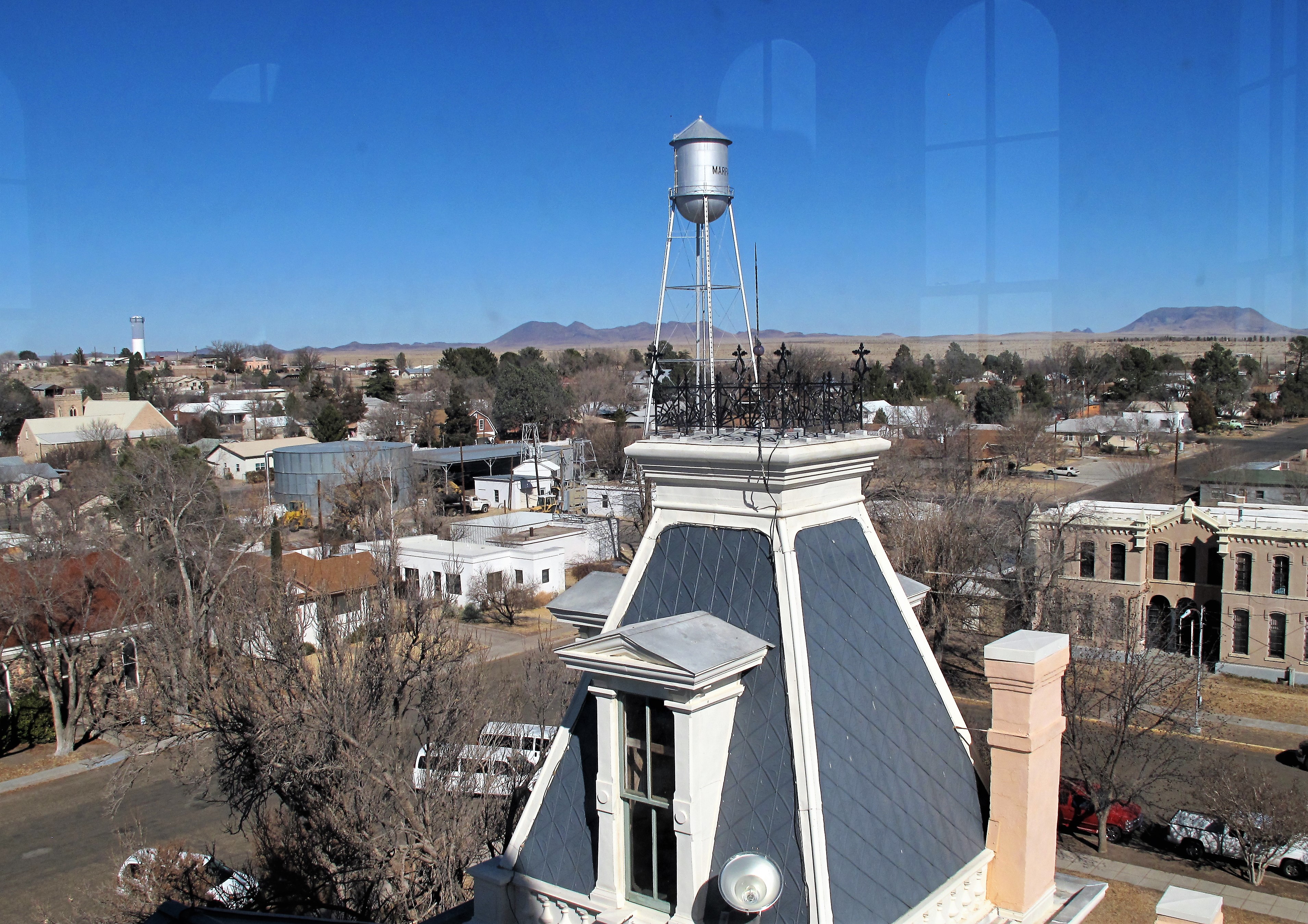
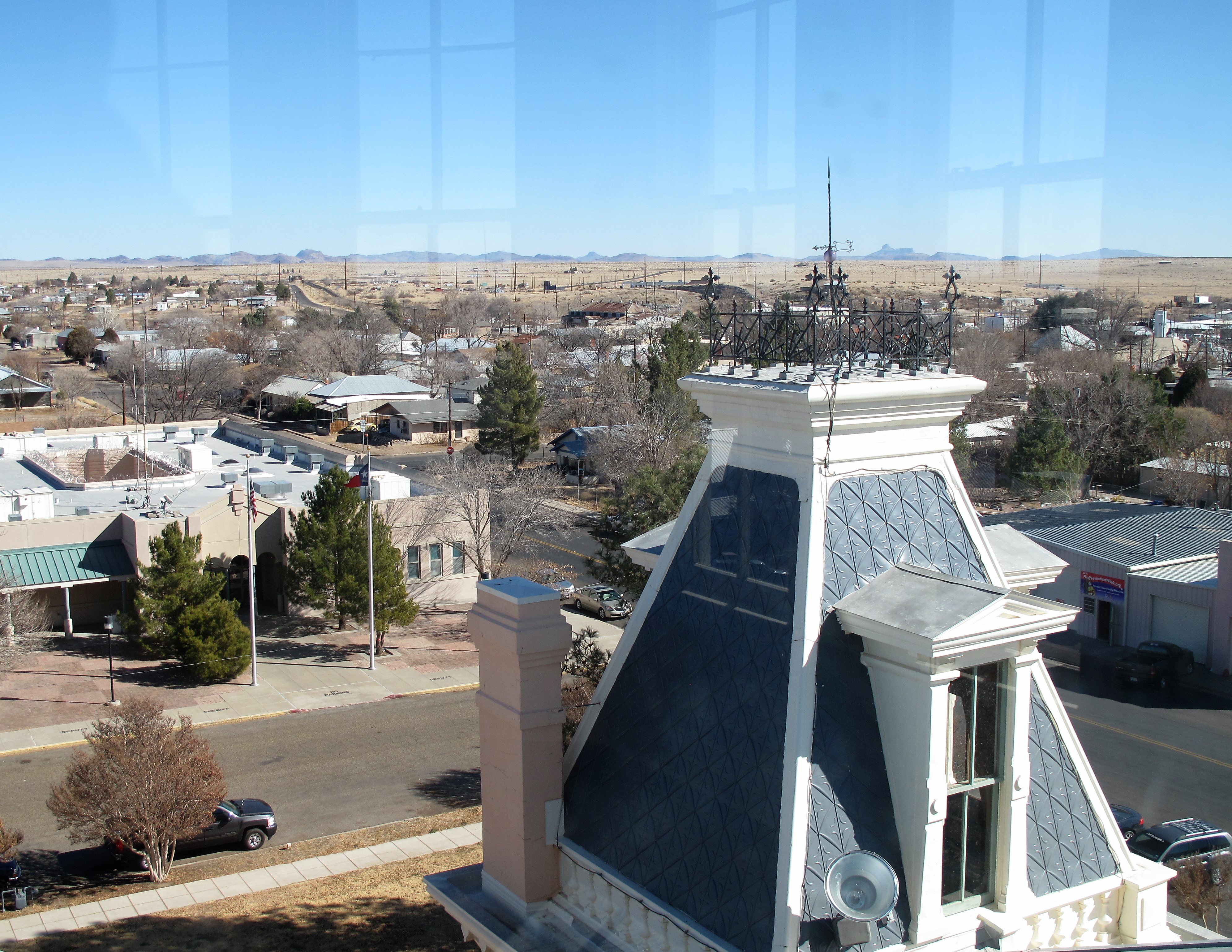
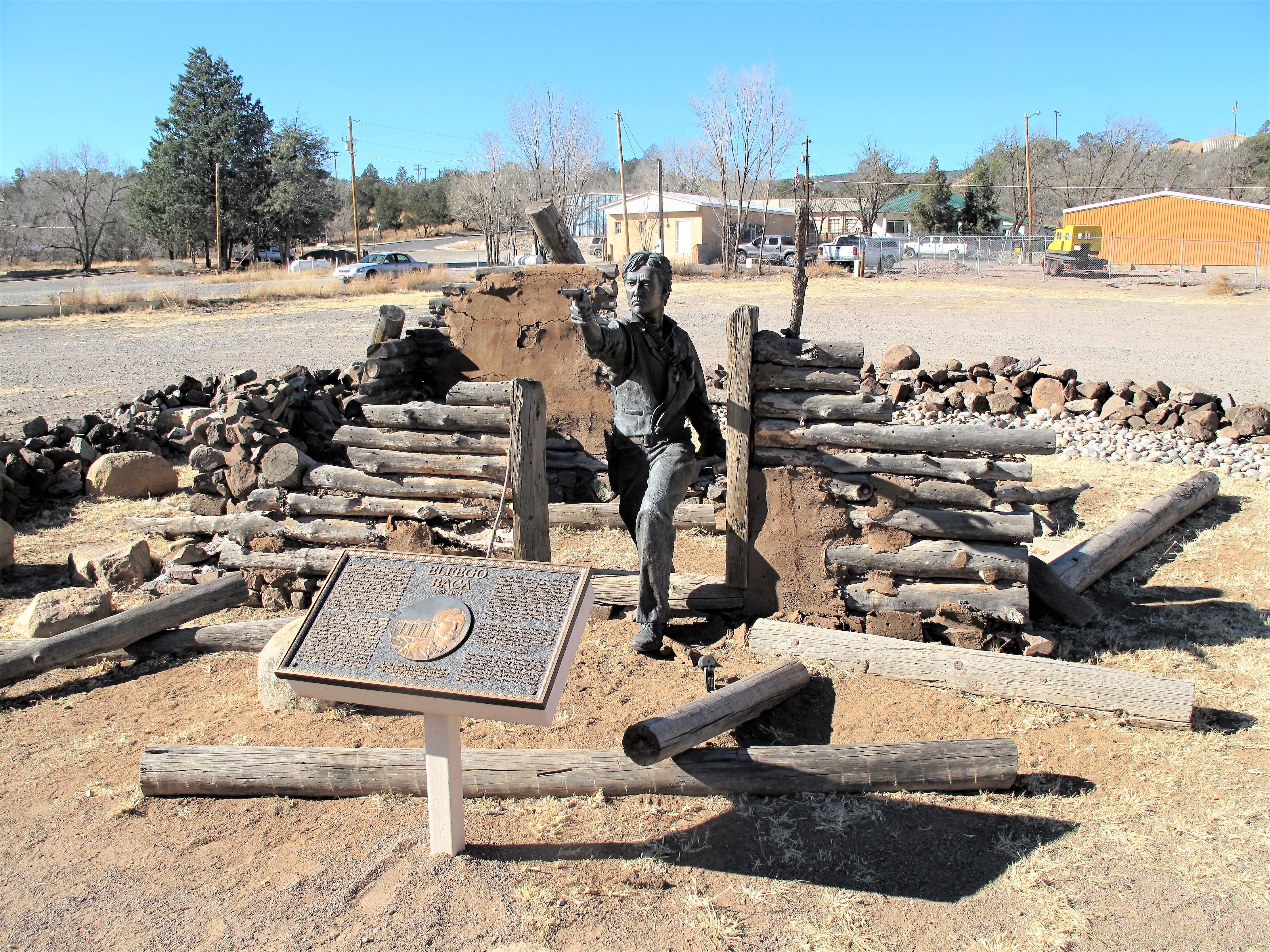
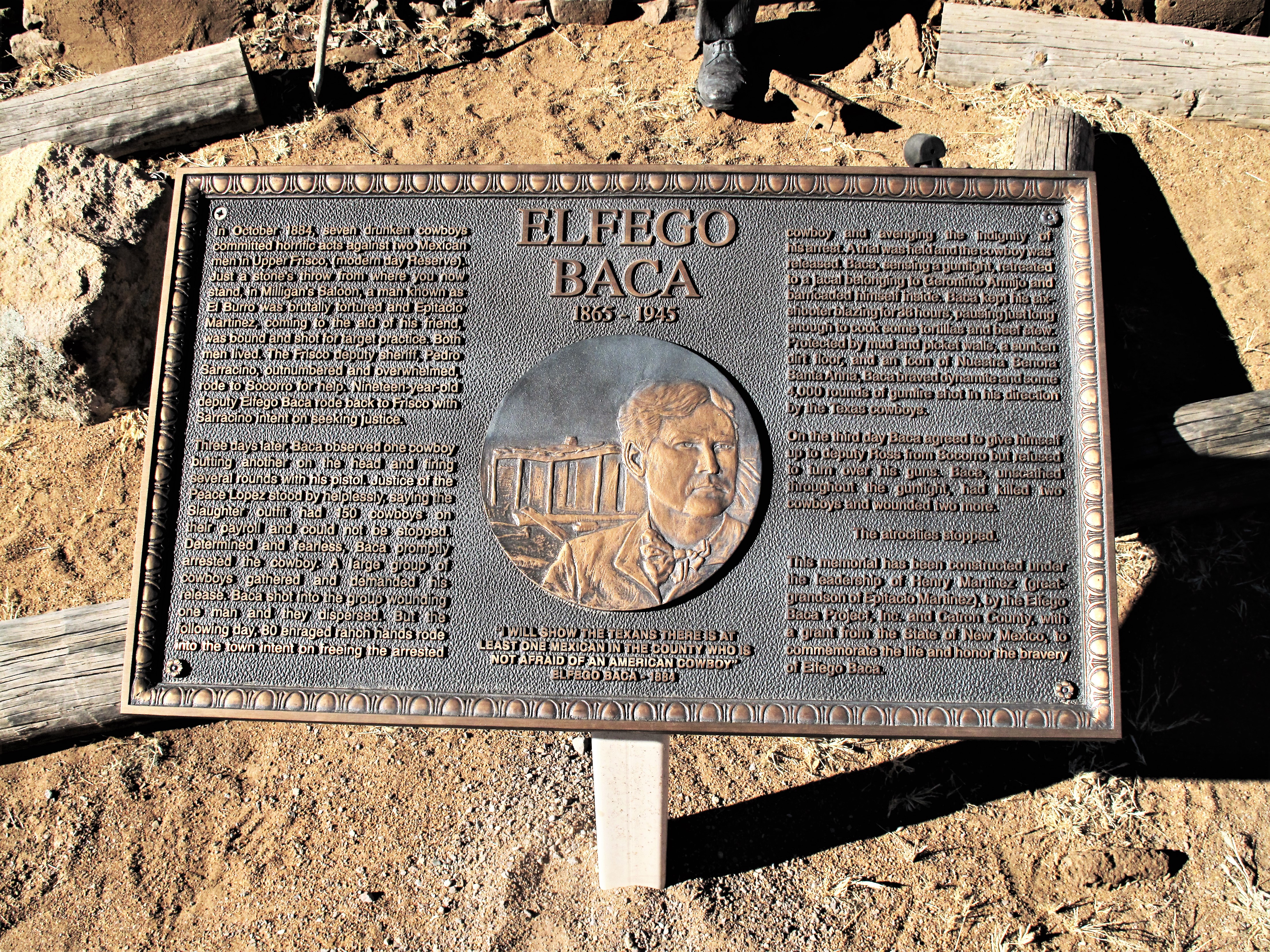
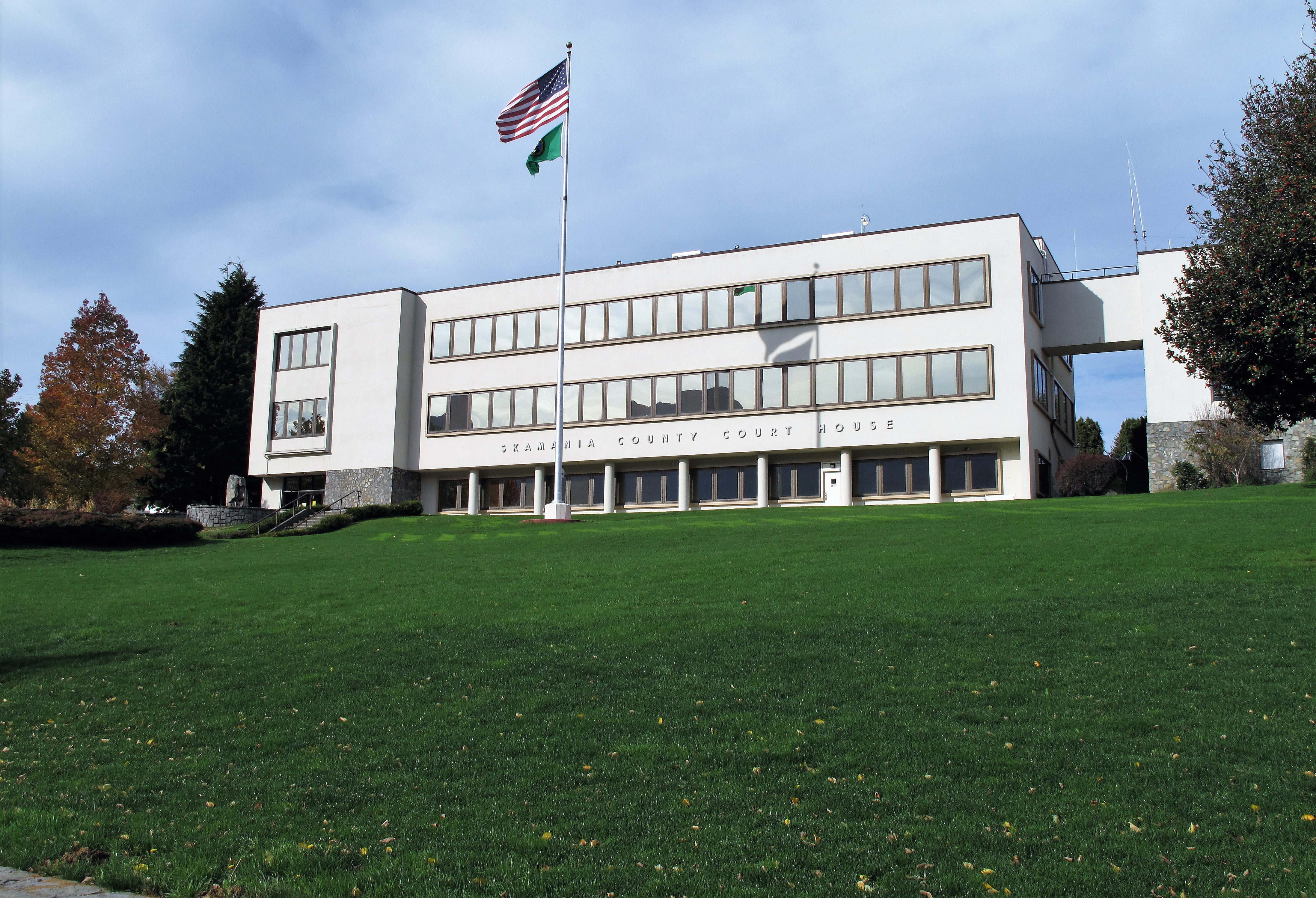
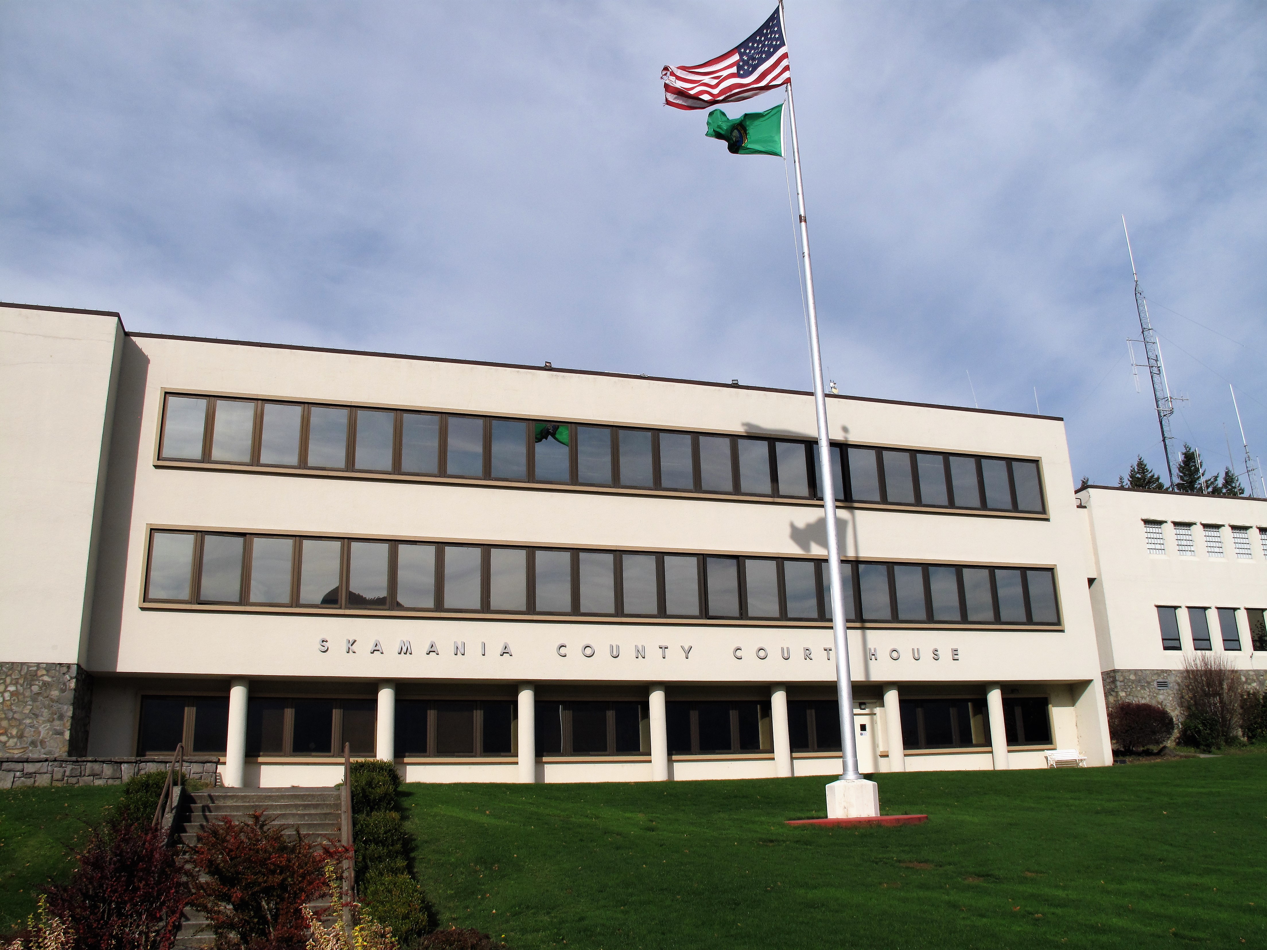
Beyond that mountain range lies the town of Eureka, Nevada, population 400 or so. Gold was once mined here in abundance; some remnant mines remain. Here’s the 1879 courthouse still in use today.

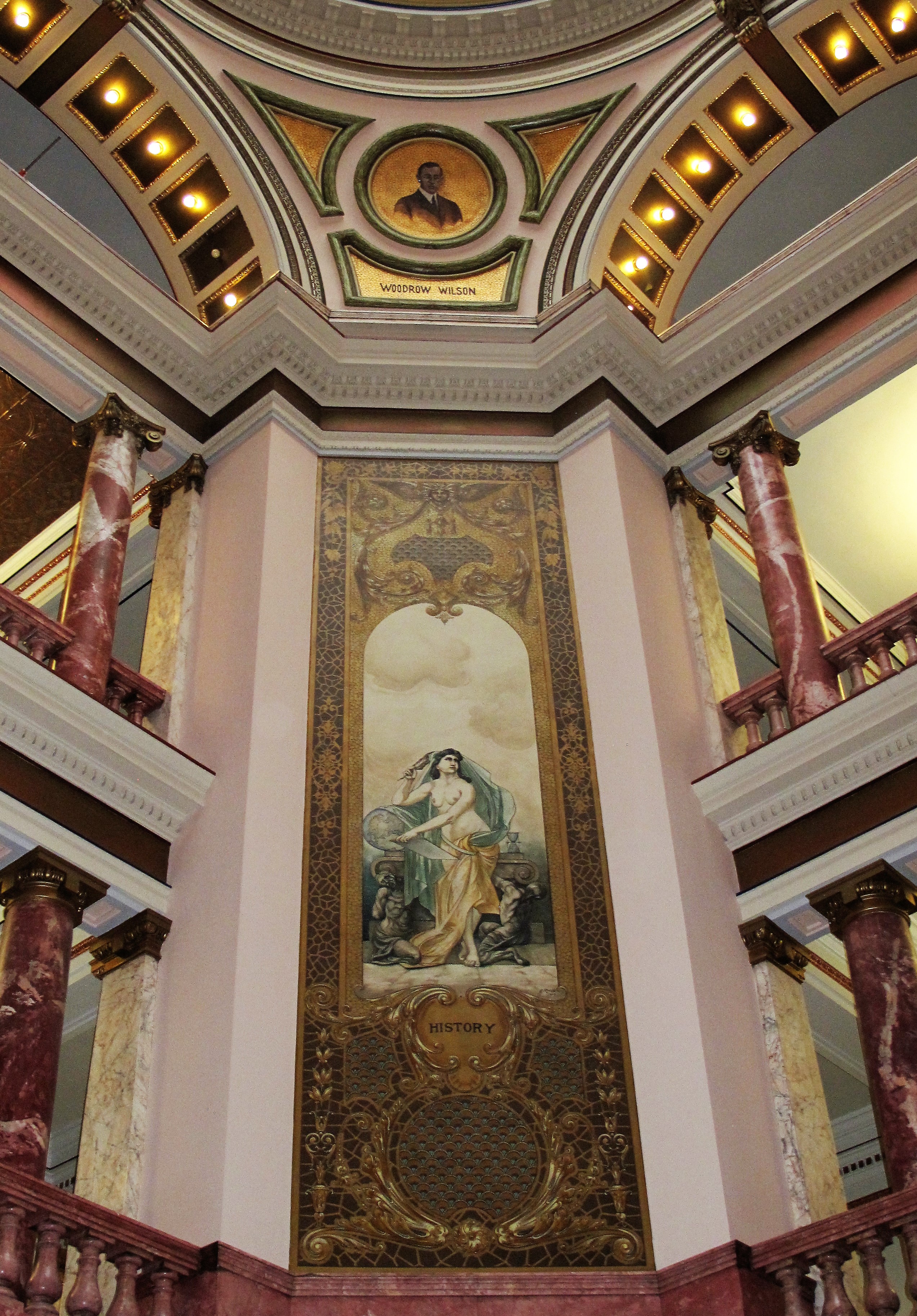
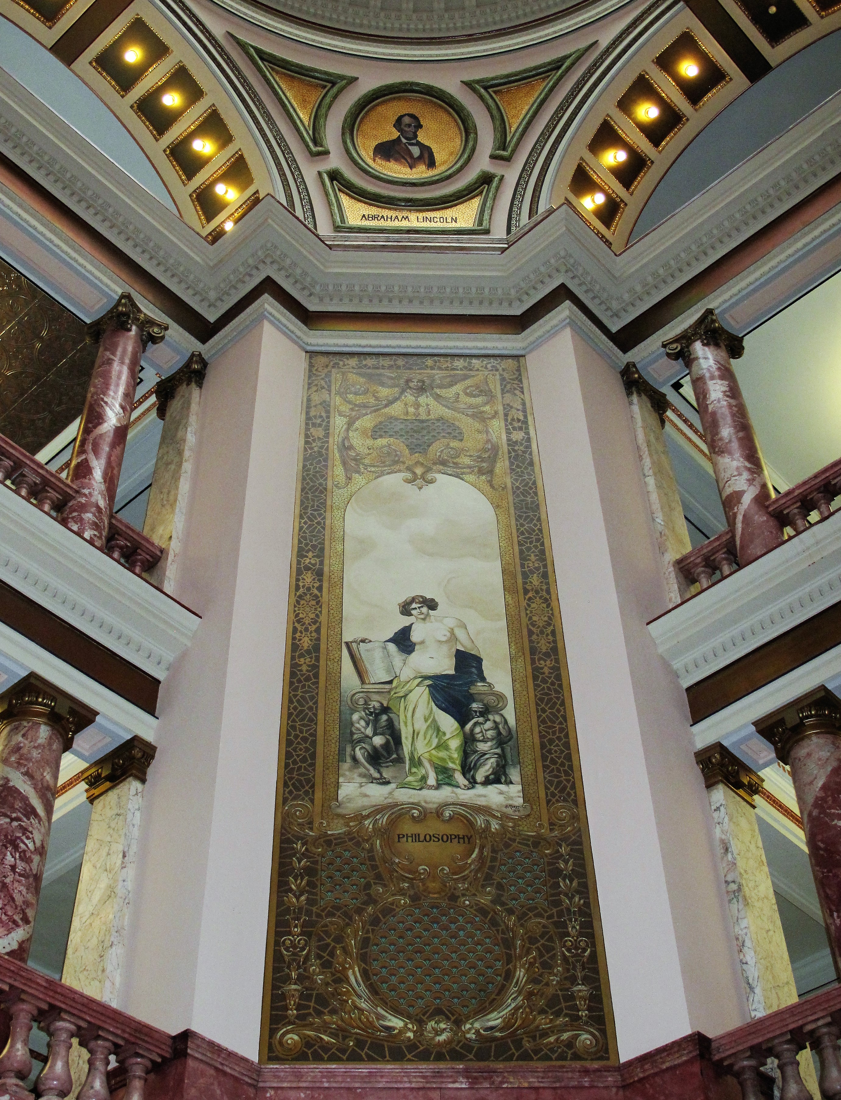
This is the District Courtroom in Eureka, Nevada. Old and new: the woodstove is on one side of the courtroom while the flat-screen TV is on the other side.
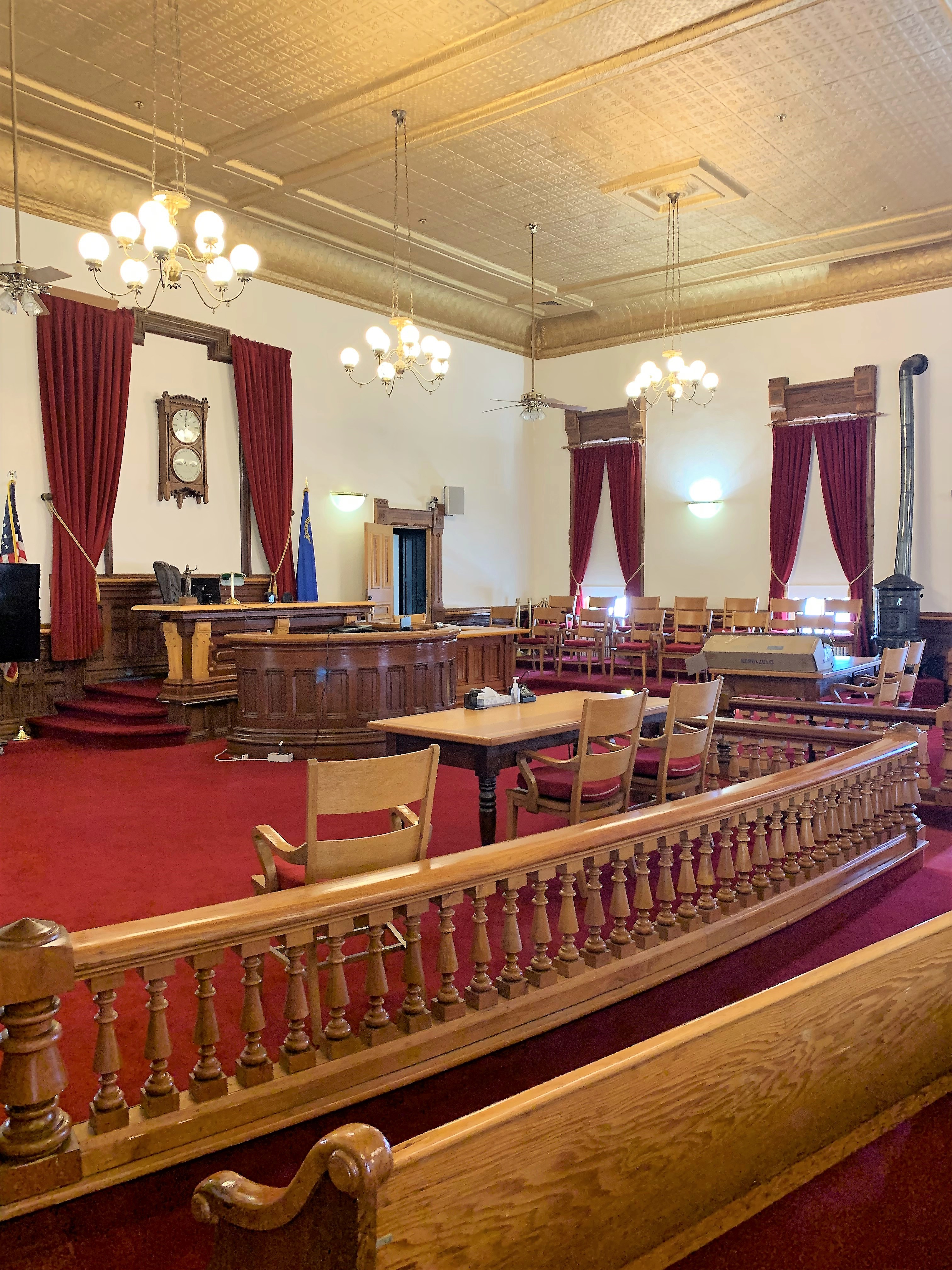
The rifle on display on the courtroom wall was used by drivers to guard the stage line between Eureka and Ely, Nevada.
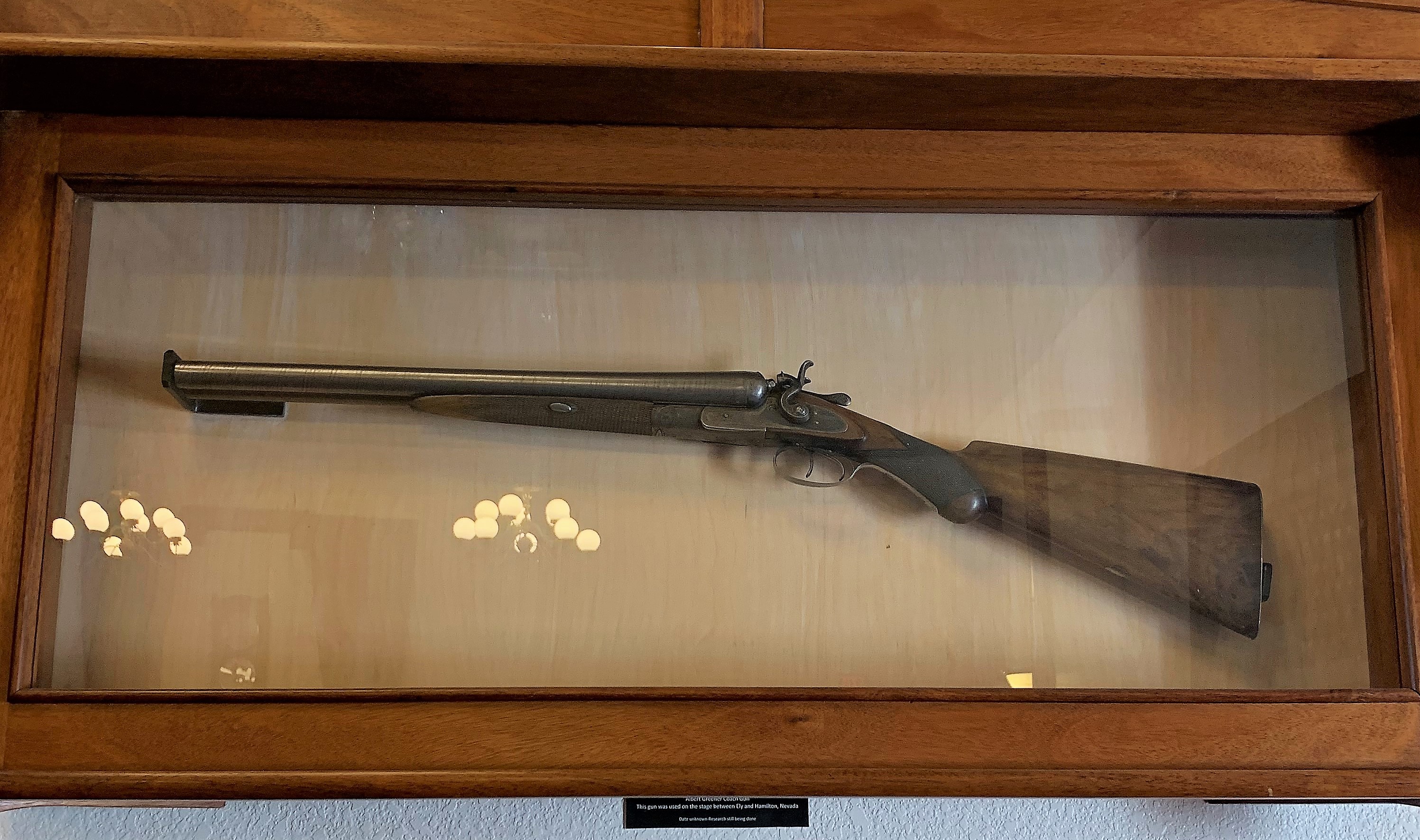
According to Philip Mayo: “That’s a double-barreled shotgun. Hence the term, ‘riding shotgun’ on the stagecoach. Most effective for close range. Just point and squeeze the trigger. Also, the barrels are short so the user could swing it quickly in all directions without hitting or getting caught on anything.”
Lunch at the Owl Cafe, Steakhouse, and Casino.
Back on the road again…
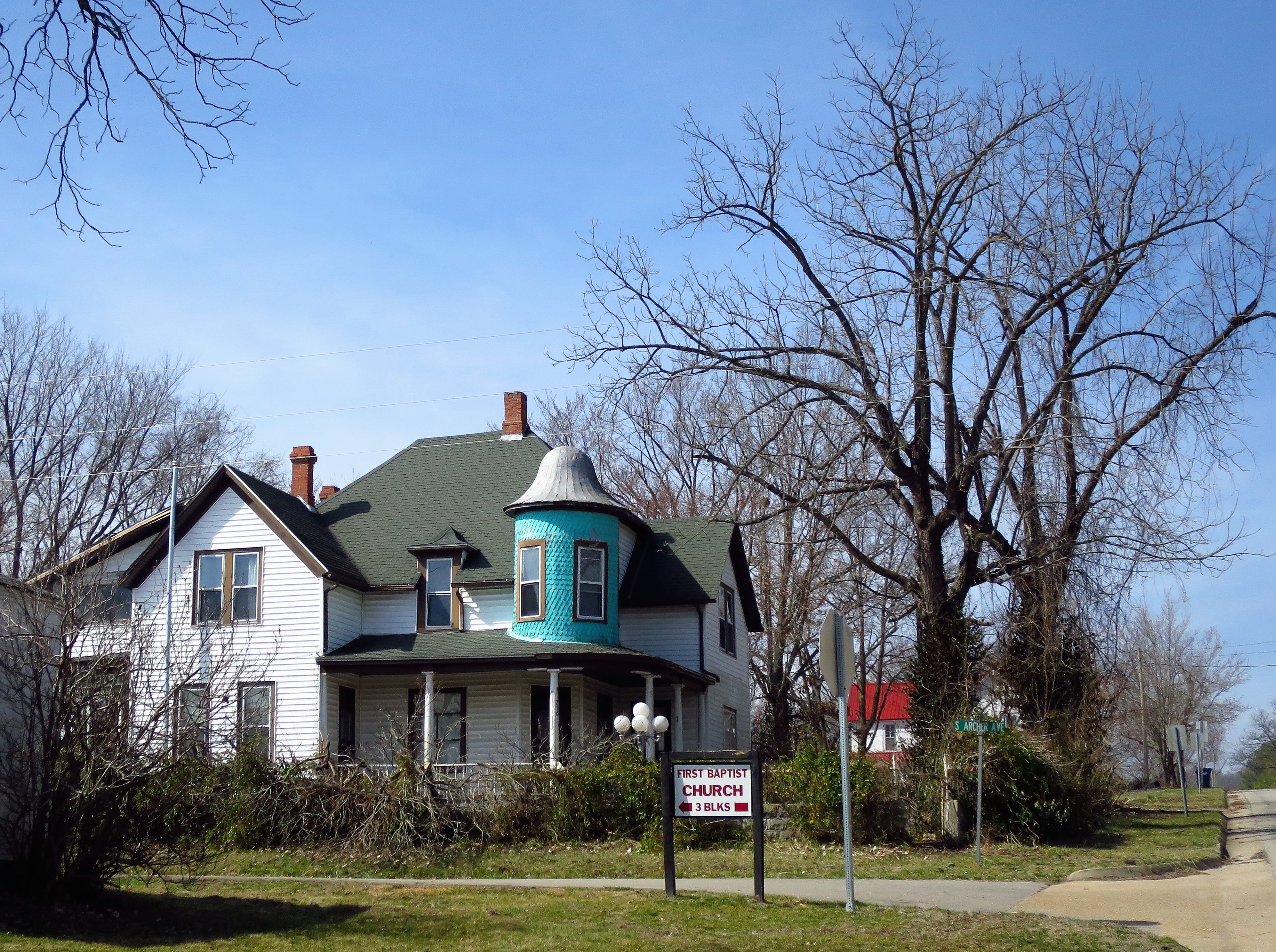
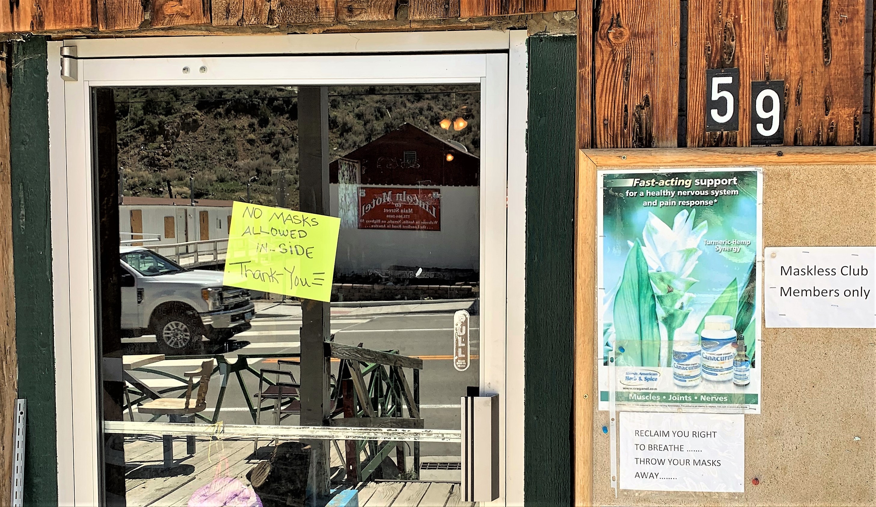
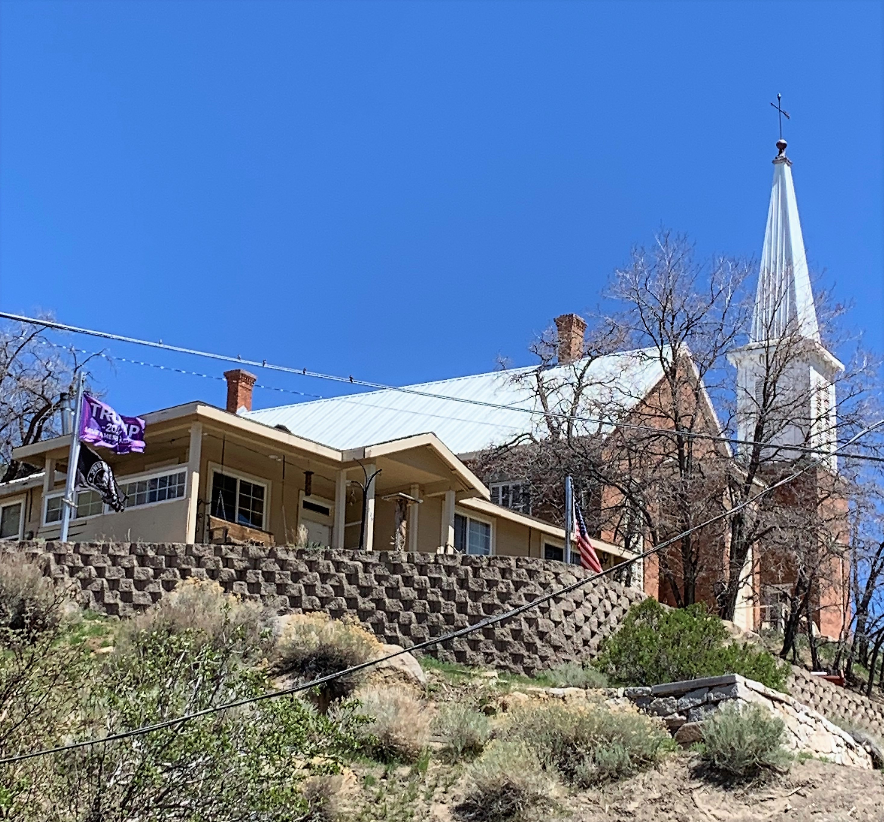
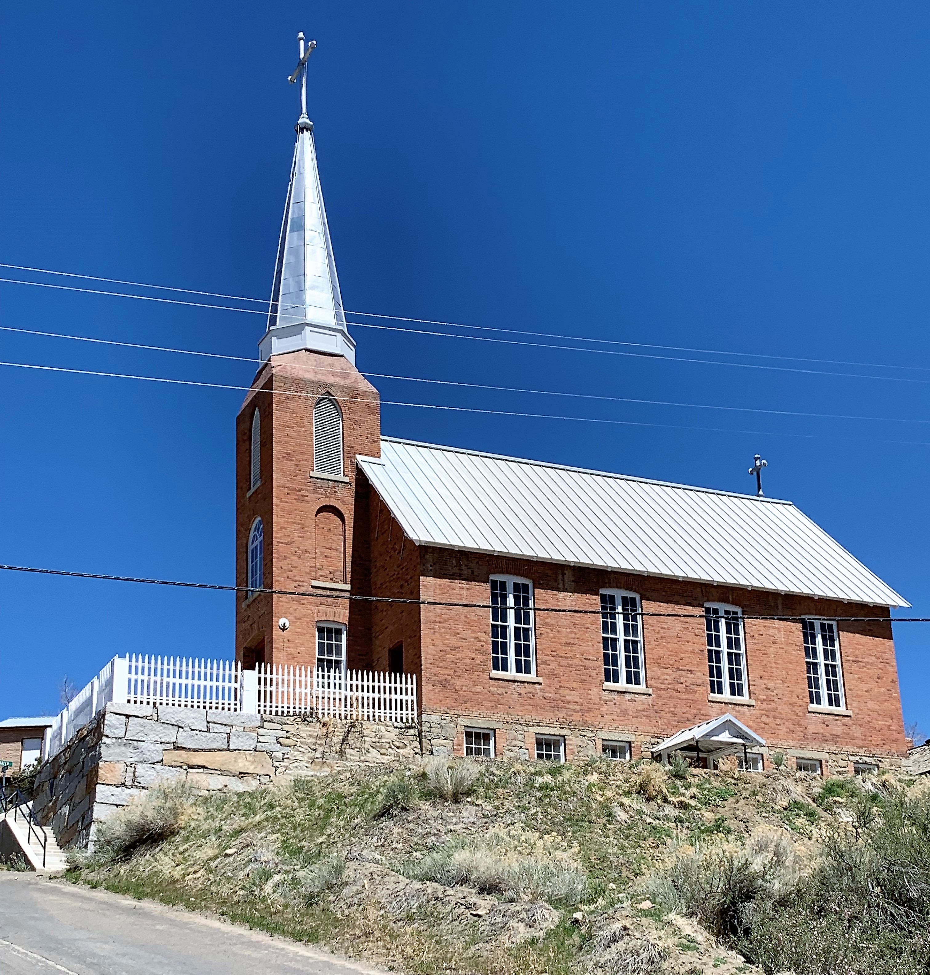
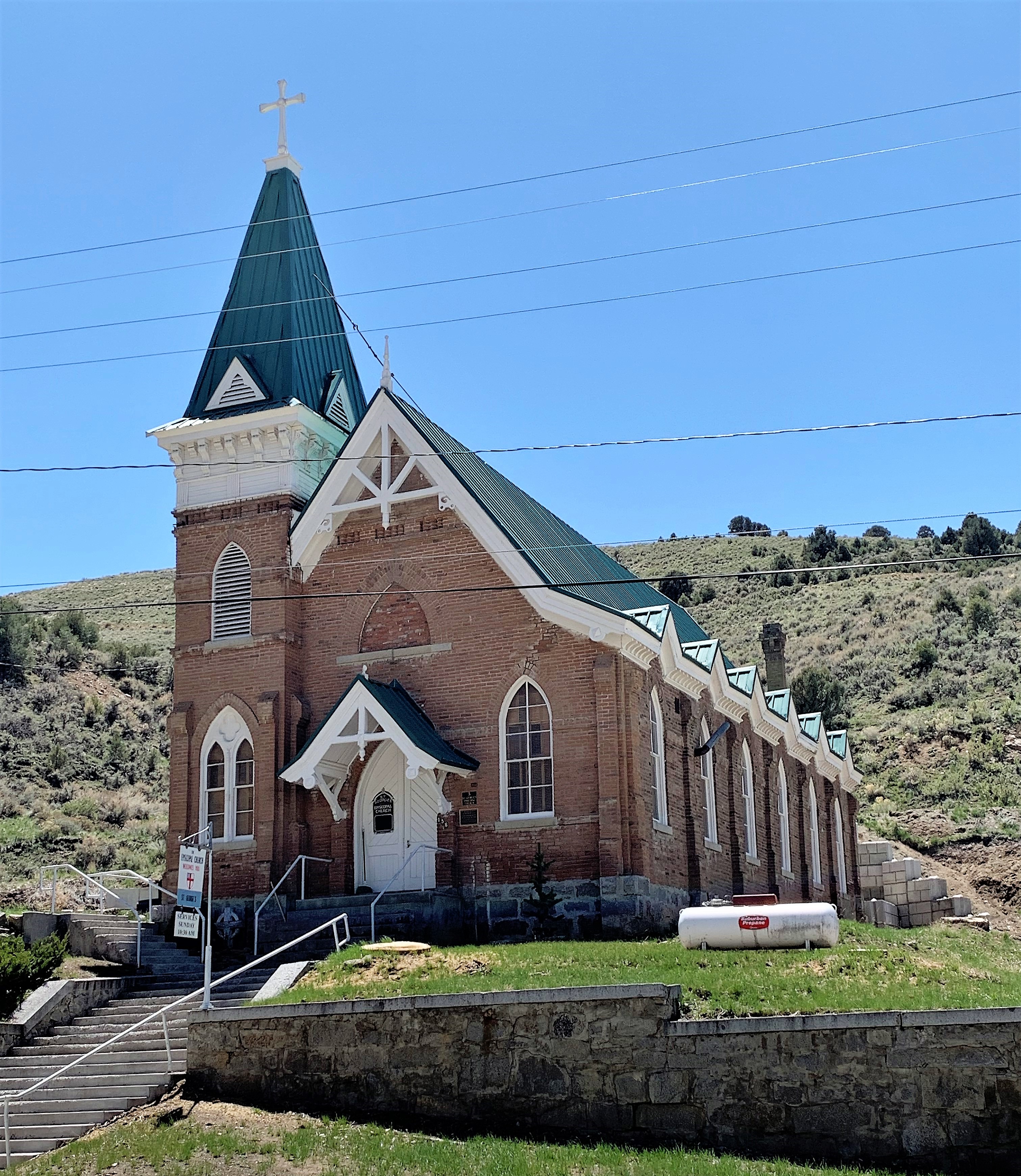
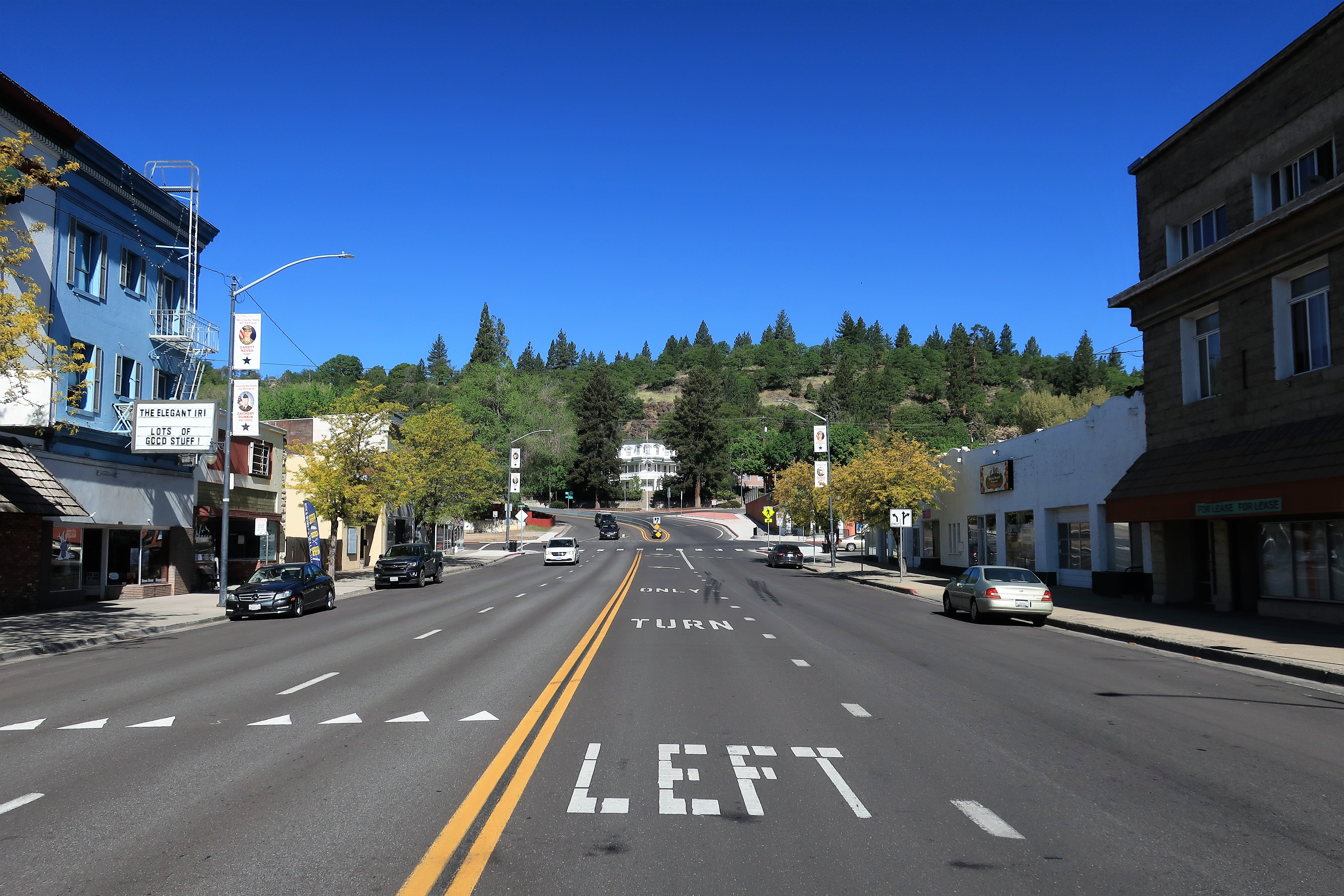
…next stop Austin, Nevada, population about 150. Austin is another old mining town but it has a disproportionate number of churches for its size. Notice the Trump flag on the rectory next to one of the churches. I had coffee at the “International Café“ where the sign on the door said “no masks allowed inside” and “Maskless club members only.” I love it!
Beyond Austin, the Loneliest Road crosses a few more mountain ranges, a few more sagebrush valleys, and even a dry lakebed or two until it reaches the town of Fallon, Nevada. Fallon has a Naval Air Station installation where the US Navy trains its pilots to do bombing runs and the like. So Fallon is sort of a big city compared to Ely, Eureka, and Austin.
Beyond Fallon, US 50 makes its way back to civilization proper when it reaches Carson City, Nevada, the state capital. I’ve been to Carson City several times over the years, but now I’m seeing actual suburban housing developments outside of town. This is new.
Beyond Carson City, US 50 crosses into the Sierra Nevada mountains to reach the shores of Lake Tahoe and the California state line. Although US 50 continues on to West Sacramento, California, this feels like the end of the road right here.

Harrah’s is my casino of choice in Stateline, Nevada. The top floor of Harrah’s features Friday’s Station Steak & Seafood Grill. They have a classy bar with great bartenders — I asked for a gin martini with a pearl onion and it’s “no problem.”
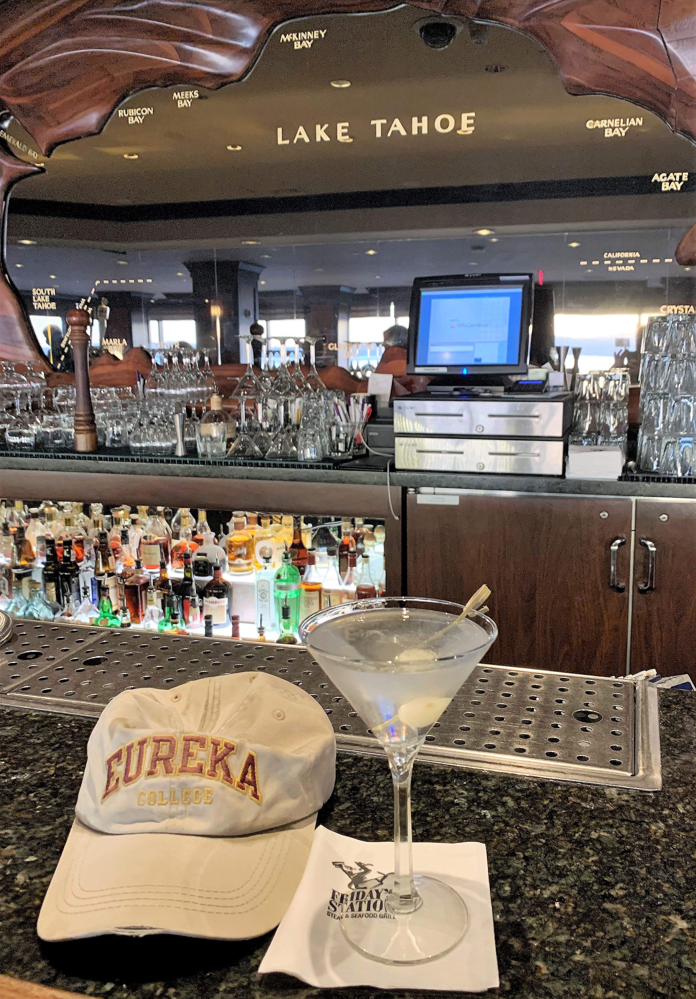
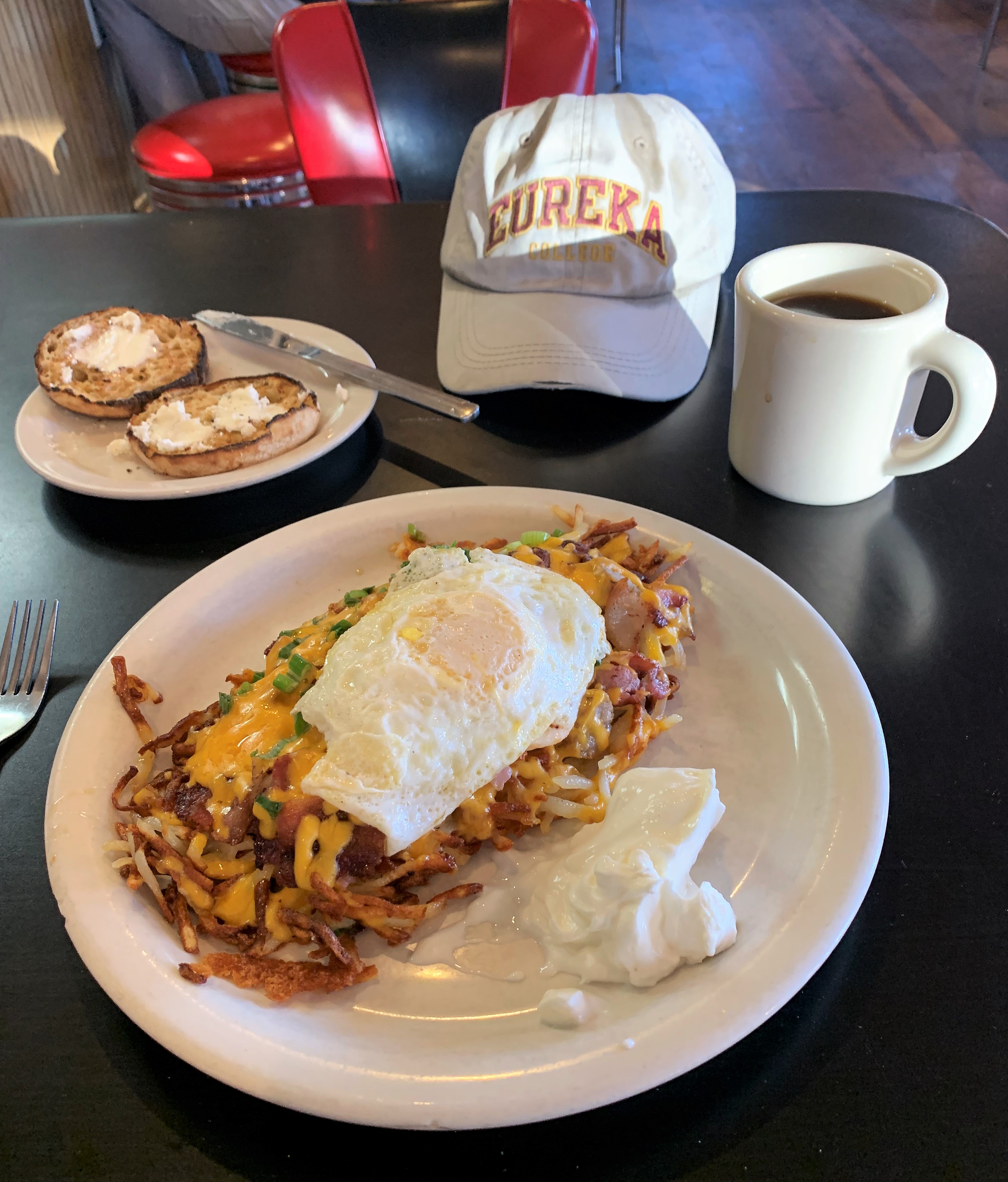
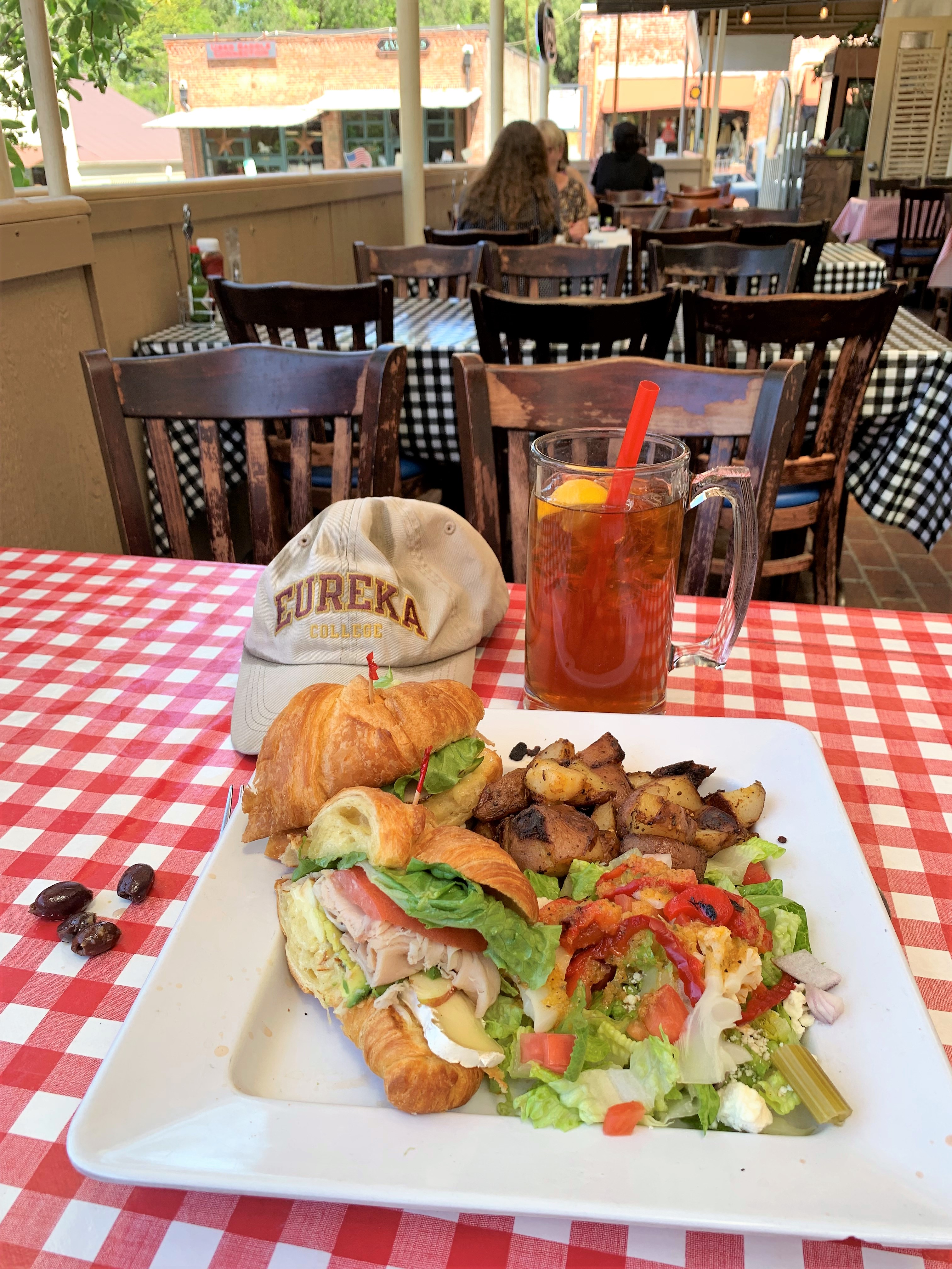
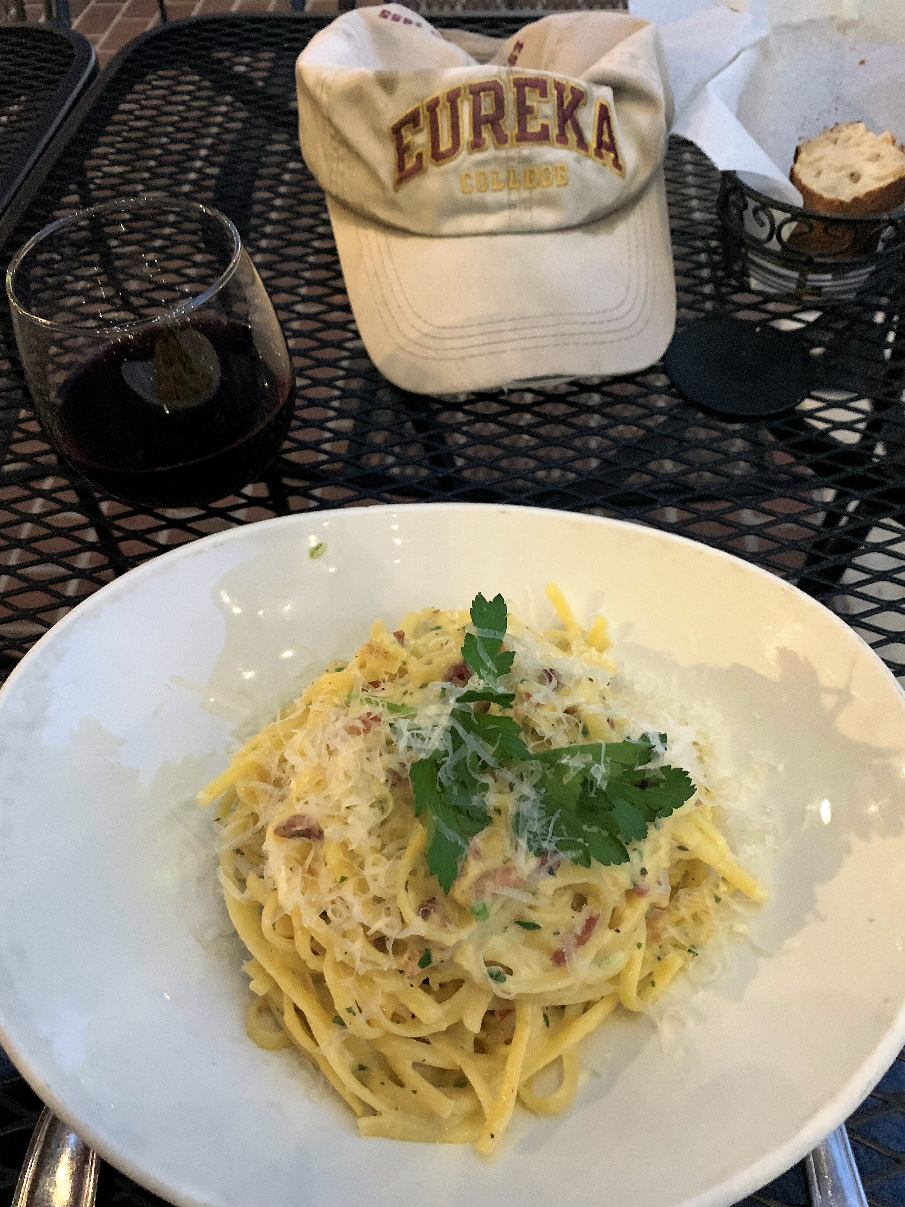
I keep putting that ratty old Eureka College baseball cap in my pictures. Why? Here’s why: Eureka College (Illinois) is President Ronald Reagan’s alma mater and I bought this cap at their campus bookstore. I was originally planning to take this week as a ROADTRIP pilgrimage to purchase a replacement, but the weatherman predicted a cold and rainy Midwest for early May. So maybe I’ll make that pilgrimage later this summer.
Links:
Loneliest Road in America
Hotel Nevada in Ely, Nevada
Ely, Nevada in Wikipedia
Owl Club Bar & Steakhouse, Eureka
Eureka, Nevada in Wikipedia
Austin, Nevada in Wikipedia
Harrah’s Lake Tahoe
Tuesday, May 11, 2021. Day 4: Stateline, Nevada to Auburn, California
I stayed at the MontBlue Resort in Stateline instead of Harrah’s, just to be different this time. Meh.
Today would be the final day of following US 50 to its terminus, but I couldn’t abandon Nevada for California before seeking an old-fashioned breakfast diner on the Nevada side. I found it: the Red Hut Cafe in Stateline. They serve rosti: a Swiss dish that’s mostly hash browns but with cheese, bacon, ham, and sour cream added on the side.
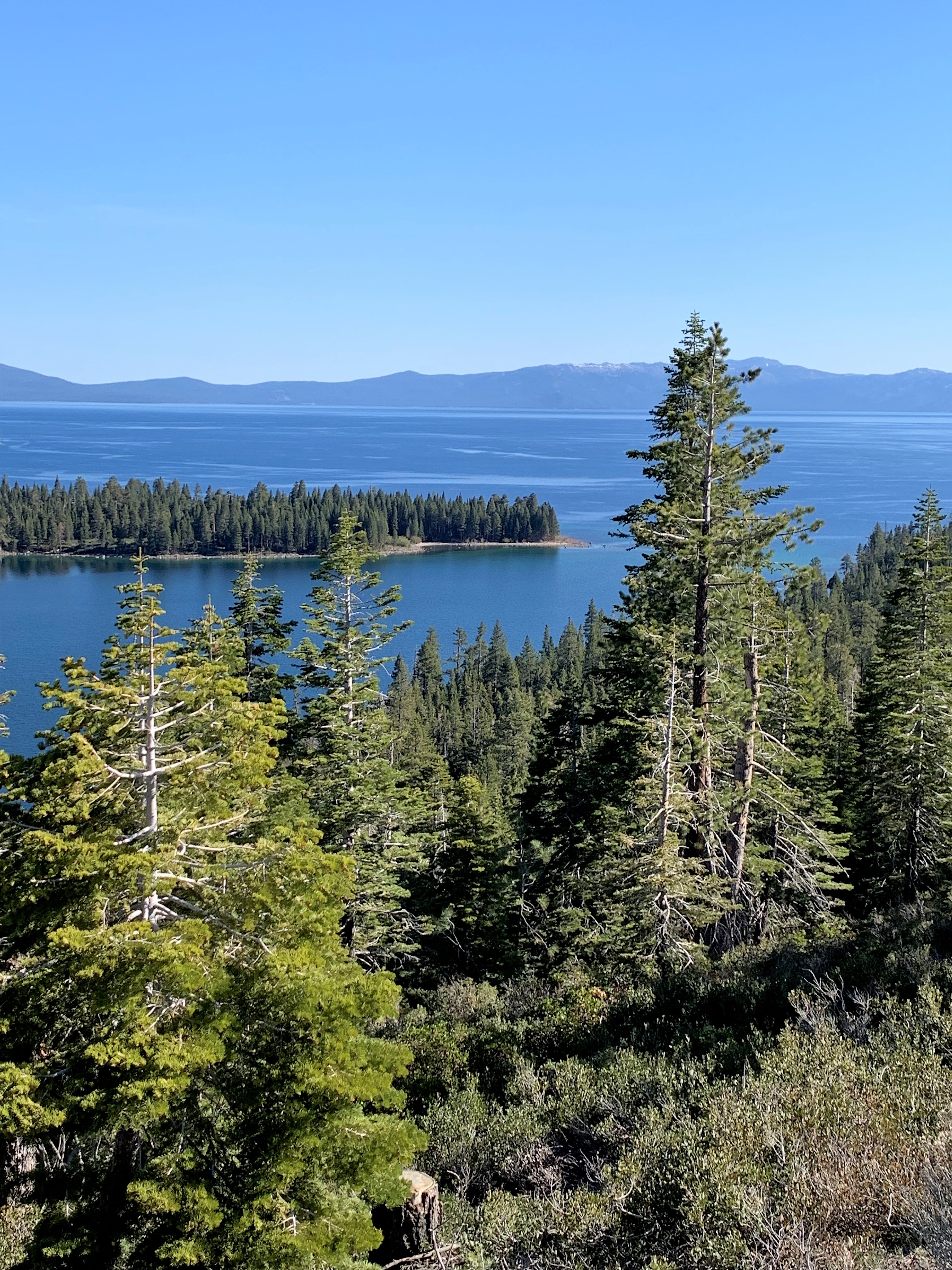
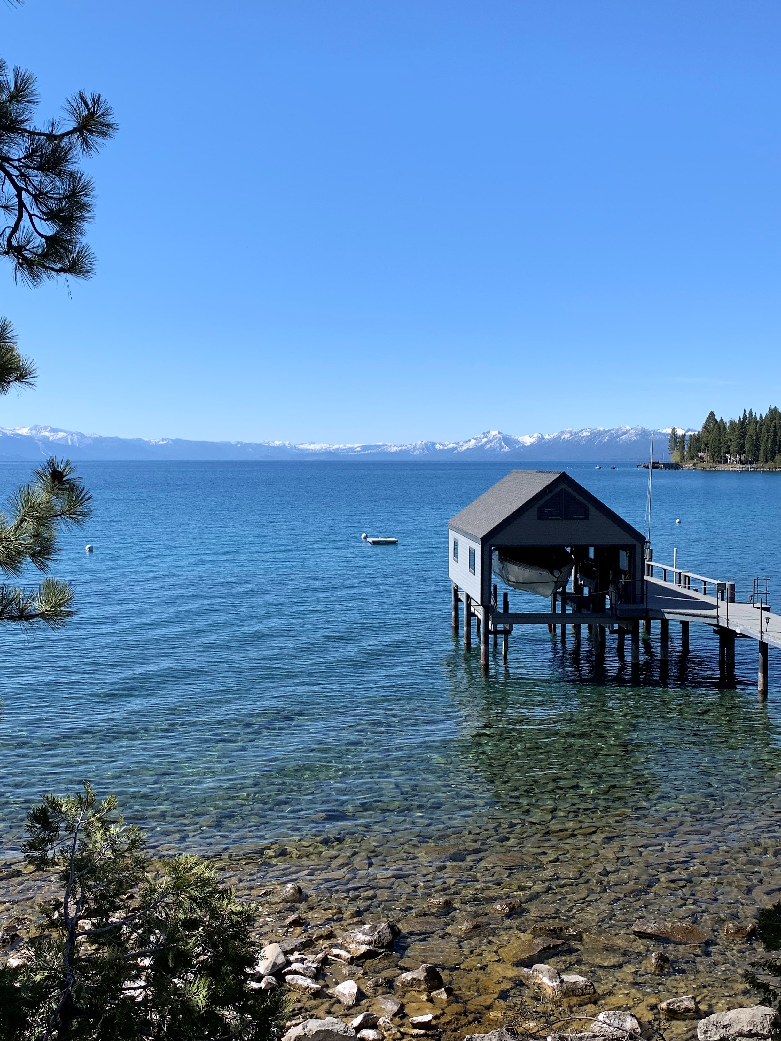
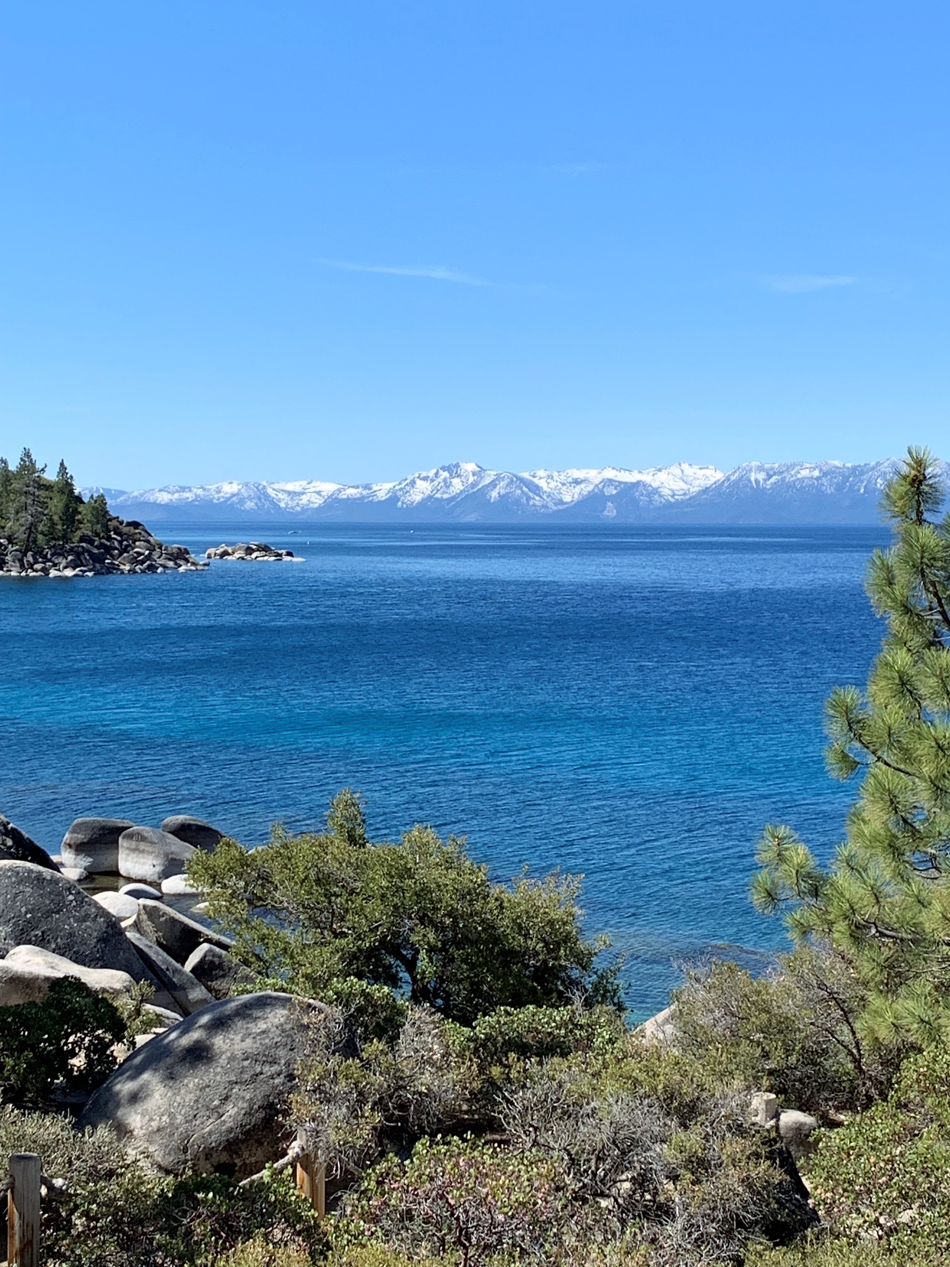
With a full and satisfied stomach, I got in the car, got back on US 50, and crossed the state line into California. But then I called an audible — I’m here in Lake Tahoe so why don’t I do a circuit around the lake? The transit took about 2 hours out of my day, but it was worth it for all the photos. Here you go:
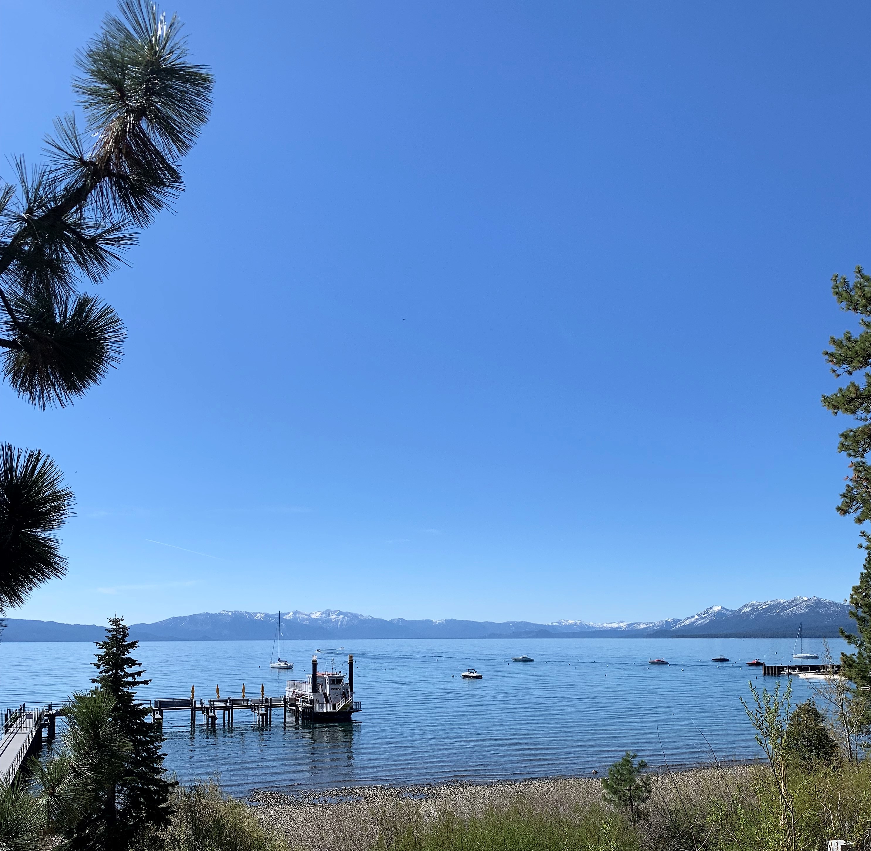
This next photo was my favorite. I think my I-phone captured the green hues of the shallow water very well.
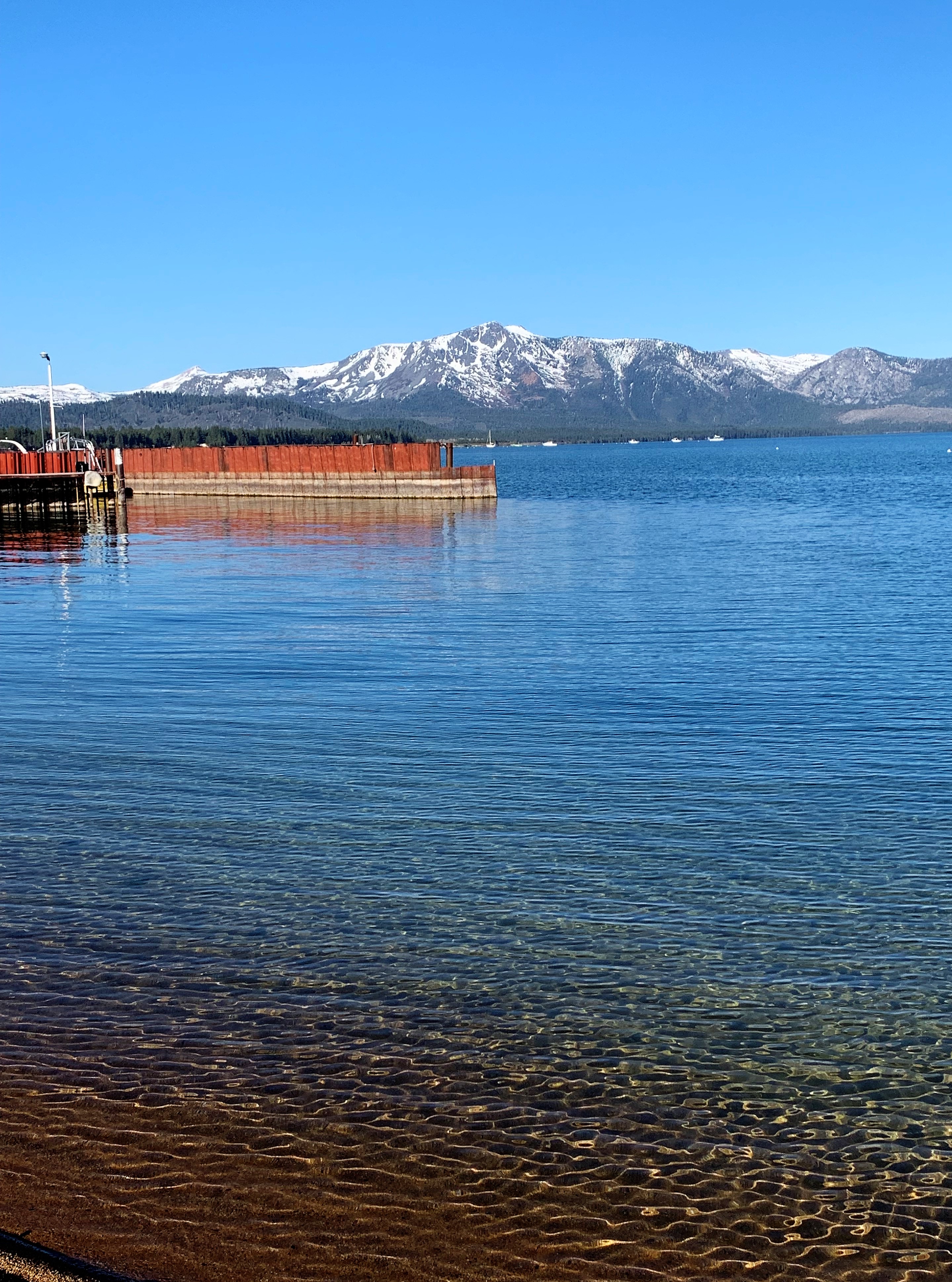
This next one is my second favorite because of the mountains on the other side. Some commenters suggested that the drought was evident from the meager snowcap.
One more before returning to my US 50 agenda:

US 50 is a very scenic drive beyond South Lake Tahoe, California. First, the highway climbs a high pass overlooking the lake. Then after cresting the Sierra Nevada range US 50 follows riverbeds and canyons all the way down the slopes of the Sierra past old gold towns like Placerville and then to Sacramento. Speeds of 55 to 65 mph are maintained throughout. At West Sacramento, California, US 50 terminates at the junction with Interstate 80. Before the interstate system was built, route 50 traversed the remaining miles to its natural terminus in San Francisco by way of Altamont Pass and the San Francisco-Oakland Bay Bridge.
For me today, however, West Sacramento was the end of the line. I can say I’ve driven most of the parts of this transcontinental route — covering the road from Sacramento to Cincinnati in 2 pieces. I’ll finish the final piece — Cincinnati to Ocean City, Maryland — someday.
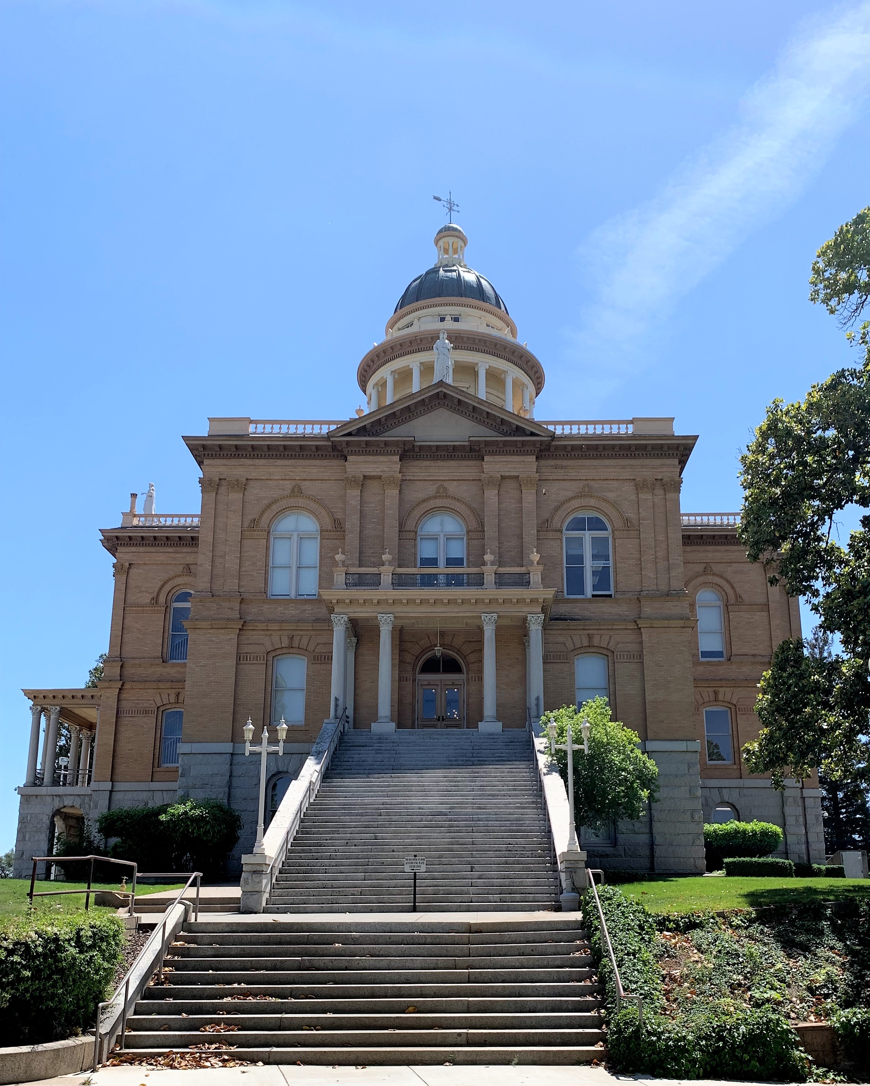
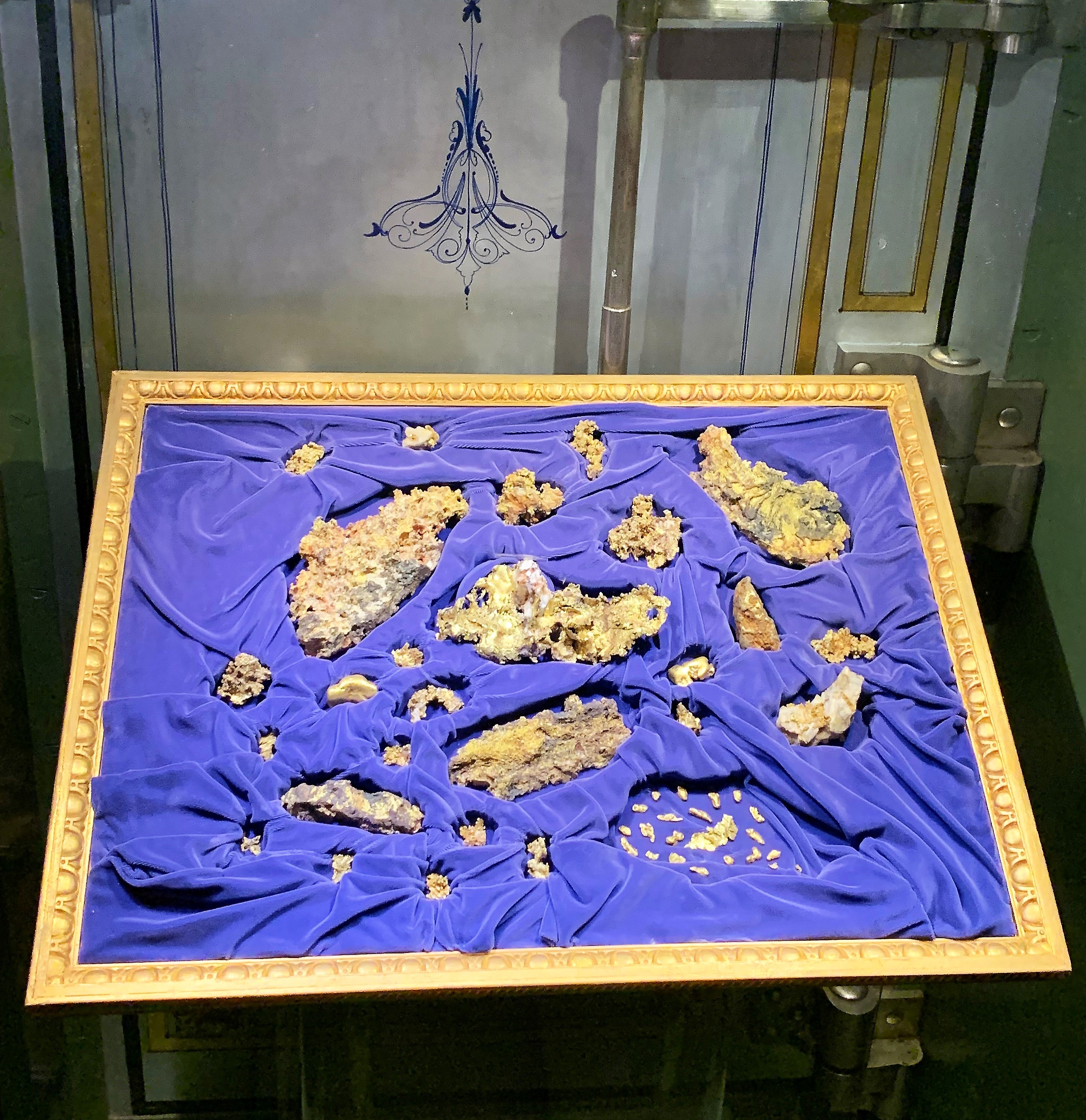
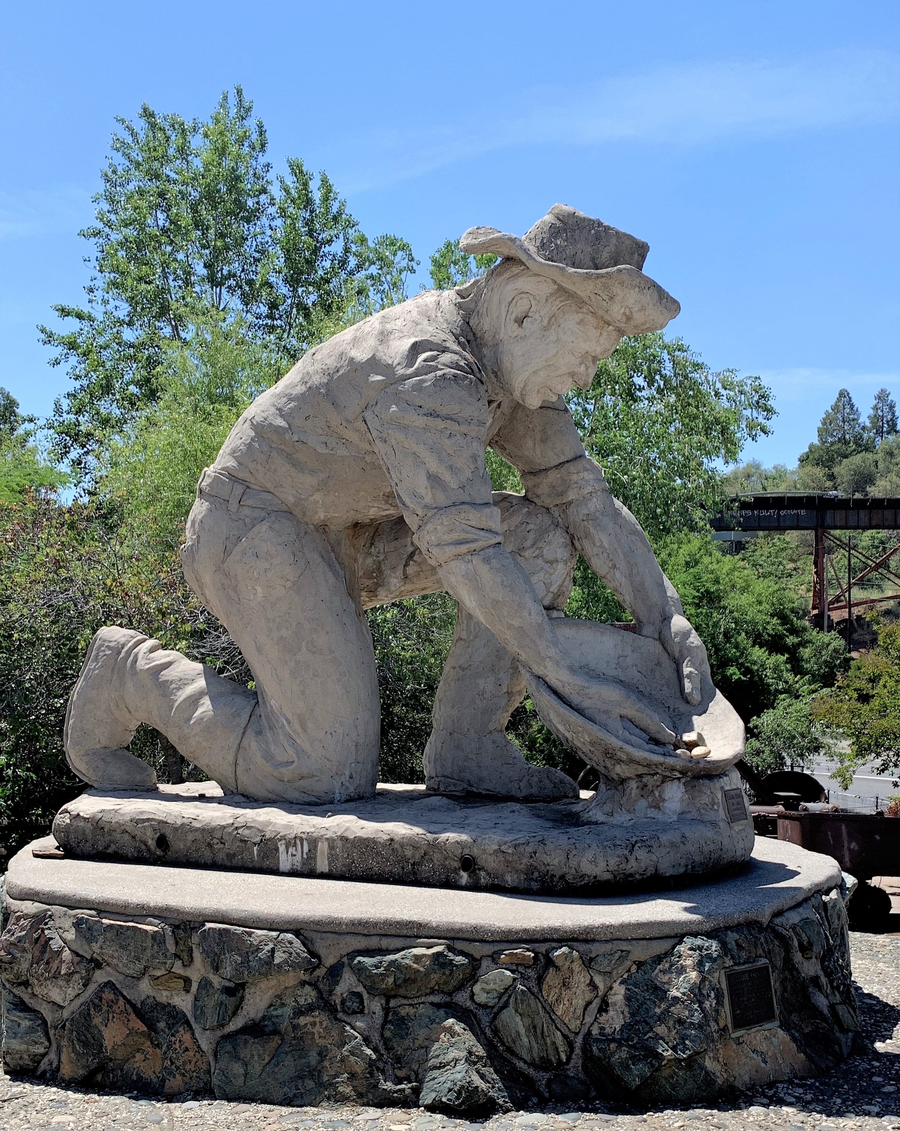
The Gold Rush town of Auburn, California is about 45 minutes east of Sacramento on Interstate 80. This is my next stop. This is Placer County, California, which might be considered the ‘ground zero’ of the California Gold Rush of the 1840s and 1850s. The first gold discovery was in this county near Sutter’s mill. The county seat is Auburn, however, and the county has preserved their stately old courthouse.
Lunchtime in California in May means outdoor dining and something light. Here’s a turkey-avocado croissant with a Greek salad and olives on the side (because I won’t allow olives in my mouth) at the Old Town Grill — in old town Auburn.
I found my hotel room and took a nap before dinner. I chose a bed and breakfast this time by booking a room at the Powers Mansion Inn in Auburn. Coming up the walk I was greeted with a sniff of my bags by a white German shepherd. Gentle, friendly, and harmless. I didn’t meet the human innkeeper until the next day.
After a nap, I chose a little Italian dining place (tre Pazzi trattoria) for some carbonara & chianti. I lived in Southern California some 30 years ago. In the time that’s passed, I’ve forgotten how extremely pleasant evenings are in these California towns – while it’s hot all day the air cools down at dusk without getting cold — and there are no flying bugs to disturb you.
Links:
Red Hut Cafe, Stateline
City of Auburn, California
Old Town Grill, Auburn
tre Pazzi trattoria, Auburn
Powers Mansion Inn, Auburn
Wednesday, May 12, 2021. Day 5: Auburn to Susanville, California
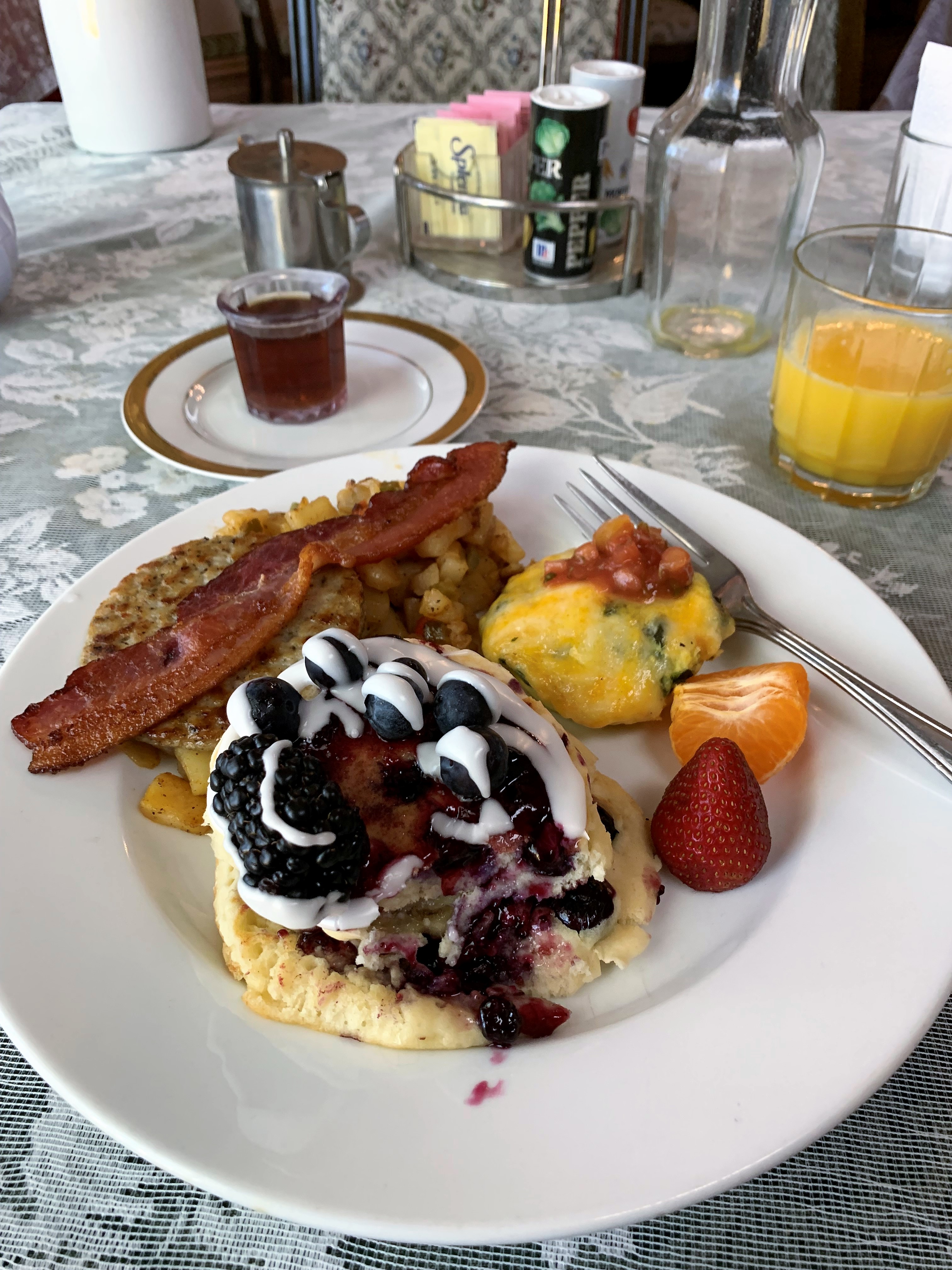
The Powers Mansion Inn in Auburn doesn’t serve breakfast until 9:30, but one might say it’s worth the wait:
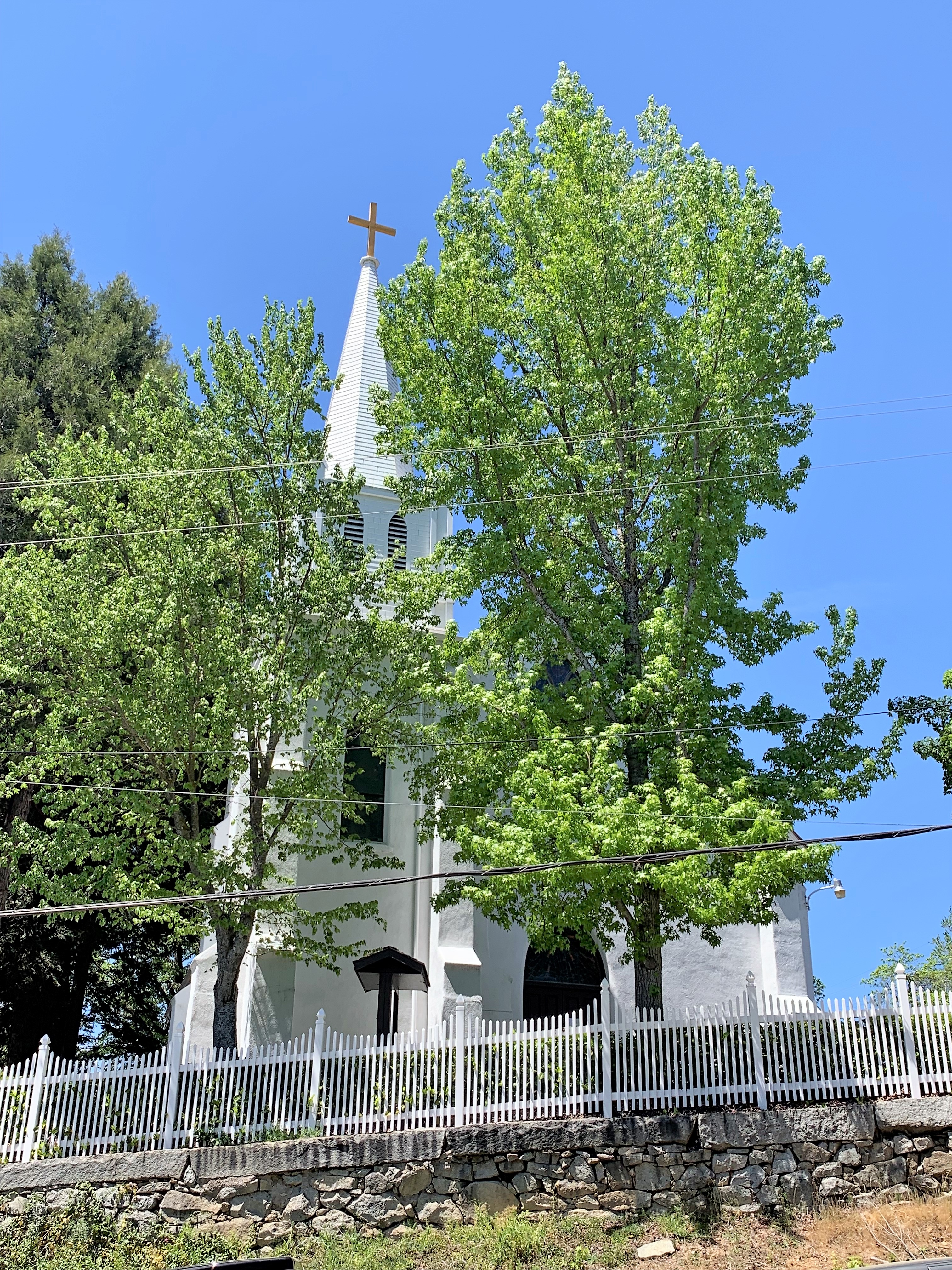
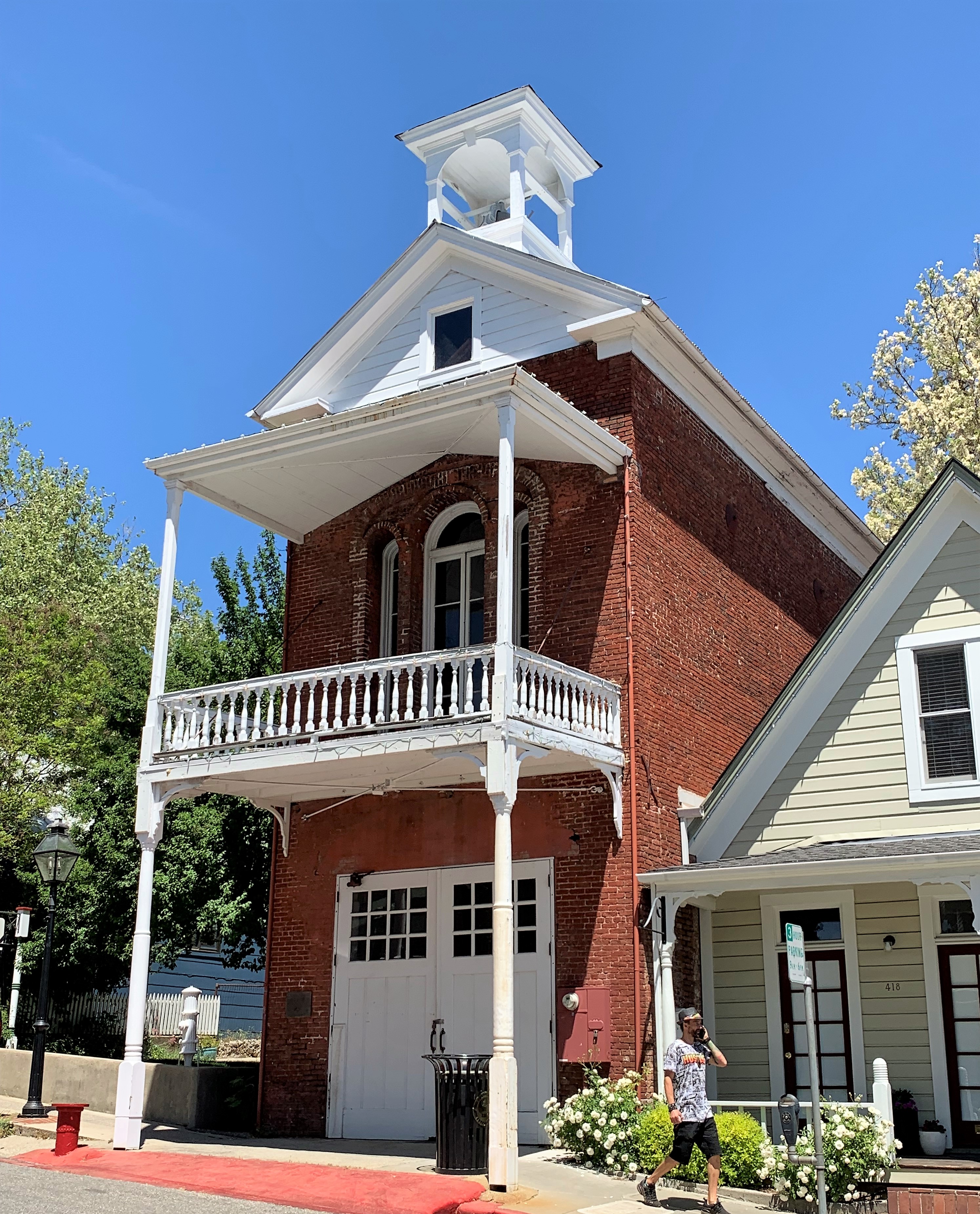
After Auburn, my next Gold Rush town was the little burg of Nevada City, the county seat of Nevada County, California. The population here is about 3,000 and most of them seemed to be running shops in the town’s 19th Century buildings.

Some of the best examples of architecture seem to be old churches and fire stations.
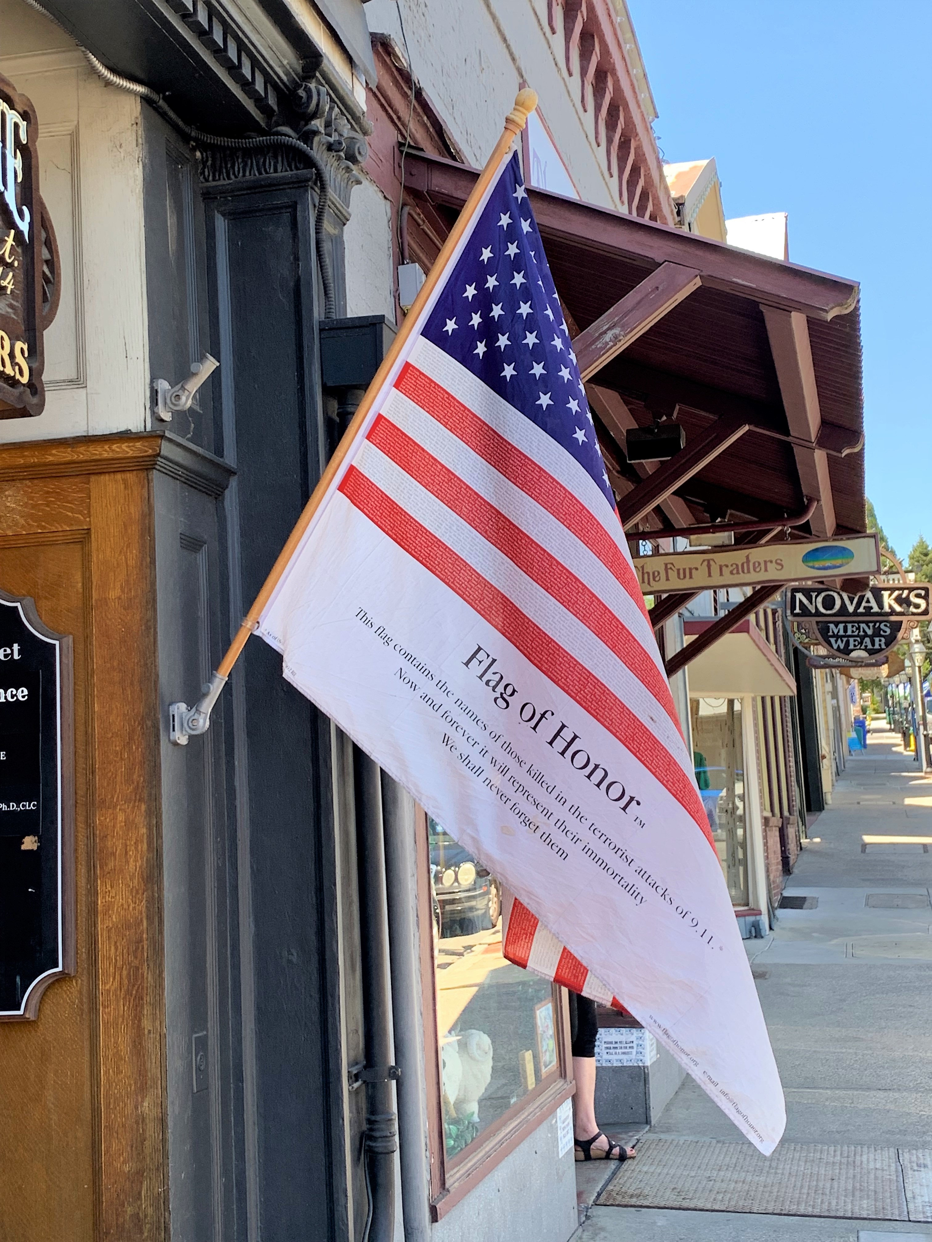
One merchant let us know he hasn’t forgotten:
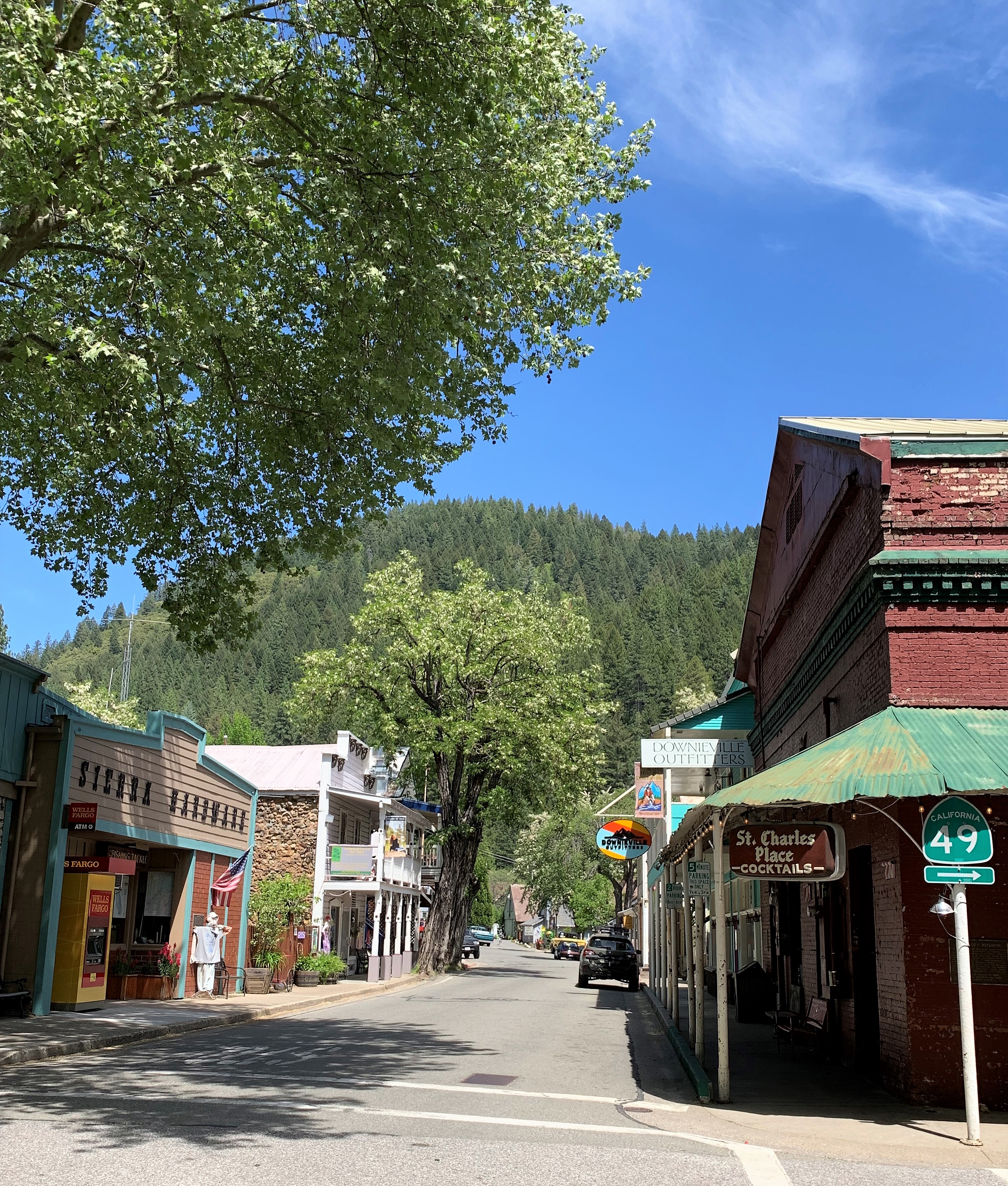
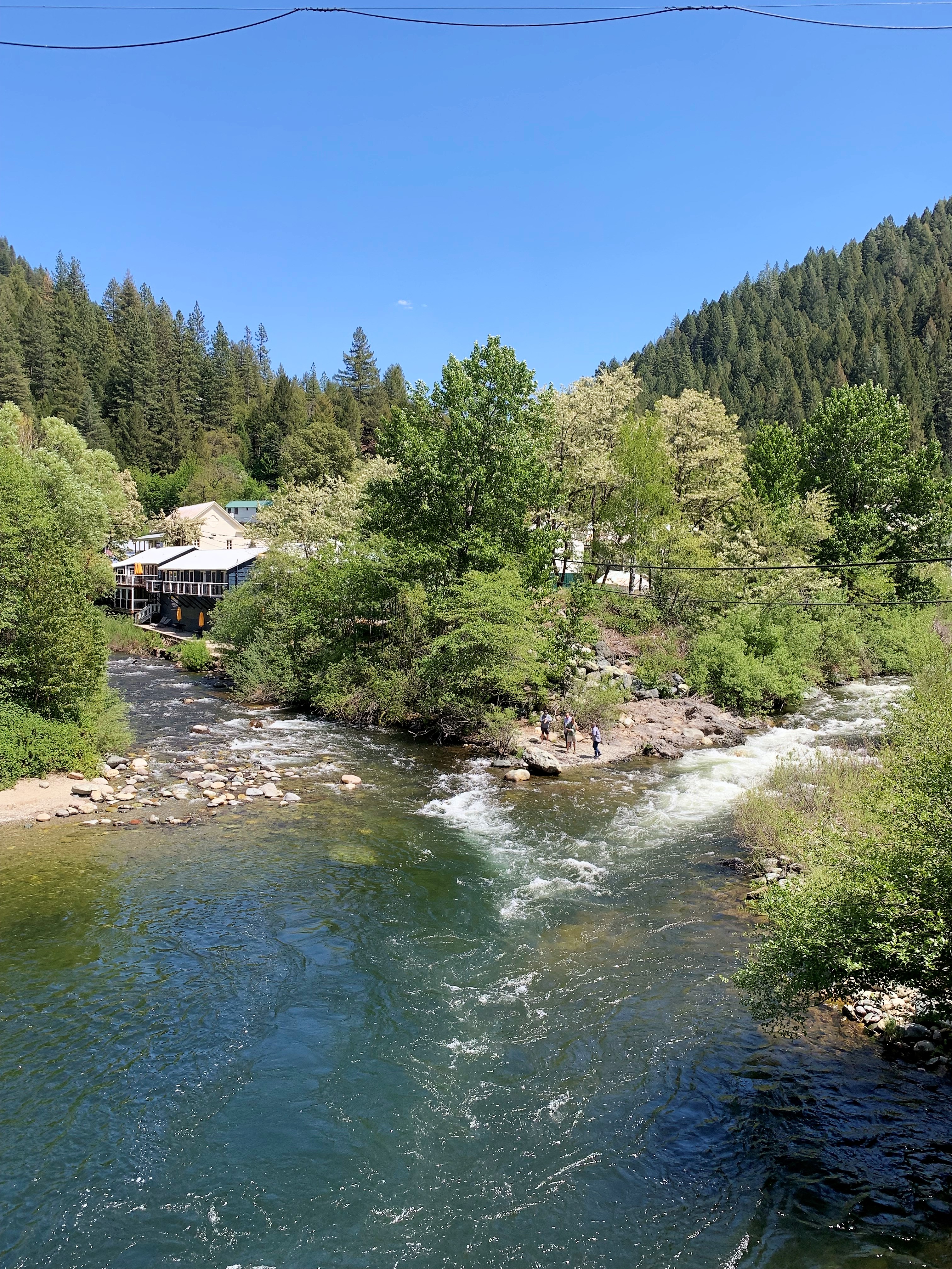
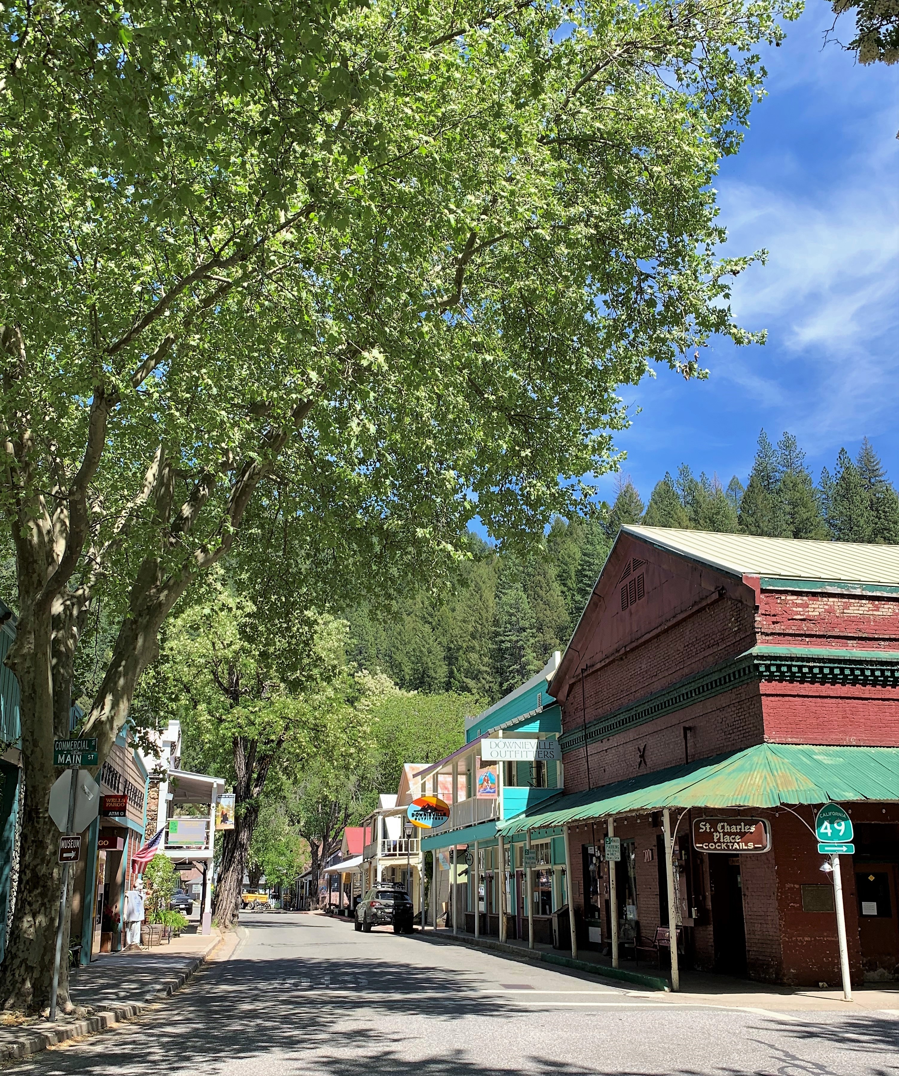
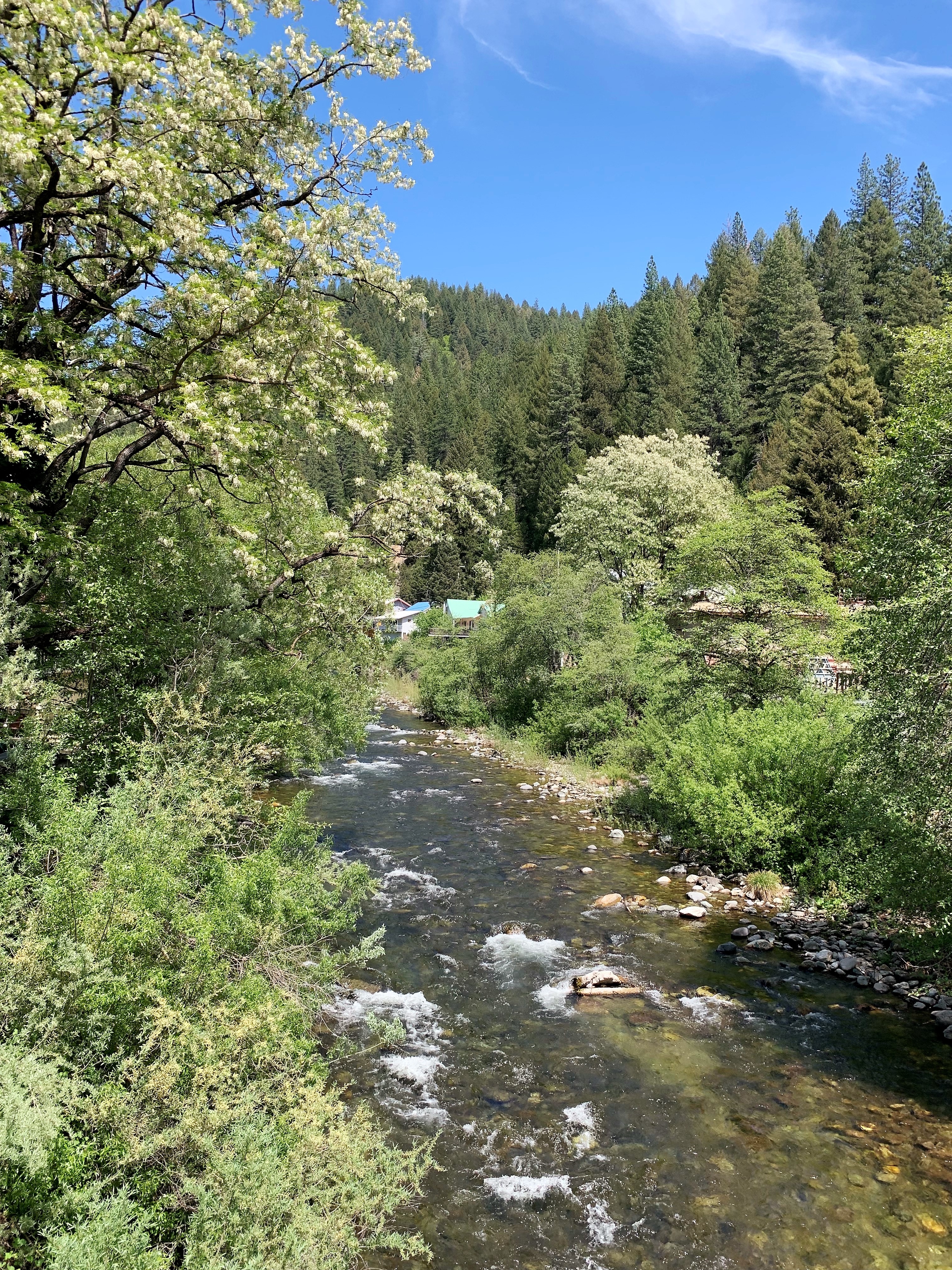
Following the winding roads north of Nevada City, it took me an hour to reach Downieville, the county seat of Sierra County. I took a lot of photos here; there wasn’t a way to take a bad one. “Now you’re Touring…it’s Gorgeous all along CA 49 in the Mother Lode country…” said Tom Matthews.
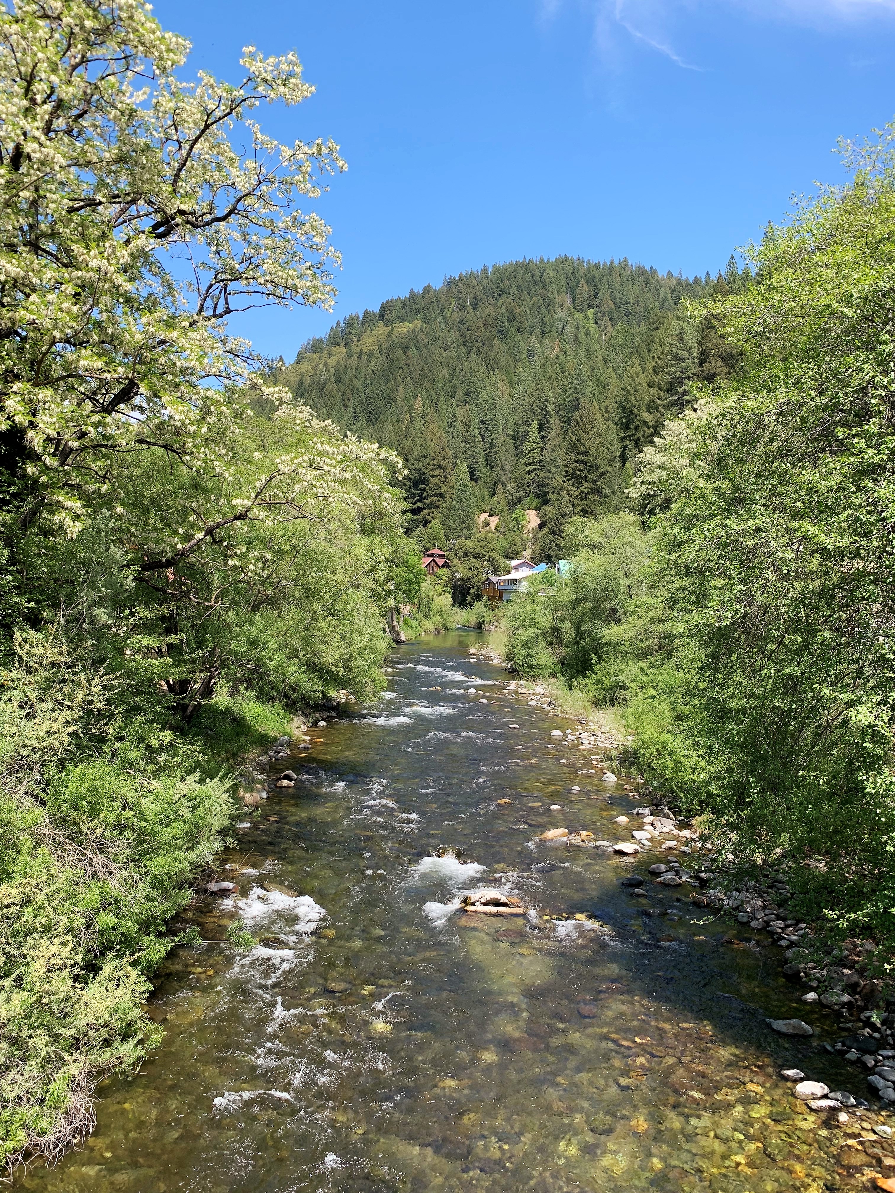
Downieville lies at the junction of the Downie and North Yuba Rivers, but the rivers’ names have changed over the years. As I explained to Philip Jordan, that’s the Downie River on the left meeting the North Yuba River on the right. It used to be that the whole system was considered the North Fork of the Yuba River and the confluence in the picture would be the North Fork of the North Fork of the Yuba meeting the South Fork of the North Fork of the Yuba River. But that just confused everyone so they re-named one of the tributaries the Downie River, and the North Fork of the Yuba River became just the North Yuba River.
Downieville has a great founding story as told on one of the historical markers in town. In the fall of 1849, Major William Downie (1820-1893) led an expedition of nine miners (seven of them African American men) up the North Fork of the Yuba River to this spot where the river forked and called the place “The Forks.” Gold was abundant in the stream and sand bars of the rivers here. Gold was so abundant in fact that Major Downie could afford to offer to “throw a hat-full of gold dust in the street” if the other miners would immortalize the town with his name. And so it was.
I came here at exactly the right time of year. Many of the trees along the riverbanks were in bloom, and the perfume from their flowering leaves was simply overwhelming. I’m sorry the pictures can only hint at the aroma of a gorgeous spring mountain day in the Sierras.
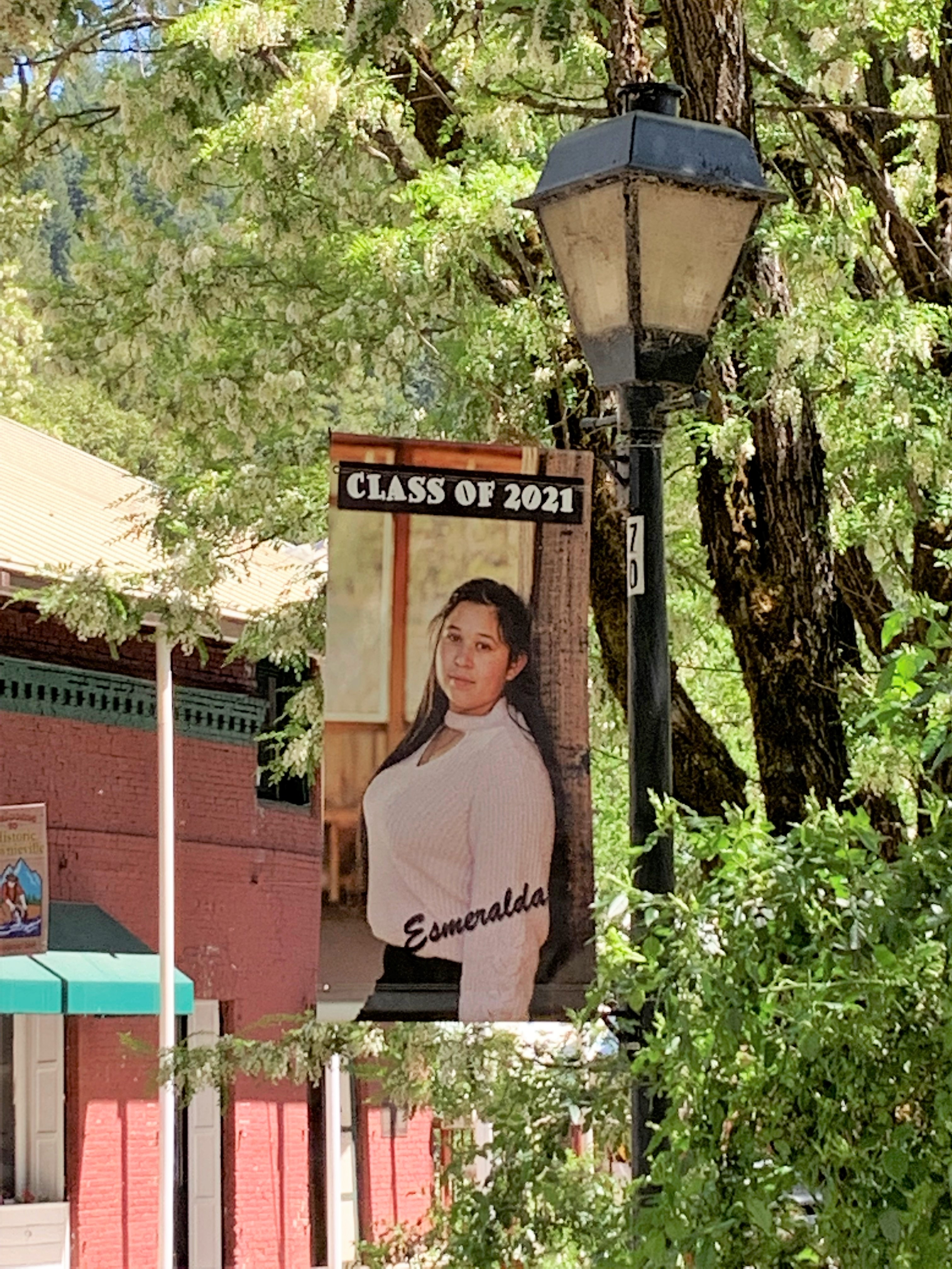
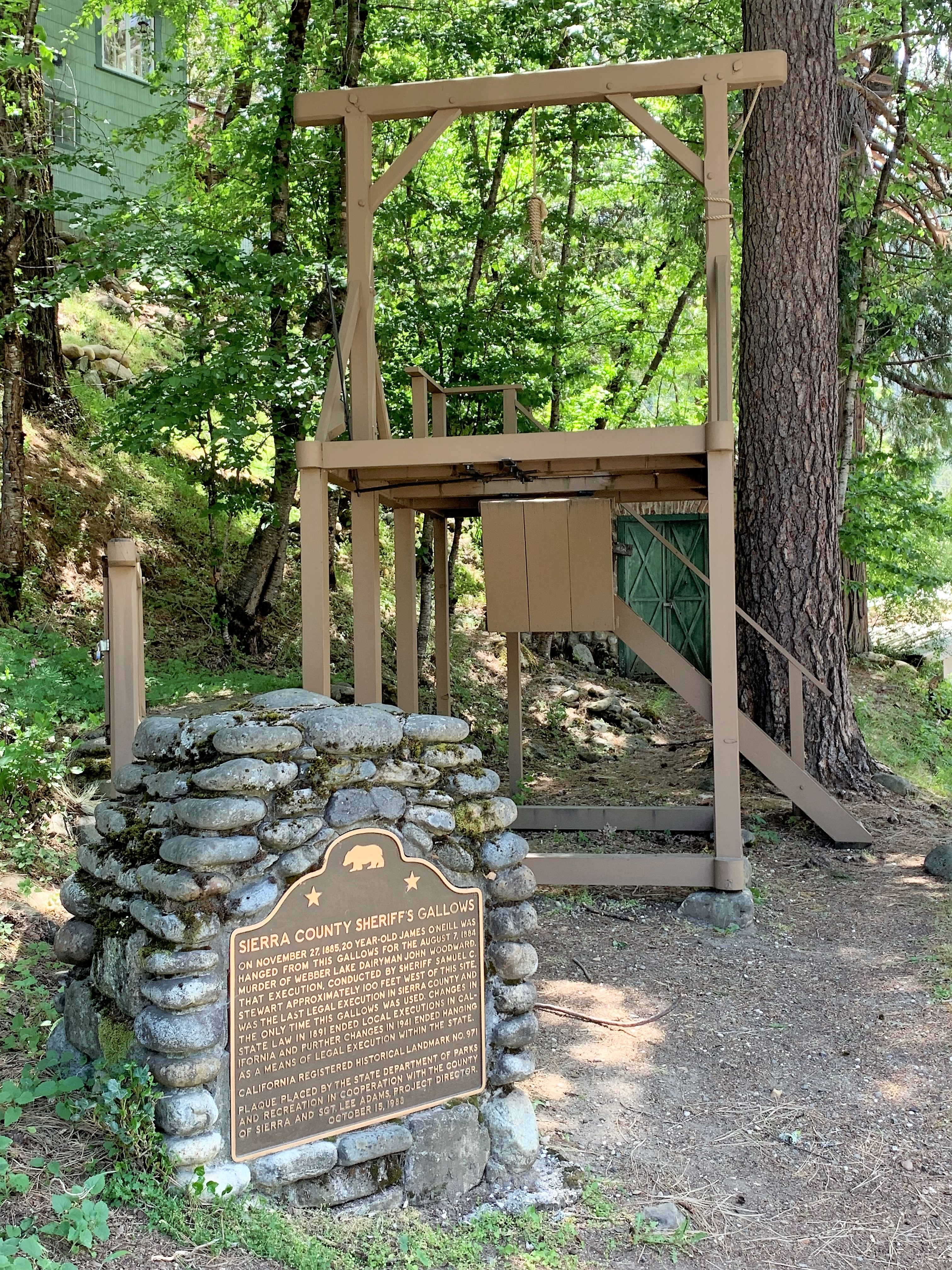
Although this is an idyllic place (and how!), justice had to be swift and certain back in the Gold Rush days.
I was asked by Philip Jordan if the rivers in Downieville were trout streams, but I’m not a fisherman myself so I couldn’t tell for sure. There are some lodging places in town along the river banks, so with a bit of research, I’m sure these innkeepers can provide the information.
As I drove away upstream I saw some more riverside cabins — not so many as to make the area crowded, but not so few as to make it exclusive. Near the crest of the Sierra I took this photograph:
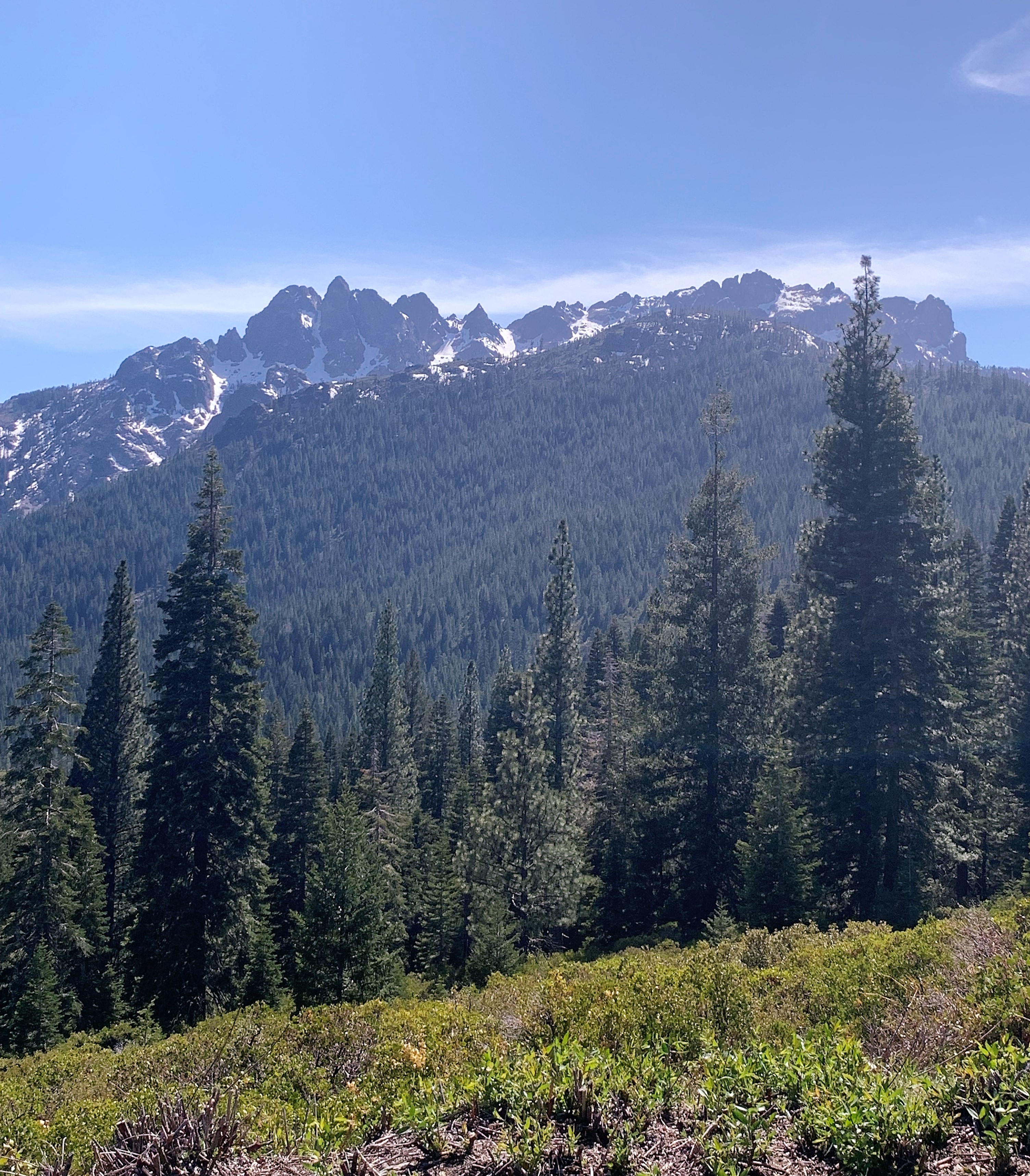
North of Downieville the landscape changes slightly as the Sierra Nevada mountain range gives way to the southern end of the Cascade Mountains. The Cascades are volcanic mountains and there are fewer steep canyons and flatter ground. The county in this region is Plumas County and its seat is the town of Quincy.
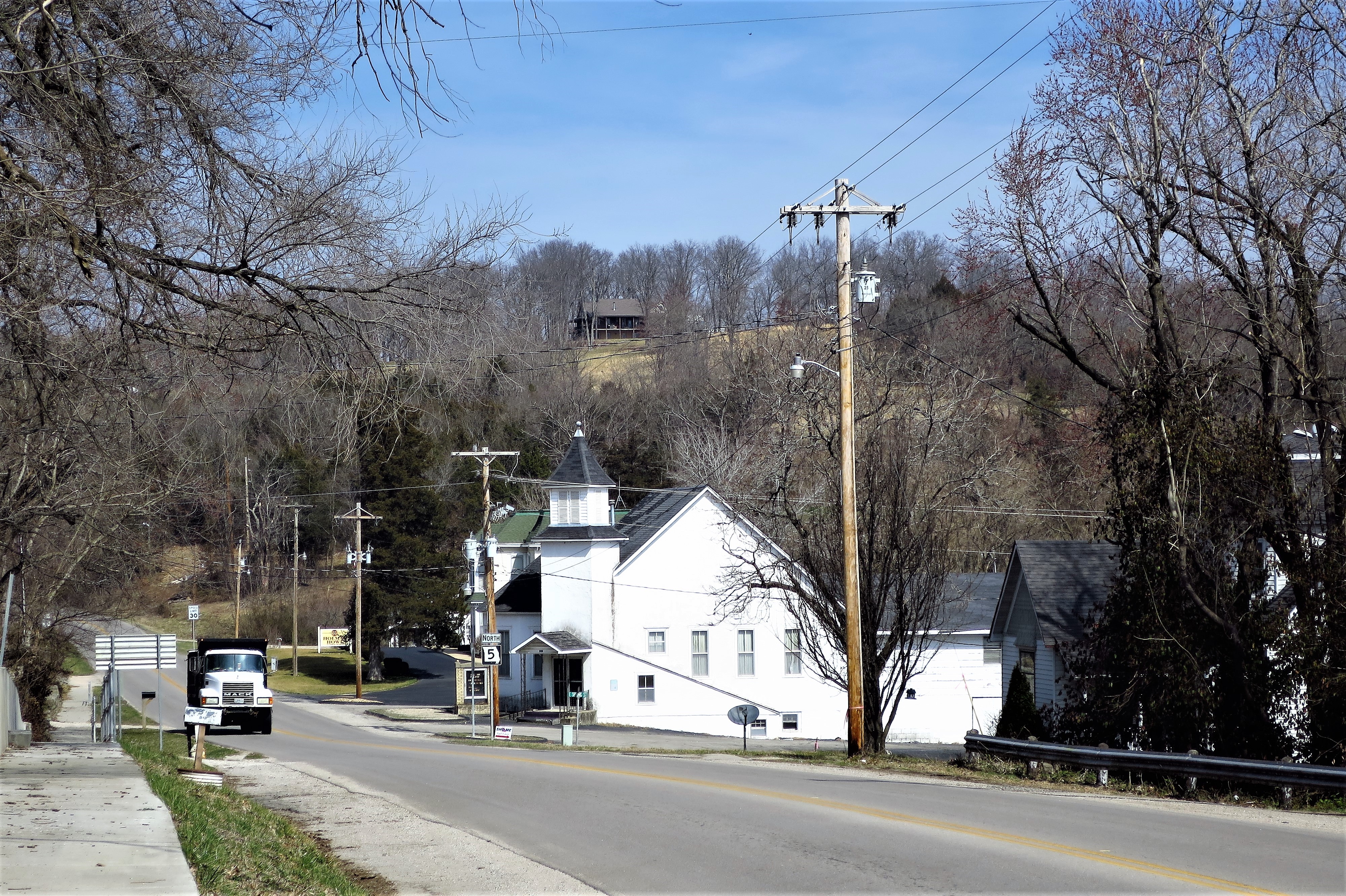
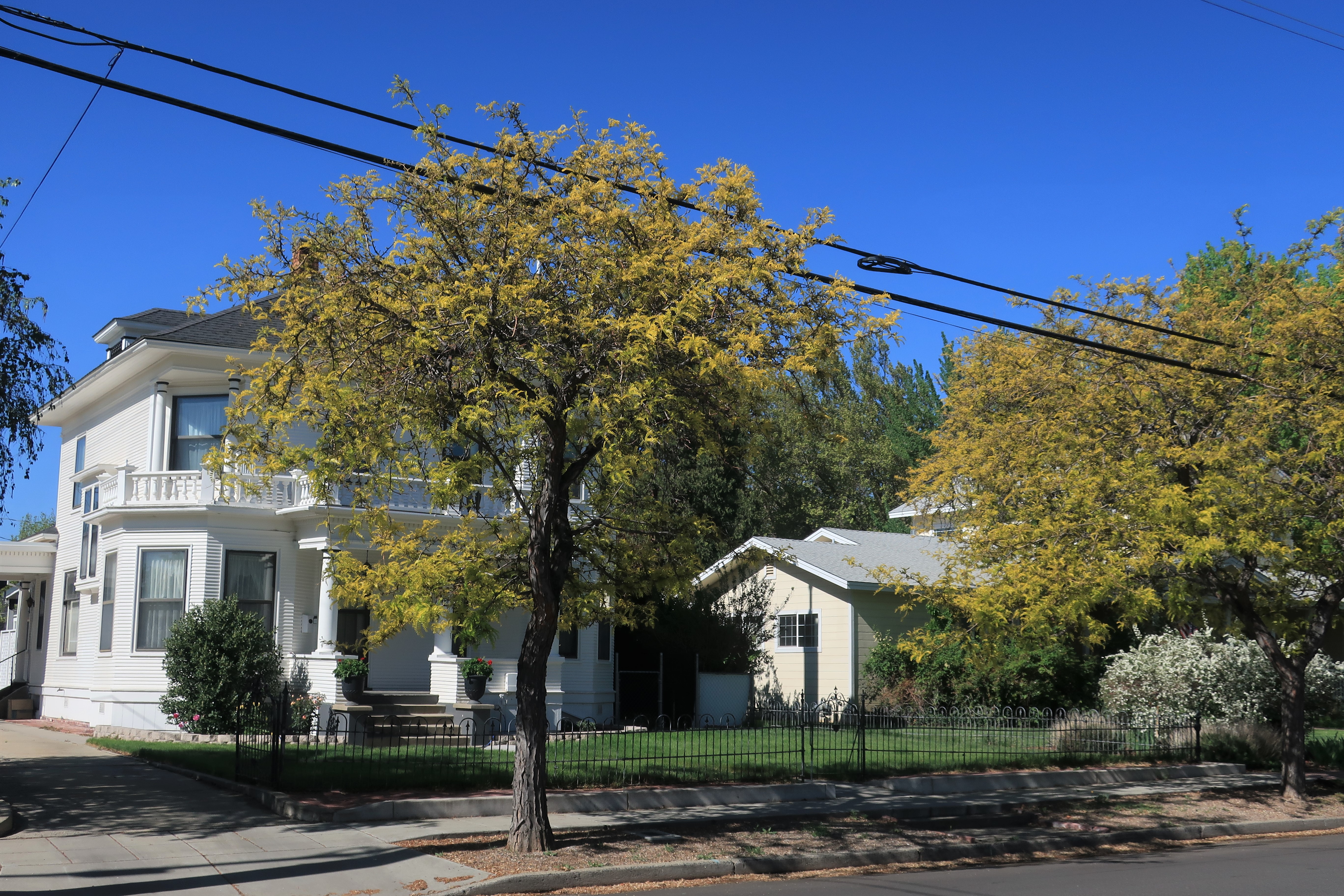
The town of Quincy was named for the Illinois farm of one of its early settlers, James Bradley, which in turn was named for our sixth president John Quincy Adams. Unlike the Gold Rush memories of Auburn, Nevada City, and Downieville, Quincy lies on flat ground and thus exhibits more of a ‘Main Street USA’ look and feel: houses, yards, picket fences, and (giant sequoia) trees:
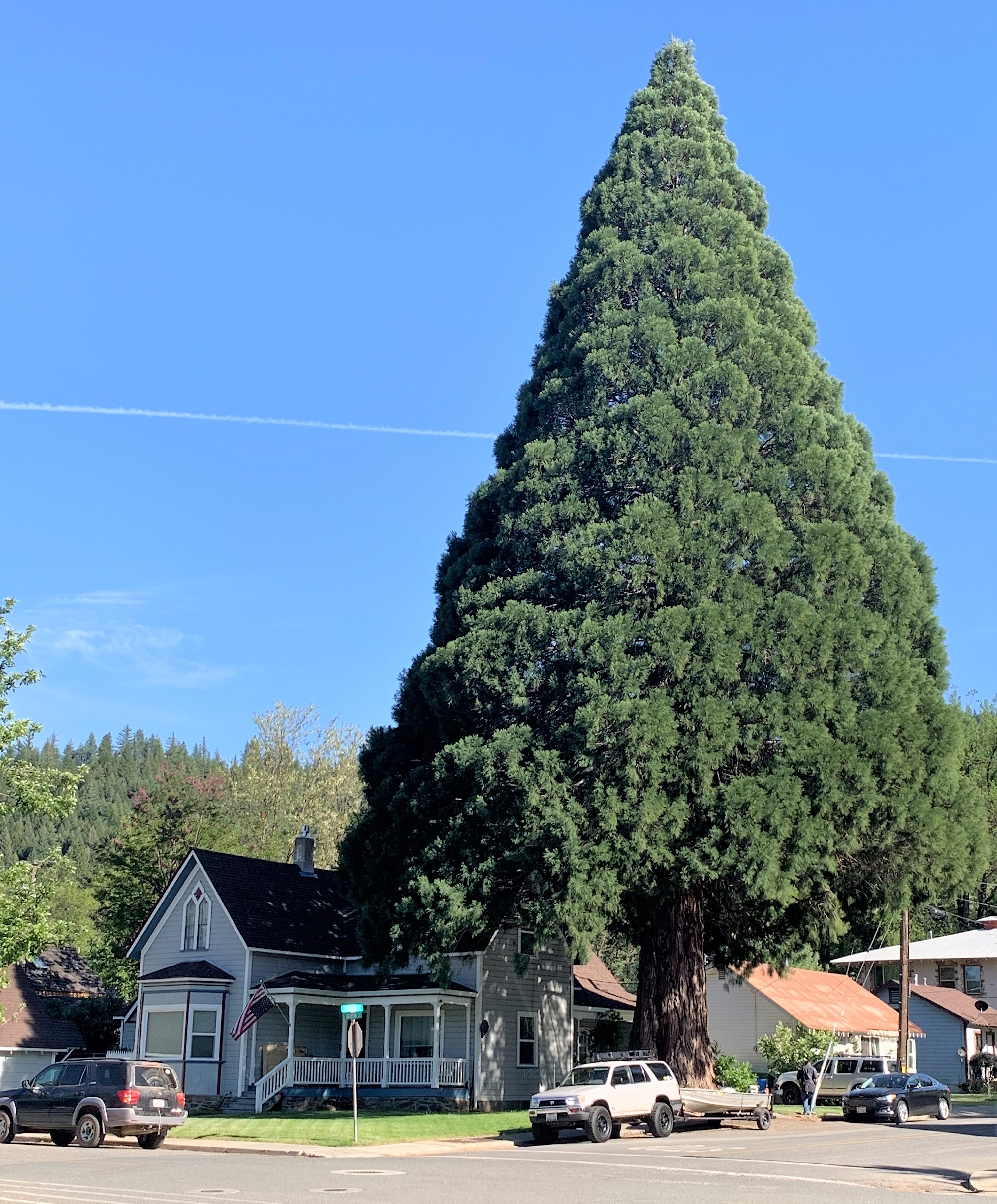
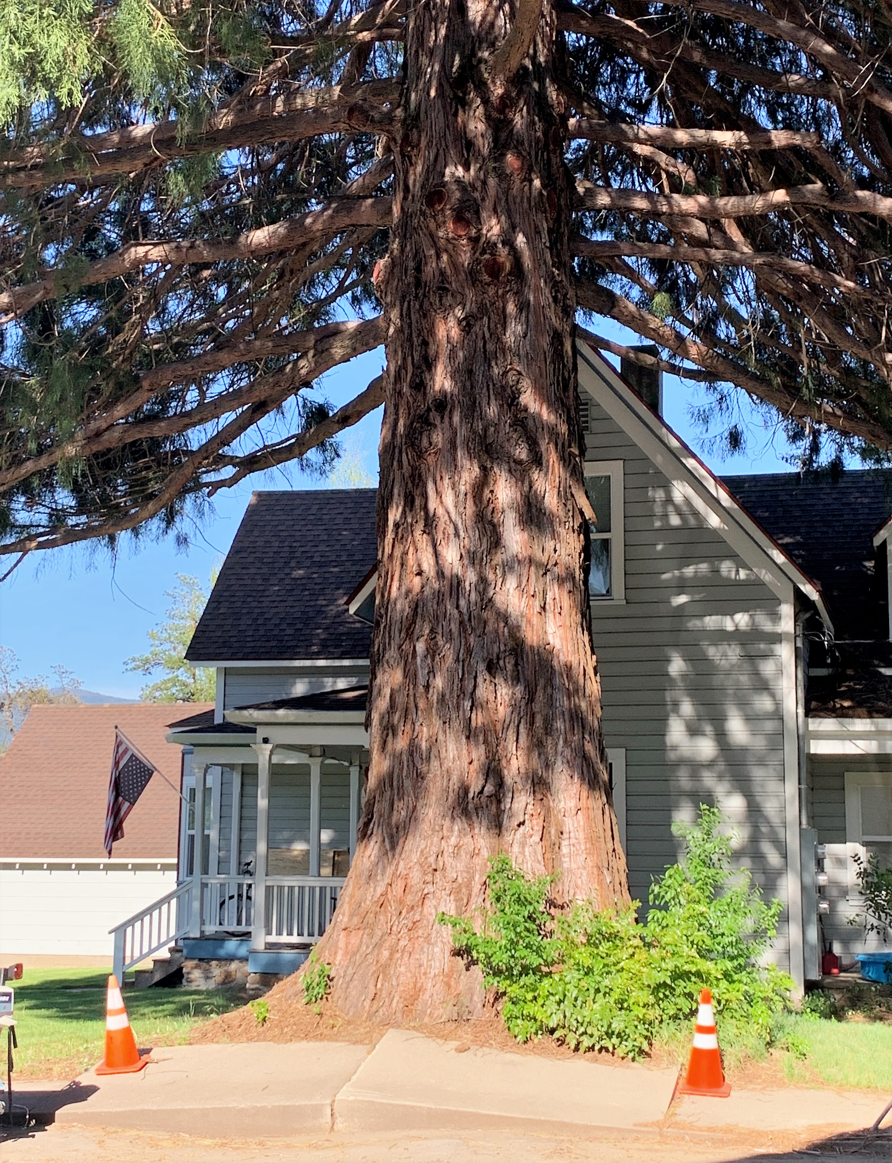
Note the American flag displayed upside-down by the owner of this magnificent tree, denoting that the country is in distress. The sequoia lives longer than we do, thriving through both good times and bad. I hope we can one day say the same.
Today was a long day but a great touring day, a day that if I had to do over again I would split into two days.
Links:
City of Nevada City, California
City of Downieville, California
City of Quincy, California
Thursday, May 13, 2021. Day 6: Susanville, California to Winnemucca, Nevada
Today was a pretty long driving day. Susanville, California is actually east of the mountains and closer to Reno, Nevada than to any California city. It’s a nice town though, a nice place to stop with plenty of places to stay and to eat. Lumber is a big industry here, as is ranching.
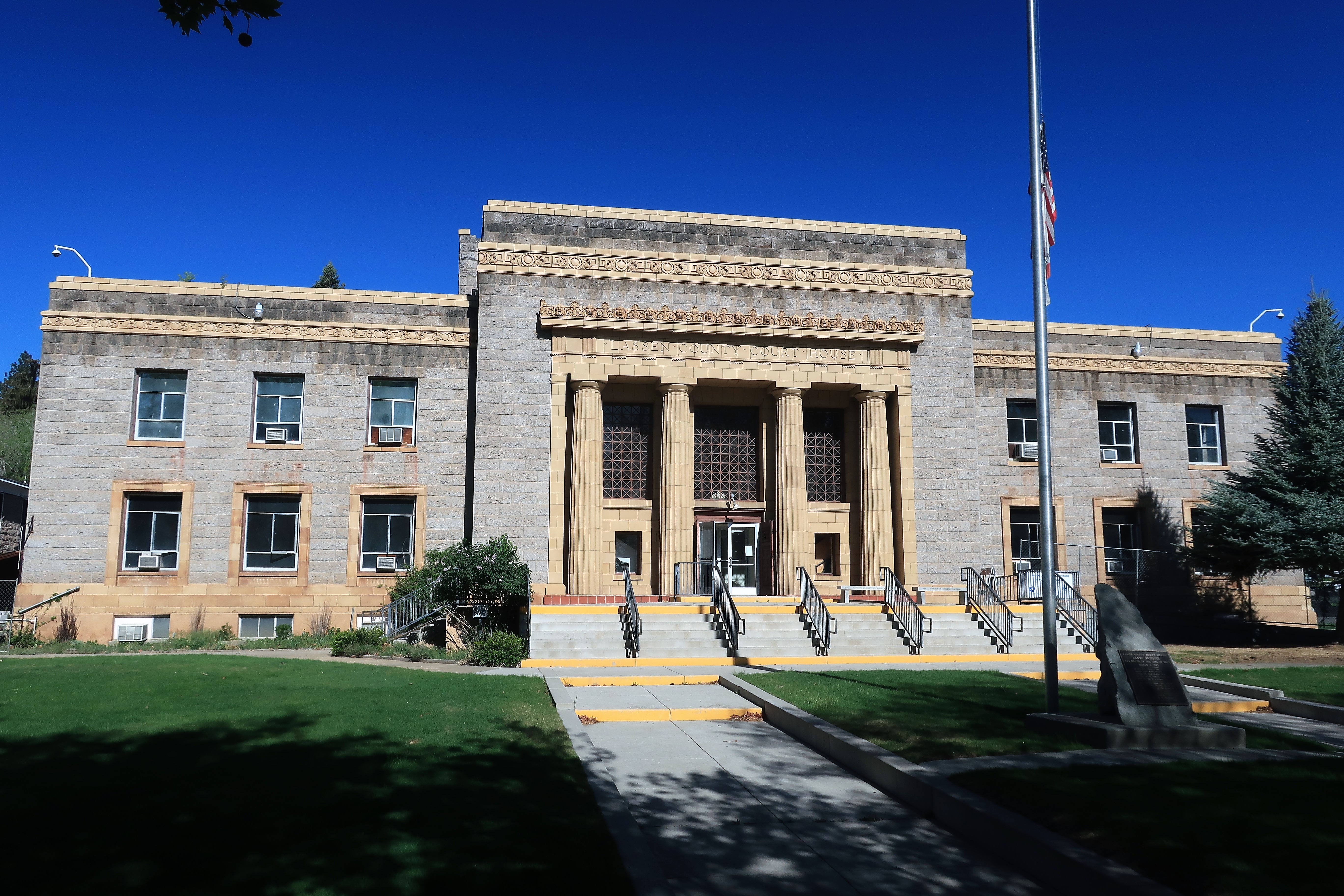
This is a photo of the old Lassen County Courthouse which has since been replaced with a much larger and more secure structure at the edge of town. Many old California courthouses once looked like this one.
I’m off from Susanville to the town of Alturas in Modoc County, California, the county in the far northeastern corner of the state, and probably the most remote of any of California’s counties.
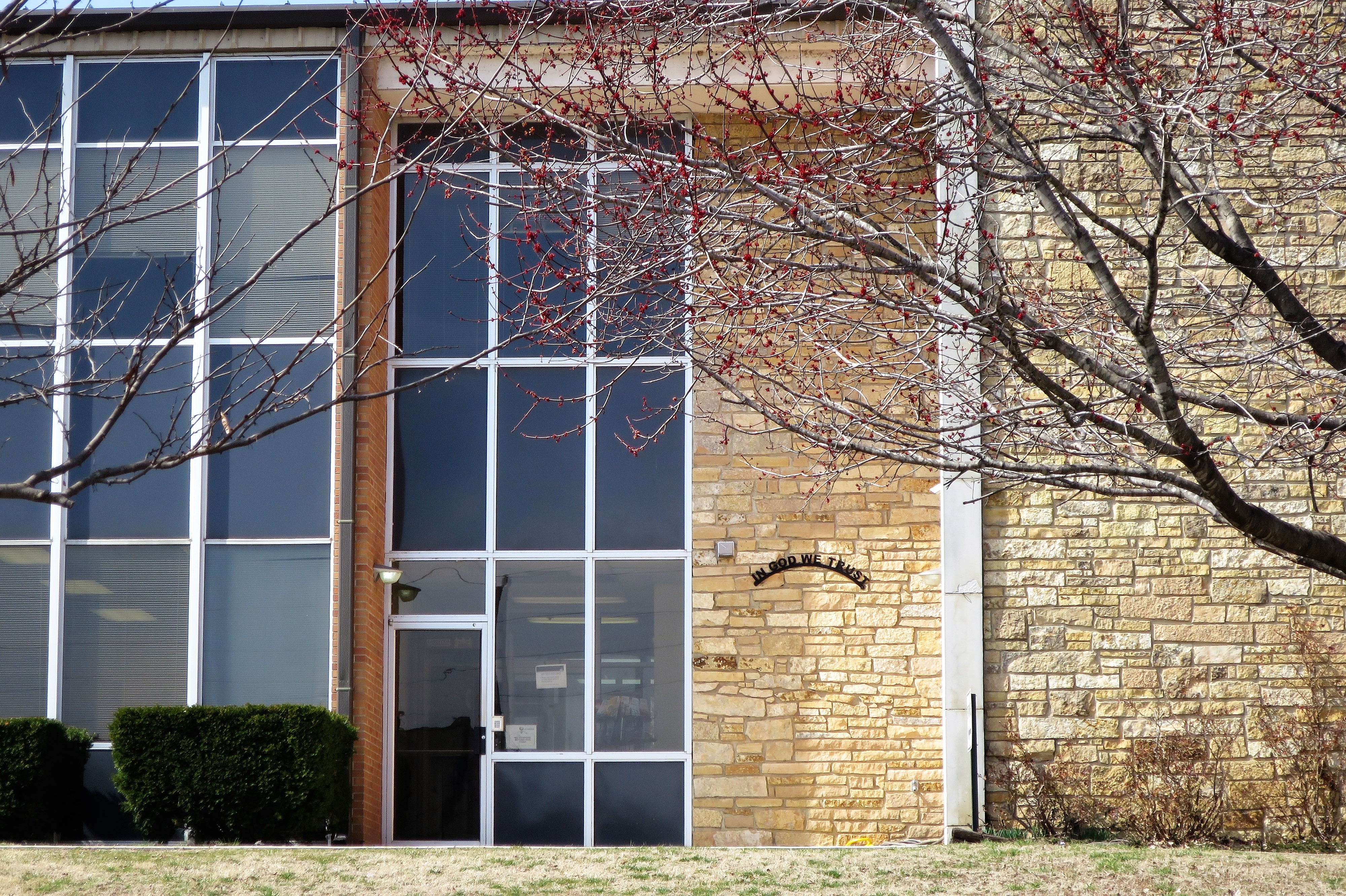
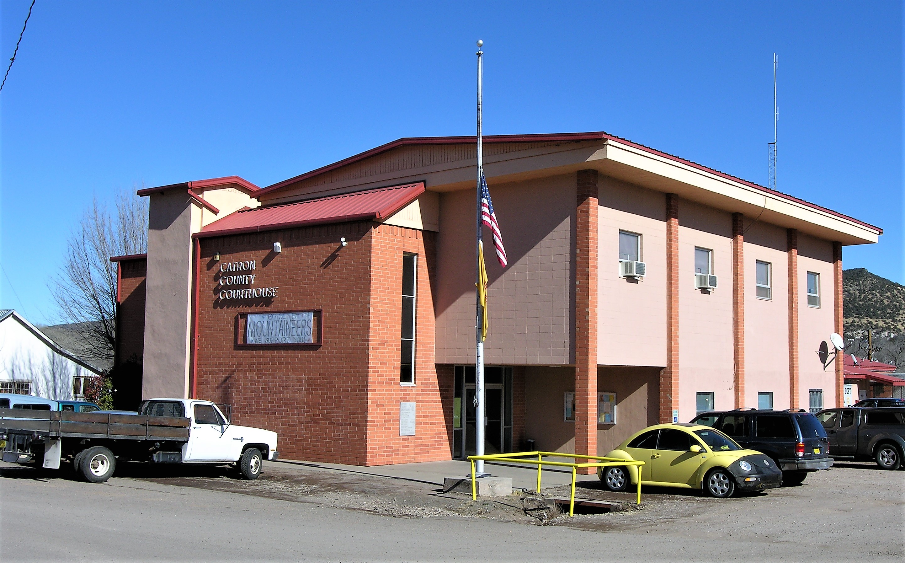
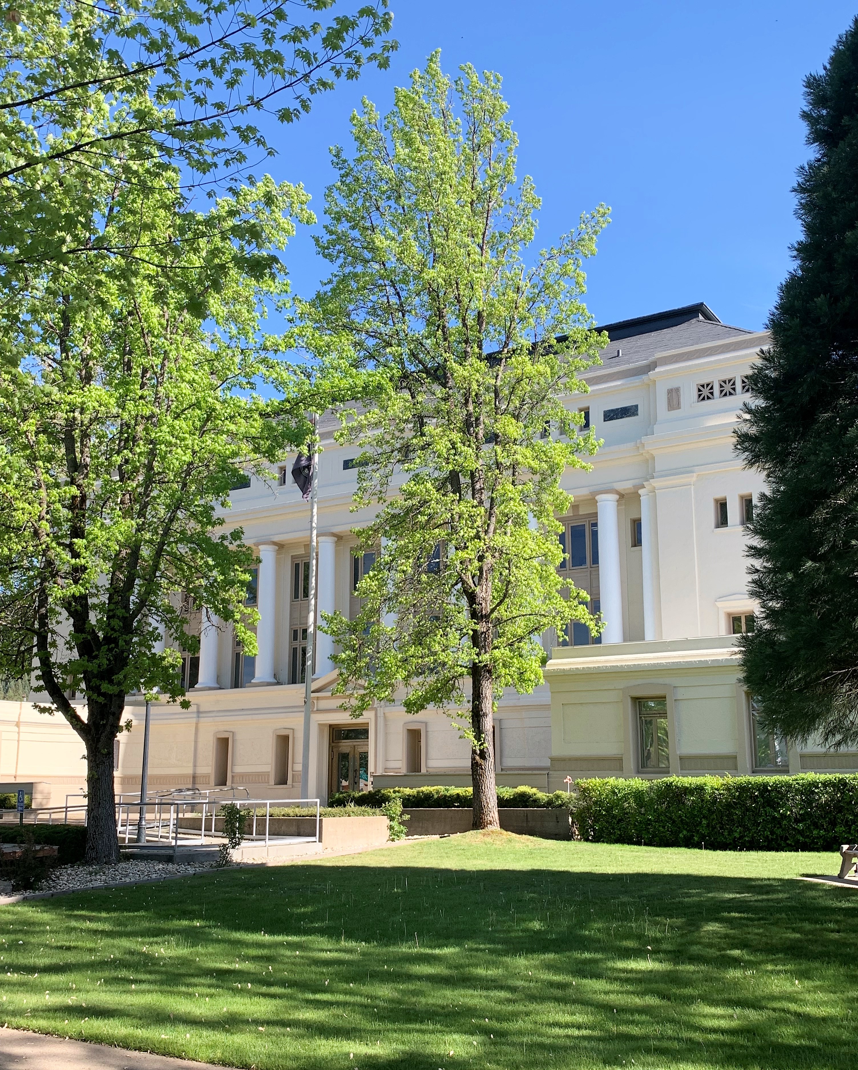
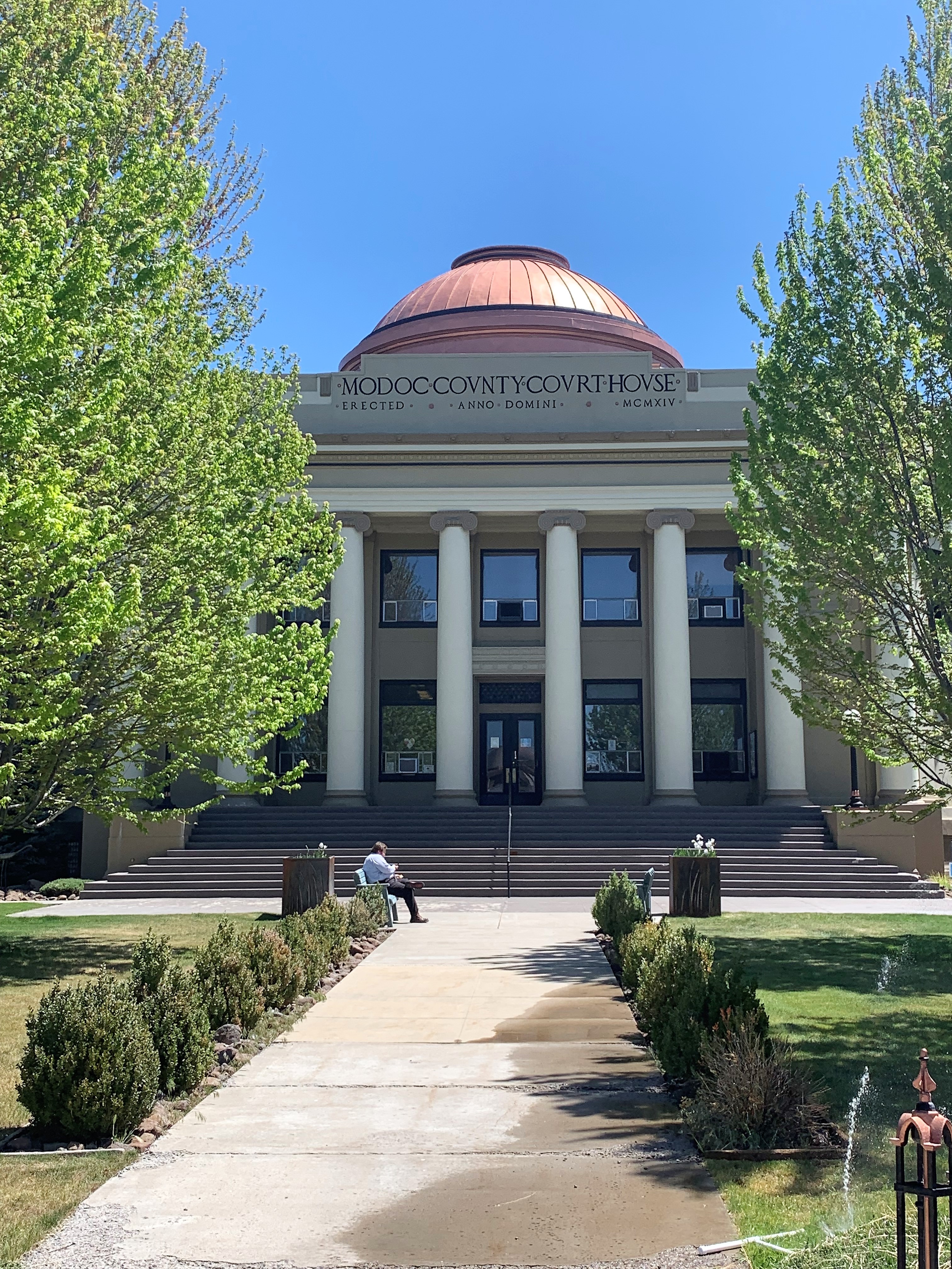
Alturas is a town of 2,800 souls. The town and county resisted the state governor’s orders to lock down due to Covid-19. They succeeded only to an extent. Here is the Modoc County Courthouse, built in 1913 and looking great.
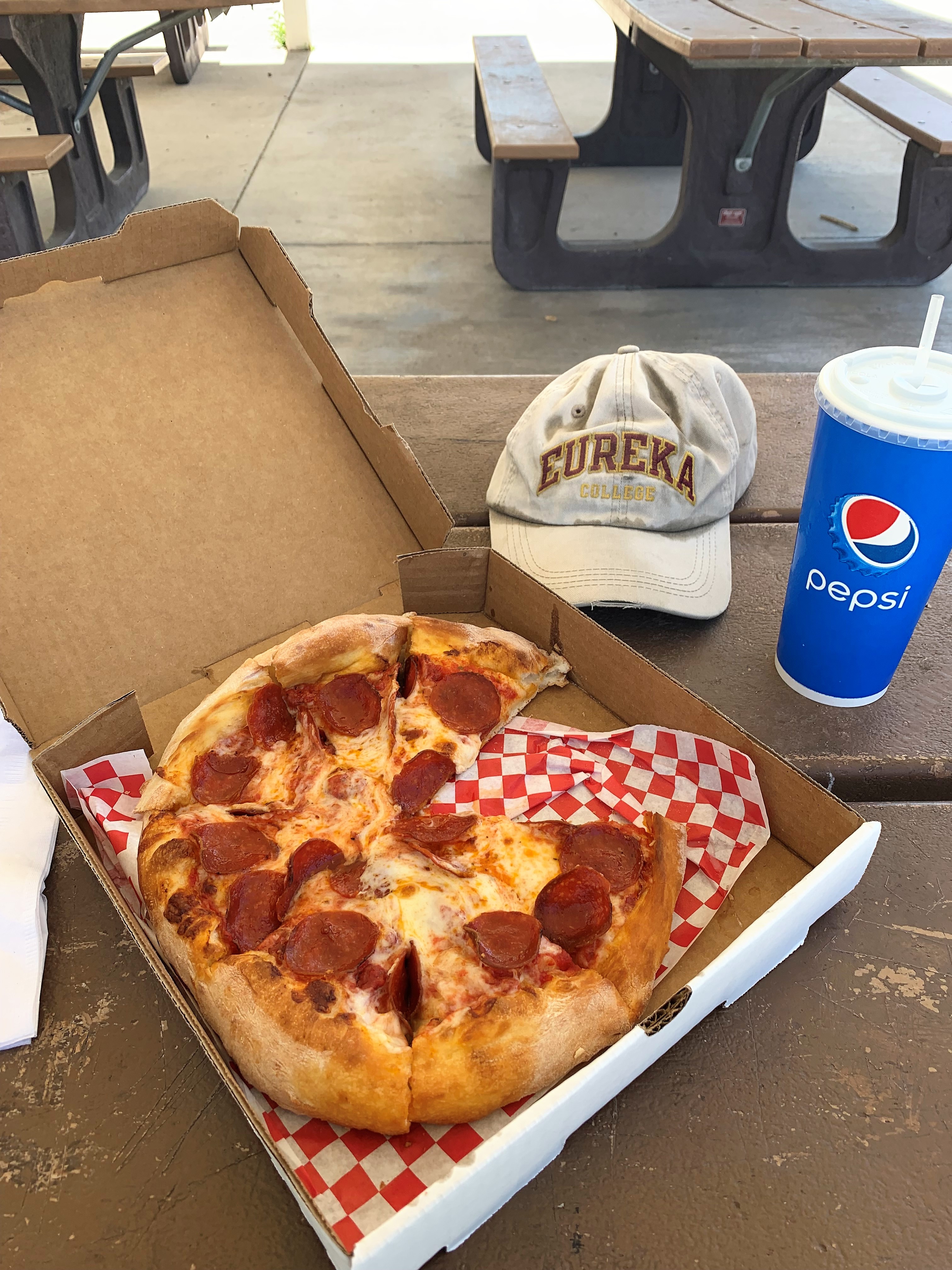
I ate lunch in the park with a pizza from the remarkable Antonio’s Cucina Italiana on Main Street in Alturas. After I had walked in at noon and sat down, the owner told me that he wasn’t open for dine-in services. Sad. So I ordered a take-out pizza and a drink, and he didn’t mind me sipping my drink at the table while I waited. I had my pizza in the park instead:
Now it’s time to turn for home. I’ll spend the night in Winnemucca, Nevada, some four hours drive from Alturas. The fastest route would take me briefly into Oregon, where I saw that Goose Lake looked nearly dry. Apparently, the western drought is real. On my way to Winnemucca, in a deserted stretch of Nevada Highway 140 (in fact all stretches of Nevada 140 are deserted), I found this labor of love:

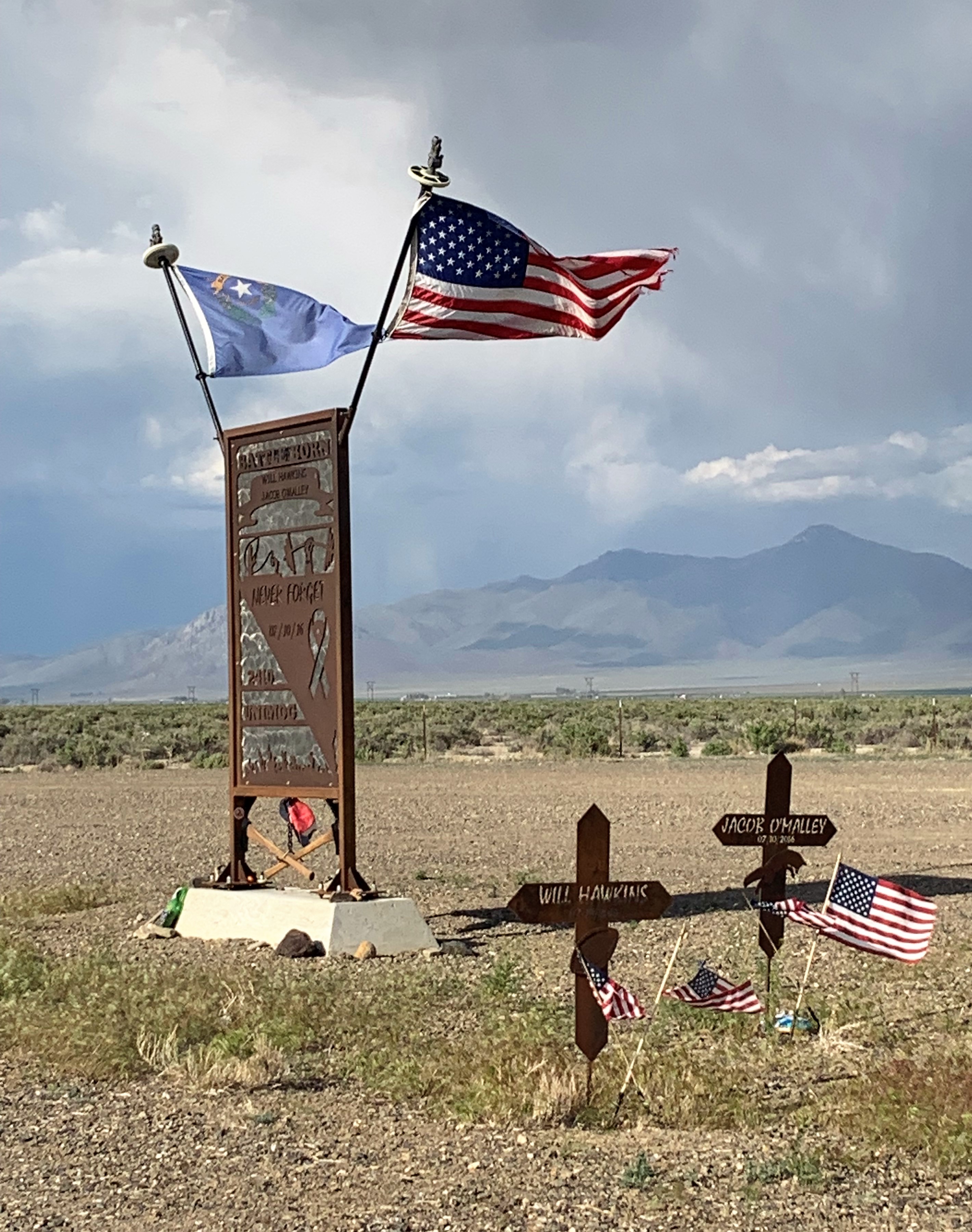
Will Hawkins and Jacob O’Malley, rest in peace. “Battle Born” is the motto of the state of Nevada.
Finally to Winnemucca, Nevada, where Basque sheepherders immigrated during the last century. I found a Basque restaurant and being new to Basque cooking I had to try it. Here is the chicken esparragossa (chicken with asparagus) at Bakarra Basque Bistro. Lots of seafood dishes were also available and are probably the house specialty, but I don’t eat sea creatures.
Links:
City of Susanville, California
City of Alturas, California
Antonio’s Cucina Italiana, Alturas
Bakarra Basque Bistro, Winnemucca
Holiday Motel, Winnemucca
City of Winnemucca, Nevada
Friday, May 14, 2021. Day 7: Winnemucca, Nevada to Midvale, Utah
I spent most of today driving east along Interstate 80 through northern Nevada and then into Utah. It was a bit cloudy and so not too warm. Before leaving Winnemucca though, I found this gem:
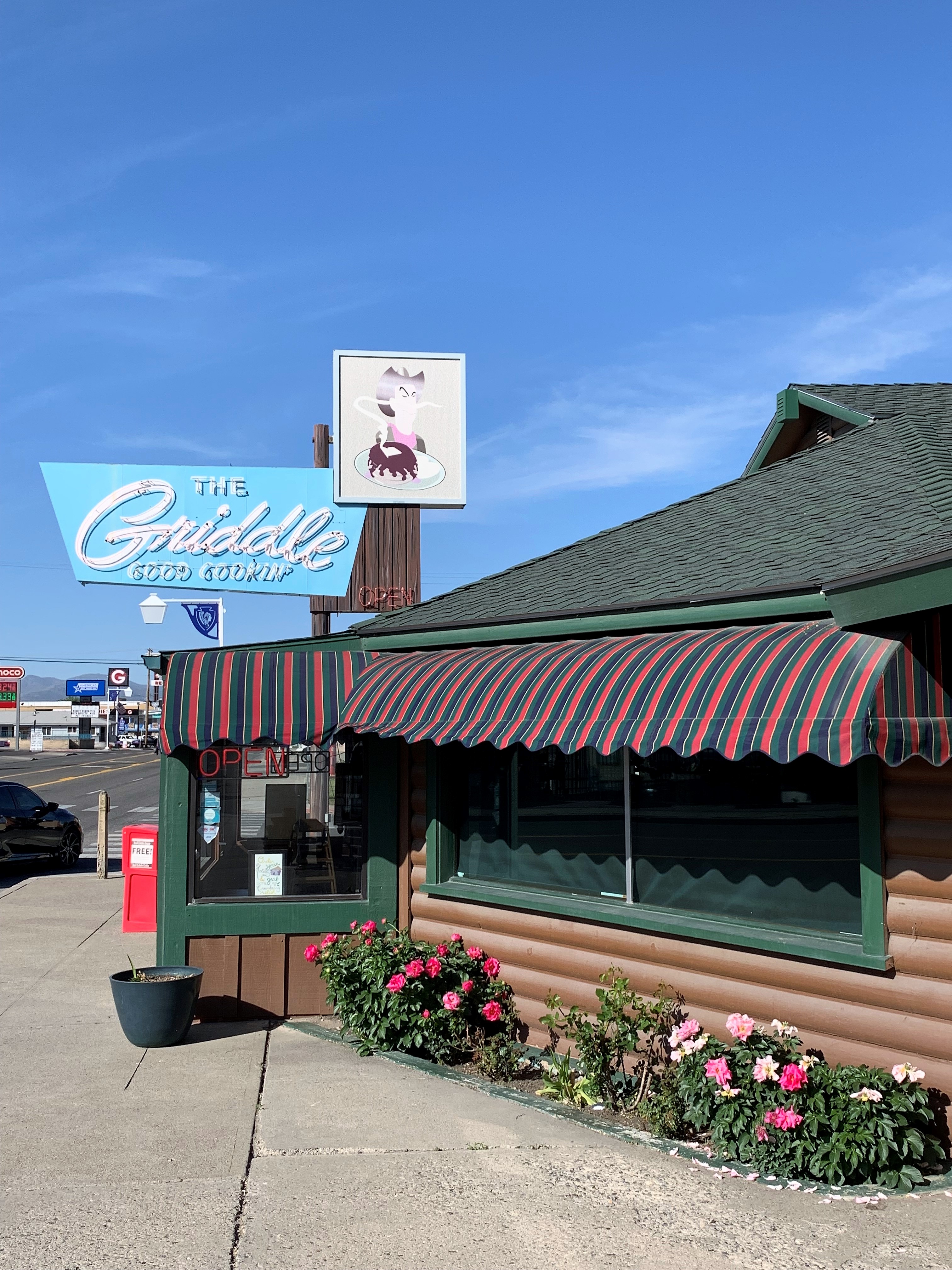
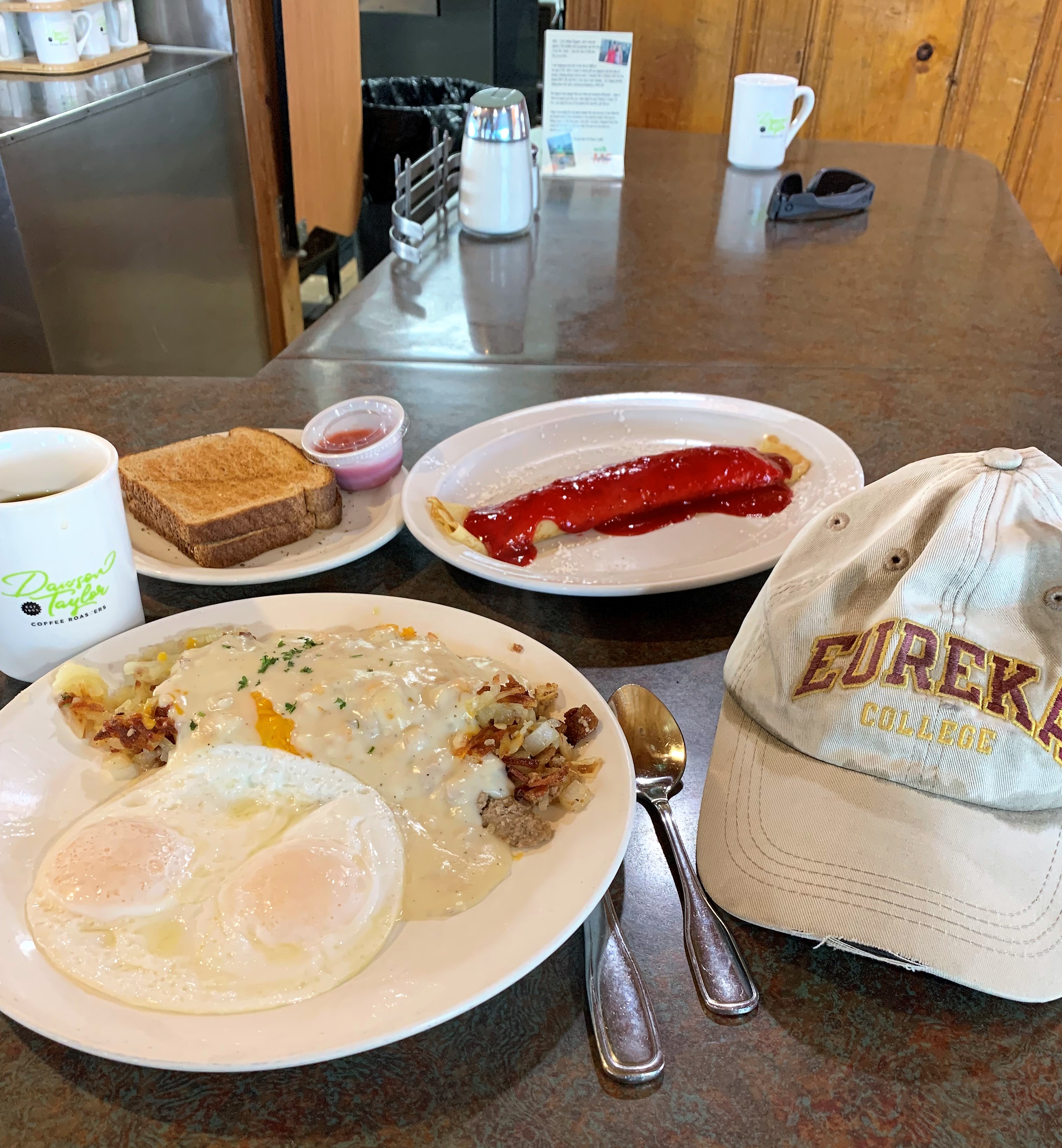
The Griddle. Any breakfast place that includes crepes on its menu is a great breakfast place. You can quote me on that.
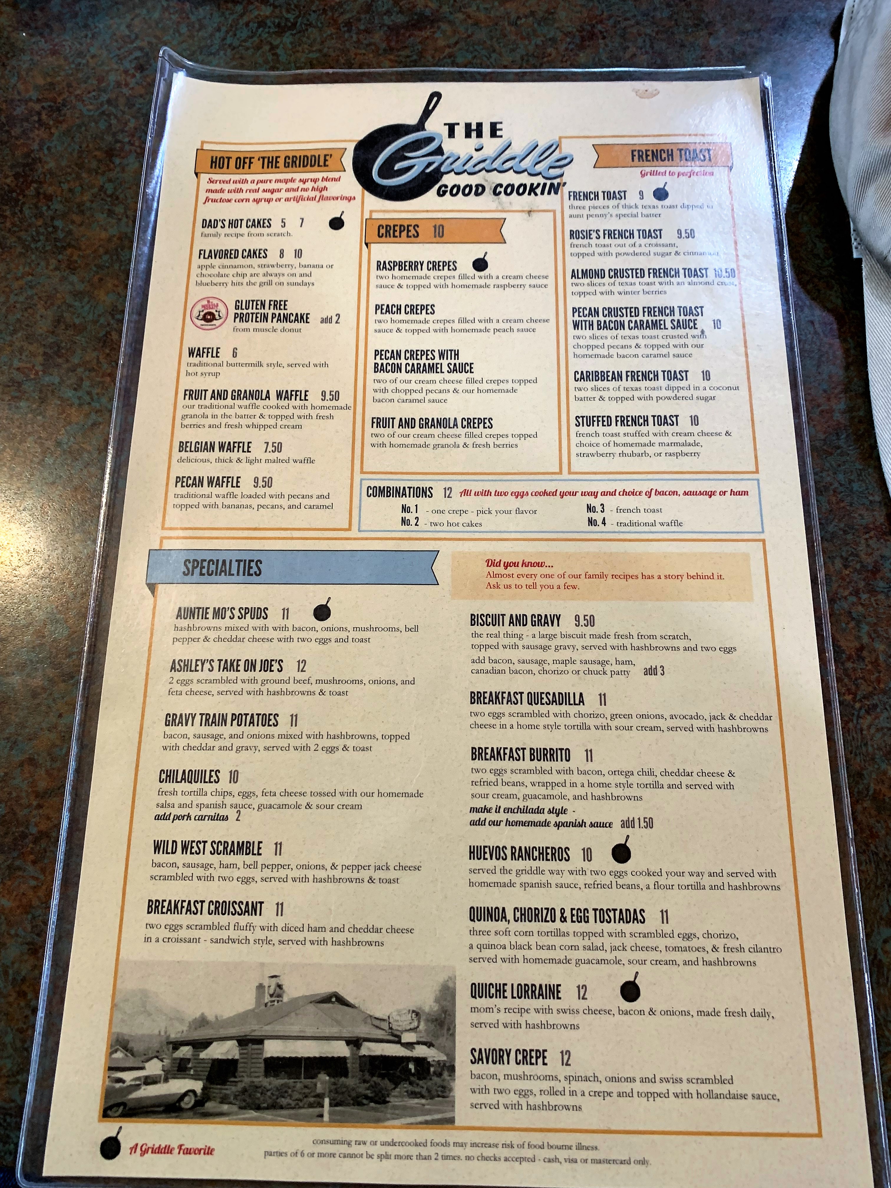
I had the raspberry crepes but I could have had the peach crepes instead or even the PECAN CREPES WITH BACON CARAMEL SAUCE! Are you kidding me? Life is good!
During this long day, I stopped a bit for a play on the video poker machines at West Wendover, Nevada. I hit a four-of-a-kind on the first or second roll then walked away with my $40 winnings. Take the money and run when you’re up against the machines. Then I drove 100 miles or so through the Bonneville Salt Flats in western Utah. These haven’t changed — still flat, white, and salty. I found a nice Holiday Inn Express in a nice Salt Lake City suburb and had a nice suburban dinner at a picnic table along the banks of the nice Little Cottonwood Creek in Midvale:
Links:
The Griddle, Winnemucca
City of Midvale, Utah
Saturday, May 15, 2021. Day 8: Midvale, Utah to Colorado Springs
Today was another long day of driving from Salt Lake City back to Colorado Springs. I took the southern route through Provo, Utah, across the Utah desert through Price, Utah, and then meeting Interstate 70 at Green River, Utah.
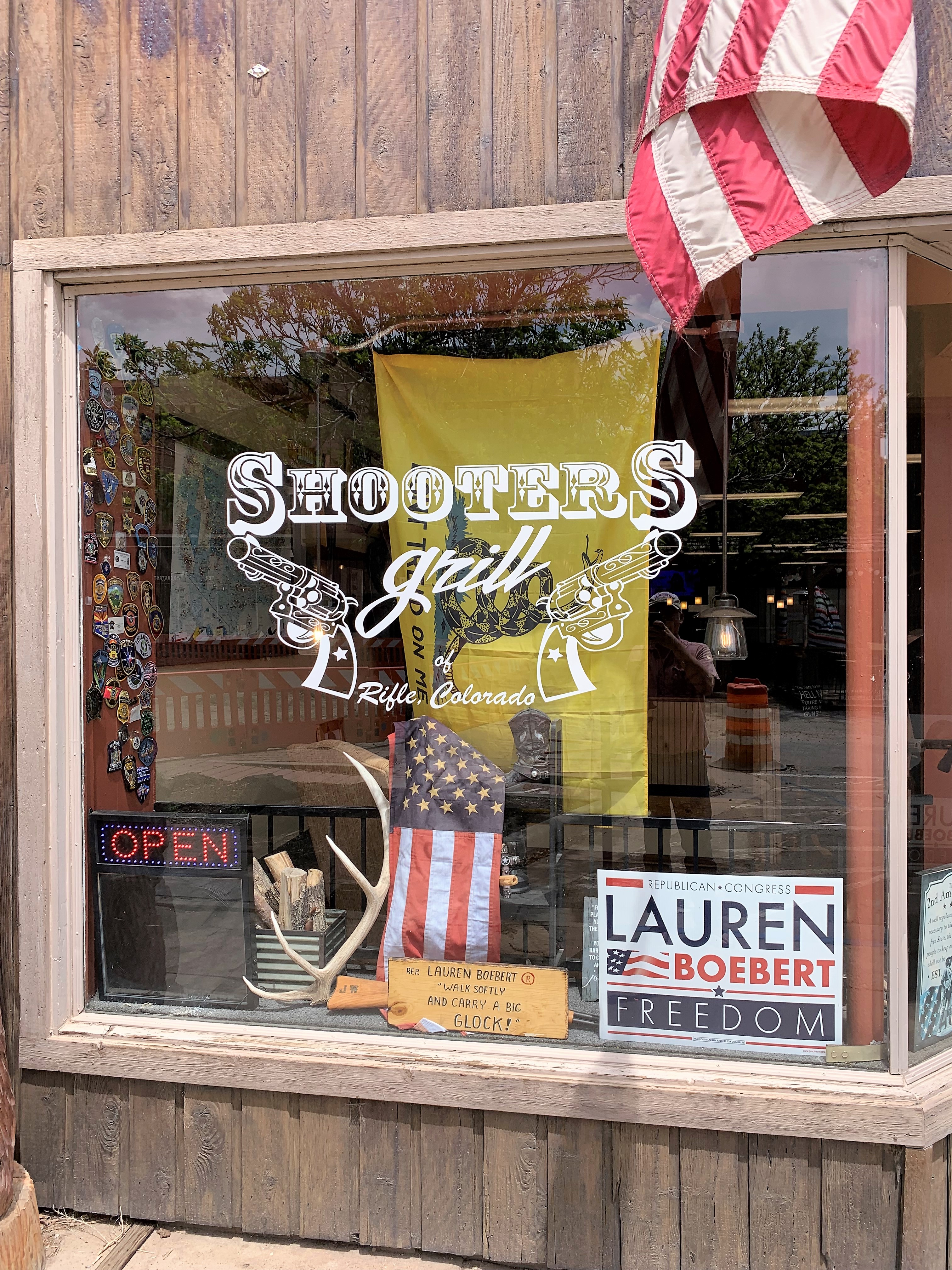
While yesterday was about breakfast, today was about lunch. Interstate 70 passes through the town of Rifle, Colorado, which is home territory for freshman Representative Lauren Boebert (R-CO). Before running for Congress in 2020, Boebert was best known for running a restaurant in Rifle called Shooters Grill, a western-themed place where the wait staff is encouraged to wear pistols on their belts.
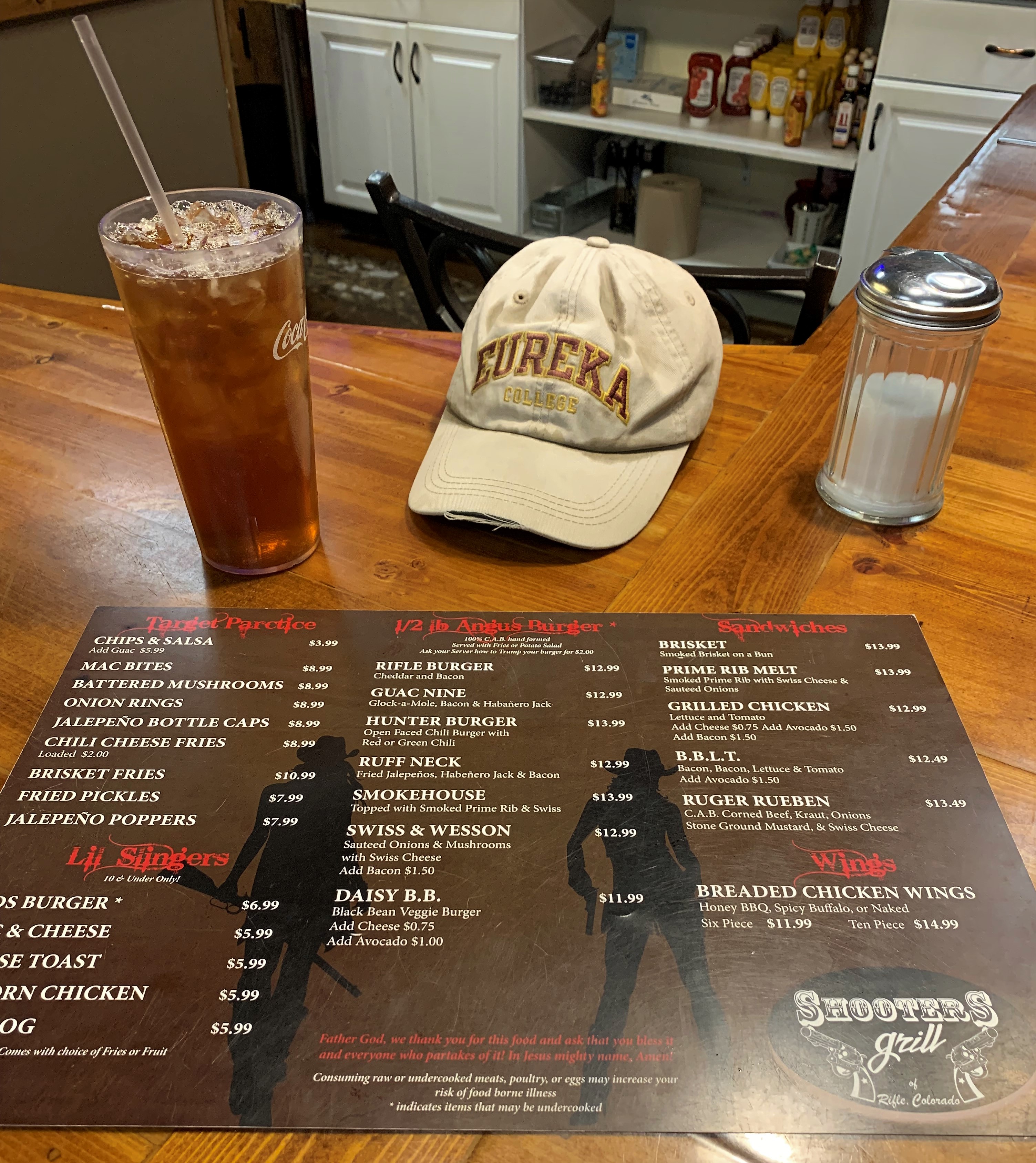
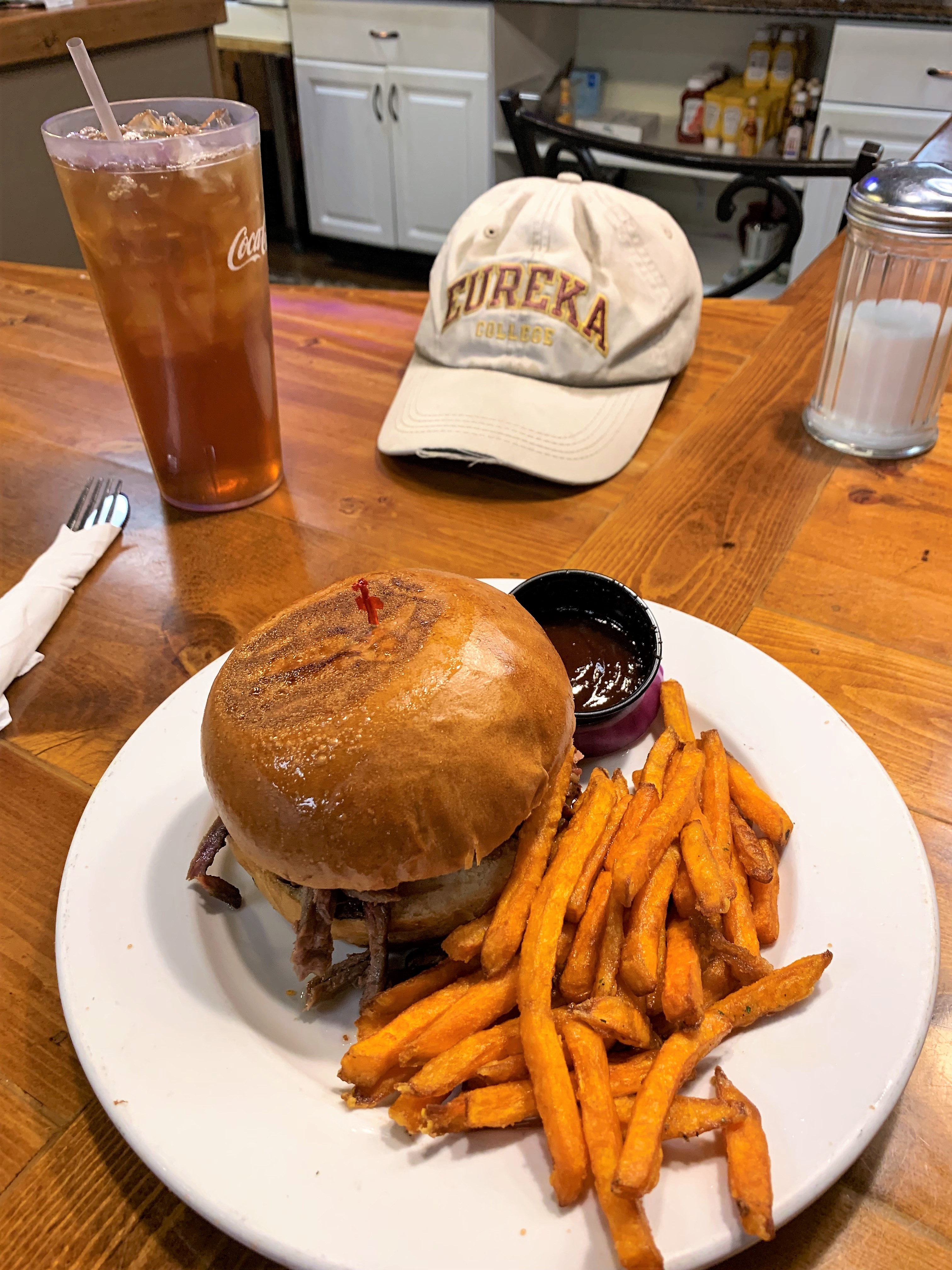
Lunch at Shooter’s Grill in Rifle:
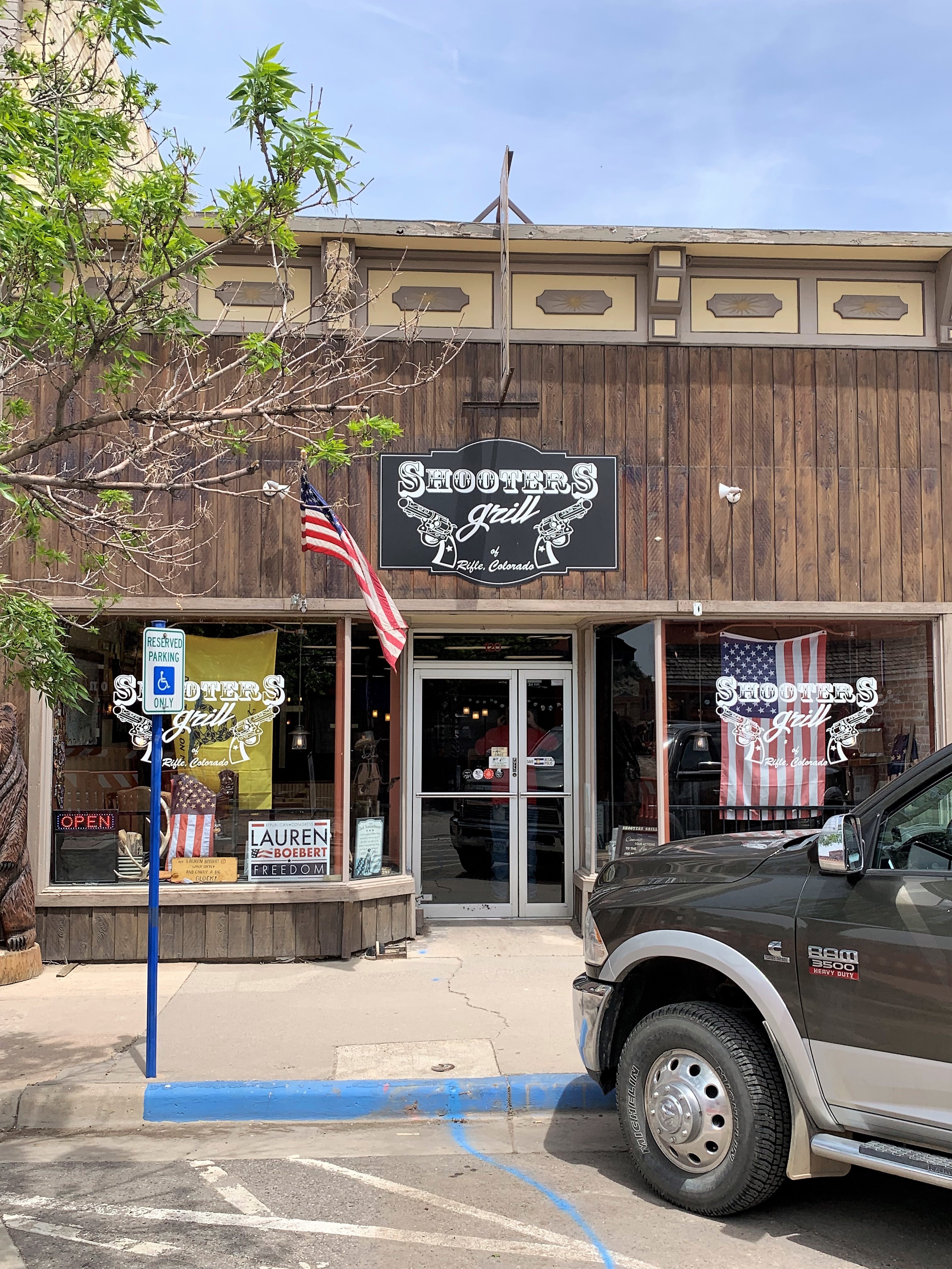
I had the brisket sandwich with sweet potato fries. Shooters is a fine establishment and their food is satisfying. In fact, it actually seems kind of normal.
Links:
Shooter’s Grill, Rifle
City of Rifle, Colorado
Lauren Boebert, Member of Congress
I’m home now. Hope you enjoyed my trip!
All photos taken by the author in May 2021
A list of all Freedom Voyage posts in TimManBlog can be found here.
I travel as a hobby and not for a living (yet) — but donations are happily accepted if you’d like to help defer my costs.
Thanks,
The TimMan
Donations are NOT tax-deductible under U.S. law…but you knew that.
Make a one-time donation
Make a monthly donation
Make a yearly donation
Choose an amount
Or enter a custom amount
Your contribution is appreciated.
Your contribution is appreciated.
Your contribution is appreciated.
DonateDonate monthlyDonate yearly