For Thanksgiving, 2020
November 26, 2020
Happy Thanksgiving everyone!
It’s 2020, and what do I have to be thankful for? Well for one, the opportunities I’ve had to take to America’s open roads every once and a while. These “Freedom Voyages” (h/t to Elizabeth Rosas Barber for the moniker) give me the chance to see the country — its landscapes, its small towns, its cities, and its courthouses. Along the way I take and share photos of what I see and what I eat.
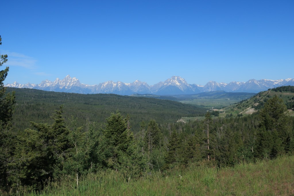
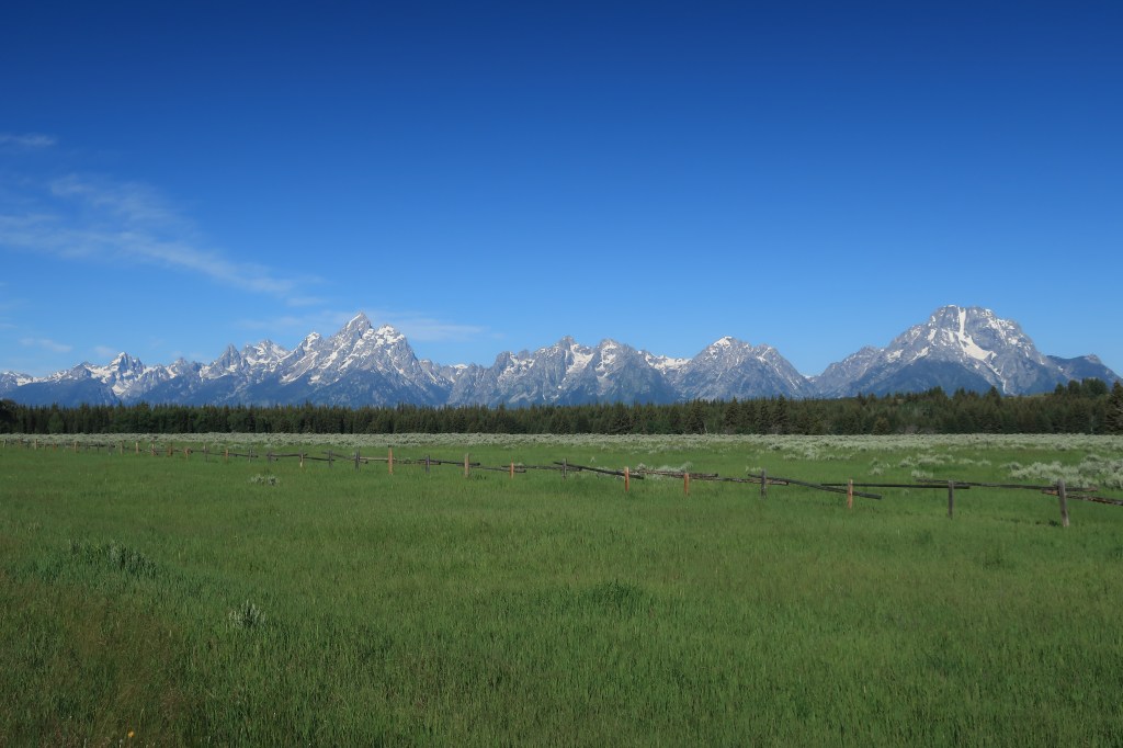
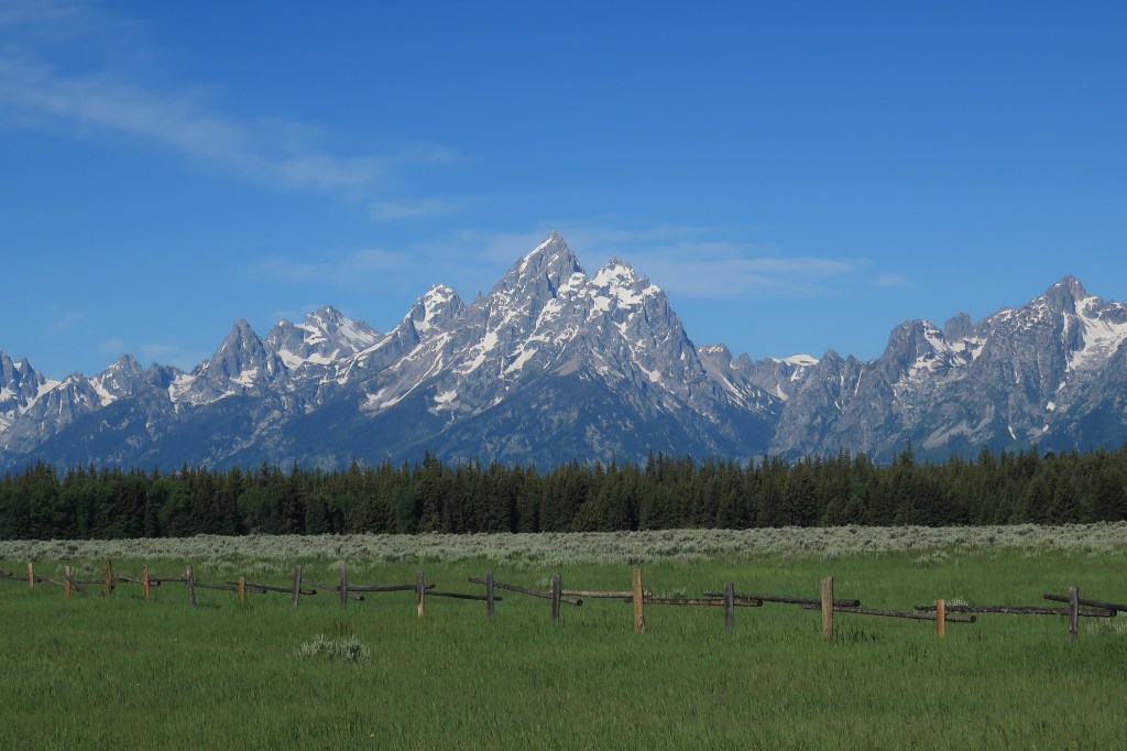
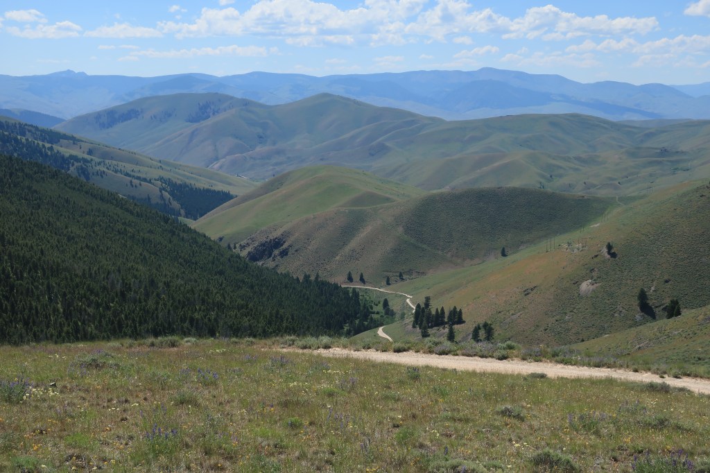
Want to live out a Freedom voyage vicariously? Here’s a photo log of the nine days I spent on the road last September, starting in Colorado Springs, Colorado where I live, and traveling through Kansas, Nebraska, Iowa, Missouri, and Illinois to reach destinations in western Kentucky and southwestern Indiana.
I enjoyed Fall sunshine on eight of these nine days. Nothing better than sunshine on a trip! Enjoy!
Friday, September 18, 2020. Day 1: Colorado Springs to Seneca, Kansas
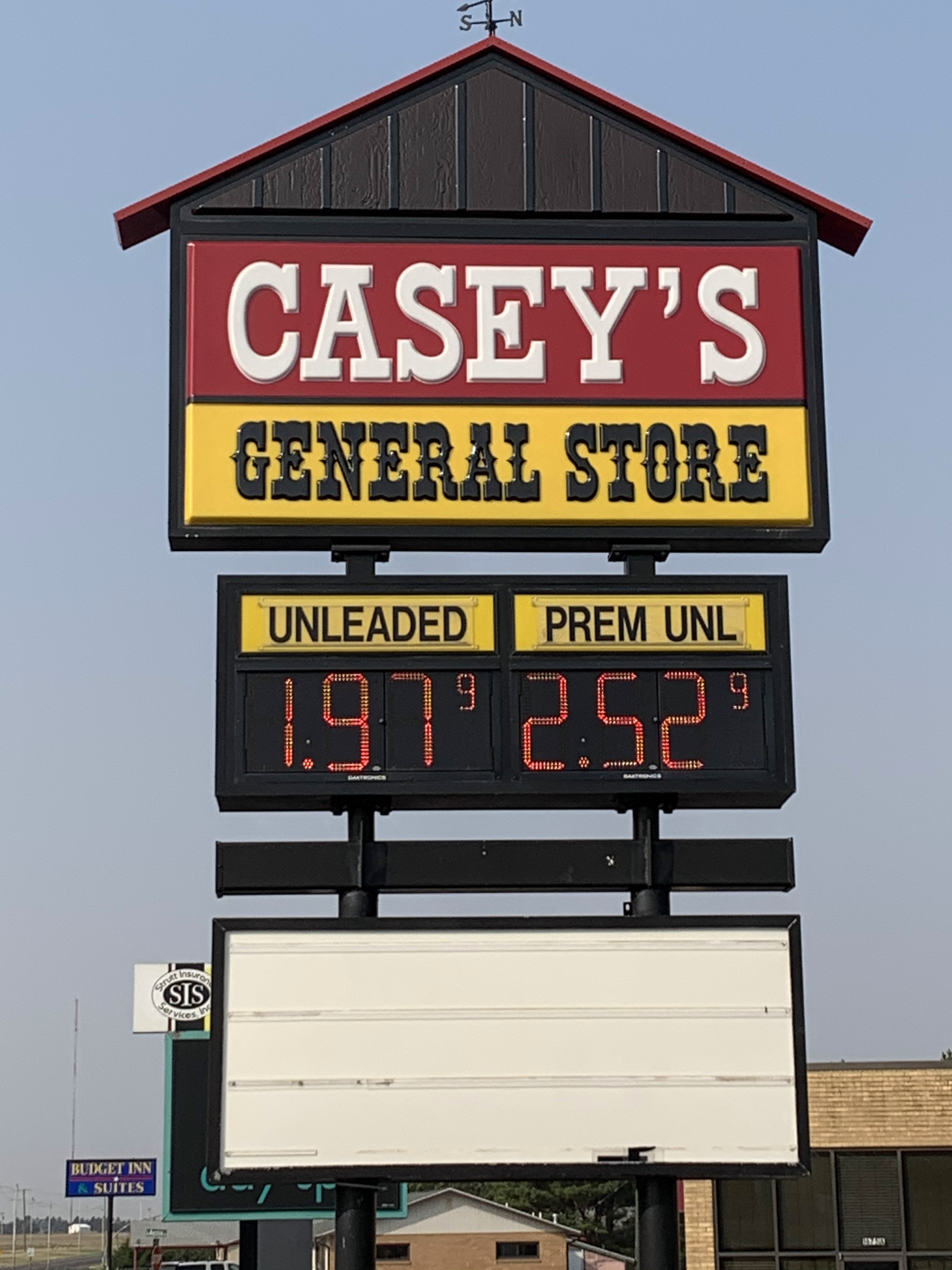
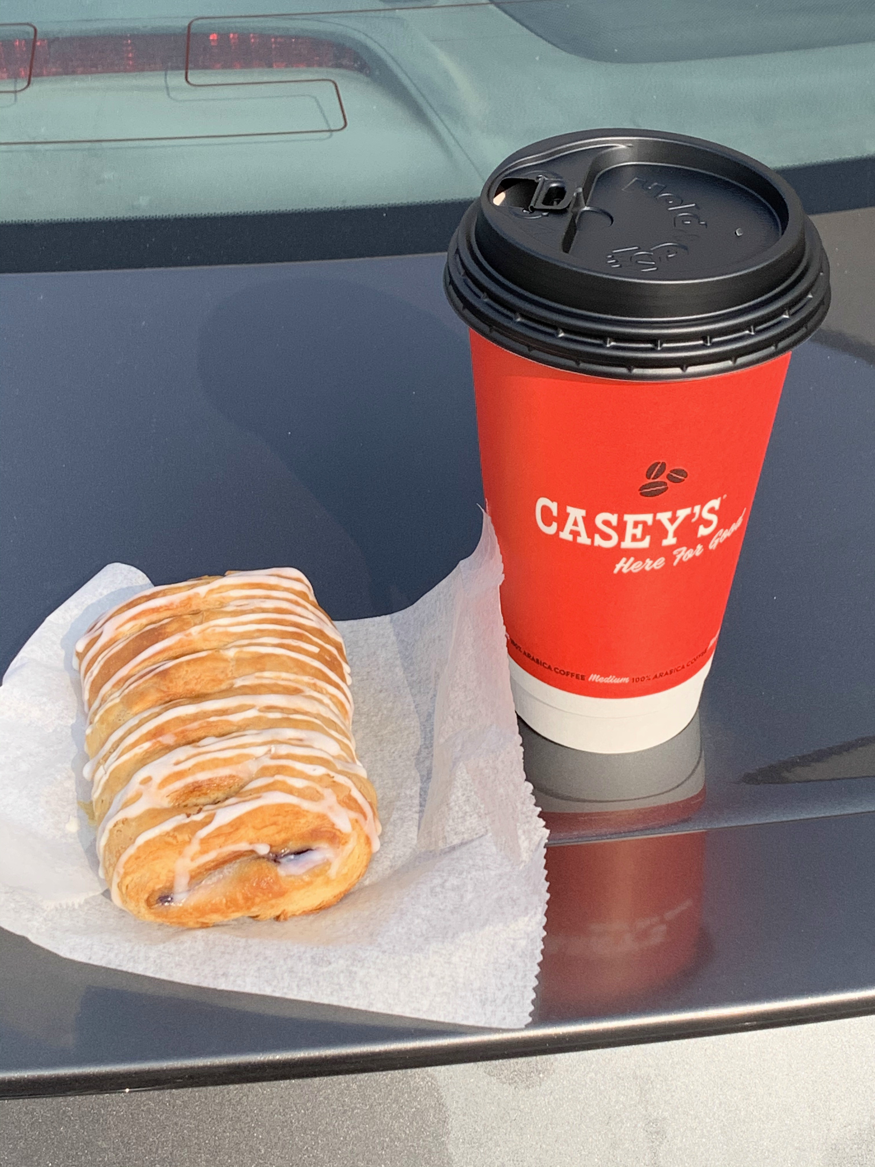
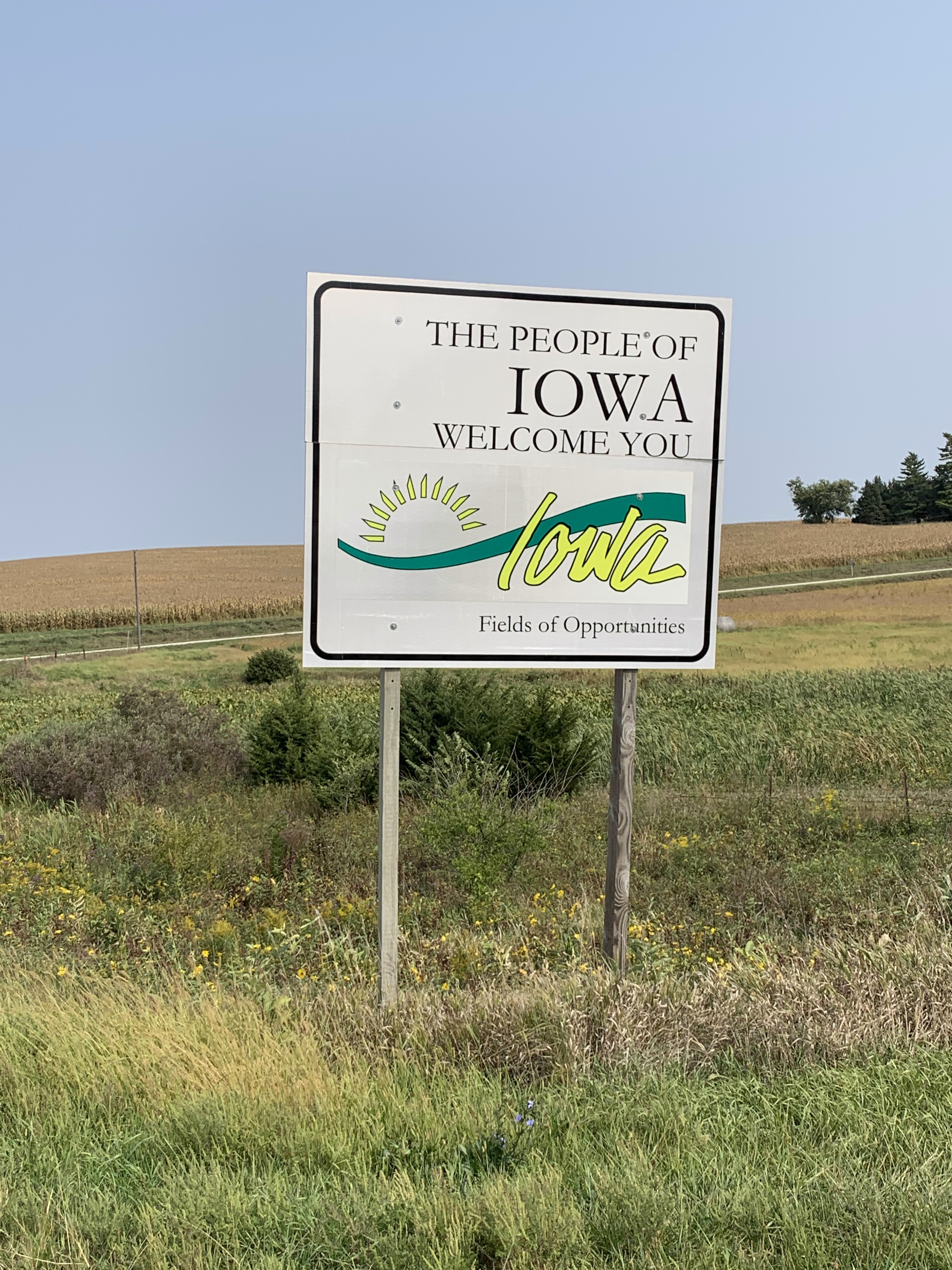
I left home on a Friday morning at 5:30, before dawn, and drove eastward to see the sunrise. I have plans and reservations for Friday and Saturday, but I’ll make decisions about the rest of the itinerary on Sunday morning. Across the Kansas state line, I officially enter the Midwest and get a chance to enjoy Casey’s General Stores, their breakfast pizza, and their new blueberry flips.
A slice of Casey’s breakfast pizza was consumed too quickly to make the photograph.
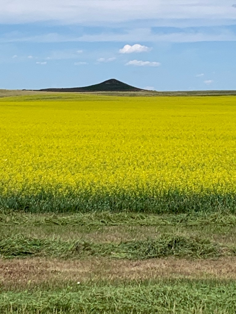
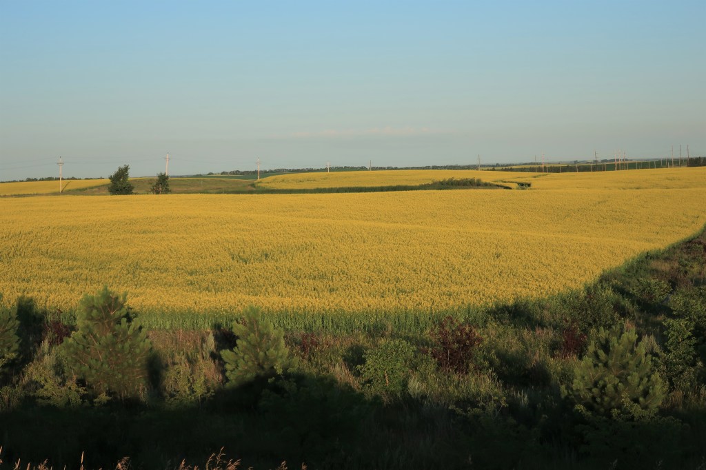
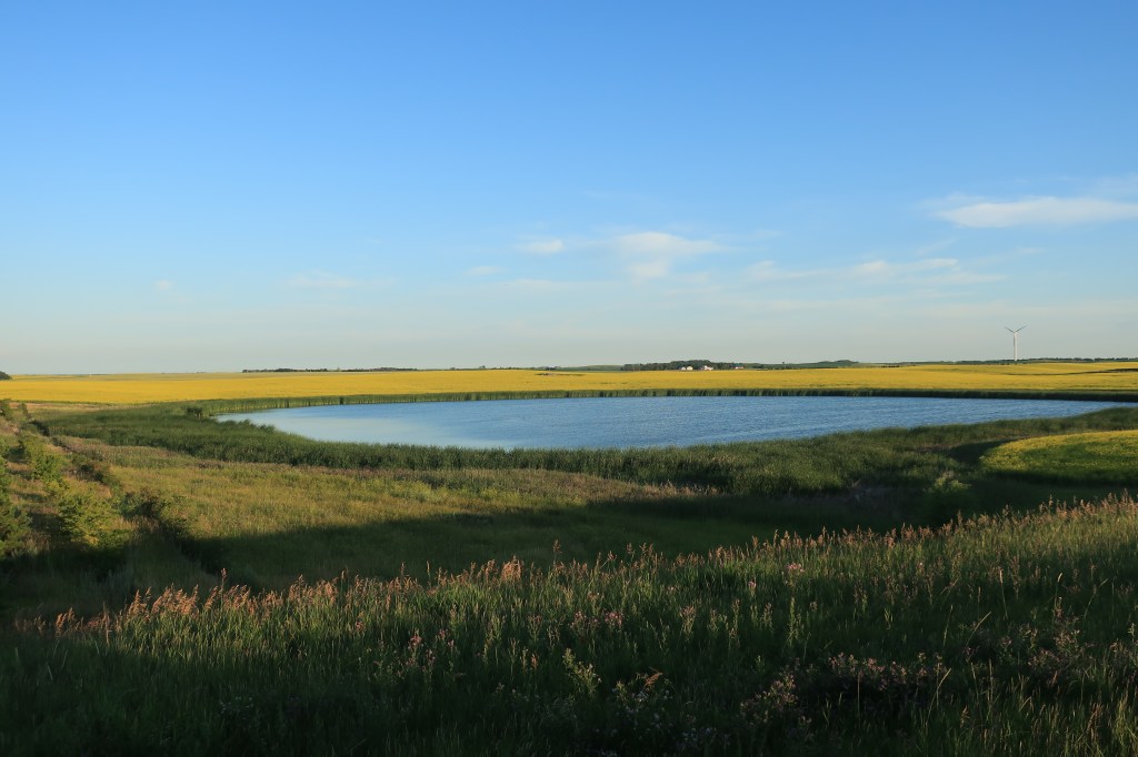
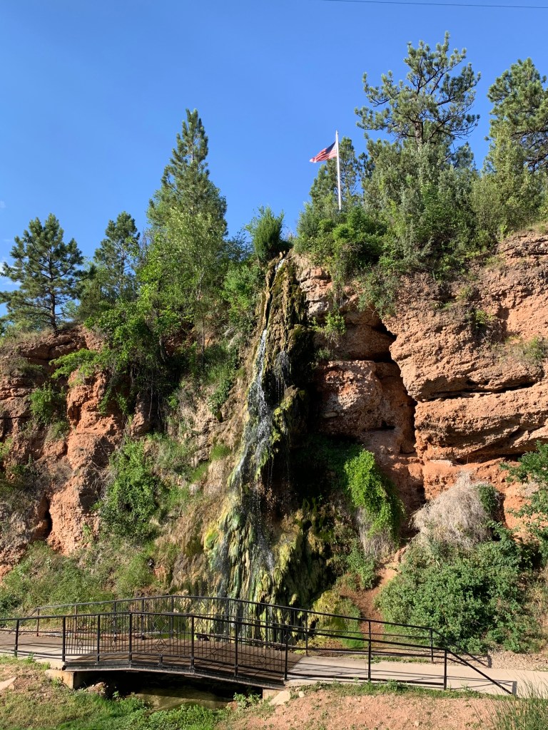
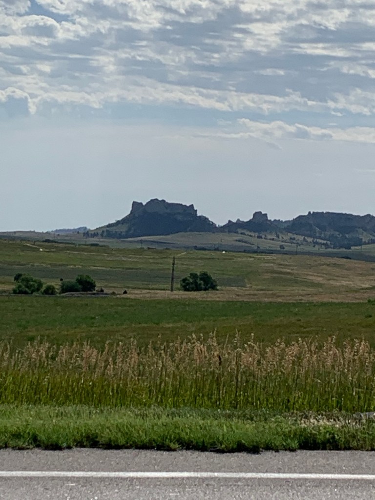
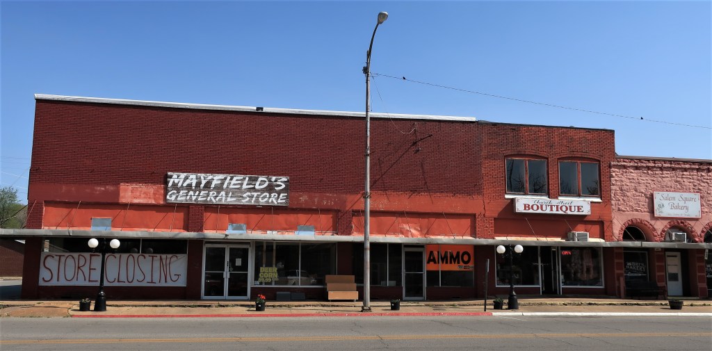
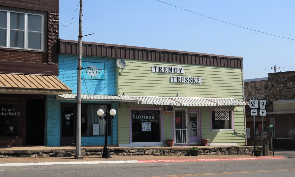
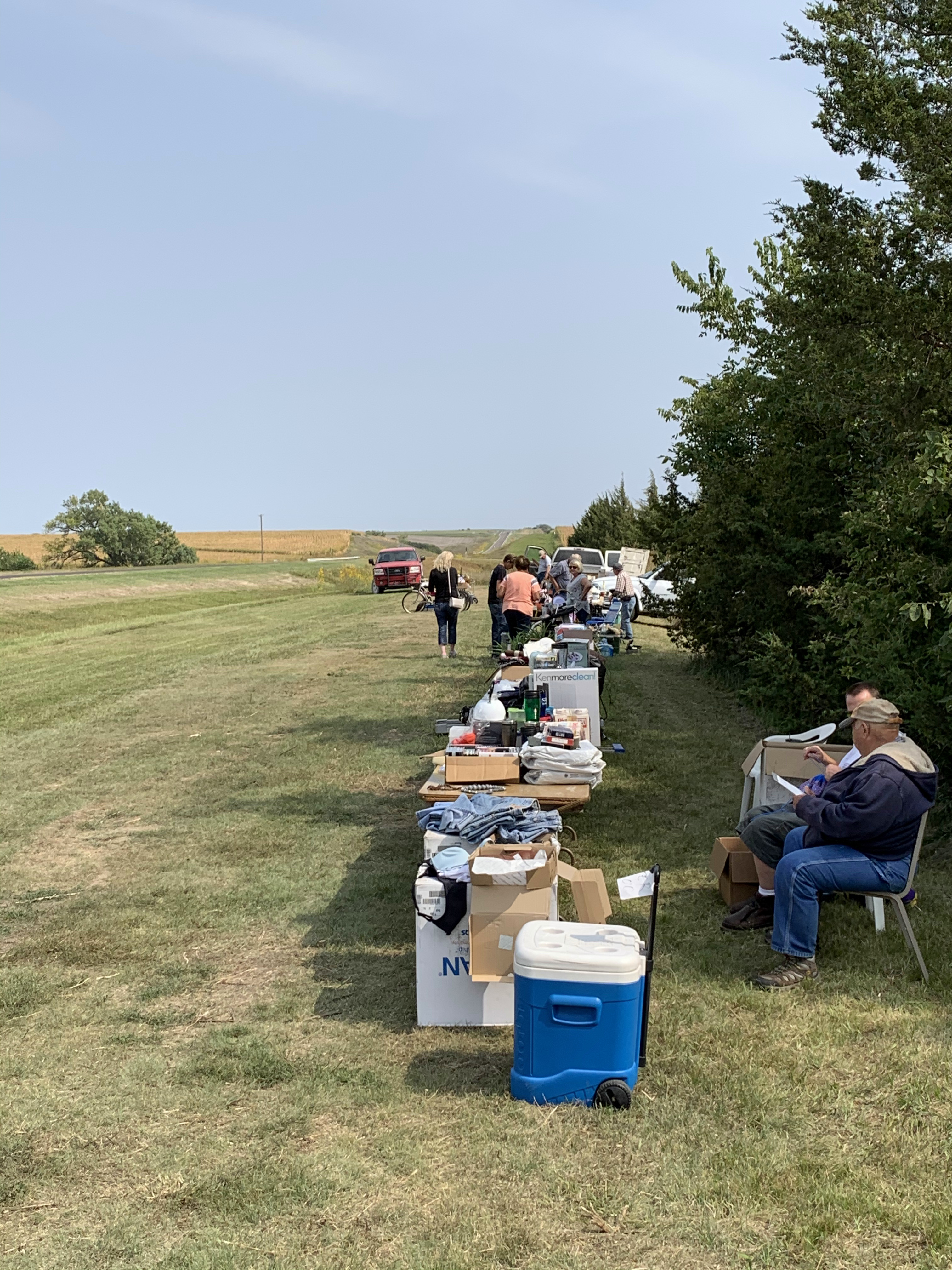
From Colby, I head northeast to reach U.S. Route 36 for the rest of the drive across Kansas. It turns out that this happens to be Treasure Hunt weekend all along Route 36, so each town has yard sales along the roadside.
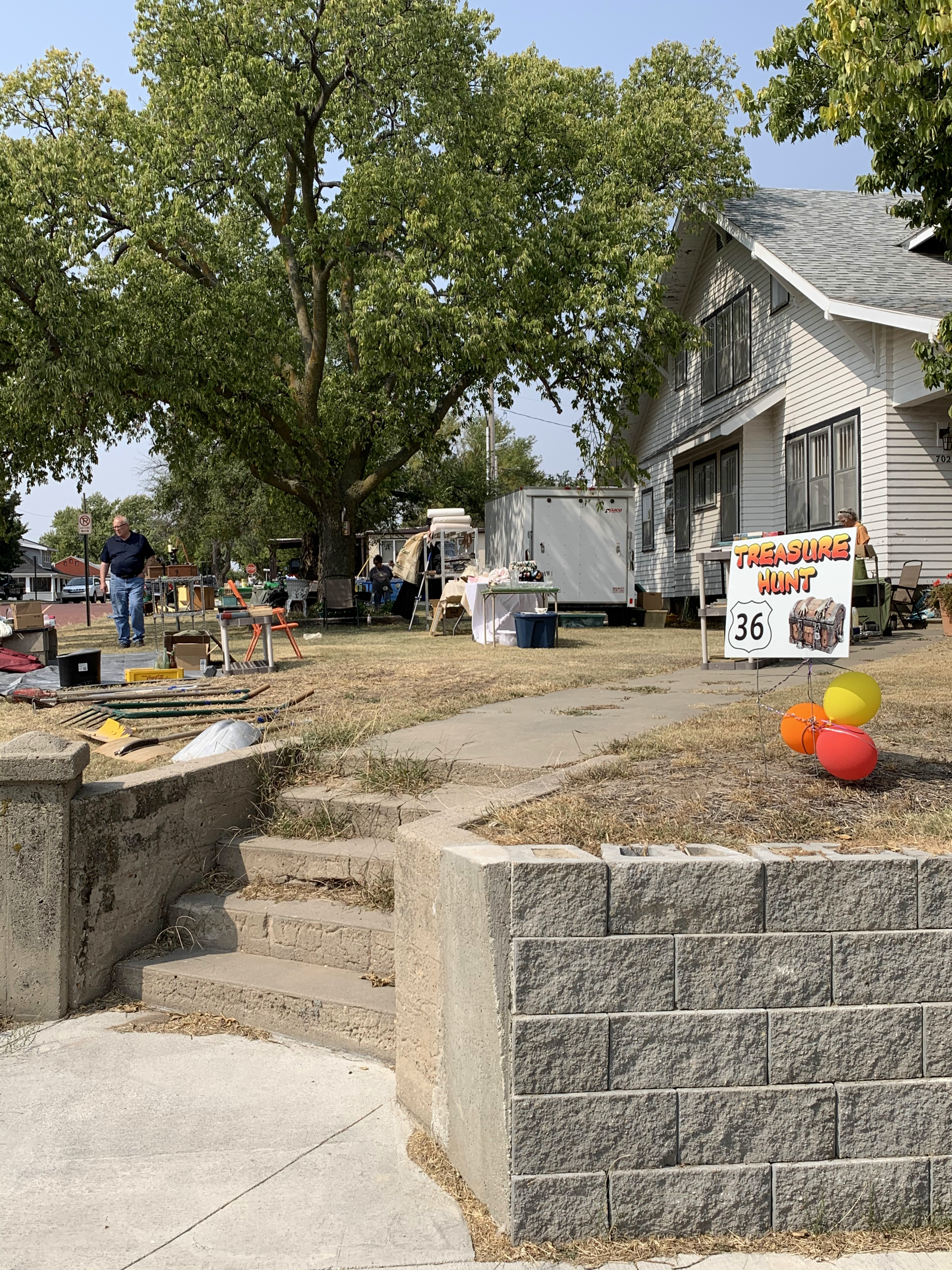
I stopped at several sales that afternoon, mostly for the conversations rather than the merchandise.
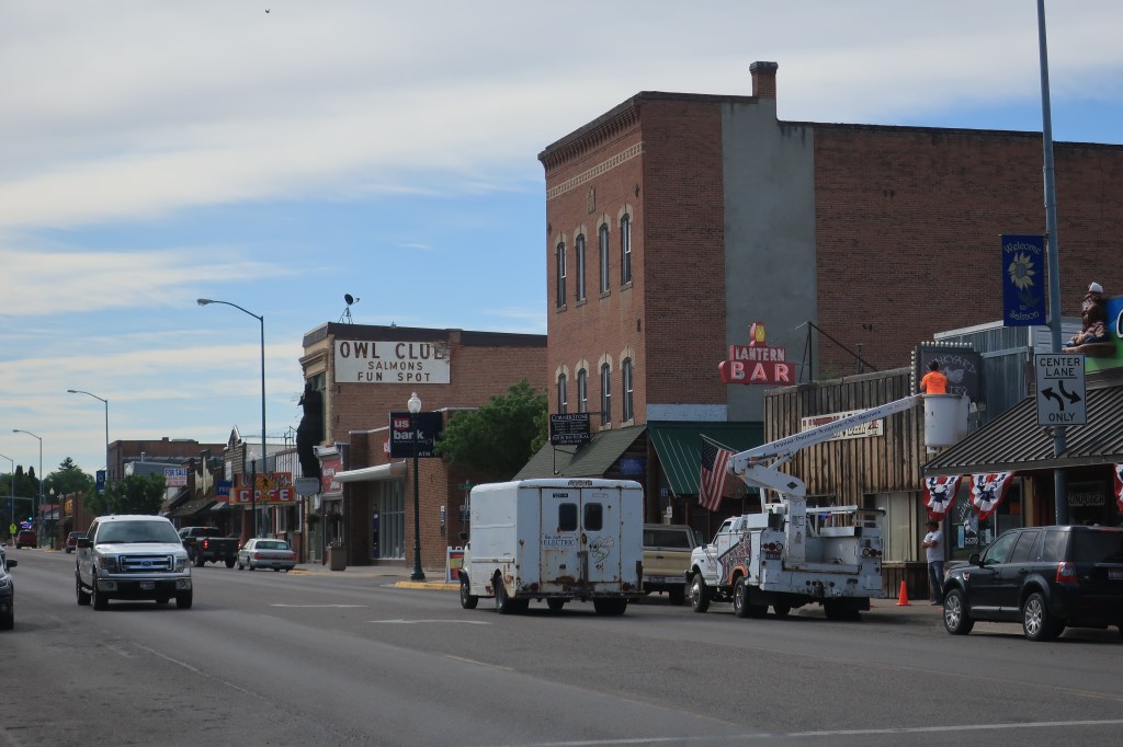
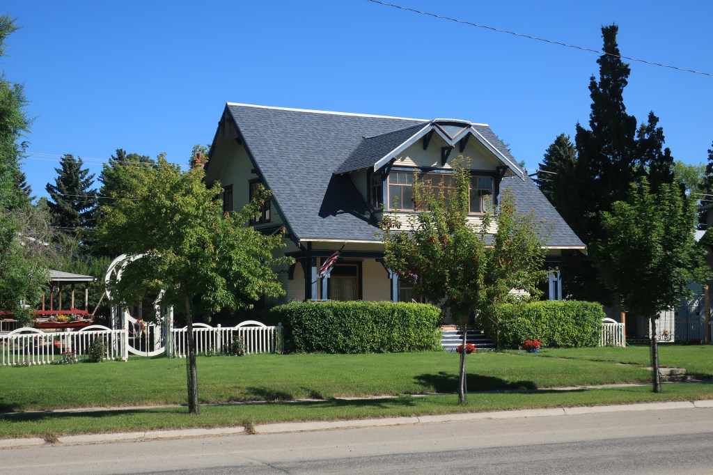
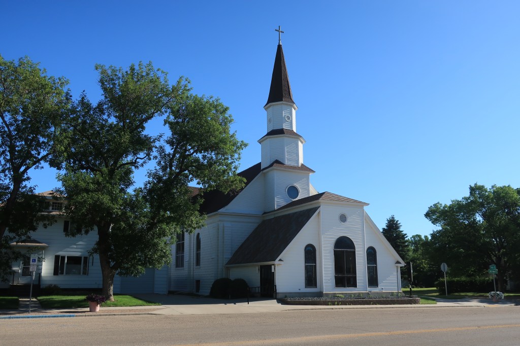
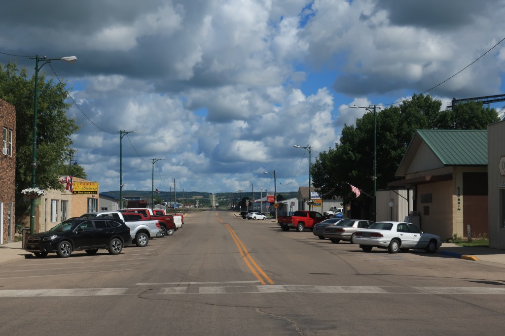
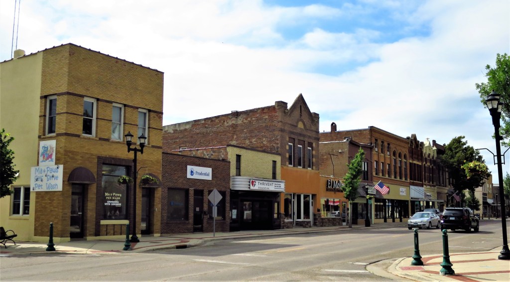
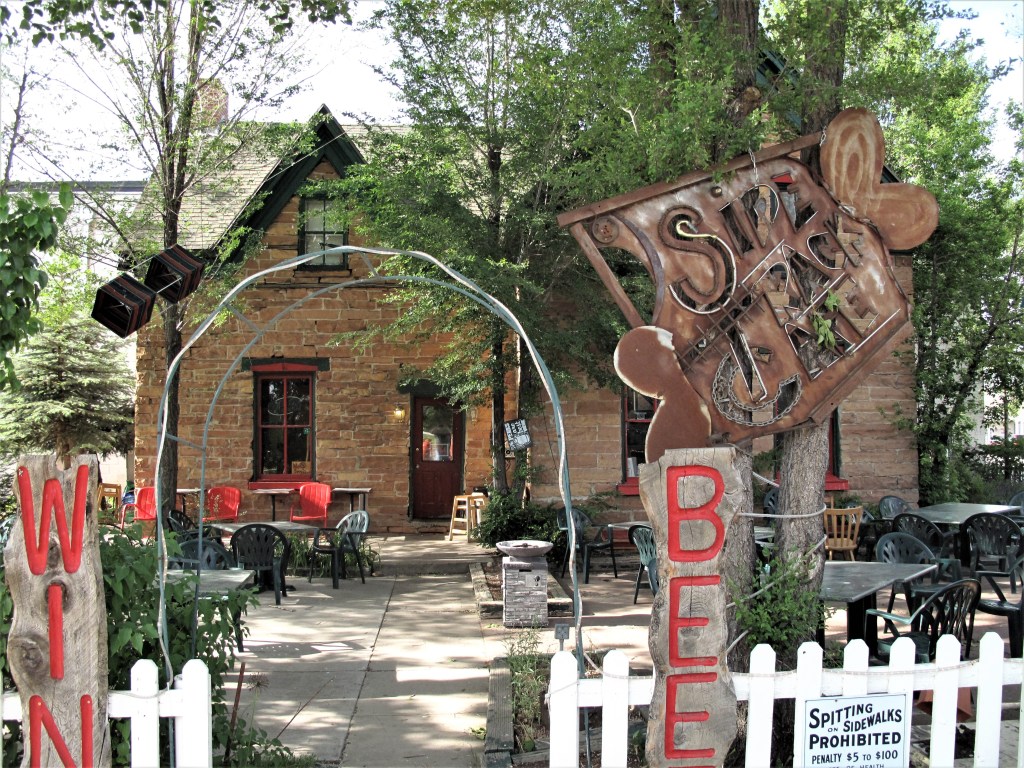
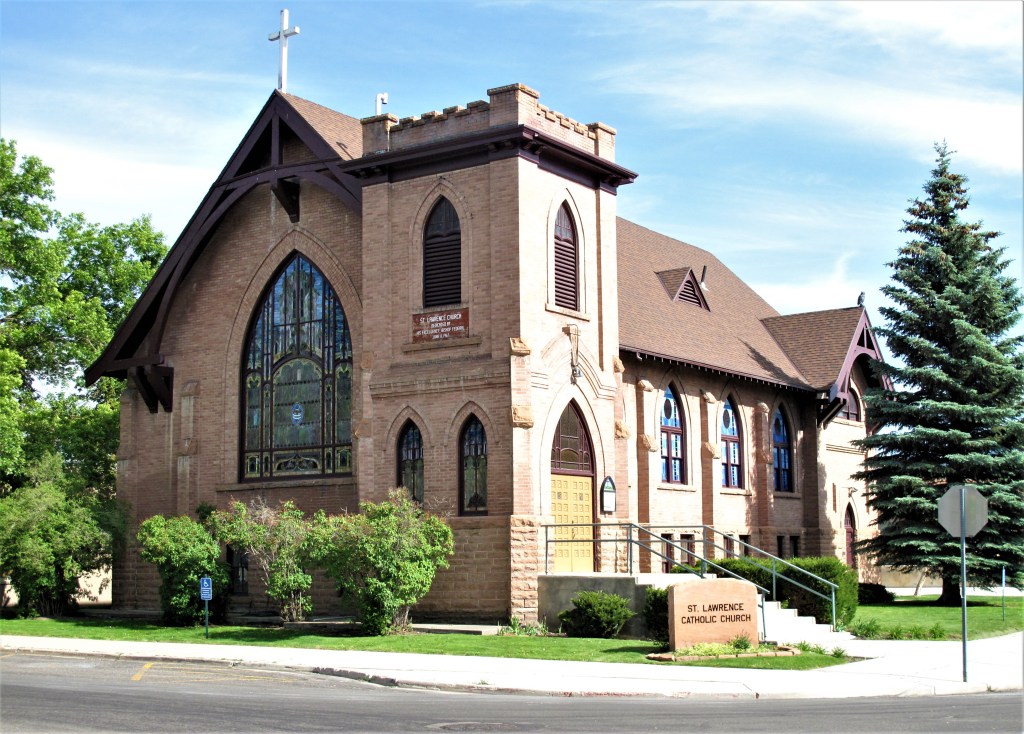
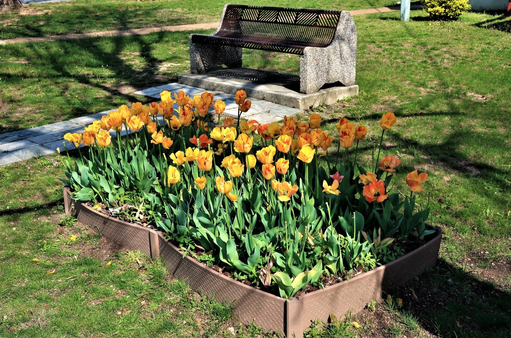
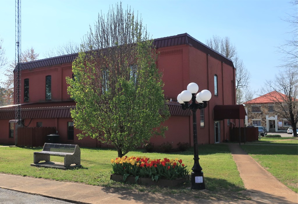
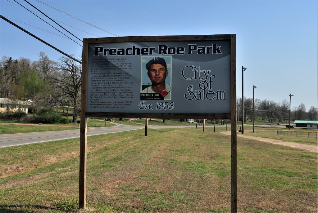
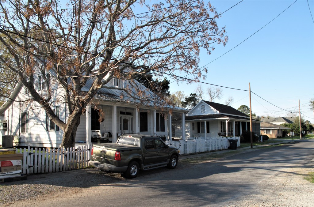
After eight hours I arrive in Seneca, Kansas, a pleasant town of 2,000. I arrived early enough to take some photos in the evening light.

Links:
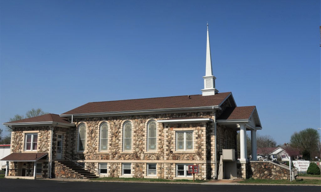
Saints Peter & Paul Catholic Church in Seneca
El Canelo Mexican Restaurant in Seneca
Altenhofen Inn & Suites in Seneca
Saturday, September 19, 2020. Day 2: Seneca to Clarinda, Iowa
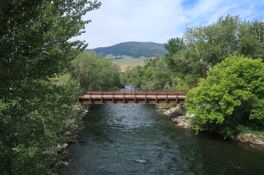
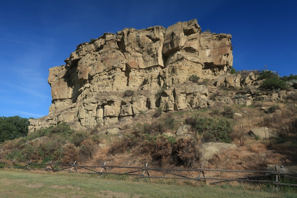
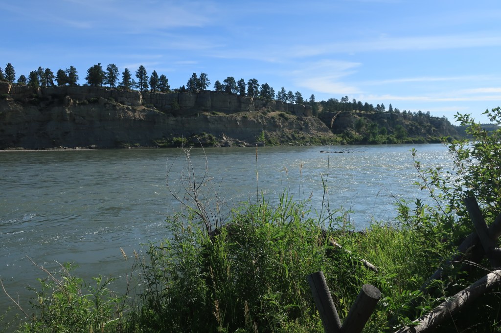
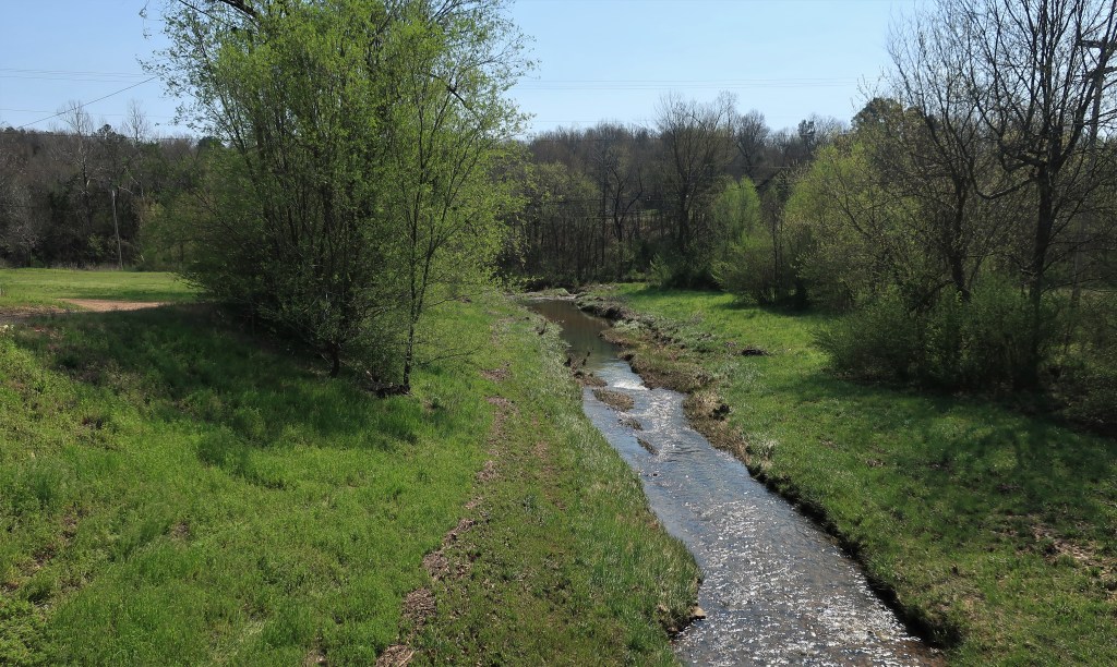
I had a lazy Saturday in store for me today as I planned a short ride into Nebraska, across the Missouri River into Missouri, and then on to one of my favorite towns — Clarinda, Iowa. The first stop is Brownville, Nebraska, a historic old Missouri River trading town established in 1854 as a river port. The coming of the railroads drove most of the river traffic away, so today Brownville is mostly a tourist town with the air of a museum.

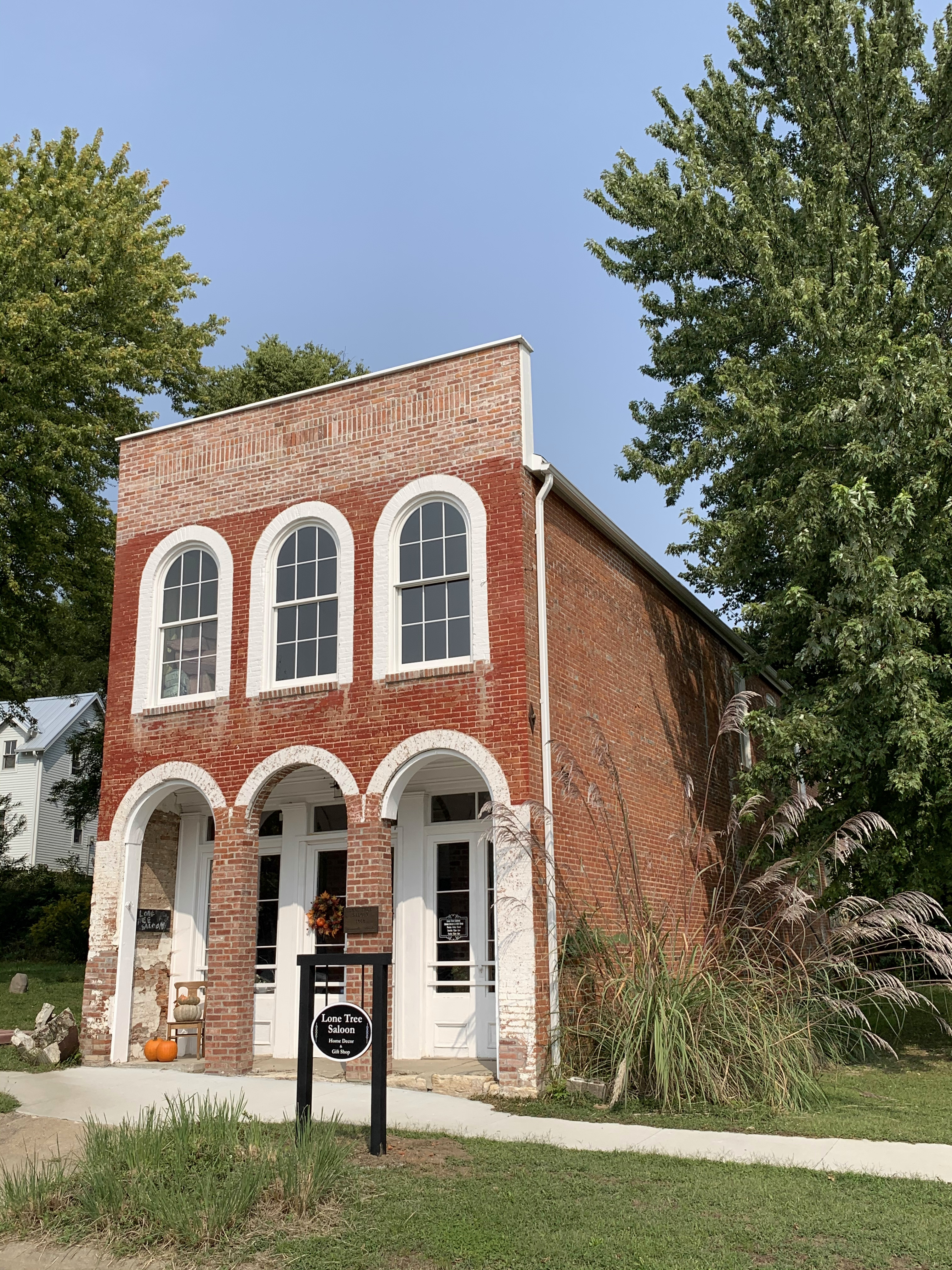
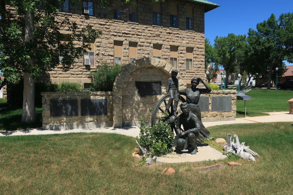
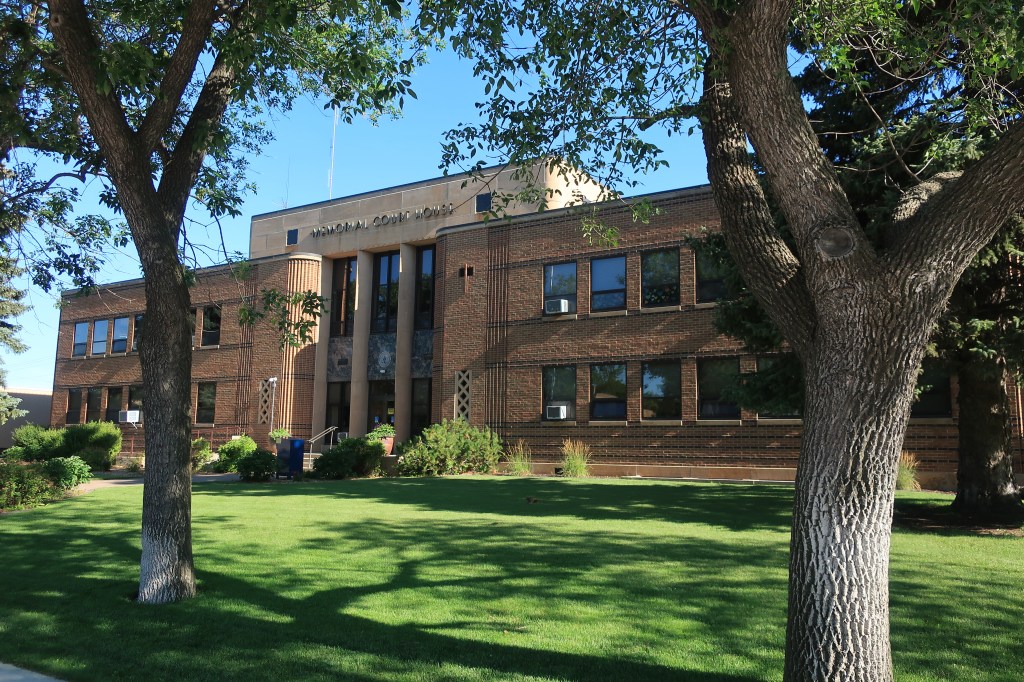
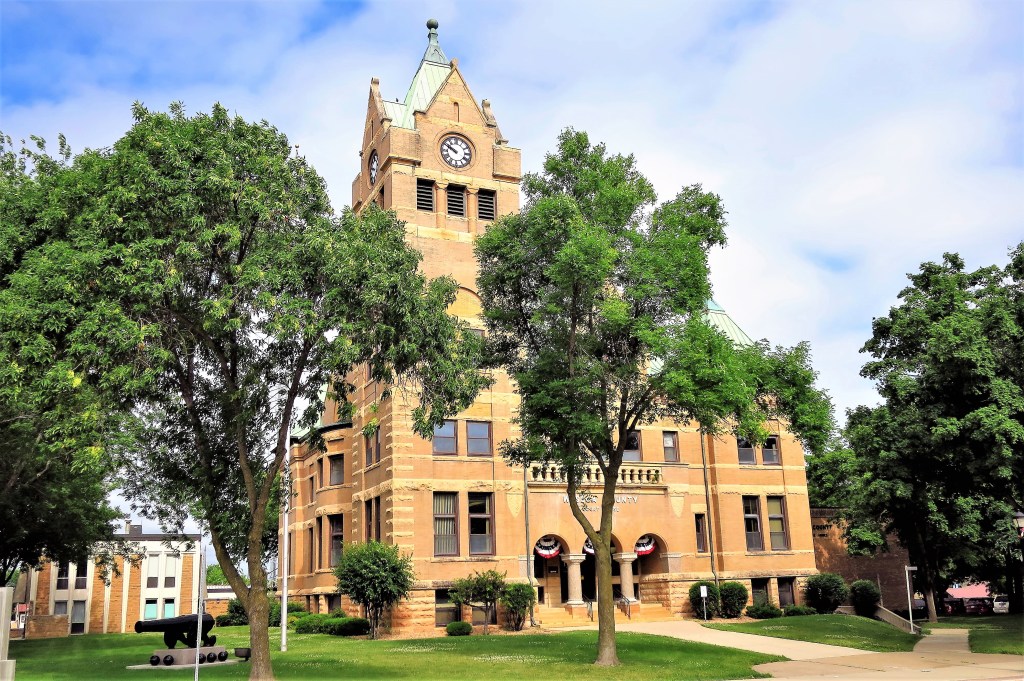
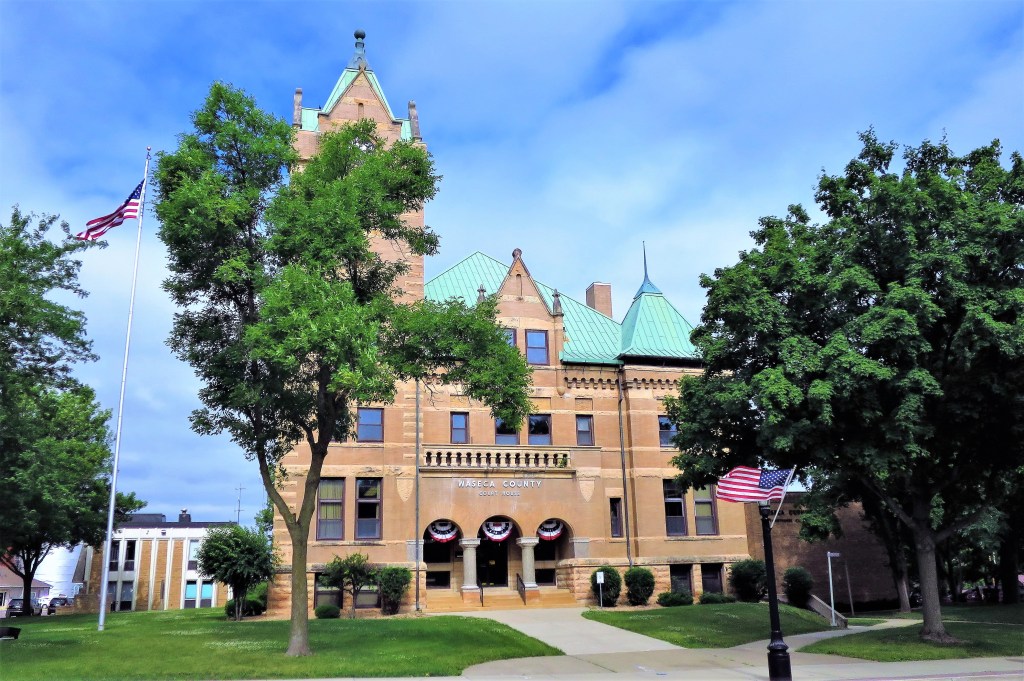
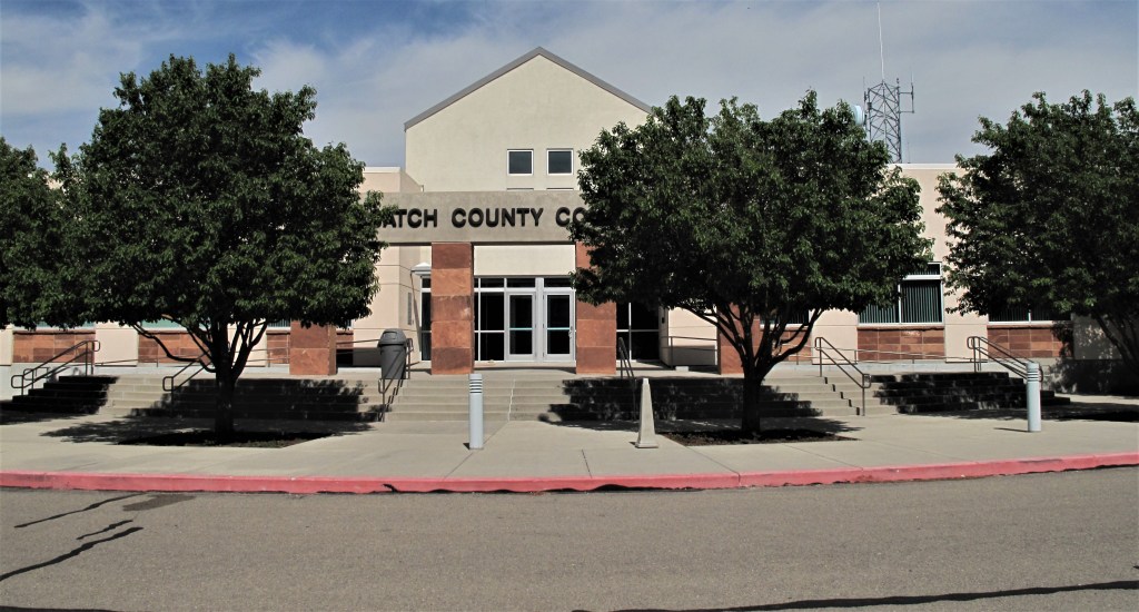
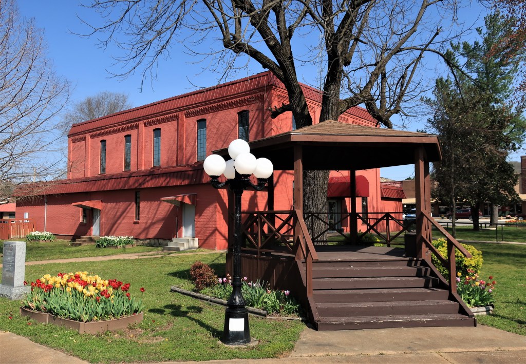
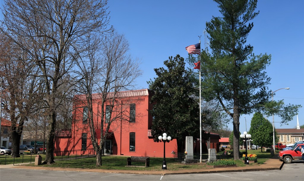
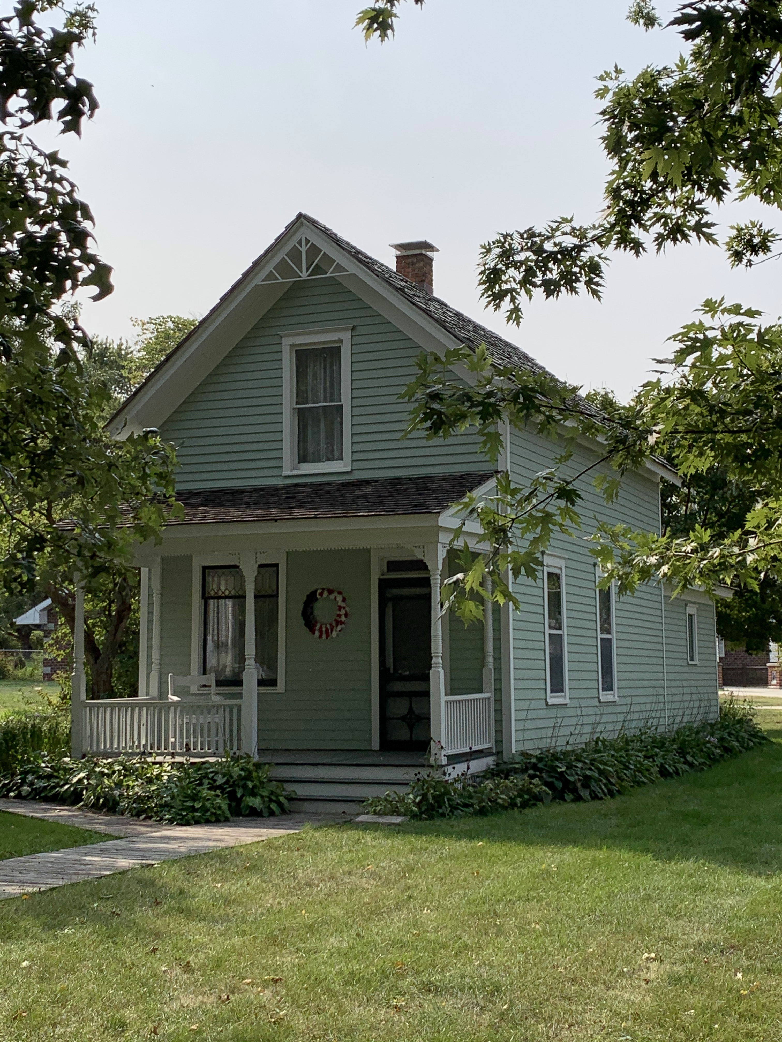
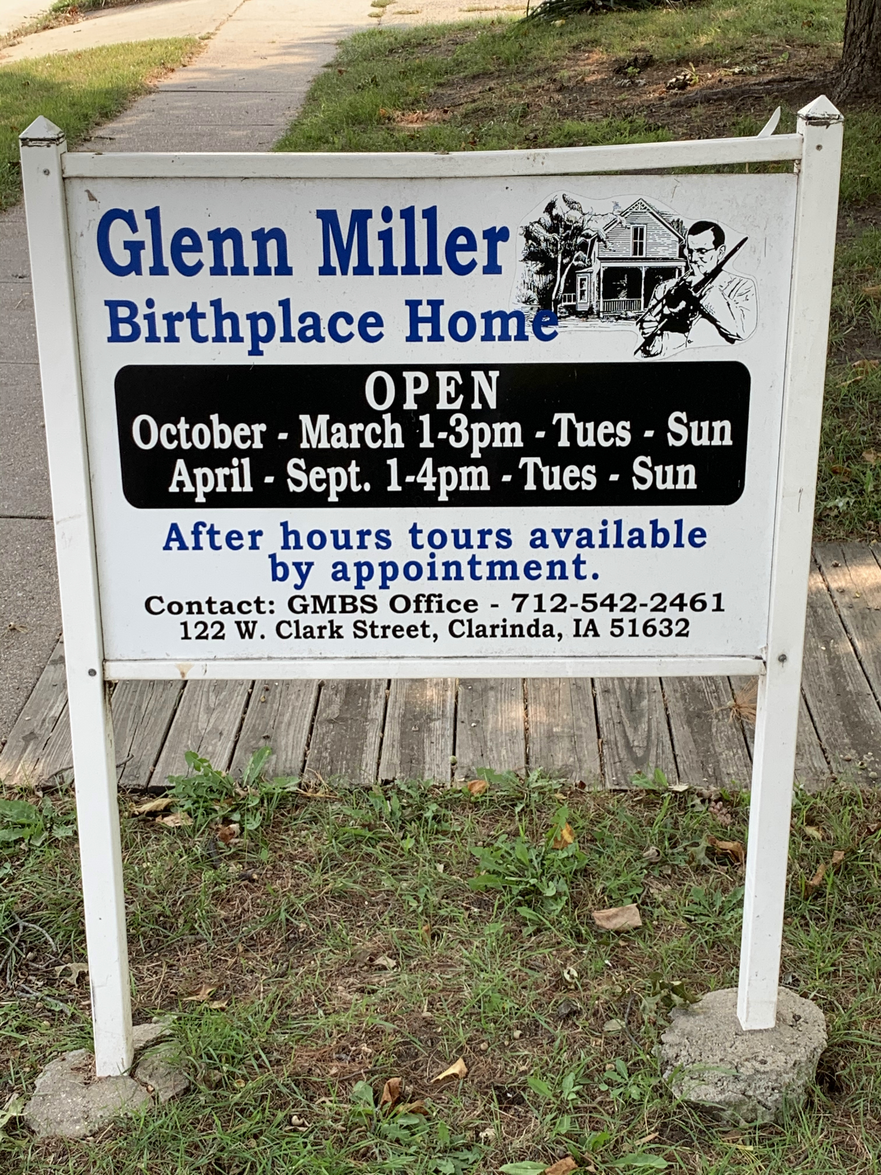
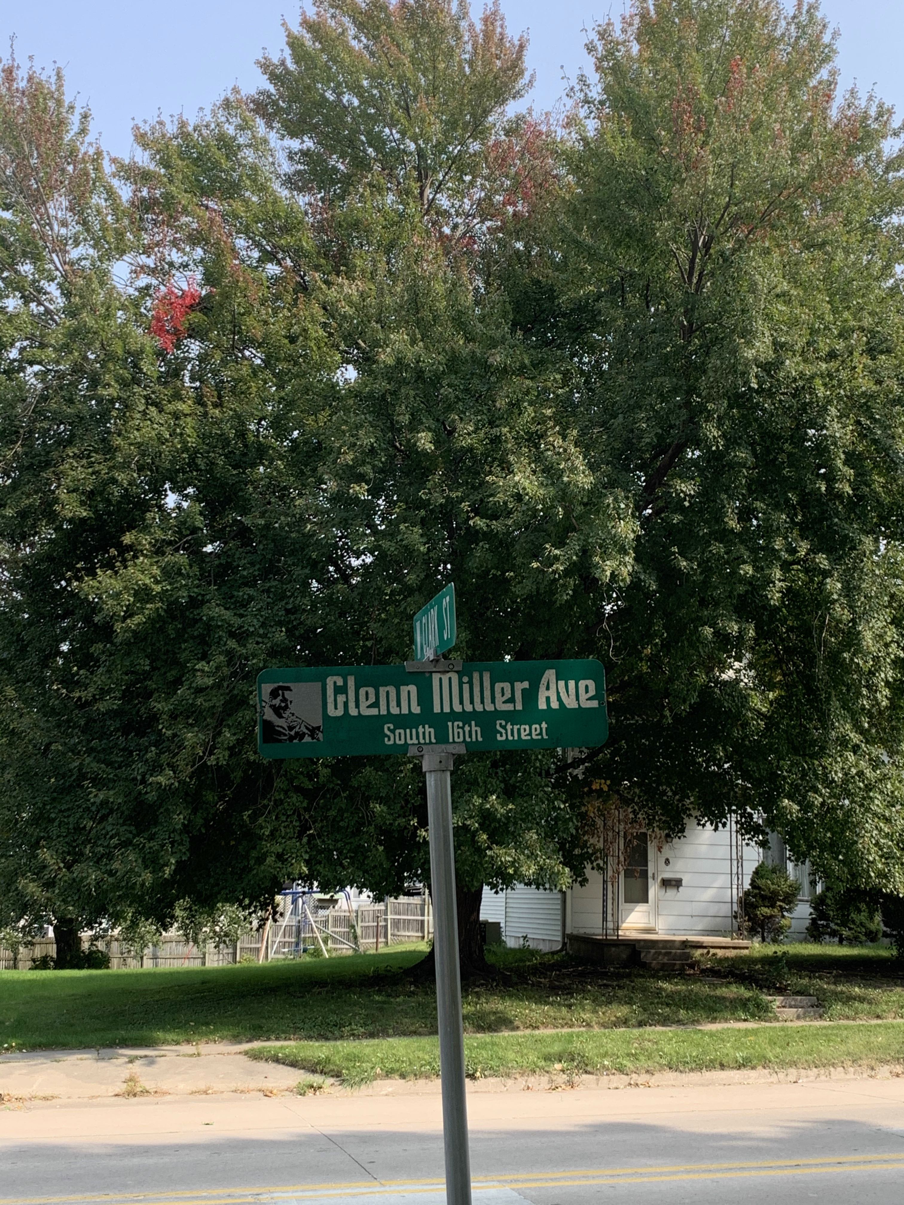
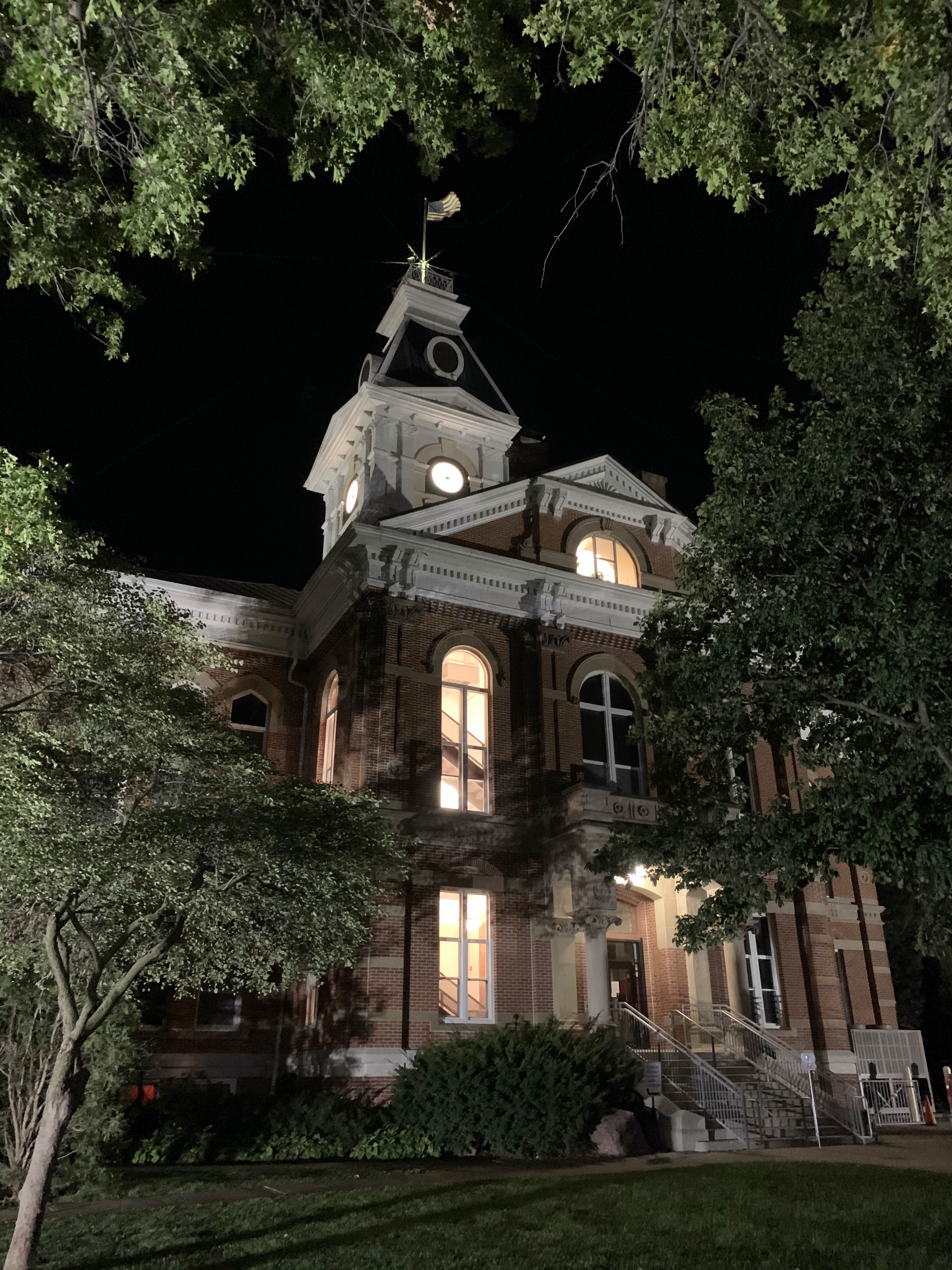
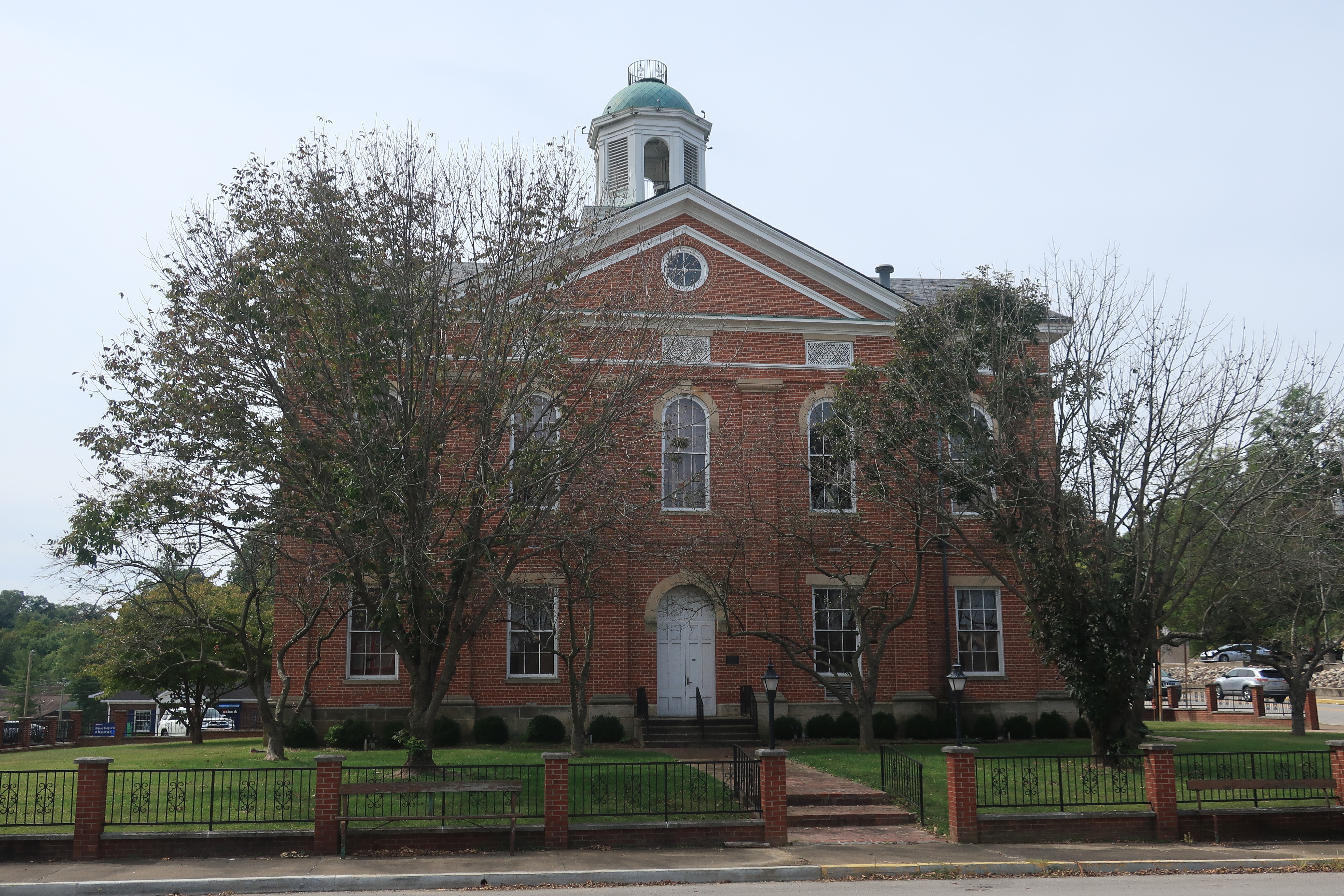
Clarinda, Iowa has a population of about 5,000 and features several sites including the birthplace of Glenn Miller and the historic Page County Courthouse. First stop — the Robin’s Nest Cafe for lunch.

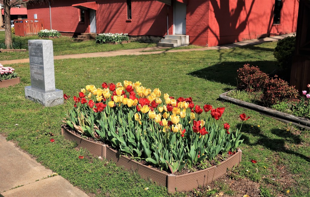
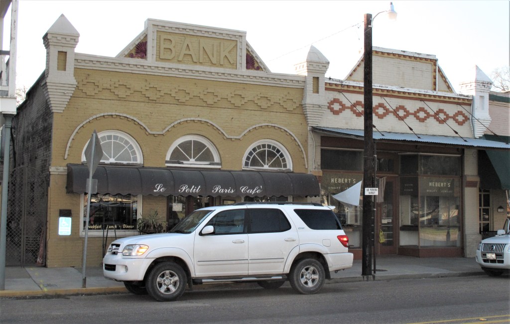
The town of Clarinda was laid out in classic Midwestern fashion with a central square surrounded by the town’s small businesses. The county courthouse occupies the middle of the square:
Links:
Page County (Courthouse) in Clarinda
Robin’s Nest Cafe and Bakery in Clarinda
Cobblestone Inn & Suites in Clarinda
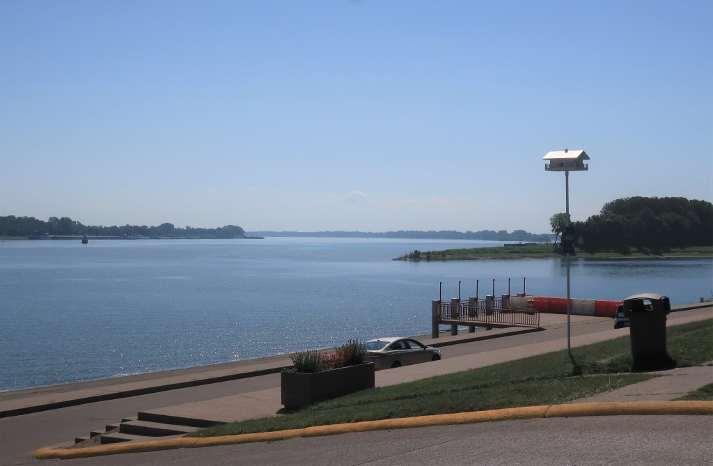
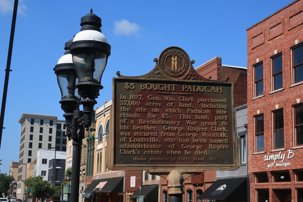
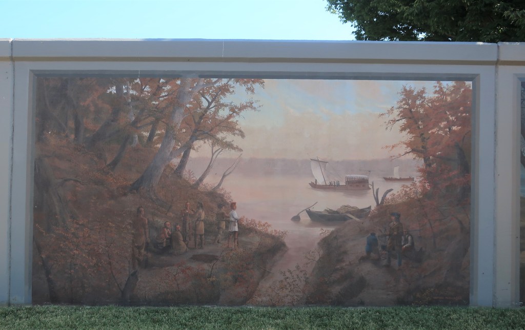
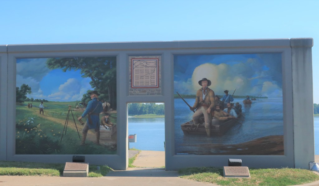
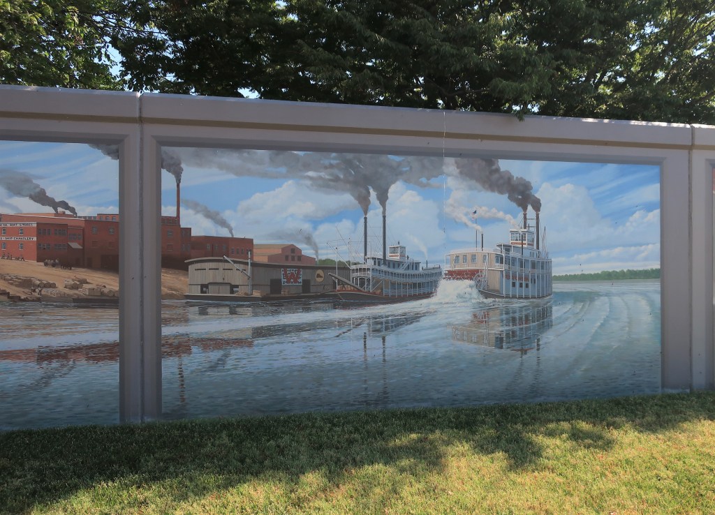
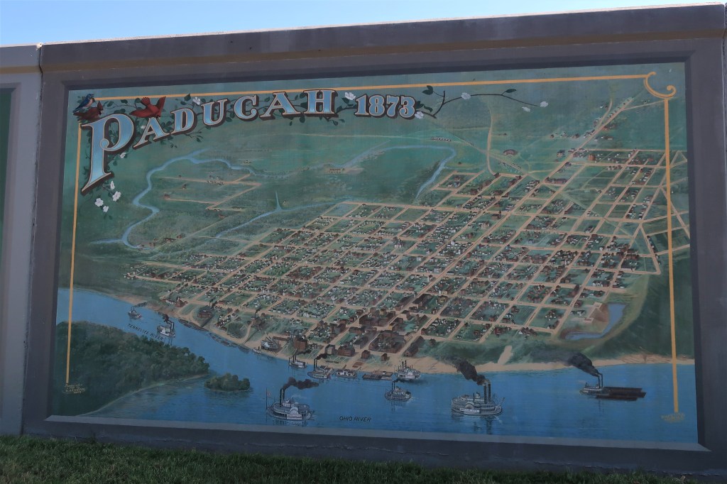
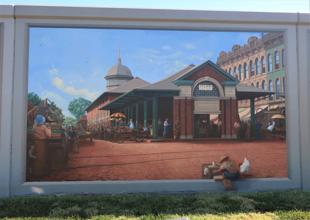
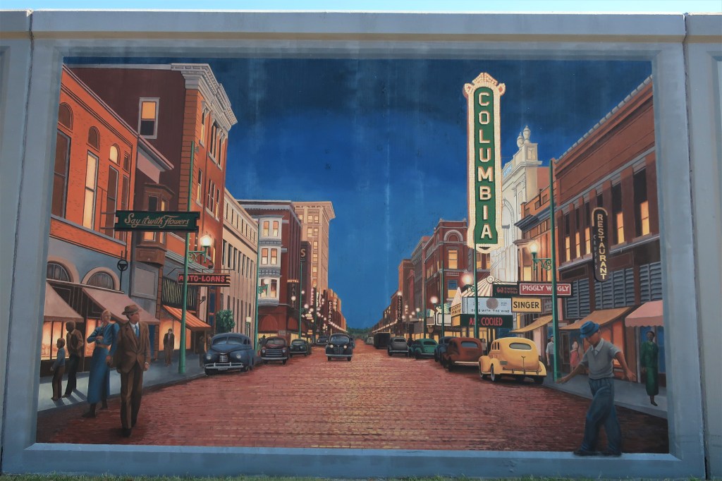
Sunday, September 20, 2020. Day 3: Clarinda to Paducah, Kentucky
Sunday morning was decision time. From Clarinda, I could head north into Minnesota, or Northeast into eastern Iowa and Illinois, or southeast to western Indiana and Kentucky.
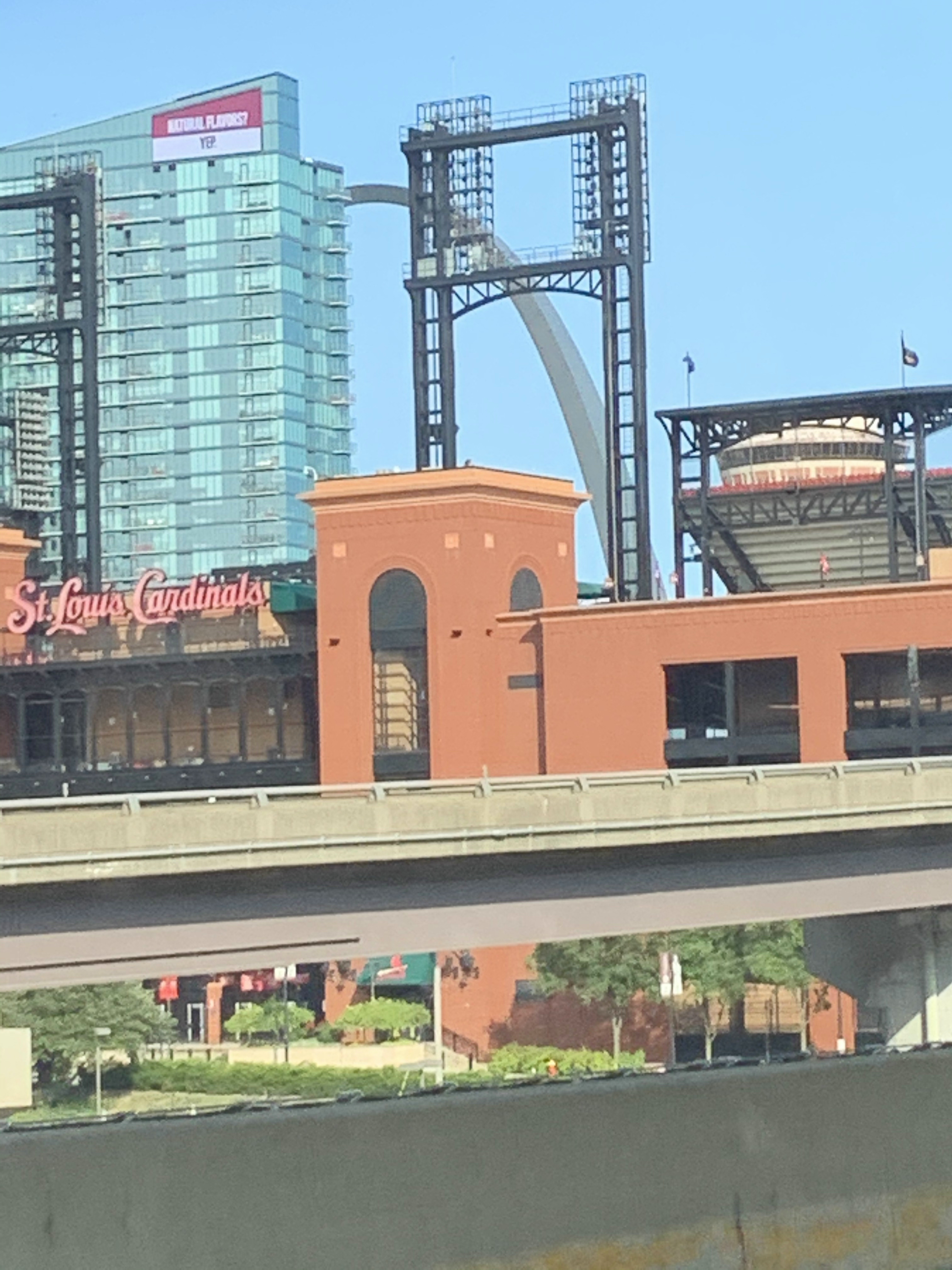
I usually let the weather forecast make these decisions for me. Today, Indiana/Kentucky had the best forecast outlook for the week so off I went to the southeast. Sunday’s drive would take eight hours through St. Joseph, Missouri, across the state of Missouri on U.S. Route 36 to the Mississippi River, then southeast to St. Louis, across the Mississippi at that point into Illinois, then south to the Ohio River and across it into Kentucky.
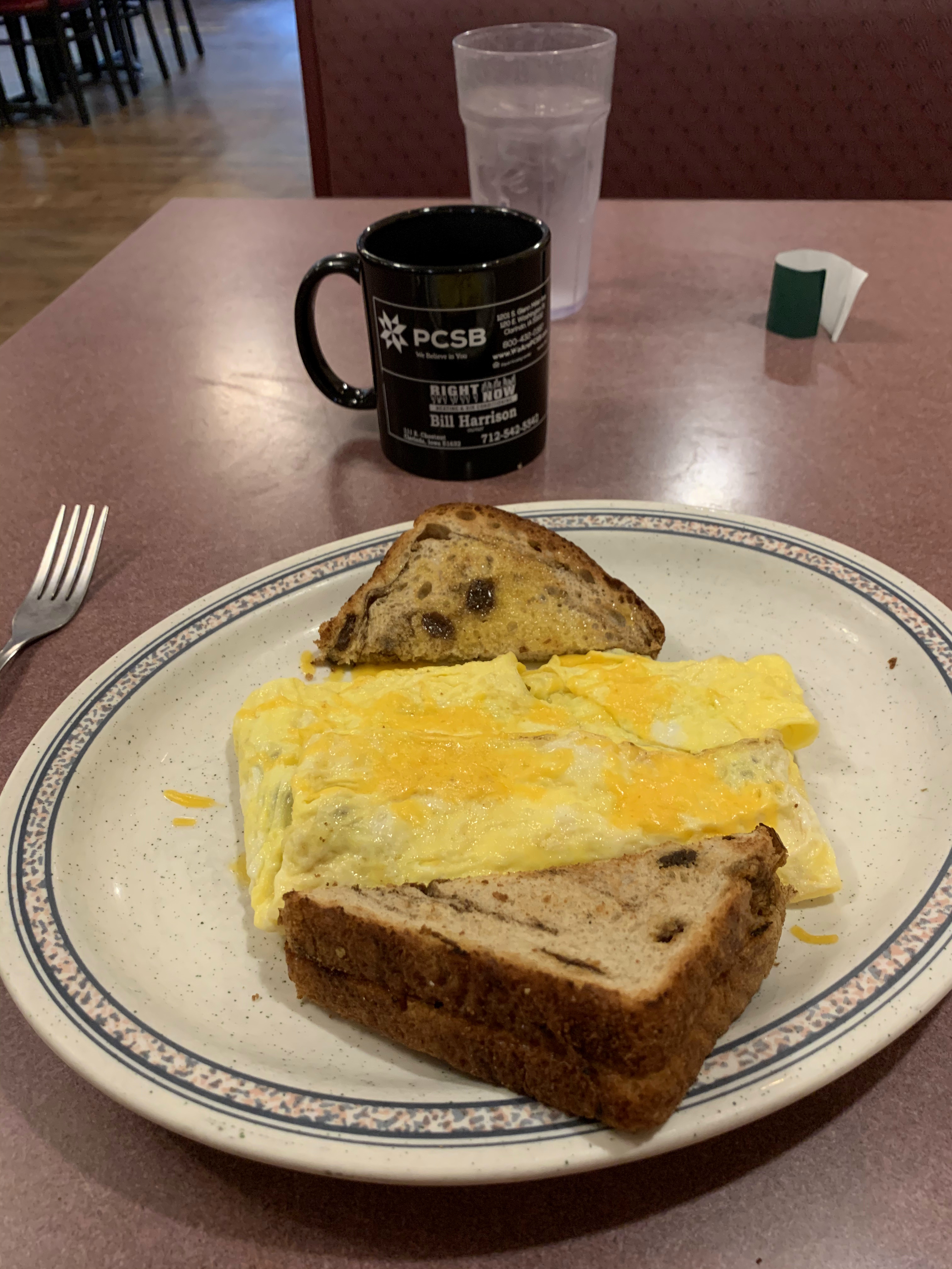
But first, breakfast at the Robin’s Nest:
Monday, September 21, 2020. Day 4: Paducah to Owensboro, Kentucky
Breakfast at Burger King (my usual fully-loaded croissanwich), then a 2 1/2 hour drive to Boonville, Indiana, including a 1 1/2 hour stop at a Dairy Queen parking lot in Henderson, Kentucky to take part in a business call. It’s nice not having to be chained to an office, isn’t it?
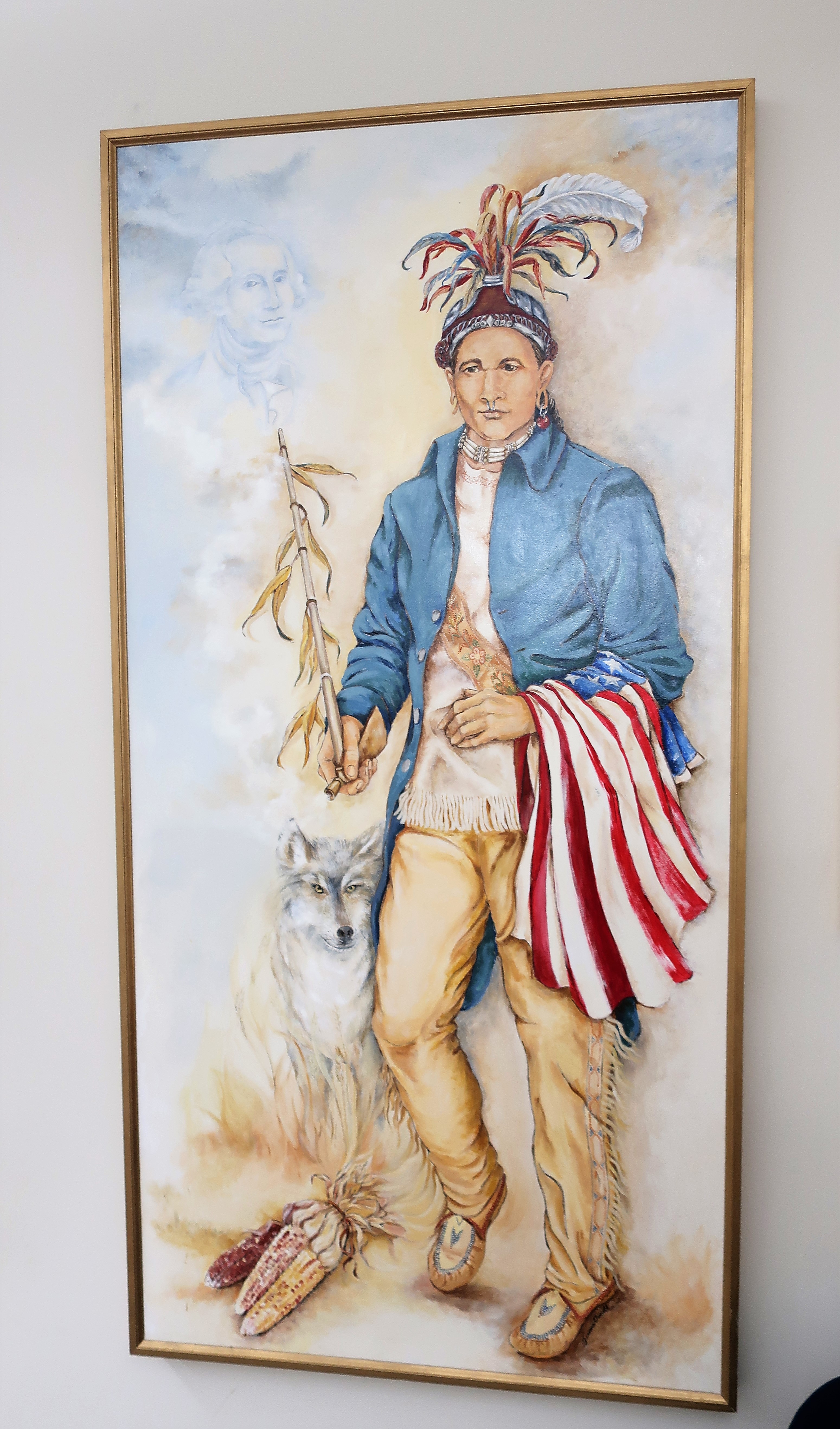
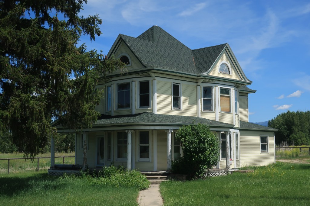
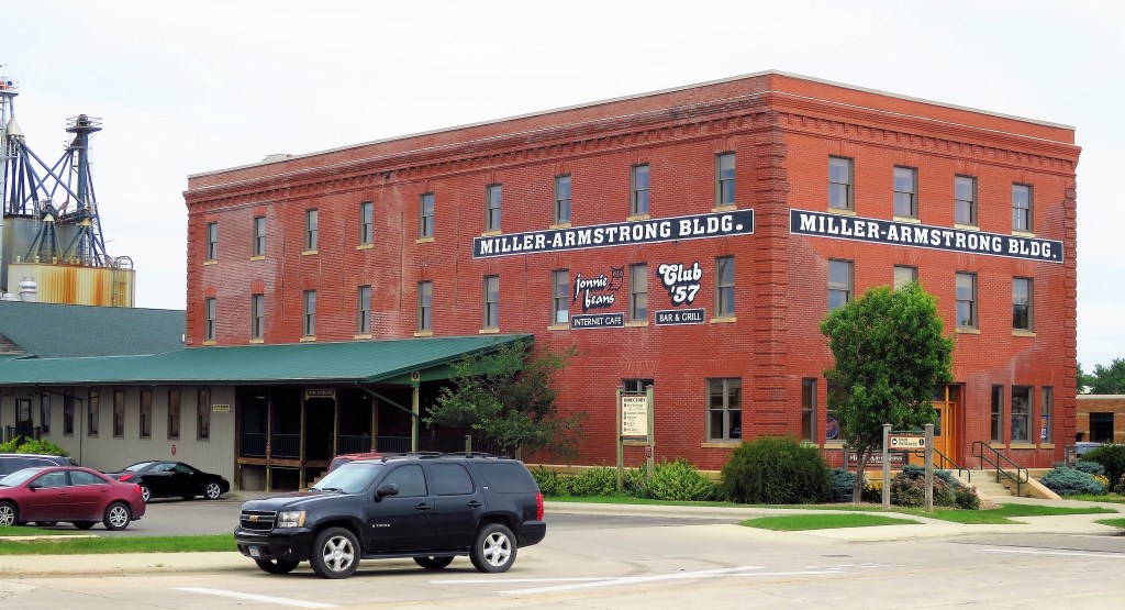
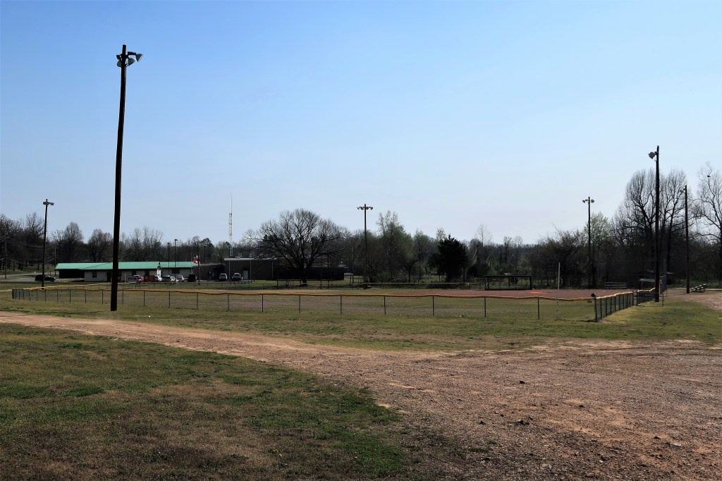
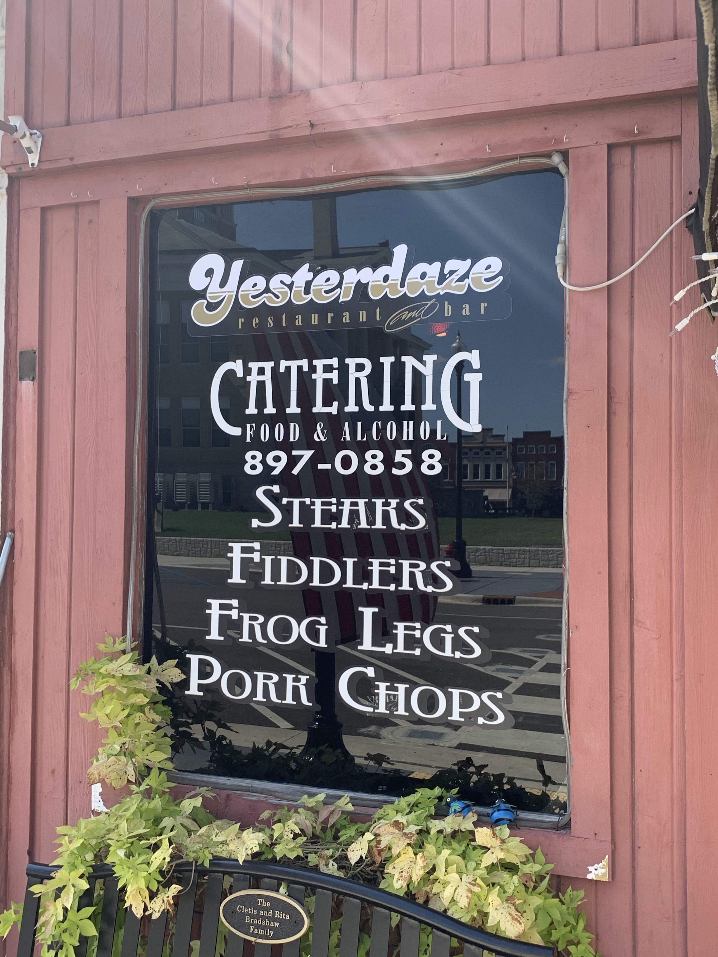
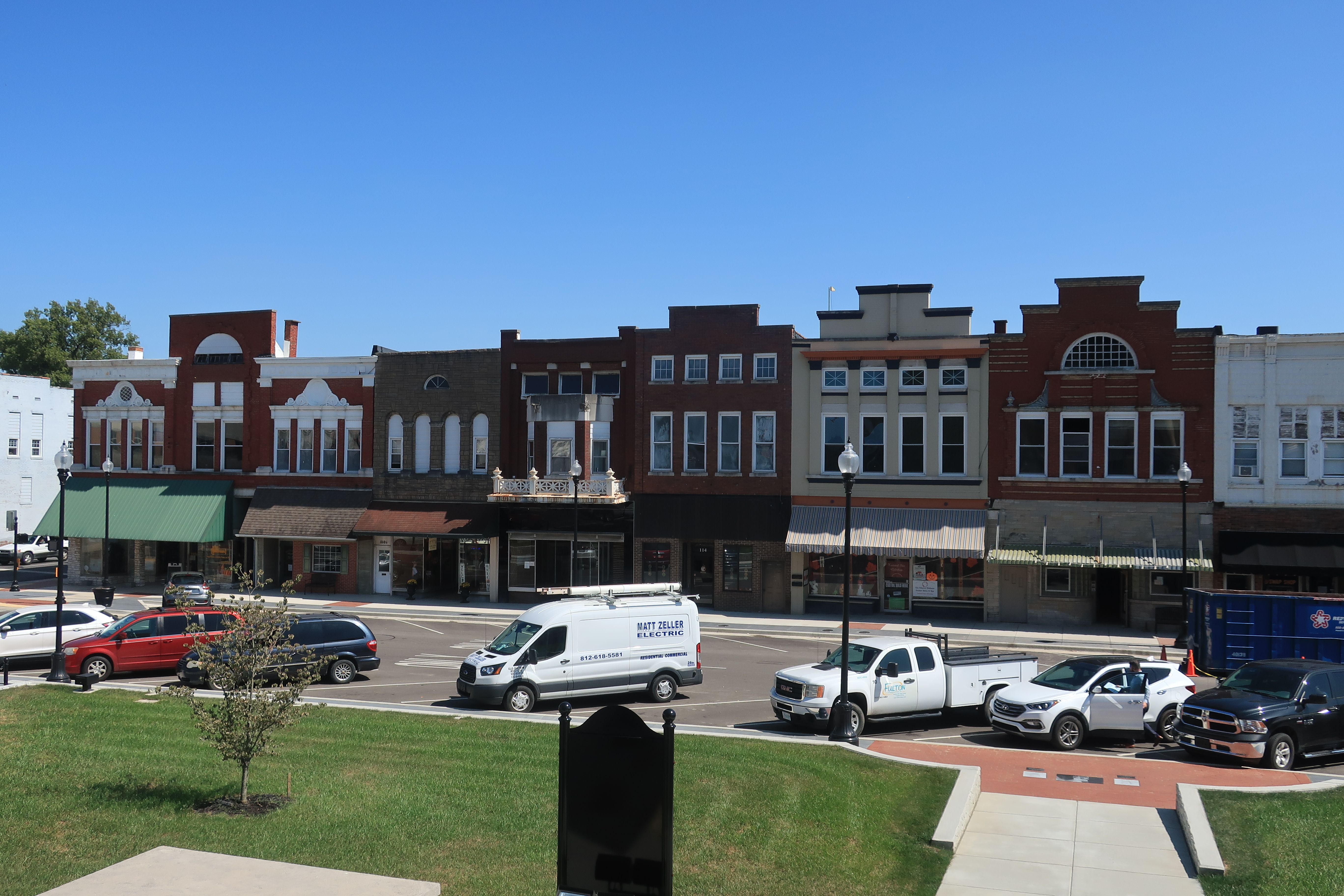
In Boonville, I found a stately old courthouse…

…a piece of Americana inside the courthouse…

…a Lincoln-related historical marker…
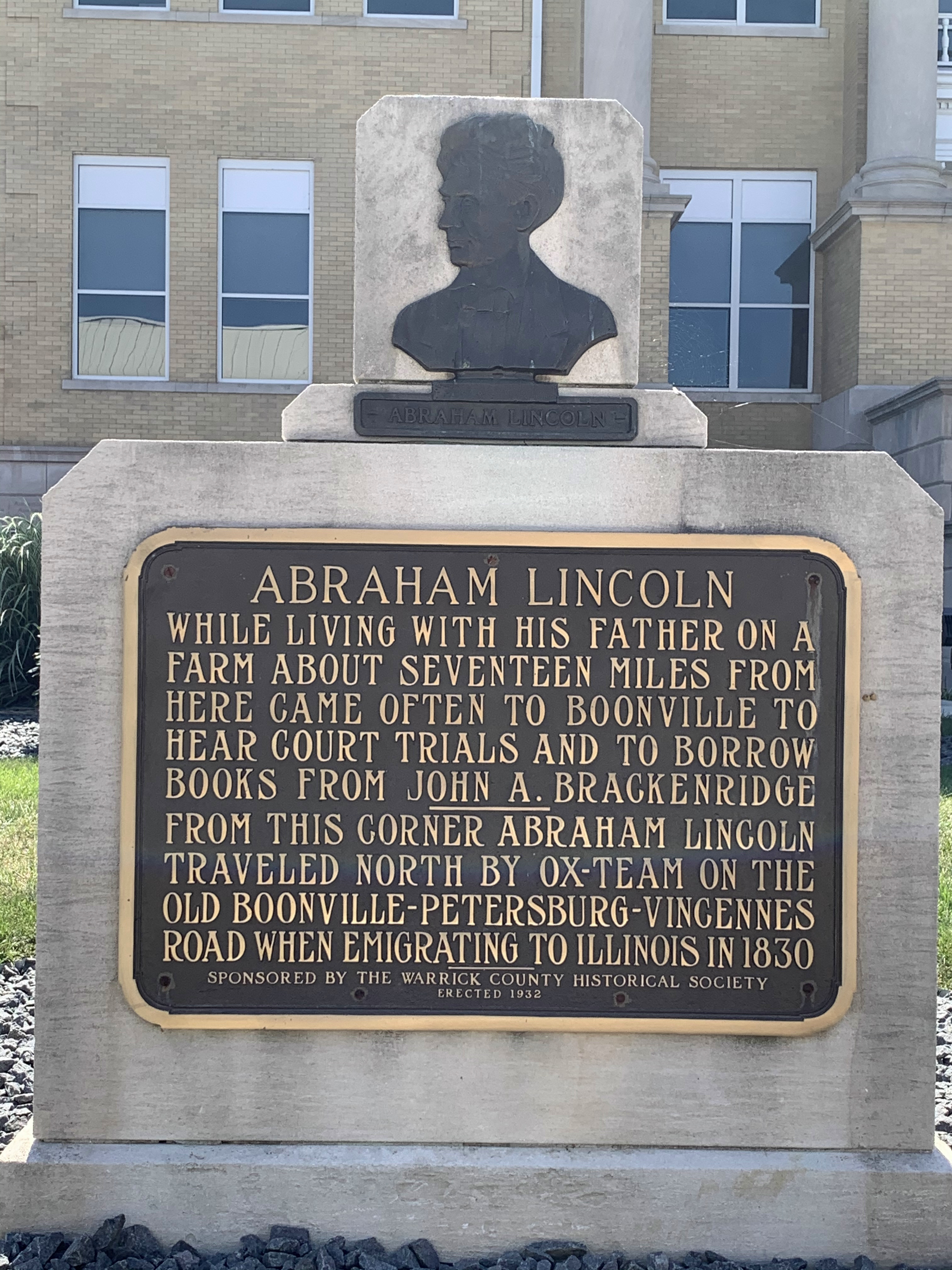
…and some eclectic food choices from the bar in the town square:
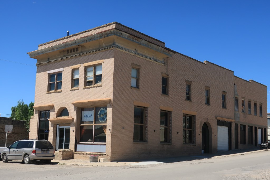
Look at this business block. Couldn’t this be just about any Midwestern small town?
I had a footlong and a shake at a nearby Tastee Freeze.

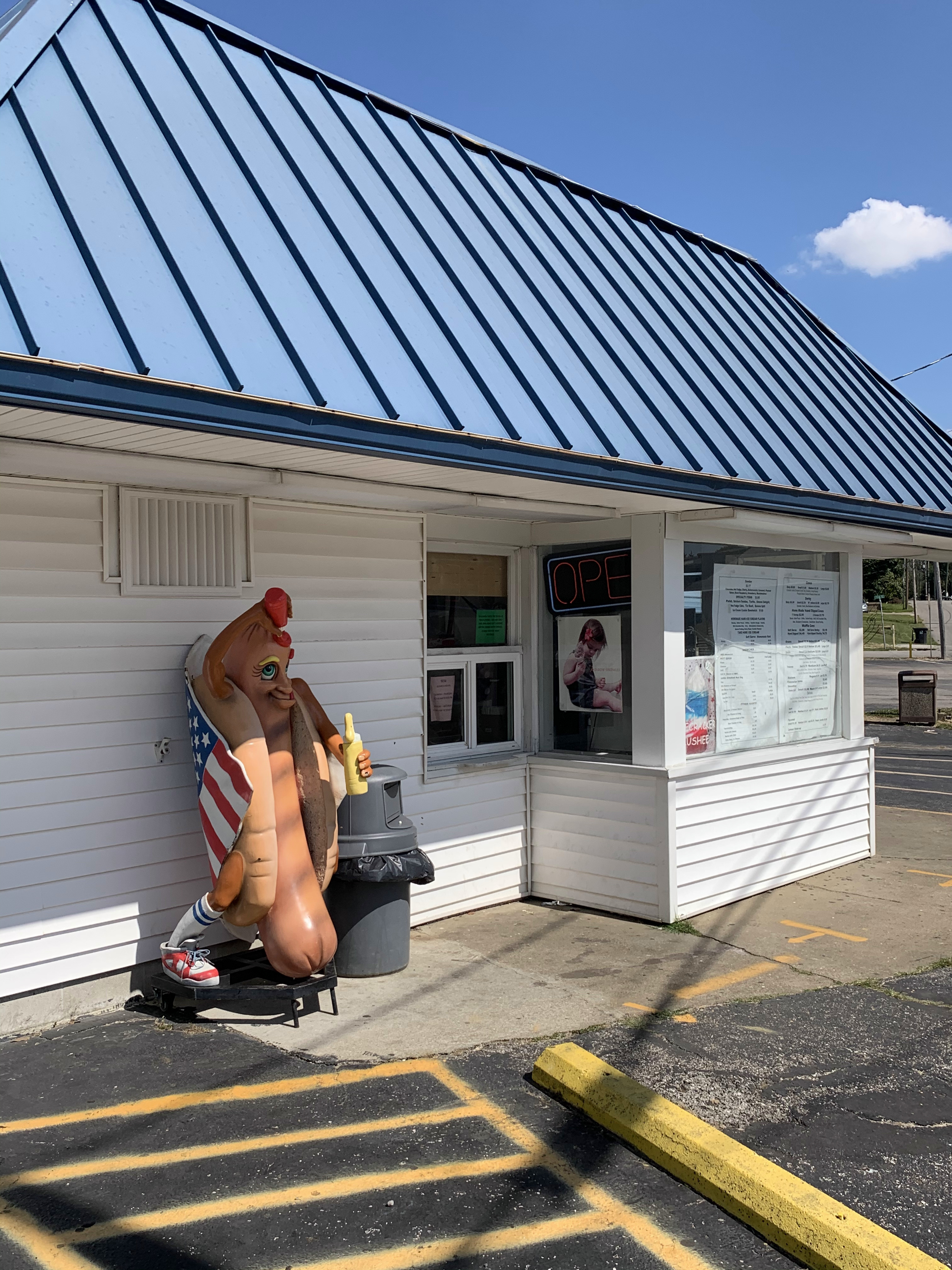
Upon seeing these photos April Gregory asked if I had seen Jack and Diane outside the Tastee Freez? Why yes I did April, just like in the song!
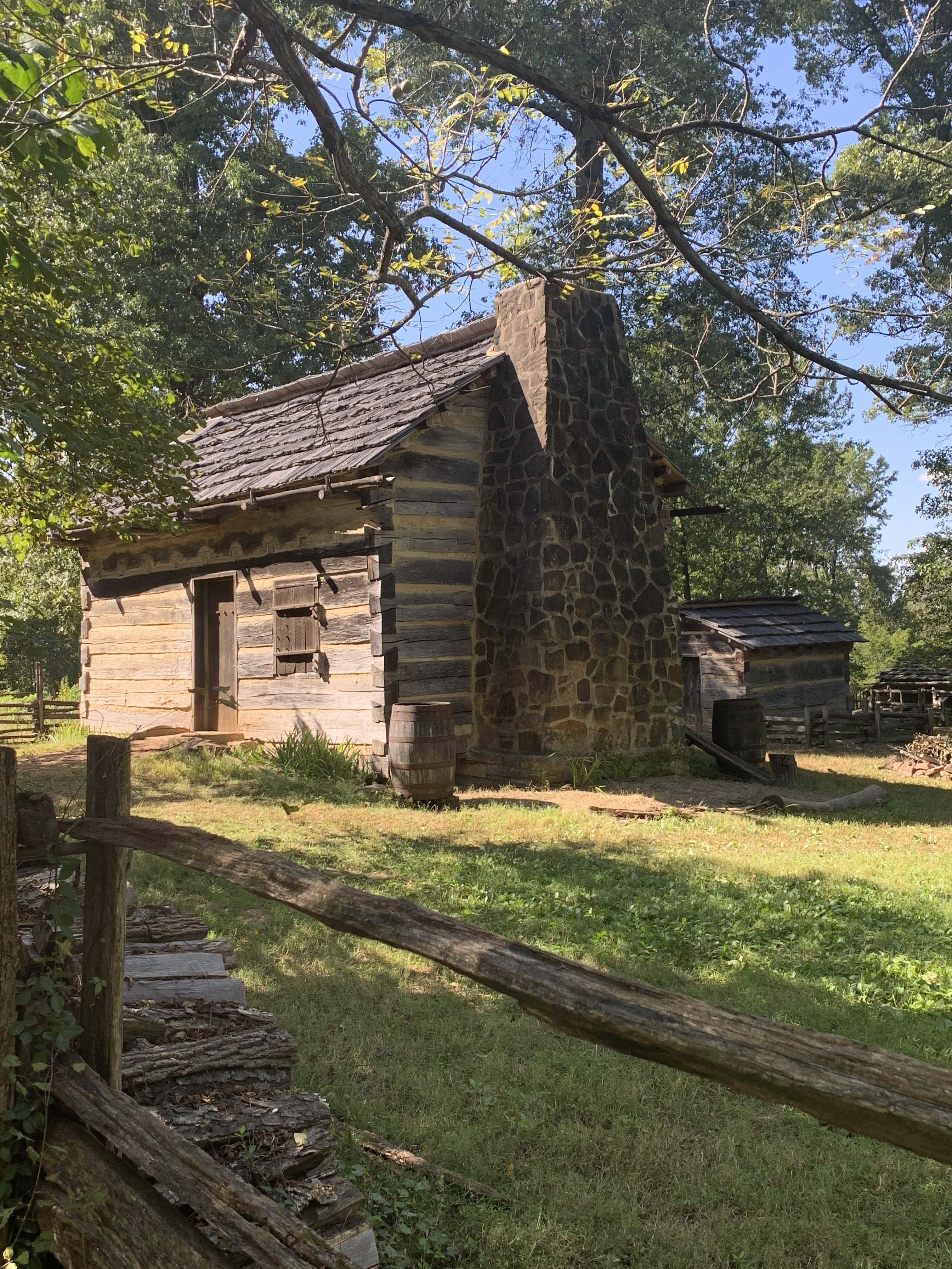
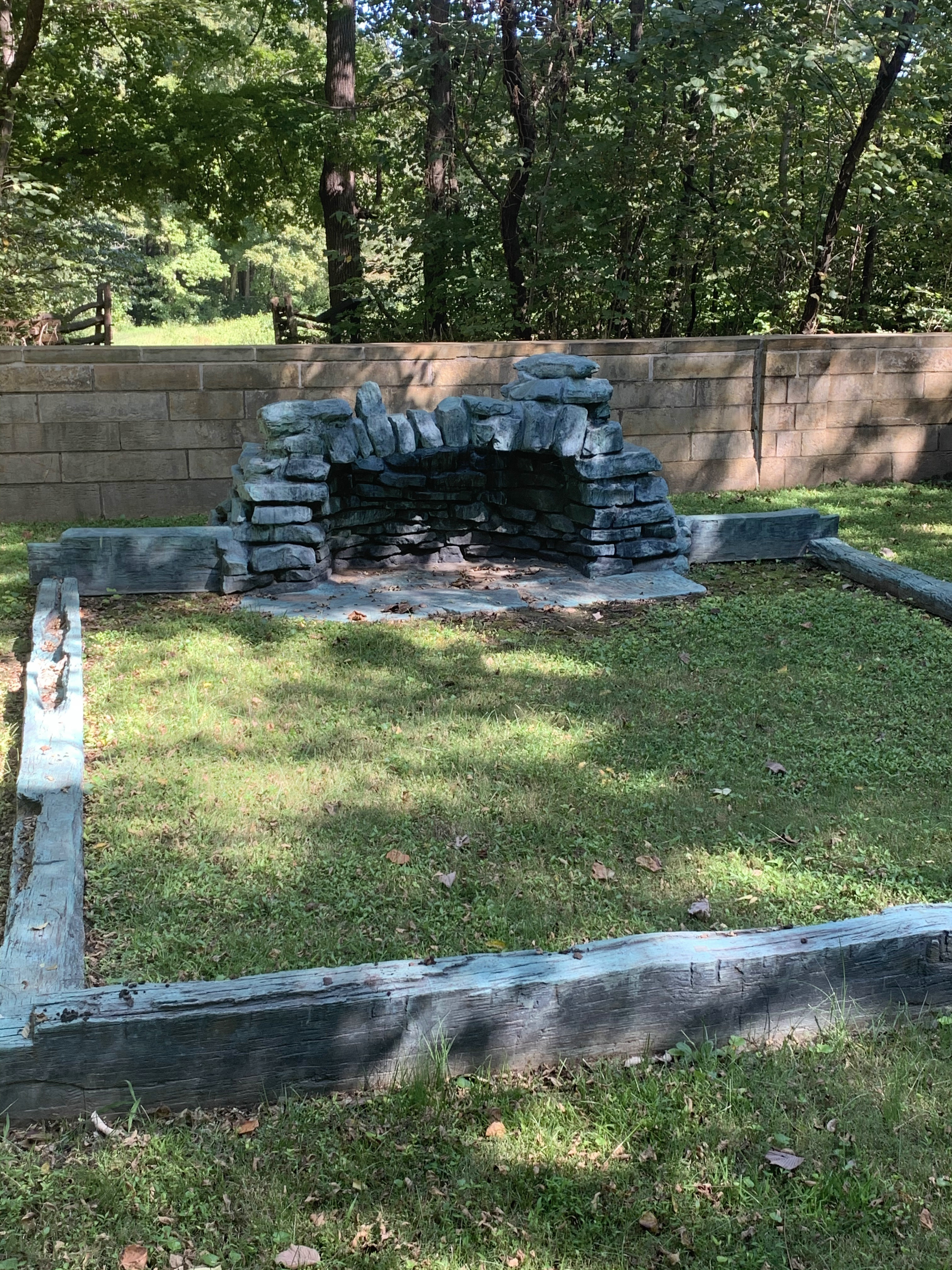
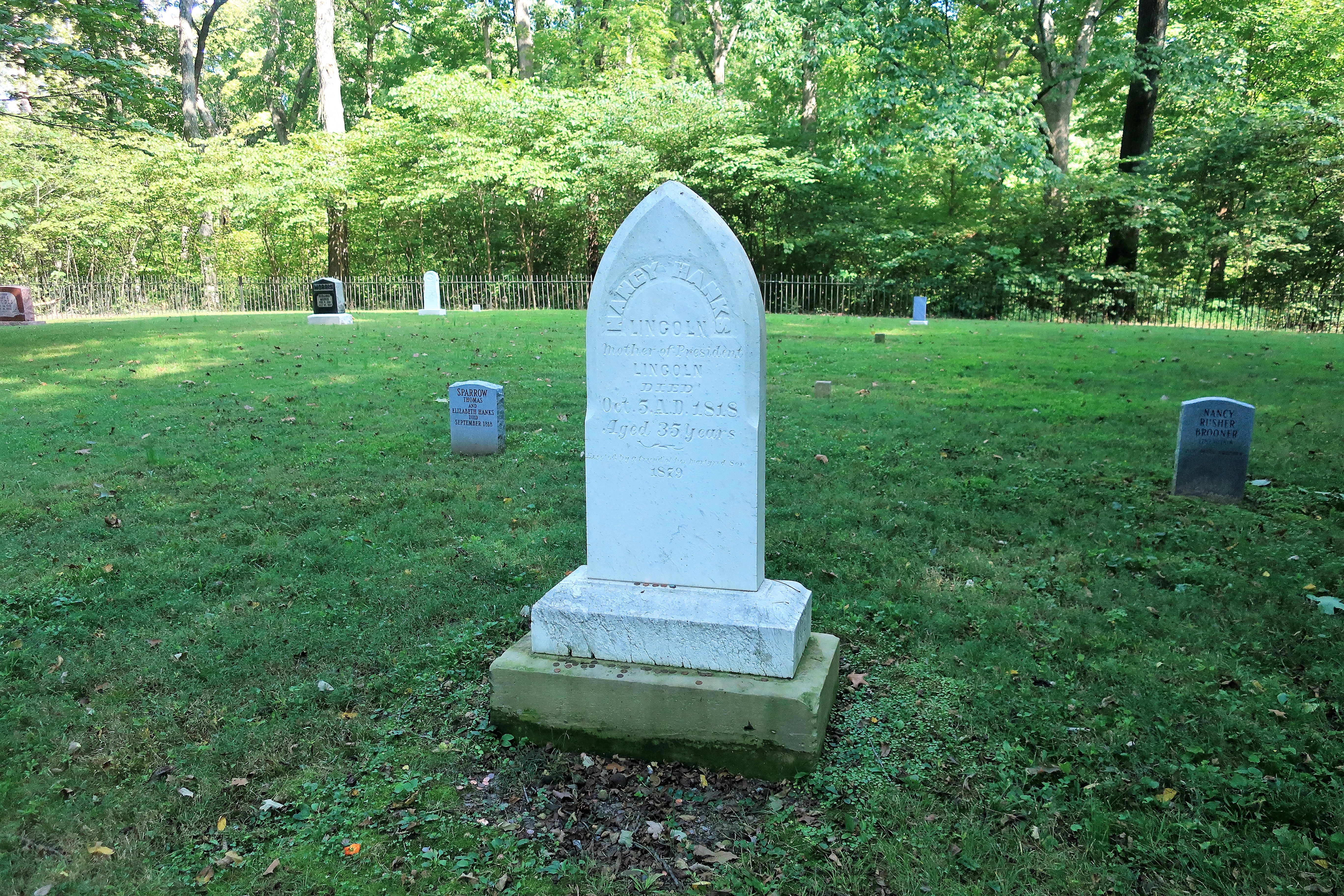
The Lincoln Boyhood Home National Memorial is 20 miles east of Boonville in Spencer County, Indiana. Lincoln spent his childhood years on his father’s farm here before going off to Illinois as a young man to be on his own.
Off to Rockport, Indiana, the county seat of Spencer County, on the banks of the Ohio River. The town is situated on a bluff above the river, allowing for some million-dollar views on a sunny September day.


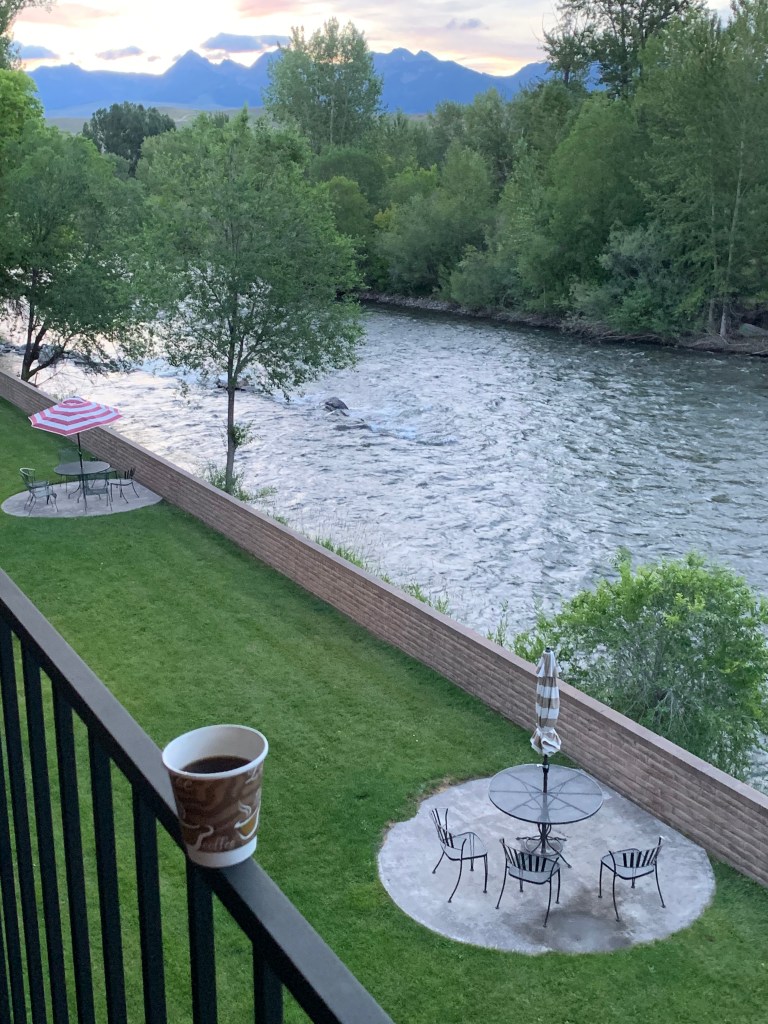
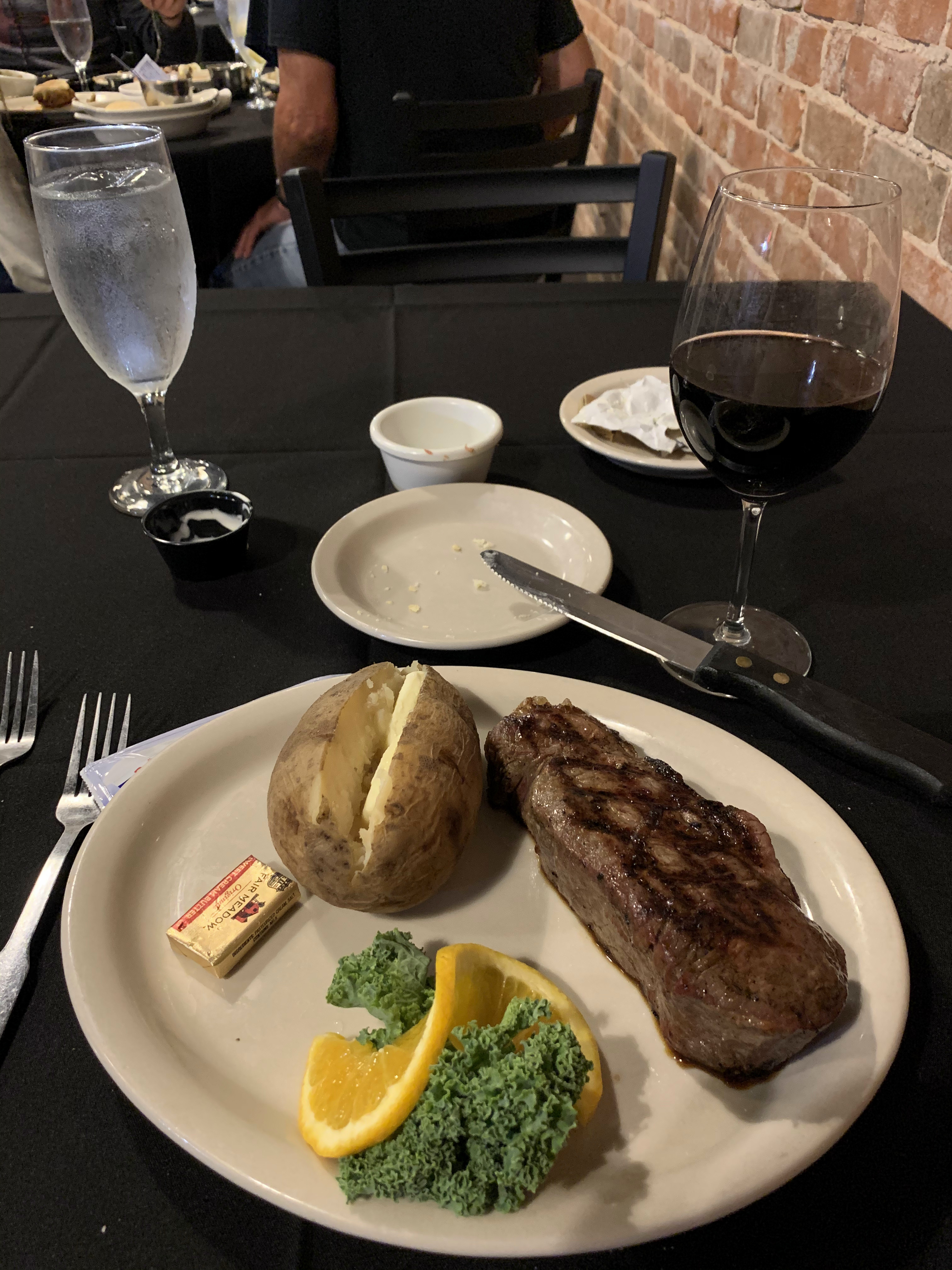
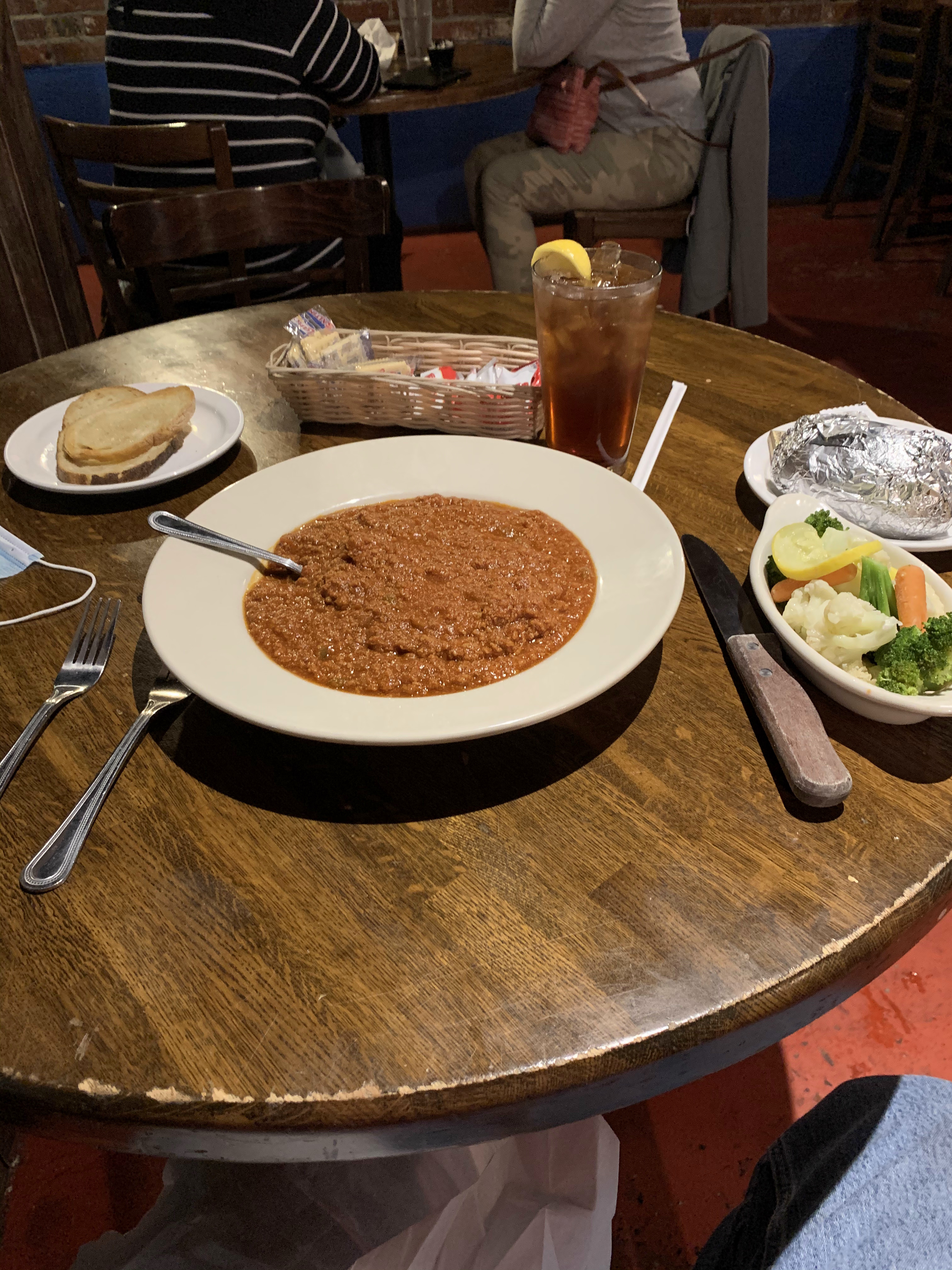
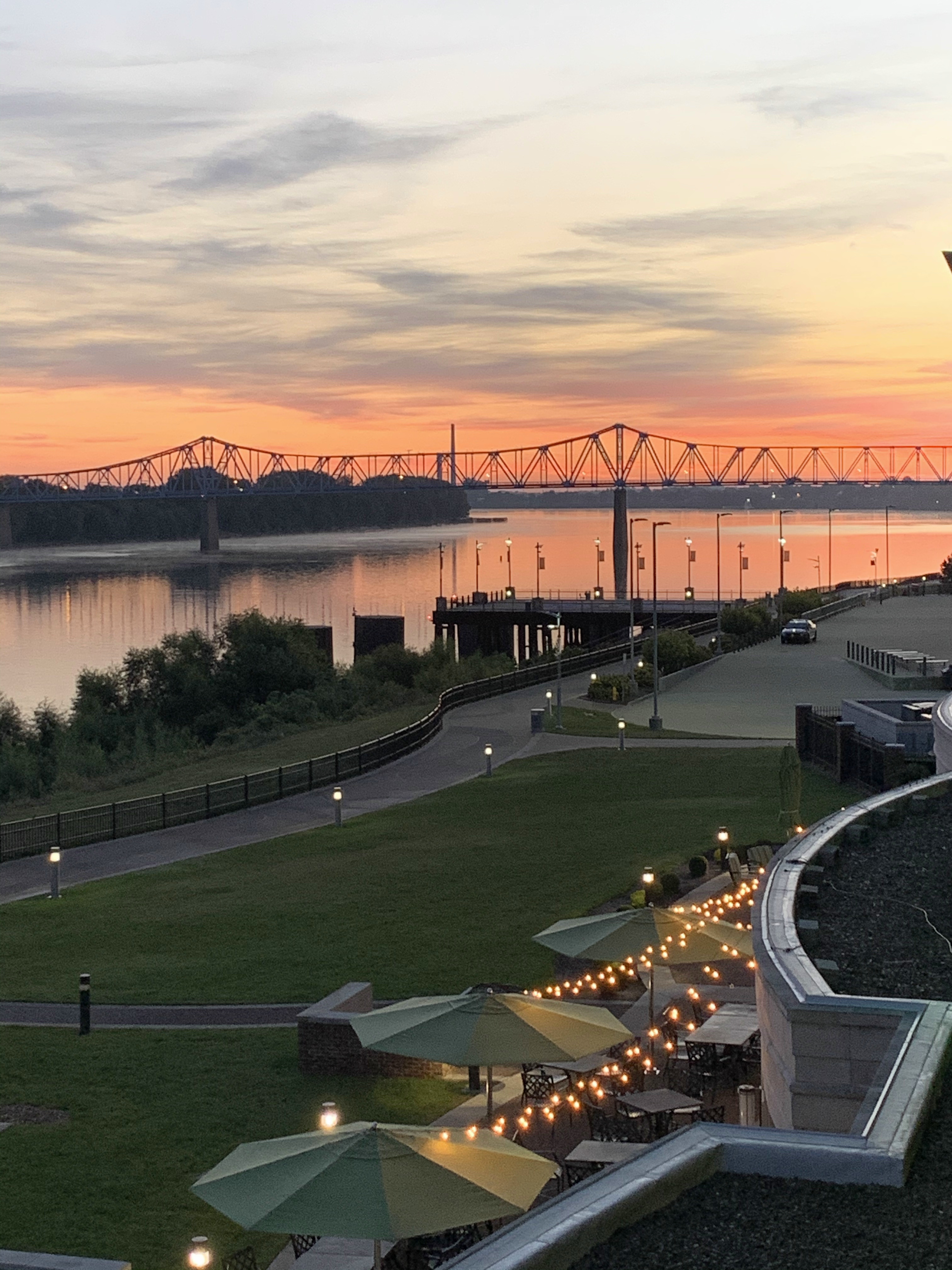
I next drove downriver to Owensboro, Kentucky, for a night at the Holiday Inn Riverfront. But first, dinner at Colby’s Fine Food & Spirits.

I forget what the main course was.
Links:
Holiday Inn Riverfront, Owensboro
Colby’s Fine Food & Spirits, Owensboro
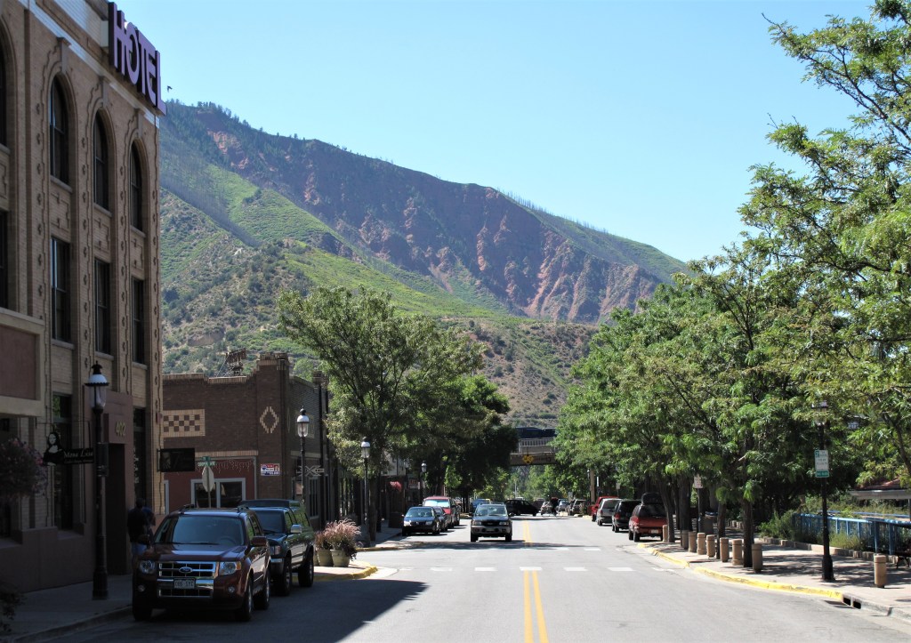
Tuesday, September 22, 2020. Day 5: Owensboro to Tell City, Indiana
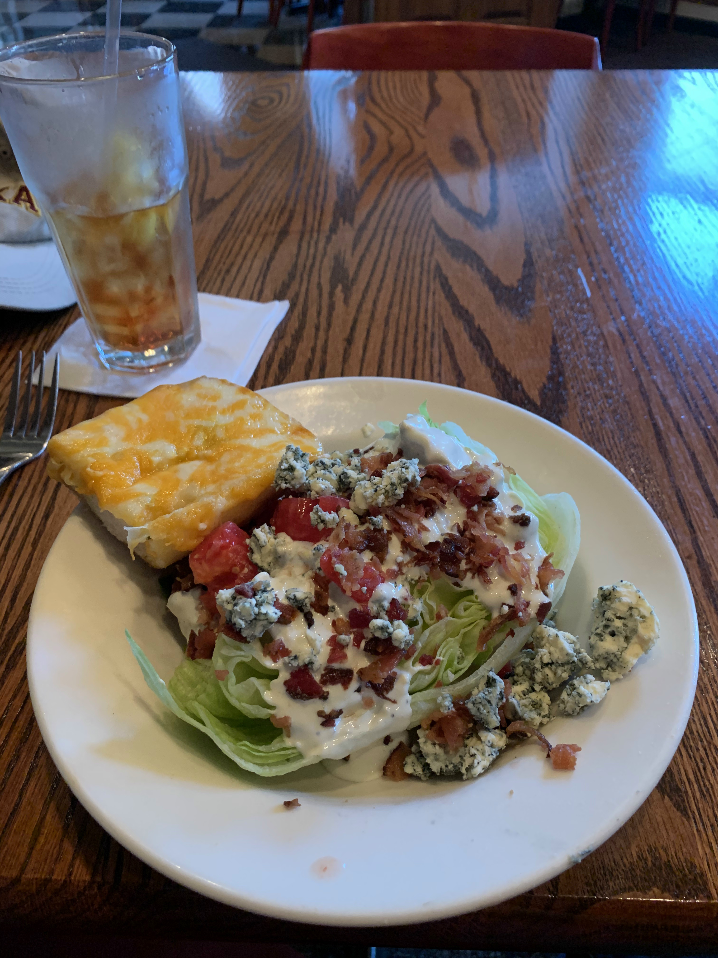
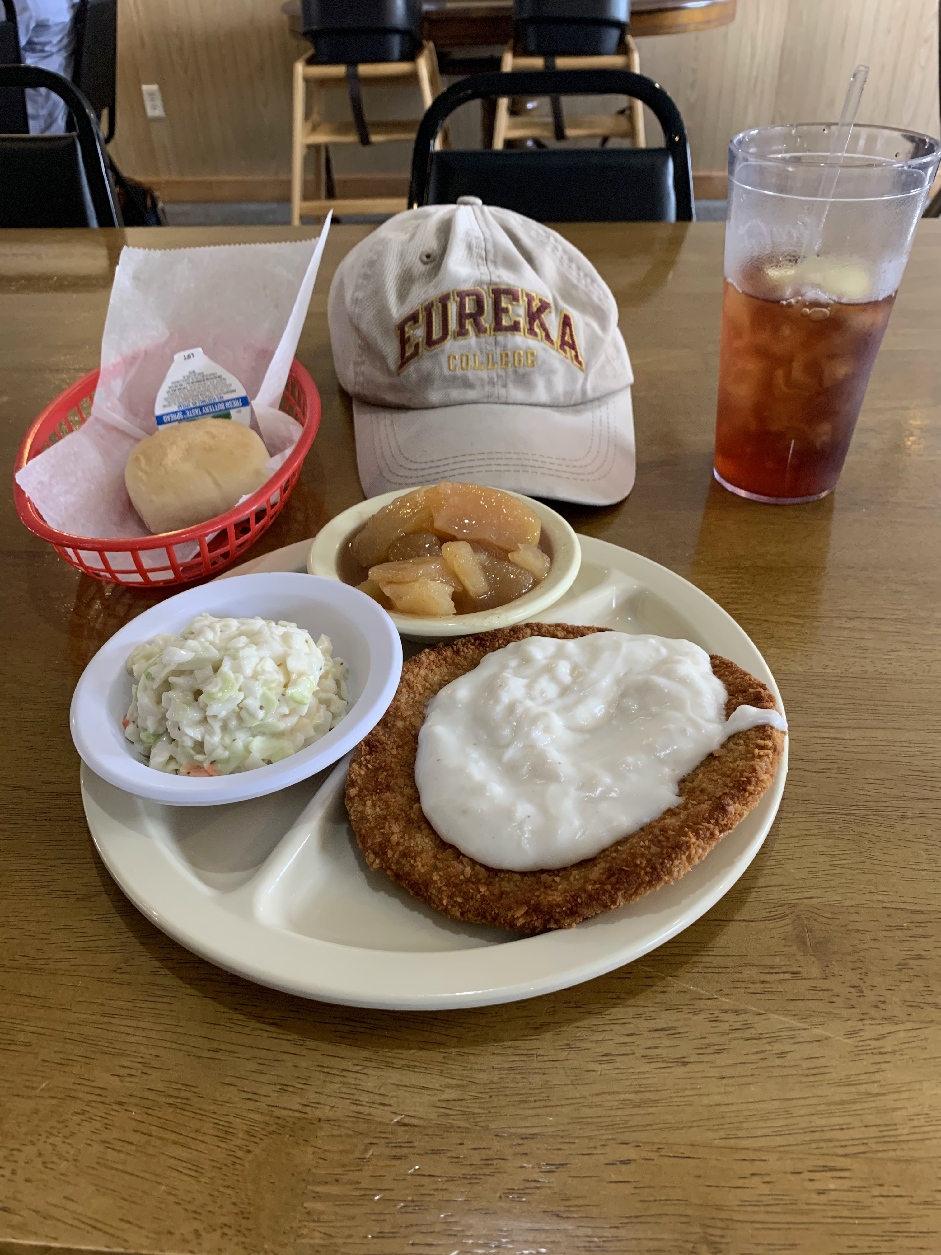
First things first — find the town’s signature diner. That’s Dee’s Diner on East 4th Street in Owensboro.
No red gravy was available with their signature ham slice. Drats!
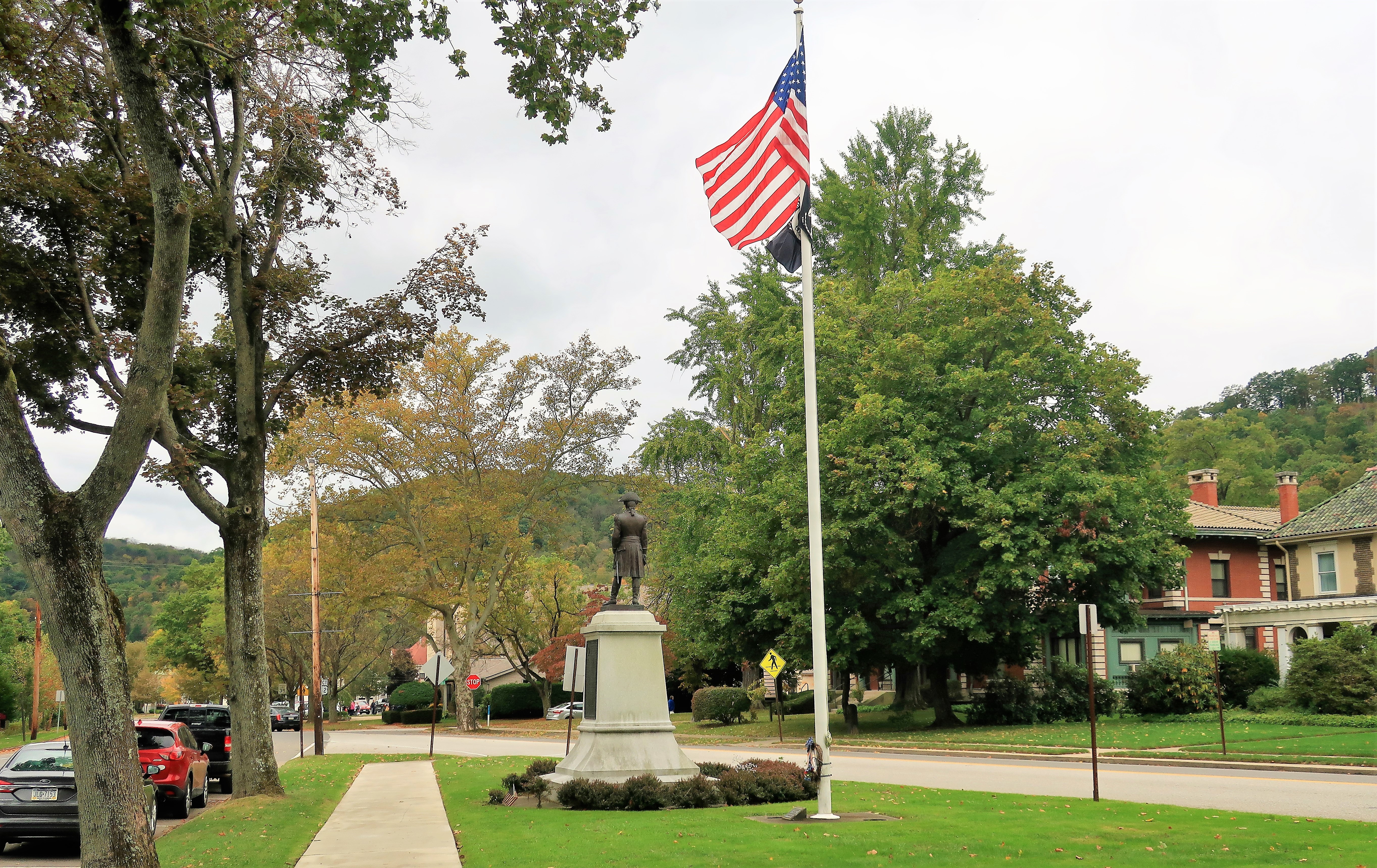
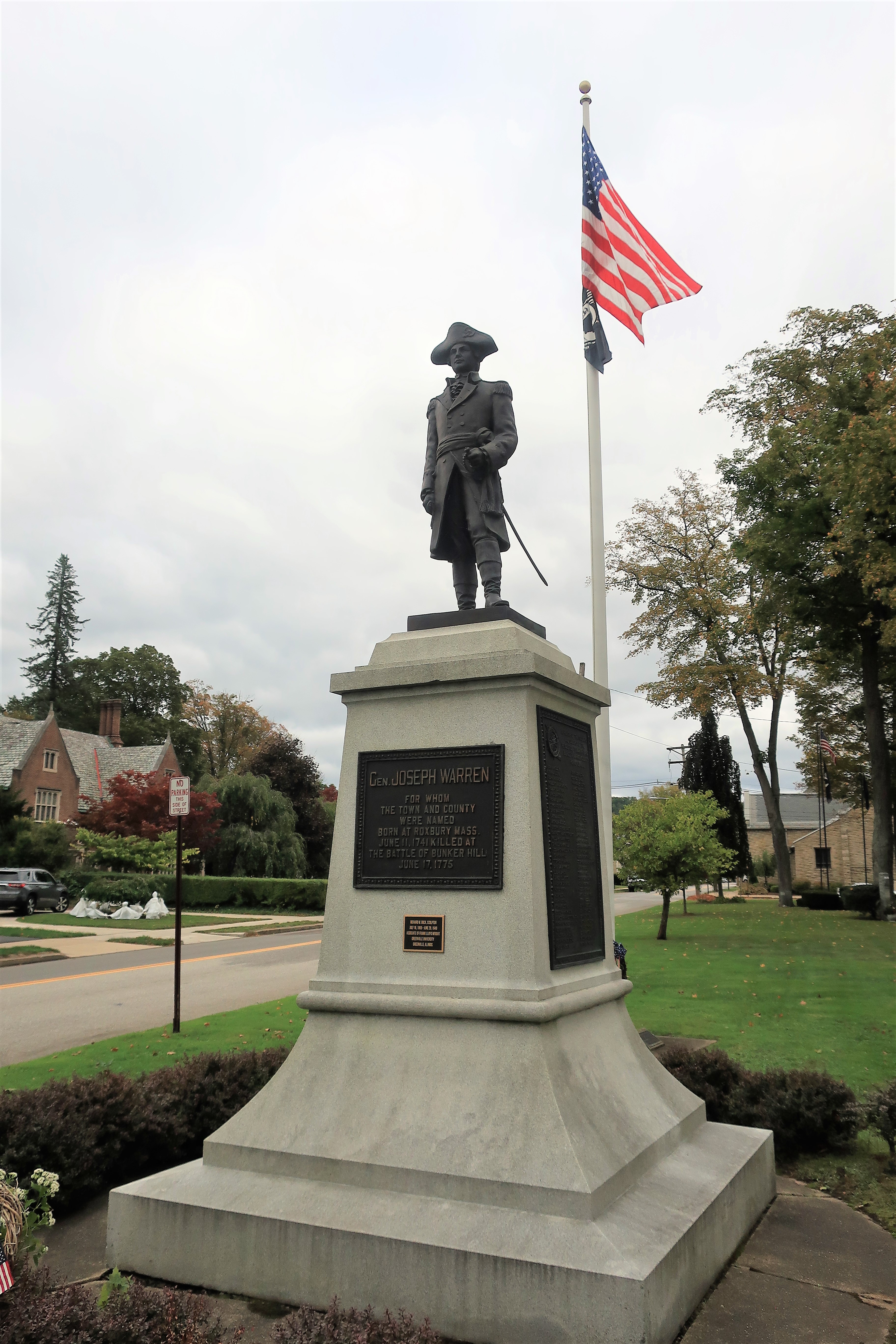
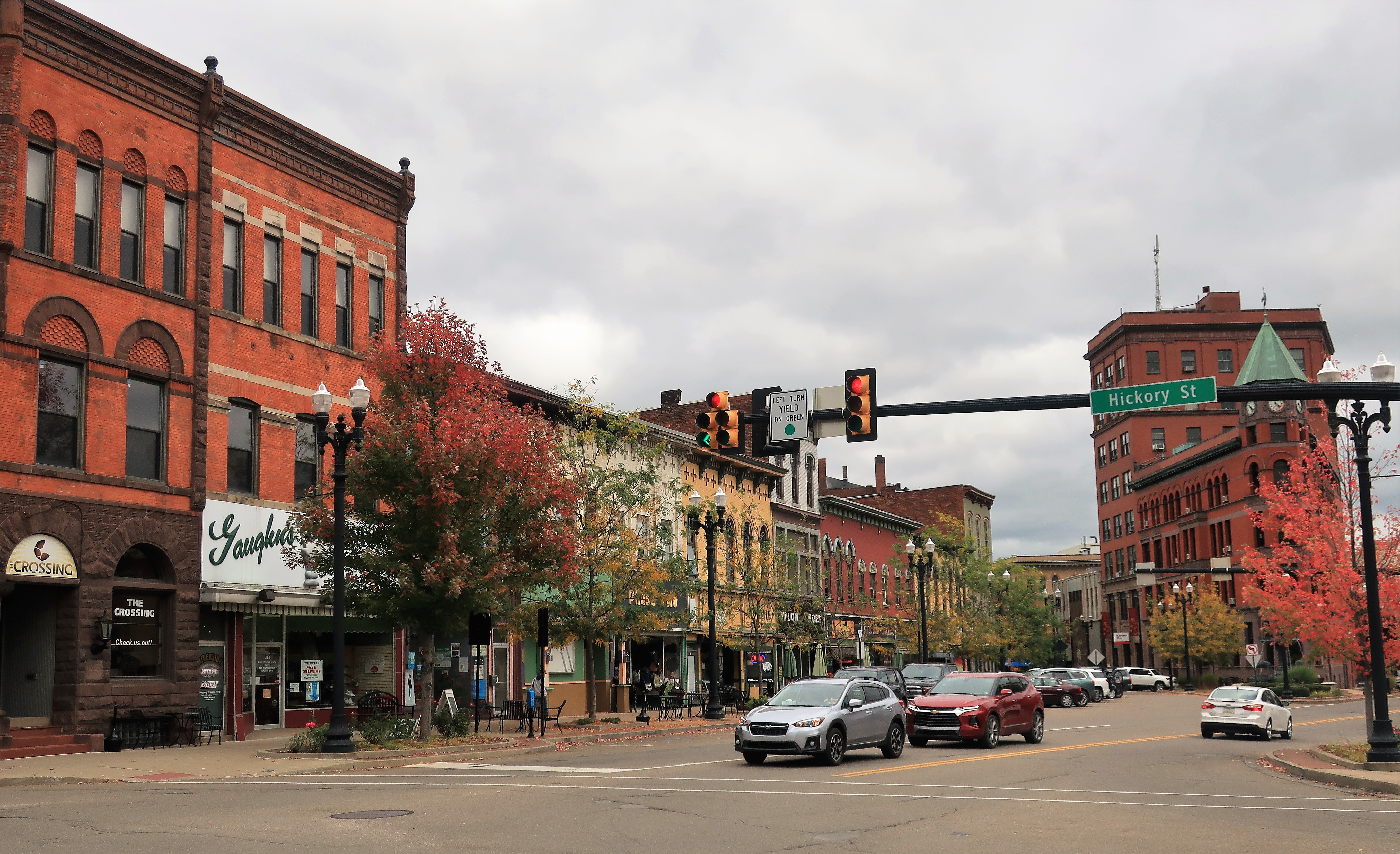
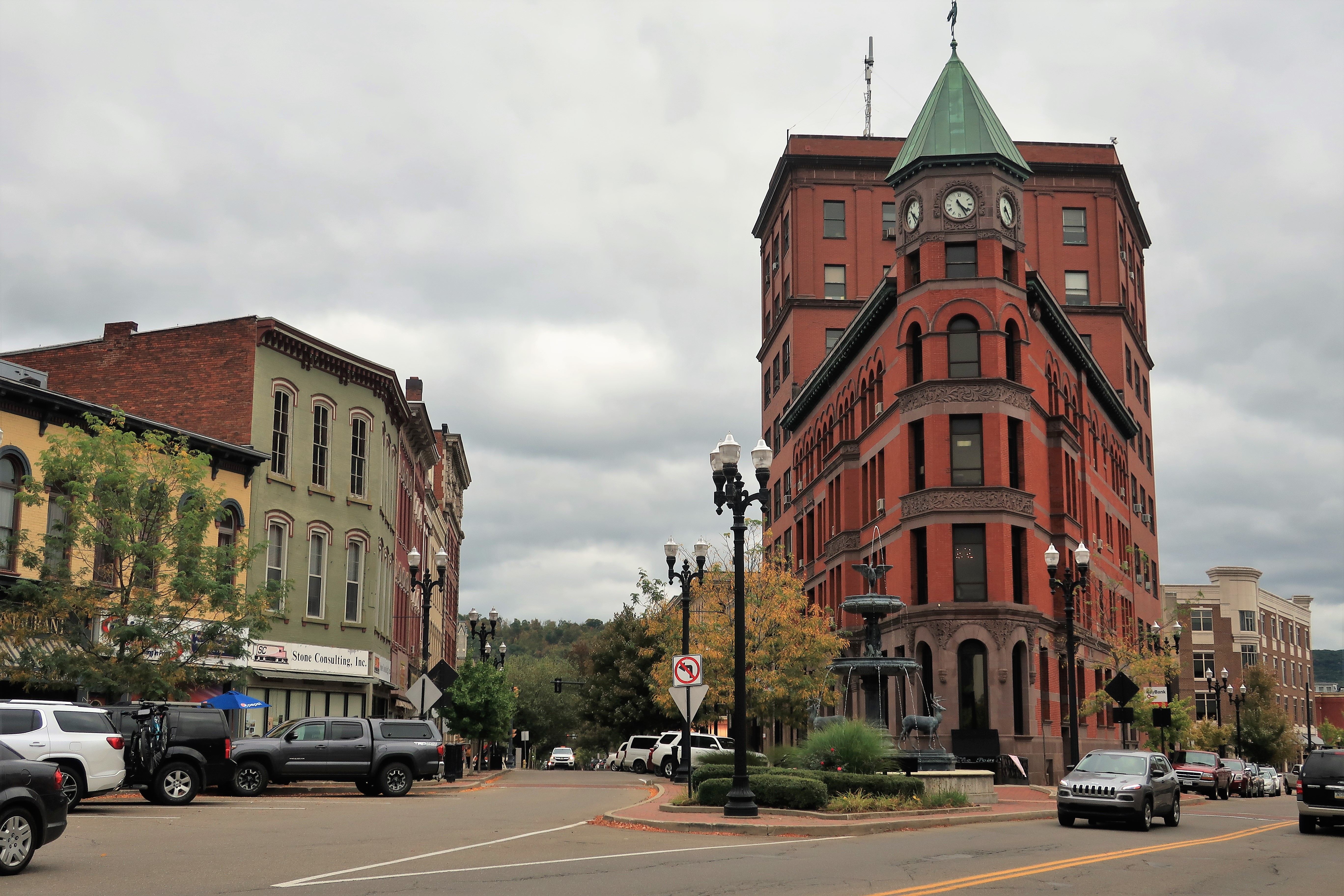
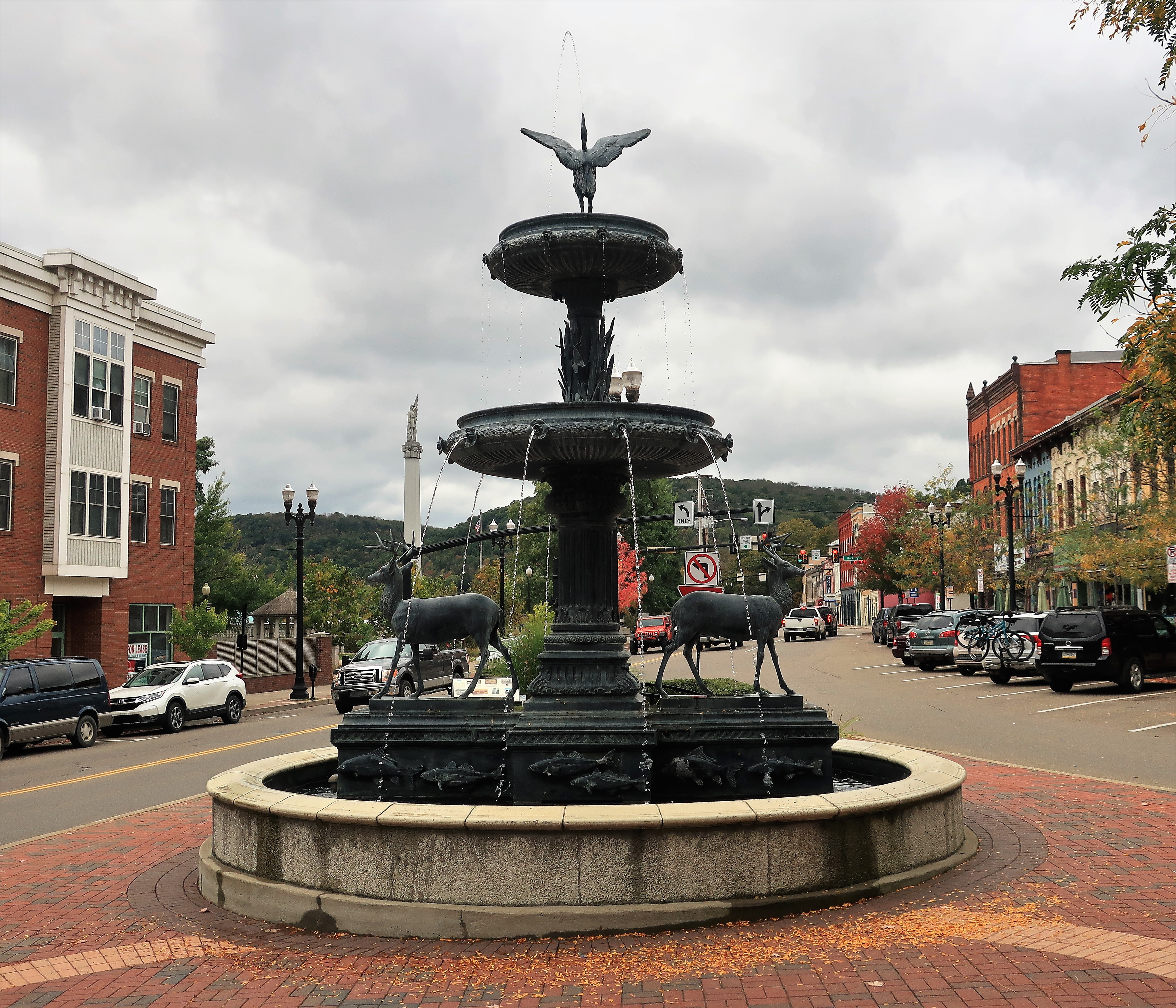
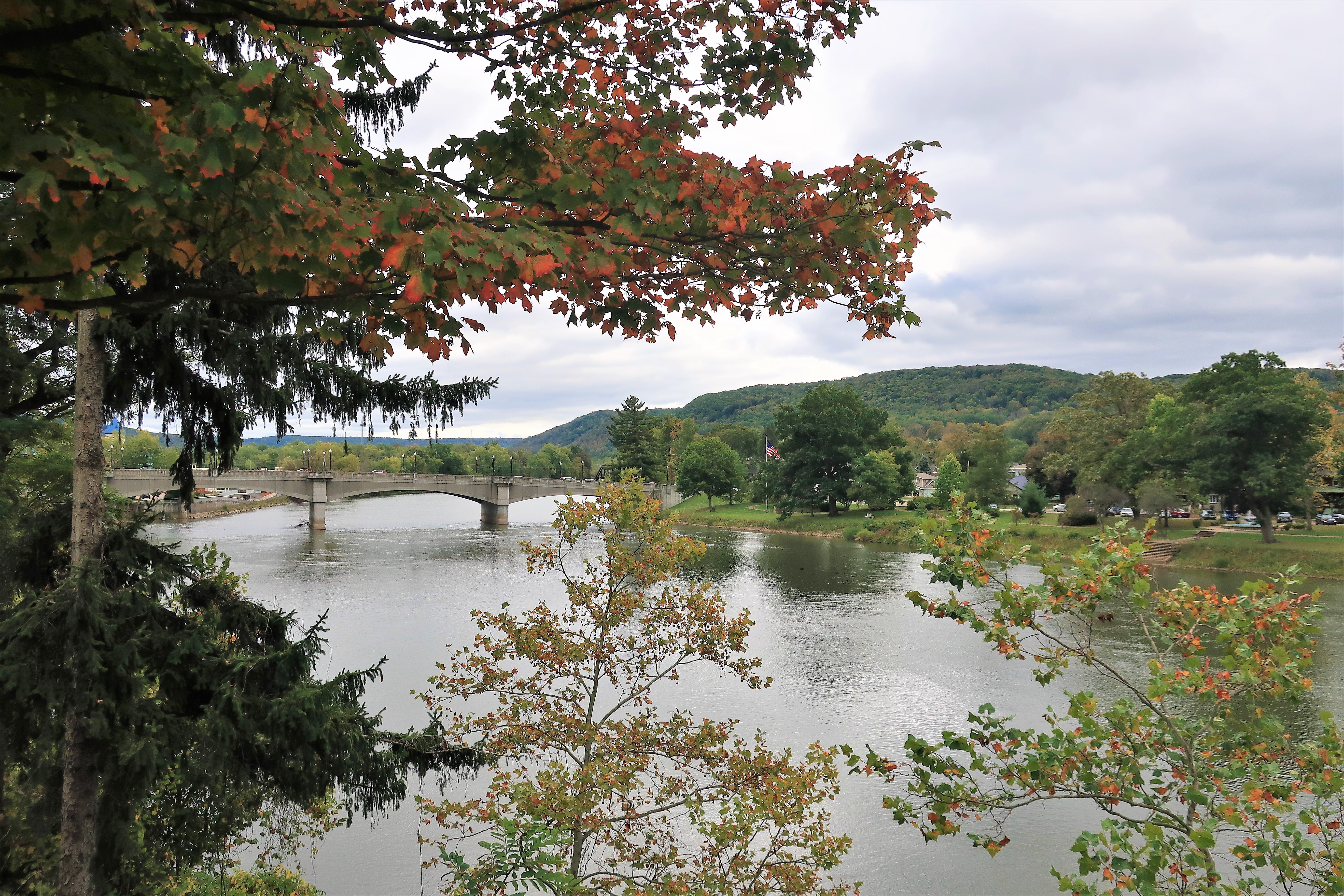
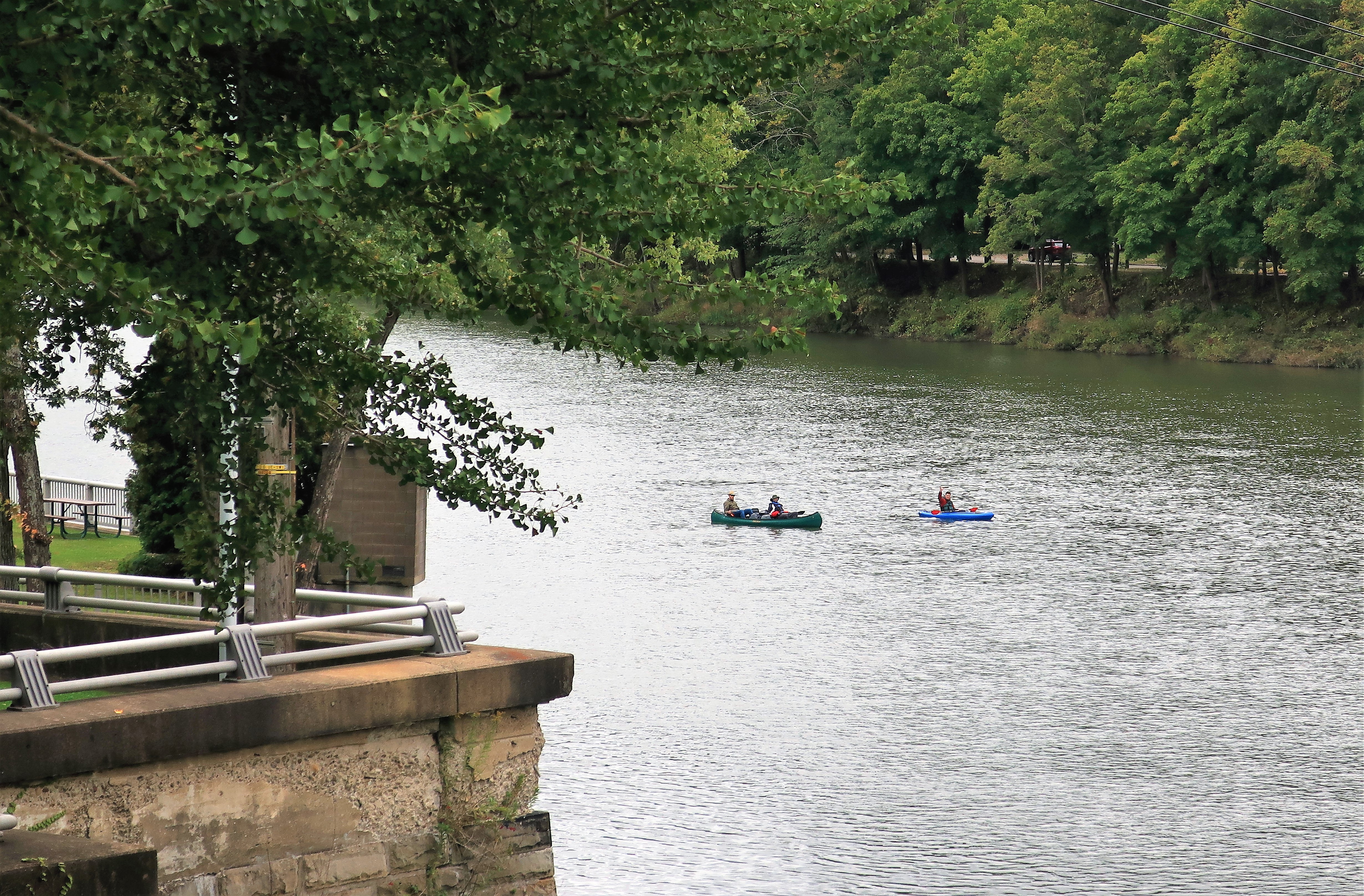
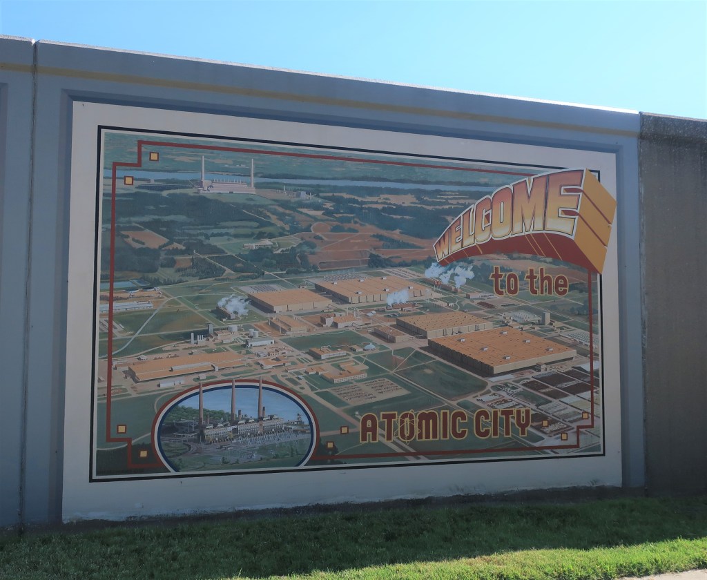
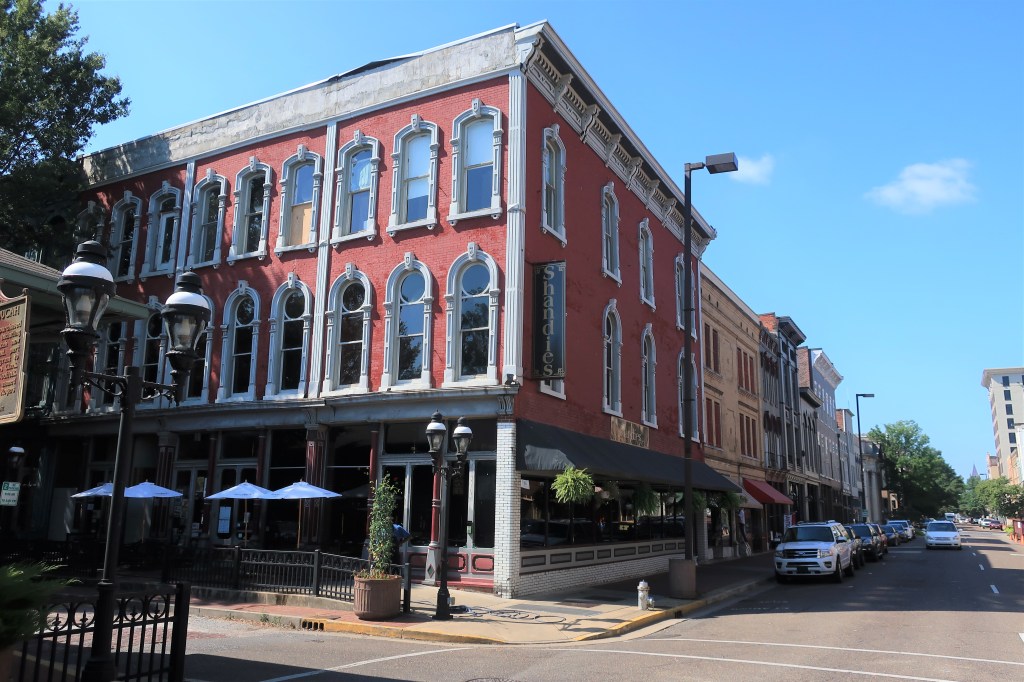
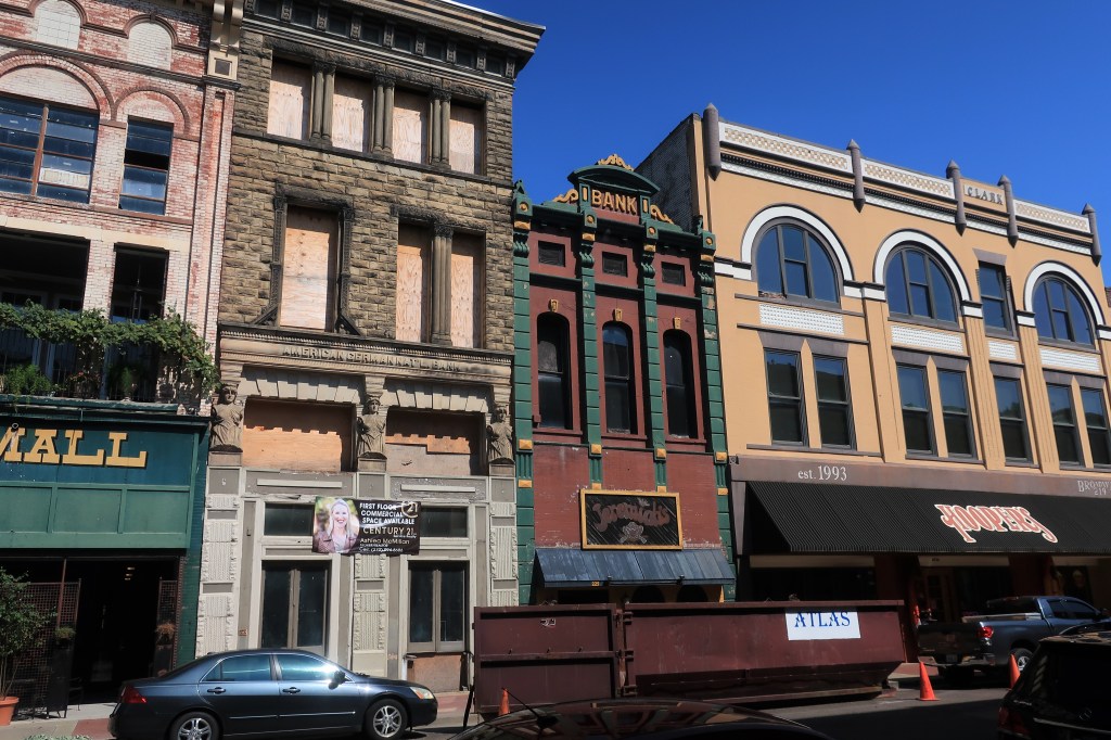
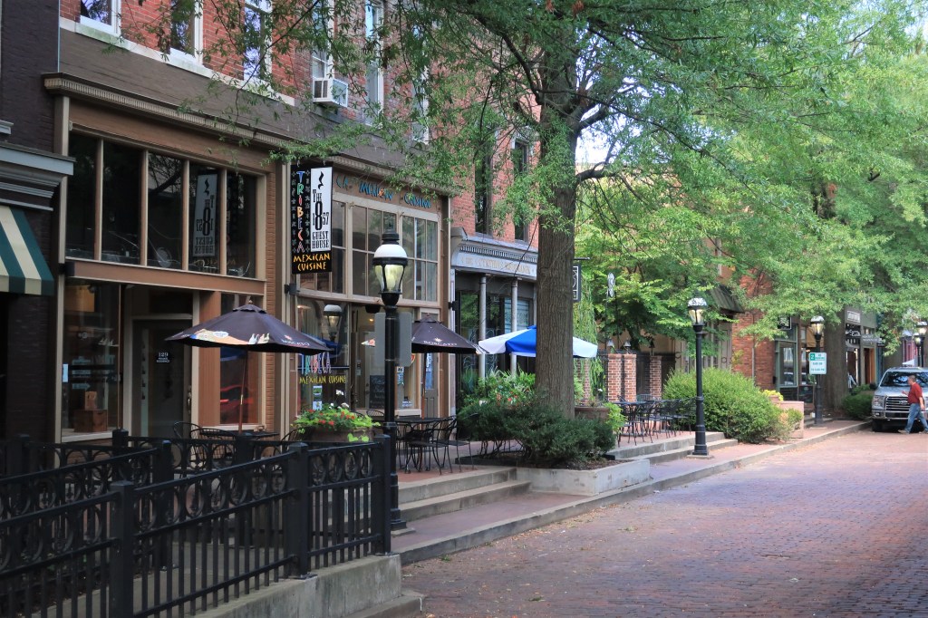
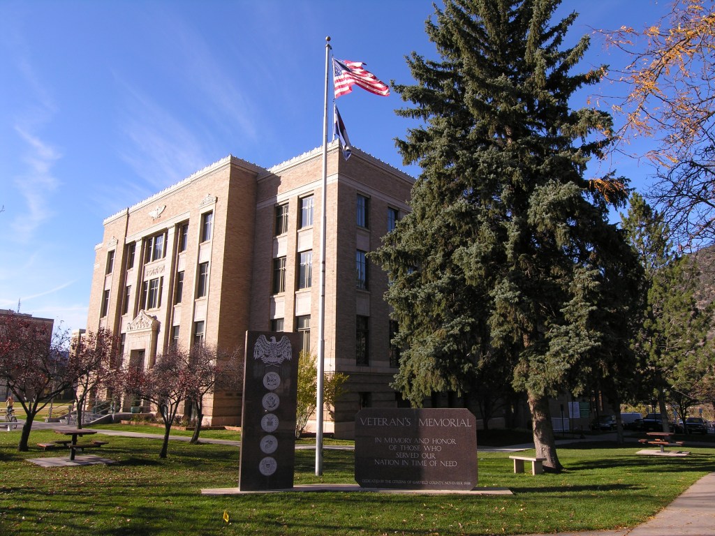
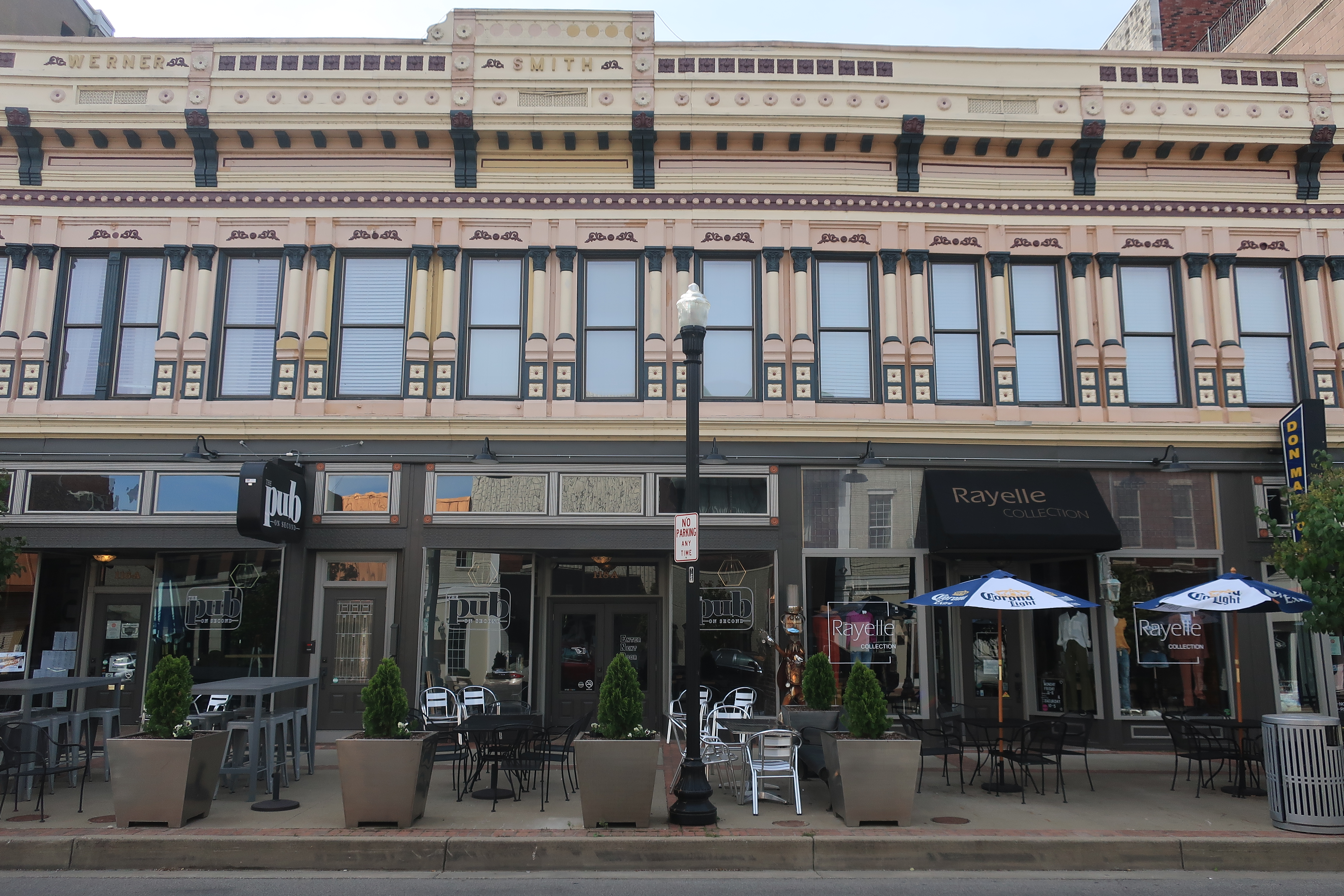
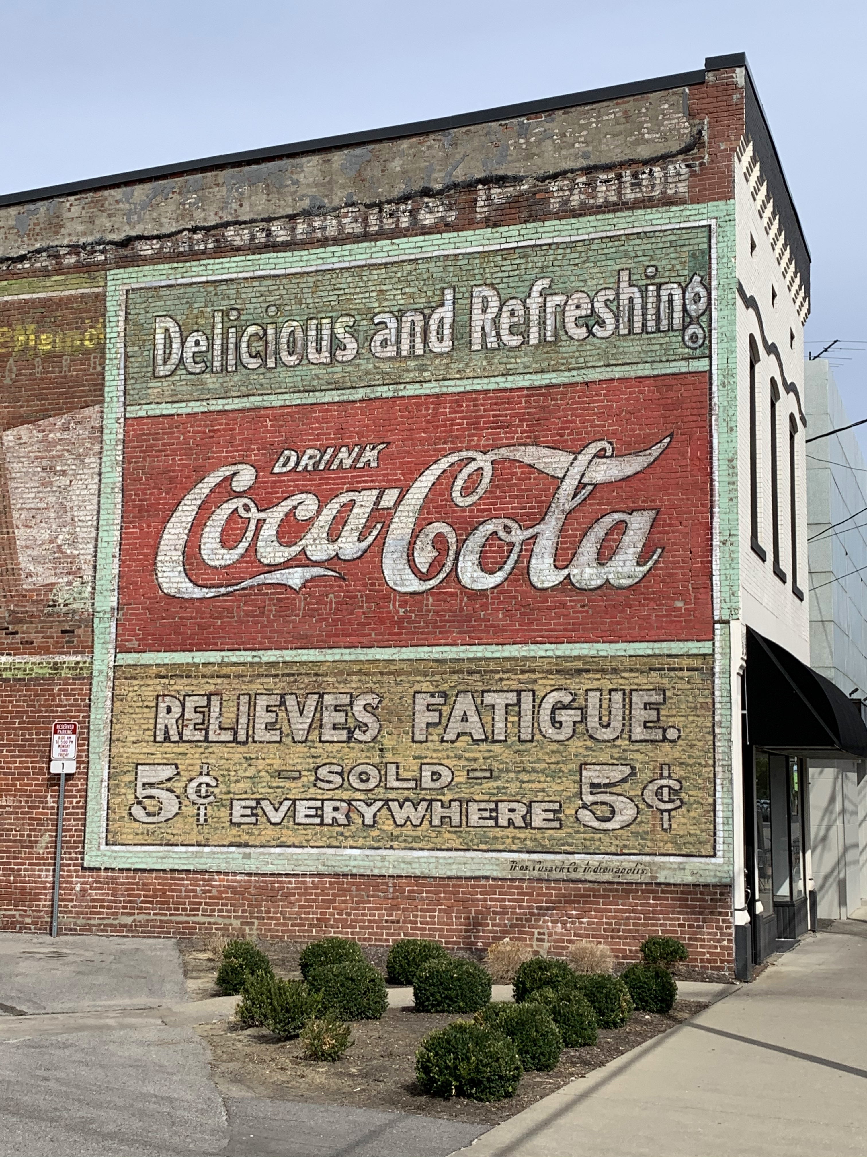
Owensboro is a sizeable river town with a population of over 55,000. It was settled in 1817 as “Yellow Banks”, and the downtown area boasts some fine 19th Century architecture.

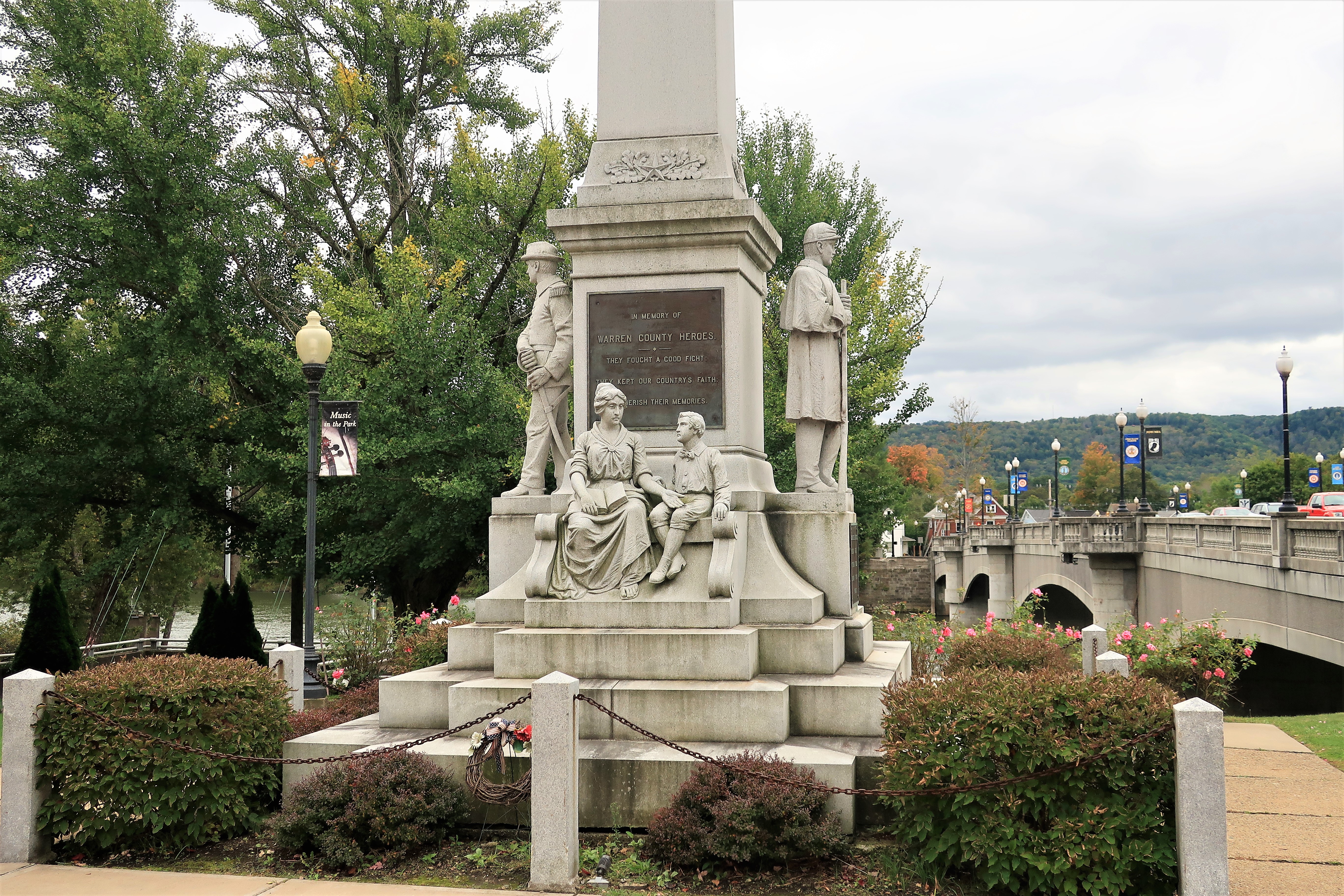
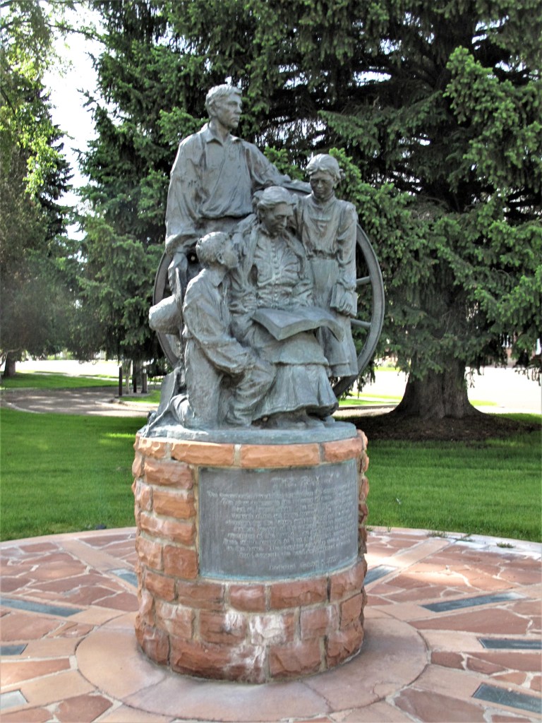
Look closely at the inscription on this monument and who it honors. Such monuments have come under fire in 2020.

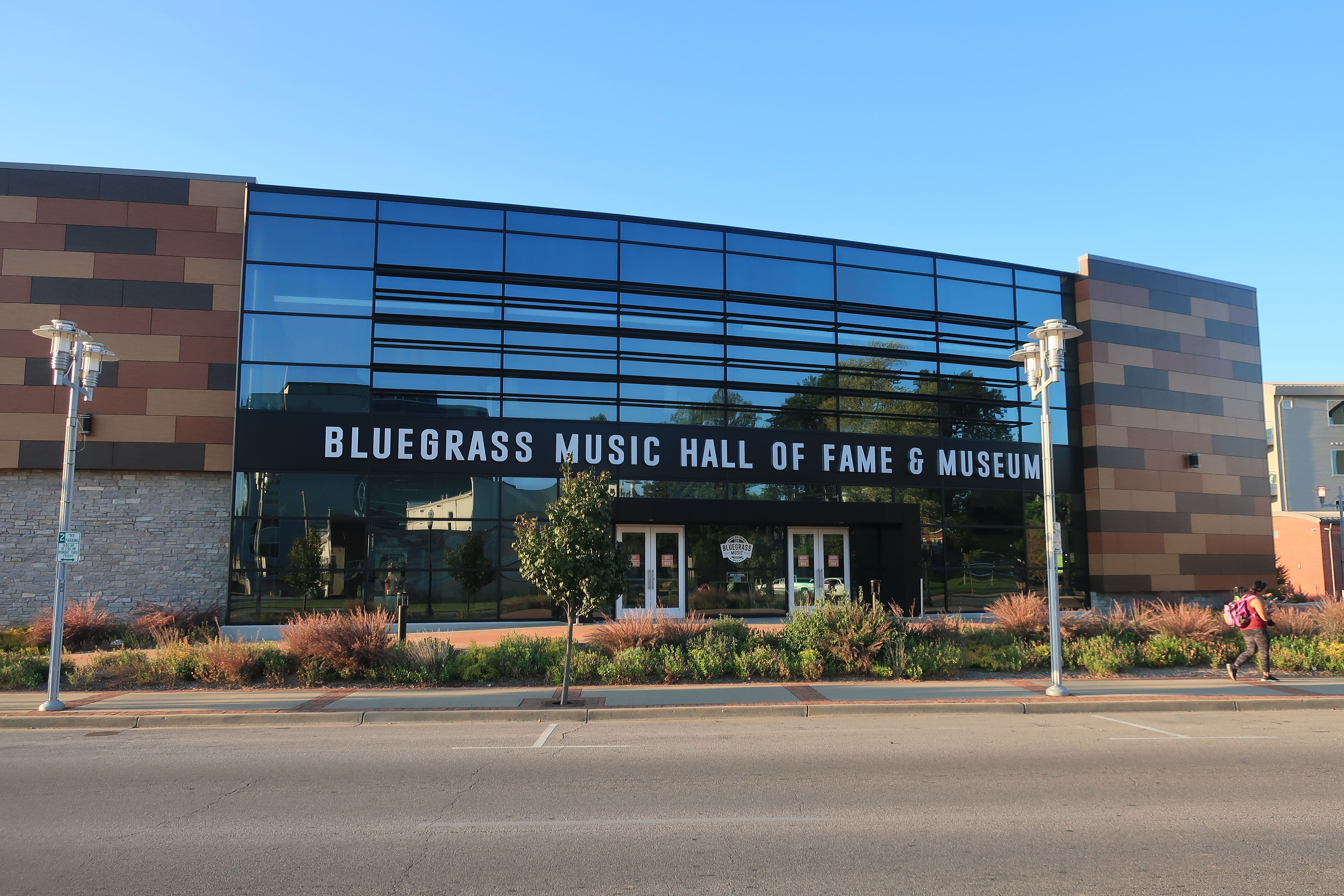
Modern Owensboro is known for its bourbon distilleries and for bluegrass music.
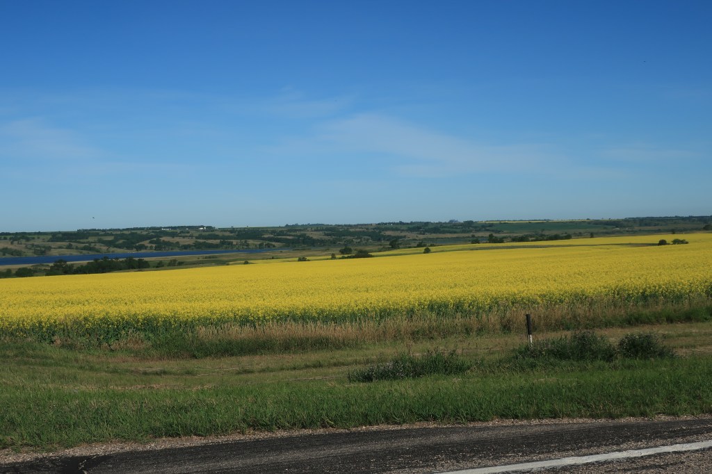
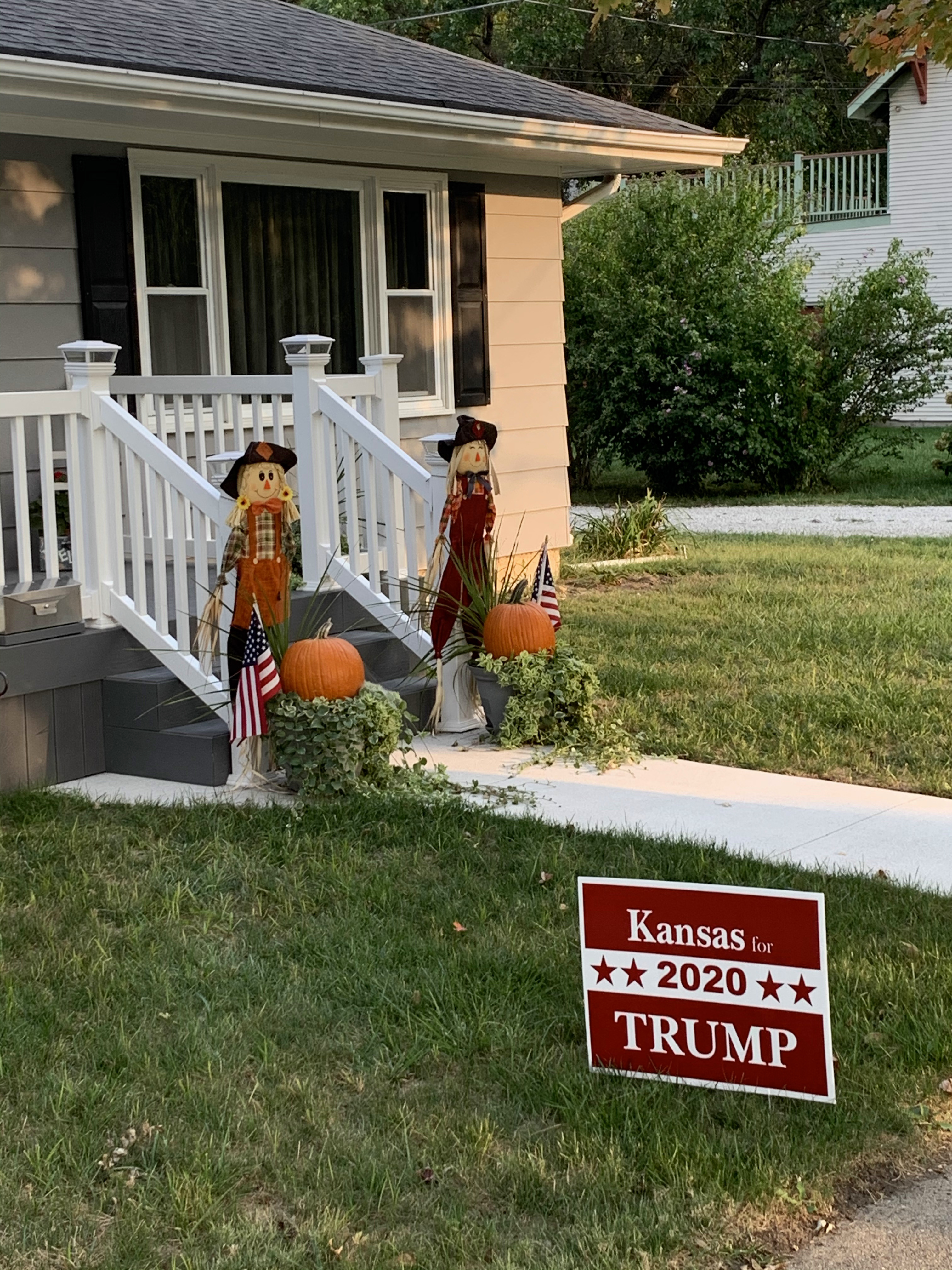
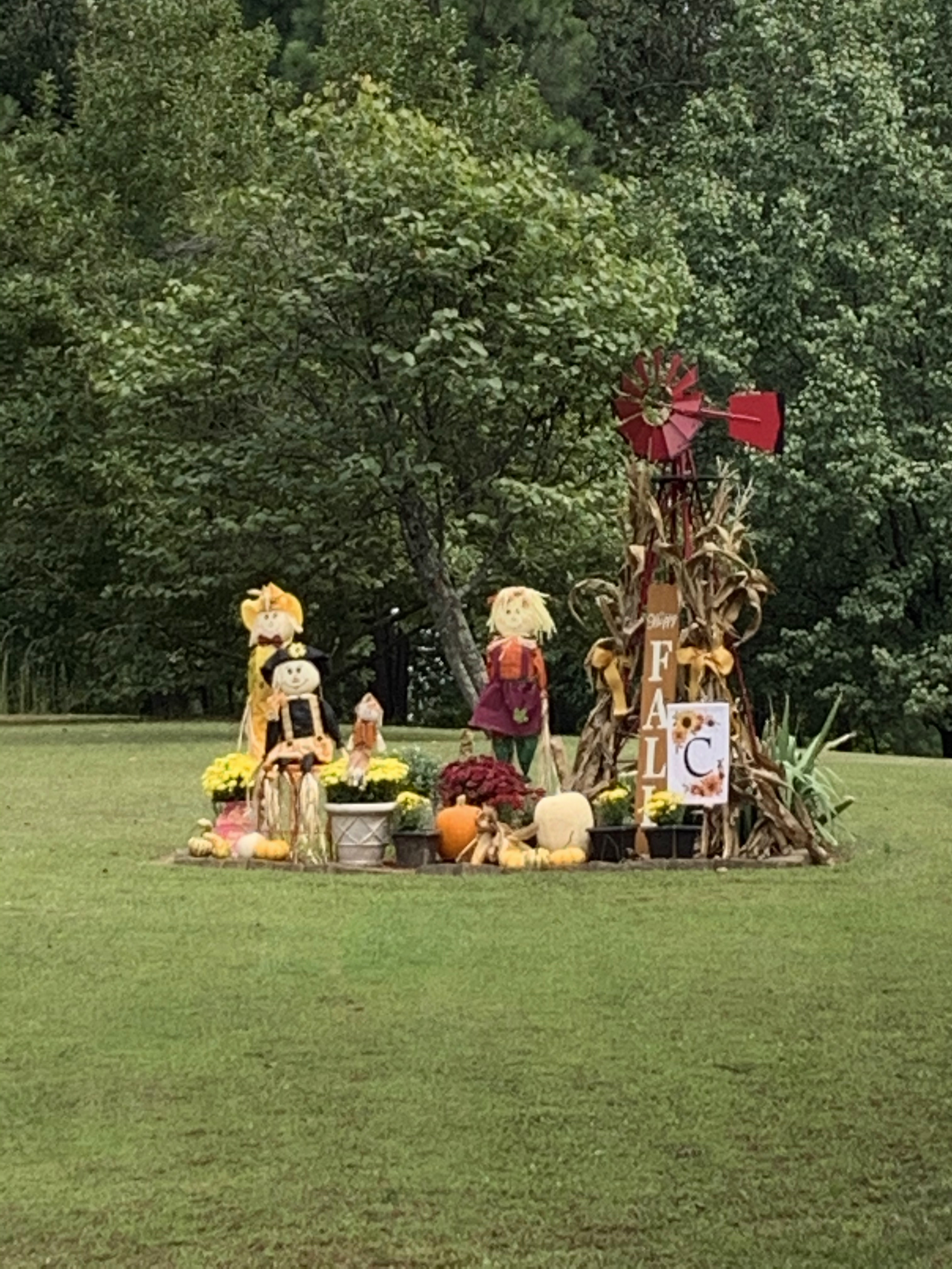
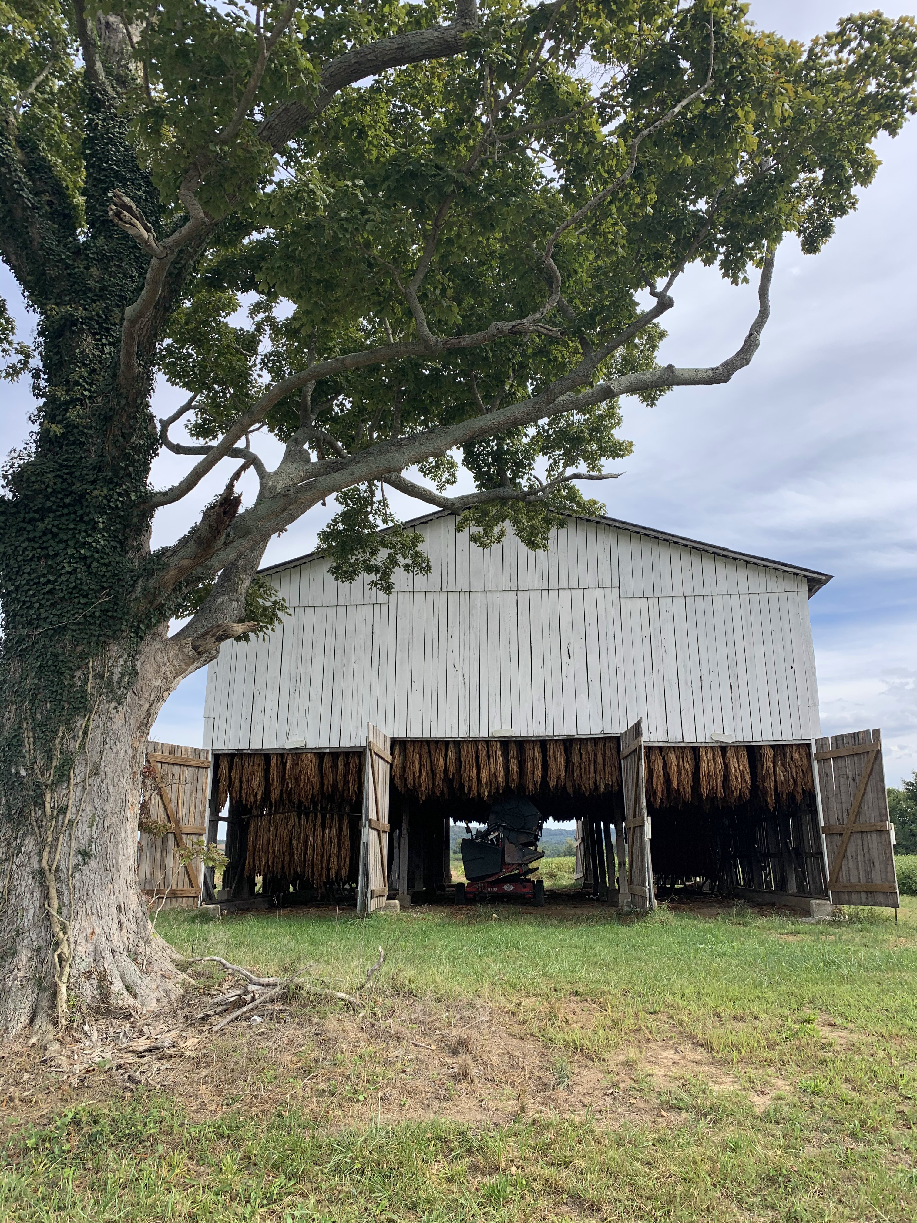
Heading out of town into the Kentucky countryside, I saw several celebrations of the Fall season:
…and just as many of these signs of the season:

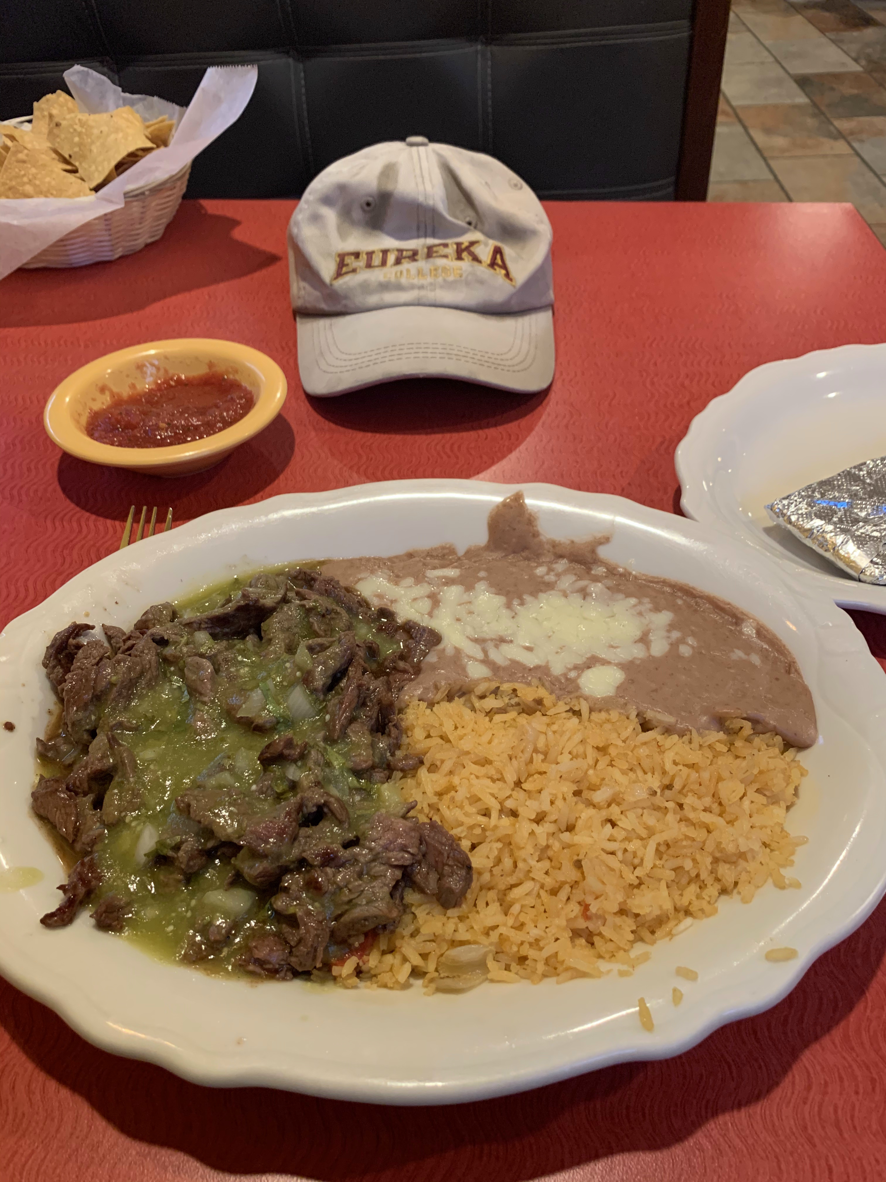
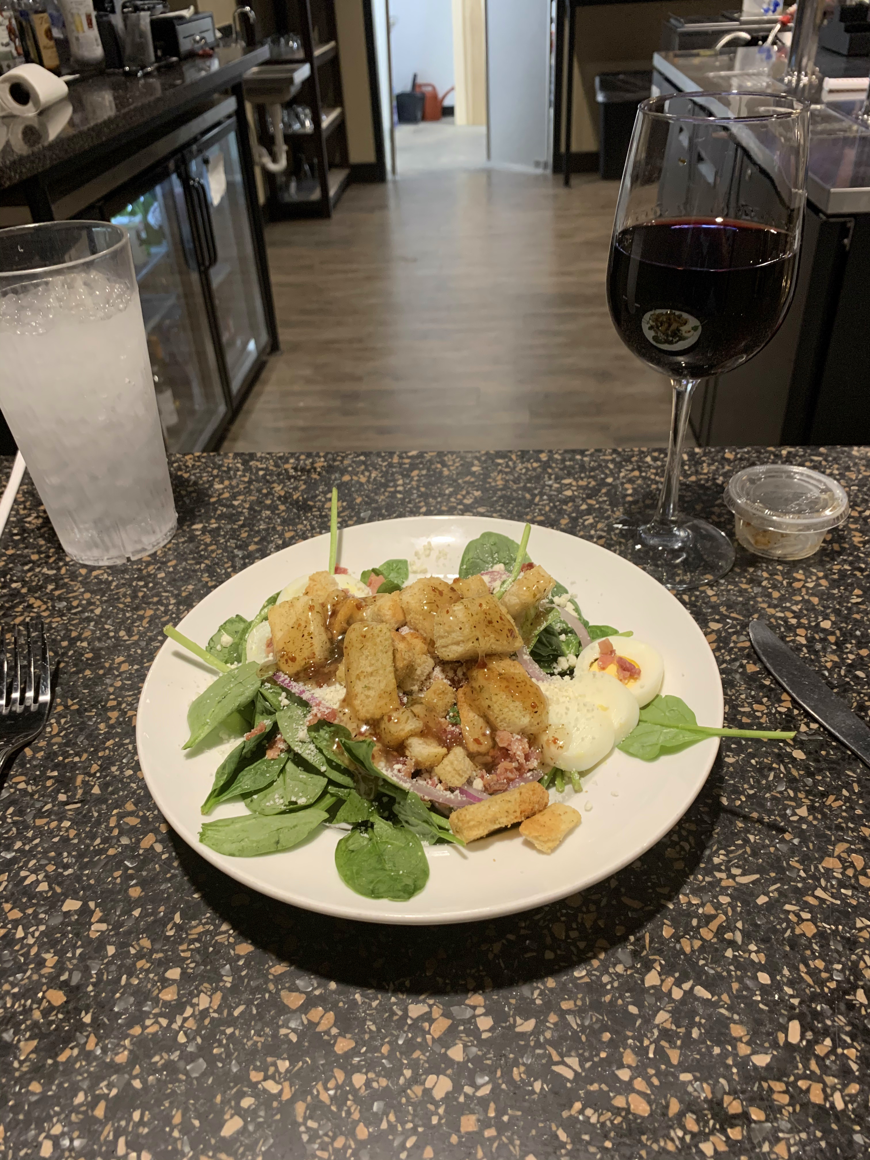
Lunchtime at The Brak Restaurant and Meeting House, Hardinsville, Kentucky. This is a small diner in a small, remote town. The Brak has no web presence, but the food is good and so is the company.
Further on down the road:
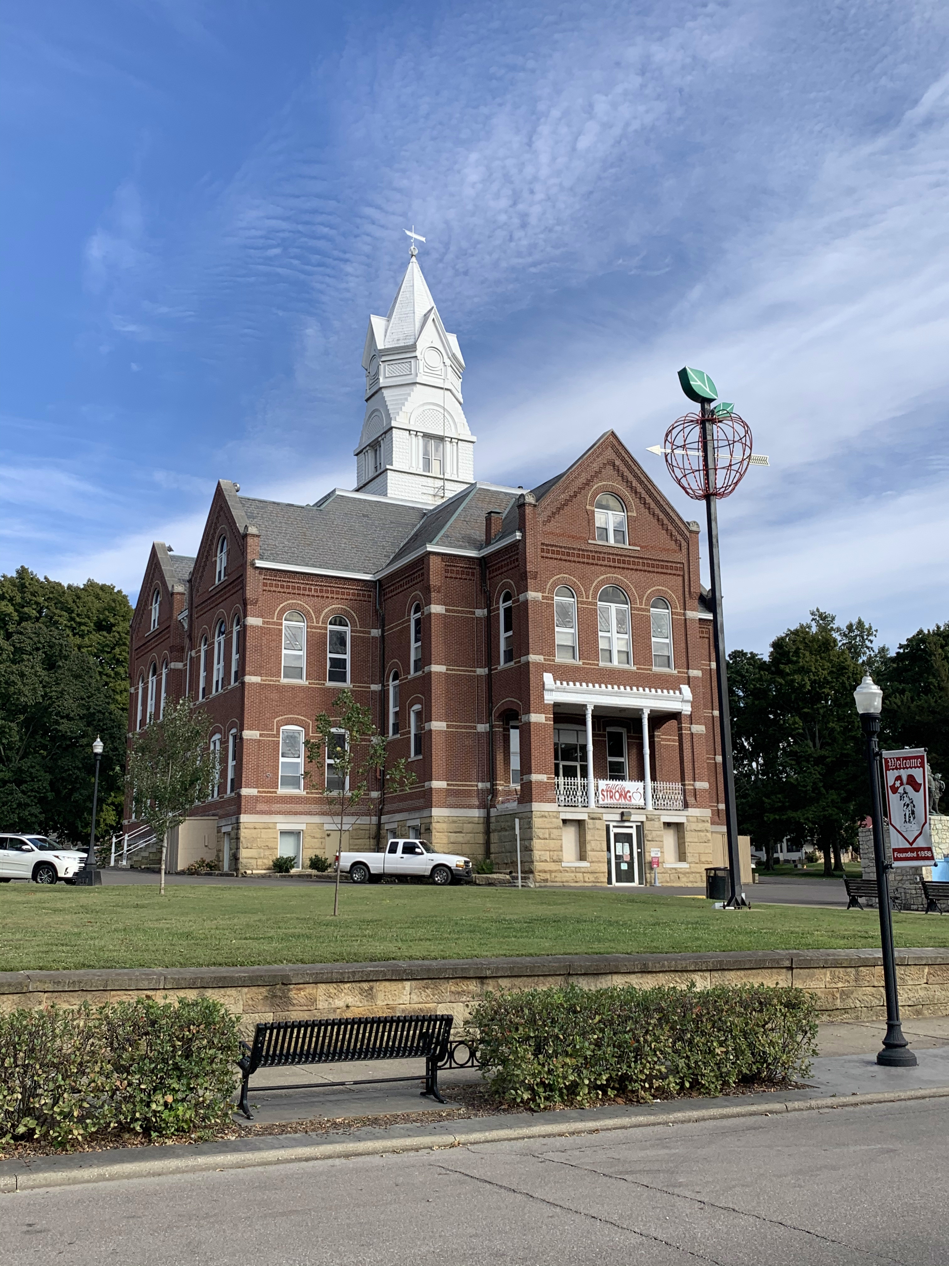
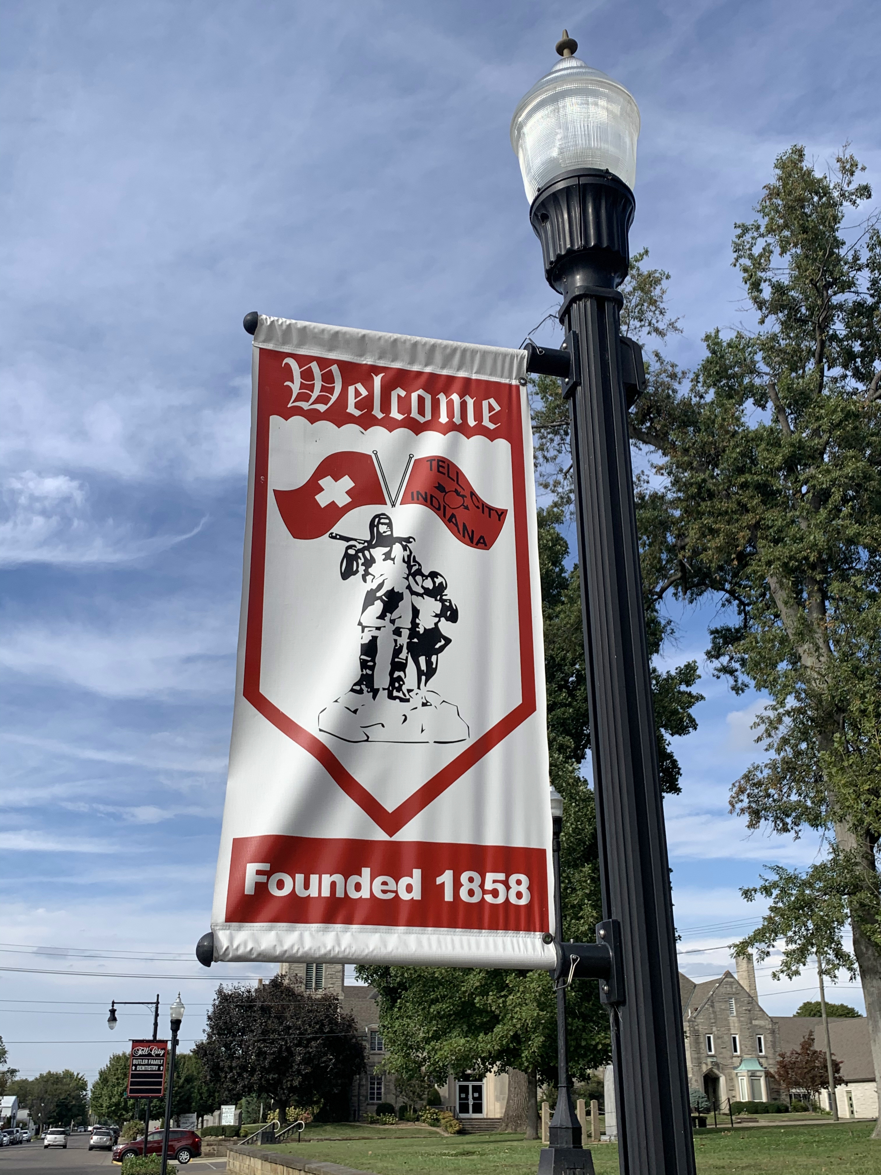
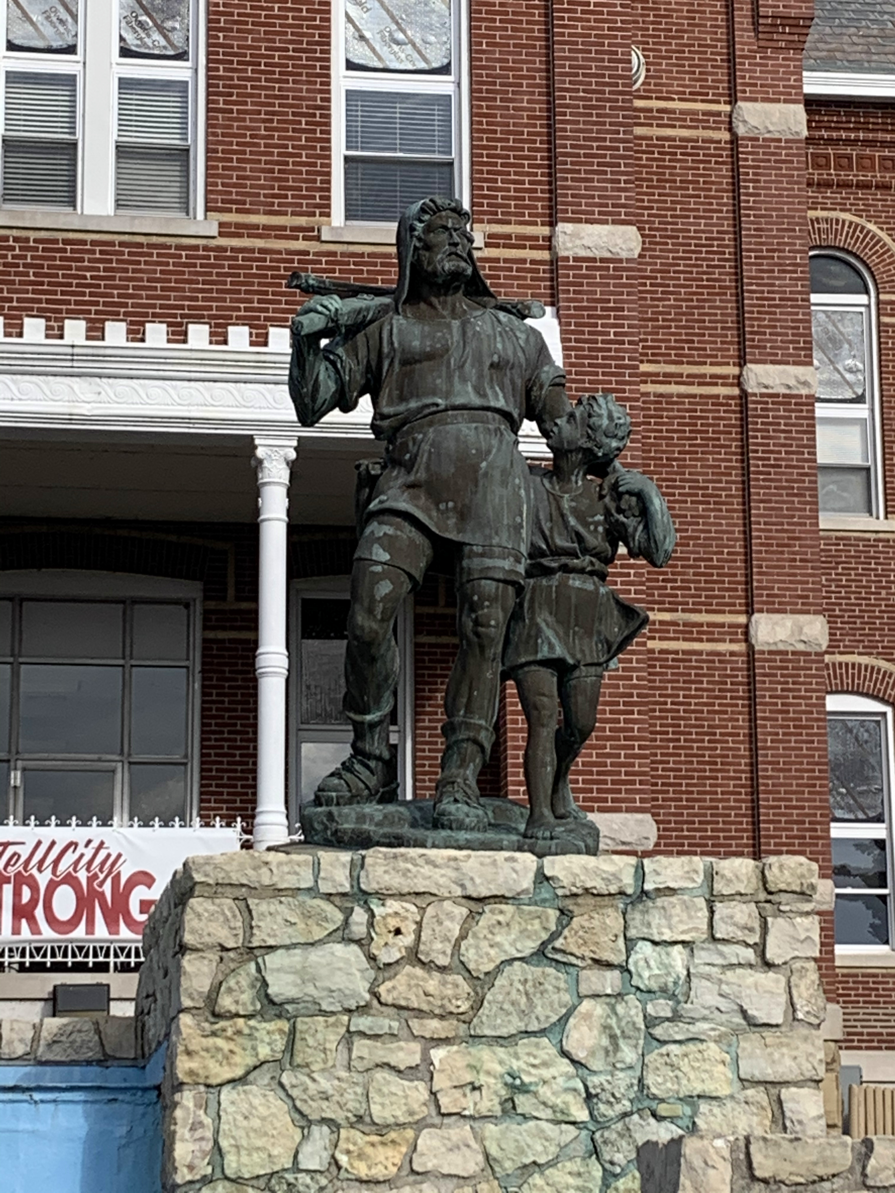
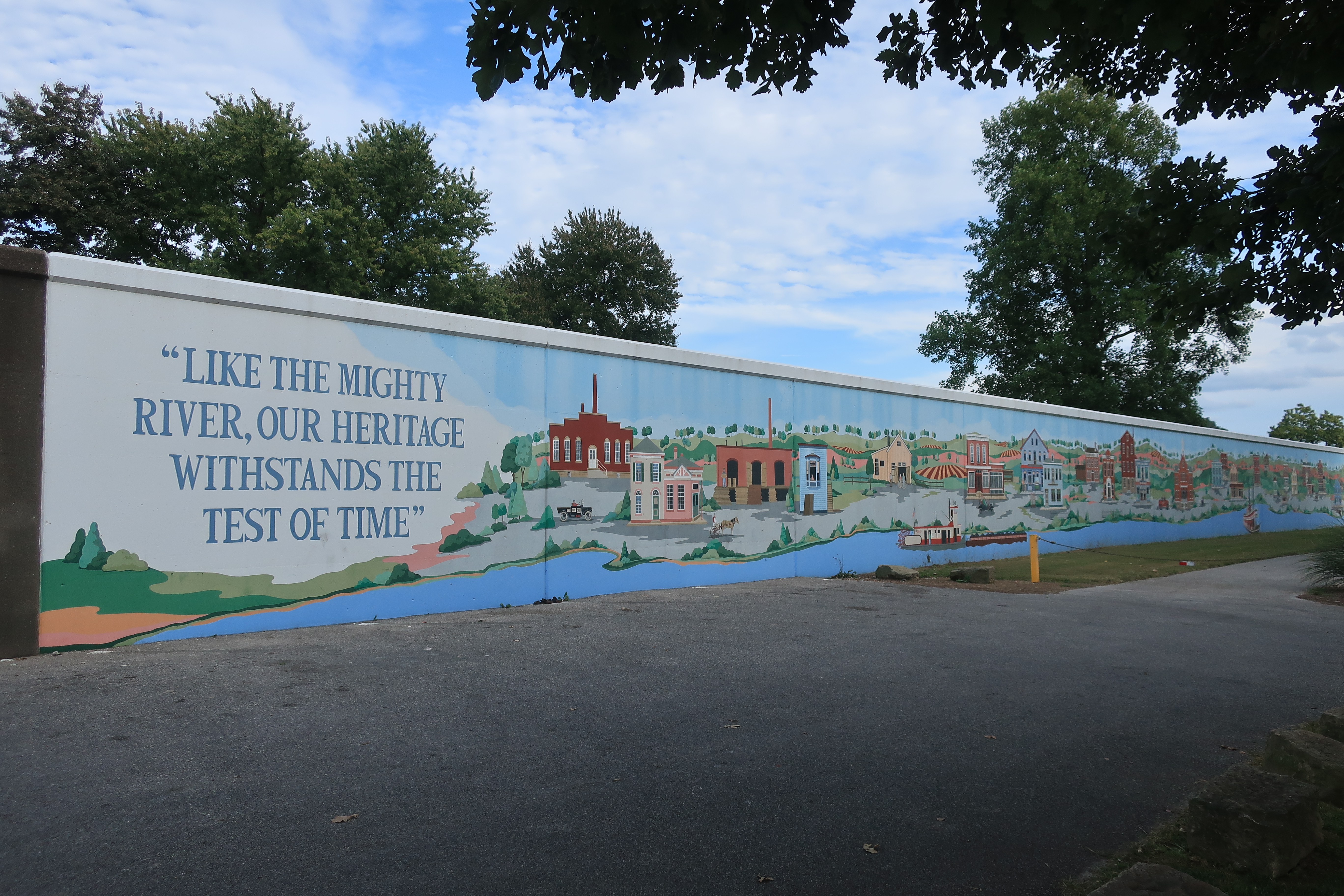
I next crossed the Ohio River into Indiana and drove downriver a ways to the town of Tell City. Tell City, Indiana was settled in 1857 by a group of German-speaking Swiss immigrants looking for a new life in the new world. As a side note, all the settlers of Tell City were German-Swiss; a settlement of French-speaking Swiss in Vevay, Indiana, 100 miles upriver from Tell City, was founded in 1813.
Tell City was of course named for legendary Swiss liberator William Tell. City Hall boasts a sculpture of an apple near its front entrance. The apple lights up red at night.


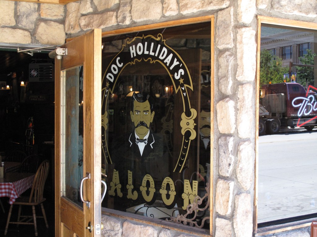
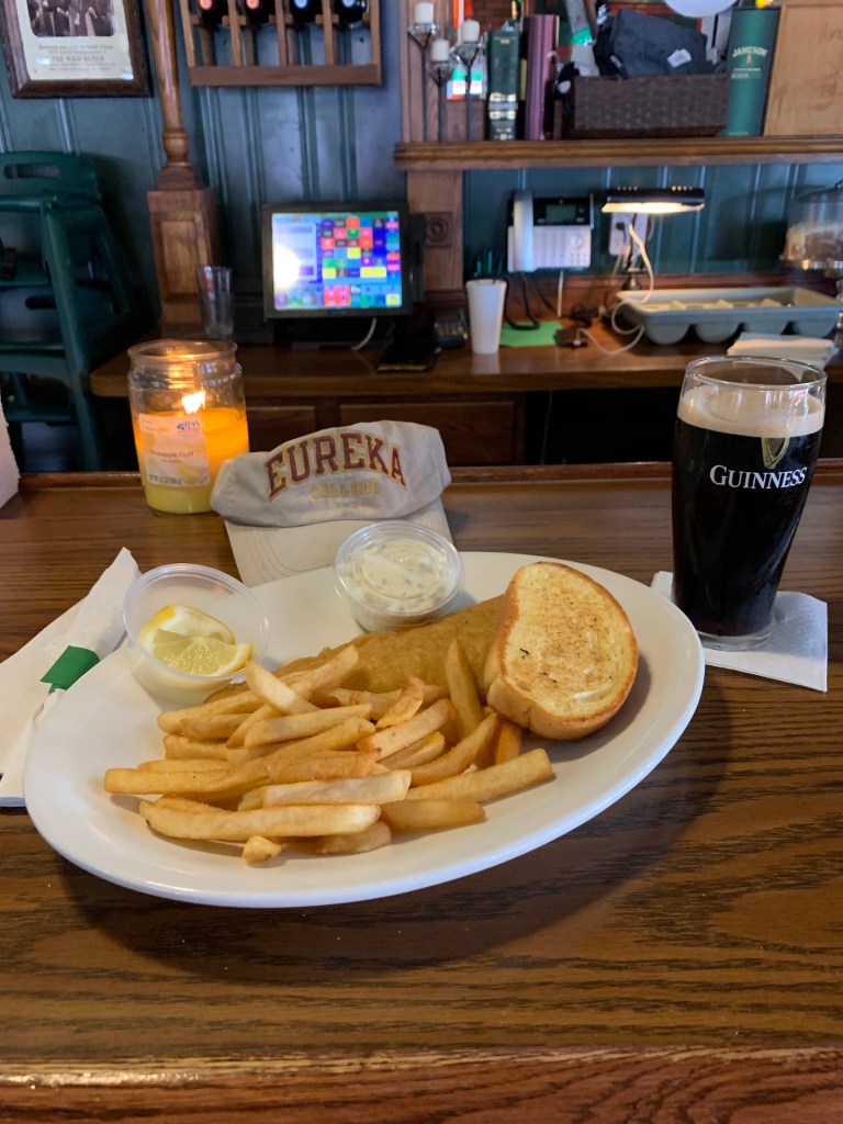
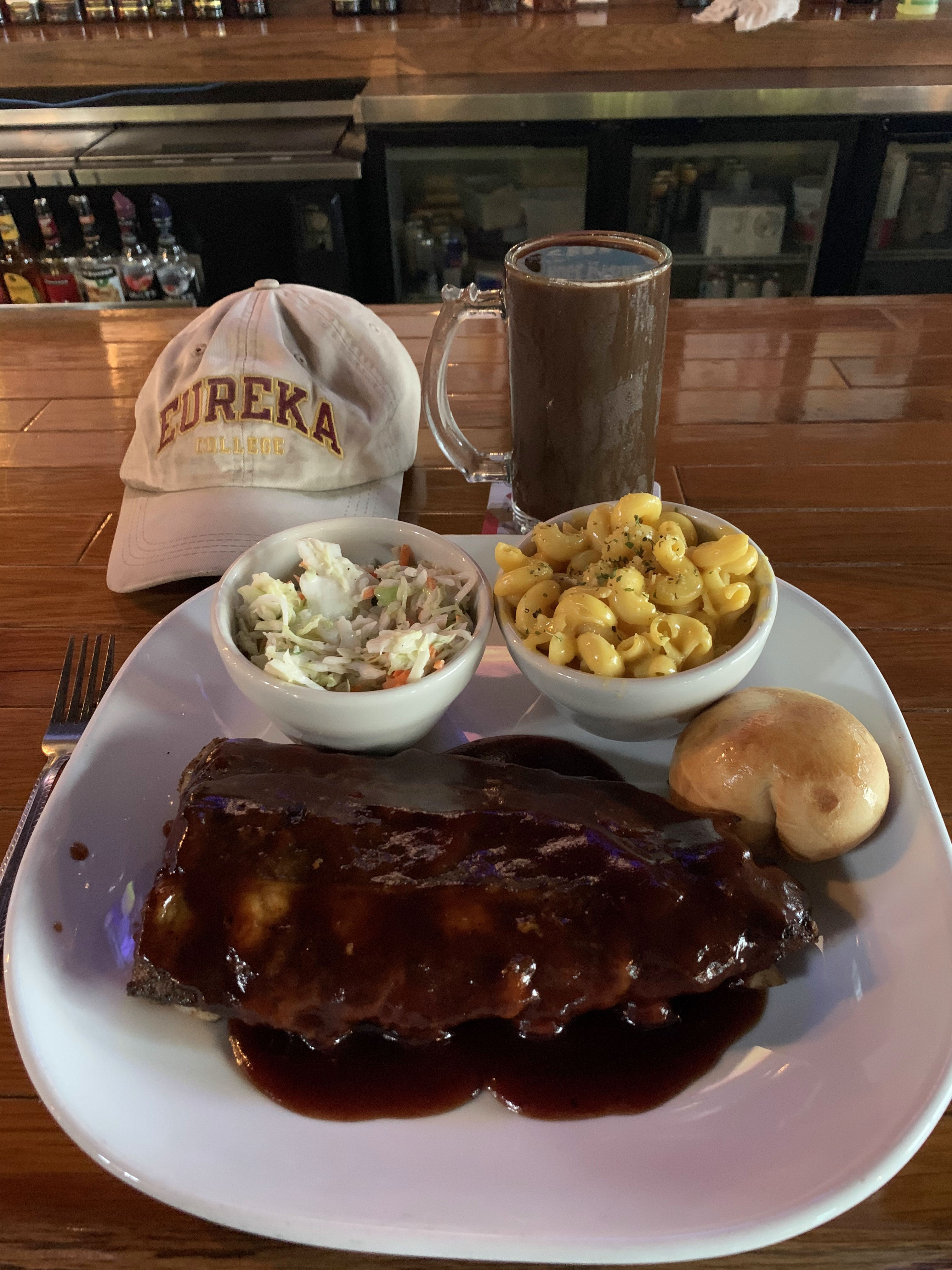
I was looking for a biergarten for dinner at Tell City, but the best I could do was a brewpub/sports bar called the Tell City Pour Haus.
Links:
Dee’s Diner in Owensboro
Bluegrass Hall of Fame & Museum in Owensboro
Tell City Pour Haus in Tell City
Holiday Inn Express in Tell City
Wednesday, September 23, 2020. Day 6: Tell City to Vincennes, Indiana
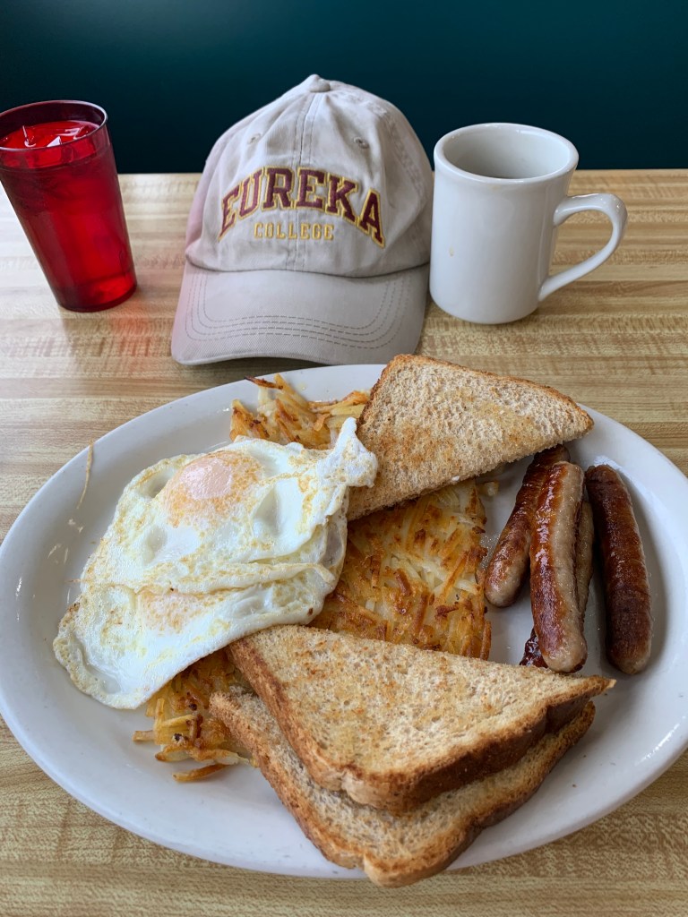
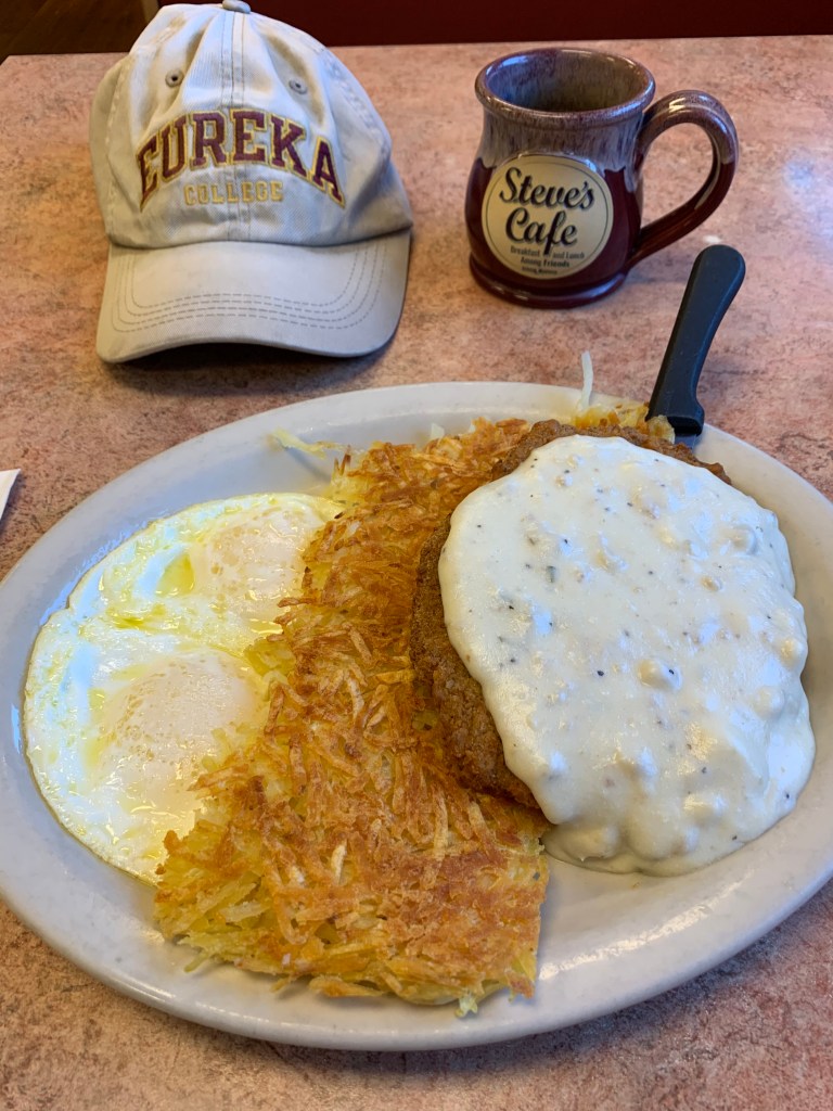
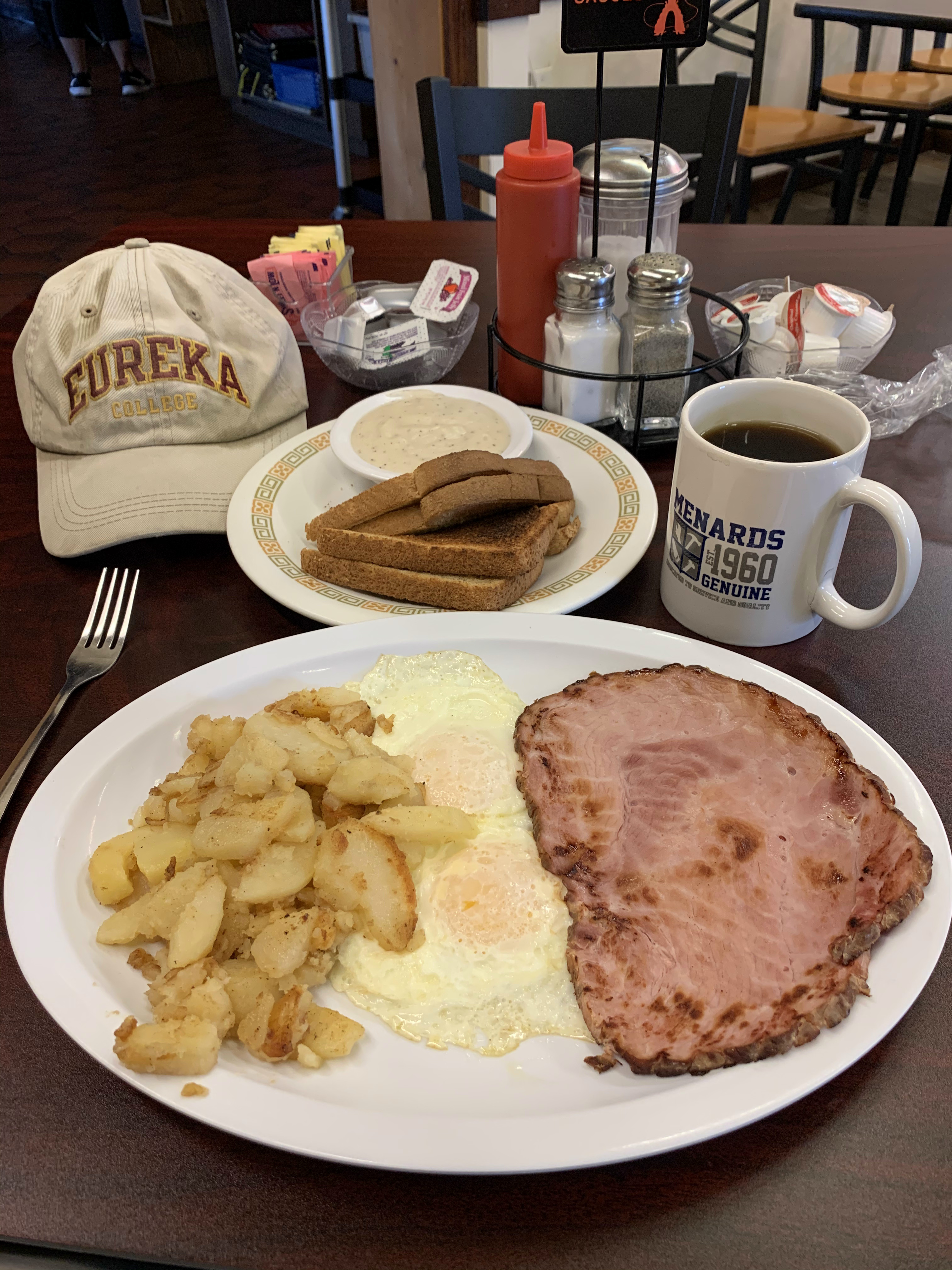
For all the money people spend on “fine dining,” there’s actually nothing better than a great breakfast!
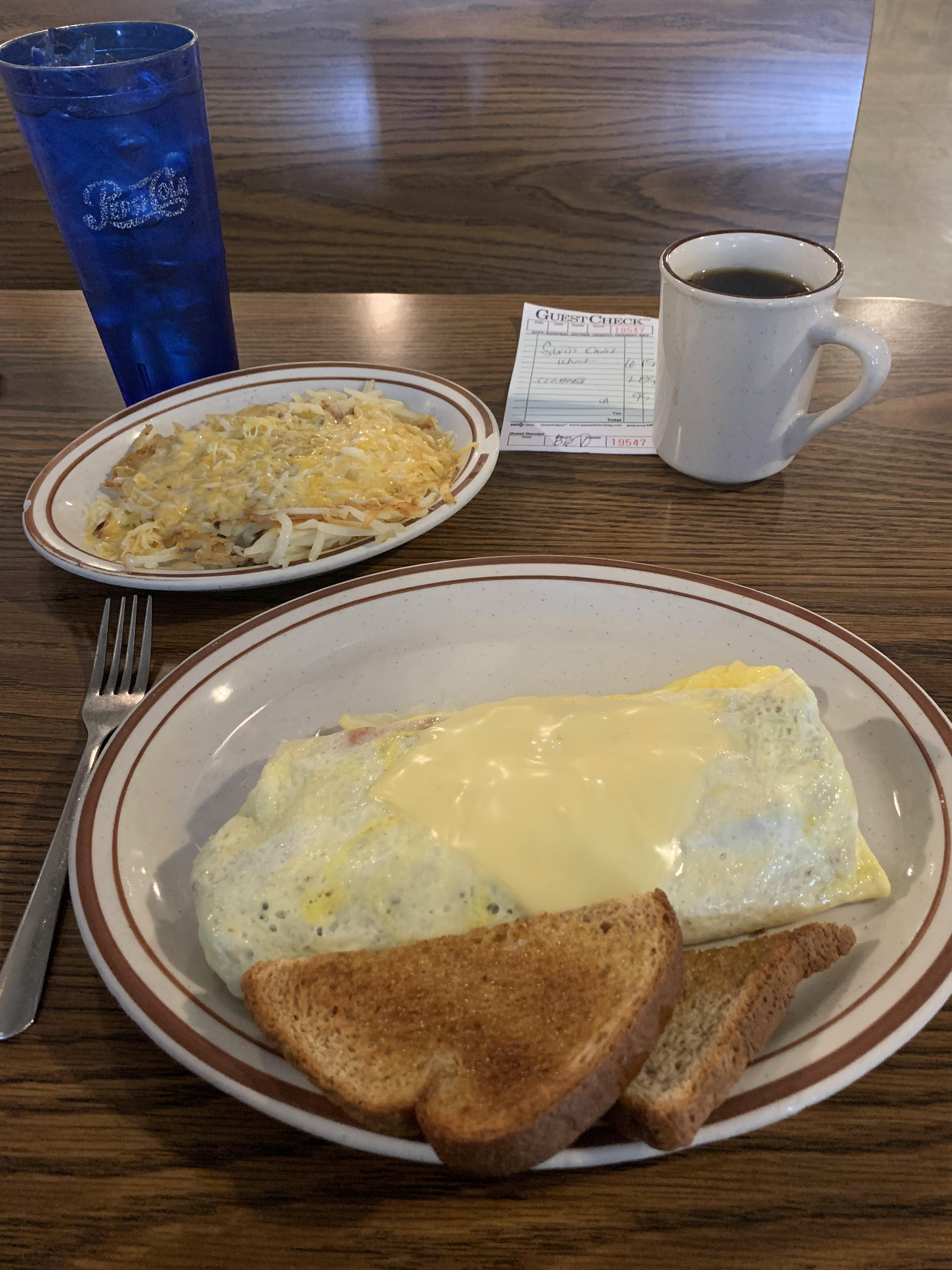
That’s a 3-egg omelet with bacon, sausage, ham, onion, peppers, tomatoes, and swiss cheese with a plate of cheesy hash browns on the side. No one needs to consult a Michelin guidebook to eat well.
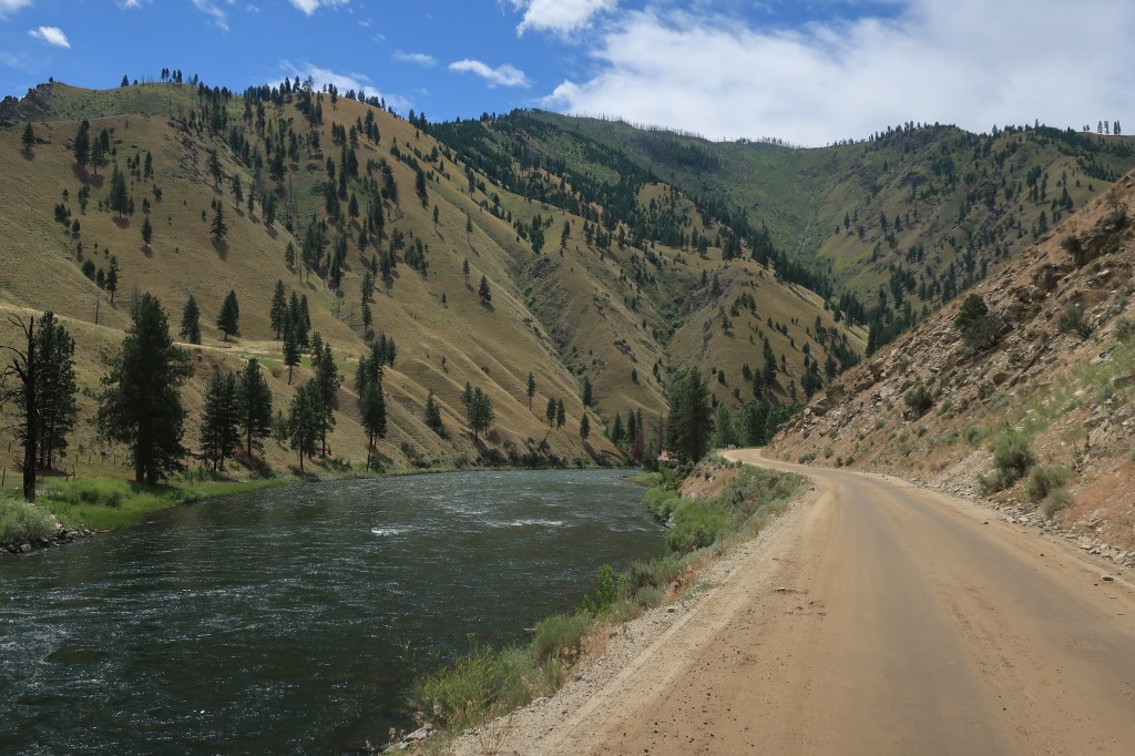
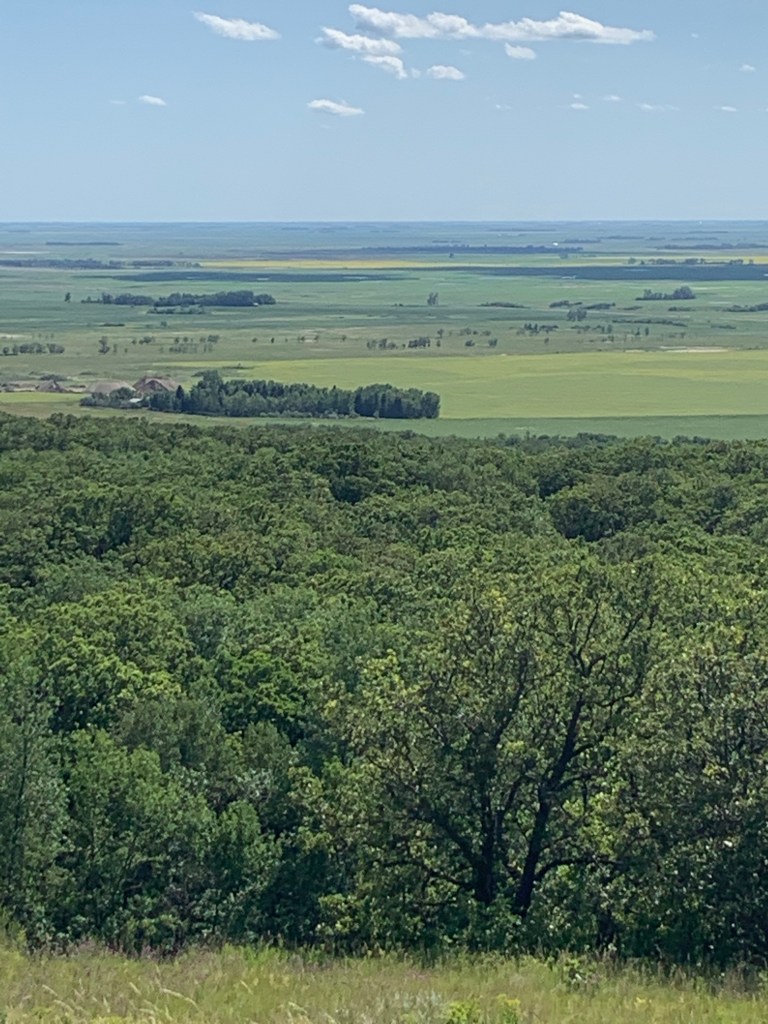
The weatherman said that today would be dry but overcast, the only overcast day of my trip. My plan is to drive upstream along the Ohio River on the Indiana side for an hour or so, then turn north toward the towns of English and Paoli.
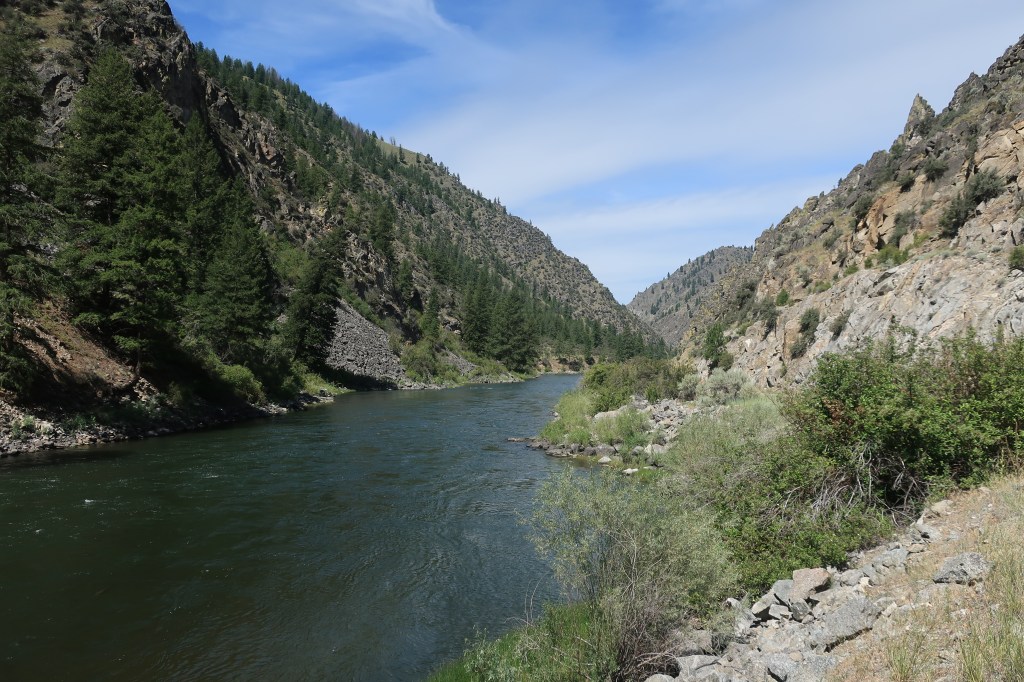
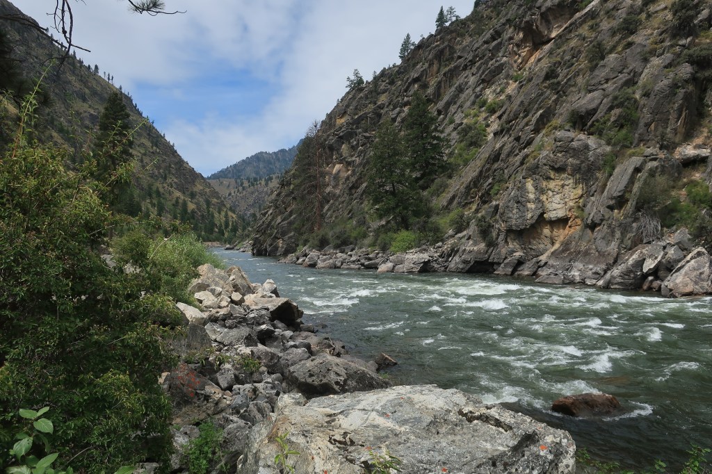
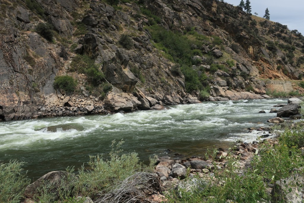
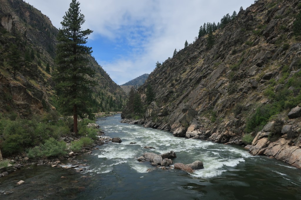
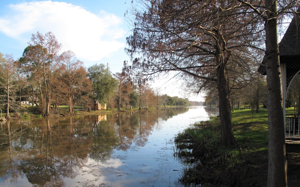
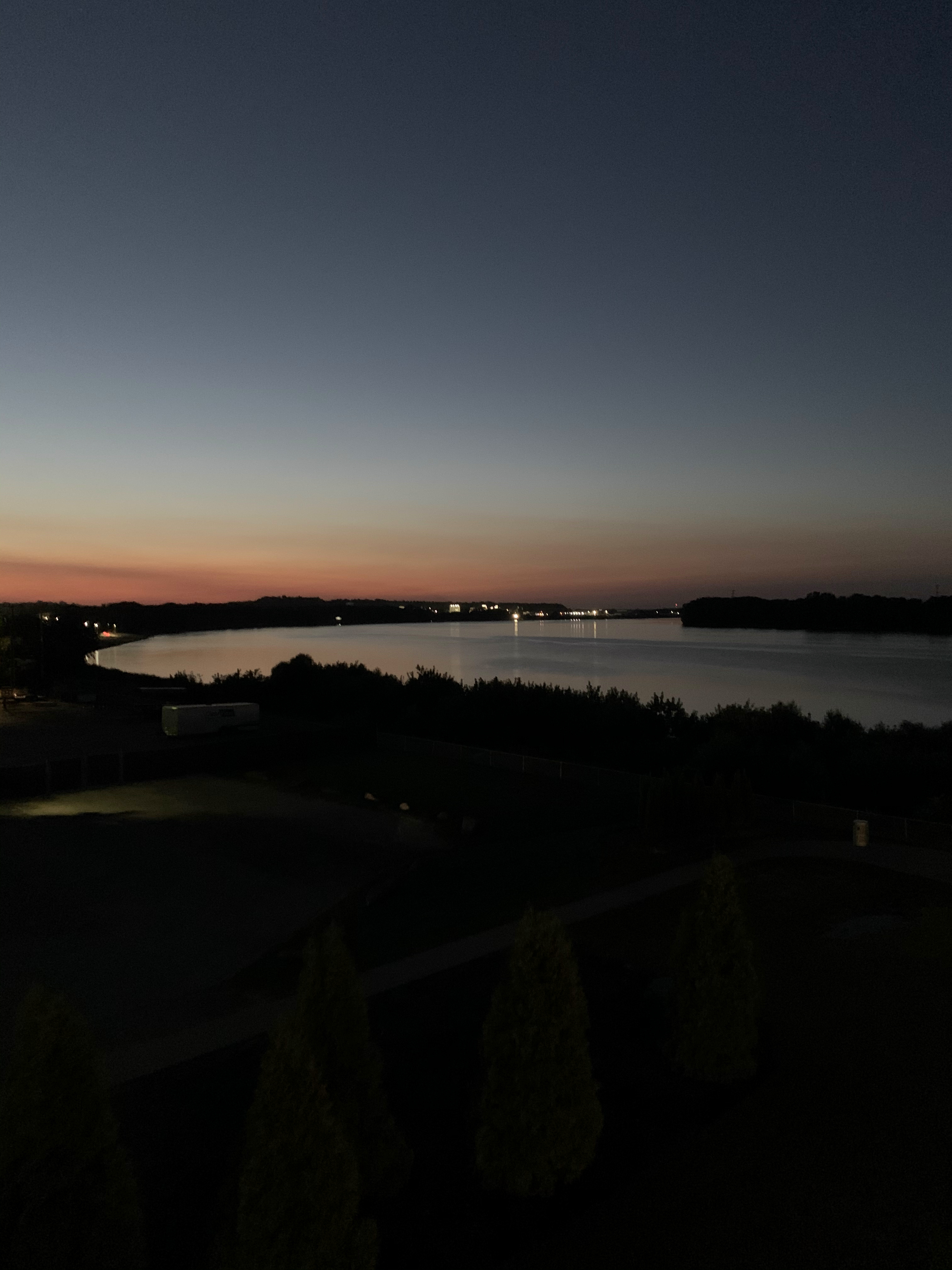
I stopped along the Ohio River in Rome, Indiana. It’s 9 o’clock in the morning. The waters are flat behind the Cannelton Dam just 10 or 20 miles downstream and the fish were biting like crazy! The overcast conditions come from some high clouds ahead of a tropical system coming ashore along the Gulf Coast.
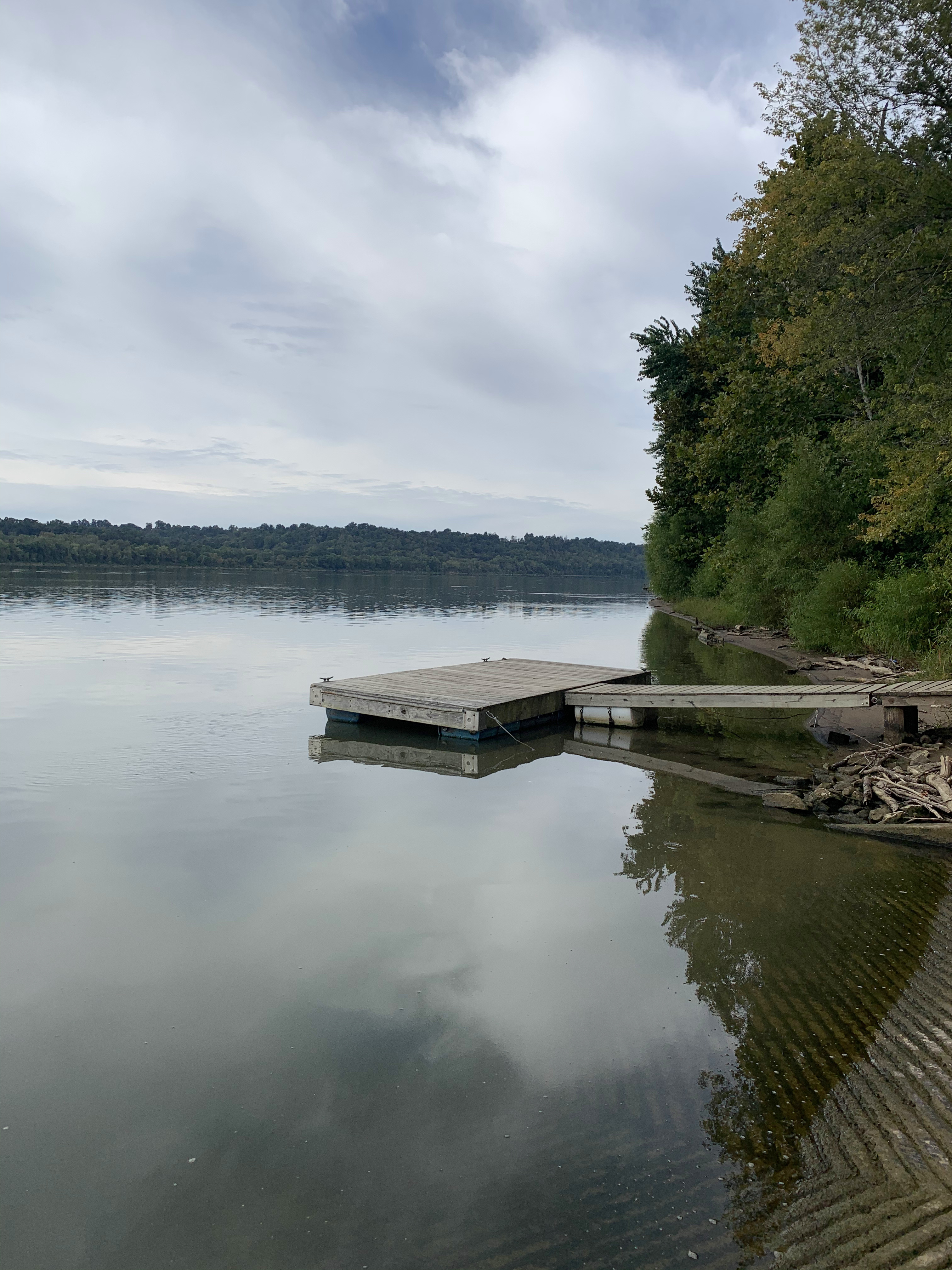

My old high school friend Mark O’Donnell saw these photos on Facebook and gave me thumbs way up. I wonder if he was planning on a fishing trip excursion to come down here from his home in Pittsburgh. This is a great fishing spot — quiet, plenty of fish, dozens of river-side rental cabins.
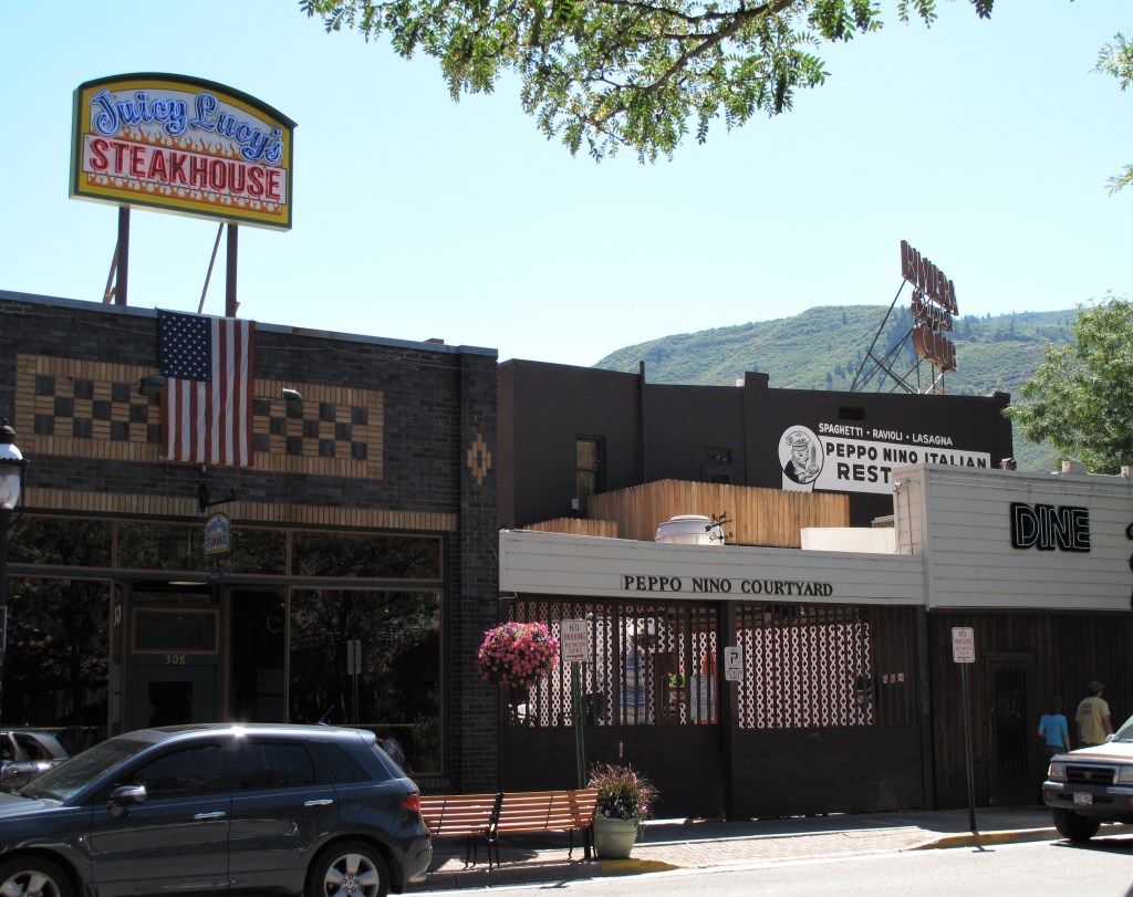
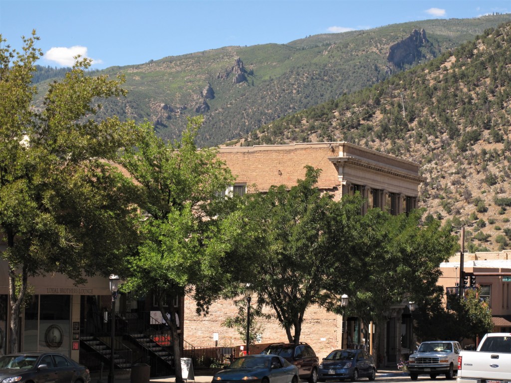
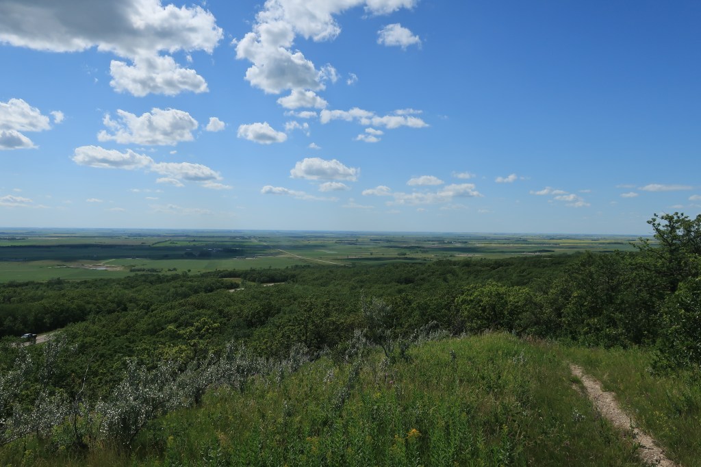
After winding east along the Ohio River for an hour or so, I headed north through some hilly, wooded miles to the town of English, Indiana, perhaps the most remote county seat in the whole state.

On to the town of Paoli, the county seat of Orange County, Indiana. The courthouse here has been in use since 1850 and is still in use today. I went inside — all the basic offices were operating: county clerk, assessor, judge, etc.

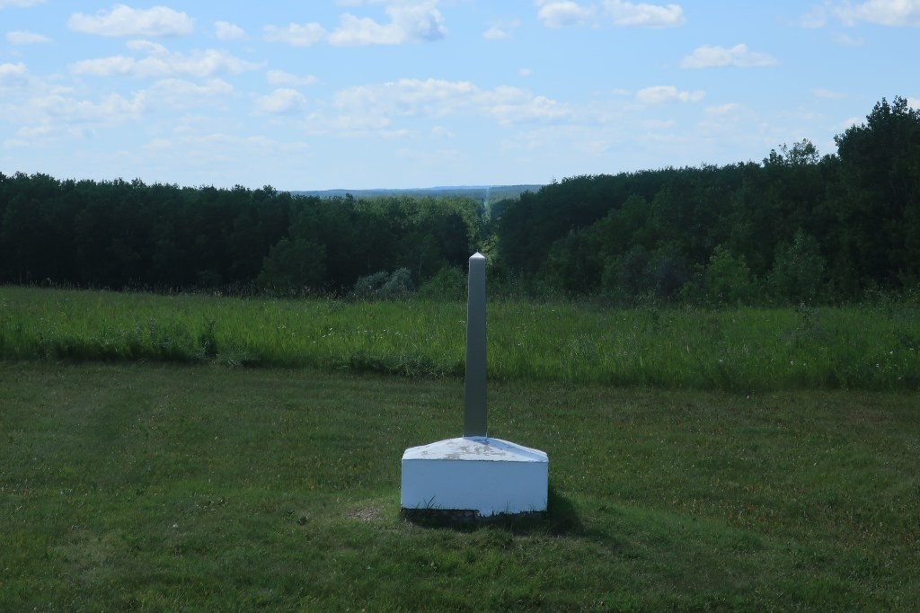
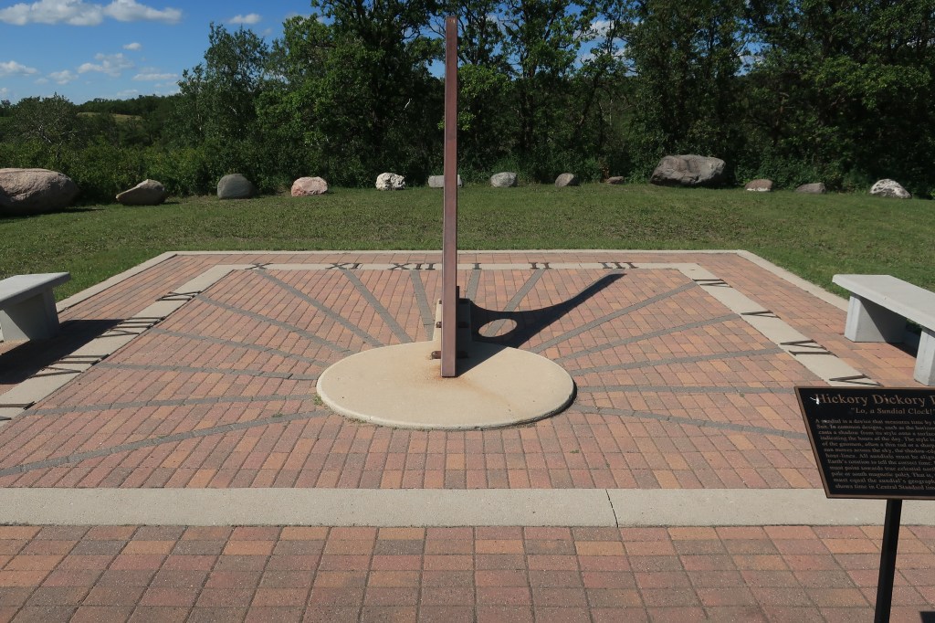
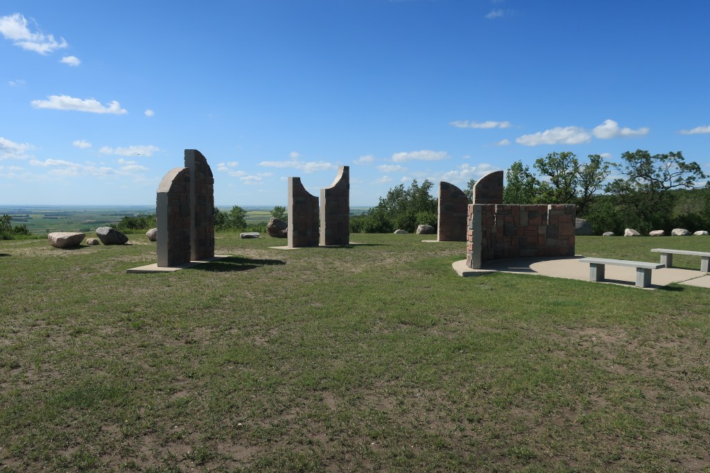
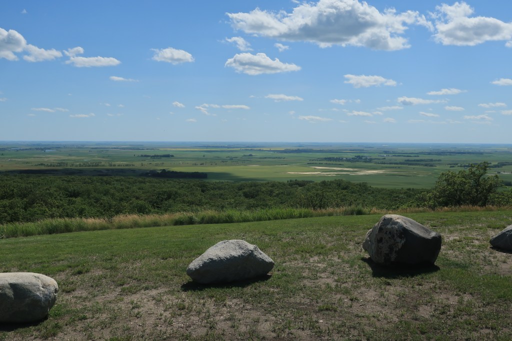
This part of Indiana is rural country, and in fact very hilly. Some Hoosiers actually refer to this part of their state as “Kentucky.” Appropriately, on my way driving out of the area, I was able to stop at the hometown of “the hick from French Lick.”
I arrived in the city of Vincennes, Indiana around 6:00 pm, in time for dinner at Procopio’s Pizza and Pasta. I chose Procopio’s because it was highly rated on TripAdvisor, but going to Byron Bobe’s Pizza House as Stacy de Rose suggested would have been even better. Alas, I saw her Facebook comment too late.
Links:
Julie’s Tell Street Cafe in Tell City
Legendz Sports Bar & Grill in French Lick
Procopio’s Pizza and Pasta in Vincennes
Byron Bobe’s Pizza House in Vincennes
Holiday Inn Express, Vincennes
Thursday, September 24, 2020. Day 7: Vincennes to Terre Haute, Indiana
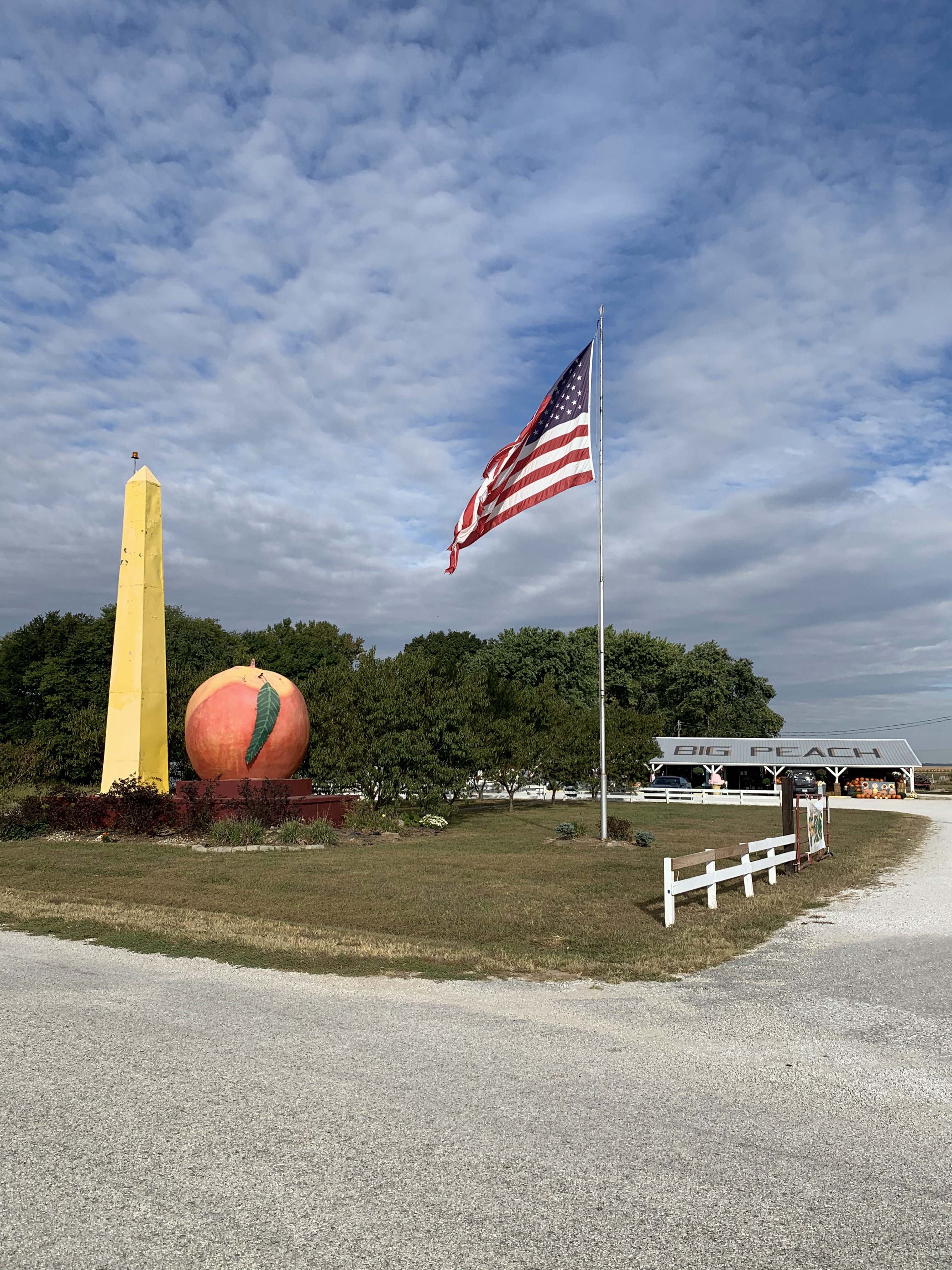
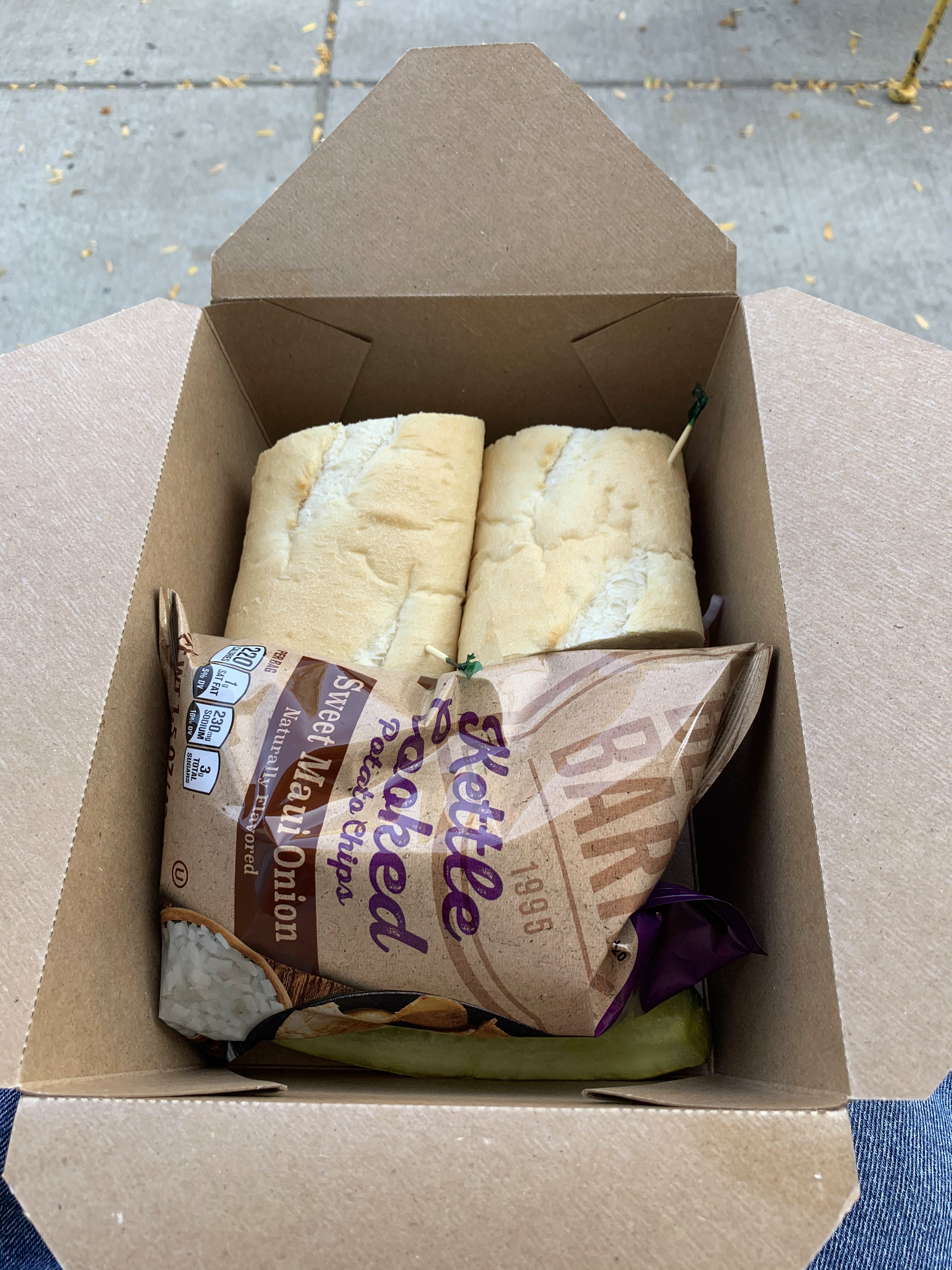
It’s a bright sunny morning and I’m off early, driving north through the farms and fields of western Indiana. I was making good time until I saw a roadside establishment called “The Big Peach,” and couldn’t help but stop for some “supplies.”

Next stop, the town of Sullivan, Indiana, a beautiful Midwestern town basking in the shade of its tall trees.
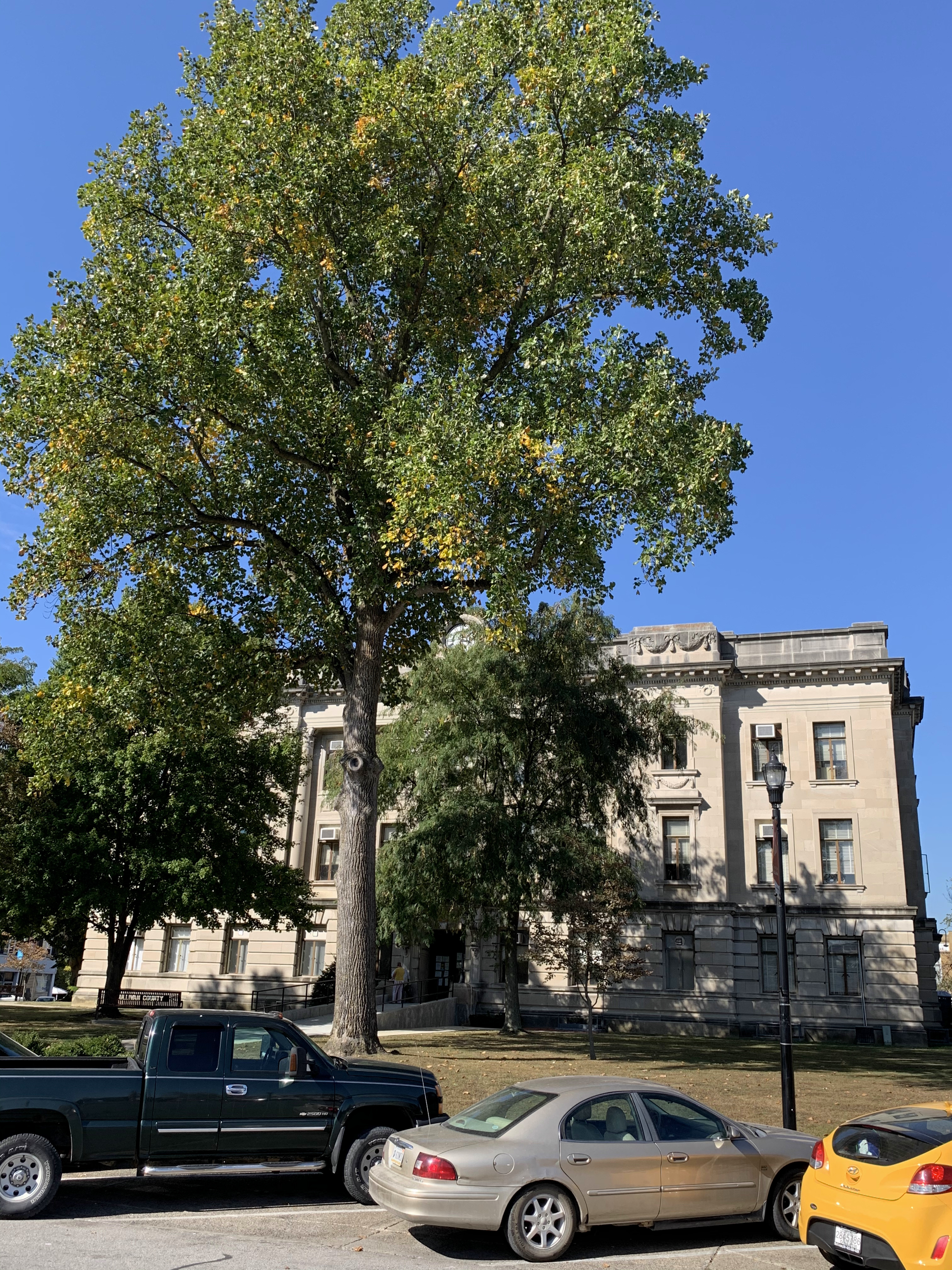
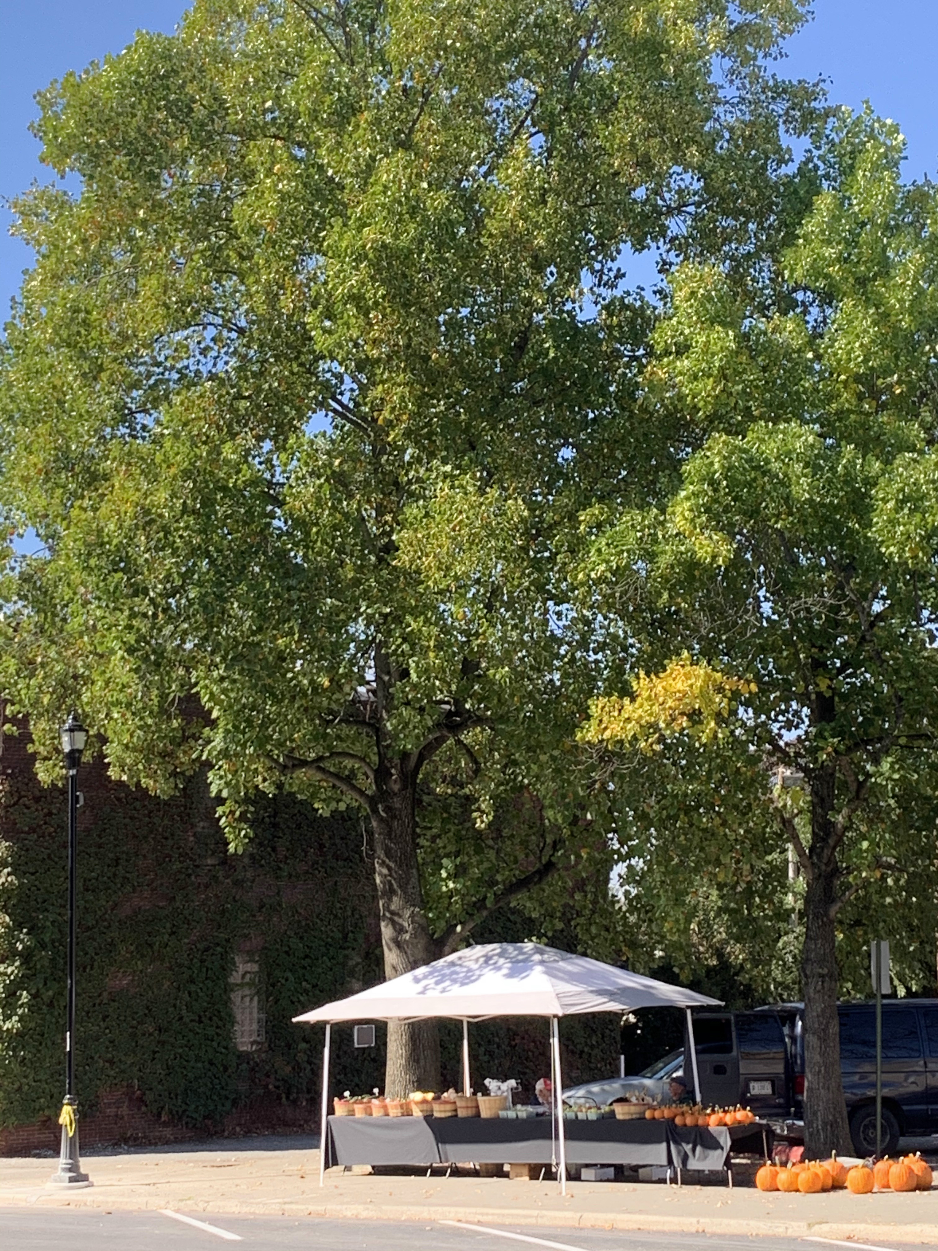

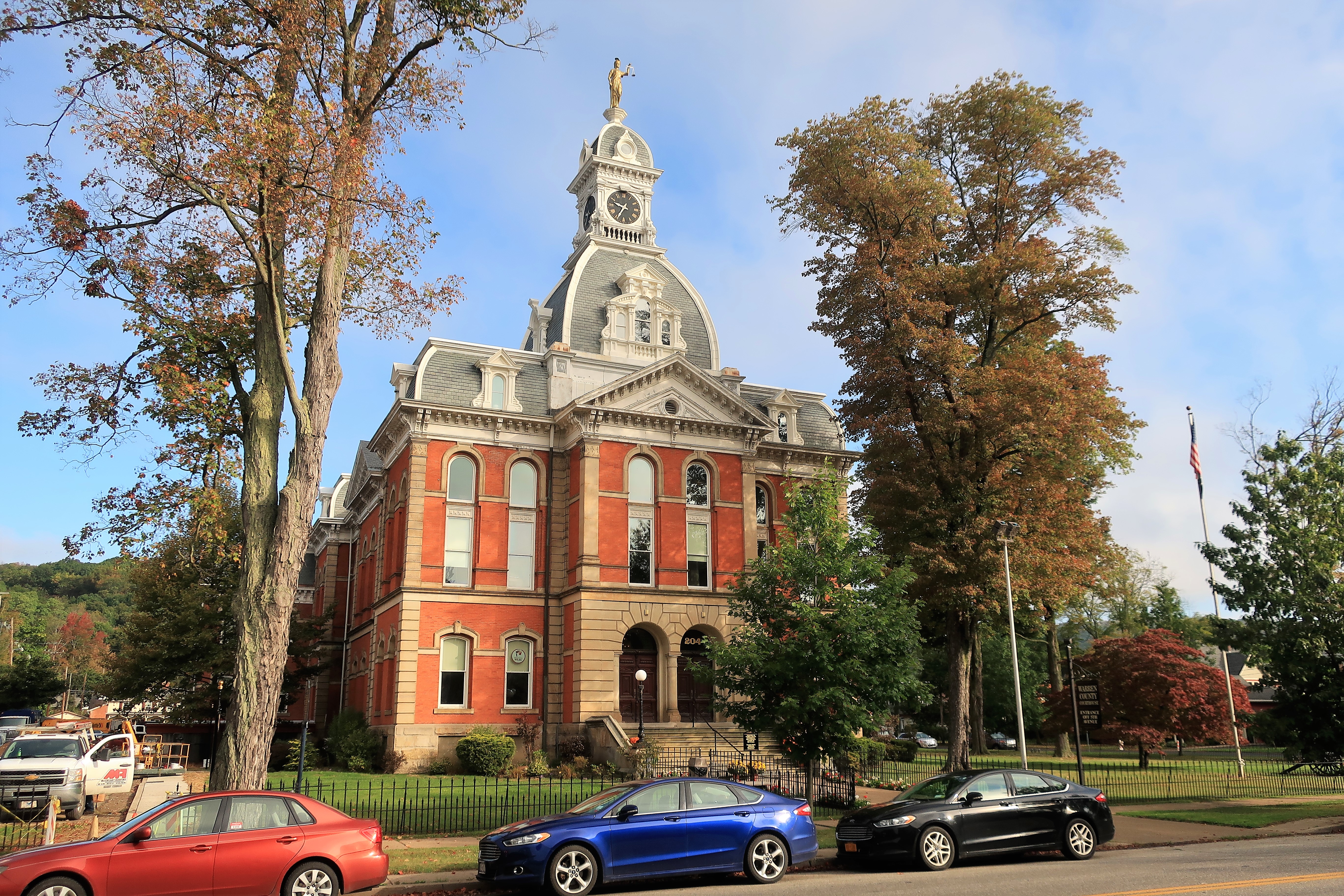
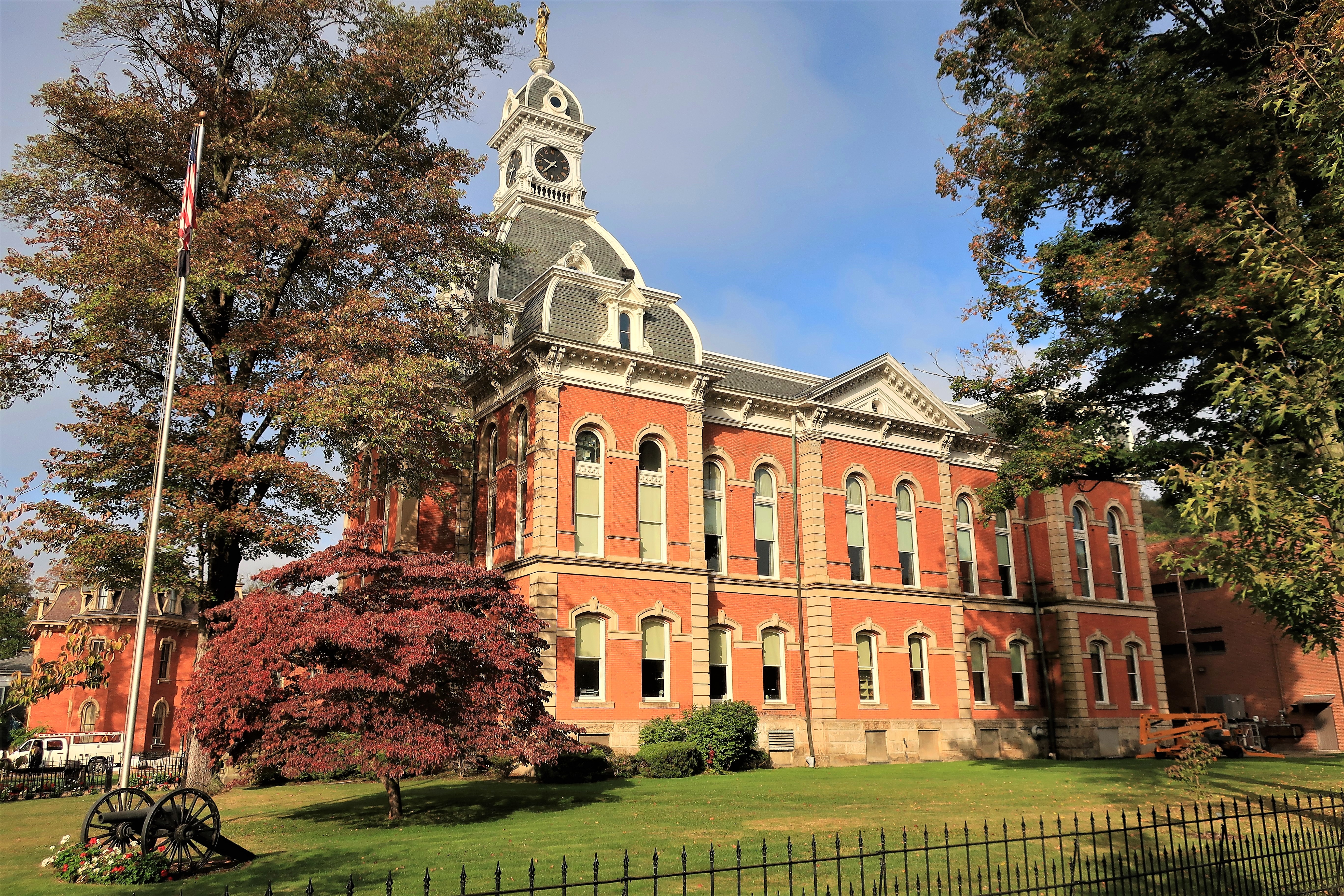
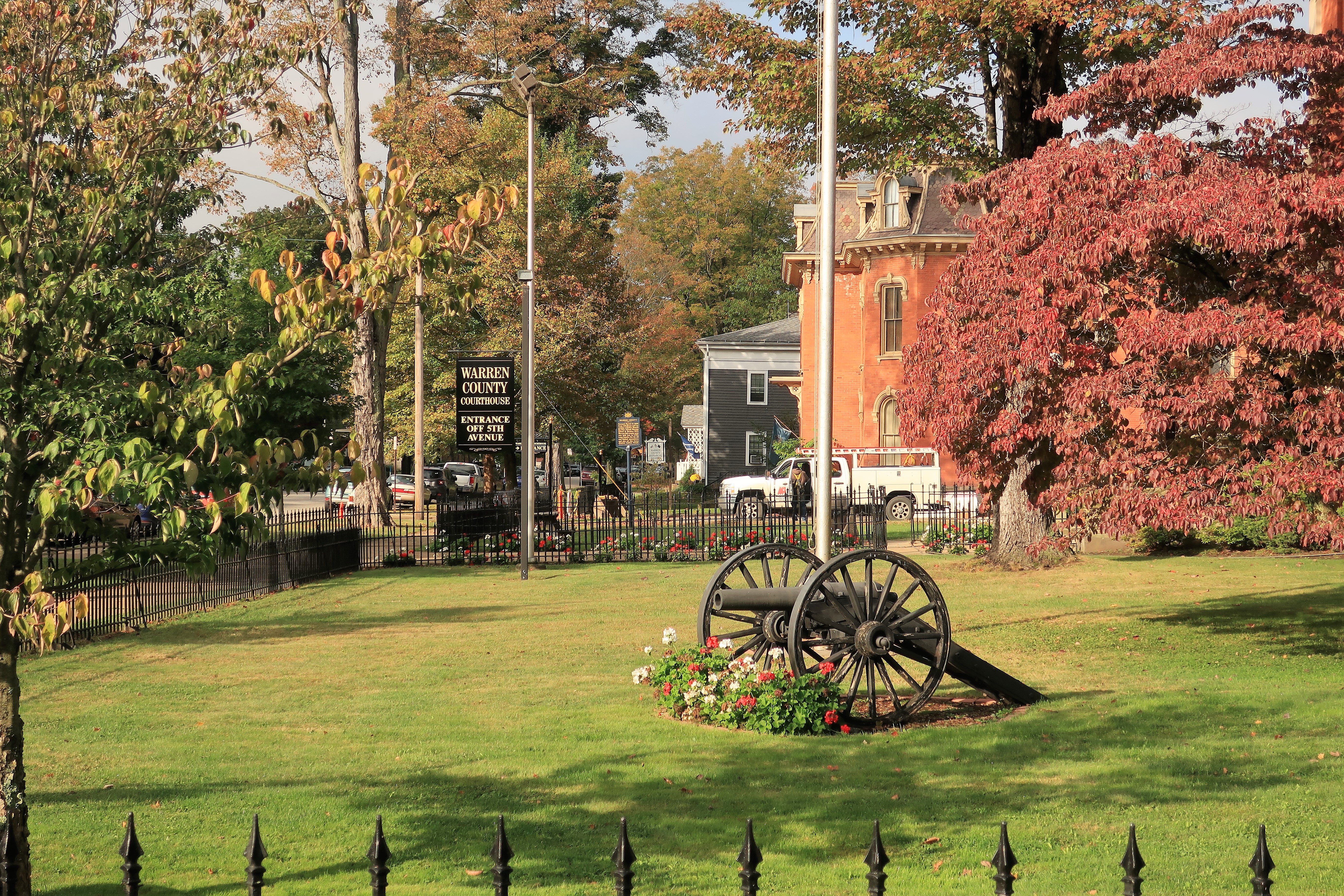
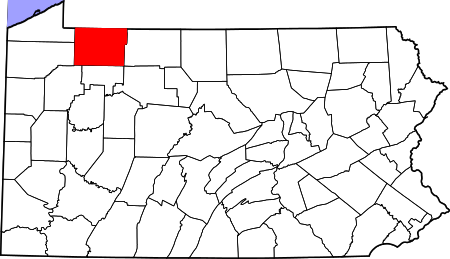
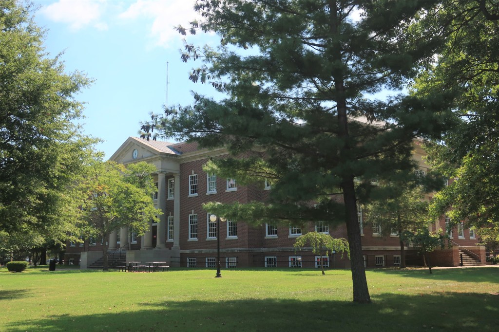
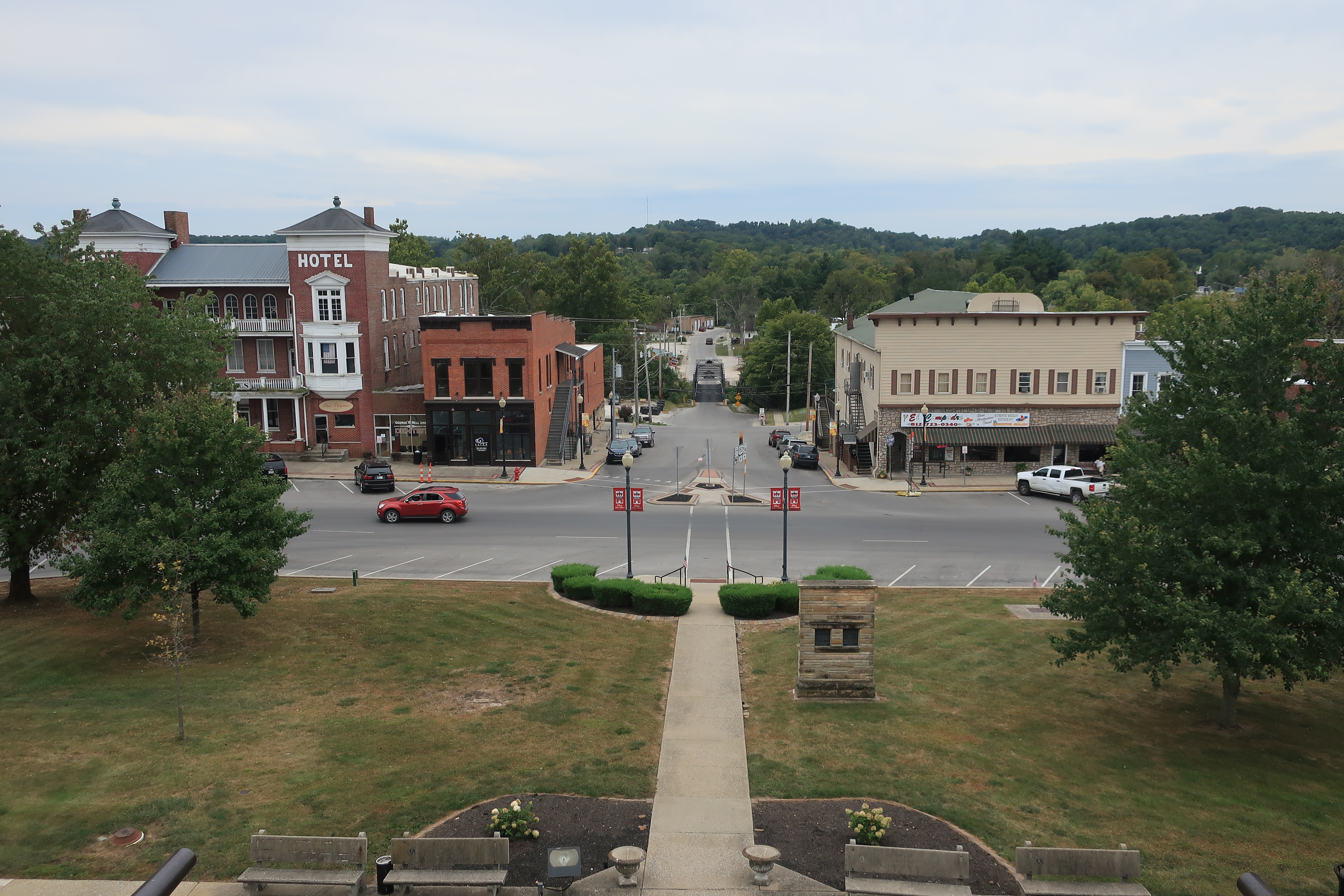
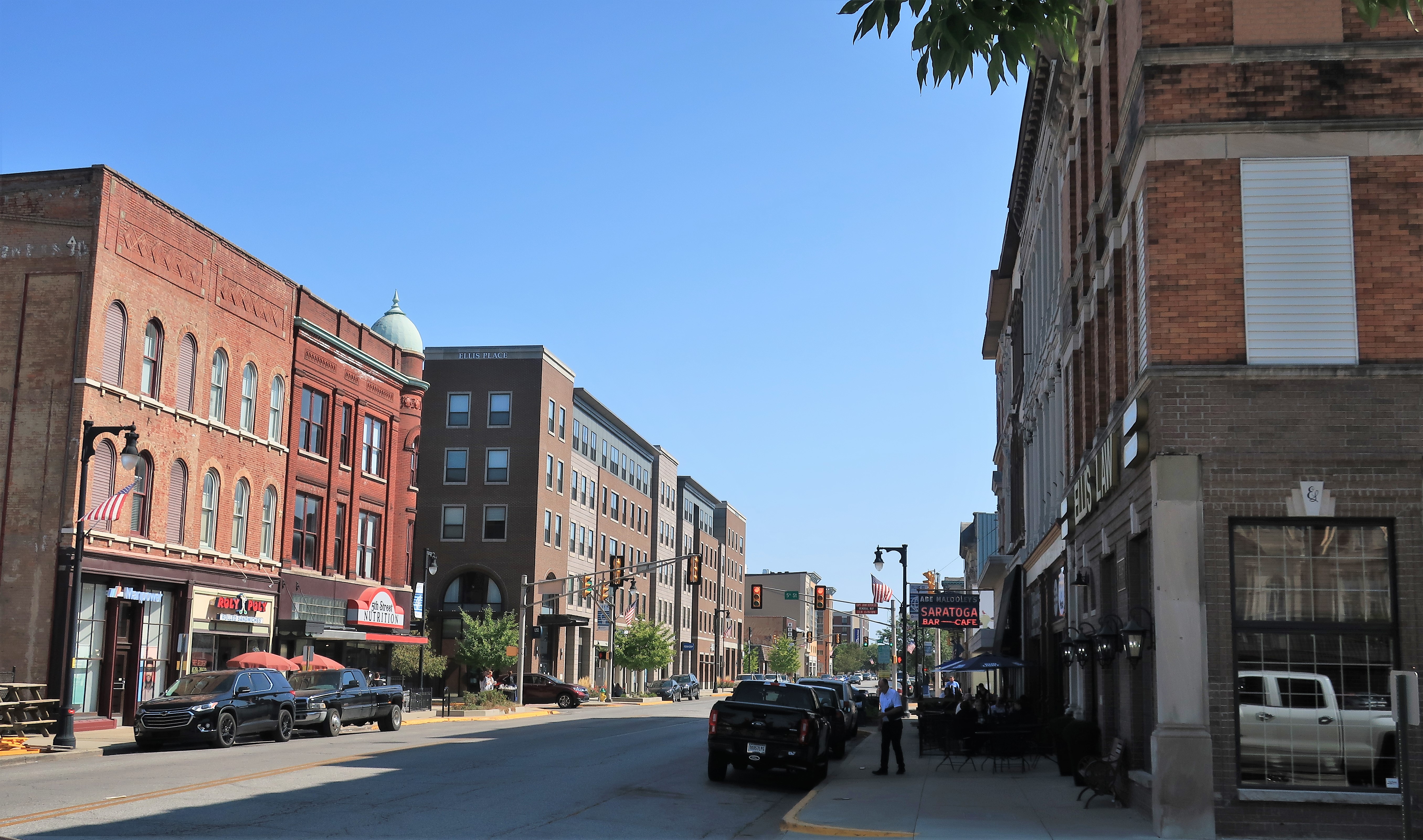
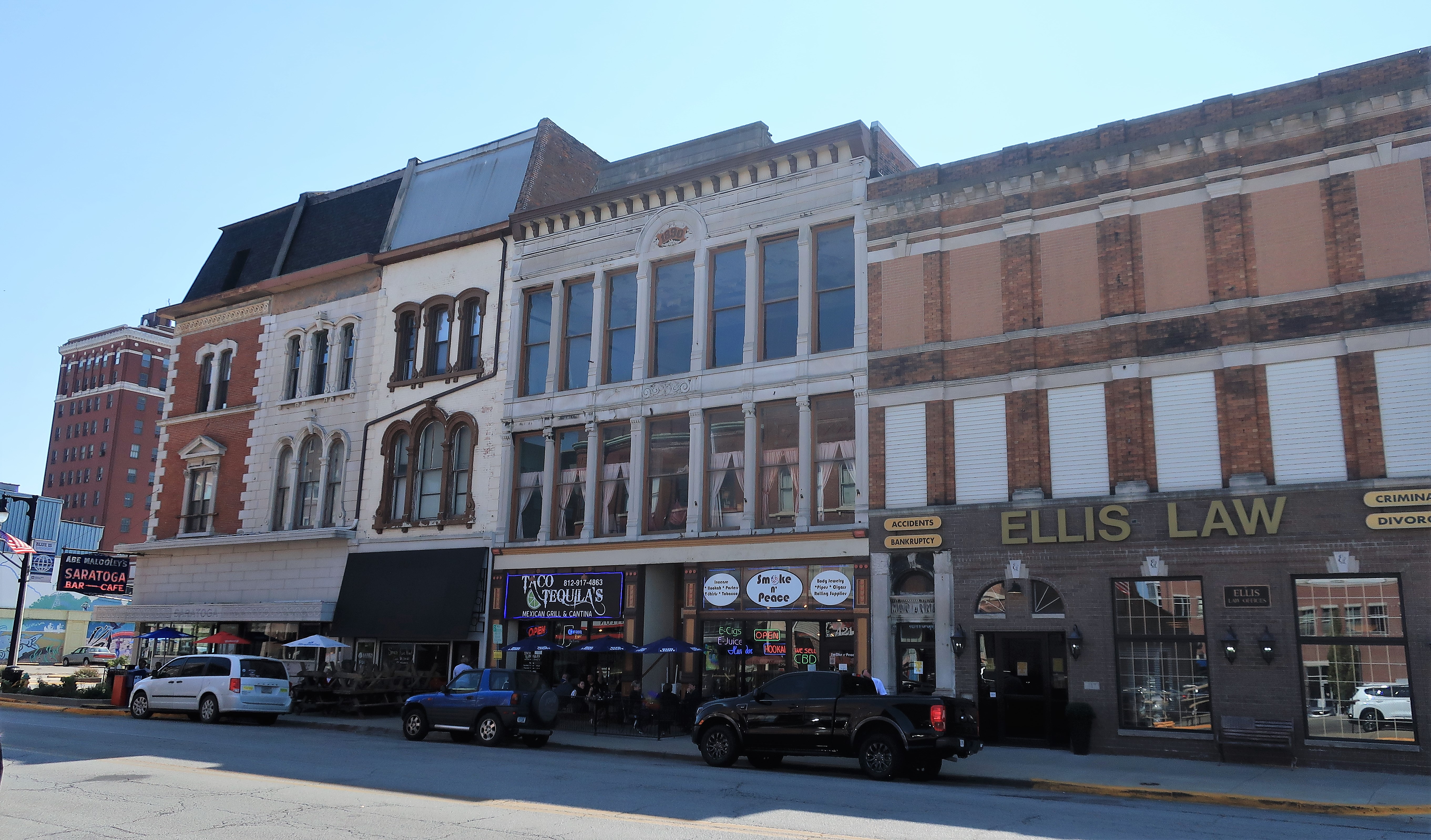
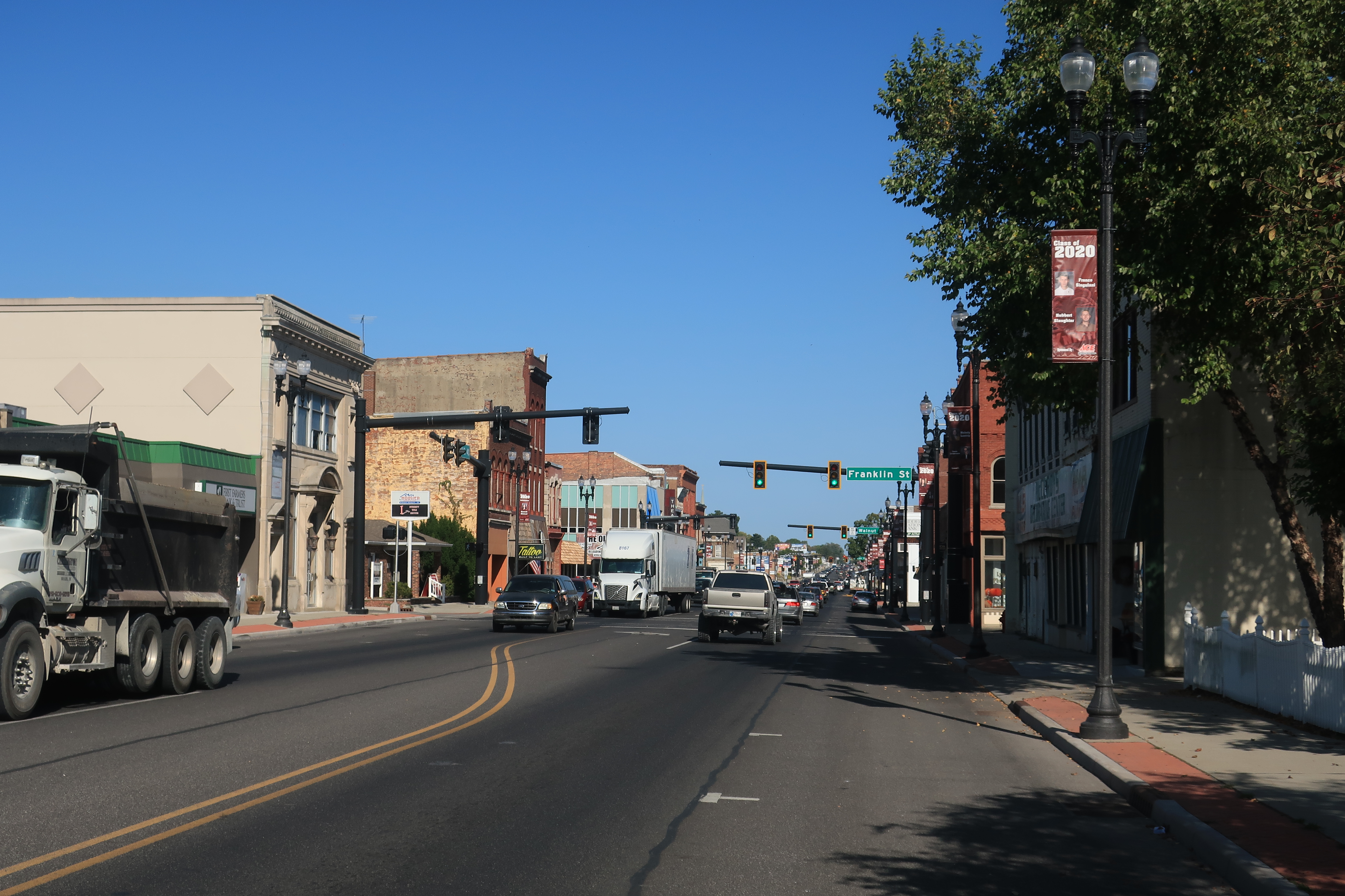
The next county to the north is Vigo County, home of the city of Terre Haute and Indiana State University. “Terre Haute” is French for “high ground,” and there is a lot of French influence around town, starting with the courthouse.
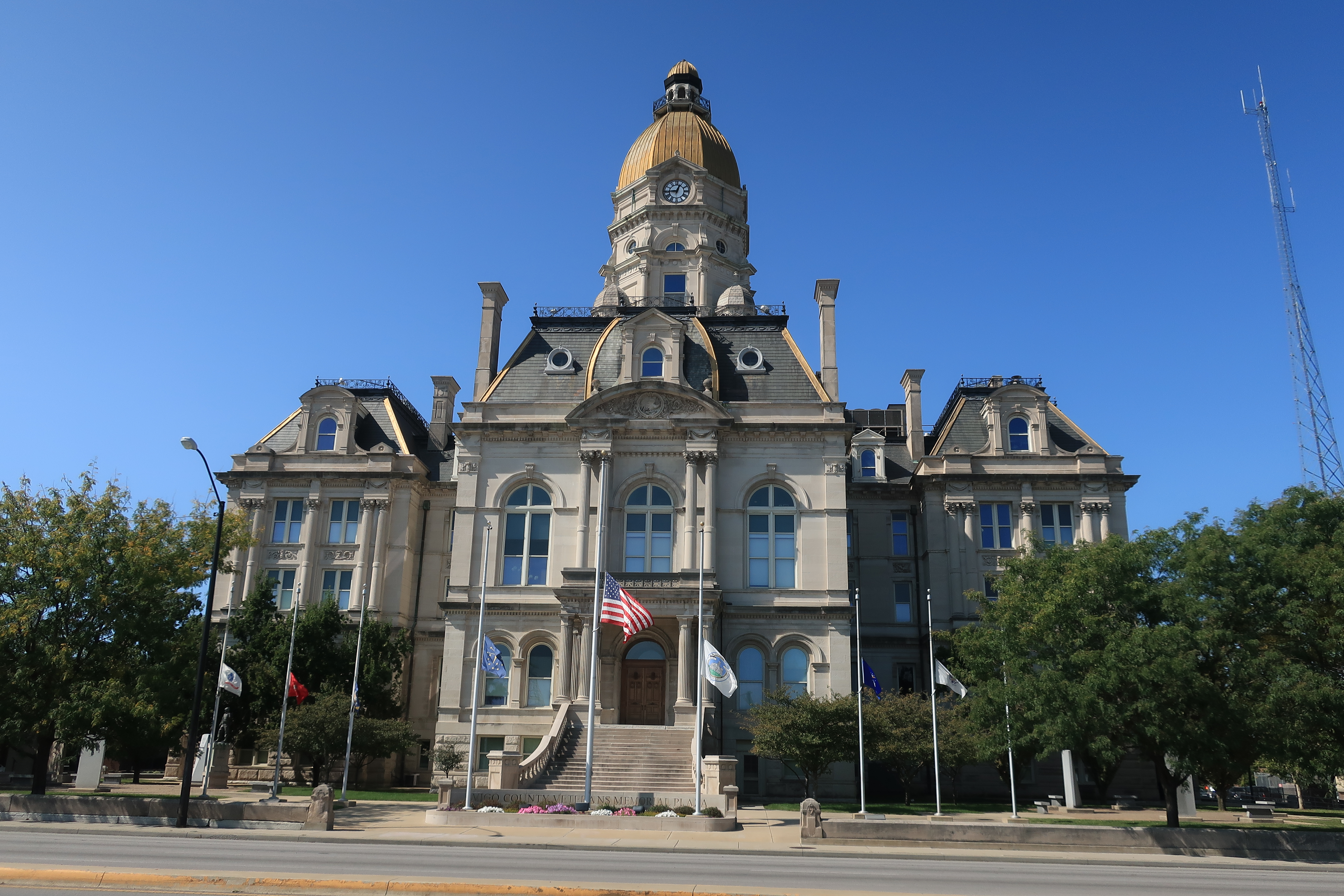
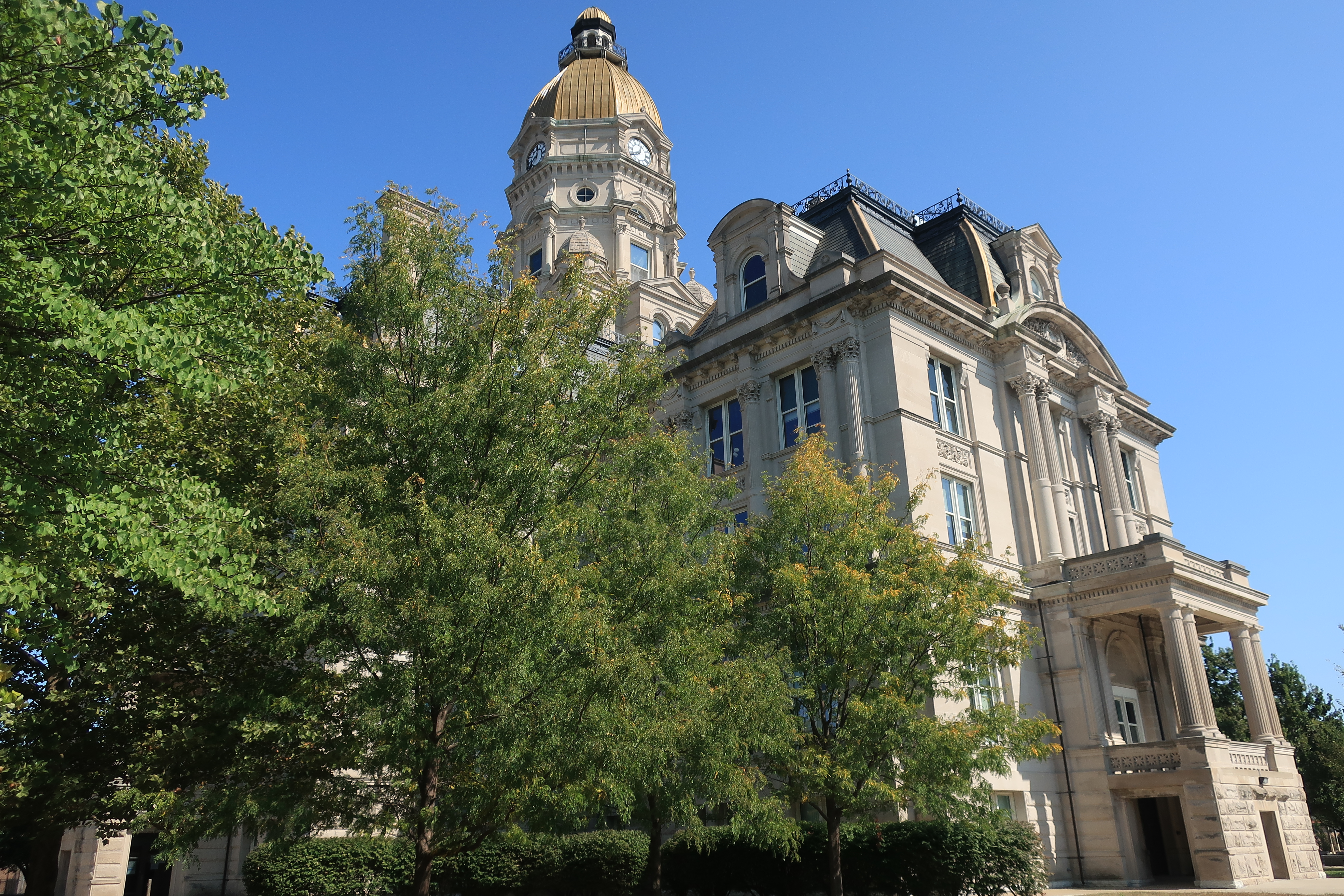
The courthouse is a magnificent example of Second Empire-style structure.
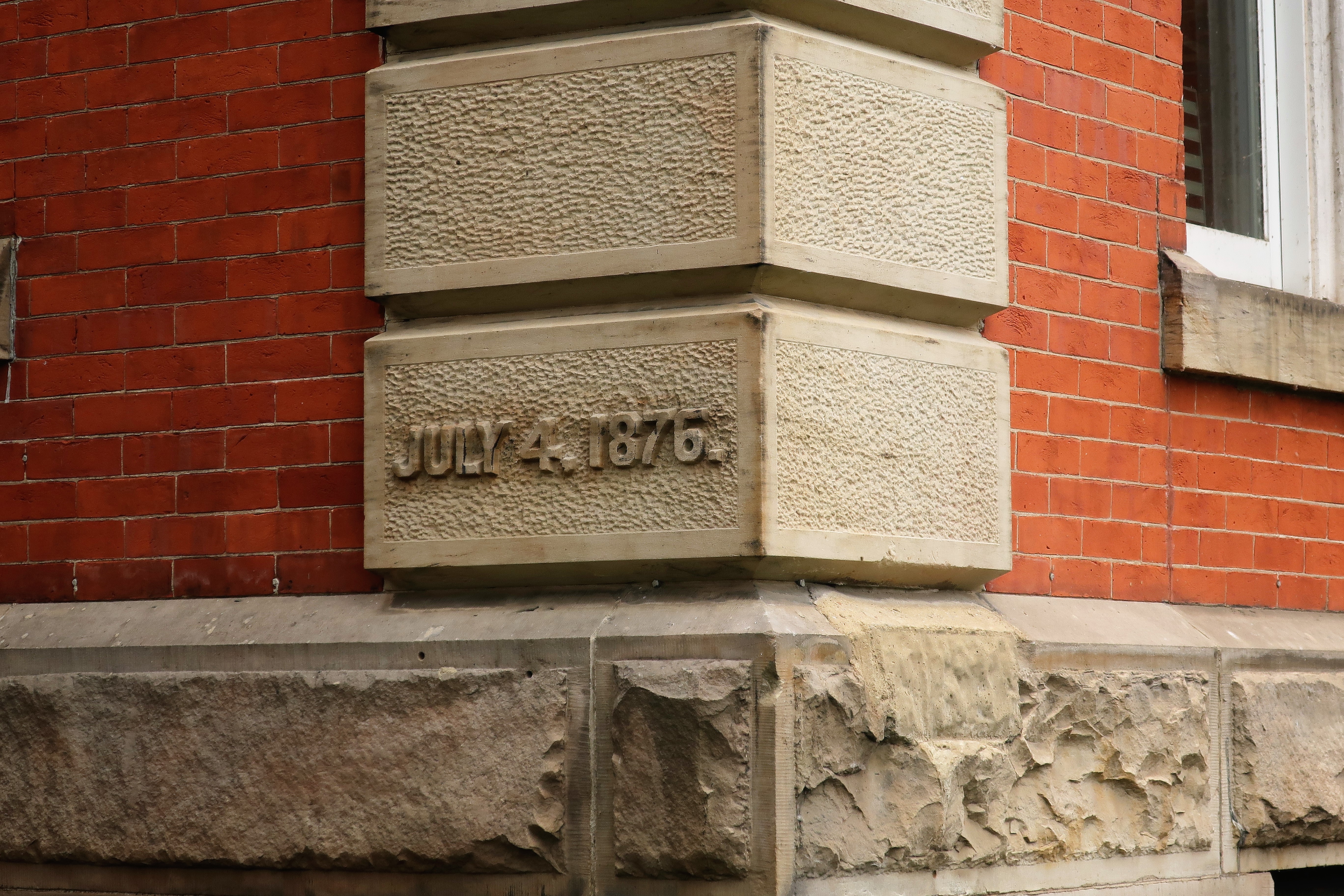
From the Wikipedia entry on the Vigo County Courthouse:
“Designed by Cincinnati architect Samuel Hannaford, the building was constructed by the Terre Haute Stone Company at a cost of $443,000. The courthouse is made from Indiana limestone gathered from Stinesville, Indiana quarries…Originally, the main floor consisted of offices, with two large, high-ceiling courtrooms on the second floor. Elegantly finished and furnished, the courthouse was heated with steam from a detached building to the south and featured a hydraulic elevator.”
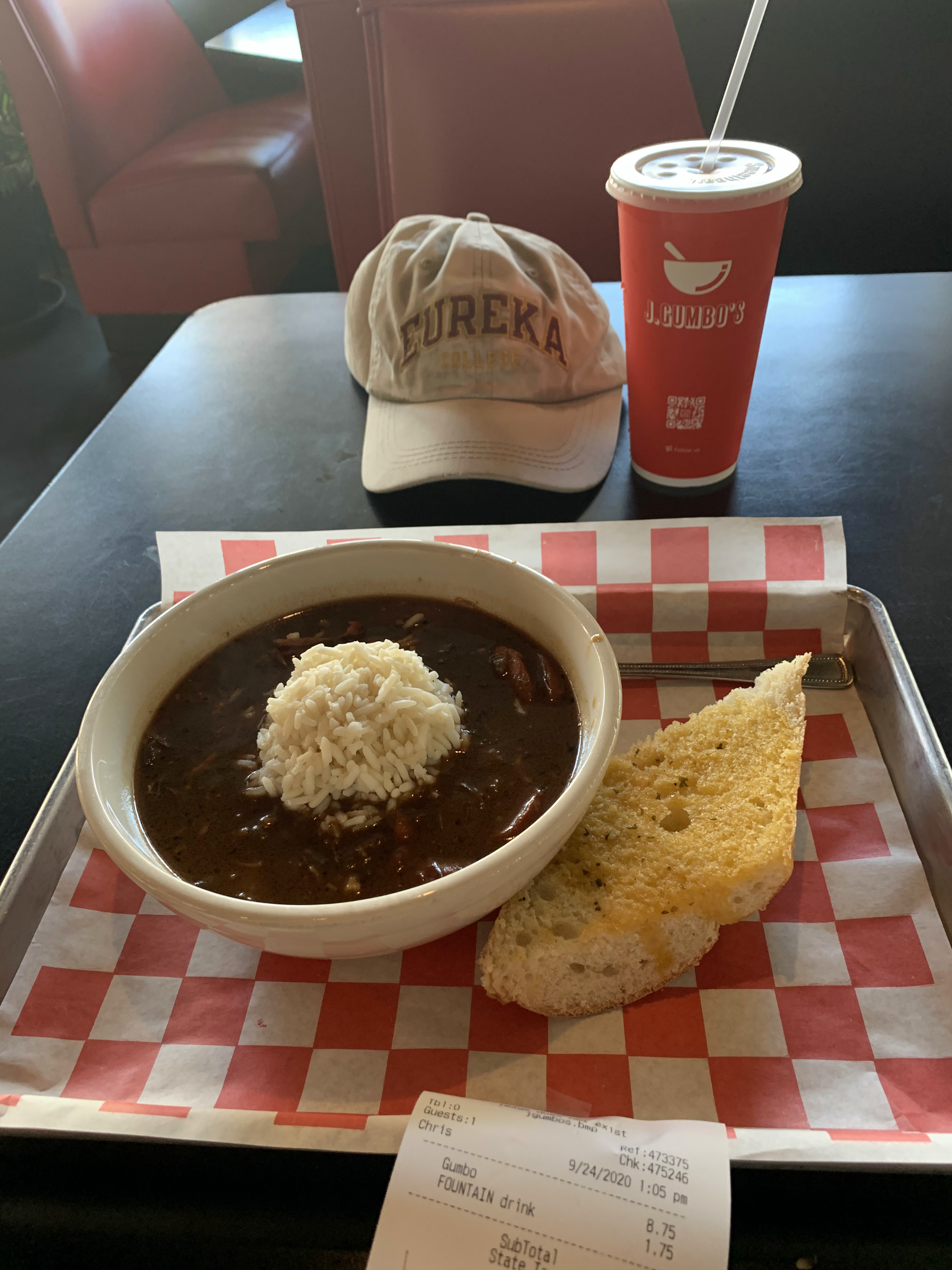
Lunchtime in Terre Haute. Question: What’s the best part of ‘Frenchness’? Answer: GUMBO!
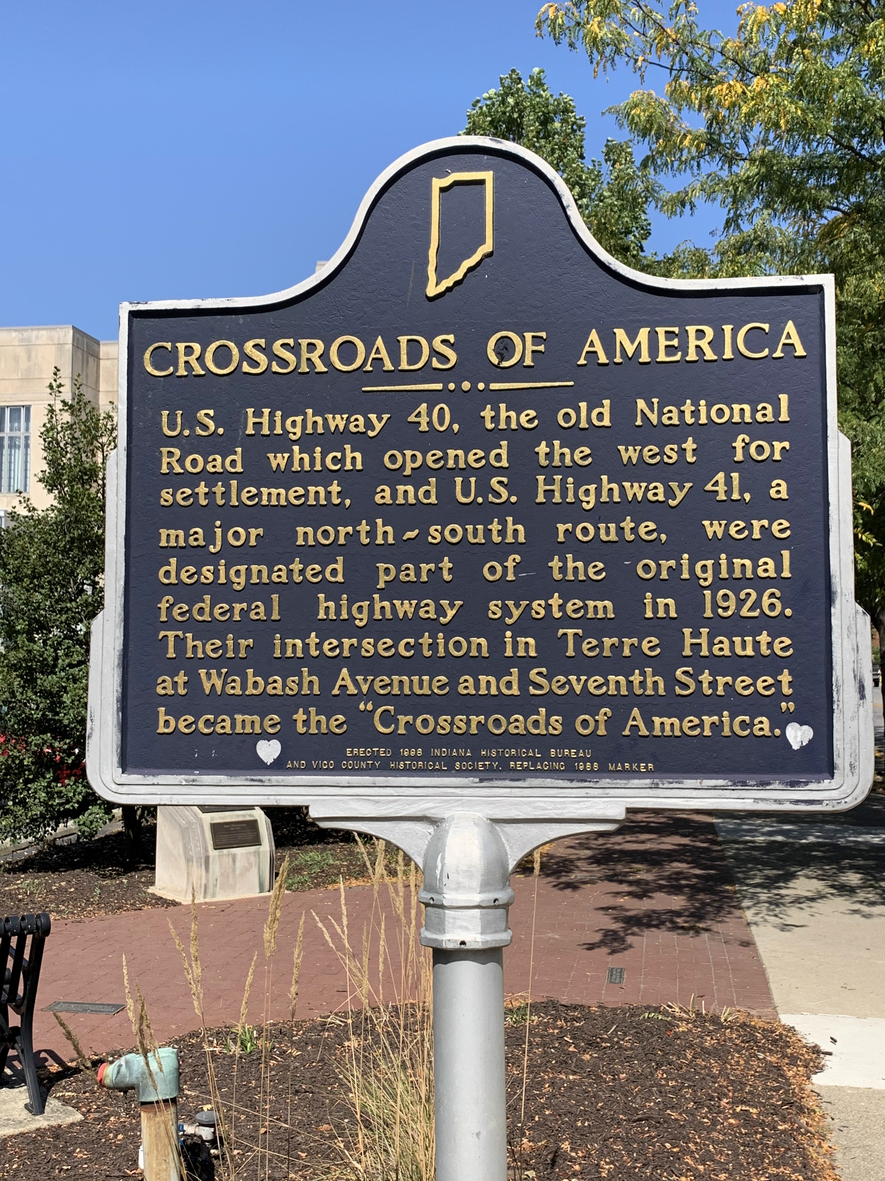
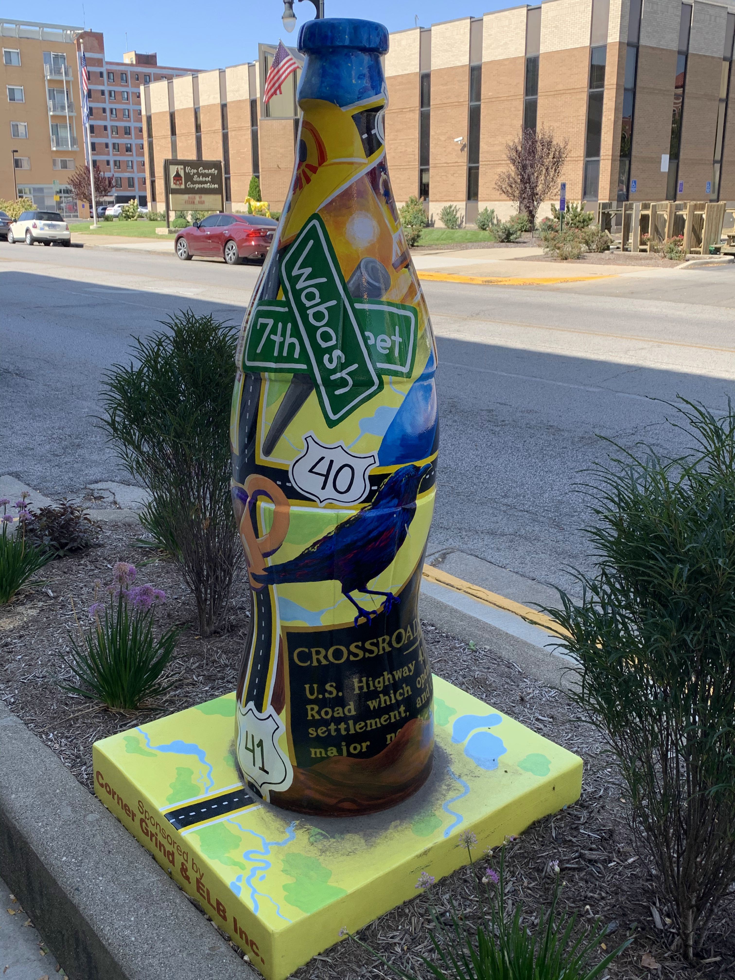
Terre Haute is sometimes referred to as the “Crossroads of America” since the intersection of 7th Street and Wabash Avenue was also the intersection of U.S. Routes 40 and 41 — both are cross-country routes. The roadsign will explain the details:

After toying with the idea of staying the afternoon at J. Gumbo’s, I decided instead to drive the old National Road east one county to the town of Brazil. Nice place. They have a Vietnam-era Air Force fighter jet parked on their courthouse lawn.

Now back to Terre Haute for some dinner and a night’s rest.
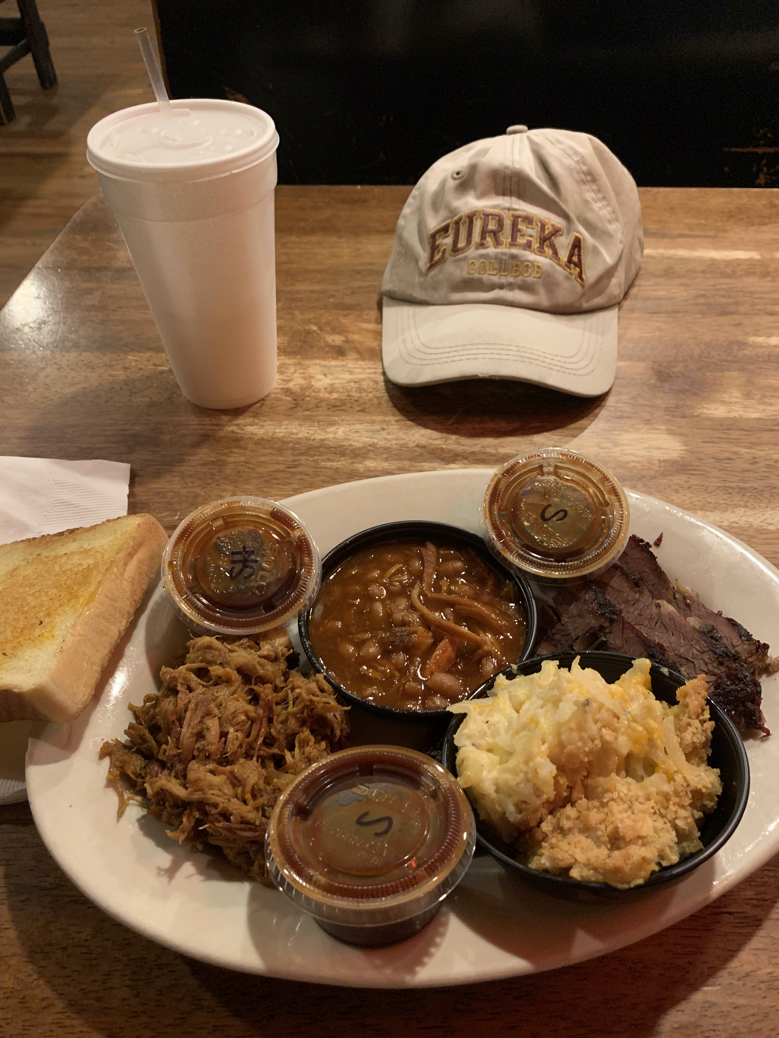
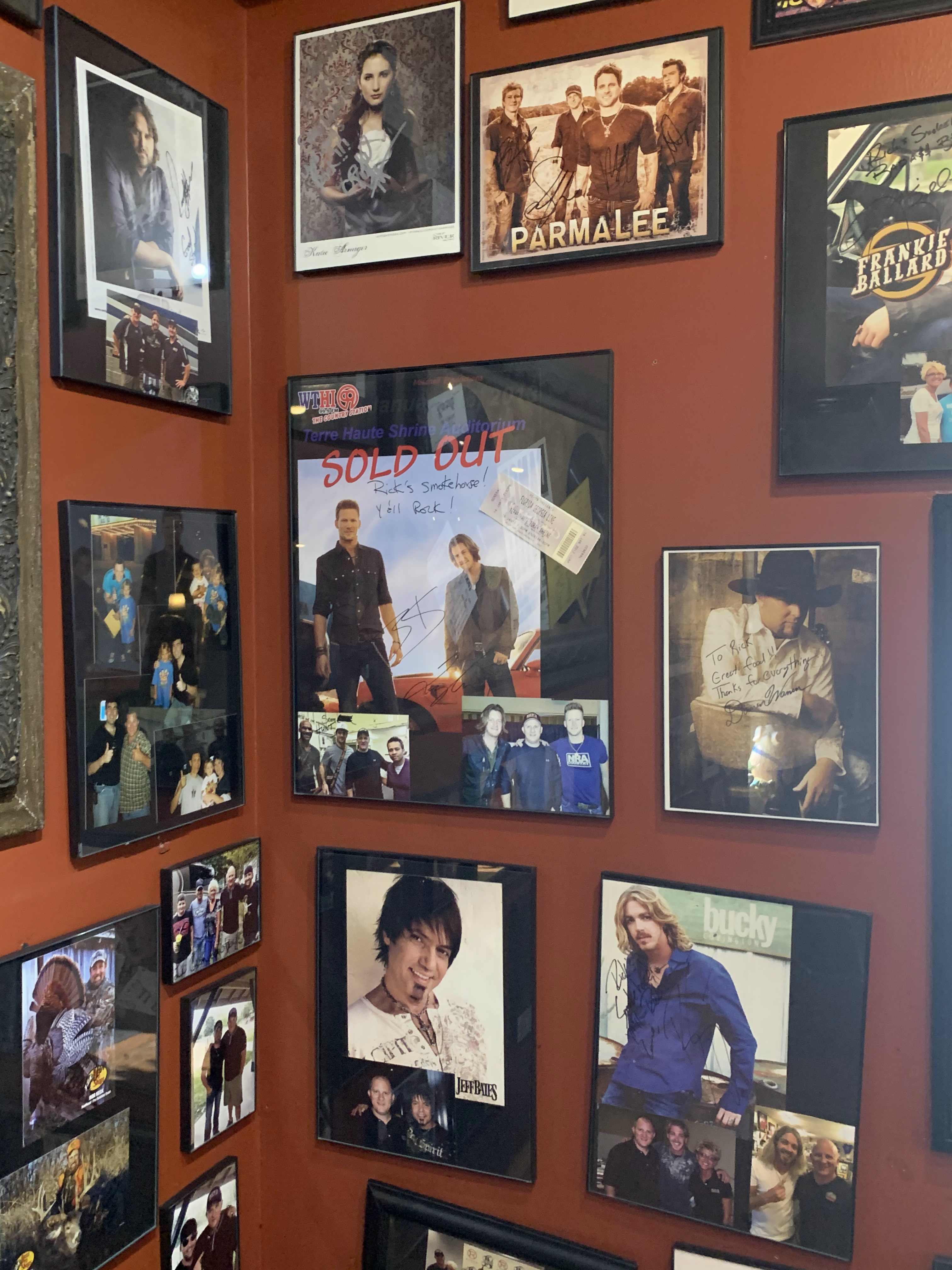
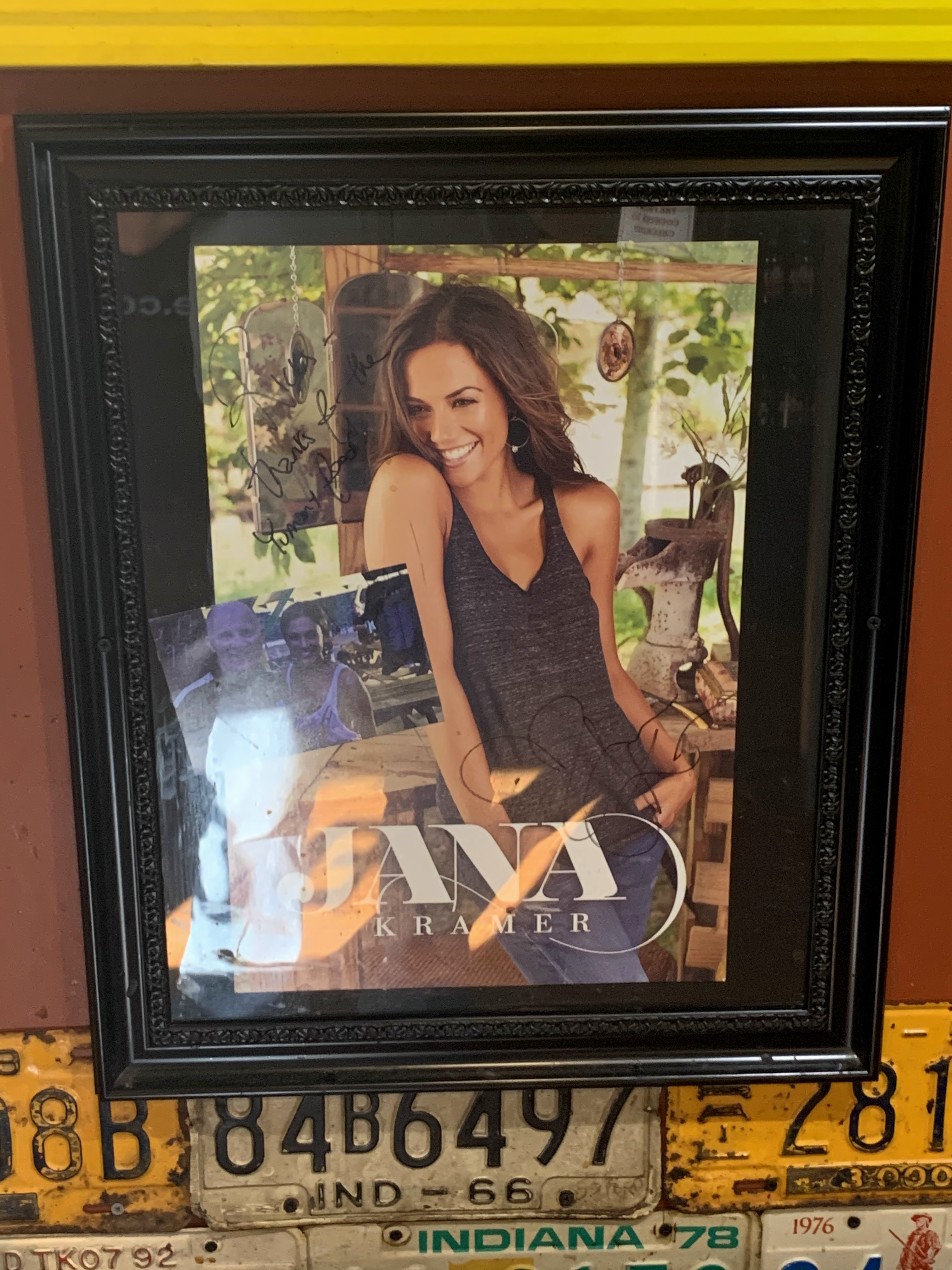
It turns out that Rick’s Smokehouse is a favorite stopping place for country music bands touring through Terre Haute. Poster’s tacked on the wall are signed by the artists (some now famous):
That evening I checked my Facebook traffic. Jim Street asked me, “what’s the occasion for your road trip, Tim?” I answered:
—free time
—a few bucks in the bank
—summer warmth won’t last forever
—life is short
—my old car is still reliable enough for long trips. That won’t last forever
—weather forecast said this whole week would be sunny and pleasant in the Midwest
AND FINALLY:—a big election is coming up. I feel confident but if it goes sideways THIS COUNTRY WILL NEVER BE THE SAME. I wanna see it now, at its best. Thanks for the question, Jim. It gives me a chance to put all things in perspective.
As if those reasons weren’t enough, I learned just 25 minutes later that my high school friend Mark O’Donnell had just passed away. He was 59. He had liked my Ohio River photos just two days before. Another old school friend, Drew Podnar, posted the news. Mark will be missed.
Life is short indeed.
Links:
The Big Peach in Bruceville, Indiana
J. Gumbo’s in Terre Haute
Indiana Theatre and Event Center in Terre Haute
Rick’s Smokehouse BBQ & Grill in Terre Haute
La Quinta Inn & Suites in Terre Haute
Friday, September 25, 2020. Day 8: Terre Haute to Seneca, Kansas
Time to go home. All good things must come to an end. I have two days driving to do from western Indiana through the farmlands of central Illinois, across the Mississippi River, through the farmlands of central Missouri, across the Missouri River, then on to Seneca, Kansas to spend the night.
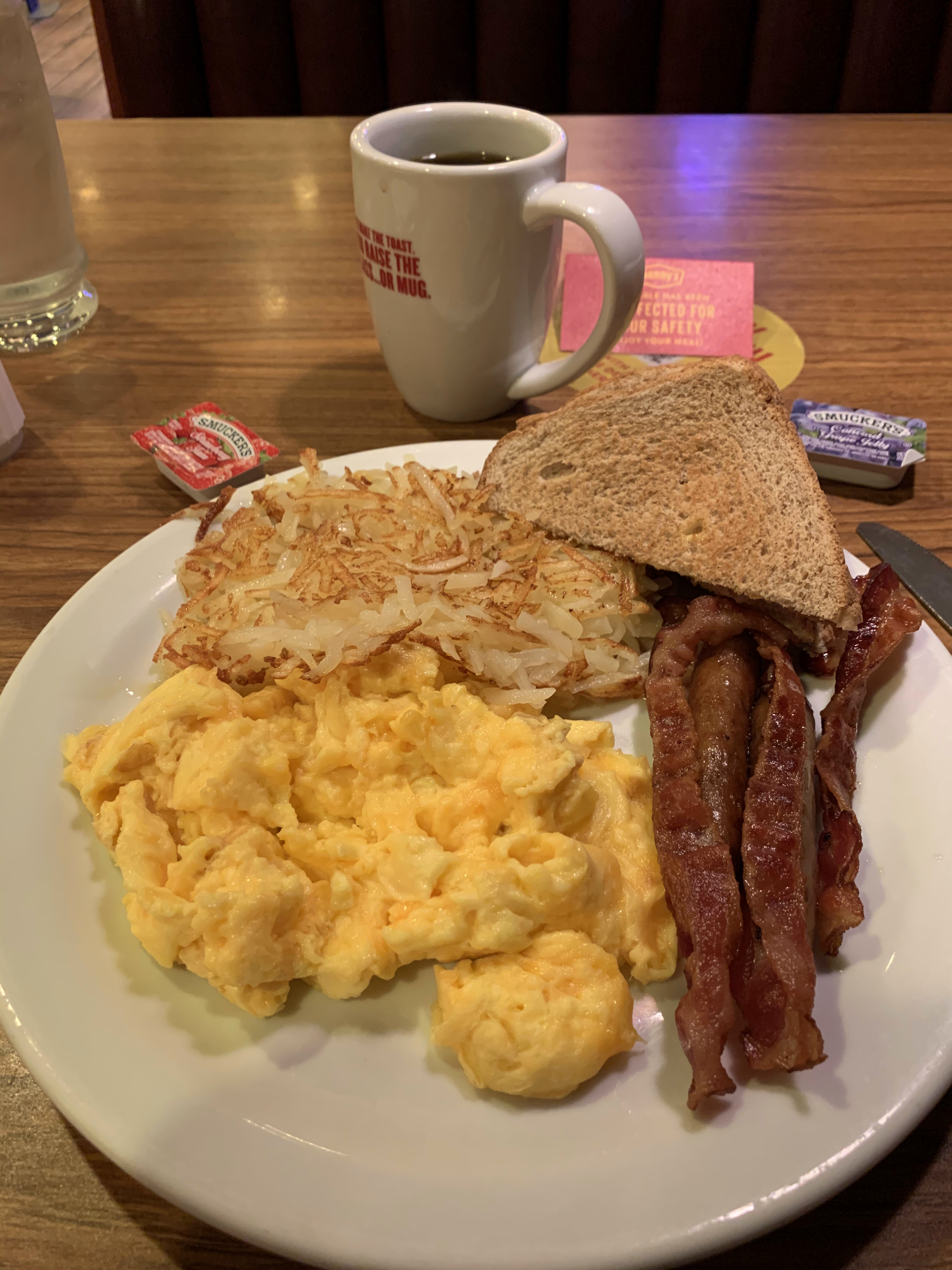
First, breakfast at Denny’s in Terre Haute:
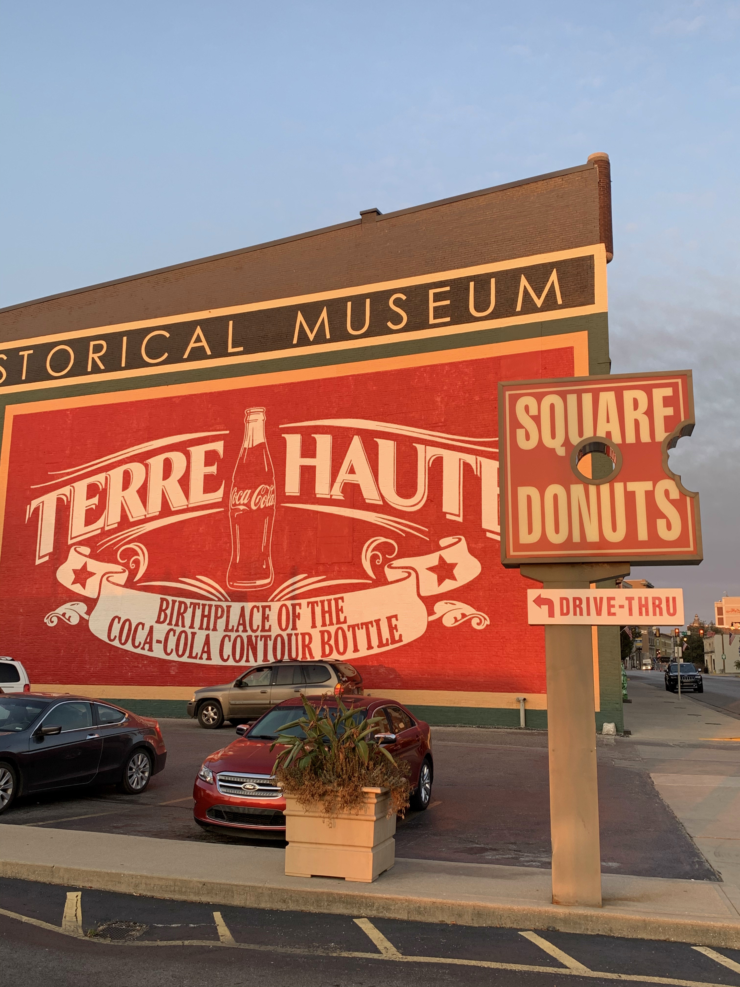
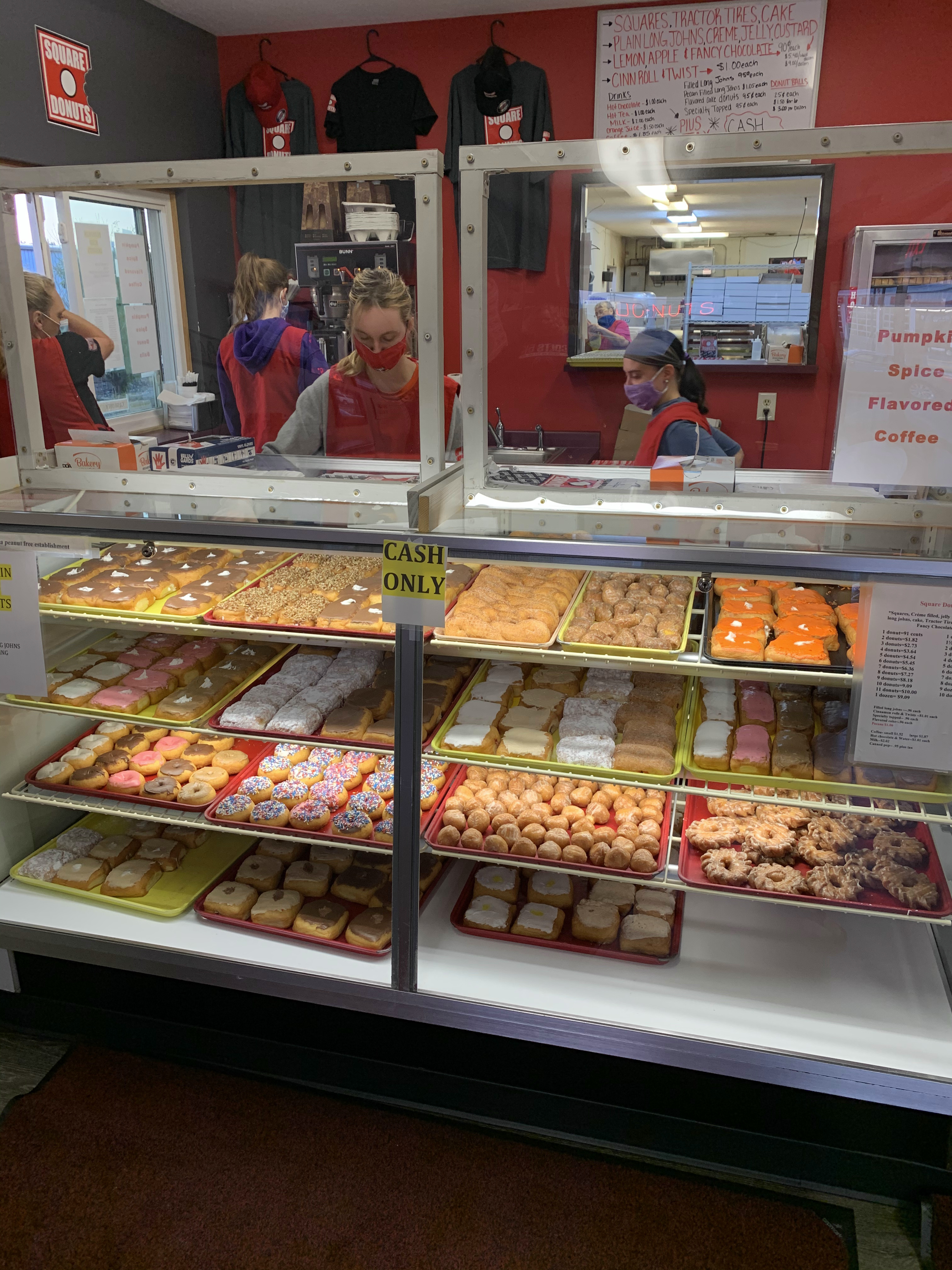
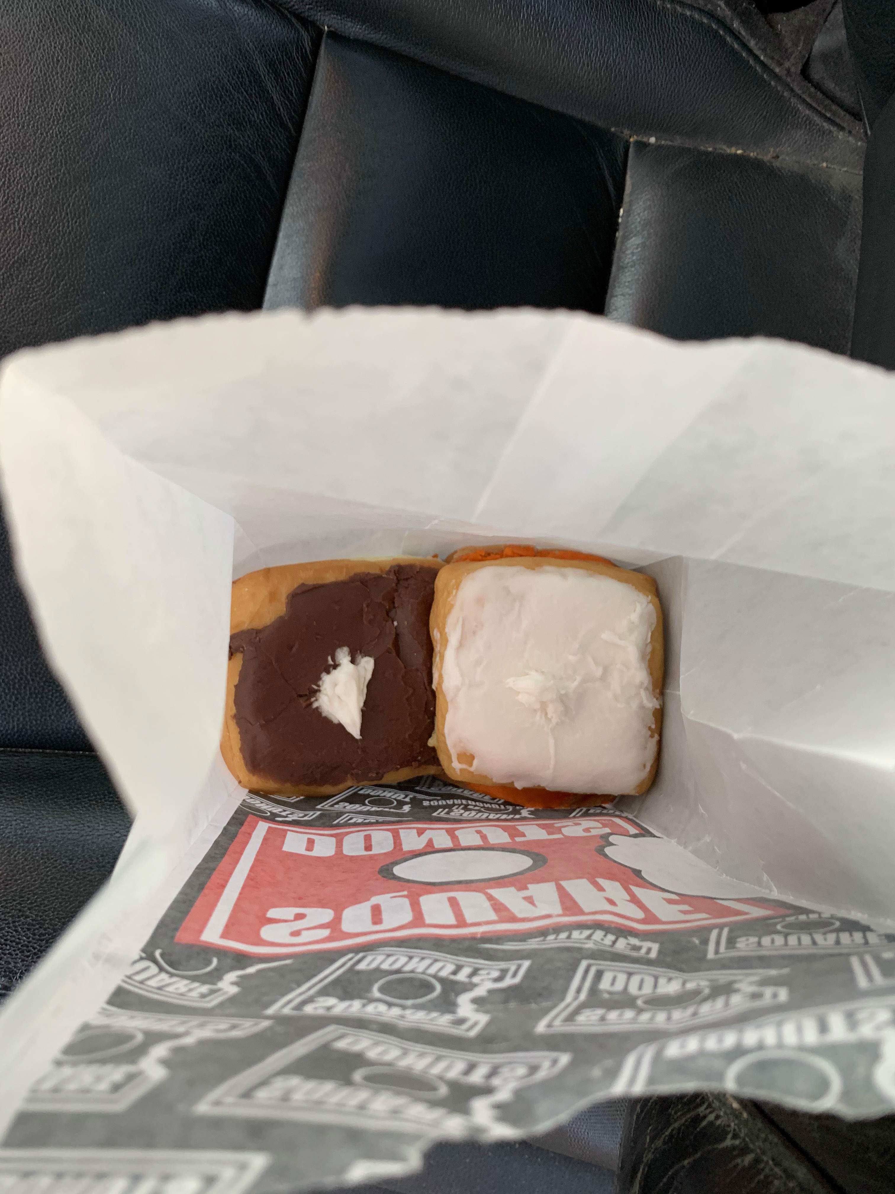
But that only fills the stomach for now — what about food for the road? That’s why God created donuts. And in Terre Haute, that means a place called Square Donuts.
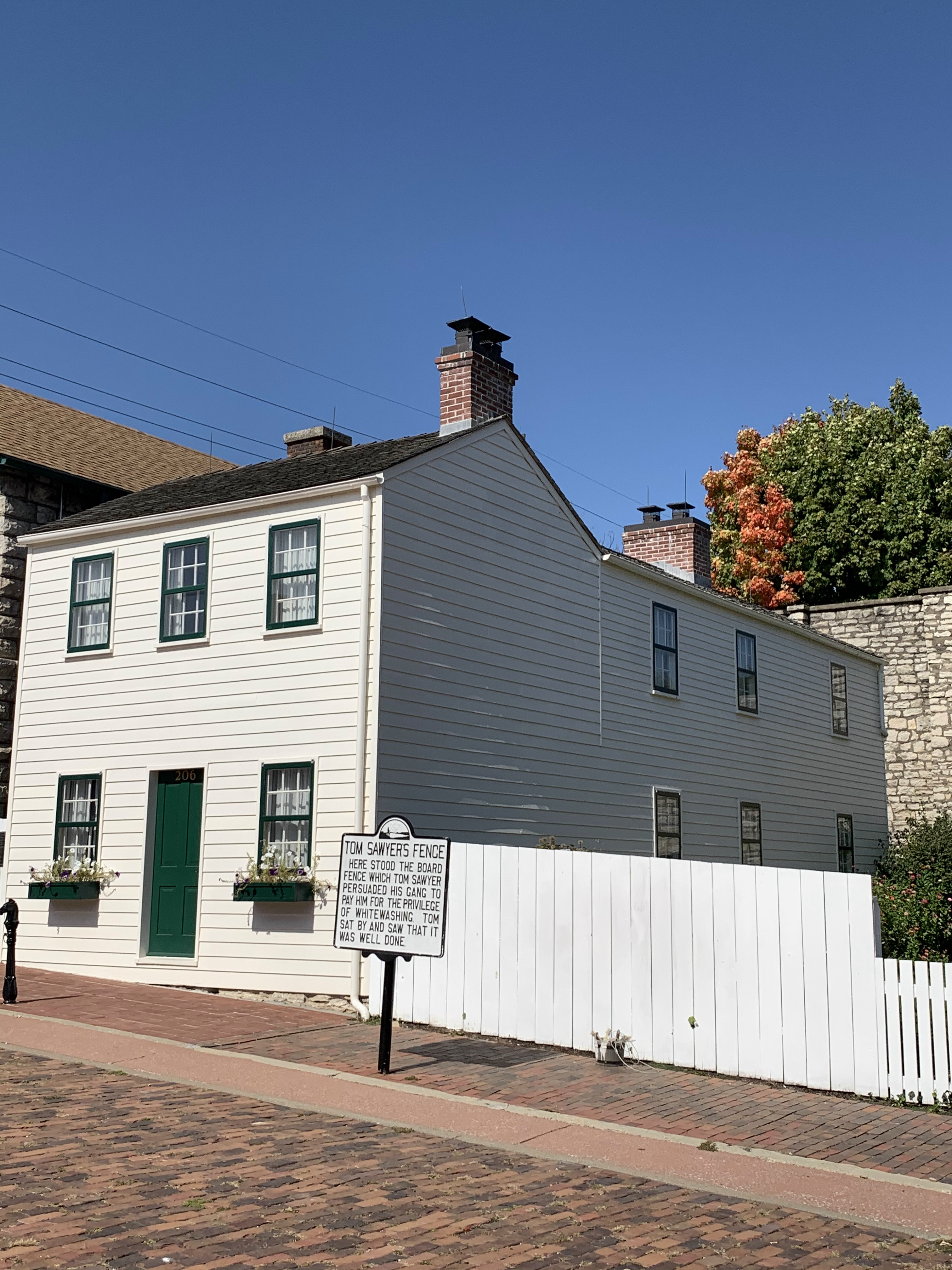
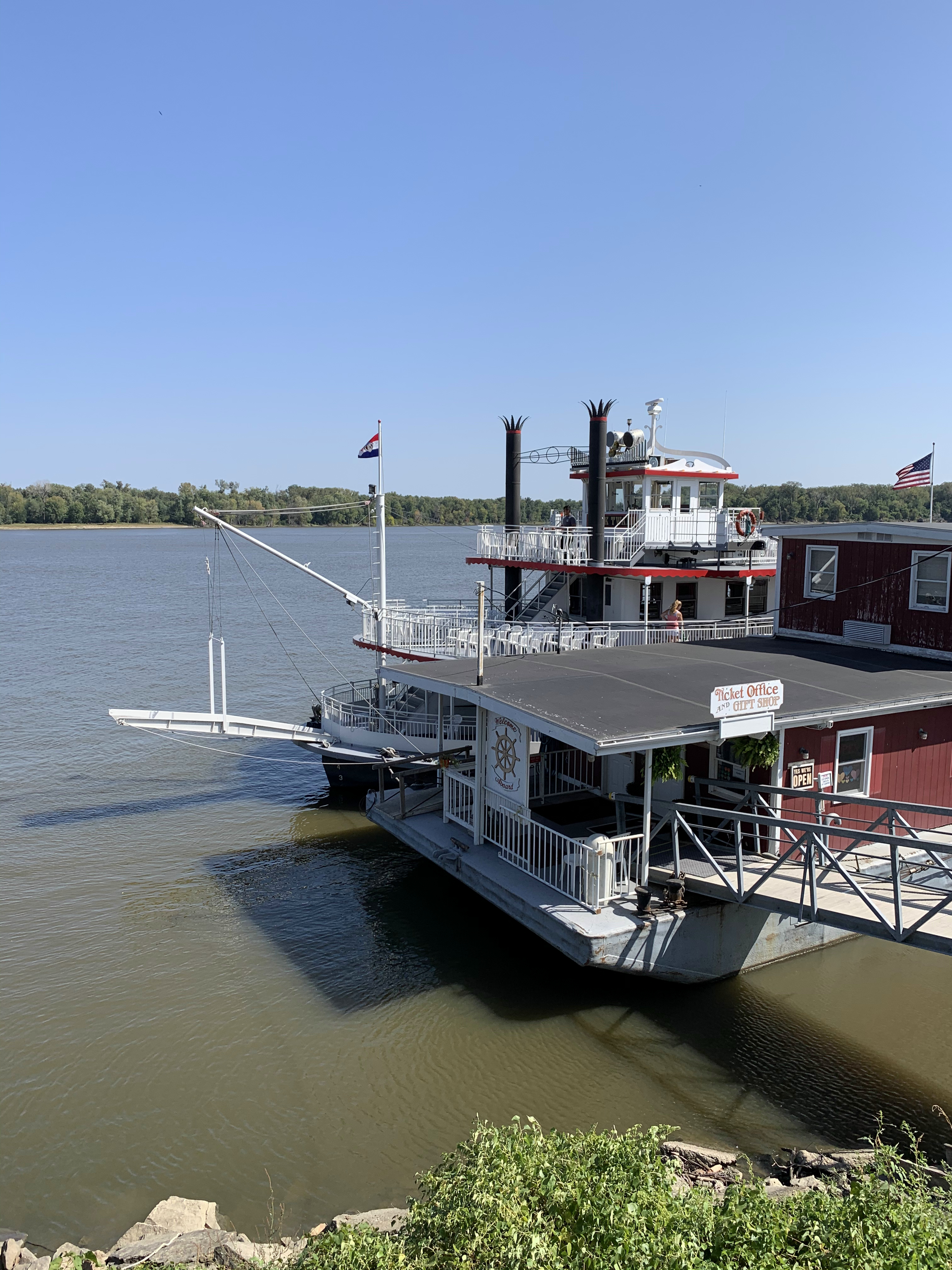
After a few hours of driving, I crossed the Mississippi River into Hannibal, Missouri. That means lunch, and it also means one of my favorite duos of literature — Tom Sawyer and Huck Finn.

I posted this at the time: “Meet two of my heroes: Huck Finn and Tom Sawyer. Huck is a Rousseauian type, a noble savage who disdains civilization, while Tom is more of an Enlightenment boy genius. I try to take after one or the other of these two, depending upon the situation.”
Phil Costopoulos responded: “Tom was a management genius. I talk about him all the time in staff meetings.”
Lunch from Java Jive on Main Street in Hannibal. Now time to hit the road again.
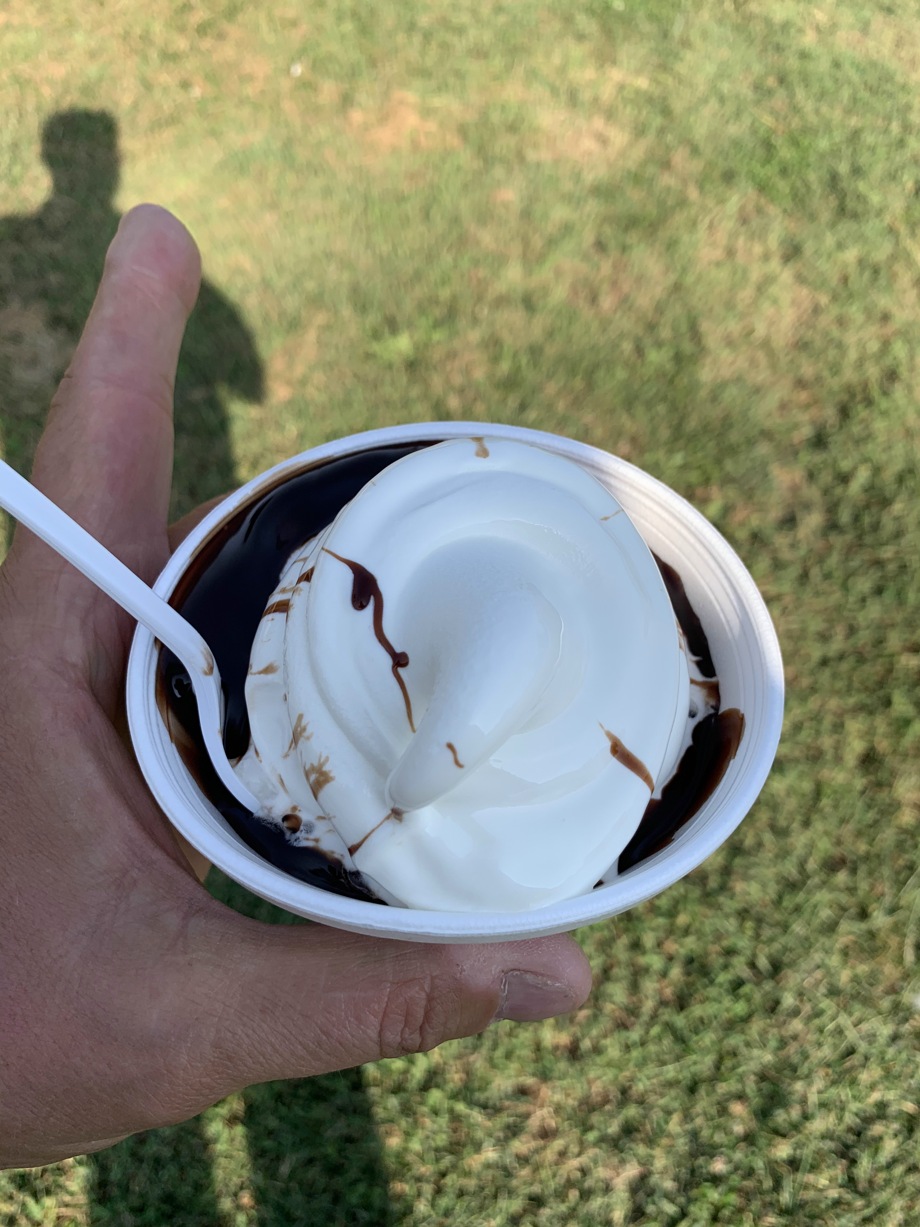
After a few hours of driving, I crossed the Missouri River into Kansas. The town of Wathena, Kansas is a few miles beyond the river and a great place to stop for ice cream. Try the Dairy Barn for ice cream — or buy the place — the owner has put it up for sale.

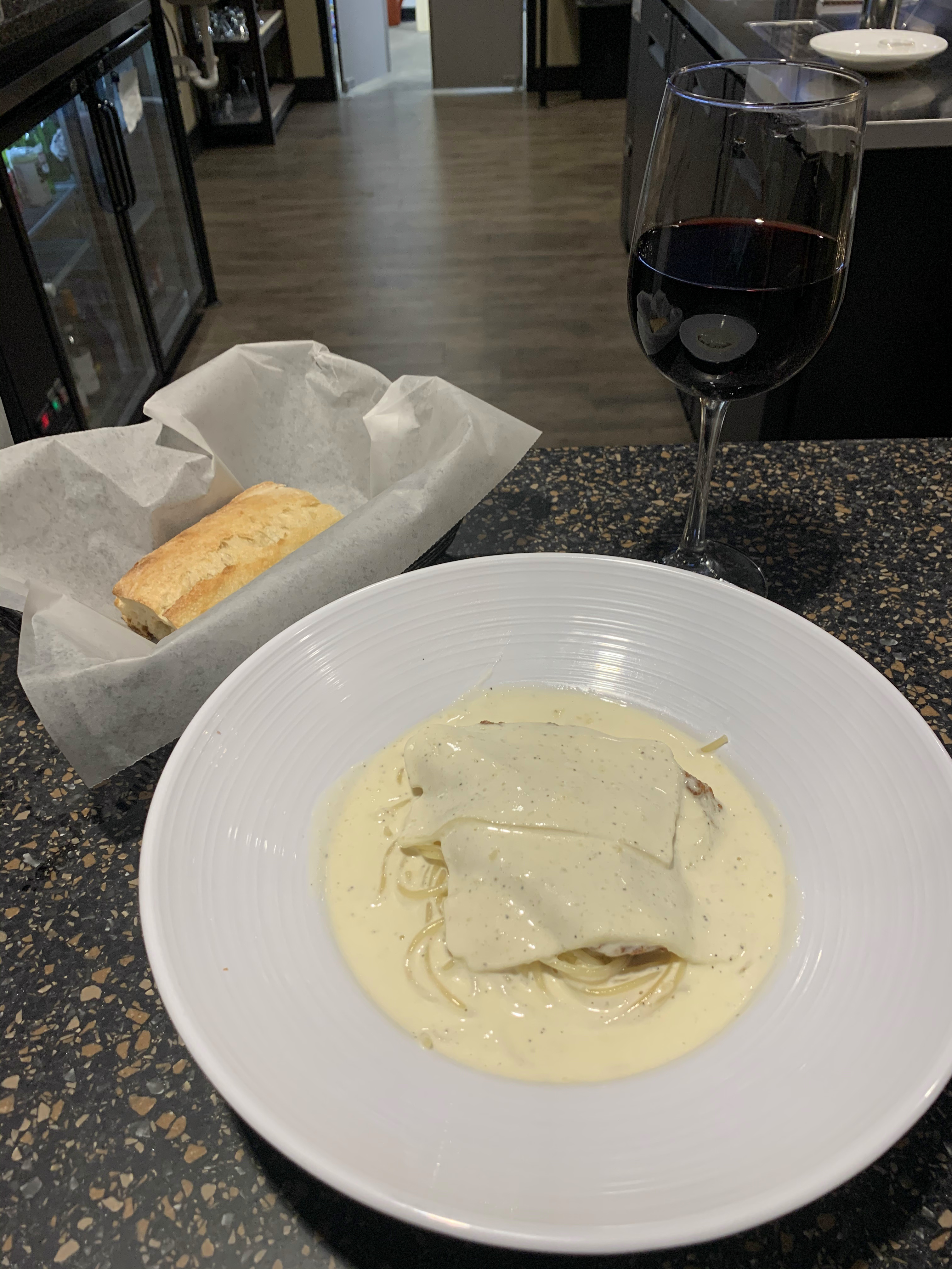
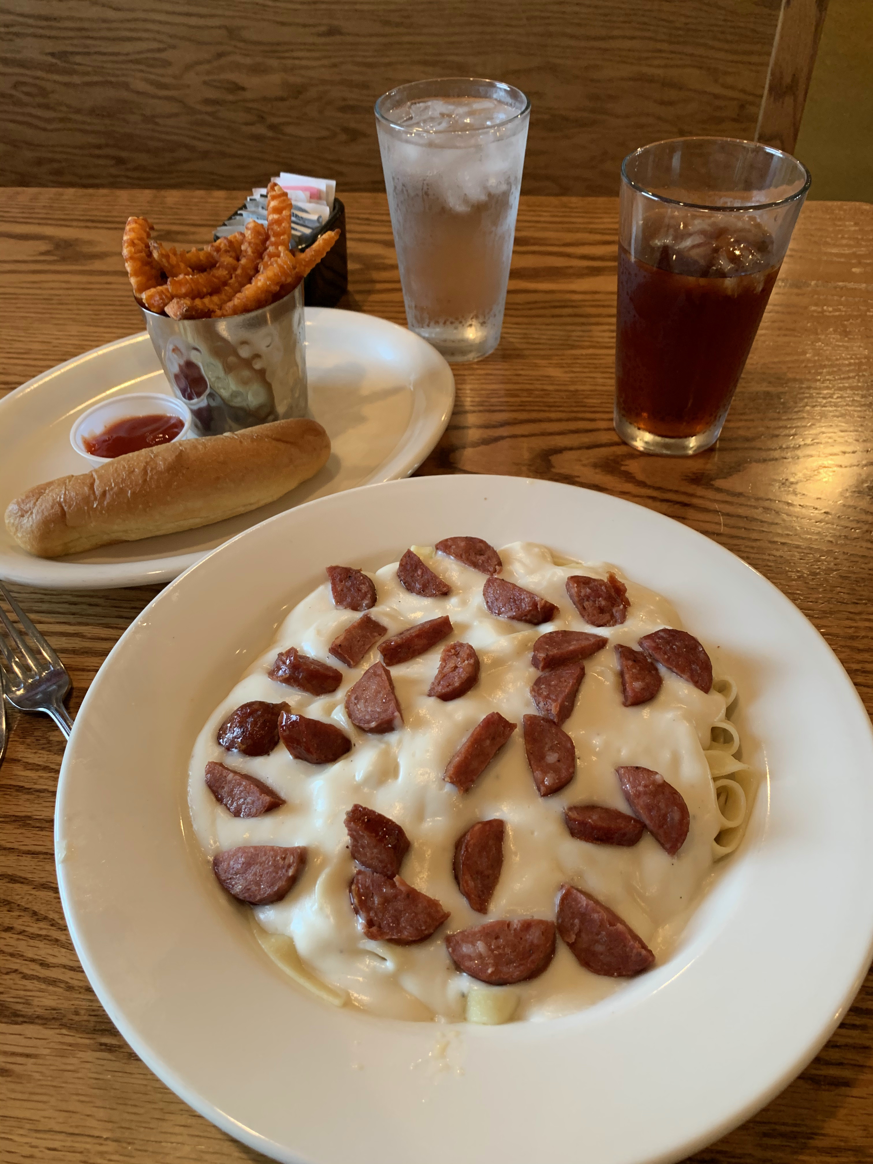
I got into Seneca an hour or so later. Dinner tonight is at the Willows Restaurant and Bar. I have their fettuccine alfredo — with andouille sausage instead of chicken — and a side of sweet potato fries and tea.
Links:
Square Donuts in Terre Haute
Java Jive in Hannibal, Missouri
Dairy Barn in Wathena, Kansas
Willows Restaurant and Bar in Seneca, Kansas
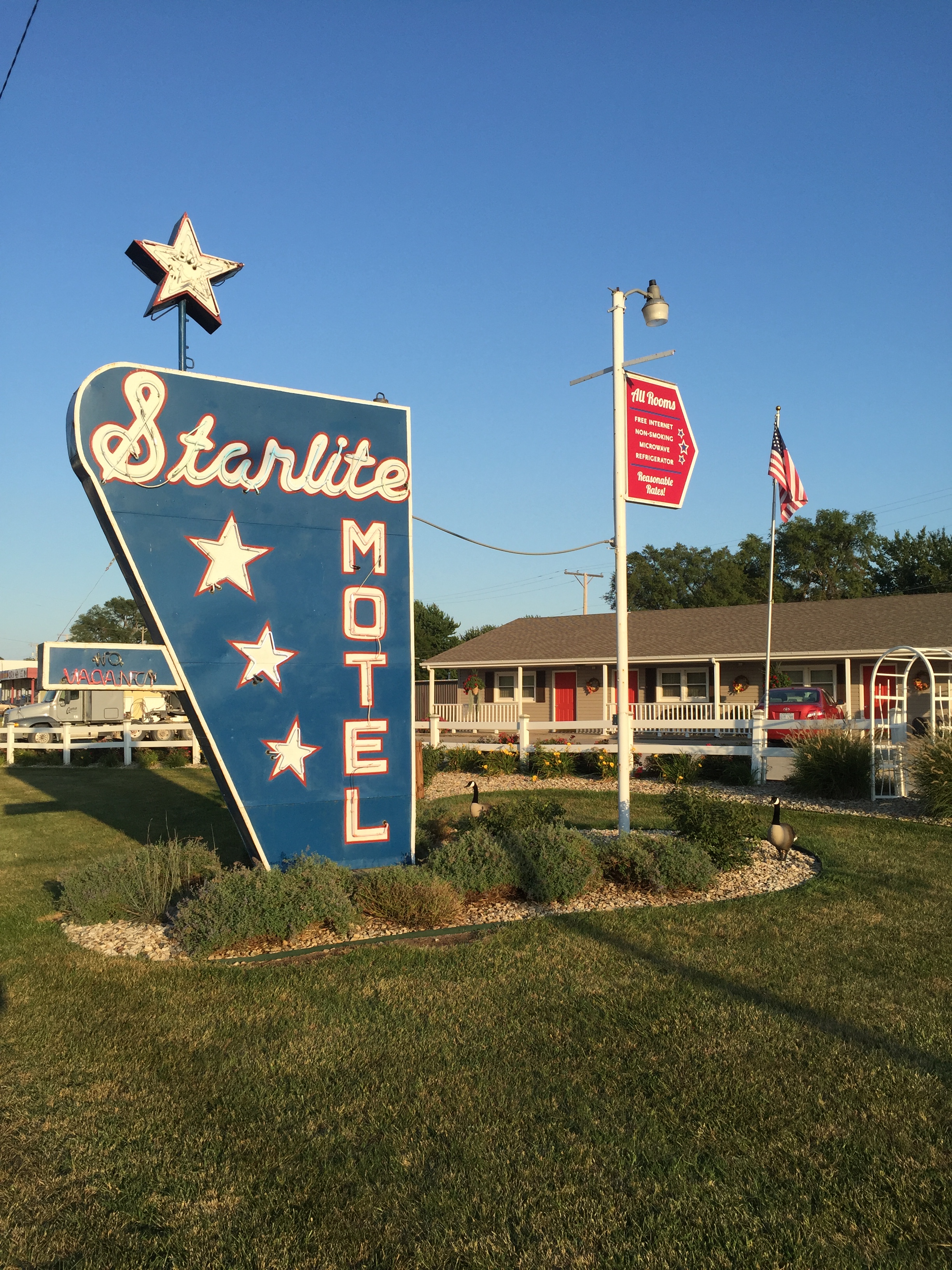
Starlite Motel in Seneca, Kansas
Saturday, September 26, 2020. Day 9: Seneca to Colorado Springs
I have an 8-hour drive home ahead of me, mostly along U.S. Route 36 in Kansas. By now I’m glassy-eyed determined and I only make stops for gas, and for lunch.
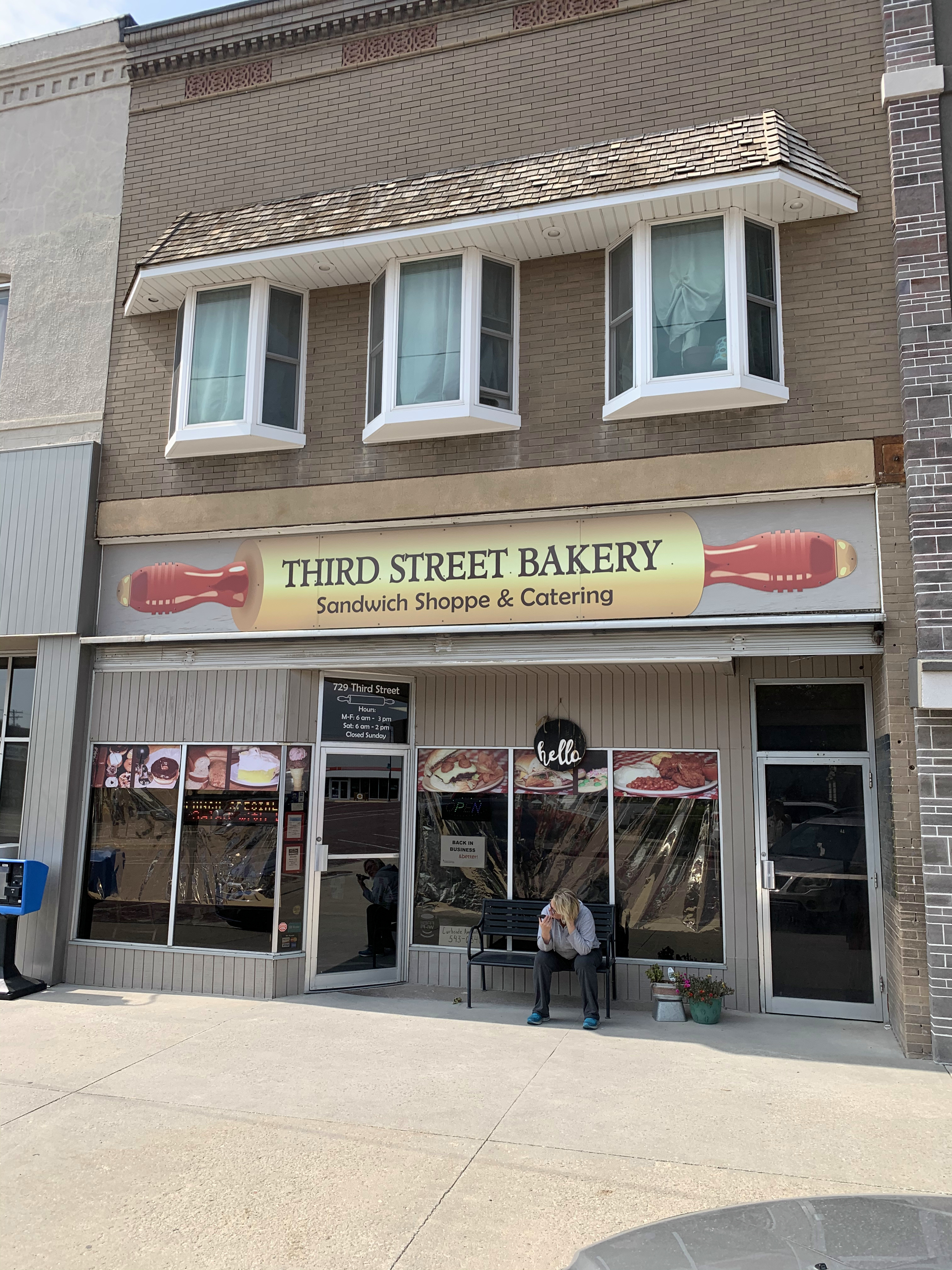
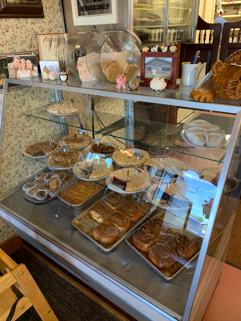
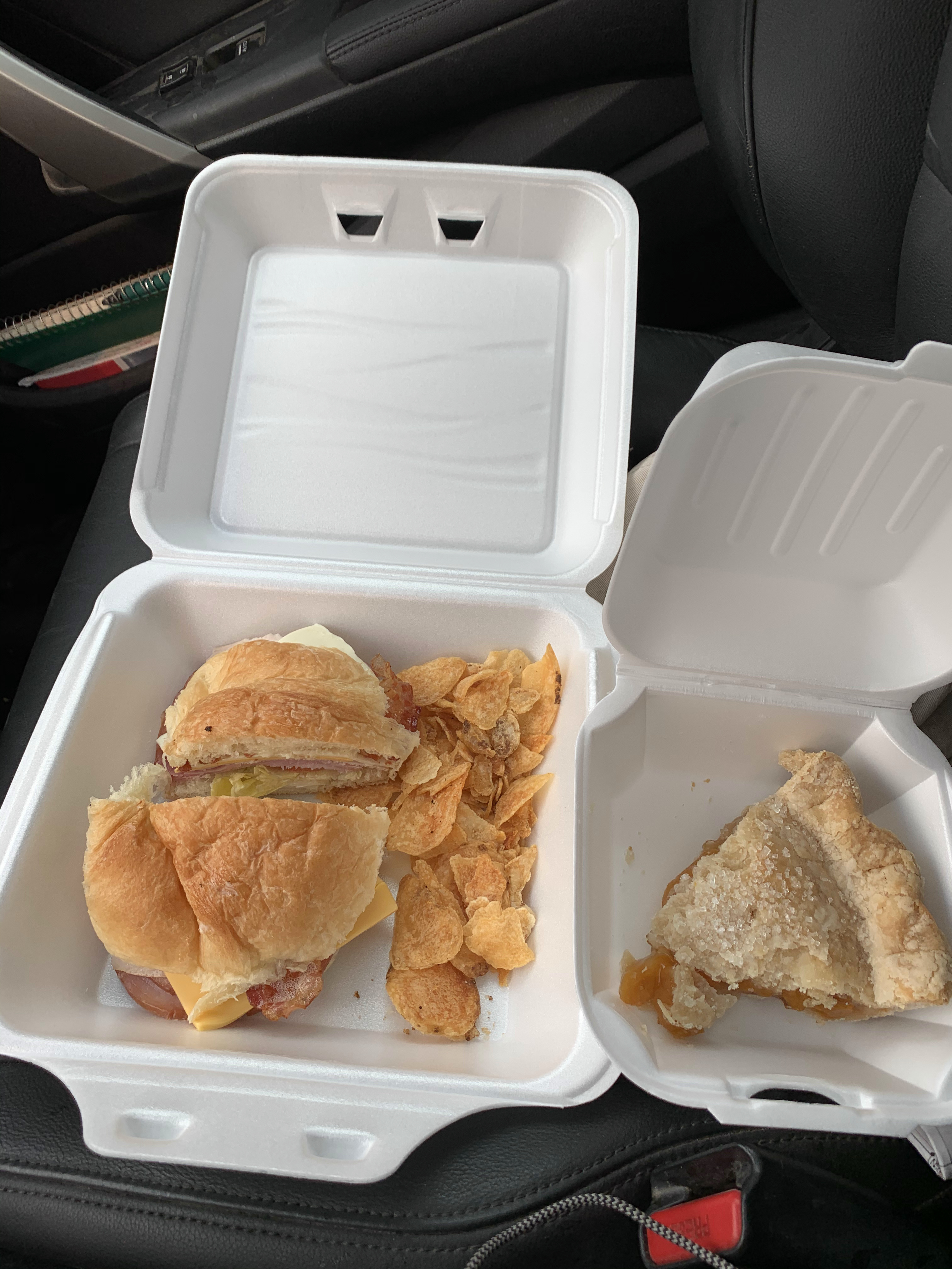
One more lunch behind the wheel on my way home. Peach pie for dessert. Phillipsburg, Kansas.
Links:
Third Street Bakery in Phillipsburg, Kansas
I’m home now. Thanks for following along and I hope you enjoyed my trip even half as much as I did.
All photos were taken by the author in September 2021
A list of all Freedom Voyage posts in TimManBlog can be found here.
I travel as a hobby and not for a living (yet) — but donations are happily accepted if you’d like to help defer my costs.
Thanks,
The TimMan
Make a one-time donation
Make a monthly donation
Make a yearly donation
Choose an amount
Or enter a custom amount
Your contribution is appreciated.
Your contribution is appreciated.
Your contribution is appreciated.
DonateDonate monthlyDonate yearly